Avenue of the Giants and the Lost Coast

Yamaha FJR Motorcycle Forum

Help Support Yamaha FJR Motorcycle Forum:

This site may earn a commission from merchant affiliate links, including eBay, Amazon, and others.

OrangevaleFJR

R.I.P. Our FJR Riding Friend
Joined
Jul 5, 2005
Messages
3,856
Reaction score
2
Location
Orangevale, CA
Sherri and I hit the road last weekend and Sherri asked me to take her to the big trees. On Saturday, October 22nd we rode to see the Avenue of the Giants and the Lost Coast Highway. We had the weekend without kids by surprise and this is the kind of surprise we try to take advantage of. So once again, without many plans and without reservations anywhere we took off. This map (see the red) shows the route we took so you know what we're talking about. I kinda free handed it, but I'll tell you about the actual roads throughout this report.
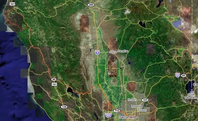
AveMap.jpg


I really like not planning. Not planning doesn't do much good for group riding, but taking off without plans is sure a great way to magnify the feeling of freedom that is obtained on a motorcycle. Quick pre-planning decisions had me trying to decide the best roads to take up there. I opted for the less exciting route: one I had taken before. We rode down Hazel Ave to Highway 50 Westbound to I-5 Northbound. This superslabbing can be boring at times, but there are some things I like to see on the way. One of them is the Sacramento River.

Consider the Sacramento River is big enough to have the Port of Sacramento, and ultimately empties into the largest delta in the world. I didn't know this fact until I moved here, so it must be a seldom known fact right? Impressive as it is, what impresses me the most is how many people this river feeds via the farming it allows to flourish, and the great variety of fish species that are supported by this fisheries of fisheries. I have come, over my fourteen years in California, to love the Sacramento River.

In it's honor, here is a picture of the Sacramento River from I-5:
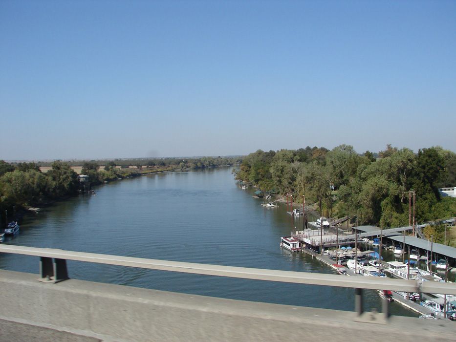
DSC01737.jpg


This location is not too far North of Sacramento and is located near Woodland, one of the greatest agricultural centers in the world. Few people know that more rice is grown in this area than in all of Japan. Add to that the fruit, nuts, tomatos galore and just about every type of good plant thing you can think of. If the midwest is the bread basket of the world, and having lived in Nebraska I know something of this, California is certainly the fruit basket, rice bag and nut tree of the world. You want food? It's here.

Here are some fields, of which the ones in the foreground have been harvested, yet you can see the green further away. the climate here allows year round farming. There seem to be farms in every State of this country, and farms in every country I've been to. I have a deep respect for the providers in this world. The amount of people the feed is a number we cannot reconcile just by thinking about it.
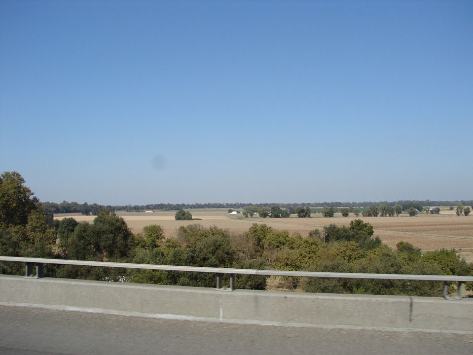
DSC01736.jpg


Here is an orchard on Highway 20 Westbound between I-5 and the coastal range:
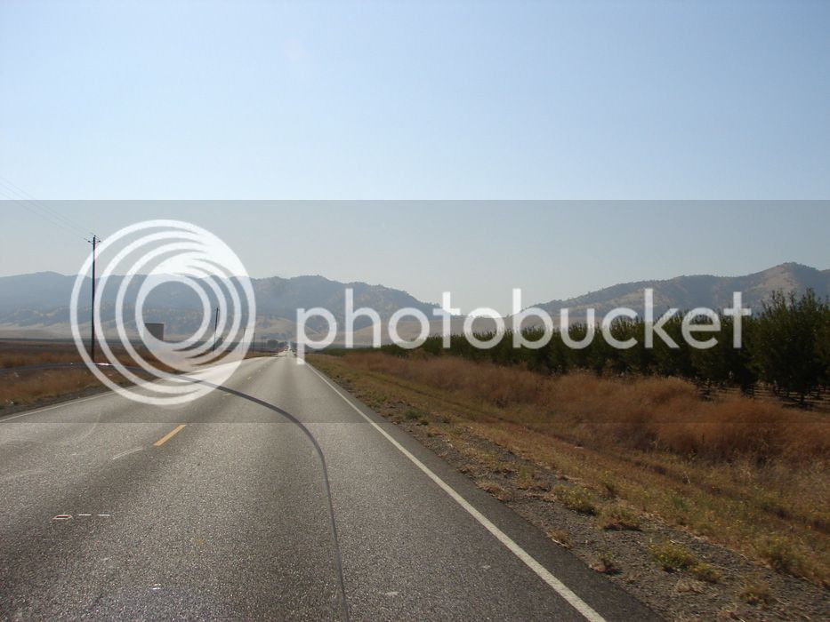
DSC01739.jpg


California's Central Valley has a way of being backward. Things are brown in the Summer heat and green in the moisture of Winter and Spring. This day, the Central Valley's sky was had even more haze than usual. There were some large fires about.

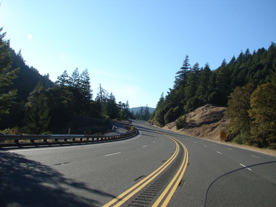
Highway 20 is a great road that goes through the Coastal Range, crosses the valley and heads up into the Sierra. The Coastal Range offers some long and fast sweepers.
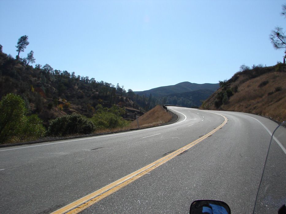
DSC01757.jpg


It winds along the shore of Clear Lake, which is somewhat known for the bass fishing tournaments, but better known around here as a pretty cool place to go to hang out.
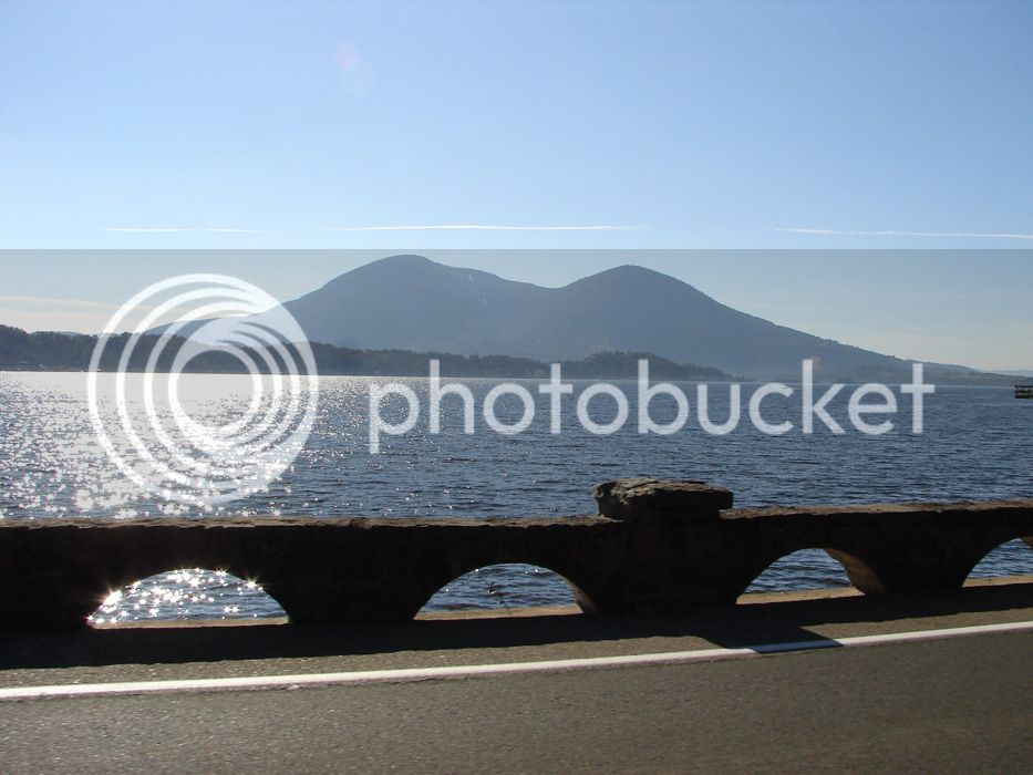
DSC01767.jpg


Loons like it too, as a huge flock hits the lake:
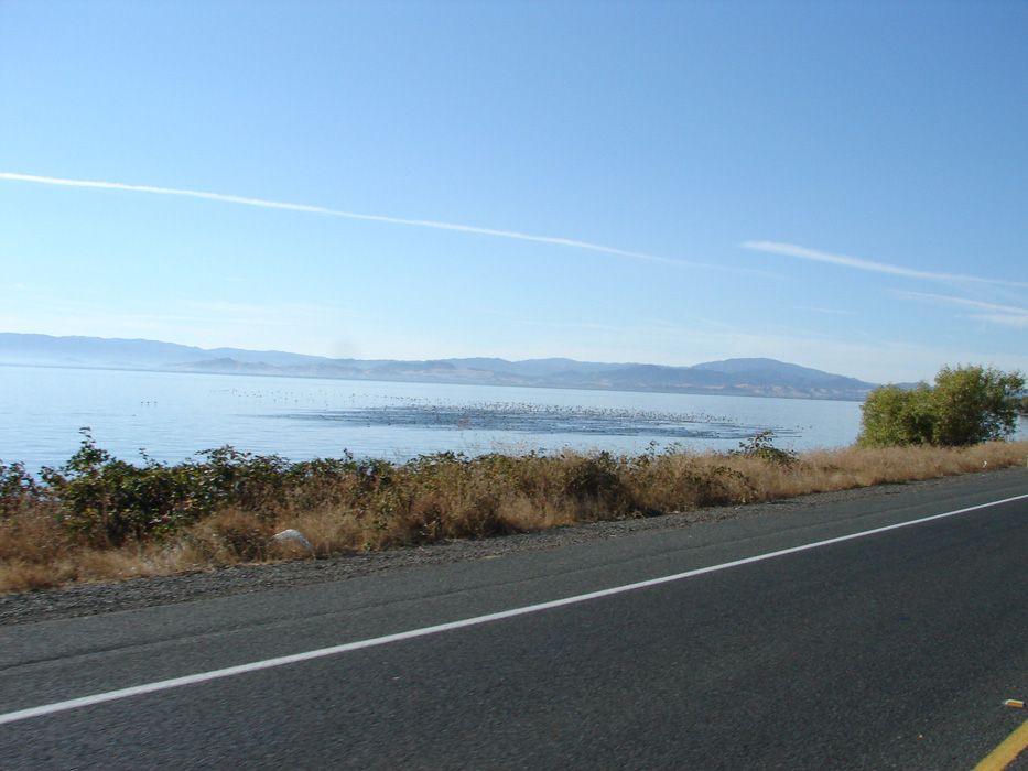
DSC01771.jpg


continued on next reply...
 
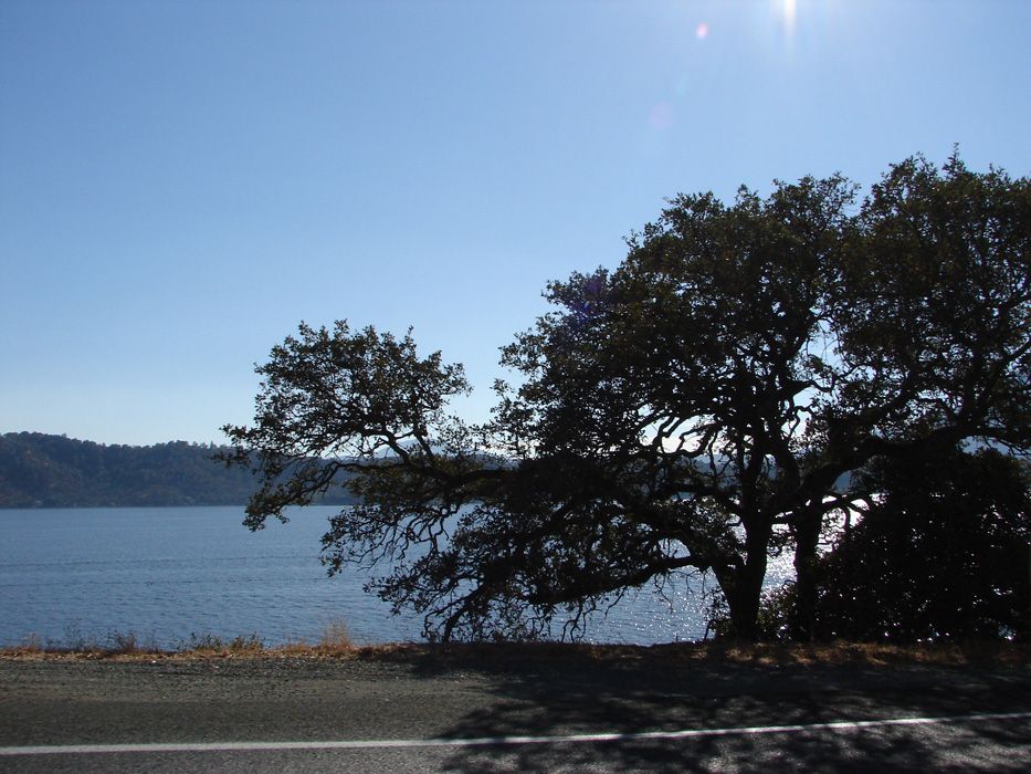
Clear lake is a place of Oak trees, orchards, newer vineyards, a mixture of older and newer homes, and nice views. The road is twsity, but not great for riding as there is always slow traffic and neighborhoods to go through. Ride it for the views, and to get where you are going. Racing here is not advisable. However, riding slowly allows you to notice the old oaks reaching out for the sun and creating a gnarled view of age.

DSC01768.jpg


Brown can look good eh? Nice composition Sherri! My wife rocks B)

DSC01759.jpg


Highway 20 took us to US 101 Northbound. 101 North of 20 is a mixture of freeway and 2 lane road. It is fun how it varies between size and in speed. I always enjoy riding 101 North. It's well travelled, kept in good shape, and takes you through quaint towns full of artists, communes of hippies (the Deadheads had to go somewhere right?) and logging towns. It's quite the mixture of left and right wing influence. For people like me that can appreciate everyone, it gives comfort to the multiple personalities I exhibit...all at the same time!

DSC01785.jpg


DSC01800.jpg


DSC01803.jpg


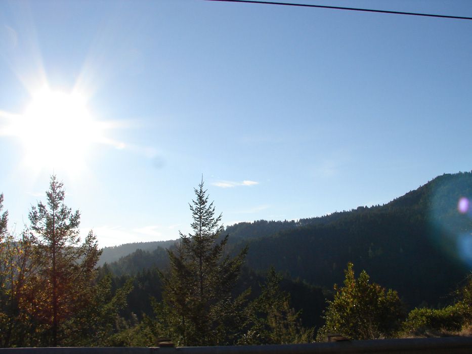
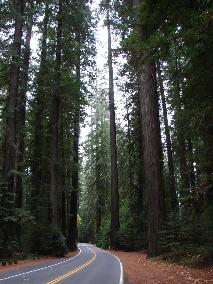
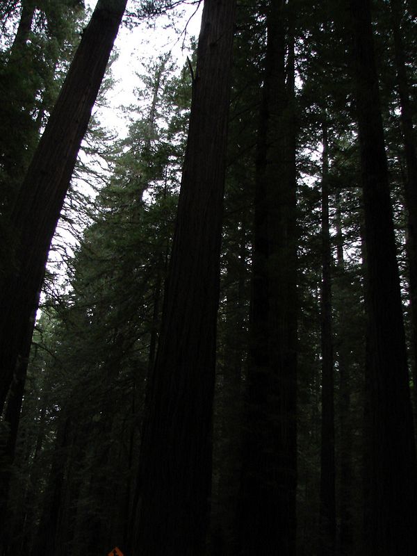
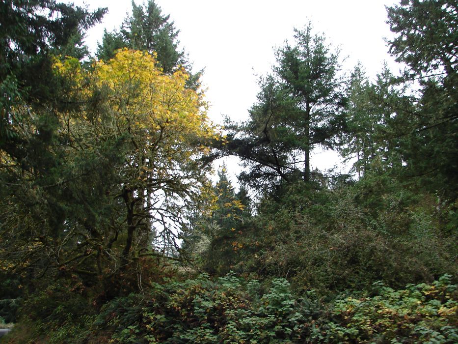
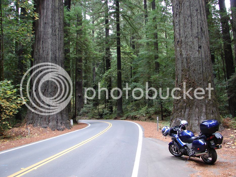
It doesn't take long to get to the forests. They get so beautiful. By 6pm, we had hit the beginning of the Avenue of Giants. The Avenue of Giants is essentially the old highway prior to 101. It's very well maintained and brings you through grove after grove of "WOW" inducing greatness in the form of living trees. Daylight is from time to time blotted out, yet other times the forrest lights up to show its splendor. It was about 5:30 pm when we arrived at the first attraction.

DSC01812.jpg


We stopped for the night in Miranda in some quaint cottages that were built in the 1920's. They were well maintained and very comfortable with 'stylin' bed spreads. I recommend them. I don't know their name, but if you are in Miranda and see cottages, they are the ones. If you are in Miranda and don't see them, you closed your eyes :) They have kitchens and barbeques. I think I'll go back there and spend more time. Why, well...keep reading.

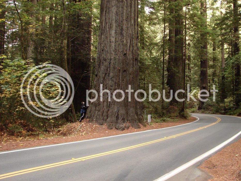
The next day we woke and were quickly treated to what was to come. So these are giants:

DSC01883.jpg


and they are...

 
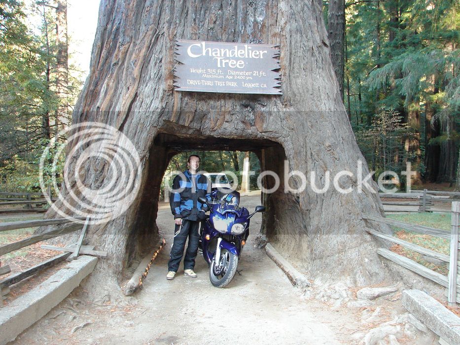
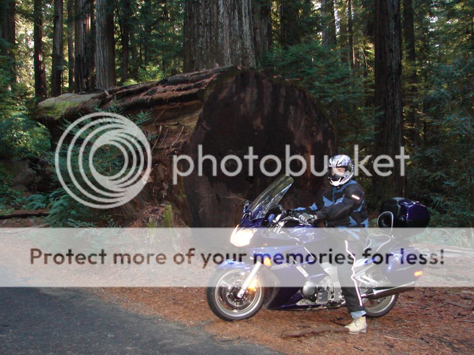
Words can't really describe what we found, and pictures can only try to capture the greatness of this place. Know this, none of the following pictures were taken more than 100 yards from where the bike is parked in the picture below.

DSC01833.jpg


DSC01834.jpg


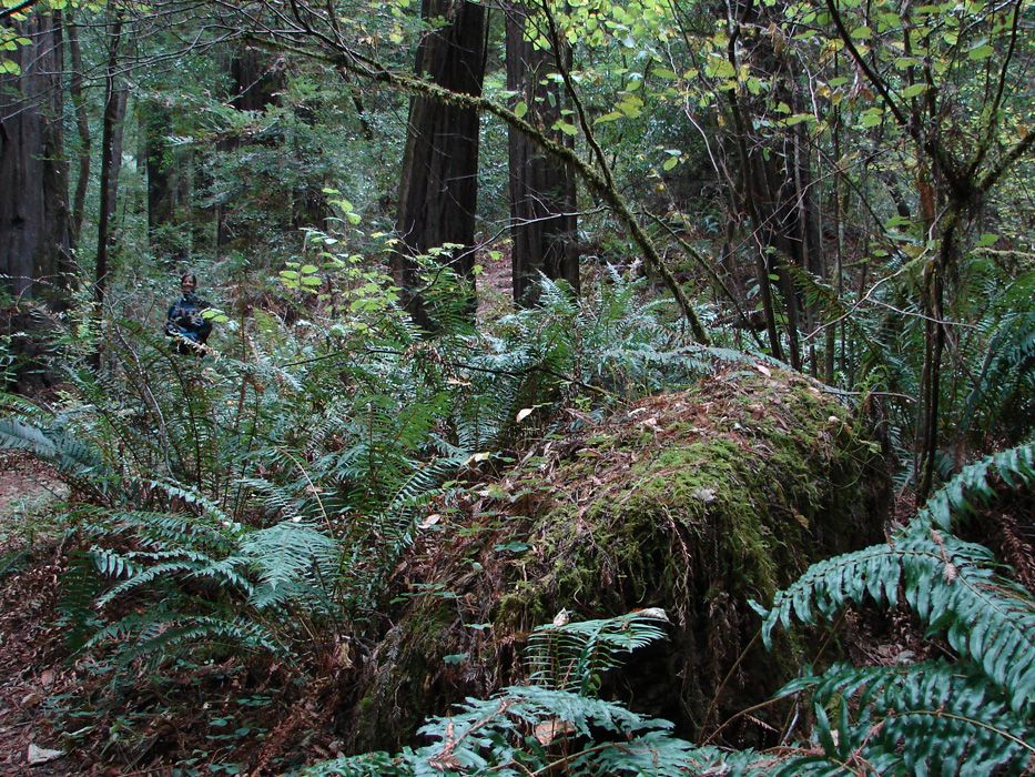
There were gardens that looked too beautiful to be intentional.

DSC01841.jpg


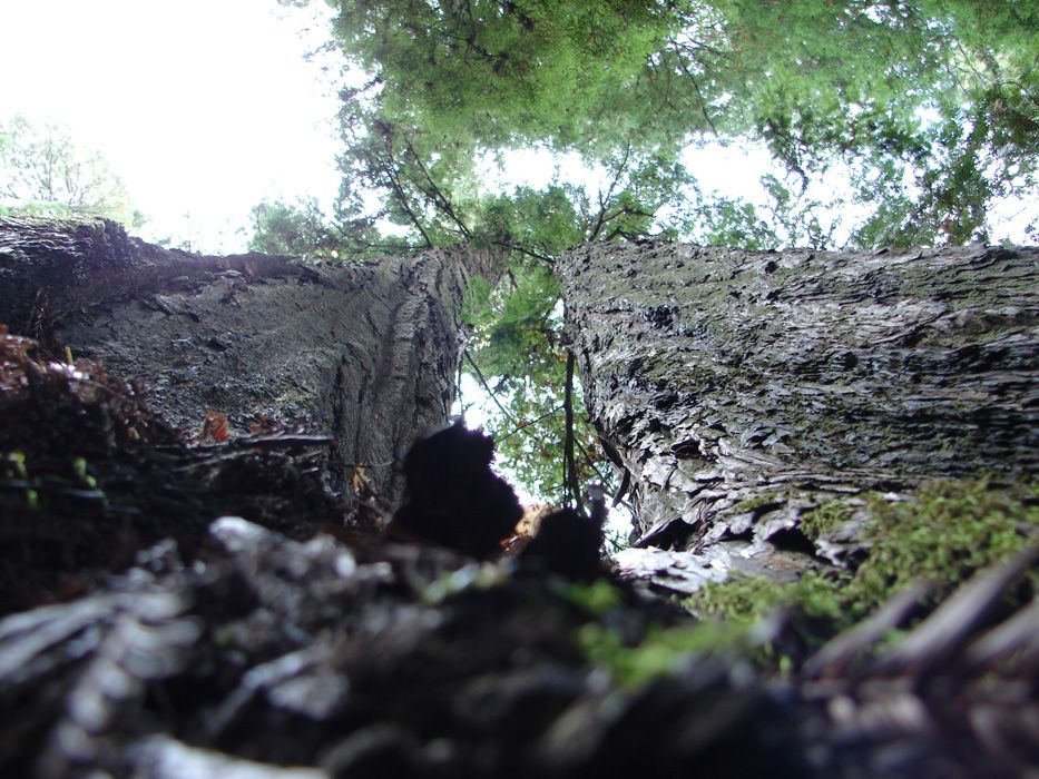
There were cathedrals for those that are lucky enough to find the real ones.

DSC01869.jpg


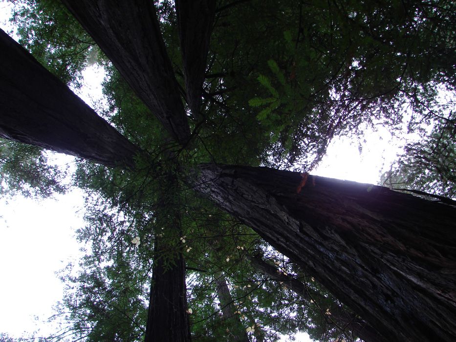
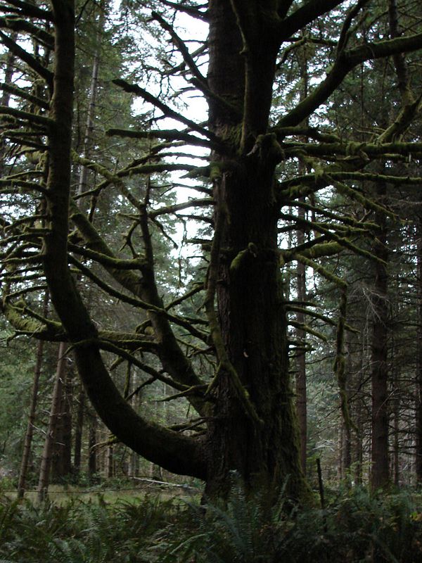
There were proud giants that grew two trunks just to touch the sky that much better.

DSC01876.jpg


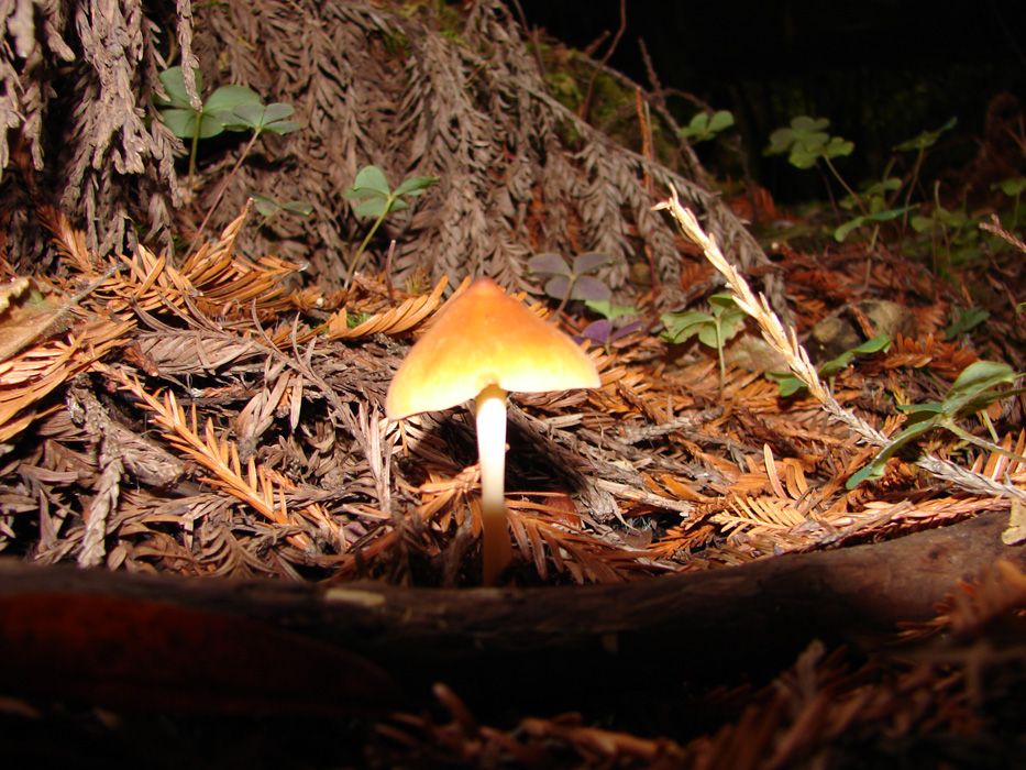
There were small treasures amongst the giants.

DSC01859.jpg


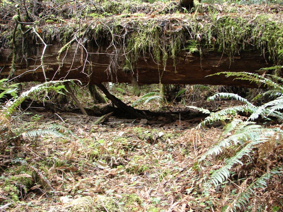
Fallen tree giving back what was used for some time...some thousands of years and the gift was well cared for by thick moss and clover.

DSC01861.jpg


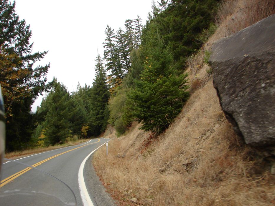
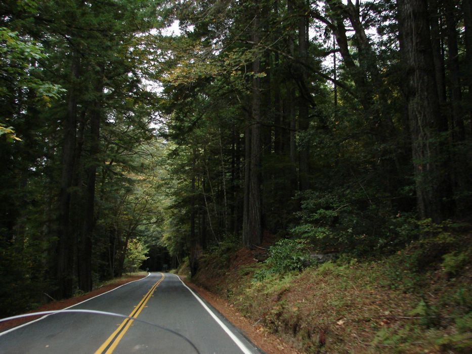
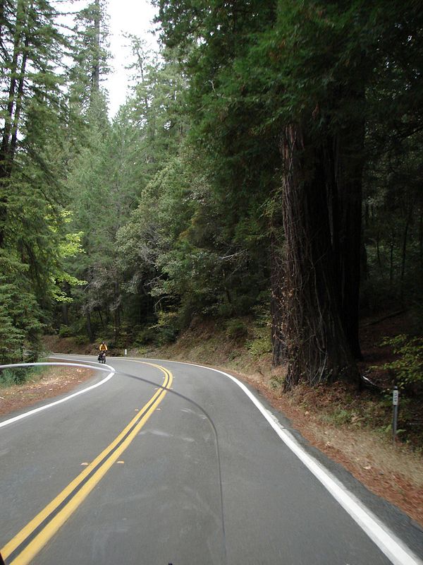
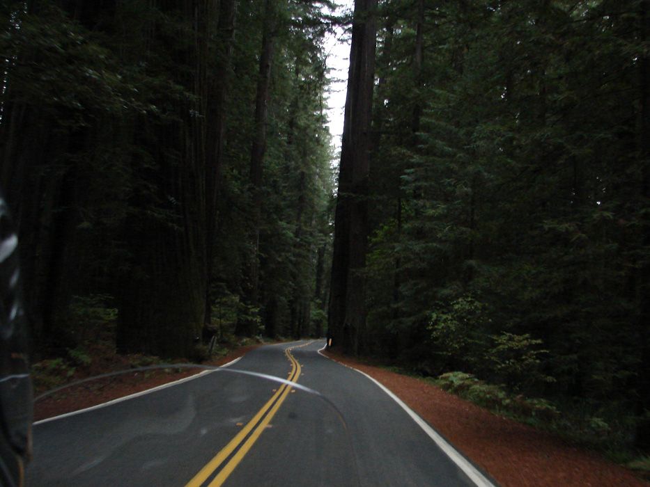
The ride went on from this time we spent in the grove just North of Miranda. Grove after grove we rode through, from dark to light and back in again. Here are some shots Sherri took from the bike on the Avenue of the Giants.

Dark

DSC01893.jpg


Light

DSC01887.jpg


in and out...

DSC01888.jpg


DARK

DSC01889.jpg


I idled past this guy to impact his time here less. It is so quiet in the forrest that I hated to interrupt his tranquility

DSC01895.jpg


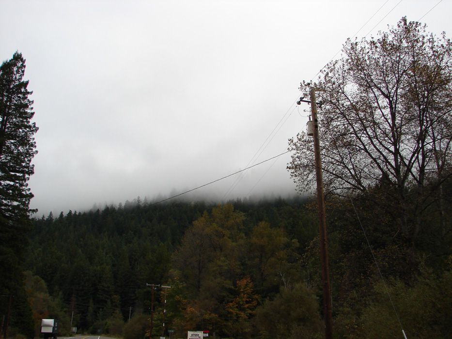
Did I mentioned mist hanging on mountain's treetops?

DSC01900.jpg


...there was that too

 
The Avenue of Giants is simply a source of awe for us. Many things remind us in life how much it sucks to work. This is one of those places!

DSC01903.jpg


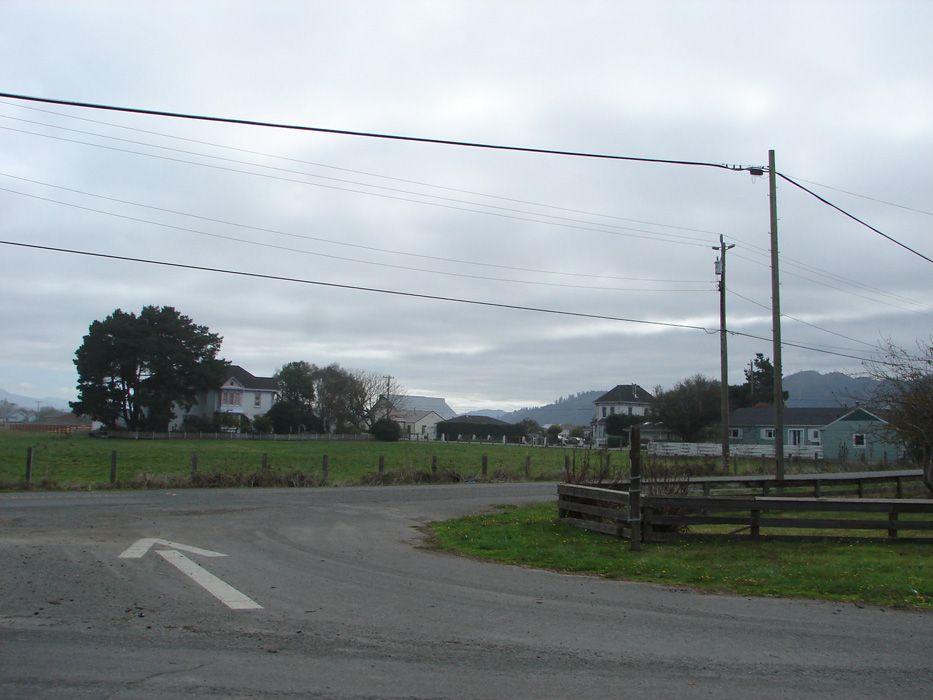
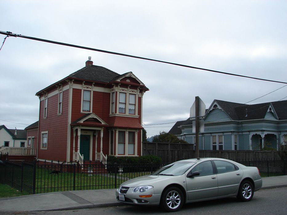
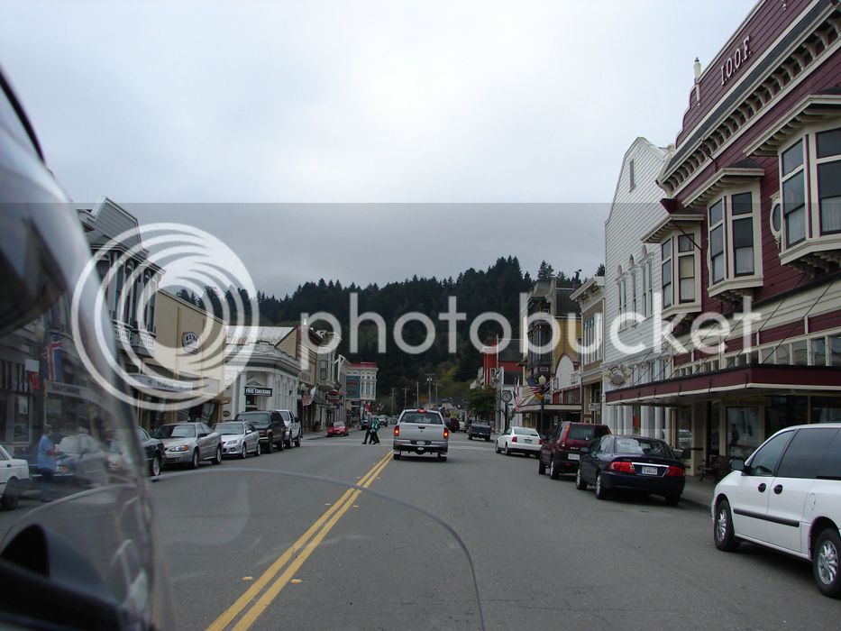
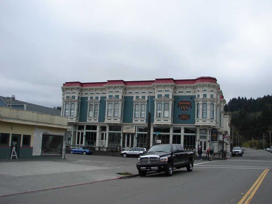
North of the Avenue of Giants, we had lunch in Fortuna. The people there were nice and asked about our ride and gave us directions to Ferndale so that we could discover the Lost Coast. Ferndale is known for its Victorian architecture and rightly so.

Being North is cool...it's summer AND green :)

DSC01909.jpg


DSC01911.jpg


DSC01916.jpg


DSC01917.jpg


Fortuna is also known to have nice shopping. We ride, and seldom shop. so we found the road that follows the Lost Coast and takes us to the next towns...
DSC01919.jpg


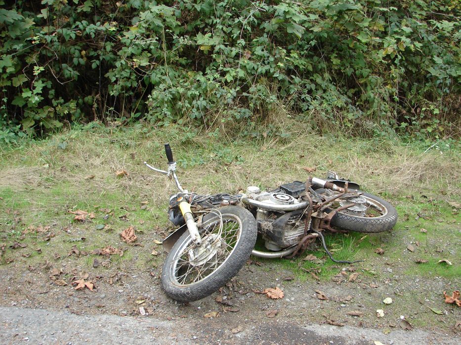
and once we entered the road, we were reminded by an old English bike to be careful!

DSC01922.jpg


need parts?

 
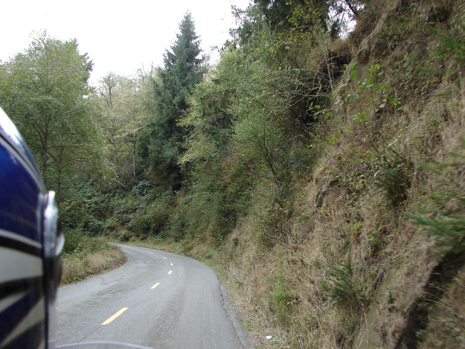
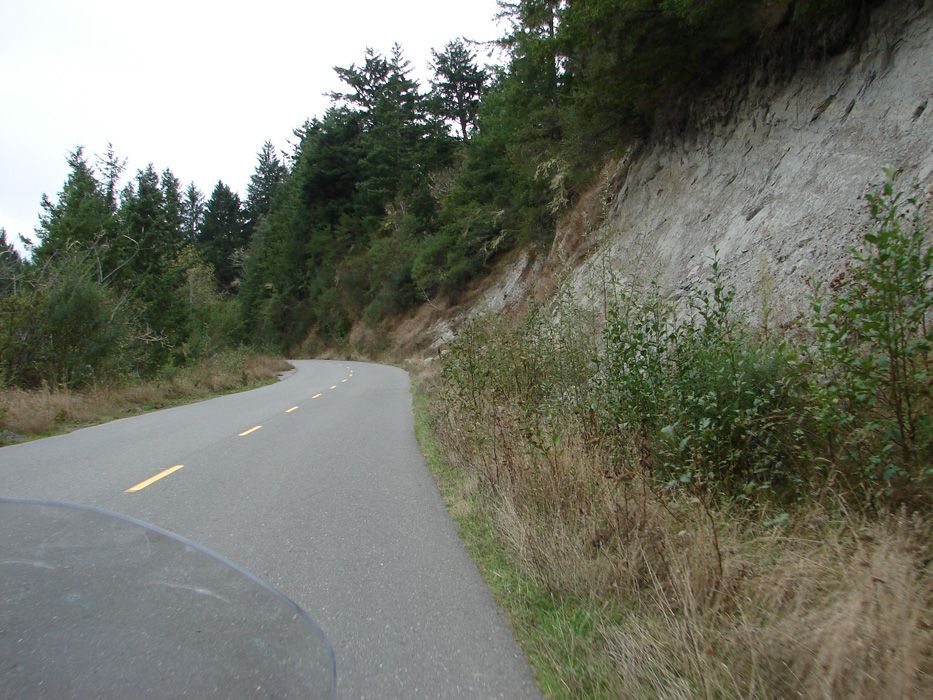
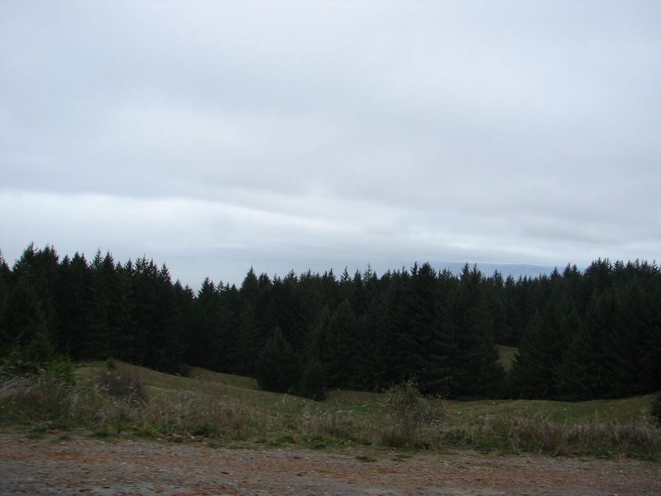
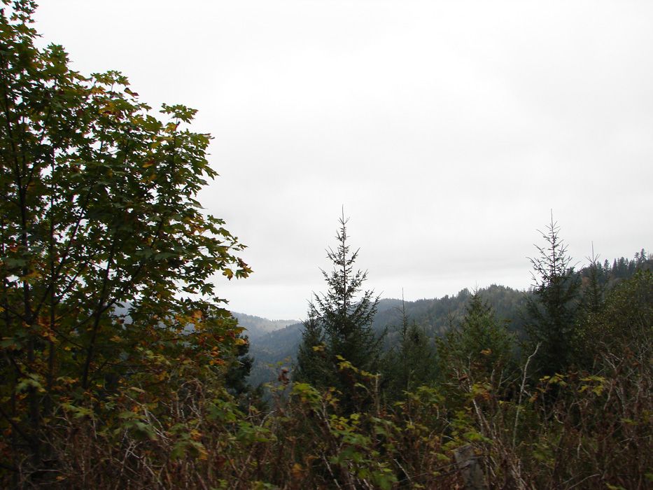
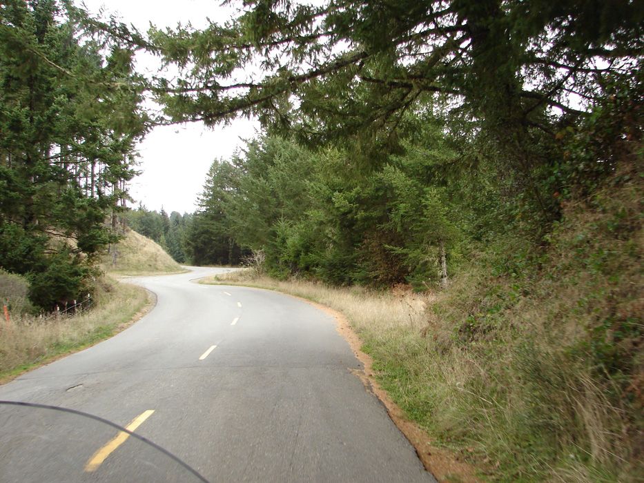
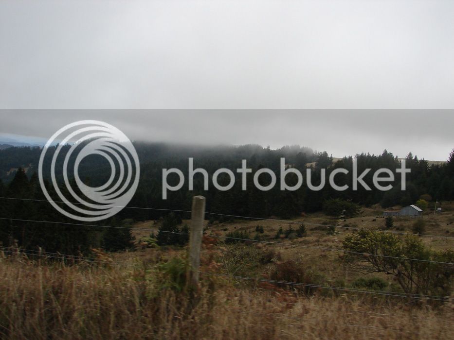
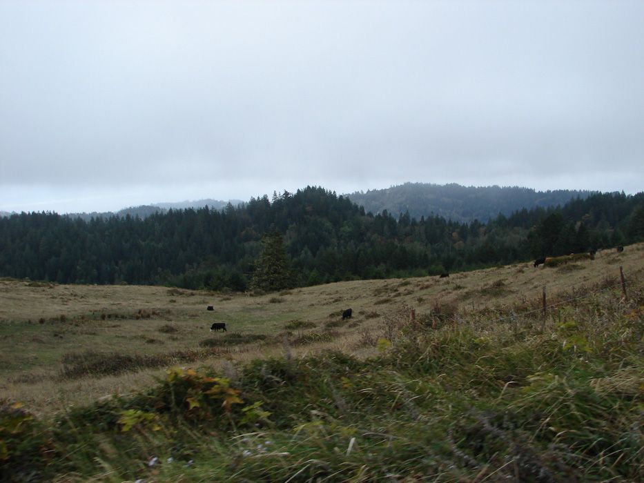
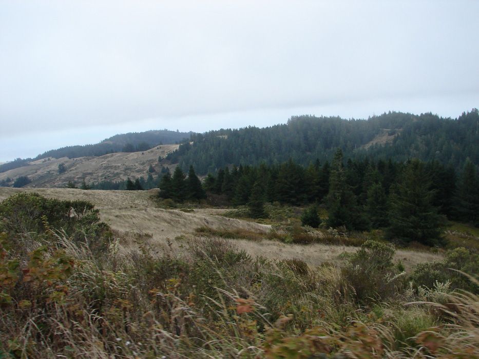
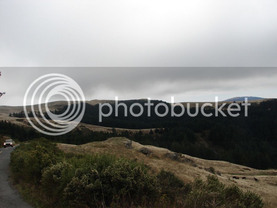
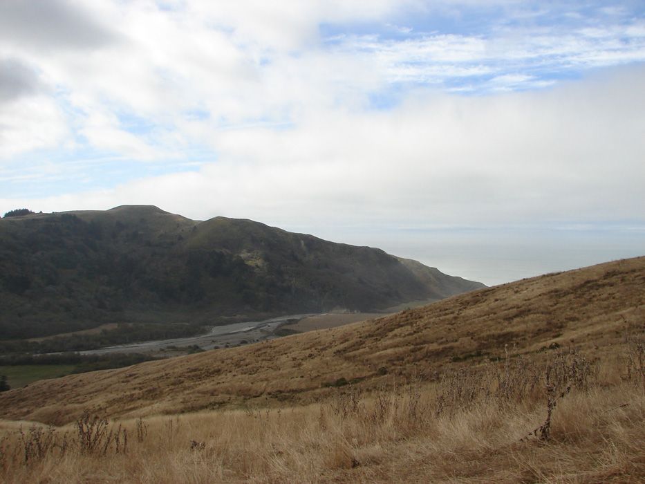
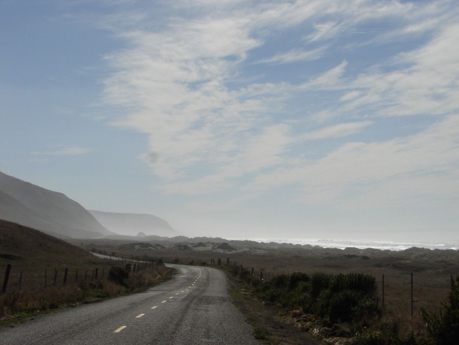
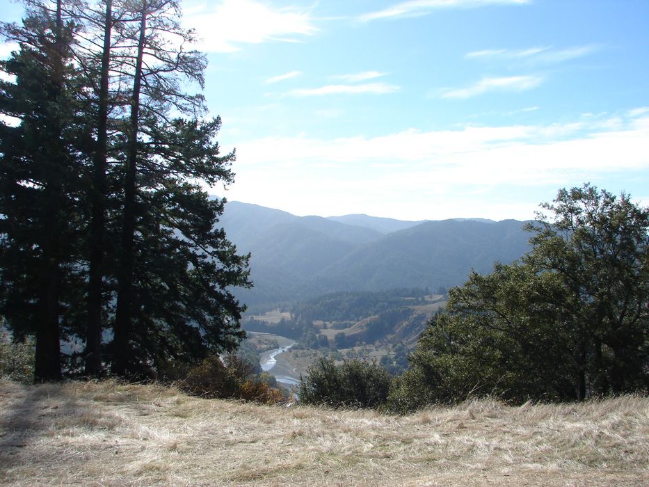
The Lost Coast Highway, or Mattole Road, or 221...whatever you want to call it is NOT in good repair. Be prapared for a bumpy ride that is worth it! The views change on this road from thin to thick forrest, to highland grass fields, to incredible panoramas with long views of layers of hills and a few few jaw dropping experiences as turns are finished and hills are overcome.

Here are some pics that speak for themselves.

DSC01927.jpg


DSC01931.jpg


DSC01937.jpg


DSC01938.jpg


DSC01939.jpg


okay...there are some sections worth riding!

DSC01940.jpg


...all this and we haven't got to the coast yet!

 
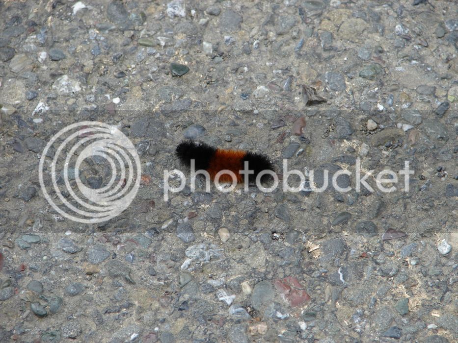
Oh, and there was the hatch of the black and red catepillars. This only happens once every 11, 397 years! All other years, they are all black, or all red.

DSC01929.jpg


Yep...made that up.

DSC01942.jpg


DSC01943.jpg


Still the Mattole Road :) and a LONG way to go!

DSC01947.jpg


Happy California cows make our cheese better:

DSC01950.jpg


DSC01956.jpg


DSC01957.jpg


Where's the coast? Lost. :) Not there yet...getting closer though!

 
Last edited by a moderator:
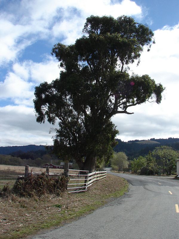
Do some trees seem to have wisdom? I think so.

DSC01961.jpg


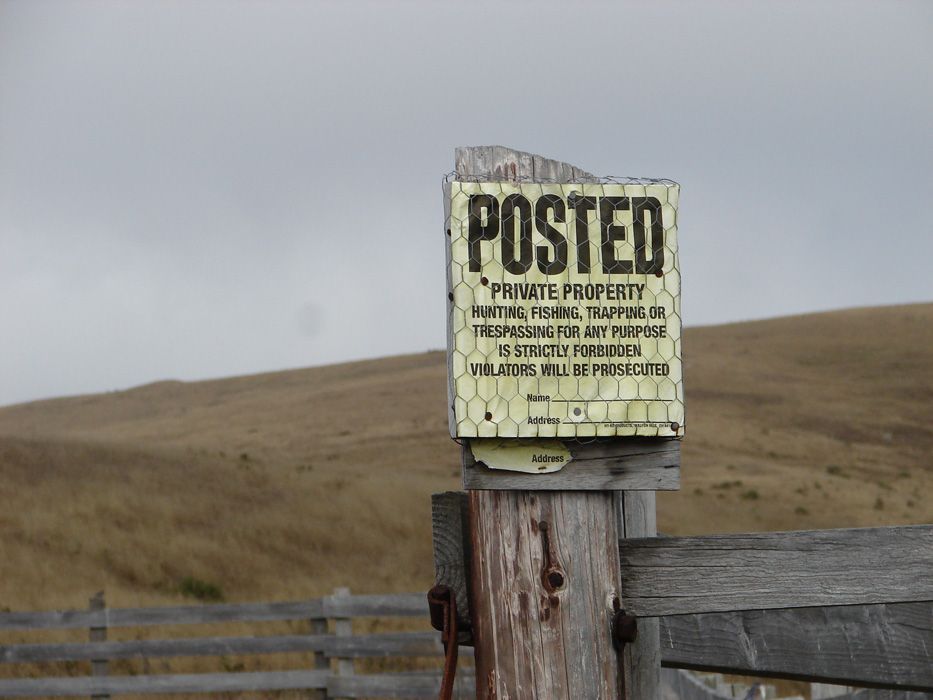
Nothing but ranches up here...and I would want to protect this property from those that might abuse it too!

DSC01972.jpg


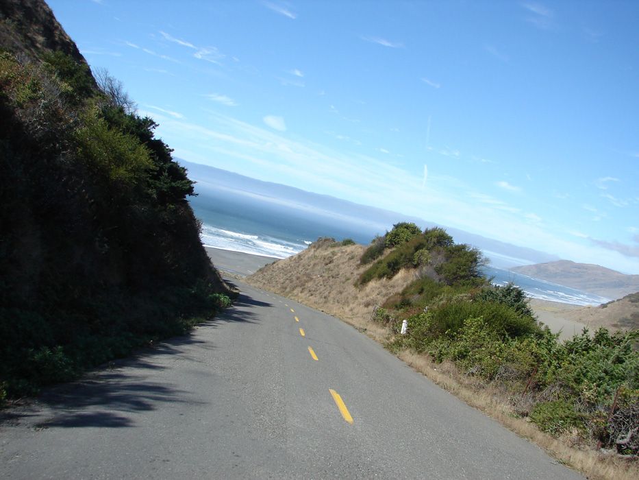
Hey...there's the coast!

DSC01982.jpg


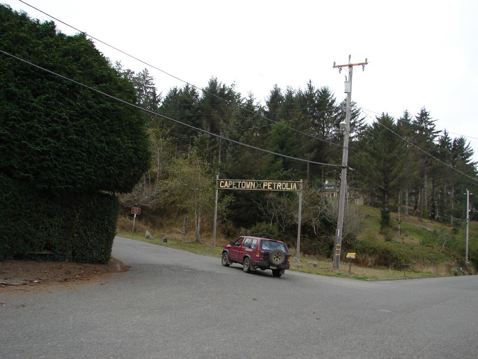
just a few miles to go...but we had to go through Capetown first. I think Capetown had 5 houses...but I might be wrong on the count. If you live here, don't forget anything when you go shopping. The nearest store is a long, bumpy ride away. I could live there. I could.

DSC01992.jpg


From Capetown, you climb a big hill quickly. It's fun. Windy climbs are great aren't they. Then at the top, the road wraps around the hill and you take a sharp turn and see this. Holy shit.

DSC01997.jpg


forgive me

 
and then a few bends away Sherri says, "Holy Shit!"

DSC02004.jpg


forgive her. I did, and later I hit the brakes to get one more shot

DSC02005.jpg


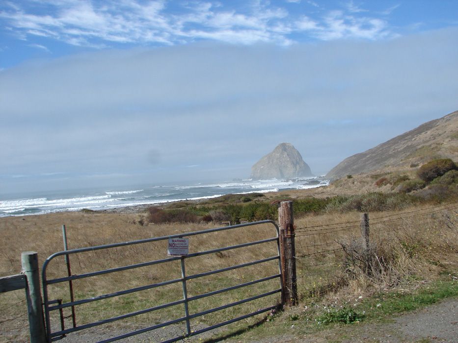
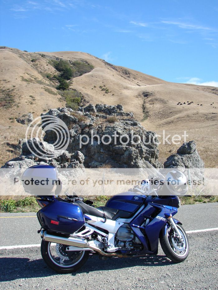
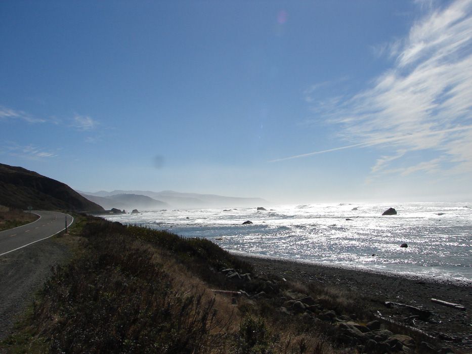
we got to the coast, and the first picture was of Blue Belle in front of a cool rock formation....the coast was so good that I think we might have been afraid to take it in completely yet.

DSC02010.jpg


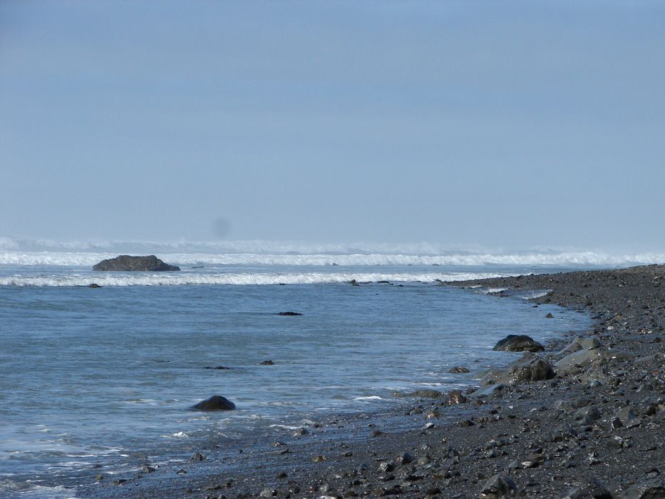
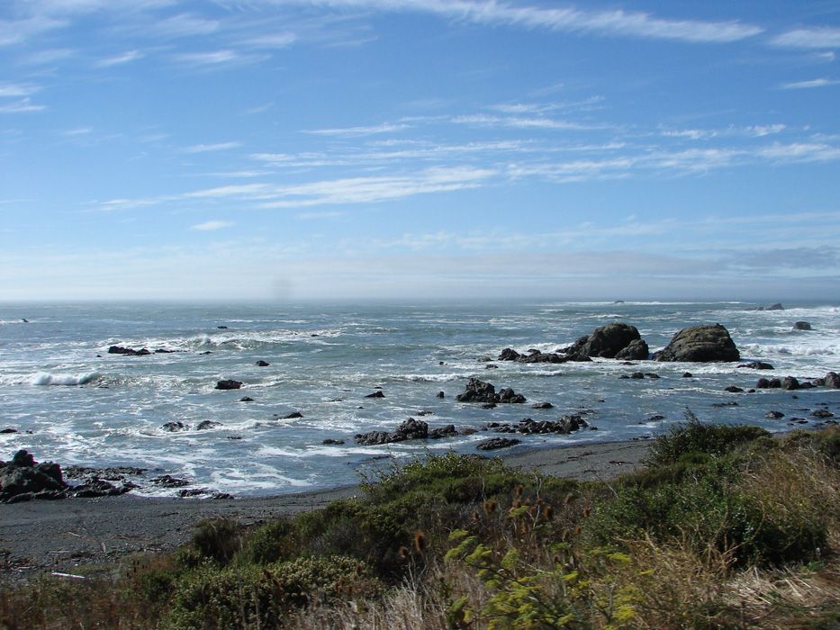
Okay...what does that coast look like?

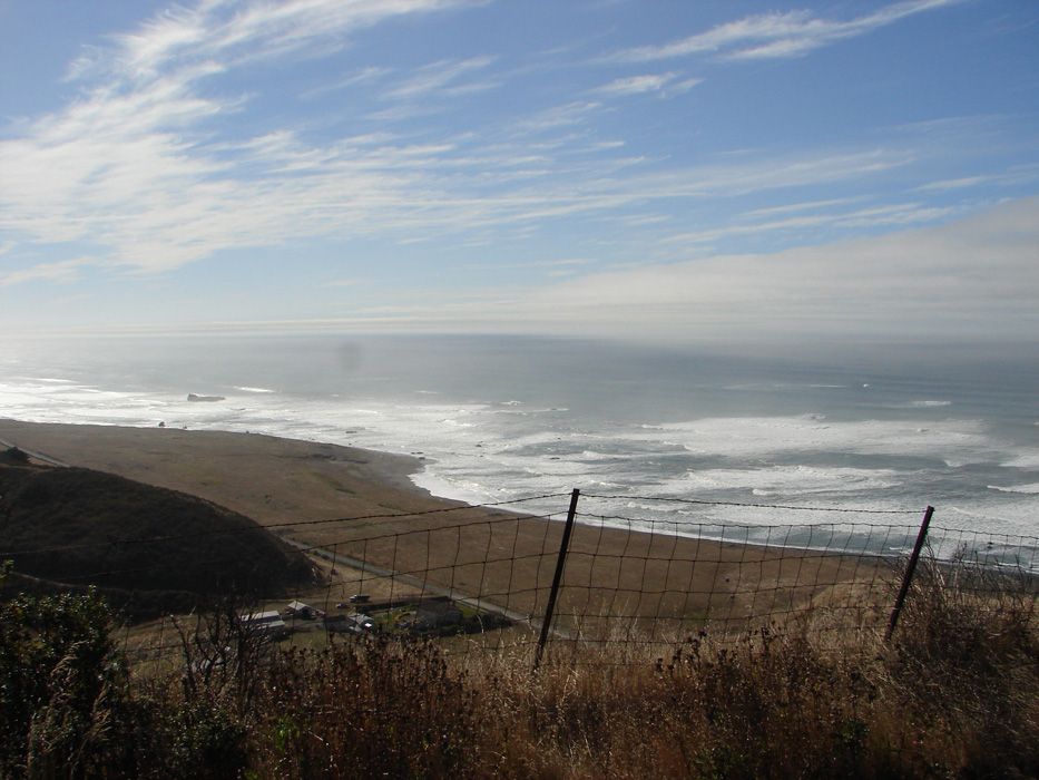
Well, to the South it looked like this:

DSC02016.jpg


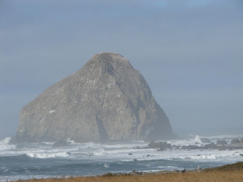
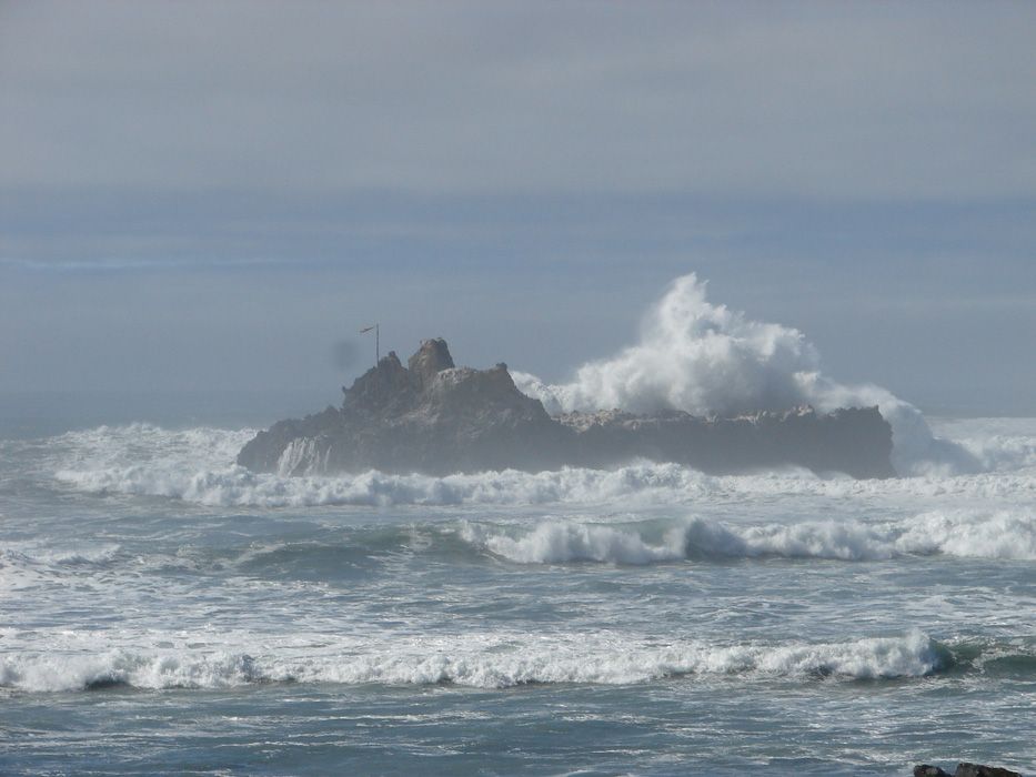
to the West, with some zoom and some timing, it looked like this:

DSC02017.jpg


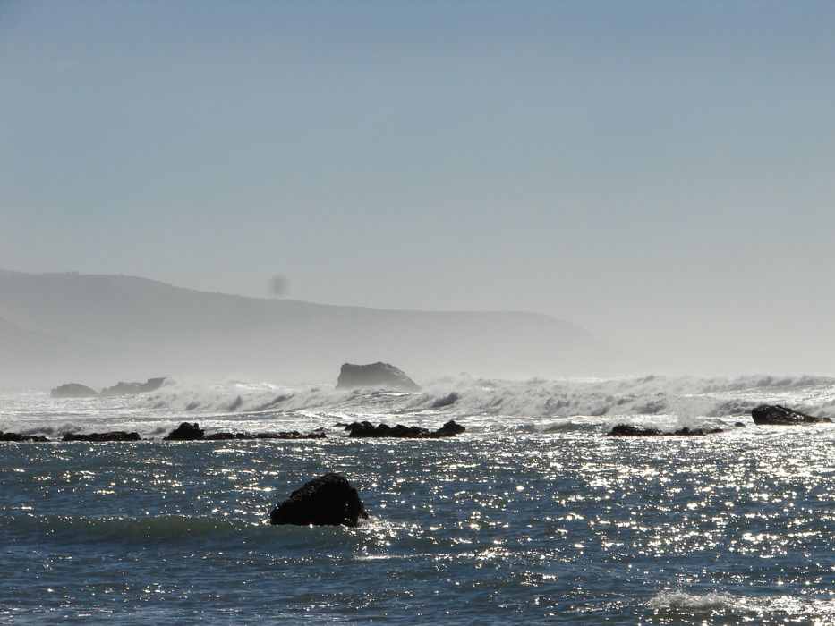
to the North it was like this:

DSC02012.jpg


DSC02021.jpg


DSC02022.jpg


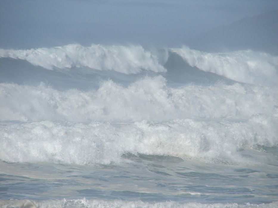
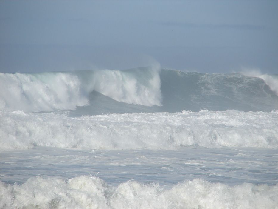
the waves were BIG. I would guess about 15 feet.

 
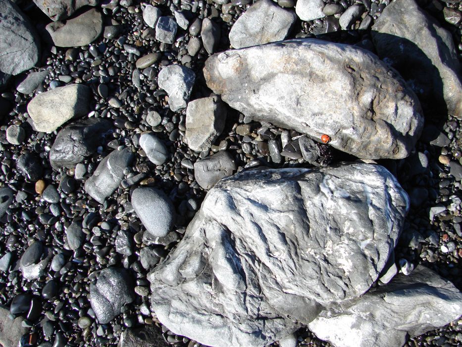
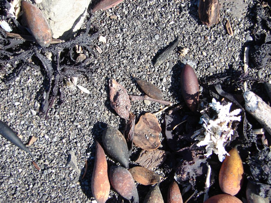
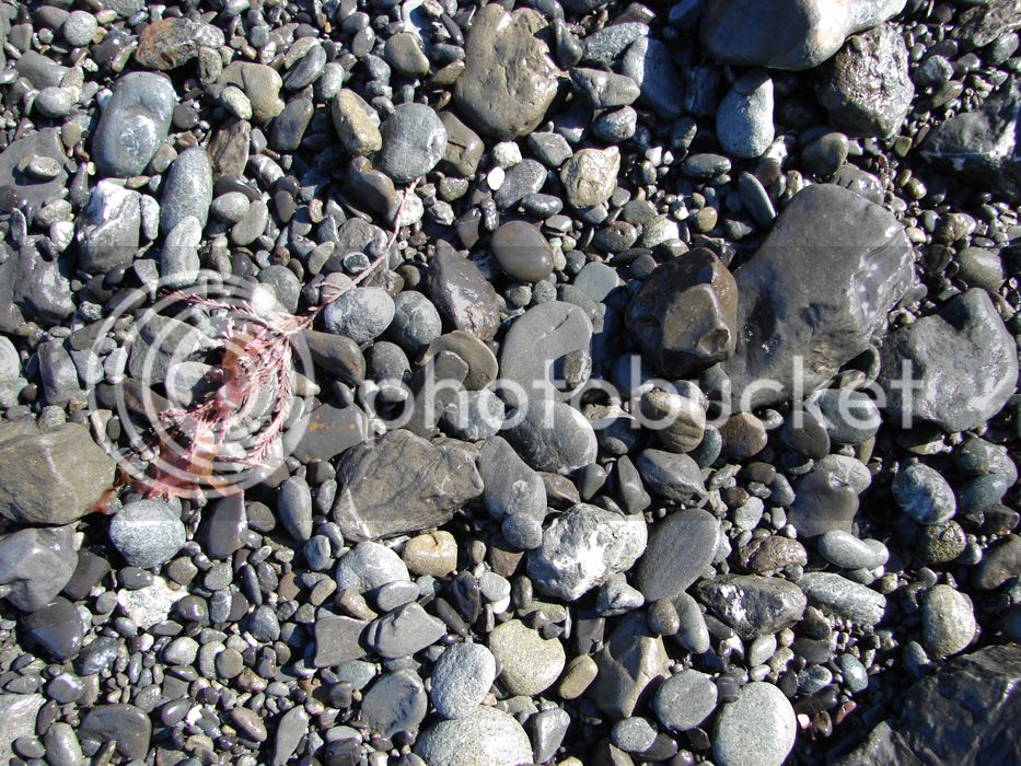
I decided to take pictures of things up close sometimes. In this thread, you have seen a few like this, and I decided to do it because these are things I experience while I'm there. I look at these things and appreciate these scenes. I have to get better at this, but I still like looking at them, I hope you do too.

For a rider down South with a daughter that likes ladybugs, I share this one:

DSC02025.jpg


Kelp pods

DSC02029.jpg


DSC02026.jpg


Then when you've taken in the details, you look up at this and your breath is lost again. People, we live in a beautiful place! It just makes me want to be nice to people.

DSC02034.jpg


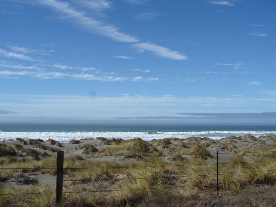
Down the road, there were some nice dunes.

DSC02040.jpg


There are foot trails along the coast here. The fences are for the cows.

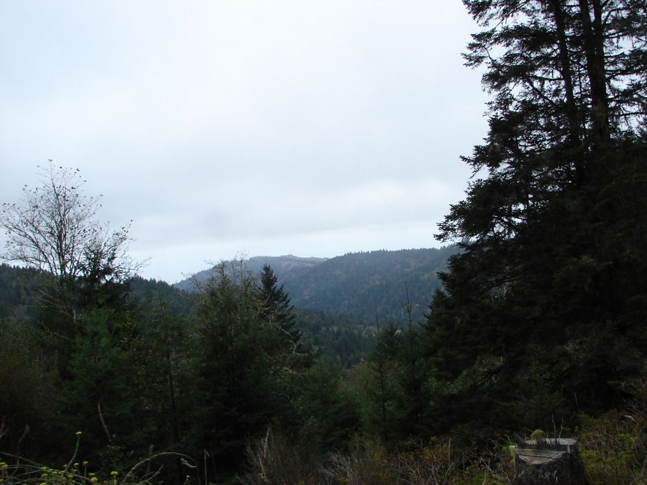
Dunes, hills, sun, clouds, mist, surf...
DSC02038.jpg


I am getting the sense that the ride is entering its second half. I was right. This was about the halfway mark.
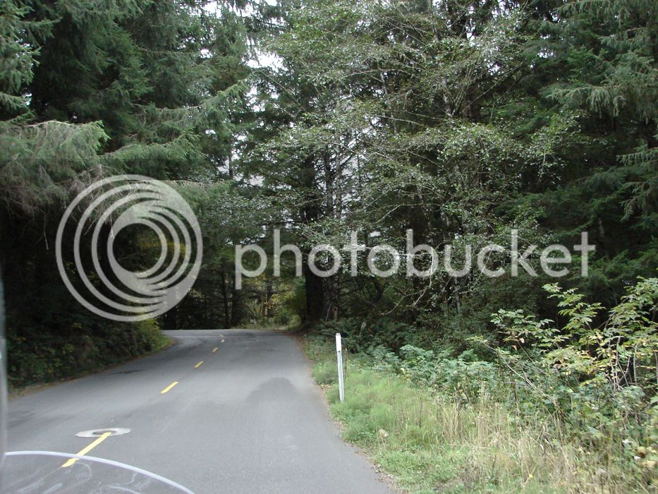
 
Sherri turns and takes this shot. I didn't want to leave either.

DSC02044.jpg


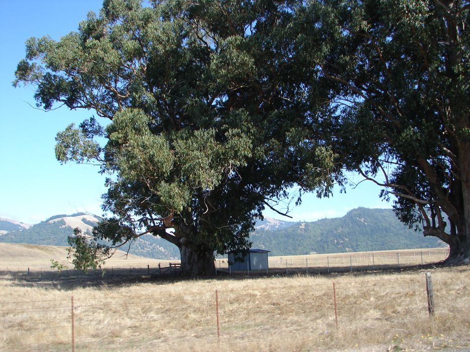
There was more to see. The camera was still getting a workout. What rancher, how long ago, or his kid...or his wife...planted these trees? Whoever it was and however long ago, these trees should speak to us. Would we like the lessons? Hmm....

DSC02048.jpg


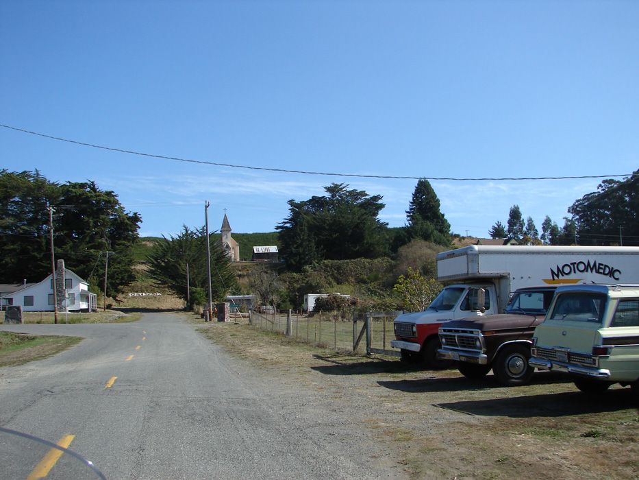
Welcome to Petrolia. As in Petrol. As in Oil. I tried to find history of Petrolia only to find a few blurbs. If anyone is a better researcher than me, please add in! I did learn that Petrolia was one of the first centers of pumping oil in California and I found out this:

F.H. Ottmer - Sonoma County.

Present address, Petrolia, Humboldt County. Taught three years in Sonoma County. Left teaching to study medicine. Graduated from Cooper Medical College, November, 1887. Now practicing medicine in Petrolia. Married November, 1888.

Now??? :D

DSC02056.jpg


We took Lighthouse Road down to the beach

DSC02062.jpg


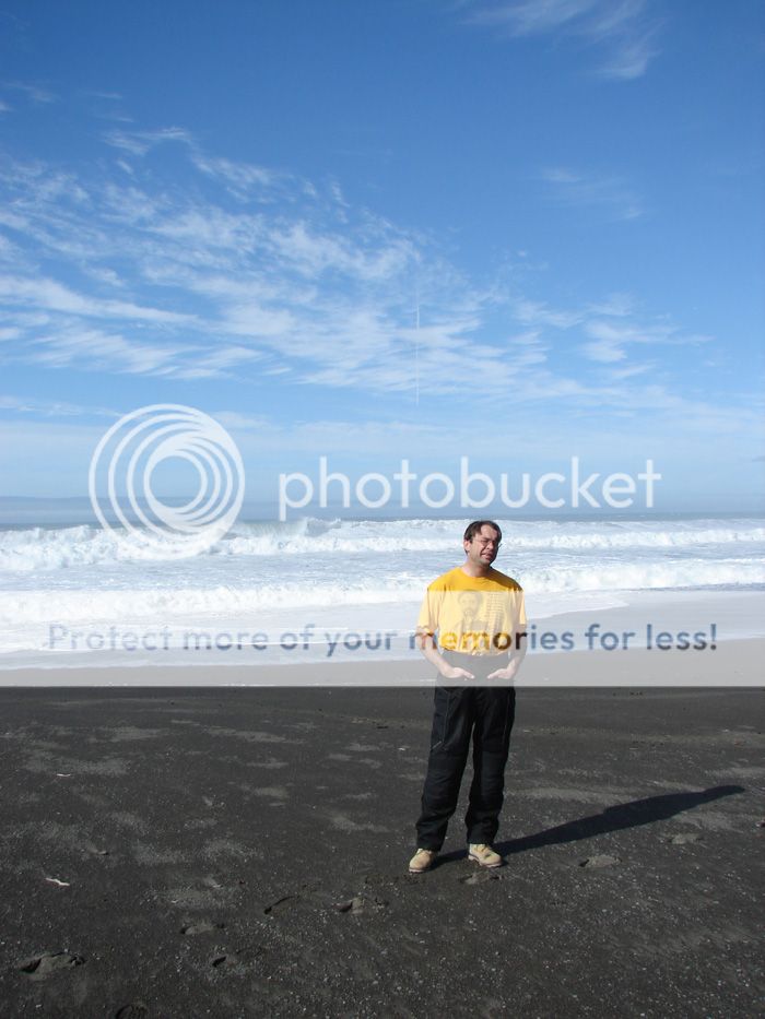
That is Haile Selassie on my shirt :)

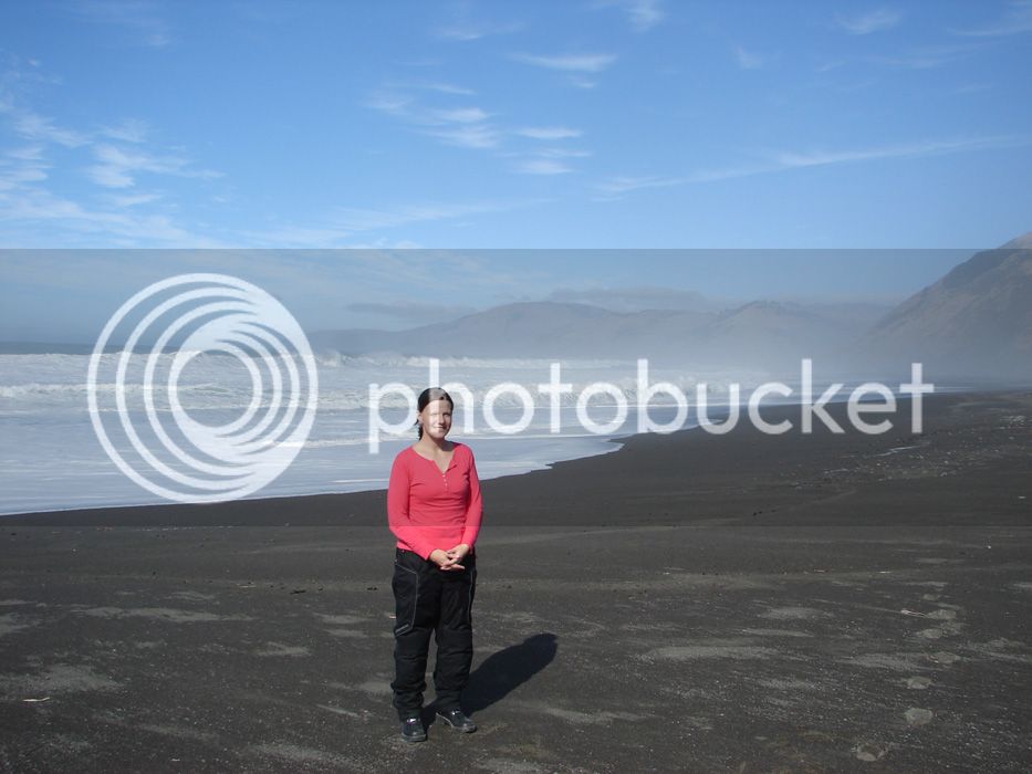
This is my wife, Sherri.

DSC02063.jpg


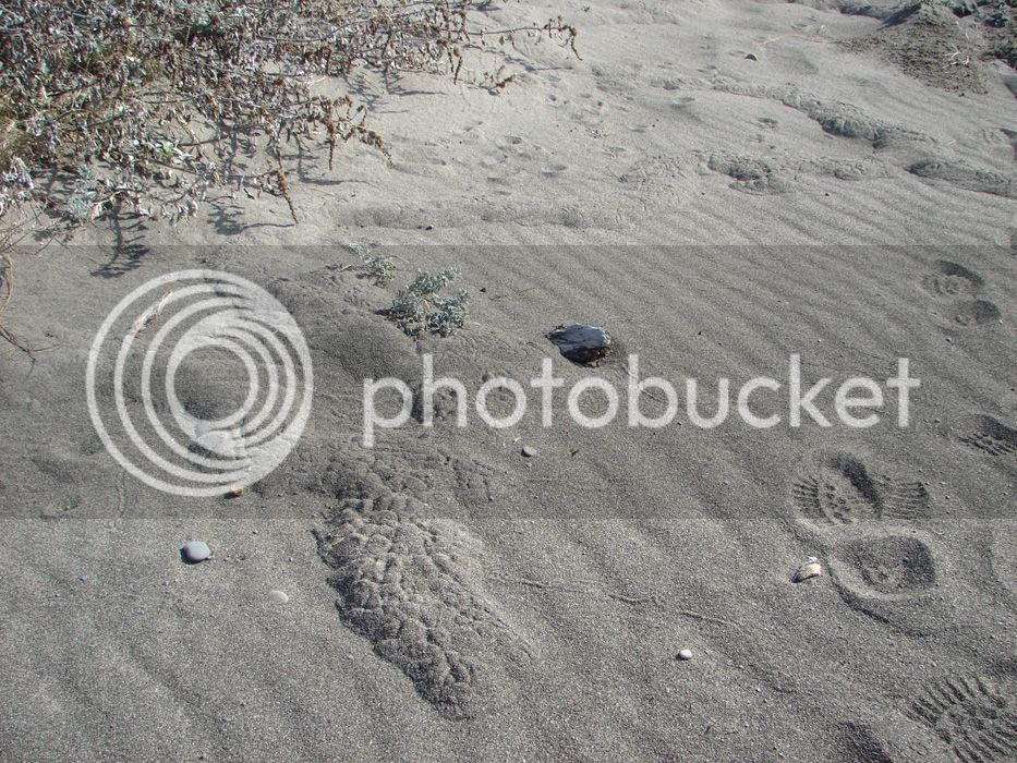
If I grew up here, I'd know what animal made these burrows in the sand...mole?

DSC02070.jpg


I tried to capture the size of waves without a point of reference other than other waves.

DSC02065.jpg


DSC02066.jpg


If they look big, I was accurate ;-)

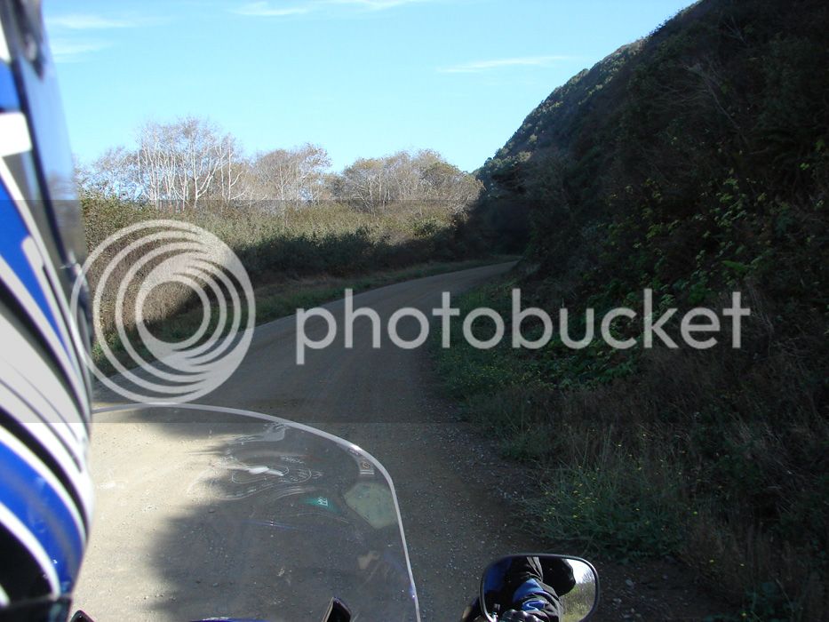
By the way, a good portion of Lighthouse Road was dirt...easy to ride with some washboard.

DSC02071.jpg


now time to get back

 
Last edited by a moderator:
Climbing back to the interior to get to 101 to go home

DSC02076.jpg


"Hey, what's that blue thing?"

DSC02080.jpg


and the last grove before our return home:

DSC02095.jpg


How many tree trunks are taller than an FJR? Quite a few up here!

I hope you liked our ride...we did! Then we went home

DSC02097.jpg


Last edited by a moderator:
I decided to take pictures of things up close sometimes. In this thread, you have seen a few like this, and I decided to do it because these are things I experience while I'm there. I look at these things and appreciate these scenes. I have to get better at this, but I still like looking at them, I hope you do too.
For a rider down South with a daughter that likes ladybugs, I share this one:

DSC02025.jpg


Kelp pods

DSC02029.jpg


DSC02026.jpg


Then when you've taken in the details, you look up at this and your breath is lost again. People, we live in a beautiful place! It just makes me want to be nice to people.

DSC02034.jpg


Down the road, there were some nice dunes.

DSC02040.jpg


There are foot trails along the coast here. The fences are for the cows.

Dunes, hills, sun, clouds, mist, surf...

DSC02038.jpg


I am getting the sense that the ride is entering its second half. I was right. This was about the halfway mark.
Taylor says THANKS!!!

 
Nice ride! What a great "get-away", thanks for posting the pictures. Next time you're going that way, "ping" me and we can discuss optional roads....there are no "bad" ways to go that direction.

 
Last edited by a moderator:
thanks for a great ride report. I ride up hwy. 20 and the coast hwy. 1 often during the spring. It is nice to see another person interapation of the area,landscape,ocean , the roads, the forest It looks even more beautiful than taking it all in as you one rides . Keep up the good work of thaking those pictures

:clap: :clap: :clap: weekend rider

 
Top