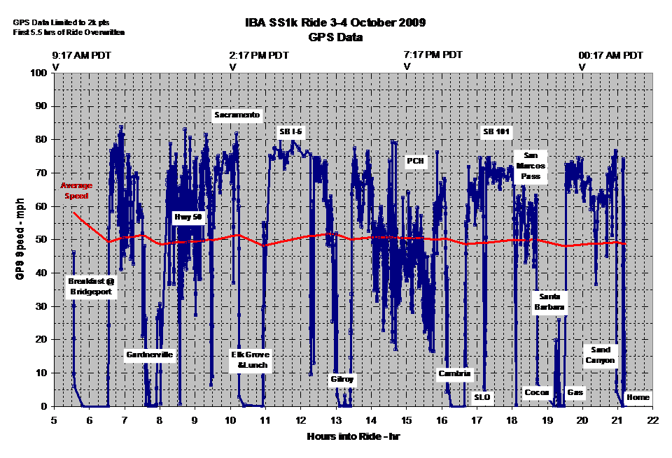
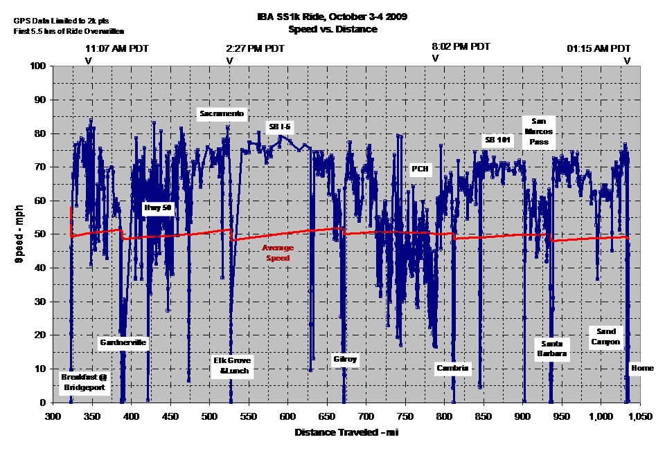
OK, some pix and ride data. Here's some GPS data from my Magellan. My GPS only holds 2k worth of track points. I had it set to DETAILED on the track settings so it filled up and started to overwrite the earlier part of the ride. As a result, the first 5.5 hrs of the ride are not available. Here's the final route we took with fuel stops called out:
Route
Ride speed vs. ride time:
& ride speed vs. distance:
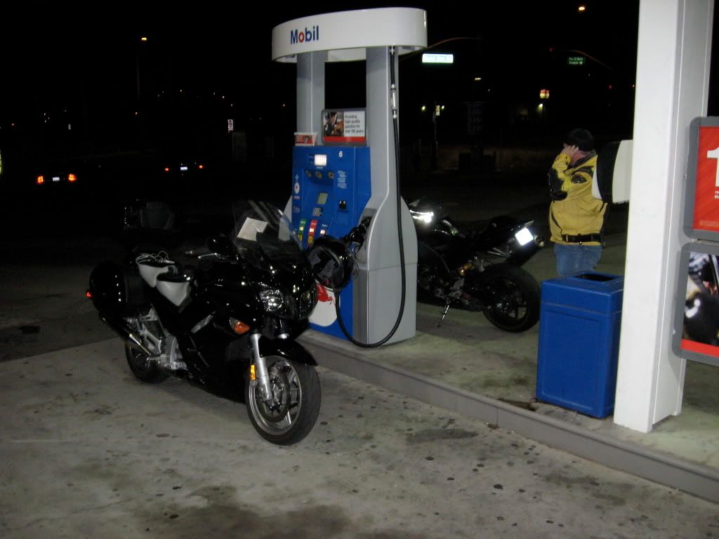
Here are a few pix. The initial gas-up, 0405 hrs, 3 October in Santa Clarita.
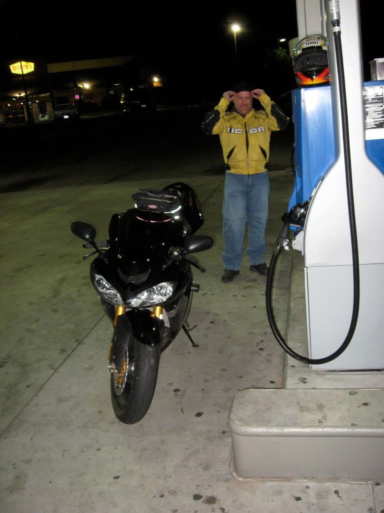
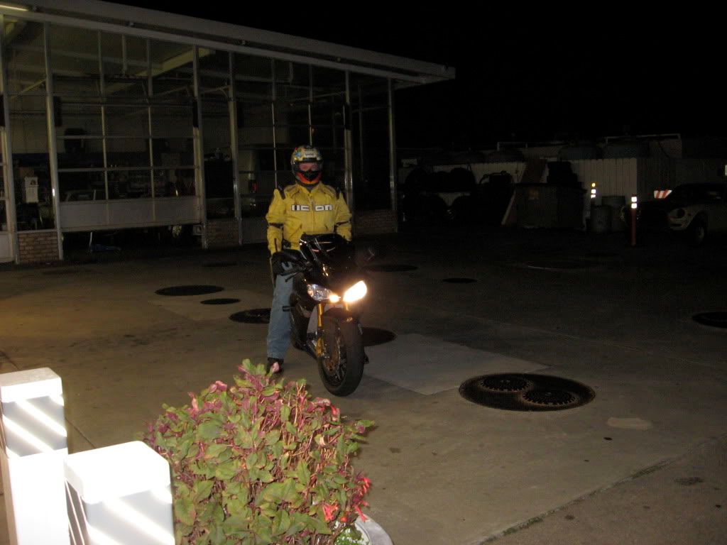
My riding partner. He's on a 2005 Kawi KZ-10R. He wanted more fairing as the day wore on.
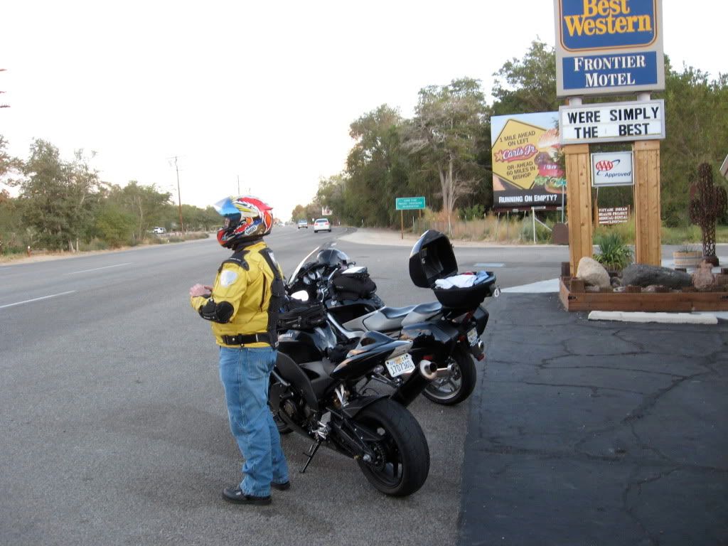
Stopped in Lone Pine soon after sunrise to get some warmer clothes on. Altitude's increasing.
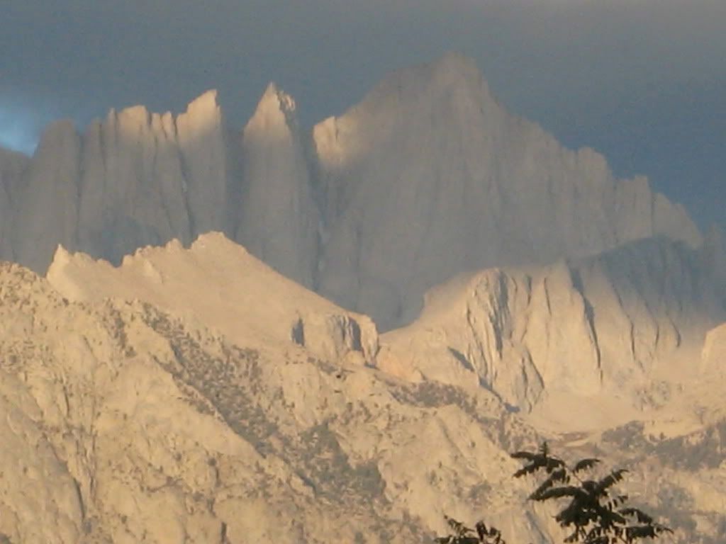
East face of Mt. Whitney at sunrise from Lone Pine. Tallest peak in the continental US at 14,505 ft above sea level.
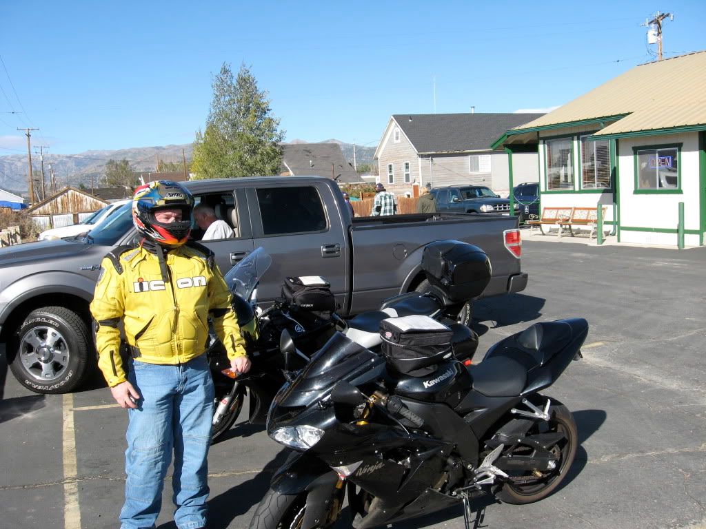
Breakfast at Hays St. Cafe, Bridgeport, CA. (
Clicky)
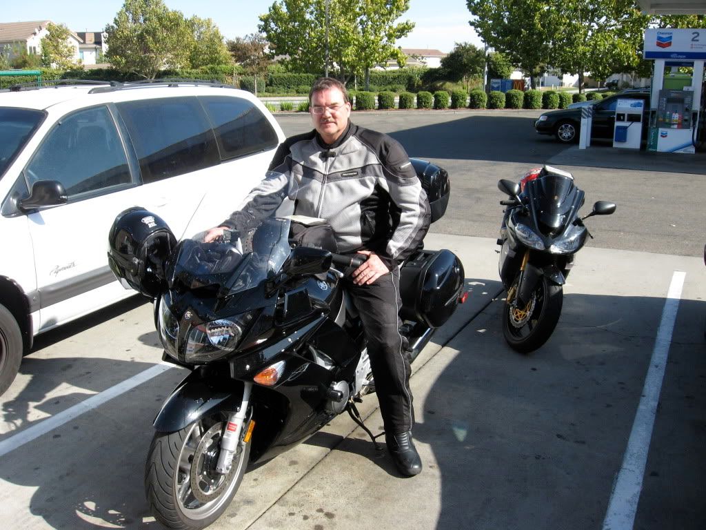
FJR Pilot at lunch stop in Elk Grove, CA
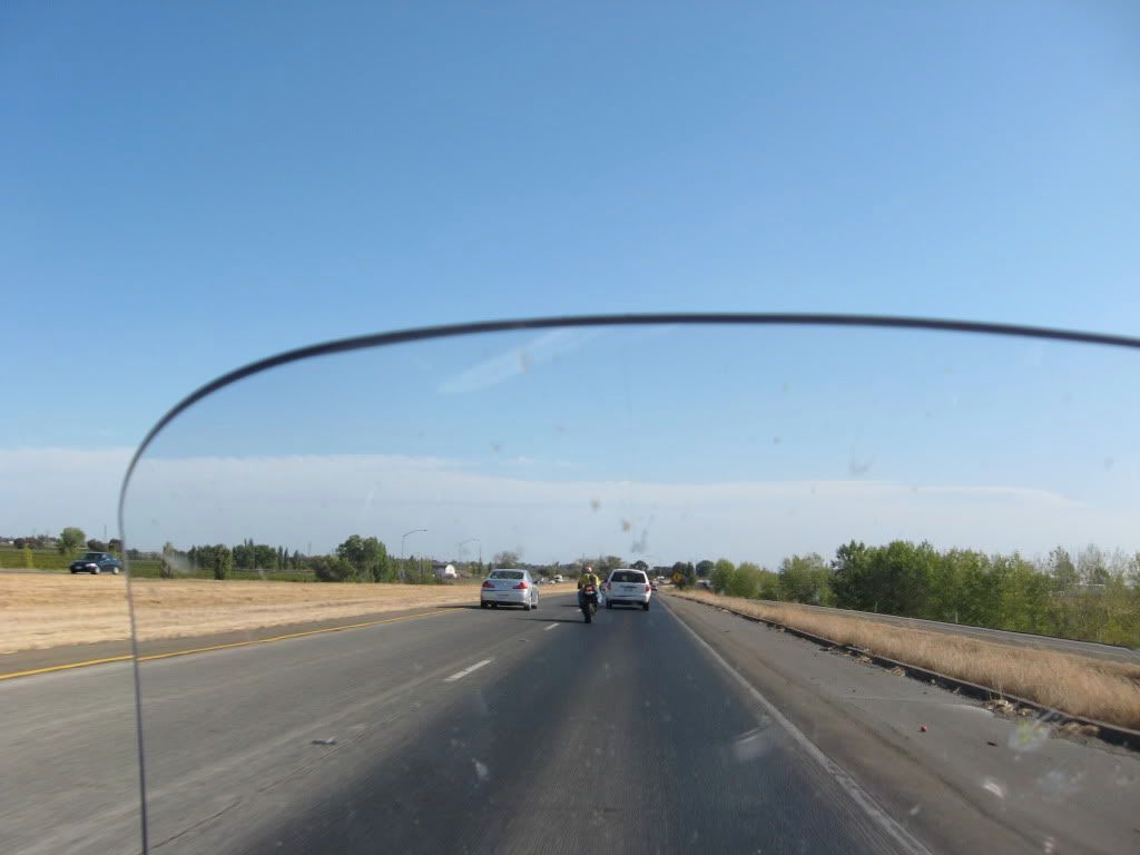
Southbound on I5 heading to Gilroy. This was the most boring stretch of the trip.
Fill up in Cambria after a creep down the PCH coast road behind a cager afraid to exceed 40 mph anywhere (see speed chart above between hours 15 & 16). This was a very frustrating part of the drive. Ride was starting to wear on us and for almost 1/2 hour on a tight, twisty PCH in the dark, we followed a cager unwilling to pull over even though we rode nearly in her trunk on occasion. This was about 8:45 pm...4.5 hours yet to go.
My riding partner was frozen nearly through & through when we finally got back to Santa Clarita. He'd forgoten his cold weather gloves and was wearing my light touring gloves over his sport gloves with little success and his layering system wasn't working too well. Down the coast from Monterey, the temps ranged from the mid fifties along the coast to mid forties inland. I was snug with nothing more than my midweight ploypro & a mesh jacket with liner. That fairing jacked all the way up helped too.
Submitted all my paperwork a week or so ago...now just waiting to hear from the IBA.
Cheers,
W2


