GPS Route for NH Covered Bridges self-tour

Yamaha FJR Motorcycle Forum

Help Support Yamaha FJR Motorcycle Forum:

This site may earn a commission from merchant affiliate links, including eBay, Amazon, and others.

Fred W

1 Wheel Drive
FJR Supporter
Joined
Nov 9, 2006
Messages
17,743
Reaction score
3,929
Location
Eastern VT
Hey folks,

After riding one of the prepared routes at EOM this year, I decided to try and replicate the New Hampshire Covered bridges ride that was organised and led by Nice Rumble last fall at this time. I collected some notes on the ride and was able to download a POI file that had almost all of the bridges in New Hampshire. From that I was able to reconstruct a very close proximity to the NH Covered bridges tour.

This tour is only ~150 miles long, but even the GPS says it will take you 4 1/2 hours (without any stops). If you stop for the scheduled lunch at Diamond Pizza, and at a few bridges for the photo ops, you can easily make a full day ride out of this. The route goes over some state roads, many back roads and even a smattering of well packed dirt road riding just for some adventure.

I just ran the route last Saturday to de-bug it and make sure there were no big surprises. It was quite fun, and the color was beginning to build, so any of the next few weekends should be fabulous.

I am making the route available for download in 2 formats, the files are:

Bridges_1.gpx - Garmin GPX format

and

Bridges_1.gdb - Garmin GDB v3 format

[Edit] Here are some links to a slightly modified version of the above route. In this one I have cut out some of the rougher paved roads and moved some of the VIA points for better GPS flow (so the announcement of via poitns doesn't interfere with turn announcements). This will be the route that we run this year (2008):

2008 NH Bridges Tour.gdb

2008 NH Bridges Tour.gpx

Just right click the above link and save File to your hard drive. Hopefully you will know how to load the files into your GPS already. If anyone needs the route in a different format let me know and I will try and accomodate.

Included in the above files are the POI's I found for the 52 covered bridges in New Hamopshire, so you could build your own Covered Bridges routes if you were so inclined. I'm also going to be building a "Bridges 2" route soon that catches most of the missed bridges up in the northern part of the state, so stay tuned...

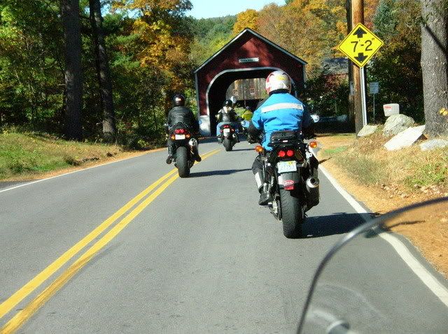
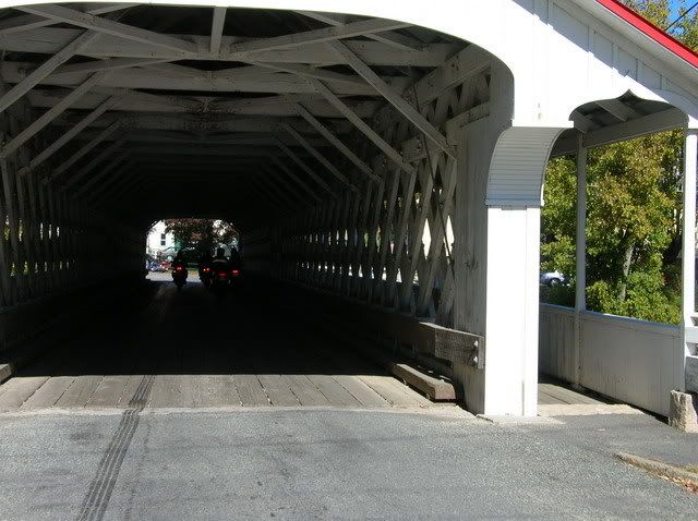
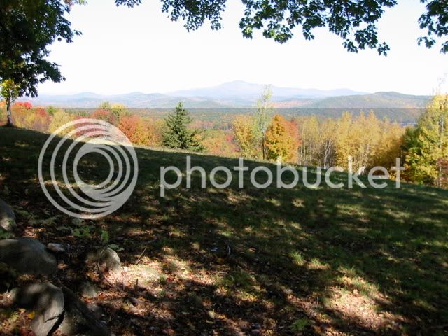
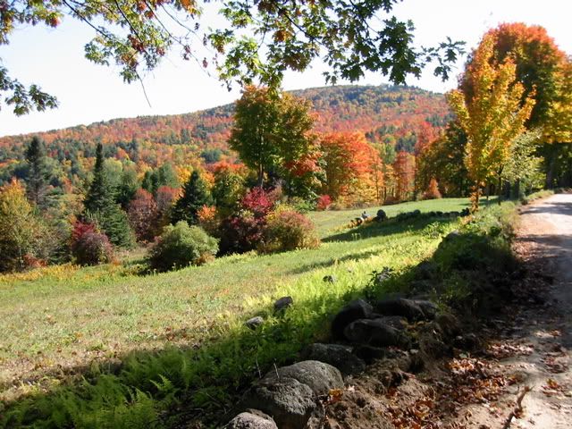
[Edit] Adding some teaser pics from my recon mission. This is what you can expect:

This is where it all starts. The Fiddlehead Inn (Cafe) in lovely Hancock, New Hampshire. (I highly recomend the bacon, egg and cheese sandwich on toast. They make it on home made bread and the slices are slabs. Yumm-O!! Good cuppa Joe here too.

2340211830098858932S600x600Q85.jpg


When you're done foolin' around, head this way down Main Street:

2615047450098858932S600x600Q85.jpg


There's a gas stop programmed into the beginning of the route. If you stop there you're guaranteed to be able to finish with out stopping again (assuming you are riding an FJR. If you're riding anything else, you're on your own).

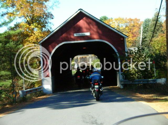
Here's a look at the Carlton Bridge, the 1st on the route:

2534953920098858932S600x600Q85.jpg


2503465540098858932S600x600Q85.jpg


2459453130098858932S600x600Q85.jpg


2730773040098858932S600x600Q85.jpg


2011494320098858932S600x600Q85.jpg


Bridge #6 (time for a rest)

2563321460098858932S600x600Q85.jpg


2094119550098858932S600x600Q85.jpg


2107599580098858932S600x600Q85.jpg


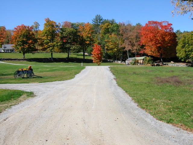
Onward toward the north... Pavement? Pavement? We don' need no steenking pavement!!

2917854160098858932S600x600Q85.jpg


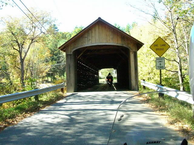
Here' one of the few "Drive By's" on the route. Mostly they are Drive Throughs...

2215764030098858932S600x600Q85.jpg


2416339130098858932S600x600Q85.jpg


2516376960098858932S600x600Q85.jpg


2748209490098858932S600x600Q85.jpg


And, the finale... The last bridge:

2221799300098858932S600x600Q85.jpg


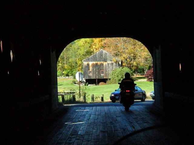
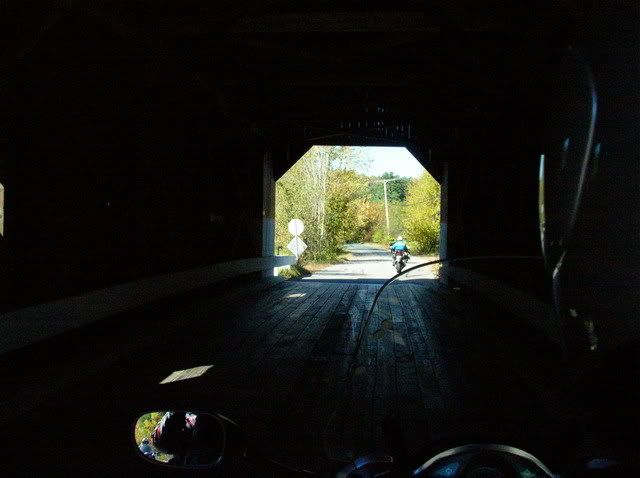
So here's the deal. You'll drive through or past 12 covered bridges in ~140 miles of back-roads, side-roads and a few dirt-roads (no highways!!) There's even a lunch stop programmed at Diamond Pizza in Walpole, NH. I recommend the Toasted Meatball Parmesan Grinder (sub sam'wich for you non-native New Englanders). You could cover this route in as little as 3.5 to 4 hours if you wanted to hump it. I'd take my time, take some pictures, look around, enjoy the foliage, if I was you. Cause that is exactly what I did...

Enjoy!!

 
Last edited by a moderator:
This tour is only ~150 miles long, but even the GPS says it will take you 4 1/2 hours (without any stops). If you stop for the scheduled lunch at Diamond Pizza, and at a few bridges for the photo ops, you can easily make a full day ride out of this.
Thanks for putting in the effort. Greatly appreciated!

 
Fred,
Great work. Leaves are almost past peak but are you riding again in another weekend or so?
Not past peak here as far as I can tell.

I was hoping we would be able to resurect the Rumble ramble, but the clock is ticking faster than I expected this fall.

I'll likely ride this Sunday on a new Mid-NH route that bags another 12-15 bridges and get that documented. Eventually, I'd also like to et a Northern NH route made up so that someone could spend 3 days in the state, ride 3 nice days, and bag all 52 covered bridges in the state.

Get out and ride New Englanders. These next few days may be the best this year!!!

 
Last edited by a moderator:
Fred, this is just super cool of you to do. I can't wait to try one of your rides. I've got to figure out if my relatively meager Garmin Nuvi will load these maps. And get a Powerlet. And go ride.

Thanks for the generous work.

 
Fred-thanks for picking up where I left off. If anyone is interested, there is an organized "Bridges" ride tomorrow morning. The same ride I hosted last year at this time.
See this thread: https://www.nestreetriders.com/forum/rides-...uchet-ride.html
No problem, Skip. I'm really glad to see that you'll be popping in here still, now and again. Did you by any chance take a look at my route? I'd be curious where I strayed from your "mental GPS" route. (For those unaware, Skip used to just lead this ride from memory).

I know that I got off Rte 123A early and bypassed the ride up Rte10 through Lempster in favor of some nice backroads and hardpack. But I think I hit the same dozen bridges as we did last year. Any feedback would be great.

Also, if anyone has any suggestions toward improvements, feel free to post them or PM me and I will try to incorporate them. We may want to change some of the route as the roads conditions change. For instance, the lower section of Rte 137 from Rte 101 down to Jaffrey is brutally pock marked with frost heaves and in serious need of repavement. I'd rather be riding on some good hardpack dirt than that crap.

BTW - It looks like that NESR ride will actually be next weekend, on Sunday the 19th, the same as our originally scheduled ride.

 
Fred,

Nice job on the route. I will save it in my collection of GPS routes. Thanks for your effort.

I'm doing a 337 mile Catskill mtn. route I put together tommorrow with two friends from work. If it all works out I will post it for anyone interested.

I have plans on both weekends of 10-19 & 10-26 so maybe next time.

Ride Safe,

Art

 
Fred, I went to their website for the first time. Looks like mostly sport bikes? What do you think the ride would be like next weekend as the course sounds fun, but I won't try to keep up with Ninja Nate and Haya Harry!?

Sullivan

 
Fred, I went to their website for the first time. Looks like mostly sport bikes? What do you think the ride would be like next weekend as the course sounds fun, but I won't try to keep up with Ninja Nate and Haya Harry!?
Sullivan
I have never ridden with that group, but I'm with you. and do not attempt to play boy racer with the squids. Most of the roads in this area are the typical New England back roads, crappy surface, tight blind corners with many intersections. Not conducive to high speed shenanigans, IMO.

I guess you could always join the ride mid-pack and then fall back or drop out if the pace is too fast. That is what I would do.

 
Fred, I went to their website for the first time. Looks like mostly sport bikes? What do you think the ride would be like next weekend as the course sounds fun, but I won't try to keep up with Ninja Nate and Haya Harry!?
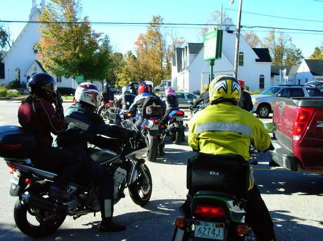
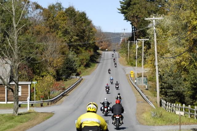
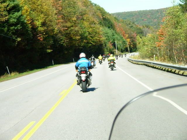
This ride is mostly sport bikes and there is a high Duc content. They put on a good ride, the pace is swift, well organized and disciplined. The rides I've been on don't stop for pictures. They do traffic control to keep the group together. FWIW, the first ride I had to sign a 'release of responsibility' to absolve the ride organizers of any responsibility should the unthinkable happen during the ride :glare:

DSCN3609_resize.jpg


_DSC1000_resize.jpg


DSCN3719_resize.jpg


DSCN3738_resize.jpg


DSCN3739_resize.jpg


DSCN3740_resize.jpg


DSCN3730_resize.jpg


DSCN3778_resize.jpg


DSCN3818_resize.jpg


Last edited by a moderator:
Just a quick follow-up note here. I had mentioned above that I would be attempting to string some additional NH covered bridges into another ride route, a bit further to the North of the traditional one that Rumble made famous.

Well, I slapped together a series of the bridges in that geography into a route and headed out today with wife Joann on the back to check some of them out. I'm here to tell ya', it ain't gonna be quite as easy as I ***-u-me(d). I physically searched for (just) the first 6 bridges in my route (which I had tentatively built with 18 bridges), and of those 6 none were worthy of a "bridge tour".

To explain, the bridge should allow the ride to proceed through the bridge, and ideally should loop around to the next one without backtracking. Even backtracking isn't so bad, as long as you can go through the bridge. None of the six could even be ridden through and I could not even find one of them, as it was somewhere off in the woods on a walking trail.

So, it appears that I am going to have to do a lot more reconnaissance than I estimated before I will be able to string together a ride like the traditional one.

However, I'm taking this as my own personal challenge and will scout out and route as many as I can find. This may take a while, unless someone already has some detailed data about the NH Covered bridges that would assist me. I'd like there to eventually be three complete bridges loops. The southern one we all know and love. One in the central New Hampshire, and one that loops through the north country. It will be much harder top scout those bridges as it will take several hours just to get up there to begin the search.

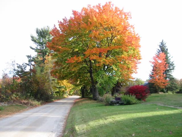
As a side note. After the 6th disappointment, I turned off the GPS route and picked a back road that looked promising to get me back in the general direction of Mi Casa. Completely by serendipity, it turned out to be a long, glorious hardpacked dirt road through the mioddle of some flaming red and orange sugar maples and quaint farmsteads. Eventually the road ran up to and through a covered bridge that wasn't even on my saved list of 52 bridge waypoints! Of course I pulled over and saved its location for future reference.

PS - anyone that did not ride today really missed out. One of the absolute BEST riding days of this year (so far). Crisp and cool, turning to a high of low 70's after noon. The color in the middle of the state was fabulous, especially in the afternoon sun.

 
Last edited by a moderator:
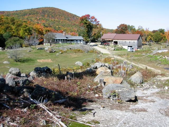
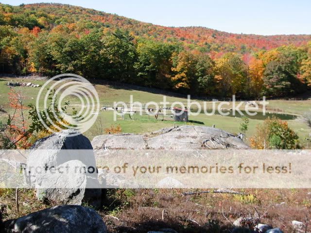
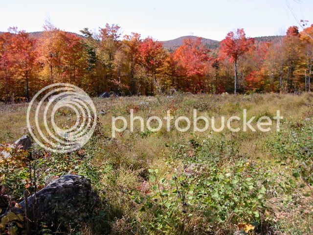
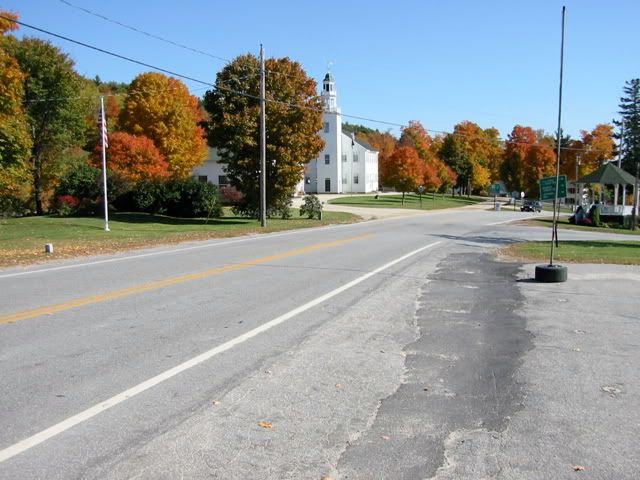
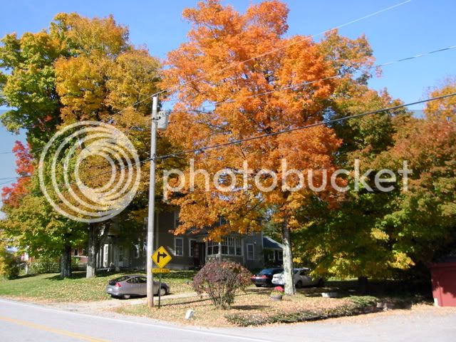
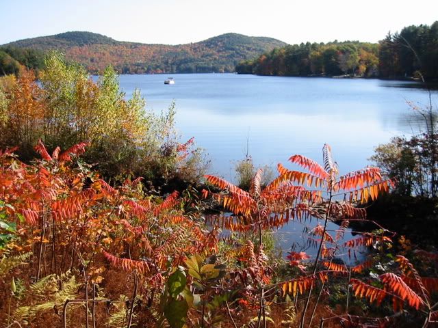
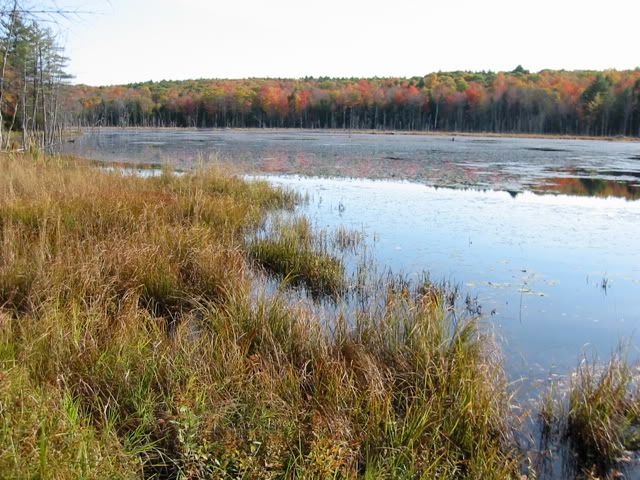
I made sure I got out on two wheels and took advantage of this incredible string of fantastic weather and color. It's a good reminder of why I choose to live in New England. It doesn't get any better than today.

IMG_3253.jpg


IMG_3263.jpg


IMG_3264.jpg


IMG_3265.jpg


IMG_3266.jpg


IMG_3267.jpg


Village of Washington, NH

IMG_3271.jpg


IMG_3272.jpg


Franklin Pierce Lake

IMG_3274.jpg


IMG_3278.jpg


IMG_3279.jpg


Hey folks,
After riding one of the prepared routes at EOM this year, I decided to try and replicate the New Hampshire Covered bridges ride that was organised and led by Nice Rumble last fall at this time. I collected some notes on the ride and was able to download a POI file that had almost all of the bridges in New Hampshire. From that I was able to reconstruct a very close proximity to the NH Covered bridges tour.

This tour is only ~150 miles long, but even the GPS says it will take you 4 1/2 hours (without any stops). If you stop for the scheduled lunch at Diamond Pizza, and at a few bridges for the photo ops, you can easily make a full day ride out of this. The route goes over some state roads, many back roads and even a smattering of well packed dirt road riding just for some adventure.

I just ran the route last Saturday to de-bug it and make sure there were no big surprises. It was quite fun, and the color was beginning to build, so any of the next few weekends should be fabulous.

I am making the route available for download in 2 formats, the files are:

Bridges_1.gpx - Garmin GPX format

and

Bridges_1.gdb - Garmin GDB v3 format

Just right click the above link and save File to your hard drive. Hopefully you will know how to load the files into your GPS already. If anyone needs the route in a different format let me know and I will try and accomodate.

Included in the above files are the POI's I found for the 52 covered bridges in New Hamopshire, so you could build your own Covered Bridges routes if you were so inclined. I'm also going to be building a "Bridges 2" route soon that catches most of the missed bridges up in the northern part of the state, so stay tuned...

==========

Added this to map route link............

B

 
I made sure I got out on two wheels and took advantage of this incredible string of fantastic weather and color. It's a good reminder of why I choose to live in New England. It doesn't get any better than today.

Yeah, man!! That's what I'm talkin' about.

Very nice pics... I recognize many of those locations. And the ones I don't look a lot like what I was looking at today myself. ;)

 
Note: I edited the 1st post with a bunch of teaser pics of the bridges and some of the ride. Don't worry, I didn't get them all, and there's a lot to see between the bridges too... ;)

 
Last edited by a moderator:
Nice Job Fred!

I downloaded the files for future use.

It was a beautiful weekend. Jim and I were riding by ourselves doing the Catskills and Adirondacks again. We were going to head to the coast, but decided to stay local instead.

Your pictures are great.

Thanks....

 
Here is the GPS file from my "Covered Bridges of Southwestern NH " ride that we did a year ago out of Hancock, NH.

I'm unable to attach the file into this post. Fred- send me an email and I'll get it to you then you can post it.

[email protected]

 
Last edited by a moderator:
Top