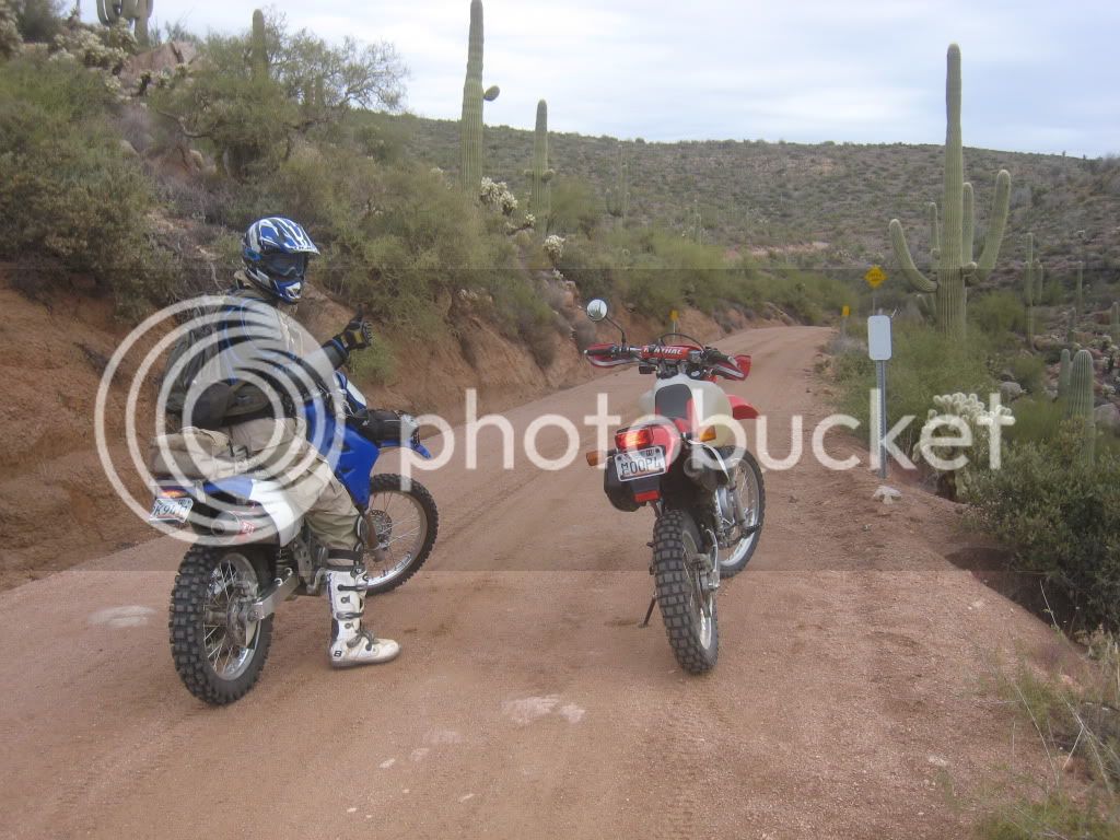
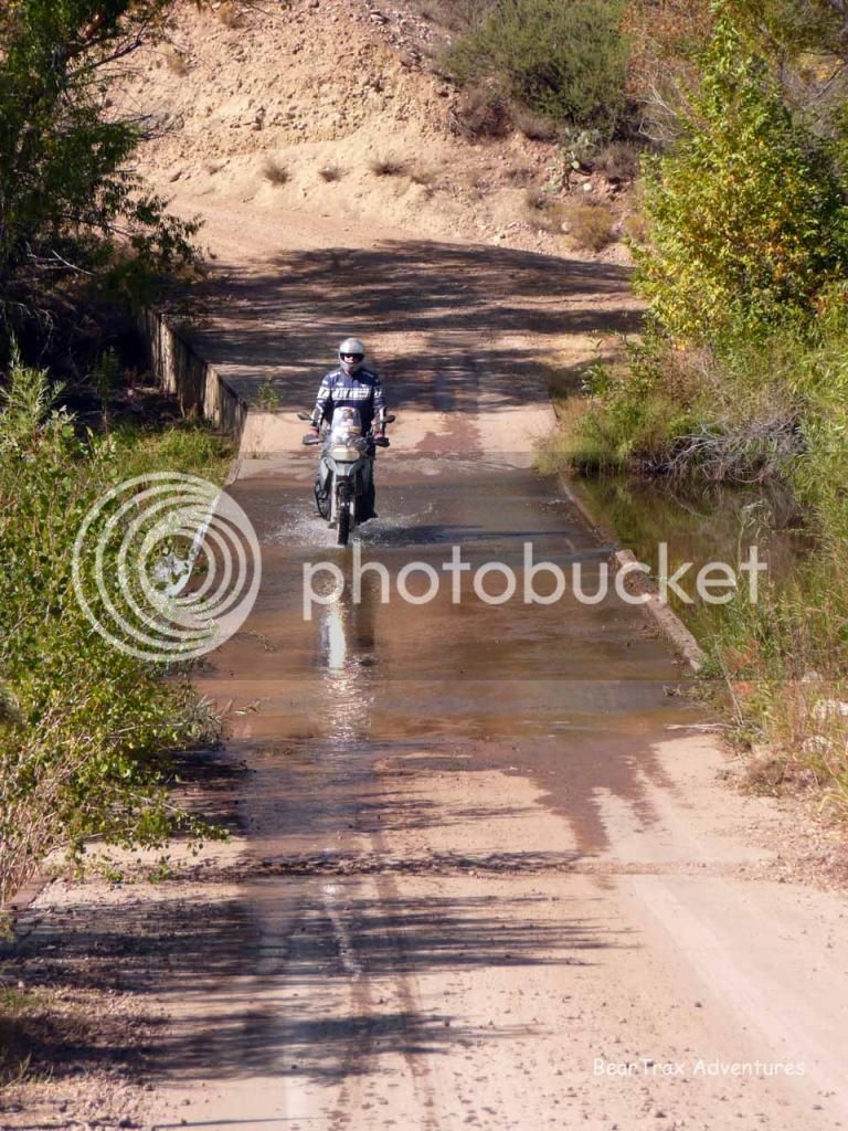
Pick a Sunday in October to ride Cherry Creek Road!

Yamaha FJR Motorcycle Forum

Help Support Yamaha FJR Motorcycle Forum:

This site may earn a commission from merchant affiliate links, including eBay, Amazon, and others.

beemerdons

Certifiable Old Fart
Joined
Jan 7, 2007
Messages
15,538
Reaction score
1,723
Location
Chandler, Arizona
My Good AZ Beemers Buddy Steve - azredline put up this great off road ride report with outstanding pictures up at www.azbeemers Who wants to ride this along with Papa Chuy?? Let me know which Sunday in October that you want to ride Cherry Creek!!

A few pics of our ride today. About 300mi, much of it off pavement.

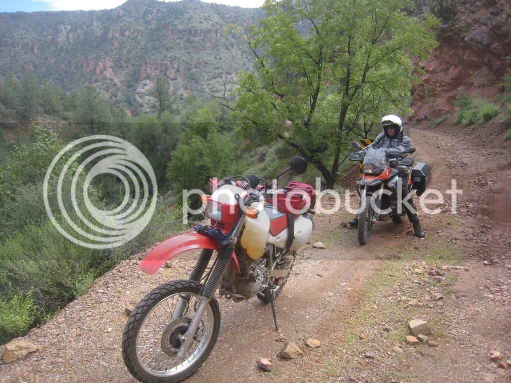
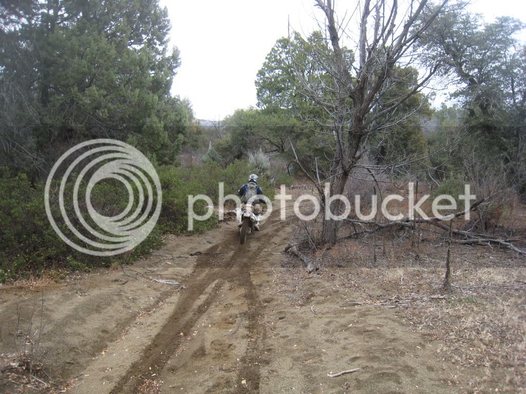
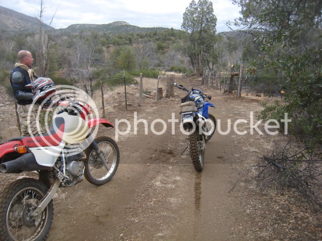
PatD and myself went up to scout FR203, Cherry Creek Road, to see if it was big bike friendly. The answer is, well, sort of...

I've done this route several times, but always with riders on smaller bikes. The road parallels the Young Hwy and skirts the east side of the Sierra Ancha Wilderness. It was pretty rocky in spots, but nothing crazy. I think a big bike rider with good skills could handle this fairly well. Here are a few pics:

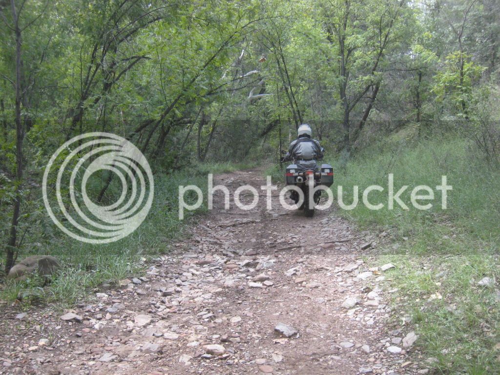
PatD rolls under the canopy as we climb toward Young, AZ.
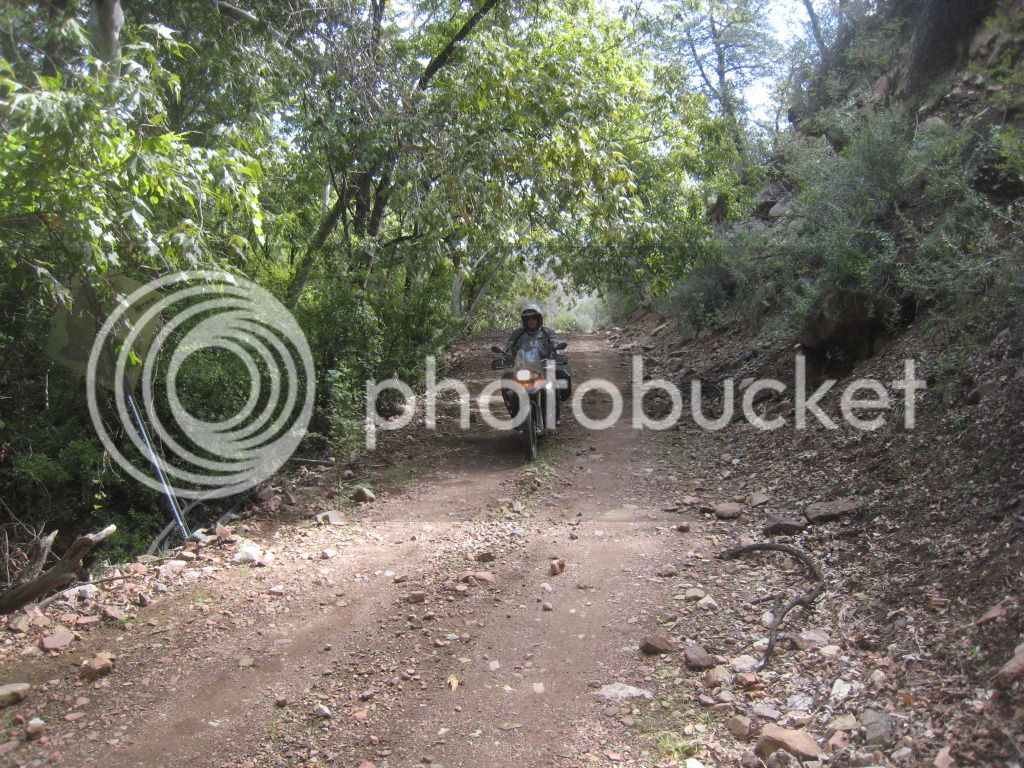
FR203CherryRd090912002.jpg


Lots of greenery, but surprisingly not much water running. I think there was more last time I was here in June.
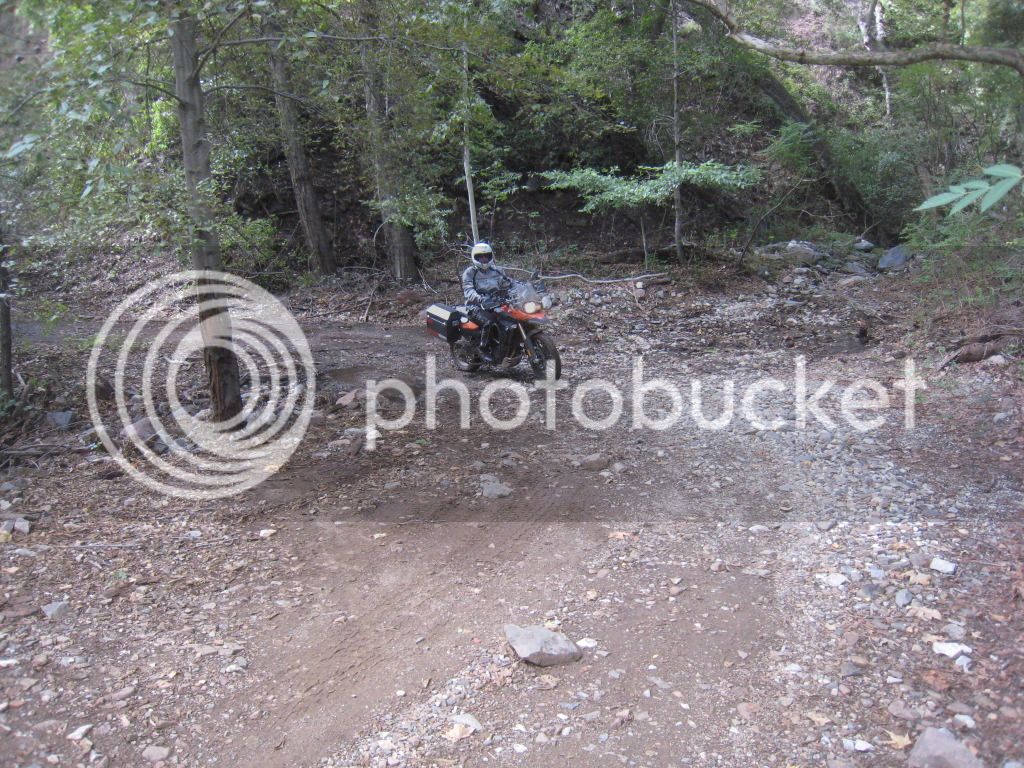
FR203CherryRd090912003.jpg


All the recent rains have washed out a few spots
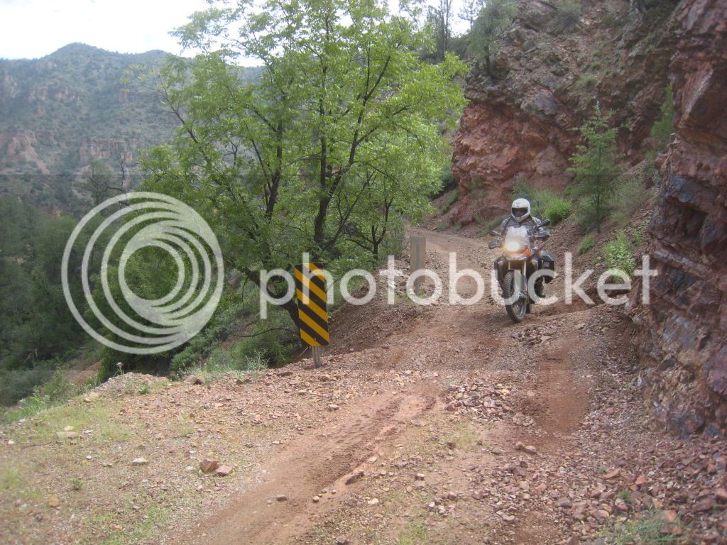
FR203CherryRd090912006.jpg


FR203CherryRd090912009.jpg


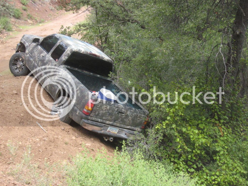
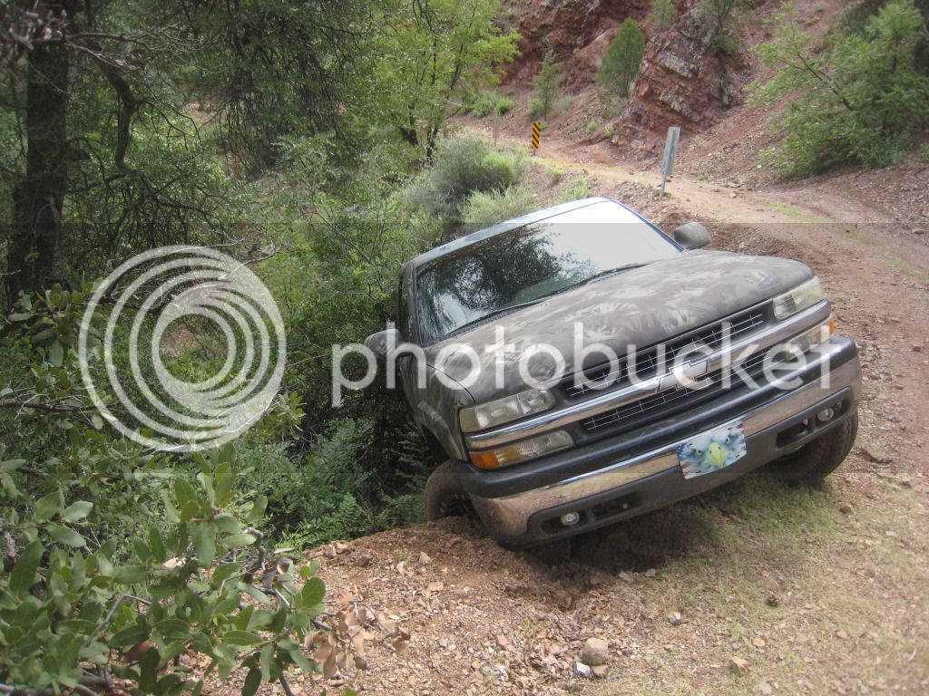
As this unfortunate truck driver learned the hard way, it is a long walk out. He was about 11 miles from the Young Hwy in a pretty rough area. Not going to be fun getting this one out. (We almost didn't see it due to the camo paint... :D )

FR203CherryRd090912008.jpg


FR203CherryRd090912010.jpg


We noticed one of his front tow hooks was already snapped off. The pics don't show how far down the bottom was below him, but he was very lucky it stopped here.

Farther up the road is a side spur I'd explored before.
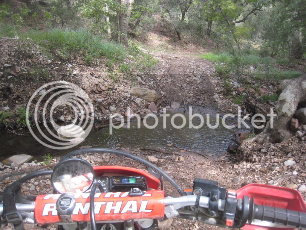
FR203CherryRd090912015.jpg


There is a cabin down there that is one of these "Pack it in, Pack it out" use what you need, stay when you want places. I think it is owned by one of the nearby ranches according to some guys we met there on another trip. This trip it was unoccupied, so we went in and checked it out. I guess it is first come, first served as far as staying there goes. Here's Pat jimmying the lock...not really, the door is wide open.
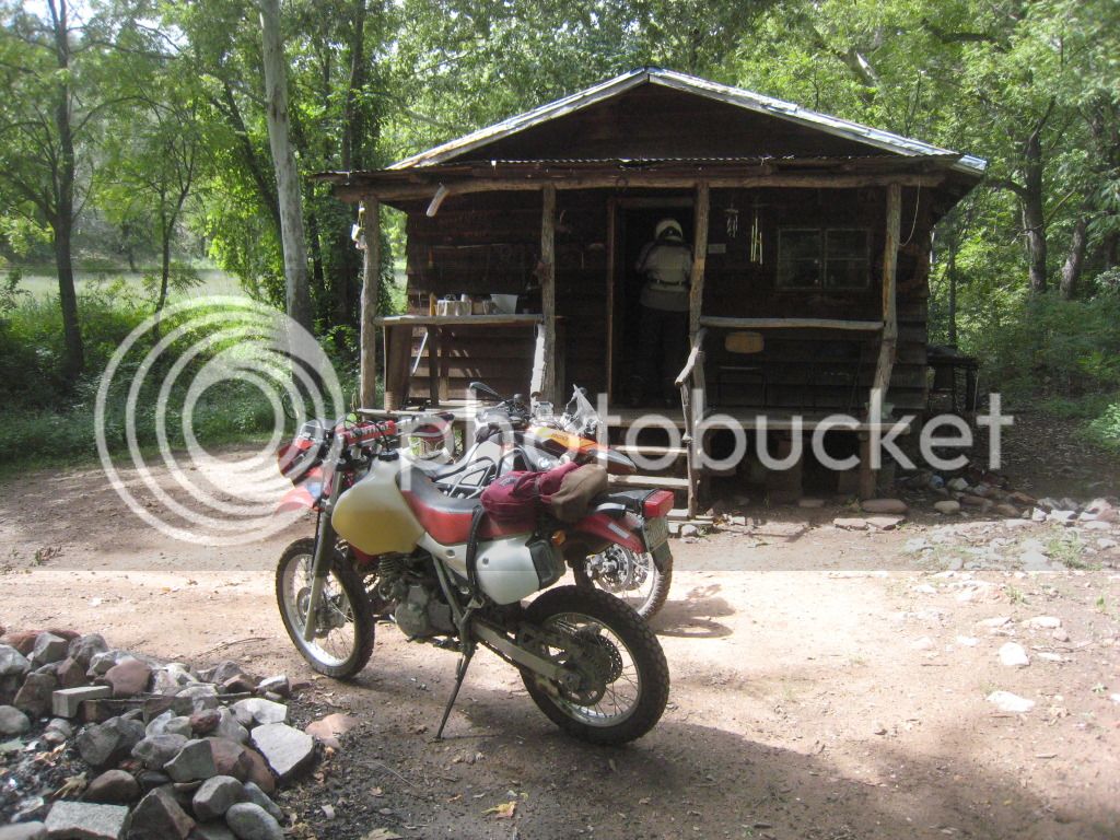
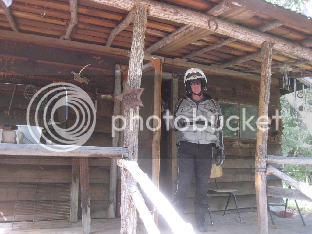
FR203CherryRd090912011.jpg


FR203CherryRd090912012.jpg


The luxurious interior. They have a guest log for you to sign if you wish to stay.
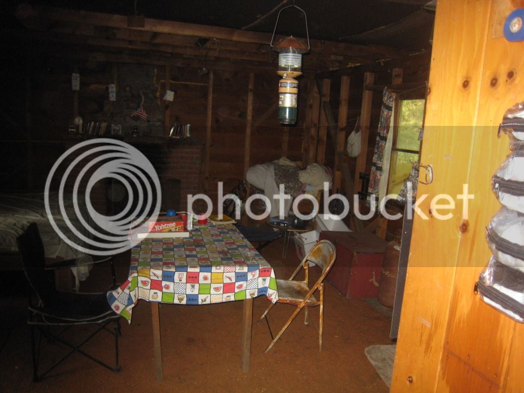
FR203CherryRd090912013.jpg


The road into and away from the cabin. PatD and the 800GS enjoying the cool temps!
FR203CherryRd090912016.jpg


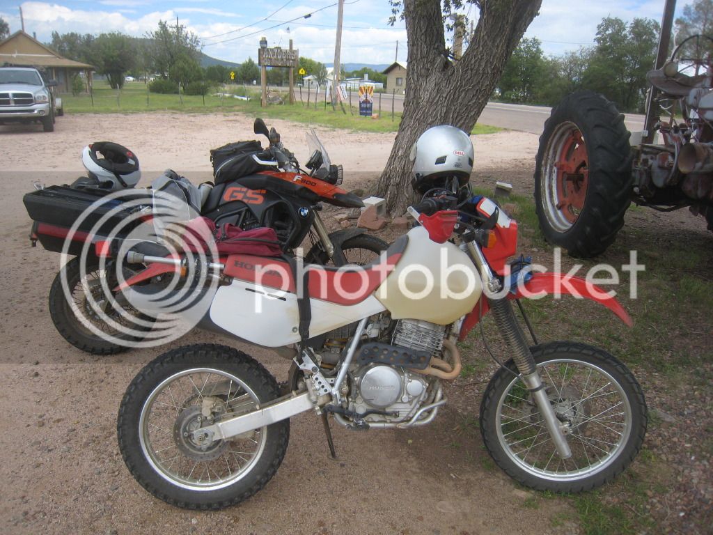
Lunch was at the Antlers in Young

FR203CherryRd090912017.jpg


From there, we cruised down thru the Haggler Creek area, and on into Payson. Then took the dirt road from west of the airport down to Rye and home. Sorry, got sick of taking pics by this time!

For a big GS, there were a few rocky sections that could be a handful, but otherwise should be ok. Just allow plenty of time and don't go alone as it is a long walk out!
 
Last edited by a moderator:
I could do the 14th or the 28th....I finally have a skid plate on the ST, tested it out on 7 Springs/Bloody Basin a couple weeks back.

 
Would like to give it a try, anytime is fine looks like mucho fun. Question, where do you intend to launch from ??

I just bought an '02 DL1000, skid plate, rad. guard & engine guards added last week & putting K60's on it tomorrow.

Should work.

 
Thanks for your interest radiummadman and AVGeek, I am very glad to see that we have manly man dirt bike riders here on our fine FJR Forum; not just a pack of big street *******, WORD!

I also have this posted over at AZ Beemers, I get back from Oregon in a week and will give a definite date, kickstands up time and an exact departure point on 9/22!

 
Last edited by a moderator:
Thanks for your interest radiummadman and AVGeek, I am very glad to see that we have manly man dirt bike riders here on our fine FJR Forum; not just a pack of big street *******, WORD!

I also have this posted over at AZ Beemers, I get back from Oregon in a week and will give a definite date, kickstands up time and an exact departure point on 9/22!
Guys, I now know the date for the Cherry Creek Road Ride Adventure: Sunday, October 28; my 64th Birthday, a great way to celebrate another passing year!

Still working on kickstands up time and the exact departure point, I also hope to have paper maps of the routing produced for your use. See you on 10/28!

 
Sounds good Don. I'll have a marked up copy of the Tonto Nat Forest map showing the route.

If you don't have a copy of that map, I recommend getting one as it is a great resource for forest service roads etc. I got mine at Wide World of Maps https://www.maps4u.com

The Prescott Nat Forest map is also a good one to have.

Sorry, I have no GPS tracks.
 
https://advrider.com/forums/showthread.php?t=646026 Another Cherry Creek Ride Report from AZ Beemers Club Member Steve - AZ Redline.

Sunday 12/19/10' date=' SeaBee1 and I went for an exploration ride North of Roosevelt Lake. We didn’t really have a goal in mind other than to see if we could take Cherry Creek Road all the way to Young. On these rides though, we purposely get sidetracked and go off on tangent trails just to see where they go.[/color'] 

We hauled the bikes via Globe and parked on Cherry Creek Road just off AZ 288 (Young Hwy). We started a little later than usual to let the sun warm things up a bit. I think we actually started riding at about 10:30am.


CherryCreekRd121910002.jpg


Cherry Creek Road, aka FR203, is a nice road all the way to Ellis Ranch. It was nice and cool, and the previous days rains meant NO dust!


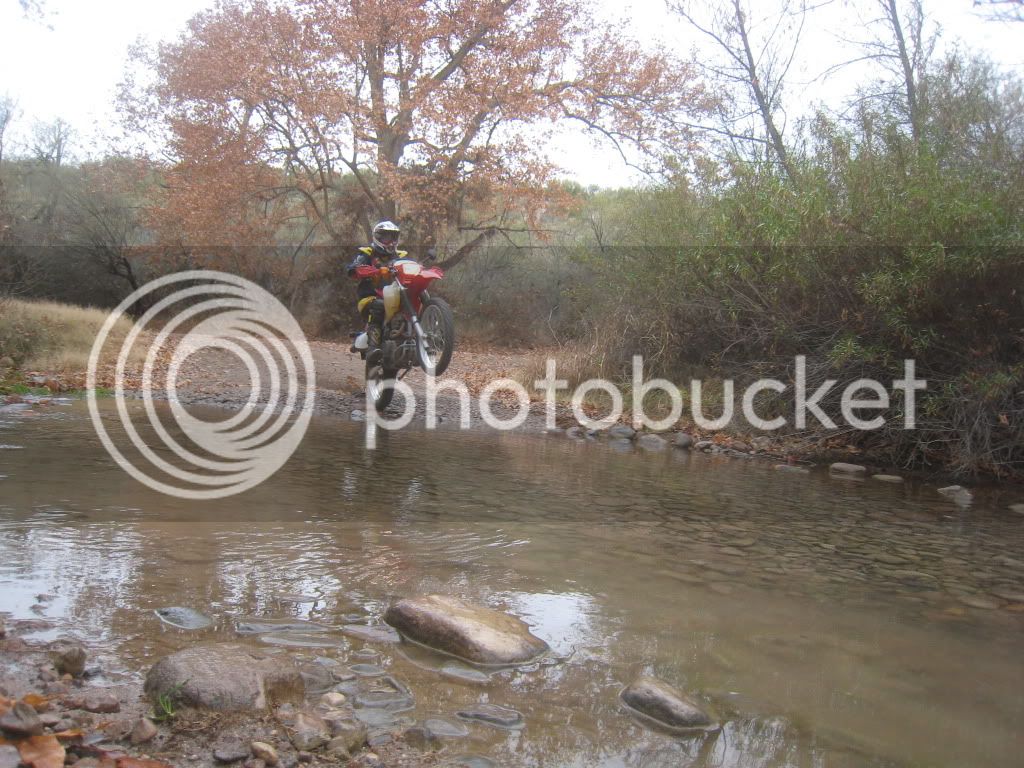
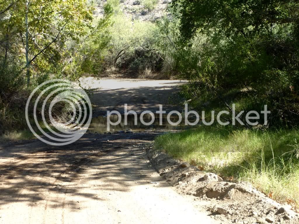
The first water crossing (got a little excited!)


CherryCreekRd121910004.jpg


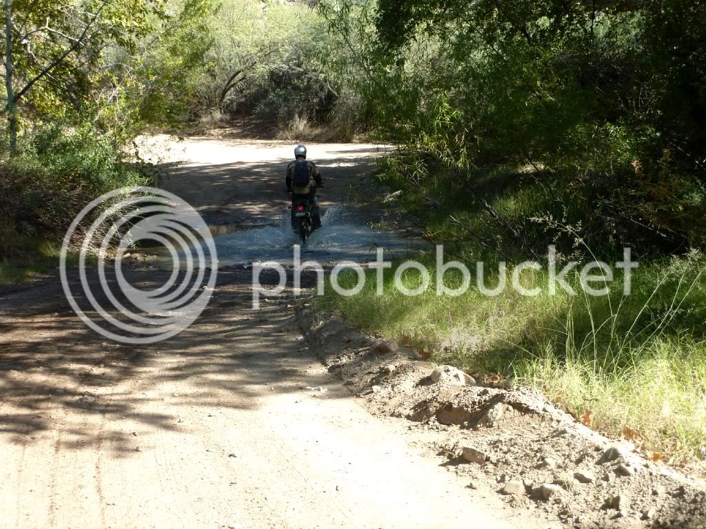
And here’s Don on the second water crossing. I bet we had 12 or more water crossings over the course of the day.


CherryCreekRd121910005.jpg


Just past Ellis Ranch, Don splashed through a crossing and he scared a red fox out of a wood pile just ahead. Mr. Fox took one look at me and decided to run off into the woods. I got a pretty good look at him, but no chance for a picture.


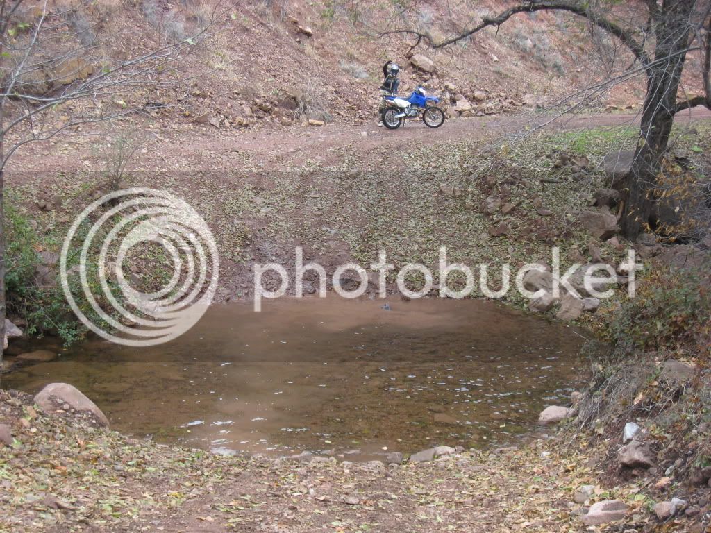
This next crossing was a surprise in that it was much deeper than it looked. We made it through no problem, but it was pretty deep.


CherryCreekRd121910006.jpg


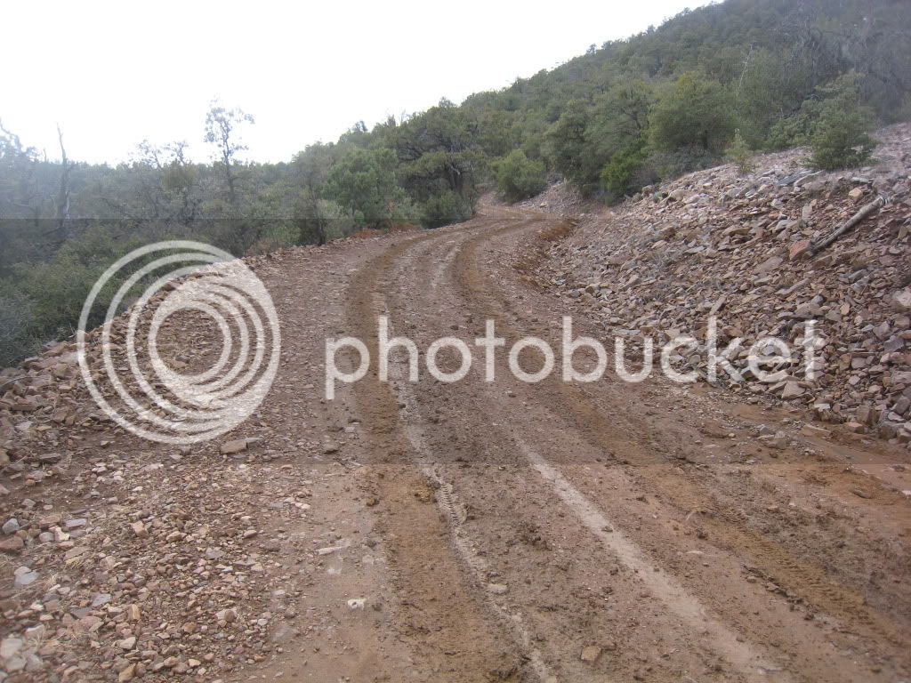
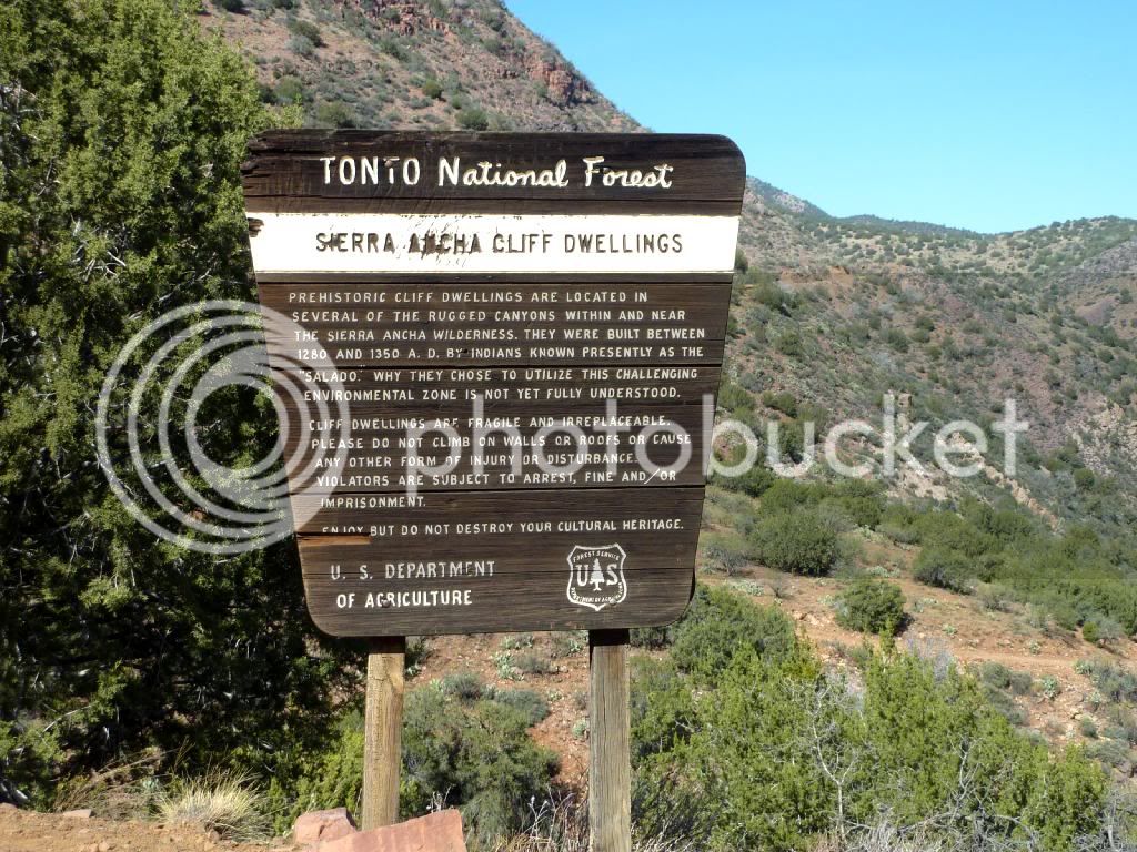
The road gets somewhat rough after the ranch, but mostly just because of loose rocks. There are some cliff dwellings back there I’d like to hike up to sometime.


CherryCreekRd121910007.jpg


I think they were at the base of these cliffs


CherryCreekRd121910008.jpg


A nice spot for a break.


CherryCreekRd121910009.jpg


<?xml:namespace prefix = o ns = "urn:schemas-microsoft-com:eek:ffice:eek:ffice" /><o:p></o:p>


The road was slick in spots as it had rained either earlier in the day or overnight. Some spots looked dry, but were slick, others looked wet but were sticky. Go figure. Enough mud to keep your attention, and to punish you if you relaxed too much.


CherryCreekRd121910012.jpg


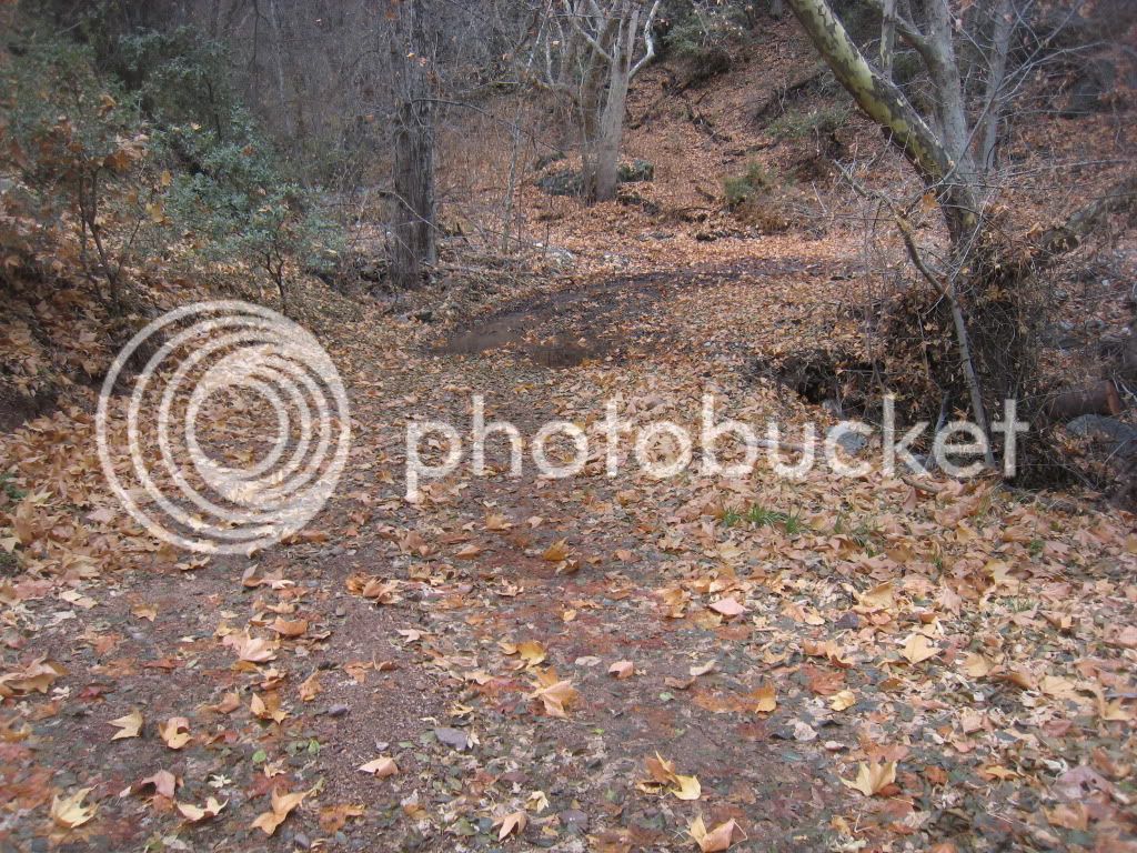
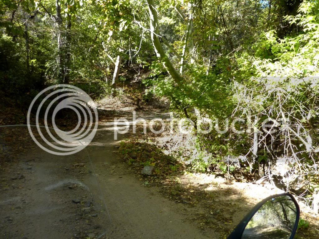
As we climbed, we got into different trees, and the road was covered in leaves, even though the trees still had some on them. There were many scenes like this.


CherryCreekRd121910013.jpg


And the clouds settled in on the mountain tops. We had just enough exertion to not notice the temperature was dropping. We figured if the rains let loose, we could make our way to Young Hwy and take the easy way back. They never did, thankfully, but it was clear we hadn’t missed rain by much.


CherryCreekRd121910017.jpg


Don was leading when he passed a little road off to the right. He skidded to a stop and spun around to head down this trail, so I followed along. We soon came to a gate, so we had a conference. Stick to the original trail, or try this one for a while. Curiosity overcame us, so we opened the gate and went on down the road.


Right away was another water crossing, and as we crossed we saw a cabin on the left with some guys milling around the outside. We rode on toward them and one came out to meet us. Nice enough chap, apparently a hired hand at the Cherry Creek Ranch, and he was down here with a fencing crew. They had been staying here all week he said, and were getting ready to head out. I asked about the cabin, if we were on private property or what, and he said this is one of those cabins anyone can stay at, first come, first served, FREE! Cool place to hang out. Turns out this was the end of that trail, FR2812. Here is Don coming out through the little water crossing. (Super short video, click on the image.)


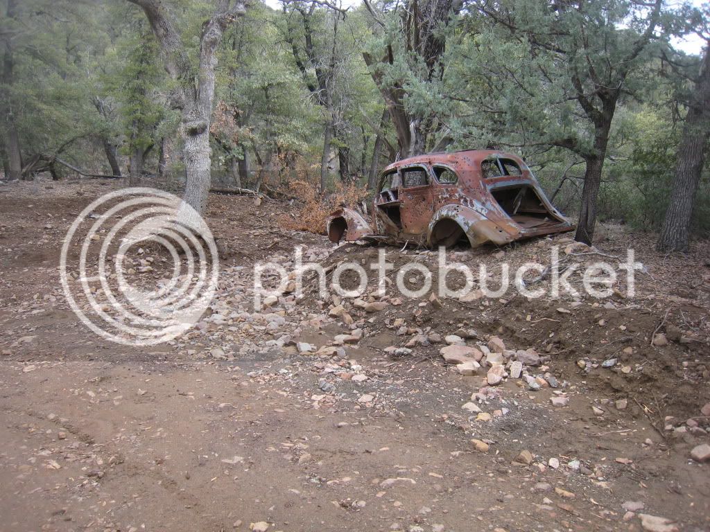
FR203 will lead you back out onto the Young Hwy (288), or you can branch NE on FR329 to continue on the back roads. Much better! I think this old jalopy was on the 329 not long after we started up that road.


CherryCreekRd121910018.jpg


FR329 is a fun road, definitely has enough variety to keep it interesting. Here we strayed off onto a goat trail of some kind that was really soft sand/dirt mix. Turned out to be a rather short detour, but fun enough that we went up and down a couple times. Here’s Don on the trail, all those tracks are ours as we were blasting around back there for a few minutes.


CherryCreekRd121910024.jpg


Onward we went, as we were still a ways from Young and the afternoon was aging.


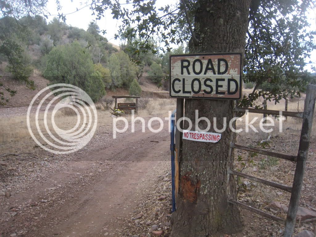
FR329 ends at the intersection with FR54, so we took 54 N. This road was really a fun one! Lots of ups and downs, sweeping views, beautiful! A ways in we hit fresh fence and all kinds of “No trespassing” signs. Looks like the fencing crew we met had been busy around here. Pretty sure they’re going to put a gate here, but not sure if it will end up locked. If so, that’s a pity because this road is a blast! We stayed on the road, but it crossed the private property for about 100yds. We just couldn’t turn around yet!


CherryCreekRd121910025.jpg


CherryCreekRd121910026.jpg


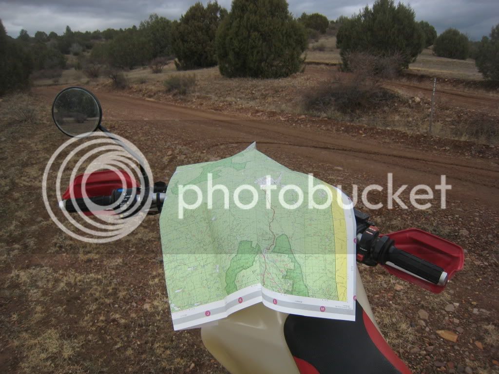
A couple more water crossings, and we came to a fork in the road. The one we thought we should take was labeled 3004, even though we thought we were looking for the FR913. Since we weren’t sure, better check my GPS, (Generic Positioning Sheet, er, map).


CherryCreekRd121910027.jpg


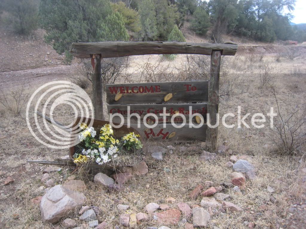
We soon came to another intersection, this time with a sign to Cherry Creek Lodge to the left and, we assumed, Young to the right. We went left to check out the lodge. They had a nice sign so we’d feel welcome.


CherryCreekRd121910029.jpg


And then another one to tell us to go away.


CherryCreekRd121910028.jpg


So, we didn’t go in to see the so-called lodge and instead headed on into Pleasant Valley. It was getting colder now, about 3pm, so it had taken us 4 ½ hours to travel the 62 miles from the trucks. Time to bolt back down the Young Hwy before sundown.


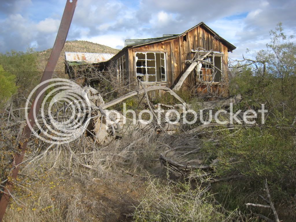
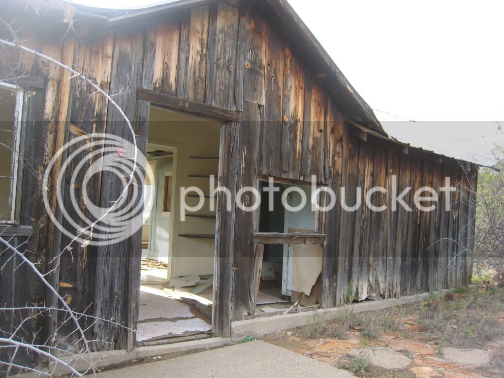
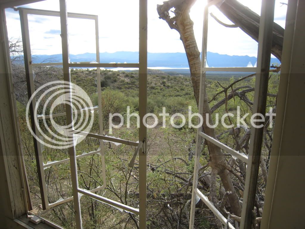
It was pretty cool all the way down the mountain until Roosevelt was back in sight. Near the bottom of the hills, there is a decrepit old cabin that I’ve always wanted to have a look at. We stopped for a couple of pictures here before heading back to the trucks.


CherryCreekRd121910032.jpg


CherryCreekRd121910031.jpg


CherryCreekRd121910034.jpg


They had a heck of a view at one time.


CherryCreekRd121910033.jpg


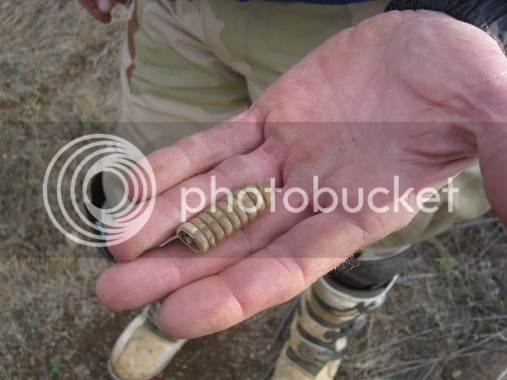
Don even found a rattle, glad the other end was missing!


CherryCreekRd121910035.jpg


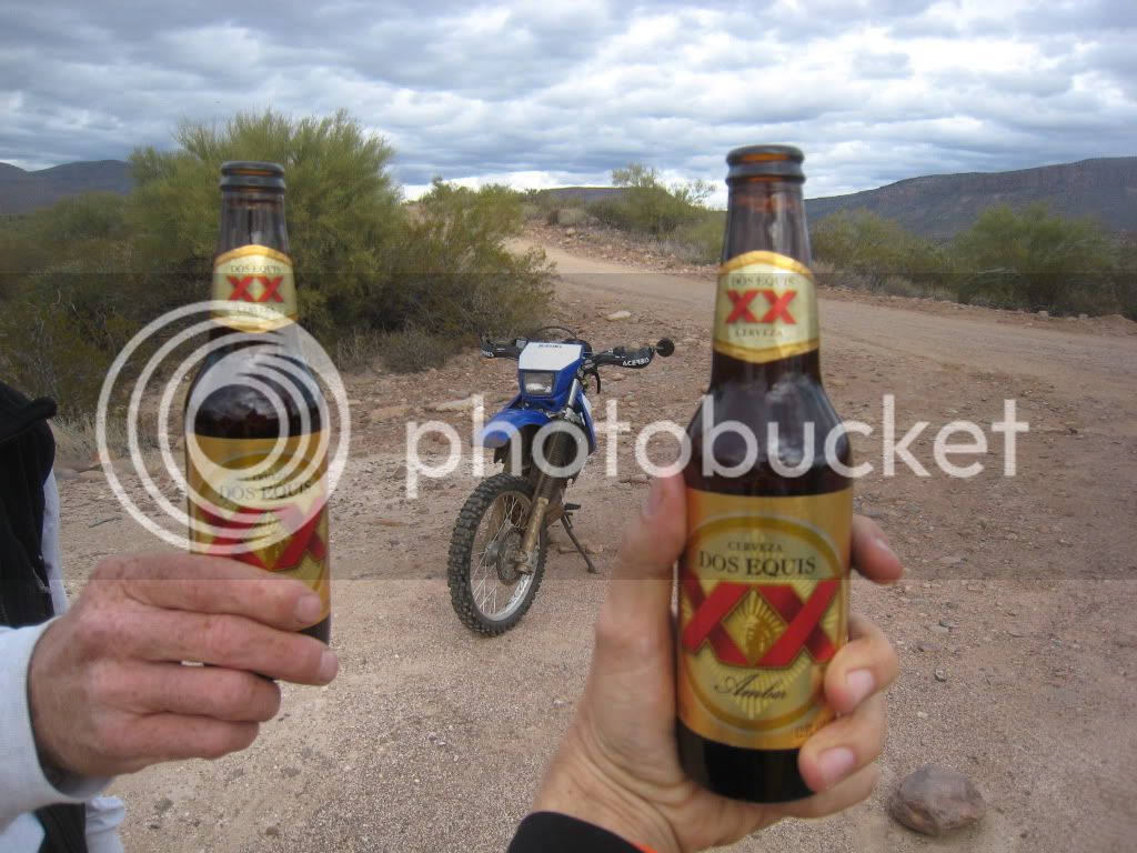
Once back at the trucks with about 102 miles logged in, it was time for a brewskie!


CherryCreekRd121910037.jpg


Another great AZ winter ride!
 
Last edited by a moderator:
https://www.loshermanosrestaurant.com/ Departure point for this off road ride will be from the Los Hermanos Restaurant in Superior, AZ and Kickstands Up will be at 0900 hours; you must top off your fuel tank in Superior to make it all the way to the end.

If you want Desayuno (breakfast) before the Adventure Trek, join Papa Chuy Viejo at 0800 hours for a big bowl of Menudo Rico. 100 million Mexicanos cannot be wrong about Menudo ese, Los Hermanos makes the best Menudo Rico this side of the border!

20090728-nastybits-final.jpg


Last edited by a moderator:
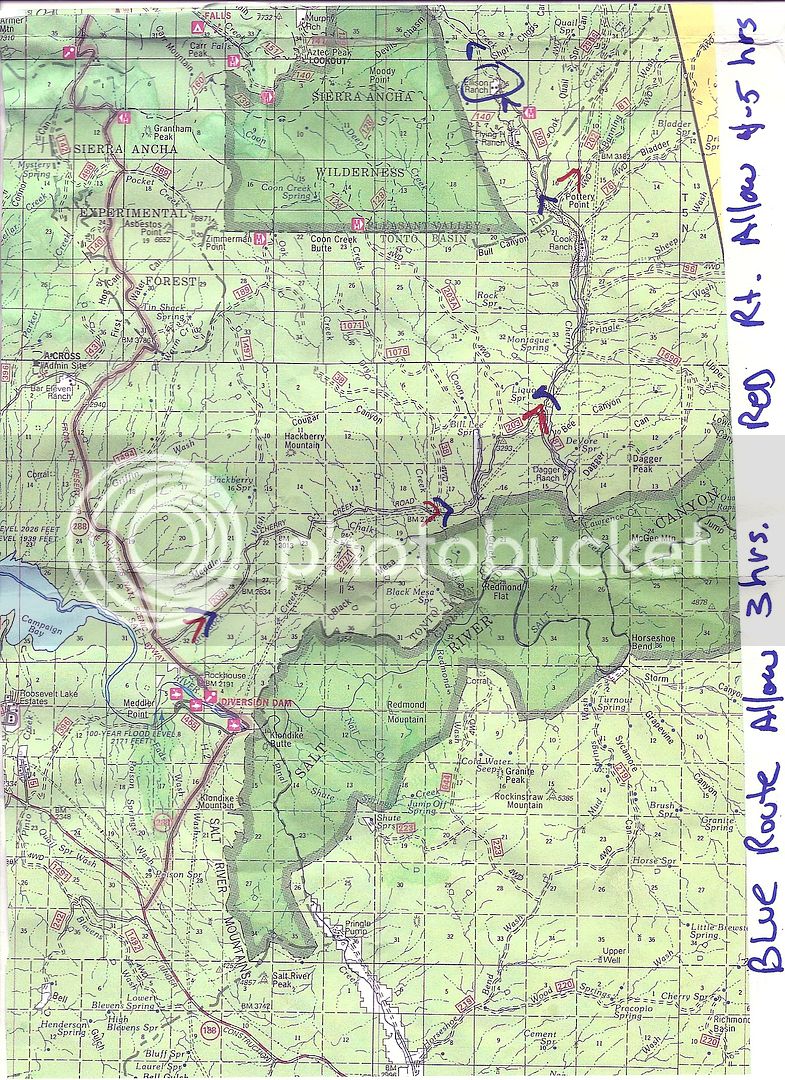
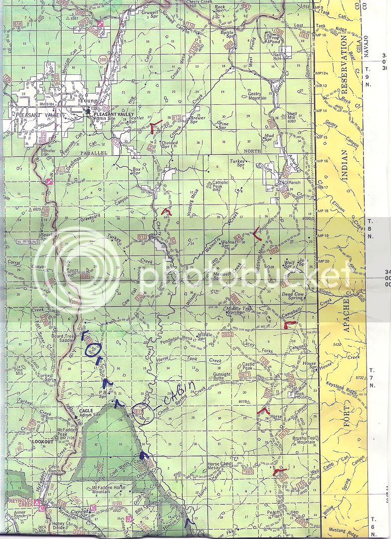
azredline - Steve took the time to lay out the route for us on the Tonto National Forest map and we'll be running the route from South to North: Here's the Southern Portion of the map routing:

Scan122710000.jpg


Here is the Northern, Steve says there are 4 rough sections in the last 8 miles which will be a workout for the BMW R1200GS's and Yamaha Super Teneres. They are makeable, but take it slowly!

Scan122710001.jpg


Last edited by a moderator:
https://www.azbeemers.org/forum/index.php?topic=3924.msg30422;topicseen#msg30422 On our 10/28 Cherry Creek dirt bike ride I'm going to discuss/plan our Spring ride to Toroweap, this'll be a 3 day with 2 nights camping adventure trek!

Great pictures guys, I need to go there!
Outstanding Photos! Brother Ron, I'll be your Huckleberry if you want to make a long weekend run to Toroweap. Perhaps a Spring campout for FJR Forum!

BB if you were fortunate enough to be born Irish such as me, you would've been blessed with a Shillelagh that would've let you reach over the damned ledge!

P1030721.jpg


Last edited by a moderator:
Bump Reminder!

Two weeks from today we Manly Men of the Southwest FJR Forum will be tackling the Cherry Creek Trail in the Tonto National Forest with our dirt bikes, be there or be square!

If you need more info please contact Don Stanley at either 480-440-4666 or [email protected]

 
Last edited by a moderator:
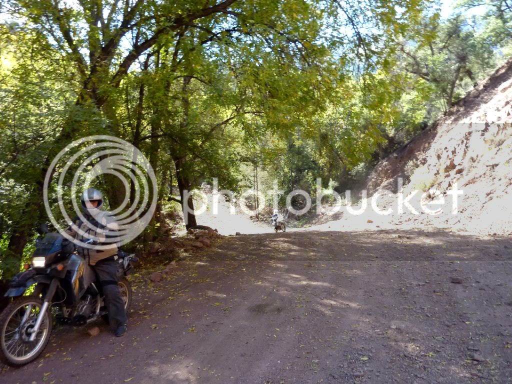
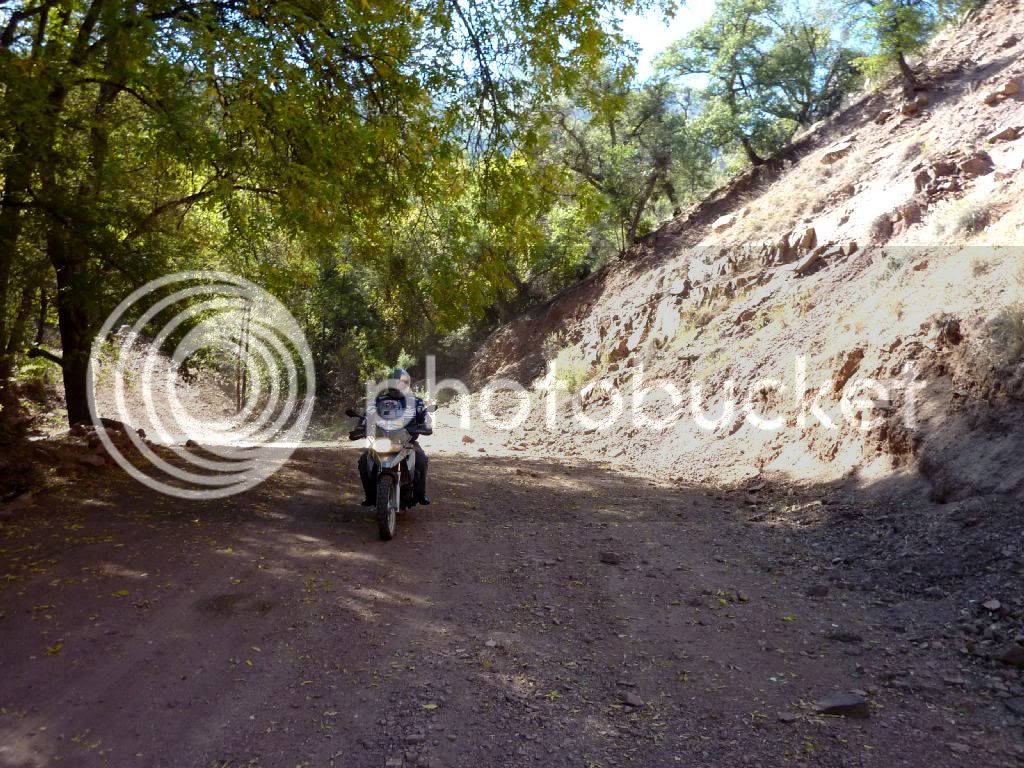
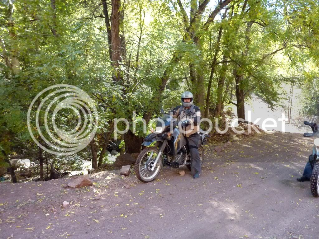
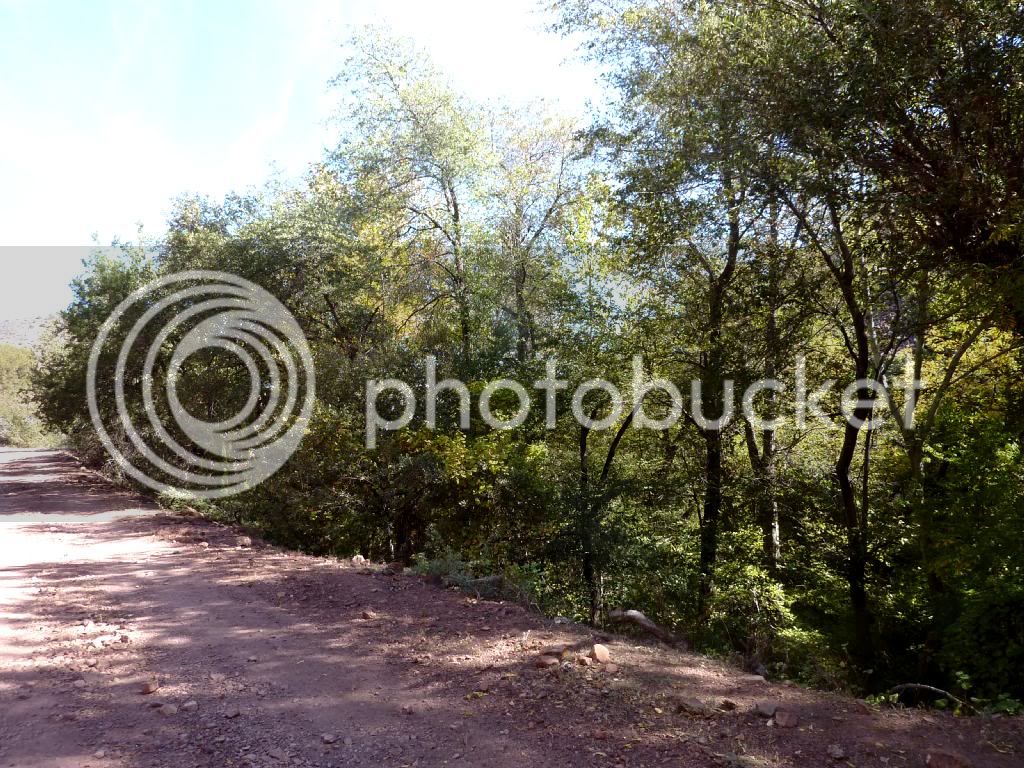
Photos taken by AZ Beemers Club Member Brian Boles on 10/28/12 of the Cherry Creek Trail:

Here's some more pix from the ride.

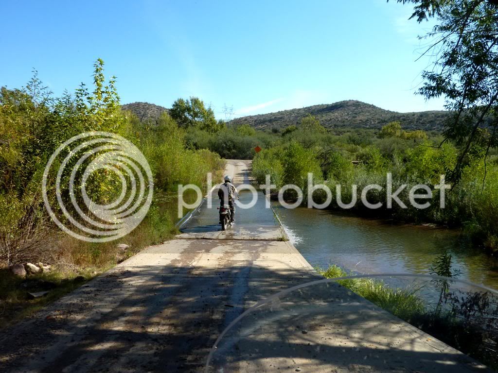
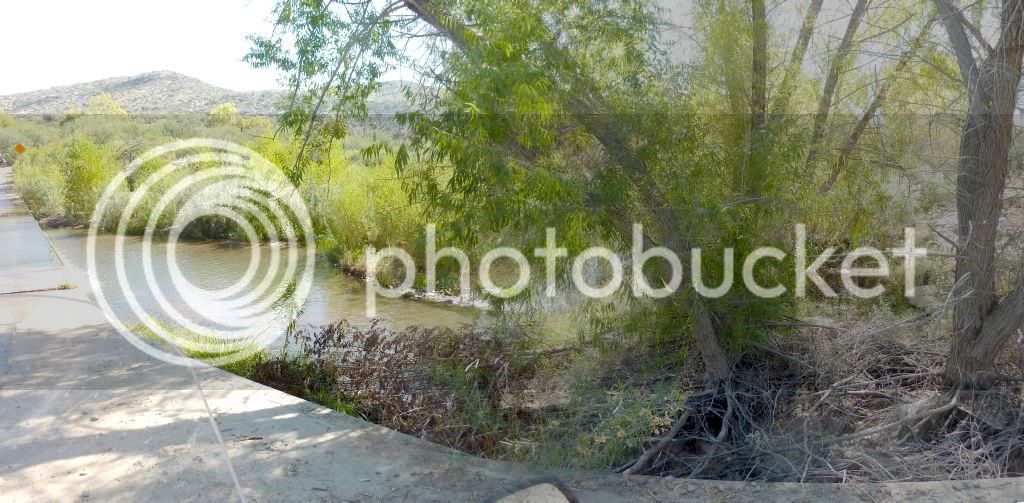
There's a lot of water crossings on this ride. This is the first one.

P1030831.jpg


P1030832.jpg


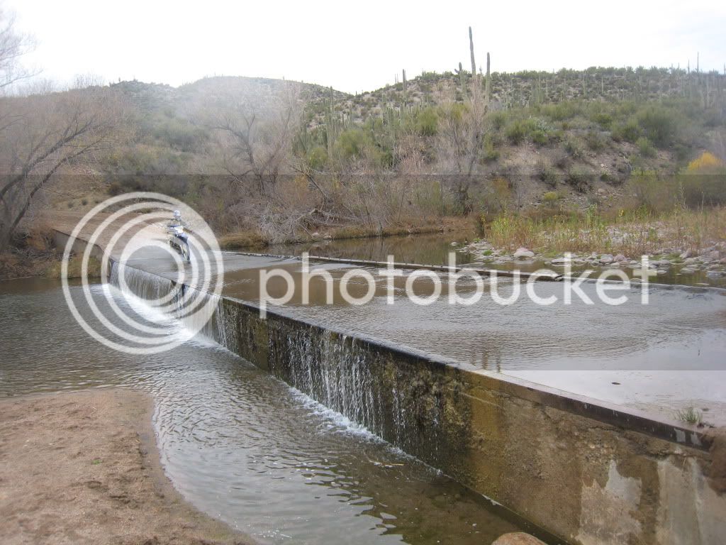
This is the biggest one. 

P1030833.jpg


P1030834p.jpg


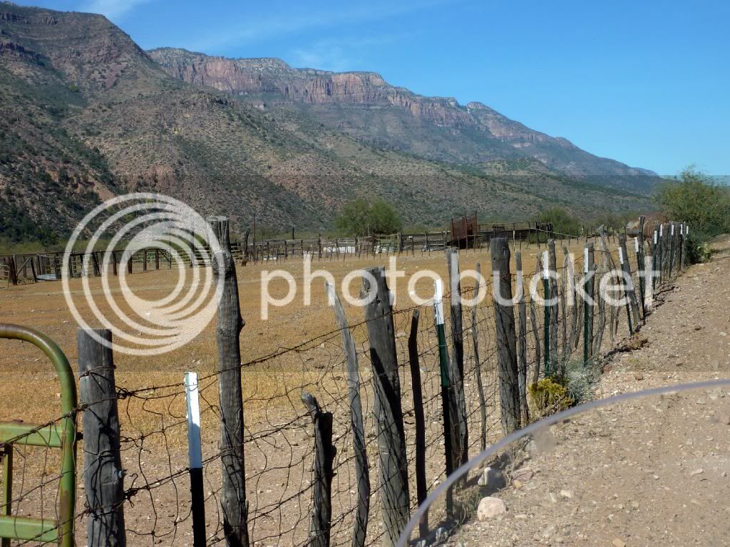
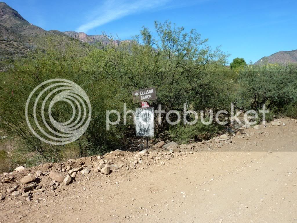
Ellison Ranch is a working ranch.  There's also a few private homes around this area.

I guess these folks pay for road maintenance on the south side, because after this, the easy road ends.

P1030836.jpg


P1030838.jpg


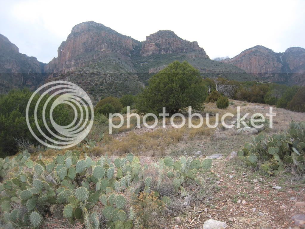
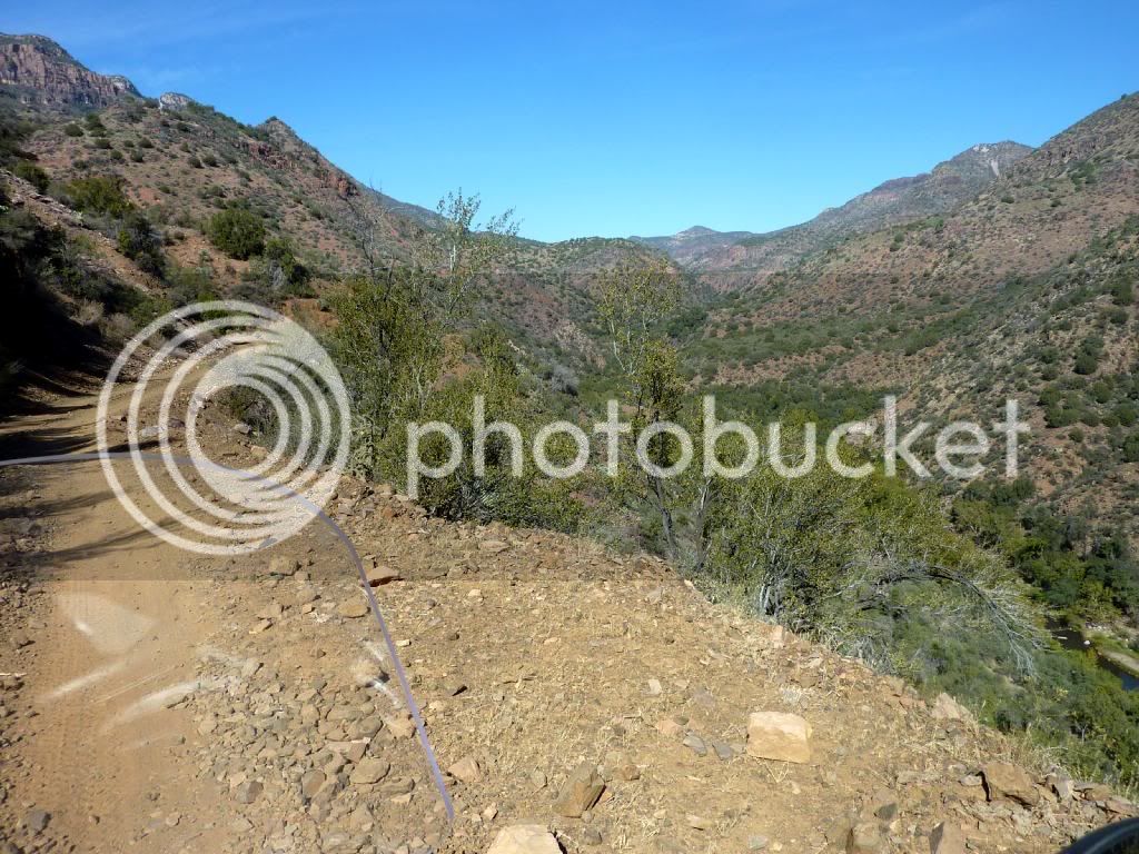
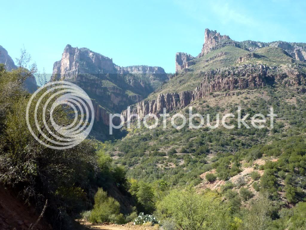
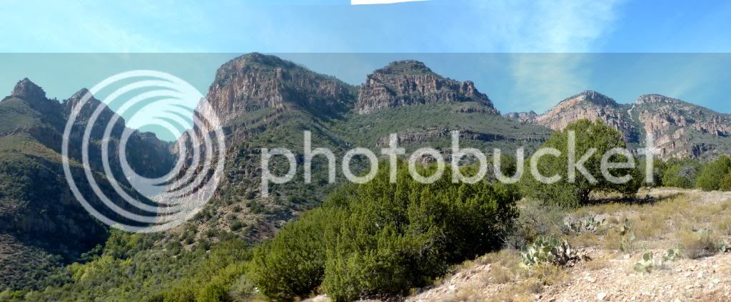
As you go north, Cherry Creek gets smaller and in a deeper canyon.  On the west is the Sierra Ancha mountains.

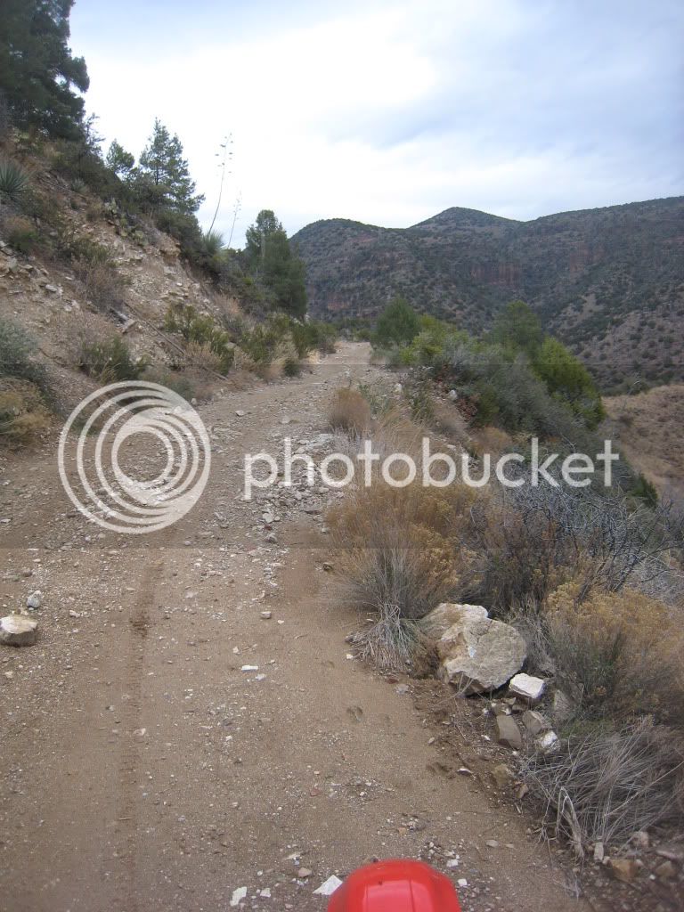
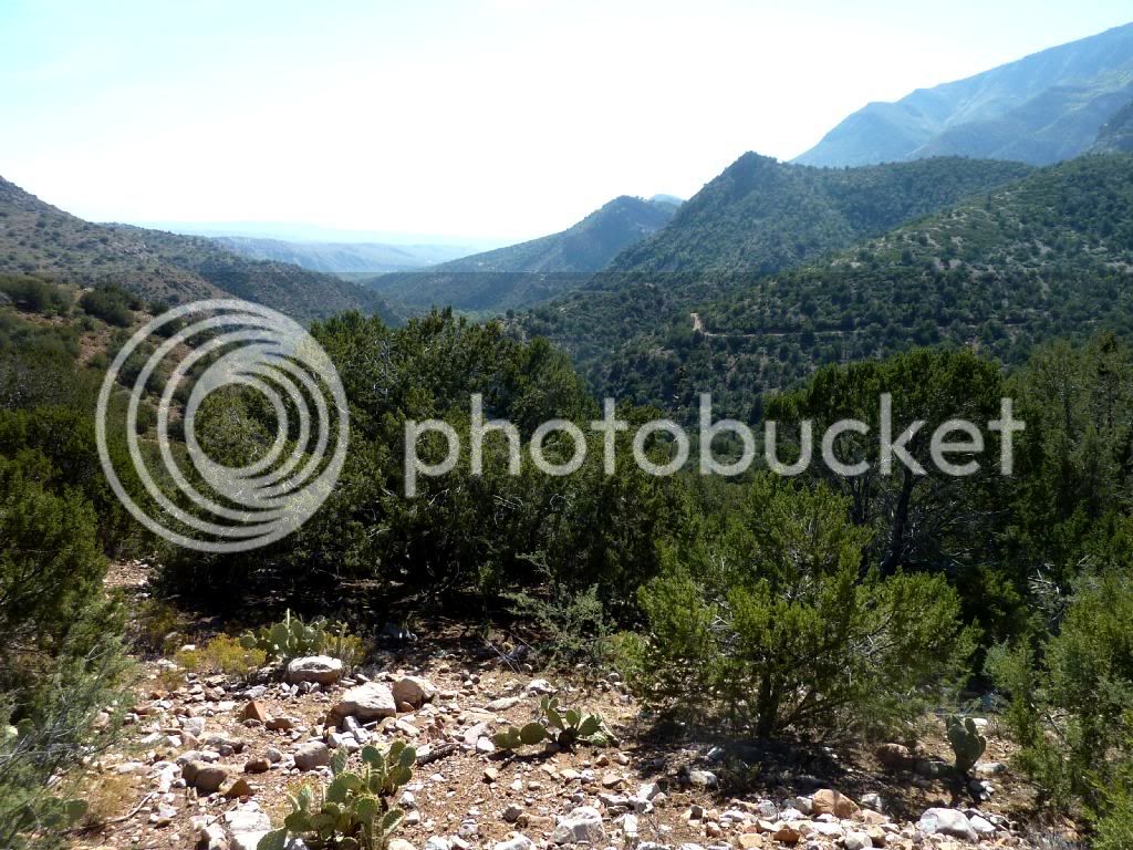
The road runs along the side of the Sierra Ancha's, gaining altitude as you go.

P1030839.jpg


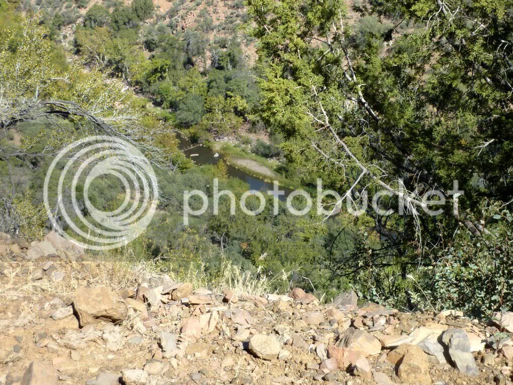
There's Cherry Creek.

P1030840.jpg


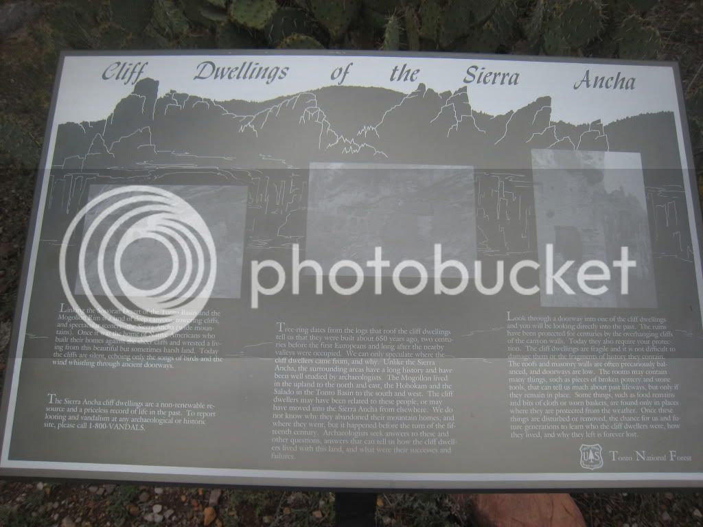
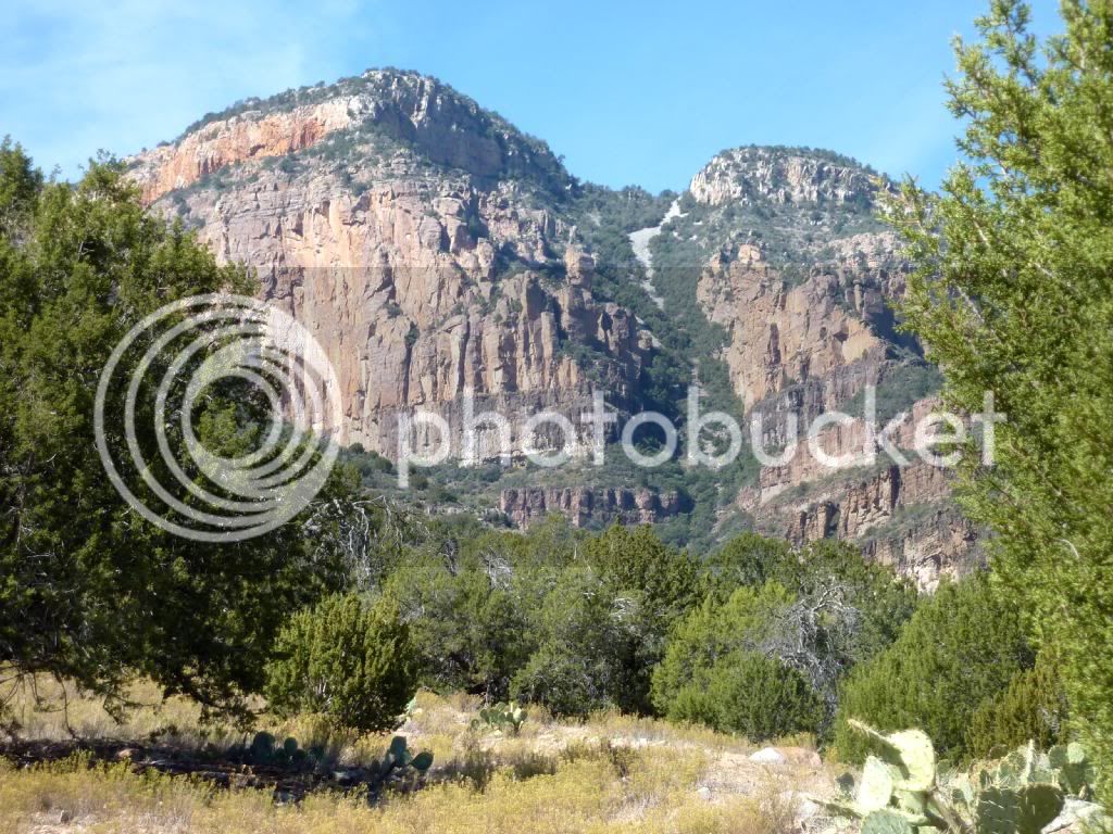
There's some cliff dwellings on the side of the Sierra Ancha.  It's apparently about a 2-3 hour hike to get to them.

P1030841.jpg


They're back in that canyon.

P1030842.jpg


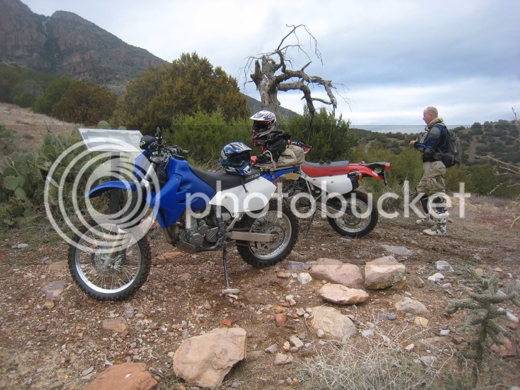
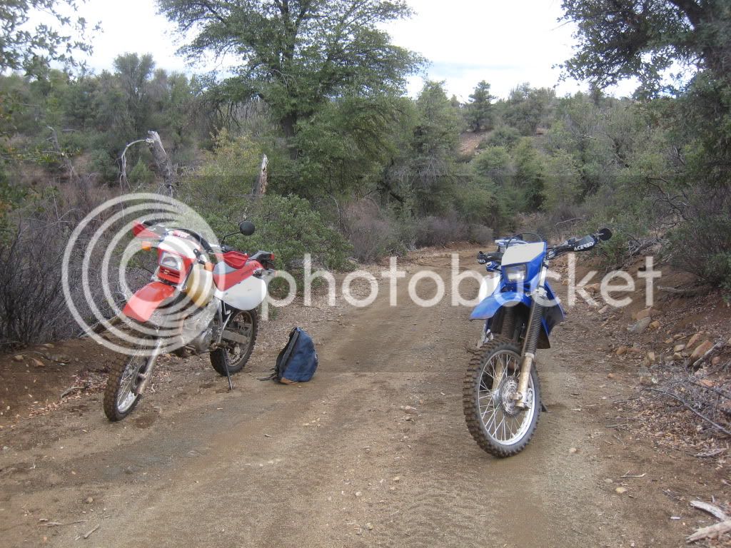
The road is rough around the cliff dwelling area.  Here's a nice flat spot to take a break on.

P1030843.jpg


P1030844.jpg


P1030845.jpg


P1030846.jpg


Looking up at the Sierra Ancha's.  This is looking west.

P1030849p.jpg


And back at the way we came.  This is looking south, the road is along the right.

P1030852.jpg


P1030853.jpg


Each notch in the walls of the Sierra Ancha's has a spring. 

As you go along the face, the road will curve into the mountain, and there will be a hairpin at the back of a notch canyon.

Each of these has a little spring fed water crossing. 

It would be very idylic and relaxing, except for all of the rocky road way on the faces of the mountains.

P1030855.jpg


That's all I took !   Sorry, no pix on the rough stuff.

Too busy saying "Don't crash" to take pix.
 
Looks like a great and fun ride!

I say someone needs to conquer it on an FJR..

Hey Don, LucyLIeu is ready for u?

 
Looks like a great and fun ride!

I say someone needs to conquer it on an FJR..

Hey Don, Lucy LIu is ready for u?
Mi Hermano Donaldo, the second half of the Cherry Creek Trail kicked my poor old ***! I'm so stiff, sore and tired today I can barely walk; but I intend to keep riding dirt until they bury me (probably next week!).

 
Last edited by a moderator:
Top