twowheelnut
R.I.P. Our Motorcycling Friend
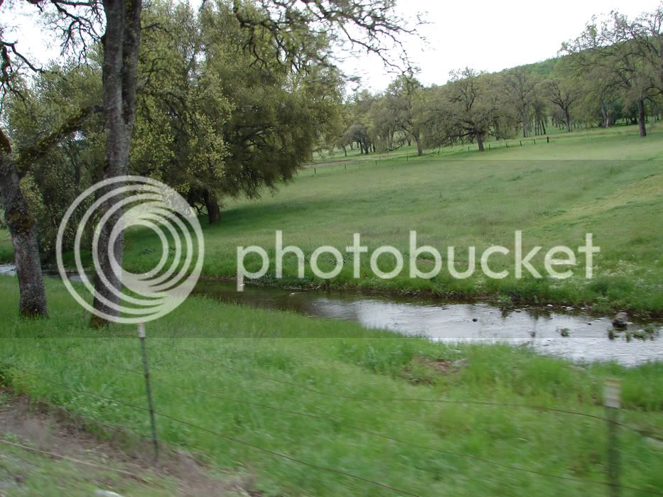
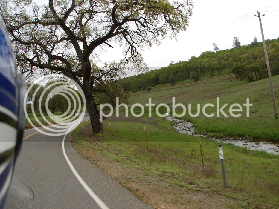
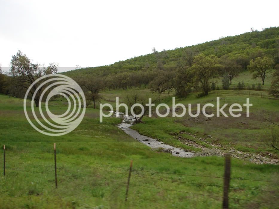
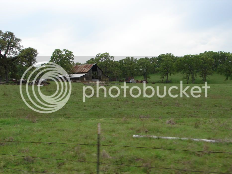
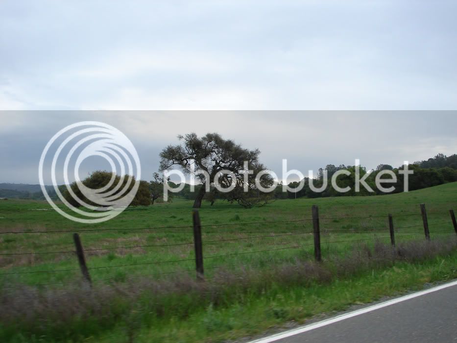
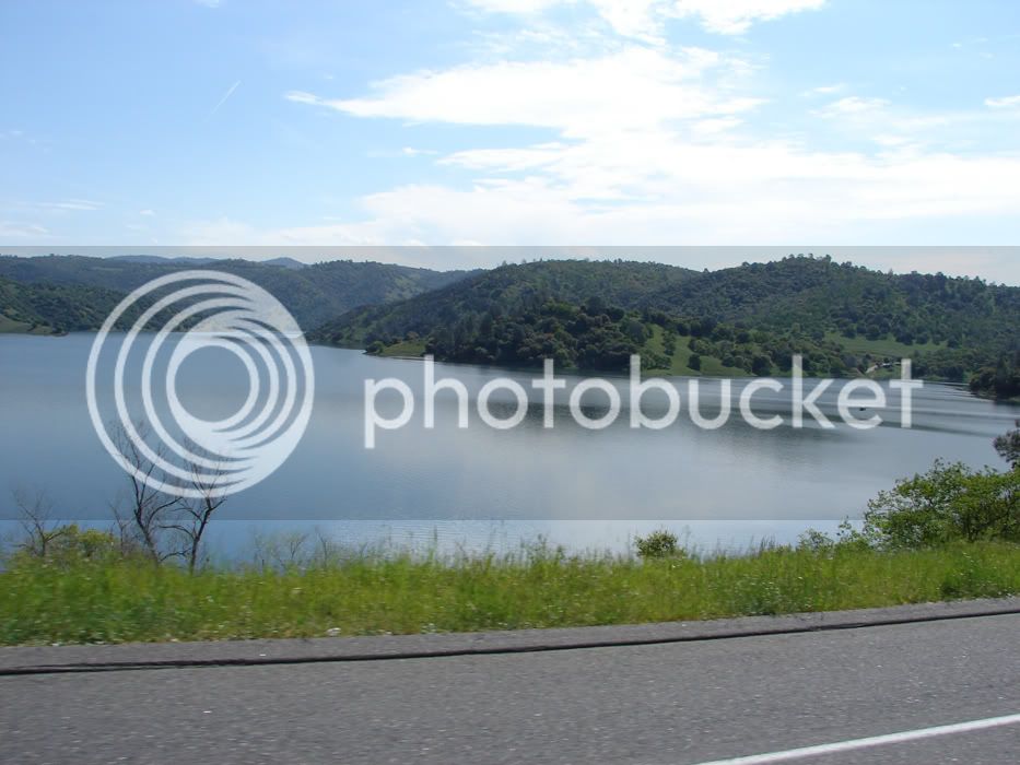
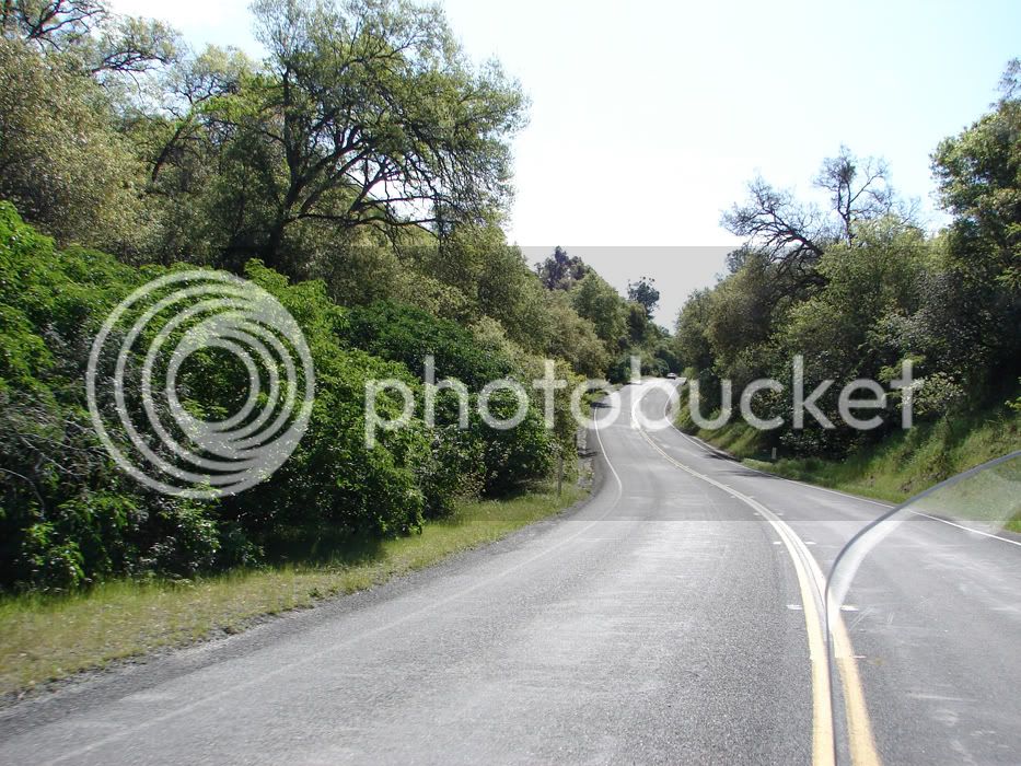
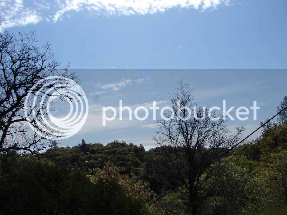
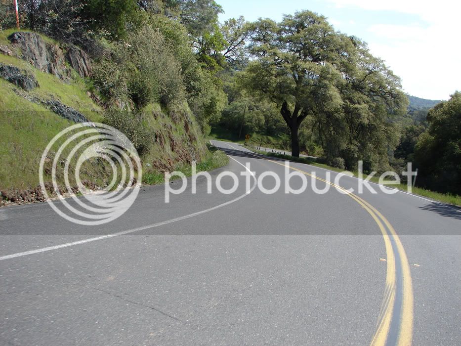
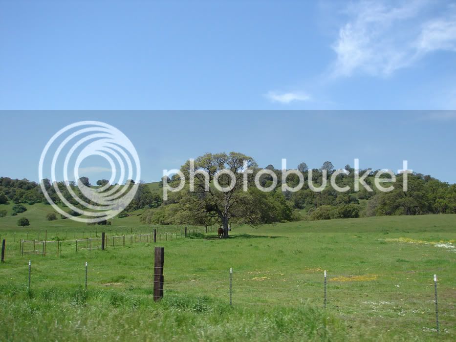
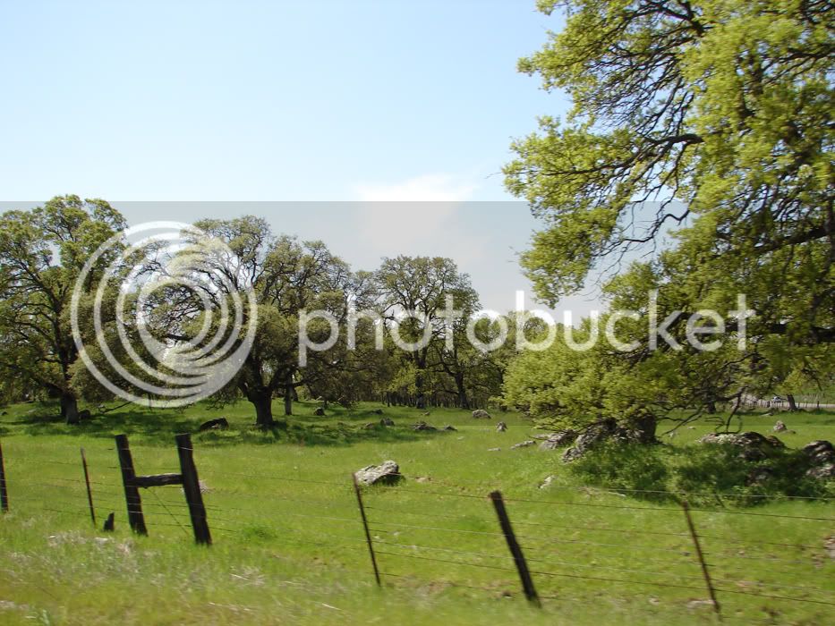
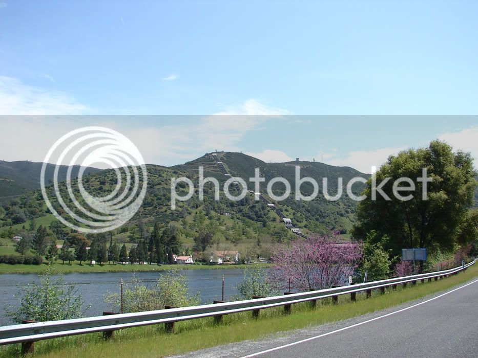
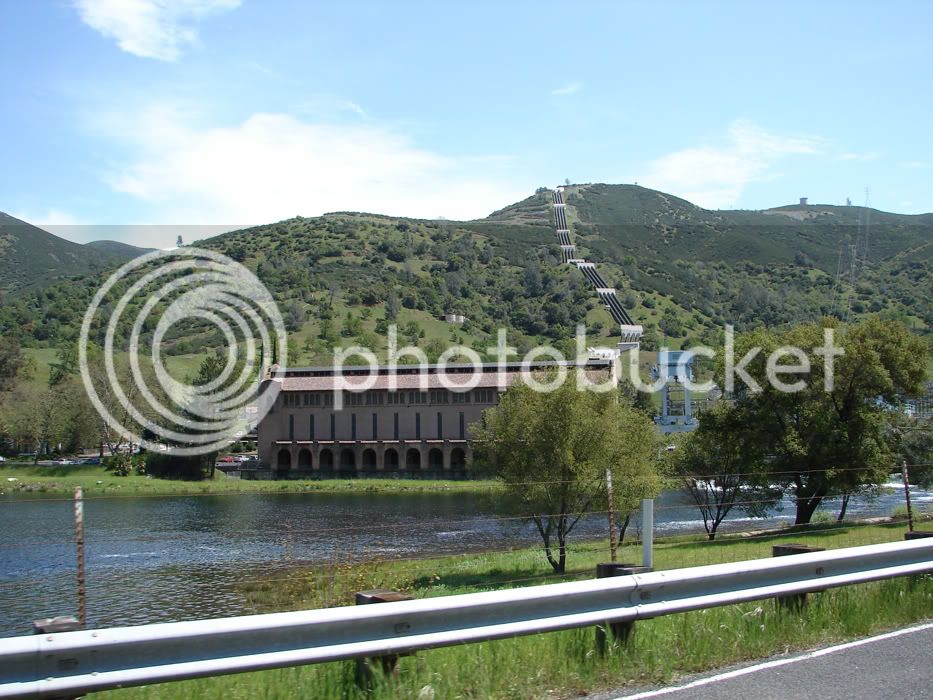
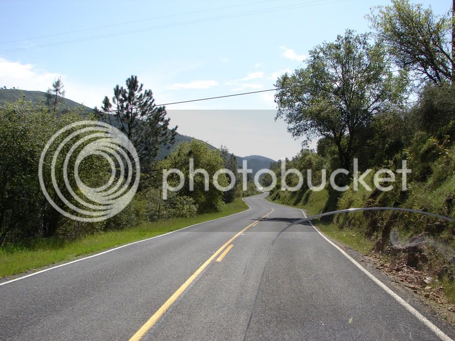
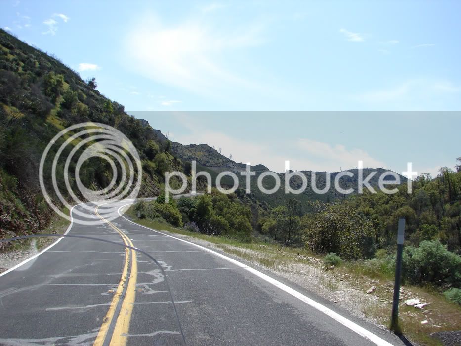
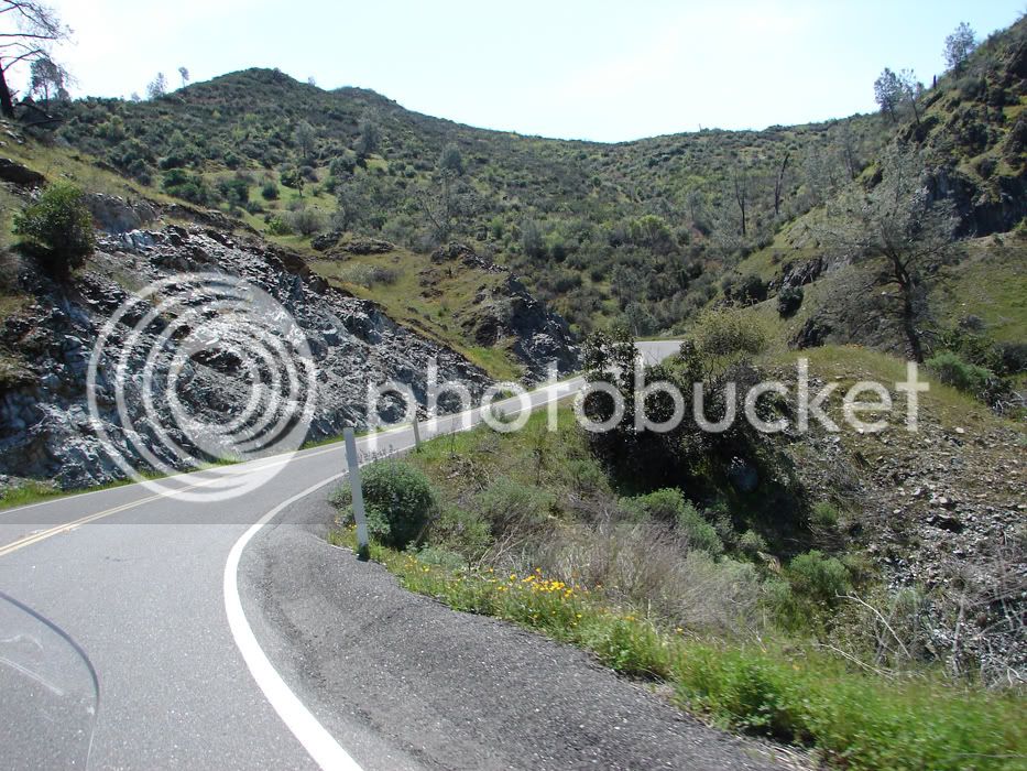
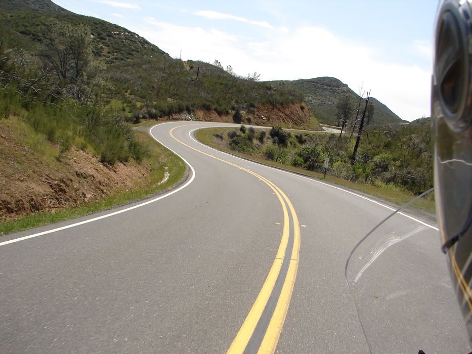
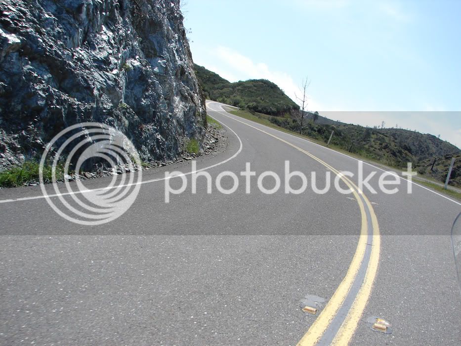
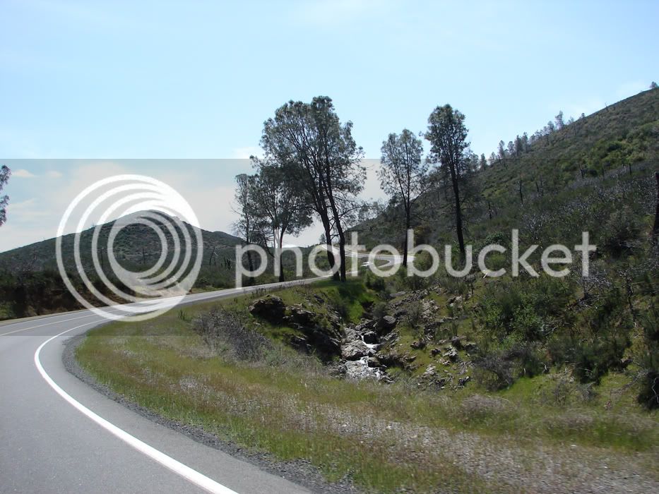
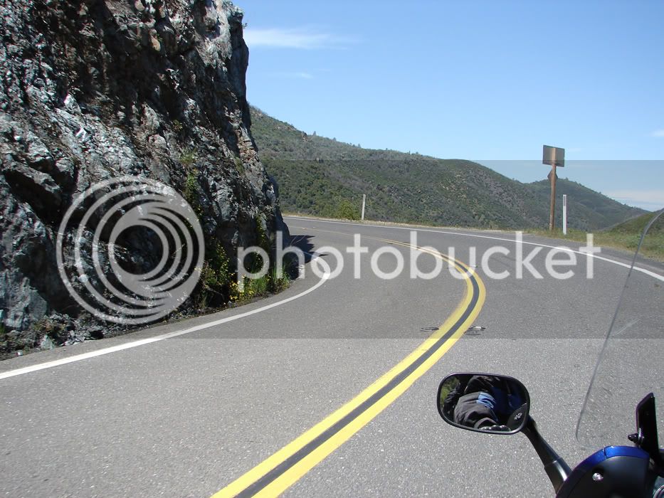
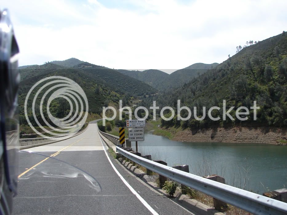
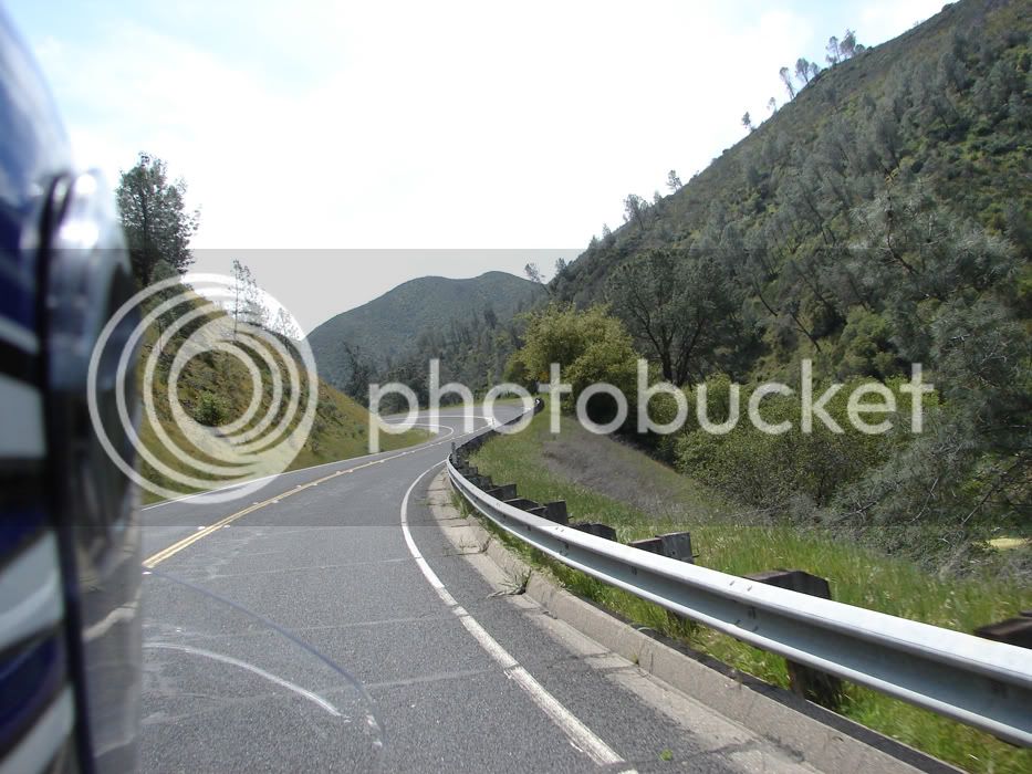
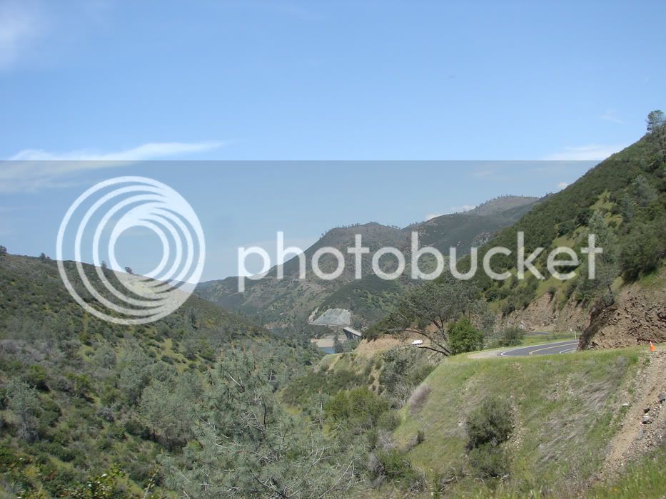
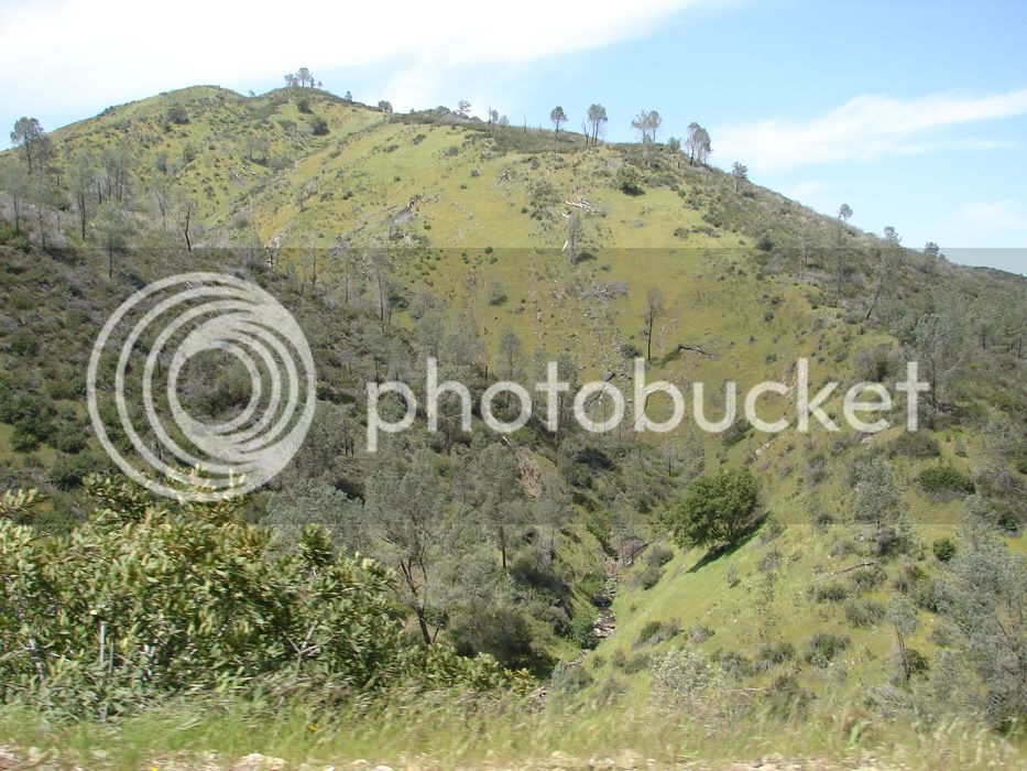
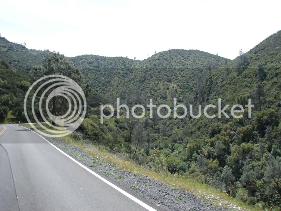
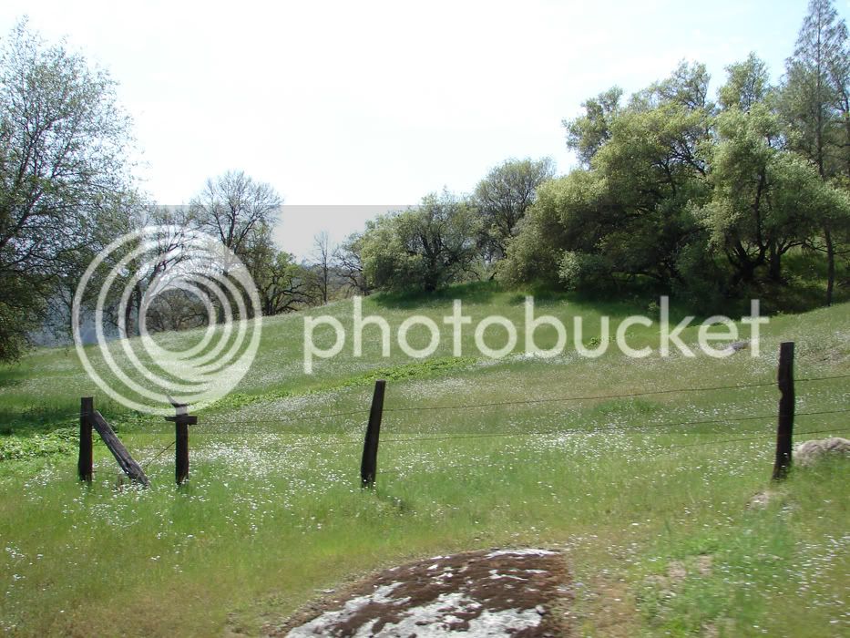
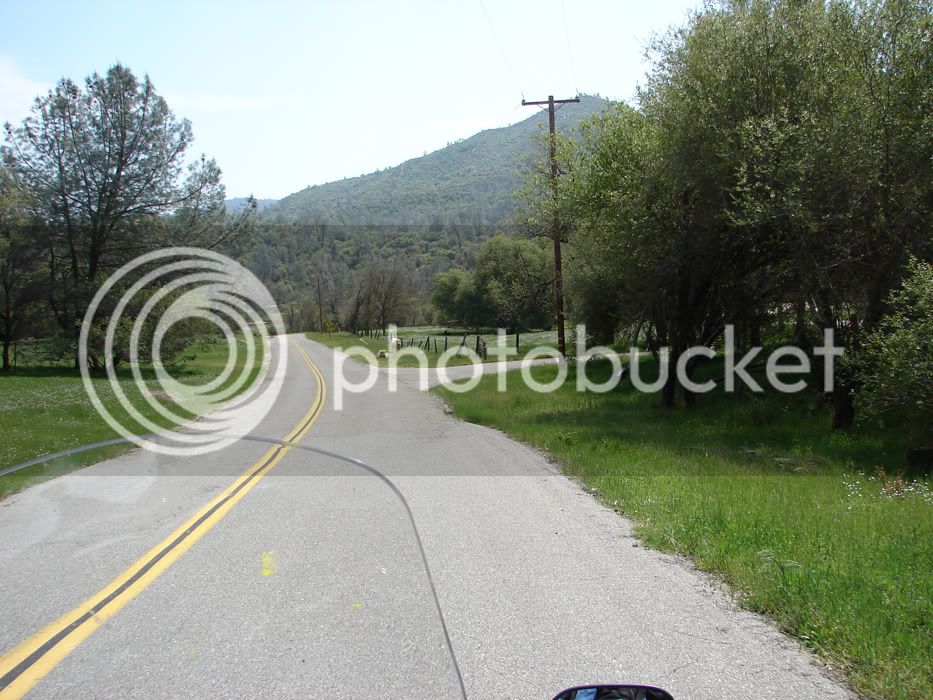
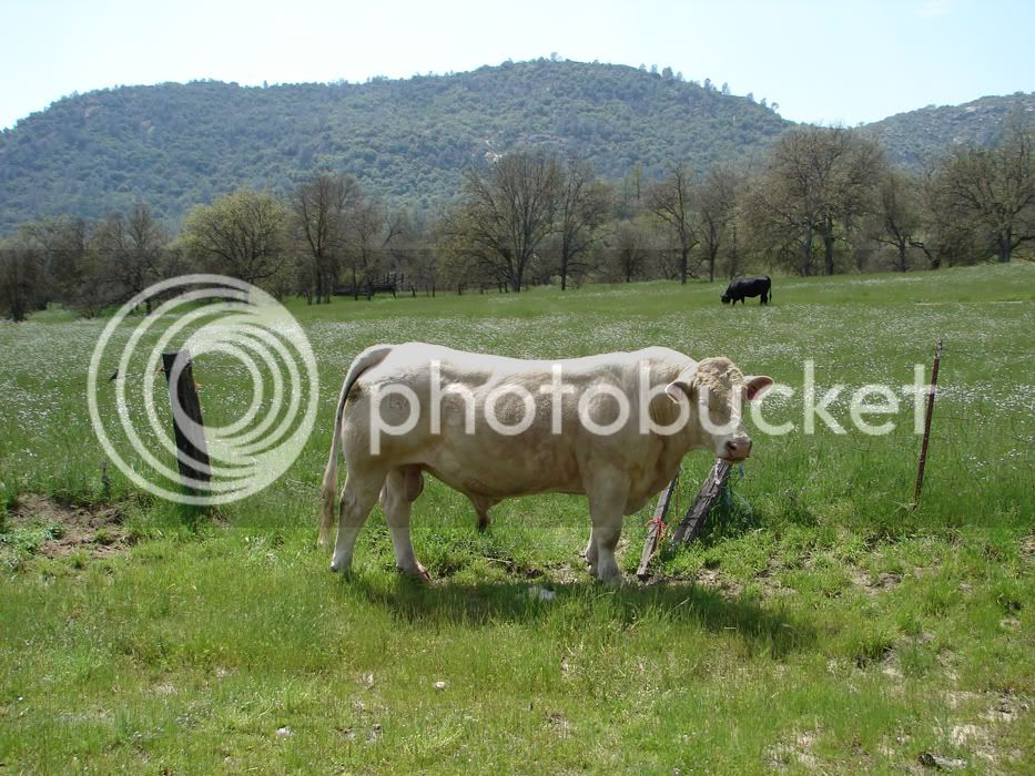
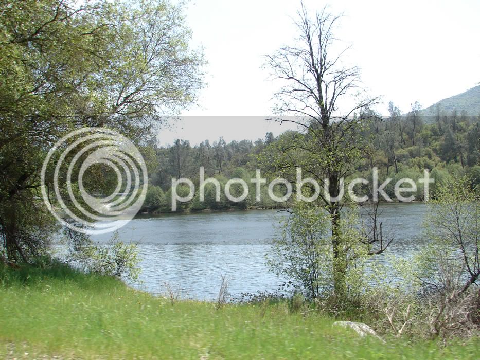
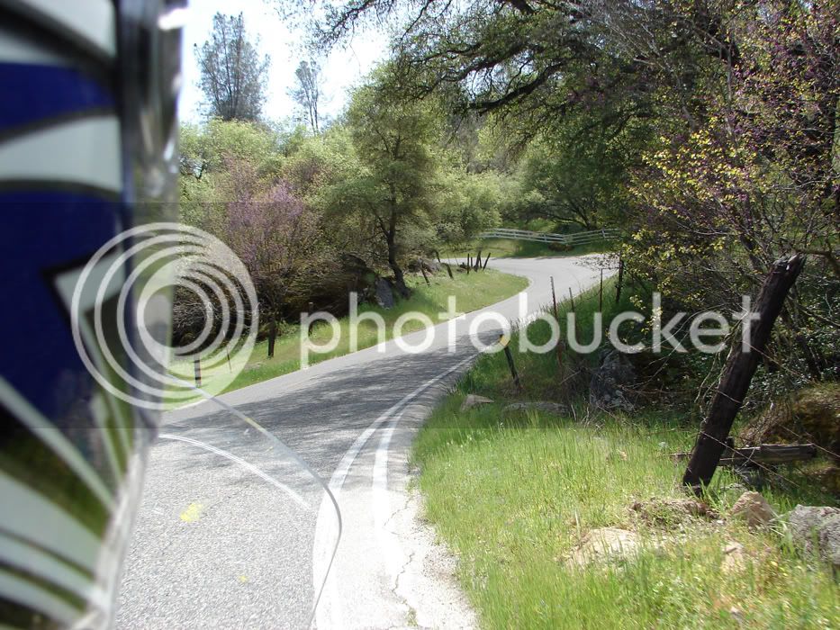
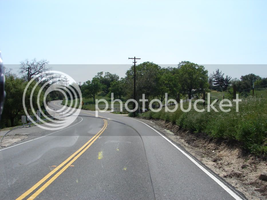
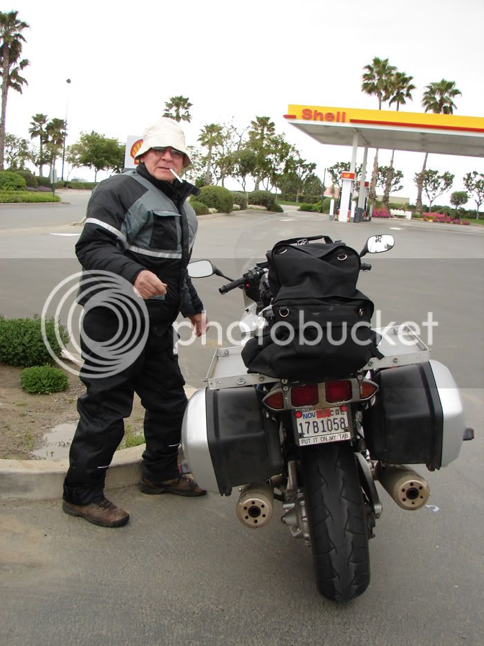
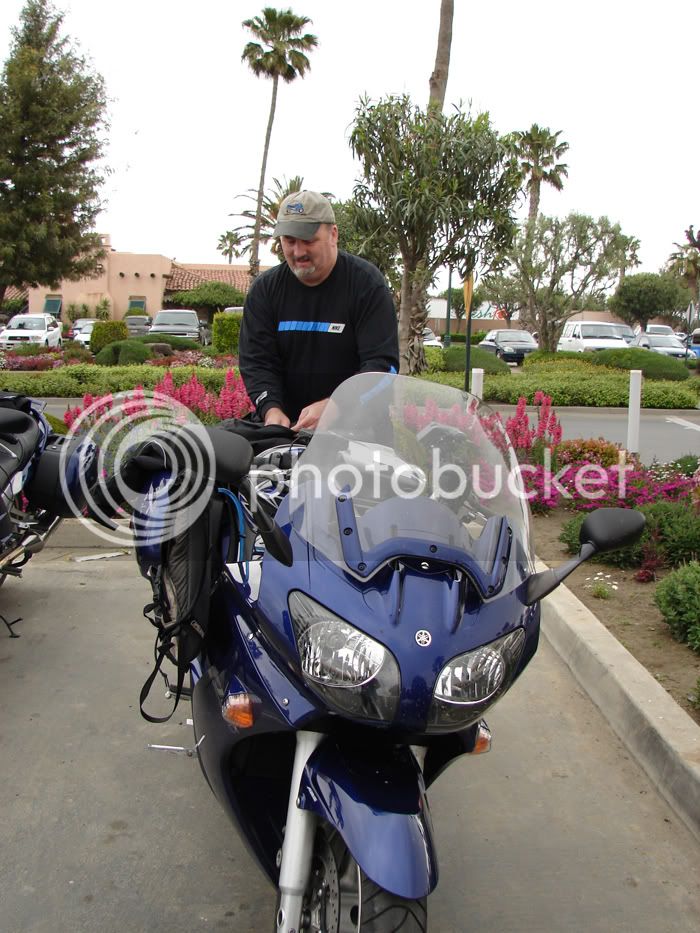
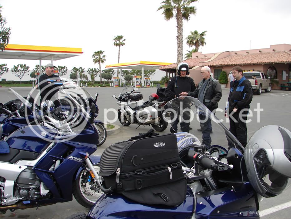
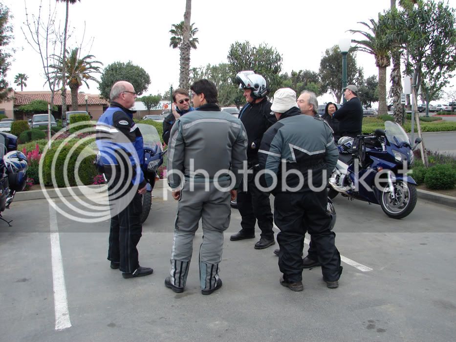
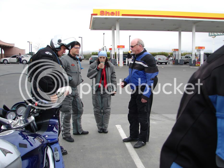
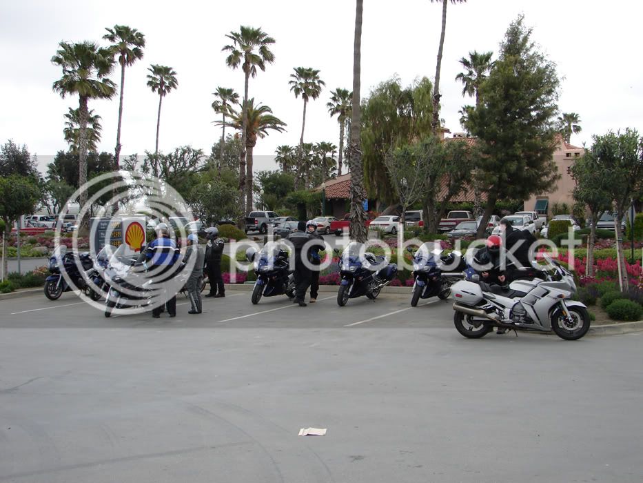
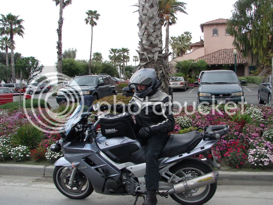
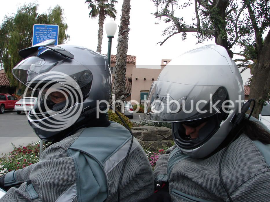
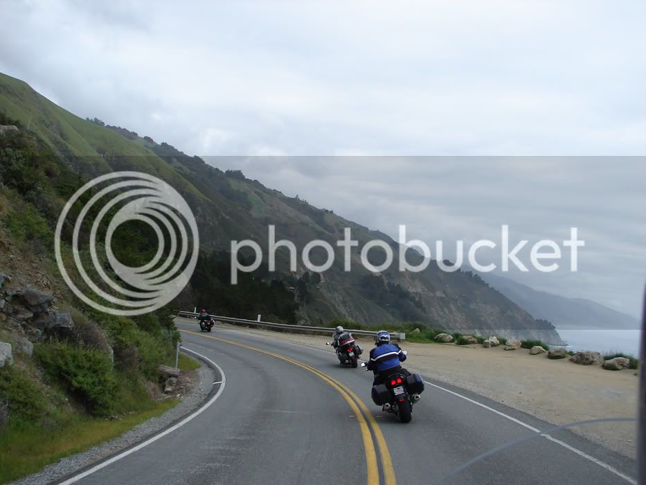
Here's some piccies of Toe's CCR ride, last Saturday:
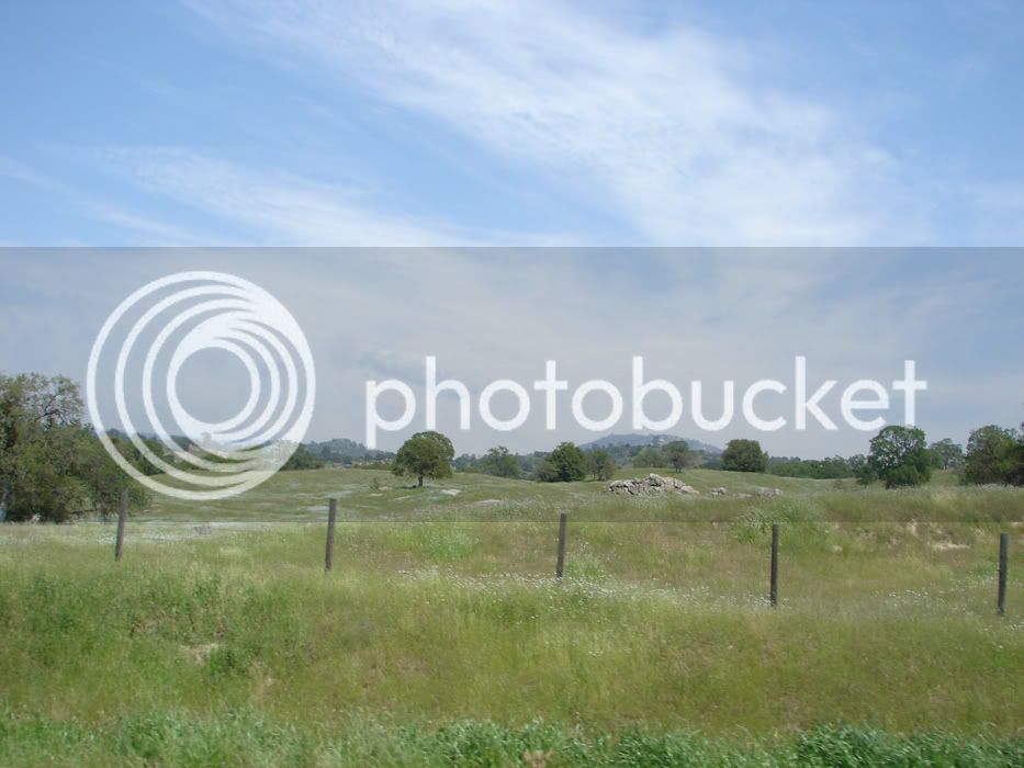
Looking into the Central Valley from atop Hwy 33...


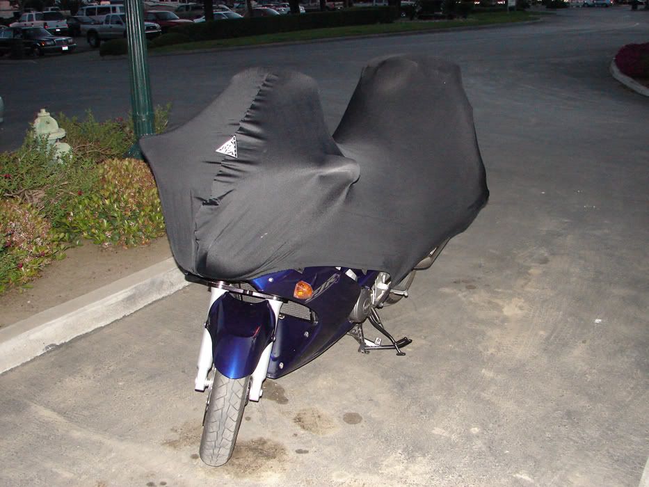
Looking west, back into the oil fields off of Hwy 33, somewhere north of McKittrick, Gee, wada purty bike...

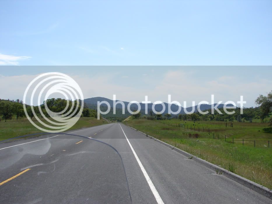
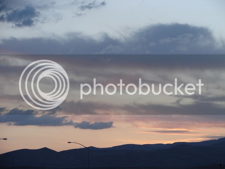
Looking east, toward Fresno on 33 and the gathering storm clouds...

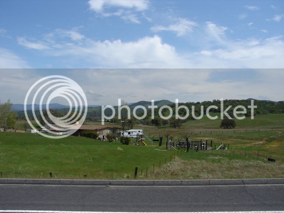
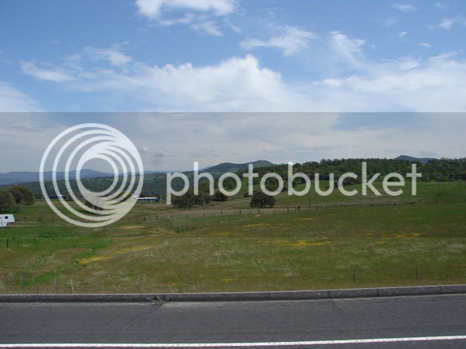
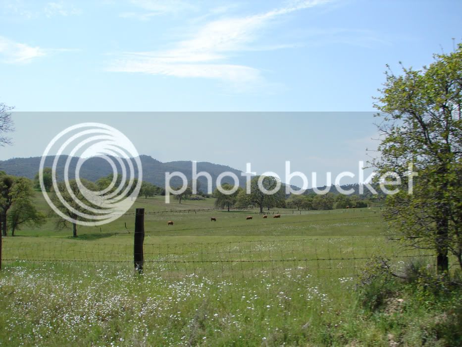
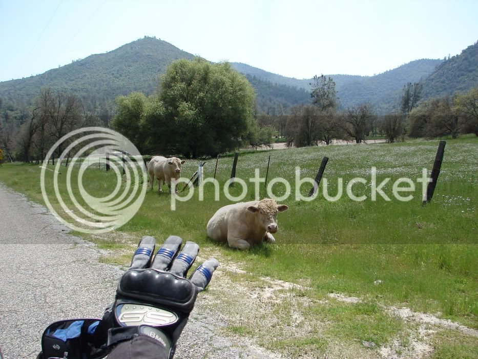
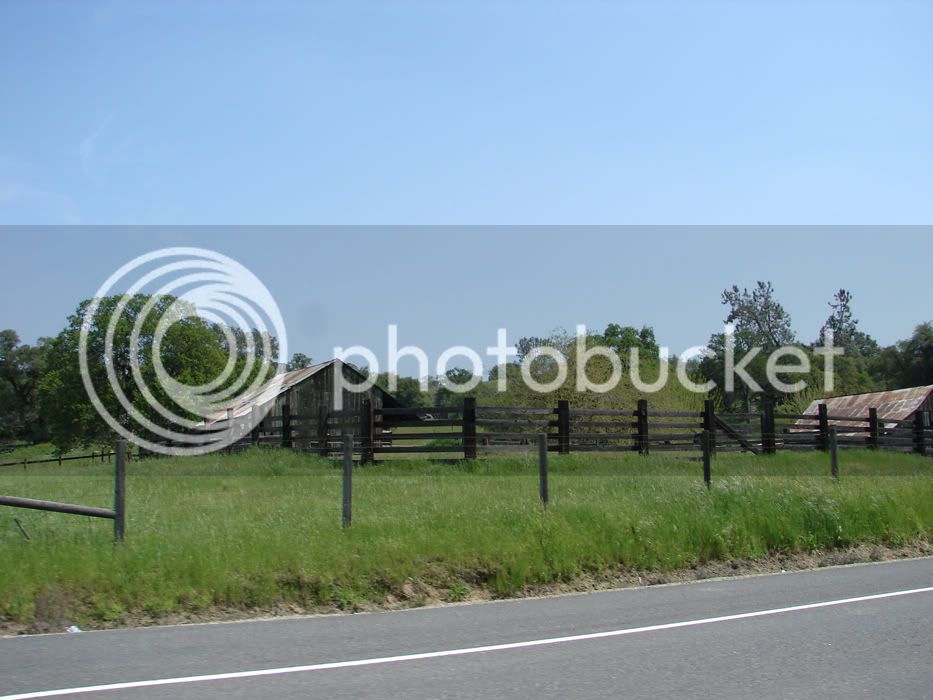
Where the deer and the antelope play...


Looking into the Central Valley from atop Hwy 33...
Looking west, back into the oil fields off of Hwy 33, somewhere north of McKittrick, Gee, wada purty bike...
Looking east, toward Fresno on 33 and the gathering storm clouds...
Where the deer and the antelope play...
Last edited by a moderator: