1,100 Southern Colorado Tour in 2 Days

Yamaha FJR Motorcycle Forum

Help Support Yamaha FJR Motorcycle Forum:

This site may earn a commission from merchant affiliate links, including eBay, Amazon, and others.

SaharaJp99

Well-known member
Joined
Oct 31, 2010
Messages
166
Reaction score
0
Location
Northern Colorado
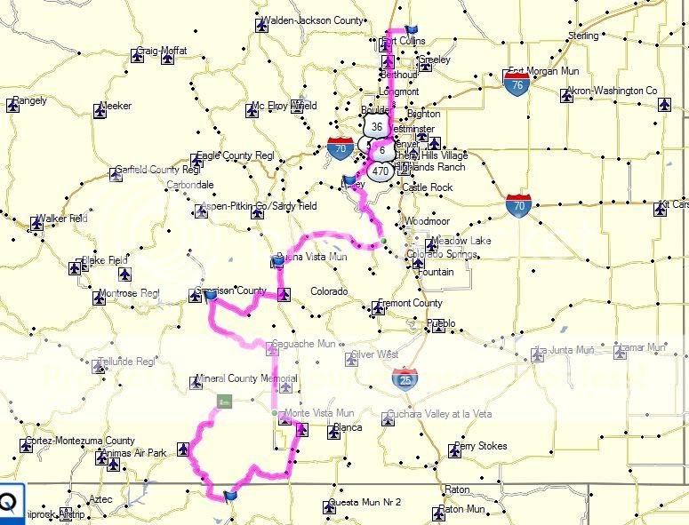
After reading spoilsport’s Farewell to Winter Tour and seeing a part of the state of Colorado that I had not spent much time in I started putting a route together to do last weekend 4/2 and 4/3 in that same area. I was hesitant on going on the trip as hotels seem to be ridiculously expensive down there, but after talking with a colleague he said him and his wife were going to go down the Great Sand Dunes that weekend as well and were willing to split a room. Perfect! Save quite a bit of money there. After some searching online, I found the Foothills Lodge and Cabins in South Fork, CO. They had off-season specials and we were able to book a two bedroom cabin for $59. Score! $20 apiece and we are set on that aspect.

So Thursday night I planned a route out in Map Source and Google maps, and did some fine tweaking (apparently not enough) on Friday night, loaded the routes in the GPS, got the bike all packed up and went to bed about 11pm.

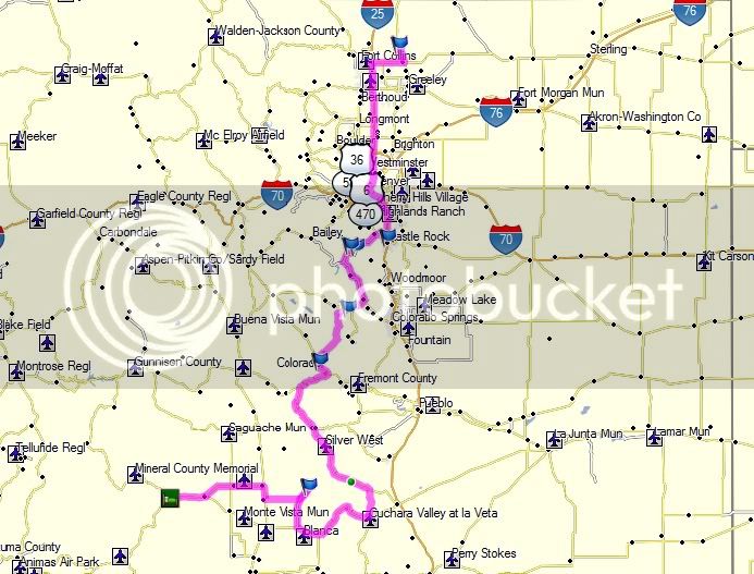
Day 1:

DayoneMap.jpg


Woke up about 5:15, took a shower, got my gear on, fed the dog, loaded the last bit of gear onto the bike and set out on the road.

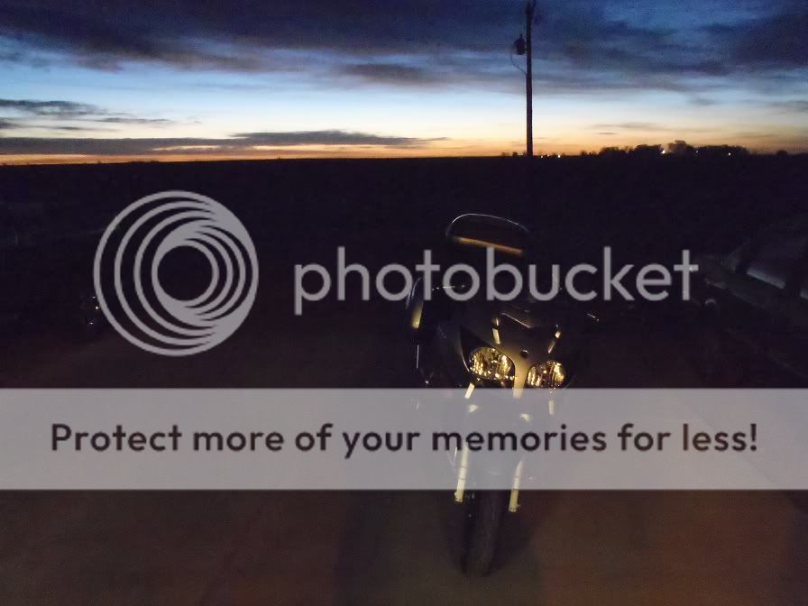
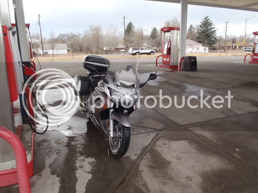
The bike all ready to go:

P4020253.jpg


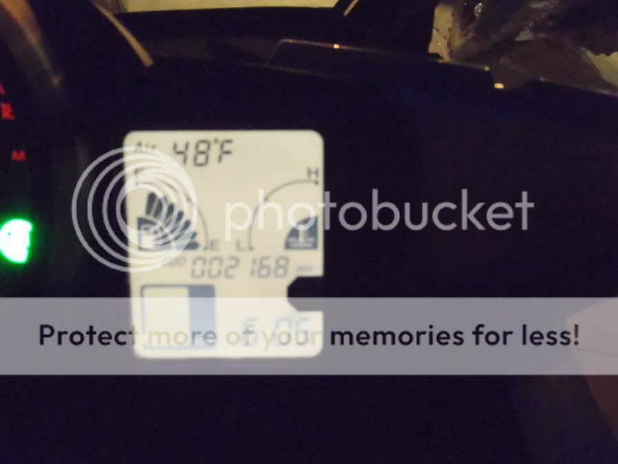
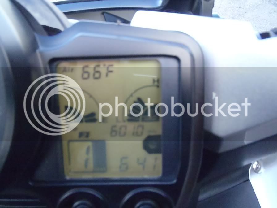
Starting mileage:

P4020255.jpg


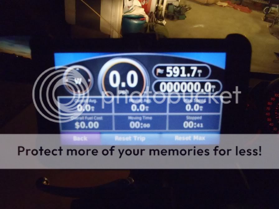
GPS:

P4020256.jpg


So, I headed on down the road. Took County Rd 100 from my house over to Wellington, CO to catch I-25 to transport man and machine down South quickly as I had some mileage to cover that day.

P4020259.jpg


Sunrise off of CR 100:

P4020262.jpg


Sunrise on I-25:

P4020264.jpg


Mountains from I-25:

P4020269.jpg


I took I-25 down to I-76 to I-70 to C-470 where I got off on 285 towards Bailey and where the riding starts to get fun.

285 coming into Conifer area:

P4020274.jpg


On this section of road the battery in my Warm ‘n Safe heated gear troller decided to take a dive. I knew it was low, and meant to replace it before I left, but ran out of time. So I packed the tools to change it on the road. In Conifer I found a King Soopers and pulled in to buy a battery for it and change it out. I had hard mounted the troller where the factory heated grip switch goes, so it took me about ½ hour to get it all changed out and up and running again.

It was at this stop that I first learned that the FJR is a COUGAR MAGNET! I had three middle aged women (disclaimer: I’m only 29, so knowing the demographic of this forum, they are probably younger than you, no offense. Also, no offense if they were any forum members’ wives.) come over to comment on how much they liked the beautiful FJR.

Back on the road again:

P4020277.jpg


In between Conifer and Bailey is County Road 126. I will be taking this until it turns into 67 and heads to Woodland Park.

The start of CR 126:

P4020278.jpg


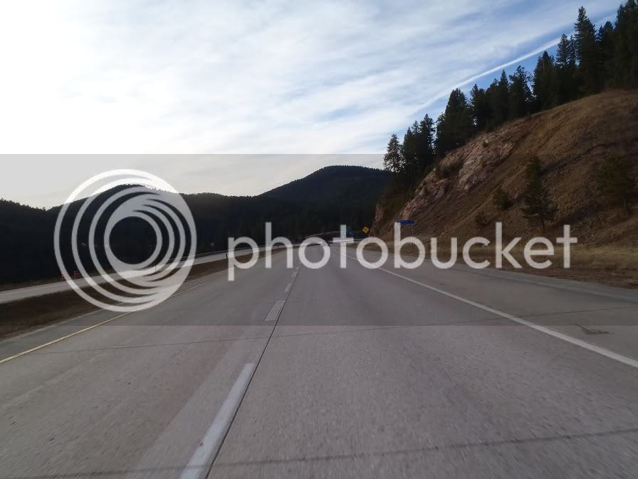
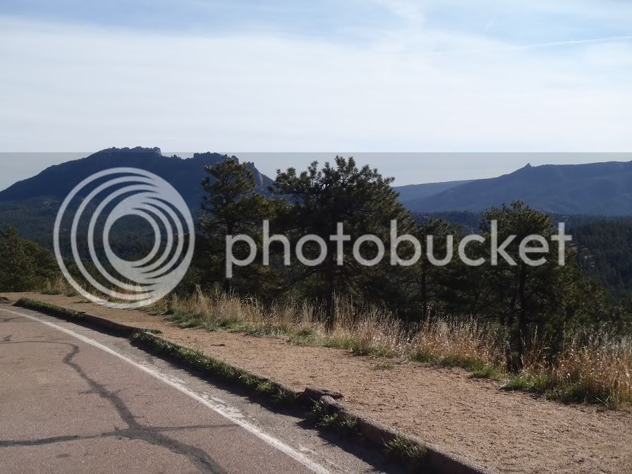
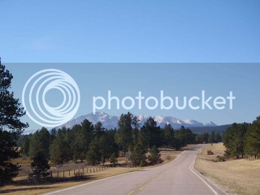
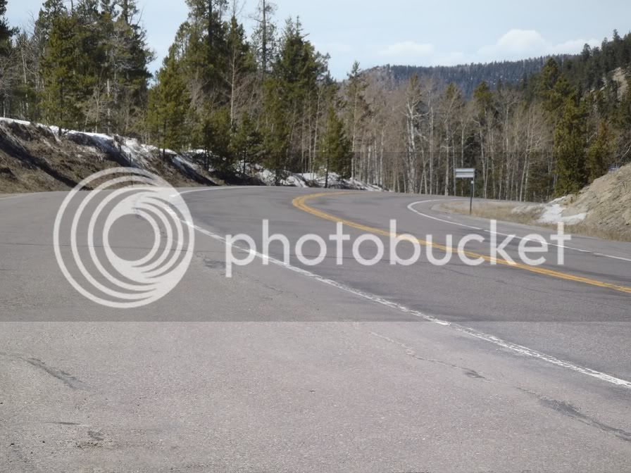
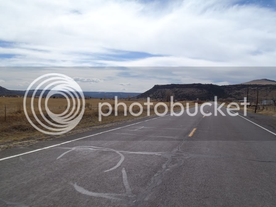
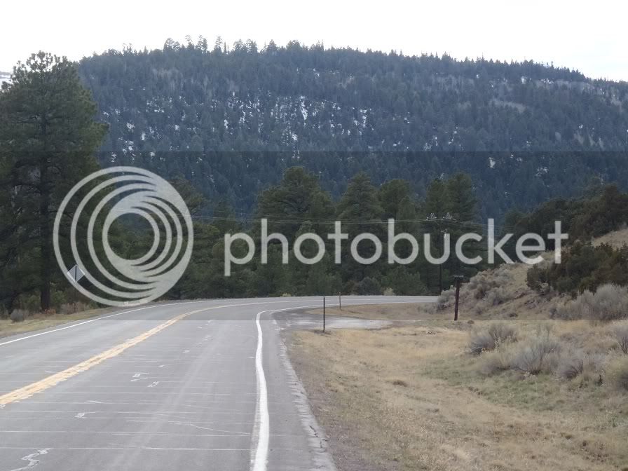
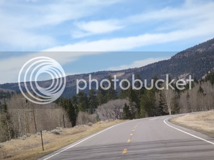
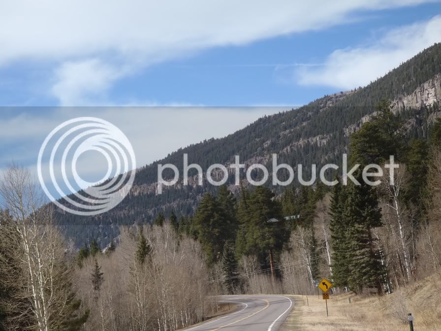
The combination of CR 126 and 67 is a rider’s paradise! Nice curves, pavement in fantastic condition, and some views that are hard to beat!

P4020283.jpg


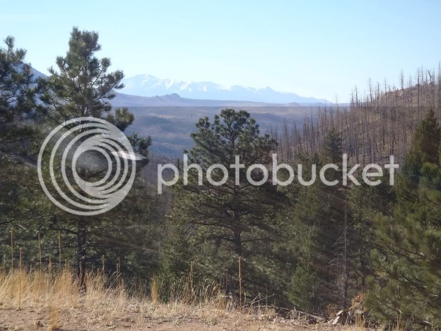
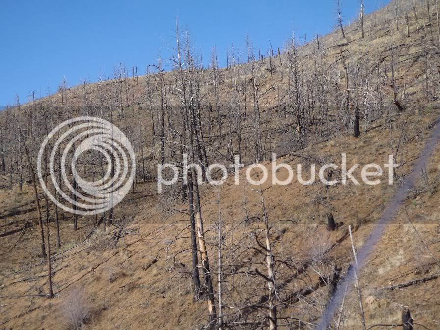
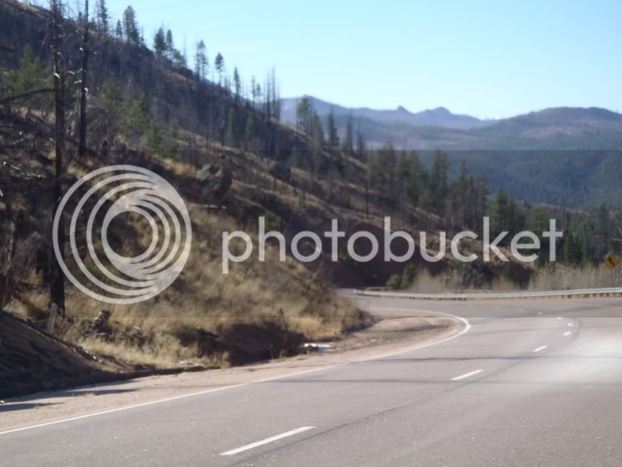
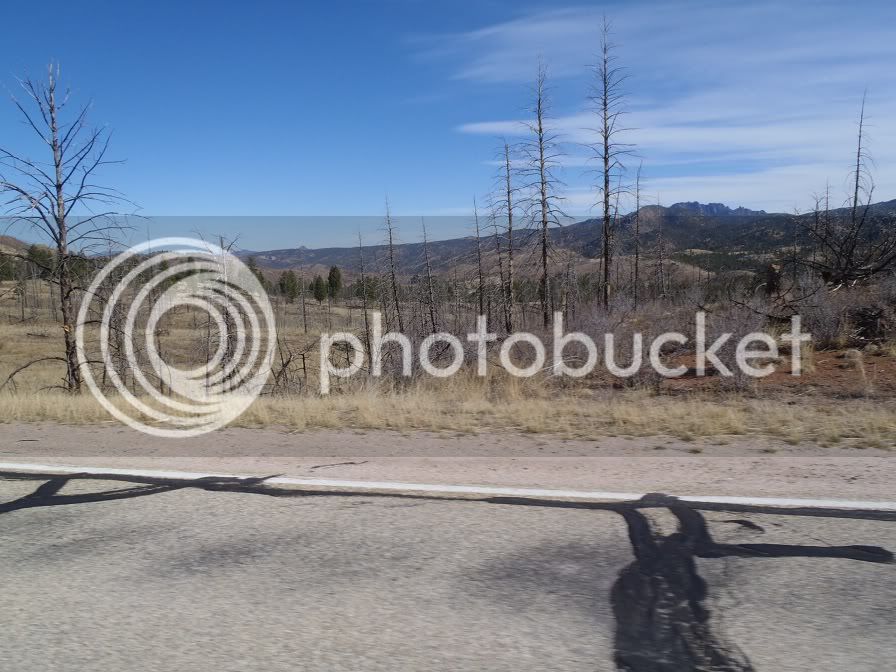
Coming down off of this pass there was a terrible fire several years ago and the burn area lasts for miles. Couldn’t have imagined what it was like when it was roaring.

P4020286.jpg


P4020288.jpg


There are some nice curves though!

P4020290.jpg


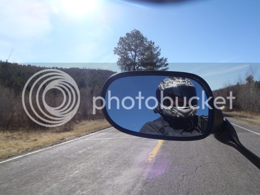
The helmet is blocking my ear to ear smile:

P4020294.jpg


P4020300.jpg


The burn area lasted forever.

Sometime before you get to Woodland Park the road opens up for awhile with the great views continuing.

P4020303.jpg


After I got to Woodland Park I jumped on Hwy 24 to head over to Buena Vista.

P4020310.jpg


Coming down Wilkerson Pass on 24:

P4020311.jpg


Cruising right along across the valley:

P4020330.jpg


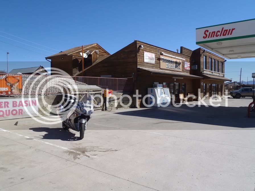
Getting Gas at Hartsel before joining back up with 285:

P4020333.jpg


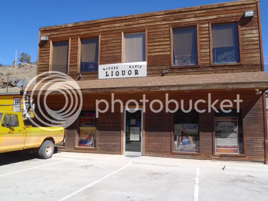
And a picture of the Liquor Store because, well, I like liquor.

P4020335.jpg


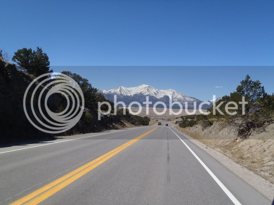
From here I met back up with HWY 285 to head over Trout Creek Pass and drop down in to Buena Vista:

Here is a picture of Mt. Josh. I’m sure it has a name, but I don’t know what it is and don’t feel like looking it up, so I am claiming it as my own until someone proves me wrong. Correctly identifying geographical figures was never a past time of mine.

P4020341.jpg


From here I followed 285 down to Poncha Springs to meet up with Hwy 50 to head up to Monarch Pass. The theme for the rest of the day was WINDY. Holy crap did I encounter some wind this weekend.

US 285:

P4020343.jpg


US 50 heading up to Monarch Pass:

P4020350.jpg


The road conditions on Monarch were surprisingly good. There was hardly any sand or gravel at all, and just a couple of wet spots from melting snow. It’s a fun road to ride and there was hardly any traffic on it at all.

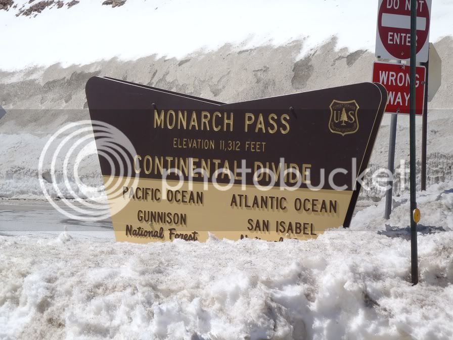
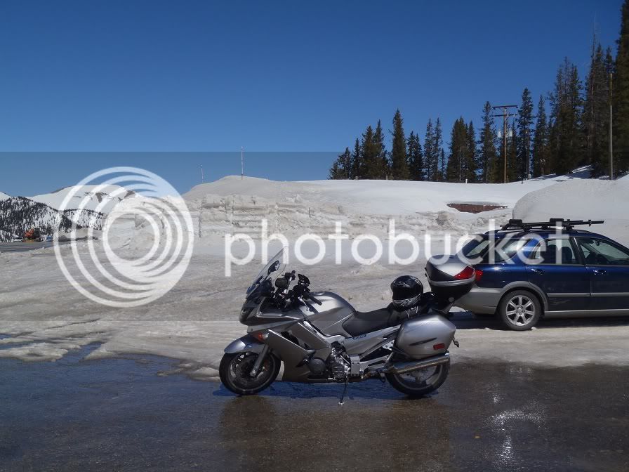
Monarch Pass Summit:

P4020367.jpg


P4020365.jpg


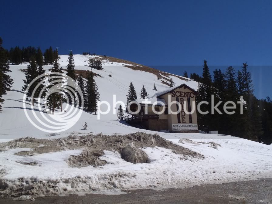
And believe it or not, there is a gift shop underneath all of this snow:

P4020366.jpg


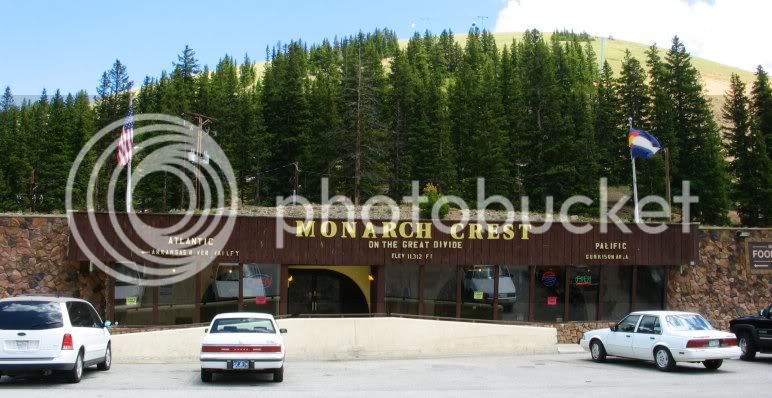
It looked quite a bit different from the last time I was there in July a couple of years ago when my Dad came out and we toured the Western side of the Rockies and Utah on our cruisers.

Here is a picture that I borrowed off of the net on what the gift shop looks like in the summer:

monarchgiftshop.jpg


From there I continued on 50 down Monarch to catch up to Hwy 114.

P4020372.jpg


This is the start of 114.

P4020375.jpg


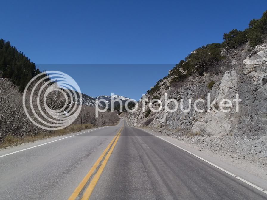
I didn’t get any pictures of the really fun twisty parts, because well, I was having fun in the really fun twisty parts. This is a great road that follows the Cochetopa River. There was no traffic at all and plenty of sweepers and corners to keep you entertained!

After you get out of the river canyon it opens up a bit before climbing Cochetopa Pass.

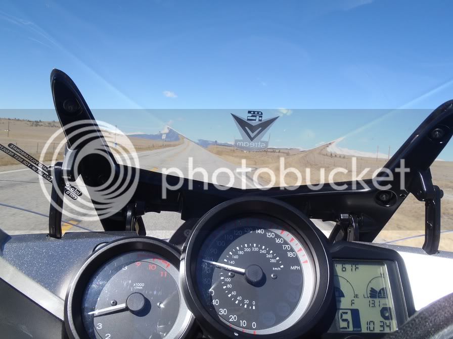
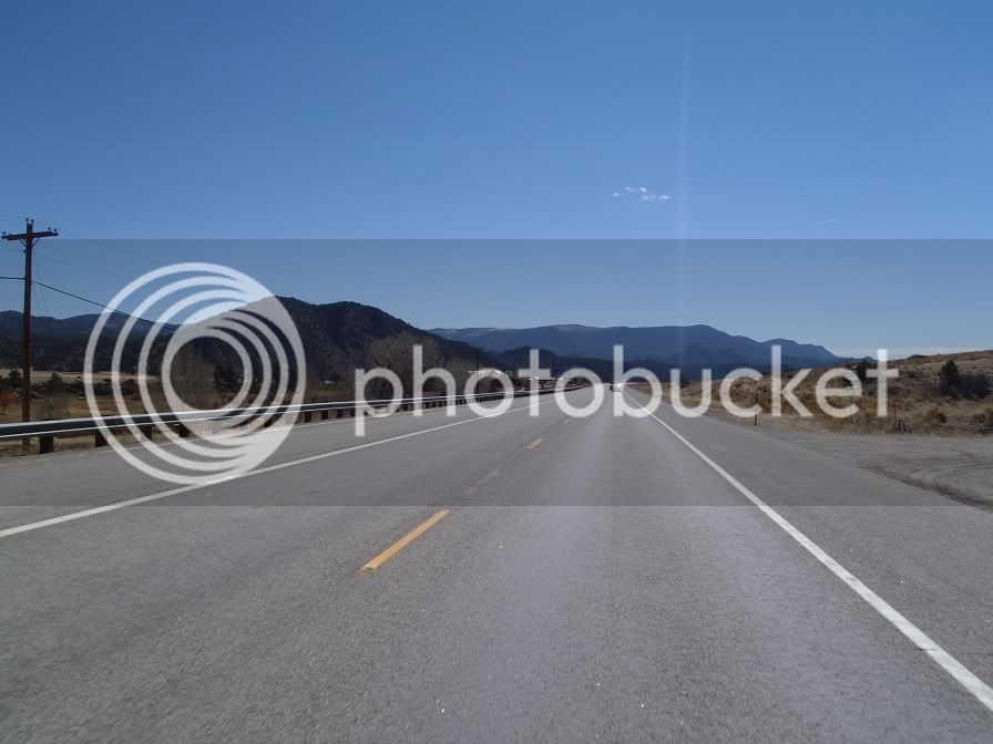
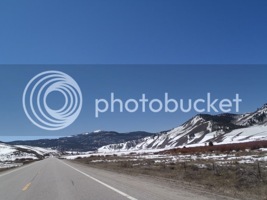
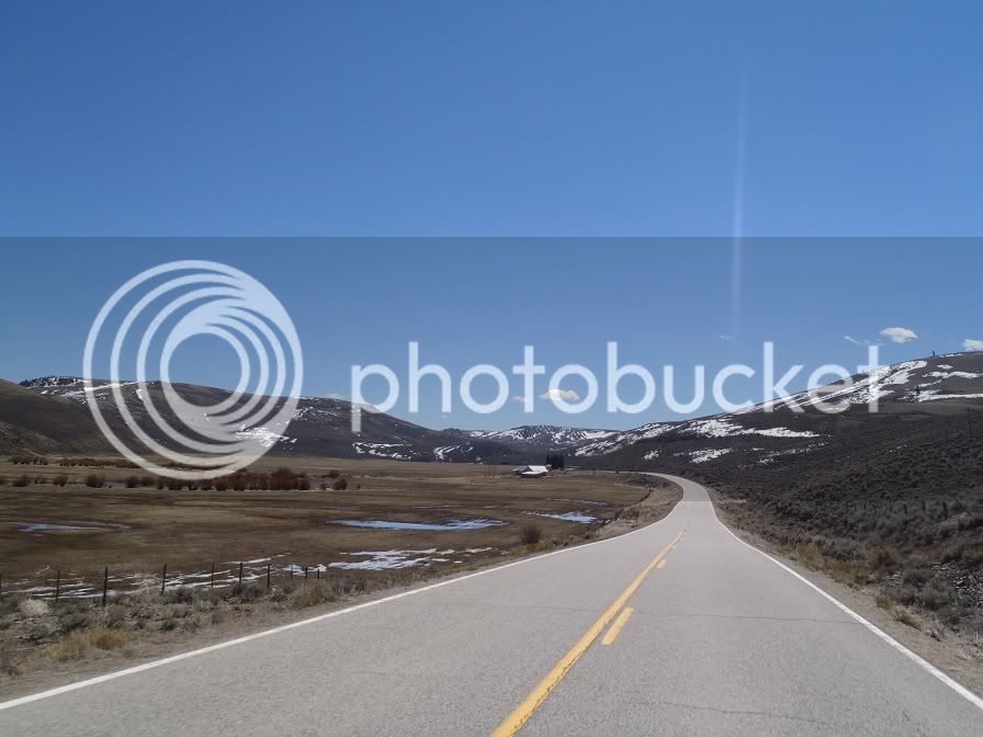
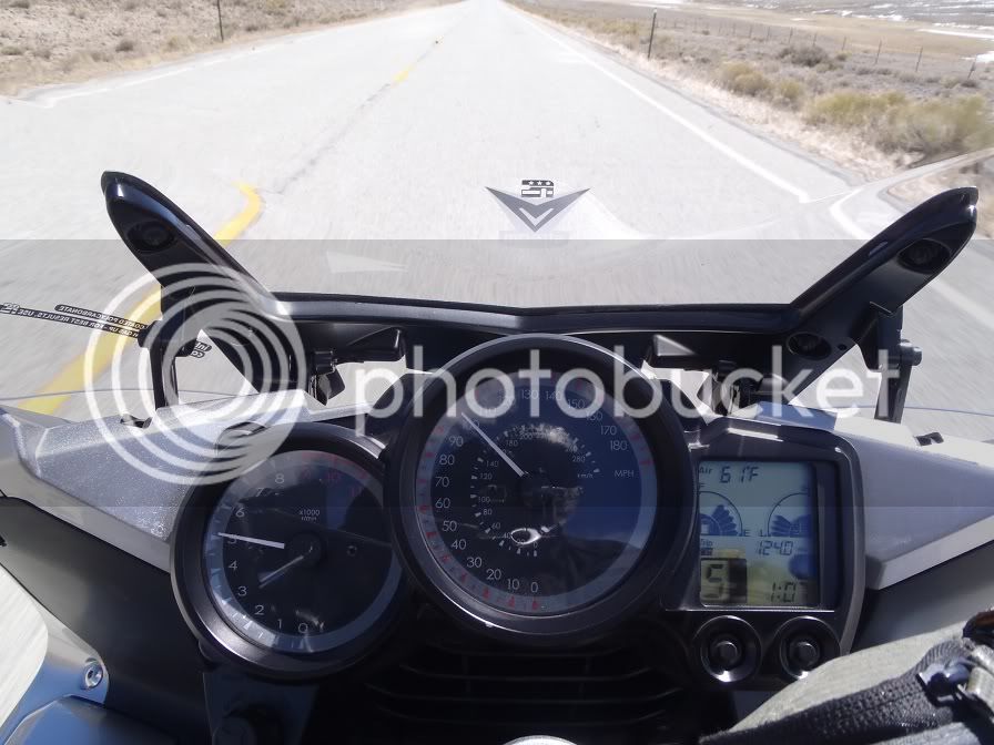
Plenty of room to let stretch out your legs

P4020380.jpg


(disclaimer: Mom, or any LEO’s out there, the speedo on the FJR is at least 30% off, I was really only going 65 or 70mph)

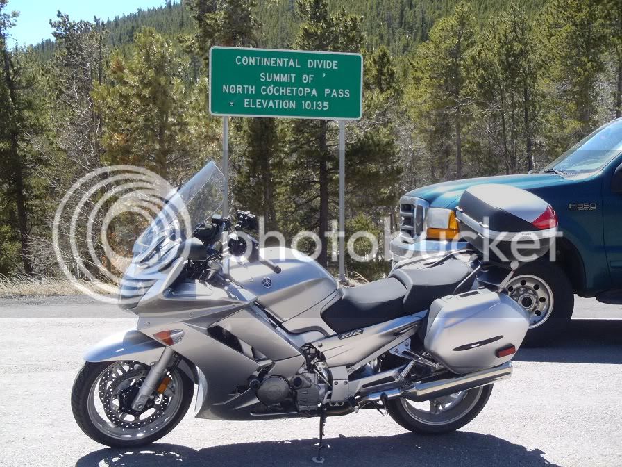
Cochetopa Pass:

P4020381.jpg


The pass was fun and curvy as well.

P4020383.jpg


From there it was a flat, straight road to Saguache, but hey, at least it was windy!

In Saguache I met back up with 285 and headed south towards Monte Vista. Flat as a pancake and windy as all hell as I made my way South. On this stretch of road I went to change playlists on my GPS and it decided to wig out and lock up. It was getting quite warm as well so I pulled off on the shoulder and shed some layers, unplugged the GPS and allowed it to reboot. My GPS mileage was off from here on out as it takes about 20 minutes for the GPS to fully reboot and be able to navigate again. I have an 8 gig SD card in there with about 900 songs on it and every time you shut the GPS off it has to re-read the entire SD card and while it is doing this, it will not navigate. I think I am going to cut my song list down a bit and get a 2gig card and see if that helps. But alas, the GPS didn’t record my mileage or track for about 30 miles, until I almost got to Monte Vista.

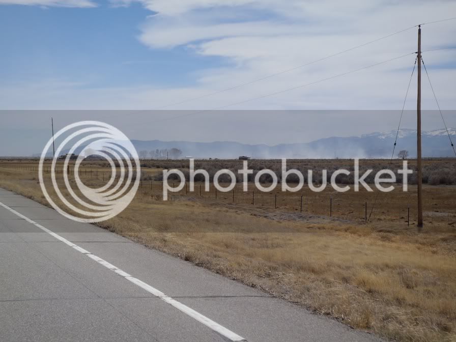
Did I mention that it was windy!

P4020388.jpg


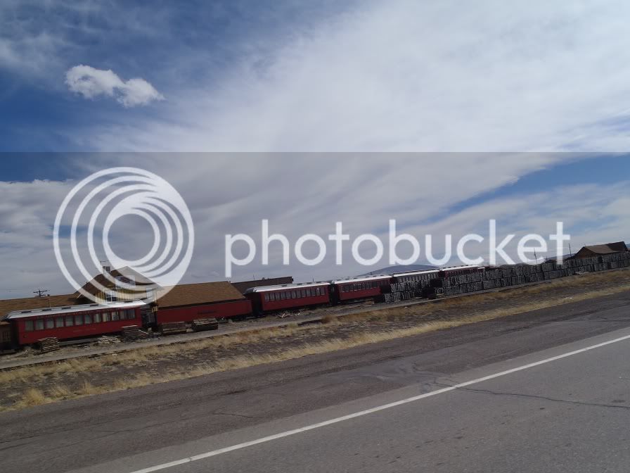
I am pretty sure that every out of service rail car in the country ends up in San Luis Valley. Seems like every town down there has a rail graveyard.

P4020393.jpg


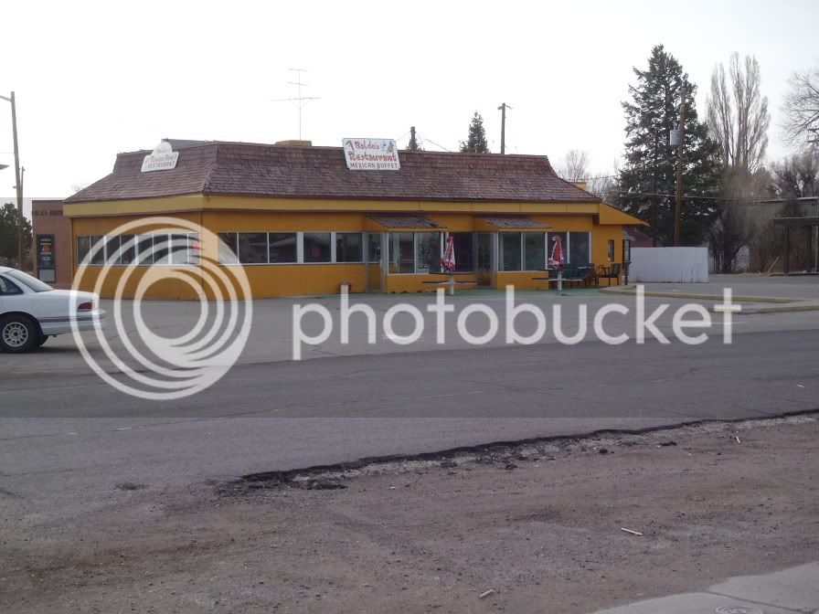
In Monte Vista I stopped for lunch (it was about 2:30pm, so a late lunch) at Baldo’s Mexican Restaurant. I was a little leery of the place, but it was by far the busiest place in town so I went in. They were a buffet type restaurant and I was pleasantly surprised. Very good Mexican food, if you are ever in Monte Vista definitely give it a stop. Sorry, forgot to take the camera in so no food pron. After having a chili relleno and an enchilada I got back on the road.

I forgot to get a picture of it while I was there, but rode thru there again the next morning so here is a picture of the place at 8am:

P4030456.jpg


After lunch I continued south to Alamosa and got fuel. After fueling up I continued on 285 South to Antonito to meet up with Hwy 17. Again, flat, straight, windy roads going thru a half dozen or so half deserted towns.

Now on to Hwy 17. OOhh Hwy 17. I love you. This has got to be one of the best kept secrets in Colorado in New Mexico. You’ll soon see why.

Just outside of Antonito on 17 heading towards the canyon:

P4020399.jpg


Entering the Rio Grande National Forest:

P4020402.jpg


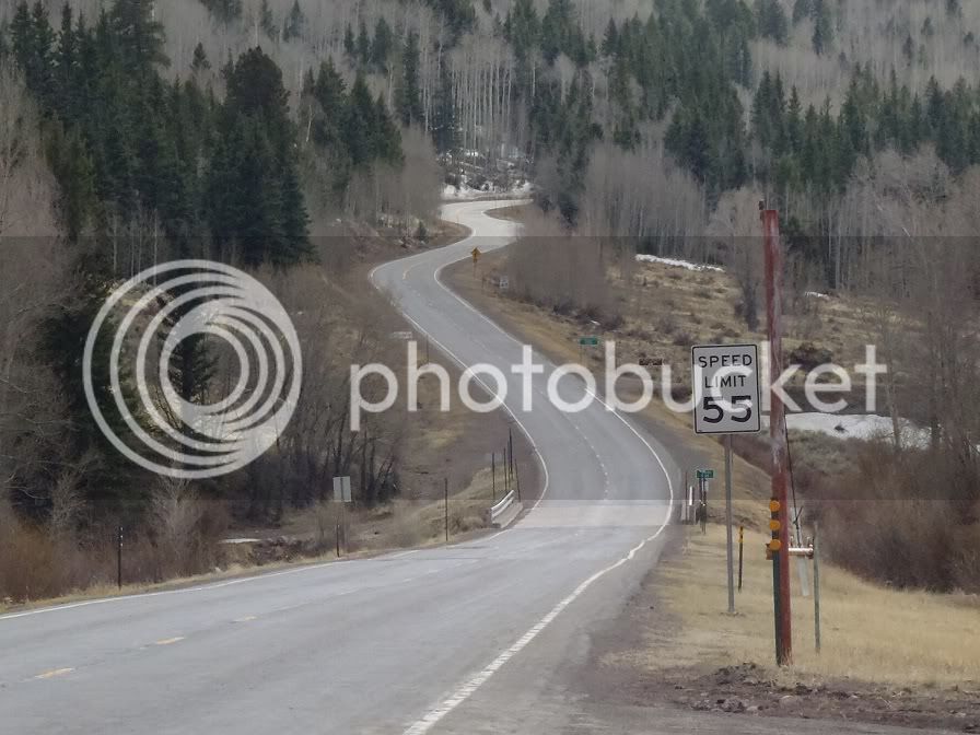
The speed limit is 60 here. Yes 60mph!!!!

P4020407.jpg


P4020408.jpg


So I continued up this Godsend of a road and then the battery on my Sena died. It was 4:00pm. Not bad, it had lasted a full 10 hours with music playing 100% of the time. So I saw a pull off with two guys on Harley’s parked there so I pulled in to plug in the Sena. You can use it while it’s charging and it comes with a nice long coiled 12v cord. So I am on cloud nine at this point, pull up next to the Harley guys and first thing out of my mouth was “CAN YOU BELIEVE THIS ROAD!!!!” They kind of looked at me funny and chuckled and said yes it was nice. I asked where they were from and they lived in that canyon just a couple miles up the road, so they weren’t as impressed as I was. So, I shut the bike down and the windshield auto-retracted. This got their attention. They came over and started checking out the bike and we talked about it for awhile, the one guy looked at my Givi and asked, “what’s a monkey system?” The puzzled look on my face must have been apparent. “He points to the side of the case where it says “monokey system”. I’m, like, “Oh, its MONO Key, as in, one key opens it and removes it” and show them how it works. So they ask me where I am going and I tell them and they look at me like I’m nuts cause it’s about 115 more miles and its 4pm. I just shrugged and said, I’ve already ridden 485 miles today, what’s another 115. Anyways, nice guys, fun conversation.

So, I mount back on my trusty steed and this is what lay ahead of me:

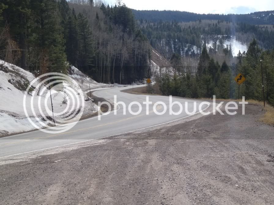
P4020410.jpg


At this point I thought I had died and gone to motorcycle heaven! This is the start up La Manga Pass. One of two passes you go up in a very short time on this delightful road.

P4020412.jpg


You come down this pass and then head right back up Cumbress Pass. This road is such a delight. In between the two passes is a big snowmobiling area and probably saw about 20 snowmobiles out playing on the hills. I am a backcountry snowmobiler as well, so I was slightly jealous, but I was having two much fun on the Feej to get too jealous. I was snowmobiling at Buffalo Pass just a couple weeks ago so and got in about 10 days of sledding this winter, so that itch has been scratched. It’s motorcycle season now baby!

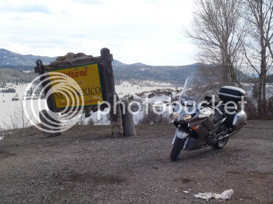
Coming down the pass you drop into New Mexico:

P4020414.jpg


From here I followed Hwy 17 down to Chama, NM. The road wasn’t as curvy, but the scenery was great, and Chama looked like a very nice interesting little town and if I had had more time I would have liked to stop and check it out.

At Chama I caught up with Hwy 84 and started heading back to Colorado. Hwy 84 was a fun road as well with some great sweepers.

P4020421.jpg


And back into Colorado:

P4020423.jpg


The views are nice coming back into Pagosa Springs:

P4020425.jpg


From Pagosa Springs I headed East on 160 to Wolf Creek Pass.

Wolf Creek pass is another must do road. Great corners and fantastic views!

P4020437.jpg


I little waterfall of snow runoff:

P4020439.jpg


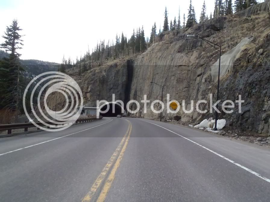
One of two tunnels on the pass:

P4020441.jpg


From here I took 160 down to South Fork which is where I was meeting up with my colleague and his wife and spending the night.

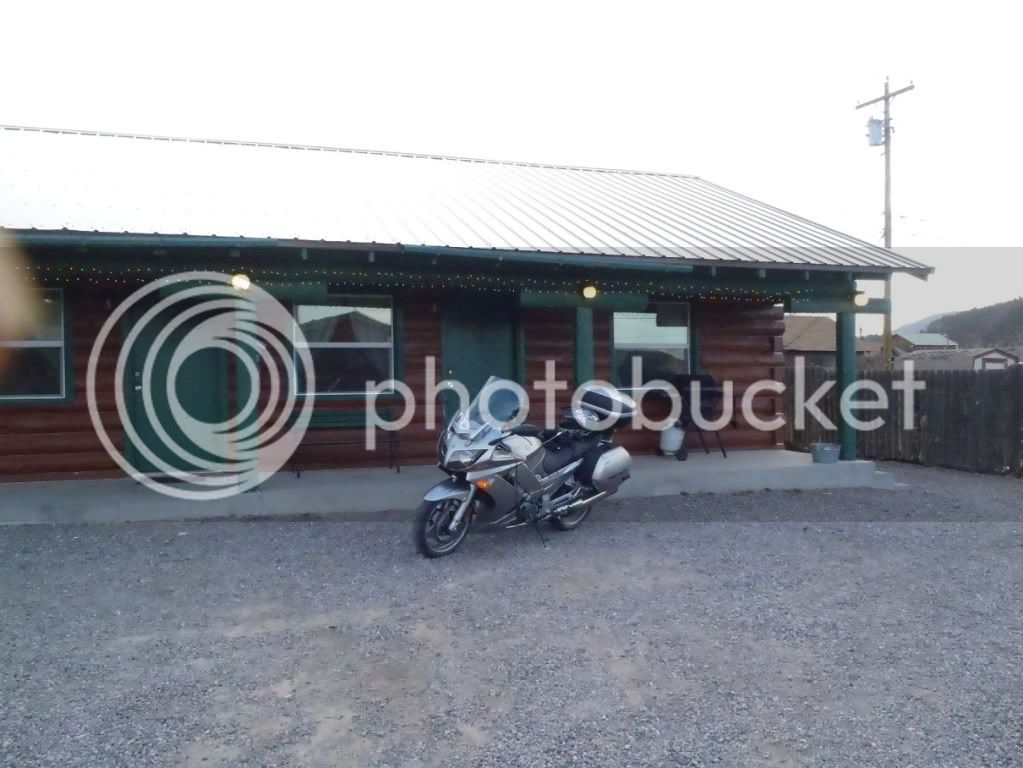
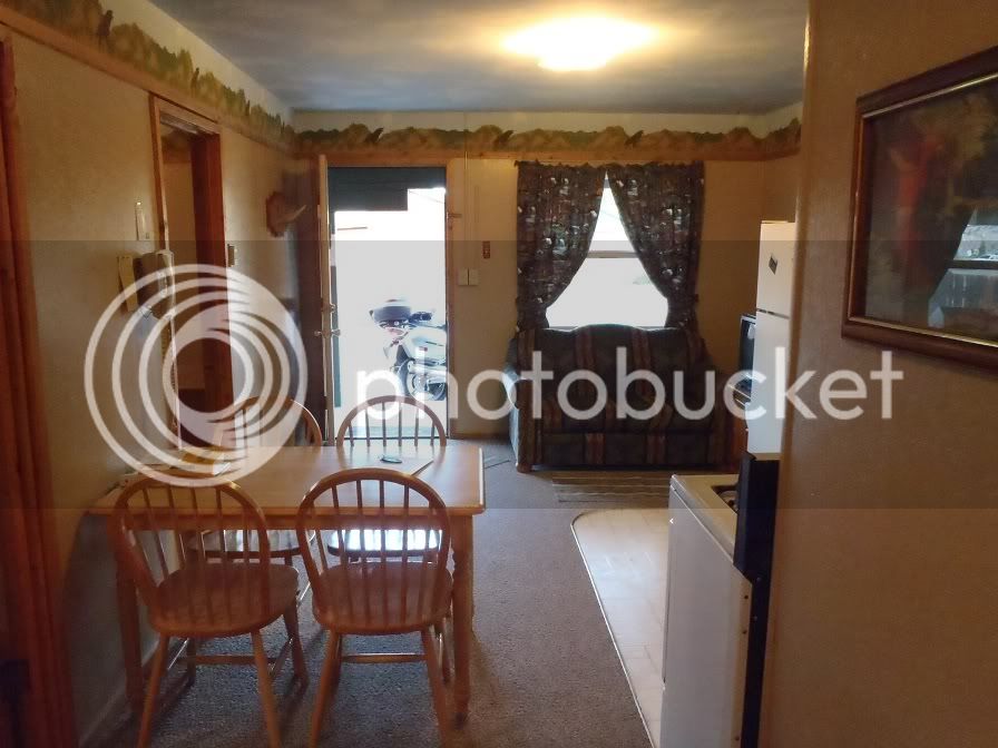
Our digs for the night at Foothills Lodge and Cabins:

P4020445.jpg


P4020450.jpg


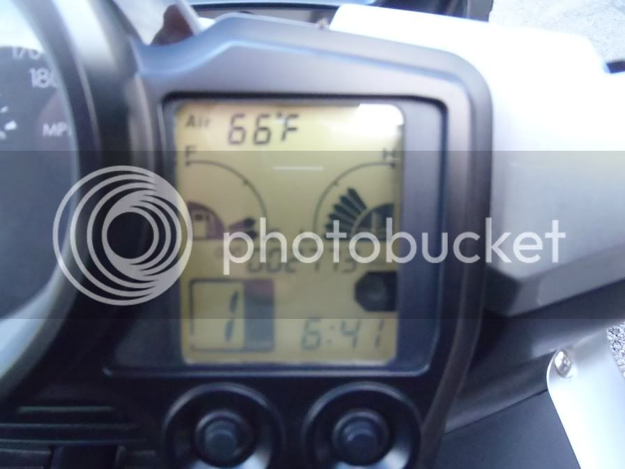
Ending mileage:

P4020443.jpg


Day Trip meter:

P4020442.jpg


From here I went to a restaurant called Biggins next door to the lodge, had a Sunshine Wheat and a pretty darn good Rueben sandwich and chatted with the barkeep from LA. Nice bar restaurant, definitely worth checking out if you are in South Fork. After dinner, I went back to the lodge and met up with my colleague and his wife, drank a few 7 & 7’s, talked about both of our adventures of the day and called it a night around 11:30pm.

Stay tuned for day 2: a little teaser, big sand dunes, a dropped FJR, more passes, more wind, great roads, a big bridge, more cougars, then ending with snow, ice, rain and more wind. Oh yeah, it was cold too!

 
Great ride report, thanks for sharing. I grew up in Colorado Springs and miss it more and more all the time.

 
Great story and pics. I've hit a few of those roads on past tours on the BMW...can't wait to get back there again this fall on the FJR when the leaves are changing color. Highway 17 from Antonito to Chama is just spectacular when the foliage is at peak color. You're right about 114 south of Monarch Pass; too much fun in the twisties to waste time taking pics.

On your next installment, please include photos of any cougars you encountered. Remember, be kind to the "wildlife"...tag and release.

 
Hey, way to get inspired! Love your report. Haven't been on the Chama Hwy 17 leg, but I've been eying it and will definitely check it out now. I really like that ride through Deckers, too. Sorry Josh, the majestic mountain is Mt. Princeton, 14,197 ft., as seen riding west from Trout Creek Pass. I know it well as I've been on its summit twice.

 
Excellent report, esp from a "new guy". Well done :clapping: :clapping: :clapping:

On your next installment, please include photos of any cougars you encountered. Remember, be kind to the "wildlife"...tag and release.
:lol: :lol: :lol:

 
Love the report. :clapping:

BTW, Mt. Josh is one of the Collegiate peaks I believe. Mt Harvard/Princeton/or Yale I believe...not CSU I don't believe. ;)

Thanks for writing it up and adding all the photos...I've ridden some of those roads and am always looking for new ones to ride.

 
Thanks everyone for the kind remarks. Guess I should have proof read this thing before I posted. Jebus, I couldn't even get the title right. Oh well, you'll have to forgive me.

I knew it wouldn't take long for someone to knock me off my pedestal and claim my mountain back!

And Wheaton, CSU owns all the mountains I have been on in Colorado, sorry to let you down, as a student there I participated in claiming all of them for CSU. Something kind of like a dog marking its territory. As an alumni I am still on the quest to claim them all.

On your next installment, please include photos of any cougars you encountered. Remember, be kind to the "wildlife"...tag and release.
Haha! That's great, unfortunately I didn't get any pictures of the "wildlife" as I was busy sticking my nozzle...............er, uh, filling my bike up with gas.

I'm going to start on day 2 now, hopefully have it posted tonight.

 
I just got a report from a co-worker that truckers were given high wind warnings that weekend in the same area you were riding. He said the wind was so loud in his car even with the windows up that he couldn't hear his radio. You weren't kidding when you said it was windy!

 
Day 2:

I woke up about 6:15am, took a shower and started packing up my gear. My colleague, his wife and I were planning on getting some breakfast at the restaurant next door, but by 7am I was all packed and ready to go. She was still sleeping so I decided to head on down the road as it was already drizzling, and the forecast for San Luis Valley was clear, so I wanted to get out before the rain set in, I’d just get breakfast on the road. So, I said my farewells to Jake, my colleague and headed out.

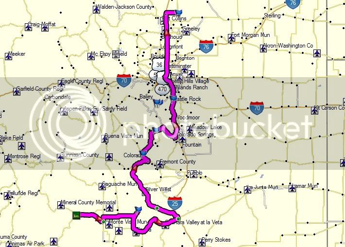
Day 2 supposed to be map:

Supposedtobeday2map.jpg


Day 2 actual map:

ActualDay2.jpg


Starting trip meter for the day:

P4030455.jpg


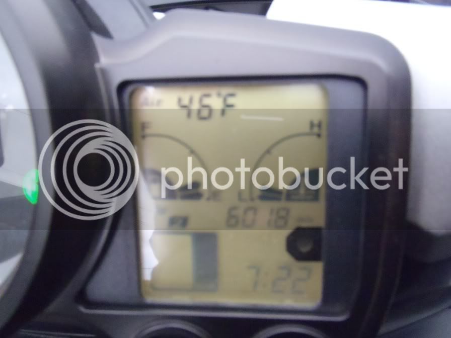
Starting mileage for the day:

P4030454.jpg


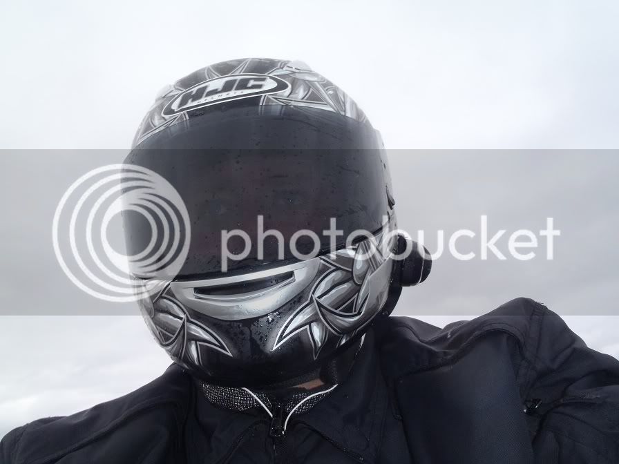
As I headed out of South Fork I swear it was drizzling mud. It was drizzling just hard enough to cover me, the FJR, and especially my helmet visor and windshield with a nice mud coating. I cruised East towards Del Norte on Hwy 160. As I pulled into town and made the left turn on CR 112 to head up North to go to the Great Sand Dunes I decided I better turn around and get gas as there was nothing between there and the Great Sand Dunes via the county roads. While I was filling up I decided that I wanted some breakfast. I also decided that I should have breakfast in Monte Vista as I forgot to take a picture of the Mexican restaurant I had lunch at the day before. Kill two birds with one stone, and it really wasn’t that far out of the way. The decision was made, Jill could be cranky and recalculate all she wants. I’m going to Monte Vista.

I ride in to Monte Vista and snap a picture of the restaurant posted yesterday. Then I venture further down not seeing much open, and I see one of the gas station attendants at the Love’s station outside sweeping the sidewalk. I pull up and ask him if there are any good breakfast places in town. Just as he’s about to give me a response, Jill decided to pop into the conversation. “Recalculating, turn blah blah blah”. Poor guy probably though I had a bee inside my helmet or something as I reached for the jog dial on the Sena to turn down Jill. Anyways, after I could hear again I asked if he could repeat himself. He said there are only two places in town, the Best Western and the Mountain View Restaurant. I thanked him and was on my way. Well, the Best Western didn’t sound like much fun, so I headed to the Mountain View Restaurant. Turned out to be a very good decision. Although I forgot to get a picture of the restaurant again.

I pull up to the restaurant and walk in, order some coffee and take a gander at the menu. Typical breakfast menu, but I was feeling some biscuits and gravy this morning. Now these people know how to make some biscuits and gravy. They don’t just take a biscuit and put gravy on top of it, no, they make two sausage biscuit sandwiches and poor gravy over that! Way too much food and only $5.99. Fantastic! Lucky for you people I remembered to take a picture of the food, although after I was done, so you only get to see a ¼ of what was there:
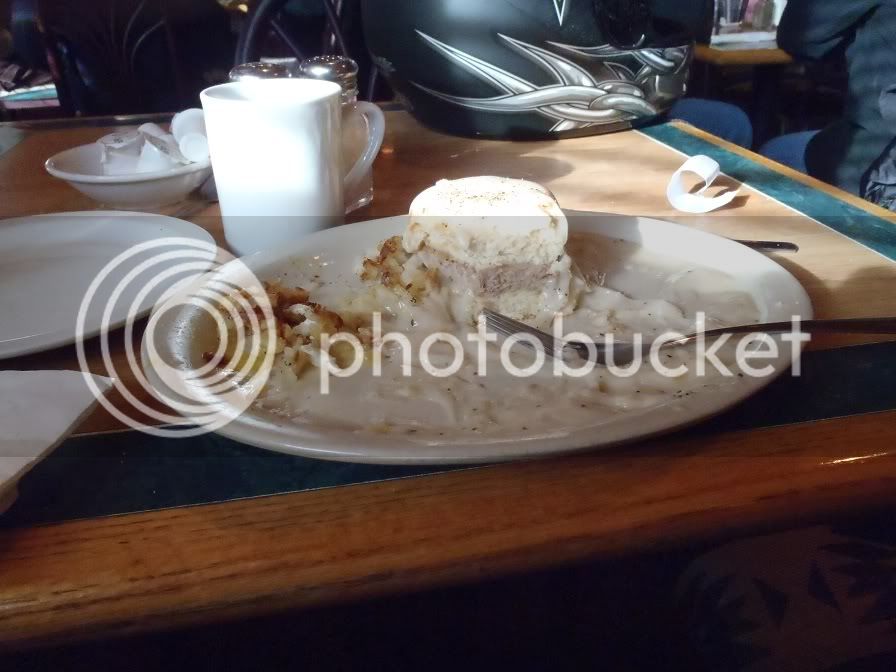
P4030458.jpg


As I was cleaning the visor of my helmet waiting for the check, one of the gentlemen sitting at the table next to me asks where I am heading. We talk for a bit about the ride I was doing and then he said, be careful when you get near Ft Collins, there is a big fire behind Horsetooth Reservoir as the smoke is supposed to be terrible. I start to think, that’s bad, that’s my boating spot and I have several buddies who live up behind the marina up there (turns out they are fine). Looking back, I wish the only challenge I had to face for the day was limited visibility due to smoke.

I suit up and get back on the bike and head North on 285 to catch back up to CR 112 to the satisfaction of Jill.

CR 112 is a completely flat stretch across some of the farm country in San Luis Valley. I enjoyed the ride, as I work for a John Deere dealership group and always enjoy checking out the farm grounds and machinery. Shortly I meet back up with Hwy 17 and follow that down to CR 6A. CR 6A is out in the boonies, you could see for 20 miles and there wasn’t a soul on the road, and I had a 30mph tail wind, so, we cruised the rest of the distance to the sand dunes at a very comfortable legal speed. This time, the FJR speedo was a good 55% off so I was only going 65mph.

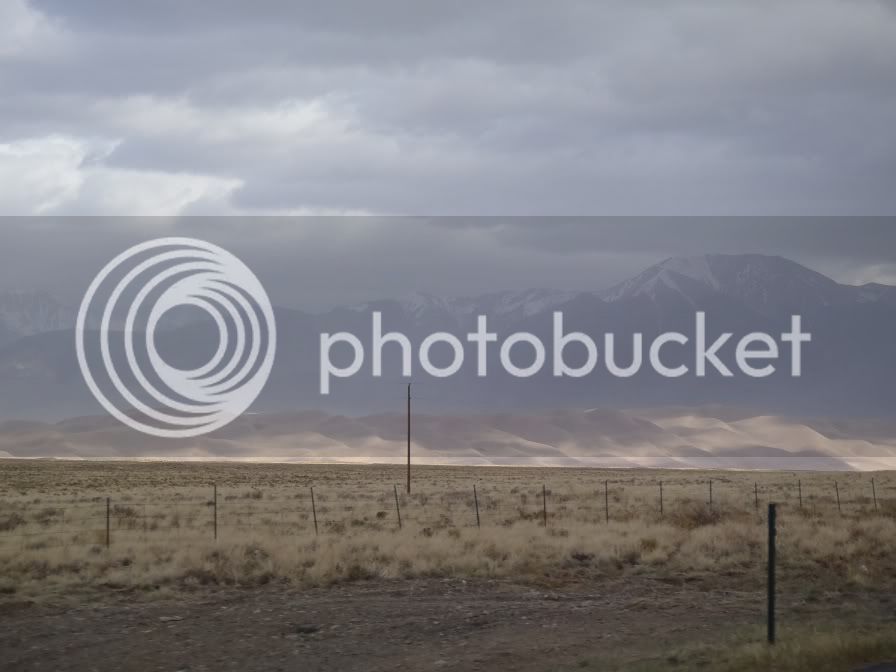
Soon we were approaching the Great Sand Dunes.

P4030459.jpg


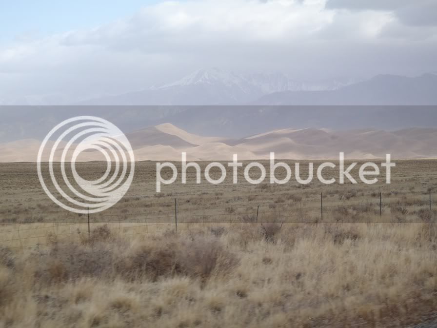
Then we got a little closer:

P4030461.jpg


And we made it!

P4030463.jpg


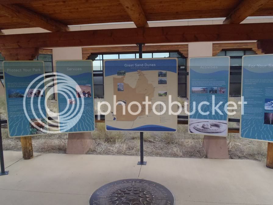
I hadn’t planned on going in the park as it was too windy to get too close to the dunes as there were spin drifts of sand coming off the top of them, that is unless you wanted to come out with no paint or skin left, but breakfast was wanting to make a hasty exit so I decided to go into the park and make a “visit” to the visitors’ center. When I pulled up to the gate it was only 9am, so the gate keeper booth was still closed and had a big sign on the window to pay when you left. So I pulled into the park, went to the visitors’ center and took care of business and took a look around as well. Neat place, I especially like the exhibit they had about the night sky and all the constellations you could see on a clear night out there.

View from the back of the visitors’ center trying out the panorama feature on my camera. Didn’t work out so well:
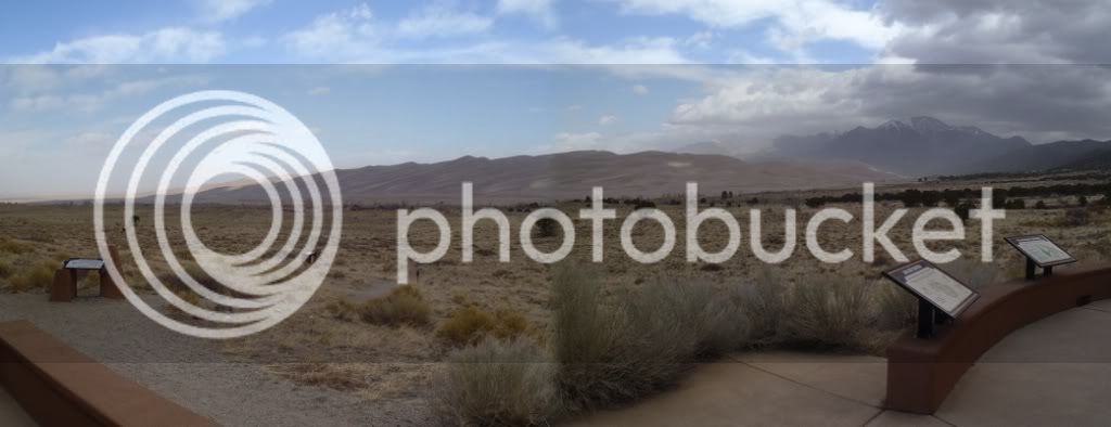
P4030466.jpg


So, since I was already in the park I decided to go down to the parking lot near the dunes to get a little better picture. I pulled into the gravel parking lot and pointed the nose of the Feej straight into the 30mph wind, pulled out my camera while straddling the bike. Just then a huge gust of wind came from a different direction. This is when being 5’8” and having a 28” inseam really has its disadvantages. I am on my tippy toes when straddling the Feej and that wind caught the side of the bike with a vengeance. I dropped the camera (it was tethered to the bars) grabbed the bars and try to stand it back up with all my strength, but it was too late, the loaded Feej was going over. I was fairly disappointed. I had never dropped a street bike in my life and I have really good balance with the Feej and have never felt unstable on it before, even on slopes while stopped, but I guess with the wind, and me not being ready for it was too much.

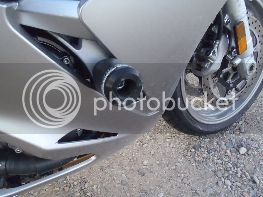
When I bought the bike, I soon learned that my height disadvantage might be a real disadvantage some day and purchased a set of OES frame sliders from the recommendations of people on this forum. THANK GOD! That was the best $80 I have ever spent. I don’t know if it was adrenalin or what, but when the bike was on its side I had it shut off and back on its wheels in about 3 seconds. I was surprised how easy it came back up. It fell on its right side, so I turned the bars all the way to the right, put my right hand on the handle bar and my left hand near the sub frame in the back and got in the squat position and she stood right back up. WHEW!!

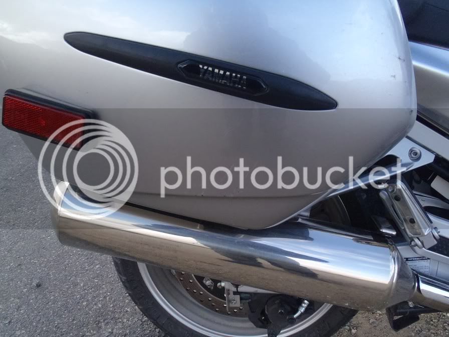
The resulting damage, not bad, couple scrapes on the bag, and some small dents on the bottom of the exhaust, faring was completely undamaged:

P4030469.jpg


P4030470.jpg


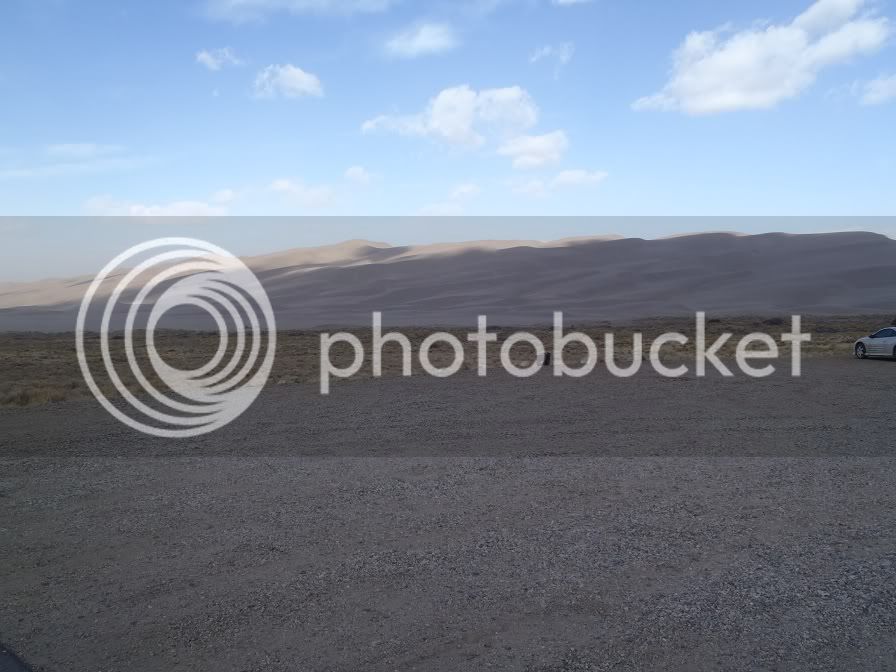
All because I was trying to take this picture:

P4030471.jpg


After that I decided to get the hell out of there and back up to speed where I can manage the wind better. I stopped at the gate on the way out, as the ranger was now there, and pulled up to the window. He opened the window and I told him that they were closed when I got here and I needed to pay my entrance fee. He said, don’t worry about it, be safe as it’s windy (huh?) and asked if I wanted a brochure. Nice guy!

So I exit the park and head South on 150 to meet up with 160.

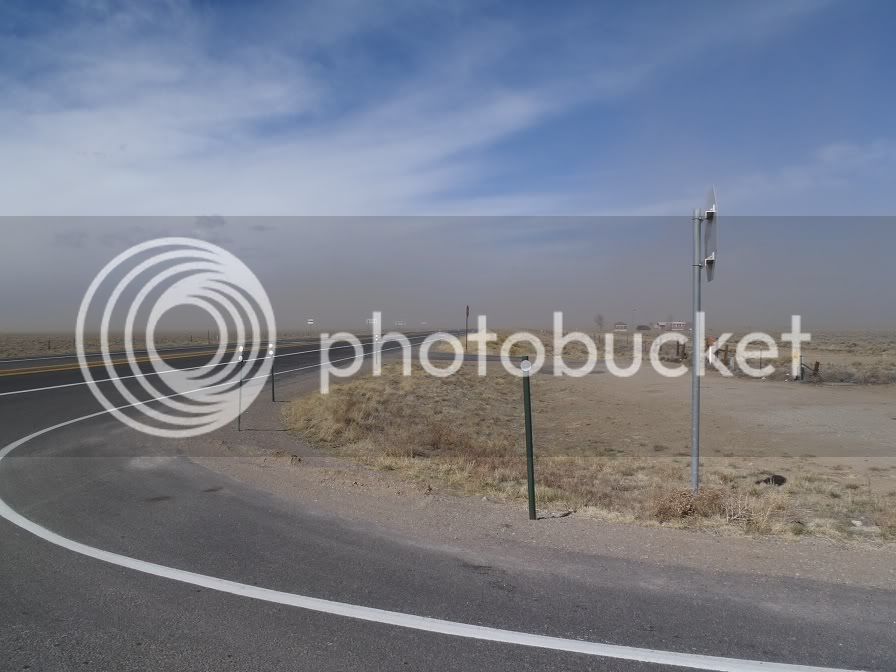
Yeah, it was still windy:

P4030474.jpg


From there I head East back into the mountains and over La Veta Pass. Didn’t get any pictures as I was busy counter steering into the wind the whole time, but there were still some fun sweepers coming over the pass.

This is the point where I should have spent more time checking my route out on Friday night before I left. Jill was intent on getting me to take a gravel county road between 160 and Hwy 69 to bypass Walsenburg. I checked the GPS and it was 14 miles. I live on dirt roads so I am not afraid to head down them, but this one had loose freshly laid gravel, and with the winds the way they were I didn’t feel it was the best decision, so I took 160 all the way to Walsenburg and caught up with 69 there via the paved route.

I headed Northwest on 69, and this would probably be a pretty fun road if I didn’t have a crosswind the whole time but it was a constant battle to keep the bike going straight, so it wasn’t the best road of the trip. It did make me want to have a dual sport at that point as I kept seeing signs for roads over the mountain range back to the sand dunes. I could see them climbing the mountains in the distance and they looked like they would be a blast to do sometime. Oh well, will have to wait until I get a BMW F800GS to add to the stable.

In Westcliffe I stopped to get gas and was again approached by the local “wildlife” (thanks Morecowbell, I’m using that term from now on). They had just come up the same way from Walsenburg and couldn’t believe I was crazy enough to ride a motorcycle in that wind. Well after with chatting with them for a bit I got back on the road.

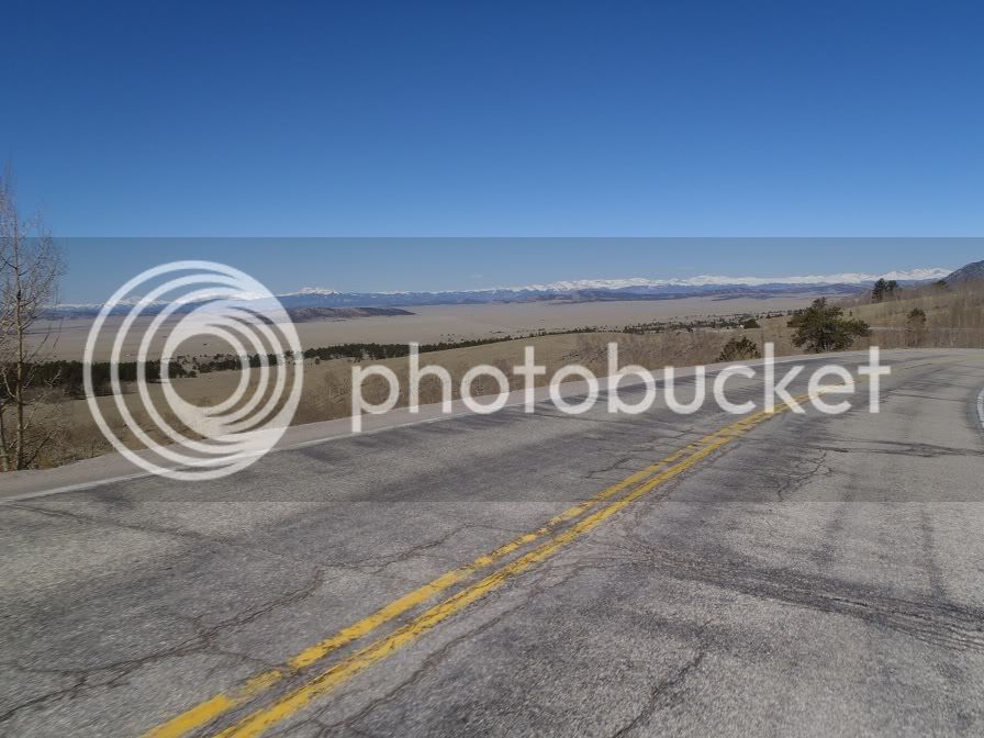
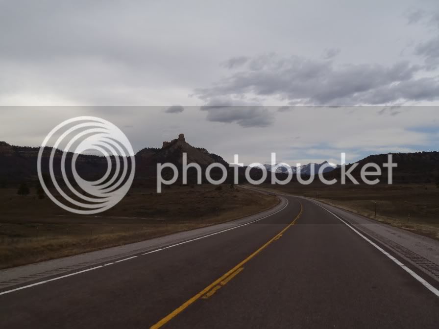
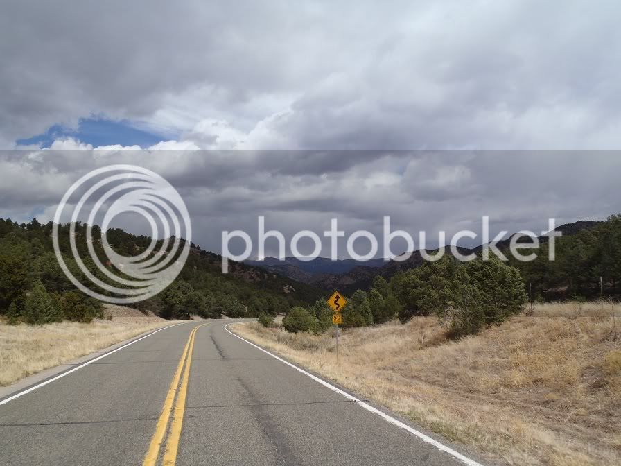
Once North of Westcliffe the terrain changed for the better in a hurry!

P4030477.jpg


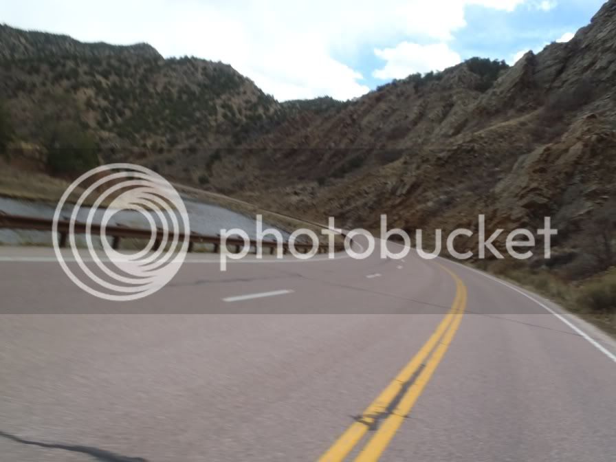
I continued to wind my way up this blast of a road all the way to Hwy 50.

Hwy 50 is a great ride as well, and I had never been up it before so I was thoroughly enjoying myself.

P4030482.jpg


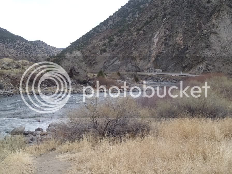
I pulled off the hwy at one of the stops to take some pictures of the river:

P4030484.jpg


As I was stopped I saw an SV650 all loaded up ride by and gave the rider a wave and he waved back. I would meet up with him again later. I got back on the Feej and continued down Hwy 50. As I was getting close to my next turn off to the North I saw signs for the Royal Gorge. How could I have not put that on my route! Of course I had to take a detour as I had never been there either, to the dissatisfaction of Jill. So I passed my turn off on Hwy 9 and went South on 3A to the Royal George.

What a tourist trap this place is! Reminds me of the Wisconsin Dells. So anyways as I am going up the road and looking at the GPS and see that if you cross the bridge 3A continues back to Hwy 50, so that was my plan…… until I got up there. They charge $25 to get into the area! I told the lady at the ticket counter that I wasn’t planning on being there more than 15 minutes and asked if they had a cheaper ticket that just allowed you to drive across the bridge. Nope, $25 to do anything. So I decided to head down to Parking lot B as it looked to be on higher ground and thought I might be able to see the bridge from there, and I sort of could, if you like looking at things like you are in prison:
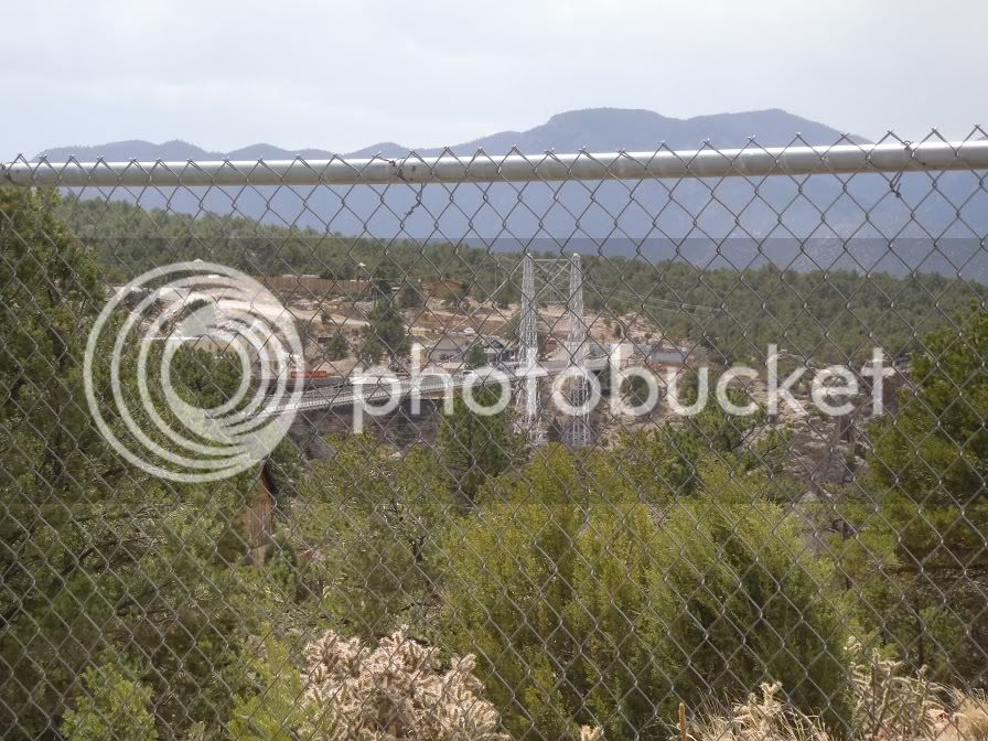
P4030486.jpg


So, I got my picture of the big bridge and was on my way feeling stealthy. Well, as it turns out, in the main parking lot on the way out there is a viewing area. Hah, so much for being stealthy. I decided to pass on stopping again to take another picture satisfied with my prison view picture. I head back down the way I came to Hwy 50 and back track the couple miles to Hwy 9.

From there I took Hwy 9 up to CR 11 to CR 1 to CR 42 back to HWY 24 and Woodland Park. This stretch of road was fun, and must have been more fun than I thought, as I didn’t take a single picture of it. Anyways, going up CR 42 towards Woodland Park you go up a pretty fun little pass. Once I got on the other side of it the weather turned for the worse. It started to snow. It was still almost 40 degrees so I wasn’t too worried and continued my way into Woodland Park.

As I pulled into Woodland Park the snow got worse. Also, while I was somewhere on Hwy 50 my phone had gotten a voicemail and I noticed it while I was at the Royal Gorge but didn’t have service to check it. I remember a Starbucks near the intersection of 24 and 67 from the day before so I decide it is a good idea to stop there, check my voicemail and get Wifi on the iPod to check the weather forecast. As I pull in the parking lot I notice the SV650 that I saw earlier was there as well. I chat with him a bit about our rides and he had done a fairly similar route I had done in the last day and a half, in the last 4 days. We start chatting about the weather, I check my voicemail, which is from a friend at home and she said it was blowing snow and ice at home (not good, still 170 miles from home at this point). I log into the iPod and see that it is snowing about everywhere North of us. SV650 guy calls a friend of his in North Denver and finds out it is snowing there but it isn’t really sticking to the roads. Both of us had planned on riding up 67 thru the mountains but decided we better just take 24 down to Colorado Springs to drop some elevation and hopefully get out of the weather. So that was that, we shook hands said safe ride and we were on our way. Should have exchanged information but we were both fairly concerned about the weather and at this point just had home on the mind.

Hwy 24 down to the Springs wasn’t too bad, but what had my attention was that the temp kept dropping as I dropped elevation and it was still snowing a little bit. I got down to the Springs and turned North on I-25 hoping that the well traveled road and lower elevations would keep the roads from freezing. Not the safest train of thoughts, but the lesser of two evils I thought. Well, by the time I got out of the Springs and towards Monument it was flat out SNOWING. It was still above freezing and nothing was sticking, except to the bike so I forged on.

That “ladder of risk” that they teach you about in the Experienced MSF courses (I take one every couple years to keep fresh on slow speed maneuvers), yeah, I was standing one footed on the top rung. Visibility was crap, it was approaching 4pm (dark soon), it was snowing, traffic was moderate. Nothing about the situation was good.

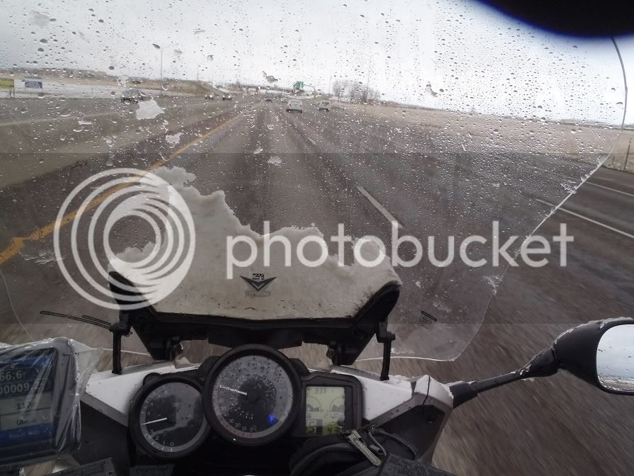
I decided that the roads were just wet, and weren’t freezing, so I decided to forge on. Right decision or not, not sure, but I made it out alive, but the next 80 miles were hell. Finally my visor on my helmet became worthless and my left arm was about worn out from reaching up to clear it every other second. I finally found a vortex with adjusting the vstream (which had about ½” of ice and snow on it at this point) and my visor that I could look underneath my visor and over the vstream and see ahead without getting pelted with ice and snow. The thought of stopping crossed my mind, but it was late in the afternoon and I knew if I was on the road still at dark I would be in more trouble than I was already in.

Somewhere south of Denver I approached another black FJR and passed him and gave him an uneasy thumbs up. I posted in the sightings forum to see if you are on here. I forged my way thru Denver and took the HOV lane, that way at least there was a concrete barrier between me and the other loonies on the road. Finally, once I got up around 76 the snow slowed down and visibility improved. By the time I was past 120th Ave the snow had completely stopped and visibility was good.

Snow covered windshield after I had already cleared most of it off:

P4030487.jpg


Someone is happy to be out of the snow!!

P4030489.jpg


From here it was a nice 30-33 degree ride up to Wellington with a nice 30mph headwind. I’ll take a headwind over a crosswind any day!

Final gas stop:

P4030491.jpg


I then headed back East on CR100, pulled the bike in the garage, gave the gas tank a big hug, thanked the Feej for getting me home safely and reminisced about what a great weekend I just had!

Ending mileage:

P4030495.jpg


Ending trip meter:
P4030494.jpg


Great report! :clapping: :clapping: :clapping:
That snow's a *****, isn't it? Can't tell if there's ice under it or not is the big problem. Good job making it back safely.

 
Wow...great ride report. Thanks for posting all your ride...including the going home ride. I've been in situations similar to that, so it's interesting hearing other's thoughts.

 
Great story and pics. I've hit a few of those roads on past tours on the BMW...can't wait to get back there again this fall on the FJR when the leaves are changing color. Highway 17 from Antonito to Chama is just spectacular when the foliage is at peak color. You're right about 114 south of Monarch Pass; too much fun in the twisties to waste time taking pics.
It is, indeed! We rode through there last year at SW-FOG. Absolutely gorgeous!

P.S. SW-FOG is at Taos again this year...wink wink, nudge nudge!
Thanks everyone, it was a fun weekend. Hopefully I'll have a few of these up this year.

I would love to go to SW-FOG, but it being during the week make it a no-go for me. If it was over a weekend I'd be there in a heartbeat!

 
Top