sapest
Well-known member
While on my way to the Three Flags in San Diego I had a couple of days to spend in Redding. Here's how I spent one day -
Today started out a bit cooler so I thought I would go for a ride out to the coast. Haven't seen or smelled the ocean in a few days.
Took Hwy 299 east from Redding following the Trinity River valley. The first 25 ish miles are very curvy, with lots of construction. After the construction I noticed it was getting darker. Clouds and smoke. Maybe more smoke.
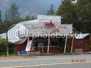
Then I come across Burnt Ranch Store. How appropriate!
Traveling along, the smoke goes away, I can't smell it any longer, but its still dark. Oh, now it's the clouds rolling in. I pull into the FB Mathews Rest Stop and see;
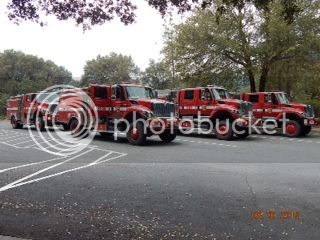
This the first of much fire fighting gear, camps, and people that I will see today.
Here's why;
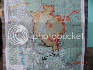
(Notice the red edge of the fire is marked as 'uncontrolled')
Then it rained. Maybe 10 minutes. Just long enough to think about rain gear. Oh mother nature, you are a jokester. After the rain stopped I drive by a Polaris missile. As this is not something you see every day, I turned around in Willow Creek and drove back to Gary's Auto Repair, and sure enough, that's a missile folks.
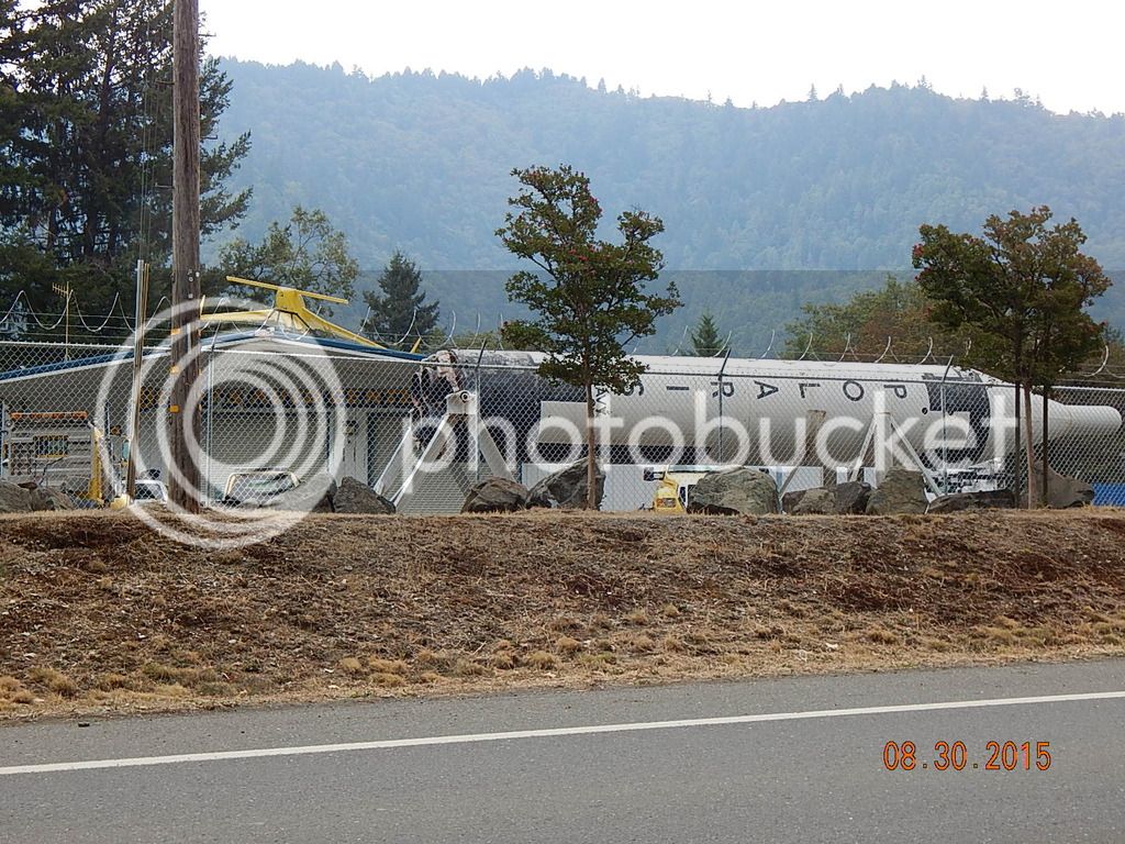
When I look at the photo, I see its still pretty smoky. I guess the bit of rain didn't do much except get me wet, again.
Hitting the 101 is like getting on an LA freeway after the tranquility of 299. Its busy, there are multiple lanes and lights. But I smell ocean and see water (Humboldt Bay, actually) Mission accomplished!
A few miles south and I stop at the locally famous Redwood Cafe in Fortuna for lunch.
(Food porn=bacon, cheese & avocado omelette)

Fortuna takes me east onto Hiway 36. More fire camps. More curves. More trees. As in, the trees are the guard rails, just slap some reflective material on the trunks, which are like 2 feet off the road, or less. There is no shoulder anywhere, thus no photos. A few trees clearly have scar's from being hit by cars.
Dinsmore airport is a big fire camp, it looks like the set from MASH, except the helicopters are all different colours. Crossing Mad River, heading uphill to a 4000 ft summit, its now a sunny afternoon.
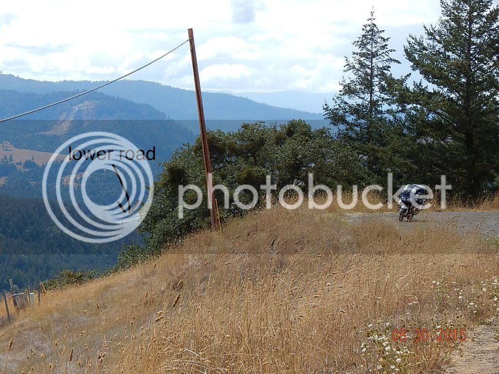
The photo does not really portray how far down 4000 ft is.
Turning north onto CA-3 takes me back towards 299. If 36 is like driving thru the forest, 3 is like driving down the side of a mountain. A burned up mountain. Make that a too many curves to count burned up mountain.
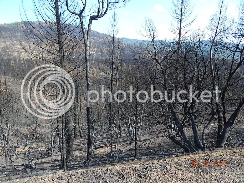
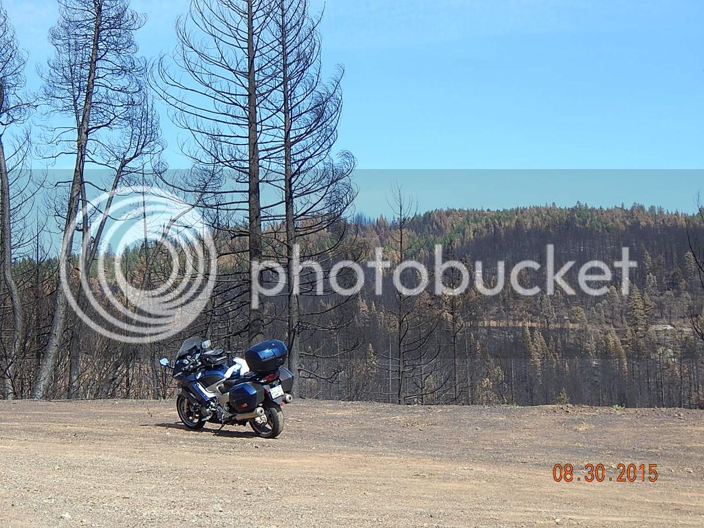
There is soot on the road, and me, as I discover later. But, the forest doesnt really look too bad. In this photo, you can see the top of the ridge line is still a green forest. There are plenty of trees with burned bottom trunks and lots of ground cover that is just ash. The "Icy Road" signs are all burned up. But so many curves I am starting to get tired. Past Hayfork two deer want to play "hit me", but since I know I cant win, I blast the horn and off they go to find different players. Up the Hayfork 3600' summit, down the other side, more curves, and back on the 299 at Douglas City.
East on 299 and back to Redding. 525 km's, about 325 miles.
(not sure why the photos are different sizes, sorry)
-Steve
Today started out a bit cooler so I thought I would go for a ride out to the coast. Haven't seen or smelled the ocean in a few days.
Took Hwy 299 east from Redding following the Trinity River valley. The first 25 ish miles are very curvy, with lots of construction. After the construction I noticed it was getting darker. Clouds and smoke. Maybe more smoke.
Then I come across Burnt Ranch Store. How appropriate!

Traveling along, the smoke goes away, I can't smell it any longer, but its still dark. Oh, now it's the clouds rolling in. I pull into the FB Mathews Rest Stop and see;

This the first of much fire fighting gear, camps, and people that I will see today.
Here's why;

(Notice the red edge of the fire is marked as 'uncontrolled')
Then it rained. Maybe 10 minutes. Just long enough to think about rain gear. Oh mother nature, you are a jokester. After the rain stopped I drive by a Polaris missile. As this is not something you see every day, I turned around in Willow Creek and drove back to Gary's Auto Repair, and sure enough, that's a missile folks.

When I look at the photo, I see its still pretty smoky. I guess the bit of rain didn't do much except get me wet, again.
Hitting the 101 is like getting on an LA freeway after the tranquility of 299. Its busy, there are multiple lanes and lights. But I smell ocean and see water (Humboldt Bay, actually) Mission accomplished!
A few miles south and I stop at the locally famous Redwood Cafe in Fortuna for lunch.
(Food porn=bacon, cheese & avocado omelette)

Fortuna takes me east onto Hiway 36. More fire camps. More curves. More trees. As in, the trees are the guard rails, just slap some reflective material on the trunks, which are like 2 feet off the road, or less. There is no shoulder anywhere, thus no photos. A few trees clearly have scar's from being hit by cars.
Dinsmore airport is a big fire camp, it looks like the set from MASH, except the helicopters are all different colours. Crossing Mad River, heading uphill to a 4000 ft summit, its now a sunny afternoon.

The photo does not really portray how far down 4000 ft is.
Turning north onto CA-3 takes me back towards 299. If 36 is like driving thru the forest, 3 is like driving down the side of a mountain. A burned up mountain. Make that a too many curves to count burned up mountain.


There is soot on the road, and me, as I discover later. But, the forest doesnt really look too bad. In this photo, you can see the top of the ridge line is still a green forest. There are plenty of trees with burned bottom trunks and lots of ground cover that is just ash. The "Icy Road" signs are all burned up. But so many curves I am starting to get tired. Past Hayfork two deer want to play "hit me", but since I know I cant win, I blast the horn and off they go to find different players. Up the Hayfork 3600' summit, down the other side, more curves, and back on the 299 at Douglas City.
East on 299 and back to Redding. 525 km's, about 325 miles.
(not sure why the photos are different sizes, sorry)
-Steve


