Derby Canyon Rd-Peshastin Question

Yamaha FJR Motorcycle Forum

Help Support Yamaha FJR Motorcycle Forum:

This site may earn a commission from merchant affiliate links, including eBay, Amazon, and others.

JamesW

JamesW
Joined
Aug 11, 2009
Messages
1,135
Reaction score
173
Location
snohomish wa
When taking the Peshastin back way to Leavenworth I have always noticed the Derby Canyon road going out of Peshastin. According to my maps it takes a loop out to FR7415 and around through Nahahum Canyon and on in to Cashmere. It is color coded as a major connector, my question is is it paved all the way?

 
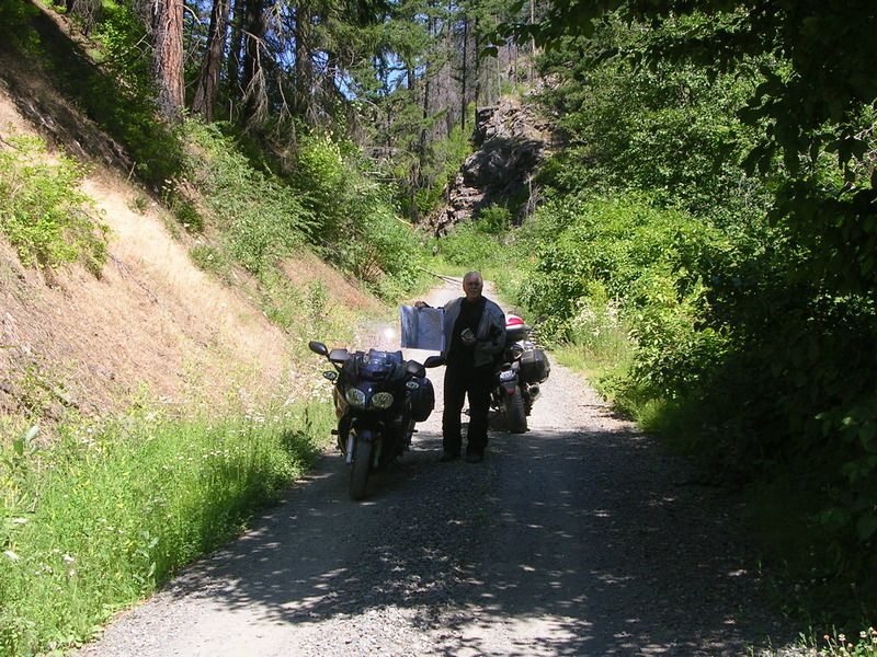
Don't try it, been there and done that!

DSCN4391_zpsna8qf4ah.jpg


Definitely the Strom, I actually think we zigzagged left when we should have zigzagged right. A full tang of gas would be smart too!

 
When taking the Peshastin back way to Leavenworth I have always noticed the Derby Canyon road going out of Peshastin. According to my maps it takes a loop out to FR7415 and around through Nahahum Canyon and on in to Cashmere. It is color coded as a major connector, my question is is it paved all the way?
I had to do a double-take when I read the notion of Peshastin - Cashmere on an FJR forum because the context was all wonky for me. While my goal wasn't exactly the same as yours I think I did the exact route you're talking and barely survived on a Husqvarna with knobbies in August. I did get some great pictures though!

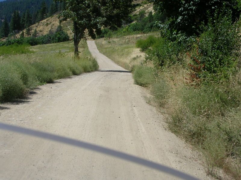
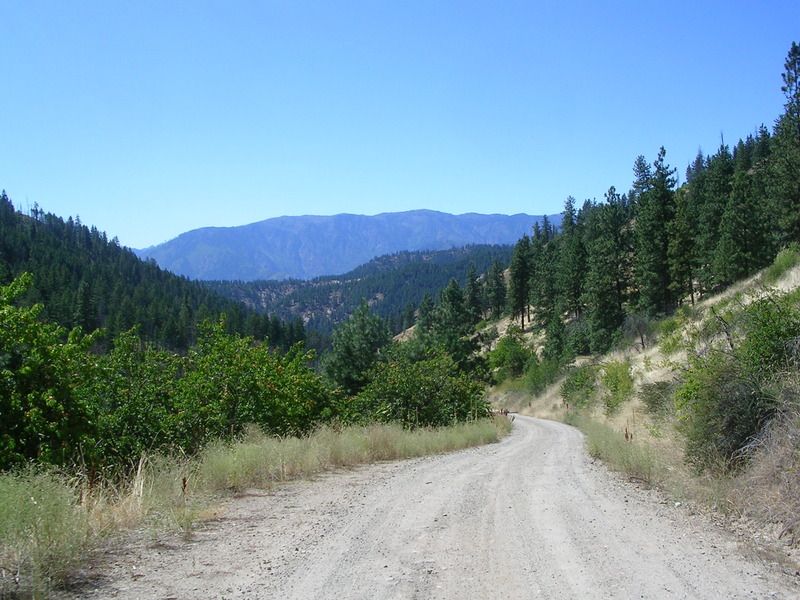
Memory serves that just out of Peshastin it transitions quickly from pavement to gravel, by a weird farm with foreboding No Trespassing signs and lots of blue tarps, and then quickly to a forest service goat trail...and something similar on the Cashmere side. This accumulation and some of the pictures on the thread were from the NF-74xx and NF-900 area. It wouldn't be a place I'd take an FJR unless there were a ton of bonus points involved.
wink.png


01.jpg


Last edited by a moderator:
When taking the Peshastin back way to Leavenworth I have always noticed the Derby Canyon road going out of Peshastin. According to my maps it takes a loop out to FR7415 and around through Nahahum Canyon and on in to Cashmere. It is color coded as a major connector, my question is is it paved all the way?
I had to do a double-take when I read the notion of Peshastin - Cashmere on an FJR forum because the context was all wonky for me. While my goal wasn't exactly the same as yours I think I did the exact route you're talking and barely survived on a Husqvarna with knobbies in August. I did get some great pictures though!

Memory serves that just out of Peshastin it transitions quickly from pavement to gravel, by a weird farm with foreboding No Trespassing signs and lots of blue tarps, and then quickly to a forest service goat trail...and something similar on the Cashmere side. This accumulation and some of the pictures on the thread were from the NF-74xx and NF-900 area. It wouldn't be a place I'd take an FJR unless there were a ton of bonus points involved.
wink.png


01.jpg
Dave and I don't all ways do thing the easy way but we have fun. We rode in three or four miles maybe more.

DSCN4396_zpscdbutlwu.jpg


DSCN4392_zpsyerqtlee.jpg


I remember that farm!


Latest posts

Top