Farewell To Winter Tour

Yamaha FJR Motorcycle Forum

Help Support Yamaha FJR Motorcycle Forum:

This site may earn a commission from merchant affiliate links, including eBay, Amazon, and others.

spoilsport

Well-known member
Joined
Feb 21, 2011
Messages
132
Reaction score
10
Location
Denver, CO
1222718613_5PrCR-M.jpg


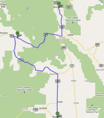
So, what do you do when you have a trip to the mountains planned with a couple of work buddies from Oregon and Canada and the weatherman is predicting unseasonably warm weather? You change your plans! We still headed for the mountains, but on motorcycles. Because weather can be dangerous in the mountains of Colorado, especially on a motorcycle, we decided to play it by ear and adjust our route and objective on a daily basis. We had an idea that we wanted to catch the Sandhill Crane migration if we could get over Poncha Pass, and, weather permitting, spend a night in Taos. The plan was to get back by 5pm on Sunday so we could cook a special meal for my wife. My buddies needed to fly out on Monday.

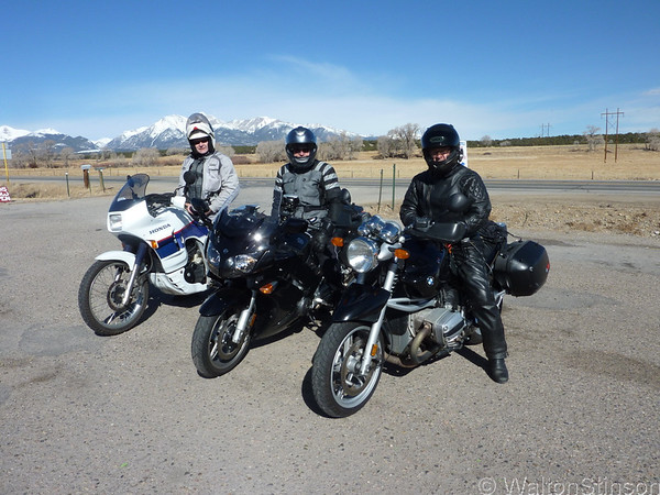
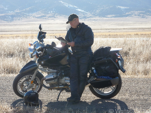
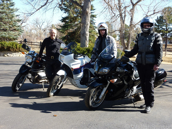
John and Ford are business colleagues who are in Denver a lot. They both keep bikes in storage here. John, a Honda Transalp (in mint condition), and Ford a BMW R1150R. I am a new FJR rider. I bought my '08 in Feb with 9600 miles on it and have ridden it just a few hundred miles since I got it. This is my first trip on it longer than a 100 miles.

We wrapped up our work in Denver at about noon on Thursday, March 11, and went shopping for for some winter gear for John, who just started riding last summer. He bought TourMaster winter gloves and a powerlet socket. I rigged up an adapter so that he could use my spare electric vest and by 3:30 we were on US 285 heading for Buena Vista - about 120 miles west. The temp was in the lower seventies when we pulled out. We were hot but we knew that once we got 20 miles west of Denver, the temp would drop fast.

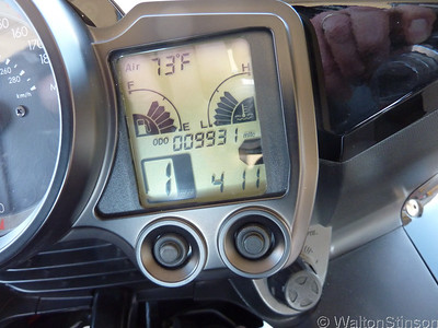
Here's a shot of my odometer right before we pulled out.
1222718688_TK5Wv-S.jpg


It says 4:11 but it's really 3:11. It's an hour fast because that how it was when I bought it. Daylight savings time starts Sunday and so I kept is that was as a reminder to spring forward (losing that hour could cause a problem meeting that 5pm deadline). Yes, it's really 73 degrees!

 
1222728660_qG4CU-M.jpg


The ride to BV was fantastic, yet there was not another motorcyclist on this very popular route. We had jumped the gun and we knew it. We went over Kenosha Pass, our first 10k foot pass of the trip,southwest to Buena Vista. BV is a small town of about 5,000 people strategically placed in central Colorado. It's not very well known, but a lot of motorcyclists, especially the ADV crowd, think of it as the crossroads of the Rockies. 60 miles to the north west, over Independence Pass is Aspen, 70 miles to the north, over Tennessee Pass, is Vail, 60 miles to the West, over Cottonwood Pass, is Crested Butte. You get the idea. This sleepy town is a jumping off spot for Rocky Mountain Adventure, and, at the headwaters of the Arkansas, it's a white water mecca in the summer. But, it's still winter, so it's quite when we get there, and it's 50 degrees - warm by mountain standards.

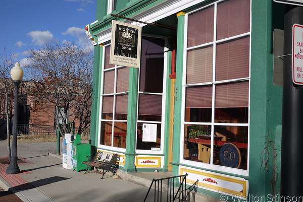
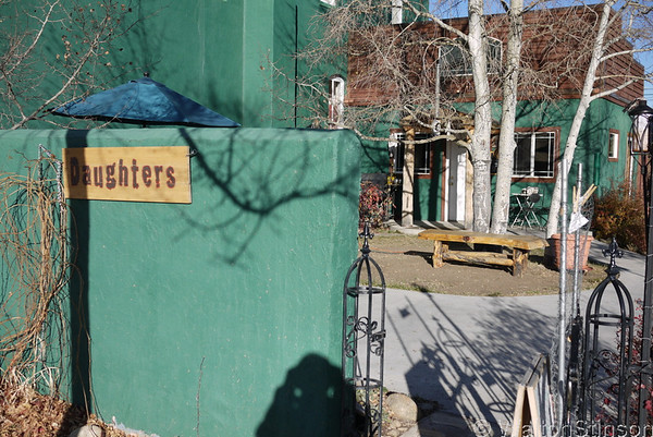
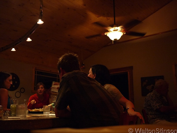
After cleaning up we headed for Mother's Bistro and choose some healthy fare dreamed up by executive chef, Sid. We enjoyed the live piano music from Cecil. After a great meal, we went next door to Daughter's Bar - a very hip bar where we tried not to feel out of place.

1222728589_4oQYB-M.jpg


1222975459_ynxxi-M.jpg


After some ritual libations to keep the weather gods happy, we packed in early. Daylight is precious in the mountains and we didn't want to miss any riding opportunties if Friday turned out as we hoped and expected. Keep your fingers crossed for us. We're pushing our luck.

 
1222728726_dZMxY-M.jpg


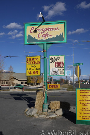
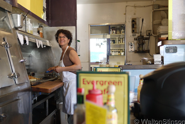
Friday morning we were packed up and out the door at 8am and heading over to the Evergreen Cafe for breakfast.

1222728864_c3roZ-M.jpg


Owner, Barb, makes the best bread pudding west of the Mississippi and is itching for a throwdown on the Food Network to prove it. I had the Vicksburg; home fries topped with cheese, two eggs, and sausage gravy with wheat toast. We all know that breakfast is a rider's most important meal of the day and Barb delivers the goods.

1222718739_3Yysf-M.jpg


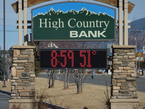
Saddling up, the temp has risen to over 50 degress! It's shaping up to be another beautiful day in the mountains.

1223471528_V6M9f-M.jpg


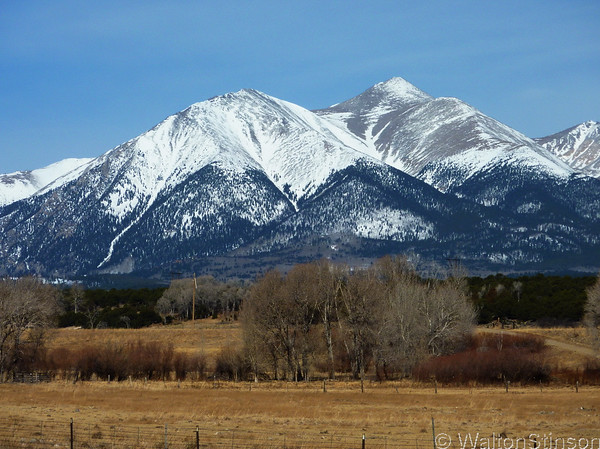
Riding south out of town on US24, Mt Shavano looms majestically over the Arkansas Valley at 14,229 feet. In this photo, you can clearly see the "Angel of Shavano" snow feature below the summit.

 
Last edited by a moderator:
1222728804_B9EAk-M.jpg


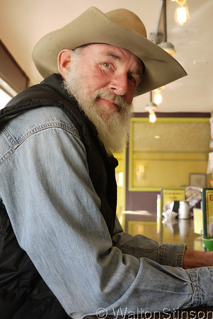
An old timer at the Evergreen wished us well as we left and said that Monarch pass might be OK. That's all the encouragement we needed to change course on the fly and take the long way to Monte Vista via CO114 over Monarch Pass, instead of the short route over Poncha Pass.

1224836355_JjMcr-M.jpg


Monarch Pass is always a hoot to ride and CO 114 is one of my favorite tight twisty roads in Colorado - canyon carving at its best.

1222718841_Rbj9m-M.jpg


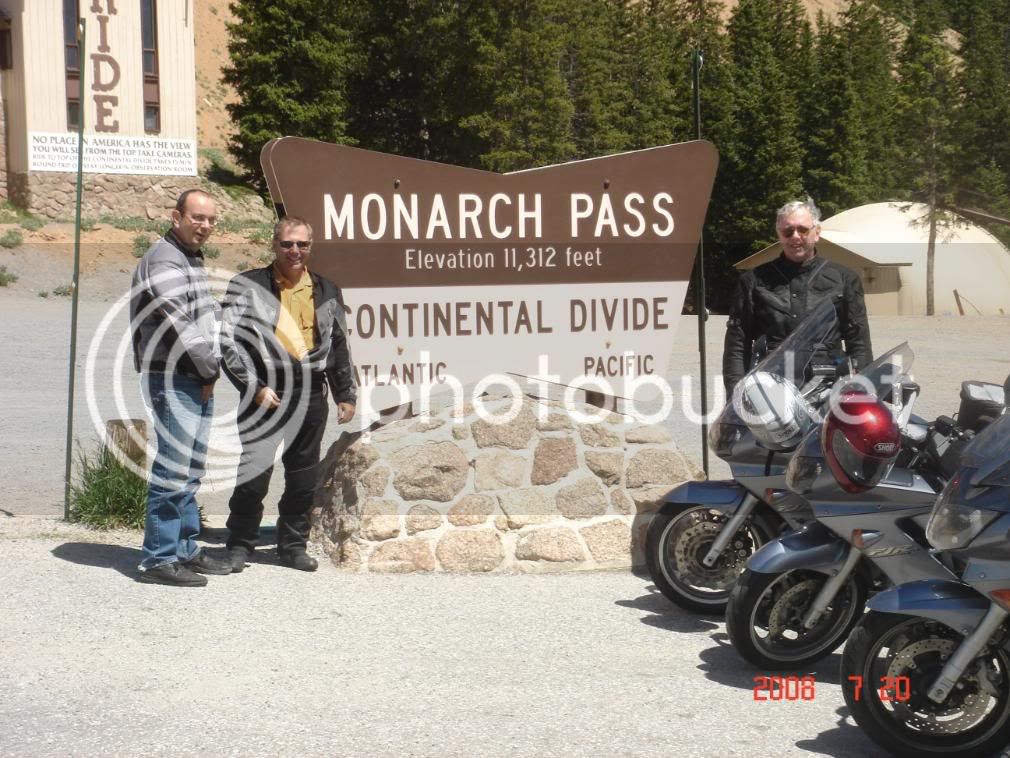
We stopped in Poncha Springs for a gas up and a waitress from the restaurant next door came over an offered to take a group photo.

1222719004_7CftR-S.jpg


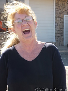
She was very nice but also offered a note of caution about Monarch Pass. "Still a lot of snow up there", she warned.

1224854537_Ukx6A-S.jpg


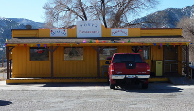
Gotta put in a plug for the Tony's Restaurant, which she says has great food. It's just a few hundred yards west of US50 and US285.

 
Last edited by a moderator:
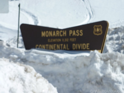
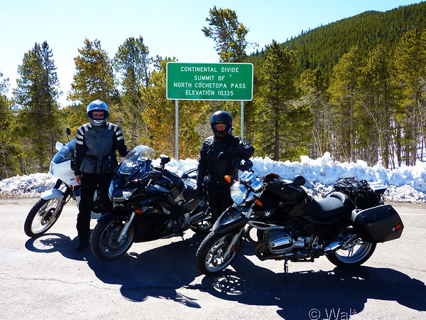
The temperature began dropping quickly as we began the climb over Monarch Pass. By the time we reached the summit, the temp dropped to 37 degrees. I was relieved that it wasn't colder.

1222719180_QbHjR-S.jpg


There's still a lot of snow at the top of Monarch. We had to ride over some of it to get into the parking lot at the top, but the rest of the road was dry. We passed by the Monarch ski area on the way up. It's a budget ski area that's popular with locals. Monarch gets abundant snow!

1225217843_oGDDa-L.jpg


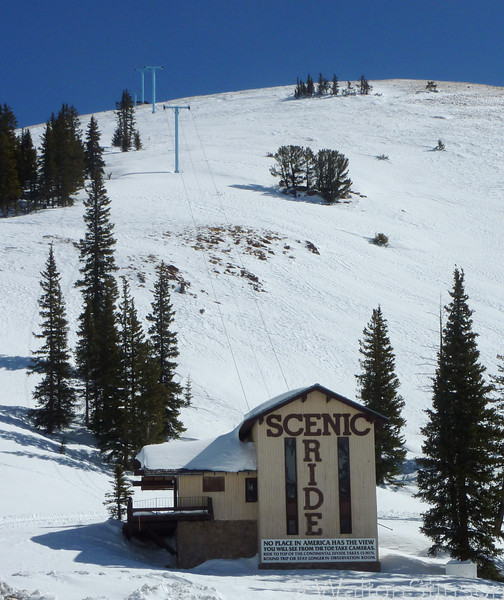
This chairlift takes tourists to the top of the Continental Divide in the summer time.

 
Last edited by a moderator:
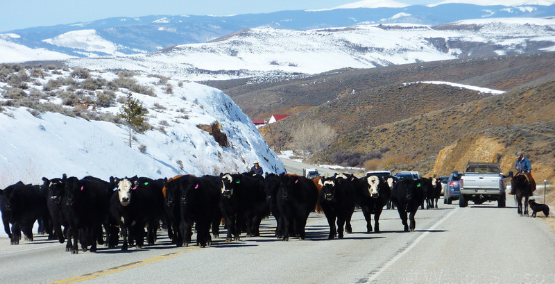
Descending Monarch into the Gunnison Valley I expected the temp to rise. Instead, it began to sink. By the time we got to the turn off for CO 114, it was down to 27 degrees. But before we could reach the turn off, we ran into a most unusual road block....

1225949345_caJDo-L.jpg


The cattle drive took up the entire road where it sliced through a hill, so it got a bit crowded in the narrow spot where we stopped. But the dogs had the herd completely under control. Some of the cattle stopped to admire my FJR. The black one clearly has universal *** appeal.

114 lived up to it's reputation. There was virtually no traffic as we snaked our way through the canyon carved by Cochetopa Creek. I wish I had some pictures of the scenery, but I was having way too much fun to stop. :)

1225956193_Y2Pb6-M.jpg


Exiting the canyon, the temperature plummited to 19 degrees for about 20 miles. As we began to ascend the pass, the temp began to climb again and by the time we reached the summit, it was back into the 30's. But the road was dry and there was no sand or gravel in the corners. :yahoo:

 
The temp continued to warm as we descended into the San Luis Valley and by the time we reached Saguache it was up to 60! That a pretty exciting swing for one morning.

1225971368_apvyU-L.jpg


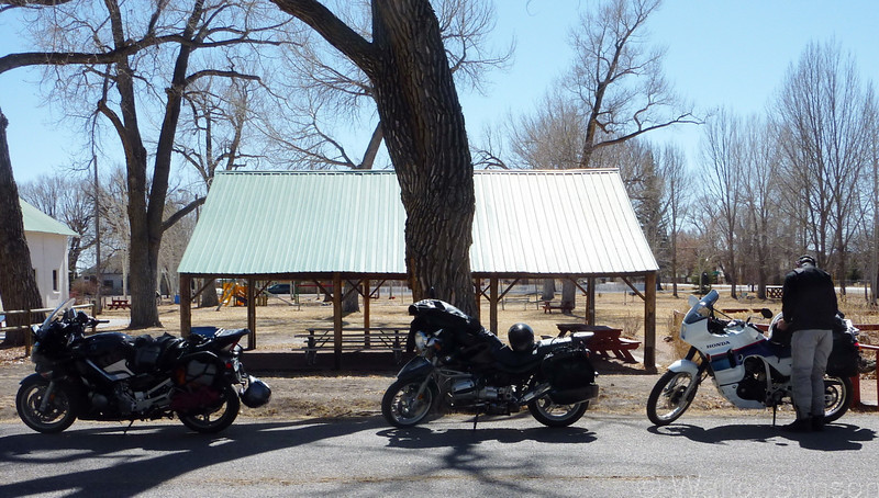
We decided to have lunch at the town park. Ford is the food meister. He lost 30 pounds over the past year by avoiding soda, junk food, sugar, etc. Back in BV, he stopped at the City Market and bought some peanut butter, crackers, carrots, and almonds. In the park, he laid out this spread. John went to the local market and bought some water and we enjoyed a leisurely and healthy lunch snack while watching some local kids play basketball in the park. They were shirts and skins, to give you an idea of how balmy it was. When we loaded back up, gone were the winter gloves, heated vests, and balaclavas (I would have said baklava, but Ford has already reminded us at least 5 times that we are not wearing a Greek pastry). :ph34r:

Next stop: Monte Vista National Wildlife Refuge

 
That Transalp *is* in mint condition... I haven't seen one of those in a LONG time!

 
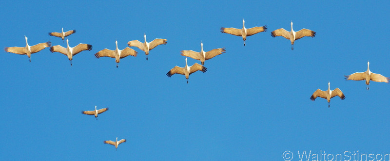
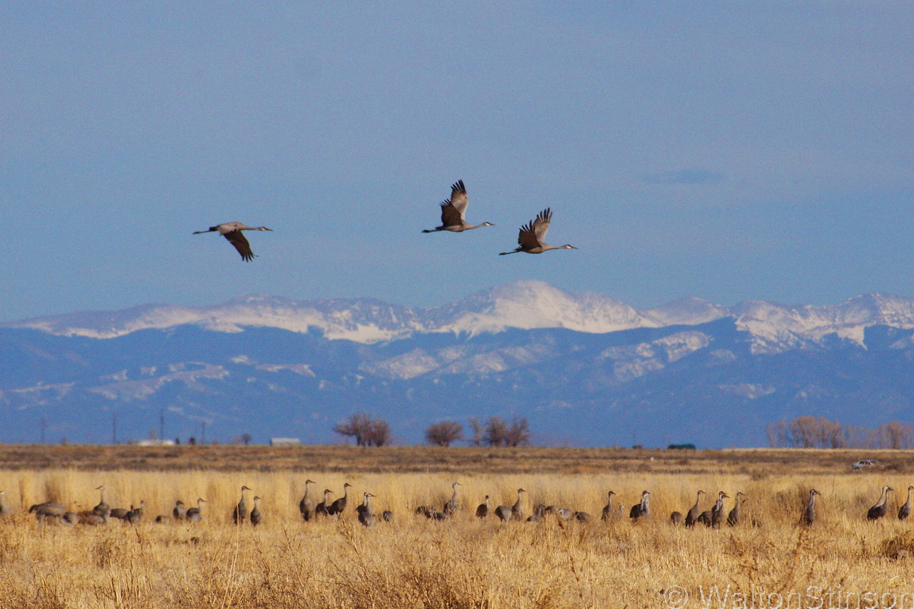
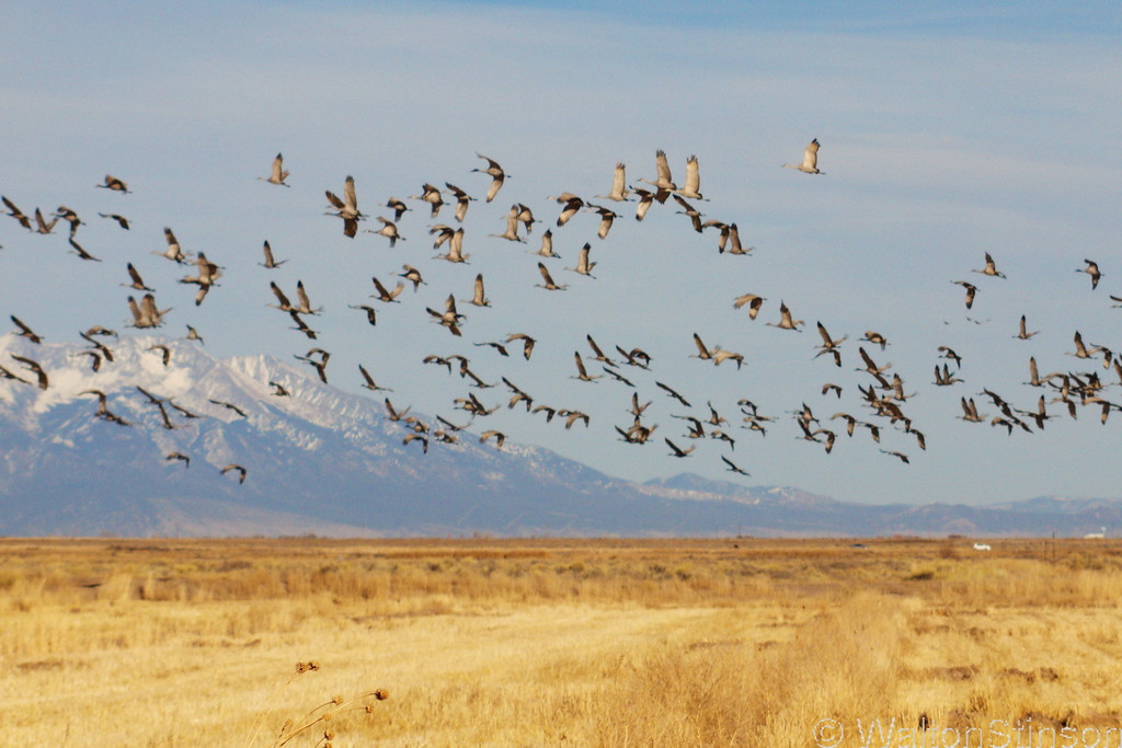
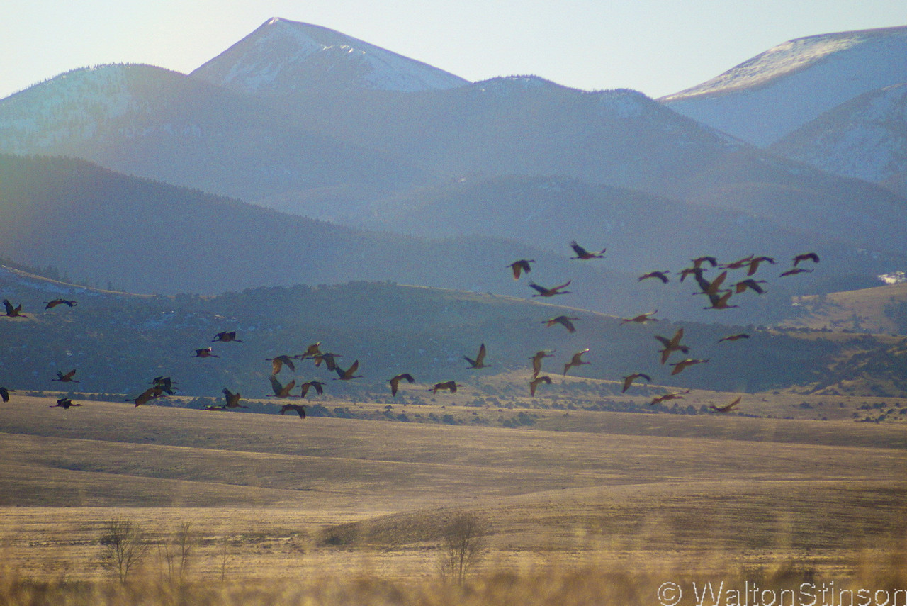
The Monte Vista National Wildlife Refuge is located 6 miles south of the town of Monte Vista. The Fish and Wildlife Service website says, "The artificially created wetlands on Monte Vista NWR's 14,804 acres are intensively managed to provide habitat for a wide variety of waterfowl and other water birds. Mallards, pintail, teal, and Canada geese are common, as are American avocets, killdeer, white-faced ibis, egrets, and herons. Irrigation canals and wells provide precious water to maintain important wetland habitat." I was there for the spring migration of the Rocky Mountain Sandhill Crane. These cranes winter at Bosque Del Apache near Socorro, NM and migrate through the San Luis Valley each Spring and Fall, stopping of for 6 weeks or so in each direction. The flock population is about 30,000.

1226226565_W8zjC-L.jpg


We stopped by the Crane Festival headquarters on the way into town and the FWS officer I spoke with suggested that we get to the refuge by 4pm. He said that 4 to 6pm is a period of peak activity, along with a comparable period at sunrise. I was shooting with a Lumix G1 camera, one of the relatively new micro four thirds cameras. I fitted this camera with a mount adapter to accept an old 200mm Nikkor lens. This old lens is effectively a 400mm lens on the G1, which worked out well for photographing the cranes.

1222706332_g9TKo-X2.jpg


1226226678_c9AMA-XL.jpg


1226226480_MXQie-X2.jpg


John helped me get my shots set up, while Ford patiently kept himself occupied after the initial novelty of the cranes wore off. Thanks guys, for indulging me in my crane side trip.

1222719626_S52PG-M.jpg


Last edited by a moderator:
Done a bit of Colorado the year we went to Golden for NAFO, I would like to go back!

Nice shots, hope your enjoying the FJR.

 
1226523435_YKy3o-M.jpg


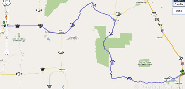
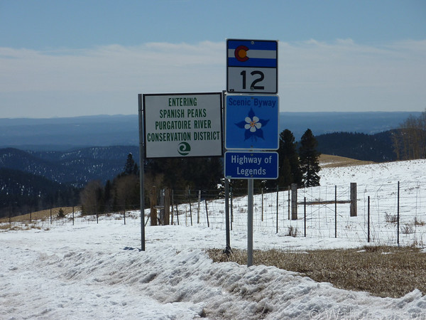
All the hotels in Monte Vista were booked for the crane festival, so we rode about 15 miles to Alamosa and spent the night. The next morning at breakfast, with the weather looking good, I suggested that we take the long way to Taos over La Veta Pass, to La Veta and over to Trinidad on the Hiway of Legends - CO 12.

1222720486_MLgy9-M.jpg


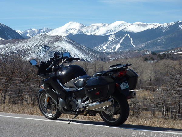
The Hiway of Legends is another fantastic Colorado twisty that's off the beaten path. It passes through the Spanish Peaks wilderness area and some of the most spectacular scenery you'll find anywhere.

1222720291_8ERJU-M.jpg


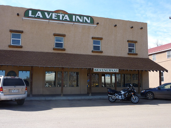
The first stop is La Veta, a small eclectic mountain town with a great vibe.

1222719768_7Wm88-M.jpg


You can see the spanish influence in this hotel building.

1222719951_sdL93-M.jpg


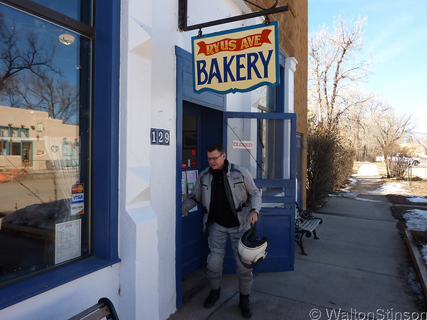
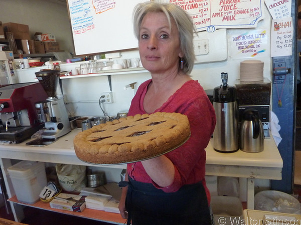
Down the street from the hotel is the Ryus Avenue Bakery. John is eager to get in there and have some coffee!

1222719886_G5Ct7-M.jpg


You want some freshly baked pie with that coffee?

1222719829_vo8n9-XL.jpg


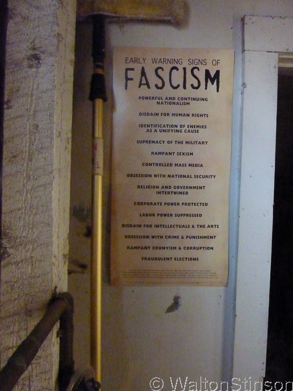
In the spot where the mandatory government injury and minimum wage posters are supposed to go, there was this...

 
1222720430_6MAvT-M.jpg


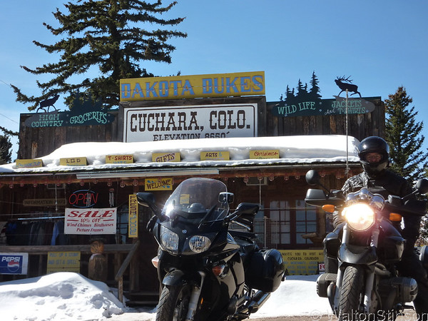
Further down the road, and higher in elevation, we reached the general store of Cuchara.

The hiway of legends is a great way to relieve the boredom of the I25 slab. You can access it in the north by taking the Walsenburg exit and in the south at the Trinidad exit. Plan a bit of extra time and you'll be well rewarded.

 
Top