Here are photographs of The Wallow Fire burn area on Arizona Highway '666' (US 191), The Devil's Highway, taken yesterday by AZ Beemers President Brian Boles.
"I pulled off for some photos at Blue Vista. Here's a pano looking south.
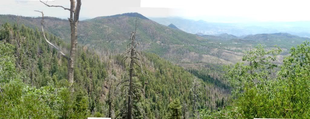
Most of what you see in this shot is part of the burn area. You can see the burn marks in the brown section, but notice that there is a lot of green areas also.
This fire didn't leave the amount of scorched earth that the Rodeo-Chediski did. Maybe the high winds helped to scatter the fire around.
Here's the view looking north. Very similar.
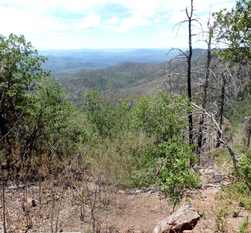
Also looking north.
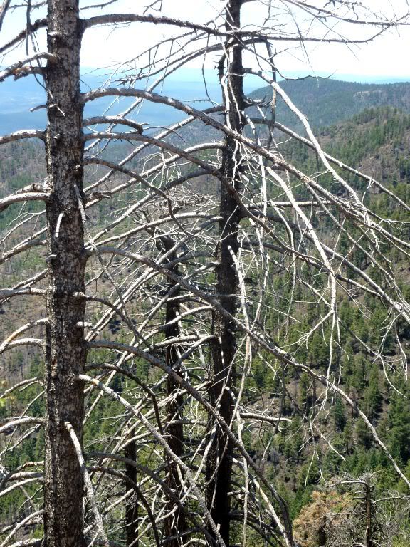
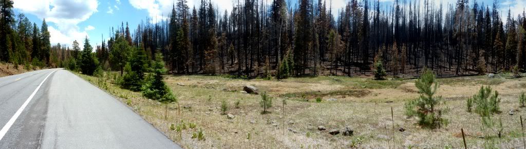
Here's a section, just south of Hannigan Meadow that got completely burnt.
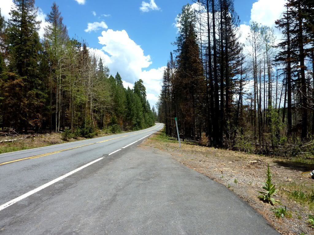
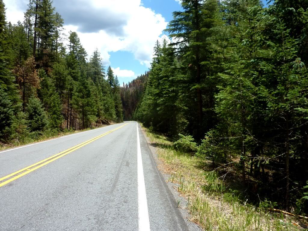
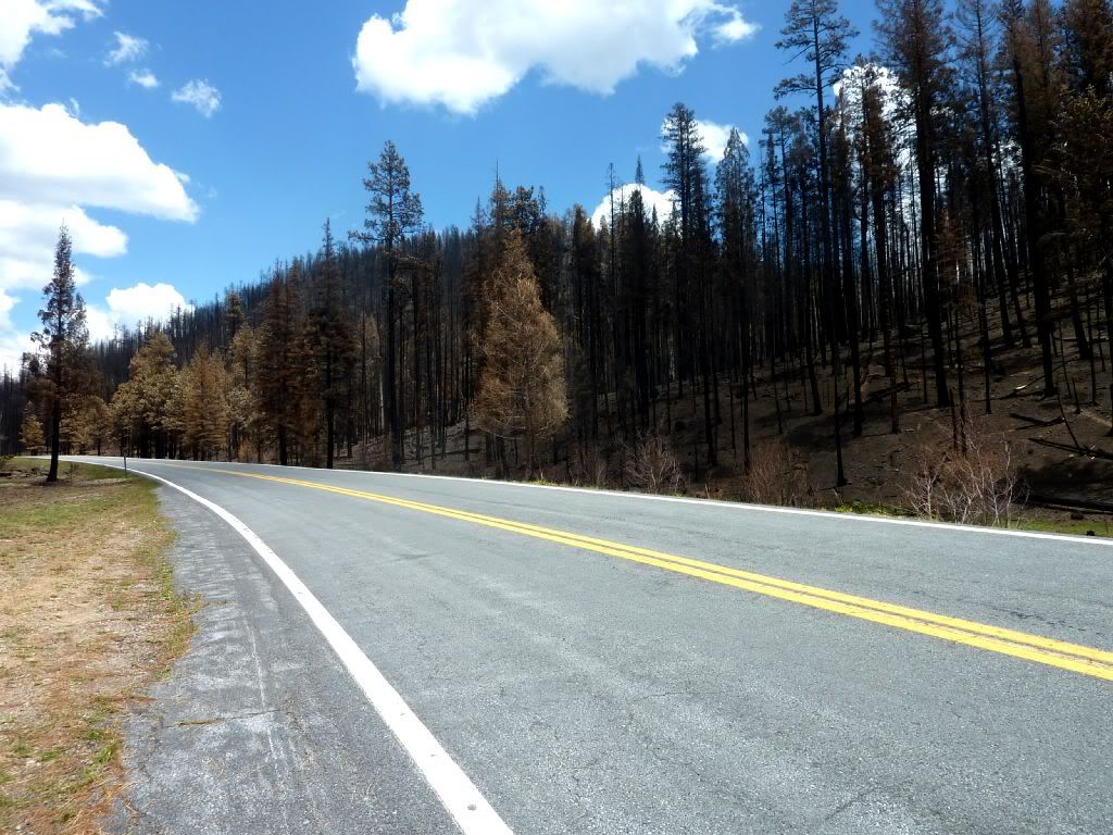
But most of the road looks like this. Some scorched trees, but plenty of survivors also.
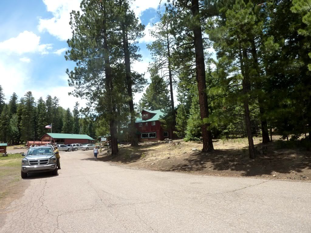
Here's Hannigan Meadow lodge. Wouldn't know there was a fire from this shot. There are some large burnt sections just behind (west) of the lodge.
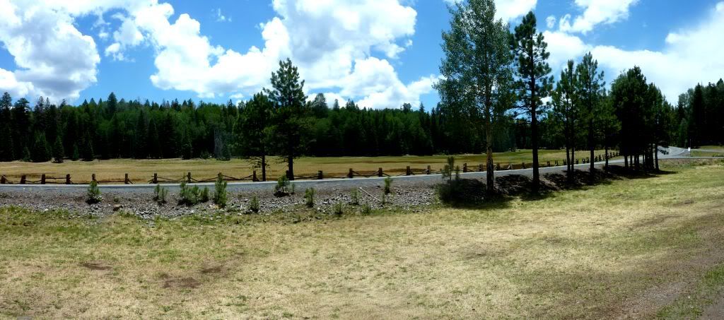
Here's the meadow. Still looks pristine.
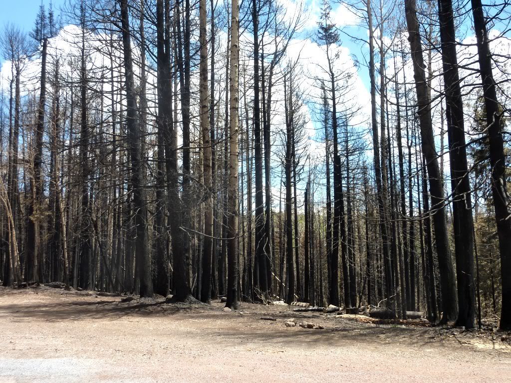
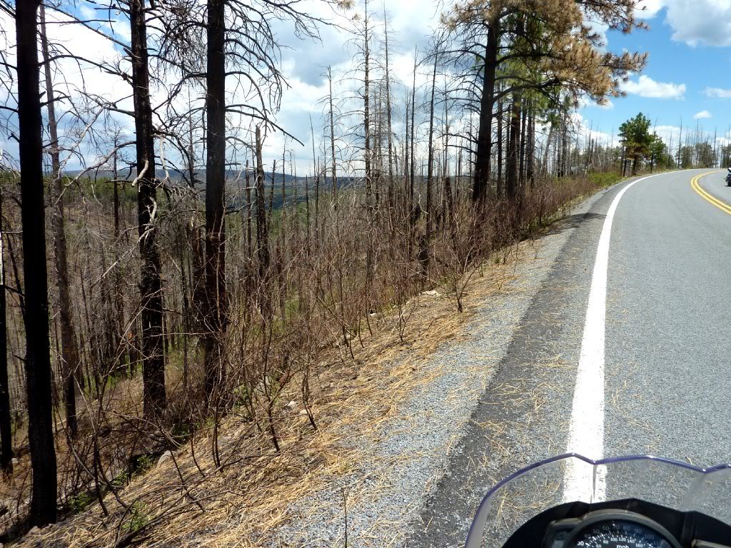
The fire seems to have been more intense the closer it got to Alpine. Some of the burn areas are larger.
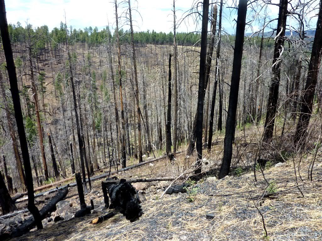
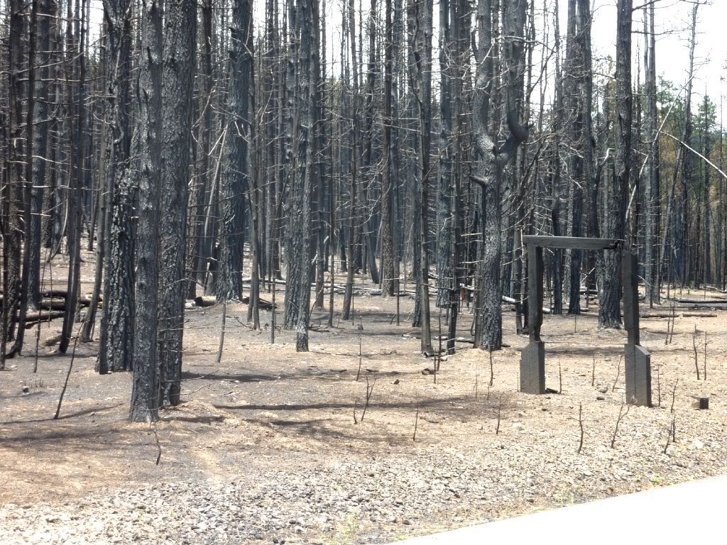
This is probably the worst burnt area. In this area, the trees and everything on the ground burnt. Notice the remains of a sign that probably used to say something like "ONly you can prevent forest fires".
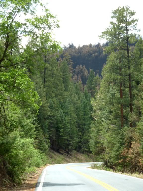
The fires came very close to the little valley that Alpine sits in, but didn't enter the valley itself. So most of Alpine looks just the way it did. The big concern in Alpine is flooding, similar to what happend north of Flagstaff last year."


