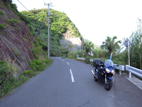
Japan: Kyushu - May 10-17, 2009 - solo

Yamaha FJR Motorcycle Forum

Help Support Yamaha FJR Motorcycle Forum:

This site may earn a commission from merchant affiliate links, including eBay, Amazon, and others.

colin

Well-known member
Joined
Jun 28, 2005
Messages
531
Reaction score
0
Location
Tokyo, Japan
Shortly coming back from Shikoku I discovered I had the window of opportunity to make another run for the west.

Last (and first) trip to Kyushu was the Goldenbutt run of 2008. Couple of days on that trip were rainy, so missed out on the Best of Aso, and also I had didn't get to spend much time at all in the west. I attempted to sort all that out on this trip, with some success....

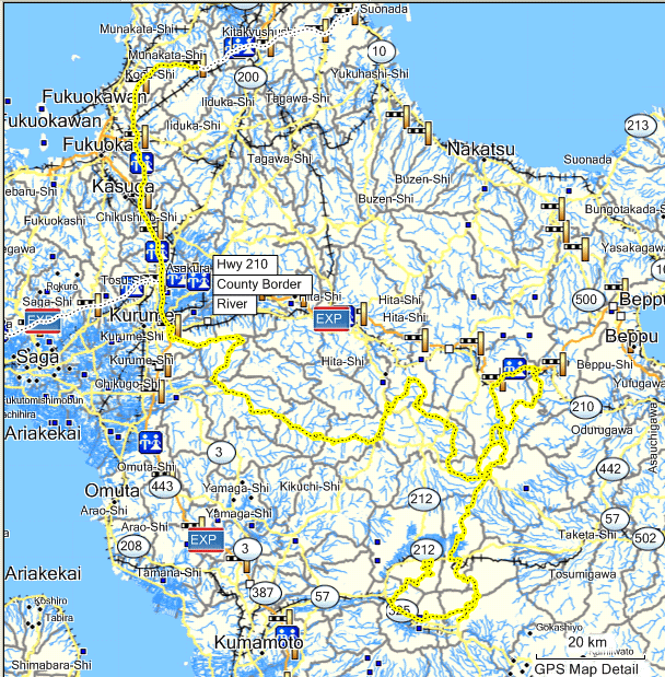
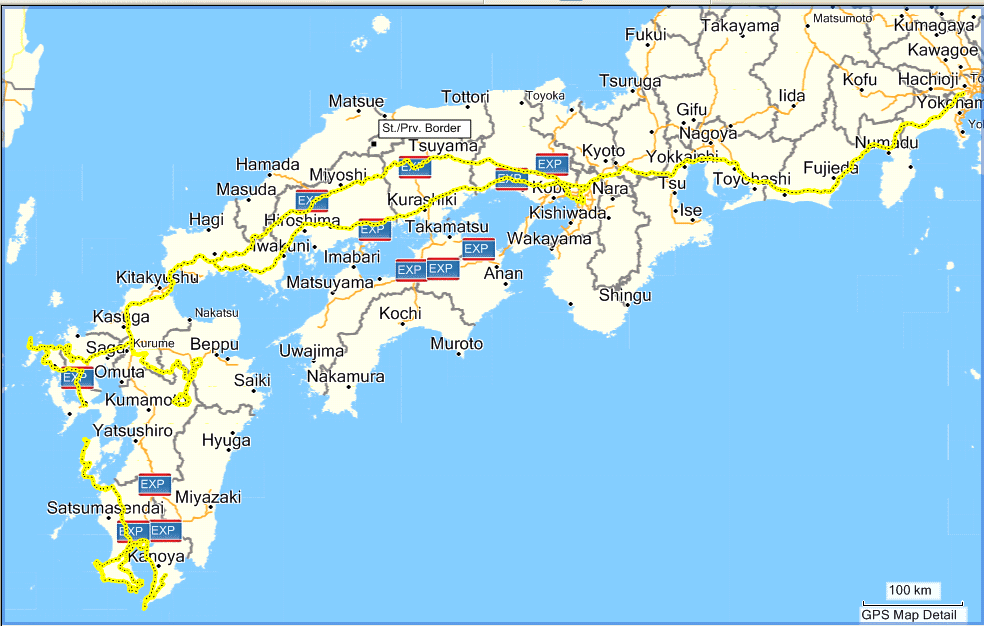
Zumo recorded most of the trip, but missed some juicy bits in Kyushu. I really thought I figured out the track recording problem by finding these archive .gpx files that are stored on the zumo, which you have to go into the file system to retrieve. Even then, it has missed from Aso down the east coast through Miyazaki. Also doesn't seem to have my route through Shimabara. Bit ****.

Anyway, here's the overall....
3544406546_1e7c6f3e5d_o.gif


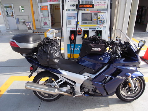
Bike was still mostly packed from shikoku. Realized my gloves hadn't actually completely dried out, so had to air them out on the way. I swapped out my one-man-leaky-sticky-tent for a bigger two man tent that I have. More on that later, but meant the bag in the back was a bit more full than usual. Still fine though, avoiding panniers. I couldn't find my stove or fuel cans. Last used on my Shikoku trip, a few apartments ago, so who knows where it is now. ugh. Oh well, conbinis are everywhere, eh?
3537867639_16010e4400.jpg


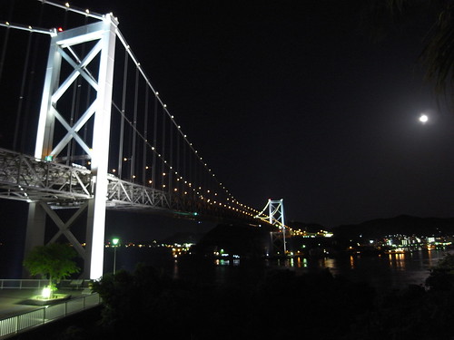
I left Sunday, 11am-ish. Hoofed it all the way out by Fukuoka in one go... over 1000km in one shot. stayed at a Route Inn, got in around midnight. Long day.
3537868477_fef86aaeb3.jpg


Last edited by a moderator:
Day 2, the goal was to get out toward Aso.

I took the highway a bit further south, then exited and took some super twisty goat-track type road for a bit. Was a tough way to start the day. Eventually got out to the great twisty roads north of Aso, and then went down to Aso to stay the night.

3543927903_93fee00d6a_o.gif


Exited the highway at Kurume (久留米) and took some skyline east. Ditched that uber-twisty road at 70, going south.

3537869715_ff0f6f27ab.jpg


3537870235_e3e78ddbb7.jpg


Bailed on 70 here:

3538683188_01ac622f33.jpg


From there, the 442 for a while. 442 wasn't terribly exciting, some places nice. Bit more crowded than you'd like.

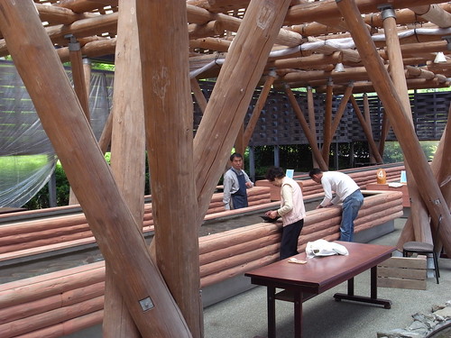
At a michi no eki (道の駅) there was some gold-mining you could try.

3537871281_201c28f4d0.jpg


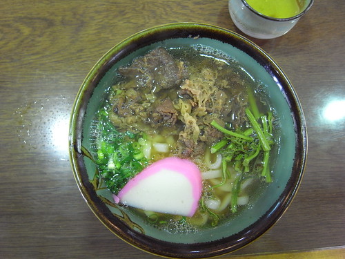
Had niku-udon for lunch:

3537871875_32b985c68d.jpg


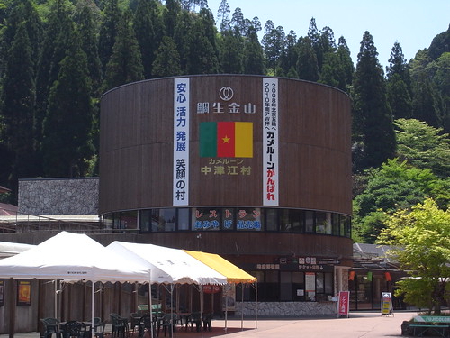
This michi no eki had some strange affiliation with the Cameroon national soccer team. Didn't get it.

3537872395_c5f7f1ff27.jpg


Some bridge off the 442:

3537874171_863b8cf370.jpg


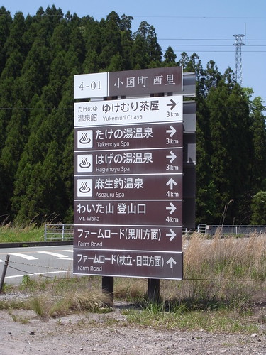
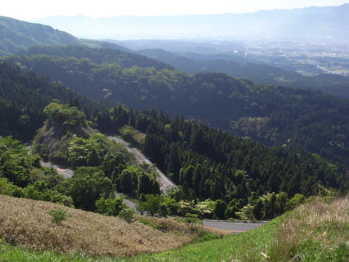
Found the 12 to go north along a lake, and connected with a recommended road called "Farm Road" (ファームロード) which was excellent! It's a white road in the mapple, but a great 2 lane winding road...

3537875151_88d6c1caae.jpg


That catches up with 442 again and did the 11/40 loop north. 40 & 11 are awesome! Navi did some weirdness on me and I didn't do the loop as I would have liked, but hit all those roads. At this point I started to recognize this from last year's trip.

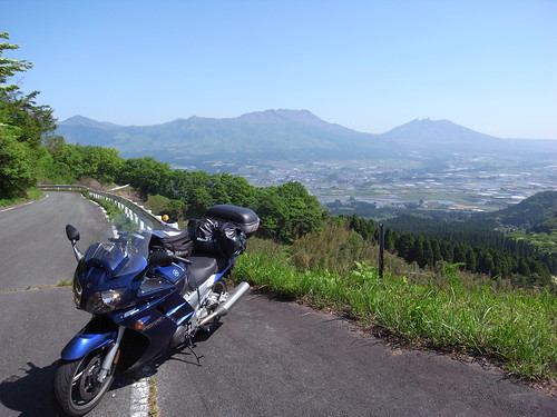
View here of Aso (阿蘇)...

3538688910_ee8d843eae.jpg


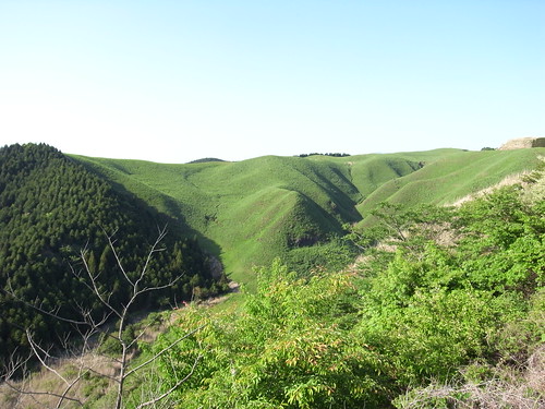
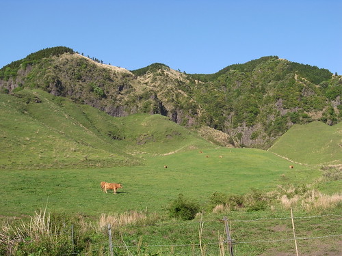
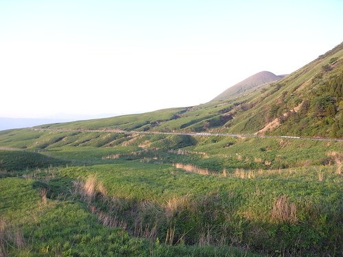
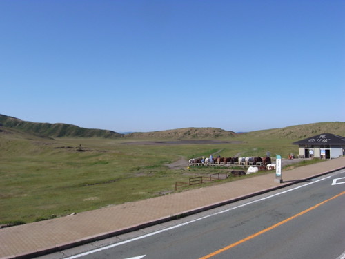
Very grassy around the caldera

3537876617_fc84c728e9.jpg


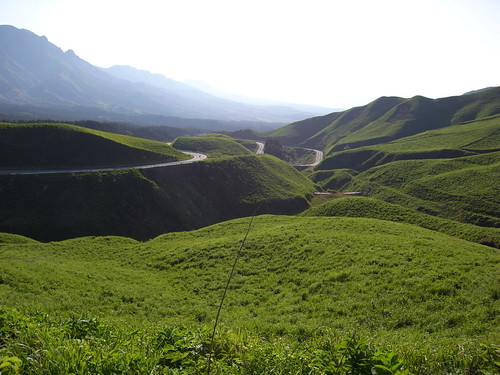
Much goodness on the 11 & 40....

3538689964_1e9cf262f0.jpg


Down there is that big rest area with campsite and over-priced Eneos gas station.

3537878635_215ed83000.jpg


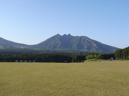
Lots of rice fields with Aso in the distance.

3537879167_ef0cf6c38b.jpg


3537880169_6f9d65cc07.jpg


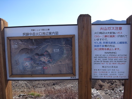
Some info about the Aso area.... from https://www.biodic.go.jp/english/jpark/np/aso_e.html

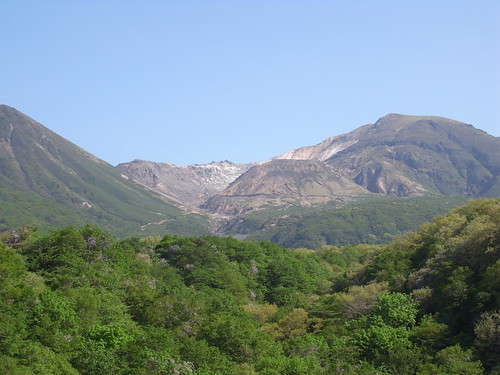
Aso National Park includes two groups of volcanic mountains, Mt. Aso caldera and Mt. Kuju, the highest (1,791m) in Kyushu.Mt. Aso, an internationally famous active volcano, has the world's largest caldera basin which marks its original crater. Its diameter is 16 km from east to west and 32 km from north to south, and about 128 km in circumference. There are 3 new craters in central cone area, and southern most new crater is very active, constantly sending forth black smoke, accompanied by underground rumblings.
 
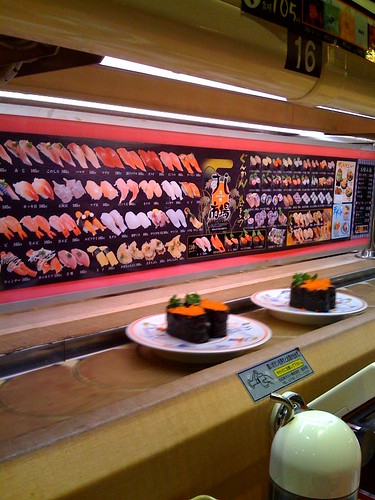
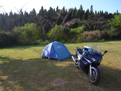
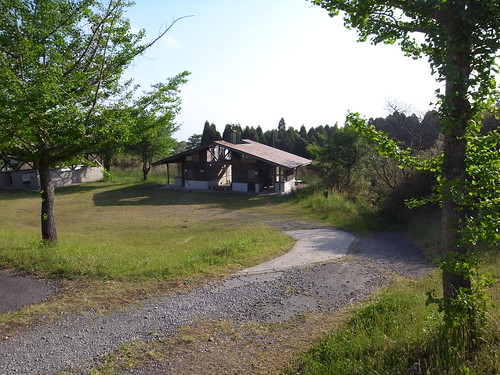
Camped on Aso, near the town. Campsite pretty OK in terms of camping. Facilities I didn't really try out, but nothing to write home about. Went to an onsen in Aso instead. Couldn't find any good places to eat open, ended up in a very dire kaiten sushi place. ugh.

3521183487_c63db53fee.jpg


3538699612_71a9b8627e.jpg


3537888797_1253fa9af4.jpg


Just me and a european cycling couple staying there. Didn't really talk to them at all. I'm finding it is pretty lonely touring and camping solo.

Was damn cold on the mountain as well, woke up a few times to find more to cover up with. Had a summer sleeping bag only.

 
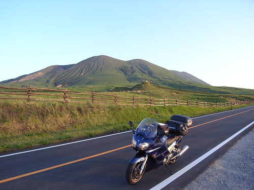
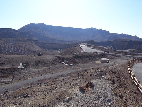
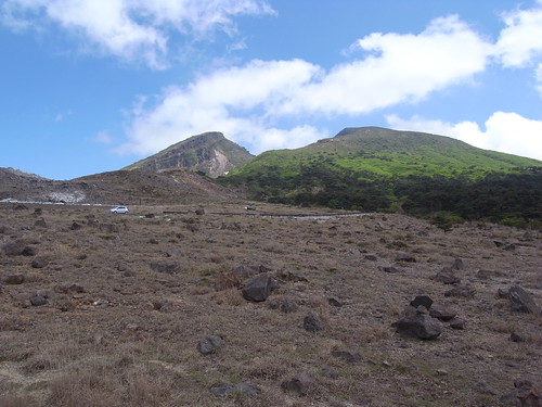
Woke up in the morning, packed up, and was out by 7:45. Crisp air, clear, great weather. Read in the guide book that Nakadake (中岳) is active and you can see it.... so figured I'd finish off touring around the 111 and check out what there was to see.

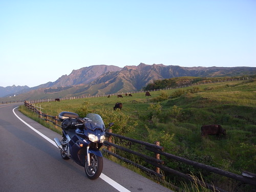
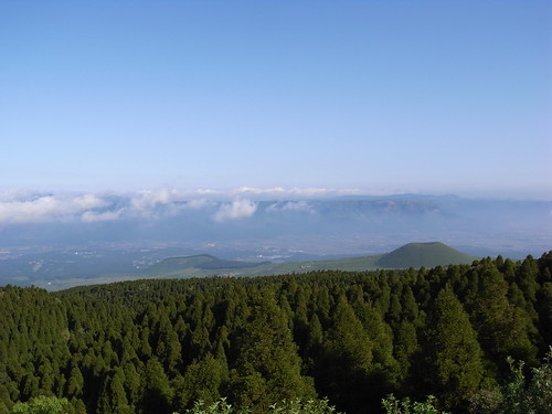
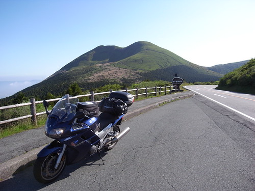
Morning views.

3537889455_24d9cf39b6.jpg


3537890089_53909aa579.jpg


It appears you can rent horses up here. I was so early that nothing was open and people were there setting up little tents and stands to sell stuff to unsuspecting tourists. ha!

3538703436_847f4a4651.jpg


Nothing open also meant nothing to eat. hmmm. couple of little chocolates left over, but that was it. yay.

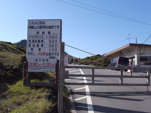
Got there at 8:10, opens at 8:30 to get to the top.

3537892841_321153474d.jpg


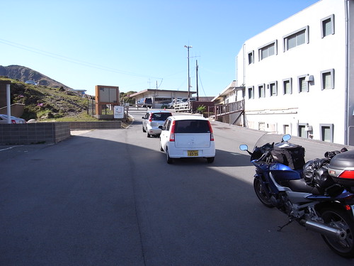
Third in line....

3538707022_fe786ef62d.jpg


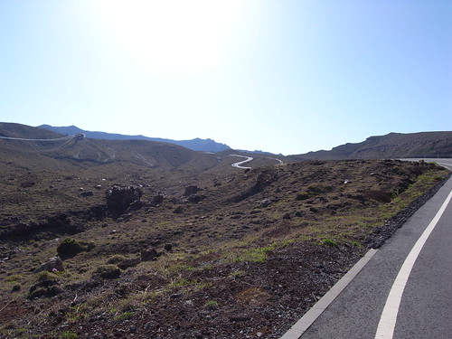
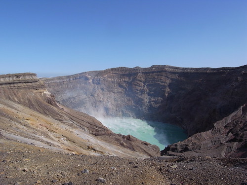
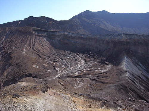
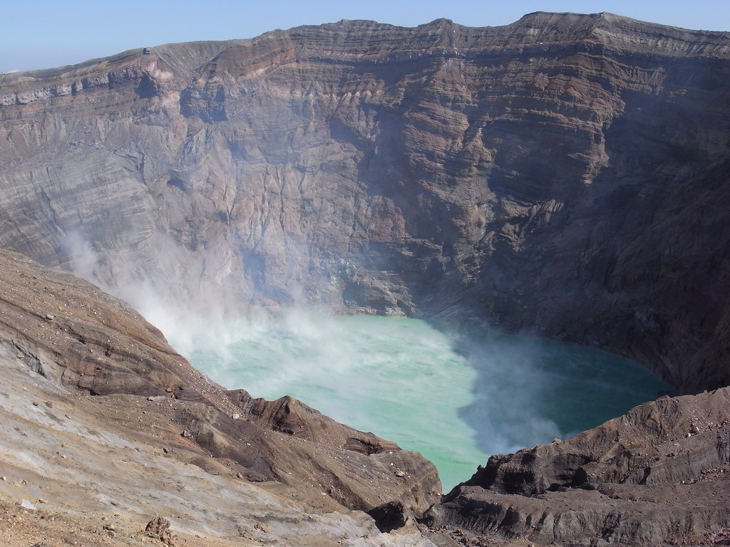
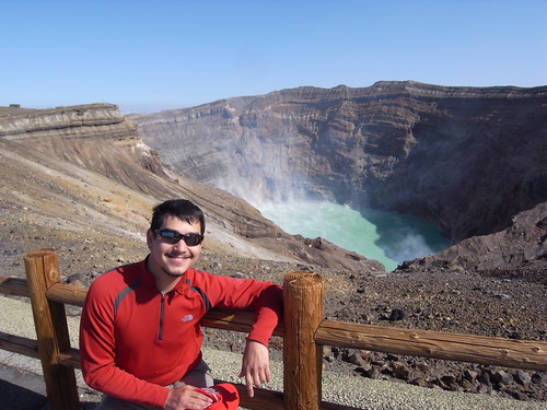
Then I got up to the peak.... It was unbelievable! What a sight, amazing what nature can do.

Thankfully the wind was blowing out, else it would have been pretty miserable. or just closed off.

3537901955_5a064ebe3f.jpg


to the right of the above:

3537899449_16fdc98943.jpg


More detail, though you can't see the burbling movement of the green water in this shot....

3537898891_cd07d53f06_b.jpg


This thing still erupts now and then, killing a few people here and there.

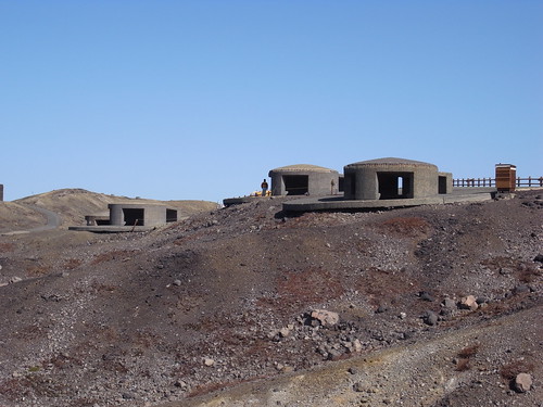
So they built these concrete shelters to try to mitigate dying.

3537900513_ce725d3a49.jpg


Our hero.

3538715970_0bc62db31c.jpg


3537906343_51fd01df92.jpg


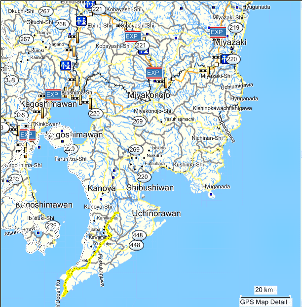
Here's the route. Well, the last part of it. stupid zumo.

3545193441_eaf448448e_o.gif


Left Aso via the 319 and 141. Small roads. OK, but slow. Found an outlet on 218 and took that to the highway to make some progress south. So from Matsubashi (松橋) to Kobayashi (小林) it was highway. Should have gotten off at Hitoyoshi (人吉) for the 221, but didn't notice that till too late.

From 319:

3537909135_9e19bf3d4d.jpg


3538723010_a045147e99.jpg


3537911907_79e070d010.jpg


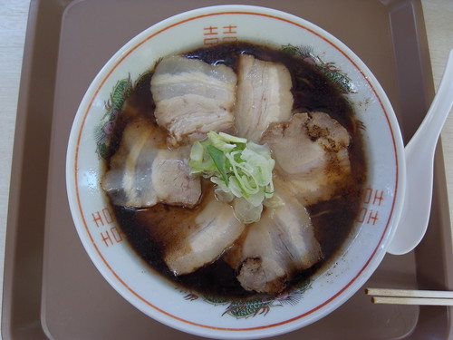
Lunch on highway reststop was tonkotsu ramen I think. There was a layer on top that made it look more soy-sauce based, but underneath was the milky white tonkotsu looking stuff.

3537912993_29a1bbb67b.jpg


After exiting Kobayashi, there is a lot of fun around the Ebino Plateau (えびの高原). Route 1 (Ebino Skyline?) to the 104, then heading out toward the east the 223.

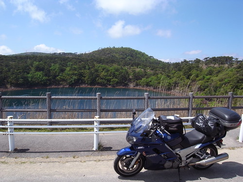
Remember this volcano crater lake? Didn't feel like hoofing it up the hill for the full panoramic. sorry.....

3537914561_f0cb4399da.jpg


3538727412_5e8c2fa144.jpg


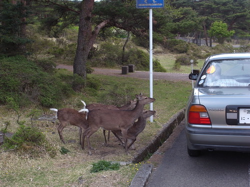
You can feed the wild animals from here as well.... hmmm...wild....?

3538728406_49f002749a.jpg


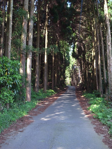
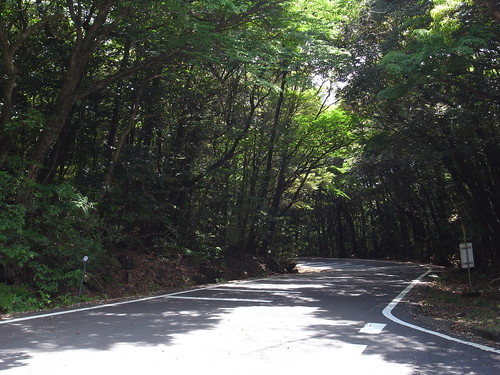
Great covered roads all through the Ebino area.

3537917783_b43b904db1.jpg


Here's the route. Well, the last part of it. stupid zumo.
3545193441_eaf448448e_o.gif


Left Aso via the 319 and 141. Small roads. OK, but slow. Found an outlet on 218 and took that to the highway to make some progress south. So from Matsubashi (松橋) to Kobayashi (小林) it was highway. Should have gotten off at Hitoyoshi (人吉) for the 221, but didn't notice that till too late.

From 319:

3537909135_9e19bf3d4d.jpg


3538723010_a045147e99.jpg


3537911907_79e070d010.jpg


Lunch on highway reststop was tonkotsu ramen I think. There was a layer on top that made it look more soy-sauce based, but underneath was the milky white tonkotsu looking stuff.

3537912993_29a1bbb67b.jpg
Hey Colin

sure love these ride reports from Japan, thanks for sharing. Craving the food available in Japan.

Alfredo

 
Headed east, tried to find some good roads, but wasn't as nice as I would have hoped.

From there, I aimed for the coast to catch the magnificent Miyazaki coastal road, the Nichinan Phoenix Road (日南フェニックスロード), aka 448.

3538731298_d738a7e059.jpg


3538731906_6b3da5e073.jpg


3538732572_3c8f4543c3.jpg


That's Kojima (island). Meant to have a bunch of monkeys on it. Didn't see an easy way to get there, so carried on.

3537920807_5772f426f9.jpg


3537922325_ea662aa66e.jpg


So while heading down the coast, I had to stop for a couple of things.... was a bit bizarre. There was the odd cat here and there, pretty normal. Then a couple of monkeys ran across the road. Always a bit odd to see them jump across the road.

Then I was coming up to something on the road.... quite small, like a leaf, but it was moving sideways. Slowed down a bit, peering around the windscreen to see what it was... it was a little crab! kinda cool, i aimed way ahead of it, so I'd avoid it. But as I got closer, the thing sped up very quickly! damn! Slammed the brakes, bit of ABS activity, went past it.... Looked back and it seemed to still be moving.... kept going.... Can't believe I had such a panic for a softshell crab looking dude. hehe.

Later a snake, this one not already run over, squiggled over the road. Man, some strange stuff out there. Do I really want to camp in this?

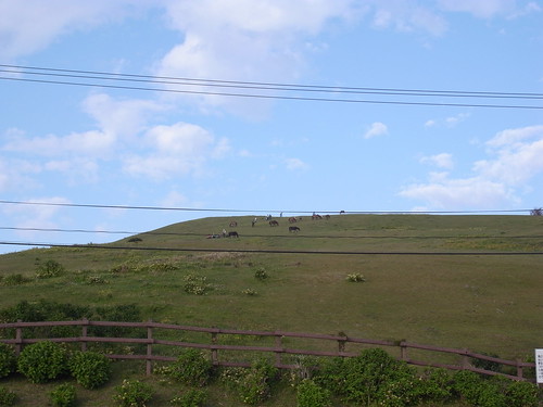
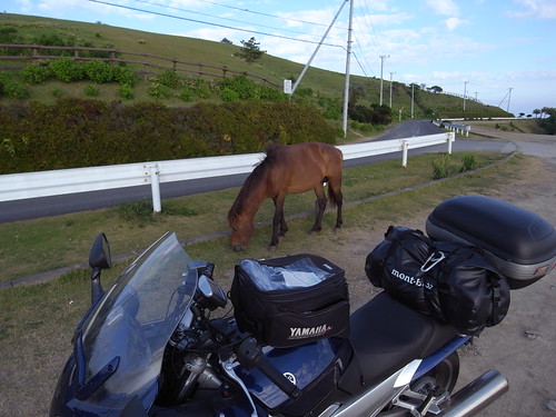
Continuing with the animal madness, I took a small detour onto Cape Toi (都井岬) to see these wild horses.

3537923813_afb4d1c97d.jpg


3538736938_5be8792401.jpg


Colin, great pictures of my favorite country other than the USA! Wish I could have been there again with you. Curious what software for mapping and for your GPS maps are you using? Appreciate your info, want to prepare for my next visit there. thanks

 
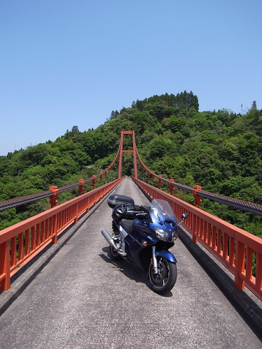
So the super-skinny roads w/o markings, like the bridge and the straight road through the forest... are those one-way? Or are they not as skinny as they seem to be?

 
Last edited by a moderator:
Top