FJRocket
Doctor Throckenstein !!!
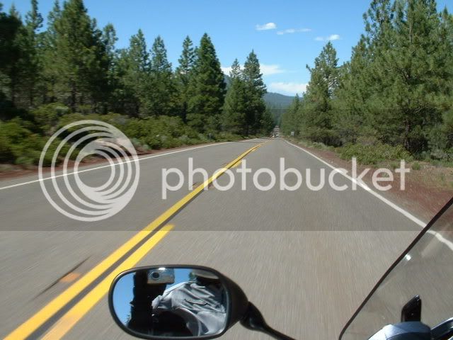
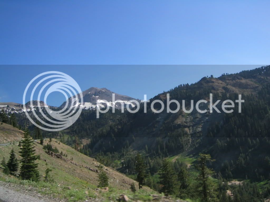
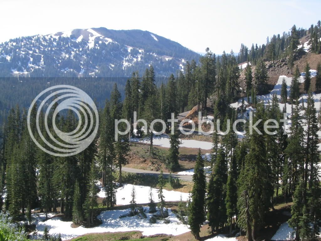
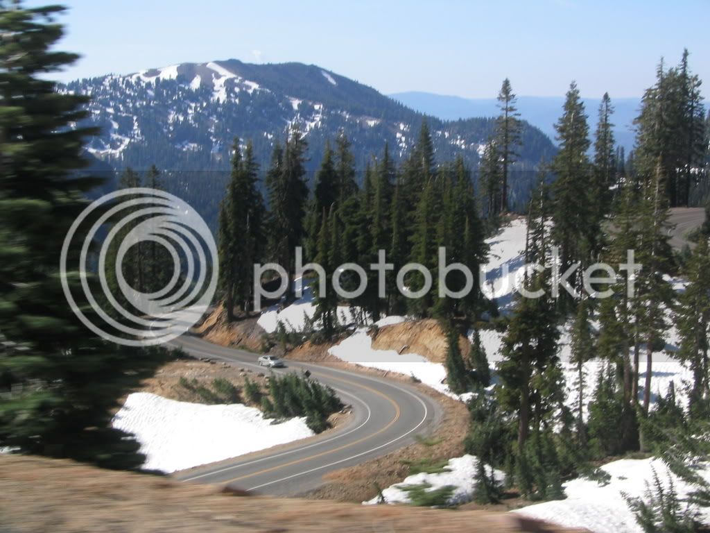
Was looking over the WFOBigDog routes, and was wondering what the ride up to Lassen Volcanic N P would be like as an alternate, or on a different day? Just thinking about another big loop, but just through the park and back:
Time Mile Instruction For Toward
Summary: 355.2 miles (7 hours, 33 minutes)
9:00 AM 0.0 Depart Hilton Reno Resort and Casino [2500 E 2nd St, Reno, NV 89502, (775) 789-2000] on E 2nd St (West) 174 yds
9:00 AM 0.1 Take Ramp (LEFT) onto US-395 24.2 mi US-395
9:14 AM 16.9 Entering California
9:20 AM 24.3 At exit 8, keep RIGHT onto Ramp 0.2 mi JCT CA-70 / Portola / Quincy
9:20 AM 24.6 Turn LEFT (West) onto SR-70 18.5 mi
9:43 AM 43.0 Turn RIGHT (North) onto Beckwourth Genesee Rd 9.6 mi
9:59 AM 52.7 Turn RIGHT (East) onto Crocker Mountain Rd 3.8 mi
10:05 AM 56.4 Road name changes to Milford Grade Rd [Milford Grade] 4.2 mi
10:12 AM 60.7 Turn LEFT (West) onto Local road(s) 1.2 mi
10:15 AM 61.8 Bear RIGHT (North) onto Local road(s) 1.5 mi
10:17 AM 63.4 Bear LEFT (West) onto Local road(s) 0.6 mi
10:18 AM 64.0 Bear RIGHT (North) onto Local road(s) 0.9 mi
10:19 AM 64.8 Bear RIGHT (North) onto Local road(s) 0.7 mi
10:21 AM 65.6 Bear RIGHT (North) onto Local road(s) 4.3 mi
10:27 AM 69.8 Turn LEFT (South) onto Local road(s) 1.2 mi
10:29 AM 71.0 Bear RIGHT (West) onto Local road(s) 0.4 mi
10:30 AM 71.4 Turn RIGHT (North-West) onto Local road(s) 1.4 mi
10:32 AM 72.8 Turn RIGHT (North) onto Local road(s) 0.1 mi
10:32 AM 72.9 Turn RIGHT (East) onto Local road(s) 54 yds
10:32 AM 72.9 At Murdock Crossing, return West on Local road(s) 54 yds
10:33 AM 72.9 Turn RIGHT (North) onto Local road(s) 0.4 mi
10:34 AM 73.4 Bear RIGHT (North-East) onto Local road(s) 109 yds
10:34 AM 73.5 Bear LEFT (North-West) onto Local road(s) 2.1 mi
10:37 AM 75.6 Bear RIGHT (North) onto Local road(s) 0.1 mi
10:37 AM 75.7 Road name changes to Janesville Grade Rd 2.9 mi
10:43 AM 78.6 Keep STRAIGHT onto Janesville Grade Rd [NF-28N 01] 5.7 mi
10:52 AM 84.3 Keep STRAIGHT onto Janesville Grade Rd 5.9 mi
11:05 AM 90.2 Turn LEFT (North-West) onto US-395 8.4 mi
11:15 AM 98.6 Keep STRAIGHT onto SR-36 3.6 mi
11:20 AM 102.2 At Eddies Fast Gas [2425 Main St, Susanville, CA 96130, (530) 252-1576], stay on SR-36 [Main St] (West) 6.5 mi
11:29 AM 108.7 Keep RIGHT onto Local road(s) 87 yds
11:29 AM 108.8 Bear RIGHT (North-West) onto SR-44 [Feather Lake Hwy] 46.0 mi
12:24 PM 154.7 Turn LEFT (South) onto SR-44 [sR-89] 0.4 mi
12:25 PM 155.2 At Old Station, stay on SR-44 [sR-89] (West) 13.0 mi
12:40 PM 168.2 Turn LEFT (East) onto SR-89 [Lassen Peak Hwy] 34.1 mi
1:21 PM 202.3 At SR-36, Mill Creek, CA 96061, turn LEFT (South) onto SR-36 [sR-89] 22.6 mi
1:48 PM 224.9 Turn RIGHT (East) onto SR-89 33.5 mi
2:29 PM 258.3 Bear LEFT (East) onto SR-70 [sR-89] 10.2 mi
2:41 PM 268.5 At Quincy, stay on SR-70 [sR-89] (East) 23.1 mi
3:09 PM 291.6 Turn RIGHT (South) onto SR-89 18.0 mi
3:31 PM 309.6 Bear LEFT (South) onto SR-49 [sR-89] 4.9 mi
3:36 PM 314.5 Turn RIGHT (South) onto SR-89 0.9 mi
3:38 PM 315.4 At Sierraville Superstore [630 , Sierraville, CA 96126, (530) 994-3820], stay on SR-89 (South) 8.9 mi
3:48 PM 324.3 Bear LEFT (East) onto Henness Pass Rd 17.6 mi
4:17 PM 341.9 Entering Nevada
4:17 PM 341.9 Road name changes to Dog Valley Rd 0.3 mi
4:18 PM 342.2 Turn LEFT (East) onto Bridge St 0.6 mi
4:20 PM 342.8 Turn LEFT (East) onto I-80 Bus [sR-425] 2.4 mi
4:24 PM 345.3 Take Ramp onto I-80 8.8 mi I-80
4:32 PM 354.1 At exit 15, turn RIGHT onto Ramp 0.2 mi US-395 / Susanville / Carson City
4:32 PM 354.4 Take Ramp (RIGHT) onto US-395 0.5 mi US-395 / Carson City
4:32 PM 354.9 At exit 67, keep RIGHT onto Ramp 164 yds Glendale Ave
4:32 PM 355.0 Keep LEFT to stay on Ramp 32 yds
4:32 PM 355.0 Turn LEFT (East) onto E 2nd St 0.2 mi
4:33 PM 355.2 Arrive Hilton Reno Resort and Casino [2500 E 2nd St, Reno, NV 89502, (775) 789-2000]
SUMMARY
Driving distance: 355.2 miles




![fjackets Real Lambskin Leather Biker Jacket — Quilted Cafe Racer Zip Up Moto Leather Jackets For Men | [1100085] Johnson Brown, XL](https://m.media-amazon.com/images/I/41I7Pm1f+vL._SL500_.jpg)


