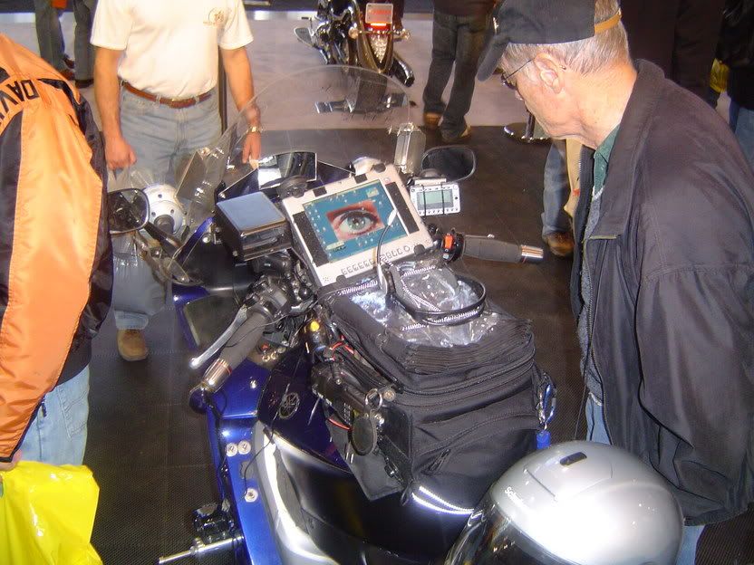
I'm not sure there is concensus which is best, but would bet that Microsoft Streets & Trip and Delorme Street Atlas are towards the top of most commonly used mapping software. On the bike various GPS including the Garmin 2610 seem popular choices as well.
I believe IBA's mapping mileage is proprietary or none of the above. Their mileage seems always close, but not exactly that of S&T.
Their role is different than the rider. The rider wants to find a certain route and directions to accomplish that route, while the IBA's is more making sure the rider rode the route they claimed.


