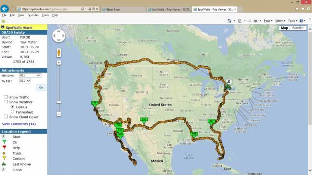
David E.B. Smith posted this to the LDRider list [subj: 48 Optimizing the state trip] as well, with additional links , including the PhD candidate's own page and the code repository (if you know what that is, it may be useful; if not, give it to your "tech guy")
Here's a piece entitled "Computing the optimal road trip across the U.S." complete with code so you too can compute your own 48 state trip using the Google Maps API.
The author's trips hit National Landmarks, Historic Sites, Parks and Monuments, or Interesting Cities, but presumably could be tweaked to just catch the corners of the states.
For dummies:
https://lifehacker.com/visit-the-top-city-or-landmark-in-every-us-state-with-t-1690526910
For geeks:
https://www.randalolson.com/2015/03/08/computing-the-optimal-road-trip-across-the-u-s/
For uber-geeks (with code):
https://nbviewer.ipython.org/github/rhiever/Data-Analysis-and-Machine-Learning-Projects/blob/master/optimal-road-trip/Computing the optimal road trip across the U.S..ipynb
I'm looking tinker with this myself.
Quote function isn't working right for me! My reply is below...
The "For Geeks" link looks interesting. I am doing a long trip this summer and will have a look at this in some detail. While it would be cool to do the whole 48 (just for bragging rights), I would focus on multiple sites in some states and skip others all together. While I would like to see many of the POI listed, I would want to make my own. The "geek" link breaks it down into individual interactive Google maps that can be played with. I would start with these and transfer to S&T and ultimately Basecamp. Google Street View is enormously helpful in the early planning stages. The total distance (13,000+ miles) is not too far off what I am considering for a 30+ day trip.


