Niehart
Pie Smuggler
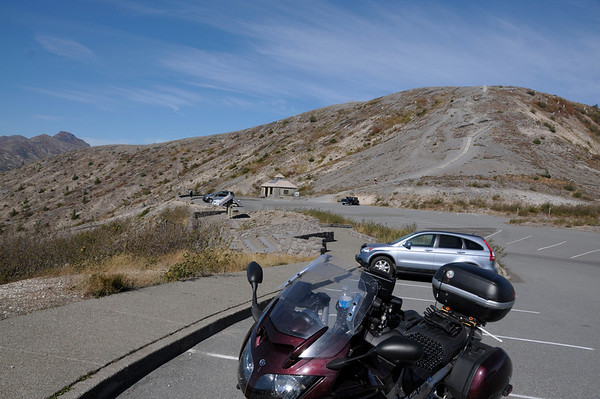
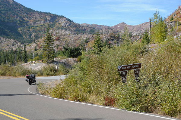
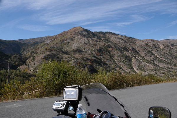
I rode to Windy Ridge, Mt St. Helens (the mountain that forgot to take her earth control pills -
] on NF-99 yesterday [10/7].
If you have not taken this ride put it on your bucket list, it's well worth the cost of ruff roads. NF-25 is nasty, not so bad from the south but from the north end out of Randle, WA, let's just say it checks your suspension.
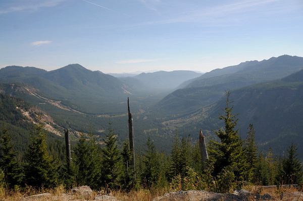
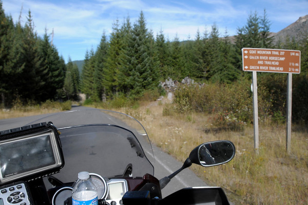
I have always wondered about NF-26 which is about half way up to Windy Ridge on NF-99. NF-26 goes north starting by Miners Car and Meta Lake View Point on NF-99. I had checked for info and never found enough [is it paved all the way through; are there view point; are there locked gates; etc] to go exploring.
Saturday just seemed like the right day to find out.
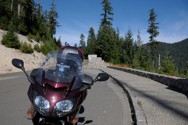
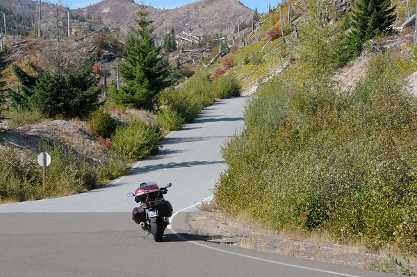
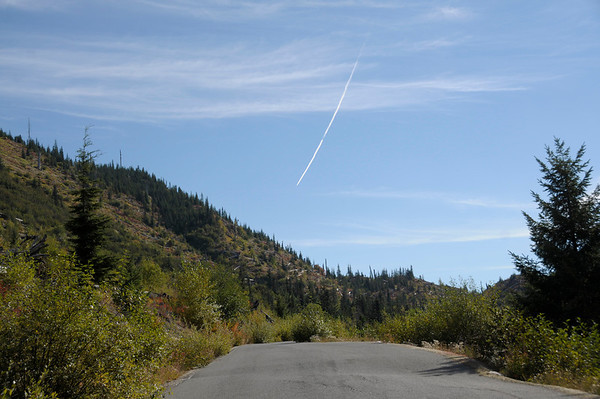
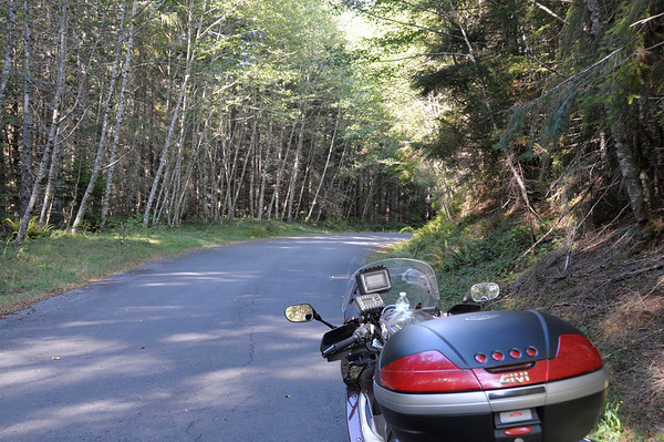
Yes, NF-26 is paved, single lane [we don't need no stinking white lines] all of the way through, though there are some small gravel spots and some holes that would eat a bike if you were not paying attention.
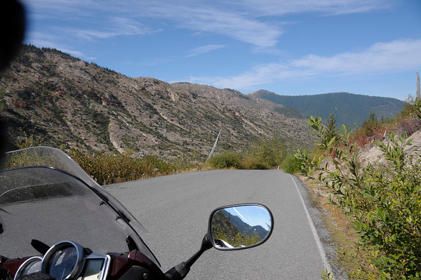
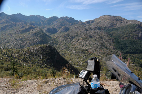
Yes, NF-26 has some awesome view points. Ryan Lake Interpretive Site is awesome. https://www.fs.usda.gov/recarea/mountsthelens/recarea/?recid=31630
Yes, NF-26 has gates but they are only locked when the road conditions are impassable.
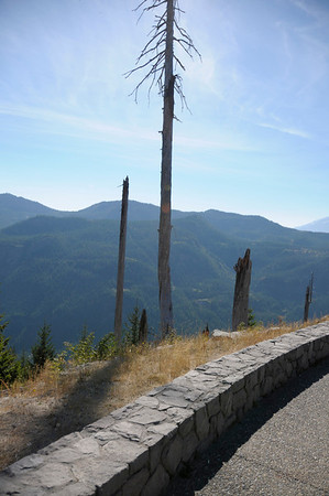
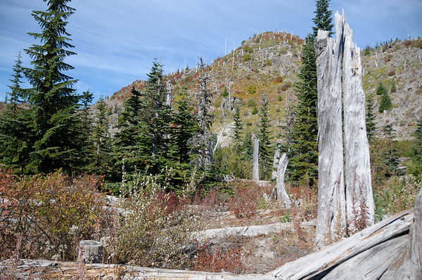
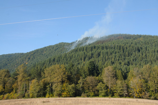
Some much of the timber along NF-99 was logged after the eruption that you do not get a real picture of the blown down trees. NF-26 still has sites with the original timber. It also gives you a look at how the heat and wind waves flowed. Truly awesome and yet, very scary.
So, in this riders humble opinion, this little road is well worth the drive. The next ride that way, I will ride up NF-26 to Windy Ridge and back down on NF-99.
What a great day, sunshine; temp from 37 degrees up to 73 degrees; new road; no traffic; no deer. Damn I love my FJR and the places it takes me.
PS: Here is site that will give you more info then you ever wanted about St. Helens: https://www.dartmouth.edu/~volcano/texts/DekMtStHelen.html


![fjackets Real Lambskin Leather Biker Jacket — Quilted Cafe Racer Zip Up Moto Leather Jackets For Men | [1100085] Johnson Brown, XL](https://m.media-amazon.com/images/I/41I7Pm1f+vL._SL500_.jpg)


