OrangevaleFJR
R.I.P. Our FJR Riding Friend
Sherri and I were bummed to miss the great ride with friends on the Occidental ride yesterday. While all of our friends were riding, we were watching my son play lacrosse. That was fun too. We missed riding so much with the great weather that we decided to ride to St. Helena today in the Napa Valley. The weather was perfect with sun, few clouds at all, 71 degrees and mostly light winds, except on the flats of the Central Valley.
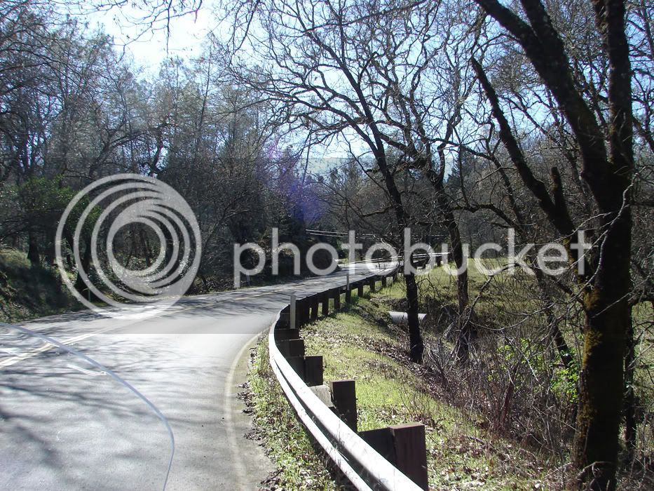
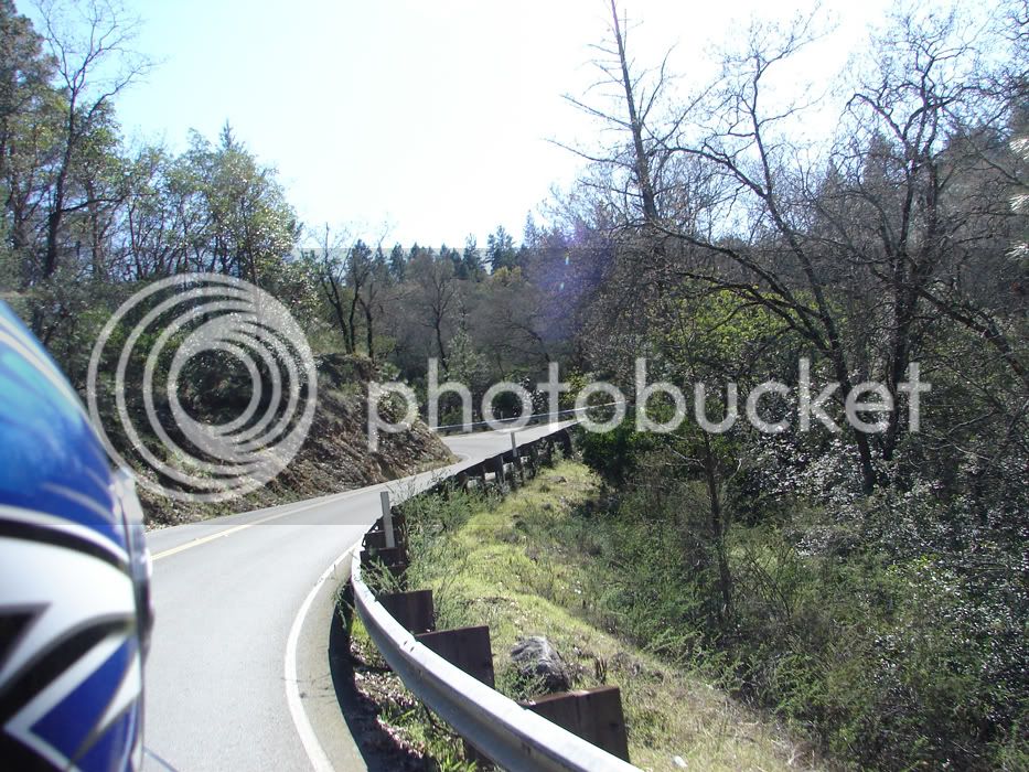
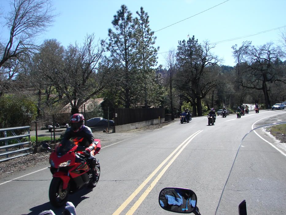
Were you the guy on an 05, blue helment, on Lower Chiles Road that waved to us?
This time of year, from now until June, is the best in Northern California for weather and greenery. While the Fall is also great for riding here, we are certainly entering the most scenic time of year. The greens are incredibly rich and the wildflowers are blooming. With the high volume of rain we had we might get as many flowers as we had last year! That would be a photographical treat that Sherri and I will have to take advantage of!
Our route started with a quick escpape from Orangevale and the Sacramento area so we superslabbed East on Hwy 50 to West I-80 to Mace Blvd in Davis where we turned North. From there, we rode through the town of Davis, gassed up, and got into the agricultural lands. We left our house at 12:20 in the afternoon
Here is a map of our route:
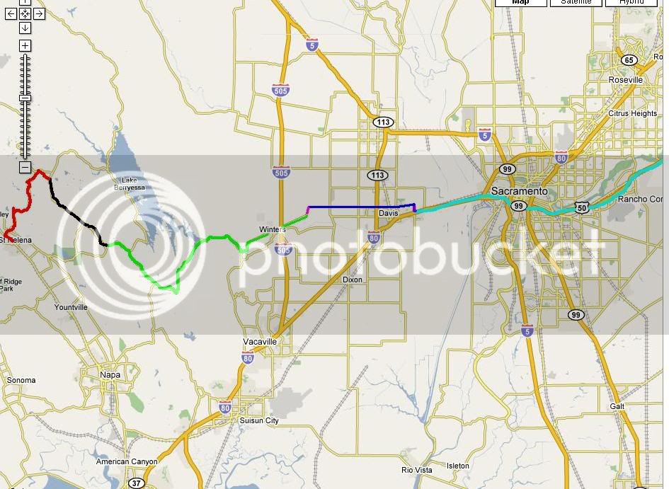
From Left to Right our route followed:
Hwy 50 West to where it merges with I-80 West
Exit Mace Blvd North (where the route color changes to blue)
Mace bends hard Left to become Covell Blvd through Davis
Covell becomes County Road 31.
County Road 31 bends Left in a fast sweeper to become County Road 93A (purple)
County Road 93A bends right to become Russell Bouldevard through Winters when it turns into 128 (green)
We took 128 past Moskovits corner and all the way up to Lower Chiles Road for a right turn. We then took Chiles Pope Valley Road. (black)
We forked Left onto Howell Mountain Road, which turns into Deer Park Road and takes us to 128 again, just North of St. Helena so we turned Left to go to town and eat! (red)
So...how about some pics of the day's travel?
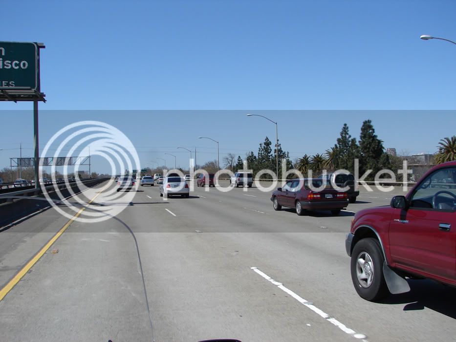
Well, we seldom see pics of superslabbing. Here is the superslab close to downtown Sacramento. It has the characteristic traffic building up due to the bay area people returning home from Lake Tahoe. We should put up a Sunday only toll and rake it in ;-)
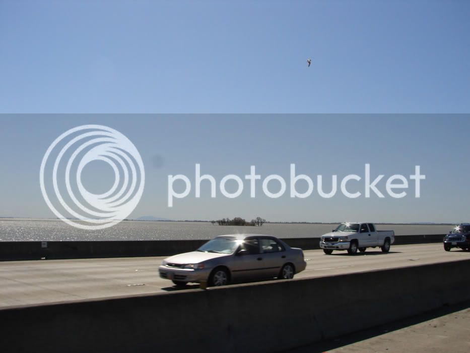
The Yolo Causeway takes us over emergency overflow areas that are flooded to relieve pressure from the Sacramento River's levy system. Guess what...they needed help. Here is the flooded area with Mount Diablo on the horizon:
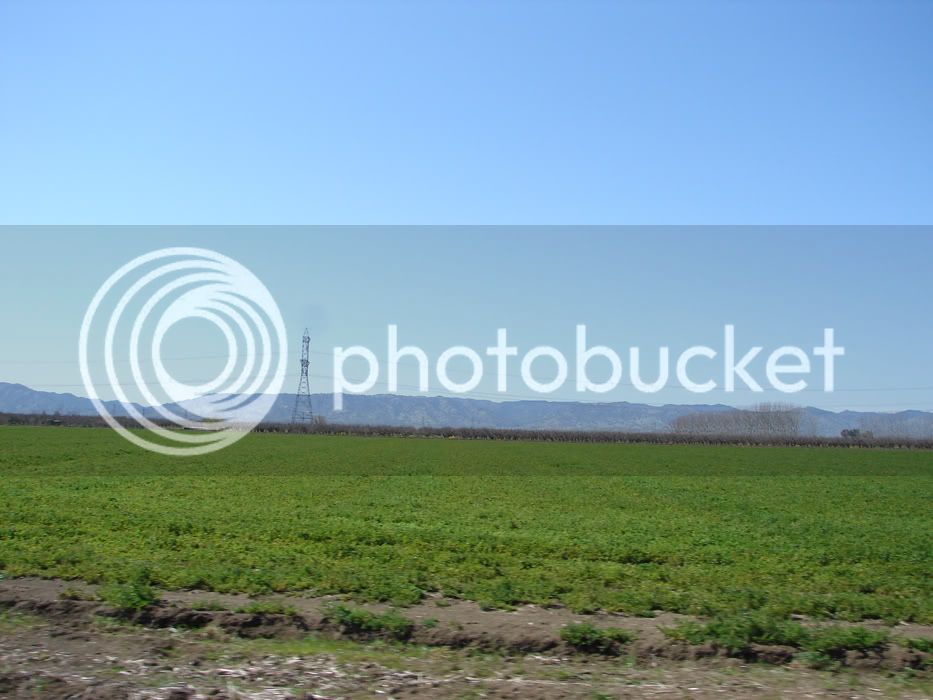
If the fields haven't been recently plowed, they are turning green. Off of County Road 31, here is a field with the mountains in the background. The roads in the mountains are beckoning my FJR to them and she goes with a seemingly pumped up pace!
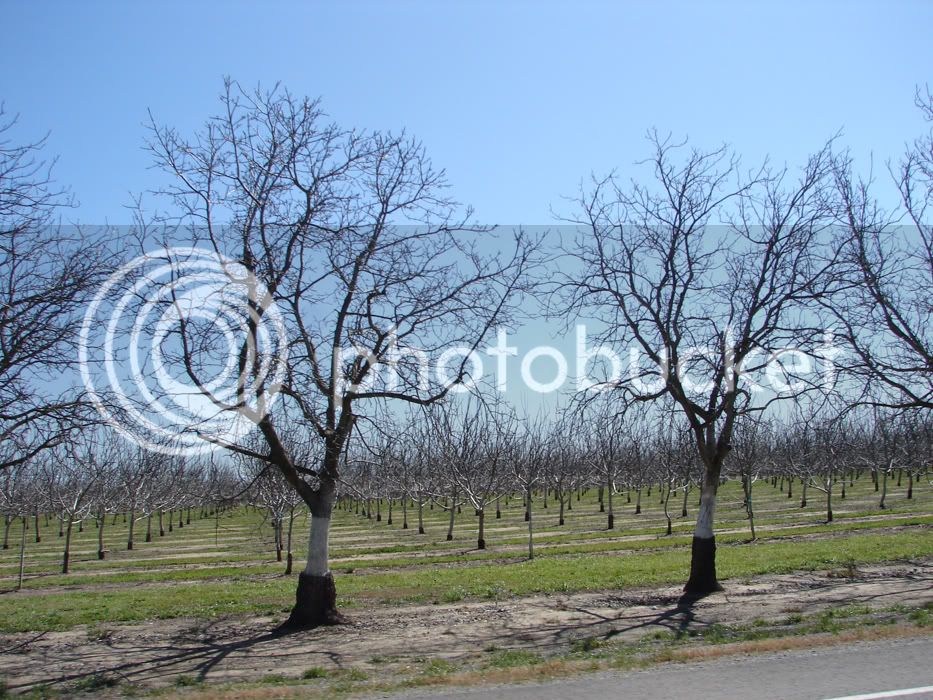
If we ride through agriculture we'll take pictures of it and share. We aren't farmers, but are saving up to buy some land for an orchard.
More pics next post...
Were you the guy on an 05, blue helment, on Lower Chiles Road that waved to us?
This time of year, from now until June, is the best in Northern California for weather and greenery. While the Fall is also great for riding here, we are certainly entering the most scenic time of year. The greens are incredibly rich and the wildflowers are blooming. With the high volume of rain we had we might get as many flowers as we had last year! That would be a photographical treat that Sherri and I will have to take advantage of!
Our route started with a quick escpape from Orangevale and the Sacramento area so we superslabbed East on Hwy 50 to West I-80 to Mace Blvd in Davis where we turned North. From there, we rode through the town of Davis, gassed up, and got into the agricultural lands. We left our house at 12:20 in the afternoon
Here is a map of our route:

From Left to Right our route followed:
Hwy 50 West to where it merges with I-80 West
Exit Mace Blvd North (where the route color changes to blue)
Mace bends hard Left to become Covell Blvd through Davis
Covell becomes County Road 31.
County Road 31 bends Left in a fast sweeper to become County Road 93A (purple)
County Road 93A bends right to become Russell Bouldevard through Winters when it turns into 128 (green)
We took 128 past Moskovits corner and all the way up to Lower Chiles Road for a right turn. We then took Chiles Pope Valley Road. (black)
We forked Left onto Howell Mountain Road, which turns into Deer Park Road and takes us to 128 again, just North of St. Helena so we turned Left to go to town and eat! (red)
So...how about some pics of the day's travel?
Well, we seldom see pics of superslabbing. Here is the superslab close to downtown Sacramento. It has the characteristic traffic building up due to the bay area people returning home from Lake Tahoe. We should put up a Sunday only toll and rake it in ;-)

The Yolo Causeway takes us over emergency overflow areas that are flooded to relieve pressure from the Sacramento River's levy system. Guess what...they needed help. Here is the flooded area with Mount Diablo on the horizon:

If the fields haven't been recently plowed, they are turning green. Off of County Road 31, here is a field with the mountains in the background. The roads in the mountains are beckoning my FJR to them and she goes with a seemingly pumped up pace!

If we ride through agriculture we'll take pictures of it and share. We aren't farmers, but are saving up to buy some land for an orchard.

More pics next post...
Last edited by a moderator:





![fjackets Real Lambskin Leather Biker Jacket — Quilted Cafe Racer Zip Up Moto Leather Jackets For Men | [1100085] Johnson Brown, XL](https://m.media-amazon.com/images/I/41I7Pm1f+vL._SL500_.jpg)


