WFO

Yamaha FJR Motorcycle Forum

Help Support Yamaha FJR Motorcycle Forum:

This site may earn a commission from merchant affiliate links, including eBay, Amazon, and others.

radman

R.I.P. Our Motorcycling Friend
Joined
Jun 14, 2005
Messages
5,236
Reaction score
8
Location
Lakeville,MN
Odots obviously been here before-note the parking job...nice Nash d00d....

16487_6_b.jpg


Toe makin his moves-"quit the pillion my ass, I'll show her"

16487_13_b.jpg


Mine and Rogues room-Sound Proofed for Your Protection

16487_22_b.jpg


TDubs room-non PayPal® only...

16487_14_b.jpg


Somehow Toe got Leslie Nielson and some skank into the act-first base comin up!

16487_7_b.jpg


Where most will be passin' out......

16487_19_b.jpg


Just trying to get folks pumped, 21 days and countin'!! :yahoo:

 
Last edited by a moderator:
And for those riding too:

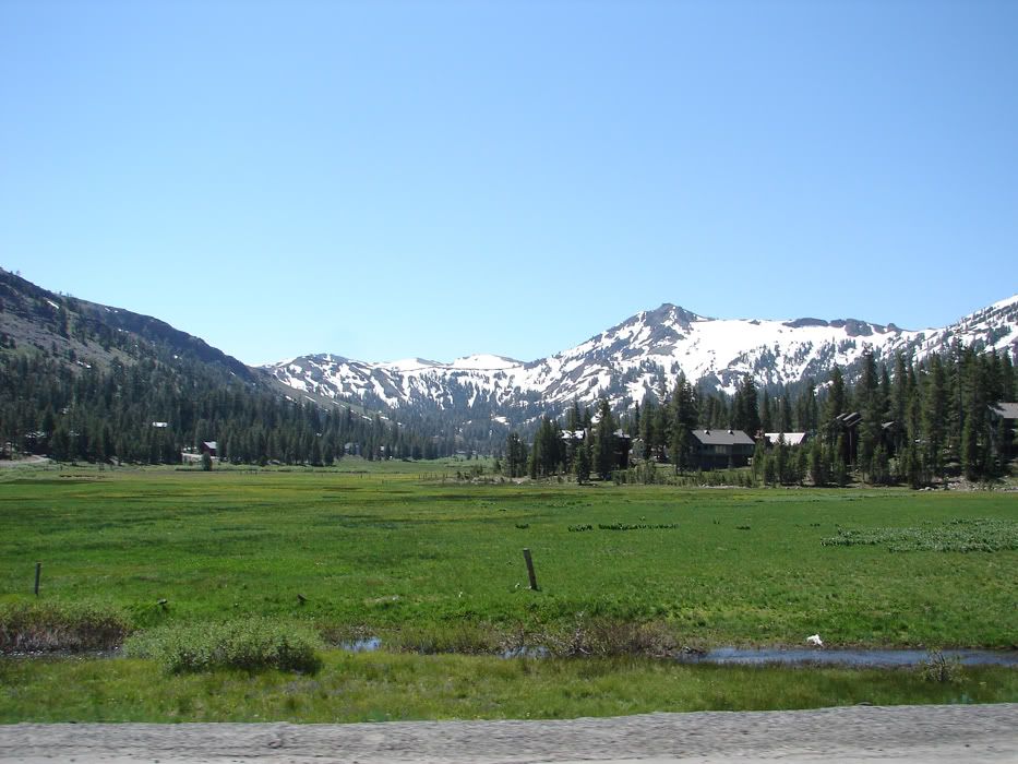
A view from Kit Carson Pass

DSC04948.jpg


A ride break

DSC04956.jpg


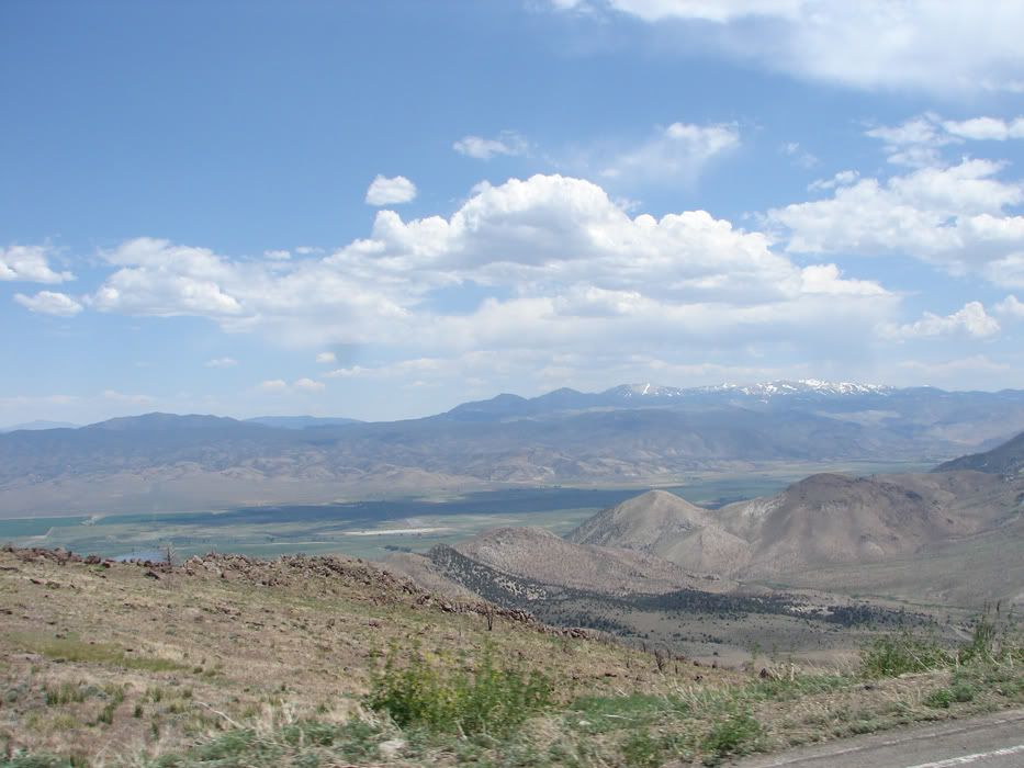
A view from Monitor Pass

DSC05012.jpg


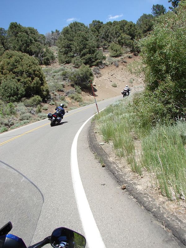
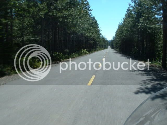
What it will be like keeping up with Radman:

DSC05021.jpg


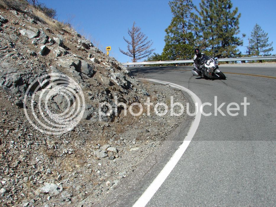
Highway 49 anyone?
DSC01292.jpg
I was planning on riding a Hwy 49 route on Saturday, Andrew. Probably go north on 395 from Reno to 70 West, then quickly south toward Sierraville and over the usual route along the Yuba River to Nevada City. Get off on Brunswick Road in Nevada City to take 174 back to Colfax and then old Hwy 40 back (all but the Baxter to Cisco Grove section that has to be done on 80) to Truckee, then 267 to Kings Beach, 28 to Mount Rose Highway and then back that way to Reno and the Hilton.

A view from Kit Carson Pass
DSC04948.jpg
Indeed it is from Carson Pass looking south, but what you are looking at in that picture is the Kirkwood ski resort. From the highest peak in the center of the pic to the right beneath those rock towers is "The Wall" -- much steeper than it looks from that pic. Descending from that highest peak on the left side is "The Cirque" -- normally closed and OB all year. There was so much snow this year that it was actually open late this season -- nearly vertical and mostly only used for extreme skiing championships. The meadow in the foreground is part of their cross country skiing area.

 
I was planning on riding a Hwy 49 route on Saturday, Andrew. Probably go north on 395 from Reno to 70 West, then quickly south toward Sierraville and over the usual route along the Yuba River to Nevada City. Get off on Brunswick Road in Nevada City to take 174 back to Colfax and then old Hwy 40 back (all but the Baxter to Cisco Grove section that has to be done on 80) to Truckee, then 267 to Kings Beach, 28 to Mount Rose Highway and then back that way to Reno and the Hilton.
That sounds pretty good to me!
+1. Sounds good to me too. Do I see a new ride forming? PM. <>< :dirol:

 
You will love the route exskibum is planning for Saturday! There are no pictures that can describe the ride along the Yuba River on Hwy 49. The scenery and vistas change at every turn.

Here a a few pictures taken on last weekend's blast to the Reno Hilton:

Riding along Historic Hwy 40, North Fork of the American River.

RenoHiltonTrip001.jpg


At times you get away from the river. Its hard to believe that I-80 is less than 50 yards from these photos. but you cross over and under the freeway 4 or 5 times.

RenoHiltonTrip002.jpg


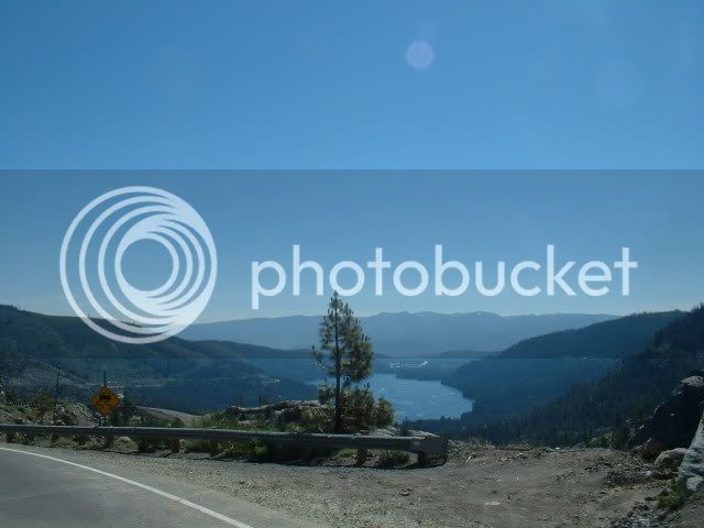
Once you pass the ski resort areas of around Norden you begin the decent of Old Donner Grade. Fairly nice vista, huh?

RenoHiltonTrip004.jpg


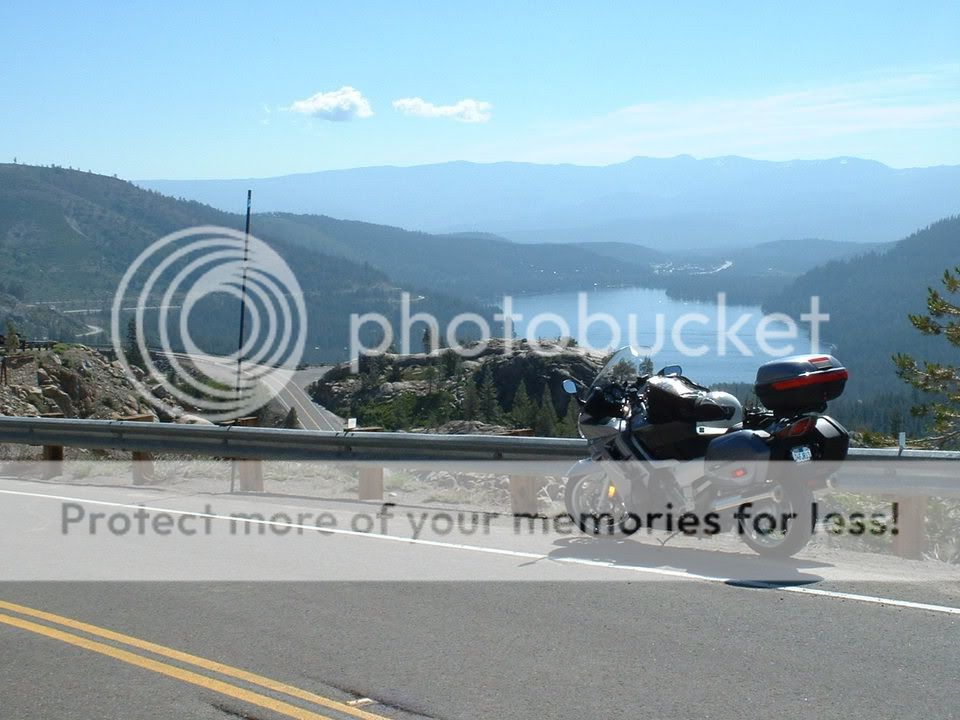
Another view from the Old Donner Grade. Majestic!

Lassen-Shasta008.jpg


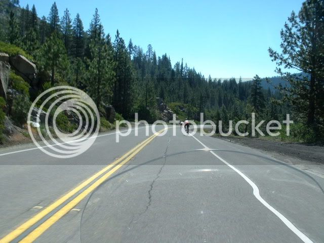
In the summer, one must learn to "share the road". I (and the Bluestreeks) was pacing these guys at 35 mph for the last 1 1/2 miles down to the lake (elev. 5935')

RenoHiltonTrip005.jpg


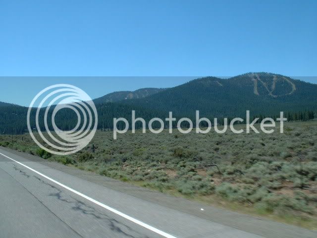
A view from NV Hwy 267 South toward the Squaw Valley ski resort. Can you see the ski runs? On both mountains?

RenoHiltonTrip007.jpg


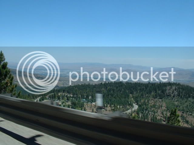
From the East side of Mount Rose looking across the valley to Reno. That tall, white square thing in the left 1/3 of the city is the Hilton.

RenoHiltonTrip009.jpg


Last edited by a moderator:
Bitchin!! :grin:

Can't wait boys!! :hyper: 3 weeks from today, I will be in Reno by now!

 
Last edited by a moderator:
A view from NV Hwy 267 South toward the Squaw Valley ski resort. Can you see the ski runs? On both mountains?
RenoHiltonTrip007.jpg
Un petite correcion, Mssr. -- that's Northstar (aka "Flatstar" to locals), not Squaw (which no one would call flat). The most prominent runs you see in that shot are the Schaeffer's Camp area (back side) of Northstar. Squaw is off Hwy 89 between Truckee and Tahoe City -- up a valley about 1.5 miles from 89, and there are no prominent sage brush areas there, unlike the Martis Valley area through which Hwy 267 passes (and from which that shot was taken). Coincidentally, however, you can see the Schaeffer's camp area of Northstar from the top of Squaw.

As Mike notes, and as Andrew has noted (and illustrated in these pages with Sherry's help) -- the Hwy 49 ride is one of we NorCal riders' favorites for good reason. I'll add a couple esoteric side/back road routes to make it more interesting. One for sure is in the Gold Run to Baxter area -- too hard to describe, you really have to be shown it to know where to turn. I may also go Lakeshore to Country Club Drive in Income Village as the route off 28 to Mount Rose Highway -- depends on a couple things.

One way or another, boys and girls, we're gonna be having some fun and enjoying some of nature's beauty and one another's companionship BEFORE we head back to get drunk at the Hilton. (Wish I could get drunk Saturday night -- I actually have to be in South Lake Tahoe most of the day Sunday for a client, and THAT is unlikely to be any fun -- esp. if I were to have a hangover.)

 
Last edited by a moderator:
Is the above one of the planned rides, a recently added ride, a wild ass thrown in ride, and if the latter, is it private, and if not, how long is it? As you can see, I have questions....... :p

 
Un petite correcion, Mssr. -- that's Northstar (aka "Flatstar" to locals), not Squaw (which no one would call flat). The most prominent runs you see in that shot are the Schaeffer's Camp area (back side) of Northstar.
I bow to your superior knowledge of the area, sir.

@Radman, this is a ride exskibum has proposed for Saturday. If there was one ride I would make, this is THE ONE. For me, as a local, some of the best riding and prettiest scenery. As with all Sierra mountain rides, a rider must "rid his own ride" and "ride his sight lines", but trust me, take this ride!


Latest posts

Top