s.ga.rider
Well-known member
Any apps to use besides maps and map quest? I'm looking to plan around 500 mile a day stop points along my route and get a game plan for a 3 week trip.


Absolutely agree. I've spent a full day on the freeway covering many, many miles and been ready for more. I've also spent a day charging through the mountains doing less than half the miles and been flat worn out.There will be lots of motorcycle days that will take all your energy and all the available daylight but will not come close to 500 miles. Those are usually the best motorcycle days.
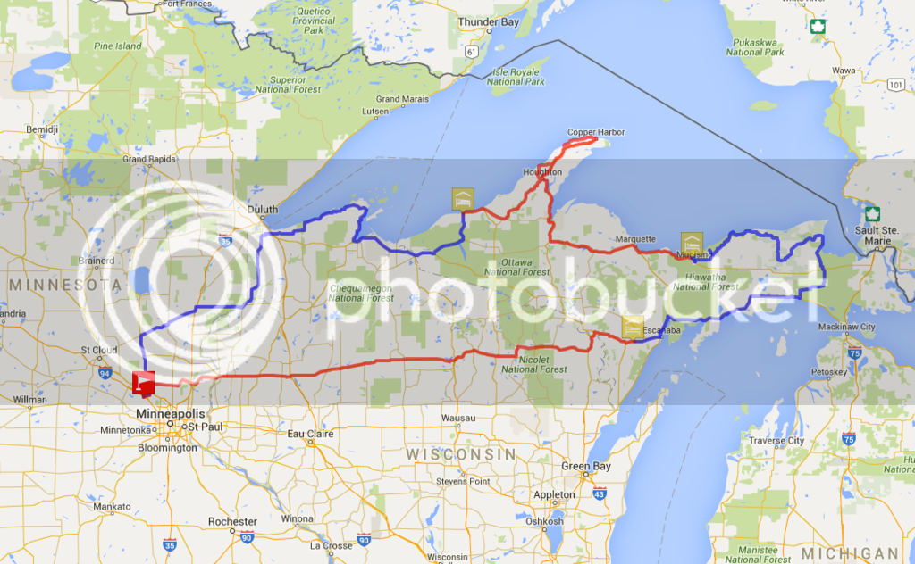
This is very similar to the process I use. Drawing the route up in googlemaps allows for easily sharing it with others to get their input, too, which is nice, given that the guy I plan most with is about 3 hours away. We then export this data from google into an app called CoPilot, which we both have on our phones, and setup on our bikes so that we get turn by turn directions in the speakers in our helmets.Drag a route using Google Maps (needs a real computer, not a tablet). Then use my on-line utility to convert the URL to an itinerary file for my Tomtom. There are utilities out there that would convert the Google URL to files for other satnavs.
While it does (now) limit your number of waypoints, you can add another layer and start counting again. I'm not sure how this will work when exporting to another file format, as I haven't tried it yet, but here's a link to one I started planning last weekend which uses multiple layers to get the entire route together (except from point 10 back to point 1, google doesn't seem to believe that there's a ferry there).For a quick overview and very preliminary planning, Google maps is probably the quickest. I will often mark points on the map and "connect the dots". It is severely limited because the number of waypoints is restricted to something like 15 or so (can't remember)which isn't much good for a long trip unless its a direct route. Also, GM doesn't download directly to GPS. Very easy to use and "Street View" in invaluable in planning. I use this in conjunction with other programs.
Okay, so I find one gravel road...I usually just follow Wheaton down the gravel roads...
Enter your email address to join: