dragonchef
Well-known member
Time of Departure: 06:35
ODO 1185
Temperature at departure 72º F
Max Temp, cruising speed, 91º F
Time of return: 17:55
ODO 1439
Temperature at return 86º F
Total miles traveled : 254
Time en route: 11H 20m
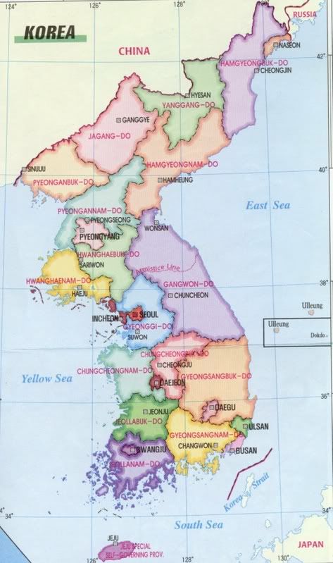
Orientation Graphic
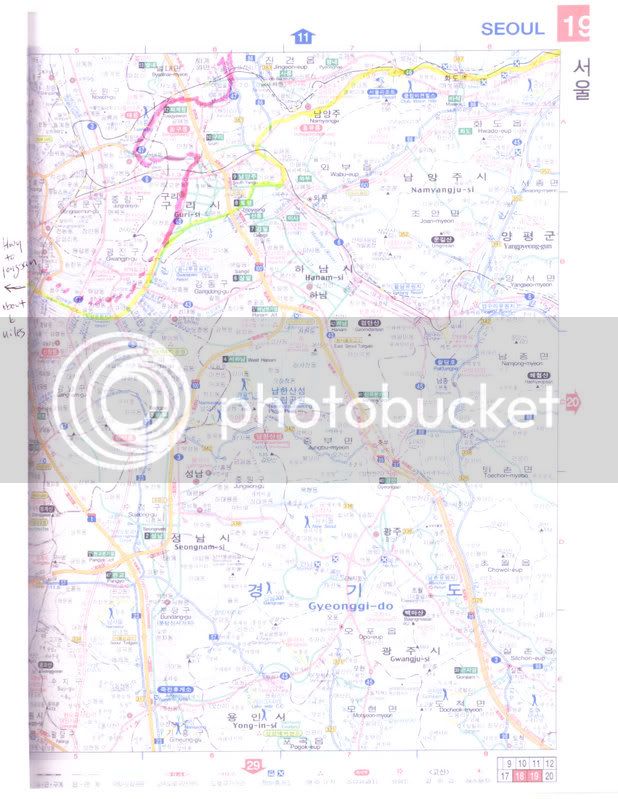
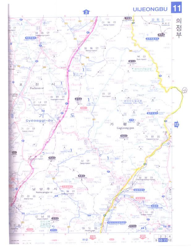
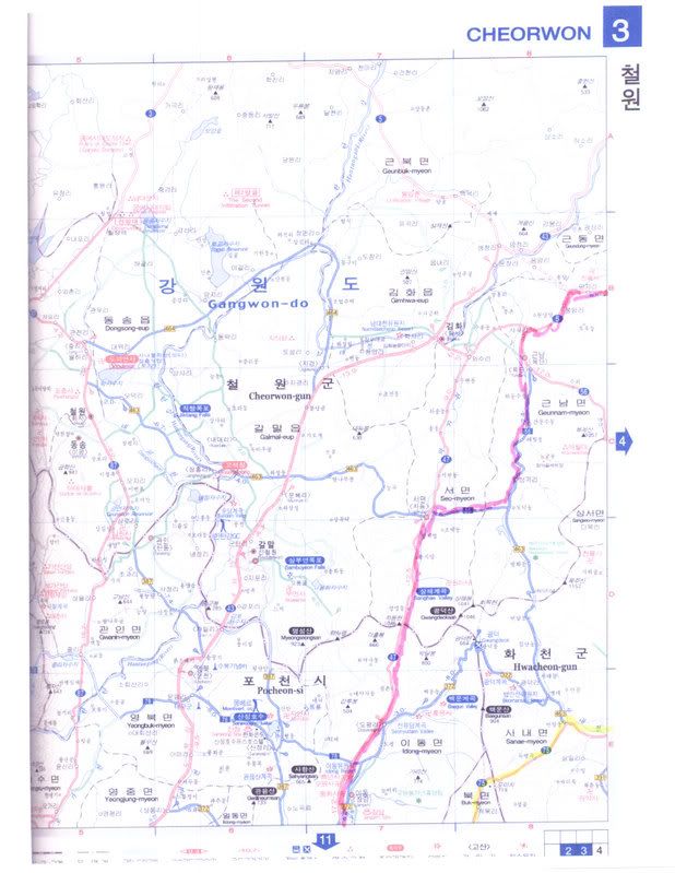
Detail Maps
Note: Yellow highlight is outbound and pink is return route.
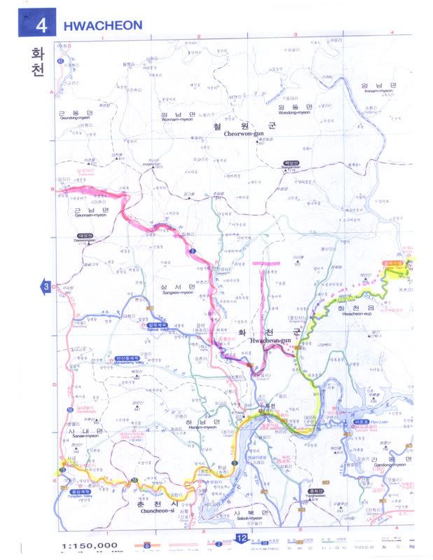
Late July here is like late July in many places in the US. Hot, humid, many days not for human consumption. Lot’s of rain…monsoons.
To say that we play it by ear on the weekends is putting it lightly. Many of you know what the heat and humidity can do at the worst of times. Now imagine that while getting stuck in 3 hours of 5 mile an hour traffic, and you get the picture.
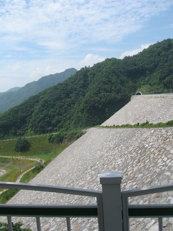
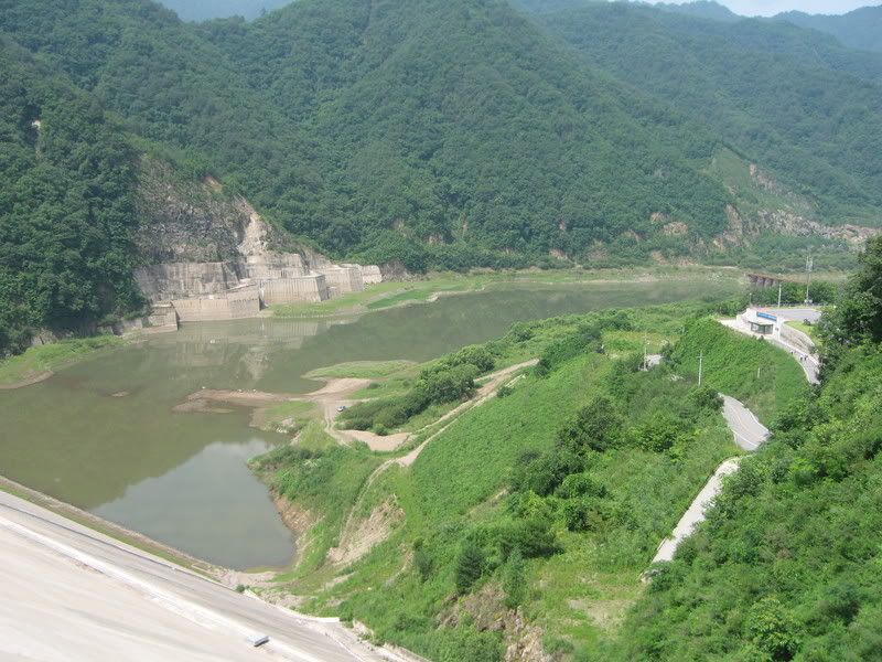
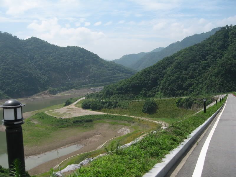
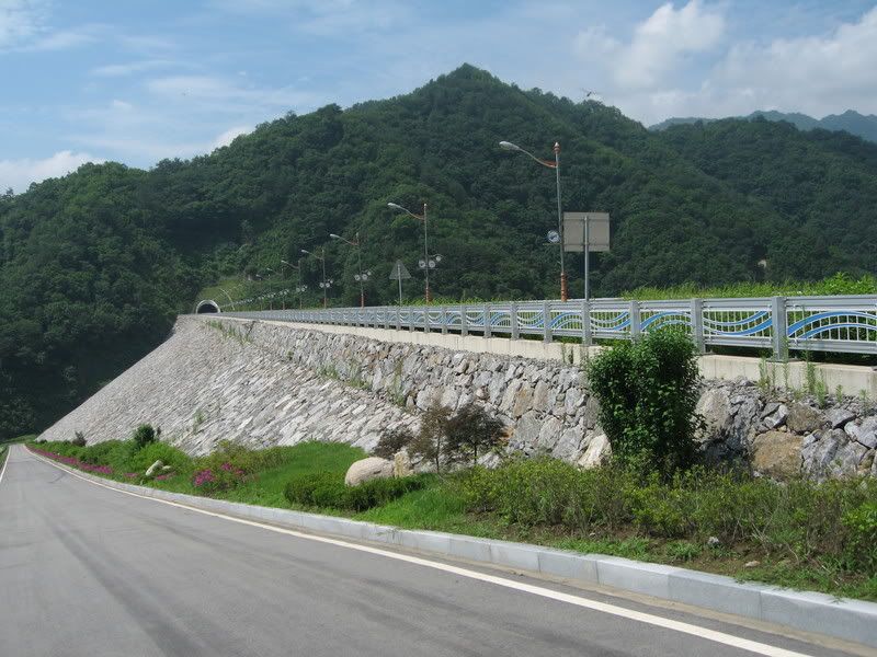
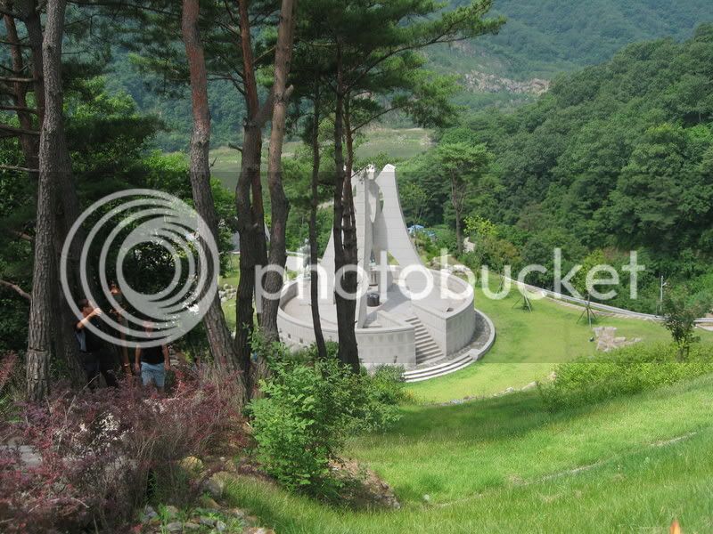
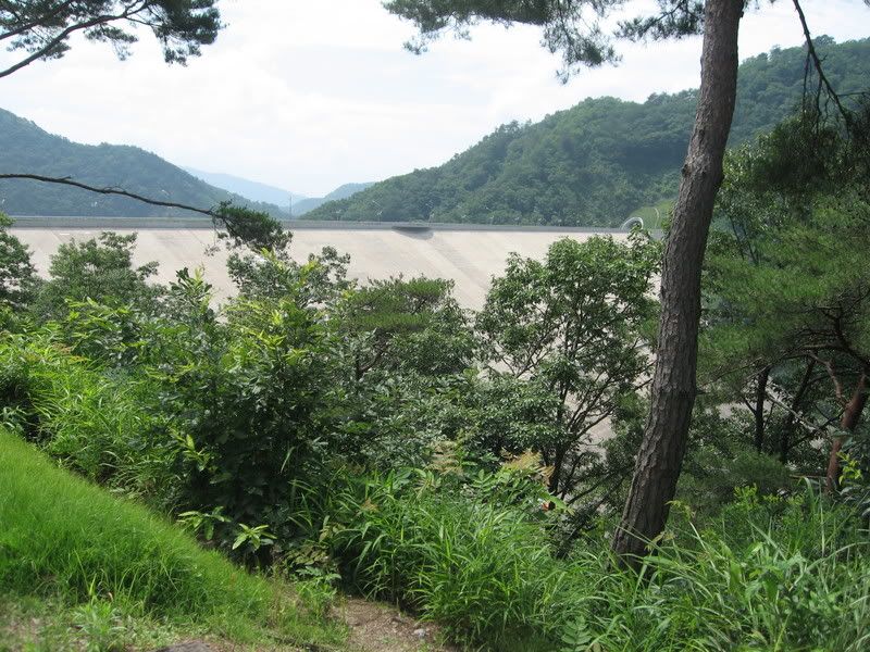
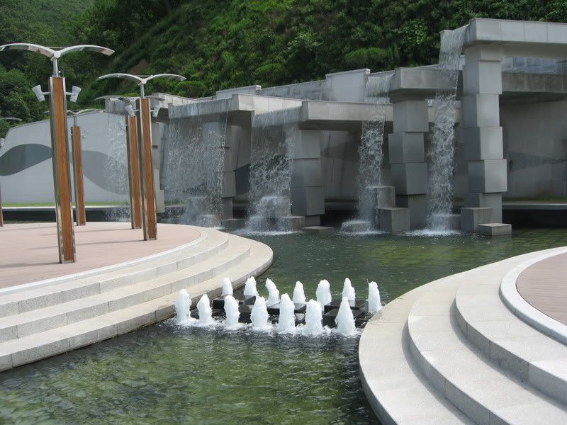
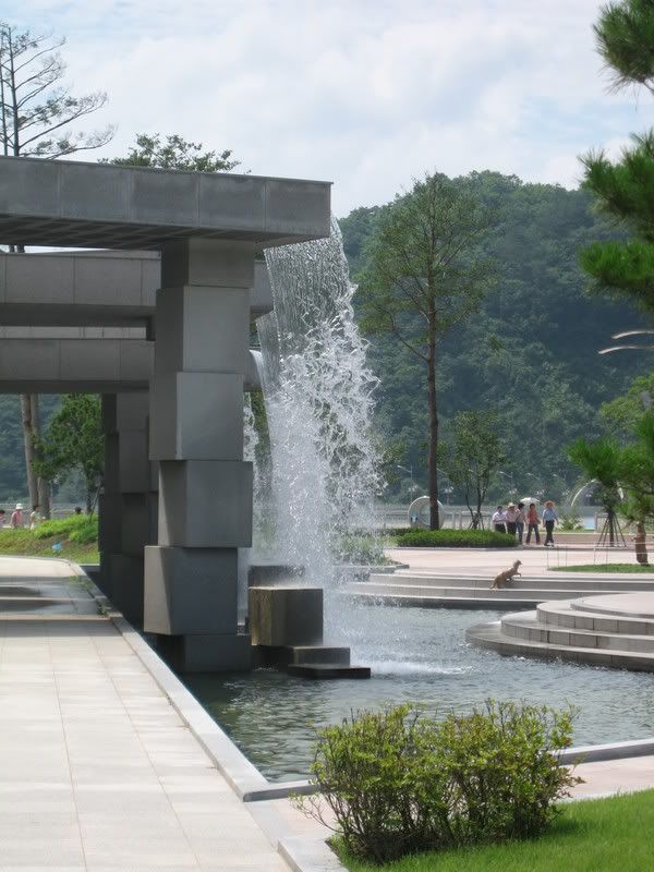
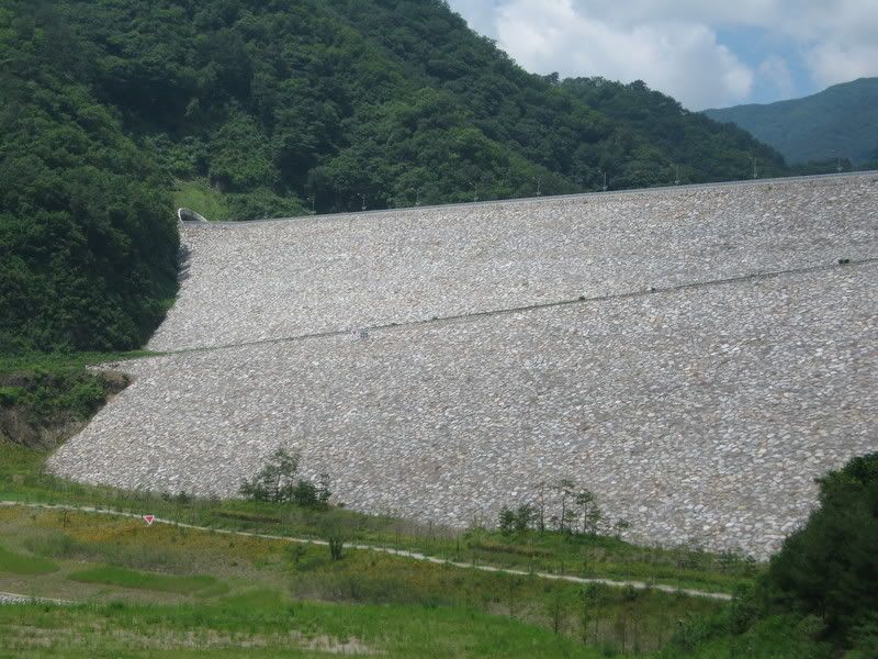
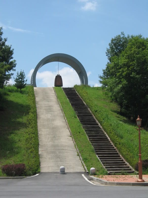
Saturday we made the call to head north. A little over 120 miles from home there is this monster dam called the peace dam. It was built in the late ‘70s and early ‘80’s to preclude a possible attack by the north. They were building an even larger dam, and the theory was at the time that they would blow the time, and trillions of gallons of water would rush in to Seoul, with water levels approaching 300 feet. Anyhow, if you are interested, here a few links….for the rest, the pictures follow.
https://en.wikipedia.org/wiki/Peace_Dam
https://www.worldtribune.com/worldtribune/W...orea_10_27.html
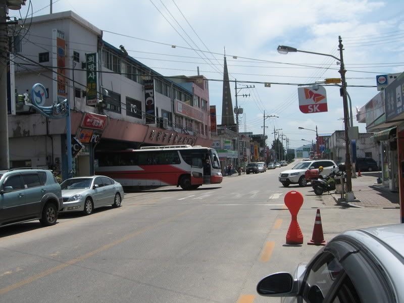
First stop was about 90 minutes in at Gapyeong. It’s about half way up the page on map 11. A small town that services the nearby Chungpyong lake recreation area.
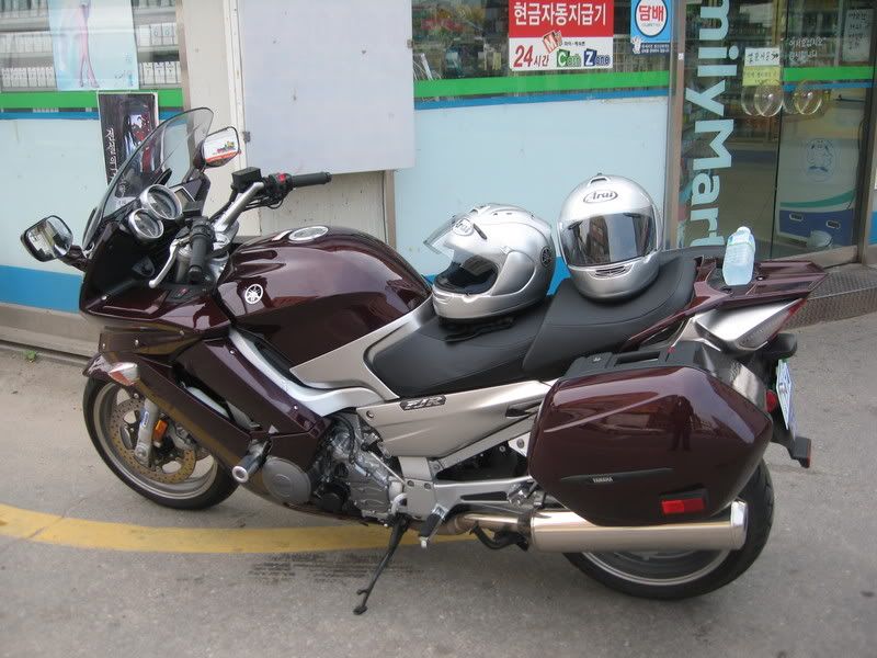
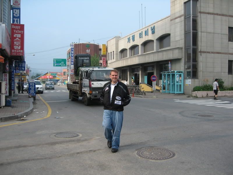
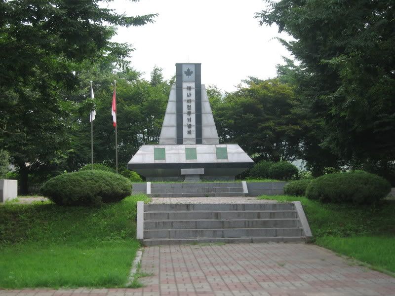
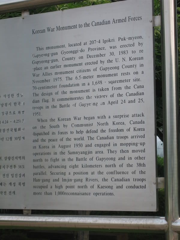
Just outside of town we ran across the Canadian Forces Korean War monument. We stopped briefly to pay our respects to our fallen brothers and sisters from north of our borders;
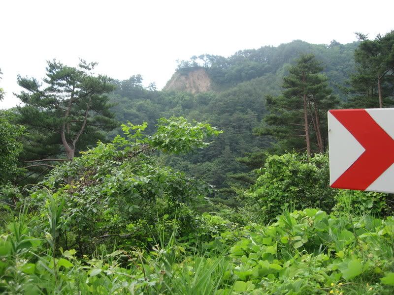
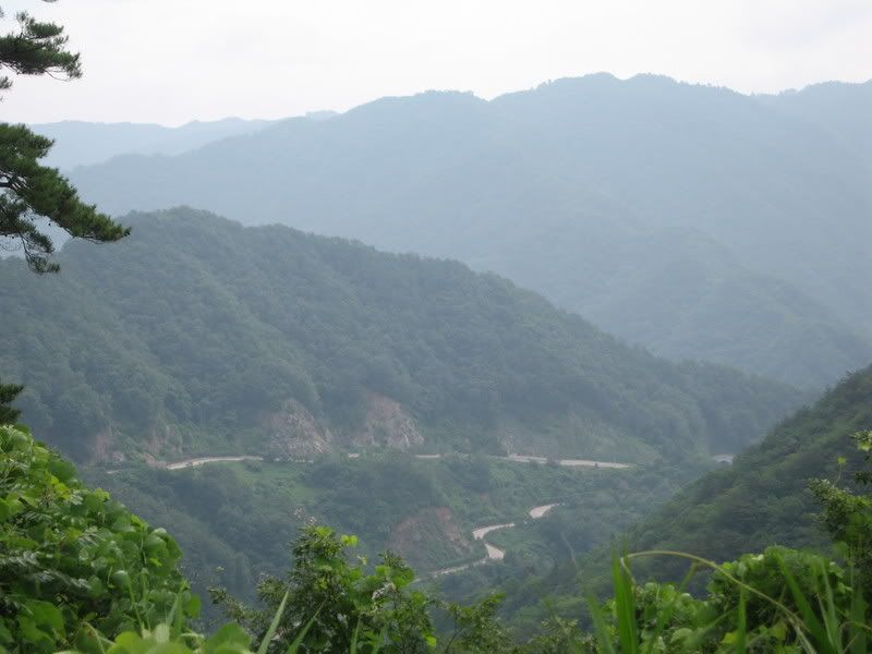
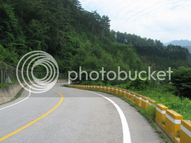
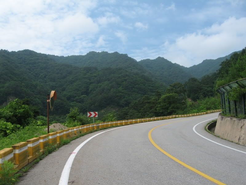
As we headed northeast, we started to quickly rise in to the hills. The roads became twisty…..having fun now!!
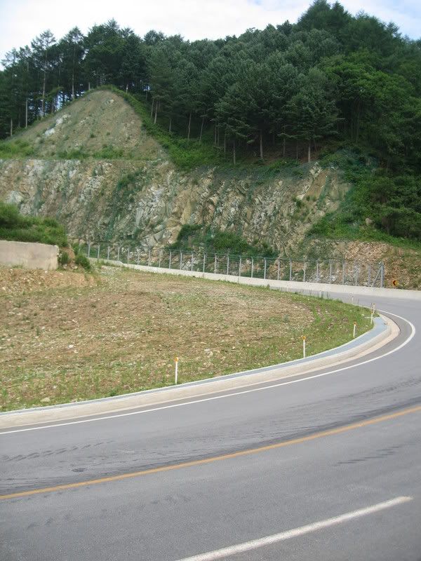
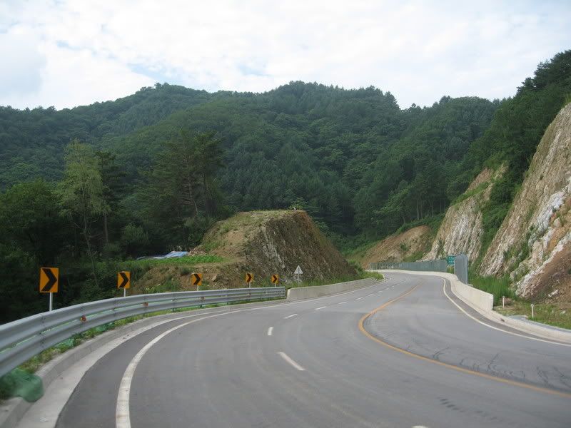
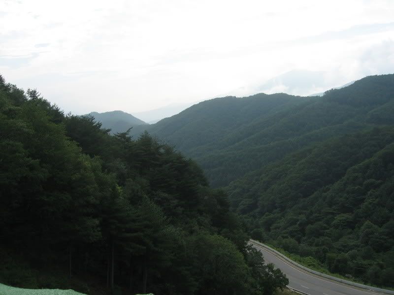
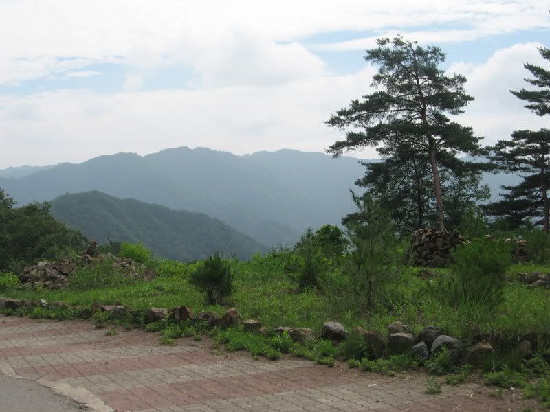
It was in this area, about 3500 feet, that the bike had some sputtering. Dreaded altitude sickness. But thanks to the board members, I was expecting it and ready for it. Found that higher revs had better results.
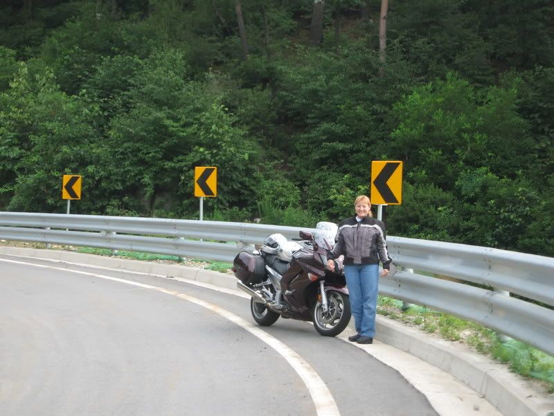
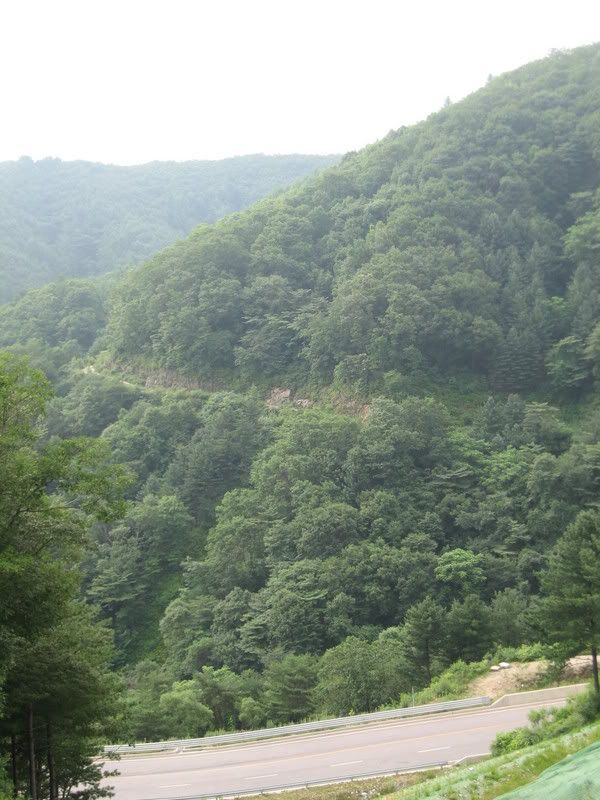
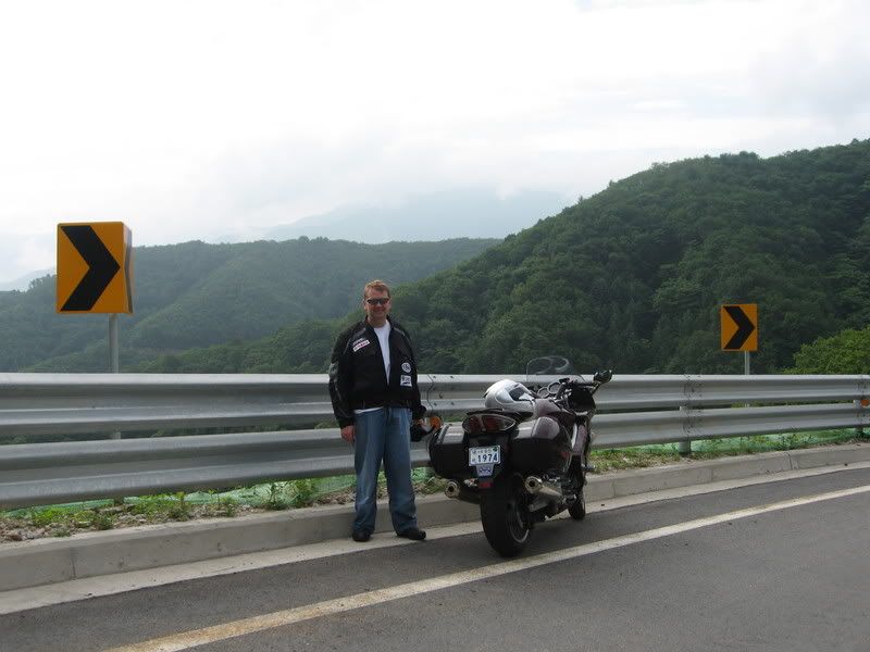
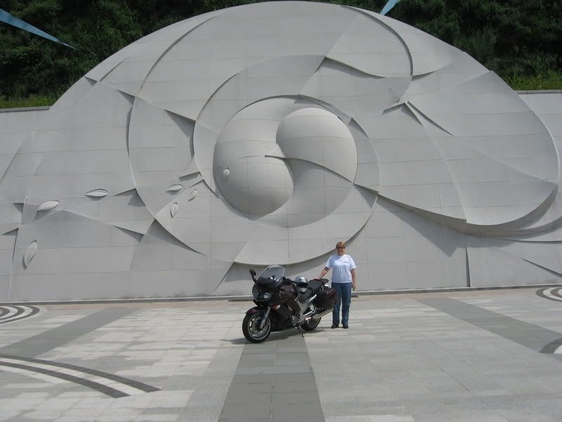
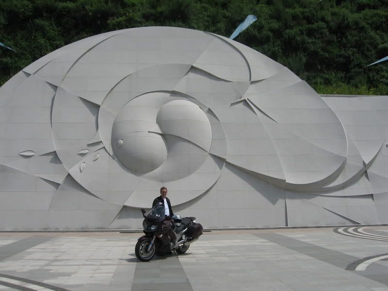
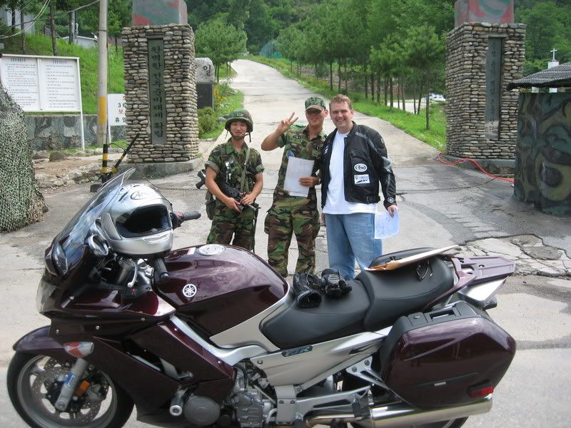
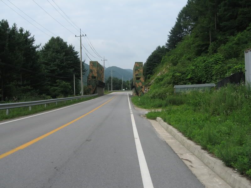
Now….where are we at here??
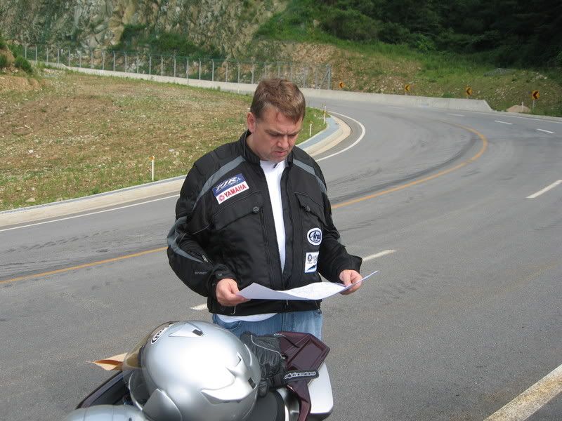
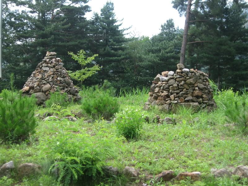
Have you seen one of these before?
A closer shot…
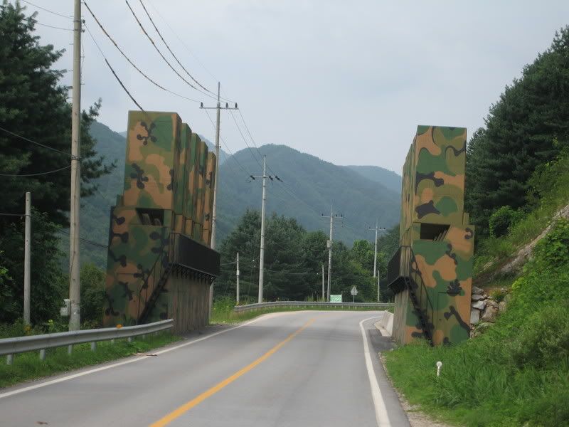
These are lined up across the entire countryside. If the NK’s were to attack, they would be blown to block access…
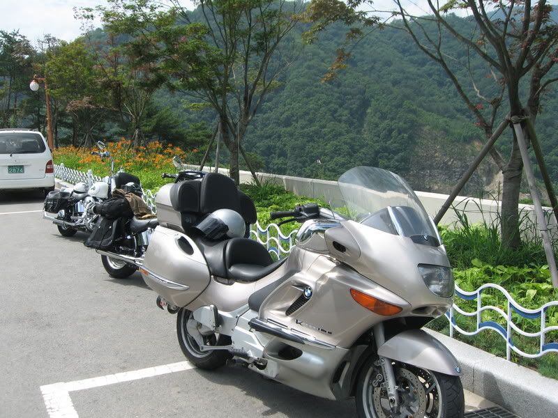
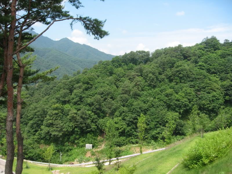
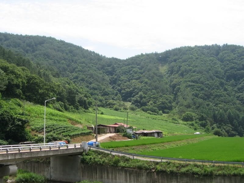
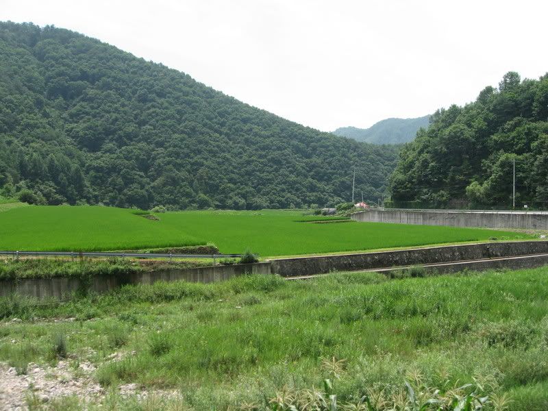
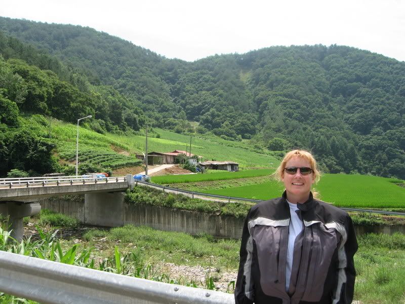
More shots on the way up to the dam area…
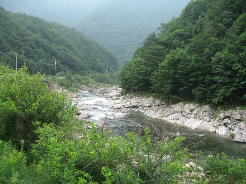
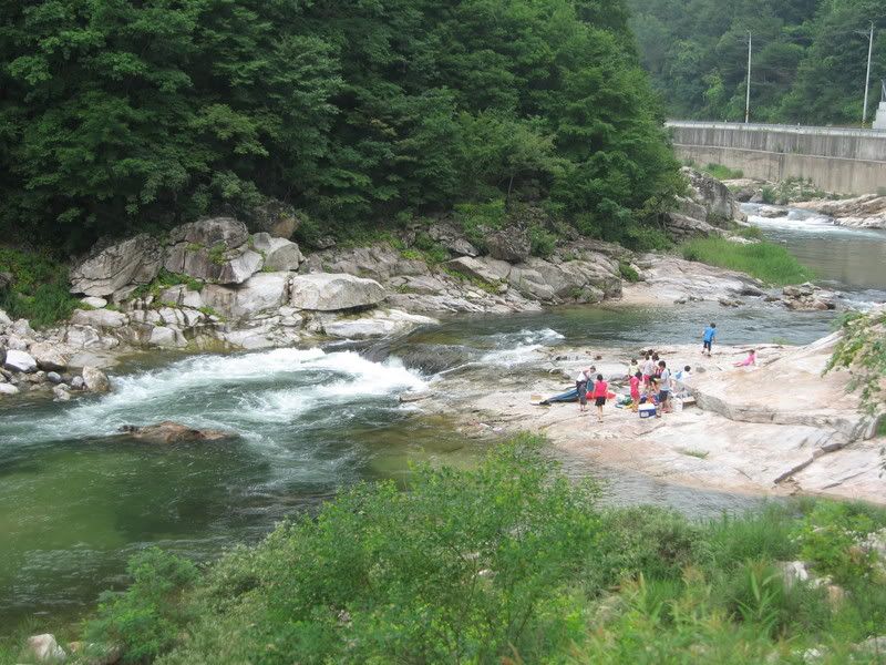
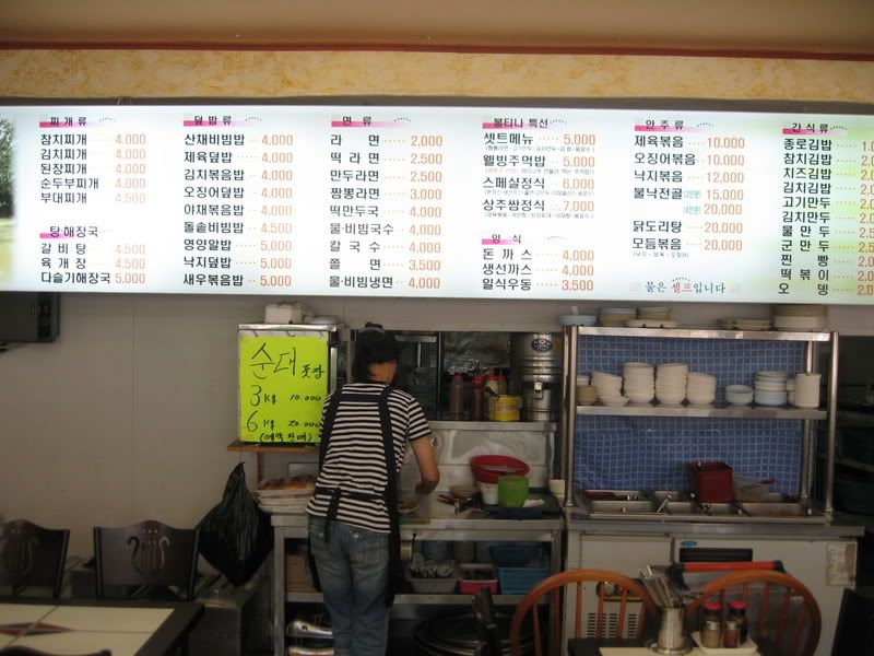
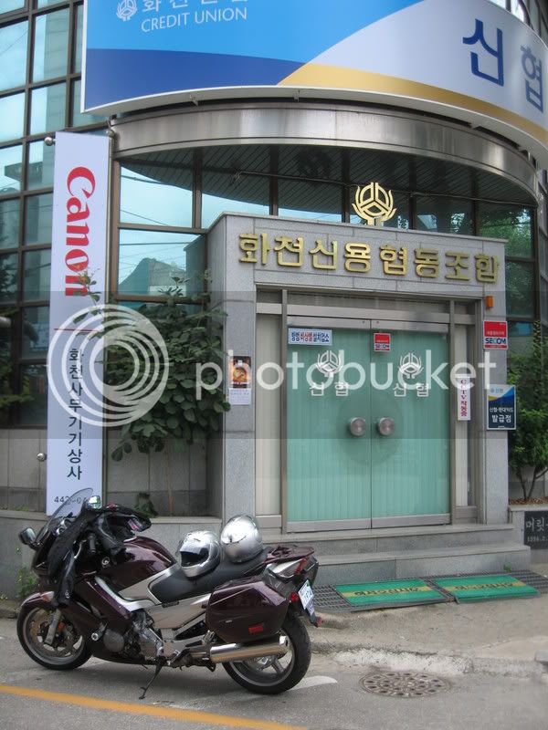
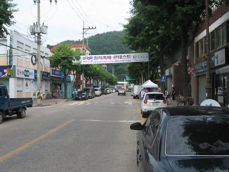
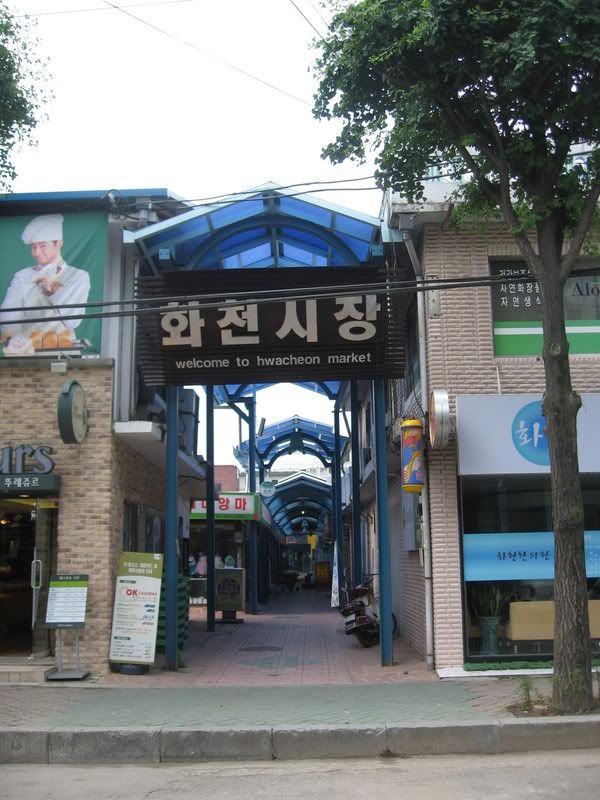
We reached Hwachoen in Gangwon-do. This city is at the base of the climb up to the dam and recreation area. We had a snack, and some organic grape juice….yum!
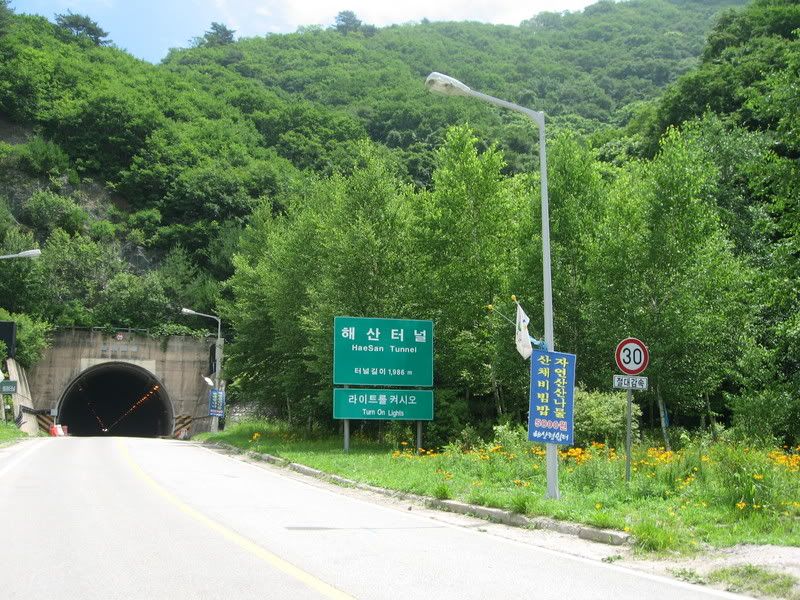
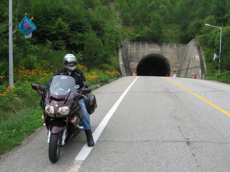
This tunnel was at the beginning of the real twisties. About 2KM long, and dark, especially when wearing polarized Oakley’s. Stopped and took them off before going back through the other way.
ODO 1185
Temperature at departure 72º F
Max Temp, cruising speed, 91º F
Time of return: 17:55
ODO 1439
Temperature at return 86º F
Total miles traveled : 254
Time en route: 11H 20m
Orientation Graphic

Detail Maps
Note: Yellow highlight is outbound and pink is return route.


Late July here is like late July in many places in the US. Hot, humid, many days not for human consumption. Lot’s of rain…monsoons.
To say that we play it by ear on the weekends is putting it lightly. Many of you know what the heat and humidity can do at the worst of times. Now imagine that while getting stuck in 3 hours of 5 mile an hour traffic, and you get the picture.
Saturday we made the call to head north. A little over 120 miles from home there is this monster dam called the peace dam. It was built in the late ‘70s and early ‘80’s to preclude a possible attack by the north. They were building an even larger dam, and the theory was at the time that they would blow the time, and trillions of gallons of water would rush in to Seoul, with water levels approaching 300 feet. Anyhow, if you are interested, here a few links….for the rest, the pictures follow.
https://en.wikipedia.org/wiki/Peace_Dam
https://www.worldtribune.com/worldtribune/W...orea_10_27.html
First stop was about 90 minutes in at Gapyeong. It’s about half way up the page on map 11. A small town that services the nearby Chungpyong lake recreation area.


Just outside of town we ran across the Canadian Forces Korean War monument. We stopped briefly to pay our respects to our fallen brothers and sisters from north of our borders;


As we headed northeast, we started to quickly rise in to the hills. The roads became twisty…..having fun now!!


It was in this area, about 3500 feet, that the bike had some sputtering. Dreaded altitude sickness. But thanks to the board members, I was expecting it and ready for it. Found that higher revs had better results.


Now….where are we at here??

Have you seen one of these before?

A closer shot…

These are lined up across the entire countryside. If the NK’s were to attack, they would be blown to block access…
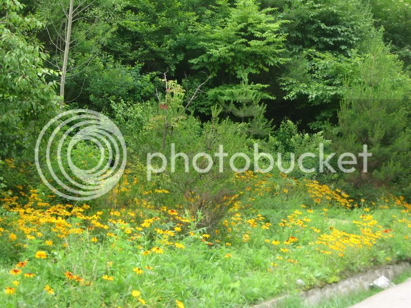
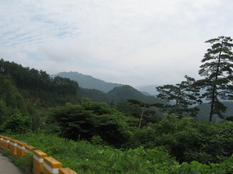
More shots on the way up to the dam area…


We reached Hwachoen in Gangwon-do. This city is at the base of the climb up to the dam and recreation area. We had a snack, and some organic grape juice….yum!


This tunnel was at the beginning of the real twisties. About 2KM long, and dark, especially when wearing polarized Oakley’s. Stopped and took them off before going back through the other way.


