Of course, while we were in Oregon, we had to do a day ride.
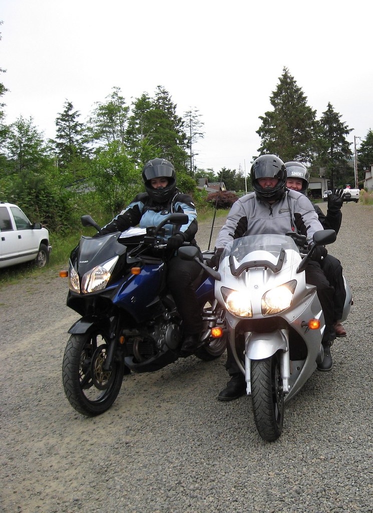
Mom climbed on the back of the FJR with Dad and we took a little tour around the north Oregon coast. We even went to Chinook, Washington for lunch! What jetsetters! :giggle
Here we are leaving Grandma's, eager for adventure.
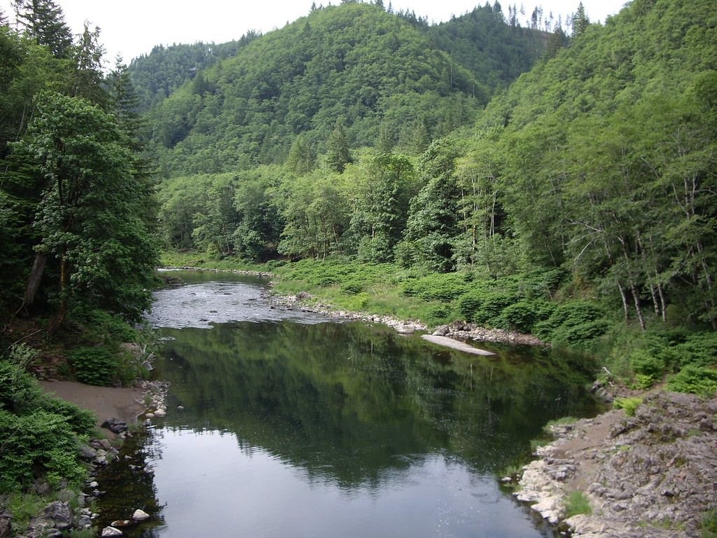
Mom snapped a picture of me snapping a picture of the Nehalem River.
It was this picture, in fact:
Riding in to the Nehalem Falls Campground, just to check it out. It looked amazing!
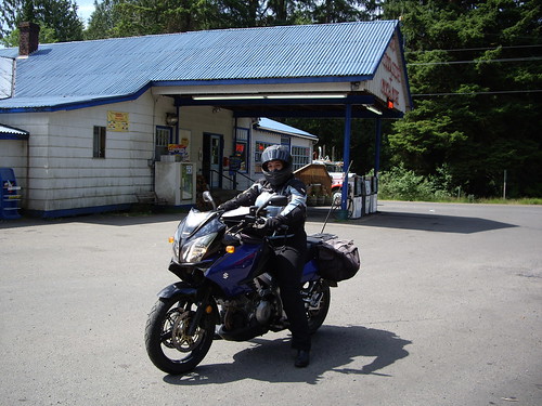
Me at a store somewhere out the cut on the way to Wheeler... Can you hear the banjos? I sure could, but they carried my brand of smokes so i guess i can't complain too much.
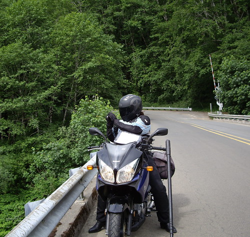
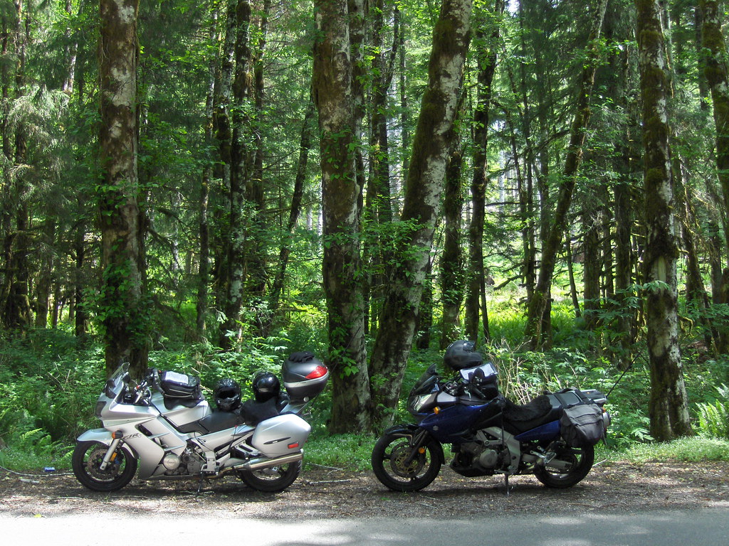
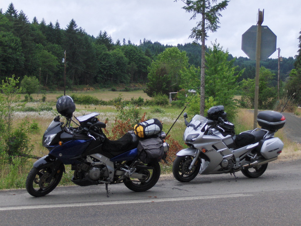
I was riding a bit ahead when Dad told me over the radio to find a pretty place for a break. I took a quick look around and pulled over right where i was. Not bad, eh?
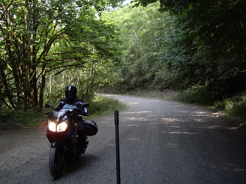
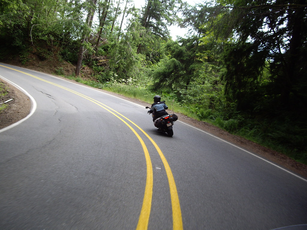
Here i am getting my "25 mph" curve on through the coastal forest.
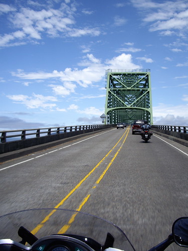
We went into Astoria, where my dad told me that if i had never even driven across the bridge into Washington, it was mandatory that we do it that day. And so we did:
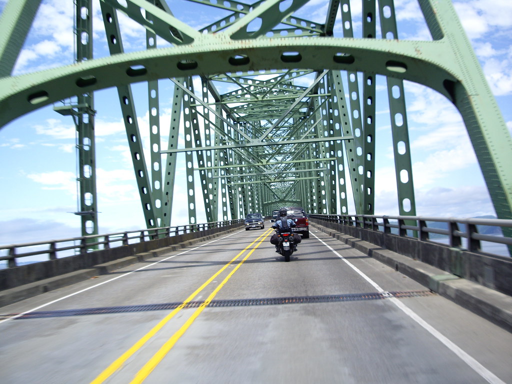
After lunch we cruised back to my Grandma's place, and spent some quality time before it was time to head home through the Oregon Outback.
The first day of our trip home dawned rainy. We made our way down the coast a bit and then started our eastward wandering on Hwy 223.
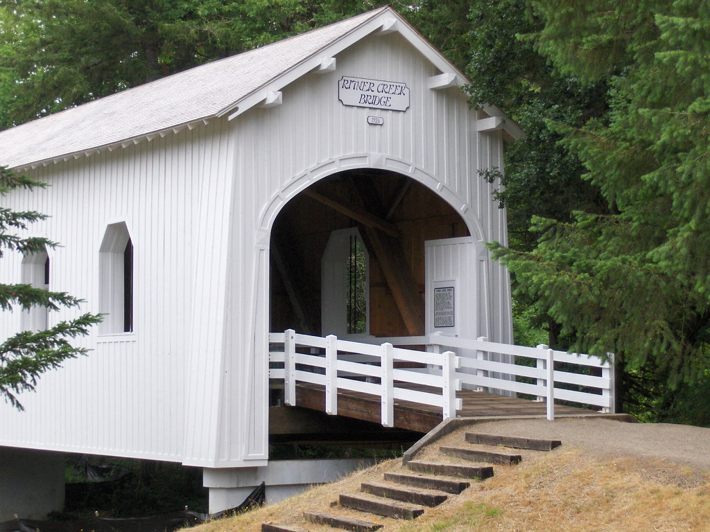
The covered bridge used to be on the road there, but now it's been moved to a wayside and houses a couple of picnic tables. Good times for rainy Oregon!
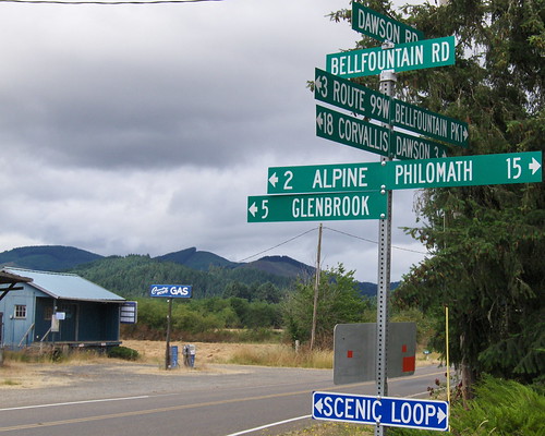
The fun and helpful sign on Bell Fountain Rd. Scenic Loop indeed!
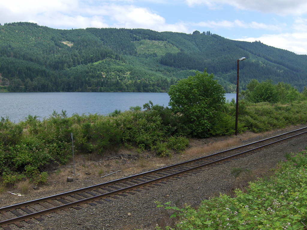
Hwy 58 provided some beautiful views. I've taken the Amtrak that goes along that track, it was even coming by just as we pulled over to take some pictures. i climbed down the access stairs to get a little closer to the lake.
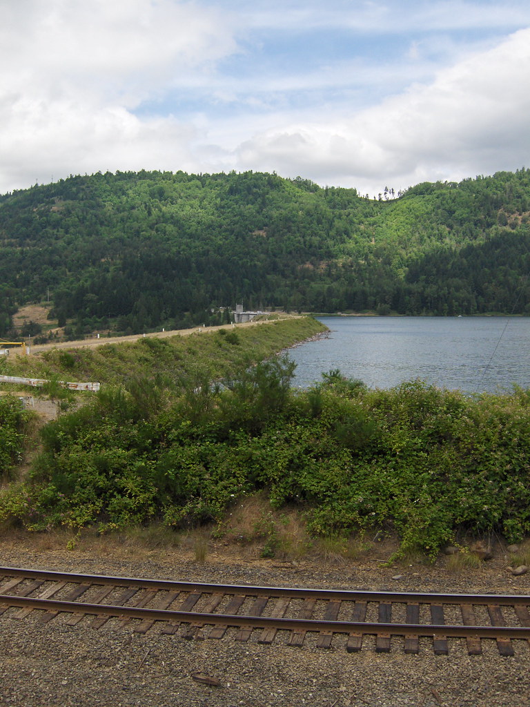
The dam at Lookout Point Lake:
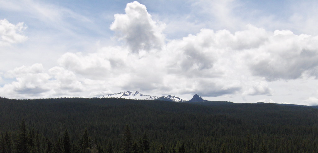
Snow in July!
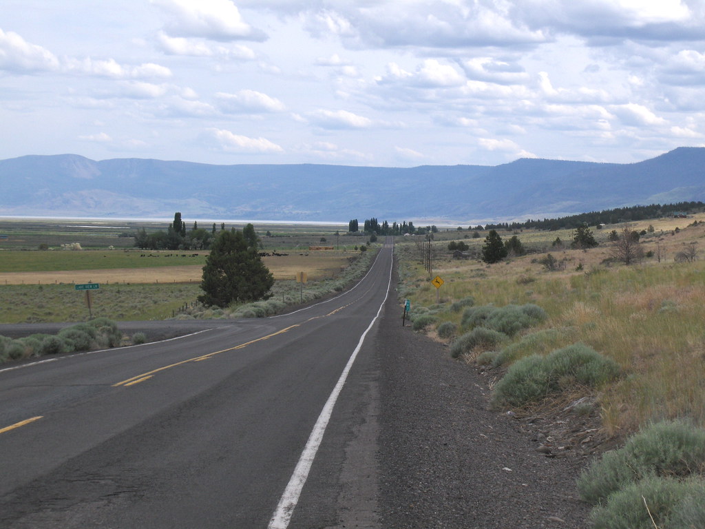
Soon enough, after a short jaunt on 97, we began the long process of flogging our steeds down Hwy 31 to Alturas. A 55 mph speed limit seems ridiculous when one can see THE CURVATURE OF THE EARTH. And if any LEOs ask, of course we observed it. Religiously. :nod
We took a detour to Fort Rock. I really wanted to see the giant, volcanic tuff ring. I was NOT disappointed.
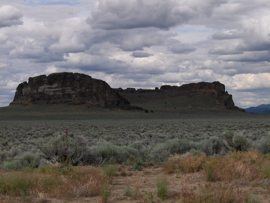
Between the sky, the evidence of a massive, prehistoric, geological event rising out of the otherwise flat desert, and the fact that the town of Fort Rock is quite reminiscent of the town in the movie Tremors... This place gave me quite an eerie feeling!
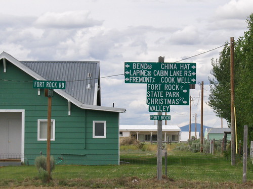
Seriously, every place should have signs like this.
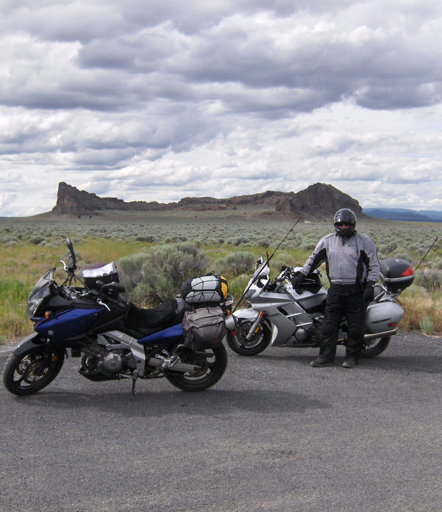
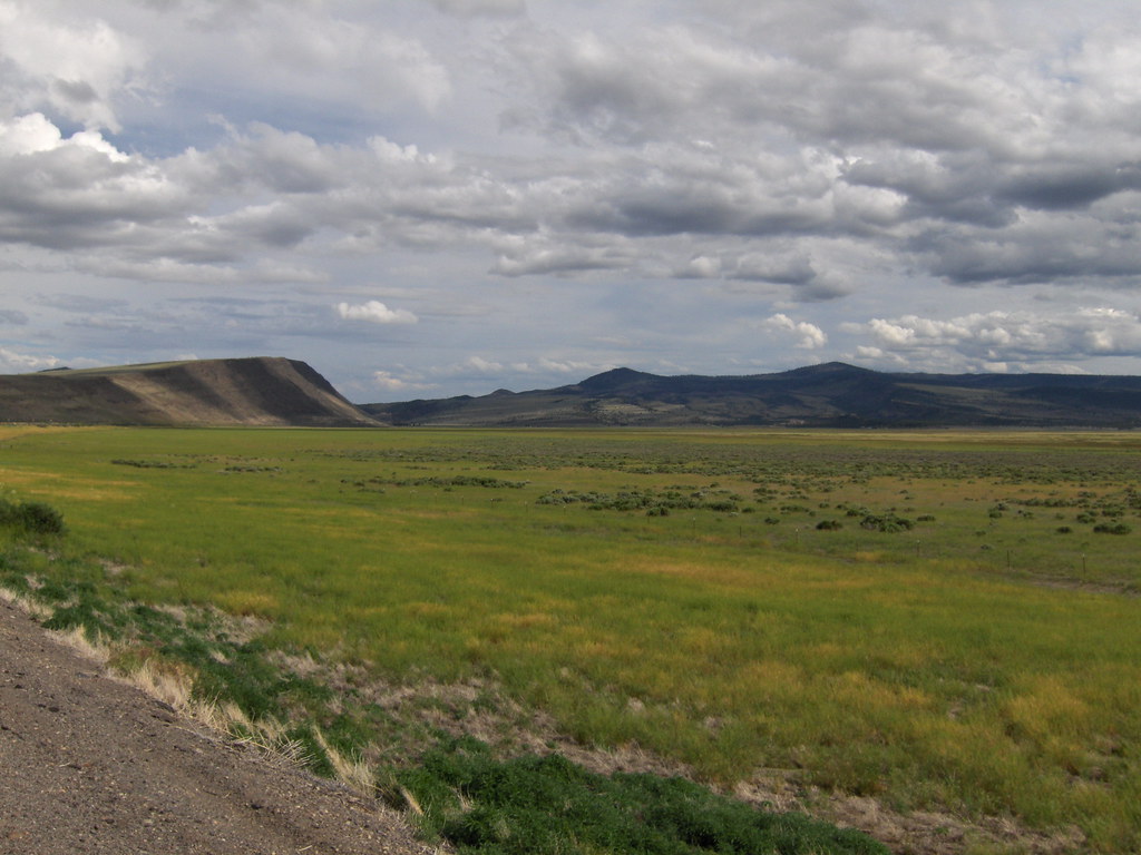
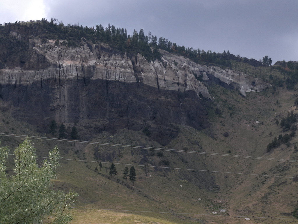
Hwy 31 astounded us with beautiful high desert for the entire ride.
A panorama of one of the buttes:

Haystacks like the ones Monet painted:
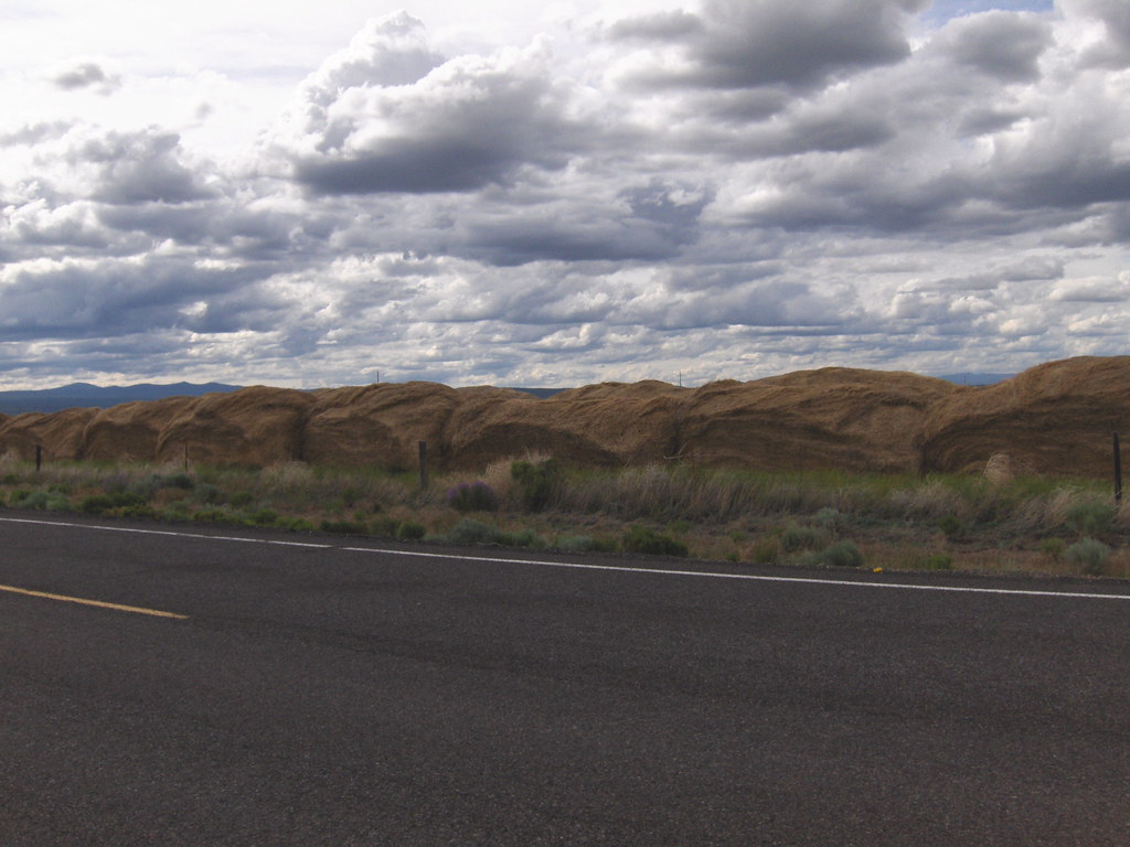
Assorted desert beauty:


(The sky certainly did this photog a favor!)
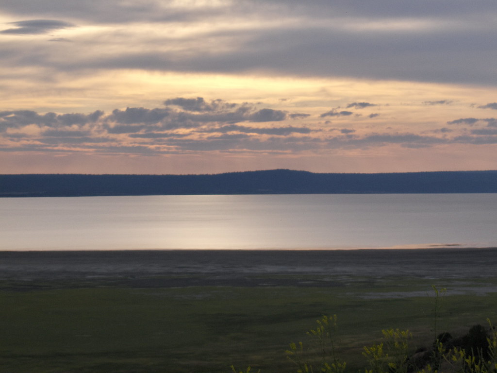
As Hwy 31 turned in to Hwy 395, we got closer and closer to the California border. A view of Goose Lake:
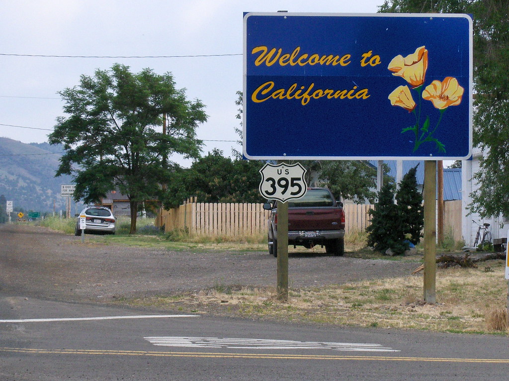
Home sweet home (almost)! Thank you Jesus, we can split traffic again! :woop
Mom climbed on the back of the FJR with Dad and we took a little tour around the north Oregon coast. We even went to Chinook, Washington for lunch! What jetsetters! :giggle
Here we are leaving Grandma's, eager for adventure.

Mom snapped a picture of me snapping a picture of the Nehalem River.

It was this picture, in fact:

Riding in to the Nehalem Falls Campground, just to check it out. It looked amazing!

Me at a store somewhere out the cut on the way to Wheeler... Can you hear the banjos? I sure could, but they carried my brand of smokes so i guess i can't complain too much.

I was riding a bit ahead when Dad told me over the radio to find a pretty place for a break. I took a quick look around and pulled over right where i was. Not bad, eh?

Here i am getting my "25 mph" curve on through the coastal forest.

We went into Astoria, where my dad told me that if i had never even driven across the bridge into Washington, it was mandatory that we do it that day. And so we did:


After lunch we cruised back to my Grandma's place, and spent some quality time before it was time to head home through the Oregon Outback.
The first day of our trip home dawned rainy. We made our way down the coast a bit and then started our eastward wandering on Hwy 223.

The covered bridge used to be on the road there, but now it's been moved to a wayside and houses a couple of picnic tables. Good times for rainy Oregon!

The fun and helpful sign on Bell Fountain Rd. Scenic Loop indeed!

Hwy 58 provided some beautiful views. I've taken the Amtrak that goes along that track, it was even coming by just as we pulled over to take some pictures. i climbed down the access stairs to get a little closer to the lake.

The dam at Lookout Point Lake:

Snow in July!

Soon enough, after a short jaunt on 97, we began the long process of flogging our steeds down Hwy 31 to Alturas. A 55 mph speed limit seems ridiculous when one can see THE CURVATURE OF THE EARTH. And if any LEOs ask, of course we observed it. Religiously. :nod

We took a detour to Fort Rock. I really wanted to see the giant, volcanic tuff ring. I was NOT disappointed.

Between the sky, the evidence of a massive, prehistoric, geological event rising out of the otherwise flat desert, and the fact that the town of Fort Rock is quite reminiscent of the town in the movie Tremors... This place gave me quite an eerie feeling!

Seriously, every place should have signs like this.

Hwy 31 astounded us with beautiful high desert for the entire ride.
A panorama of one of the buttes:

Haystacks like the ones Monet painted:

Assorted desert beauty:


(The sky certainly did this photog a favor!)


As Hwy 31 turned in to Hwy 395, we got closer and closer to the California border. A view of Goose Lake:

Home sweet home (almost)! Thank you Jesus, we can split traffic again! :woop


