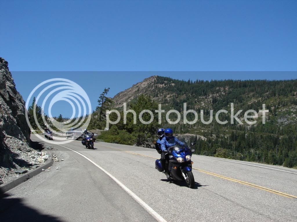
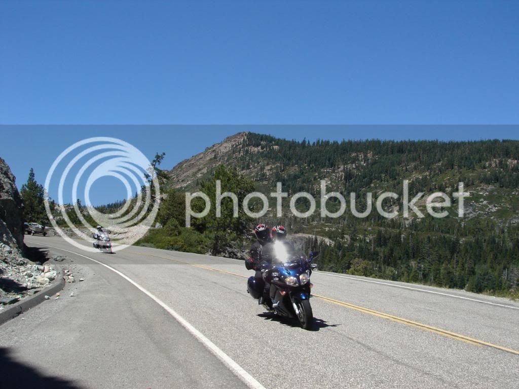
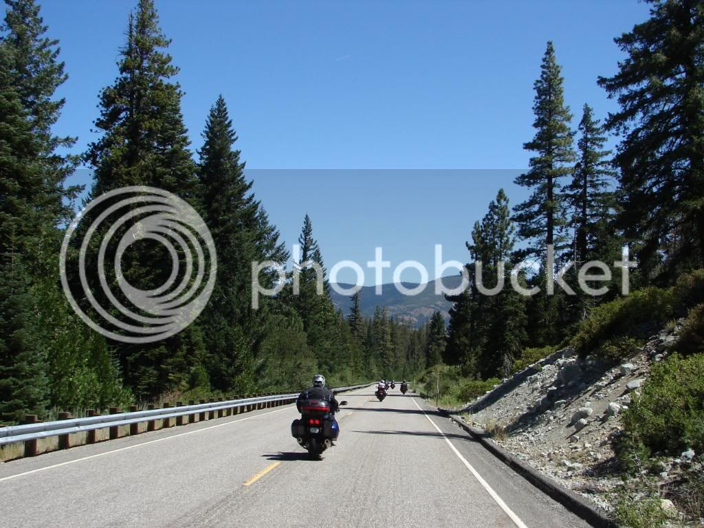
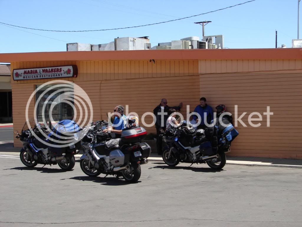
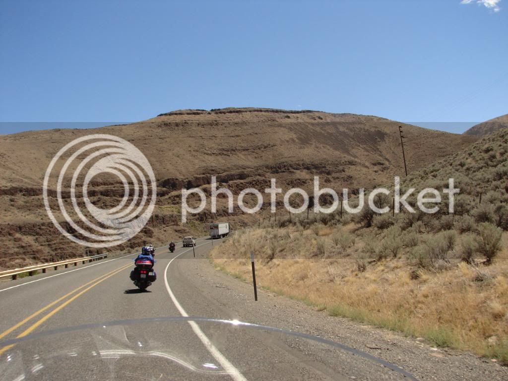
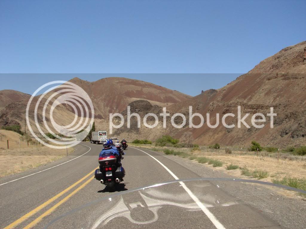
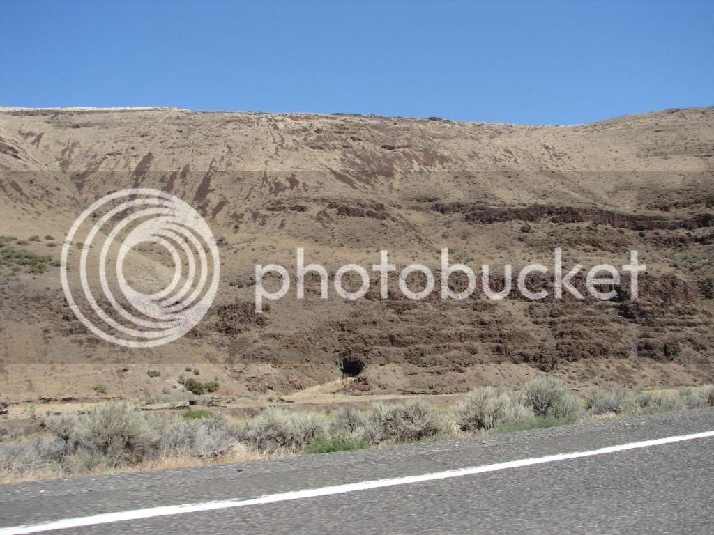
6 fjrs, 8 people, Sierra, Sawtooth, Yellowstone, Tetons to WFO in Park City

Yamaha FJR Motorcycle Forum

Help Support Yamaha FJR Motorcycle Forum:

This site may earn a commission from merchant affiliate links, including eBay, Amazon, and others.

OrangevaleFJR

R.I.P. Our FJR Riding Friend
Joined
Jul 5, 2005
Messages
3,856
Reaction score
2
Location
Orangevale, CA
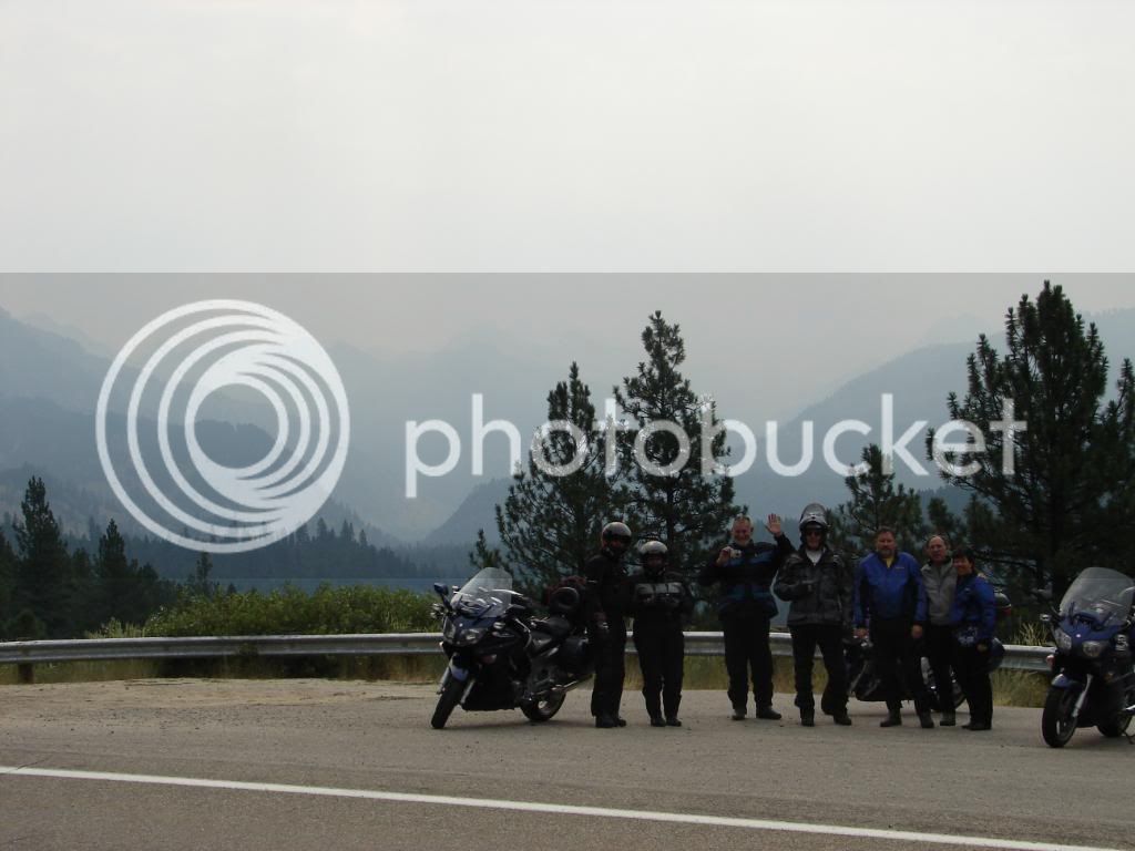
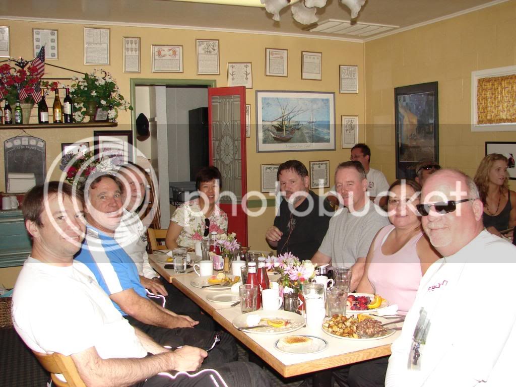
I had the luck to ride with seven wonderful people on a route of my choosing to the 2007 Western FJR Owner gathering (WFO-6). The experience was really too wonderful for words and although a picture may indeed be worth a thousand words, no ride report will adequately capture the experience of being on this ride with these people. The group consisted of, from right to left:

Andrew (OrangevaleFJR), Joe (MCML), Mike (MadMike2), Cindy (Bluestreek’s wife), Steve (Bluestreek), Dave (HIGHLANDER), Dianne (HIGHLANDER’s wife) and Tim (twowheelnut).

Our homes in the same order as above:

Orangevale, Tarzana, Elk Grove, Marysville, Santa Cruz, Carpenteria (all California).

We enjoyed a good breakfast at Katrina’s in Auburn, California as our meeting event. If you haven’t had breakfast at Katrina’s, it is recommended.
DSC00243.jpg


The anticipation of the ride was preceded by Tim visiting my house and making use of the guest room, which doubles as my office. This visit served to make me even more excited about the upcoming ride that would take us through some areas that I have either never been, or haven’t been through since I was 4 years old. It was a ride with some of my favorite FJR riders and people that are fast becoming a tight knit group bound by friendship. I was STOKED!!! The premise of the ride was to make the group small enough to be able to make good time and reduce logistic issues, and to take short rides during the day so that people could alter plans and participate in additional activities if they so chose.

Therefore, we did an average of 304 miles a day for five days. The stopping points were: 1) Alturas, Cc 2) Caldwell, Id 3) Blackfoot, Id 4) Jackson, Id with the starting point Auburn California and the destination, of course, Park City, Utah. Here is a map of the route (some slight changes were made).
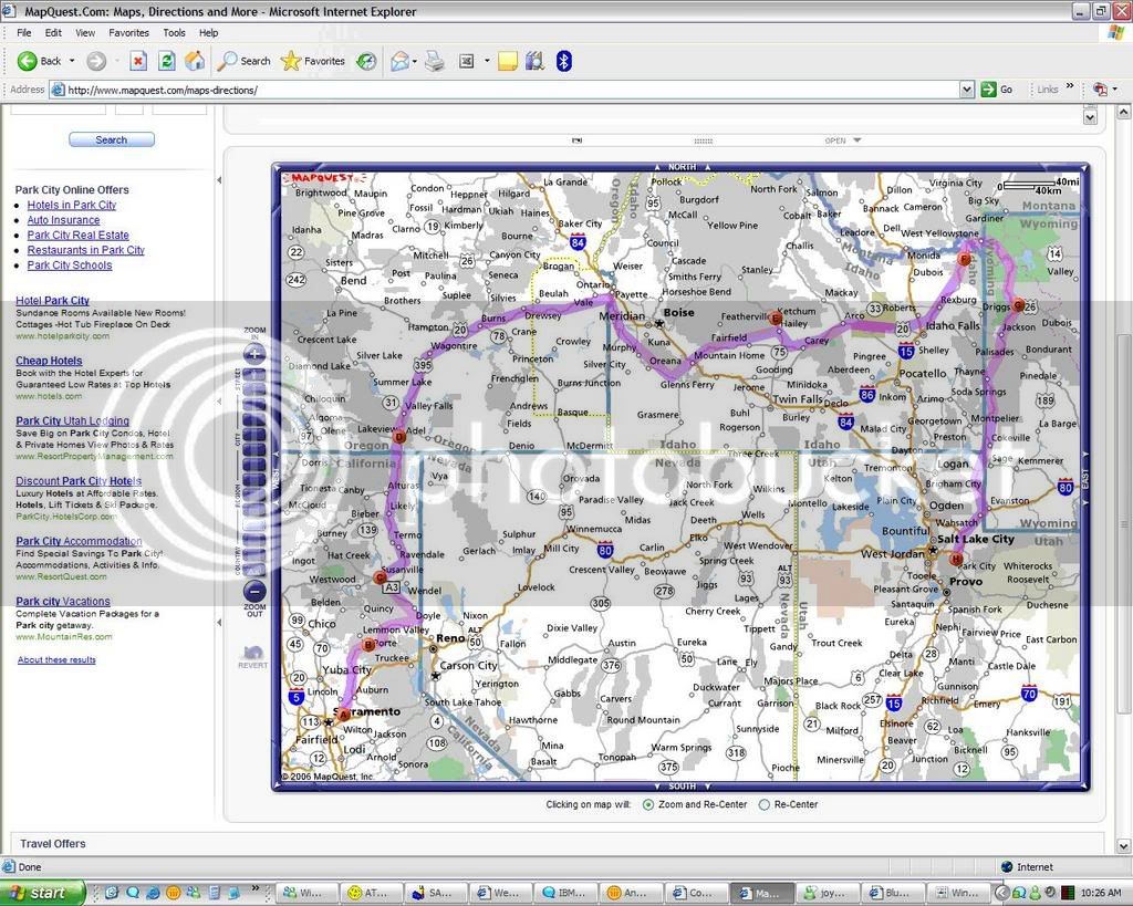
WFO-6Map.jpg


The one down side of this ride is that Sherri, my wife, who was slated to ride pillion did not make the ride. She had a chance to attend a class with a glass master and wanted to take advantage of that to the maximum, so she arrived back to Sacramento too late to make the ride. She did fly out and ride back with me though. Somehow, the 667 miles back in 100+ degree heat wasn’t all that fun except for a few neat things that happened and will be shared in some other post. This post is about the ride there.

Sherri blowing glass at Chaos Glass in Sutter Creek, California:
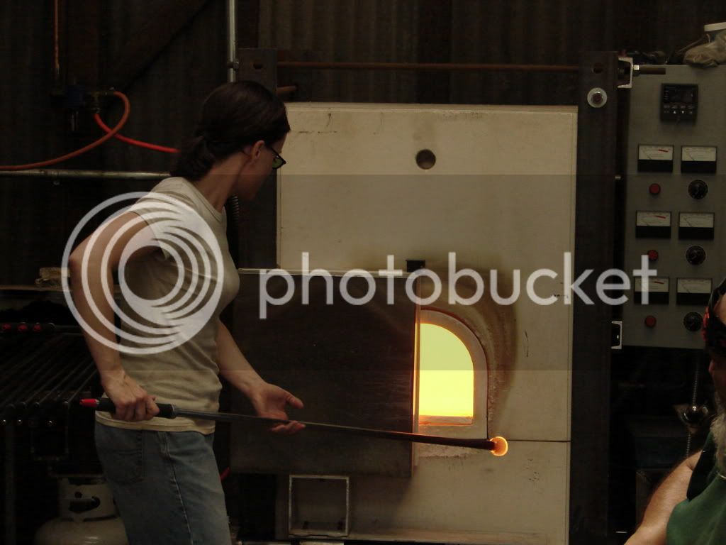
DSC09148.jpg


Nonetheless, I knew I was going to be among a group of really great people, and I was STOKED!!! I’m sure I’ll say that at least one more time before the end of this ride report.

Auburn California to Alturas California:

When I arrived at Katrina’s with Tim, we found Dave and Dianne waiting for us. They were the first there and Tim and I were second. The sun was low in the sky and I was smiling, which seemed to be a common thing on this trip.
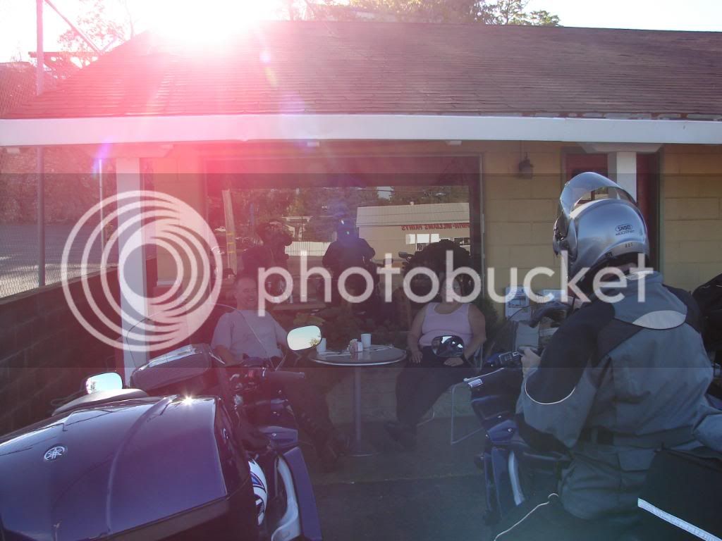
DSC00228.jpg


Mike and Joe showed up next and were greeted by all. At this point, I was STOKED!!! I couldn’t wait for Steve and Cindy to arrive. Either could Mike, he coaxed them in with unfair temptation.
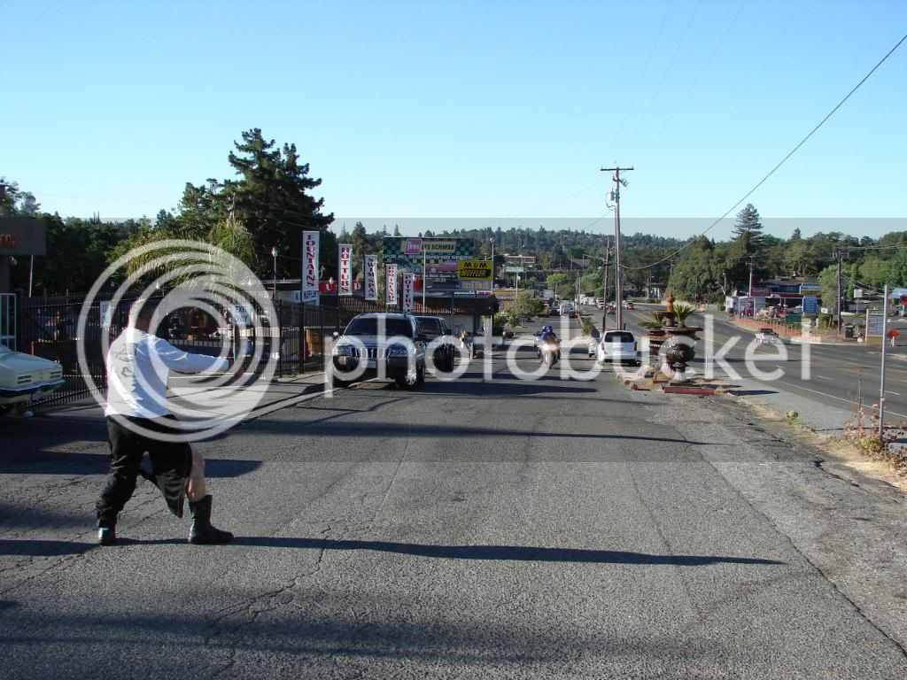
DSC00239.jpg


Nice leg Mike. Cindy was poking Steve in the ribs to hurry him on so that she wouldn’t miss a view of that taught calf muscle. She said, I never knew your legs were so sexy Mike!
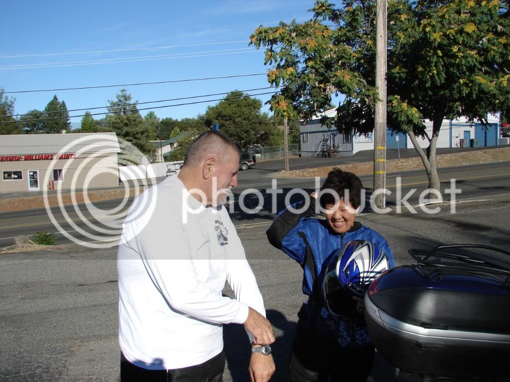
DSC00242.jpg


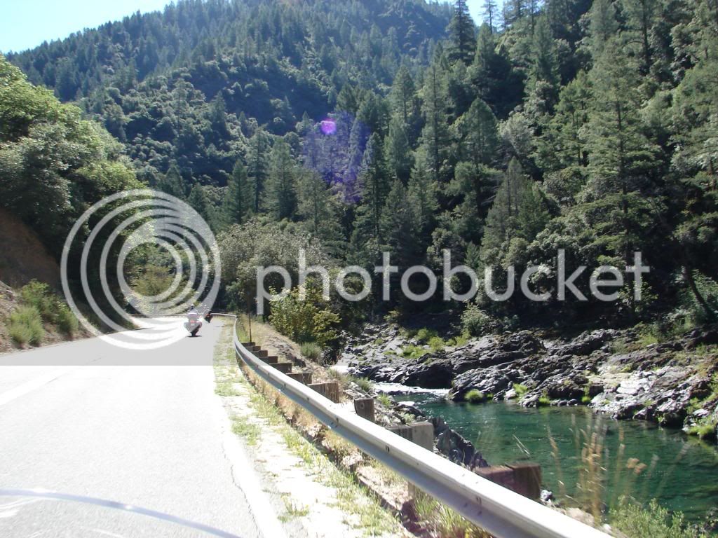
Six bikes and eight people lit out of Auburn on their way to Alturas via highways 49, Gold Hill Road, 89, 147, 36, 139 and then 299 into Alturas. Mike, Steve and I rode with Kenwood radios so we had bike-to-bike communication. Steve commented while plowing down one of my repeated S-turn sections of 49, “Oh, this is why I like this road so much!” I was loving it and loving to share this road with those riders from the South. This early fun proved to be just one of many great sections of the ride.

Here is a shot of the group going through North San Juan on Highway 49.
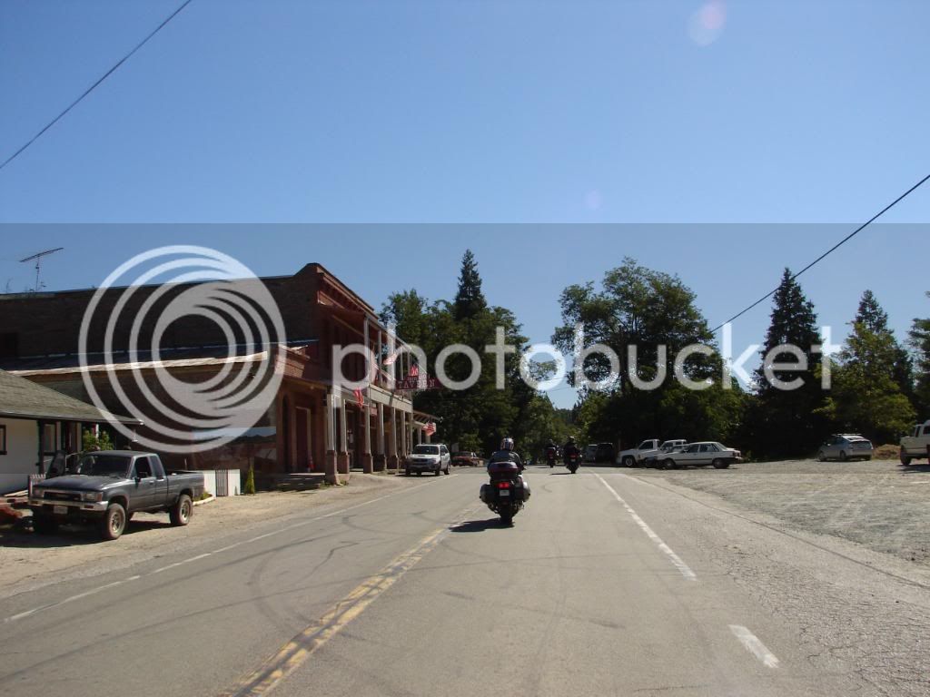
DSC00251.jpg


On 49 between North San Juan and Downieville
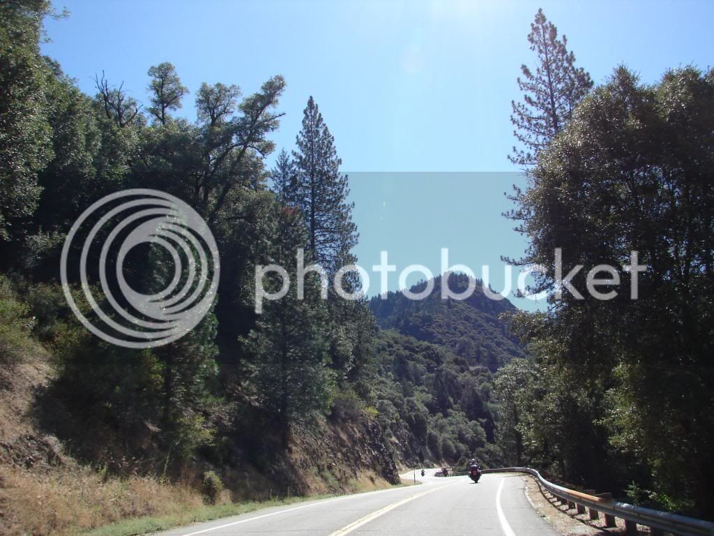
DSC00257.jpg


The Yuba River runs clear

DSC00262.jpg


The parade of FJRs rolls through Sierra City
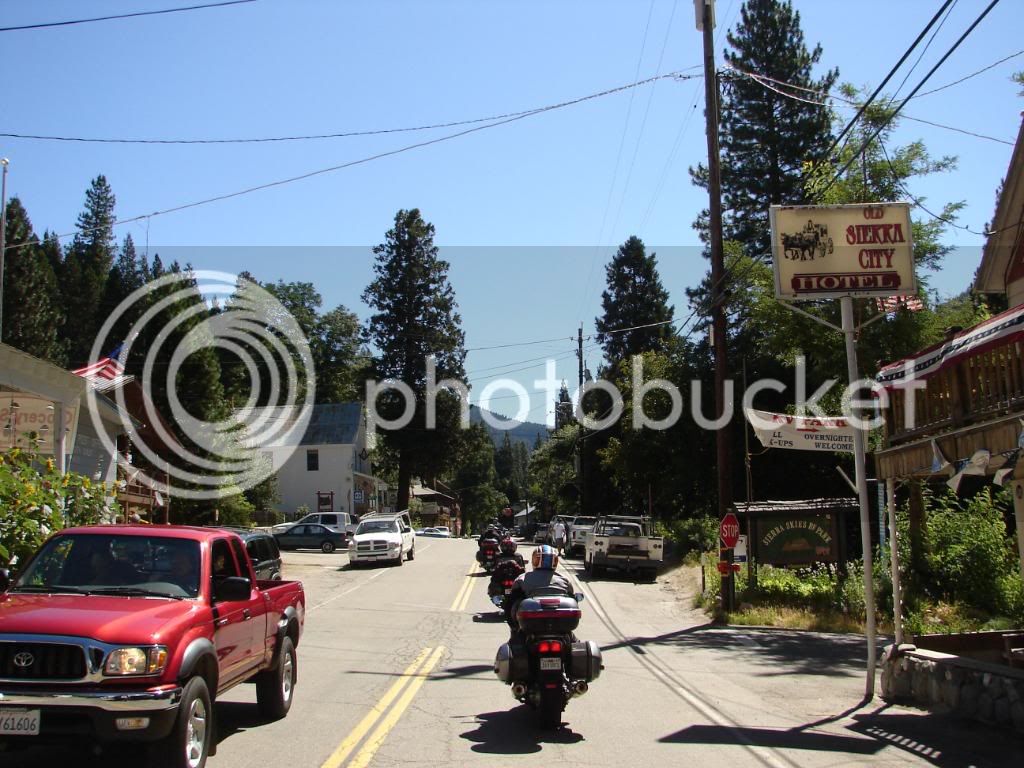
DSC00269.jpg


We took a break at the intersection of 49 and Gold Hill Road. This was the first stop and we relaxed and talked. The first part of a ride always seems to relax the group and we were all very comfortable with each other early as we have ridden together many times before.

DSC00272.jpg


I went ahead of the group to get some shots of riders from a few places on Gold Hill Road.

Tim

DSC00274.jpg


Mike

DSC00276.jpg


Steve & Cindy, Tim and then Dave & Dianne

DSC00278.jpg


Dave & Dianne followed by Joe

DSC00279.jpg


I like riding sweep sometimes because the view can be cool. This ride had many of those moments.

DSC00283.jpg


It was starting to warm up as we stopped here for gas. We were entering an area of desert and the alpine green was behind us for some time.

DSC00300.jpg


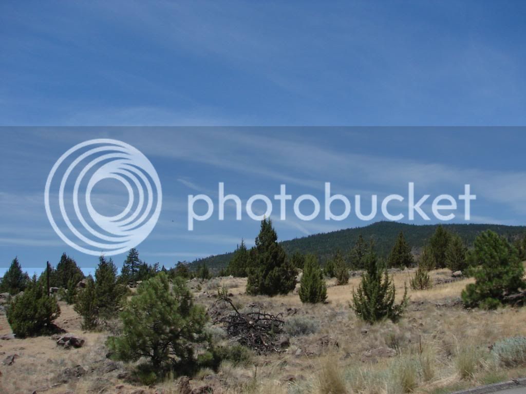
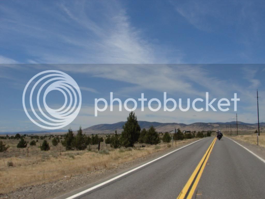
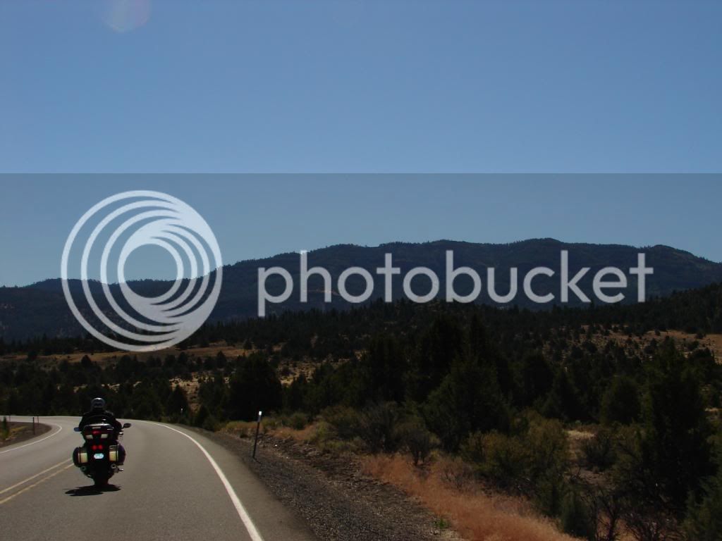
The juniper trees up here reminded me more of pinion than juniper. I had never been in this area before and I had no idea that this type of terrain was up here. I had always thought this area would be green and lush, especially as we neared Oregon. I thought of Oregon as rainforest. I was wrong! As we got further and further North in California, I realized my impressions would be turned.

DSC00302.jpg


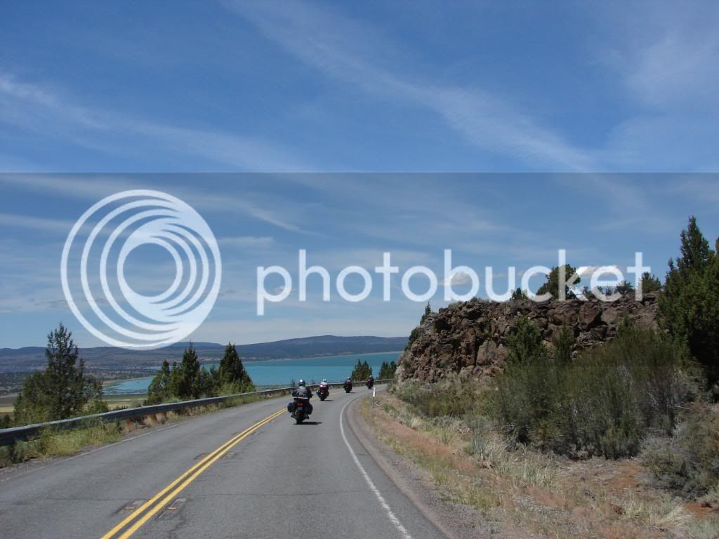
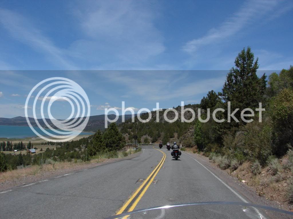
As we entered the land of desert, the lava flows became more obvious, the lakes more attractive and the group rode by some impressive scenery. The clouds became a major part of the landscape, adding some kind of drama that seems to move you.

DSC00325.jpg


Some pictures make me think, “Oh yeah! I remember that time and place!” It’s a good thing too. I can visit these pictures from time to time and relive the fun. This is Lake Almanor from Highway 147.

DSC00328.jpg


Last edited by a moderator:
Tim and I both stopped a few times for pictures. Once I slowed and waited for Tim to catch up. He seemed too far behind and I was a bit worried. Not to worry, he caught up and then he and I caught up. Some places just call out for a speed run.

DSC00343.jpg


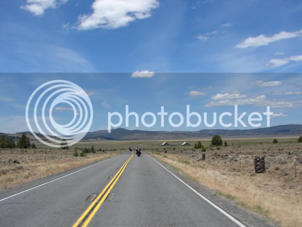
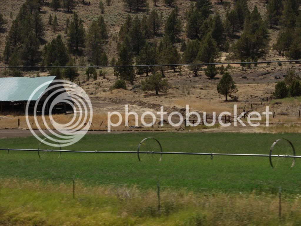
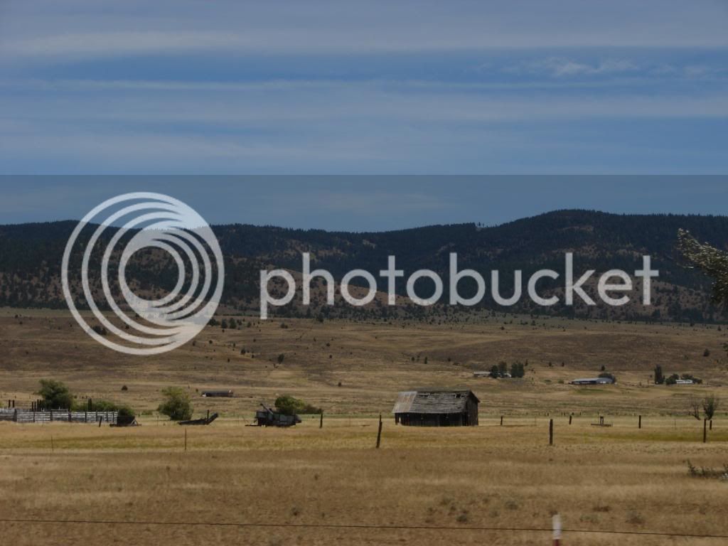
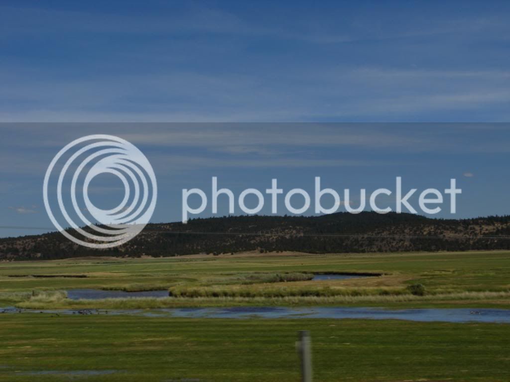
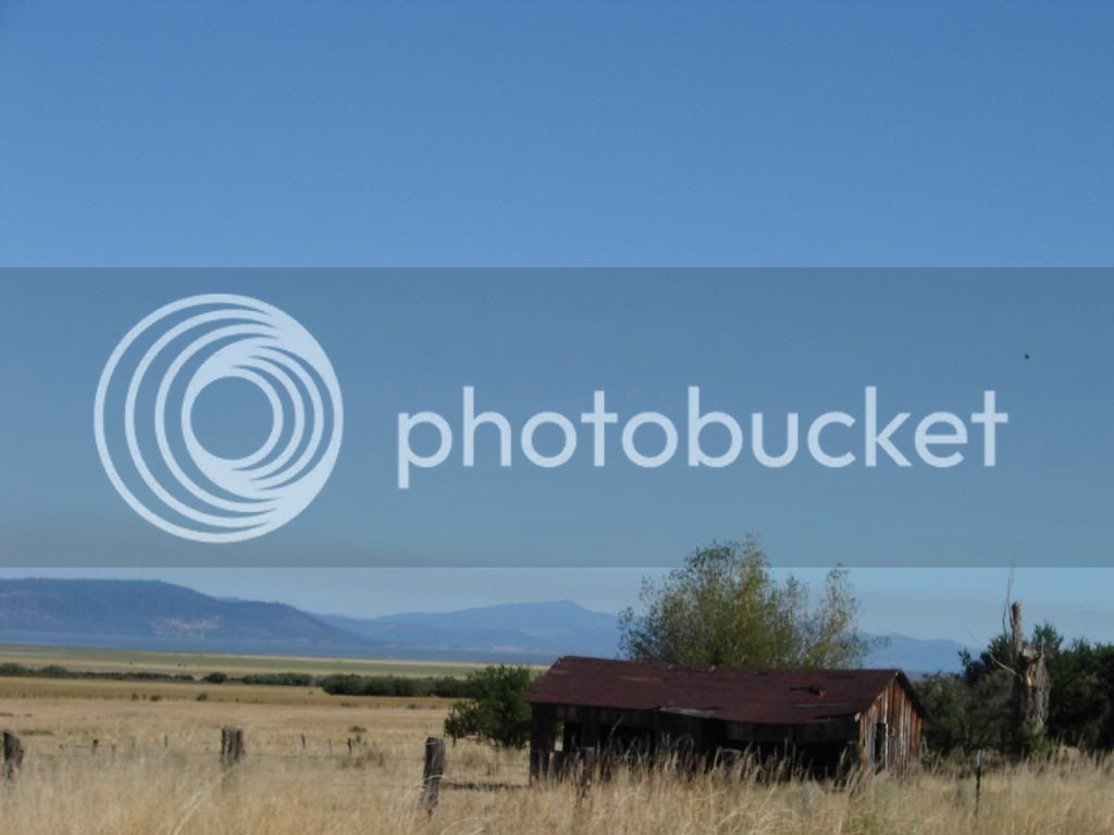
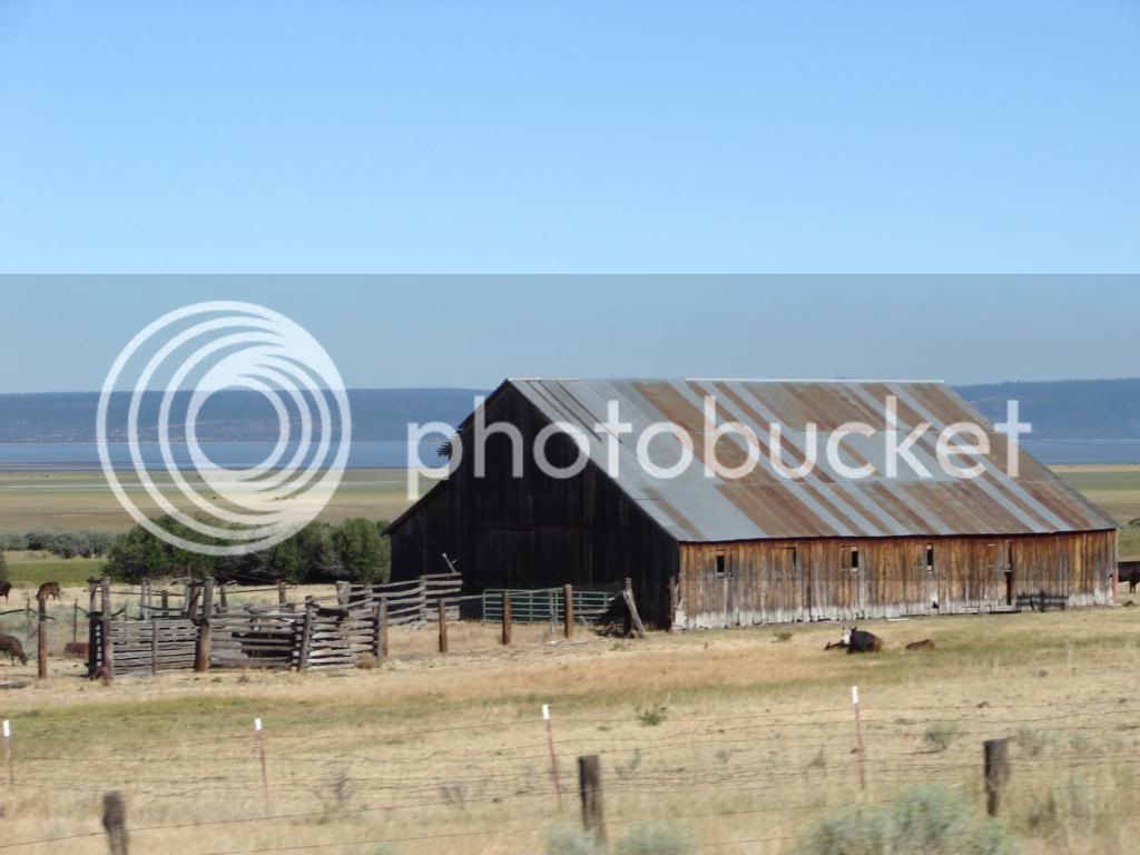
This picture shows the fence posts that consist of a cylinder of wire filled with rocks, the high desert plain, the low lying ranches that utilize creeks for the farming of hay and the raising of cattle, two barns with the same design; why pay for two designs when two of the same thing will do the job?

DSC00360.jpg


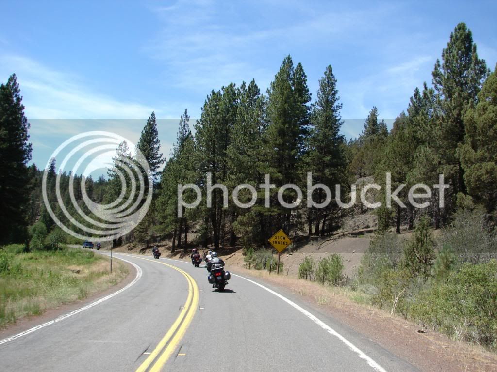
Sometimes signs just show up at the right time…we would have never noticed that the pickup in front was going slowly if it weren’t for the sign.

DSC00373.jpg


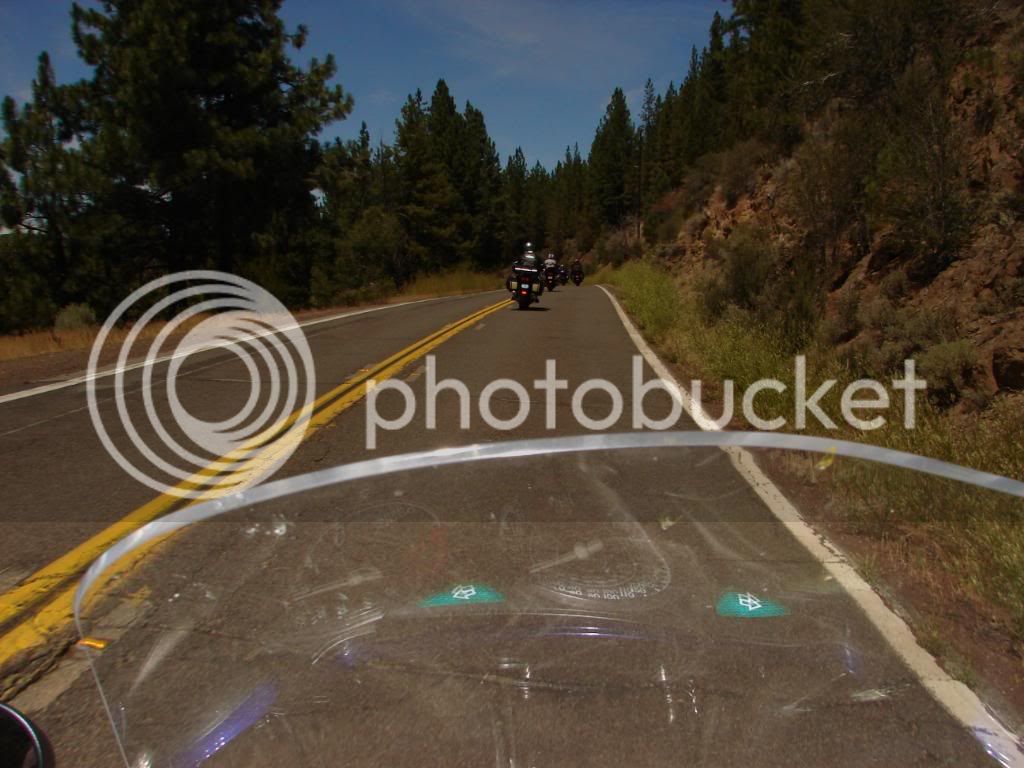
The bike had the tank bag on, a radio antenna sticking up from that and was generally more loaded that usual. The result was that the camera settings were often changed without my knowing as it hung from my neck. The result photos were sometimes trash, and other times pretty cool. This is one of many examples of flash usage that created interesting images and colors.

DSC00374.jpg


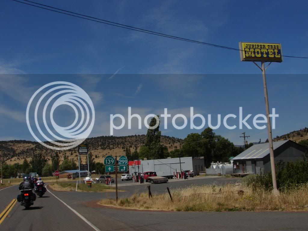
Juniper Tree California

DSC00390.jpg


Why it’s called Juniper Tree

DSC00381.jpg


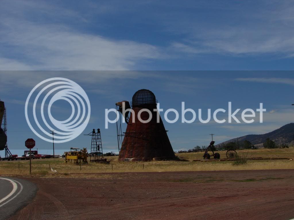
These things puzzle me. Anyone know exactly what they were for? I assume from their design that they may have just been big incinerators.

DSC00391.jpg


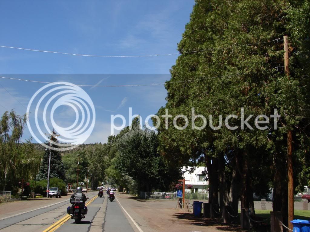
Adin California seems to be a community that takes Arbor Day seriously. This place does some major planting.

DSC00395.jpg


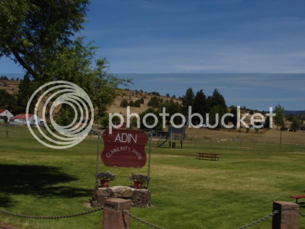
It also has a nice lawn in the Adin Community Park.

DSC00394.jpg


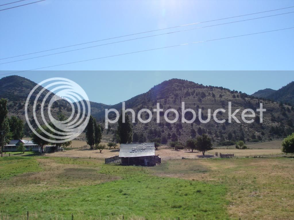
Soon, we were back where ranchers eased fields of hay into low spots of the desert and homes and barns of the Great West showed that generations of people cut from tough cloth put blood and sweat into this land.

DSC00406.jpg


All this, and we haven’t even got out of California yet. We were yet to enter Oregon, Idaho, Wyoming and Utah.

 
Last edited by a moderator:
The repeated theme of old time ranches with modern day operations and homes continued. Homes of past and present stood beside each other in a statement of love of the land and way of life.

DSC00413.jpg


We rode through with anticipation of the ride ahead, and pleasure with the ride we were on.

DSC00424.jpg


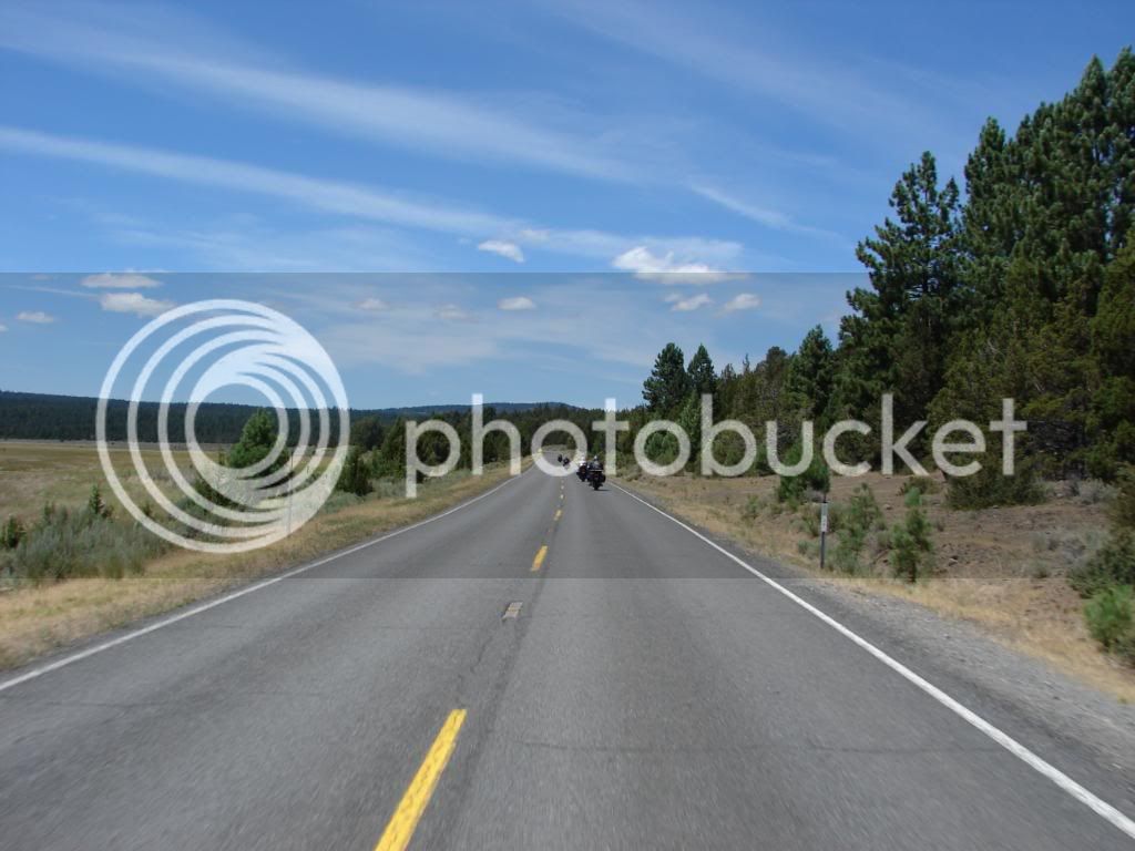
Small mountain ranges separated valleys large and small with each valley containing similar ranches.

DSC00079.jpg


In some areas, the hay was green, in others just harvested. It was as though they all shared each other’s schedules to ensure no mass overstock an any one time.

DSC00429.jpg


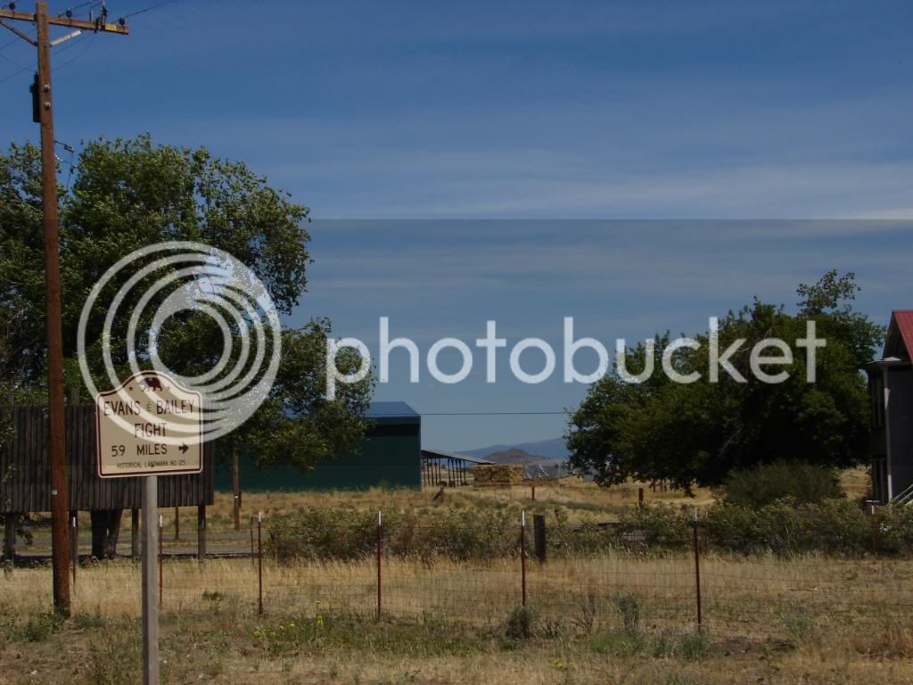
I wondered what this was and found this information:

“In 1861 S. D. Evans, Sr. and Joe Bailey, stockmen from Rogue River Valley, Oregon, and 16 of their employees were driving 900 head of beef cattle from Roseburg to the mines at Virginia City, Nevada when they were attacked by Indians and the two owners killed near Canby, California.”

DSC00435.jpg


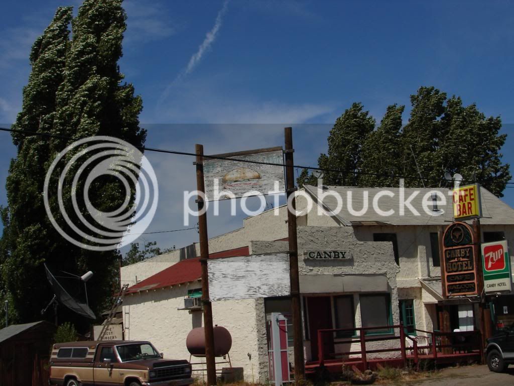
I’m not sure the Canby Hotel was available for them then as it looks far too modern. I couldn’t find it’s history, but this 13 room hotel is up for grabs at $285,000 US.

DSC00436.jpg


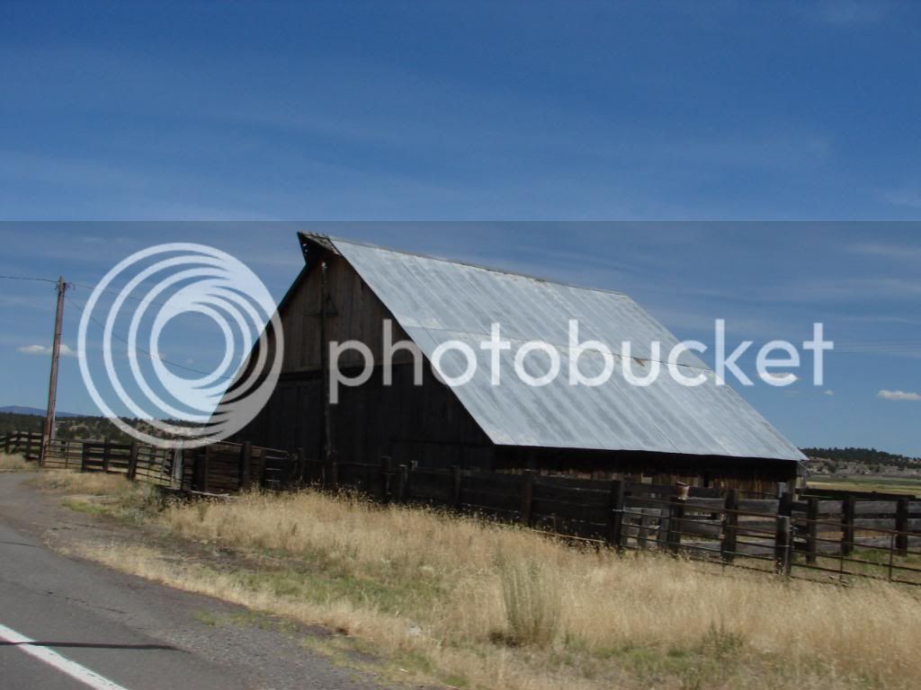
Barns and old homes; I like them. I just couldn’t help taking pictures of them.

DSC00440.jpg


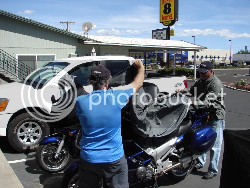
We hit Alturas early in the afternoon and checked into the motel. People hadn’t slept well the night before the ride; the usual pre-ride jitters. We all seemed content to walk to the store, and relax before turning in. There wasn’t much more to do anyway. I did take a walk in Alturas, but found that it seemed like a small version of Cortez, Colorado (as though you know what I mean). I kept trying to get good pictures, but every time I clicked the shutter, Joe turned his back! As was often, Joe’s helping. This time he helps Tim put on the bike cover. Joe was always sharing interesting facts and recanting relevant anecdotes. He seemed to be someone who really takes interest and obtains joy from the details of living, and then shares his revelations with others in a way that makes him really cool to be around. Now, all the others are super cool too, but I already knew them so they didn’t strike me as nearly as interesting as the new guy.

Mike once mentioned on this trip about me, “He’s English.”

DSC00451.jpg


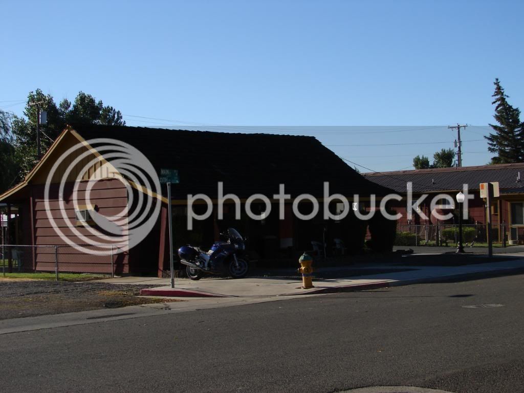
We ate dinner and saw an 05 FJR go buy a few times. The next morning I explored a bit and found this FJR in front of an Alturas Hotel room. We’d meet this guy later.

DSC00284.jpg


Tomorrow, we’d ride through Oregon to Caldwell, Idaho.

 
Last edited by a moderator:
Alturas California to Caldwell Idaho:

We all prepped our bikes and had a quick continental breakfast. We left at 9, which we later determined to be too late and we decided to leave at 8am on subsequent rides. Tim let me know that I indeed snore louder than he does. I knew this to be true due to his soft snore more akin to a cat purring than a snore. Well, that sure changed the next night. He was still quieter than me as the way he slept with the pillow over his head clearly demonstrated. Sherri nearly fell out of her chair when I recanted how Tim had asked me in astonished wonder, “How does Sherri put up with that?”

All this made me very self conscious to the point that I think my snoring woke me up more than it woke Tim up. I didn’t sleep well again until I was in Park City and not rooming with Tim. If only Tim could have pretended not to notice, I’d have slept a lot better. What a mean thing of him to do! Oh well, I still like him, I’ll just never ask him to save me money by rooming with me again, which I’m sure will break his heart. Hey, I have to get my sleep.
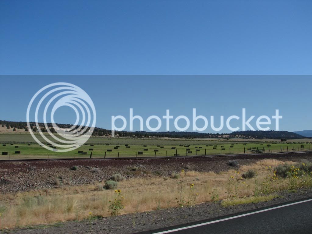
Sometimes hay is bailed.

DSC00003.jpg


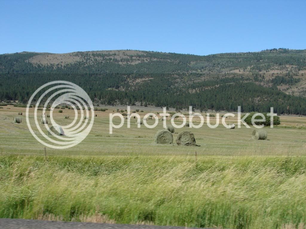
Other times it is rolled.

DSC00082.jpg


I like harvested hay. It reminds me of the cows that will eat it, and the steaks that will be on my barbeque.

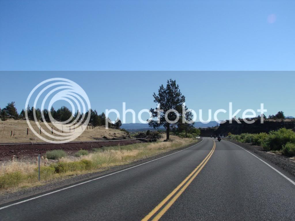
I also like railroads, especially when they crisscross with the road that I am riding on. This shot of tracks next to the road with the trees brings me peace.

DSC00004.jpg


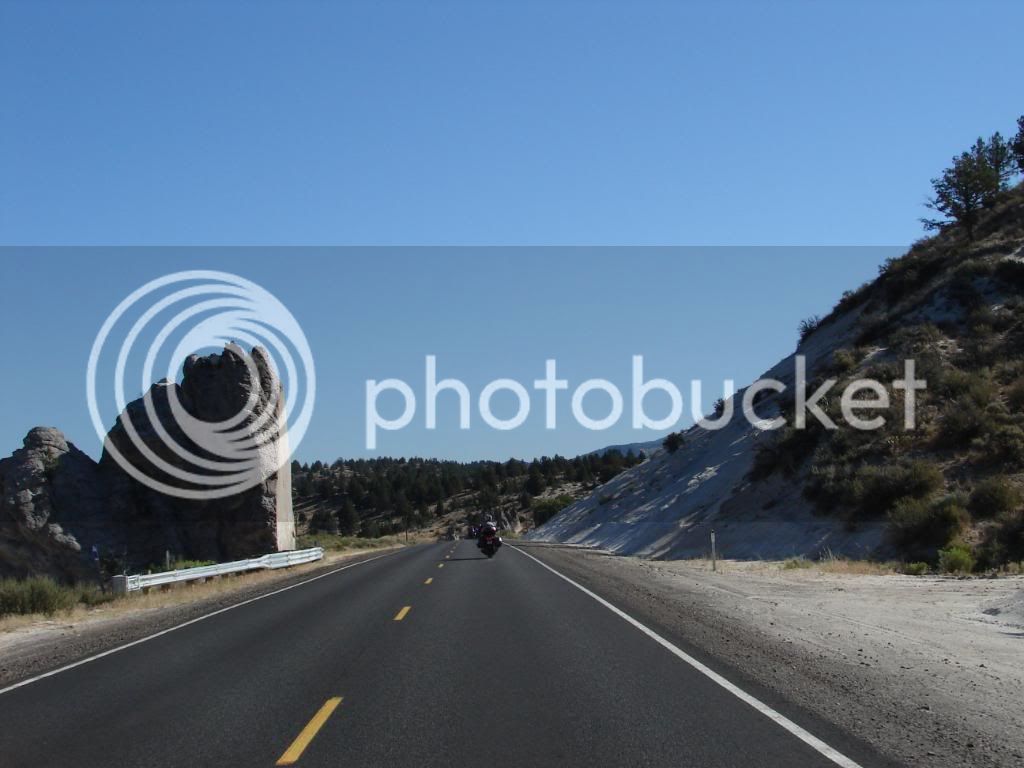
I also like to see the various obstacles to roads that Engineers decide to cut through rather than go around. This example of the rock cut so cleanly is one of the stranger examples I’ve ever seen.

DSC00010.jpg


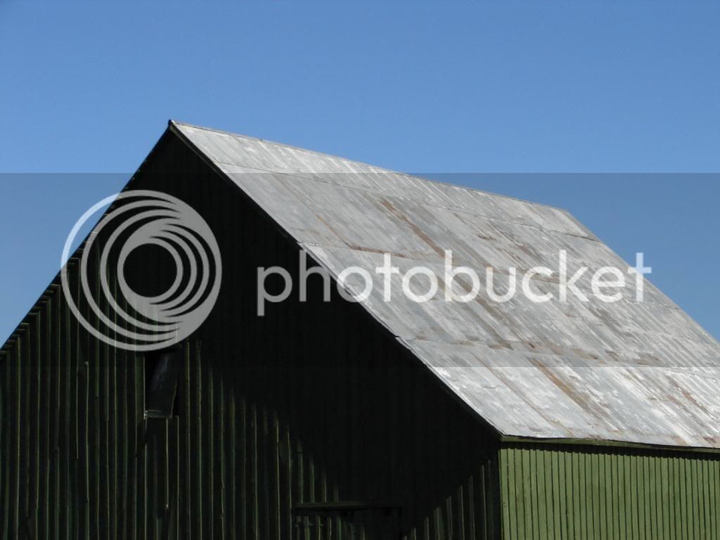
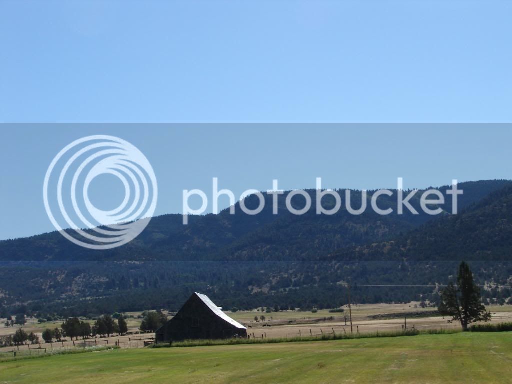
Hills then valleys with barns

DSC00018.jpg


Presence barn

DSC00021.jpg


Tired barn

DSC00025.jpg


Stoic barn

DSC00027.jpg


Useable barn

DSC00046.jpg


Some of you might know that I like barns. I do. Really. They are cool. I should get one.

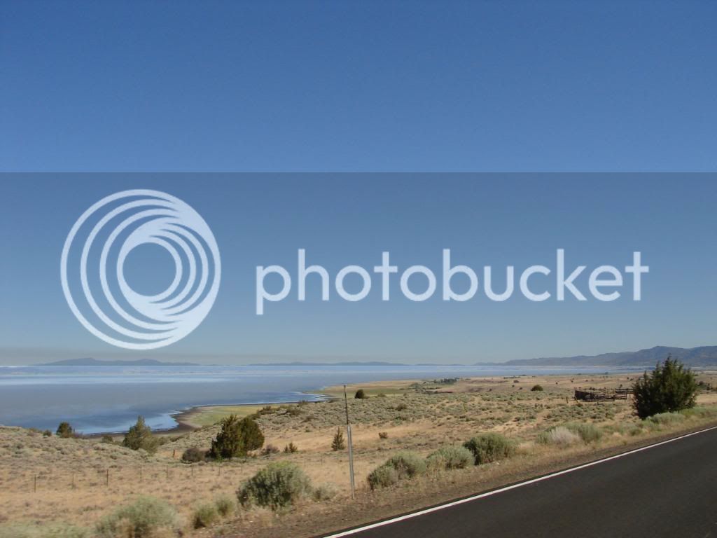
Goose Lake is big, and offers up some really nice views.

DSC00040.jpg


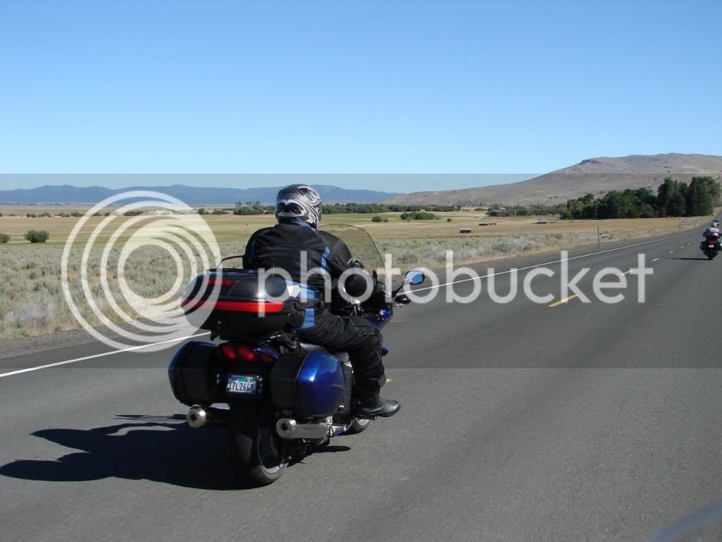
Mike rolling through Eastern Oregon.

DSC00057.jpg


We were well past Goose lake at this point. I don’t know what lake they were viewing, but I think the view was more an afterthought after passing by.

DSC00060.jpg


DSC00061.jpg


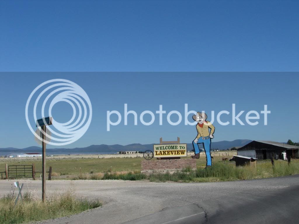
Lakeview had its moments in time

DSC00063.jpg


We stopped at a campground in Lakeview where you could not see the lake. They had a gas station and restroom. Nobody needed gas.

DSC00070.jpg


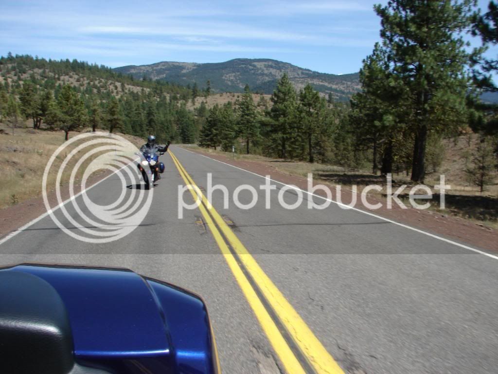
During a spell of scenic boredom, Tim and I found each other to photo.

DSC00071.jpg


This hay looks ready to feed to cows!

DSC00073.jpg


This is another example of interesting coloration due to flash usage.

DSC00078.jpg


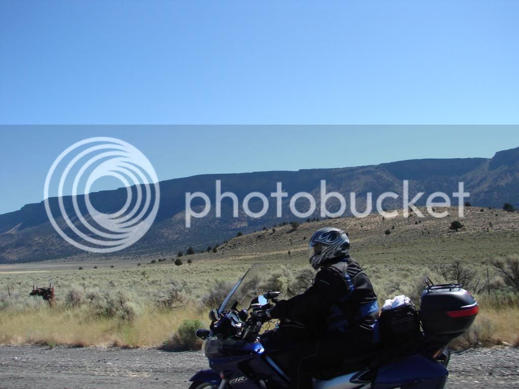
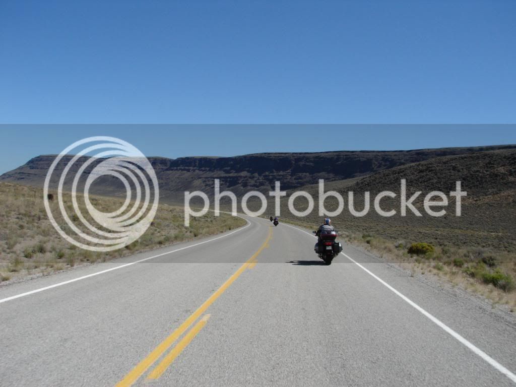
Mike rides along one of the longest plateaus I’ve ever seen.

DSC00084.jpg


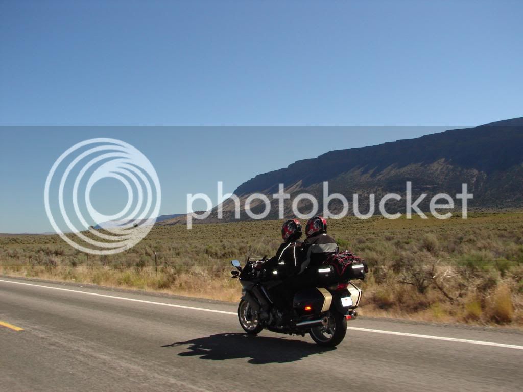
Some pictures seem good when you take them. Then, when you see them the reach out to you and say, “See that! I told you I’d be good!” This is one of those. This plateau really struck me as spectacular. While the desert can seem so dreary, there are these gems out there.

DSC00088.jpg


Alkali Lake

DSC00096.jpg


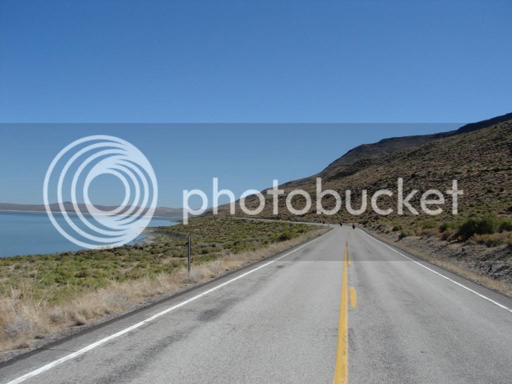
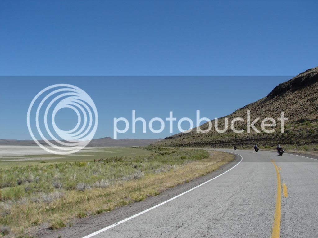
On one side there is a lava hill separated from the green belt that is between the hill and the alkali flats that eventually result in a lake.

DSC00099.jpg


Each time you rounded another corner, the plateau stretched further. This shot would seem to show the end. It didn’t.

DSC00113.jpg


Some places just remind you of the smell of stale cigarette smoke just by looking at them.

DSC00118.jpg


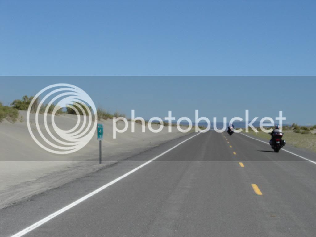
Sand dunes were a surprise. I guess they should have been expected in the desert.

DSC00124.jpg


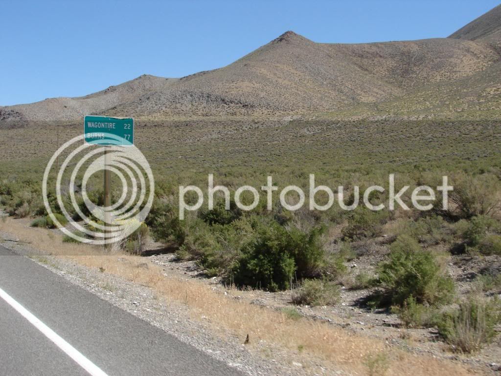
I couldn’t wait to find out what Wagontire was about.

DSC00119.jpg


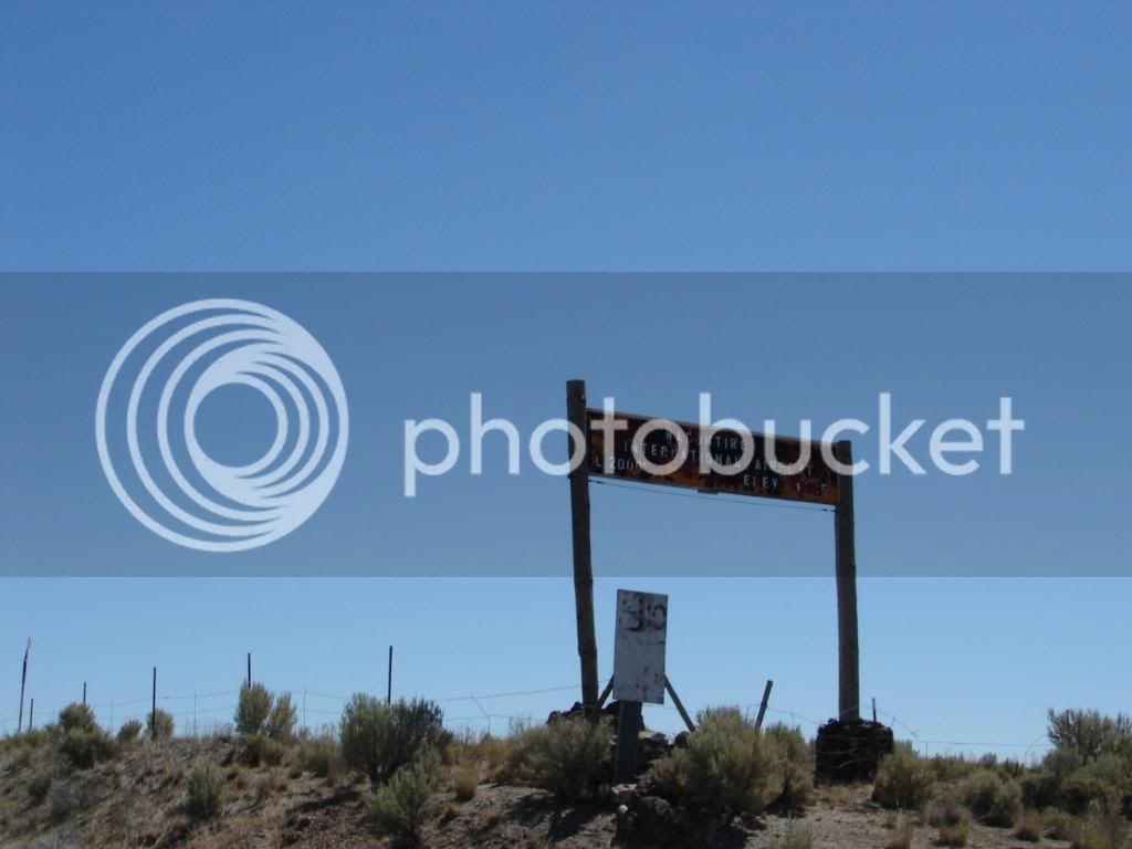
Mike was amazed that there was an international airport here. Apparently, a person from Vancouver owns some land somewhere near there.

DSC00132.jpg


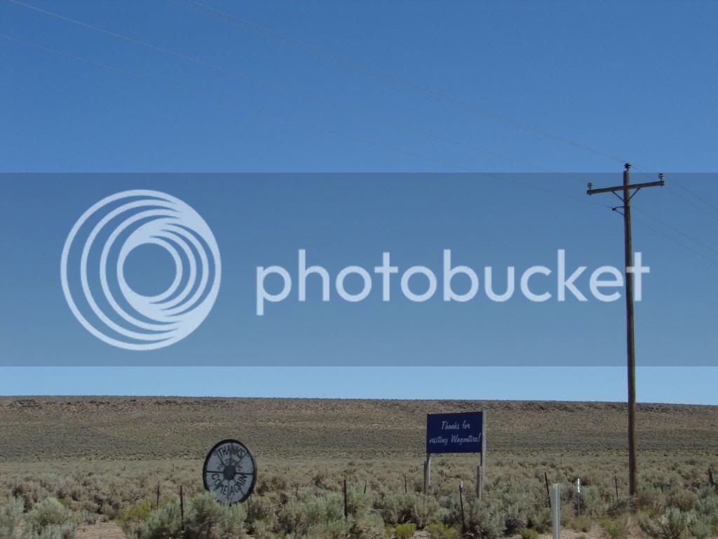
Towns in these areas seem to thank you for leaving.

DSC00135.jpg


Free range…watch it at night.

DSC00138.jpg


Take a right.

DSC00142.jpg


Last edited by a moderator:
We had fast food for lunch. I’ve never waited in such a long line for fast food. After lunch we were about to pull out when the 05 FJR that we saw in Alturas waved us down. We met Bill from Arizona. He ended up meeting us in Caldwell later that night too, stayed in the same hotel and we invited him to dinner with us. He had never heard of WFO, but now he has.

DSC00149.jpg


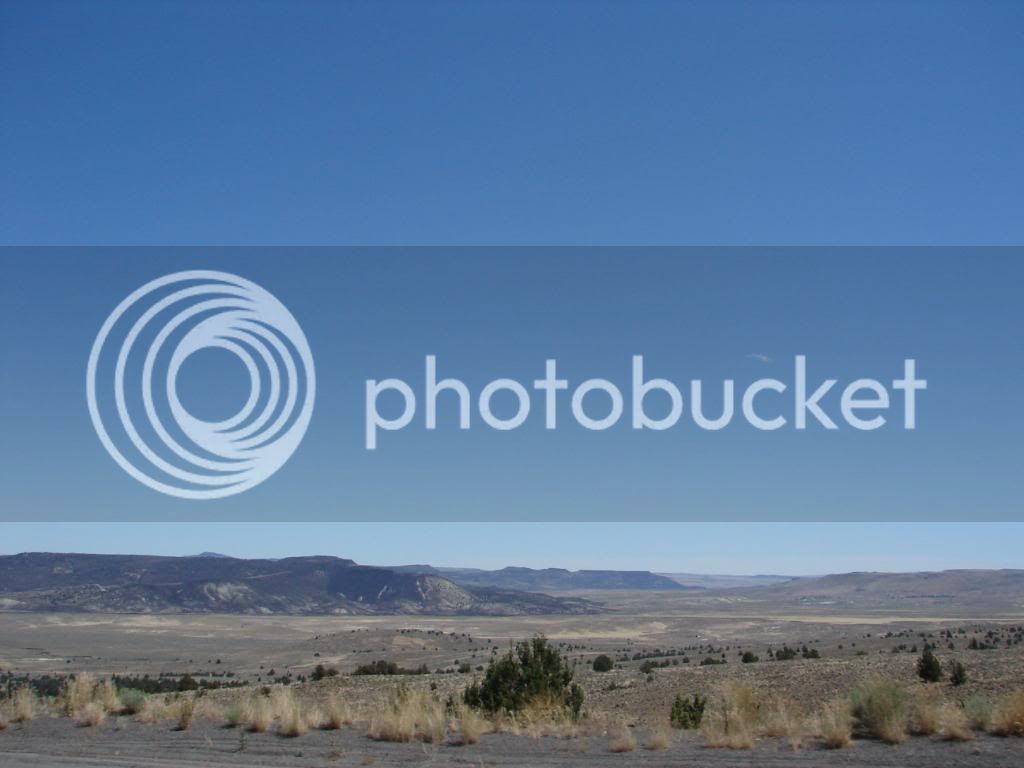
If you have ever been over Monitor Pass, you know of a view of a valley floor far below the pass. It gives you a feeling like flying at 30,000 feet and also gives you a sense of size. This picture shows only a portion of that feeling, but in person the location is more dramatic than what you see from Monitor Pass. This view alone was worth the drive. My jaw dropped as we crested a seemingly low pass to see this.

DSC00162.jpg


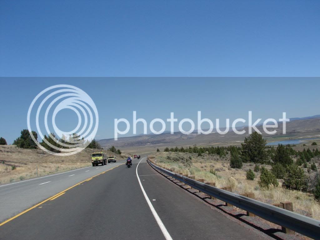
Fire crews head to a brush fire on the other side of Goose Lake far away by now.

DSC00166.jpg


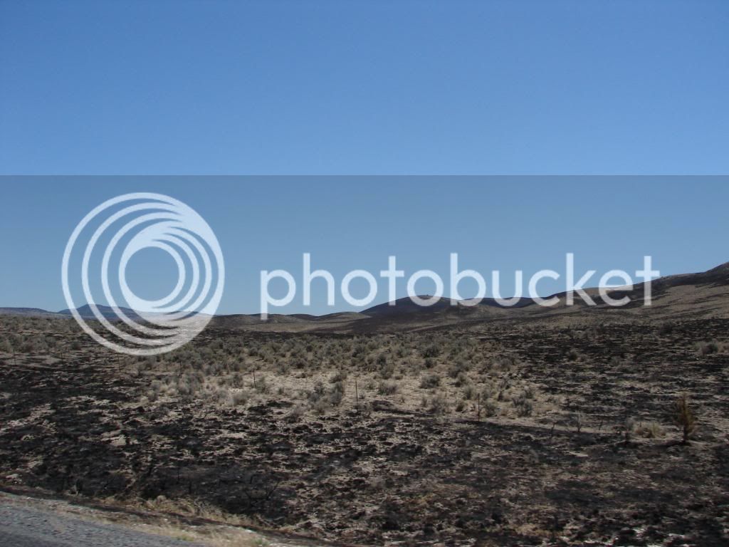
Fire had scorched a huge area further on. This was a recurring theme. There was fire in the Sawtooth, there was fire in the outback of Idaho and Wyoming. It all left its scar and all will create additional surges of growth.

DSC00167.jpg


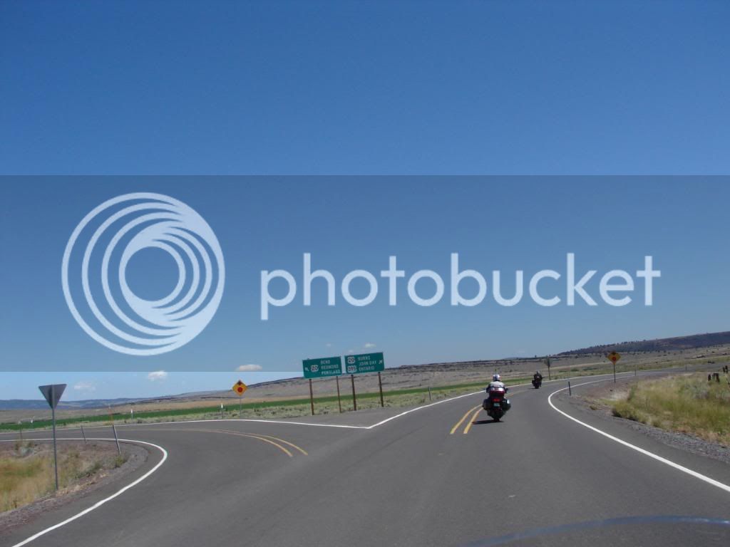
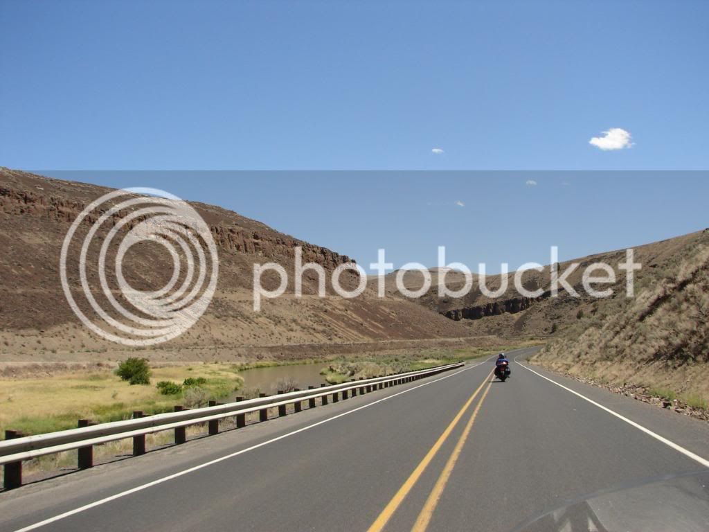
I have no clue what canyon we were going through at this point on Highway 20 in Oregon. Some of the scenes reminded me of scenes in Israel.

DSC00179.jpg


DSC00188.jpg


DSC00189.jpg


DSC00197.jpg


I half expected Ted Neely to come skipping down the hills singing advice with scorching vocals

DSC00201.jpg


Notice the tunnel through this one…it was for the railroad

DSC00198.jpg


Last edited by a moderator:
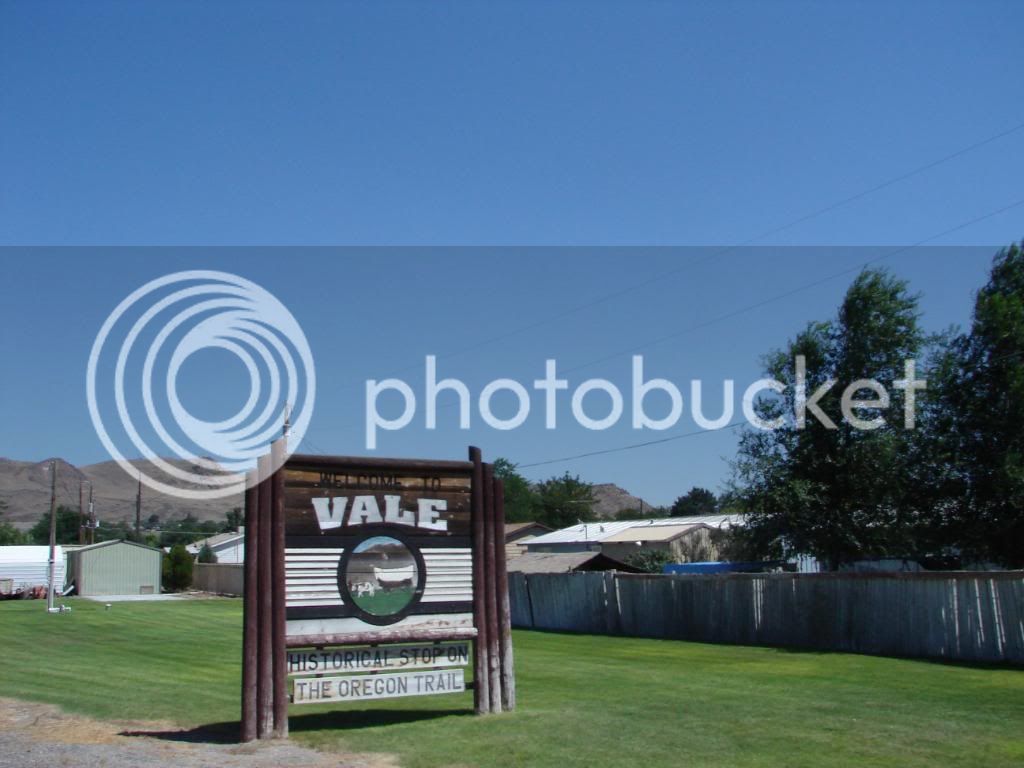
We then arrived in Vale, Oregon. It was HOT. We were all a bit scorched, not by Ted Neely’s vocals, but by the hot and dusty heat of the Oregon Desert. Some kind of break was in order, but nothing was planned.

DSC00206.jpg


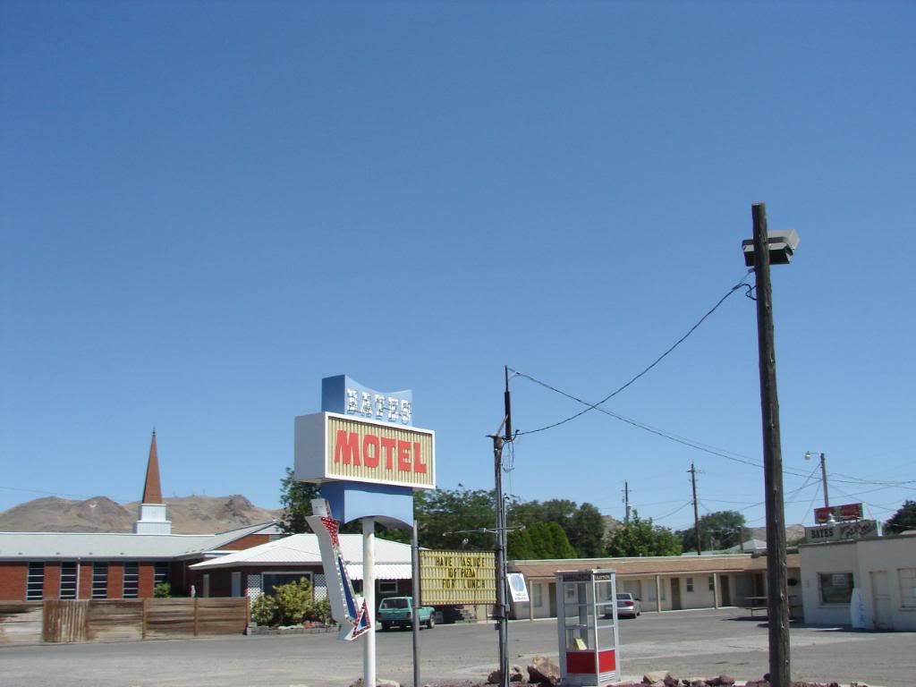
Tim’s last name is Bates. We passed on his hotel.

DSC00207.jpg


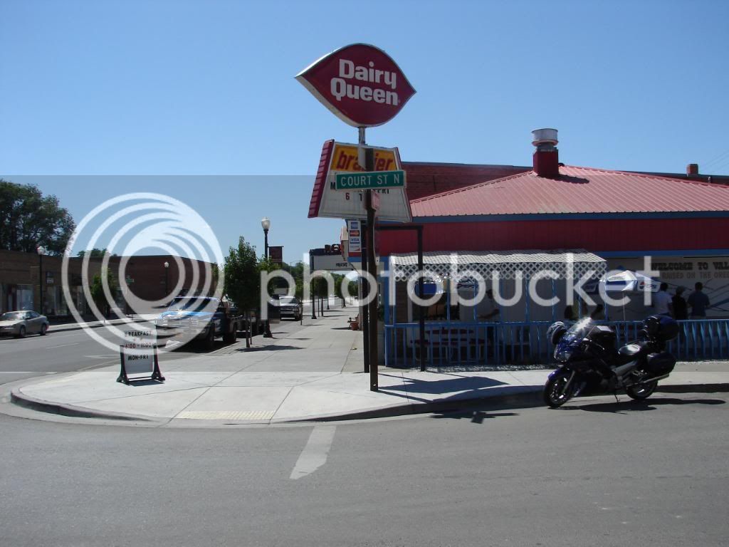
But I saw this place and while transmitting a need to break nearly screeched out loud that I wanted an ice cream cone!

DSC00211.jpg


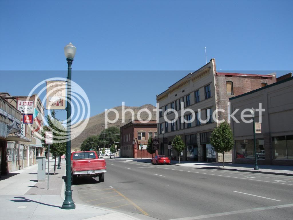
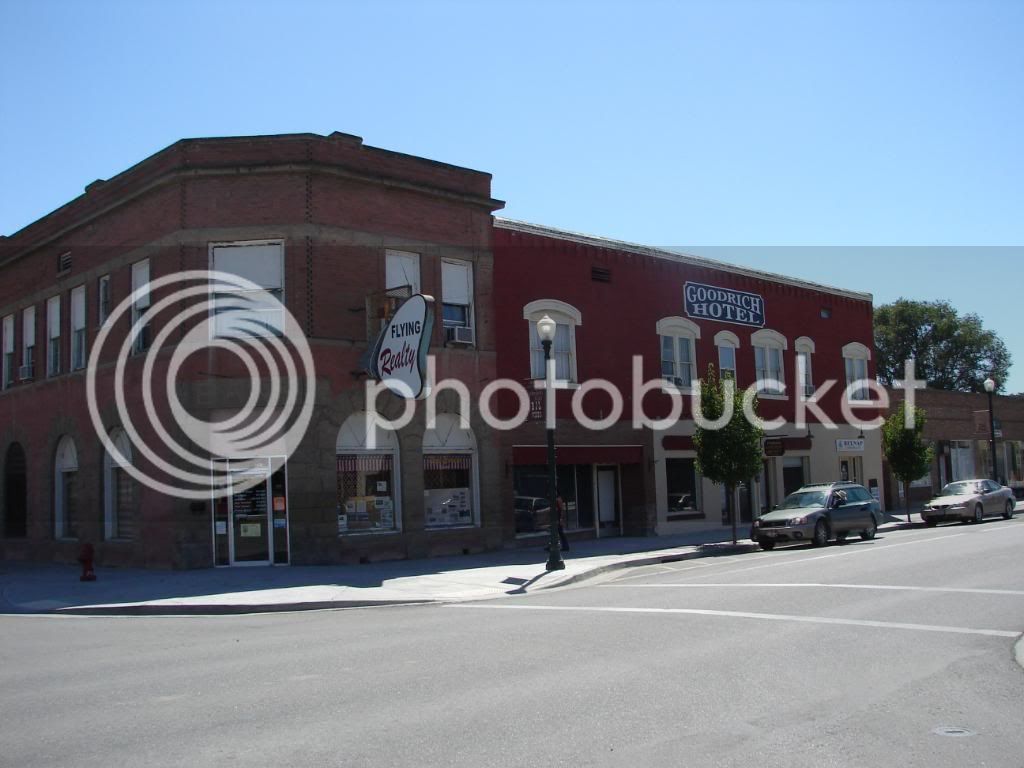
These next shots are Vale, Oregon. People there are proud.

DSC00209.jpg


DSC00208.jpg


DSC00212.jpg


DSC00214.jpg


Then we went on, stopped in Caldwell and enjoyed the indoor pool at the La Quinta Inn after a hot day of riding. Hmm…beer and swimming…nice.

DSC00222.jpg


Wow…this report is long. I haven’t even got to the incredible scenic byways and National Parks that we were yet to visit. Still to come is the Sawtooth, Yellowstone and the Grand Tetons (Joe’s favorite range). I was amazed by the last two days of riding. First, the whole desert thing surprised me. Second, the continual repeating of pass, valley, ranches then back to pass was very cool for me. I have never been in a place where ranches were so very localized to the water source. The obvious signs of over a hundred year’s of ranching in this barren land impressed me. I guess when you are moving along in a wagon on the Oregon trail, you just decide to stop somewhere and eek out a life.

We ate at Perkins in the same parking lot as the hotel and enjoyed the company that Bill offered. Having ridden from Flagstaff, he had stories to share and sparked quite the reminiscence of the Not Ready for Prime Time Players.

 
Last edited by a moderator:
Caldwell Idaho to Blackfoot Idaho: The Sawtooth.

This section of the trip started with the best hotel of the trip, had the worst lunch of the trip and ended with the worst hotel of the trip. The dinner was pretty good though. The riding? Well, I suppose the riding is important. It was incredible. We woke to an overcast, smoky haze that had us all worried about the impact to the views.

We rolled out of Caldwell and skirted Boise. We soon ended up hitting the hills

DSC00223.jpg


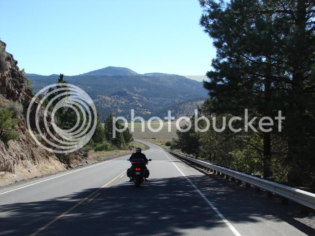
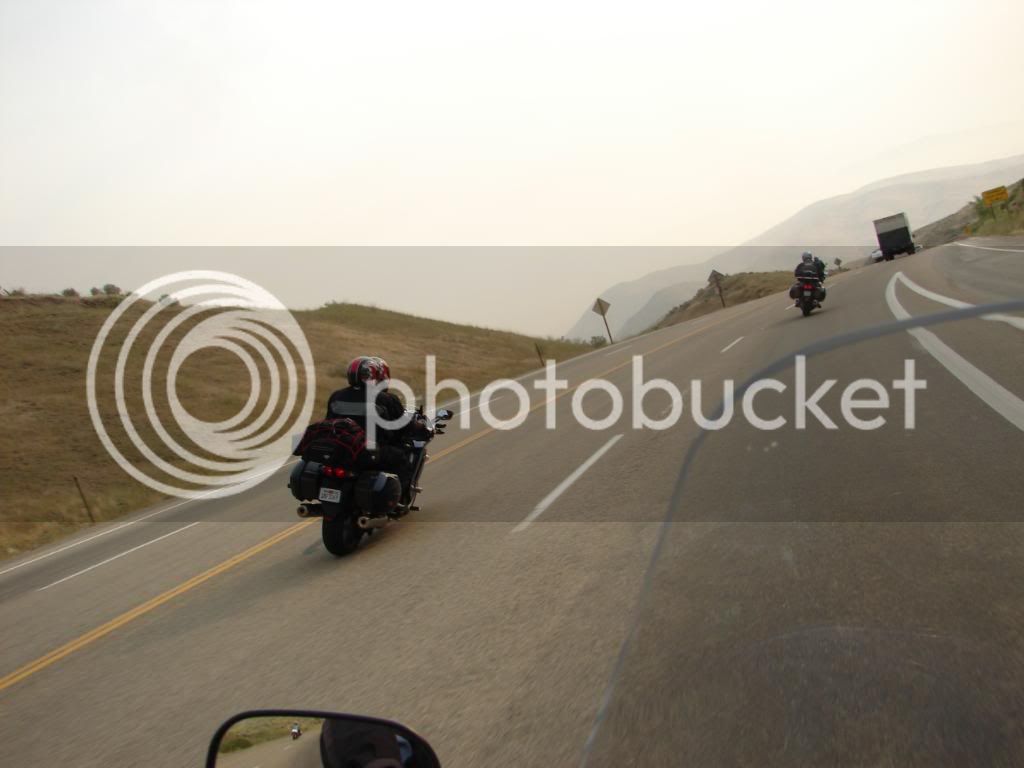
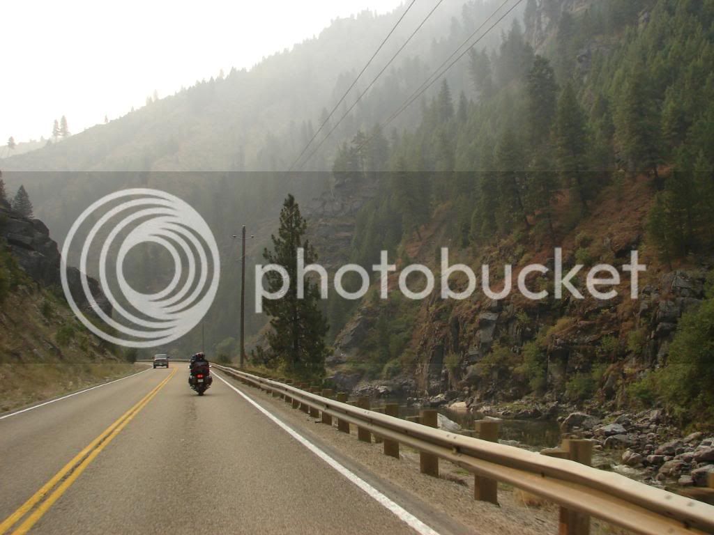
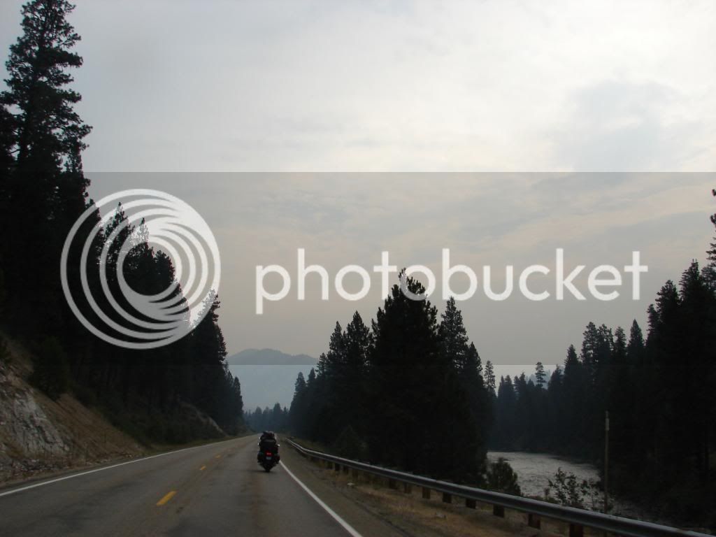
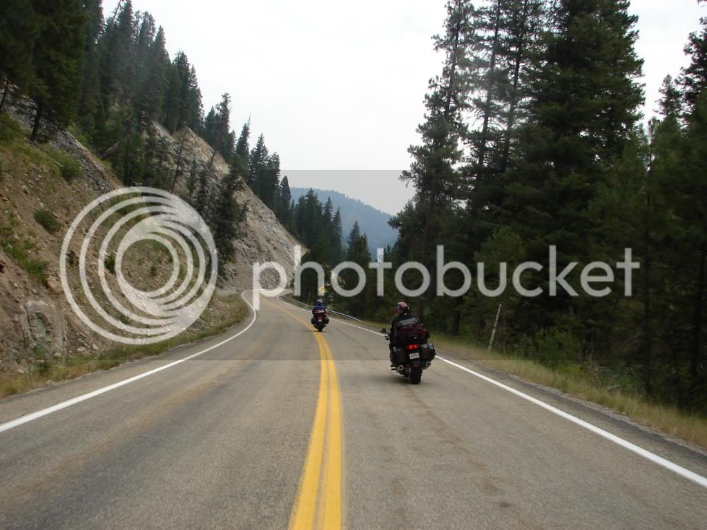
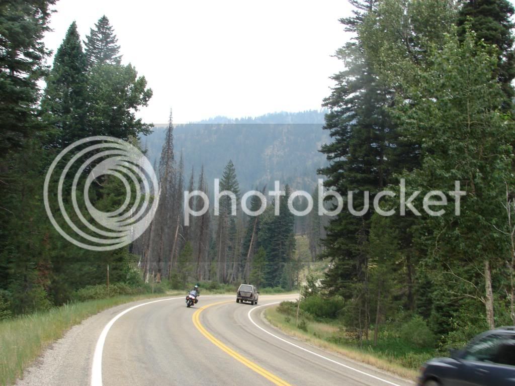
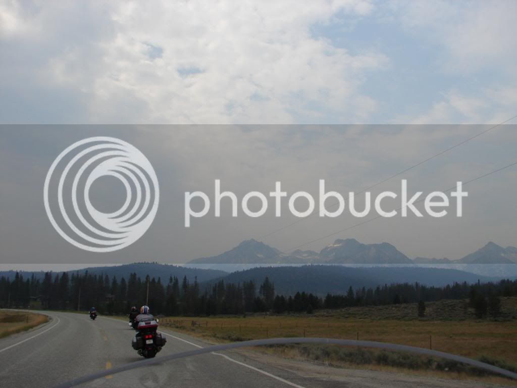
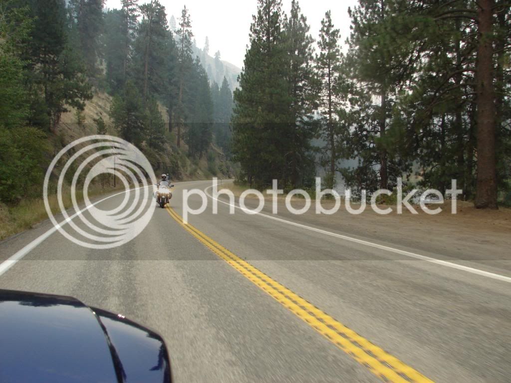
The views were impacted, but the result was more mystically energized than a disappointment; the hills revealed themselves through the veil of haze with the aid of the sun in the cool air. Oh the blessed mountains with their curvy roads. It just makes riding fun and time vanish. Here’s Dave cutting a nice line in Lane #1. Notice the opportune shot of the bike in the rear view mirror. Some photos exceed expectations I guess. I wish I could say I did that on purpose.

DSC00227.jpg


And now I am going to bed…the best parts of the ride are to come. Standby.

 
Last edited by a moderator:
Great photos and write up I can't wait to read more.
2247302-plus1.gif

I've done some hunting up around Alturas, and the people there are as nice as anywhere. Good memories.

Everyone should be fortunate enough to ride with this group. I certainly appreciate when I get a chance to. Hopefully, soon....

 
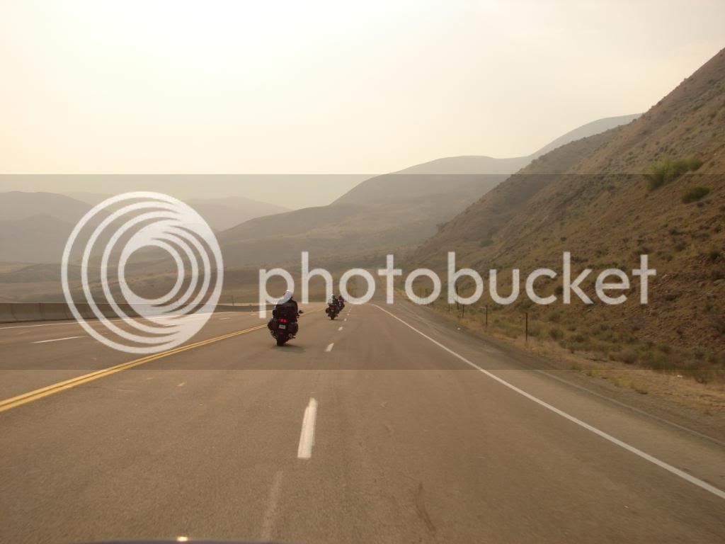
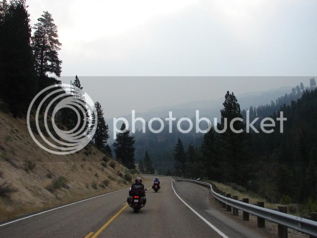
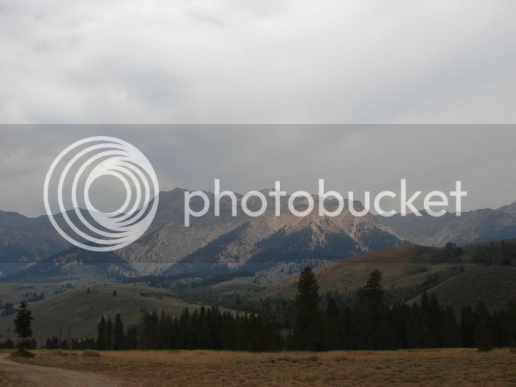
We took 55 to NF-24 to 21 toward Stanley. Riding into the Sawtooth, the pace quickened as we sensed tighter turns ahead. I really had no concept of how far we would ride through these fast sweepers. Having only visited Idaho via Interstate Highway, I had no idea how deep their mountains are. While the views were diminished by the haze, it lent to the anticipation and my legs were bouncing on the balls of my feet. My lines became polished and I warmed my tires with the straight away weave. Hills were revealed in doses.

DSC00231-1.jpg


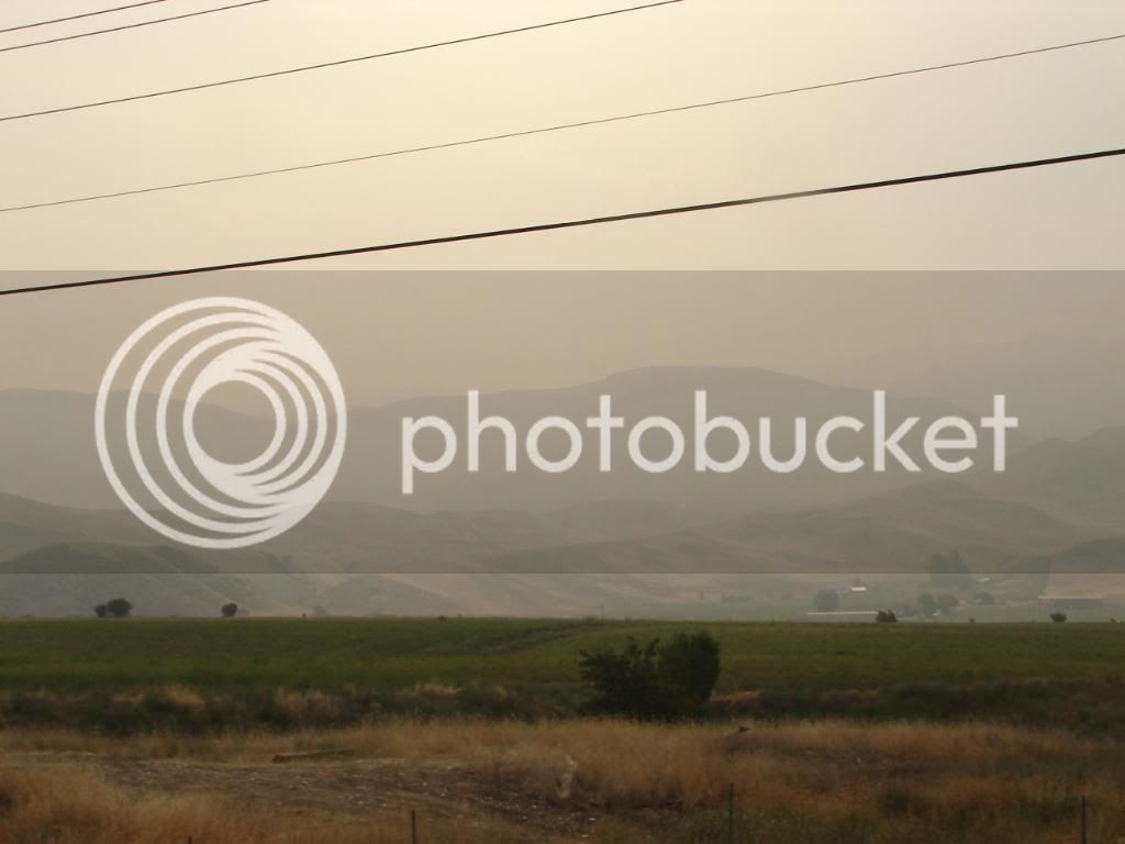
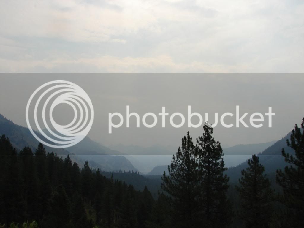
Knowing that Idaho has a lot of volcanic mountains, I wondered if just beyond the last visible hill I was missing the view of an incredibly large range of mountains. Volcanoes can be so dramatic in their rise to the sky, every turn built the anticipation.

DSC00237-1.jpg


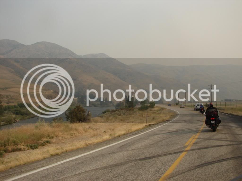
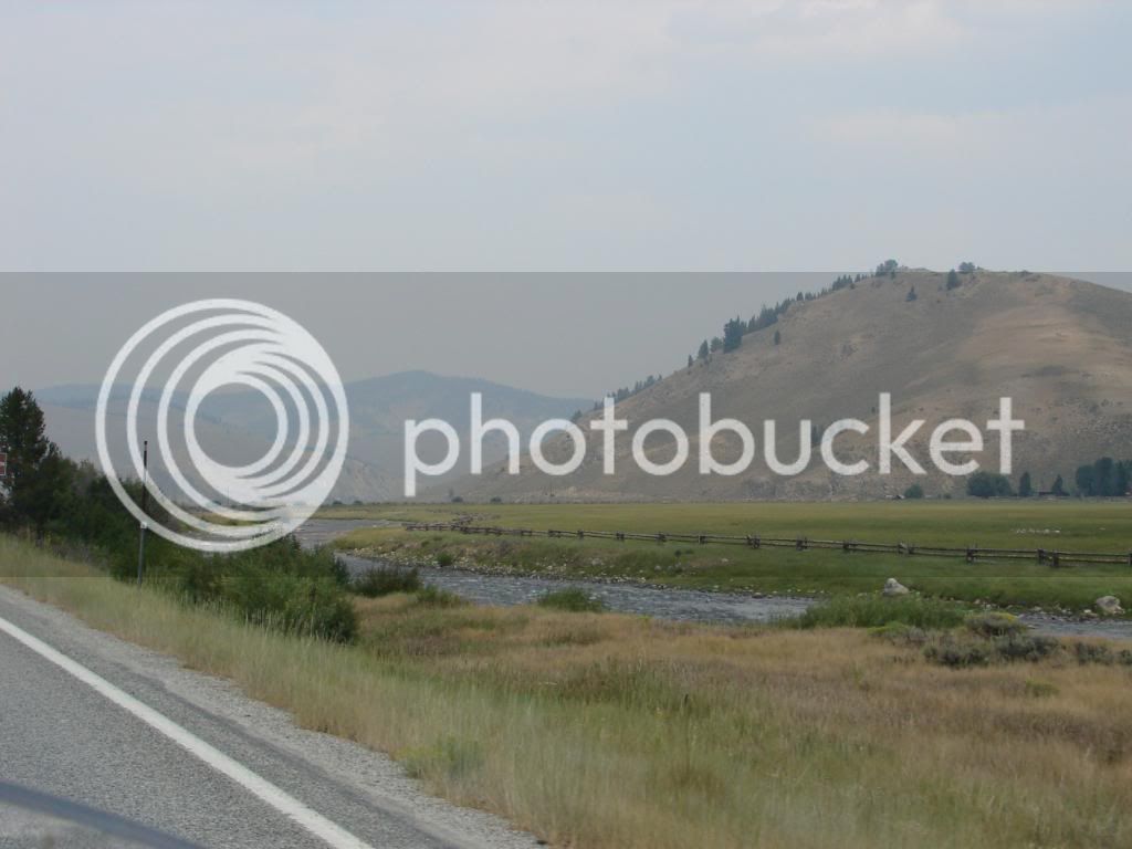
Soon we were riding beside a river. The rivers here are big and strong for the mountains. It let me know that the watershed was large and there were few exits for the water resulting in the water all traveling together. Again, this was another hint of the upcoming ride and my excitement grew again. I really got to a point where I just decided to enjoy each moment to the fullest instead of continually looking forward to the upcoming views.

DSC00244-1.jpg


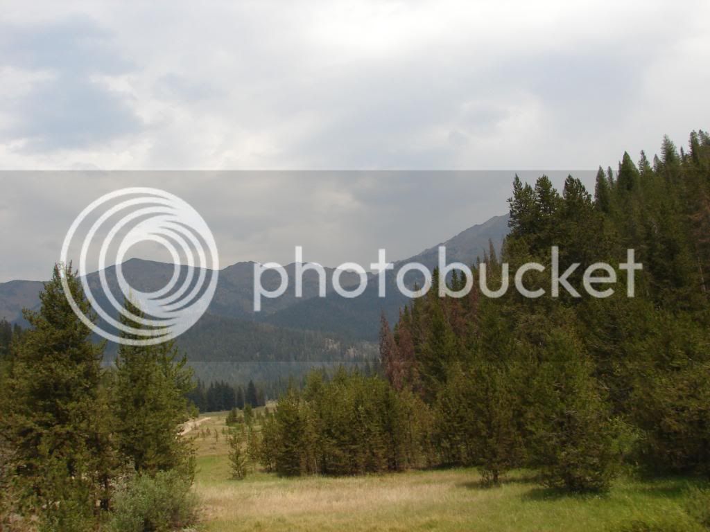
Hey Joe. I was happy to see the pine trees; they are the sign of increasing altitude. The air was wonderfully cool and there was no smell of smoke. It was a really tranquil and quiet morning.

DSC00249-1.jpg


The red flora on the opposite hill caught my attention. I’m not sure what those plants are, so if anyone can let me know, that would be great.

DSC00252-1.jpg


As we entered these mountains, there were signs advising people that cars with more than 3 vehicles behind them were required to use the turn outs. As we had six bikes, people were pulling over for us, with a few exceptions.

DSC00259-1.jpg


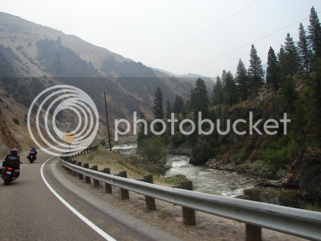
The river gave us many nice views with powerful rapids. River rafting was popular here, but not crowded.

DSC00264-1.jpg


I have to tell you, all the accidental shots that used flash have got me more interested in light control and filtering. This shot shows the clouds in a way that wasn’t visible to the eye.

DSC00276-1.jpg


This shot shows the sky as it was shown to the human eye.

DSC00278-1.jpg


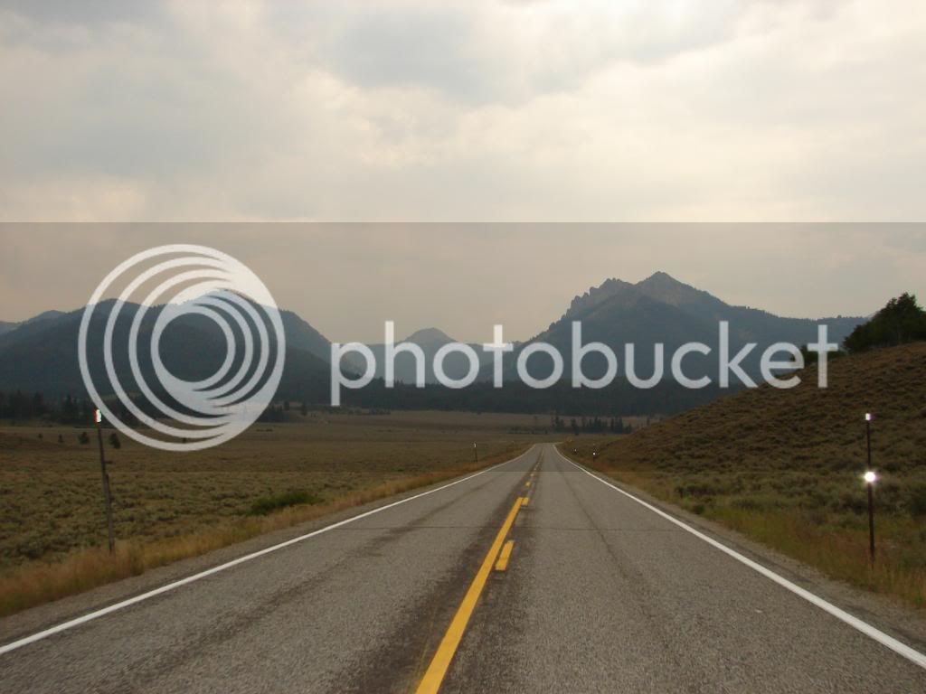
I would say that the road was very fun, but not very challenging. This is an odd combination, but really, it was an easy kind of fun!

DSC00283-1.jpg


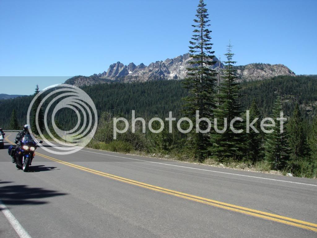
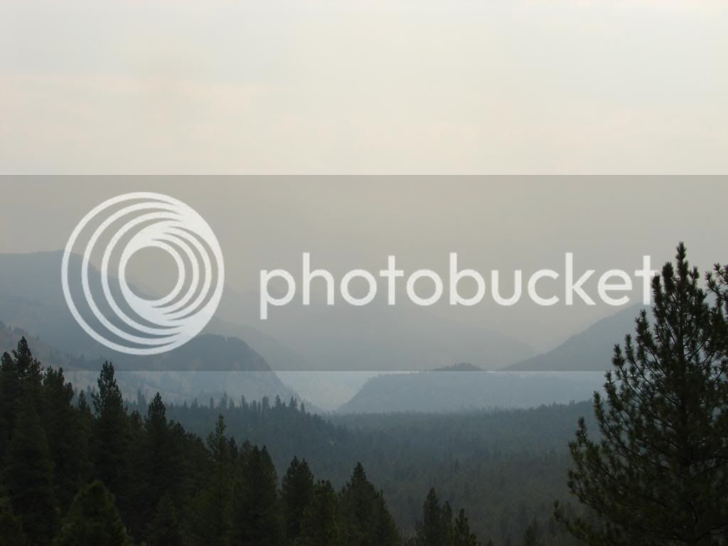
Suddenly, the Sawtooth range was revealed for the first time. They were far away from us, but obviously majestic and rugged through the haze.

I climbed the road’s cutaway into the hill a bit for a better view of the crew.

DSC00289-1.jpg


Whenever I see something like this, the sense of discovery comes to me. I have certainly been places where it was very possible I was the first human to take footsteps, I get the same feeling when I see this kind of thing for the first time even though the roads are paved and tourism industry set up.

DSC00290-1.jpg


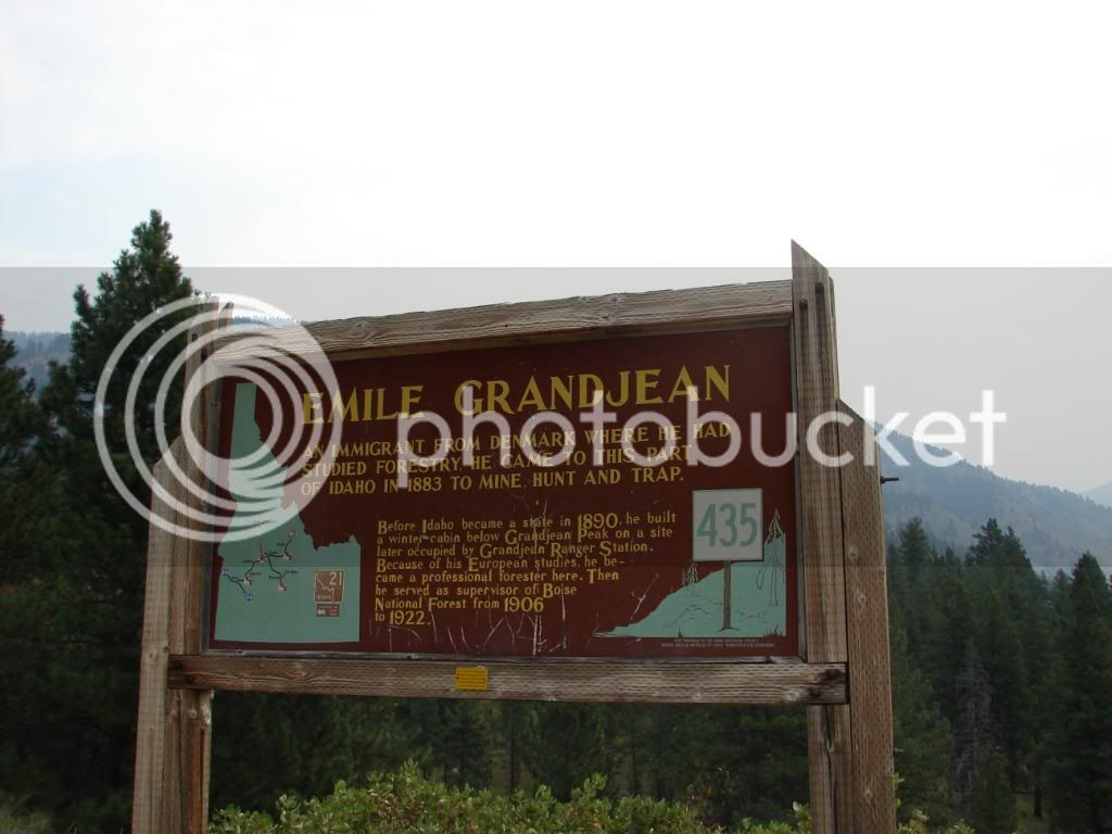
Idaho had many such signs of historical interest.

DSC00291-1.jpg


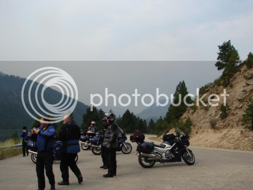
Cameras were clicking

DSC00294.jpg


This photo is worth adding not because it’s perfect lighting balance and focus (ha, ha) but because of the way the view draws people to it.

DSC00292-1.jpg


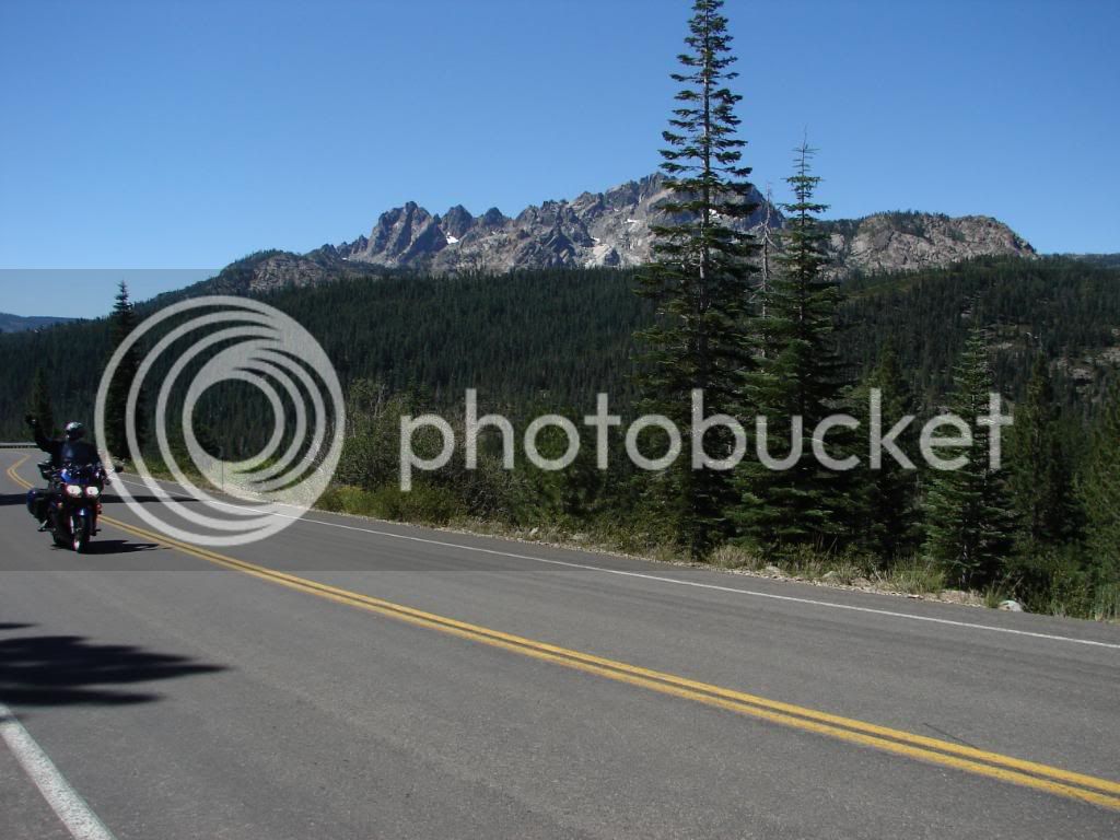
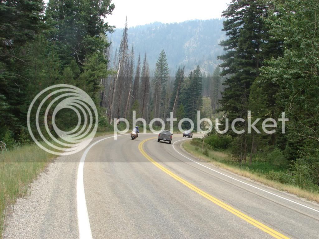
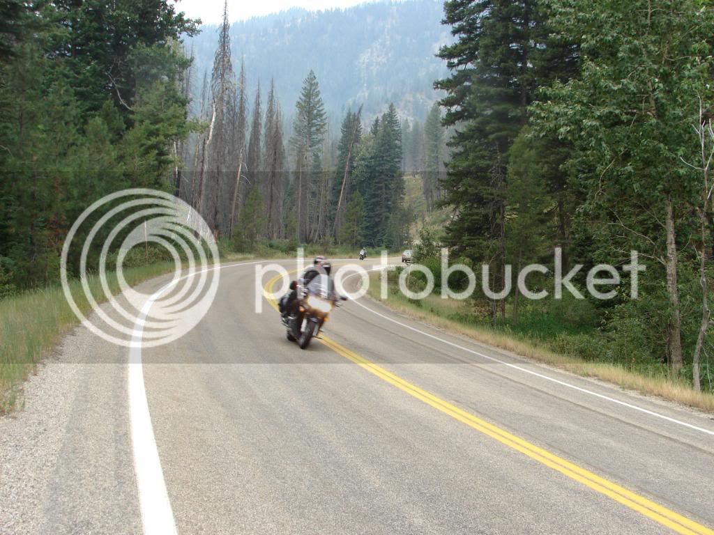
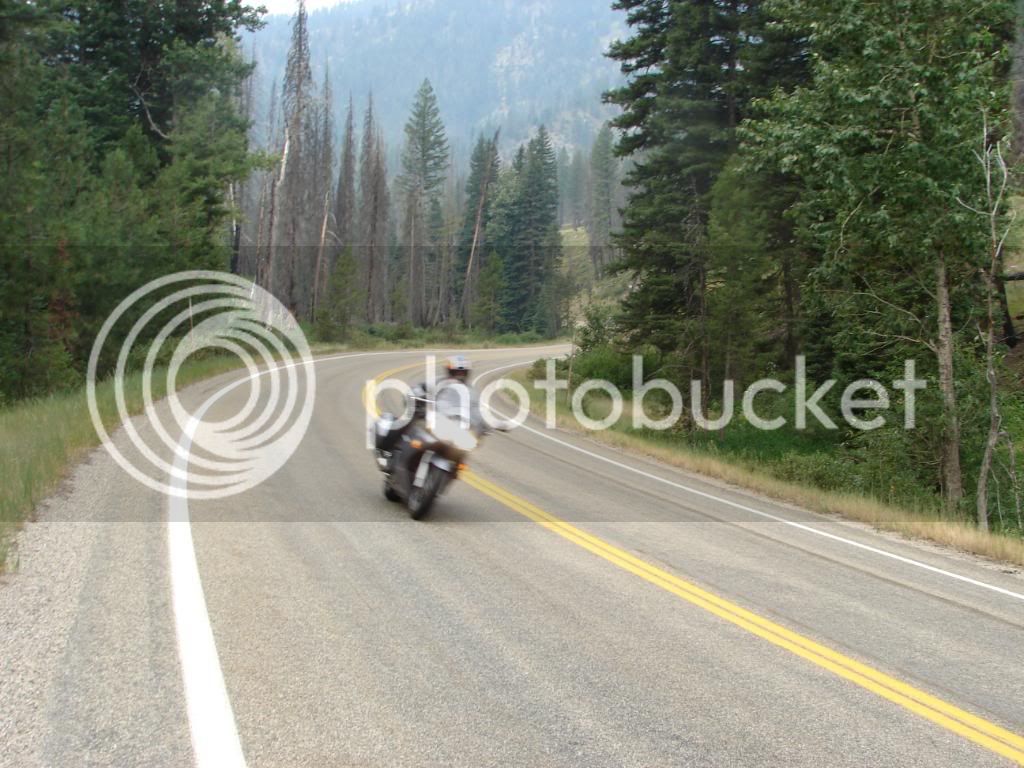
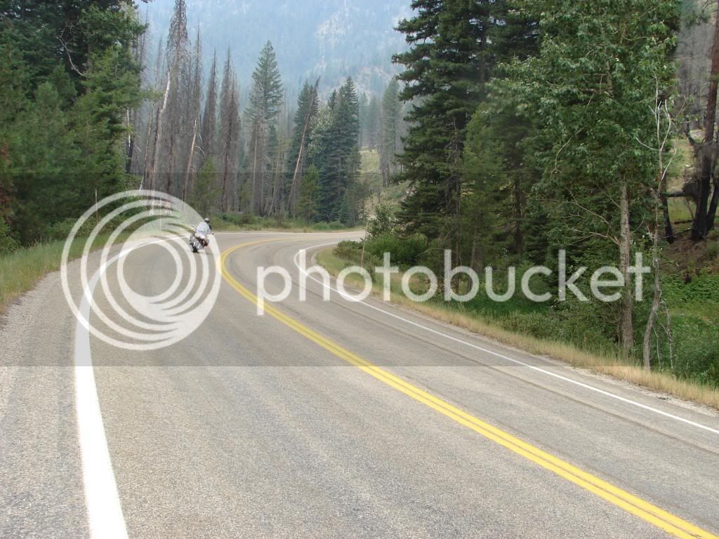
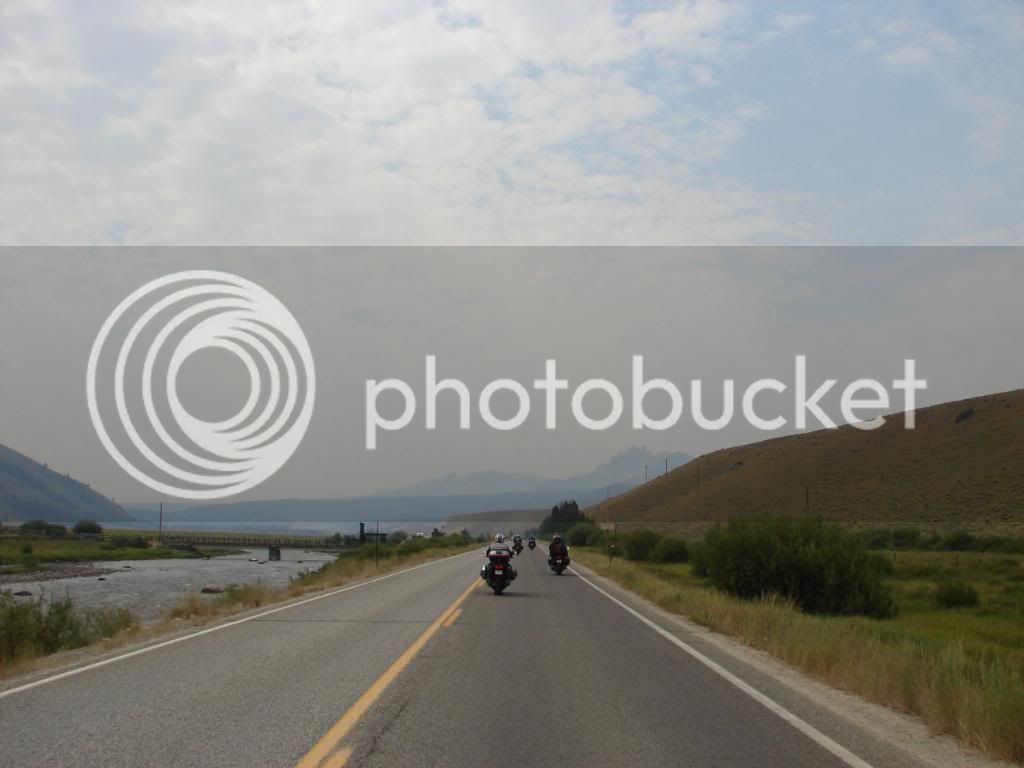
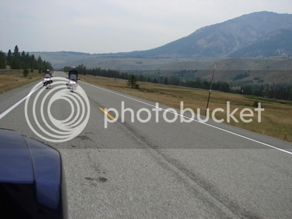
I scooted ahead down the road and got some oncoming action shots.

DSC00296-1.jpg


DSC00297-1.jpg


DSC00298-1.jpg


DSC00299-1.jpg


DSC00300-1.jpg


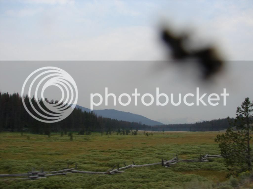
I suppose if I am going to be taking over a thousand pictures on a trip, I should expect a bug to hit the lens from time to time.

DSC00323.jpg


That critter was on the lens for only six shots before I detected the problem. You see, when I see something I find particularly beautiful, I look at the result on the LCD in hopes that I got a good shot. The previous picture was a scene that caught my attention in a big way. I figure the bug adds to it. Maybe I could sell it online as some kind of miraculous vision. Nah. It was just a bug. It DOES kind of look like an angel. No, no. It doesn’t does it?

We were getting closer to the impressive range and I wondered how close we would end up to them.

DSC00327-1.jpg


Fences like these are just cool.

DSC00334.jpg


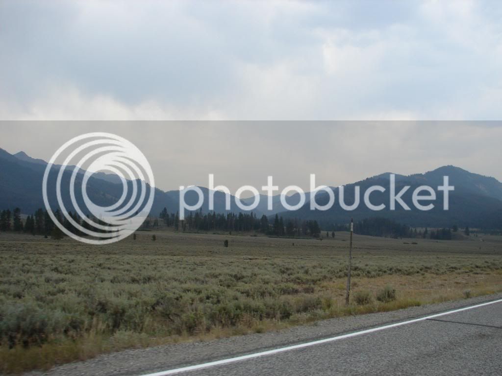
With this photo it suddenly dawned on me how green this place was. We were approaching Stanley and more of the range was being shown to us. These views had me wanting to trade over to the DRZ and then to a backpack and hiking boots.

DSC00338-1.jpg


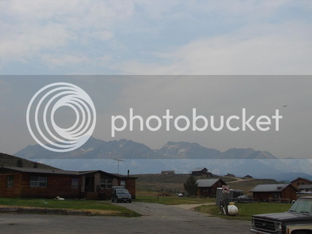
In Stanley, we were closer to the peaks than ever. I suppose I could have rode somewhere to get a clear shot, but I thought that including the few buildings here would give a good impression of the area. This was downtown.

DSC00339-1.jpg


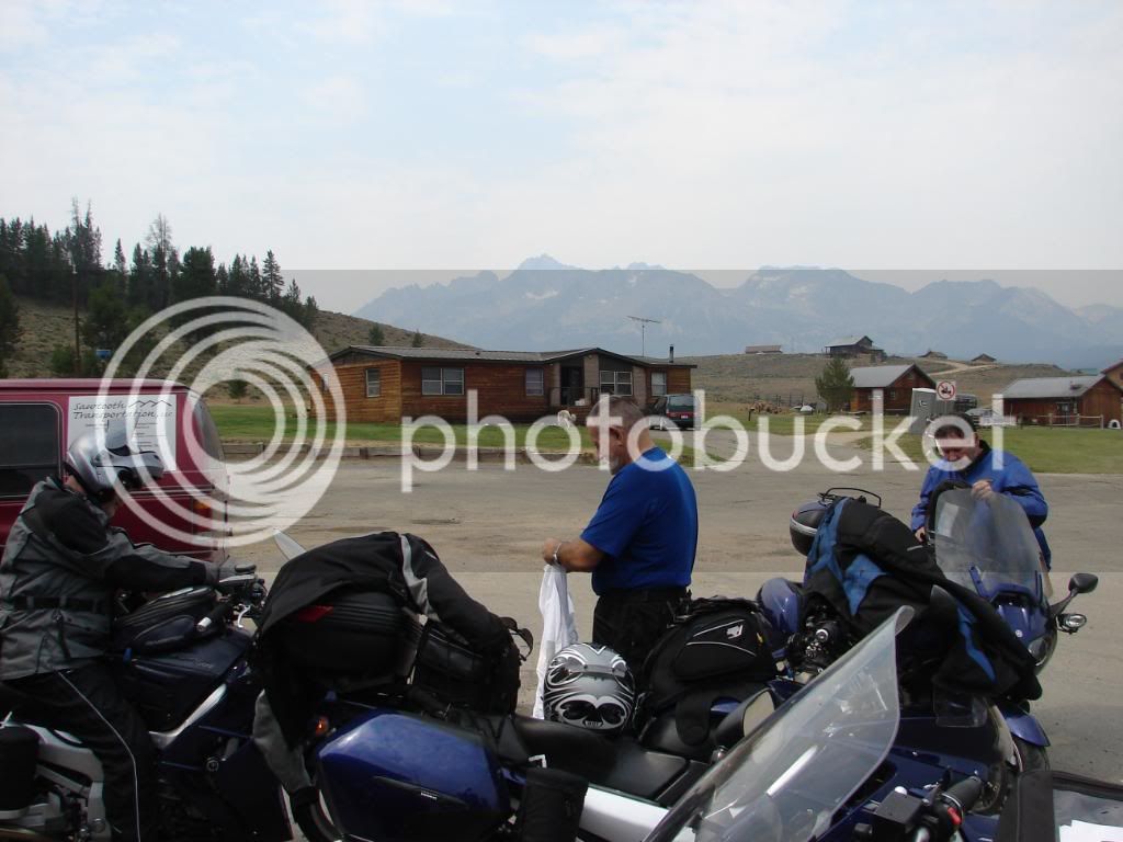
Here we are, just doing normal things in a special place.

DSC00345.jpg


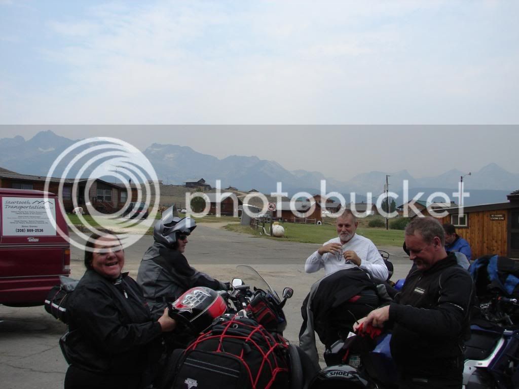
“Smile like you are having fun!”

DSC00346-1.jpg


We took a break here, gassed up and relaxed a bit. It took about three and a half hours to get to Stanley and we were ready for lunch. It was decided that we would ride to Ketchum South on 75 for lunch, then make a call on whether to return back to Stanley to take 75 East to Challis as that section is also considered a scenic byway. The decision was made to split up. Some of us returned for the rest of 75 and the other group continued South and East to the Craters of the Moon National Monument.

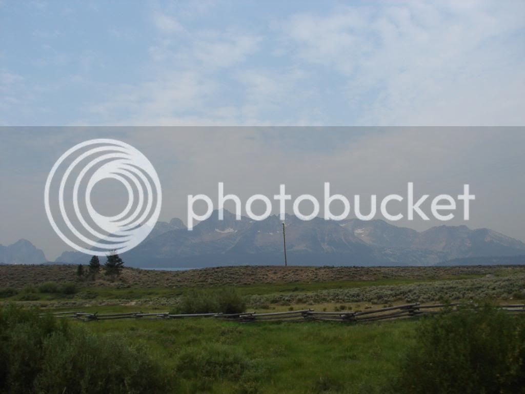
No worries, I’m not skipping the views we got from 75 South from Stanley, because they were the best views of the Sawtooth that we were graced with.

This is 75 just after turning South from Stanley from 21.

DSC00347.jpg


I’m not sure what that pole is; I’ll pretend it is a dead tree and natural. This picture is pretty perfect in every other way.

DSC00348.jpg


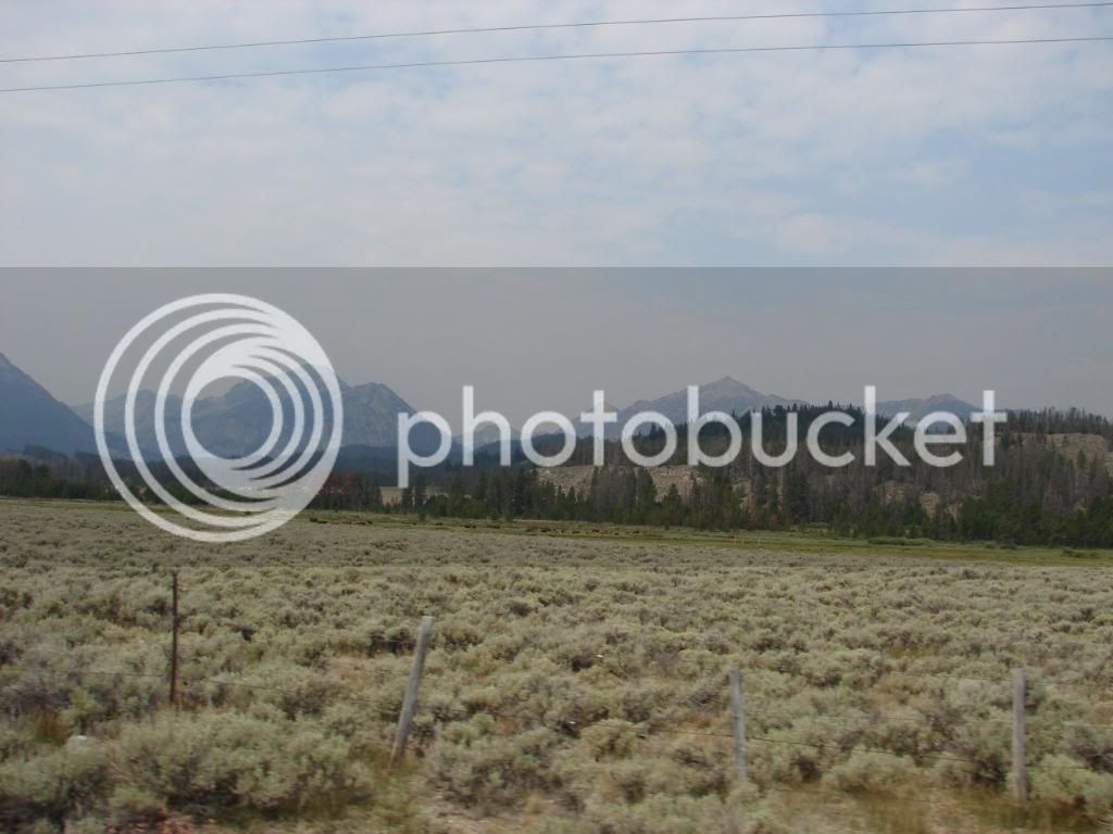
75 South was a set of straights through a very long valley. The ride to Ketchum had very few turns, but the views were so incredible, I sure didn’t have a problem with returning on the same straight road to Stanley for the other part of 75 that we had missed.

DSC00373-1.jpg


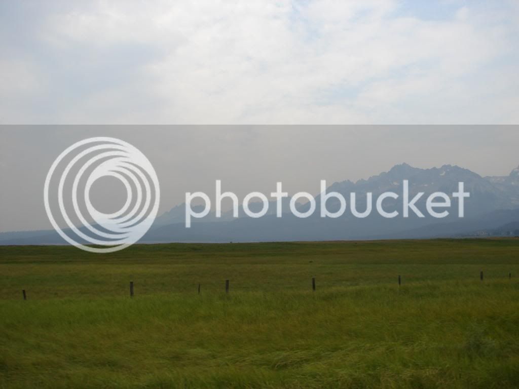
Continuing South on 75 to Ketchum is when you realize why this is called Sawtooth. It is a long and jagged range. Really long. It’s like a saw.

DSC00393-1.jpg


We got to Ketchum and ate at the Smokey Mountain Pizza and Pasta.

https://www.smokymountainpizza.com/news3.html

The service was amateur hour. With a good service crew, things would have been fine. Twenty five minutes into this ordeal I stood up to get the remaining 4 drinks that the waitress forgot about after getting the first four out after a blistering 20 minutes. Then she took our order. Then after 1 hour and 32 minutes, we were served our food. Some of us that is. They comp’ed our drinks. I haven’t had service that bad since I was a minority at a Jamaican Independence Day Festival in an area where I was the only American/English guy around. “Rasta don’t work for no CIA.” At least there, I expected service of that nature. We were in one of Idaho’s best tourist attractions: The Sawtooth and Sun Valley. Oh well.
On the way back to the bikes I did get this nice view and the poor service was soon forgotten for the live in the moment mind set that I was in.

DSC00400.jpg


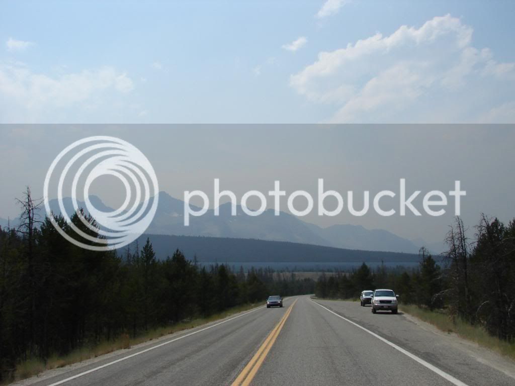
That view was followed by this view going North on 75.

DSC00405.jpg


Going North on 75 was better. The angle of the views was ahead and to the left whereas on the way South, the view always seemed to be over my shoulder.

DSC00408-1.jpg


Sometimes the view was right in front of me.

DSC00409-1.jpg


This place is gorgeous.

DSC00411.jpg


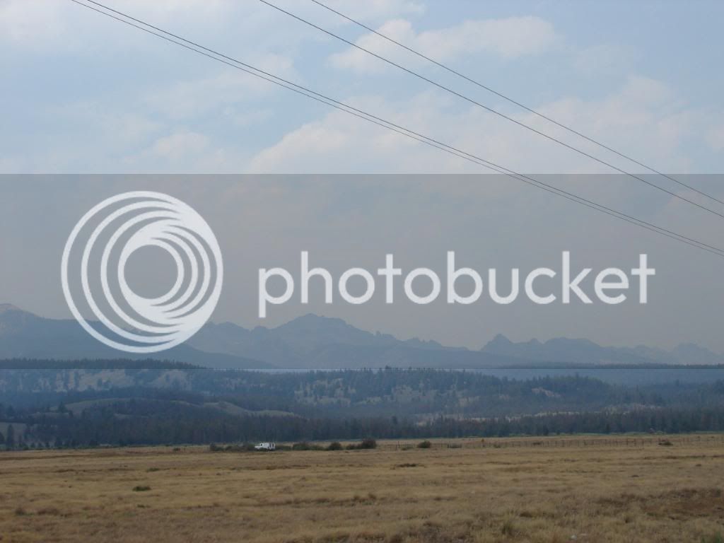
Why do they always put the telephone wires on the scenic side of the road?

DSC00416.jpg


DSC00418.jpg


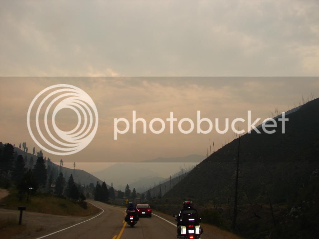
I hadn’t noticed yet, but a change was happening. The haze was burning off and we were getting into a more arid region. The change wasn’t very gradual, but this shot seems to capture the middle ground between lush alpine settings to something entirely different.

DSC00419.jpg


Top