russperry
Well-known member
So piggybacking off of dcarver and fontanaman's lead, I've decided to put up a short ride report from last weekend.
And like Don, I was able to enjoy some beautiful central California sunshine, scenery and great roads.
The plan was to meet my parents and sisters in Morro Bay on Saturday, then travel out to the Carrizo Plain on Sunday to see the wildflowers.
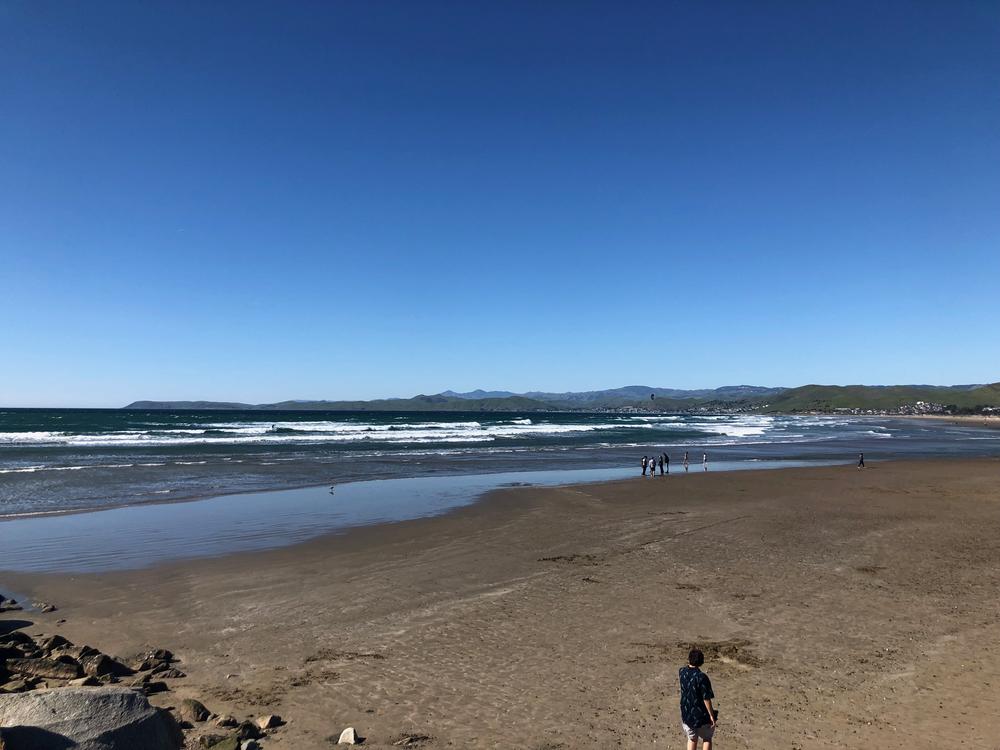
I met my family on Saturday afternoon and we checked into the Inn at Morro Bay - pretty cute place, rooms were small but in pretty good condition, and their restaurant/bar was in a perfect spot overlooking the harbor. Morro Bay still has a very nice, quiet feel to it. There's very little sign of development around the water - its still mainly undeveloped land that surrounds the harbor, and there are unsoiled sand dunes on the ocean side. Morro Rock is an imposing feature that towers over the beach and harbor entrance, but overall it feels like it could still be stuck in the 1950's - I liked it alot!
A few shots....
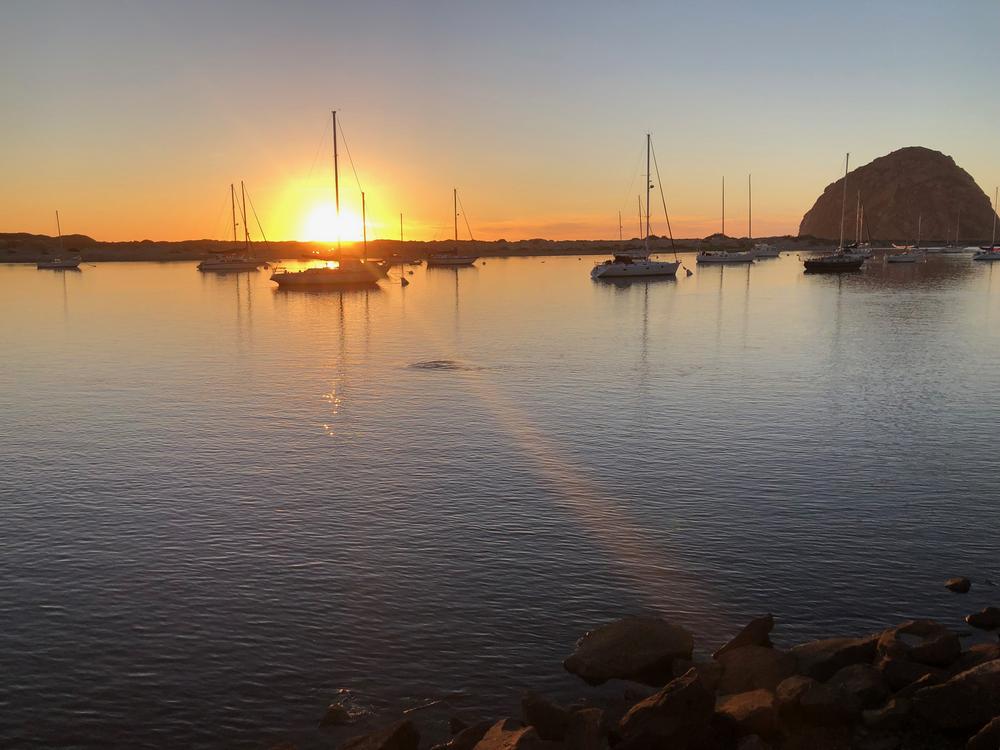
What a beautiful sunset!
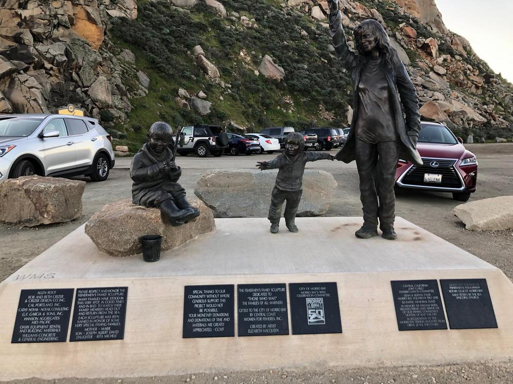
This monument is near the harbor entrance and just under Morro Rock - it's called Those Who Wait, and I think its a touching memorial to those fishermen who left Morro, only to never return

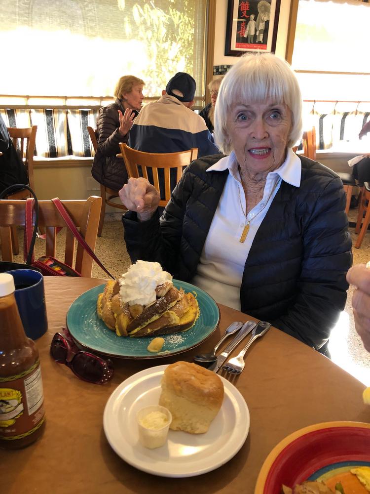
On Sunday morning we went to the Coffee Pot diner - good service, good food, and at least for one of us, a HUGE plate. Here's my dear mother, staring down a huge stack of french toast - and she ate the whole thing!
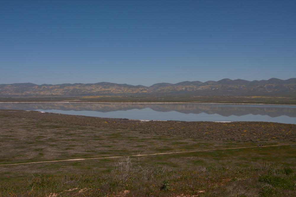
After breakfast I jumped on the FJR, and my family got in the SUV and we decided to meet at the Soda Lake overlook at the Carrizo Plain. The Carrizo Plain is a national monument established in 2001, and is the largest grassland left in California. There have been attempts to drill for oil that have come to naught, and there are huge solar power plants just to the north that supply a large amount of San Luis Obispo county's electricity demand, but it is a very pristine valley that is right now in full bloom.
This photo is from the small hill above the lake, with a nice reflection of the wildflowers on the hills in the eastern distance.
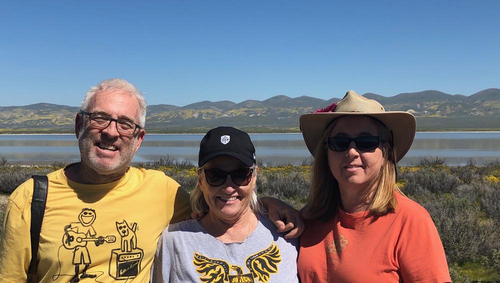
My sisters and I by the lake:
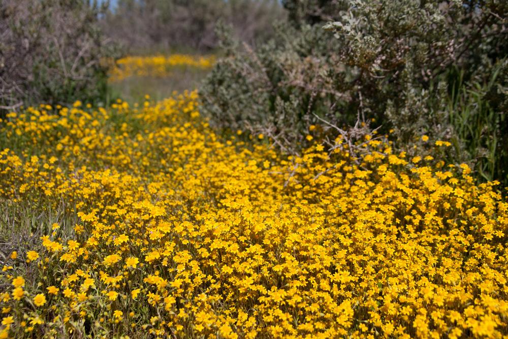
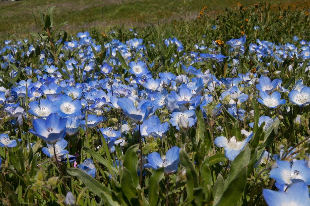
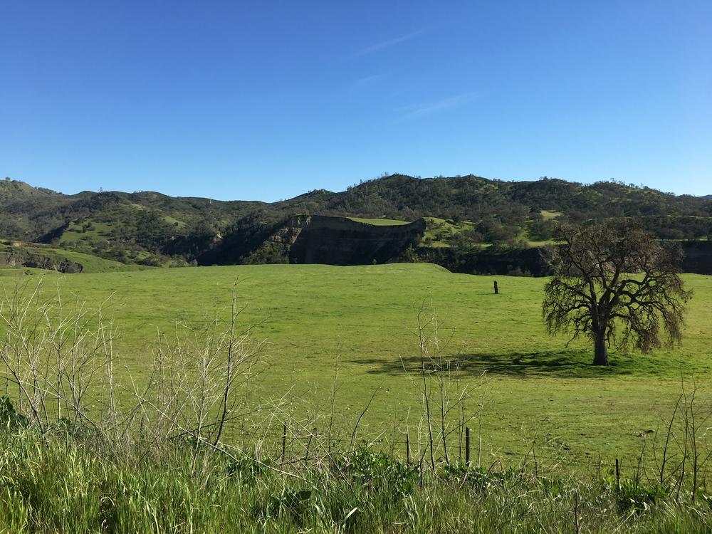
After a couple of hours spent between the lake, the visitor center, and a short lunch of cheese and crackers, it was time to go home. My family headed to SoCal, and I turned north. Instead of taking the highway home I decided to run up from San Miguel, taking Indian Valley Road, Peach Tree Road, and Highway 25 up to Hollister. For those who know, and sadly for those who don't, that is just over 100 miles of beautiful, winding road that has almost zero traffic on it. I didn't stop too often for photos, but I did stop at one point that I've stopped at before. In the middle distance you can see a steep cut in the hills - there was water running through it this time and lush green vegetation all over the plain - later in the year it will be dry and brown but last weekend it was gorgeous! It's called Pancho Rico Creek and its carved a beautiful canyon out of this plateau.
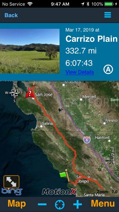
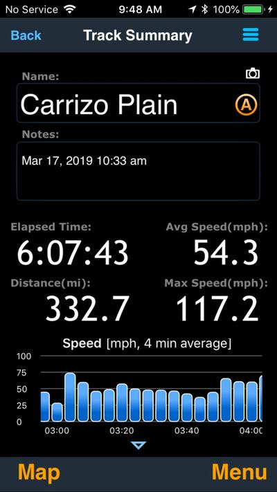
After that it was a quick run up Highway 25 in the fading afternoon. No pictures, but I thought I'd post up the screenshots from Motion X GPS, the app I use on my phone to record my cycle trips. The first one shows the track - 332.7 miles. The second shows some details about the ride - I'm not too sure about the Max Speed data, seems like there might be a Bug - I'm pretty sure I was only 5 over for the whole trip (right Doug?).
And like Don, I was able to enjoy some beautiful central California sunshine, scenery and great roads.
The plan was to meet my parents and sisters in Morro Bay on Saturday, then travel out to the Carrizo Plain on Sunday to see the wildflowers.
I met my family on Saturday afternoon and we checked into the Inn at Morro Bay - pretty cute place, rooms were small but in pretty good condition, and their restaurant/bar was in a perfect spot overlooking the harbor. Morro Bay still has a very nice, quiet feel to it. There's very little sign of development around the water - its still mainly undeveloped land that surrounds the harbor, and there are unsoiled sand dunes on the ocean side. Morro Rock is an imposing feature that towers over the beach and harbor entrance, but overall it feels like it could still be stuck in the 1950's - I liked it alot!
A few shots....

What a beautiful sunset!

This monument is near the harbor entrance and just under Morro Rock - it's called Those Who Wait, and I think its a touching memorial to those fishermen who left Morro, only to never return

On Sunday morning we went to the Coffee Pot diner - good service, good food, and at least for one of us, a HUGE plate. Here's my dear mother, staring down a huge stack of french toast - and she ate the whole thing!

After breakfast I jumped on the FJR, and my family got in the SUV and we decided to meet at the Soda Lake overlook at the Carrizo Plain. The Carrizo Plain is a national monument established in 2001, and is the largest grassland left in California. There have been attempts to drill for oil that have come to naught, and there are huge solar power plants just to the north that supply a large amount of San Luis Obispo county's electricity demand, but it is a very pristine valley that is right now in full bloom.
This photo is from the small hill above the lake, with a nice reflection of the wildflowers on the hills in the eastern distance.

My sisters and I by the lake:


After a couple of hours spent between the lake, the visitor center, and a short lunch of cheese and crackers, it was time to go home. My family headed to SoCal, and I turned north. Instead of taking the highway home I decided to run up from San Miguel, taking Indian Valley Road, Peach Tree Road, and Highway 25 up to Hollister. For those who know, and sadly for those who don't, that is just over 100 miles of beautiful, winding road that has almost zero traffic on it. I didn't stop too often for photos, but I did stop at one point that I've stopped at before. In the middle distance you can see a steep cut in the hills - there was water running through it this time and lush green vegetation all over the plain - later in the year it will be dry and brown but last weekend it was gorgeous! It's called Pancho Rico Creek and its carved a beautiful canyon out of this plateau.

After that it was a quick run up Highway 25 in the fading afternoon. No pictures, but I thought I'd post up the screenshots from Motion X GPS, the app I use on my phone to record my cycle trips. The first one shows the track - 332.7 miles. The second shows some details about the ride - I'm not too sure about the Max Speed data, seems like there might be a Bug - I'm pretty sure I was only 5 over for the whole trip (right Doug?).


