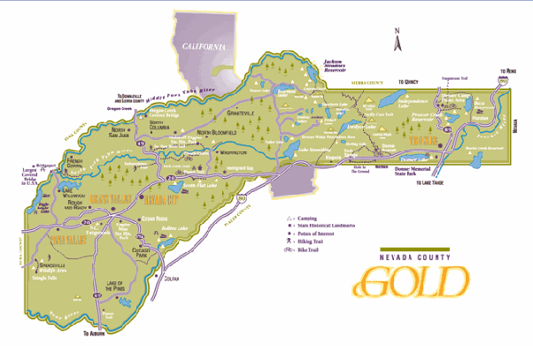
Well, the reason no one has mentioned Foresthill Ridge Road into Norden, per your map, RJ, is that that it's dirt for what -- 15 to 25 miles? -- the kinda challenging dirt that an FJR isn't going to handle without dented tank or F'd up panniers from being dropped AT LEAST once. (Henness Pass is dirt for even longer, for those that don't know.) Last time I rode Foresthill into Norden was on the KLR 650 with OrangevaleFJR on his DRZ 400, mid summer of 2007 (parts of it would be under 10 feet of snow right now). There are substantial stretches in midsummer where it has a foot deep of talcum powder dust, downhill to rocky rivulet crossings, where you gotta go back up. Even on the KLR, it's a challenge to turn at all in that, or to slow enough to make it through the rip rap at the bottom where the road starts uphill again. You pass riders on horseback on that road. O'Vale "biffed it" (his words when he caught up to me going back to find him) in that stuff, and it was all I could do to avoid going down, but was worn out holding those bars steady in nonturnable powdered dirt.
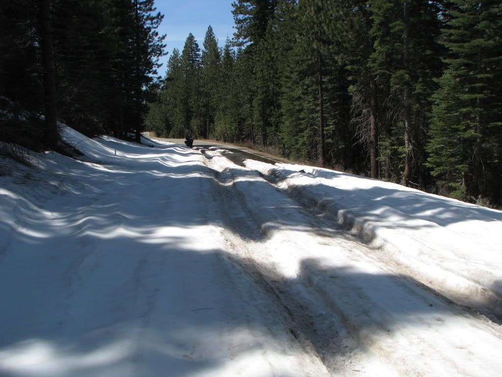
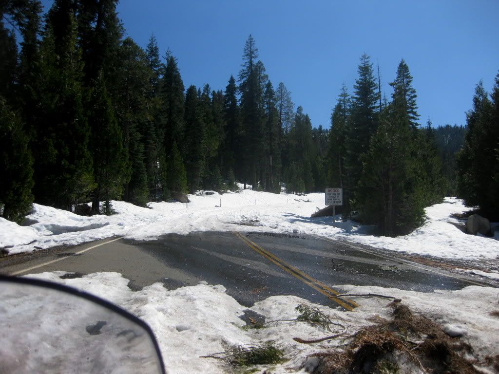
Mosquito Ridge from Foresthill is usually good by around now, but I'm not so certain this year. Looking forward to OM's report. In mid May '08, I encountered snow on Wentworth Springs Rd between where Mosquito Ridge/Eleven Pines Rd tees into Wentworth Springs and where Wentworth Springs tees into Ice House Rd. There was one downhill stretch of 18" deep ruts in a 100 yard snow bank across Wentworth Springs that I slid/rode through, hoping it wasn't impassable ahead. Reason? Because I could make it across going downhill, but I'd never have been able to cross it going uphill if I'd had to turn around. I did get through and all the way to 50 to go over the summit to SLT. That trip, I had taken Wentworth Springs from Georgetown, so I didn't see what Mosquito Ridge was like, but there are stretches of it that might have been obstructed by snow if the snow I encountered on Wentworth was an indication of what existed at similar elevations on Mosquito Ridge.
About 40, though, RJ's right -- there is about a 15 mile stretch between Baxter Grade and Cisco Grove on/off ramps that you have to do on I-80 between Sacramento and Truckee. From Truckee, you can go east either through Glenshire or through Prosser (the latter off 89) to get to the Boca on/off ramp, but then you have to take I-80 east from there again. I'm talking paved roads, that is. There is a way to go from 89 north of Truckee through Dog Valley, but that's gravel and dirt that RJ's probably ridden a bunch of times.
The fun way to stay on pavement in summer all the way to Reno is to take 40 (and its little offshoots and variants) to Truckee, then 267 over the summit to Brockway/Kings Beach (or 89 into Tahoe City), then north and east along North Lake Blvd to Mt. Rose Highway and over it to Reno (or Virginia City).
Funny this thread got posted when it did. A couple hours earlier, I had sent a PM to OM in which I asked if he'd be up for doing this ride in a couple or three weeks. We've been getting accumulations of snow at the Lake (Tahoe) and on Donner Summit as of just a few days ago, and I don't know for sure whether 40 (Donner Pass Rd) is open from Sugar Bowl to Donner Lake yet. By May, we oughta be able to do a ride over it, and I'm still planning on doing that for those that are interested.


