CO,NM,UT,AZ,AR,TN,KY,MS,KS,IN,OH,MO,NV,WV,IL,TX,OK

Yamaha FJR Motorcycle Forum

Help Support Yamaha FJR Motorcycle Forum:

This site may earn a commission from merchant affiliate links, including eBay, Amazon, and others.
Not much happening today. As some of you know, I suffer from severe, nocturnal leg cramps. These are cramps that involve the inner thigh muscles from just above the knee to the groin. They can occur at anytime, but most often at night when I’m asleep. The application of heat helps cure them and sometimes I am able to stretch them out, but the duration can last anywhere from 5 to 30 minutes.

If I were to rate them on a pain scale of 1 – 10, they can go from 5 – 15! My best friends can tell how severe they are by my behavior. One of them observed that, “You can tell the pain is going away when he starts swearing.” My brother, who also has them, calls them the “snarling dogs”, which is pretty much all you can do when one strikes.

I’ve suffered them on and off for more than 30 years. There seems to be no rhyme or reason as to their cause. I’ve tried everything from stretching, to potassium in bananas, to a prescription for quinine sulfate. It’s just one of those things I live with.

Last night I had several bouts of these cramps and was having second thoughts about going for a ride. Back east when I have one on the road, there’s usually a pullout or wide shoulder so I can dismount and walk it off. Out here, driving onto a nonexistent shoulder could result in a major free-fall, which is much worse than the discomfort of a leg cramp. So sometimes it’s best to take a day off and enjoy the local color.

It’s Saturday morning and while walking around the block, Lee and I see tents and tables being set up on the next block. We cross the street and see that it’s a local market fair. We decide to have breakfast and then stroll along the street checking out the local wares and produce.

If it were a contest, I would award the crafts and trades people the winners. Producers would come in a very close second. There are artisans working their trade in bronze, pewter, glass, silver, turquoise, wood, silk, and wool. The producers offer, fruits, vegetables, cheese, wine, baked goods and honey.

file-2.jpg


file-6.jpg


file-3.jpg


file-4.jpg


file-5.jpg


The aroma sets off our salivary glands, but our stomachs appeal on the grounds that we have already eaten breakfast at the condo. That does not stop us from sampling some of the goodies. Lee and I are taking with a dark, natural honey. Its flavor is rich and thick. We’d love to buy some, but most of the containers are glass and therefore fragile. When the vendor points out that it can be purchased is reusable plastic tubes we are again tempted, but reconsider a purchase with the simple question, “What would we use it on while travelling?”

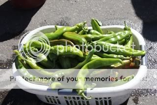
If I were cooking a pot of chili tonight I would most certainly buy some fresh, roasted peppers. I hear the vendor telling a potential customer that the peppers he is considering are “…very serious and should be used sparingly.” I subconsciously reach for a package of Maalox.

file-7.jpg


file-8.jpg


We walk back to the Condo and look up at a balcony with petunias hanging from flower baskets. Near the entrance to the condo I see a small object with fast, fluttering wings working some of the petunias. It’s either a hummingbird or a sphinx moth. Closer inspection proves it to be the latter and get to try out the new camera on a small, fast-moving object. A faster shutter speed would have helped, but I can’t complain. The learning curve for a complex, digital SLR can sometimes look like a straight line.

file-9.jpg


Back in the condo I check some routes to Leadville and the Black Canyon of the Gunnison. Sitting and reading I get another leg cramp. It takes 20 minutes to walk it off. I decide to take a nap. Lee ponders a solo ride and then reconsiders. Sometimes a day off the bike can be a pretty good thing.

A few hours later I get a “double header”, both legs. A hot shower helps and I’m damn glad it didn’t happen while riding.

Well, I see by the clock on the clubhouse wall that it’s dinnertime. You folks take care and be safe. I hope you’re enjoying the dispatches.

 
Have to say I am having a BLAST!!! What sensory overload this causes. It is truly amazing.

Here is what you guys are waiting for Chris and his unique style of writing and great perspective on how this is all happening. Also please note this is a Journal so what you read is what is being sent to like 40 friends and family of Chris's and a few of mine.

Day 8 Black Canyon Of The Gunnison:

Dinner last night was at Johnny McGuire's, again. I go for a hot turkey sandwich with bacon and barbecue sauce. It's called a "Skinny Trucker." Is that an oxymoron?

IMG_0477.jpg


IMG_0478.jpg


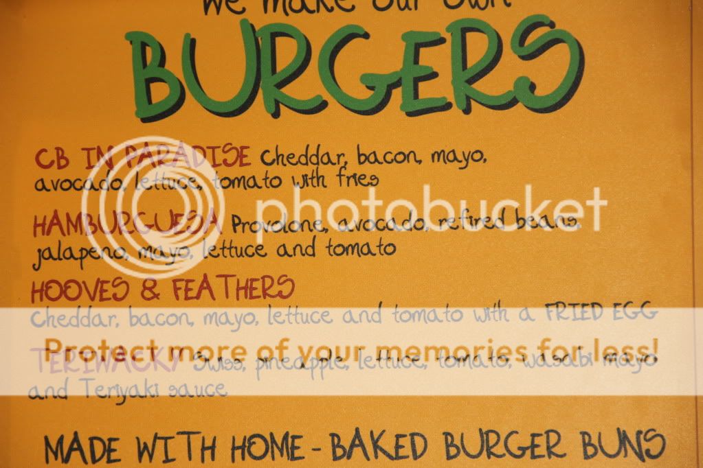
Lee opts for the Hooved and Feathered Burger.

IMG_0484.jpg


Behind the counter is a stack of stickers with the eatery's slogan, "Health Food Still Sucks." They now adorns the inside of our top case lids.

After a breakfast we mount up and head west on 82 out of Aspen. It's just after 9 AM. Our plan is to ride to Montrose and then head east to the Black Canyon of the Gunnison National Park. MapQuest says it's about 136 miles one-way, but with lots of photo ops it's going to be a long day.

Heading south from Carbondale we climb over McClure's Pass (8755). Halfway up we stop for the obligatory pictures. Looking around I keep repeating a phrase from my best friend Ray, "Here we are. There we were. And there we're going to be. Standing near the bikes we watch a bicyclist descend. He's in a full tuck position: chin on the handle bars, elbows tucked in and pedals parallel to the road. As he passes he lets out a "Yeehaw!" Lee and I cheer him on. My estimate is at least 50 mph on tires less than an inch wide, a bike weighing just over 20 pounds and brakes pads that wouldn't have enough rubber in them to make a dozen pencil erasers. Buena suerte, amigo!

Unfortunately I've parked the bike in such a manner that it leans so far to the left that I can't get the bike upright. I have the leg muscles, but not the reach. Succh is life when you're "tall in the saddle" but walking on short legs. Lee comes to the rescue. I'm upright, he remounts and we're off.

IMG_0493.jpg


IMG_0490.jpg


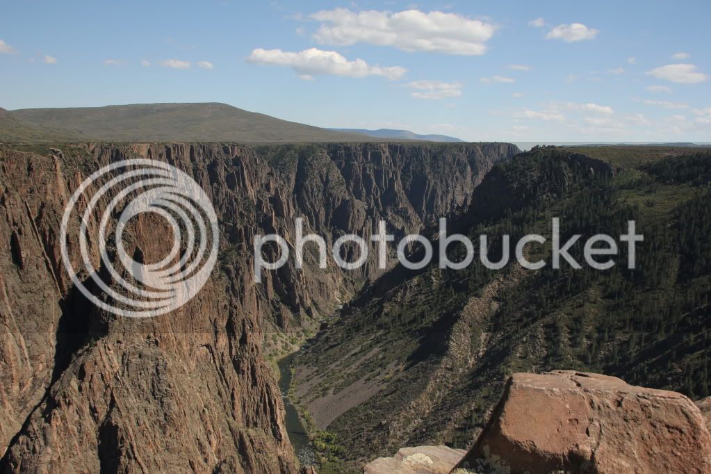
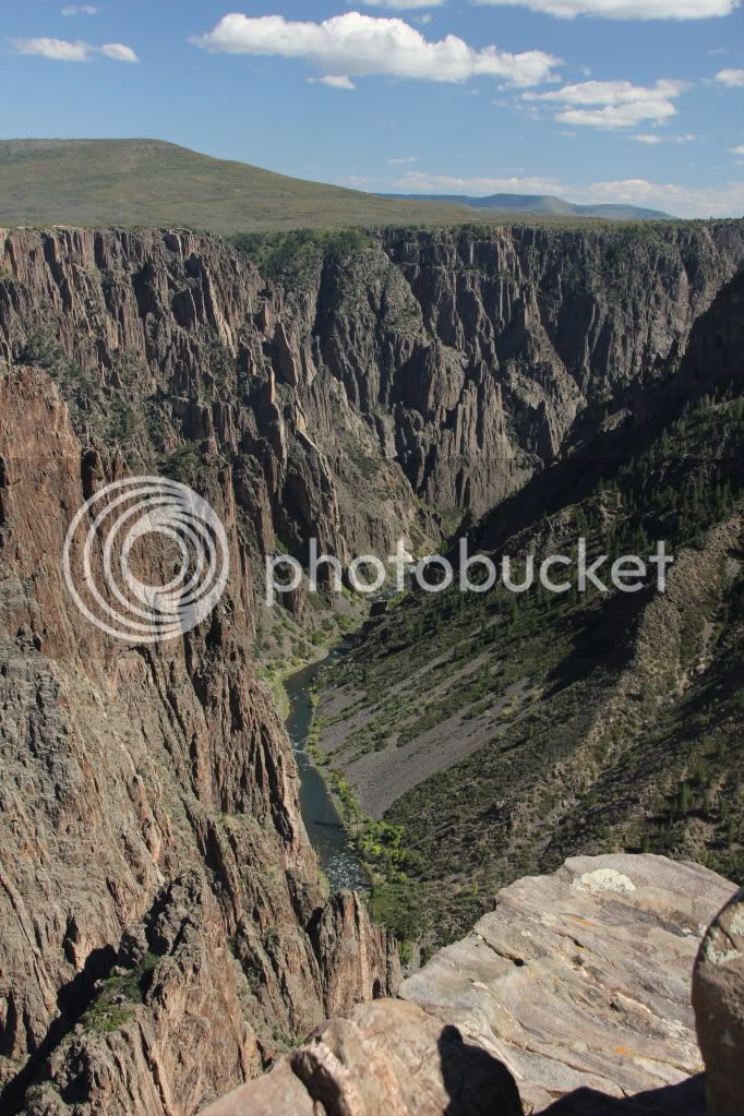
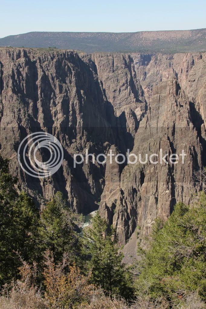
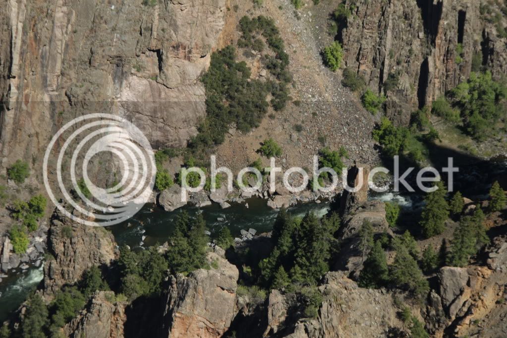
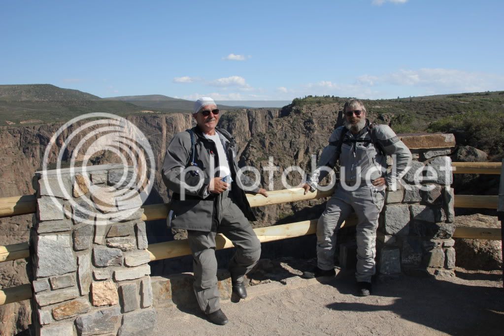
In Montrose we pick up U.S. 50 east. This is the same highway we used crossing Missouri. There's little traffic on the highway and soon we are climbing up the park road to the western rim of the canyon. If you were to take a wide angle picture of the grand canyon and then compress it to a very narrow file, you now have an idea of the Black Canyon. Whether it's named for the dark stone of the canyon or the fact that very little sunlight reaches the bottom is a toss-up. There are numerous pullouts and we stop at almost every one to stand and admire this geologic wonder. There are few tourists and when the wind dies down, we can here the roar of the river as it rushes downstream working its way deeper and deeper into the earth's crust. It has taken the river millions and millions of years to accomplish this. As the folks at Despair.com say, "We humans have about 70 years to make our marks."

At the visitor's center we stimulate the Park's economy by buying the usual souvenirs. Lee and I collect the pins. He wears his on a hat and I place mine on the riding jackets. By the end of this trip neither of us is going to make through any TSA airport security checkpoint without the alarms going off like a high voltage pinball machine.

A young, and I might add, very attractive ranger is behind the counter. I can't help but notice her name tag, "Jane Mansfield." I ask her if she gets a lot of comments about her name. She says yes, but adds that she has no desire to end up like the real Jayne Mansfield.

When I ask her about other parks where she's worked she mentions that this is her first real appointment. She has applied to 57 other parks, but only received two interviews. I'm sure there's a lot of competition out there to get a posting at Glacier, Yellowstone or the Grand Canyon.

IMG_0597.jpg


IMG_0594.jpg


IMG_0666.jpg


IMG_0535.jpg


IMG_0553.jpg


This is a narrow road with lots of curves and no guardrails or barriers. To paraphrase advice to hikers going into the Grand Canyon. "If you're moving on your bike, don't look at the scenery. If you're looking at the scenery, don't be moving on your bike." This does not apply to those riding pillion. I do miss not having my wife behind me taking hundreds of pictures as we ride through some fantastic scenery.

The first time she did this was four years ago when we were in Utah. At the end of the ride she apologized for not taking many pictures. I downloaded over 300 images that evening. Granted I have the camera set to bracket and take three shots at a time, that was still more than 100 images to exam and cull. Most of them were pretty damn good!

But it isn't just the scenic views that make the journey worthwhile, it's also the people you meet. A couple from Winnipeg, Manitoba are down for a tour of Colorado. They ask if I've been there. Back in 1981, my wife and I took our honeymoon by rail from Toronto to Vancouver. There was a five hour stop in Winnipeg and we walked through town visiting the Hudson Bay store and having lunch at the Fort Garry Hotel. Ironic, because the gentleman works for Canadian Rail.

We reach the end of the road and turn around. As always there's just one more scenic overlook where we have to stop and walk out to the overlook. Lee and I wonder how many people realize what motorcycle photography is all about. It isn't a matter of hopping out of your car with camera in hand, taking the usual postcard photos and jumping back in the car while the driver keeps the engine running. Instead we have to find a somewhat level parking space, side stands deployed, helmets offf, gloves off, remove camera from top case and then walk over to take pictures. To move on, just reverse the procedure.

At this stop we encounter a middle-aged couple with their daughter who has just started teaching at a Christian middle school. While Lee chats with the parents I spend a considerable amount of time talking with the young lady about education. She's just starting her career and I've just retired from mine. It's interesting to compare notes. There I was, here she is and there's she's going to be. She's king enough to take our picture and even does a retake when I point out that her first picture had cut us off at the knees.

IMG_0701.jpg


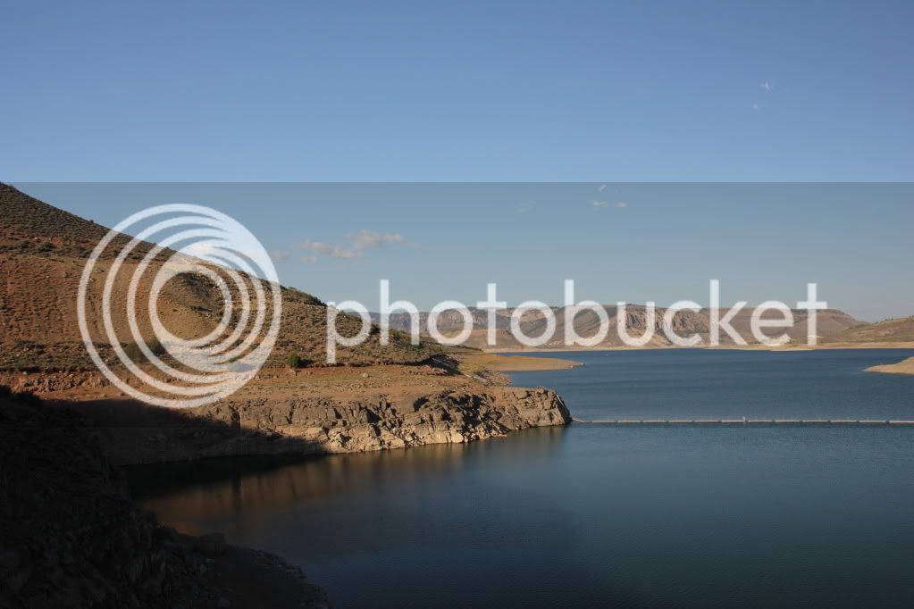
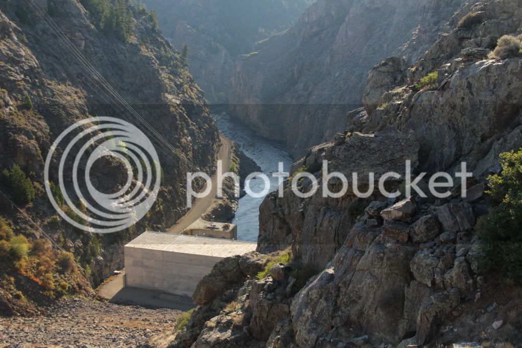
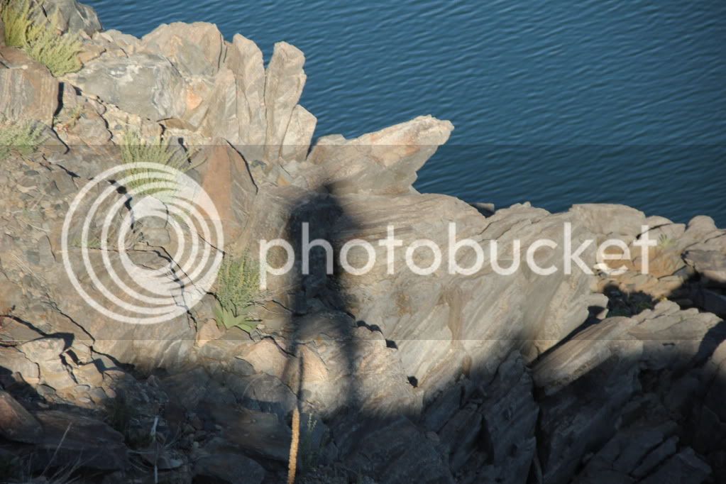
Checking the map we decide to continue west and then turn north up route 92, which follows the eastern rim of the Canyon until it reconnects with 133 in Hotchkiss. Just past the junction of U.S. 50 and 92 we stop at the Blue Mesa Dam. This is where the canyon begins. Of course we stop for pictures. If you'll observe the picture of me and my shadow, you' deduce that by the length of the shadow, it's getting late. It is and we still have at least three more hours of riding to get back to Aspen.

IMG_0719.jpg


IMG_0732.jpg


IMG_0740.jpg


When we arrived there was a large number of Harley riders from Texas out on a four day jaunt. In a great roar they've already left. Since they're heading in the same direction as us, we decide to give them some lead time. We have nothing against Harley's or their riders, but the noise is another matter.

As we wait another rider enters the parking lot. A middle aged man on a BMW 650 GS. He pulls up next to us and asks where the road goes. I tell him it goes to Hotchkiss. If he wants to ride the east rim road, which isn't paved, he has the perfect bike for it. He asks where do you get to the Park entrance. I tell him to turn around and then turn right onto 50. That will take him to the Park. A little further and he'll get to Montrose where he's sure to find a motel. He looks puzzled and then points back up 92. He wants to know where it goes. Again I tell him it'll go to Hotchkiss.He then asks how to get to the park. I tell him again. Once more he points up to 92 and asks where it goes. I ask if he has a map. He does and pulls a Butler Road Map out of his tank bag. I show him where he is and where 92 and 50 will take him. I'm not too sure he fully understands, but he folds the map, puts it back in the tank bag, thanks me and rides off toward the junction with route 50. Wherever he wanted to go, I hope he got there.

The ride north is scenic with climbs, bends, turns and the occasional wildlife on the shoulder just to keep us on our toes. It's getting dark, the temperature is slowly falling and we need fuel for us and our bikes. We get to Hotchkiss and gamble that there's a gast station to the right. There isn't. We turn around and go back into town and find an open station. Lee isn't too happy when the pump he pulls up to only has diesel. We top off the tanks make a few calls to loved ones and ride on.

Our daily routine is to call home at the end of each day so no one gets concerned. Realizing that there's a two hour time difference it's important to call earlier. If we wait until we're back in Aspen it'll be 10 PM, but midnight eastern and we both know some people who will have lit up the sweat pumps wondering why it's so late and we haven't called.

The climb back up McClure Pass is in the dark. We ride through a narrow valley with several large coal mines. The towers and conveyor belts are light like strings of Christmas lights. Earlier when we passed through we saw two long coal trains making their way up the mountain to be loaded. At night, things are pretty quiet.

On the final approach to the summit we end up behind a large, white pick-up truck with extension ladders. Although I've been riding at the posted limit, he's going even slower. Finally he reaches a pullout and moves over to let us pass. I beep the horn as we pass. This isn't the usual friendly "beep-beep" one expects from a motorcycle. I've replaced the horn which sounds more like an over-sized Cadillac being pissed off at the world. I hope I haven't given the wrong impression.

We're nearing the home stretch and stop in Carbondale at a 7-11 for something to eat. At this point I believe the south end of a northbound skunk would have looked pretty appealing. We're in luck, they're out of skunk, but the hot dogs are pretty tasty. As we eat outside the white pick up pulls into the lot. I walk over to thank the driver as his wife goes into the store. He remembers us passing him and mentions that my horn didn't bother him at all. He then tells Lee and me to grab a couple of peaches from a basket in the bed of the truck. He'd offer to get them himself, but he has a small dog in his lap. Lee and I look into the bed of the truck. There are quite a few boxes and crates filled with peaches and other produce. We select two large peaches and thank the driver as his wife return and gets into the truck. When I ask how much further he has to go he says, "30 seconds or so." I tell him we have at least that many miles.

We arrive at the condo at 10 PM. We've ridden close to 350 miles in 12.5 hours. It's been a long day, not in miles, but in time. In time I will look back at these images and recall the sights, sounds and smells of past journeys. Most of all I will remember the people we've met and what I've leaned from them. They've written their lives in my memories. What have we written in theirs?

Tomorrow we saddle up and ride to Moab, Utah. I realize these postings are now a day behind, but I'll try to catch up.

 
Last edited by a moderator:
Aspen to Moab via the Colorado National Monument

A leisurely ride is in store for us today. We take I-70 to Grand Junction, deviate into the Colorado National Monument, return to I-70, exit onto Route 128, The Colorado River route and end up just north of Moab, our final destination.

We leave the high mountain pines of central Colorado and work our way west into the high desert plateau. To reach this plateau means a journey through the Colorado National Monument. For you inquisitive types, an act by the President creates a National Monument. It takes an act of Congress to create a National Park. The Preservation and Antiquities Act was passed in 1906 and I can actually thank those members of congress for having done something right. Unfortunately, those members of that legislative assembly are now long and gone, but we can still revel in what they passed.

Sec. 2. That the President of the United States is hereby authorized, in his discretion, to declare by public proclamation historic landmarks, historic and prehistoric structures, and other objects of historic or scientific interest that are situated upon the lands owned or controlled by the Government of the United States to be national monuments, and may reserve as a part thereof parcels of land, the limits of which in all cases shall be confined to the smallest area compatible with proper care and management of the objects to be protected

“We need wilderness whether or not we ever set foot in it.”

Edward Abbey

We stop for gas and lunch in Grand Junction before riding up to the Monument. I have placed my senior pass under the map case on my tank bag. My hope is that the entrance ranger will see it and let me through without any delay. We are not so lucky. It appears that some people are using these passes in a fraudulent manner thereby requiring the ranger to ask for identification. There’s nothing better than stopping a motorcycle, putting down the side stand and struggling to extricate my wallet and license from my riding pants. The ranger apologizes but is quite firm in her directive.

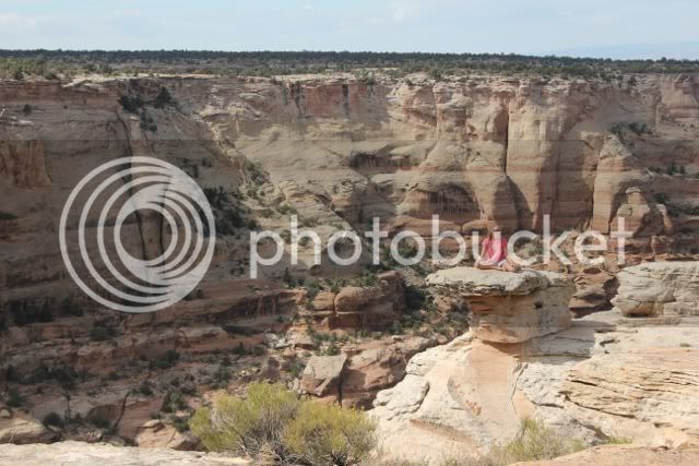
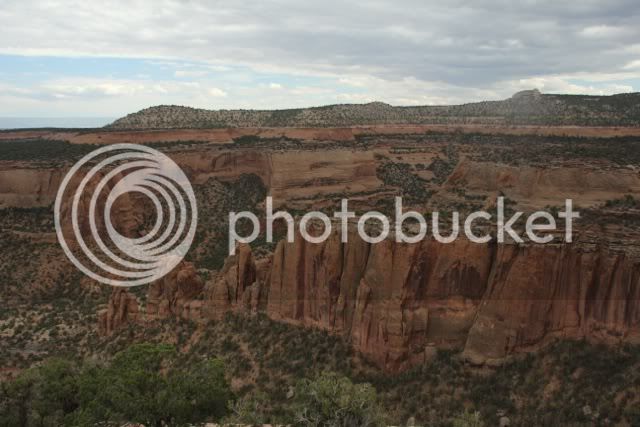
We pass through the gate and head up the road, which twists and winds giving us a chance to look east at the city and acknowledge how much elevation we are gaining. But the real beauty is looking down into the numerous canyons that make up the monument.

Of course we also take note of the various and sundry tourists bound and determined to thin the human herd and have a chance at being nominated for a Darwin Award. “Okay honey, you’re still too close. Could you scoot back just a few more feet?”

file-2.jpg


file-5.jpg


file-6.jpg


At a scenic overlook I hear a discussion between two men and a young woman. The older of the two men is holding a smart phone, looking at some app and pointing to the east.

“That has to be Morrison.”

“Are you sure? It doesn’t look like Morrison. I thought Morrison was further north.”

I’ve looked at the map and there is no habitation near Grand Junction named Morrison. It isn’t until I hear the words, “Navajo” and “Entrada” that I realize they aren’t tourists looking for a town, they’re geologist looking at the various sedimentary layers in the cliffs. They’re attending a conference in the city and have taken the afternoon off. Gee! Talk about a busman’s holiday?

Their discussion gets quite lively until I interrupt by asking, “Excuse me but what happens when the three of you discuss the Great Unconformity?” This is a geologic curiosity where one or more layers aren’t where they should be. Imagine wedding cakes of six tiers numbered 1 through 6 from bottom to top with 1 being the oldest layer. Layer 1 was baked at 1 PM and layer 6 at 6 PM. All wedding cakes are like this and have always been this way until one day you dissect a cake and find layers 1, 2, 5 and 6. Where are layers 3 and 4? In this situation we find layers of stone measuring millions of years in age that aren’t where they should be. How is it possible that in particular area no sediment was being formed and pressed into stone when other areas have all their layers as they are supposed to be?

I’m asked if I, too, am a geologist. I reply that I’m pretty much a Jeffersonian who tries to encompass most areas of knowledge. They look askance until I mention that I’ve read John McPhee’s “Basin and Range” along with several of Simon Winchester’s books on the San Francisco Earthquake of 1906 and the eruption of Krakatoa. This seems to mollify their attitude.

When they mention they’re working for the exploration of oil and natural gas deposits, I’m inclined to say they’d be better off designing vehicles that get better mileage or can run on non-fossil fuels, but discretion is the better part of valor and I’m outnumbered 3 to 1. If my two best friends, Ray and Brad, were with me it would be a pretty good debate. But they aren’t with me so I make a discretionary withdrawal from the geologists. But not before I ask one of them what’s the mnemonic device for the layers at the Grand Canyon. One can’t remember and the other two are unaware that there is one. It’s “Know The Canyon’s History Study Rocks Made By Time. (Kaibab, Toroweap, Canyon, Hermit, Supai, Redwall, Muav, Bright Angel and Tapeats.) A liberal arts education does have its advantages.

All too soon we must move on, Moab awaits and there are dark, ominous clouds on the horizon.

file-3.jpg


file.jpg


file-1.jpg


Route 128 is a must do for any motorist will to take the time to meander along the fledgling Colorado River as it gnaws its way down through the Utahan layers of sandstone. At first the road drops down the slope of the high desert plateau and then gradual drops lower as the sides of the valley come close and closer and deeper and deeper until finally it’s no longer a valley, but a canyon.

To our right the rivers winds its way over narrow shallows and past mudflats thick with the shrubs of the desert. A heron patiently stands one-legged on a mud flat as people pass by on paddleboards. These are pretty much surfboards where the paddler stands and propels forward by means of a long handled paddle. They look as though they’re having fun. The heron, on the other hand, is having no luck.

Nearing the end of this route there are numerous campsites between the road and riverbanks. We can see the flicker of campfires and smell the scented smoke or pine and juniper as we ride by. We should stop for pictures, but it’s getting dark. We still need to check in, unpack and look for food. Yes, we are two-wheeled hunters and gatherers.

It doesn’t take us long to check in and unload. Then it’s back on the bikes and into town for dinner at the Moab Brewery. My wife and I ate there several years ago and recalled the atmosphere as being congenial, outdoorsy and the food was quite tasty. The beer’s pretty good, too.

Lee chooses fish tacos and I go for the chicken breast glazed in honey and covered with almond slivers. The meals are good, filling and leave us with just enough energy to ride back to our primitive cabin and sleep.

I hope this finds all of you fit and well.

Take care,

Chris

 
I first visited Arches in 1978. My best friend Ray and I had planned this trip for several months. This was before computers and the Internet so our communications consisted of actual letters and long distance phone calls. At the time I was attending the Capital campus of Penn State University working on my bachelor’s degree. It was here that I met a young lady named Ann. We began dating and before long we were going, as people sometimes say, “Steady.” When she heard about my proposed trip out west with Ray she asked if she could come along. I was a bit hesitant due to some uncertainty about her camping background and ability to endure long trips in a car. When she volunteered the use of her brand, new Volkswagen, champagne-edition Rabbit. Well, that was a no-brainer.

I called Ray and explained to him the new situation. “Does she understand our rules of travelling? We stop for gas and bodily functions only until we get to our campsite. There will be no whining, complaining, etc. We will be camping, which means a trip to the bathroom will require a flashlight and foot wear.”

I told him that she had done some family camping in her past and was quite willing to follow the established protocol of travelling with the two of us.

“Then it’s a done deal.” He said.

We drove out to Colorado, visited the Great Sand Dunes, and rode the Cumbres & Toltec and Durango & Silverton railroads. From Durango we drove into Utah and Arches National Park. We camped at the Slickrock RV campground in a site just big enough for the car and two tents. A stockade fence and a cornfield bordered our site. Somewhere in Ray’s archives, he’s a professional photographer, there’s a B&W picture of Ann sitting on my knee.

We spent several days visiting Arches. One morning we awoke early and drove into the park where Ray cooked breakfast on an old, one-burner Coleman stove. I believe it was Spam, fried eggs and toast. We became desert rats and loved every moment hiking the side trails, taking pictures and enjoying life.

Through all of this Ann never complained or whined. I believe she may have enjoyed the trip more than Ray and I did. Although she never drove, she did play the role of flight attendant by keeping ray and I nourished as we took shared stints behind the wheel.

One memorable moment occurred while I was taking a nap as Ray drove. Ann tapped me on the shoulder and handed me a knit cap to hold.

“What’s this?” I asked.

“I caught a bee in the hat.”

“Is he dead?”

“No. Can’t you let him out the window?”

I damn near threw the whole hat out the window. Being handed a stinging, pissed-off insect upon awakening is as rude and as exciting as it gets sometimes.

Ray flew home from Denver and Ann and I continued the trip home together. Two years later we were married. Ray was my best man. Ann and I have been married for 32 years this past September 13. She’s put up with a lot of crap from me, so maybe that’s why she gave me the green light to spend four weeks with Lee out west.

I dedicate this episode to her. Happy Anniversary Ann!

The skies are grey and overcast when we awake. They are coming from the north and rapidly heading south. I’m betting that they’ll pass by the time we leave for the park. Since it’s just a few miles north of Moab, we figure we can linger and dawdle and then go. My meteorological prognosticatory skills are lacking. The skies don’t clear. Even though we can see patches of blue to the north, they don’t last – sucker holes.

file-8.jpg


We spend our time sitting in the Kermit Chairs that Lee bought for the trip. They are expensive. They look ritzy. They are very, very comfy. It’s interesting to note that the testimonials on these chairs states that they are favorites of BMW motorcyclists. I recently read a copy of the BMW Owners News magazine. One of the articles was a series of pictures submitted by readers. The subject was “campfires.” I studied all of the pictures and could not find a single Kermit chair. I did find the profiles of fourteen presidents in one of them.

We drink coffee and read. Finally, we can procrastinate no longer. We don the gear, saddle up and ride out of the campground. Thirty seconds latter we’re riding through light rain. Damn the bad luck! We should have left sooner. He who hesitates…

The ranger at the gate doesn’t ask for ID. She just looks at our passes and lets us through. Of course our first stop is the visitors center where we buy the pins and souvenir bandanas that have a topographic map of the park on them.

Since the weather is “iffy” we choose the ride the better parts of the park – the Greatest Hits as it were. The skies aren’t being too helpful with photographs, but we muster on.

file-2.jpg


file-1.jpg


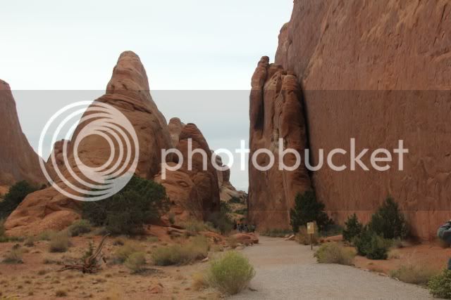
It’s quite easy to let your imagination run wild as you pass by these monuments of sandstone: witches, goblins, elephants, giants and more all populate the landscape. Sigmund Freud would have a field day here.

I am re-reading Edward Abbey’s “Desert Solitaire.” He was a park ranger here in 1967; long before the roads were paved and tourists buy the thousands could drive on asphalt in their self-contained, motor-driven land capsules. True, Lee and I are on motorcycles, but as Colin Fletcher stated, “The less there is between you and the environment, the closer you are to being a part of the environment.”

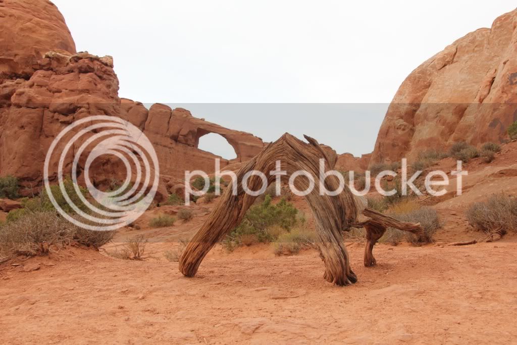
The arches are formed by sandstone fins that have been created by the erosion of the solid block of stone.

file-16.jpg


file-7.jpg


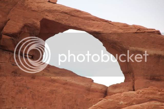
Water can enter into cracks beneath the cap of the fin. When the water freezes it expands and causes pieces of stone to fall out from under the cap. In time, lots and lots of time, you get and arch such as Skyline Arch.

file-6.jpg


If you’re wondering about a natural bridge, those are created by a stream or river working its way through solid rock.

I can’t resist the urge to photograph nature imitating nature. I know I’m not the first, nor will I be the last to do this.

file-11.jpg


To the north, things aren’t getting any better.

file-14.jpg


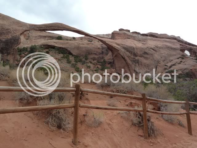
At the terminus of the park road we stop and park the bikes. My back is bothering me so I wait at a picnic table while Lee walks out one of the trails. Although he didn’t know how far he was going to walk, he did take a terrific picture of Landscape Arch.

file-13.jpg


While Lee takes his walk, I wander around engaging other tourists with idle banter and chit chat until they usually exclaim something about an urgent doctor’s appointment or they can hear their mother calling them.

Looking around I see some familiar fins. Back in 1978, Ray, Ann and I scrambled up and over one of these fins. As we approached the bottom of one fin we realized that it ended in a pretty steep fall. However, the fin next to it had a gradual descent to the sand. We traversed from one fin to the other. In the process Ray lost a rather expensive Nikon polarizing filter into the netherworld between the fins. I know it’s still there; now covered in dust and sand. Eons from now, some archeologist will be digging and with soft brush and trowel he will find this filter and wonder what ritual possessed 20th century humans to make offerings of this nature as though it were a coin placed into a vending machine.

file-17.jpg


There’s a young girl at the water station trying to wash a plastic cutting board with her fingertips. Lee has taught me to always have paper towels handy. I do. I walk over and offer some to her. In a foreign accent she asks what are they. I explain, she thanks me and finishes washing the board. I walk over to a nearby picnic table and watch; it’s the sociologist in me.

From a plastic shopping bag she pulls out a bunch of radishes and begins the wash them. When she’s done she comes over to my table and begins to cut them into thick slices. Soon her husband joins her and produces a tub of vegetable spread from another bag. His wife now takes out a loaf of homemade bread and begins to cut thick slices from that.

We begin to chat and I learn that they are from the Czech Republic, but live in Whistler, British Columbia where he works construction for a maintenance company. They offer me a slice of bread with the radishes and the spread as a topping. It’s very good. At this time Lee appears from his trek and joins us. He also enjoys a slice of bread with topping.

We discuss travels, history and politics. They both get excited when I comment on the skills of the Czech hockey players. This they are both from Prague I ask about the statue of Wenceslaus in the square. Veronica wants to know if I’ve been there. I say no, but I’ve seen pictures and it looks like a lovely city. She says it is and I must visit. We continue talking until Lee and I notice it’s time to go, or maybe we heard our mothers calling us. We bid farewell to Thomas and his wife, Veronica, and head back out of the park.

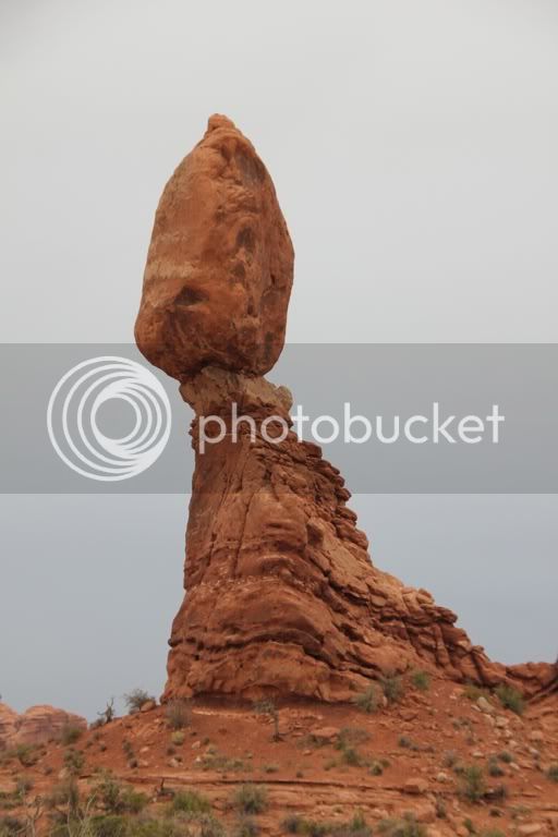
We make one final stop for pictures of the Balancing Rock. In 1978 I asked when it might fall. “Not yet.” It replied. I ask the same question again in 2012 and get the same reply, “Not yet.”

file-12.jpg


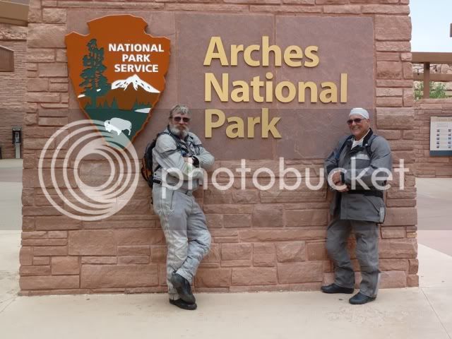
We stop again at the visitors’ center and are entertained by a couple from Wisconsin who take a picture of the two of us in front of the park sign.

file-18.jpg


As the four of us walk into the parking lot we continue talking. They get into a large pickup truck and begin to leave. Suddenly they stop behind our bikes. The husband asks if we are hungry. This is a rhetorical question since most people familiar with motorcyclists know one of two things when they see them on the road: 1, they just ate or 2, they are going to eat.

He gets out of the truck and offers us slices of venison bologna from a large Ziploc bag. It’s delicious. His wife then hands us a bag of venison beefs sticks that have been shrink -wrapped in plastic. They look delicious also. He hands me his business card and writes his email address on the back. They will be added to the journal roster.

We stop in town and have another meal at the Moab Brewery. Lee goes for a variety platter of sausages with sauerkraut. I choose the Texas Tips of beef, which were smoked over a hickory fire. From there it’s a short run back to the campground and a night’s rest. Tomorrow we will work our way north, west and then south to Bryce Valley and the town of Cannonville. Looking at the map I can’t help but wonder, does Utah have more miles of paved roads or dirt roads?

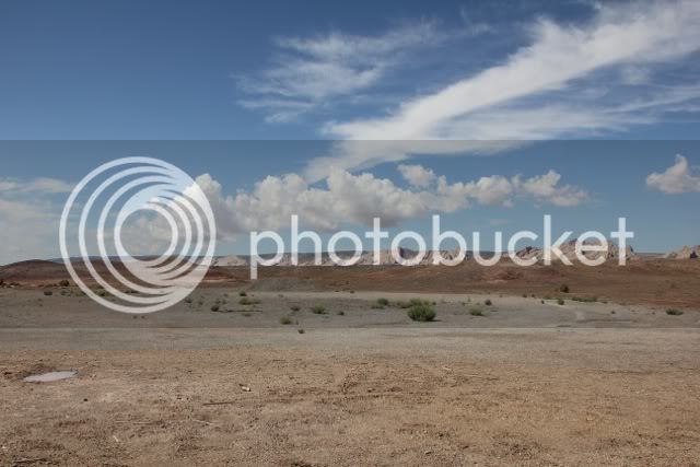
Our route will take us north to I-70, south on 24 and the further south to Bryce on route 12. Heading north from Moab we leave the red sandstone canyons and ride up and into a flat, arid plateau. After 30 some miles of interstate we turn south on Route 24 and pause to take some pictures. In the distance, to the south, we can see the mountains that we will soon be riding into.

file-1.jpg


file.jpg


We are glad to be off the interstate and even happier as we gain elevation and the hot arid blast of wind begins to cool down. We pass Henry Mountain and soon find ourselves winding in and out of narrow canyons. At one point we stop for pictures and a couple walk up to us. They’ve hiked back along the road to where they tell us there are dinosaur bones sticking out of the sandstone. We debate whether or not to walk on. My back doesn’t feel like walking and soon we discard to idea and ride on.

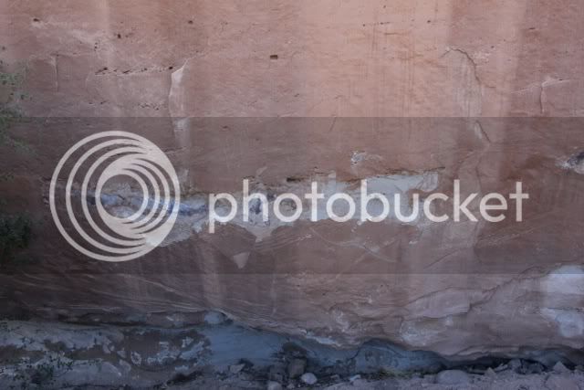
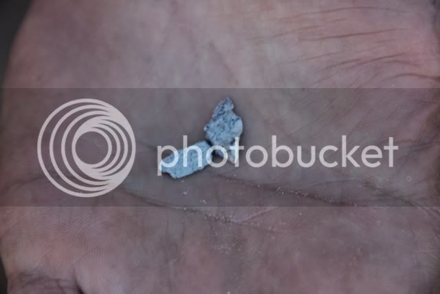
8 miles later we pull over for another scenic shot and Lee says, “Let’s go back and find that dinosaur bone. How often are we ever going to see a dinosaur bone like what they saw?” He has a point. We turn around and ride back to the pull out. The directions are correct. It’s a short walk down from the shoulder of the pavement. Climbing up a small hill we easily find what appears to be a huge leg bone sticking out of the side of a sandstone cliff. It’s evident that some fossil hunters have tried to remove pieces of the bone. Lee finds some fragments on the ground.

file-3.jpg


file-4.jpg


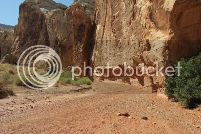
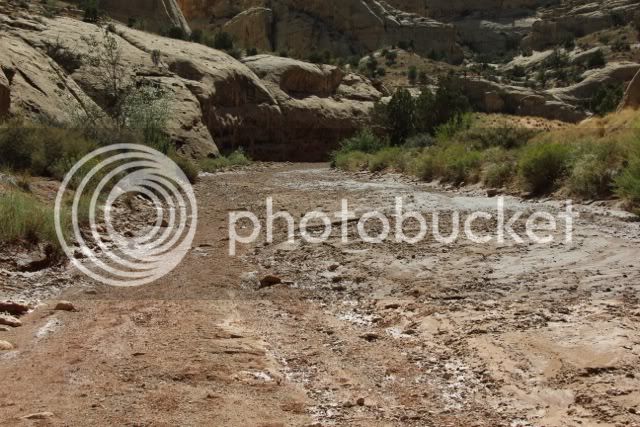
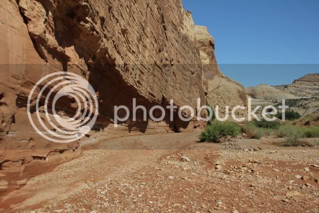
We return and retrace our steps. Another pullout is named “The Great Wash.” Again we park the bikes and walk up the wash for more pictures. Two days ago there was some heavy rain in this area. Evidence of a flash flood is evident everywhere we look: the reeds and grasses along the banks are bent over, trees and branches line the banks or are piled up as natural logjams. But there is no running water, just wet sand, wet mud and a few puddles. Here today and gone today. We did notice that in some places the stream overran its banks and ran across the road leaving patches of sand and mud on the pavement causes us to use extreme caution while riding our fully loaded bikes.

file-5.jpg


file-6.jpg


file-7.jpg


file-8.jpg


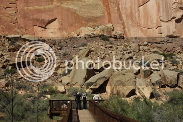
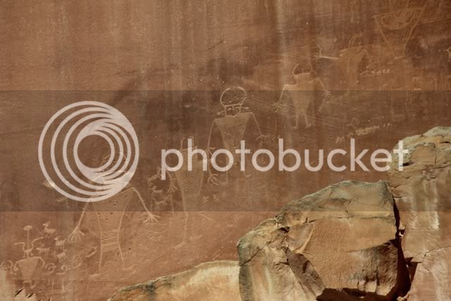
Our final stop of the day is inside the Capital Reef National Park. A large and shaded parking area invites us to stop and see some petroglyphs in a canyon wall. A park ranger explains that the Fremont Indians who lived along the Fremont River created these. We should note that Fremont is what we call this culture. We have no idea how they called themselves. As a side note, petroglyphs are carved and chiseled into stone. Pictographs are painted onto stone. Unfortunately, the Fremont culture left no written history and we can only speculate what these images represent: families, shamans, tribal leaders, alien visitors or even the Simpsons, as one visitor commented. These images are anywhere from 700 to 1300 years old. For all we know they could be early American billboards saying, “Come to the Fremont River. It’s fun for the whole family.”

file-10.jpg


file-12.jpg


Our last leg of the journey is scenic Route 12. It doesn’t get any better than this. The first half of the leg takes us up and over mountains filled with aspen and pine trees. It’s open range country so we occasionally slow down as grazing cattle wander across the road or peacefully graze along the shoulder, indifferent to our passing by. The last half of the leg is up and over the Escalante Staircase. We would stop for pictures, but it’s getting late and the cabin at Cannonville is calling. Besides, we will retrace our steps tomorrow on bikes without gear allowing us plenty of time to stop, gawk and see how many large file images we can load onto the camera’s memory card.

Willie Nelson is singing in our ears, “On the Road Again.”

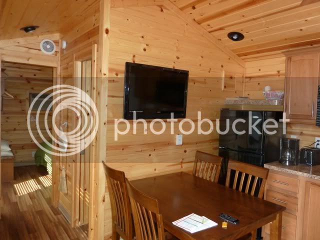
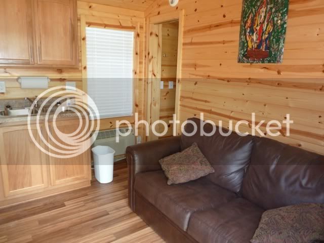
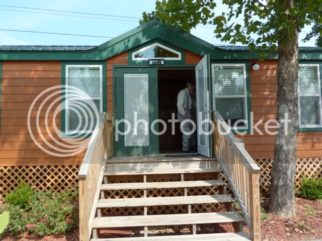
Our Deluxe Cabin at the KOA is quite Deluxe: two bedrooms a kitchen with sink, two burner stove top, refrigerator, cupboards, dishes, pots and pans. There is a half bath with sink, toilet and shower stall. At each end of the cabin is a large bedroom with a queen-sized mattress pad. Campers are advised to bring their own linens. What this cabin lacks is a steady and continuous source of electricity. There’s no power in the bathroom. A quick walk around outside and we find the electric panel. One of the breakers has been tripped. We reset it and the power’s on. While sitting at the kitchen table enjoying a cold beverage (bourbon on the rocks) the lights go out in the kitchen. Another trip outside and another reset. We walk up to the office to register a complaint. We’re told that maintenance will take care of it tomorrow morning, first thing.

Wi-Fi connection is slow. It’s quite possible that several new arches will have been created at Arches NP while we wait for email to load. Meanwhile, erosion has uncovered the entire skeleton of the dinosaur bone that we saw yesterday. By this time Lee and I have both become extinct while our laptops display a whirling pinwheel and a spinning hourglass telling someone that the website is still loading. But we are not slaves to technology. Creature comforts, yes!

In the morning we wake up and ride Route 12 back up into the mountains. This is a popular route as evidenced by the numerous motorcycles we pass or pass us while we stop and enjoy the views.

file-26.jpg


At one vista a young rider on a BMW R1200GS joins us. To those of you not familiar with the makes and models of motorcycles, imagine a two-wheeled SUV, built on the concept of the old Land Rovers from the African plains and savannahs. His name is Paul and he’s from Poland, currently living in Charlotte, North Carolina where he works as a commercial pilot of United. He is heading back east after riding out to California and coming back by way of Sherman Pass and Death Valley. He shows us some pictures. Mentally, Lee and I add that destination to our bucket list.

file-27.jpg


file-28.jpg


file-29.jpg


file-30.jpg


There is a major curve as we near the summit. A large pullout is there for tourists to stop and look back on the road they have just ascended or are about to descend. When I was here in 2008, the pullout was dirt, sand and gravel; today it’s paved.

file-32.jpg


file-33.jpg


file-35.jpg


file-34.jpg


We take numerous pictures and as Lee takes a stroll I strike up a conversation with a couple from London. I ask if they’re refugees from the Royal wedding, the queen’s Jubilee and the Olympics. They laugh and say, ”No, we were there for everything.” In fact, they lived within walking distance of the venue where the rowing events took place.

Our final stop on today’s ride is a long narrow stretch of highway with no shoulders and a steep drop off on either side. I have heard it called “The Devil’s Backbone.” It is no for the faint of heart. This could be confusing because earlier we passed a sign for “Hell’s Backbone”, which is narrow, dirt and gravel road that heads up into the Dixie National Forest.

file-22.jpg


file-17.jpg


file-16.jpg


I stopped at a gas station north of here, back in 2008, and was told by the attendant that once upon a time a driver of a large Class A, 37 foot, RV got to this point on the road and psychologically froze. He used his cell phone to dial 911 and said his emergency was that he wanted someone to come up here and drive his rig down the mountain. He was literally petrified to go any further. Since there are no remains of an RV this size in the parking area and there are no signs of wreckage at the bottom on either side, I assume that someone did, in fact, go and get him. I wonder if the state police charged him anything for chauffer service.

file-20.jpg


Below us, to the west we can follow the path of the river by looking at the groves of cottonwoods that inhabit the riverbanks and damp soil of this stream.

file-18.jpg


file-19.jpg


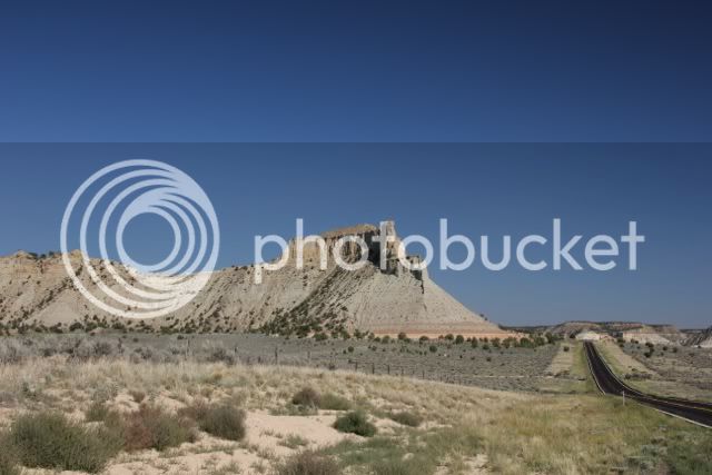
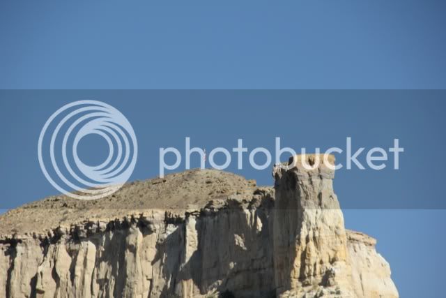
We take some more pictures and head back to Cannonville. We make one more stop at the bottom of the Staircase. To our right is a large mesa. At the top someone has erected a flagpole and hung the American flag. The lighting is good for a picture, but the wind isn’t. The flag hangs limply from the pole.

file-24.jpg


file-25.jpg


We ride past the cabin and five miles up the road, in the town of Tropic, stop at a small grocery store for food and supplies. Tonight’s meal will be hamburgers with mashed potatoes and beer. Lee buys a six-pack of Trader Session IPA. I select a six-pack of Polygamy Porter. Their slogan is, “Why have just one?” Their label may not be suitable for family viewing, but it is funny.

Tomorrow we will head southwest to Zion National Park.

 
After breakfast we load the cameras and ride to Zion. Traffic is light and we make pretty good time. I’m looking forward to this park. Because of so many visitors, the park restricts vehicular traffic in the park to only those who have reservations to stay at the Zion Lodge. Everyone else uses a shuttle bus to travel the road through the park. This isn’t too bad a deal. There are at least nine stops for scenic views and numerous trailheads. If you decide to get off you will only have a 7 to 10 minute wait for the next shuttle. This means Lee and I can leave all our riding gear with the bikes and travel lightly through the park with nothing more than our clothes, Camelbaks, cameras and big, brimmed hats.

We enter the park from the eastern entrance and negotiate the 1.1-mile tunnel that cuts through solid stone into the park. It’s narrow and low. Large RVs must stop and be escorted through the tunnel. Due to the curved nature of the roof of the tunnel, these large RVs must straddle the centerline to avoid restructuring the roof of their vehicle.

The tunnel isn’t illuminated and with the exception of the portals (windows) that were cut into the side of the tunnel for the dumping of rock waste the only light comes from our headlights. Under normal circumstances this wouldn’t be a problem. But because I’m still wearing dark glasses, it’s a problem. I keep my eyes and track between the two taillights of the car in front of me.

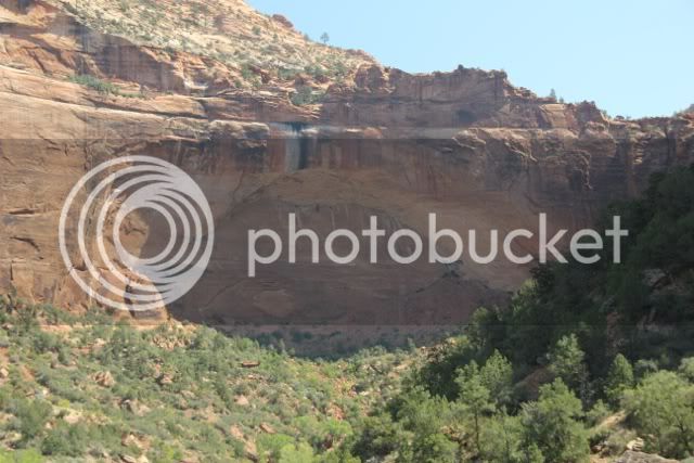
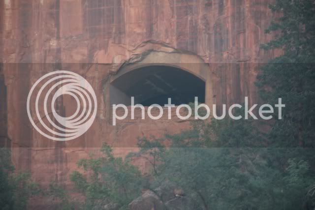
Exiting the tunnel we descend a series of steep switchbacks to the valley floor. Partway down we stop to photograph the cliff that the tunnels goes through and one of the portal windows.

file-1.jpg


file-33.jpg


A disadvantage of the shuttle system in the park is that although it decreases the cars on the park road, it increases the number of vehicles looking for a place to park. A sign informs us that the parking lots are full and visitors are requested to park in nearby Springdale and use a shuttle to get to the park.

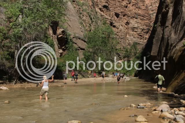
Lee and I are optimists. After several circumnavigations of the two main lots we find a place. We pull in, change out of riding gear and into visitors’ gear and walk to the visitors center where, you guessed it, we buy souvenir pins and bandanas with maps of the park on them. From there we take a shuttle to the end of the park road where we disembark and begin walking the paved path that ends where the canyon becomes very narrow. From there visitors may continue wading as far as they wish; provided they know whether or not there is any threat of a flash flood.

file-11.jpg


These are not to be treated lightly in the southwest. You could be standing in brilliant sunshine in a dry gully, wash, arroyo or streambed. But 20 miles away, it’s pouring. There is no soil to absorb this water so it funnels into the narrowest and lowest part of the valley. All of that funneled water is now combined and raging toward you. By the time you begin to realize what is happening, it can be too late, adios, mi amigo!

Walking along the path we see remnants of older walkways that have been destroyed and washed away. As professor Malcolm said in “Jurassic Park”, “Nature will not be denied.”

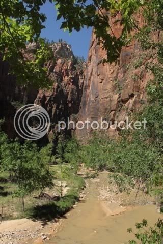
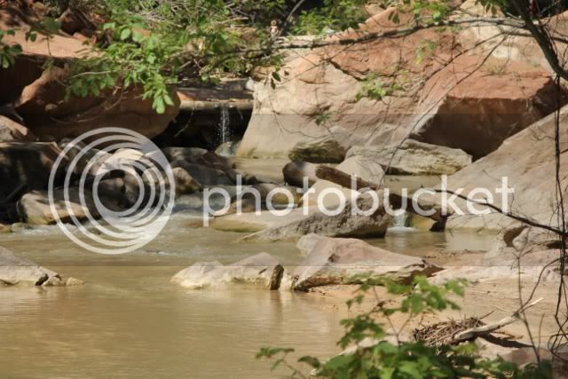
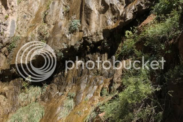
The recent rains have finally worked their way down through the layers of sandstone and emerge through seeps, weeps and springs to contribute to the flow of the Virgin River. Flowers, ferns and moss do their best to emerge, grow and thrive.

file-20.jpg


file-18.jpg


file-13.jpg


file-16.jpg


file-17.jpg


At the end of the path is a large area, like a patio where hikers top to change into wading footwear and others stop to rest before return to the trailhead.

file-21.jpg


Some venture out into the river to cool their feet.

file-24.jpg


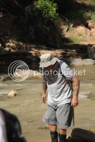
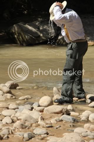
Lee and I walk to the river’s edge to fill our hats with water and enjoying a cold and invigorating head bath.

file-22.jpg


file-23.jpg


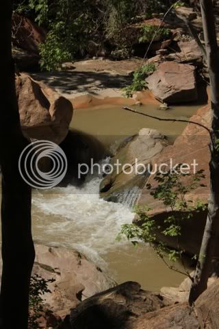
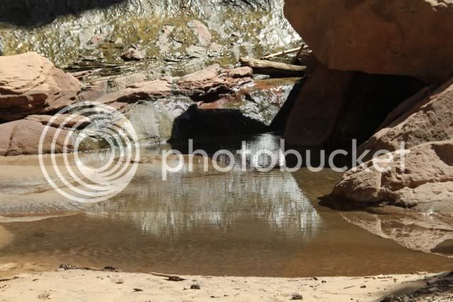
With cool heads we prevail against the heat and walk back along the path stopping only to photograph the river,

file-25.jpg


file-10.jpg


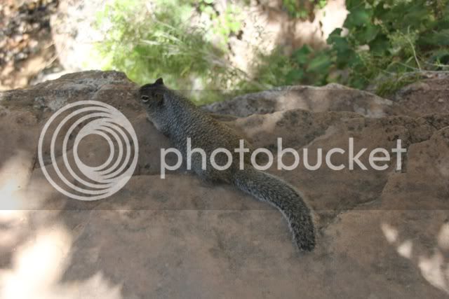
the local mammals seeking shade from the heat,

file-12.jpg


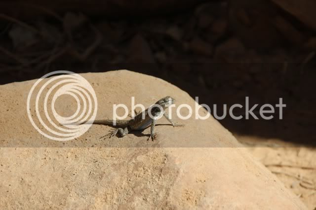
and local, cold-blooded reptiles seeking warmth from the sun.

file-26.jpg


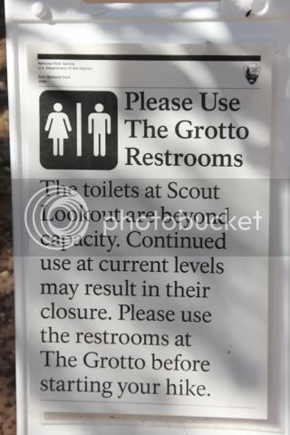
We stop at the Grotto and cross the bridge to look at the river. The message on this sign is not exactly what one would call, “inspiring.”

file-30.jpg


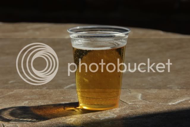
Our next stop is the Zion Lodge where we have a cold beer and watch the guests enjoy their lunches under the ramada.

file-31.jpg


file-32.jpg


Our last stop is a viewpoint for the Patriarchs. From left to right: Abraham, Isaac and Jacob. Jacob is the white peak sticking just above Mount Moroni on the right.

file-35.jpg


A sign informs us that it was a Methodist minister who named the three peaks after the patriarchs in the Old Testament. There is no mention who named Mount Moroni, the angel who visited Joseph Smith and led him to the golden tablets and his establishment of the Mormon religion.

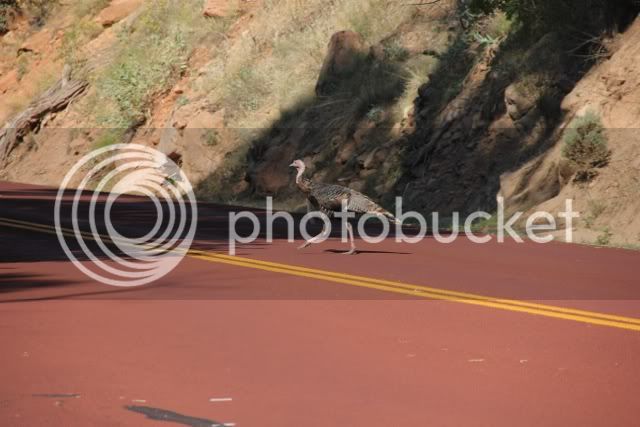
We pause and watch a flock of turkeys cross the road. Okay, there’s only one in this picture, but there were others with him.

file-34.jpg


A visitor on a bicycle stops and asks us why the turkey crossed the road.

“To show the opossum how it’s done,” I reply.

There is one final shot of the Great White Throne and then we’re back at the visitors’ center getting dressed for the ride home.

file-3.jpg


It’s pretty hot standing in the sun as we get our riding gear on. Soon we are moving up the road and heading back to the cabin. As the sun sets and we gain elevation we get chilled. By the time we reach the cabin, we are longing for a return of that heat in the parking lot.

Tomorrow we make a short ride to Bryce.

 
This is such excellent writing that I feel guilty about breaking into it. This man is really fantastic. The prose is excellent, the pictures wonderful, and I am hanging on every word. Two wonderful motorcycles, I would think the BMW and FJR complement each nicely.

If I may file one complaint, why did we not get a pic of the young ranger Jane Mansfield? Certainly that must have been worthy of a photo op based on name alone.

Thank you so much for sharing your friend's journal with us. We are indebted to you for this magnificent report.

 
we have now reached the halfway point of our journey, 14 days out It’s Saturday and and 14 to go. After breakfast Lee and I sit on the front deck with our morning coffee. Another camper who says he’s interested in talking to people on motorbikes interrupts us. He’s not from around here because he calls them “motorbikes.” The second clue is his accent. When I ask if he’s Scottish he answers, “yes.”

What follows is a wonderful discussion with out Scotsman, Hugh. He rides a BMW R1200GSA. He’s also a retired scientist who did blood analysis for the health system in England for 32 years. He leaves briefly and returns with his wife, Elizabeth. Soon the four of us are sitting on the deck, drinking coffee, talking about travels, international politics, health care, gas prices, history and culture. All too soon they leave to visit Bryce National Park. They may stop by this evening for another visit.

Lee has mentioned that the sights are part of the trip, but that the people we have met really make the journey worthwhile. People from all over the U.S. Internationally, we’ve met people from France, Italy, Holland, Germany, the Czech Republic, England, Scotland and Canada. I did hear a conversation by some people from New Zealand, but did not get to meet them. It’s like a two-wheeled journey around the world without leaving the U.S.

The Scots have left and it’s late morning. Previous experience tells me that the lighting in the park won’t be decent until late afternoon. We also observe that it’s Saturday and this may be our last chance to do laundry until we get to Hot Springs, Arkansas. We bundle our duds and walk up to the Laundromat. While our clothes are being washed and dried, Lee stands guard while I return to the cabin and pound out three days worth of journal entries. I’m in luck because the connection is pretty good and I can send the journals as well as upload pictures to Photobucket so I can use them in the dispatches for the BMW Forum. Lee then copies the dispatch, adds his own comments and uploads the entry to the Yamaha FJR Forum that he belongs to.

I have just finished the last entry for Zion when Lee return with our laundry. He’s even taken the time to fold mine. A few minutes later and we are heading out to Bryce, a short 25-mile ride.

At the visitor’s center we step inside and purchase __________________, _________________ and _____________________. (By now you should be able to fill in the blanks.) I ask about the shuttle service to see if it’s like the set-up at Zion. Normally it is, but because of the large number of visitors this weekend, they are only running the shuttle to Bryce Point, about six miles into the park. The end of the park road is another twelve miles beyond that. Since yesterday’s route worked so well, we’ll do a repeat today; ride all the way to the end and then come back stopping at the overlooks and scenic vistas until we get to the entrance.

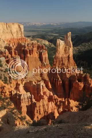
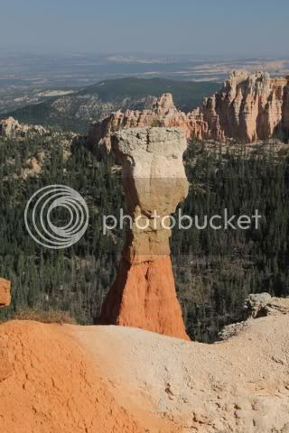
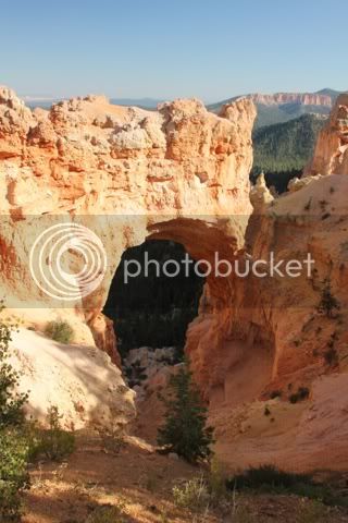
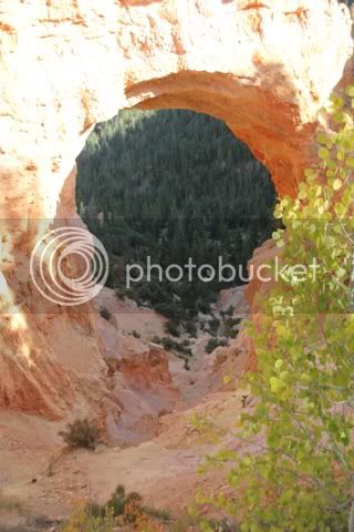
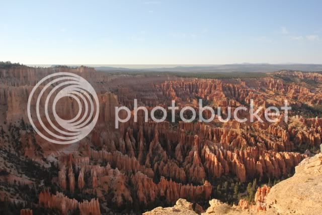
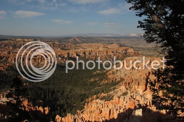
There isn’t much to say, so I’ll let the pictures speak for themselves.

file-6.jpg


file-4.jpg


file-10.jpg


file-16.jpg


file-11.jpg


This is Natural Bridge. An interpretive sign says it’s technically an arch. I guess it’s too late to go back and change all the maps and guidebooks.

file-12.jpg


file-13.jpg


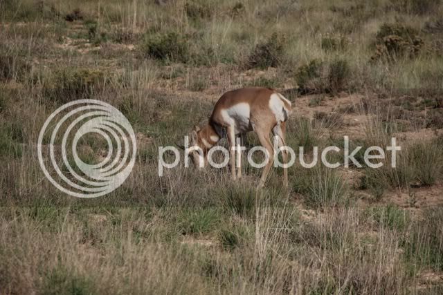
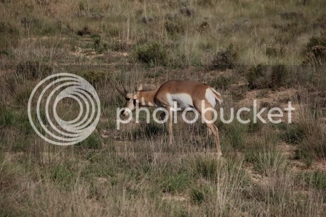
Shortly afterward we see a small traffic jam in the road ahead. There is an open area and a pronghorn is grazing close to the road. People have stopped and are taking pictures. Using the telephoto I can an acceptable shot.

file-14.jpg


Lee walks past me to get one of his own. Unfortunately, there is another tourist in front of Lee. Actually, this person belongs to the subculture known as either the Touron or Touroid clan. Each time Lee gets ready to take a picture this non-thinking, carbon-based, bipedal humanoid steps in front of Lee as he tries to get closer to the pronghorn. The animal obliges this gesture by walking an equal distance away. “Take five steps toward me and I’ll take five steps away from you.” Lee makes a comment to me that if looks were daggers this guy should have left the park in a basket.

file-15.jpg


Hey folks! If you’re going to move to take a picture make sure you won’t step in front of someone to do so. It’s also polite to step aside after taking your picture so others can get the same shot. Finally, if you see one person taking a picture of another, ask if they’d like you to take a picture of the two of them together. If these people are infirm, overweight and out of shape, you should have a pretty good collection of cameras by the time you finish your trip. If you decide to charge for this service, you might get enough gas money to leave the state.

Our final stop is Bryce Point. This is where the entire side of the mountain is carved out into one huge amphitheater filled with rock pinnacles known as Hoodoos. The caps of these spires protect what’s underneath from the rain so it doesn’t wash away. What is exposed gets carried downhill and eventually downstream.

According to the Park Service the Paiute legend claims the colorful hoodoos are ancient "Legend People" who were turned to stone as punishment for bad deeds.

NPR had an interview a number of years ago that tells the story.

Kevin Poe, the chief of interpretation at Bryce Canyon, has his own take on that legend.

Mr. KEVIN POE (Chief of Interpretation, Bryce Canyon National Park): The version I like to tell talks about how the To-when-an-ung-wa, as they were called, the Legend People, were notorious for living too heavily upon the land. They would drink up all these streams and the rivers in the springtime so there would be no water left for all the other creatures come summer.

And if that's not bad enough, then in the fall, they would gobble up all the pine nuts; there would be no pine nuts for the other animals to eat to help them survive the winters. This behavior by the To-when-an-ung-wa went on for years and years and years, and all the other animals and all the other creatures complained about how rude they were and how reckless they behaved. And they finally got the attention of the powerful god, Coyote.

And because Coyote if famous for being a trickster, he decided he would punish the To-when-an-ung-wa in a very creative way. What he did is he invited them to a banquet and he promised enough food to be able to eat all day long. And, in fact, that's quite an offer. I mean, even in modern times, you know, Bryce Canyon, on this barren desert landscape.

So, of course, all the To-when-an-ung-wa came and they came dressed in their finest, most-colorful clothing or in their most elaborate war paint, and they sat down to Coyote's great big banquet table. But before anyone could take a single bite, he cast a spell on them that turned them to stone. The To-when-an-ung-wa tried to flee up over the top of the canyon rim, and in so doing -almost like a scene from the "Titanic" - you see them trampling on top of each other, writhing bodies trying to escape over the edge of the canyon, and clustered right on the brink.

And so here they stand to this very day stuck like rocks. The geologic forces of weather and erosion have worn them away to the point they just look like towers of rock and no longer like statuesque cursed beings. Copyright © 2008 National Public Radio

file-20.jpg


file-19.jpg


file-23.jpg


file-21.jpg


file-22.jpg


Our timing to leave Bryce Point couldn’t be any better, two large tourist busses have arrived and an army of over-heated and over-eager tourists are swarming the guardrails and overlooks. Most of them pay no attention to cross walks. Nor do they keep to the right when walking up the paths. In fact they will approach you walking four abreast daring you to stand your ground and be trampled or to yield and step off the path risking a nasty fall. They remind me of the playing cards that appear in Disney’s “Alice’s Adventures in Wonderland.” Several of them continue walking while peering through cameras lenses, the eyepieces of video cameras or the display screen on their smartphones. If one should walk off the path into nothingness, I wonder if his final thoughts might be, “Can I get this uploaded to Youtube before I hit bottom?”

We exit the park and ride back to the cabin before nightfall. Our mission is to eat and drink all the food in cabin before we leave for the Grand Canyon in the morning and we’re just the two guys to take on that task.

file-8.jpg


Al I can say is I am having the ride of MY life! Great company as you guys who are reading these already know. Chris has taught me so much about History, Camping, Hiking, and so much more about things in general. He did pick up the pieces of my 2007 K1200 LT, and me, and made sure I was cared for before he and his wife moved on.

The

FJR 1300 has performed very well, loaded and unloaded. It has gone through some gas but to be expected at 75-85 MPH for hours on end. I can not ask any more of a bike. I want cruise but not the bikes fault. It has not used a drop of oil in a little over 4000 miles. I was looking as some have reported oil loss on high speed runs, but I do not remember if Gen I or Gen II thing. The Bike just plain rocks.

So On our last ten days out swinging home to PA and we are in Hot Springs, Arkansas.

I have been humbled to say the least.

OK here is what you guys really want, Chris:

Lee and I have had numerous encounters with people from all over the world. To date we have met people from: France, Netherlands, England, Scotland, Czech Republic, Germany, Australia, Italy and Canada. For the most part, the Europeans cannot get over how vast the American west really is. A visitor from The Netherlands made the comment, “I live with seven and a half million people in a country that isn’t much bigger than the island of Manhattan. Steeping outside of my home I cannot stretch my arms out without hitting or touching another person.”

A couple from England, standing at the vista on the Escalante, kept saying, “Wow!” He told me that England has nothing like this in comparison. “Yes,” I replied. “But you have such incredible history and pageantry. We have nothing to compare with castles and cathedrals built and used 200 years before Columbus set sail. You come to America and see a home built in the 1700s and comment, “How modern.’”

Yes, thing are big, vast and wondrous out west. Driving across the high desert plateau you might see a water tower or grain elevator in the distance and think, “Wow, I’ll go by that pretty soon.” Two days, seven hours and forty-one minutes later, it’s still on the horizon. And then you come to the Grand Canyon and there is nothing left to do, but stand and stare at something so huge you can’t quite wrap your head around it.

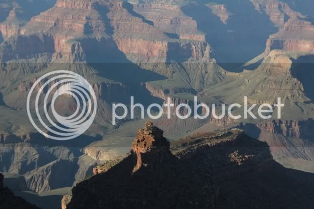
Take as many pictures as you wish. Sunrise, sunset, a thunderstorm at the canyon and you think, “That’s going to make a great picture.” You’ll probably go home and look at them once and that’s it. Pictures cannot do it justice. So take a few things into consideration.

The canyon began approximately 17 million years ago. In comparison, the Great Pyramid of Giza is only 3700 years old. That’s a mere blink of an eye to the geology of the canyon. We may marvel at our own human handiwork and label them the Seven Wonders of the World, but what wonders are they when one stands at the rim of the Grand Canyon and considers the length (277 miles), width (Up to 18 miles wide) and depth (over a mile). The Panama Canal is only 51 miles long, is barely wide enough for most modern ships and isn’t very deep. Visit the Petronus Towers, the Coliseum, Notre Dame Cathedral and then drive to the South Rim of the Grand Canyon. Park your car in the lot near Mather Point. Follow the sidewalk past the visitor’s center.

file-12.jpg


Try to keep your eyes directed toward the sidewalk, no peeking. When you get to a chain link fence, stop and lift your head. Wow!

file-15.jpg


file-16.jpg


file-20.jpg


file-3.jpg


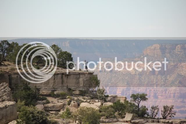
In the following picture, there are people standing on the rim opposite of where I took this picture, Use them for scale.

file-1.jpg


Next is a section of the Bright angel Trail crossing the Tonto Plateau. The furthest point that you can see is about a 3.5-mile hike from the rim. At this point you are almost halfway to the bottom.

file-4.jpg


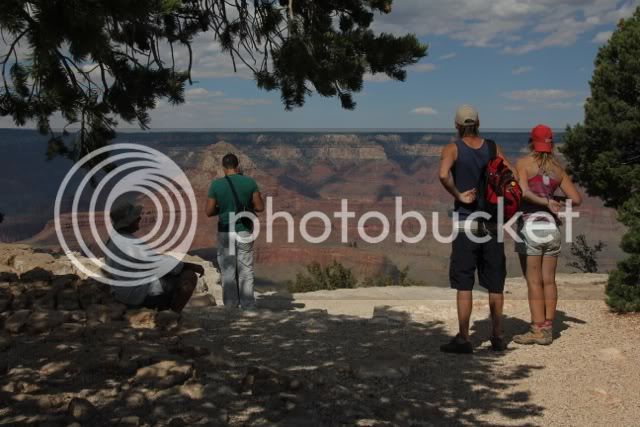
It helps if you have the chance to get away from the rest of the tourists

file-22.jpg


and wander off by yourself until you can only hear the wind, your footsteps, and if you’re lucky, the river. Ravens will flit above you and mock you, but pay them no mind. Lee did a solo excursion and found a terrific vantage point with no one else around. Well, no one else but me and a telephoto zoom lens.

file-25.jpg


“Gaze not too long into the abyss, lest the abyss gaze into you.”

Edward Abbey

file-24.jpg


I’ve been to the Canyon several times. Although I have yet to hike to the river and back or do the rim-to-rim hike, I have done some day hikes to Skeleton Point on the South Kaibab, Dripping Springs on the Hermit Trail and to Horseshoe Mesa on the Grandview Trail and a short stretch of the Bright Angel Trail. Tomorrow, Lee and I will hike down to Ooh Aah Point on the South Kaibab Trail.

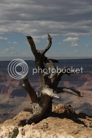
If gazing into the abyss proves to be too much it’s always worthwhile to exam the various abstract art on the south rim.

file-17.jpg


file-11.jpg


Or, you may wish to exam the various humanoid species that venture from their cars, RVs and tour busses. I once read that the average visitor spends less than two hours looking at the Grand Canyon. “Okay kids, back in the car. Daddy wants to get back to the motel before kick-off.”

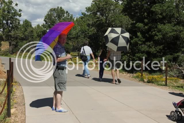
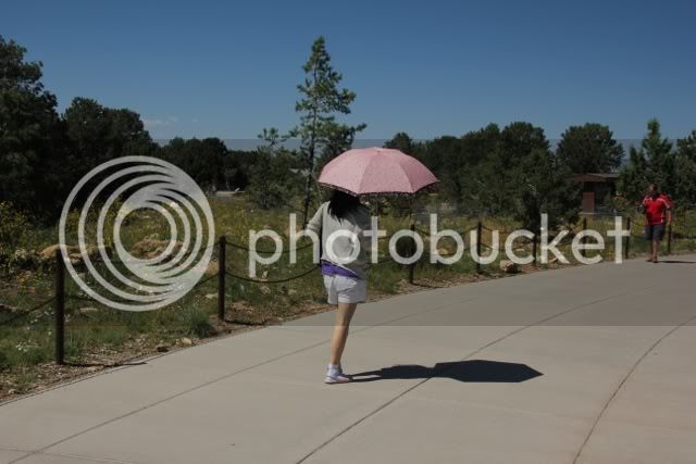
There are those visitors who adhere to the acronym of BYOS (Bring your own shade.)

file-10.jpg


file-9.jpg


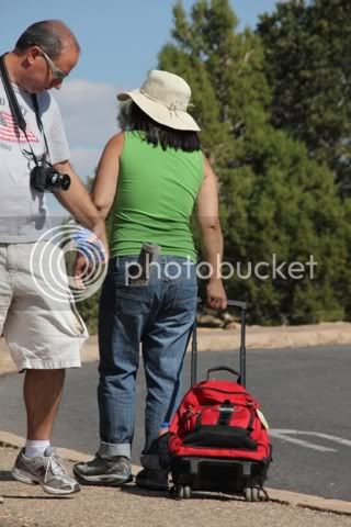
For some, the weight of a daypack may be too much. Just attach some wheels, a handle and off you go.

file-19.jpg


Shade is a precious commodity and Lee has found some.

file-18.jpg


And of course there’s always someone willing to take our picture.

file-6.jpg


Shortly before sunset we head back to Williams for dinner. We would stay for sunset, but temperatures drop rapidly after the sun goes down. It is also the time of day when mule deer and elk venture out onto the shoulders of the highway to graze. If the grass is greener on the other side they will cross the road oblivious to highway traffic. Neither of us wishes to encounter either animal while riding a motorcycle.

We have dinner at Pancho McGullicuddy’s – Irish beer and Mexican food. Well sated and slaked we wander the streets visiting the numerous gifts shops. The theme is quite simple, “Route 66.” The historic Mother Road passes through town and I seriously doubt that there are few things one cannot buy that do not have the Route 66 shield on it. Cups, mugs, glasses, shot glasses, ash trays, T-shirts, jeans, bandanas, belts and belt buckles, socks, earrings, rings, pendants, key chains, lighters, license plates, dishes, rugs, blankets, towels, spoons and bells; to name a few. I find some lapel pins with the Route 66 logo on them. Above the logo is the name of each state that the route passes through. I find, Illinois, Oklahoma, Kansas, Texas, Arizona and New Mexico. I cannot find Missouri and I think back to the huge sign on the Chain of Rocks Bridge. It did say, “Missouri.”

Back at the cabin we turn in for the night. Already temperatures have fallen into the fifties. We need a good night’s sleep for on the morrow we venture into the beast itself.

 
Last edited by a moderator:
From Williams, AZ to Hot Springs, Arkansas. (No pictures – there’s not much to make us stop. The destination is our be-all and end-all.)

Day 18 – Williams, AZ to Albuquerque, NM

It’s chilly when we wake up and our morning coffee has to wait while we pack our gear and load the bikes. Finally we’re ready to roll, but the morning sun feels warm on our faces and there is that desire for the morning cup of Joe.

A short drive from the campground and we pick up I-40 East. This highway will be our companion for several days. We roll through Flagstaff and the Coconino National Forest. The morning sun is dead foul in my eyes. Reflections in the windshields, bumpers and grills of cars and trucks flash on and off as we keep pace with the rest of the cars and trucks all heading somewhere to do something.

We pull off the highway at Winslow, Arizona for breakfast at Denny’s. Down the street I can see people travelling on the original, and HISTORIC, Route 66. Interesting to note that many of the exit signs on I-40 have historic signs telling drivers that there is access to the route. I’m thinking, “One of these days…” As I set the side stand down I can hear the Eagles on my iPod,

“…Well, I’m standing on a corner in Winslow, Arizona, I’m such a fine sight to see. There’s a girl, my Lord, in a flatbed Ford, slowing down to take a look at me.” Yeah, that’s Karma.

Exiting the Denny’s Lee sees a filling station across the backside of the parking lot. Nothing unusual about a filling station except this one is for vehicles powered by natural gas. It’s the first one either of us has seen for real. Lee takes a picture of it. It will be the only picture taken during this leg of our journey.

Our game plan is to ride for 100 miles and take a short break, walk around, stretch, visit a bathroom, etc. the next 100 miles means we need gas so we get a longer break. So far this plan works perfectly. Tomorrow will be a better test as we drive 560 miles from Albuquerque, NM to Norman, OK.

I have a love/hate relationship with my Garmin GPS. At times it is spot on with directions and current location. On other occasions it develops a cerebral infraction and just loses it. This is one of those occasions.

I exit according to the Garmin. It says, “Turn right.” I do so. I go a mile and it says, “Turn right.” Then it says, “Turn left and make a U-turn.” There is a large vacant parking lot to my left. A strip mall with most of the storefronts closed lies beyond the lot. Entering the lot, Lee contacts me on our intercom and tells me that his back teeth are floating and if he can’t find a restroom, a large tree or bush will have to suffice. There’s a dusty covered, eat-it-and-beat-it joint called the Wienerschnitzel Haus near the entrance to the parking area. The signs are faded and dust covered, but it looks open. Lee says he’s going there. I try to follow him, but my left leg gets a snarling dog cramp and I coast into the shade of a thinly leafed sapling with just enough strength to set the side stand and get off. I walk around until it goes away and start looking for Lee to come out of the Haus. I don’t see him. I try the intercom and get nothing. A few more minutes and I remount and ride around the Haus and don’t see him or his bike. Figuring he may have asked directions and missed me I rely on Garmin to take me to the KOA figuring he’s ahead of me. I get to the campground office and there’s no Lee. I ask at the desk and he hasn’t checked in, “Uh oh!”

I go outside and try the intercom again. No luck. My cell phone rings. It says it’s Lee. I answer and get nothing but static and an unintelligible roaring that might or might not be Lee’s voice. Whoever it is, sounds pissed. Lee hangs up. I call him back. For some strange reason our connection is clear.

“Where the Hell are you?” he asks.

“I’m at the KOA.”

“How come you didn’t stop for me?”

“I didn’t see you or your bike.”

“You went right by me.”

I tell him how to get to the KOA and in a few minutes I see him coming up the street as I stand on the sidewalk waving a red bandana.

As he tells it, he parked in the shade of a trailer and went inside the Haus to use the bathroom. After conducting his business he stopped at the counter and asked if the clerk could make a root beer float. Lee loves good root beer. He gets his float and figures it would be rude of him to come outside with just one float so he orders one for me. With two floats in hand he starts for the door just in time to see me ride by. Thinking I’m circling to park, he steps outside and waits. I never return. A grown man in riding gear sitting on a sidewalk with two root beer floats as his partner leaves him behind must be a mighty sad sight. Yep, he’s the original, redheaded, orphan child.

After hearing his side of the story and he hears mine I ask, “So, where’s my root beer float?”

“I left it on the sidewalk. It’s yours if you want to go back and get it.” I pass on that.

We unload what minimal gear we need for the night. Tomorrow we need an early start to cover 560 miles.

We’re both hungry, but too tired to remount and look for a restaurant. Thank God for local delivery. Pizzanine arrives with a deluxe deep-dish single pizza for Lee and an Italian sausage sandwich for me. There’s a 2-liter bottle of Pepsi and the service is kind enough to include two large cups filled with ice. There are no napkins. So it goes… That’s why Lee and I always take some from every restaurant we stop at. Maybe we could add them to our pin and bandana collection when we get home.

I’ve noticed that this KOA offers a Continental breakfast that begins at 7 AM. If we get up early enough we should be able to pack, grab something to eat and hit the road.

Day 19 – Albuquerque, NM to Norman, OK

We’re up before dawn. We shower and load the gear by 6:45. We wait a few minutes and walk to the Rec Center where we enjoy pancakes, coffee, juice and fresh fruit. There’s a television turned onto the CBS National Morning News. The cook says he doesn’t like to watch any of the controversial programs and switches to Good Morning America.

I haven’t paid too much attention to what’s been happening in the world, which is unusual since my wife and I are both news junkies. I see a surfer riding a wave while the silhouette of a shark lies is just beneath the surface and ahead of him. People are trapped on a thrill ride at Knott’s Berry Farm for several hours and one of the hosts at GMA is going in for a bone marrow transplant. Whew! For a minute I thought I might have missed something important.

We catch the local weather and head for the bikes and I-40 east. Since it’s rush hour and most people are inbound while we are outbound traffic in our lanes is relatively light. To our north the sun lights up Sandia Peak. There’s a cable car that takes visitors to the top (10,378 feet) where there’s an observation deck and a restaurant called, “High Finance.” Years ago, my wife and I had dinner there. One glance at the menu told us this place did not get its name from the elevation.

We stop in Tucumcari for gas. On my iPod I can hear Little Feat singing “Willin’.”

“I’ve been from Tucson to Tucumcari,

Tehachapi to Tonopah.

I’ve driven every kind of rig that’s ever been made.

I’ve driven the back roads so I wouldn’t get weighed.”

More karma.

Our trick for this ride is to look at it from the perspective of 100 miles chunks. It’s similar to the old adage of how to eat an elephant; one bite at a time. Five stops and then it’s just a 60-mile run to the campground, but Mr. Garmin has other plans in store for us.

We ride out of New Mexico and cross the panhandle of Texas with a gas stop in Amarillo with more Route 66 memorabilia.

We leave the panhandle and begin crossing Oklahoma where the, “…winds come rushing ‘cross the plains.” And they are some serious winds and wind gusts. Lee tells me that by sticking your leg or knee out you can counteract the crosswind. It works like the spoilers or flaps on an airplane’s wings. A wind from the right pushes the bike over to the left, stick the right knee out and it creates drag causing the bike to pull upright. It’s pretty slick.

As we near the outskirts of Oklahoma City we can see the large airfields for Tinker Air Force Base. We ride past one of the entrance gates and see a variety of aircraft on display, including a B-52. At this point my Garmin starts misbehaving.

Normally I can see the road map in the center of the display. The lower left corner has elevation. The lower right shows posted speed with my current speed. Upper right is a clock and upper left is distance to the next turn. A banner headline tells me either the road I am on or the road I will exit on to. Suddenly I have no map, just data. Lee’s Garmin, the same model as mine, a 660, shows everything. Since he’s behind me I ask for verbal cues.

Suddenly both of our Garmins go a little crazy. The purple arrow that shows our course starts twisting and turning saying, “go left. Go right. Make a U-turn.” It’s like the Mayhem character on the insurance commercials. The bottom display keeps telling us it’s recalculating. All of this happens while we’re riding on I-40 and intersecting with numerous bypasses and main arteries into Oklahoma City.

As suddenly as the behavior started, it stops and everything’s back to normal. We find our exit and less than two miles later we’re unloading our gear at the KOA cabin. As we drop our gear a young man approaches and starts talking with us. His name is Steve. He’s from England and with two other friends from Ireland is following the Mother Road. He invites us to join them after we’ve had a bite to eat.

Lee and I have a quick discussion about the cabin before setting out for dinner. My welcome email said this was a unique cabin with a half bath, air conditioning, heat and would sleep three. I assume it has a single bed on one wall and a double bunk bed on the other wall. I am, as usual, quite mistaken. Either that, or unprepared for the myriad ways that a simple cabin can be outfitted. This cabin has a queen-sized bed with a single bunk suspended over the inboard side. Very strange. I volunteer to take the top bunk, but Lee supersedes me. His argument is that if I have a nocturnal leg cramp in the top bunk, I might tumble out and fall on him; crushing him to death while he slept. He has a good point, so I don’t argue.

We head out to the intersection with I-40 for dinner at Wendy’s. I am trying to eat well-balanced meals, but sometime must revert to the primitive hunting and gathering lifestyle of my ancestors.

After parking the bikes we’re approached by a poorly dressed, gap-toothed and lanky character who tells us a hard luck story of being out of gas and could we spare five bucks so he could get home. Is it coincidental that he was standing outside the entrance to a liquor store when we rode up?

I tell him my basic lie that I have no cash, only a credit card. He admires our bikes and talks about friends who have owned bikes. Then he thanks me, wishes us a safe trip and returns to his lonely vigil outside the liquor store.

Lee and I have no problem entering the aforementioned store to purchase bourbon for tonight’s cocktail party. Lee gets the last bottle of Knob Creek and I try a bottle of Silver Eagle. It’s a small liquor store and most of the brands they stock would make a cheap bar blush with embarrassment.

Back at the cabin we take off the riding gear and with bottles in hand walk over to our host’s campsite. They have a thirty-foot Class C rental and are quietly sitting at a picnic table finishing their evening meal. What followed afterward is a bit hazy, but it was, as Lee would say, “A hoot.”

The two Irishmen are Barry and Damien. Damien and Steve are commercial pilots for an English airline that services most of Europe. Sorry, but I can’t recall the name. Lee mentions that neither one looks old enough to be a pilots. I ask if they have notes from their mothers saying it’s okay for them to fly. They’re all in their early thirties.

Our evening discussion revolves around flying, politics, why Route 66 is such a magnet and health care. I congratulate Steve for Britain’s win of the Tour de France with Bradley Wiggins. Lee asks Damien a question and the reply is, “That’s the way we roll in Ireland!” Barry shows a video on his smart phone of them making pizza in the gas oven while driving along the Interstate at 75 mph.

“Isn’t that dangerous?”

“Only if the driver is the one doing the cooking.”

Damien talks about the tire that blew out and damaged the floor of the RV. Steve talks about driving down Route 66 when suddenly the pavement ended and the Route became stone, gravel and dust. The procedure of making a three-point turn was accomplished with about sixteen separate moves.

Barry goes inside the RV to sleep. Lee cashes in his chips and Steve, Damien and I stay up until 1:30 talking, telling stories and generally having a great time, not to mention putting a hurt on the bourbon and beer. I make some recommendations of what to see as they head west on Route 66, Las Vegas and California. They return the favor by telling me about sites to visit in England and Ireland. I finally bid them a good night and head for the cabin; Lee is sound asleep in the upper bunk.

In the morning as we pack we are met by Damien and Steve who have been out for a run. I look and feel as though I’ve been hit with a family-sized can of “Whup-ass.” I have a slight, nagging headache and my nose is sunburned. These two looks as though they’re refreshed and ready to take on the world. Yep! That’s the way they roll.

While lee takes a shower the threesome drive by in the RV. I shake hands, thank them for a wonderful evening and wish them safe passage. I regret not getting their addresses.

We are almost finished loading the bikes when Lee asks me what time it is. My watch is wrong so I check the clock on the cell phone. It’s latter than we think. We’re back on central time and during our run yesterday, we lost an hour.

Time zones have been a bit confusing for us. It’s even more confusing because Arizona does not do standard or daylight savings time. If you’re in Williams, you’re on Central time while all the other states in that zone are an hour behind. I walk up to the office and explain that we will be late checking out due to this factor. The lady behind the desk says it’s no problem since there aren’t that many guests checking in today.

Day 20 to Hot Springs, Arkansas.

Once again we rejoin our good friend I-40 and head east. It’s hot and dry, 94 degrees. Large signs along the highway inform us that there’s a statewide ban on open fires. Recent rains have turned the prairie grass green, but the soil beneath is bone dry and dusty.

Compared to yesterday, today’s 322 miles, as my friend Ray would say, “Ain’t nothin’ but a thang!” 200 miles of four-lane Interstate and we drive into Fort Smith, Arkansas. From here it will be two lane highways to Hot Springs.

We now have to reacquaint ourselves to actually leaning the bikes into curves and bends in the road. The flat plains have been replaced with the Ozark and Ouachita Mountains. It was 97 in Fort Smith, at one point as we drop into green, shady valleys with tree-lined roads I glance at the thermometer on the display; it’s 77 degrees. Very refreshing.

The scenery reminds me of the hills and mountains of Pennsylvania, but they aren’t quite the same. The long parallel ridges and valleys are missing here. I wonder why I’ve never ventured into this state before. The roads are well kept and there are passing lanes on most of the climbs.

Once upon a time an independent trucking publication ranked Pennsylvania 49th out of 50 for having the worst roads in the U.S. Arkansas was dead last. I called our tourist bureau in Harrisburg and told them I had a great idea for a bumper sticker, “Pennsylvania! If you think our roads are bad; thank God you aren’t in Arkansas!” They hung up on me.

We check into our cabin at the Hot Springs KOA. This is a studio with a queen-sized bed and a fold out futon beneath a bunk bed. There’s a small, two-burner kitchen with microwave, tiny refrigerator, a toaster and a two-cup coffee maker. The bathroom has a toilet and shower stall. The bathroom sink is set against the wall outside the bathroom door. Outside there’s a small deck with a porch swing. In front is a small picnic table next to a fire ring and a gravel parking area.

People in Arkansas must be taller than the average American. The counter for the bathroom sink is higher than my waist. Sitting on the porch swing, my feet don’t touch the deck. However, the rocking, swivel lounge chair in this cabin is extremely comfortable. But after riding 1100 miles in three days, a plywood bench would probably feel pretty good. I realize there are those riders who can knock off a thousand miles in less than 24 hours. They belong to the Iron Butt Association. Since Lee and I did just over half that distance, I suppose we might qualify for the aluminum foil butt association. Or maybe it’s corrugated cardboard.

We head back into town for a grocery and beer run. As luck would have it, Arkansas allows beer and wine to be sold at grocery stores. As our luck would have it, we visit the only grocery store in the entire city that does not sell beer or wine.

We buy some provisions and head back. We stop at a convenience store that sells fried chicken, beer, wine and has gas pumps. Lee buys gas and I buy beer. But the place is packed and there are all sorts of problems. The only cashier makes a mistake while charging a customer and the manager has to make the corrections. There is an incredible amount of heat coming from the fryers and the door opening to the outside. Lee’s pump refuses to print a receipt and he has to come inside. Sweat is pouring down my brow and my once cold beer is now approaching room temperature. There’s a sign over the cold room where the beer is kept. It announces that this is the coldest beer in Arkansas; it’s kept at 28 degrees. It will be nowhere near that temperature by the time you pay for it.

Back at the cabin I enjoy a couple of beers, tepid, but chilling in the refrigerator, while Lee does laundry. I work on the journal trying to get caught up. Lee returns with clean laundry and suggests we have a slob day and go into town for a full spa treatment. He’s been doing some research online and has found a place called the Buckstaff Bathhouse. Sounds like a plan to me.

Lee and I stayed up until 1:45 AM talking and working on our pictures and journals. Without setting the alarm I awoke at 8 AM, got dressed and headed to the laundry room toting two stuff sacks, a bottle of detergent and my laptop. Lady Luck smiled and said, “Have a nice day.” There was no one else in the room so I grabbed two washers, loaded the clothes, detergent and slammed 6 quarters into each machine.

Adjacent to this room is the game room with pinball machines, air hickey and a pool table. It was vacant so I grabbed a chair and sat down at a round table and pounded pout the past missives while the clothes lost their accumulation of dirt, grease dust and sweat.

It took two full cycles in the dryer to dry my clothes. That was fine with me because I finished the Grand Canyon dispatches and had started the episode of driving from Arizona to Arkansas.

Lee is waiting for me when I return and in a few minutes were riding into the historic district of Hot Springs where wee locate the Buckstaff Bathhouse and a place to park. We have been told to arrive early since it’s a weekend and these places can get pretty crowded. We enter the building at a little after noon. A sign says they open at 1:30 and won’t sell tickets until 1:15. Outside on a large veranda are a number of Adirondack chairs where visitors are sitting. Apparently that’s all there doing. There’s a line of four women in front of us inside sitting on overstuffed lounge chairs. I take a vacant seat and read while Lee entertains the ladies with tales of our adventures.

Finally they remove the closed sign and start processing the guests. Lee and I choose the standard package: whirlpool, loofah mitt, sitz bath, steam room, needle shower, hot towels and a massage. After 21 days on the roads of America we are really looking for this.

We pay and are directed to a door labeled, “Men’s Locker Room.” Through those doors an attendant wearing a white polo shirt a slacks directs us to curtained stalls that have vertical lockers such as one would find in any gym. From the lock of each locker hangs a key with a wristband. We are told to strip, place our clothes in the locker, put the key on our wrist and step back outside. He hands us white bed sheets. A few minutes later, Lee and I step out dressed as Roman senators without the laurel wreaths. Cameras and cell phones are not permitted beyond this point.

We leave the dressing room and enter the main bathroom. A large tiled room that might be a hundred feet square. There are cushioned tables in the center of the room. Along each wall are various stations of hydrotherapeutic devices that would make the Spanish Inquisition envious. Or maybe the CIA. I see no evidence of waterboarding and have no desire to give them any ideas. Actually, I’m looking forward to this experience.

Our new attendant introduces himself as Bobby and asks for our names. We give him our names and he repeats them, but it’s really pointless for the next hour and a half he’ll call us either “Buddy” or, “Young man.”

Bobby is an older African American. Thin and wiry with a wrinkled face with a few missing teeth in front he wouldn’t look out of place standing outside the corner of a boxing ring with a Q-tip coated with Vaseline tucked behind his ear, a towel draped over his shoulder and a three-legged stool in one hand; yelling encouragement to his champ, “Keep your guard up! Jab! Jab! Duck! Bob! Weave!”

Our first stop is the whirlpool bath. Each chamber contains one tub. Lee goes to his and then Bobby escorts me to mine. It’s an oversized porcelain tub with a Waring blender mounted at one end. A large pipe pours hot water into the tub until it’s almost full. The temperature is set at 100 degrees. I’ve read that the natural temperature of the hot springs is 143 degrees.

Bobby tells me to get all the way in and then sit back as he places a loofa mitt behind my head so I can lean back against the tub’s edge. He hands me two small glasses of water that he’s filled from the main tap and tells me to drink them for my health. I sit and relax as turbulent waters swirl and bubble around me. Every now and then Bobby stops by asking, “How ya doing young man?” Or, “Is everything all right, buddy?”

After twenty minutes we are then taken to the sitz baths. Again, these are in separate stalls. Imagine a large, porcelain laundry sink placed on the floor. You sit in this with your knees tucked up and your feet on the floor.

“This is good for your tailbones.” Bobby tells us. He shows us how to add hot or cold water and how to use the drain. The technique is to fill the tub with water as hot as you can stand and then close the tap. When the water cools off, open the drain and close it when the level drops then add more hot water. Repeat this process until Bobby says it’s time to move on.

Our next stop is the sauna. Lee and I sit side by side in a steam room not much bigger than a double phone booth. Sitting on our towels on a wooden bench I joke with Lee about looking like gangsters of the thirties discussing a hit or gang take over. In no time our pores are open and sweat runs down our faces, arms and legs.

I’ve been told that at the South Pole there are personnel who belong to the 300 Club. They sit in a sauna set at 200 degrees and then run outside and roll in the snow when the air temperature is 100 degrees below zero! They say the sensation of the skin’s pores slamming shut is quite exciting, almost erotic. I’ll pass.

We have no birch branches to beat ourselves or snow banks to roll in so Bobby takes us to the needle shower. This is an over-sized shower stall with numerous vertical pipes running up and down on each wall. Thin, streams of hot water attack your body while overhead a large showerhead dispenses more hot water on your head. This lasts a few minutes.

The next stop is to lie face down on a cushioned table while Bobby places hot, moist towels on your aching muscles. Lee and I both ask for the lower back and shoulders. Bobby places the towels and then wraps us up in a sheet that covers the pad we are lying on. I now realize how pigs must feel at a luau wrapped in palm leaves and buried in a pit with red-hot stones and then buried with sand. Where’s the apple for my mouth?

After almost ten minutes Bobby unwraps us and takes us to another chamber for our massages. Lee goes first while I wait in the Cooling Room with a sheet as a toga trying to read a year old copy of Time Magazine without my reading glasses. It takes me almost 15 minutes to read a one-page interview with one of the designer’s of Watson, the IMB computer that played on Jeopardy.

Finally it’s my turn and my massage therapist introduces himself. Coincidentally his name is also, Lee. He gives full body massage working on my legs, arms and back. As he works the final knots out of my body I learn that he is originally from Romania. When he lived there he rode an R75 BMW. He talks about his love and respect for the Boxer engine.

He also reminds me to drink plenty of water when I leave. “You may not realize it, but you’ve lost a lot of water while you’ve been here.” Ironic when one considers how much time I’ve been in water. And yes, for once I did enjoy being in hot water.

After twenty minutes he finishes, I thank him and shake his hand. He directs me to the locker room where I get dressed and enter the lobby is waiting. “There are 206 bones in the human body,” I tell him. “But right now I don’t have any.” How are we ever going to get our bikes upright when our legs feel like jelly?

Somehow we manage and stop for take out chicken and make it back to our cabin for a late lunch/early dinner. Over an hour and a half of spa treatment for 64 bucks; that’s hard to beat.

I thank President Andrew Jackson and our government who set Hot Springs aside as an area for recreation. This precedes the Antiquities and Preservation Act by almost 100 years. In 1921 this section of Hot Springs became a National Park. That’s quite a change from the parks we’ve seen in the past three weeks: canyons, deserts arches and mountains and now, hot springs. Yeah, America’s greatest idea and they got it right.

This morning I read that President Obama and a bipartisan Congress set aside several thousand acres in Colorado as a new national monument – Chimney Rock. Tomorrow I’ll hate Congress as much as I ever have, but today I’ll drink to their health and offer my thanks.

I also drink to the health of you, my faithful readers. Oh yeah, where are the pictures? Here you go.

The Buckstaff Bathhouse first open in 1912 and is celebrating their centennial.

file_zps60138fe9.jpg


file_zps63b69ed7.jpg


Some of the spas on Bathhouse Row in the historic district.

file_zps8891cdfe.jpg


file_zpsdde2045e.jpg


Park Headquarters.

file_zpse6ab33c5.jpg


file_zps99a2c210.jpg


file_zpsbbced41f.jpg


There are several fountains near the headquarters. The water is warm and tainted with minerals. Prosit!
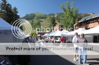
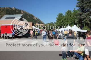
file_zpsfcf6ef66.jpg


file_zps54873e4b.jpg


file_zps9cd4980e.jpg


I awake this morning to something I haven’t heard in quite a few weeks – thunder. I step outside, it’s windy and there are flashes of lightning followed by rumbling echoes of thunder. There are a few spatters of rain, but the sky promises to deliver more and then some. Within half an hour it is a torrential downpour accompanied by the light show and percussion instruments in the cloud section of this orchestra. Beethoven’s 4th movement of his 6th symphony pales in comparison.

Lee wakes up and joins me on the deck. At first we are sheltered from the rain, but the wind intensifies and our margin of dryness becomes smaller and smaller until we retreat inside to listen to the rain beat a frenzied jazz tattoo on the metal rook of our cabin.

I turn the computer on and call up the website for NOAA. The national radar shows everything to be clear from the Rockies to the East Coast except for a small green blob hovering over northern Arkansas. Guess where we are? Sorry, you get three chances, but the first two don’t count.

There’s not much to do except some minor housekeeping of our gear and making endless pots of coffee waiting for the rain to end. The coffee maker is very small and although it says it makes four cups that translates to 1.5 mugs, which isn’t much by our standard of consumption.

For the most part our cabin is quite nice as previously stated. I failed to mention our hosts, Periplaneta Americana, of the family Blattidae. We know him as the American Cockroach. My first encounter was our first night here with one descending the bathroom wall. He was about 2 inches long and quite speedy. Wikipedia says that if a human had the speed of a cockroach, he would be able to run at 210 mph. Fortunately, for me, this guy isn’t five foot ten so I’m able to nail him with a slipper. Another appears above the sink and after a lengthy game of hide and seek, he too, succumbs to the awful situation of being caught between a hard wall and a hard sole. Humans 2 – Roaches – 0. I nail a third one back in the bathroom and celebrate my hat trick with a beer. Then I remember; roaches love anything that’s fermenting. We make a note to thoroughly rinse all beer bottles.

In the morning before we went to the spa I stopped at the office the register a minor complaint with the manager, a short, stocky woman with mousy hair and a non-nonsense attitude. She’s in her mid thirties and immediately asks how our night was.

“It was okay except for the uninvited guests or hosts.”

“What do you mean?” she asks.

“Cockroaches.”

“Sir,” she says. “Those are waterbugs, not cockroaches.”

“No offense ma’am,” I counter. “But the oriental cockroach is commonly referred to as the waterbug. These are neither waterbugs, nor oriental cockroaches, nor even German cockroaches. These are American cockroaches. I studied entomology in the Army and it was part of my job to take care of these guys. So if you don’t mind, I know a cockroach when I see one.” Checkmate! Game, set and match!
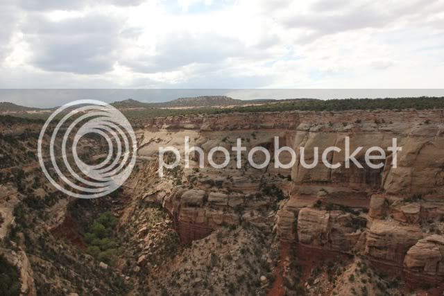
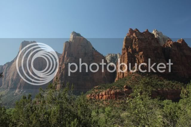
She gives in but before she can get defensive I explain, “I know they aren’t harmful. They don’t bite, sting or carry a disease unless it’s something they walked through. So, do you think someone could just give the cabin a spray so we don’t find them in our box of cereal or crawling across our faces as we sleep?” She says she’ll take care of it.

While I was doing laundry, someone came and sprayed the cabin. Whatever they used was odorless and quite effective. This morning there’s a dead, not dying, cockroach on the kitchen floor. It’s the last one we’ll see.

The rain begins to let up and Lee and I start thinking about a ride. It’s 100 miles to Mount Magazine State Park, highest point in Arkansas. The sky looks promising, but it could also be a sucker hole. We figure why not take the chance. The two routes to the park, 7 and 10 are both listed as scenic byways. If it really closes in and rains hard, we can just turn around and head back. I have no desire to ride to the summit of a 2500-foot mountain to gaze at rain from inside a cloud.

As we get ready to leave the manager and a seasonal worker stop by. They’re walking two dogs. She asks about the roaches. I tell her they’re history. She tells me last night she was awakened at 10 PM by a female camper her arrived late. In hysterics she tells the manager that her cabin is “infested.” She says she saw one and that’s it, she wants a refund and she’s leaving. She got her refund, but the manager says, “I almost told her she should talk to Mr. Doran in cabin M-2, he knows about cockroaches.” We get a good laugh at that.

It’s a short ride along the main highway and we reach the intersection with Scenic 7. The first several miles aren’t that scenic. We pass through numerous small towns with more churches than houses. Hot Springs Valley is a little more upscale with a shopping mall, gas stations, fast food and a Wal-Mart. Well, why not a Wal-Mart? After all, we are in Arkansas.

Finally the road begins to climb and twist up and over numerous hills along a tree lined passage. We cross streams, creeks and rivers with French, English and Native American names. Few people realize that President Jefferson authorized four expeditions after the Louisiana Purchase. Zebulon Pike went to the Rockies; Freeman and Custis followed the Red River. Dunbar and Hunter followed the Arkansas and Washita (Ouachita), Lewis and Clark got all the glory. Further information on Hunter and Dunbar can be found in William Least Heat Moon’s book, “Roads to Quoz.”

Near the town of Ola, we intersect with Route 10 and head west. In the town of Havana, (Is there another state with as many quaint and international names as Arkansas?) we stop at a, (What else?) Mexican restaurant, El Mariachi. Lee goes for the fajitas trios (chicken, beef and shrimp) and I choose the enchiladas supremas: beef, chicken, bean and cheese.

A few miles later and we turn onto Route 309 and the 10 miles climb to the summit. This is a great road with lots of curves and bends ups and downs. There’s nothing too challenging on this road except trying to do the posted speed limit, which is 55 mph. The best I can manage is 45 to 50. Anyone who can maintain a steady 55 is either a very good driver/rider or is well acquainted with this road.

Earlier I mentioned that Arkansas had the hills and mountains of Pennsylvania, but not the broad valleys. Boy! Was I wrong! The view from an over look near the summit explains why. This could easily swallow several Cumberland Valleys in Pennsylvania where I live.

At the park office we buy the obligatory souvenir pins and bandanas. By now I probably have enough bandanas to make a pretty decent skirt for Ann. The ranger explains that the Mountain went through several names before being officially named according to the French explorers. The name “magazine” is not for powder and ammunition, but for the shape of the mountain, which reminded them of a storehouse. (They also named the Tetons, the Tetons because they reminded them of a woman’s breasts.)

file_zpsfdd27d1a.jpg


file_zpsdabc11b4.jpg


A scenic loop takes us to another overlook with stone steps, stonewalls and stone pavers. Arkansas has diamonds and the famous whetstones for anyone who has ever wanted to put a fine edge on a knife blade.

Steep cliffs and drop-offs lie just beyond the stonewalls. Not too far from here is an authorized launching area for hang gliders. There are two gentlemen standing near a Mini Cooper. One has a spotting scope mounted on a tripod; the other has a small digital camera around his neck. One of their wives stands near the car and chats with the other man’s wife who sits inside. I have no idea whose wife is whose.

file_zpsd782bfe8.jpg


file_zps31971113.jpg


file_zps72c22c83.jpg


file_zps69cb5147.jpg


file_zps932ddf92.jpg


While Lee takes pictures I talk with the birders. The cameraman is from outside Dallas while the birder is from Little Rock. They’ve been watching geese, vultures and a lone bald eagle. A pity, because that’s the one bird Lee has really wanted to see during this trip.

As it turns out, the birder’s wife is inside the car. She tells me we should go to Eureka Springs.

“Lots and lots of hippies there. You’d like it there. Other places are full of rednecks.”

“Well ma’am,” I say. “We’re staying in Hot Springs.

“Oh that’s just fine. They got rednecks and hippies there.”

file_zps42e29766.jpg


Judging the distance I figure we have an hour and a half of daylight left and 100 miles to go. I have no desire to ride these winding roads in the dark. We say good-bye and head down the mountain. But we can’t resist stopping at one more scenic overlook.

file_zpsf0cdedea.jpg


file_zps84e9cdc6.jpg


A few miles out of town we stop for gas so we can have an earlier start in the morning. It’s nice to just load the bikes and ride out without having to stop and fill up. Tomorrow we ride into Memphis, Tennessee and then into Tupelo, Mississippi prior to picking up the Natchez Trace Parkway.

By midnight, all is quiet in the cabin, nothing is stirring, not me, not Lee not even a cockroach.

 
Hot Springs to Tupelo, 300+ miles

We get an early start and leave the KOA behind. It isn’t too long until we are once again headed east on our old friend I-40. We’ve only gone a few miles when Lee calls me on the intercom saying some of his gear is loose and needs to be tightened down. I don’t mind stopping because in my haste to leave I put on just a T-shirt under my mesh riding jacket and I’m a bit chilled. As Lee secures his duffel bags, I dig out a long sleeve, thermal shirt and put it on. All of this is done while a state trooper watches us from a dead end street near the intersection where we’ve pulled off.

Back on I-40 we are making pretty good time. The speed limit is 70 and I’ve set the cruise control to be just a tad higher than that. Cars pass us and we pass trucks. Lee likes to call it “…riding in clean air.”

We’re headed for Memphis, home of Blues, Beale, Bourbon and barbecue. Unfortunately, visiting the city will have to be set aside for another time. We’re an hour from Memphis when we start seeing signs warning us about construction. “Expect long delays! Consider and alternate route!” The electronic signs make no suggestions for alternate routes.

At the town of Hazen we exit and stop at a gas station. While drinking coffee we ponder the map. Route 70 parallels I-40 and looks like a good alternate route, but how many other drivers have the same idea? If it’s two-lane and filled with semis we might just make better time slowing for construction on I-40. We decide to gamble. We’ll continue on I-40, if it gets bad we can exit, head south a few miles and then pick up route 70. One of the workers at the station tells us that if construction is bad the vehicles are backed up all the way to this exit. We look at the interstate. Eastbound traffic seems to be moving right along. We thank him and get back on I-40.

With the exception of a few miles of single-lane, the highway is pretty much clear of construction. There are warning barrels along the shoulders, but none are placed to reduce traffic to a single lane, we roll eastward. Our main reason for continuing this way is to get across the Mississippi. There isn’t another bridge south of Memphis for quite a few miles.

My main complaint with the construction is that some of the pavement has been ground down prior to resurfacing. The result is a surface that has numerous grooves that cause the front end of my bike to shimmy. At 70 mph, I do not care for this effect. Lee doesn’t have this problem and thinks it might have something to do with the tread pattern on my tires. I keep my arms and hands relaxed to make handling easier, but the butt cheeks have a solid grip on the saddle. Lee starts singing either “Groovy Kind of Love.” Or maybe it was, “Groovin’ on a Sunday afternoon.”

Our route takes us over the Mighty Mississippi. Looking down I can see how the various docks and piers for the river barges have been extended to reach down since the river is so low from this year’s drought. Bargemen and towboat owners complain that their normal tonnage has to be cut in half so they don’t get hung up on the river’s bottom.

Entering the southern district of Memphis our Garmin GPSs disagree. Lee says we should continue on I-55 south and mine says to go straight through town. It’s confusing because we both have the same address entered into our units and the same routing suggestions: avoid tolls, ferries, seasonal roads, dirt roads, etc. We just love modern technology.

The simple solution is to pull into a gas station, we need fuel, and ask for directions. As luck would have it, there’s a Memphis policeman taking a break for coffee. I go inside to have a chat. He’s easy to spot because he’s well over six feet tall and his uniform is filled out to the max. Not from donuts and burgers, but from muscles on muscles. I approach him with my hand out and my best smile.

“I see you’re 10-7 and I hope I’m not interrupting your break.” I get a big full mouth grin of white teeth from this African American’s face. He takes my proffered hand, which vanishes inside his grip. I’m real glad he doesn’t squeeze it.

I ask whether we should go through town or take the Interstate by-pass. He says the Interstate might be faster, but it’s longer. Going through town is shorter but with traffic, might take longer.

“So, it’s six of one and two dozen of another?” I ask.

He laughs, “Yeah, it’s something like that.”

We decide to ride through town. This isn’t the greatest section of Memphis and the traffic lights aren’t synchronized. If there were 50 traffic lights on this leg of our journey, 48 of them were red when we got to them.

Finally we pick up our route to Tupelo, it’s 82 miles and at 70 mph we should be there well before sunset. But we’re both hungry and exit at an intersection that offers a wide assortment of eating establishments. Our first choice is a Burger King, but we’ve had enough fast food for the past three weeks. Normally we avoid these places on our journeys, but sometimes you just have to give in.

Pulling into the strip mall, I spot Panera Bread, it’s still a chain, but it beats the grease and fat of fast food. Then Lee spots “The Barbecue Pit” next to Panera – end of decision-making. We park the bikes and enter the restaurant. I’m not sure which hit us first, either the young waitress asking what we would like to drink over the over-powering scent of hickory smoke.

She gestures toward a table and while she gets our drinks the owner tells us in a loud voice what he has for sides. “We got collard greens, turnips, black-eyed peas, corn bread, onion rings, cole slaw, corn on the cob and fries.” Lee orders a pork sandwich and I go for a plate of ribs with beans and cole slaw. One bite into the first rib and I can see the pink line denoting how much smoke the meat has absorbed, it goes halfway to the bone. It’s delicious. It’s also layered in a mix of hot and sweet sauce that soon covers my beard and all ten fingers. I tell Lee that the box of napkins on our table will be pretty empty by the time I’m finished.

After our meal we sit at a table outside digesting our meal. We are soon joined by the owner who tells us a bit of his life story. He learned the barbecue trade from his father. His father’s philosophy was to allow his children to reach the age of 18 and then kick them out of the house within 48 hours.

“When I turned 18,” he says. “I still had three more months of high school. My father gave me a birthday card with a hundred dollars and said he was taking me out to find an apartment. He would co-sign, but I’d have to pay the rent.

“I got a job as an athletic trainer for a semi-pro football team. This was in Birmingham, Alabama. I didn’t realize that the players, coaches and staff took even splits of the ticket sales for home games. My first paycheck was for more than 32,000 dollars! I paid my first year’s rent and bought a car with that paycheck.”

I didn’t ask why he still wasn’t a trainer with the team. He went on to tell us about his seven daughters and one son who will receive the same treatment he got. When you turn 18, you have 48 hours to pack and move out. His reasoning is that at that age, no one is going to give you anything anymore. If you want something, you’ll have to earn it.

He mentions something about the upcoming election and Lee and I have no desire to get into politics; we give neutral responses and tell him it’s time for us to move on. A little over an hour later we get to our destination. Once again I miss the turn into our destination’s turn-off. The motel is on a suburban four-lane street with a wide median strip of grass flanked by cement curbing on both sides. I only see a few left hand turn lanes. It appears that most left hand turns are made from a jug-handled exit so I stay to the right. There’s a left turn lane for the motel and I sail right by it with Lee right behind me. We take the next exit and after wandering up, over and around a few side streets we get back to our motel. It’s just past 5 PM, one of our earliest arrivals.

As we enter our room I see a bright shiny penny on the sidewalk just outside of our door. It’s heads down so I don’t pick it up. That’s bad luck. Lee, however, picks it up. “A penny’s a penny,” He says. Ten minutes later while sitting outside he looks at his rear tire. The center of the tread is worn down to almost the threads. This is not good. He needs a new tire. There’s little chance that tire is going to last another thousand miles let along another hundred miles. But it’s a Monday and most motorcycle shops are closed on Mondays. This is not good.

Lee searches the Yamaha bulletin board for members who live in, or near, Tupelo. He finds someone and makes a phone call. While he talks I search the Internet to find a local dealer who might have a tire in the size he needs. The nearest Yamaha dealer is less tan five miles away, but his website seems to be oriented for the off-road crowd: ATVs and dirt bikes.

I find a Honda dealer less than three miles away. According to his website he’s open until 5 PM on Mondays. I look at my watch; it’s 6:15. I call anyway, there’s no answer. Outside, Lee isn’t having much luck. The board member recommends a top-notch dealer, but he’s about 50 miles away. I mention the Honda dealer and tell Lee that they open at 8 AM. In fact we went pretty close to their location when we missed the turn for the motel and had to backtrack.

Lee takes a chance and calls. Miraculously, someone answers. They have a tire in his size and yes; they’ll try to get to him first thing in the morning. The game is on. Lee will wake up early and head for the dealership. I’ll hold down the fort and explain to the motel manager that we might be a bit late leaving. With everything planned there’s nothing else to do, but sit back, relax and finish our stock of bourbon.

Before going to sleep, Lee mutters something about the penny. Was it bad luck or just chance? Conan the Barbarian was once asked, “Do you not fear the gods?”

“No,” he answered. “But I would not tread on their shadows.”

To be continued…

 
The alarm is set for 6 AM. It goes off and Lee springs into action. I try to catch a few more minutes of shuteye while he showers, shaves, packs his gear and gets ready to head for the Honda dealership. We do a final check of the dealer’s location and he rides off leaving me as the last member of the Foreign Legion at Beau Geste. I wish I had a root beer float. I will settle for coffee.

The manager says it’s no problem if we are delayed leaving because of Lee’s tire situation. He smiles and says we can check out at noon instead of 11. I’m sure we’ll be gone by then. Back at the room I wait to hear from Lee. Nothing.

Finally I call his cell and he tells me that they do have a tire, but he’s waiting for them to clear out their ATVs from the maintenance area so they can work on bikes. It appears they can no longer leave new vehicles outside of the building for the night. He says they should have him done within an hour.

With that said, I take a shower and sit and read until Lee comes riding up to our motel door. Less than an hour later, we’re heading less than a mile to the Natchez Trace Parkway. From our intersection it will be over 200 miles of easy riding at 50 mph through Mississippi, Alabama and into Tennessee and the outskirts of Nashville.

Three miles on the parkway we stop at a visitors center and spend some time chatting with two employees. One of them was a ranger for several years in Utah and Colorado. He highly recommends a visit to Chaco Canyon and Canyon de Chelly (pronounced “shay”). Inside I stamp my National Parks Passport and, of course, we purchase our souvenir pins.

Back outside we hop on the bikes and begin our ride north. The Parkway is two lanes with no commercial traffic. In fact, we see little traffic for the next five hours. The road surface is smooth; the trees on either side provide some comforting shade. This road does to riding what the spa in Hot Springs did to our bodies; it’s very relaxing.

There is a fair amount of history to the Trace. It’s estimated that Native Americans used this route as hunters and gatherers to almost 8,000 BC. Early settlers, “Kaintucks”, expanded and lengthened the Trace. There are still remnants of the old pathway visible from the road and for those venturous few willing to exit their vehicles and take a short hike.

At one stop we take pictures of an Indian mound. This is another mystery as to why they were built. They were not used as burial sites since no skeletons or remains have been found. Were they used for fortification, ceremonial functions, lookouts, where the elite slept? Your guess is as good as mine.

file.jpg


file-3.jpg


I try to imagine the time and effort it took to construct this simple mound using wooden sticks as spades and carry the earth in wicker baskets to be deposited. In comparison to other mounds further south or the Cahokia mounds in Illinois, this one is relatively small.

At another stop we are told that there’s a scenic overlook. A short, five-minute walk up a paved path leads to a clearing where looking east and northeast I can see over treetops to a distant ridgeline.

file-7.jpg


file-6.jpg


Every now and then our margin of trees gives way to fields of low growing crops. I’m not sure what they are. Perhaps they’re soybeans or sorghum. At one point we exit the tree-lined road and on either side of the road is vast acreage on thinly branched shrubs with white fluffy balls; it’s cotton. We stop to take pictures. Walking to the edge of the field I take the time to reach out and touch one of the bolls. With the exception of a hard center, it’s incredibly soft. Softer than the cotton balls you purchase at a drugstore.

file-9.jpg


file-8.jpg


file-10.jpg


file-12.jpg


We nip across the northwest corner of Alabama and cross the

e Tennessee River into the Volunteer state. Prior to crossing the bridge a short side road leads to the site of the Colbert Ferry, which is now a campground for bicyclists. According to the park literature, there’s a bicyclist campground every thirty to sixty miles along the Parkway. This would be a beautiful road to do it on as we have already passed several tourists on load bicycles heading south. Two-wheeled migratory humans.

After crossing the river we stop for more pictures.

file-14.jpg


A lone fisherman sits in the shade of one of bridge pilings and tries his luck.

file-15.jpg


Further north and we see and exit for the monument and burial site of Meriwether Lewis. I’ve been to his birthplace in Charlottesville, VA and now I have come to his final resting place, the alpha and omega for the leader of the Corps of Discovery. Born in 1774, he died in 1809 under what most people consider mysterious circumstances. Was it suicide, murder or assassination? He had several gunshot wounds. If it was suicide did his first shot fail and he used another pistol? Did he take the time to reload after wounding himself? If it was murder or an assassination, what was the motive? There’s no record of his having an argument with anyone at the tavern where he spent his last night. Biographers note that he suffered from depression and turned to alcohol after his return from out west. No one seems to know for sure. However, Thomas Jefferson and Lewis’s partner, Clark, both declared suicide when in formed of Lewis’s death. Lewis was only 35 when he died. The monument is of a broken pillar, symbolizing an untimely death.

file-16.jpg


In the distance is the tavern where h spent his last night.

file-18.jpg


file-22.jpg


file-19.jpg


The monument sits inside a pioneer’s cemetery. Small stone markers indicate the final resting place for others, the named and nameless.

file-21.jpg


file-20.jpg


Not too far from the monument is a remnant of the original Trace.

file-23.jpg


South of Nashville we leave the parkway and enter a world of turmoil. Bypasses, beltways, expressways, roundabouts, exit ramps and entrance ramps surround us. The highway goes from two lanes to four lanes and eight lanes and back to four. Cars and trucks cut across multiple lanes without signaling. We desperately miss the Parkway.

Our saving grace is finding Corky’s, a well-established Barbecue joint. Lee goes for the brisket and I go for half a rack of ribs done with a Memphis dry rub. Delicious.

We ride by the huge convention centers and the Grand Ol’ Opry House. Or at least that’s what the sign said. We make it to the KOA and are sent to our deluxe cabin. It is everything we need for tonight and then some.

file-1.jpg


Take care. Tomorrow we head for Lexington, KY and a night’s stay at my sister’s.

 
What a great storyteller you are!! I haven't read all the posts yet but will try to catch up this weekend... enjoying reliving some of the places I visited about a year ago on my Southwest tour... Bryce and Monument Valley were my personal highlights. Looking forward to more adventures! B)

 
The last day.

Our wake up call comes in at 7 AM. Lee and I get up and head into the lobby for breakfast. I’ve been told that it’s more than the usual continental fare. Well… maybe and maybe not.

There’s a small room adjacent to the lobby with counters on three of the walls. The first counter has a juice dispenser with orange juice, apple juice, milk and hot water. Next to it is a display case with miniature muffins, Danishes and bagels. There’s a toaster for the bagels and a small microwave for those wishing to heat their pastries. There are several bins with dispensers for cereal. The far wall has a counter with what appears to be a recycled incubator. Inside are two metal trays. One has bacon and the other has a pile of yellow disks, about 3/8 inch thick and four to five inches in diameter. These are allegedly eggs.

“How do they make eggs like this?” a woman asks.

“That’s nothing,” I say. “You should see the chickens that lay these eggs.”

“But how do they make them like this?” she asks.

I chuckle and tell her that some things are better left unknown. This gets a few laughs from the other breakfast patrons.

To the right of the incubator is a Belgian waffle maker mounted on a gimbaled hinge. To the right of that is a dispenser for the batter. There are two choices: original and blueberry. There’s also a sign explaining how to make a waffle. Spray the iron plates with a non-stick cooking spray. Add one small cup of batter, close lid and wait.

Lee tries to make a blueberry waffle. Before the waffle is done, he takes a peek. Bad idea because it isn’t done. The outer part is cooked and sticks to the iron plates; the inner half is still a gooey mass of batter and blueberry ingredients. He closes the lid and waits. A green light comes on and a bell rings. It’s done, but the instructions never mention this alarm system. Oh well…

The last wall has salt and pepper packets in a basket. There are plastic eating utensils and Styrofoam plates and bowls. We exit and find a small table for two in the main lobby. Coffee is also available in the lobby. As we eat I come to the following conclusions: the coffee is pretty good. The bacon, although thin, is crispy and not too bad, the waffles are okay as are the bagels and mini-muffins. The eggs are something else. I suppose you could replicate the taste by taking a Styrofoam plate and spray paint it yellow. Add salt and pepper to your personal tastes.

Outside the skies are overcast and low clouds cover the mountaintops and ridges. Check out isn’t until noon. With luck, most of this should burn off by the time we leave. We have just over 200 miles ahead of us, so what’s the rush?

It’s my theory that this day might be the most dangerous for people on long trips. Their minds are on home, unpacking, laundry, mowing the lawn, loved ones, paying bills, sorting through junk mail and only 1% of their mind is paying attention to the highway and traffic.

We check the weather channel. Last night’s storm was not limited to Morgantown, WV. Pittsburgh claims to have had tornadoes. Arkansas was hit with a tremendous microburst storm and gusty winds are predicted for Pennsylvania. There is a good chance of rain showers near Harrisburg. We began this trip in rain and it looks as though it will end in rain.

From time to time we look outside. The clouds are slowly lifting and we can see patches of clear sky to the west, but we’re heading east and then north. As they say, we’re going to get what we’re going to get and there’s no way around that.

At 11:30 we have the bikes loaded and roll out of the parking lot. In a few minutes we’re heading east on I-68 toward Cumberland, MD. From there we’ll pick up I-70 and then I-81 north to home. I turn my iPod on and hear the Beatles, “Good Day. Sunshine.”

No one on I-68 is capable of maintaining a constant speed. The limit is 65 mph, but no one pays that any mind. The car you’re following might be doing 68 and you think, "I’ll just stay behind him." Then he slows to 54 and you try to pass, but then he accelerates to over 70. It’s a bit frustrating, but every mile covered is a mile closer to home.

We take a break at the Sideling Hill cut and walk across the interstate to take a few pictures.

file-1.jpg


file-3.jpg


The pedestrian bridge has a chain link fence on both sides. It curves up and partway over the sidewalk to prevent people from throwing anything on the cars. Midway across the bridge there are several vertical openings that allow you to take unobstructed pictures of the cut and the highway. If anyone tried to drop something through one of these openings it will land on the medial strip. I suppose one could manage a hook shot to hit the highway, but Big Brother will be watching you.

file-5.jpg


file-2.jpg


We know we’re back north again as the leaves have begun to turn.

file-6.jpg


We continue east to Hagerstown and turn north on I-81, the homestretch.

Lee needs gas so we exit at Chambersburg. Immediately we find ourselves in a construction zone. Pennsylvania only has two seasons: winter and construction. I decide to make the final run from Morgantown on a single tank of gas. The GPS says it’s less than 60 miles to home and the bike’s computer says I’m good for another 90. While Lee fills his tank I look down on the dash of the RT, I see a couple of stinkbugs. Yep! We’re back in Pennsylvania.

Getting back onto I-81 is another trying experience. There should be three lanes of travel, two going east and a third for left hand turns onto the interstate. Instead, all three lanes converge into one. Two highway workers with orange flags are attempting to sort things out. The 18-wheeler in front of me blocks any view I might have as to what is going on. Eventually we have the go ahead from a flagger and roll up the ramp to merge with I-81 north.

I have driven this stretch of road numerous times and for 45 miles it seems to be the longest stretch of road in the world. It seems even longer today, not because we’re so close to home, but because there is an endless line of semis reaching to the horizon. Strong gusts of wind from the west don’t make it any easier, but it isn’t raining and every milepost we pass means we are making progress.

Riding through Carlisle I turn off to take some back roads home. Lee and I say our good-byes on the intercom. It’ll be strange not seeing his bike in my rearview mirror after 6,000 miles. He gives a parting wave as I ride down the exit ramp. “Adios, amigo! Via con Dios.”

The last ¾ mile home is my driveway. It’s stone and gravel and was recently graded. I have a bad thought that with my luck I’ll drop the bike along the way and end up walking to the house. Today, Mr. Bad Luck is somewhere else. Paul Simon is singing “Kodachrome.”

“I’ve got a Nikon Camera

I’d love to take a photograph…”

When we visited the Colorado National Monument I came across five young ladies with long burgundy dresses and black bonnets. They were in a rental van and had stopped as this overlook to take pictures. I offered to take a picture of all of them with their camera. After the typical tourist poses I asked if they were Mennonites.

“No,” they answered. “We’re Amish.” It turns out that they’re from Ohio. I gather the Ohioan Amish are a bit more liberal than the old-order Amish I’ve seen in Lancaster County, PA. When I asked what brought them to Colorado, they told me.

“Our men are here hunting so we decided to fly out here, rent a van and surprise them at their hunting camp.”

“Were they surprised?” I asked.

“You should have seen the looks on their faces when we drove up to their camp and we stepped out from behind their tents.”

“Are these men your husbands?” I got a chorus of “No.”

“Boyfriends?” This time I got giggles. I began to draw my own conclusion at this point.

While their “men” were hunting they were sightseeing. I recommended the Black Canyon of the Gunnison for their next day’s tour. They thanked me, got into their rental van and drove off.

There are no pictures of that encounter, just a story.

Riding up the final hill I begin beeping the horn. As I pull up in front of the house, Ann comes out on the deck waving me into the garage. I can see several of our cats racing away across the lawn. “Who the hell is that?” they ask.

Inside the garage, the side stand goes down, the engine turns off, the Motolights and ignition are turned off. The helmet comes off and I come off the bike. Hugs and kisses from and to Ann. It’ll be strange not getting up tomorrow to pack the bike and head somewhere else. In the back of my mind I can hear Utah Phillips,

Oh, I will go up and down the country and back and forth across the country.

I will go out West where the states are square.

I will go to Boise and Helena, Albuquerque and the two Dakotas

And all the unknown places.

Home is the rider, home from the road. This is one, big-ass country and there’s a lot to see. It doesn’t have to be a journey of six thousand miles; it could be six hundred, sixty or six. There are so many places to see and so many people to meet. The places have their history and the people have their stories to tell. We need to make and take the time to go, to stop, to look and most important, to listen.

For those of you who followed our travels and enjoyed the readings, thanks for coming along.

 
Ooops! Somehow I forgot to submit the journey from Nashville to Lexington to Morgantown. My apologies, Chris

Day 25 and 26 Nashville, TN to Morgantown, WV

I could easily exhaust myself of superlative adjectives describing the KOA at Nashville. If there’s any negative comment, it’s the location. Very close to a major by-pass. Since I live in Pennsylvania, the sound of road noise is a lullaby that puts me to sleep. Ask anyone who’s hiked the AT, through PA and they’ll tell you the same thing.

The manager for the Hot Spring, AR KOA mentioned that the honchos at corporate are planning to revamp the entire KOA system into three tiers: KOA Resorts, KOA Express and your plain ol’ KOA. If there’s a prototype for a KOA resort, this is it in the city of music and the Grand Ol’ Opry.

All of the access roads inside the campground are paved. It appears that every campsite has a cement patio with furniture and a fire ring.

The swimming pool is huge.

file-4.jpg


There’s a wading pool and playground for the kiddies.

file-10.jpg


file-9.jpg


Outside of the main lodge you can choose, bowling,

file-5.jpg


Chess or checkers.

file-6.jpg


The main lodge itself is quite large (huge).

file-7.jpg


In addition to the usual assortment of over-priced food and camping items, they also had a good assortment of candy for those of us who can remember: button candy, Bonomo’s Turkish taffy, Sugar Daddys and Skybars.

Beyond the check-in desk is a large lounge area with a pool table and card tables. In one corner of this room three full-sized, leather sofas form an open square facing a flagstone fireplace. Above the mantel is a large, flat-screen television. The desk clerk tell me that in the near future they plan to add a fitness center, hot tubs and to make sure all campsites have a patio.

Lee took some interior pictures of our Deluxe cabin.

file-11.jpg


file-12.jpg


file-13.jpg


He also got a picture of the doggie playground.

file-14.jpg


It’s quite a set up and I’m sorry we only spent one night there.

In the morning we go through, at is now second nature, our loading process. We are now headed for Lexington, KY to spend a night at my sister’s. There isn’t too much to say about our journey other than it was all interstate with a smattering of construction thrown in for good measure.

Our one moment of excitement occurred halfway to Lexington. The two of us are coming to the crest of a hill. Lee is in the passing lane and I am behind a lowboy 18-wheeler, which I am about to pass. There’s an overpass at the top of this hill. Just beyond that point in the slow lane we see safety cones and triangles out in the lane. Beyond these markers sits a 30-foot delivery truck. He is perpendicular to the slow lane and his rear wheels have gone off the road. They are hanging into nothing so the chassis is on the shoulder and pavement. There are two oriental gentlemen standing leisurely on the inbound side of this truck. The semi locks his brakes. I hit mine and Lee hits his thinking the semi is going to come over. Lee drops the hammer allowing the semi to move over and I continue to slow down until I can cut in behind the semi and eventually rejoin Lee.

Other than the usual pucker factor and “Whew! That was close!” expressions we try to figure out how he got that way. It looks as though he was trying to make a 3-point turn and in the process dropped the back wheels over the banks. This will definitely be listed in our WTF encounters for the past three weeks.

Our first goal is to visit the Woodford Reserve Distillery in Versailles, Ky. It’s pronounced “Ver-sales.” We thought we were getting there just after four. They close at five. We forgot about the time zone. We lost an hour. It’s after five and the sales ladies are just leaving as we pull into their visitor’s lot. But since it’s only 20 minutes from my sister, we’ll see them in the morning.

We arrive at my sisters a little after 6 PM. My brother-in-law, Dan and niece, Katie Rose, are there to greet us. A few minutes later my sister, Lisa, shows up. After a beer and some “getting to know each other” conversation we head out for dinner. It will be our treat since they are being kind enough to sleep at their house.

Dan is an amazing food finder. Having been to Lexington several times I can’t remember ever going to a bad restaurant. Each time I’ve visited it’s always been a different place and it’s always awesome. Tonight we go to Ramsey’s. Dan has recommended a local fare known as a Hot Brown. Essentially it’s bread, or Texas toast, covered with layers of turkey, slices of tomatoes, melted cheese and topped with strips of bacon. Anyone over the age of 60 who orders one of these needs a permission slip signed by their cardiologist. (Google “hot brown sandwich” and you’ll see what I mean.)

After dinner we go back to their home and sip bourbon and listen to Katie Rose tells stories about her semester in New Zealand and her most recent visit to England and Wales. Before we know it, it’s bedtime. I get the sofa bed and Lee has a mattress on the floor. In the morning Lisa will leave for work by 7, Dan has to be leaving for Nashville and Katie Rose has the day off. Lee and I have a date with a distillery.

I wake up in time to see my sister off to work and visit with Dan until Lee wakes up. Dan leaves and then Lee and I say our goodbyes to Katie Rose and head back to the Woodford Reserve Distillery.

If you have a penchant for small batch, Kentucky Bourbon, it doesn’t get much better than this.

file-10.jpg


file.jpg


Since 1812 this facility has produced some of the finest sippin’ bourbon in the Bluegrass State. No doubt there are some who would argue that there are better brands, but all would agree that this brand is right up there.

Inside we purchase our bourbon and souvenirs. Lee opts not to take a tour of the distillery, but patiently waits while a sales clerk goes to the storage room in the basement to find a T-shirt in his size. I sit outside and have a lovely chat with a lady from Illinois. I also take some time to walk around and take a few pictures. The last time I was here, Ken Burns has his videographers getting footage in the bottling room. I believe this may appear in his documentary on Prohibition.

file-1.jpg


file-2.jpg


file-3.jpg


file-4.jpg


file-5.jpg


file-6.jpg


file-7.jpg


Some of you may ask why spend time going to the distillery to buy a bottle when you can get it at most liquor stores? Bragging rights is all I can say.

Across the road from the distillery I find an old cemetery. One of the guides tells me that when Elijah Pepper owned the land he had the Shaw family take care of his cattle. This is the Shaw’s family cemetery. There are at least 22 family members buried here. The cornstalks on the pillars are in recognition of corn’s role in producing bourbon.

file-9.jpg


file-8.jpg


I joke with some other motorcycle riders that no matter what, I will find space in my bike for my liter of bourbon. If they find a pile of stuff in the parking, they’ll know how I made room for it. This gets a good laugh. Surprisingly, I place it in the top case and the lid closes easily. Some days you get lucky.

This is horse country and we can’t pass up the opportunity to stop and take a few more pictures.

file-14.jpg


file-12.jpg


file-13.jpg


Luck, however, is fleeting. We make pretty good time heading east into West Virginia. All day the skies have threatened us with rain. We’ve had a few light sprinkles, but nothing serious.

Close to the West Virginia border the clouds are darker and look as though they mean business. I put my rain jacket on and figure it can’t rain that hard that I’ll want my rain pants on. Wrong!

30 miles from Morgantown it begins to really rain. We stop for gas. It’s getting darker. 15 miles from our motel and it begins to pour. Cars slow down and put their four-way flashers on, Lee and I do likewise. At times it gets so bad that I can barely see the dotted centerline and the solid shoulder line. I follow the flashing red lights of the car in front of me and hope he isn’t taking an exit. Lee follows me and thinks likewise.

We reach the exit and as we cross over the interstate we are met with a huge flash of lightning followed immediately by a tremendous clap of thunder. We can see the lights of our motel. Dripping rainwater from our helmets, gloves, boots and gear we walk in and register. We find our room and carry our gear inside. There are two queen-sized beds, the bathroom has a coffee maker and hair dryer, (the night clerk is kind enough to give us extra packets of coffee), there’s an ironing board with an iron, the Internet service is pretty fast, breakfast is included and it’s not your usual Continental fruit and cereal fare, we get eggs, sausage, bacon, waffles, muffins and biscuits. Check out is at noon, not eleven. It’s a Comfort Inn. Well named, I say.

Tomorrow we have a 200-mile to home tomorrow. The weather forecast for Morgantown calls for sunny skies. For Harrisburg, it looks like rain. Well, we began this trip with two days of rain; we may as well end it with two days of rain.

 
Great RR! Thanks for sharing the story and for inspiring us to hit the road. :good:

 
Top