Bugnatr
Well-known member
Two of my favorite motorcycle roads are within a day ride from home, so with a break in the weather I figured I'd ride one last time before old man winter really sets in. The route is best to ride up Hwy 70 along the Feather River to Quincy for lunch and back home via the hwy 49 along the Yuba River.
https://www.google.com/maps/dir/Peardal ... 910058!3e0
Both these roads are motorcycle nirvana, Hwy 70 being more flowing and a faster average speed with some wonderful sweepers and even a few tunnels too. Hwy 49 is tighter and the more technical of the two which brings out the best in my supermoto however being winter and all I opted for the Wing with the heat and better weather protection. Good thing as Quincy was cloudy and temps were close to freezing at Yuba Pass. More on that later. BTW all pictures were taken on the fly, stopping is not an option.

The sad part of this report is the fact that a portion of Hwy 70 is in the Camp Fire burn area. FYI the Camp Fire was in November and burned over 18,000 structures and killed 86 people, most of that happen in the first 4 hours as a firestorm. I have no desire to seek out this destruction but it was part of the route.
Just one of the many of the destroyed homes along the highway, hurts to see this.
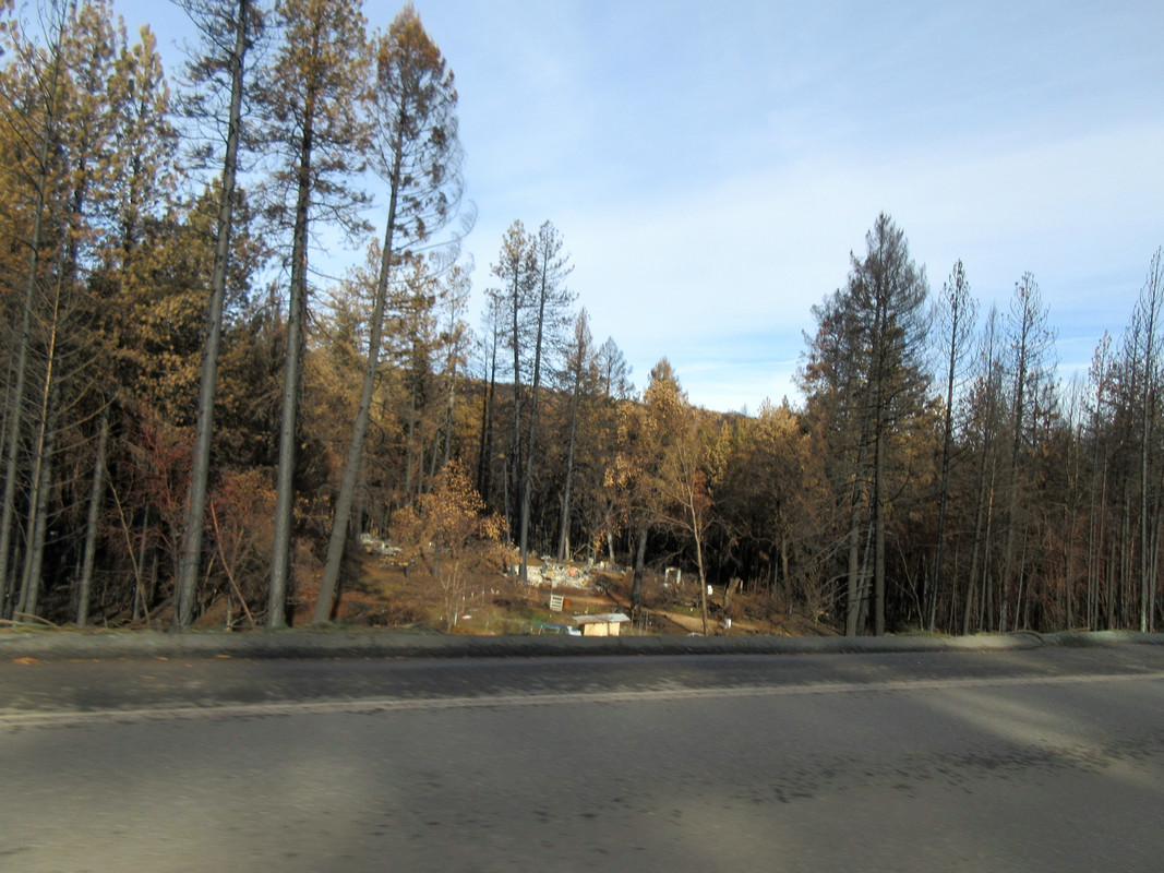
The state is spending big bucks removing the dead and hazard trees along the highway plus lots of hydro seeding to help stabilize the burn areas during our winter rains.
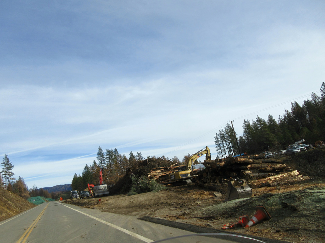
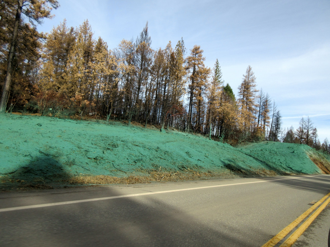
One last shot of the burn, that is the highway in the distance before it drops down along the river. You can see it burned up both sides of the canyon.
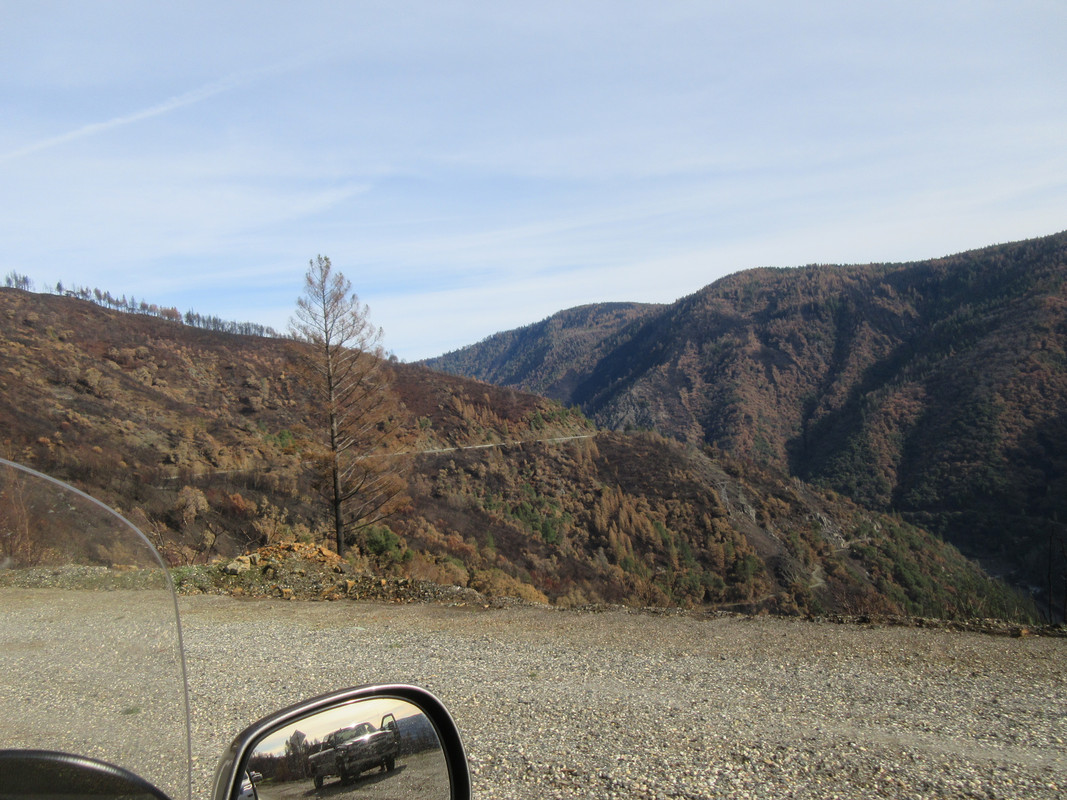
With 3 separate construction zones I was finally through the worst of it and onto a better pace. One fascination of the canyon is the Southern Pacific rail line that follows the canyon with the highway on one side and the tracks on another. Some cool bridge work in places.
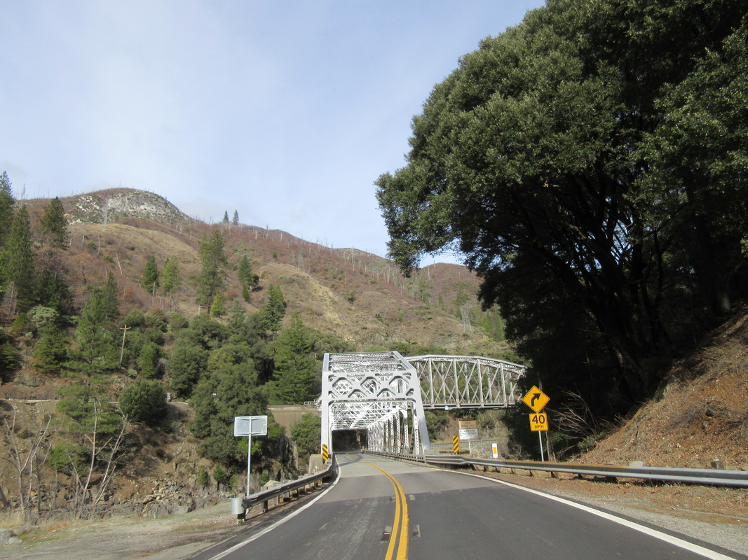
Not too bad for a over the shoulder shot in a corner.
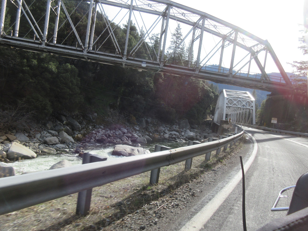
Hey what's up with the clouds on the hill? At least it's not down here.
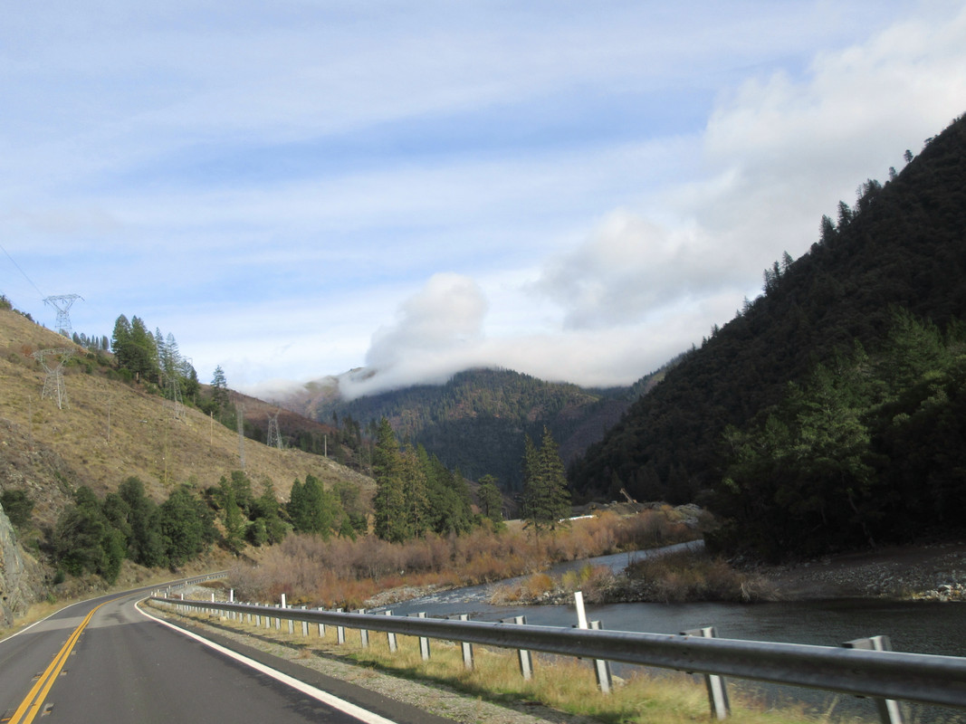
After a very tasty lunch in Quincy the sun kind of came out and temps were in the mid 40's at 4,000 feet. Most of the cattle grazing here in the summer have been moved to lower elevation and greener pastures.
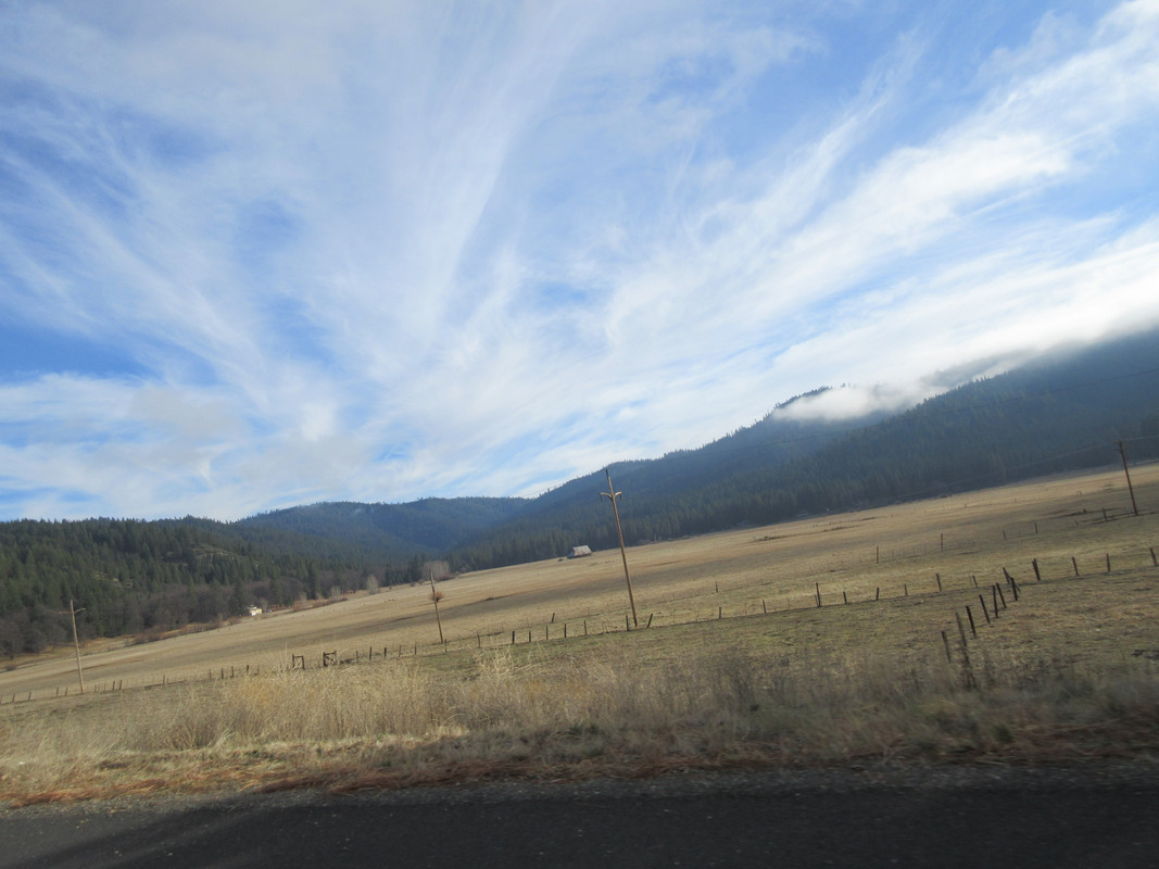
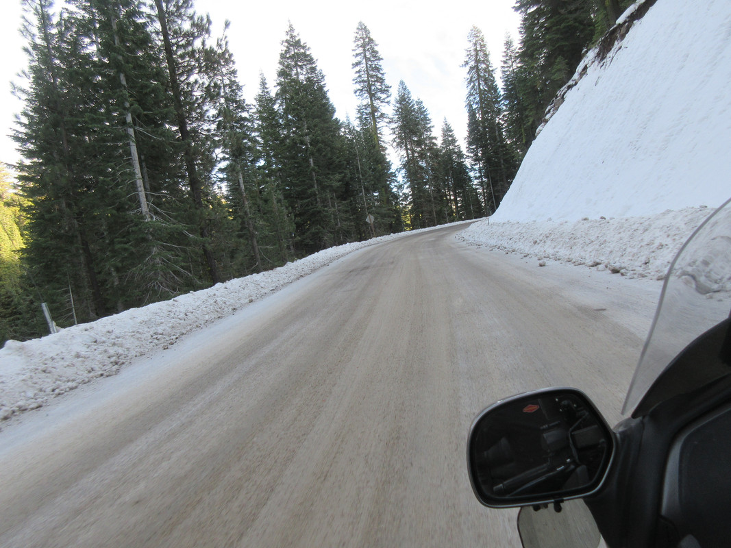
By now I had made the right turn on Hwy 49 off 89 and needed to ride over Yuba Pass. At only 6,700 feet it's not all that high but has some real shady spots on the eastern side. Lucky for me the road dept is generous with the sand. With a mud and snow ct on the rear plus 900 lbs of traction giving weight, the Hippo made it a breeze albeit at 35 degrees it was a bit chilly.
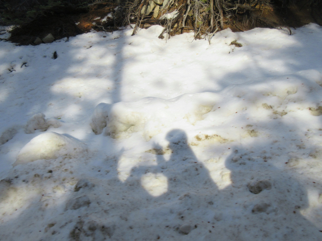
I have many shadow pictures from the FJR and Hippo out in the desert etc but this is a first on snow.
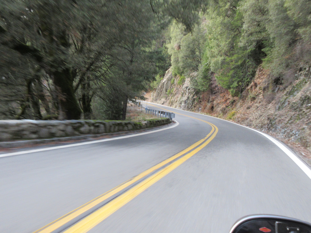
Hwy 49 along the Yuba River kept me busy but I did grab a couple pictures on the way home. Wishing I was on the KTM about now.
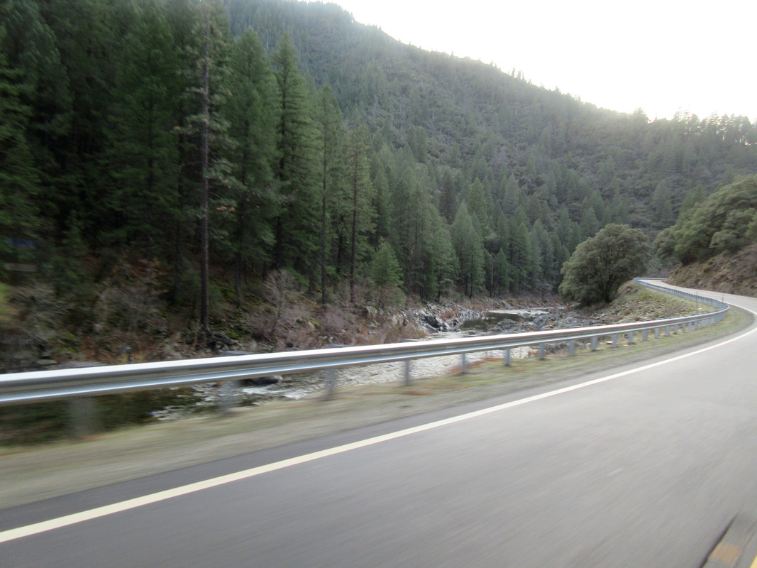
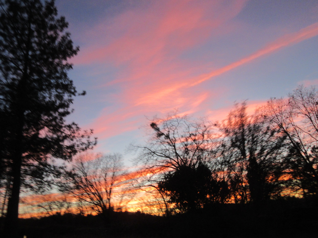
Crappy picture-no stopping, right? Lately we have been having some very colorful sunsets and today did not disappoint me at all. Great way to end a winter ride.
https://www.google.com/maps/dir/Peardal ... 910058!3e0
Both these roads are motorcycle nirvana, Hwy 70 being more flowing and a faster average speed with some wonderful sweepers and even a few tunnels too. Hwy 49 is tighter and the more technical of the two which brings out the best in my supermoto however being winter and all I opted for the Wing with the heat and better weather protection. Good thing as Quincy was cloudy and temps were close to freezing at Yuba Pass. More on that later. BTW all pictures were taken on the fly, stopping is not an option.

The sad part of this report is the fact that a portion of Hwy 70 is in the Camp Fire burn area. FYI the Camp Fire was in November and burned over 18,000 structures and killed 86 people, most of that happen in the first 4 hours as a firestorm. I have no desire to seek out this destruction but it was part of the route.
Just one of the many of the destroyed homes along the highway, hurts to see this.

The state is spending big bucks removing the dead and hazard trees along the highway plus lots of hydro seeding to help stabilize the burn areas during our winter rains.


One last shot of the burn, that is the highway in the distance before it drops down along the river. You can see it burned up both sides of the canyon.

With 3 separate construction zones I was finally through the worst of it and onto a better pace. One fascination of the canyon is the Southern Pacific rail line that follows the canyon with the highway on one side and the tracks on another. Some cool bridge work in places.

Not too bad for a over the shoulder shot in a corner.

Hey what's up with the clouds on the hill? At least it's not down here.

After a very tasty lunch in Quincy the sun kind of came out and temps were in the mid 40's at 4,000 feet. Most of the cattle grazing here in the summer have been moved to lower elevation and greener pastures.

By now I had made the right turn on Hwy 49 off 89 and needed to ride over Yuba Pass. At only 6,700 feet it's not all that high but has some real shady spots on the eastern side. Lucky for me the road dept is generous with the sand. With a mud and snow ct on the rear plus 900 lbs of traction giving weight, the Hippo made it a breeze albeit at 35 degrees it was a bit chilly.

I have many shadow pictures from the FJR and Hippo out in the desert etc but this is a first on snow.

Hwy 49 along the Yuba River kept me busy but I did grab a couple pictures on the way home. Wishing I was on the KTM about now.


Crappy picture-no stopping, right? Lately we have been having some very colorful sunsets and today did not disappoint me at all. Great way to end a winter ride.


