Cav47
Adventure Seeker
As the other thread topic illuminated, my 15yr son and I took a trip out west for basically the fun of it. I have spent a lot of time being parents to the kids I have coached over the last almost 20 years. I was done with my masters classes wrapped up for the summer and we had about a three week window before football started for him.
Some of the Numbers taken from the GPS that I zeroed out just before the trip
6937 total miles
101 Max Speed
112:38 Hours
We had a loose plan with only a few "have to" do things. One was meet my brother and his son at Yosemite. The other was hit the Olympic peninsula for a colleague of mine.
I wanted to get Connor some of the required driving hours he has to have for his permit, but many of the places we were driving are not conducive to surviving a mistake on his part. Kansas on the way out there and Iowa on the way home allowed him plenty of Interstate time. Most of the trip went like this
Can we go here??
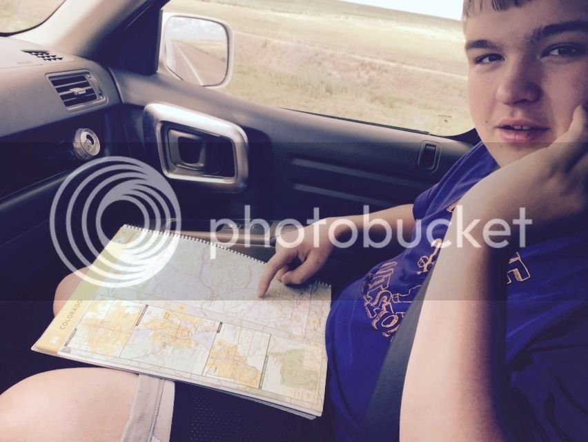
Yes, we used a combination of paper maps, GPS, and Iphone directions. I thought it wise to familiarize him with the art of navigation via a real map in case the electronics went away.
We left around 5:15 Central Time and headed to Colorado Springs. Cheyenne Mountain State Park was our destination. Just about 1050 miles. We made great time averaging about 74 MPH that included all stops.
It was getting dark as we headed up the hill to the campsite we had reserved about 2 weeks before.

After setting up and getting some firewood, it was exactly has we had hoped for.

This is his best "salut" with a diet root beer.
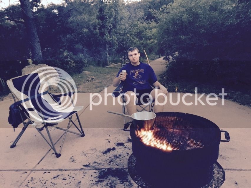
I know he prob was a little annoyed by all the picture taking by his dad. Especially since most 15 yr old boys are still somewhat shy and put off by photos, but I wanted to be able to remember this and share it with his mom too.
Gourmet meal of TOP RAMEN cooked over a campfire. Not the best, but we both like it and it is very cheap. It certainly helped us keep our daily costs down.

We slept great and got up early for the short drive over to Pikes Peak.

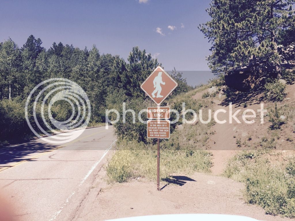
Sasquatch sign.....................Inside joke here.
His first real look at some mountains.

Little bit different to see this stuff in July
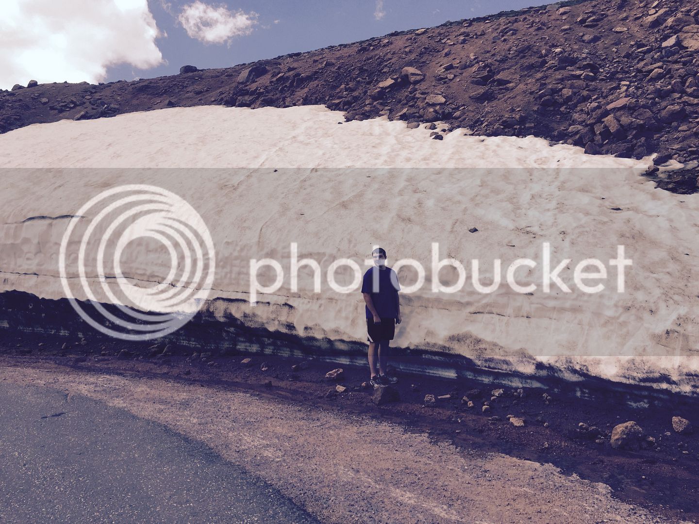
Like I said, Not the safest place to teach someone to drive. Looking back down from about halfway up the hill.


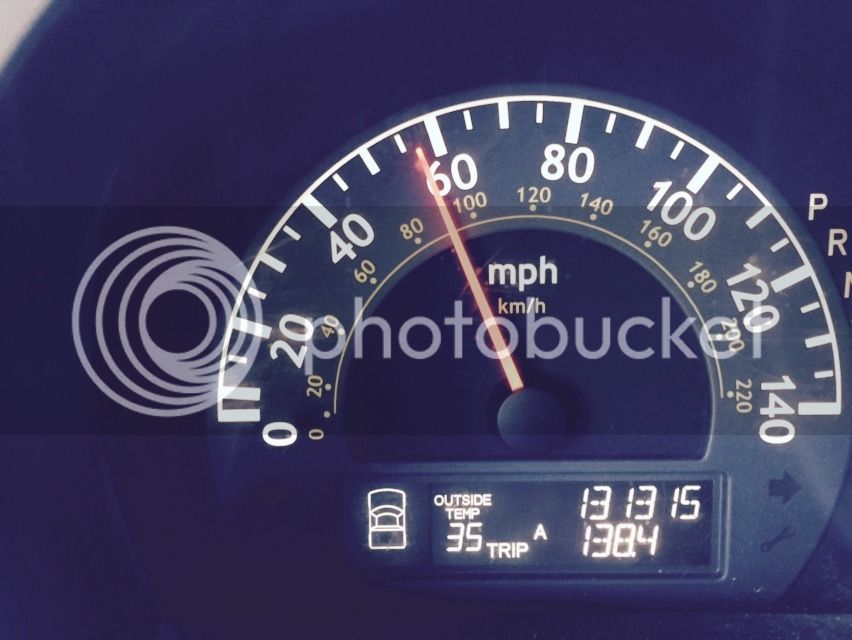
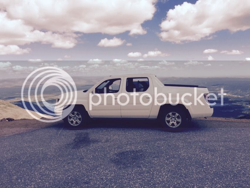
This is our ride for the trip. Just before we started, she clicked over 130K. Some of those miles have been very hard ones pulling trailers and hauling lots of home improvement material. Prob will be Connor's truck in a few years when the new ones come out. Happy to report, she never hiccuped once the whole trip.
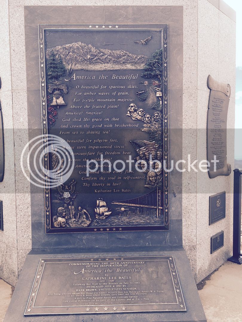
Up top on one of the Memorials.
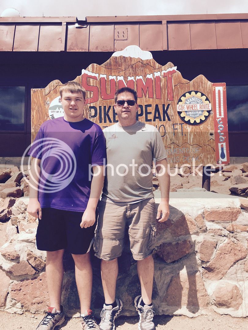
Some various shots.

This guy is insane.


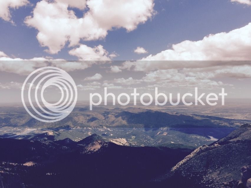
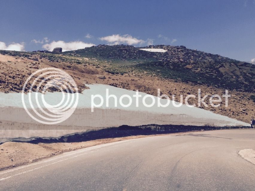
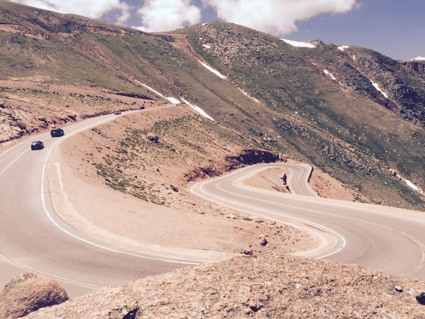
Obligatory food pic. Notice his is gone already. Food in Buena Vista

Gunnison

Rain Clouds were where we were heading.

Coming into Ouray
Looking for a campsite was not easy. Almost everyone was full.

Start of the Million Dollar Highway??
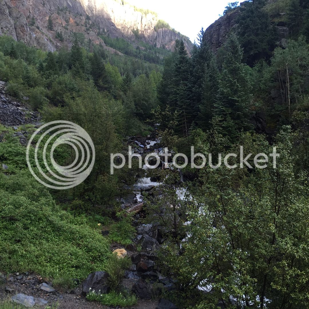
We drove up here looking for a Boon Dock Camp Site. It quickly turned to more than the Ridgeline could handle this far from home.
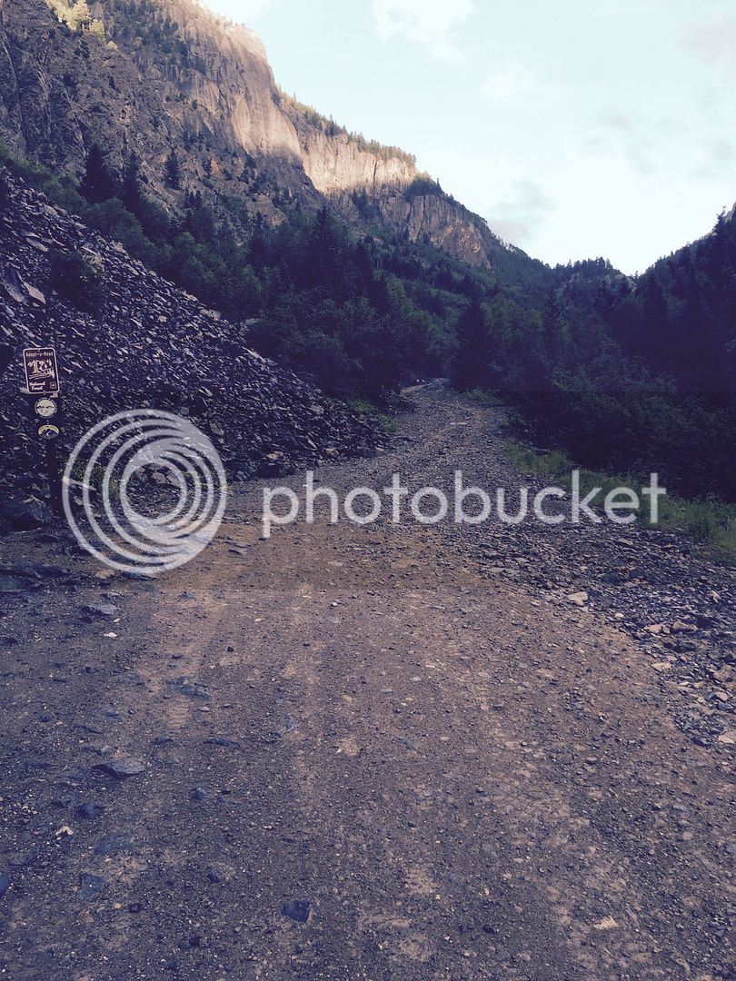
The black thing in the middle is a bear. He was just across the road from a "full" campground. Speaking of "full" campgrounds, I have a tirade about that. When someone just needs a 9x9 spot for their tent,(no water or electricity needed) and there is plenty of space available, why don't they just let me pay the 20 bucks. Camp and Dash is what we are looking for.

Glad they turned us away, because this is what we found for FREE. San Juan Mountains just along Mineral Creek. Just North Silverton. Highly recommended. There was a vault toilet there also. Pants, make sure you seek this one out.
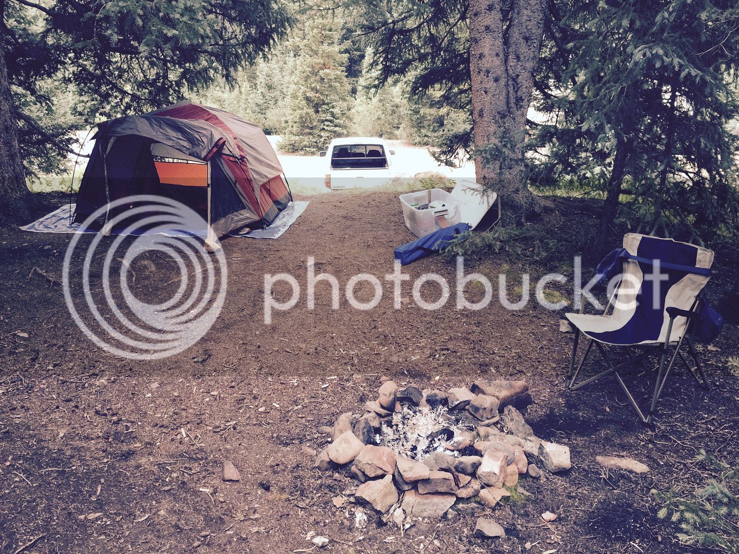
We had company, but there was plenty of space around and the road getting in was easily navigable by a FJR.
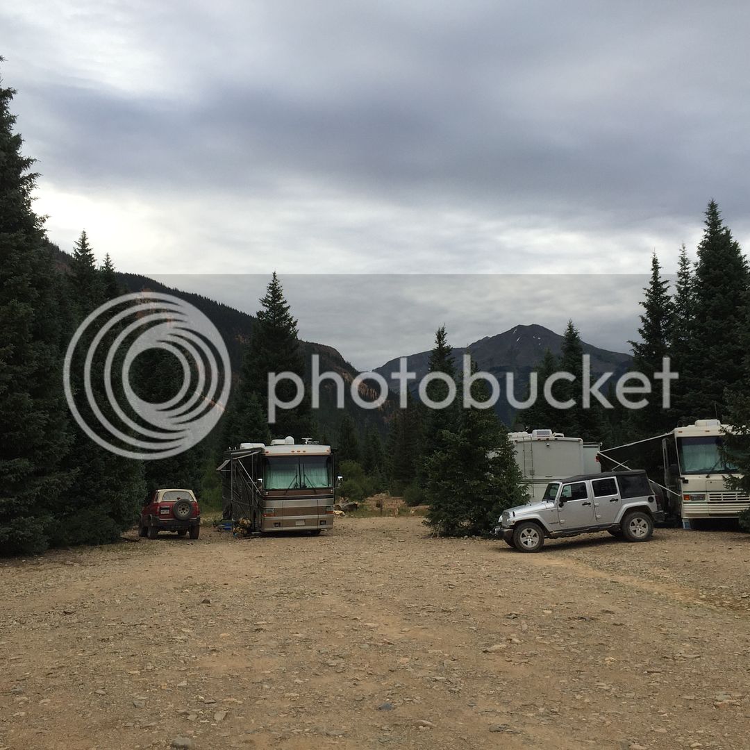

I think this place was around 9600 feet up and the only trouble was getting the water to boil for the TOP RAMEN.
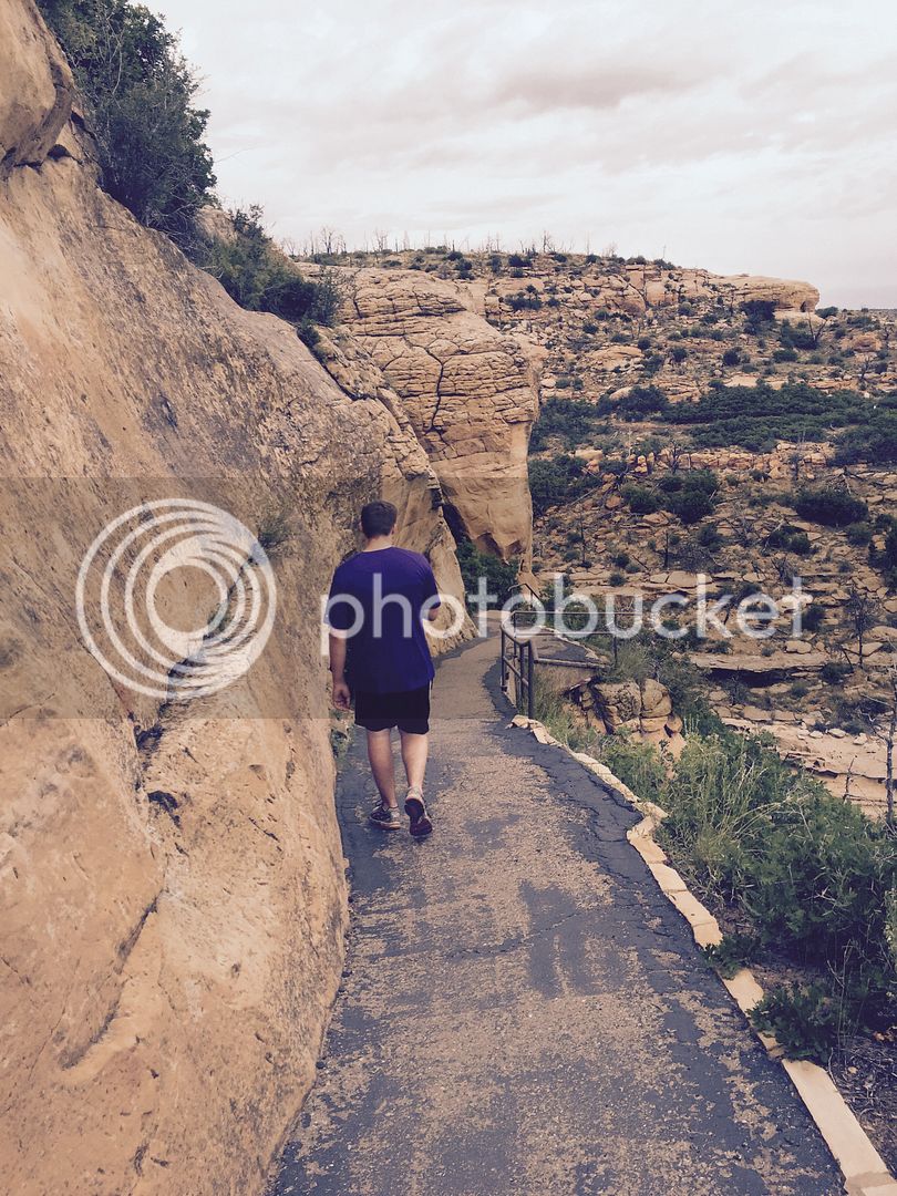
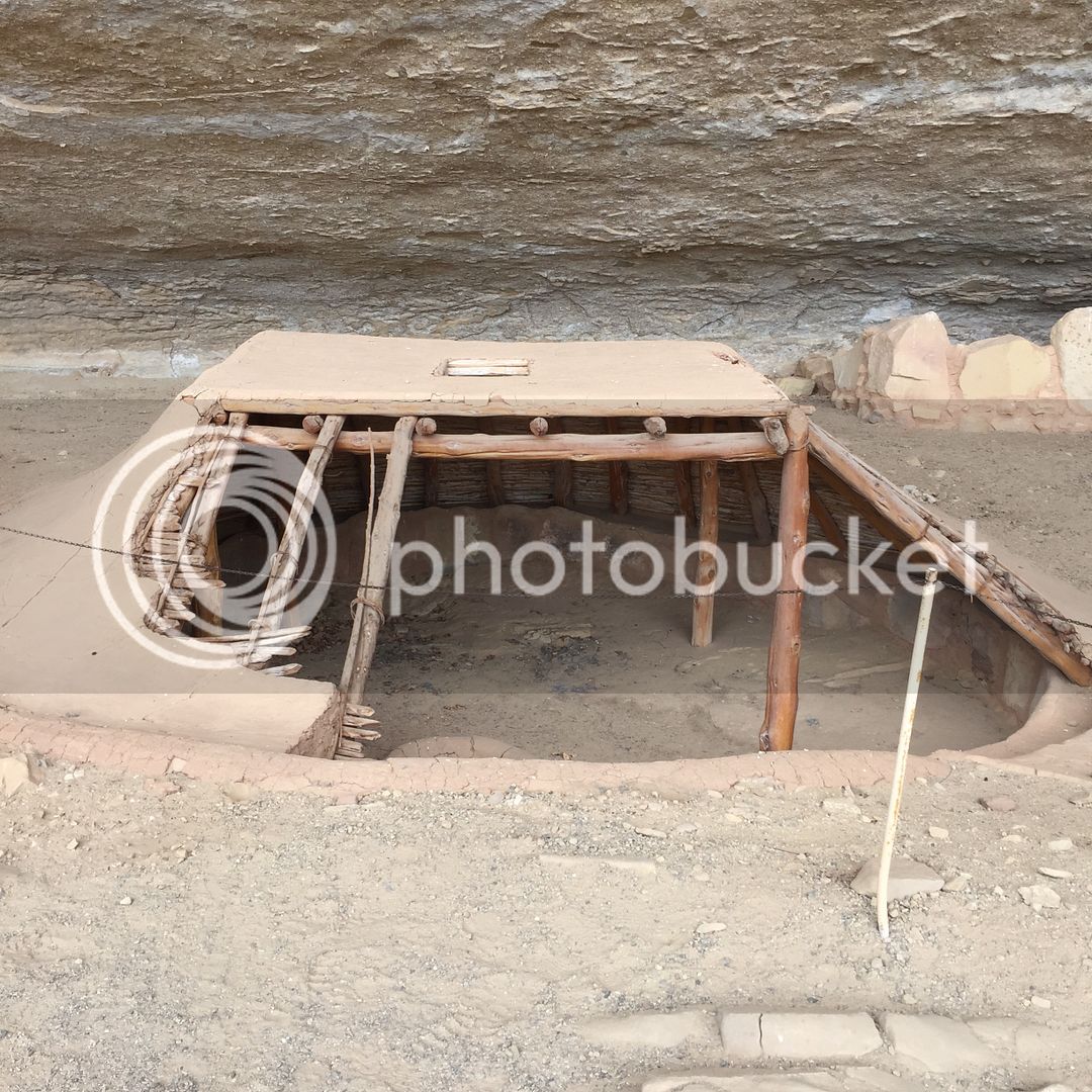
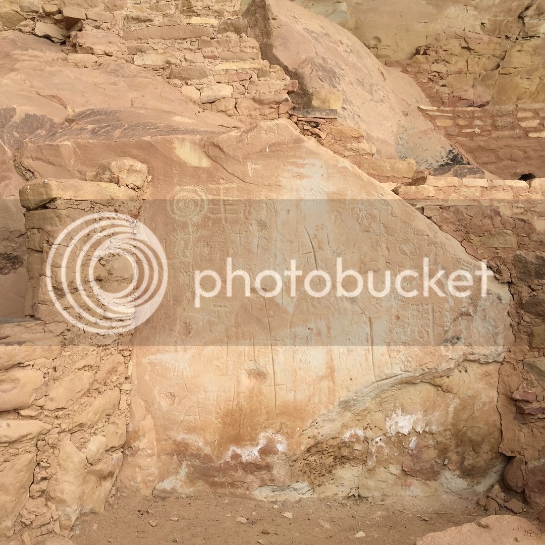
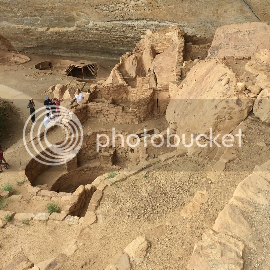
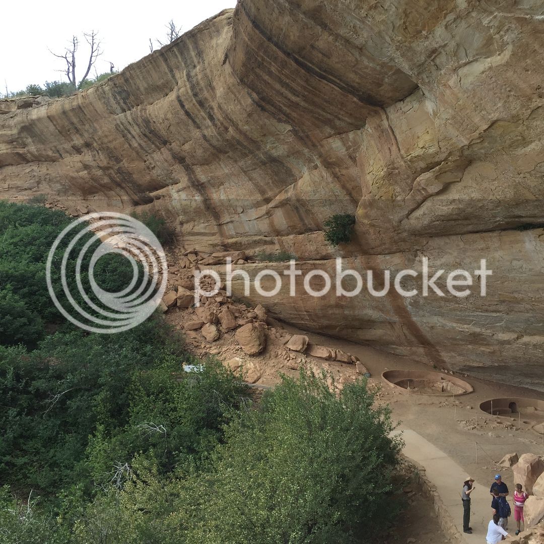
Mesa Verdi up Next.
Some of the Numbers taken from the GPS that I zeroed out just before the trip
6937 total miles
101 Max Speed
112:38 Hours
We had a loose plan with only a few "have to" do things. One was meet my brother and his son at Yosemite. The other was hit the Olympic peninsula for a colleague of mine.
I wanted to get Connor some of the required driving hours he has to have for his permit, but many of the places we were driving are not conducive to surviving a mistake on his part. Kansas on the way out there and Iowa on the way home allowed him plenty of Interstate time. Most of the trip went like this
Can we go here??

Yes, we used a combination of paper maps, GPS, and Iphone directions. I thought it wise to familiarize him with the art of navigation via a real map in case the electronics went away.
We left around 5:15 Central Time and headed to Colorado Springs. Cheyenne Mountain State Park was our destination. Just about 1050 miles. We made great time averaging about 74 MPH that included all stops.
It was getting dark as we headed up the hill to the campsite we had reserved about 2 weeks before.

After setting up and getting some firewood, it was exactly has we had hoped for.

This is his best "salut" with a diet root beer.

I know he prob was a little annoyed by all the picture taking by his dad. Especially since most 15 yr old boys are still somewhat shy and put off by photos, but I wanted to be able to remember this and share it with his mom too.
Gourmet meal of TOP RAMEN cooked over a campfire. Not the best, but we both like it and it is very cheap. It certainly helped us keep our daily costs down.

We slept great and got up early for the short drive over to Pikes Peak.


Sasquatch sign.....................Inside joke here.
His first real look at some mountains.

Little bit different to see this stuff in July

Like I said, Not the safest place to teach someone to drive. Looking back down from about halfway up the hill.


This is our ride for the trip. Just before we started, she clicked over 130K. Some of those miles have been very hard ones pulling trailers and hauling lots of home improvement material. Prob will be Connor's truck in a few years when the new ones come out. Happy to report, she never hiccuped once the whole trip.

Up top on one of the Memorials.


Some various shots.

This guy is insane.


Obligatory food pic. Notice his is gone already. Food in Buena Vista

Gunnison

Rain Clouds were where we were heading.

Coming into Ouray
Looking for a campsite was not easy. Almost everyone was full.

Start of the Million Dollar Highway??

We drove up here looking for a Boon Dock Camp Site. It quickly turned to more than the Ridgeline could handle this far from home.

The black thing in the middle is a bear. He was just across the road from a "full" campground. Speaking of "full" campgrounds, I have a tirade about that. When someone just needs a 9x9 spot for their tent,(no water or electricity needed) and there is plenty of space available, why don't they just let me pay the 20 bucks. Camp and Dash is what we are looking for.

Glad they turned us away, because this is what we found for FREE. San Juan Mountains just along Mineral Creek. Just North Silverton. Highly recommended. There was a vault toilet there also. Pants, make sure you seek this one out.

We had company, but there was plenty of space around and the road getting in was easily navigable by a FJR.


I think this place was around 9600 feet up and the only trouble was getting the water to boil for the TOP RAMEN.
Mesa Verdi up Next.


