On Saturday, 7/05/08, I had the rare opportunity to go for a motorcycle ride.
I headed east to higher elevations, hoping to escape the heat of the valley.
I had no real plan in mind at first, and after running up Hwy. 50 and getting off
at the Sly Park exit, I figured I'd best come up with something.
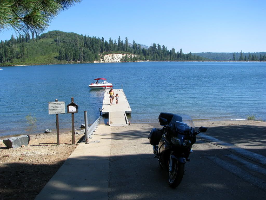
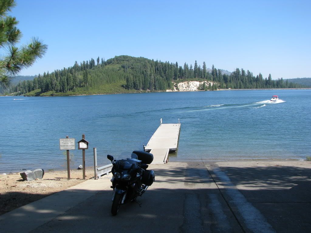
Why not find a mountain lake and hang out - on the boat ramp - and take some pictures?
But why hang out? Why not just run all over the Sierras, to a bunch of different lakes, and
get shots of the boat ramp at each one?
A crappy plan perhaps, but I had a load of fun doing it.
I'll note the elevation of each lake as I add them to the list.
Here we go.
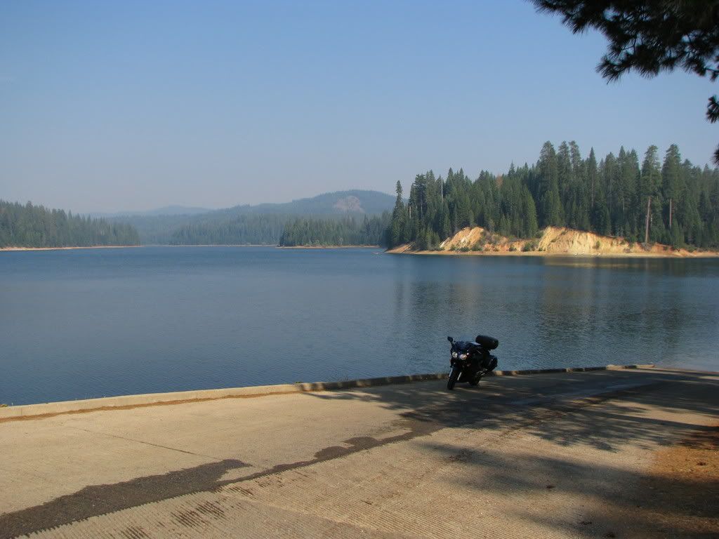
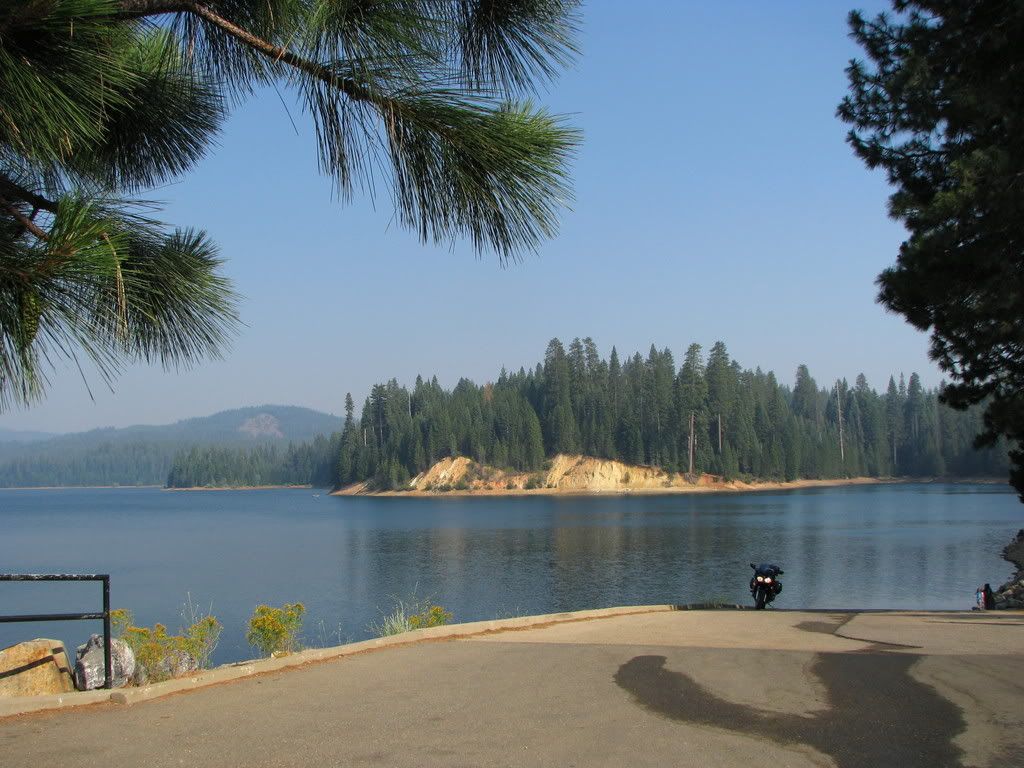
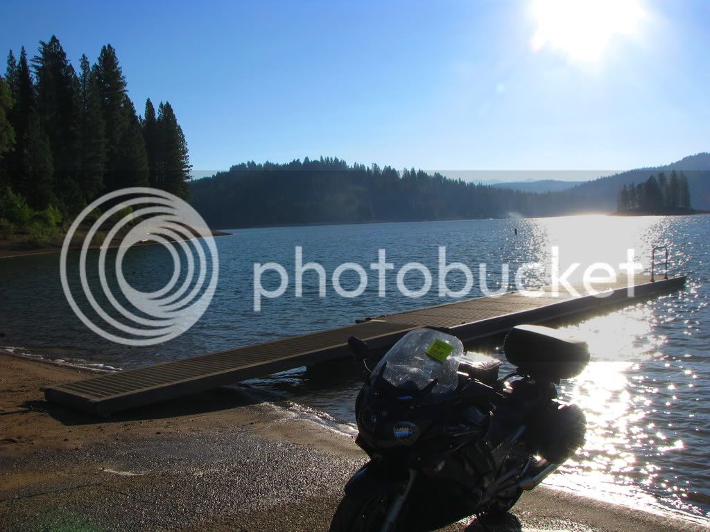
Just minutes from where I'd exited the highway, I encounterd my first opportunity.
Jenkinson Reservoir - elevation 3478 ft. And of course the morning light is always nice too.
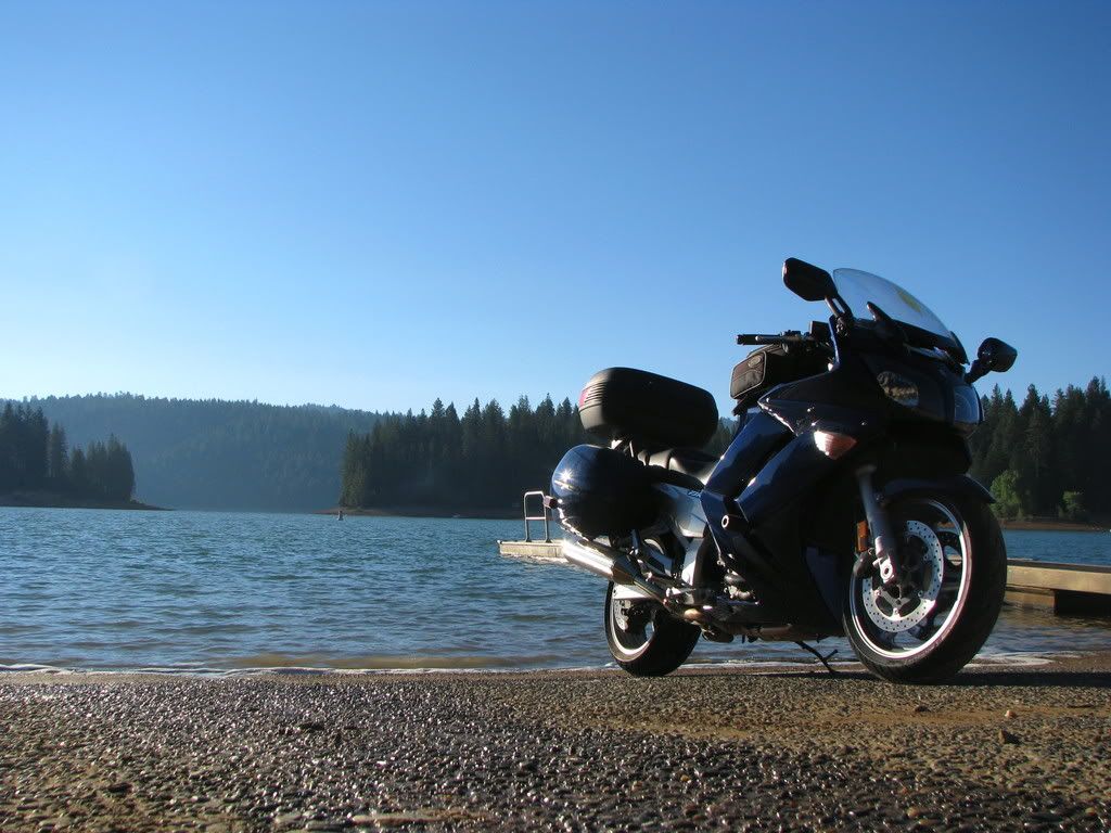
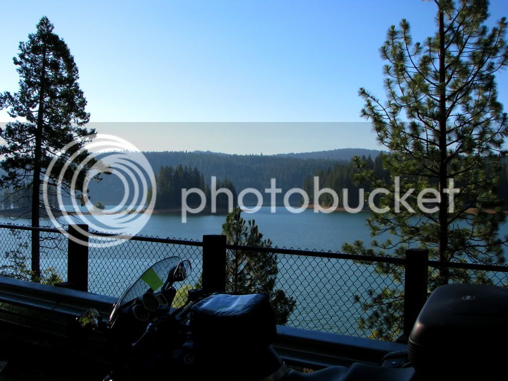
One more overlooking the lake.
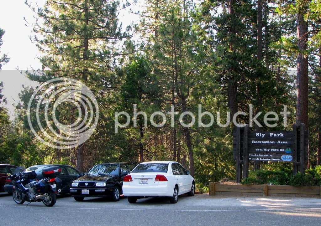
Around near the campground.
The woods are lovely, dark and deep...
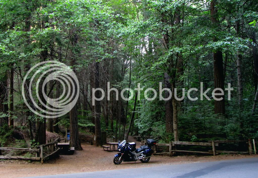
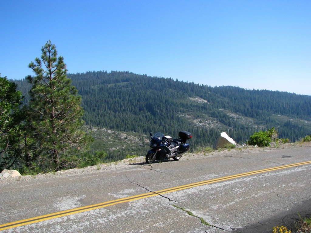
Stopped on the way to Silver Lake
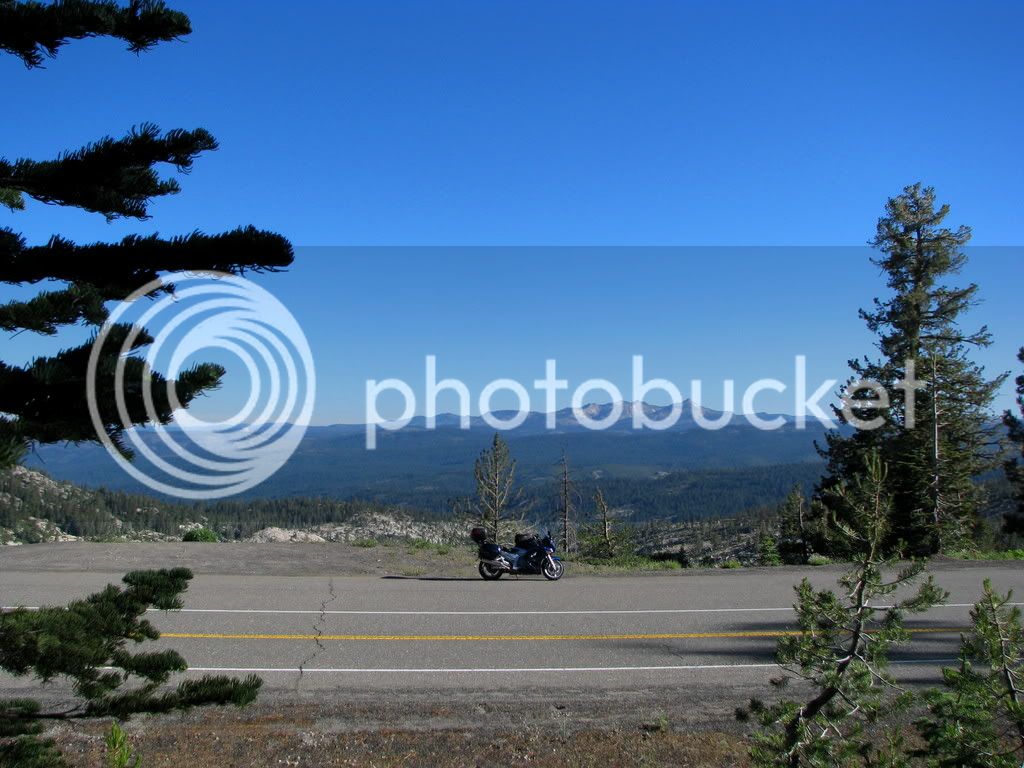
Silver Lake elevation- 7200 ft. I love this lake. Great camping and hiking.
And the mountains make a nice backdrop.
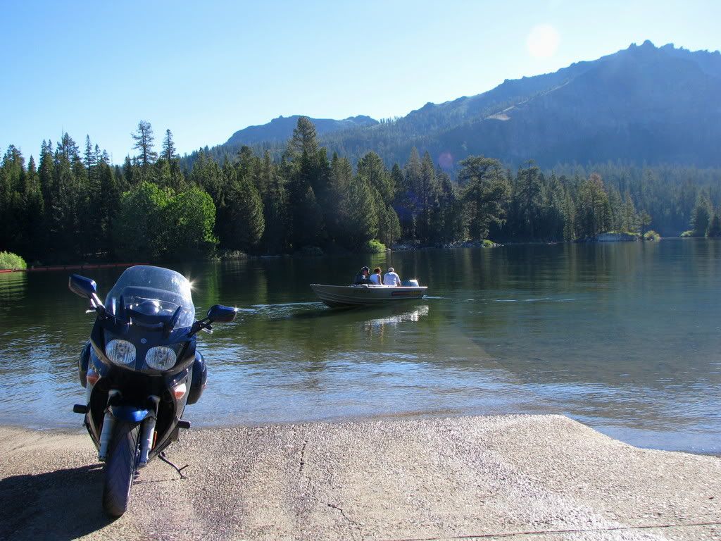
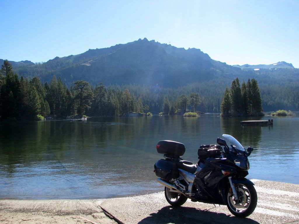
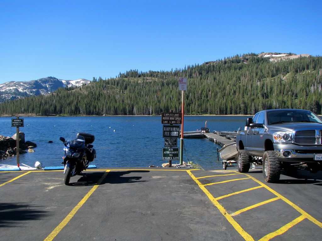
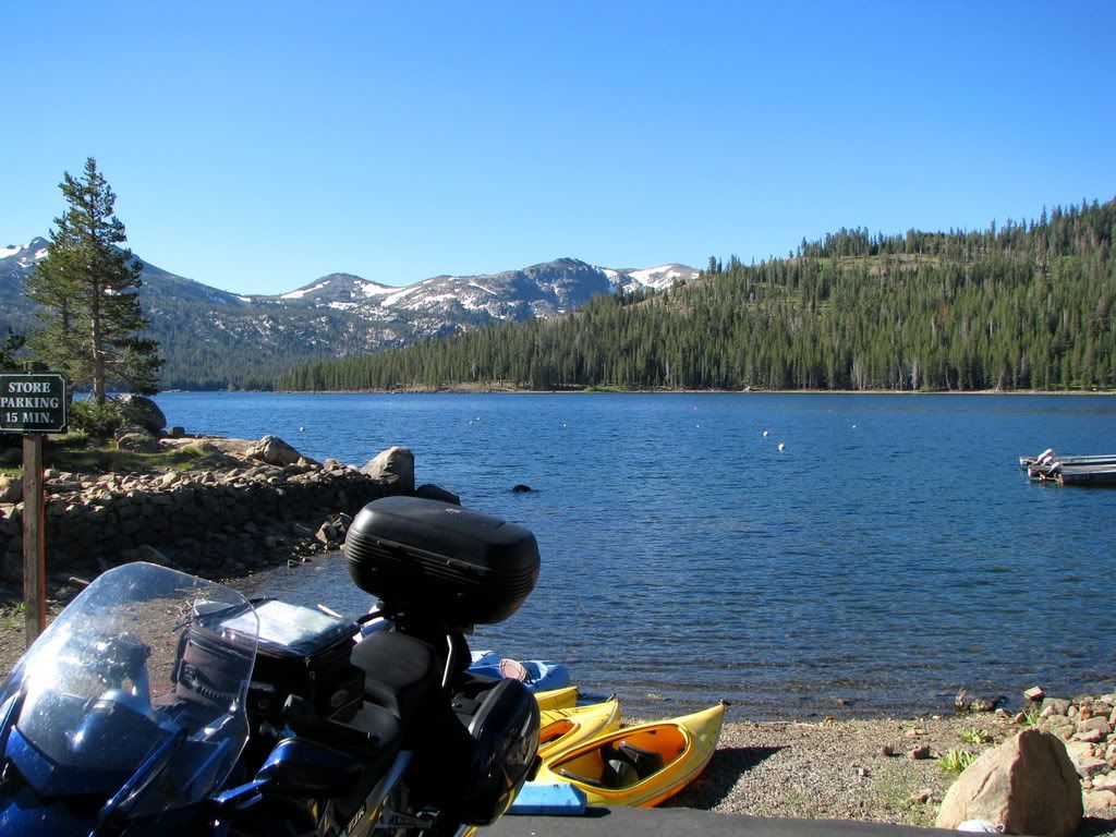
Caples Lake elevation- 7950 ft. Just a few minutes from Silver Lake.
I couldn't actually get on the ramp with my bike here.
Small ramp and busy. I'da had to get in line. They didn't realize that I was a journalist.
On down the road heading toward my next lake, a fellow rider saved me from a ticket. On a long downhill grade,
I was cruising at a healthy bit above the limit I reckon, when I was given the "bring it down" wave by an
oncoming Beemer GS rider. Around the very next bend, literally hiding in the trees, Mr. CHP was set up.
I'd have been toast. Thank you brother. Thank you.
Back to the lakes. Next.
Red Lake elevation - 8200 ft. A very small lake. No ramp. Water like glass. A good
few fellows fishing though. They must stock it, even though it's tiny.
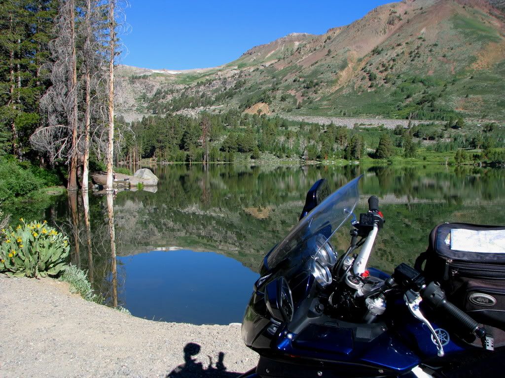
With no real route in mind, I continued east on 88, and then turned north on 89. This is a very pretty little valley, (Pickett's Junction?)
so I snapped a couple at the intersection.
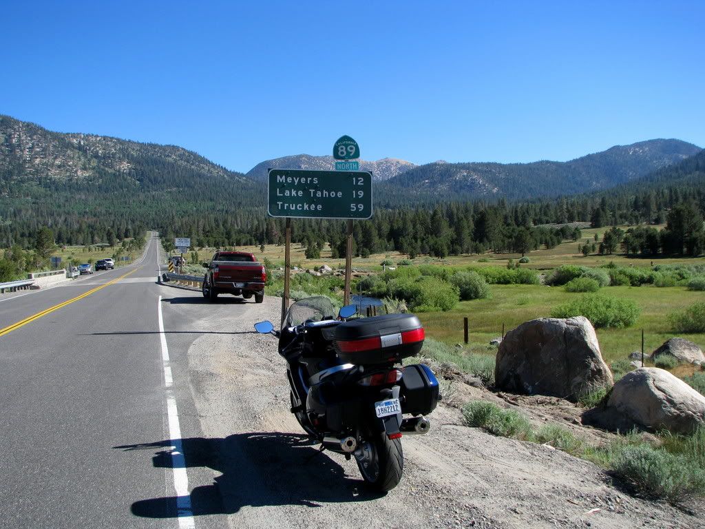
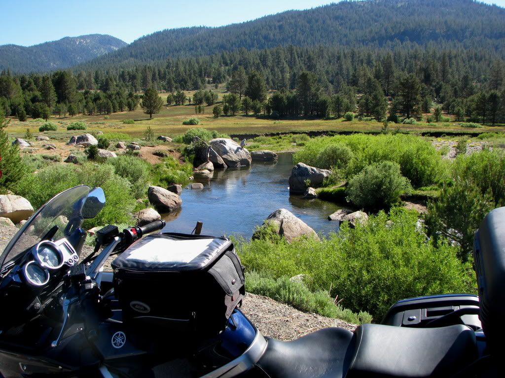
I decided to proceed into South Lake Tahoe, get a sandwich lunch to go, and then continue
on till I found a lake where I could sit and enjoy my meal. Into SLT, late morning, holiday weekend.
Ugly. Heavy traffic. Bad, aggressive drivers. Deadly. Grabbed my food, and beat feet the hell out
of there. Yuck!
Started west on 50, but it was jammed up, so I shot back down 89, just to get away from the madness.
Lakes? Lakes? I'll go hit those few due north of Kyburz! But instead of taking Ice House Rd straight up that stretch, I'll
backtrack down 88 to Mormon Immigrant Trail, to 50 down there, then jump on 193 just out of Placerville, then up to Georgetown, hang a right
through "downtown" and slide out and down ---- Wentworth Springs Road! Again! Oh my!
But I'm ahead of myself. Off 88, just west of Pickett's Junction, a small, but lovely road-
(by a pond on the side of that road)
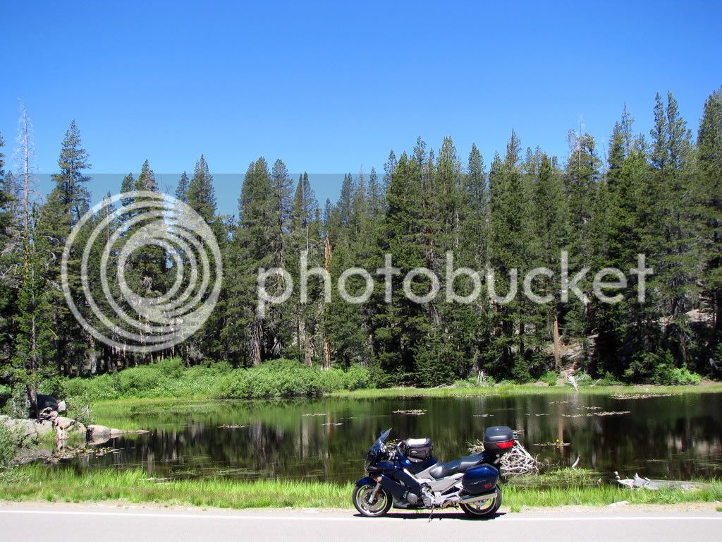
takes you to-
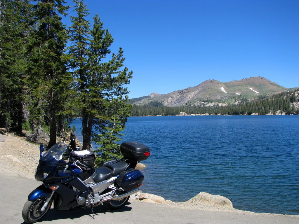
Blue Lakes! Two of 'em. Upper- 8131 ft. Lower- 8055 ft. I've only got pics of the lower, because the
bumpy-assed dirt road to the upper was not suited to my skills on an FJR.
'twas here I enjoyed my lunch. Smoked turkey, pepper jack cheese, lettuce, sliced peppers, a smokey,
spicey Chipotle sauce, on a Ciabatta roll. Chips and a diet beverage. (Howzat for ya Hit the Road Jack?)
Sorry. No close-up of the sammy. It steamed up my lens.
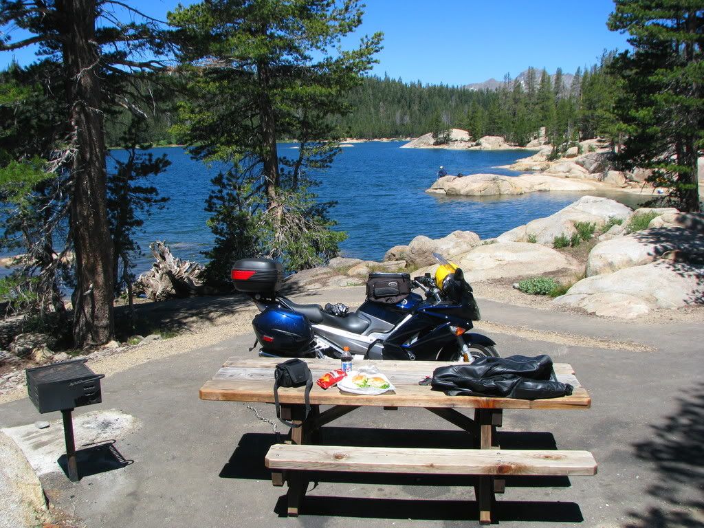
This report is really going to hell, huh?
Okay, I'll skip over all the stuff between lunch and my next lake. Which was
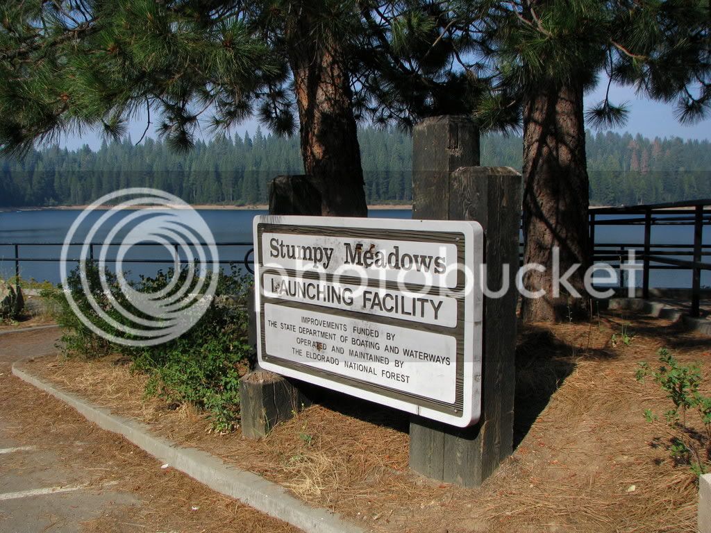
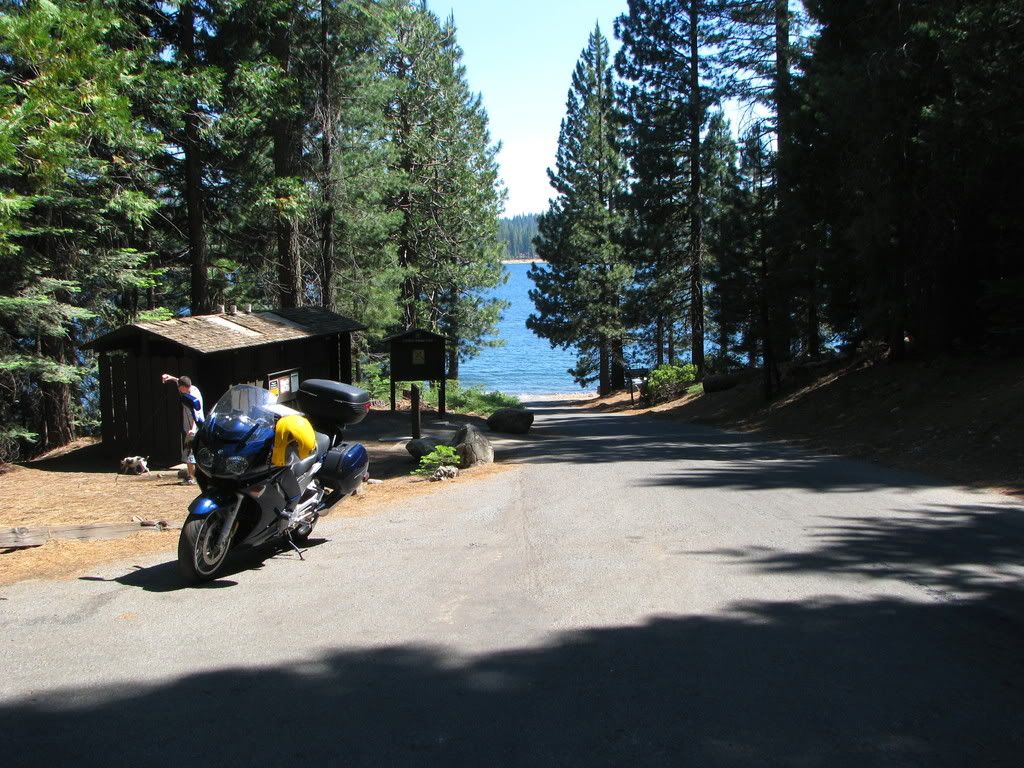
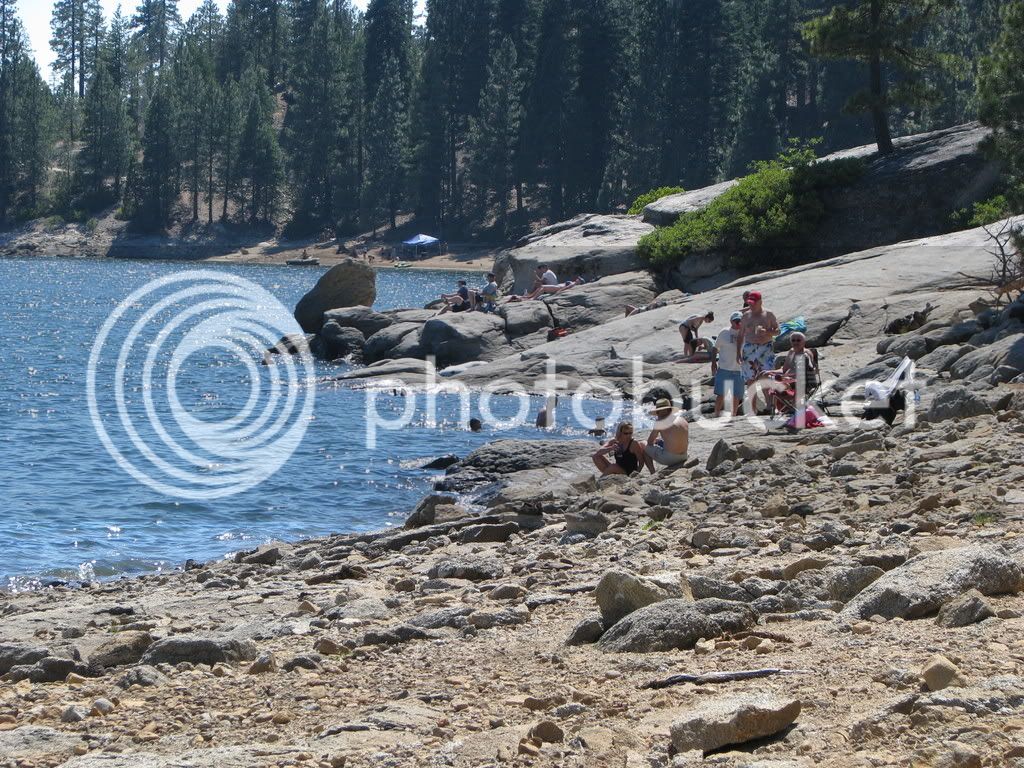
Union Valley Reservoir. elevation- 4900 ft.
This is a pretty big lake, with lots of campsites around it. I couldn't get down the ramp here, because it was quite
narrow and steep, and a "drop" here would have been unfortunate.
I wasn't "feeling it" with this lake. Not sure why.
The next 47 lakes after a quick break here.
I headed east to higher elevations, hoping to escape the heat of the valley.
I had no real plan in mind at first, and after running up Hwy. 50 and getting off
at the Sly Park exit, I figured I'd best come up with something.
Why not find a mountain lake and hang out - on the boat ramp - and take some pictures?
But why hang out? Why not just run all over the Sierras, to a bunch of different lakes, and
get shots of the boat ramp at each one?
A crappy plan perhaps, but I had a load of fun doing it.
I'll note the elevation of each lake as I add them to the list.
Here we go.
Just minutes from where I'd exited the highway, I encounterd my first opportunity.
Jenkinson Reservoir - elevation 3478 ft. And of course the morning light is always nice too.


One more overlooking the lake.

Around near the campground.
The woods are lovely, dark and deep...

Stopped on the way to Silver Lake

Silver Lake elevation- 7200 ft. I love this lake. Great camping and hiking.
And the mountains make a nice backdrop.


Caples Lake elevation- 7950 ft. Just a few minutes from Silver Lake.
I couldn't actually get on the ramp with my bike here.
Small ramp and busy. I'da had to get in line. They didn't realize that I was a journalist.


On down the road heading toward my next lake, a fellow rider saved me from a ticket. On a long downhill grade,
I was cruising at a healthy bit above the limit I reckon, when I was given the "bring it down" wave by an
oncoming Beemer GS rider. Around the very next bend, literally hiding in the trees, Mr. CHP was set up.
I'd have been toast. Thank you brother. Thank you.
Back to the lakes. Next.
Red Lake elevation - 8200 ft. A very small lake. No ramp. Water like glass. A good
few fellows fishing though. They must stock it, even though it's tiny.

With no real route in mind, I continued east on 88, and then turned north on 89. This is a very pretty little valley, (Pickett's Junction?)
so I snapped a couple at the intersection.


I decided to proceed into South Lake Tahoe, get a sandwich lunch to go, and then continue
on till I found a lake where I could sit and enjoy my meal. Into SLT, late morning, holiday weekend.
Ugly. Heavy traffic. Bad, aggressive drivers. Deadly. Grabbed my food, and beat feet the hell out
of there. Yuck!
Started west on 50, but it was jammed up, so I shot back down 89, just to get away from the madness.
Lakes? Lakes? I'll go hit those few due north of Kyburz! But instead of taking Ice House Rd straight up that stretch, I'll
backtrack down 88 to Mormon Immigrant Trail, to 50 down there, then jump on 193 just out of Placerville, then up to Georgetown, hang a right
through "downtown" and slide out and down ---- Wentworth Springs Road! Again! Oh my!
But I'm ahead of myself. Off 88, just west of Pickett's Junction, a small, but lovely road-
(by a pond on the side of that road)

takes you to-
Blue Lakes! Two of 'em. Upper- 8131 ft. Lower- 8055 ft. I've only got pics of the lower, because the
bumpy-assed dirt road to the upper was not suited to my skills on an FJR.

'twas here I enjoyed my lunch. Smoked turkey, pepper jack cheese, lettuce, sliced peppers, a smokey,
spicey Chipotle sauce, on a Ciabatta roll. Chips and a diet beverage. (Howzat for ya Hit the Road Jack?)
Sorry. No close-up of the sammy. It steamed up my lens.

This report is really going to hell, huh?
Okay, I'll skip over all the stuff between lunch and my next lake. Which was
Union Valley Reservoir. elevation- 4900 ft.
This is a pretty big lake, with lots of campsites around it. I couldn't get down the ramp here, because it was quite
narrow and steep, and a "drop" here would have been unfortunate.
I wasn't "feeling it" with this lake. Not sure why.


The next 47 lakes after a quick break here.
Last edited by a moderator:


