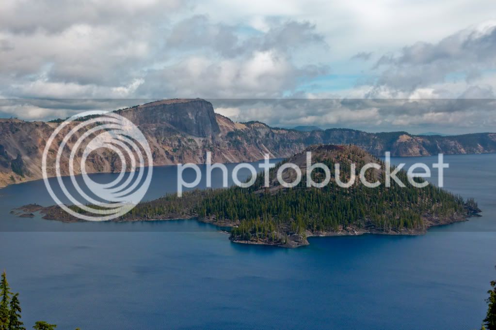
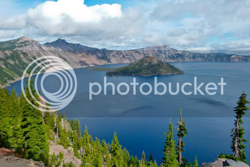
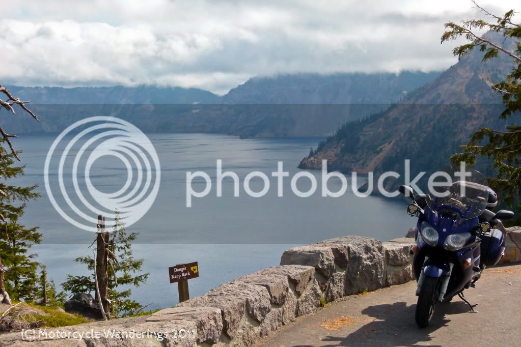
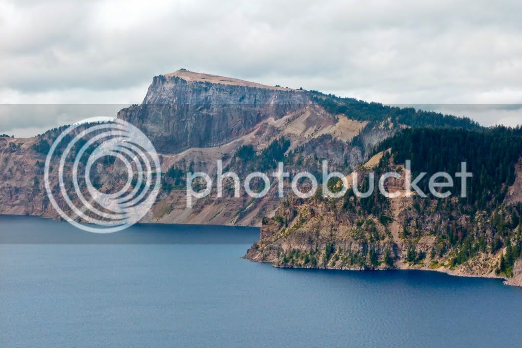
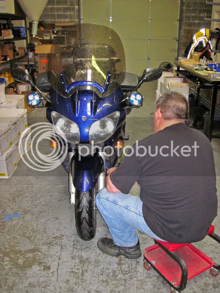
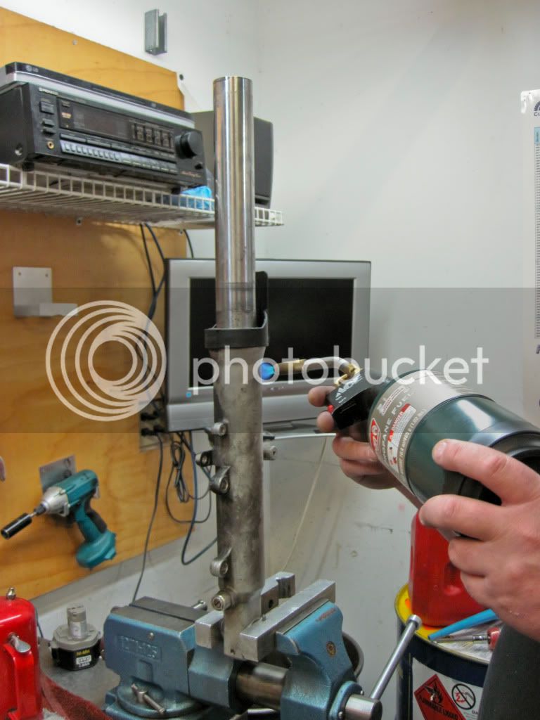
I was planning a trip to the Southwest this October. Southern Utah, Northern Arizona and maybe even Southwestern Colorado. Best laid plans and stuff. A routine tire change drew my attention to what would throw the wrench of fate in those plans. A leaky fork.
Now, I could have just had them disassembled to put new seals and fork oil in, but at 44K miles the front suspension was getting long in the tooth, made even more so evident by the upgraded rear shock. It was time to bite the bullet and make the pilgrimage to GP Suspension in the Pacific North Wet for a custom tuned suspension to my weight and riding style.
A leaky front fork didn't mean I still couldn't have some fun on my way North. I had originally planned to visit a couple of National Parks in the Southwest, as it happened there were also a couple of National Parks beckoning me on my journey North. Here I am presenting some selected shots, as usual I took many, but I am only sharing those few which tell the story I want to tell, the gloomy bad weather shots - well I won't bore you with those. Let's look on the bright side shall we?
Day 1: Beautiful Sisters.
I rode out Saturday morning and headed towards the scenic Feather River Canyon also known as Hwy 70. I hadn't ridden this road all year and whenever I do - it always makes me grin from ear to ear. Such tempting curves and such smooth silky pavement - the FJR just loves to ride this road..
One of several tunnels bored through the canyon..
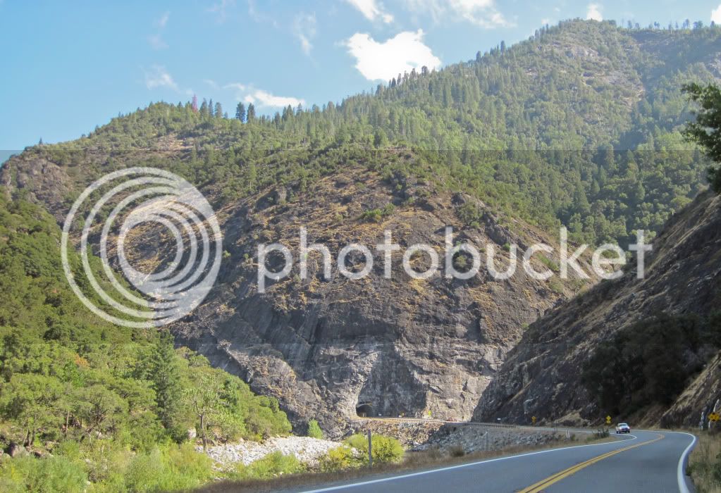
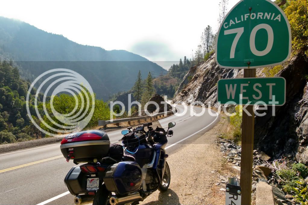
I wasn't actually riding West. I turned around to photograph this sign and the curvy road disappearing into the distance..
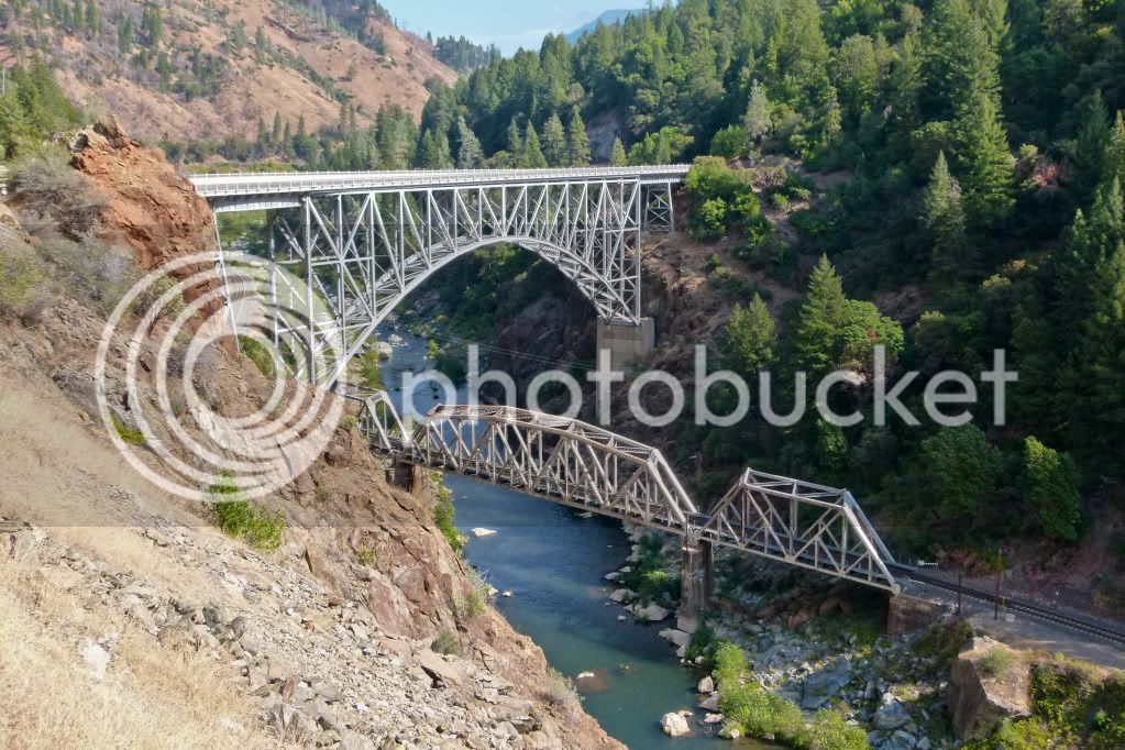
Bridges crisscrossing the Feather River.
I skirted Lake Almanor but didn't stop to take pictures, if you hadn't guessed already - I was heading towards Lassen National Park. One can actually see Mt. Lassen surrounded by clouds all the way from Hwy 89 even before it passes by Lake Almanor. Although, I wasn't stopping for pictures here and it was far enough in the distance to pick up with my point and shoot.
I started shooting again once inside the Park. Lassen is the southernmost volcano in the Cascade Range. It is an active volcanic area with boiling mud pots, stinking thermal vents etc. Lassen had last erupted in 1914 - activity continuing till 1921 which devastated the area - but life finds a way to grow back and thrive and today it is a beautiful area to ride through.
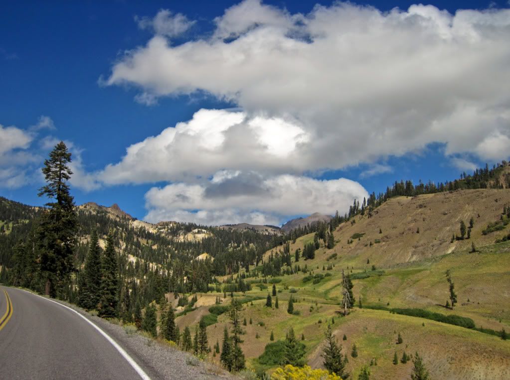
Just after entering Lassen National Park.
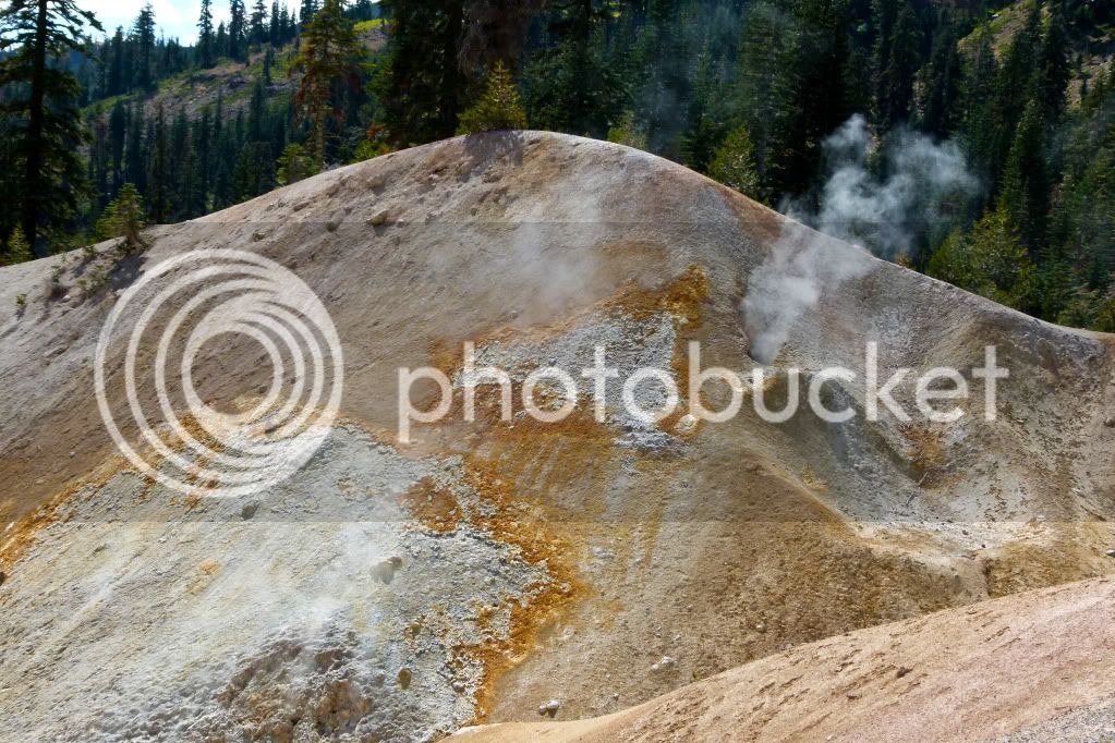
Stinking thermal vents at the Sulfur Works area.
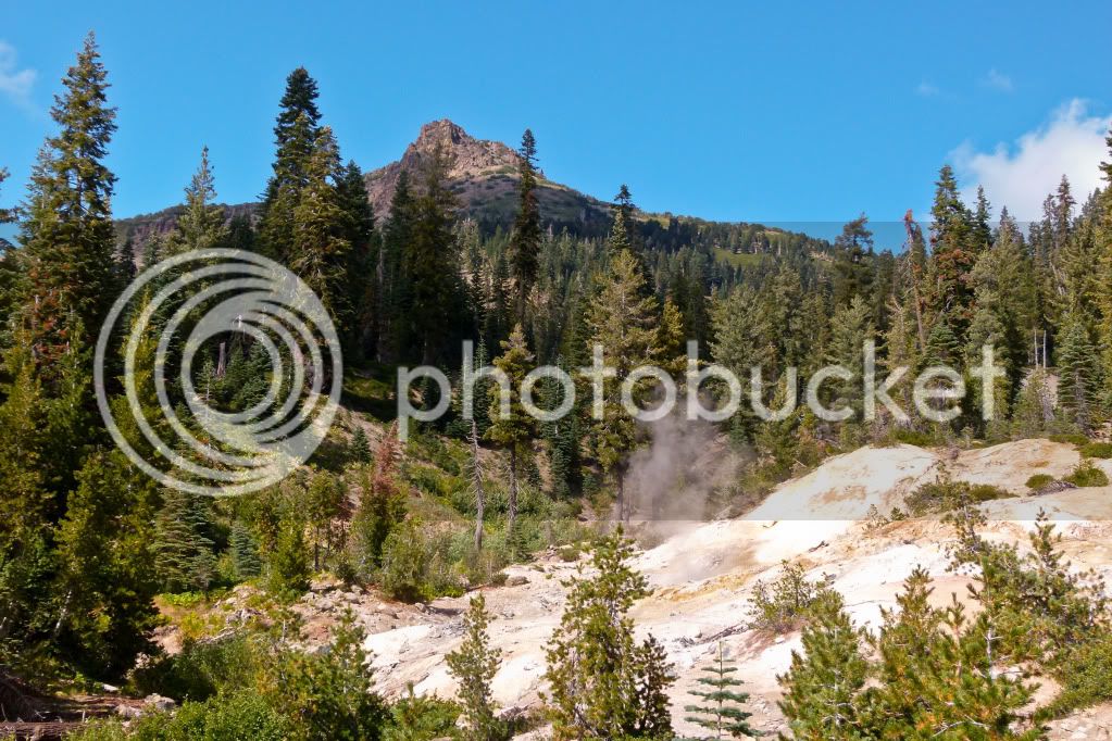
Boiling mud pots.
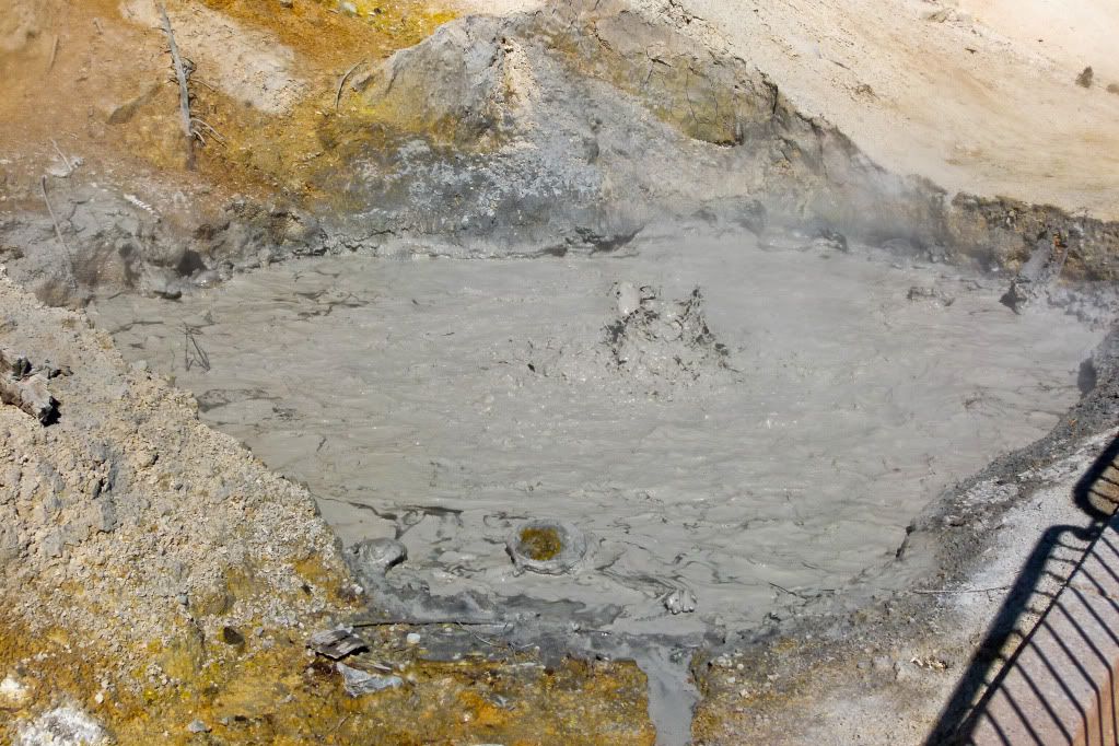
Beautiful roads to ride also..
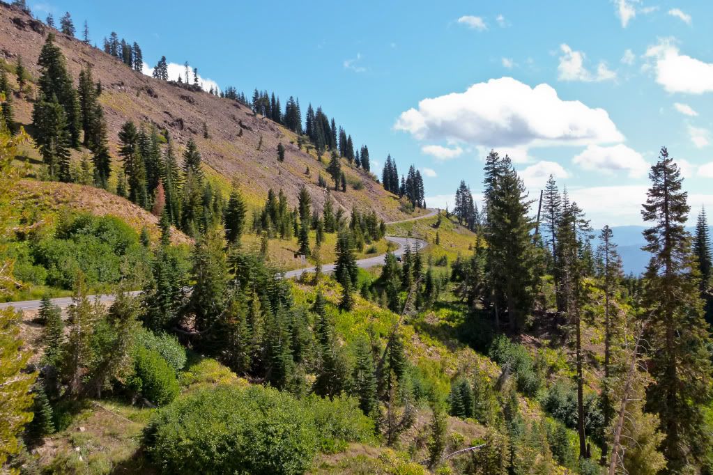
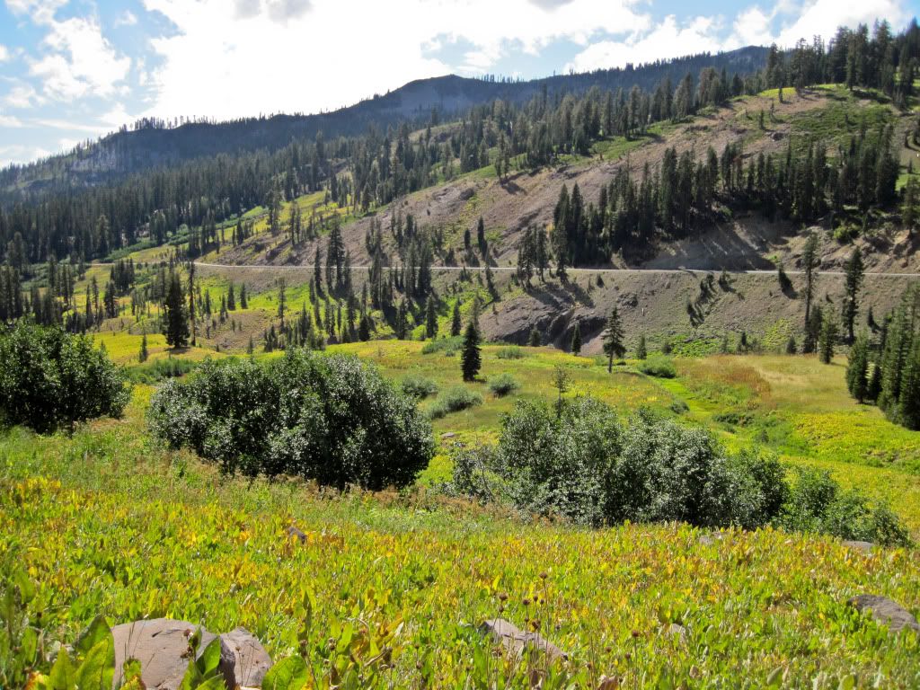
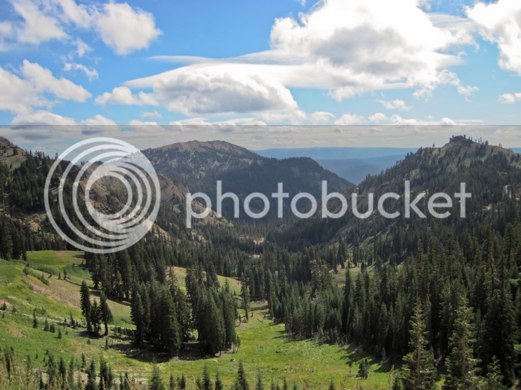
Great scenery all around you! Looking back the way I had come..
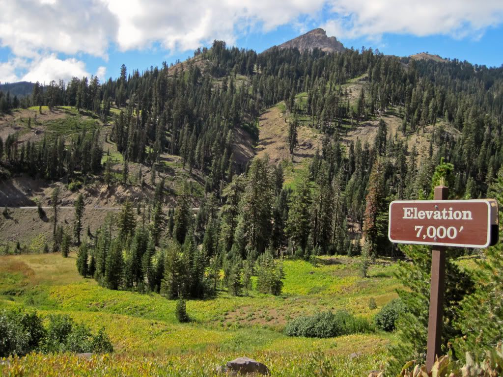
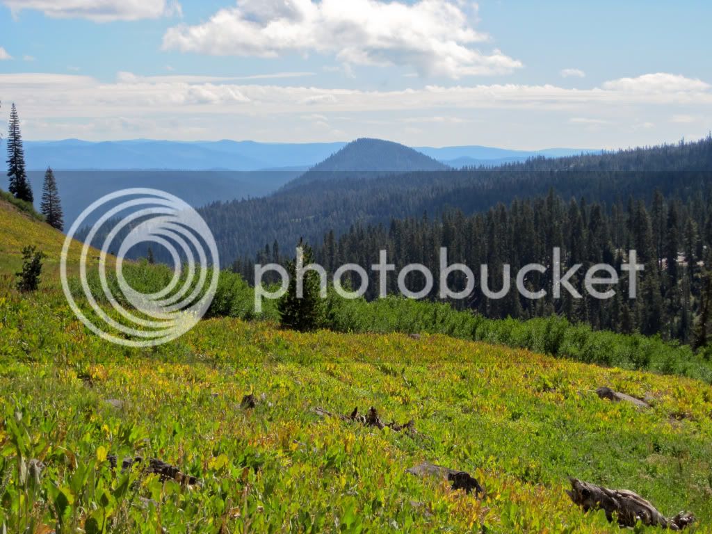
..and yonder..
Really not much to say to sell the scenery to the viewer(reader)..the scenery speaks for itself..
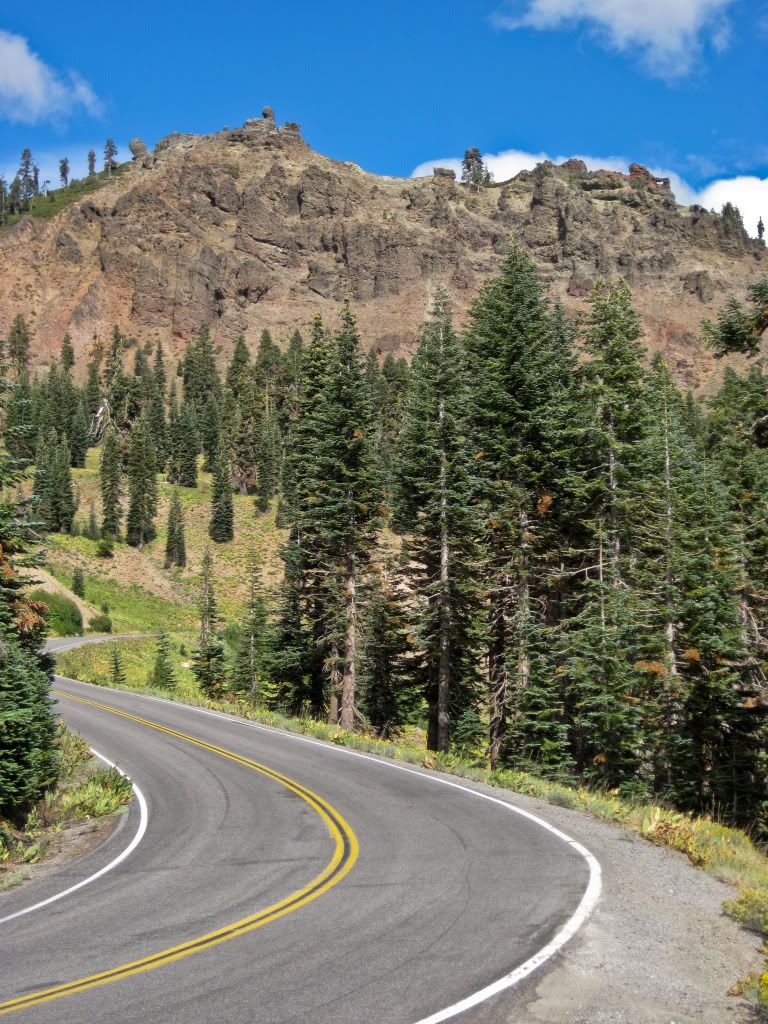
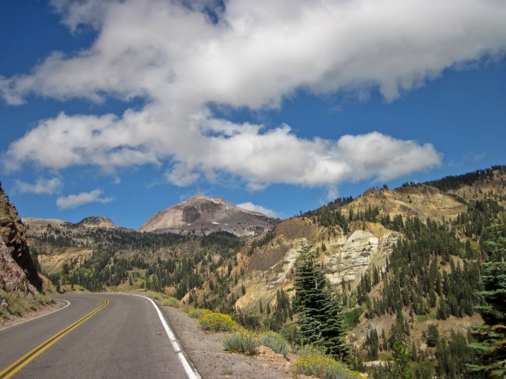
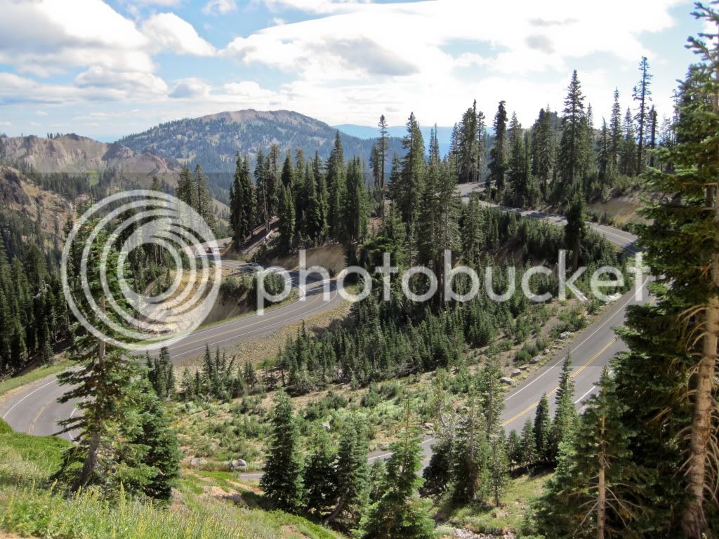
More fun switchbacks..Lassen seems to have everything..
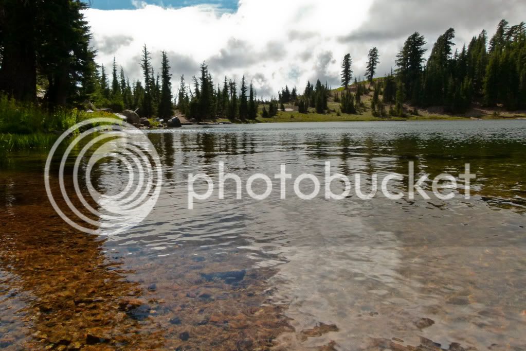
... including some beautiful lakes. Look at the clarity of that water..
What are you doing down there, she says!
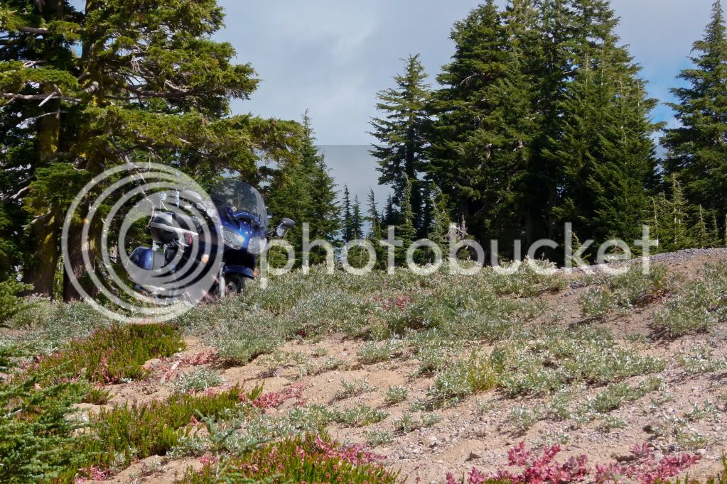
I usually don't include the bike in a lot of ride report pictures, but I attempted to do so this time..I have to pay my dues, at the moment she is the only girlfriend I know! Hahaha!
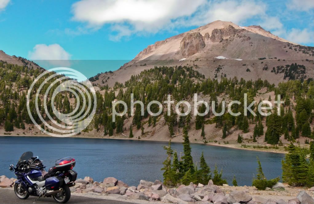
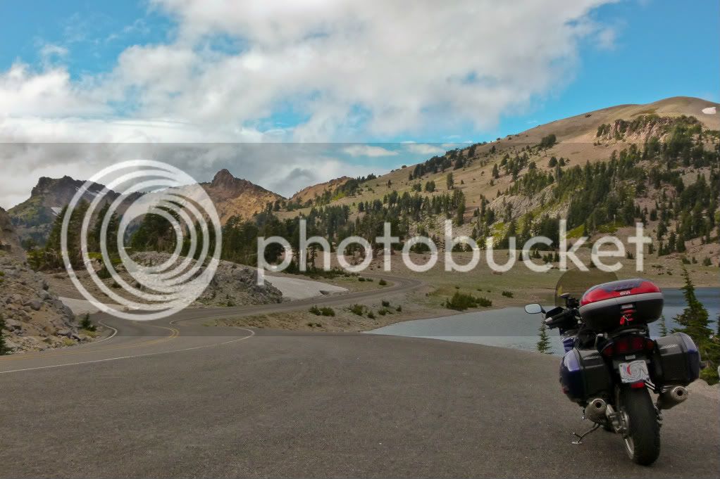
Towards the north entrance of the Park before the devastated area, there is this beautiful meadow with a creek running through it. It is a pretty area with a good view of Lassen Peak as well.
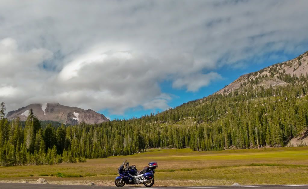
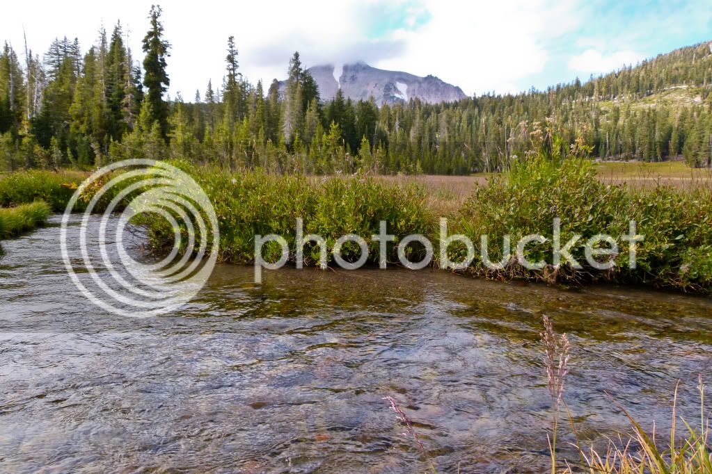
The best view of Lassen Peak (from the road) is from the Devastated area. There had been a storm chasing me through Lassen and at the Devastated area it caught me. I still took some pictures with my waterproof camera but it was not a surprise they came out dark and gloomy, so I am not including it here.
From Lassen I headed towards her sister Shasta. Some dear friends of mine live in Shasta, I wasn't going to be able to see all of them since some of them were traveling as well, but first I was going to make a stop at one of the most beautiful waterfalls in Northern California. RenoJohn has told me about this about an year ago, I was finally going to pay a visit..
There is an almost inconspicuous sign which informs you of the location of Burney Falls, blink and you miss it, most people see it even, but never visit. Their loss and it has been mine too for all these years, but now that I know of it, I will be stopping here every year on my way to Shasta. Also of note is that the falls aren't the only attraction at this State Park. There is 910 acres of wilderness to hike and explore, as well as camping and fishing!
You can hear the falls long before you ever see them. The first look at Burney Falls from the overlook.
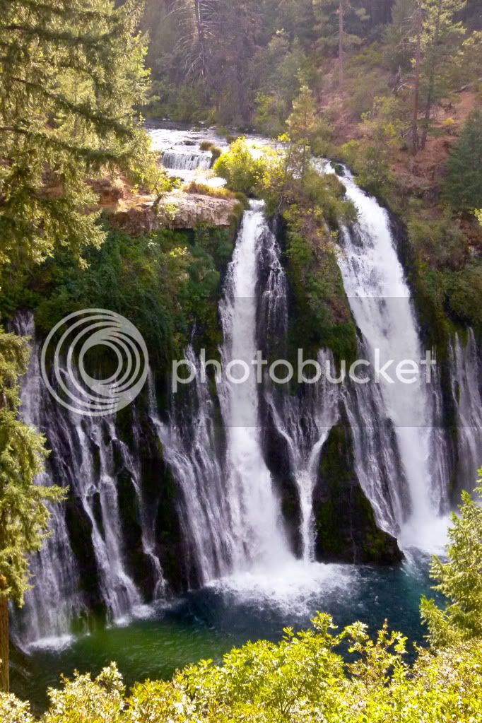
Then you descend this switchback path of stairs and walking ramps to near the base of the falls. You can feel the mist from the falls while you are still some distance away.
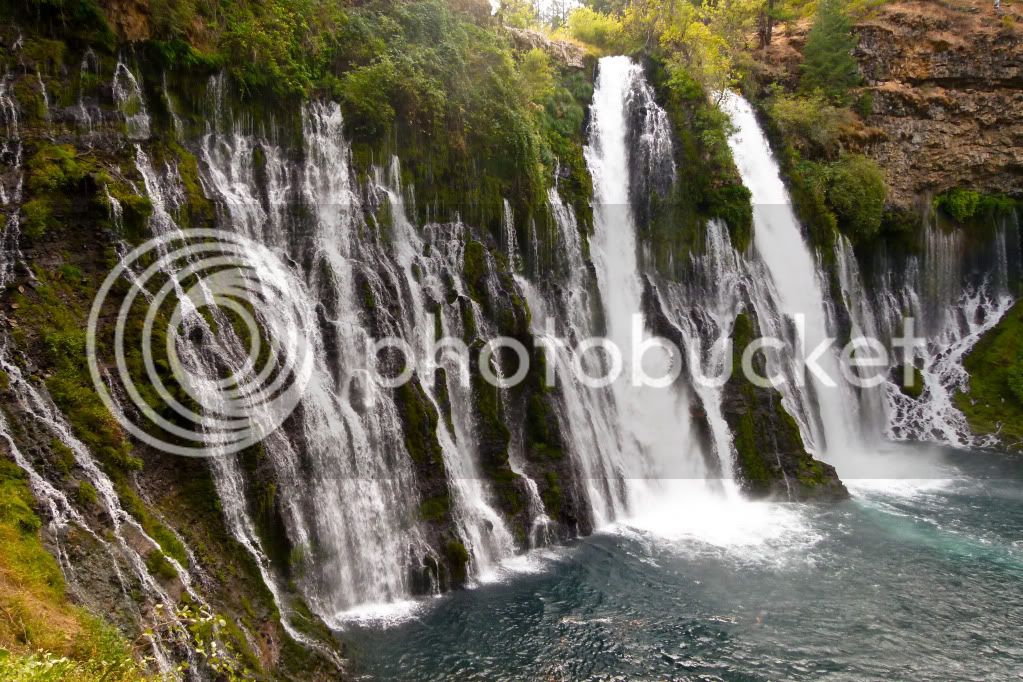
Look at that pristine blue water!
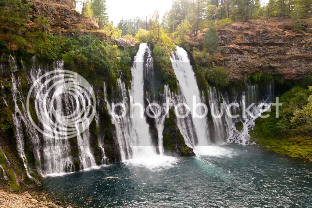
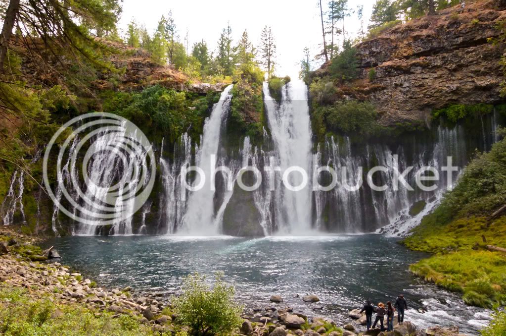
At the base of the falls, the teeny boppers near the water should give you an idea of the height of the falls (129 feet).
The sun was dropping fast, but there was still some time to take some bumpy back roads to go get a picture for this photo tag game I am playing with some IBA friends and then I headed for Lake Shastina - my stop for the night.
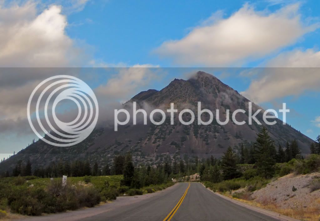
Here is a view of Black Butte from a back road heading towards I-5.
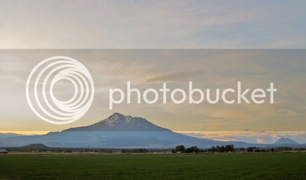
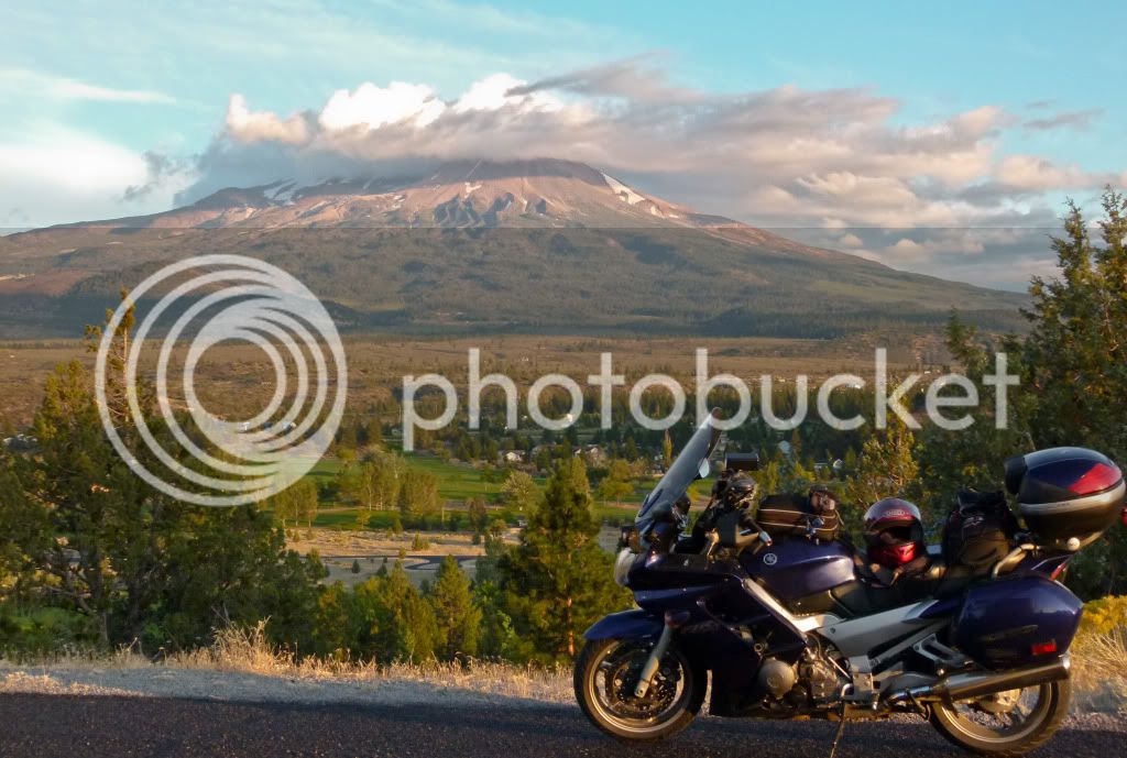
My favorite and in my biased opinion the best view of Mt. Shasta is from my friend's place in Lake Shastina..
Since my friends Corinne and Rick were out, I stayed with Russ and Becky. Thank you for your hospitality Russ, too bad you had to work the event all evening, but it was good to see you, if briefly.
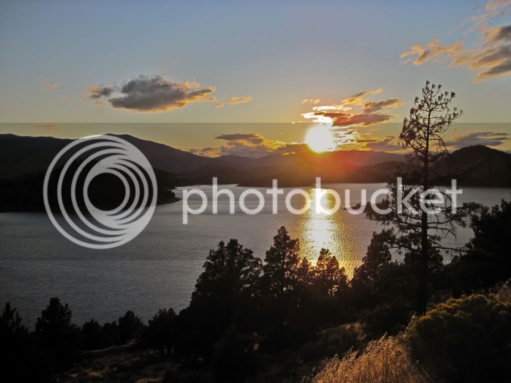
The sun sets over Lake Shastina...the day is done..
Have a wedding to go to in South Bay this weekend, so the rest of the story later..
Now, I could have just had them disassembled to put new seals and fork oil in, but at 44K miles the front suspension was getting long in the tooth, made even more so evident by the upgraded rear shock. It was time to bite the bullet and make the pilgrimage to GP Suspension in the Pacific North Wet for a custom tuned suspension to my weight and riding style.
A leaky front fork didn't mean I still couldn't have some fun on my way North. I had originally planned to visit a couple of National Parks in the Southwest, as it happened there were also a couple of National Parks beckoning me on my journey North. Here I am presenting some selected shots, as usual I took many, but I am only sharing those few which tell the story I want to tell, the gloomy bad weather shots - well I won't bore you with those. Let's look on the bright side shall we?
Day 1: Beautiful Sisters.
I rode out Saturday morning and headed towards the scenic Feather River Canyon also known as Hwy 70. I hadn't ridden this road all year and whenever I do - it always makes me grin from ear to ear. Such tempting curves and such smooth silky pavement - the FJR just loves to ride this road..
One of several tunnels bored through the canyon..

I wasn't actually riding West. I turned around to photograph this sign and the curvy road disappearing into the distance..

Bridges crisscrossing the Feather River.

I skirted Lake Almanor but didn't stop to take pictures, if you hadn't guessed already - I was heading towards Lassen National Park. One can actually see Mt. Lassen surrounded by clouds all the way from Hwy 89 even before it passes by Lake Almanor. Although, I wasn't stopping for pictures here and it was far enough in the distance to pick up with my point and shoot.
I started shooting again once inside the Park. Lassen is the southernmost volcano in the Cascade Range. It is an active volcanic area with boiling mud pots, stinking thermal vents etc. Lassen had last erupted in 1914 - activity continuing till 1921 which devastated the area - but life finds a way to grow back and thrive and today it is a beautiful area to ride through.
Just after entering Lassen National Park.

Stinking thermal vents at the Sulfur Works area.


Boiling mud pots.

Beautiful roads to ride also..

Great scenery all around you! Looking back the way I had come..


..and yonder..

Really not much to say to sell the scenery to the viewer(reader)..the scenery speaks for itself..


More fun switchbacks..Lassen seems to have everything..

... including some beautiful lakes. Look at the clarity of that water..

What are you doing down there, she says!

I usually don't include the bike in a lot of ride report pictures, but I attempted to do so this time..I have to pay my dues, at the moment she is the only girlfriend I know! Hahaha!


Towards the north entrance of the Park before the devastated area, there is this beautiful meadow with a creek running through it. It is a pretty area with a good view of Lassen Peak as well.


The best view of Lassen Peak (from the road) is from the Devastated area. There had been a storm chasing me through Lassen and at the Devastated area it caught me. I still took some pictures with my waterproof camera but it was not a surprise they came out dark and gloomy, so I am not including it here.
From Lassen I headed towards her sister Shasta. Some dear friends of mine live in Shasta, I wasn't going to be able to see all of them since some of them were traveling as well, but first I was going to make a stop at one of the most beautiful waterfalls in Northern California. RenoJohn has told me about this about an year ago, I was finally going to pay a visit..
There is an almost inconspicuous sign which informs you of the location of Burney Falls, blink and you miss it, most people see it even, but never visit. Their loss and it has been mine too for all these years, but now that I know of it, I will be stopping here every year on my way to Shasta. Also of note is that the falls aren't the only attraction at this State Park. There is 910 acres of wilderness to hike and explore, as well as camping and fishing!
You can hear the falls long before you ever see them. The first look at Burney Falls from the overlook.

Then you descend this switchback path of stairs and walking ramps to near the base of the falls. You can feel the mist from the falls while you are still some distance away.

Look at that pristine blue water!

At the base of the falls, the teeny boppers near the water should give you an idea of the height of the falls (129 feet).

The sun was dropping fast, but there was still some time to take some bumpy back roads to go get a picture for this photo tag game I am playing with some IBA friends and then I headed for Lake Shastina - my stop for the night.
Here is a view of Black Butte from a back road heading towards I-5.

My favorite and in my biased opinion the best view of Mt. Shasta is from my friend's place in Lake Shastina..

Since my friends Corinne and Rick were out, I stayed with Russ and Becky. Thank you for your hospitality Russ, too bad you had to work the event all evening, but it was good to see you, if briefly.
The sun sets over Lake Shastina...the day is done..

Have a wedding to go to in South Bay this weekend, so the rest of the story later..


