Fontanaman
Robin Trower
Ride Report of the Olympic Peninsula March 24, 2012
Early season riding in Western Washington includes the Olympic Peninsula (Oly Pen) due to the lower elevation roads and lack of tourists. Don’t do this ride on a weekend from Memorial Day to Labor Day unless following a passel of RVs is your idea of a good time. Summer weekdays should be fine. Since I am still a working stiff weekends are my only opportunity. If I don’t quit working soon I may be stiff sooner than later.
Prior nearby ride reports from Fontanaman can be found on the forum:
For those new to riding in Washington or those who plan to visit I encourage you to buy riding guide and map Destination Highways. I have no affiliation with these guys but I am always willing to plug a product if it is good. If you buy the book you will save yourself endless hours of research and increase your enjoyment while visiting our great state. Yeah yeah I know it is expensive but what is your precious vacation time worth? Find and read blogs and trip reports like mine or buy the book. Go buy the damn book and map.
Today’s ride is the granddaddy of all Oly Pen rides. Around the whole thing in one day. This is the rider's ride. Not much time for posing, pussy footing or lolly gagging here. Riding this route you will miss a few things and your humble scribe with attempt to point out the missed opportunities along the way.
On the FJR this ride is actually a walk in the park, the park being the whole state of Washington. Say what you will about the weather, and we who live here say a lot, when it is nice here there is no place like it. As evidence the whining on the forum proves we have not seen a decent day here in about a month now. Spring is making up for winters lack of rain. California is in the same bucket. The Cali riders were able to ride the Sierra’s in mid January – not now.
This crazy weather pattern is also messing with Fontanaman’s ride plans to Cali in May.
Rather than solo, my buddy Brian joined me today. We met a 6:15 at McDonald’s near Edmunds Washington. I walk up in full riding gear, sans the helmet and gloves and the robot says is this for here or to go? It only went downhill after that. McDonald’s is known for fast service and for serving Weapons of Mass Destruction for over 50 years was unable to simply make a bowl of oatmeal in less than 5 minutes. Brian and I enjoyed some light conversation and headed to the Ferry Terminal at Edmunds to catch the 7:10 tub to Kingston.
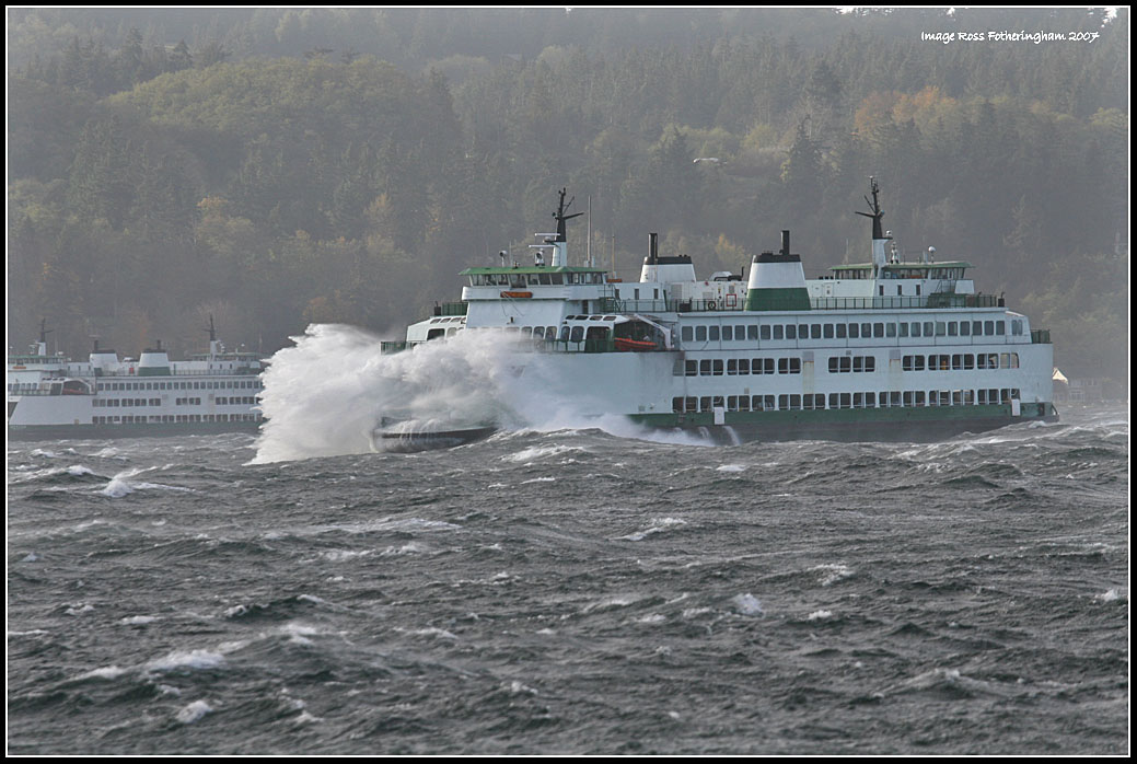
The ferry ride.
Off the boat and on to go we go the historic Victorian town of Port Gamble toward Discovery Bay where Brian stops for a photo op and we resume our ride to Port Angeles, Washington. While on the way to Port Angeles unpleasant memories of my most recent encounter will Law Enforcement Officers rattle around in my brain. Simply put there is no place to ride quickly anywhere on the Oly Pen, especially on Hwy 101 or any of the State Hwys. During this ride we saw the Speed Tax Collectors with at least 4 customers at various points during the day. Speed Tax Collection must be the second largest income revenue behind tourism, cause logging died years ago.
All morning the temps were in the low 30’s and Brian was leading. I noticed him fiddling with his heated jacket temperature controller. Suspecting it was broke we found a McDonalds in Forks to get a cup of coffee, took a break and warmed up. This Mickey D’s stop was better – we only ordered coffee and at $1.00 a cup it is just as good as Starbuck’s at a fraction of the cost. Also using my GPS for routing to a Starbuck’s is a hit or miss deal. You never know if the Starbuck’s is embedded inside a grocery store – an odd rest stop indeed.
The stop in Port Angeles did the trick, the low clouds burnt off, the sun came out and Brian’s heated garment controller officially died after Port Angeles. So the timing was perfect. Our route takes us to one of my favorite roads, Hwy 112. By going this way you miss the Sol Duc Hotspings and the slow and go along Lake Crescent.
Hwy 112 along the water.
Hwy 112
Hwy 112
Hwy 112
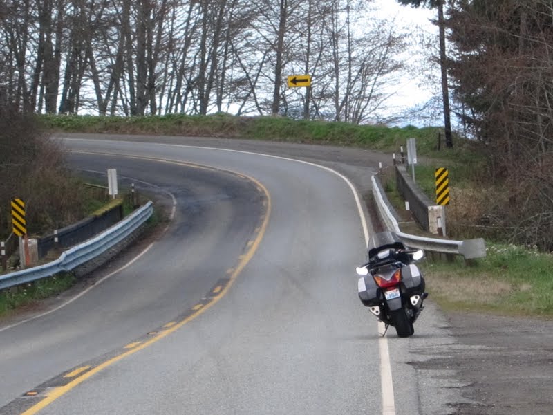
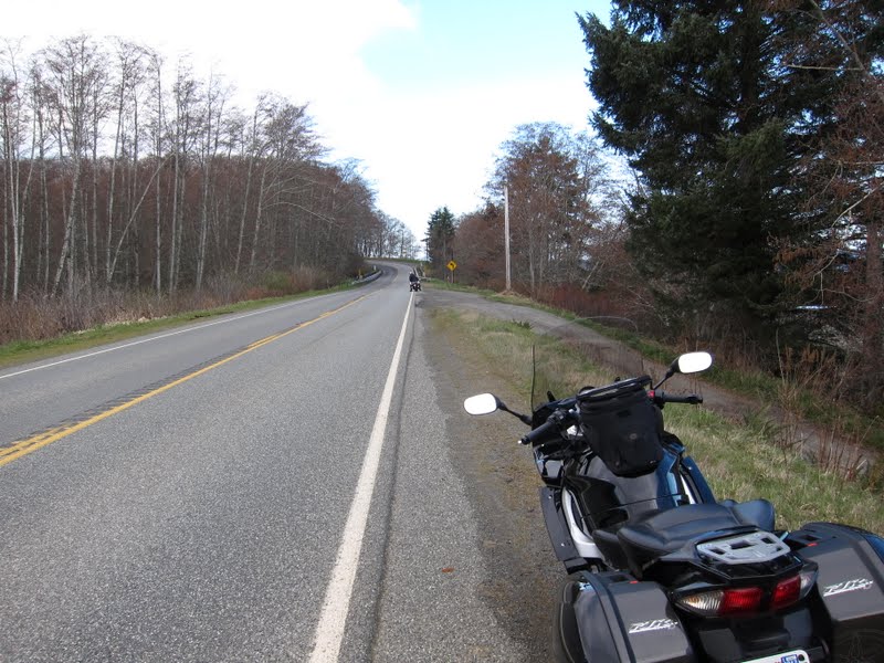
My Feejer – she is a beut! The Russell seat is the cat’s meow. The Velvet Hammer. Do tread lightly in these parts tho.
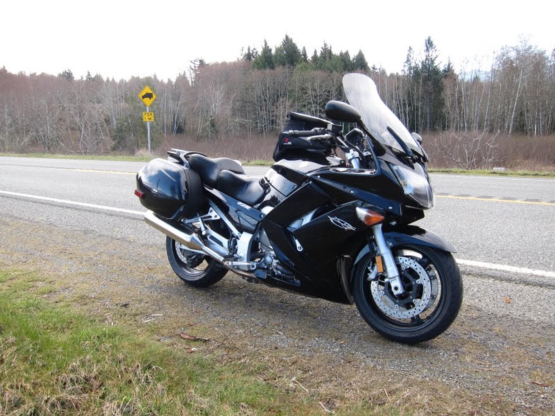
A typical turn on Hwy 112. After the leaves come out and things green up it is even more scenic.
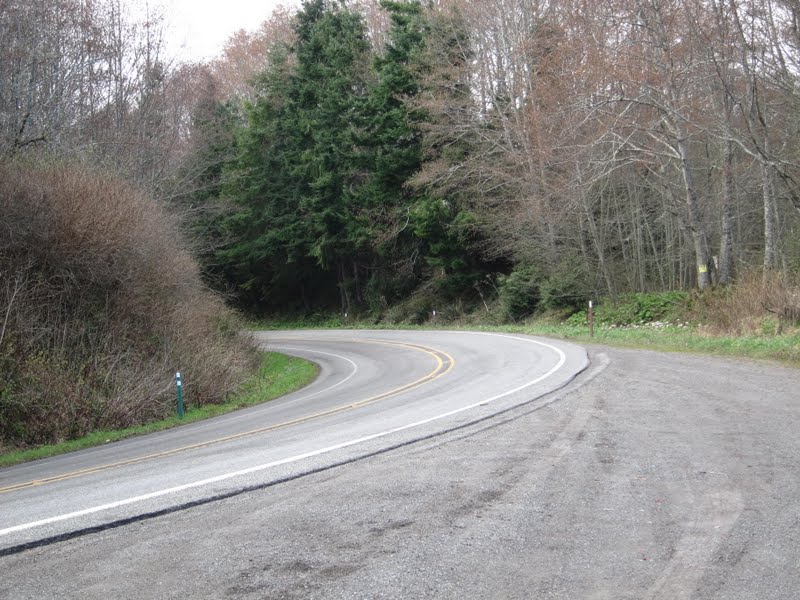
Peak about boo with the Strait of Juan De Fuca. Here is all the stuff you want to know about Hwy 112 of historical and archeological interest. What I know is the pavement is the destination and it is not bad pavement either. A bit of junk on the road and some heaves in places since the road is hanging on cliff.
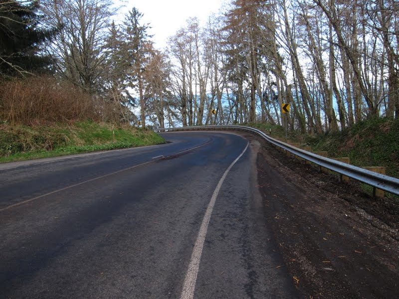
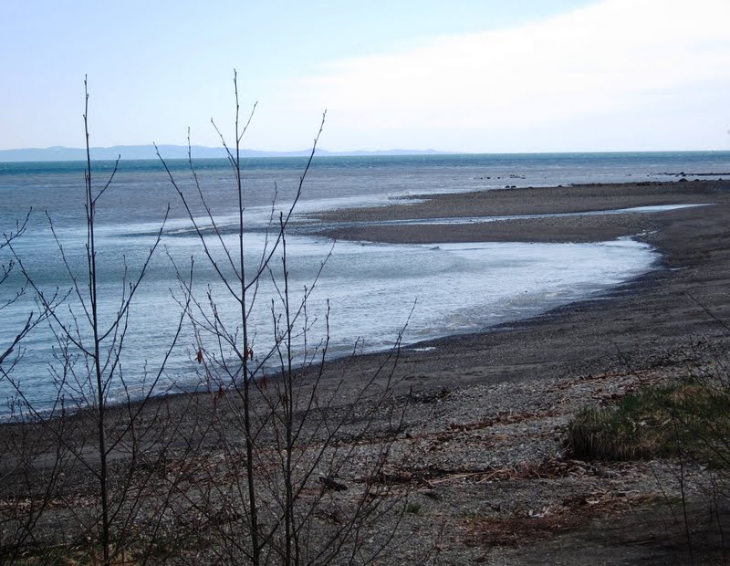
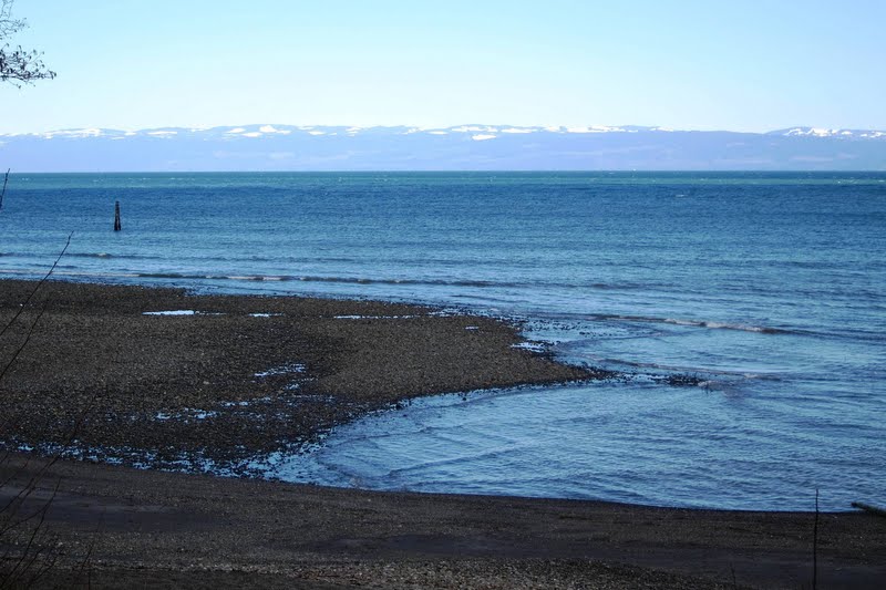
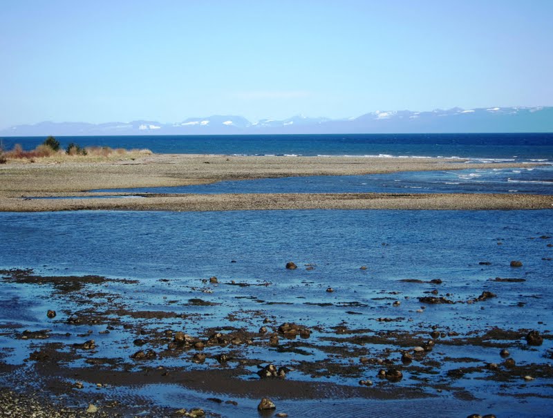
There a couple of photo ops on Hwy 112. Below is a typical Washington Beach. Canada is in the background.
During this ride we saw 3 border patrol vehicles. Don’t want to speed around them either – they have radios and friends who have cars with blinking lights. We could only wish the guys driving the cars with der blinking light looked light this:

Yours truly.
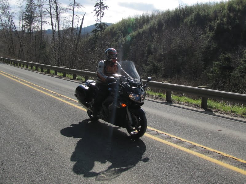
As we continue down Highway 112 the speed limit continues to drop. This is the entrance to heaven with the sign from hell. 40mph is more appropriate for grandma driving a 1963 Chevy Impala with a straight six and a Slip-In-Slide Power glide. This is also sport bike heaven and LEO knows it, so we poke along at 45mph.
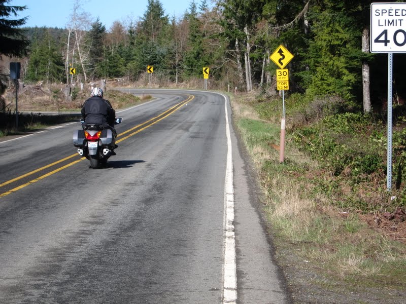
The pavement is good here too. The last few miles of Hwy 112 follows along the Pysht River and like most roads following a river are exceptional. The river is to the right in this link.
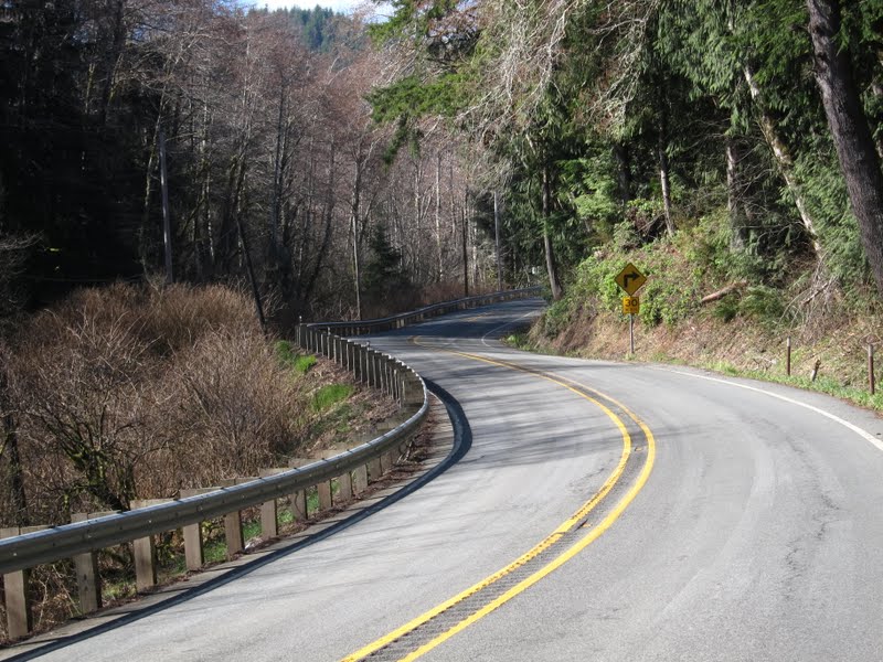
As Hwy 112 end, we continue on Hwy 113 to Fork. This means we don’t get to continue along 112 to Cape Flattery an excellent ride nor to Lake Ozette. These are places you may want to visit during your trip to the Oly Pen.
Cape Flattery Photo from August 2008 along with a story from the local newspaper.
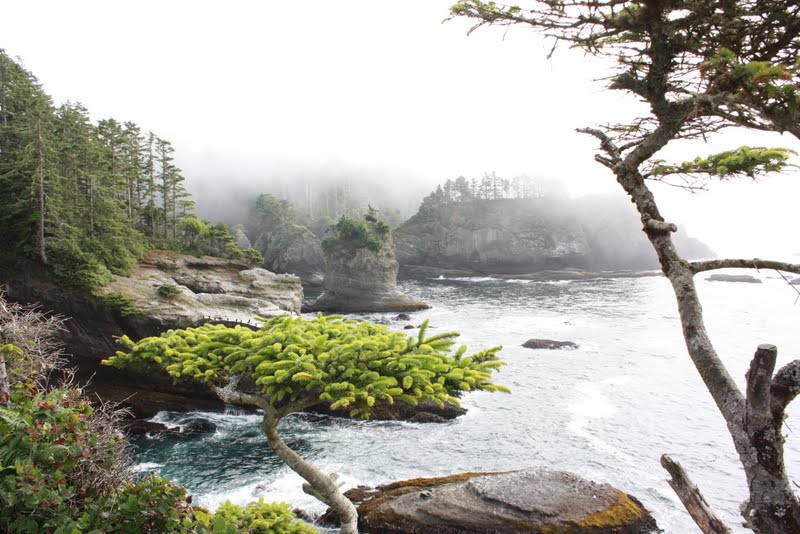
Hwy 113 is very interesting and twisty road in the same vein as Hwy 112 but we had stopped enough today and it was time to make time. So we did, within the speed limit of course, mostly. Hwy 101 came quickly and we headed toward Forks. Looking at my GPS I notice the town of Beaver coming up. My mind, being what it is, began mulling the possibilities. The Forum is having an effect on my and it is not a good one. No road sign welcoming us to Beaver. What else is new? I did notice this though, the Beaver Fire Department. Imagine being recused by the Beaver Fire Department, you might never live it down.
We blow by Beaver on to the town of Twilight fame Forks Washington. They didn’t even shoot the damn film here, whatever. People come in droves any way just because of the movie. Forks in the summer time makes for interesting people watching with the locals mixing with the tourist comprised of deep sea fishermen, Twilight weirdoes and hikers and kayakers. Nuts to Twilight and nuts to Forks, one of the few places in the State where all the restaurants are a gastronomical nightmare or otherwise unappealing. Brian and I are happy to gas up and leave. A lunch stop is near but it is not here.
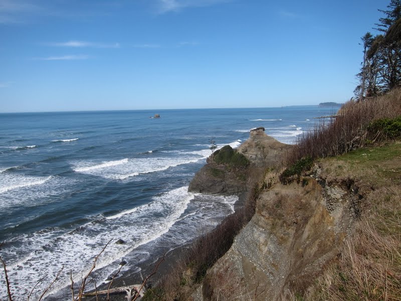
We continue down Hwy 101 where the speed limit mercifully is 60mph in places. We were making good time until stopping at our next photo op along the Pacific Ocean in Olympic National Park.
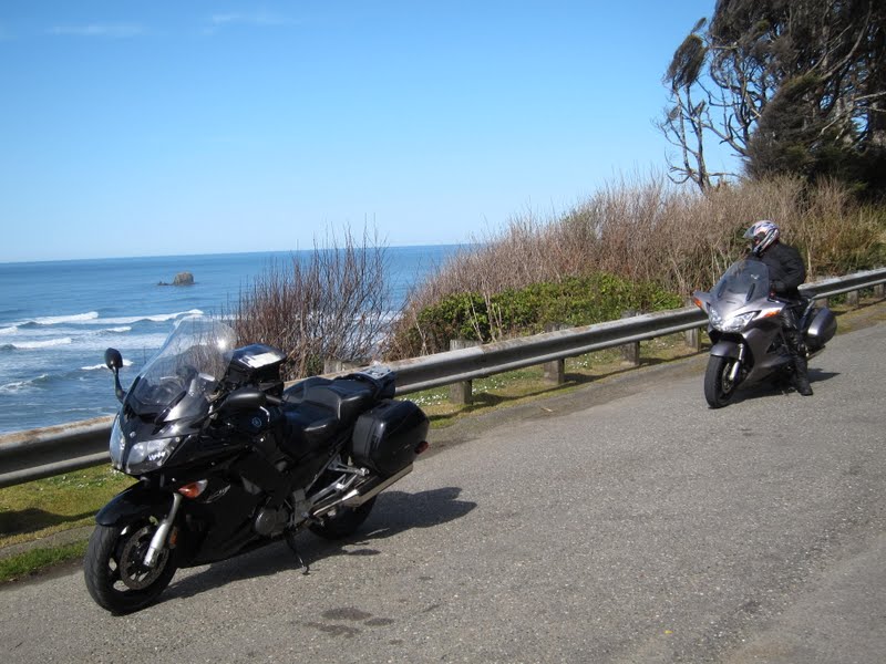
Ocean Overlook near Kalaloch
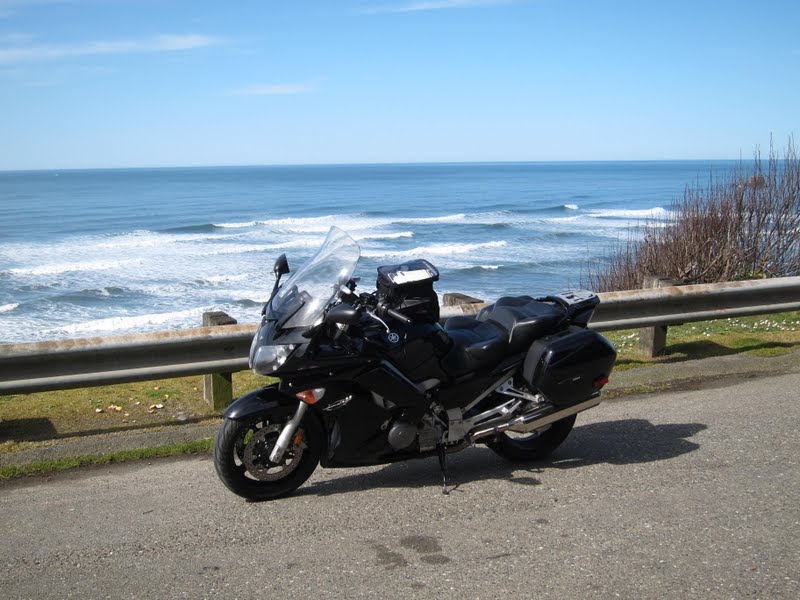
Got there just in time after the fog burnt off.
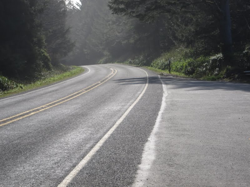
Ocean Overlook near Kalaloch
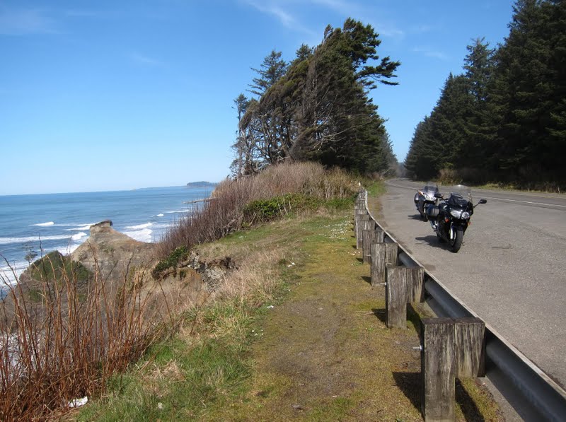
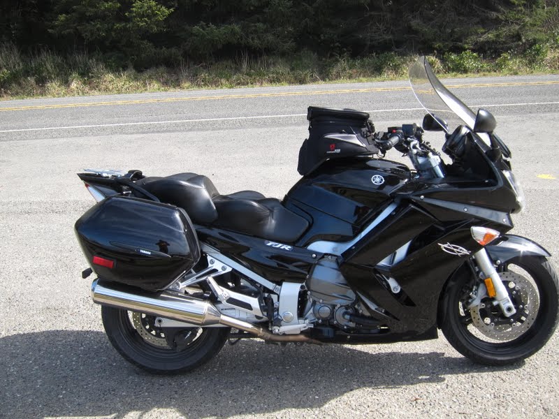
My Feejer
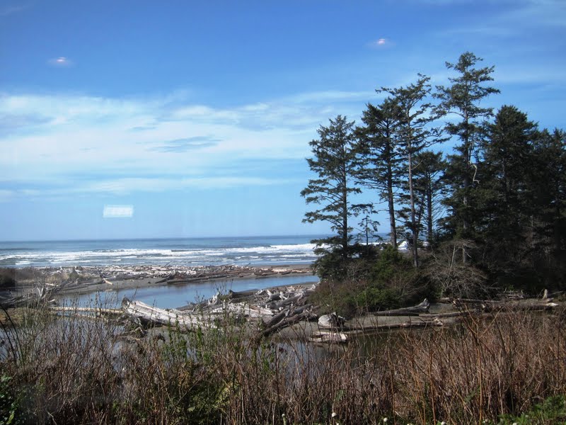
We had lunch at the Kalaloch Lodge. It was a very nice lunch too with a window seat and a million dollar view. They even had some lodging vacancy too. Don’t expect any of that in the summer time.
Kalaloch Lodge from the dining window
After lunch it was time to make time again. We headed toward the twin cities of despair, Hoquiam and Aberdeen. We purposely ate lunch away from these dreary little towns, known for Kurt Cobain of Nirvana fame. I think somebody who can stand to live there ought to open up a Kurt Cobain restaurant. I can see the menu now:
Sandwiches
Deserts
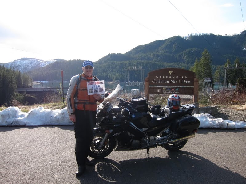
We head up to Matlock and on to Hwy 101 again. From there it was one to Lake Cushman so Fontanaman could bag his first dam for Damtour 2012.
Your truly with the DamTour photo. Now when I am at a Mickey D's does it really look like this is a to go order? Good lord.
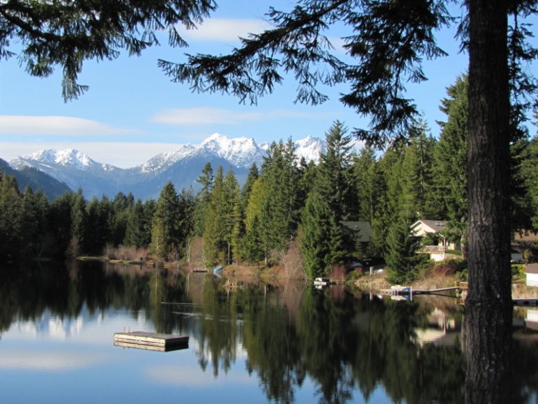
Brian shot this photo of a lake near Lake Cushman damn.
The route for Hwy 101 north of Lake Cushman was discussed in this post.
After Lake Cushman we went home up Hwy 101 to Center Road to Hwy 104 back the ferry and home.
The End.
Early season riding in Western Washington includes the Olympic Peninsula (Oly Pen) due to the lower elevation roads and lack of tourists. Don’t do this ride on a weekend from Memorial Day to Labor Day unless following a passel of RVs is your idea of a good time. Summer weekdays should be fine. Since I am still a working stiff weekends are my only opportunity. If I don’t quit working soon I may be stiff sooner than later.
Prior nearby ride reports from Fontanaman can be found on the forum:
For those new to riding in Washington or those who plan to visit I encourage you to buy riding guide and map Destination Highways. I have no affiliation with these guys but I am always willing to plug a product if it is good. If you buy the book you will save yourself endless hours of research and increase your enjoyment while visiting our great state. Yeah yeah I know it is expensive but what is your precious vacation time worth? Find and read blogs and trip reports like mine or buy the book. Go buy the damn book and map.
Today’s ride is the granddaddy of all Oly Pen rides. Around the whole thing in one day. This is the rider's ride. Not much time for posing, pussy footing or lolly gagging here. Riding this route you will miss a few things and your humble scribe with attempt to point out the missed opportunities along the way.
On the FJR this ride is actually a walk in the park, the park being the whole state of Washington. Say what you will about the weather, and we who live here say a lot, when it is nice here there is no place like it. As evidence the whining on the forum proves we have not seen a decent day here in about a month now. Spring is making up for winters lack of rain. California is in the same bucket. The Cali riders were able to ride the Sierra’s in mid January – not now.
This crazy weather pattern is also messing with Fontanaman’s ride plans to Cali in May.
Rather than solo, my buddy Brian joined me today. We met a 6:15 at McDonald’s near Edmunds Washington. I walk up in full riding gear, sans the helmet and gloves and the robot says is this for here or to go? It only went downhill after that. McDonald’s is known for fast service and for serving Weapons of Mass Destruction for over 50 years was unable to simply make a bowl of oatmeal in less than 5 minutes. Brian and I enjoyed some light conversation and headed to the Ferry Terminal at Edmunds to catch the 7:10 tub to Kingston.
The ferry ride.

Off the boat and on to go we go the historic Victorian town of Port Gamble toward Discovery Bay where Brian stops for a photo op and we resume our ride to Port Angeles, Washington. While on the way to Port Angeles unpleasant memories of my most recent encounter will Law Enforcement Officers rattle around in my brain. Simply put there is no place to ride quickly anywhere on the Oly Pen, especially on Hwy 101 or any of the State Hwys. During this ride we saw the Speed Tax Collectors with at least 4 customers at various points during the day. Speed Tax Collection must be the second largest income revenue behind tourism, cause logging died years ago.
All morning the temps were in the low 30’s and Brian was leading. I noticed him fiddling with his heated jacket temperature controller. Suspecting it was broke we found a McDonalds in Forks to get a cup of coffee, took a break and warmed up. This Mickey D’s stop was better – we only ordered coffee and at $1.00 a cup it is just as good as Starbuck’s at a fraction of the cost. Also using my GPS for routing to a Starbuck’s is a hit or miss deal. You never know if the Starbuck’s is embedded inside a grocery store – an odd rest stop indeed.
The stop in Port Angeles did the trick, the low clouds burnt off, the sun came out and Brian’s heated garment controller officially died after Port Angeles. So the timing was perfect. Our route takes us to one of my favorite roads, Hwy 112. By going this way you miss the Sol Duc Hotspings and the slow and go along Lake Crescent.
Hwy 112 along the water.

Hwy 112

Hwy 112

Hwy 112

My Feejer – she is a beut! The Russell seat is the cat’s meow. The Velvet Hammer. Do tread lightly in these parts tho.

A typical turn on Hwy 112. After the leaves come out and things green up it is even more scenic.

Peak about boo with the Strait of Juan De Fuca. Here is all the stuff you want to know about Hwy 112 of historical and archeological interest. What I know is the pavement is the destination and it is not bad pavement either. A bit of junk on the road and some heaves in places since the road is hanging on cliff.

There a couple of photo ops on Hwy 112. Below is a typical Washington Beach. Canada is in the background.

During this ride we saw 3 border patrol vehicles. Don’t want to speed around them either – they have radios and friends who have cars with blinking lights. We could only wish the guys driving the cars with der blinking light looked light this:

Yours truly.

As we continue down Highway 112 the speed limit continues to drop. This is the entrance to heaven with the sign from hell. 40mph is more appropriate for grandma driving a 1963 Chevy Impala with a straight six and a Slip-In-Slide Power glide. This is also sport bike heaven and LEO knows it, so we poke along at 45mph.

The pavement is good here too. The last few miles of Hwy 112 follows along the Pysht River and like most roads following a river are exceptional. The river is to the right in this link.

As Hwy 112 end, we continue on Hwy 113 to Fork. This means we don’t get to continue along 112 to Cape Flattery an excellent ride nor to Lake Ozette. These are places you may want to visit during your trip to the Oly Pen.
Cape Flattery Photo from August 2008 along with a story from the local newspaper.

Hwy 113 is very interesting and twisty road in the same vein as Hwy 112 but we had stopped enough today and it was time to make time. So we did, within the speed limit of course, mostly. Hwy 101 came quickly and we headed toward Forks. Looking at my GPS I notice the town of Beaver coming up. My mind, being what it is, began mulling the possibilities. The Forum is having an effect on my and it is not a good one. No road sign welcoming us to Beaver. What else is new? I did notice this though, the Beaver Fire Department. Imagine being recused by the Beaver Fire Department, you might never live it down.
We blow by Beaver on to the town of Twilight fame Forks Washington. They didn’t even shoot the damn film here, whatever. People come in droves any way just because of the movie. Forks in the summer time makes for interesting people watching with the locals mixing with the tourist comprised of deep sea fishermen, Twilight weirdoes and hikers and kayakers. Nuts to Twilight and nuts to Forks, one of the few places in the State where all the restaurants are a gastronomical nightmare or otherwise unappealing. Brian and I are happy to gas up and leave. A lunch stop is near but it is not here.
We continue down Hwy 101 where the speed limit mercifully is 60mph in places. We were making good time until stopping at our next photo op along the Pacific Ocean in Olympic National Park.

Ocean Overlook near Kalaloch

Got there just in time after the fog burnt off.

Ocean Overlook near Kalaloch


My Feejer

We had lunch at the Kalaloch Lodge. It was a very nice lunch too with a window seat and a million dollar view. They even had some lodging vacancy too. Don’t expect any of that in the summer time.
Kalaloch Lodge from the dining window

After lunch it was time to make time again. We headed toward the twin cities of despair, Hoquiam and Aberdeen. We purposely ate lunch away from these dreary little towns, known for Kurt Cobain of Nirvana fame. I think somebody who can stand to live there ought to open up a Kurt Cobain restaurant. I can see the menu now:
Sandwiches
-
- Chronic Depression Burger
- Endless Welfare Addiction BLT
- Rape Me Turkey Melt
- Lithium with Tuna Fish
Deserts
- All Apologies Brownie Laced with Lithium
- Shotgun Seattle Finally - the last desert you will ever have.
We head up to Matlock and on to Hwy 101 again. From there it was one to Lake Cushman so Fontanaman could bag his first dam for Damtour 2012.
Your truly with the DamTour photo. Now when I am at a Mickey D's does it really look like this is a to go order? Good lord.

Brian shot this photo of a lake near Lake Cushman damn.

The route for Hwy 101 north of Lake Cushman was discussed in this post.
After Lake Cushman we went home up Hwy 101 to Center Road to Hwy 104 back the ferry and home.
The End.
Last edited by a moderator:


