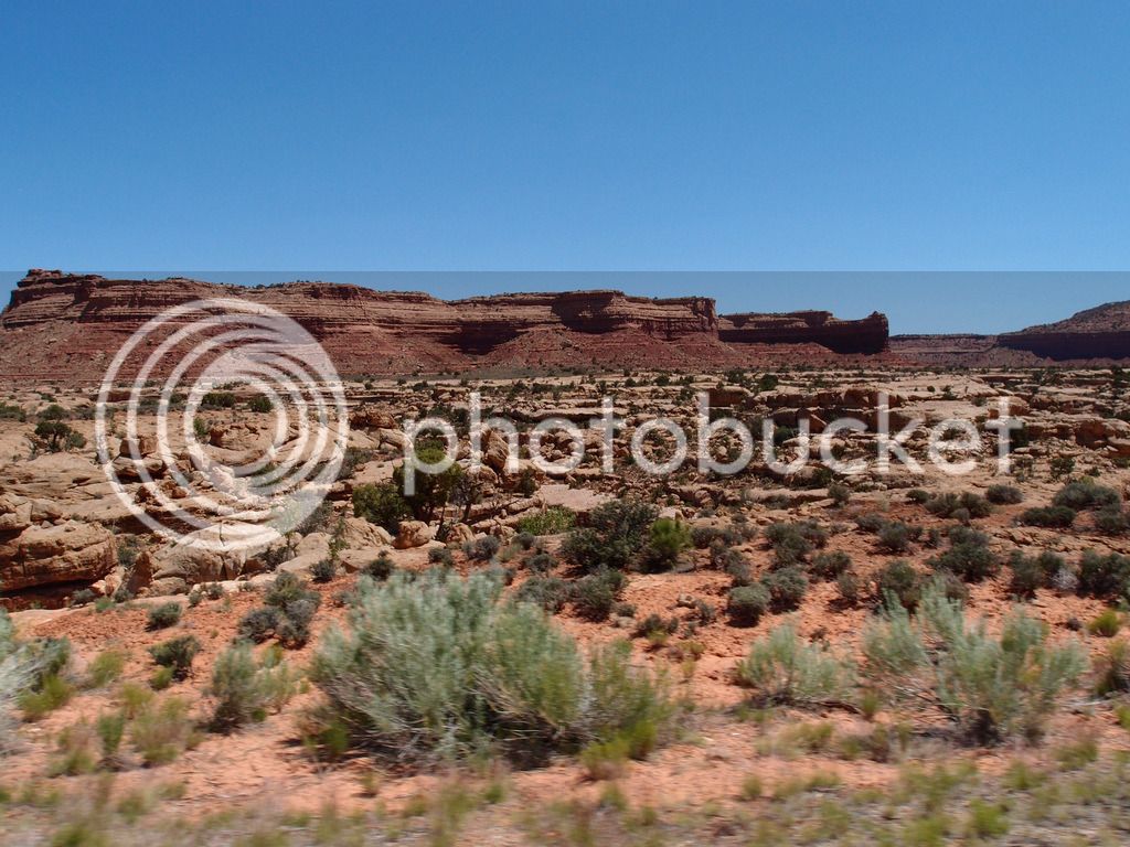
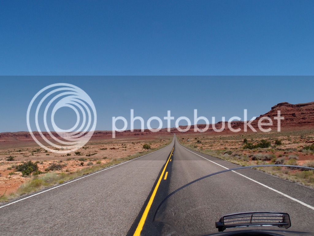
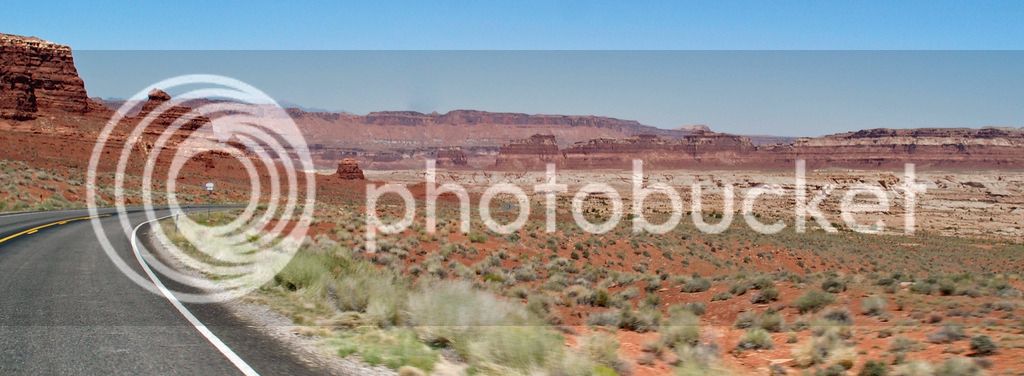
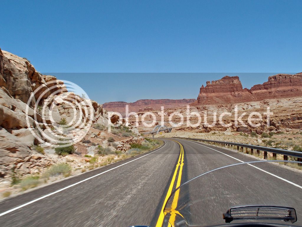
Paul and Tammy's 2wk Grand Canyon SW Adventure

Yamaha FJR Motorcycle Forum

Help Support Yamaha FJR Motorcycle Forum:

This site may earn a commission from merchant affiliate links, including eBay, Amazon, and others.

Goodman4

Pressing on
Joined
May 18, 2012
Messages
580
Reaction score
363
Location
Hopkinsville, KY
P6063846.jpg


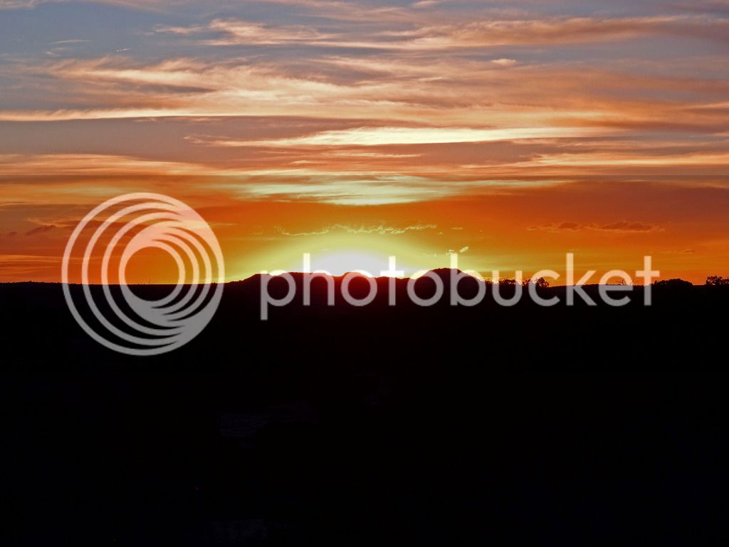
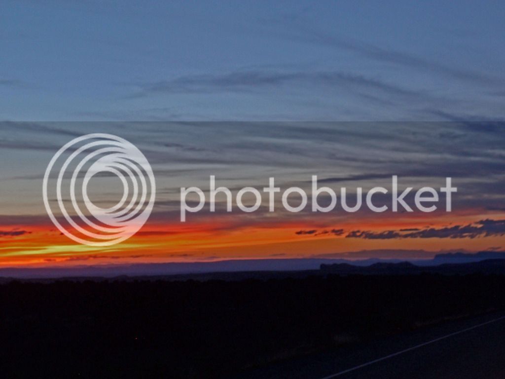
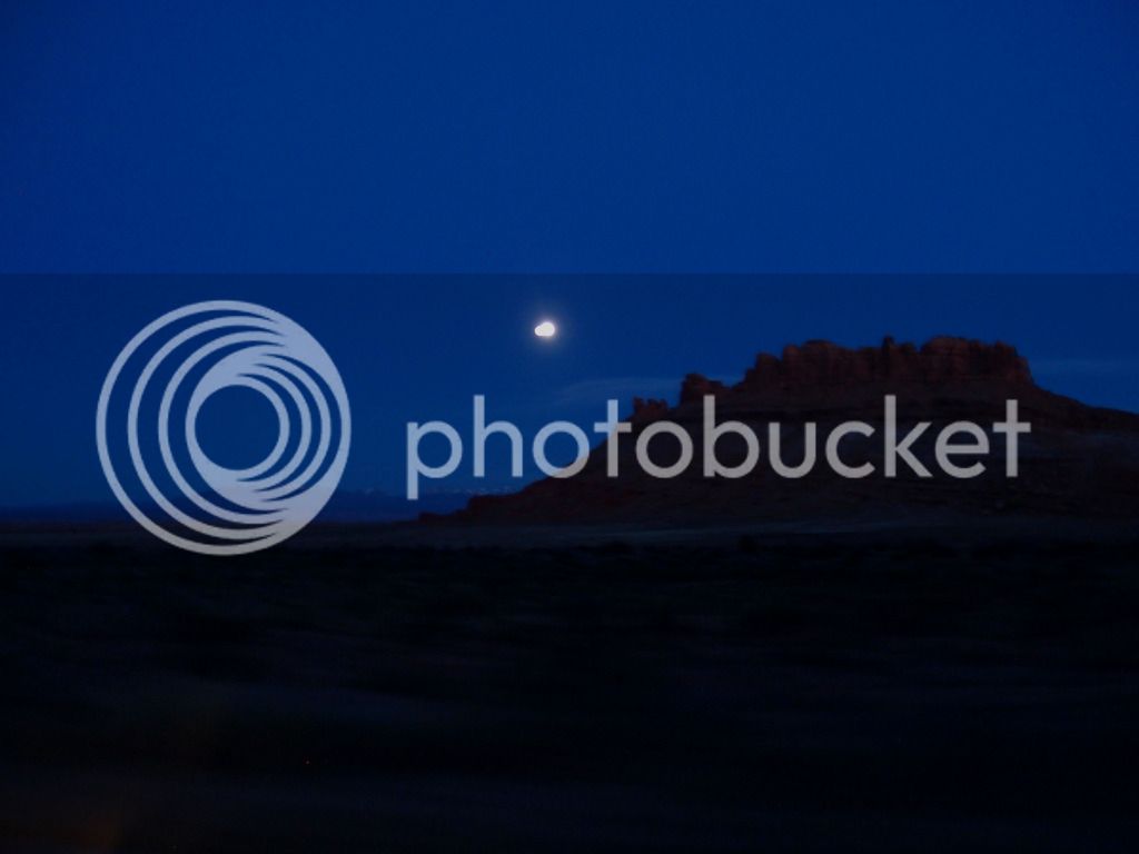
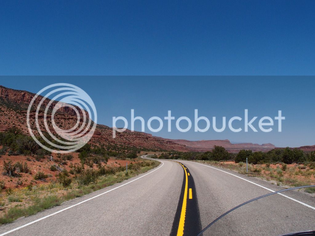
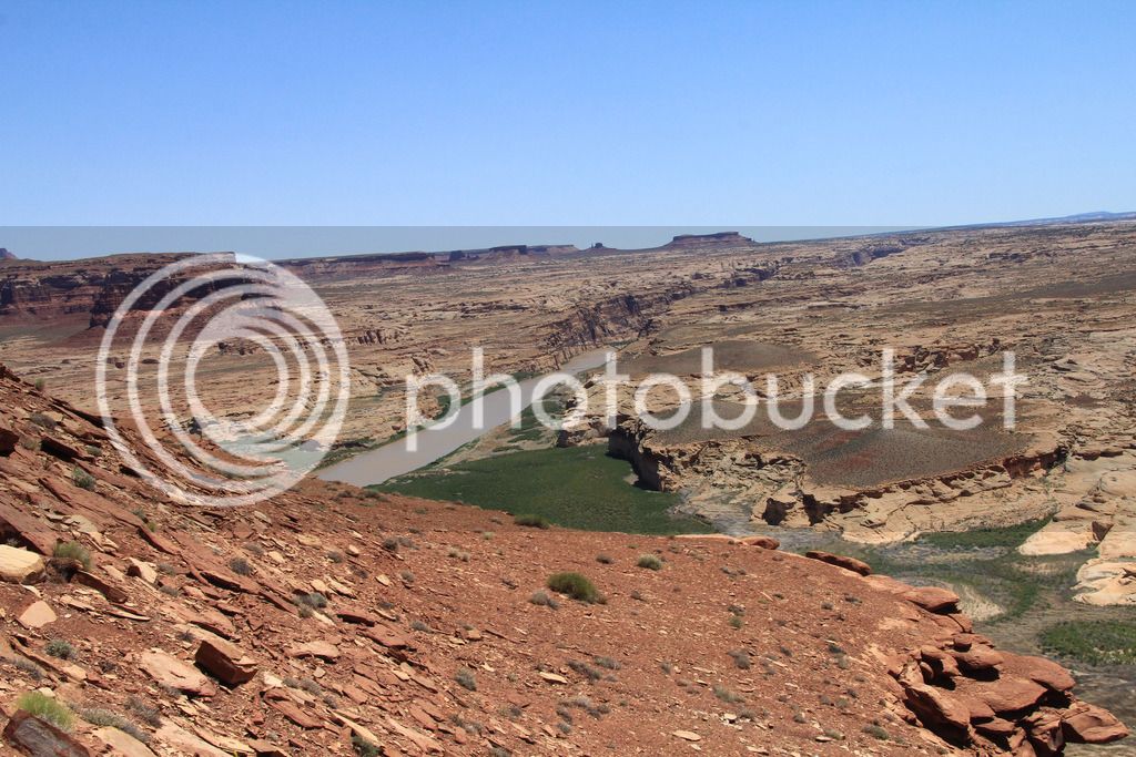
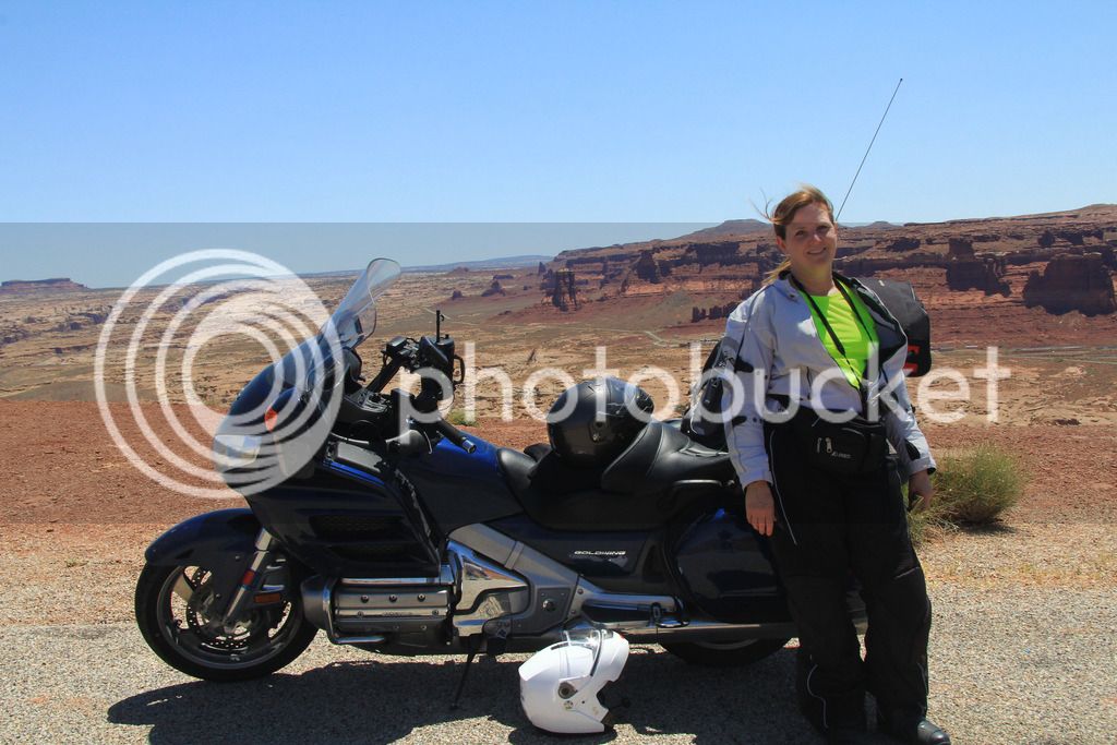
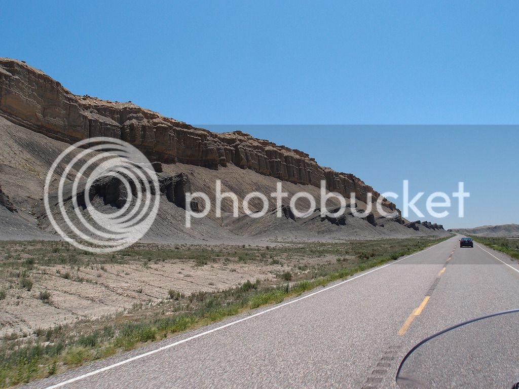
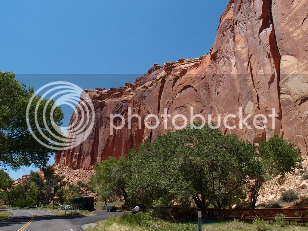
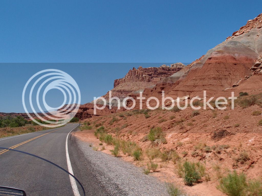
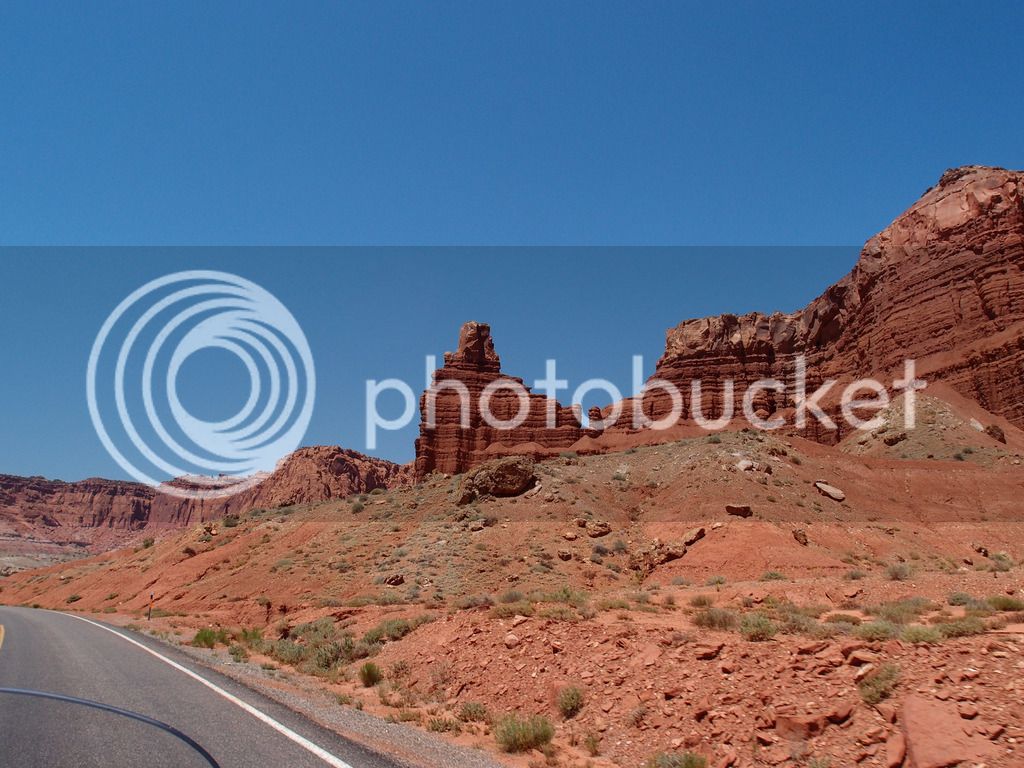
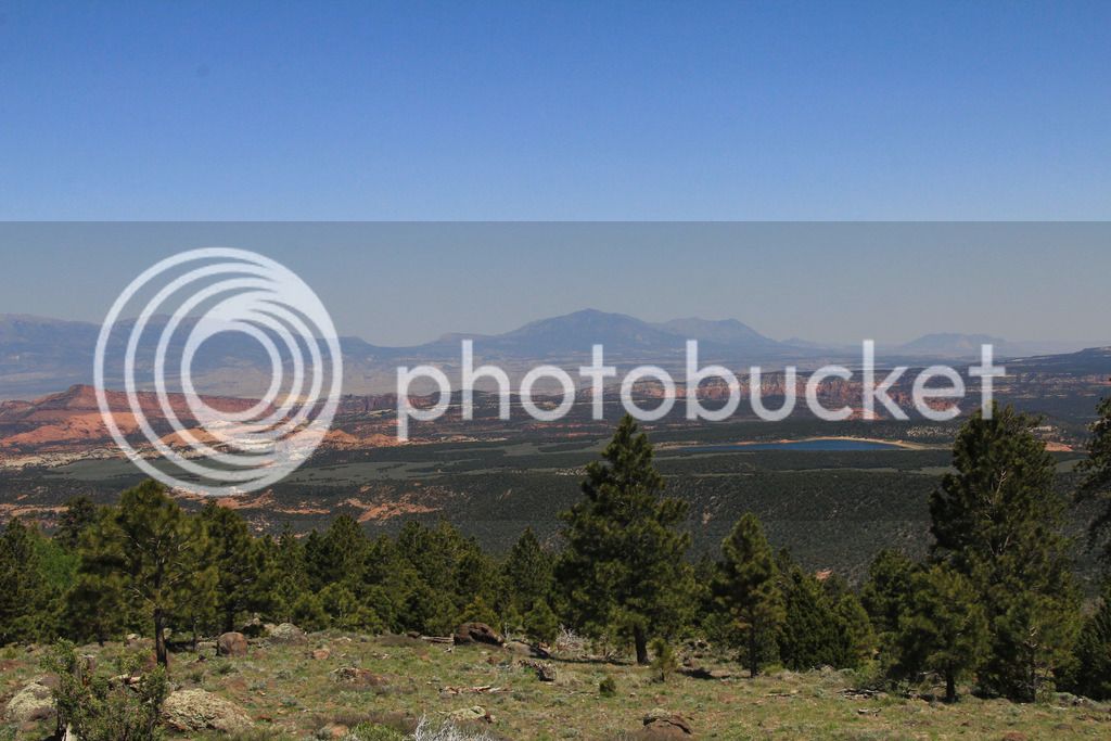
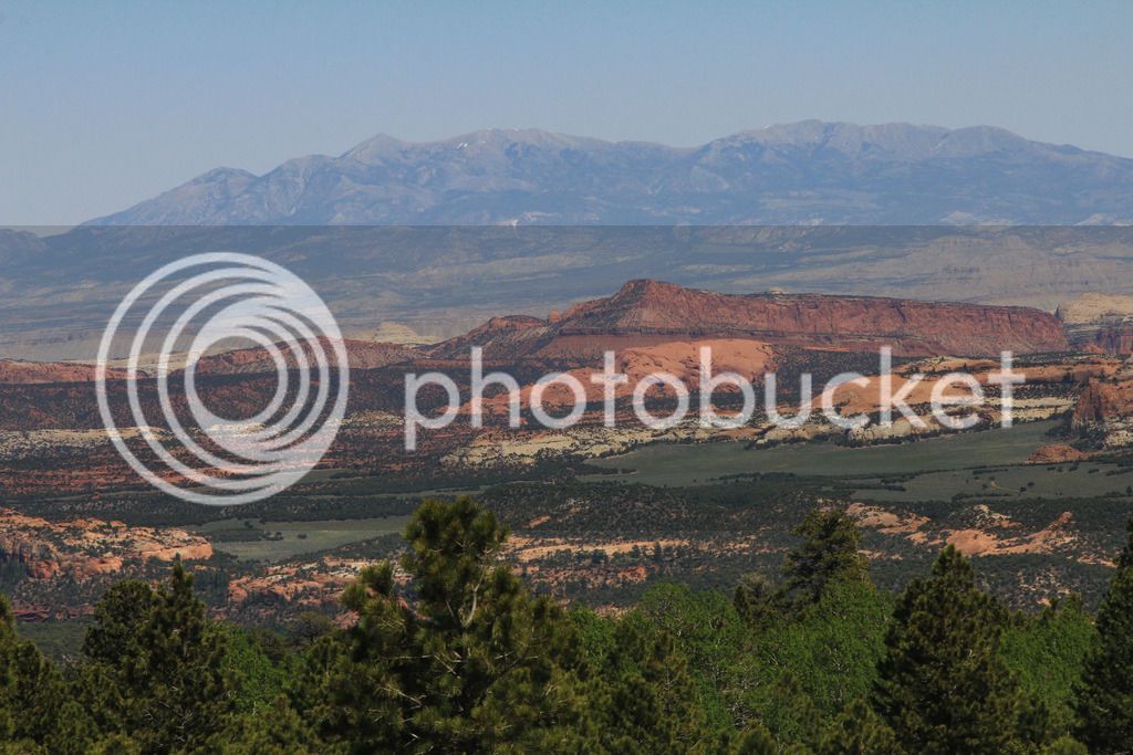
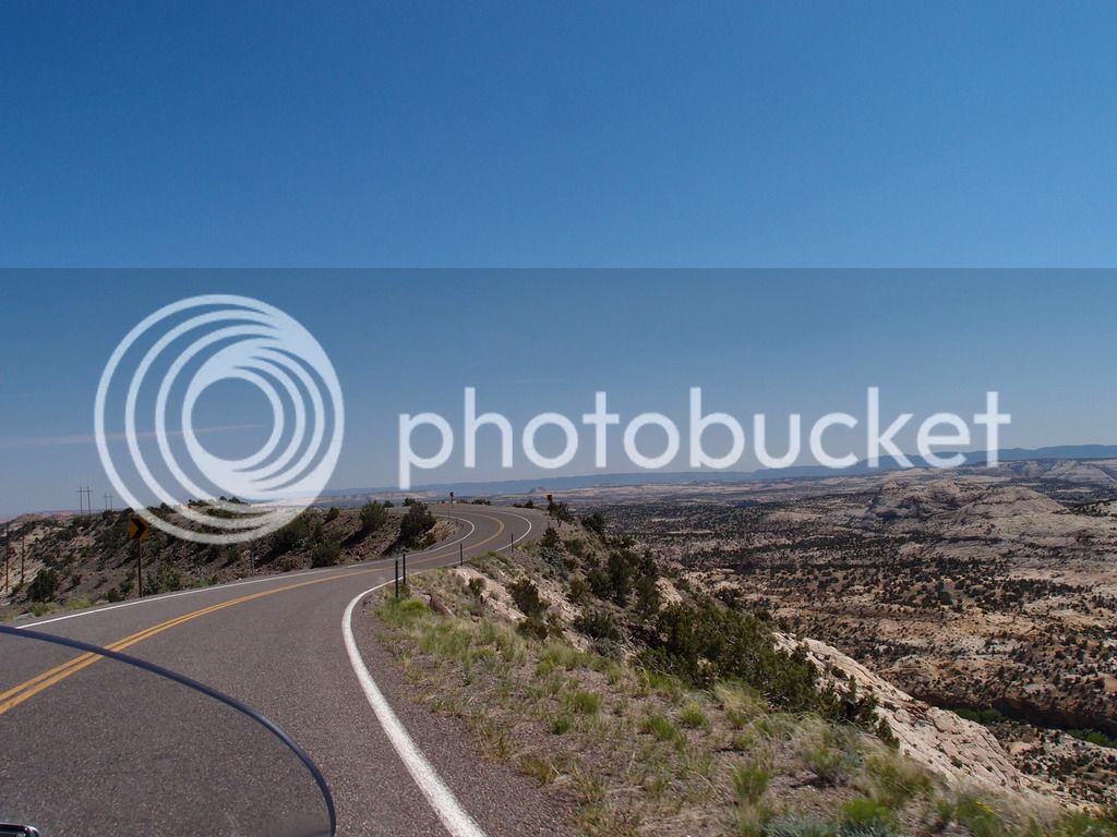
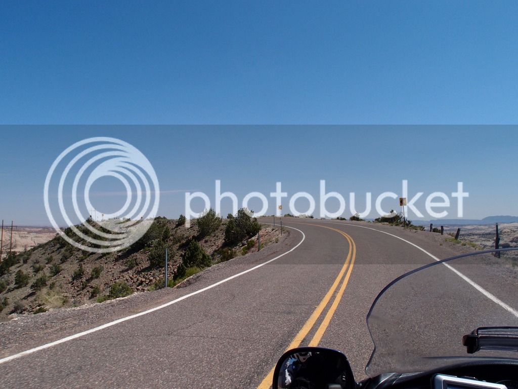
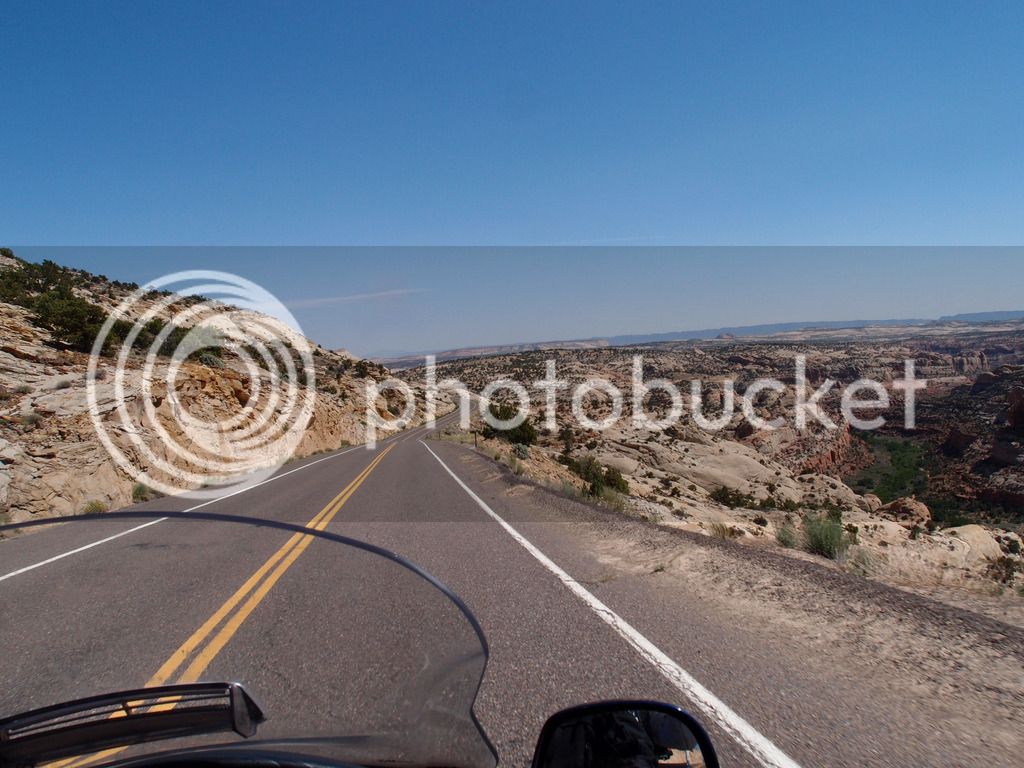
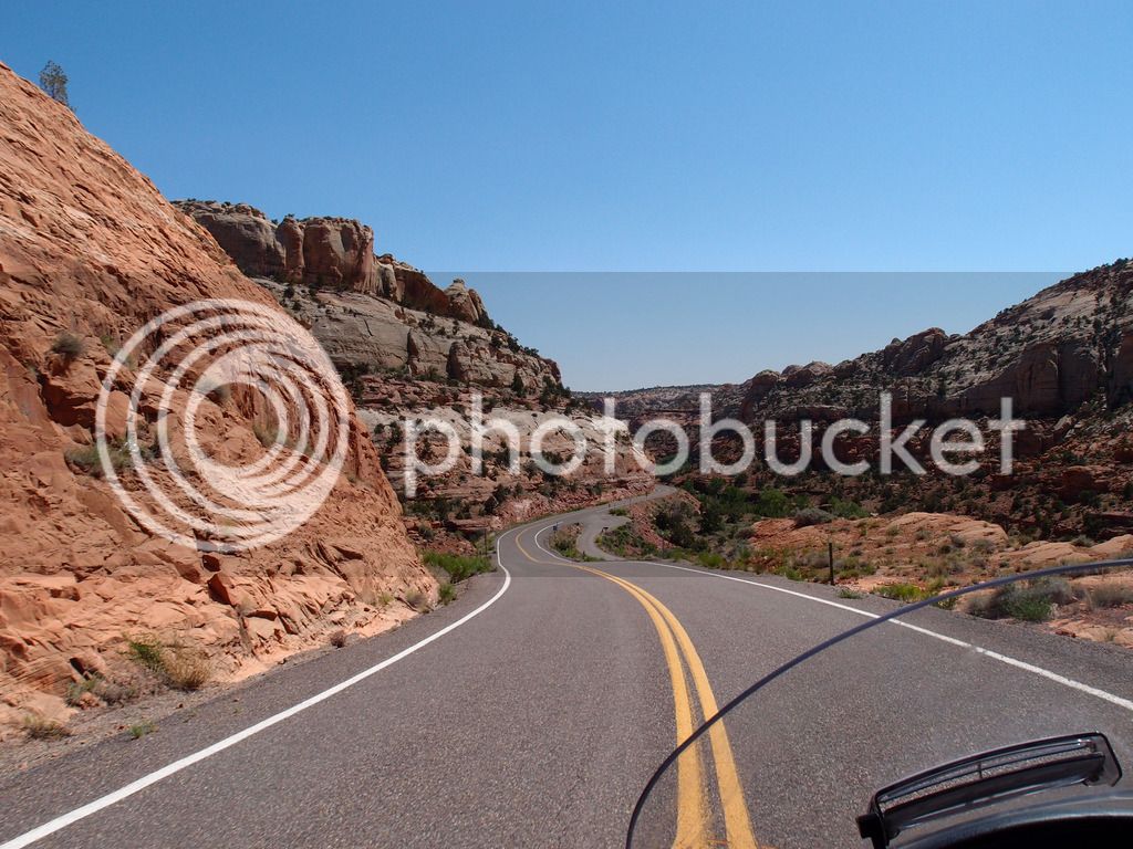
Here's lots of pics and my trip report of our 5400 mile trip out west from May 28 to Jun 13, 2015. We focused heavily on the Utah parks for the first half, took a day to see Hoover Dam and Las Vegas, saw the Grand Canyon at the north rim, spent a couple days in Page, AZ, then saw some highlights in CO before heading home.

Here's the Spotwalla track:

2015%20GC%20SpotTrack.jpg


This trip has Grand Canyon in the title mainly because that is what it originally started out as. But after the plans came together the Grand Canyon was only a small part of our trip and while it made our top 10 sights, it probably didn't make our top 5. That's not because the north rim isn't spectacular, but because so many things were even more amazing to see.
IMG_8619.jpg


I'd like to start by thanking the FJR Forum for the great advice on choosing the highlights. Several people helped in various ways. I think it was BeemerDon who pointed me first to the general area and timing we focused on instead of heading straight to the south rim in Spring as we originally planned. That would have been a huge mistake. We copied most of our Utah route directly from WheatonFJR's trip report. Special thanks to Redfish Hunter who directed me to WheatonFJR's report in the first place, and offered key advice to some significant sights and roads. HotRodZilla even talked to me on the phone to clear up some New Mexico road advice.
IMG_8164.jpg


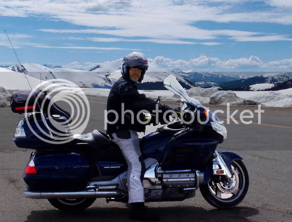
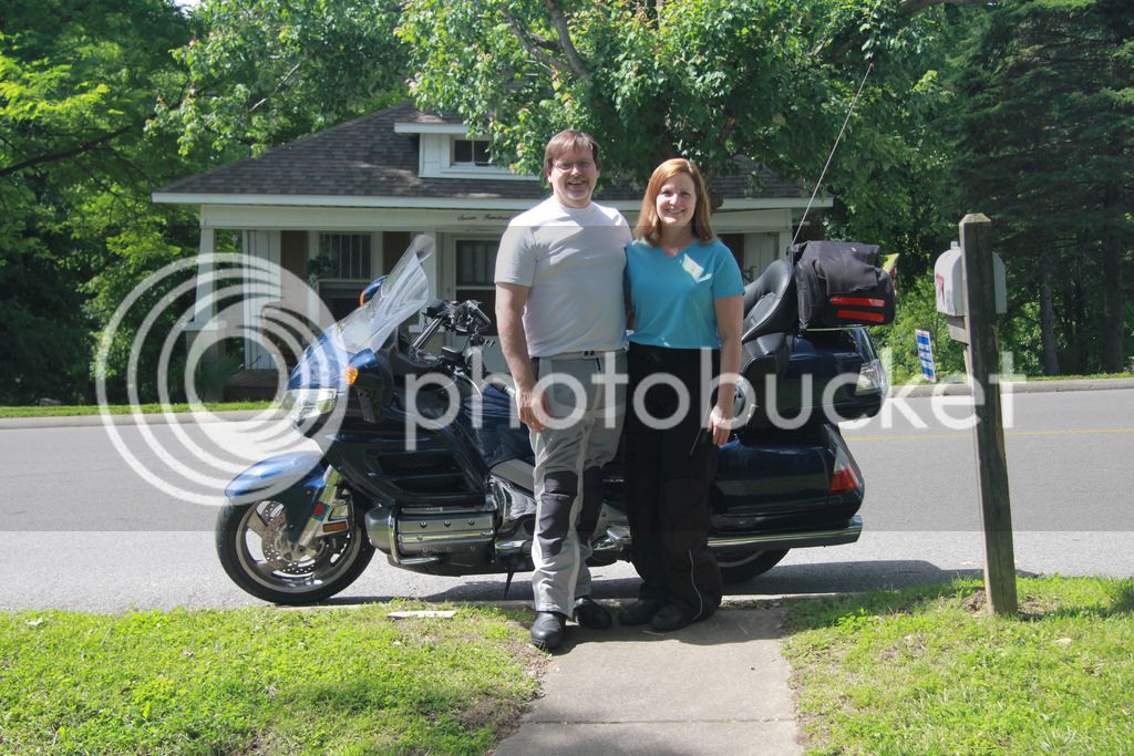
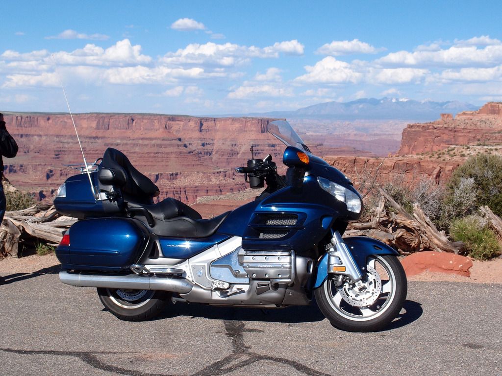
This was our second 5,000 mile trip on the Goldwing and I don't think Tammy is going to let us take the FJR on any trips over 100 miles anymore due to her leg pain and how much difference it makes for her on the Wing. I still get to ride the FJR all the time, so it still gets more miles than the Wing and isn't too jealous when I take the Wing out of the stable.
P6013197.jpg


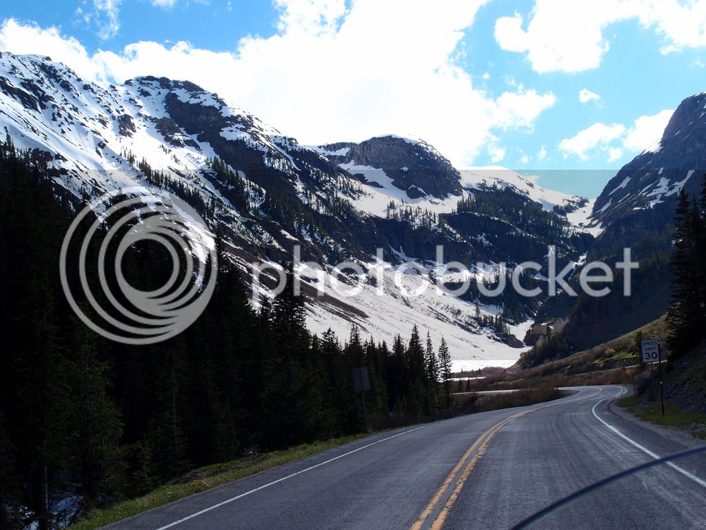
I use a Canon 60D and love to take pics, but a lot of these in the report are Tam's as she snaps pics from the back of the bike with our Olympus XZ-1 and likes to capture the feel of the road.
P6084150.jpg


The trip started on Thursday when I took off early from work and drove to my sister's in Southern IL where Tam had dropped off our daughter. I picked her up to start the real journey.

Since I got off early, we altered our plans to go farther than Poplar Bluff as planned. There's not many places to stay on 68 unless you liked Deliverance themed motels. I try hard to get us decent hotels since Tammy is willing to go on these trips with me. We are not fancy people in any form of the word, but she can't stand a dirty motel room, so it's a small sacrifice I make to find decent rooms. TripAdvisor is my friend. Anyway, we made really good time and were ahead of the rain coming in, so I called my nephew in Springfield, MO and he said he'd cook us late hamburgers if we made it that far. Free food and room - can't beat that. 439 miles that afternoon / evening
IMG_8169.jpg


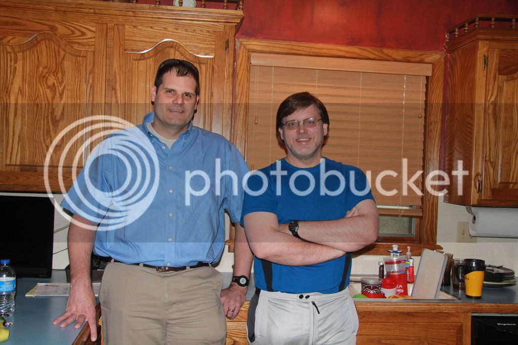
I found out last week he upgraded his dirt bike to a Super Tenere! Looks like some Arkansas riding in our future.

Unfortunately as we were coming in, we hit a heavy downpour the last 40 minutes. We had time to put our rain jackets on but not pants and we got pretty soaked.

We checked the weather in the morning and there was a huge line of storms moving straight north near from the Oklahoma line to almost OK City and no way to avoid it. So we left early in full rain gear and just plowed right through. Didn't like the Tulsa traffic in the downpour but we made it.

I wish we had prepared for the toll roads. They were a real pain, but once we got to Oklahoma City, it got worse. There were no longer people at the booths and they only took change. At least the rain stopped but we ran out of change. You can call and pay by credit card we finally found out after a lot of frustration.

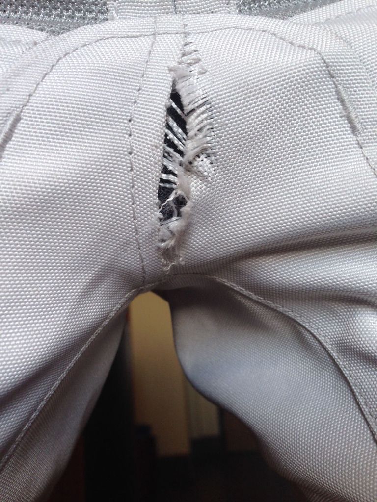
This is about the time when I had a gear defect. I had bought a new pair of Rev-IT Horizon pants just before the trip. I looked down and noticed the stitching in my crotch was pulled out and I had some extra ventilation.
IMG_0540.jpg


I called Revzilla and sent them the pic above. They said the warranty would cover it and they felt the gap would not go past the other seams so they didn't want me to have to try to find another pair of pants. They were right, but it was interesting.

That afternoon on I 40 a deer tried to run out in front of us but I sped up since he wasn't going to make my trajectory. He tripped in the ditch and fell down trying to get to the road to meet me. He shouldn't have tried so hard but he was determined. Maybe they were having some kind of rally.

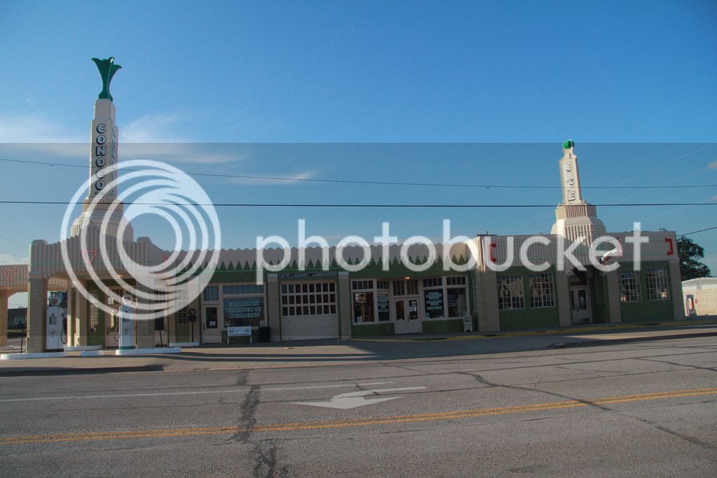
On Friday night we originally planned to make it to El Reno, OK but with the extra miles Thursday we were able to easily make Shamrock, TX with 485 miles ridden Friday.
IMG_8173.jpg


This is the U-Drop Inn which is about the only interesting thing in Shamrock. Our hotel was great but the town seemed in bad shape. The Conoco station was an original from Route 66 and Ramone's from the Cars movie was patterned after it. There is a replica at Disneyland.
P5302888.jpg


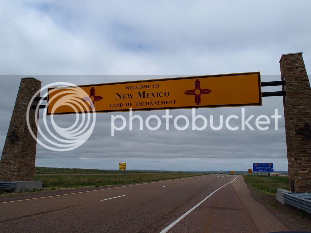
Saturday we drove across north Texas and into New Mexico. It was my first time being in New Mexico so it was interesting scenery.
P5302897.jpg


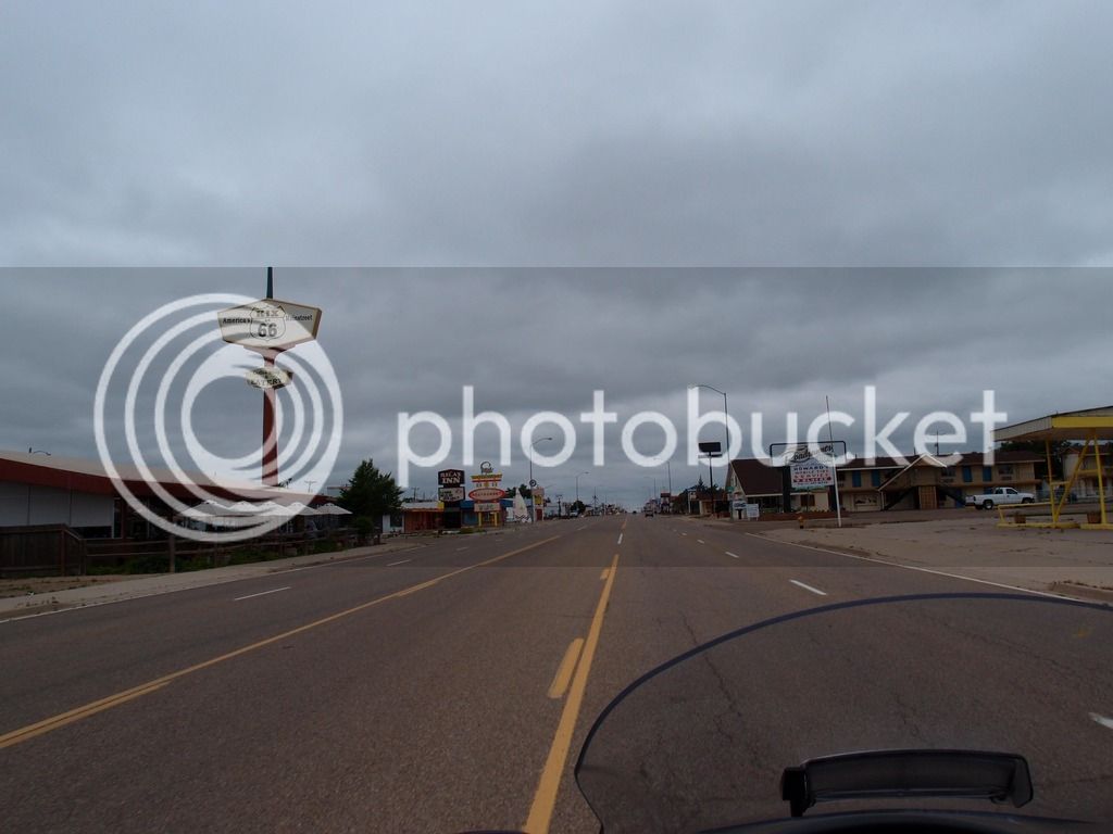
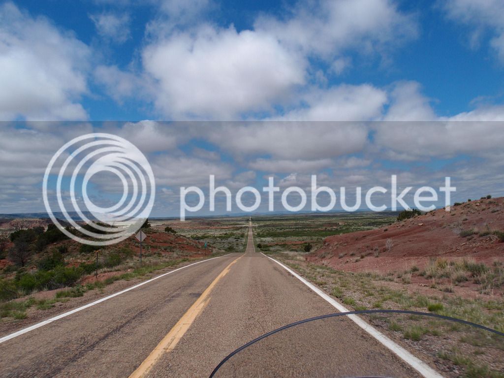
We got off the Interstate in Tucumcari to ride up 104 to Las Vegas. Although it was crazy straight roads to Conchas, the greens and reds against the blue sky made for dramatic scenery over every hill.
P5302908.jpg


I wasn't sure how tight the speed limit was on that road but we met a cop when I was going 67 even though I think it was 55. He didn't flash his lights so I set the cruise there on 67. I wasn't watching the rear and in another 15 minutes a cop surprised me from behind and passed me going probably 80.
P5302935_edited-1.jpg


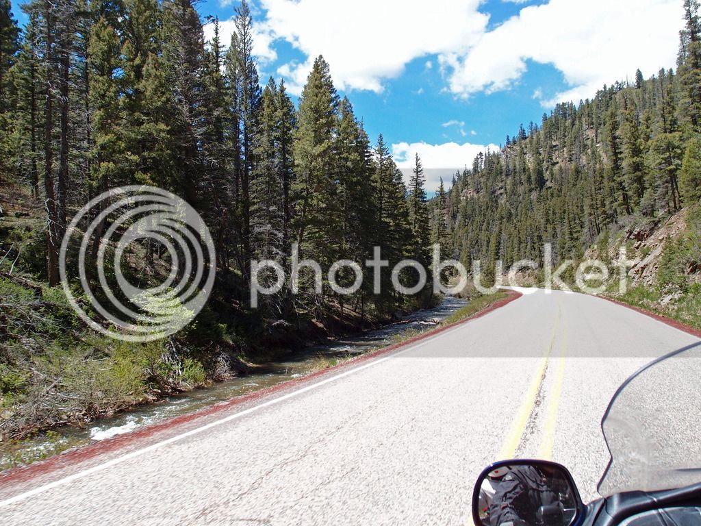
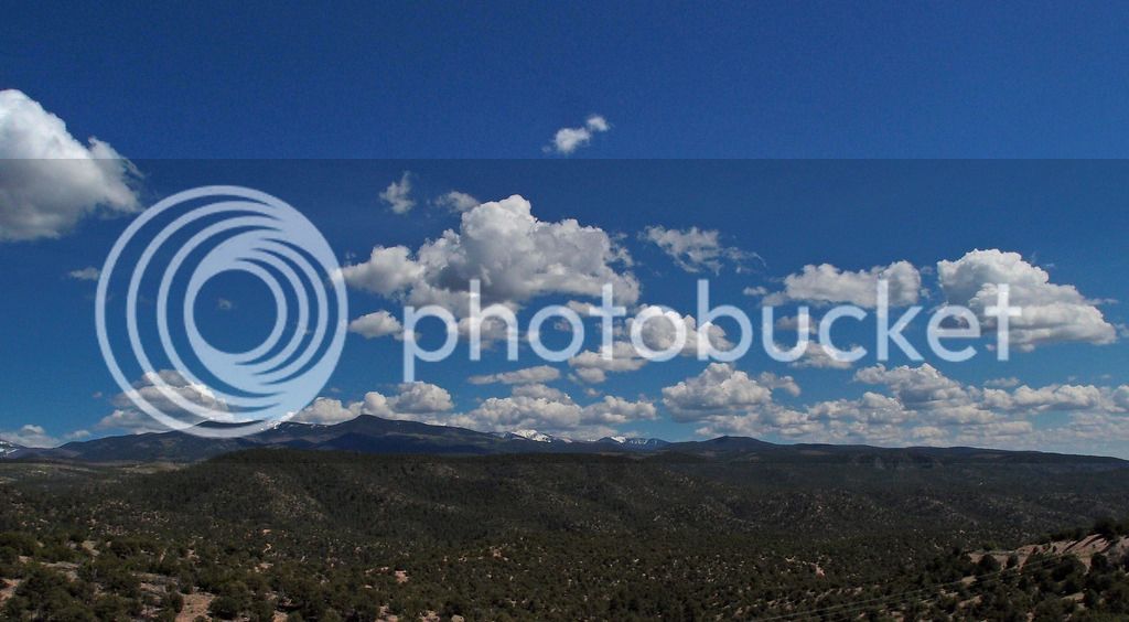
After Las Vegas we took the scenic route to Santa Fe. We went over the hills on 518 through Sipapu. The pic above is near Tres Ritos. Then we took part of the High Road to Taos Scenic Byway in reverse down to Santa Fe, shown below. These were good roads, but not our favorites.
P5302947_edited-1.jpg


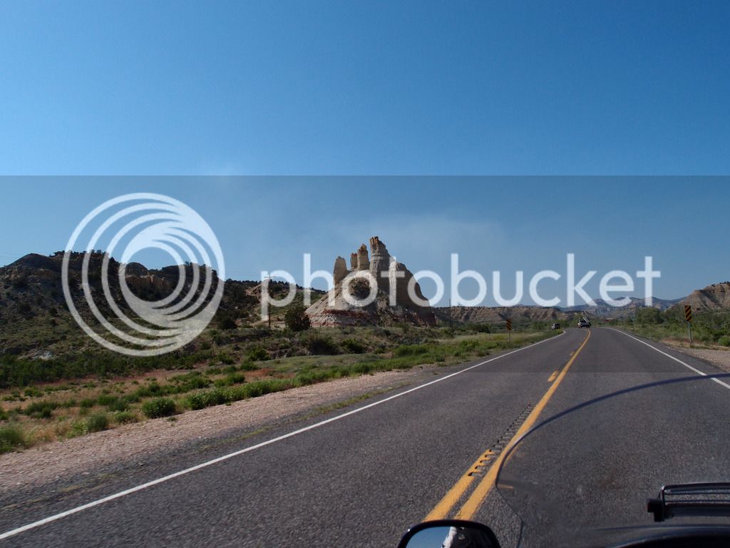
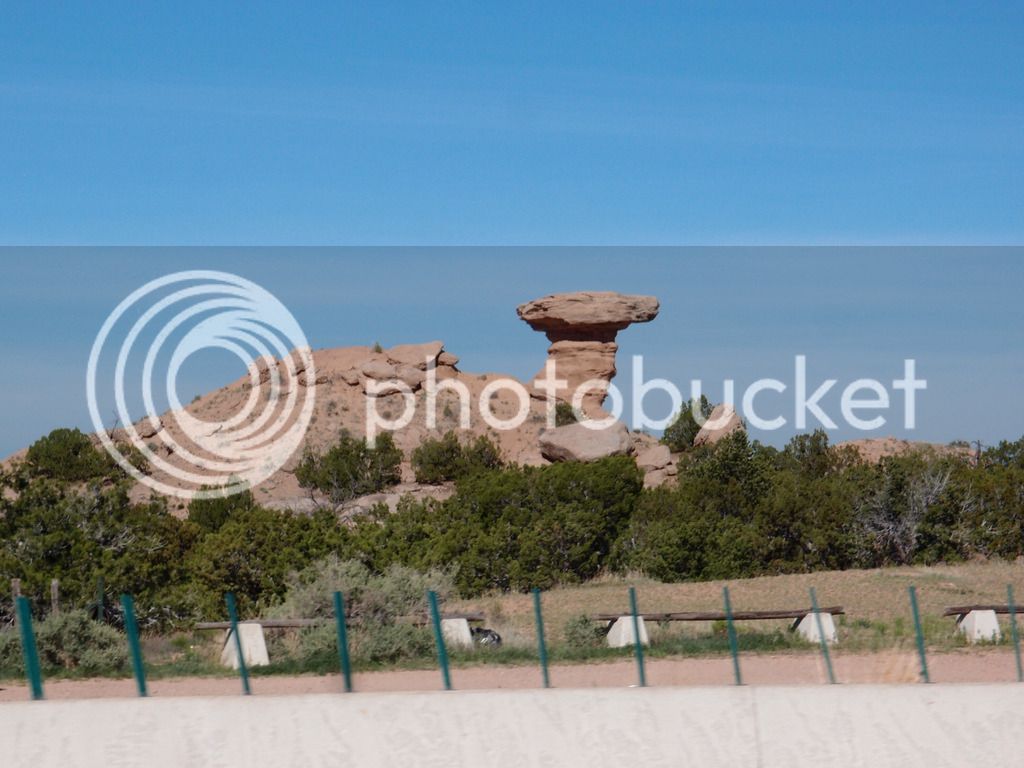
Camel Rock lets us know we are almost in Santa Fe. 449 miles.
P5312958.jpg


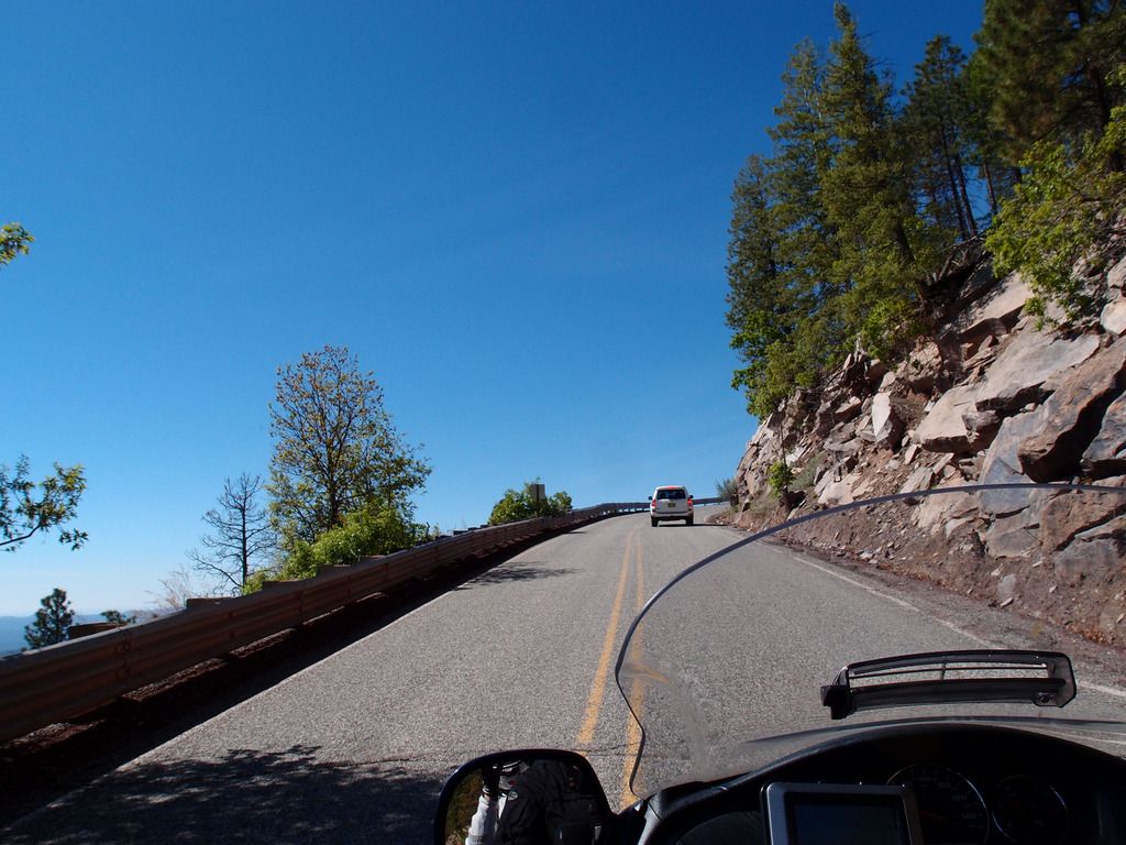
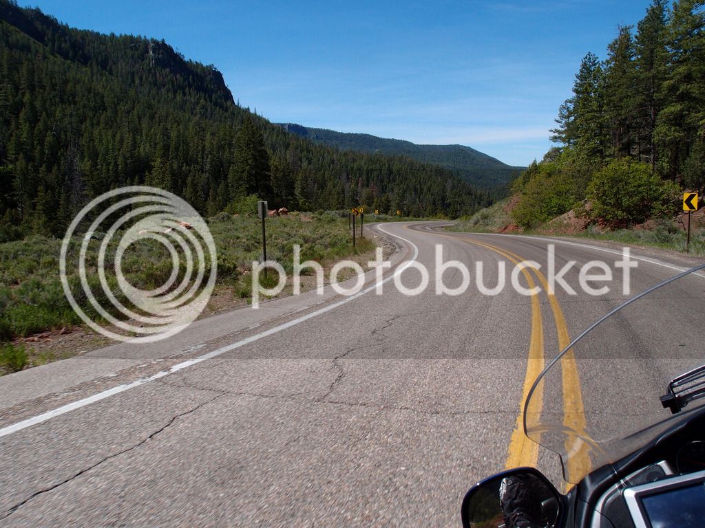
Sunday we needed to make it to Moab and since we were still ahead of schedule we decided to go through Los Alamos on Hwy 4. I didn't have that pre-routed in detail and the GPS took me around the north side of Los Alamos Labs instead of south of it on 4 through White Rock. I probably missed some good road there because when we did get on 4 it was awesome. I strongly recommend that twisty scenic road.
P5312972.jpg


P5312979.jpg


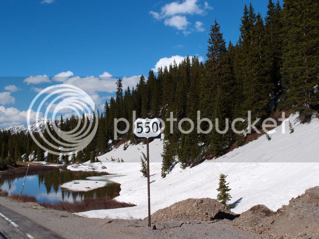
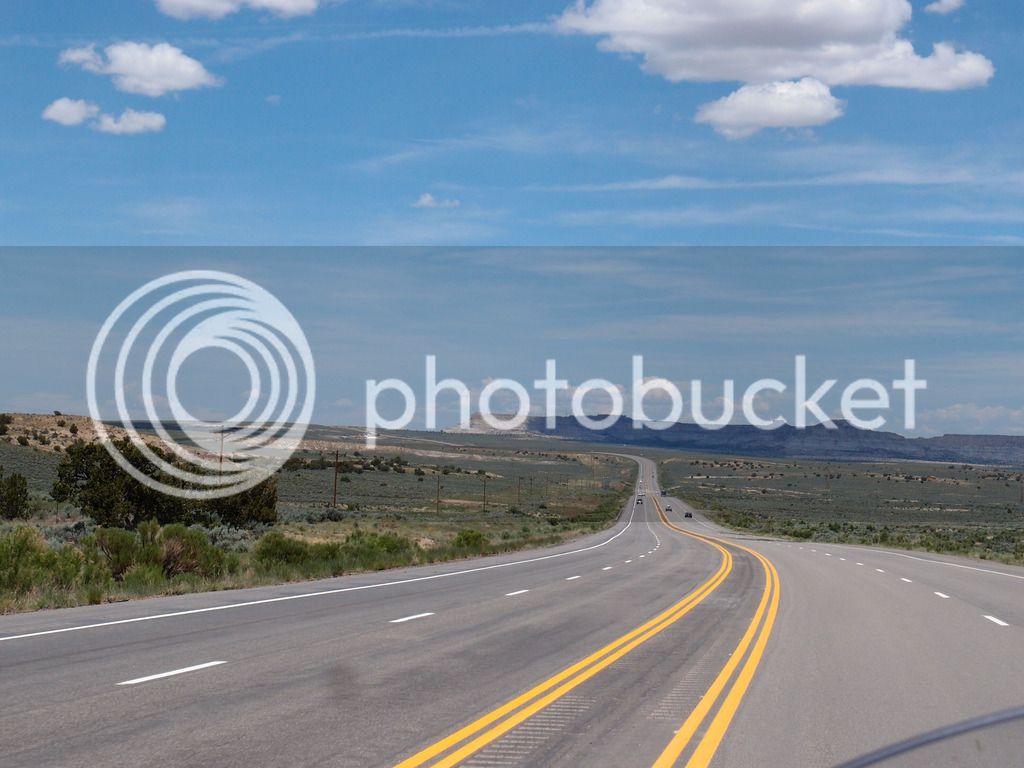
From there we looped down to hit 550 which we took up to 64 at Bloomfield. Here is the road near Nageezi:
P5313010.jpg


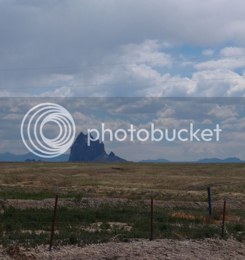
Then through Shiprock

P5313026_edited-1.jpg


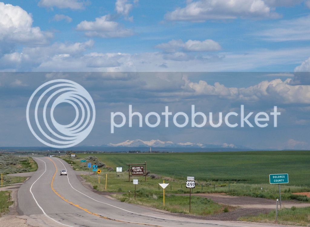
Then up Devil's Highway 491 which was Hwy 666 until 2003.

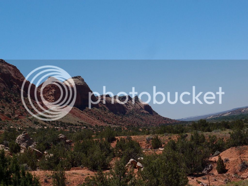
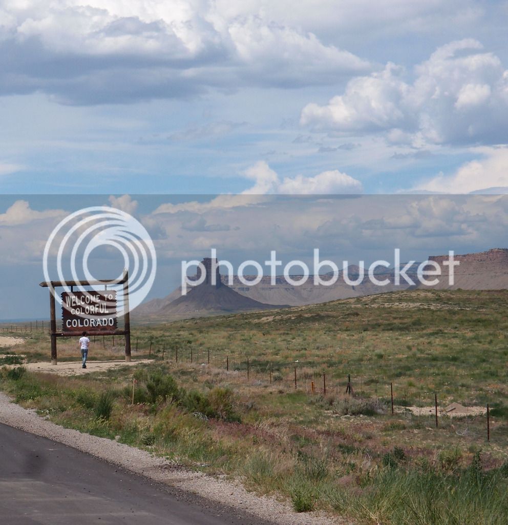
Crossing into Colorado was close enough to Monument Valley that the scenery was similar even though the fields were more green with gray rock than the red we would experience in Utah on the way back through.
P5313039_edited-1.jpg


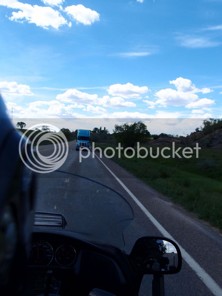
Just past Cortez, Co on Devil's Highway it looked like the devil was gonna get us:
P5313062.jpg


...

It was just a truck pulling a semi cab backwards. But it looked freaky in our lane.
P5313064.jpg


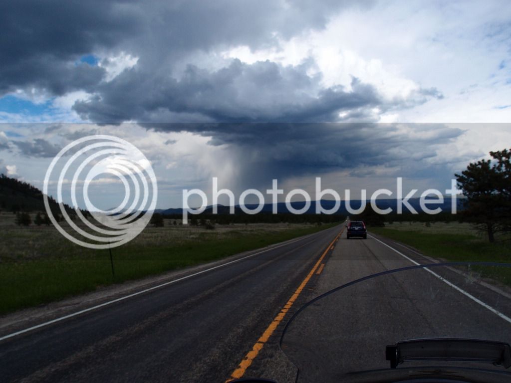
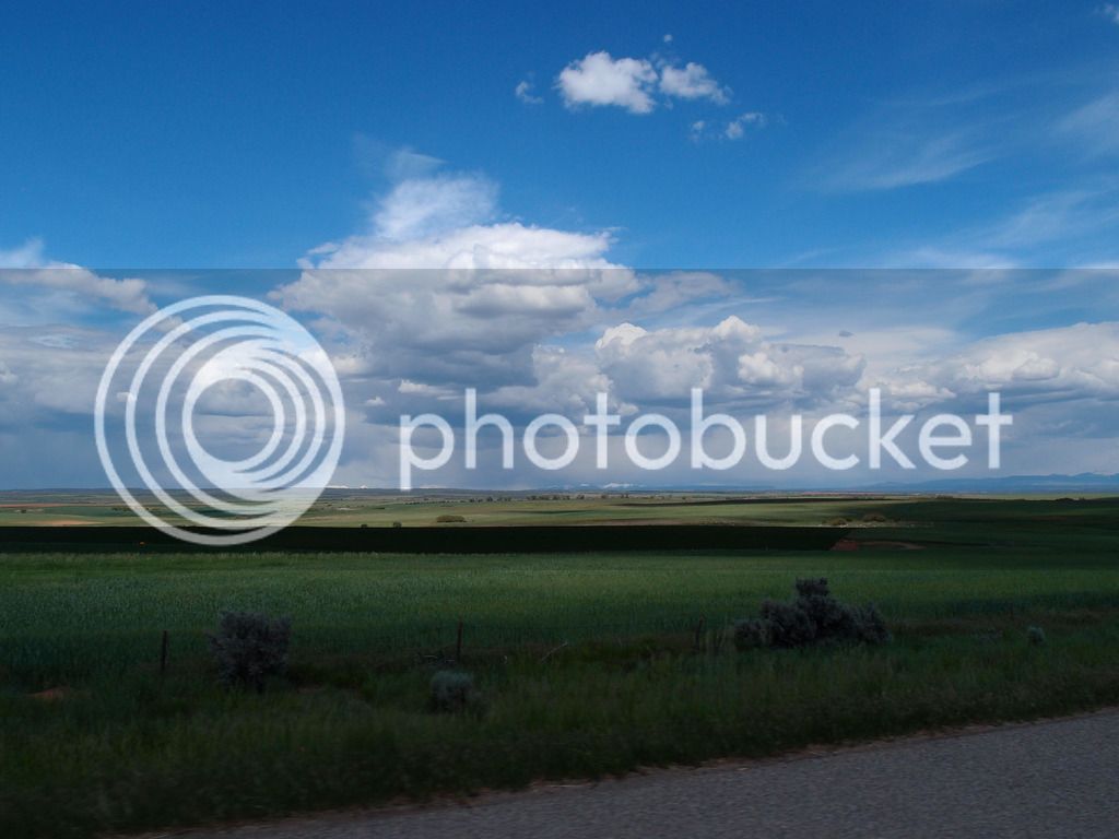
This was in SW Colorado near Yellow Jacket. Rain in the distance but clear for us with nice scenery.
P5313069.jpg


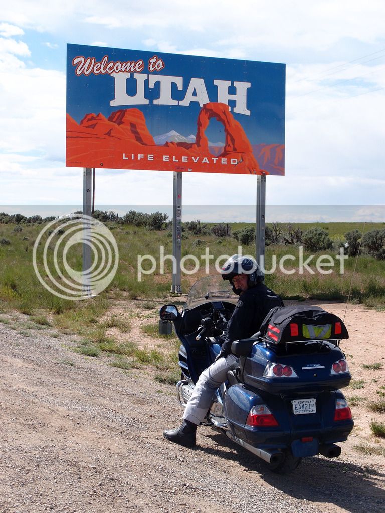
Made it to Utah.

P5313071_edited-2.jpg


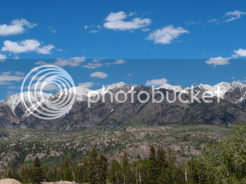
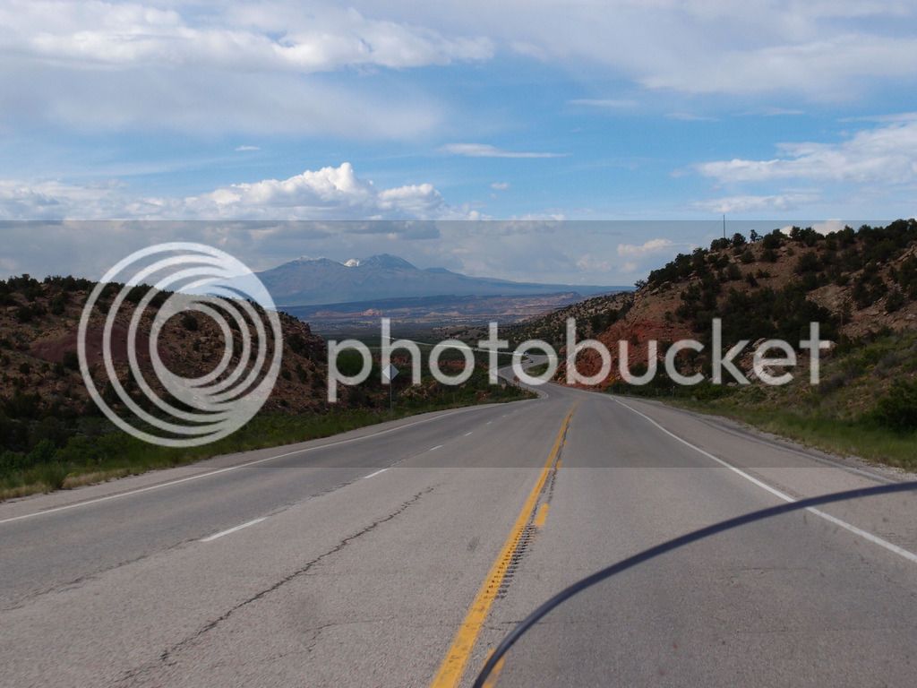
Looking back into Colorado at the San Juan mountains
P5313077.jpg


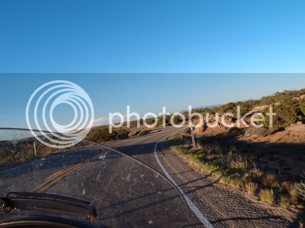
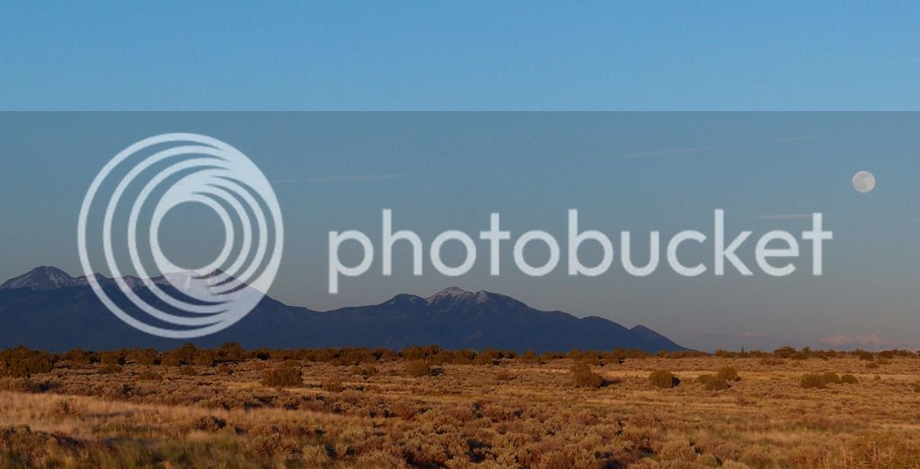
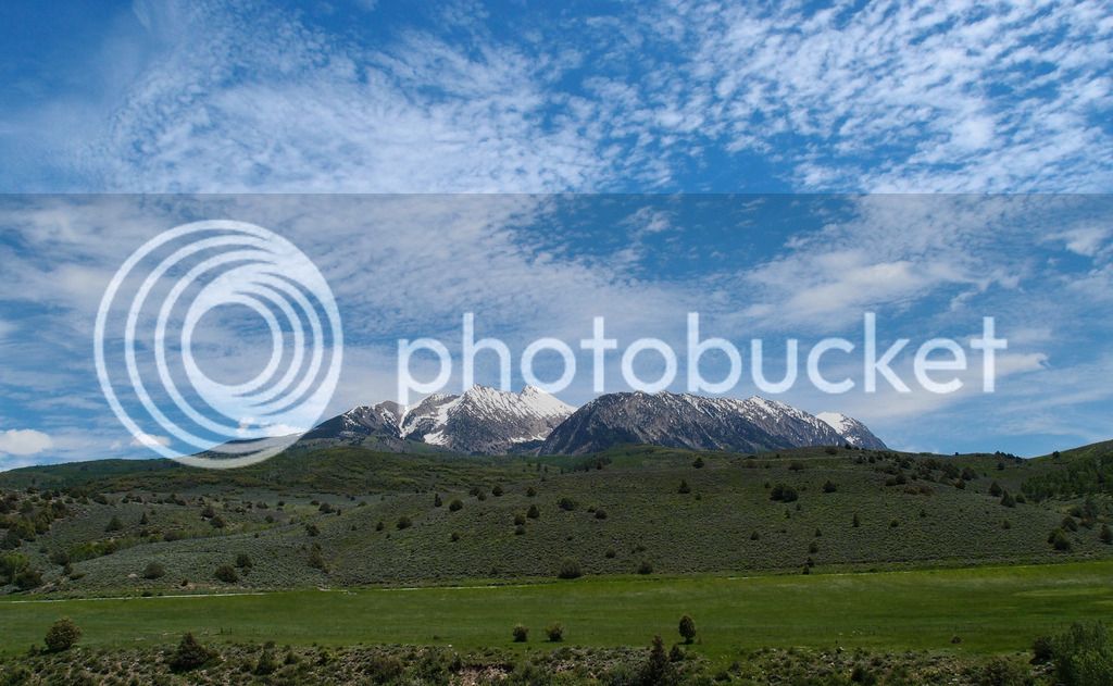
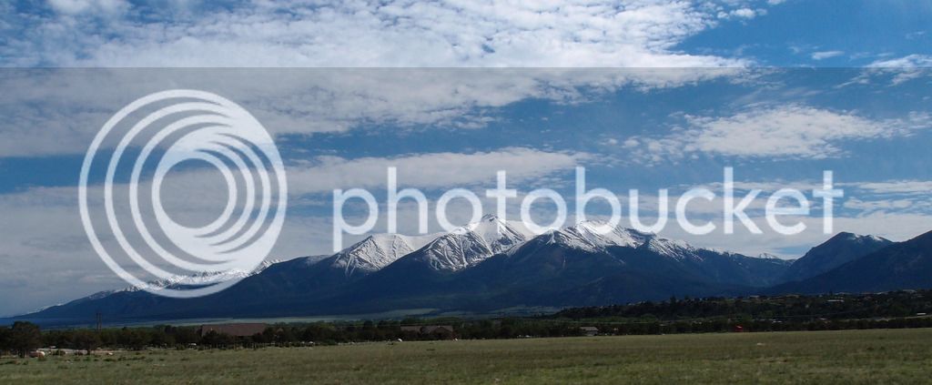
Heading toward Moab looking at the La Sal Mountains on 191
P5313083.jpg


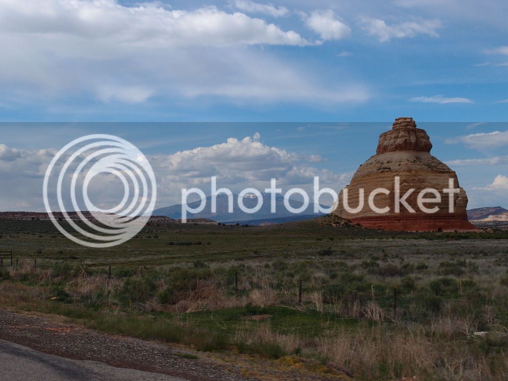
Church rock on 191 S of Moab

Made it to Moab and checked into the hotel at about 5:30 so we decided to go ahead and see Arches that evening. We dropped off the luggage at the hotel and left behind the riding pants and boots to allow for easier walking in the park. This worked well and we used this strategy for the 4 Utah parks.
P5313107.jpg


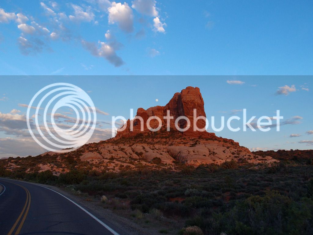
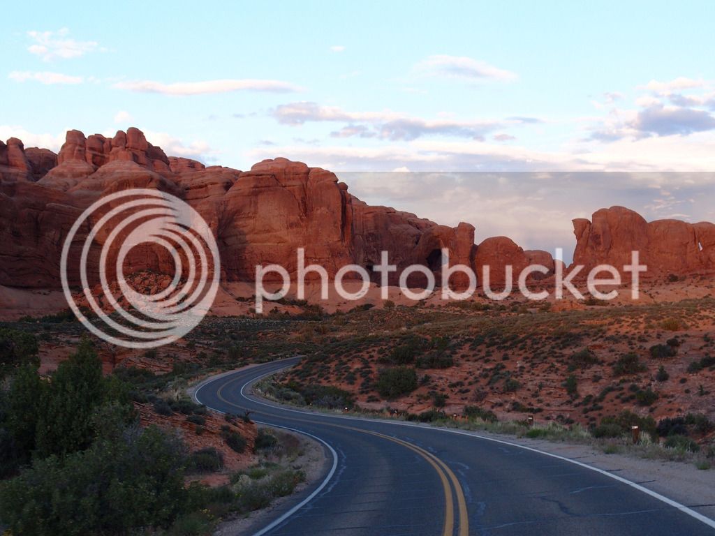
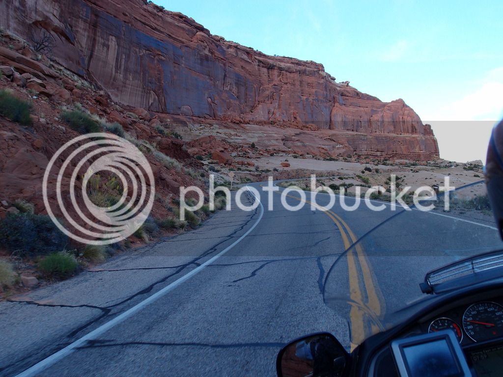
This is heading up the road into arches
P5313144.jpg


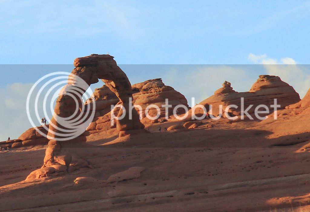
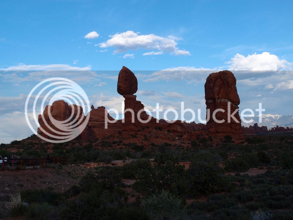
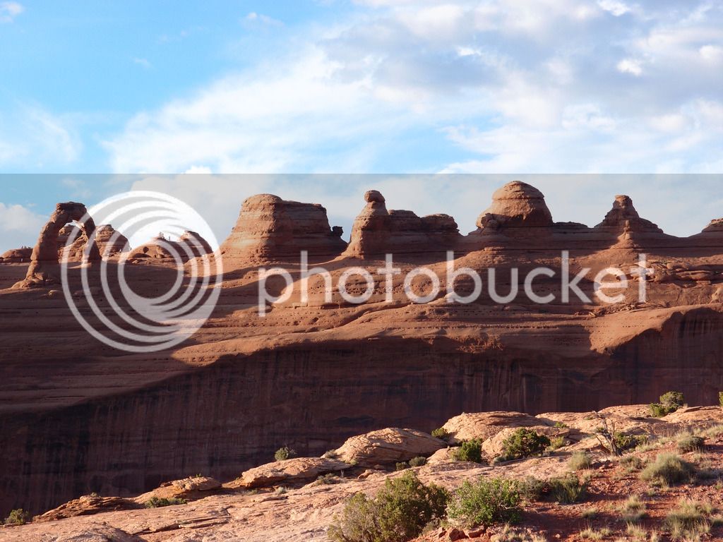
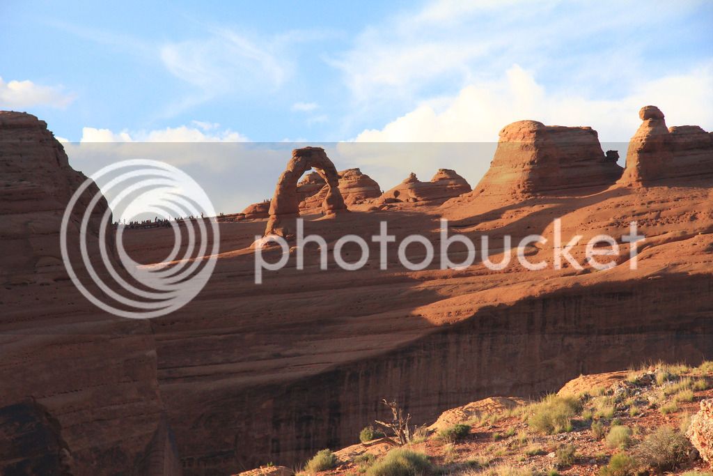
We drove around a bit, then went to Delicate Arch and walked the short hike up to get a closer pic.
P5313151.jpg


IMG_8185.jpg


IMG_8204_edited-1.jpg


IMG_8184.jpg


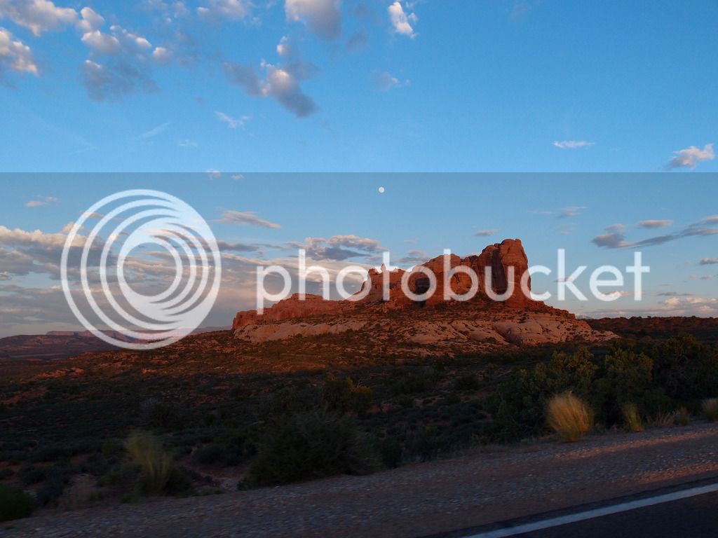
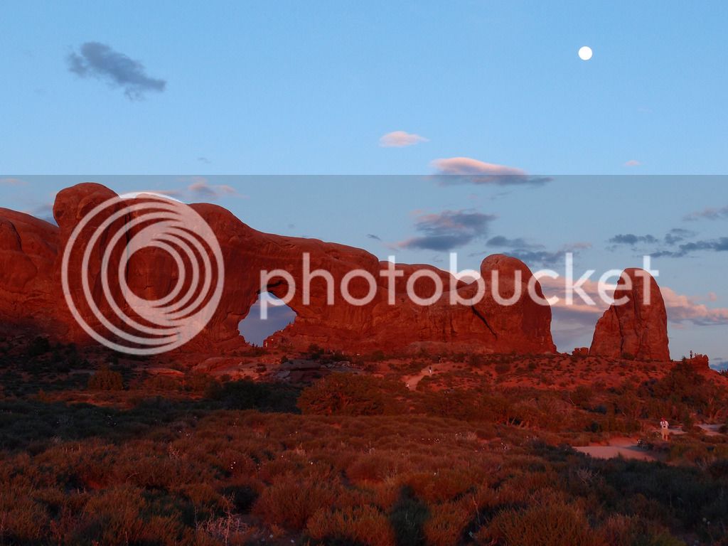
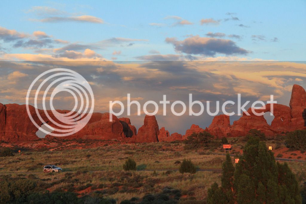
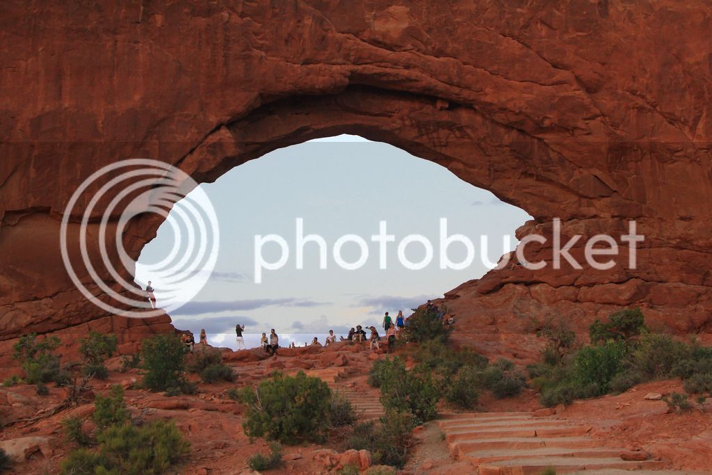
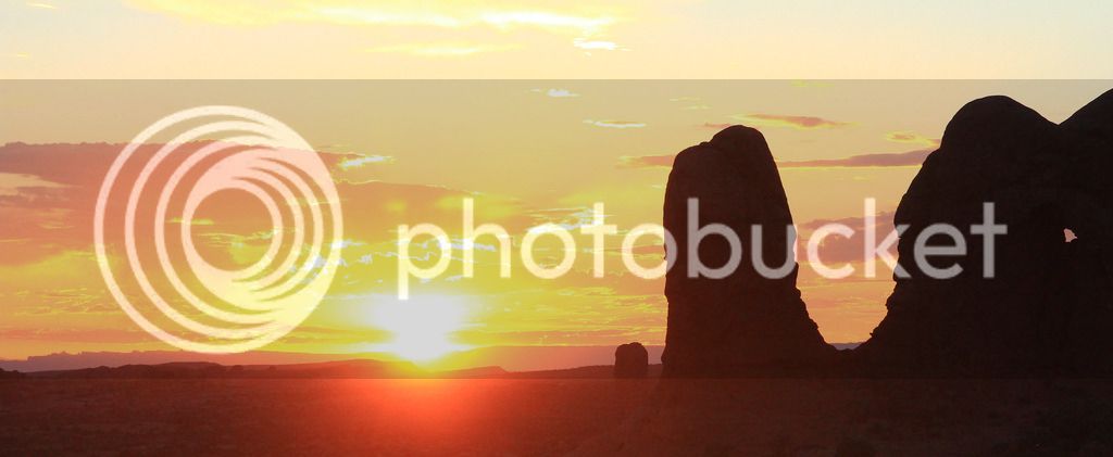
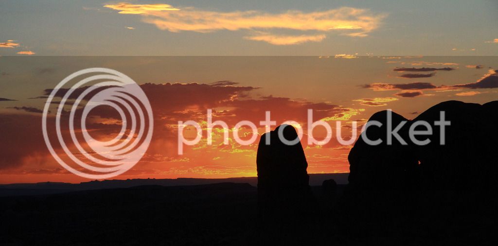
Then we drove around through most of the park and stopped at Windows until the sun went down.

P5313157_edited-1.jpg


P5313168.jpg


P5313170.jpg


P5313173.jpg


P5313174.jpg


P5313179.jpg


IMG_8233.jpg


IMG_8234.jpg


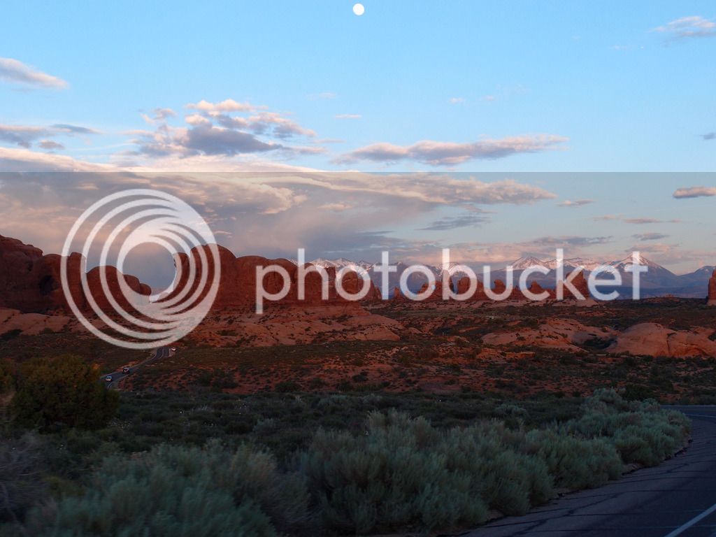
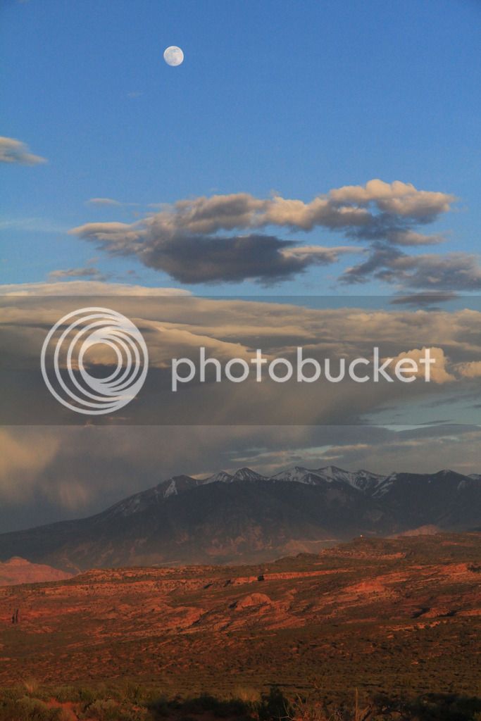
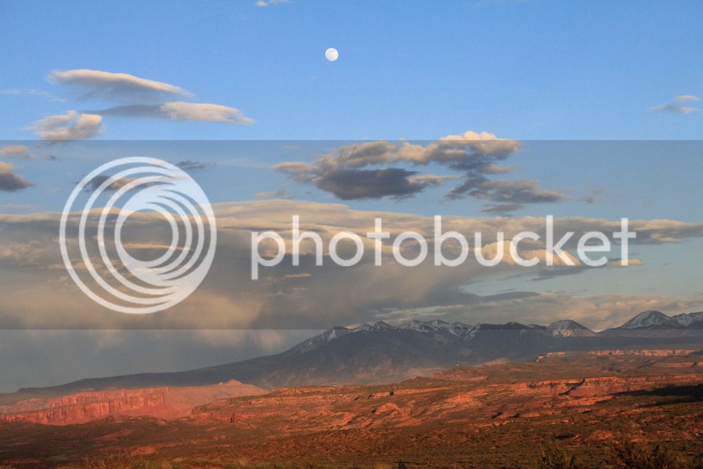
La Sal Mountains were beautiful from arches
IMG_8224.jpg


IMG_8225.jpg


IMG_8258.jpg


IMG_8261.jpg


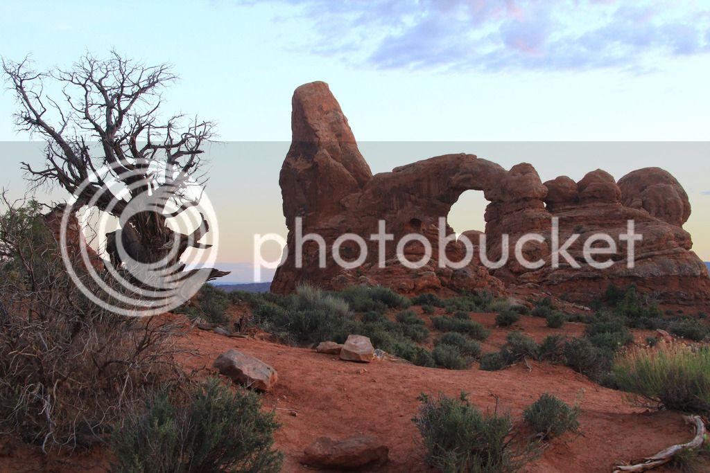
Turret Arch

IMG_8275.jpg


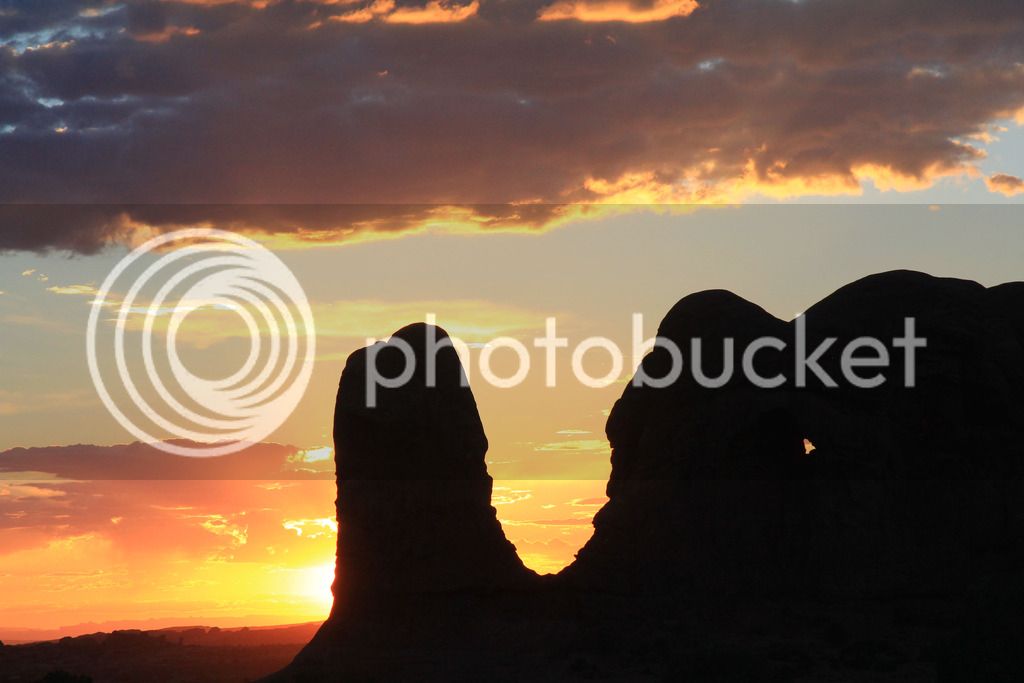
Sunset

IMG_8238.jpg


IMG_8245_edited-1.jpg


IMG_8255_edited-1.jpg


Ended up with 480 miles on Sunday.

Continued...

 
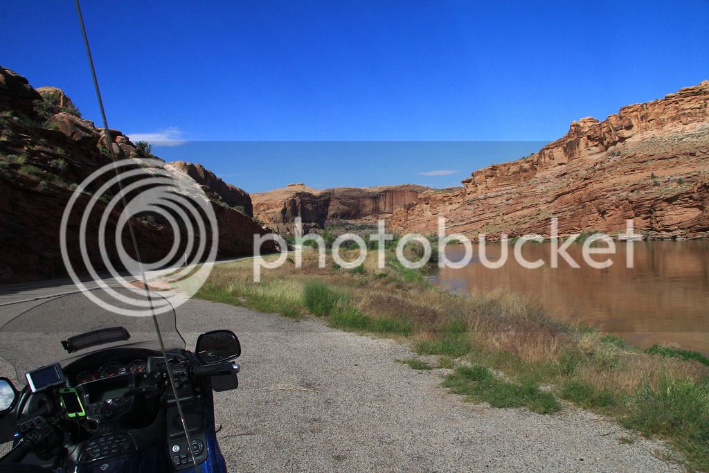
Monday morning Tam wanted to sleep in but it was supposed to be high 90's in the afternoon so I decided to go out by myself early and get some Canyonlands pics in the morning, then check out 128 up the Colorado River.

IMG_8286_edited-1.jpg


IMG_8288_edited-1.jpg


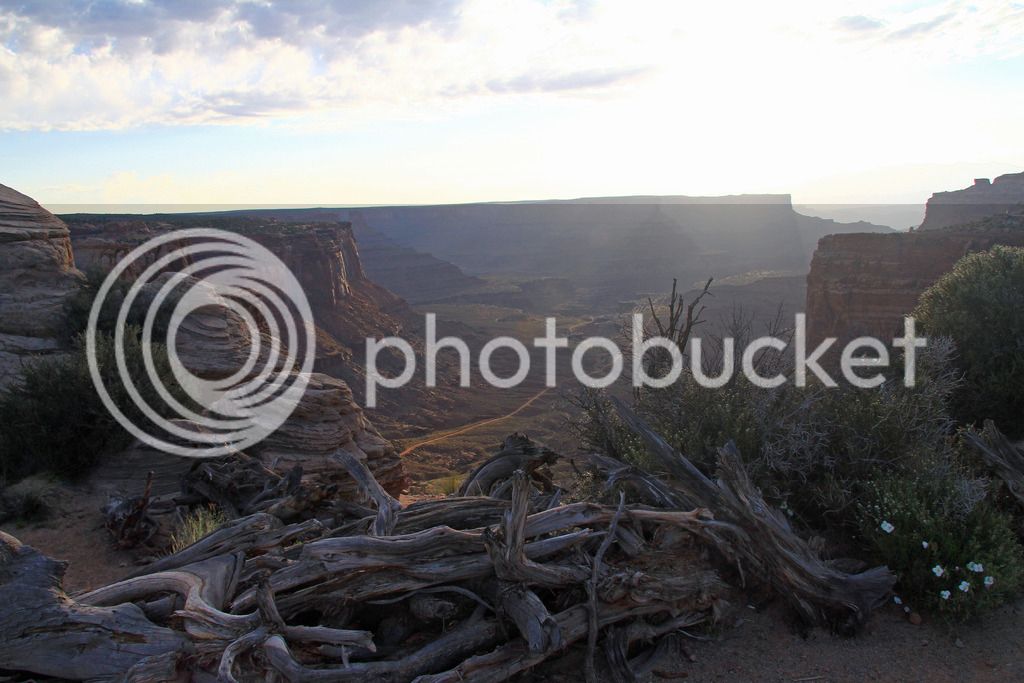
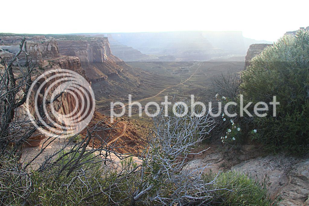
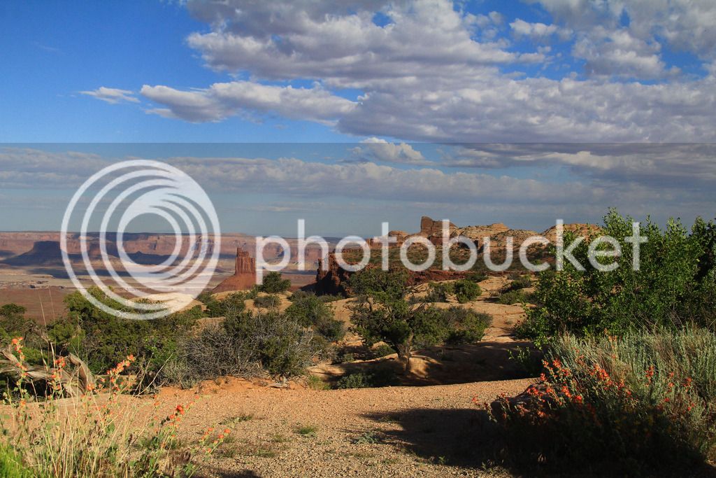
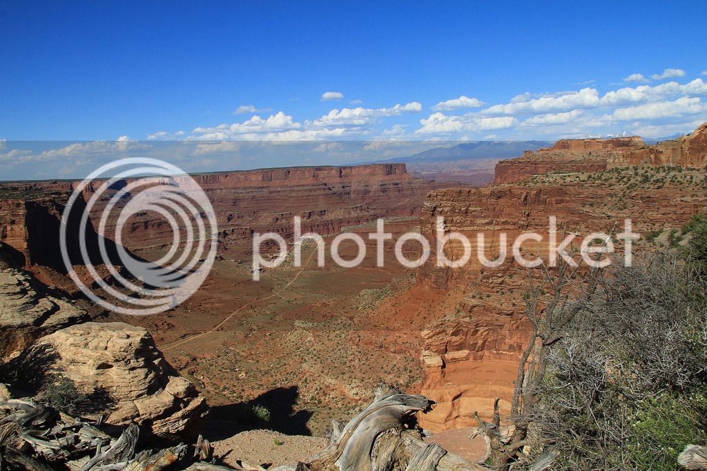
Overlooking Shafer Trail

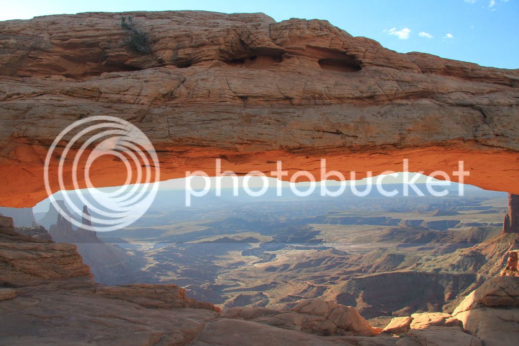
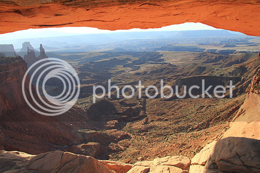
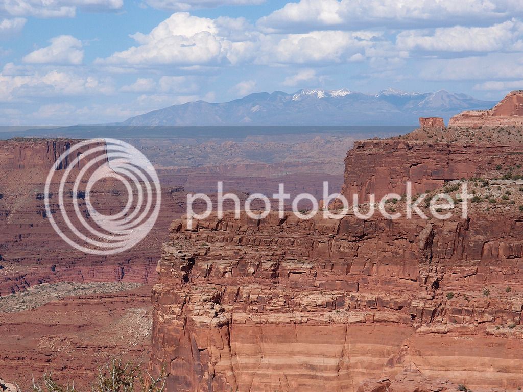
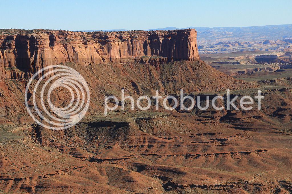
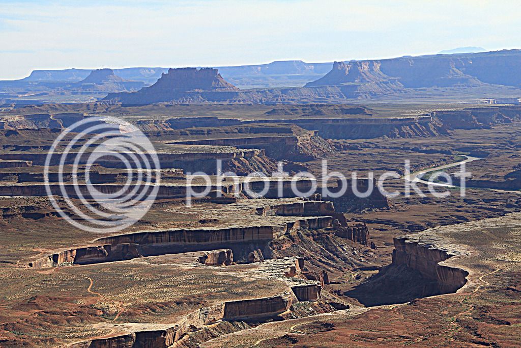
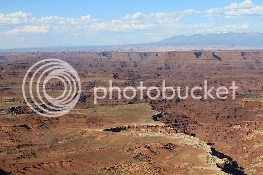
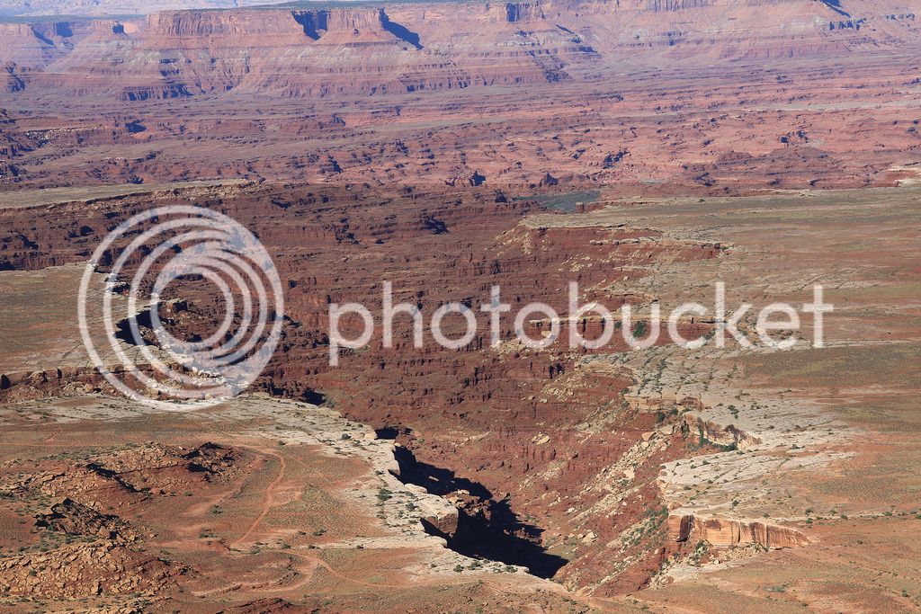
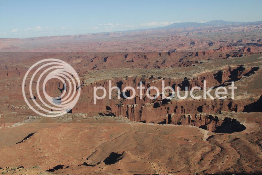
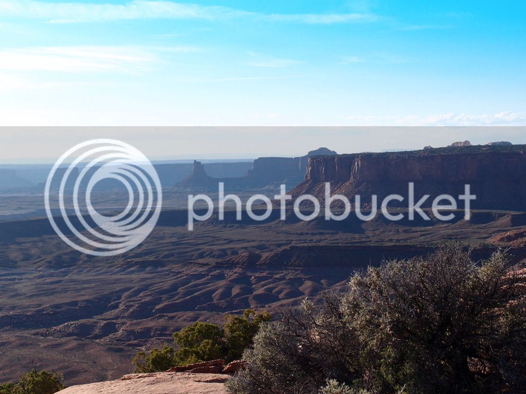
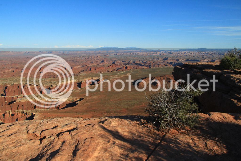
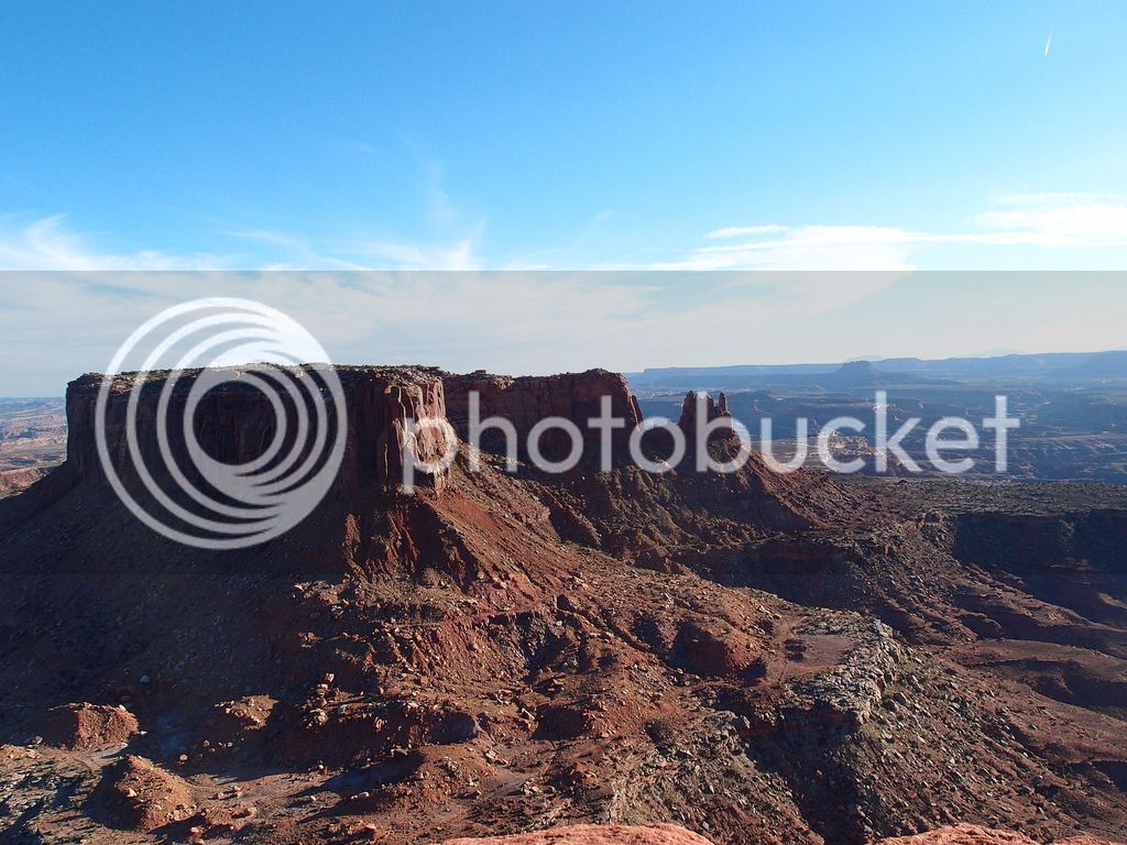
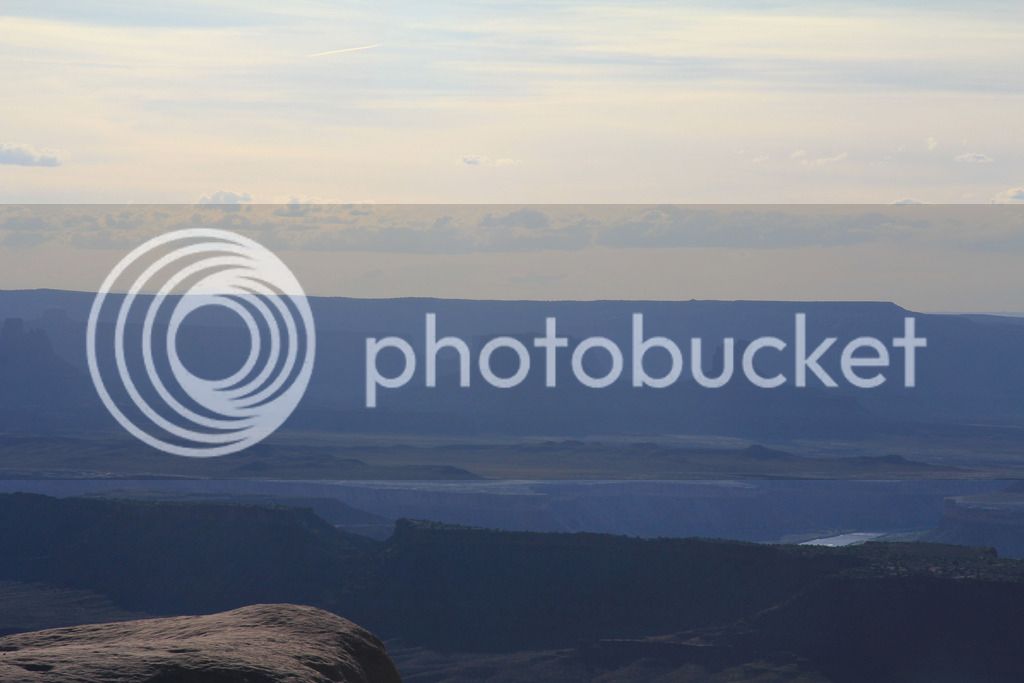
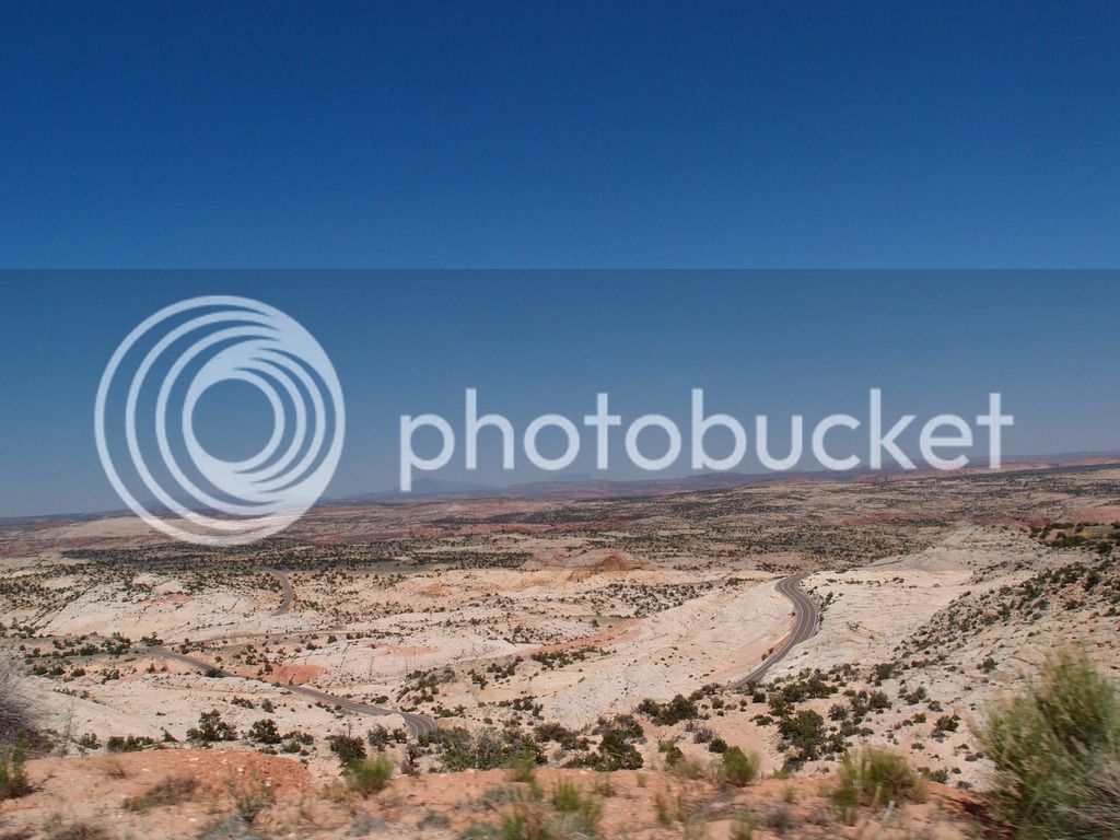
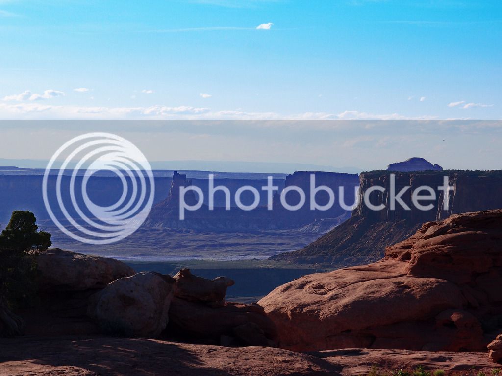
Canyonlands - Island in the Sky is great on a motorcycle. It wasn't crowded at all and I could ride the speed I wanted on surprisingly twisty roads. The scenery is amazing because you are driving up from Moab (out of some of the heat) onto a large plateau between the green river and the Colorado River that keeps thinning until you get out to the Grand View Point where the plateau comes to a point at what feels a little like the edge of the world. I loved it. I didn't go out past the parking spot at Grand View Point, but I hiked out to Mesa Arch since that is supposed to better to photograph out over the Colorado River in the morning.

IMG_8315.jpg


IMG_8310_edited-1.jpg
IMG_8302.jpg


The only people that were out that morning were Chinese for some reason. I speak a little Chinese, but I'm not good enough to hold much of a conversation so I'm too chicken to say much.

IMG_8299_edited-1.jpg
IMG_8339.jpg
P6013199_edited-1.jpg


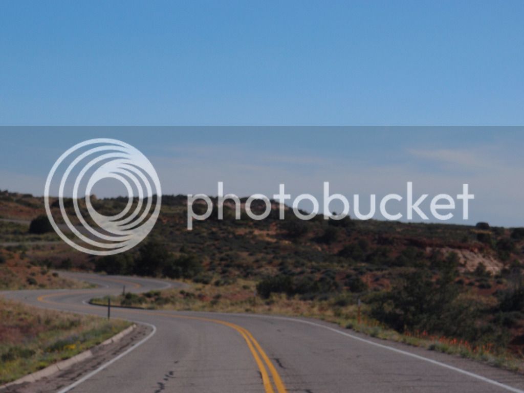
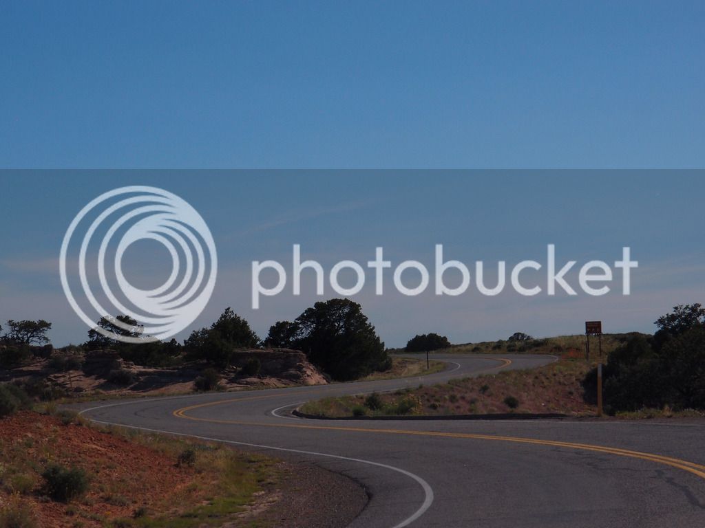
I think the roads must have been designed by a motorcyclist.

P6013204_edited-1.jpg
P6013206_edited-1.jpg


I ended up loving Canyonlands and spent so much time up there I was too tired to do much of 128, but at least I got to go down the river a few miles:

IMG_8362.jpg


I went back and took a nap until lunch, and we took it easy in the 98 degree afternoon heat. We have high humidity with heat back in Ky, but it seemed REALLY hot in Moab. I know they say, "it's hot, but it's a dry heat" but we started saying things like, "it's a hellacious furnace, but it's a dry hellacious furnace."

By late afternoon I decided to brave the heat and head up to Canyonlands with Tam this time. It was supposed to be 10 degrees cooler up there, but it made such a difference it felt like 20. It was really nice up there even in the heat of the late afternoon.

IMG_8371_edited-1.jpg


This is Shafer Trail again in afternoon light

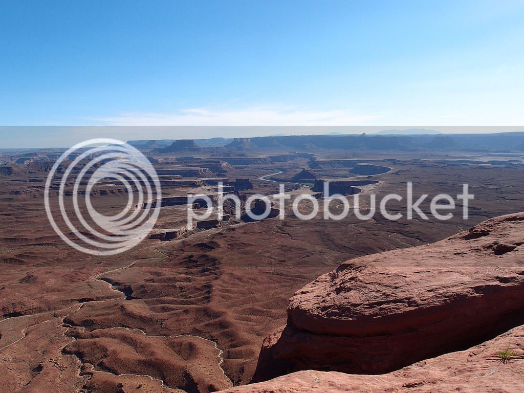
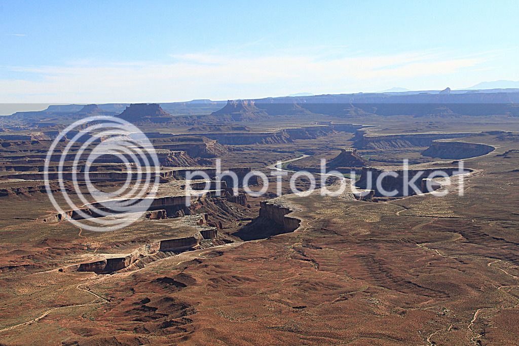
We went to Green River overlook:

P6013212_edited-1.jpg
IMG_8381_edited-1.jpg
IMG_8384_edited-1.jpg
IMG_8387_edited-1.jpg


and Buck Canyon overlook

IMG_8409_edited-1.jpg
IMG_8408_edited-1.jpg


and then back out to Grand View Point. We hiked the mile out to the end point. It took a little longer than we thought, but it was very worth it.

P6013238_edited-2.jpg
IMG_8422.jpg
P6013244_edited-1.jpg
P6013229.jpg


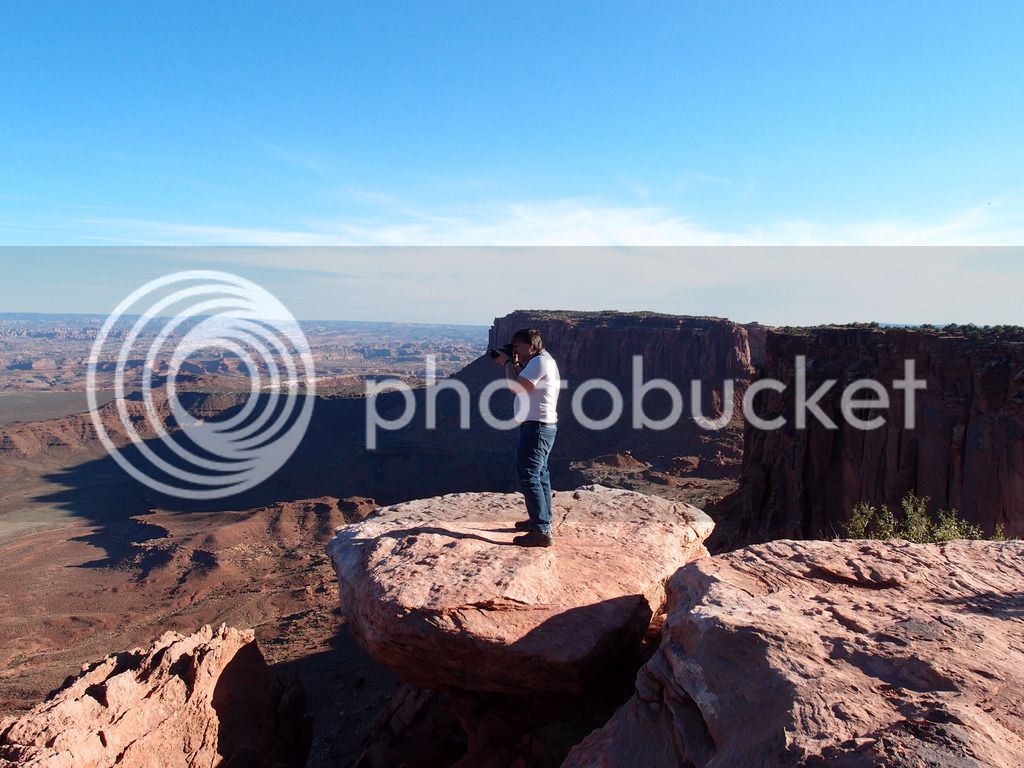
I was a little scared out there on that balancing rock. It was a long way down...

IMG_8449_edited-1.jpg


This was the pic I took from that rock

IMG_8473_edited-1.jpg


P6013248_edited-1.jpg


Out at the point of the Island in the Sky on Grand View Point overlook

This picture isn't blurry. It looked just like this. The mesas behind the middle mesa made it look like it was out of focus. It was hard to look at without going cross-eyed.
IMG_8477.jpg


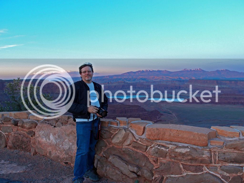
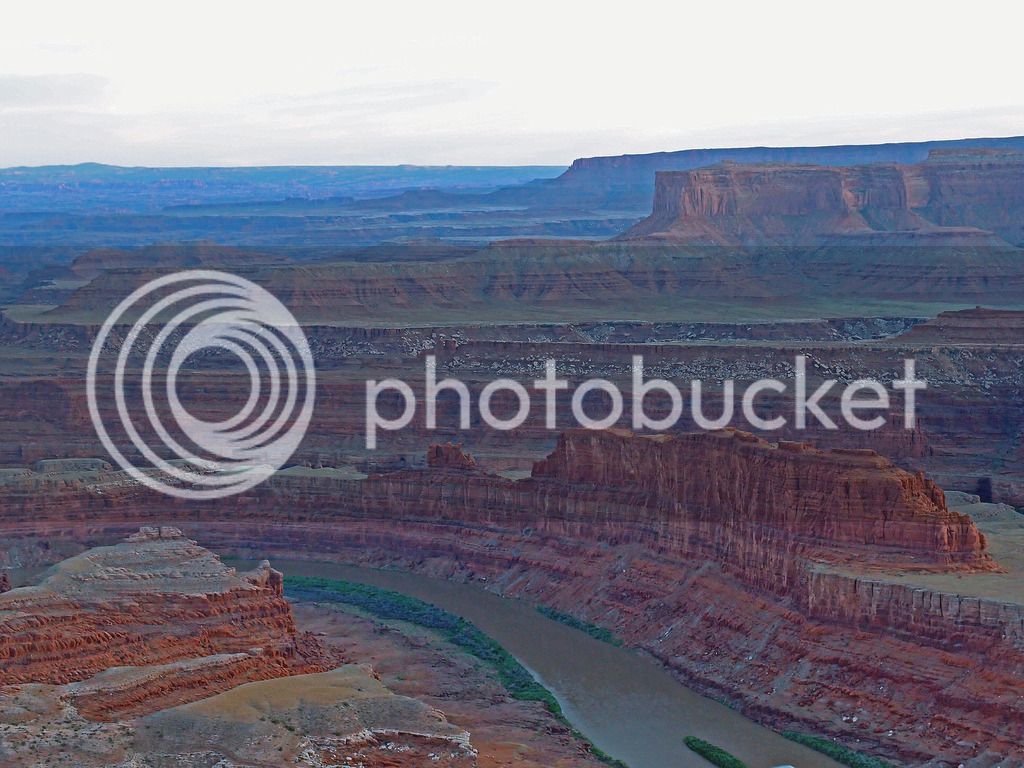
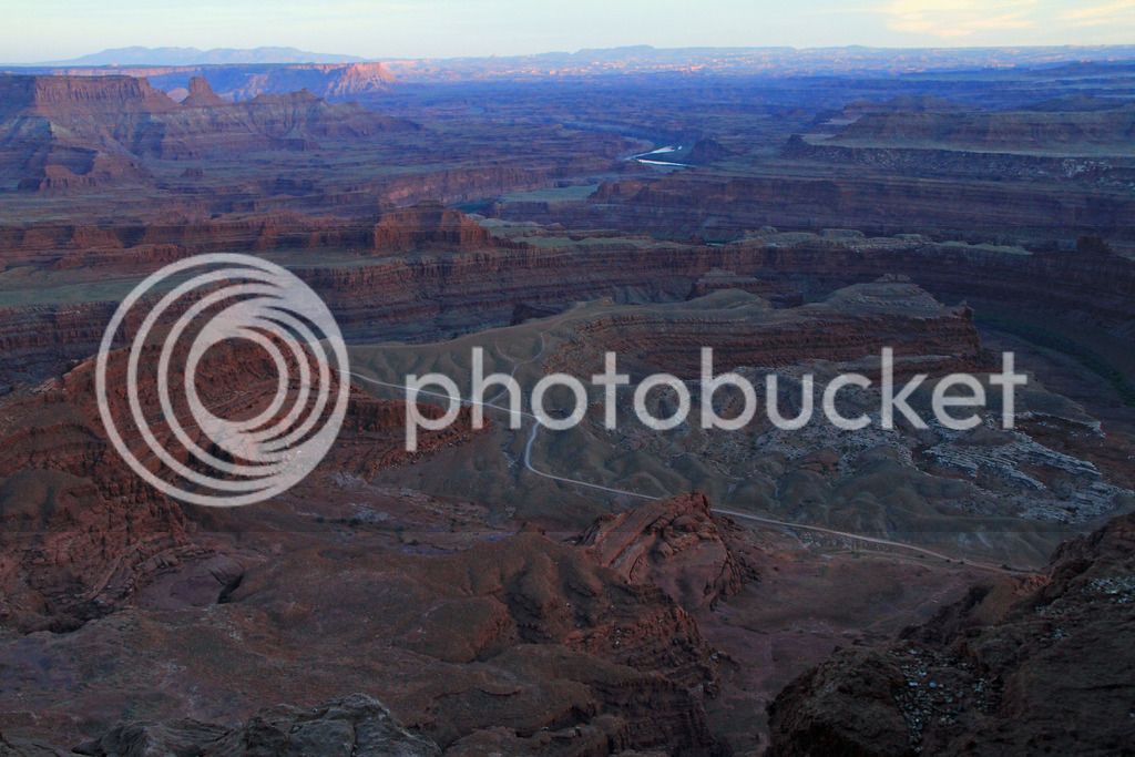
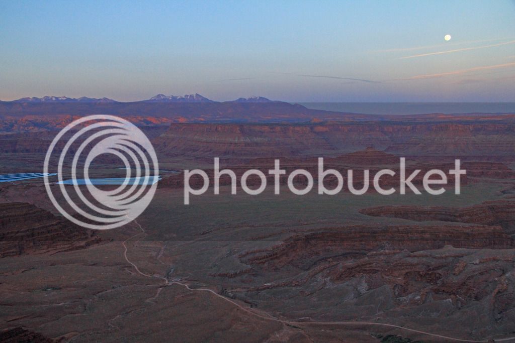
We were going to stop at Dead Horse Point on the way back before dark, but with the hike taking a long time, we had to book it to make it there just in time for the sun to start hitting the horizon.

P6013257.jpg


P6013278_edited-1.jpg


P6013288_edited-1.jpg
P6013292_edited-1.jpg
P6013286_edited-1.jpg
IMG_8515_edited-1.jpg
IMG_8535_edited-1.jpg
IMG_8527.jpg
IMG_8522.jpg
IMG_8536_edited-1.jpg
IMG_8540_edited-1.jpg


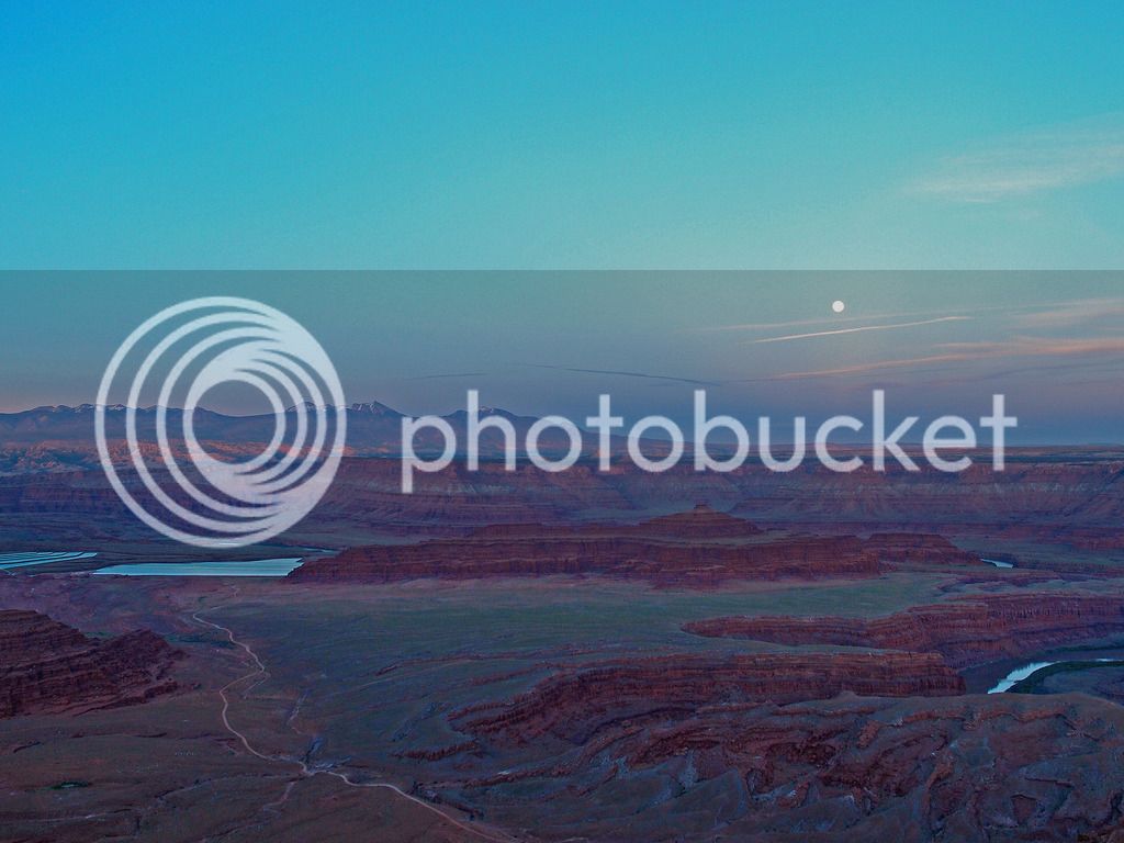
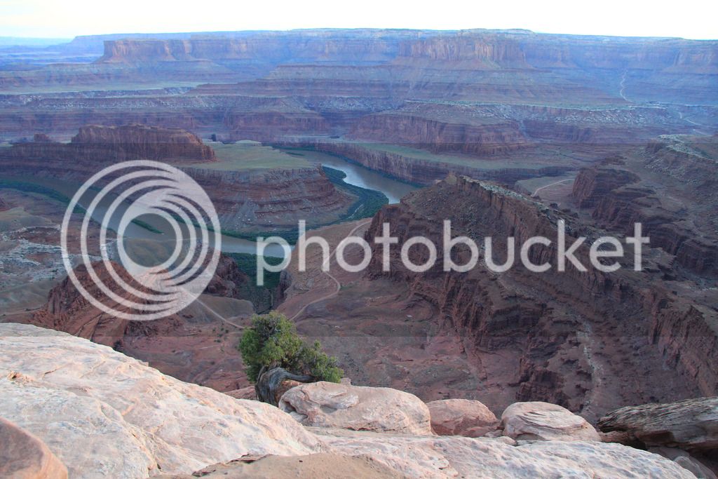
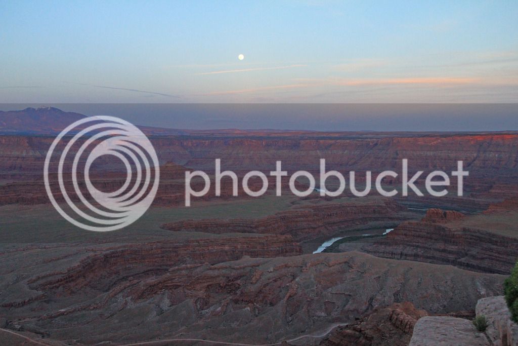
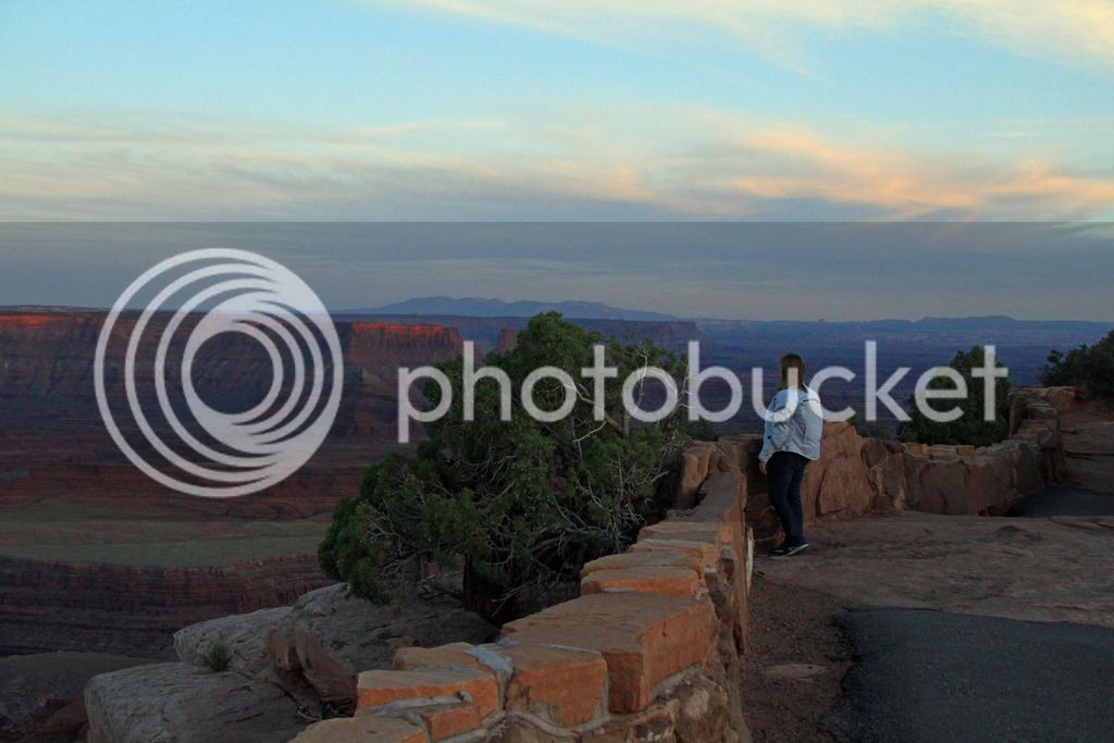
Dead Horse Point is a great viewpoint.

P6013308_edited-1.jpg
P6013293_edited-1.jpg
P6013325_edited-1.jpg
P6013348.jpg


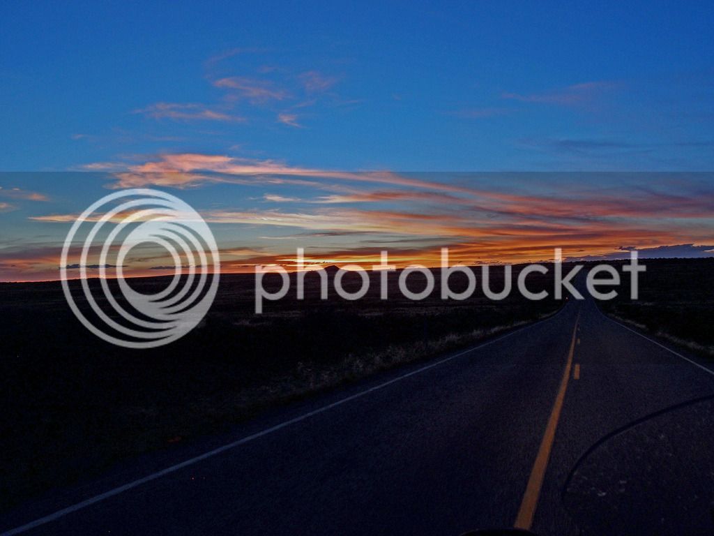
Almost dark leaving Canyonlands

Surprisingly we ended up doing 240 miles driving around Moab that day. If the rest of the trip was going to be this good we knew we were going to be overwhelmed by scenery. I felt like we saw everything we wanted to see in the Islands in the Sky area at Canyonlands. There are two other areas (needles and the maze), but they look like they are not for a road bike. We considered going back and seeing some more of Arches Tuesday morning but we were ready to do some fun riding and move on toward Bryce.

Continued...

 
On Tuesday, we followed the recommended scenic route from Moab to Bryce through Glen Canyon Recreation Area, Capitol Reef, and Grand Staircase / Escalante (191S, 95, 24, 12). It didn't start very fun as we almost got rear ended on 191 headed S from Moab toward Monticello. My bad for not being aware of my rear view, but there was a Camaro in front of us that decided to pass an RV right as a car was coming. I had plenty of distance between us, but I thought there was going to be an accident so I let off on the gas and slowed down. The car ran off the road, but nobody wrecked. Suddenly we are shocked by squealing tires behind us when a large pickup had not noticed me slowing down and locked up his brakes just behind us. Yikes. That'll teach me to watch my mirrors.

As we got on 95 the tar snakes got overwhelming and took all the fun out of the road. Tam hadn't been on those much and the slipping was really freaking her out. It got better in spots and some roads were newer through Fry Canyon but even near the Glen Canyon bridge there were some more.

P6023361_edited-1.jpg
P6023370_edited-1.jpg
P6023379_edited-1.jpg


Eventually they cleared up

P6023382_edited-1.jpg
P6023386_edited-1.jpg


Bridge over the Colorado near Hite on 95

IMG_8560.jpg
IMG_8567.jpg
P6023403_edited-1.jpg


The wind was really bad that day and between that, the heat, and the tar snakes, it wasn't as fun as we had hoped. We were getting drained near Capitol Reef Visitor Center and stopped to cool off. That helped a lot.

P6023416.jpg


The wind blew Tam's Butler cup out somewhere near here.

P6023420_edited-1.jpg
P6023423_edited-1.jpg


We enjoyed going over boulder mountain even with the wind.

IMG_8572.jpg
IMG_8576.jpg


The different rock colorations were interesting heading through the north side of Grand Staircase National Park. The best part was heading down from Boulder toward Escalante when the sides of the road on both sides start dropping away and nothing is left but a thin road on the spine of a mesa they call the Hogback. It was a little scary and really cool.

P6023440_edited-1.jpg
P6023441_edited-1.jpg
P6023457_edited-1.jpg
P6023464.jpg
P6023472_edited-1.jpg


P6023481.jpg


I wonder whose glove this was near Cannonville?

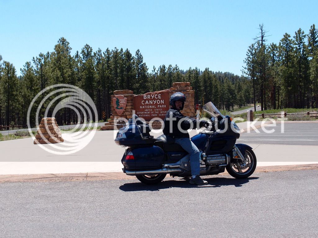
We stayed in Tropic at America's Best Value hotel as recommended in Mark's trip report. So glad we stayed here instead of Ruby's right outside Bryce. It wasn't that much farther and it was very nice. We couldn't get in Ruby's the first night but had Wednesday night booked. As soon as we checked into the hotel at tropic we extended the reservation and cancelled Ruby's. I was originally cautious because most of the ABV's we have seen are not very nice hotels. This was an exception. Still not cheap, but cheaper than any of the other options close to Bryce. We actually liked every hotel except maybe one and even that one was ok, but the Tropic ABV was one of our favorites.

After checking in, we dropped everything off and went to check out Bryce.

IMG_8599.jpg


Bryce is always MUCH cooler than Moab so the temps were very nice.

P6023512.jpg
IMG_8627.jpg


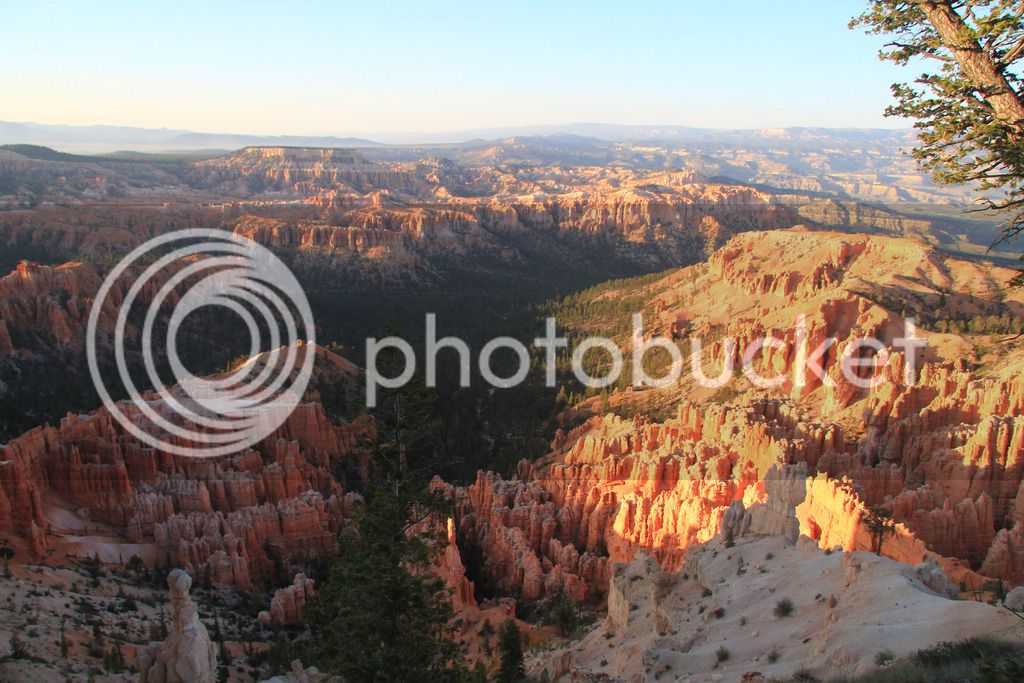
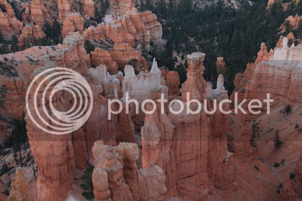
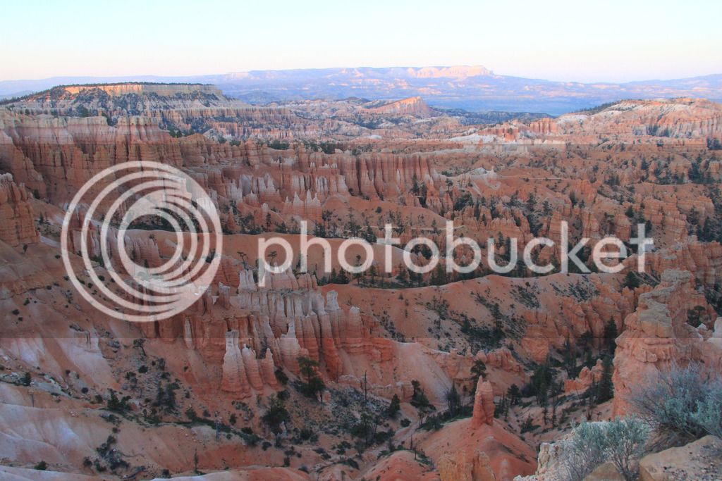
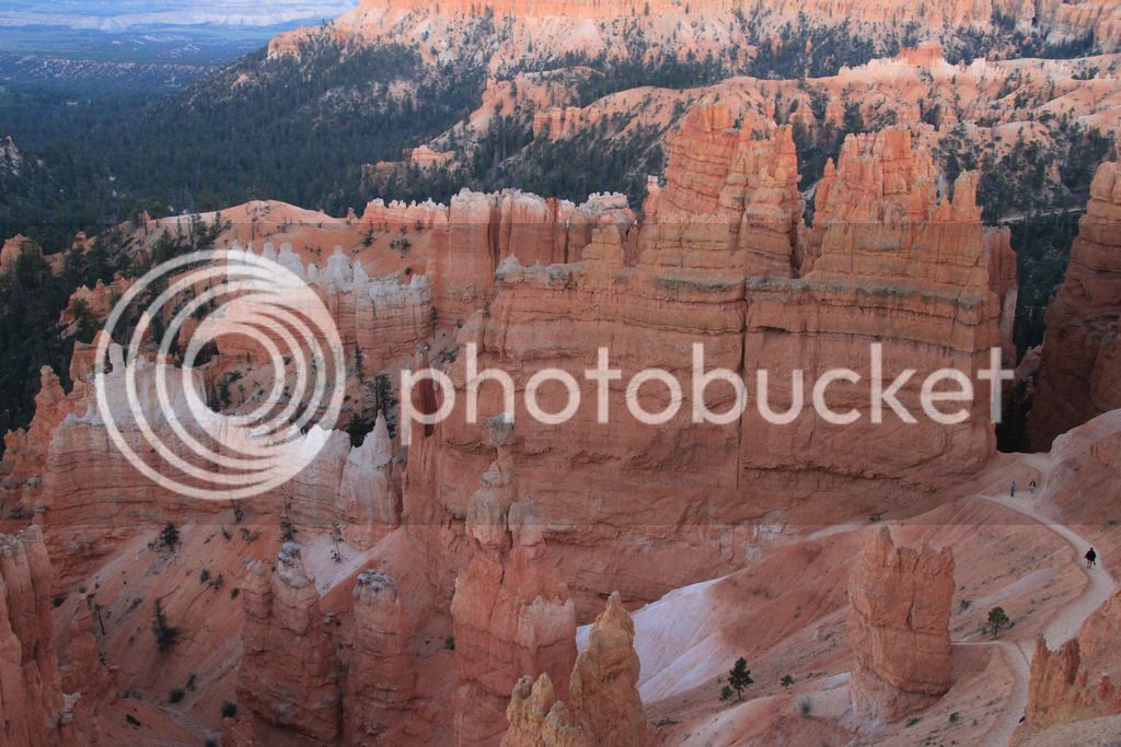
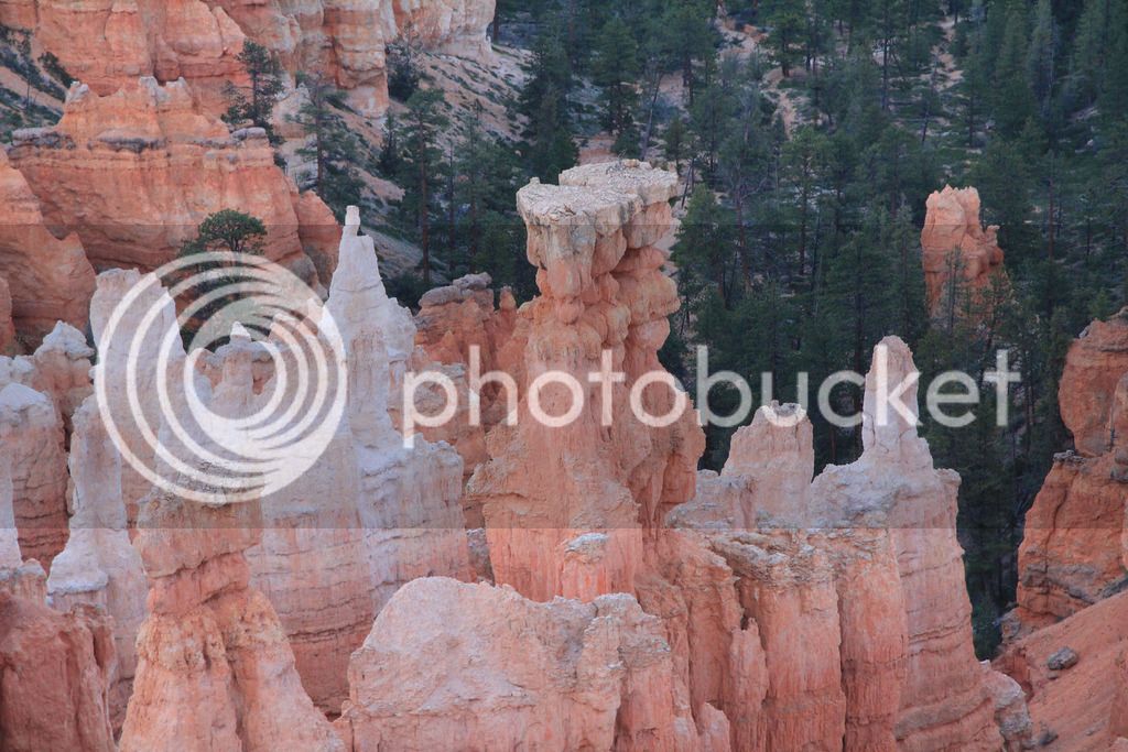
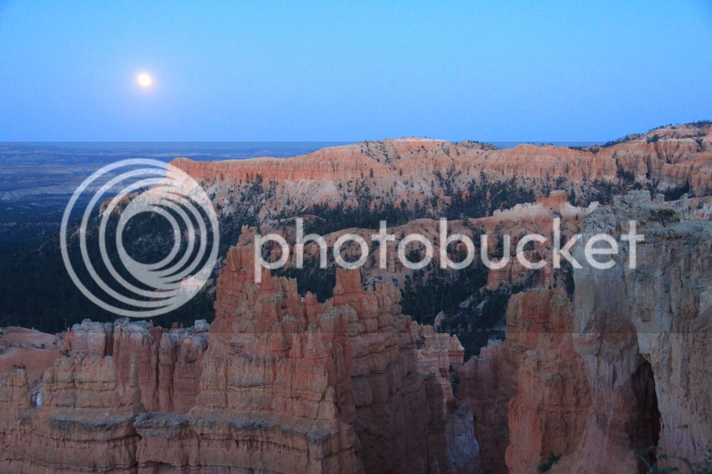
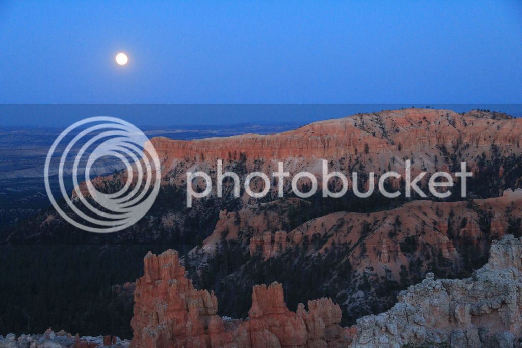
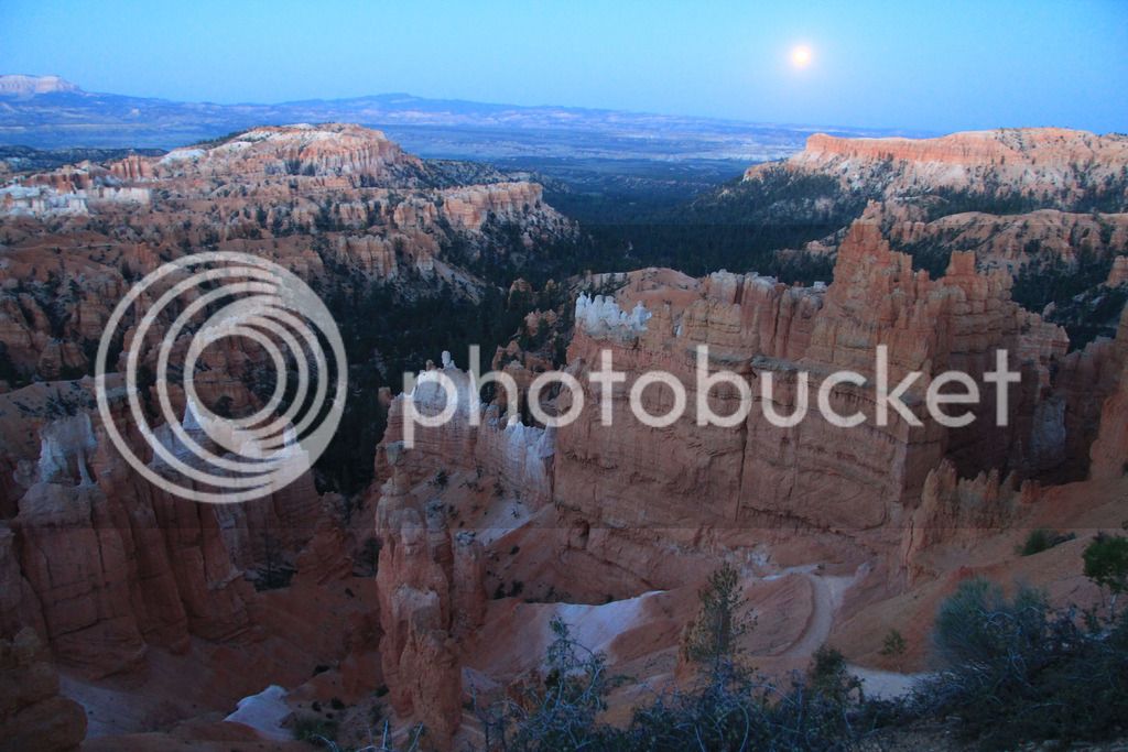
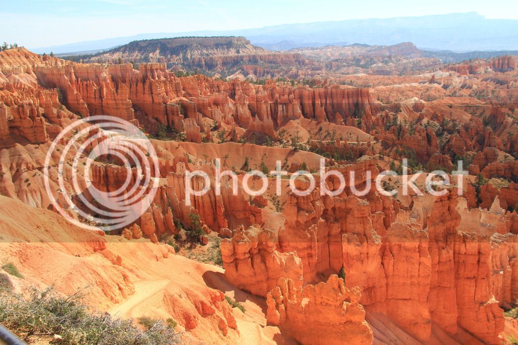
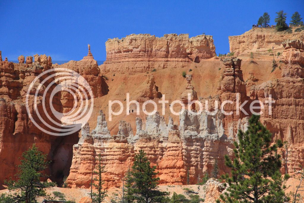
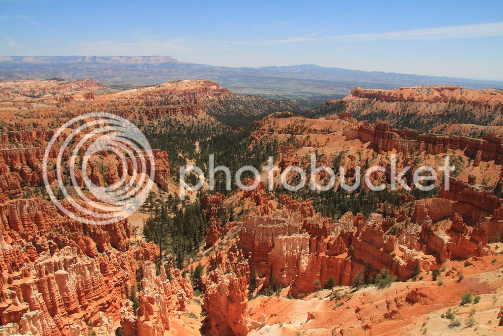
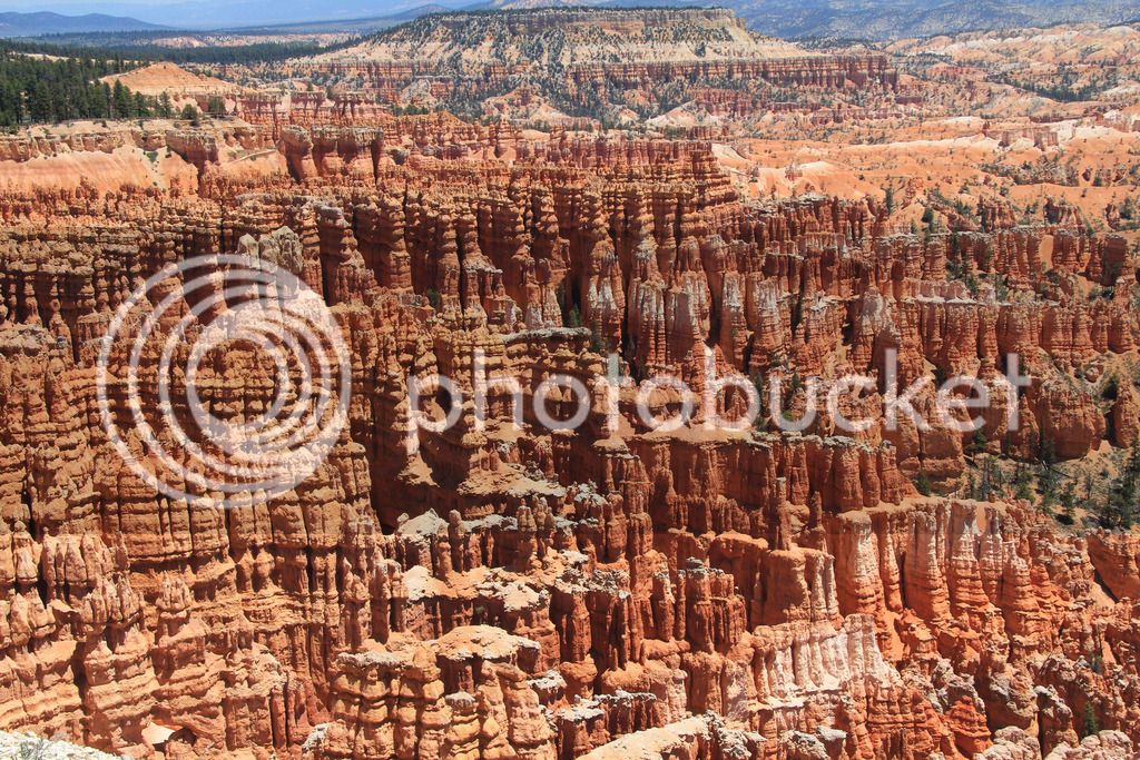
We pulled into a few of the overlooks and took pics that evening. They views are spectacular but there is not a ton of variety between them. We went to Sunset Point and waited for the sun to set and headed back to the hotel for the day.

IMG_8628.jpg
IMG_8631.jpg


Wall Street

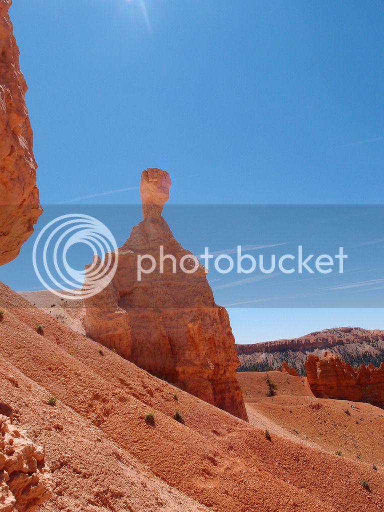
IMG_8642.jpg


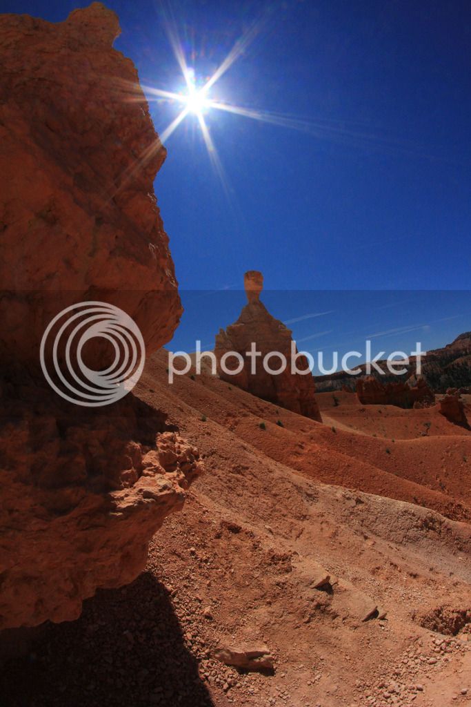
Thor's Hammer

IMG_8650.jpg
IMG_8653.jpg
IMG_8670.jpg
IMG_8668.jpg
IMG_8674.jpg


362 miles traveled on Tuesday

Continued...

 
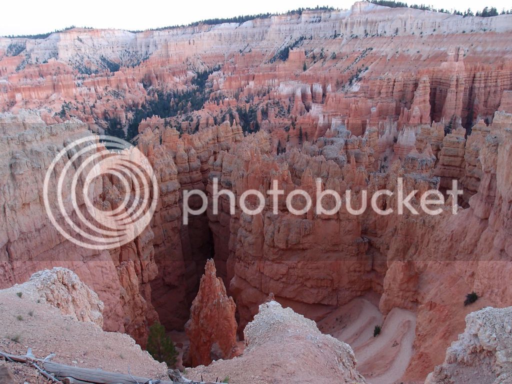
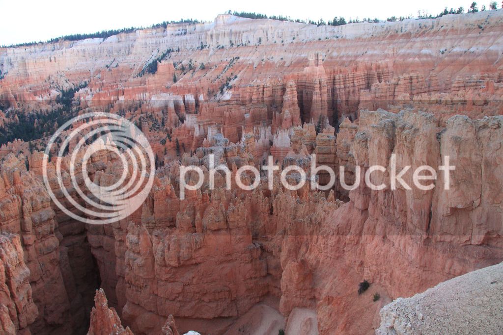
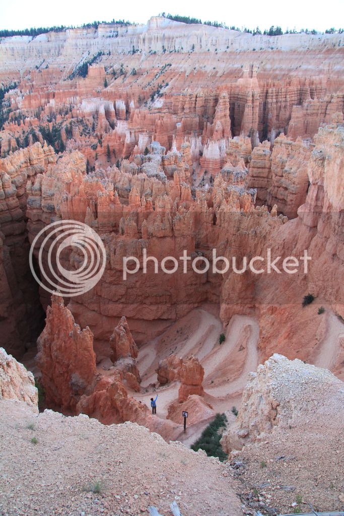
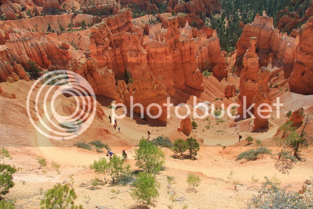
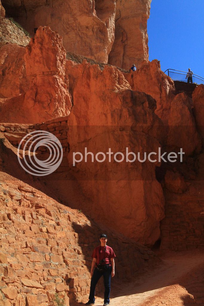
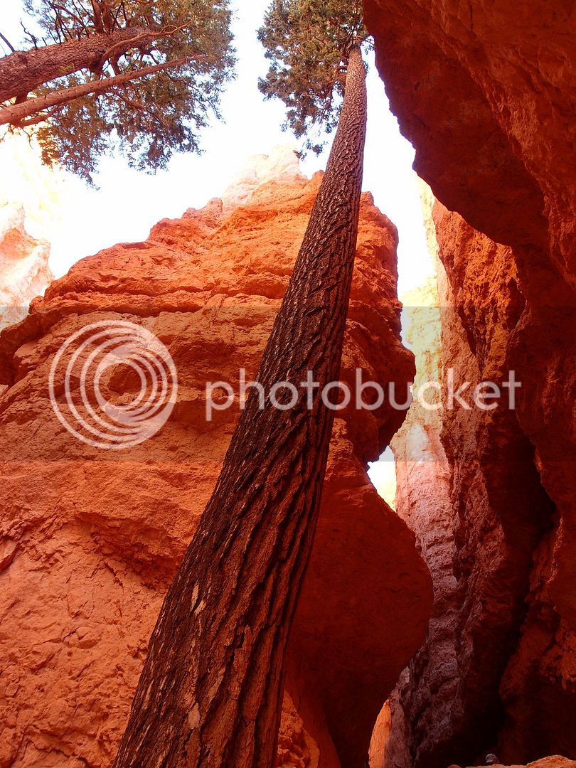
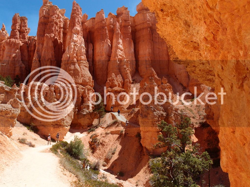
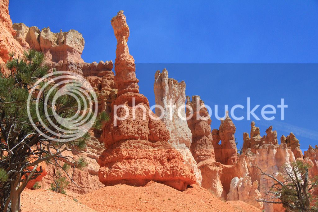
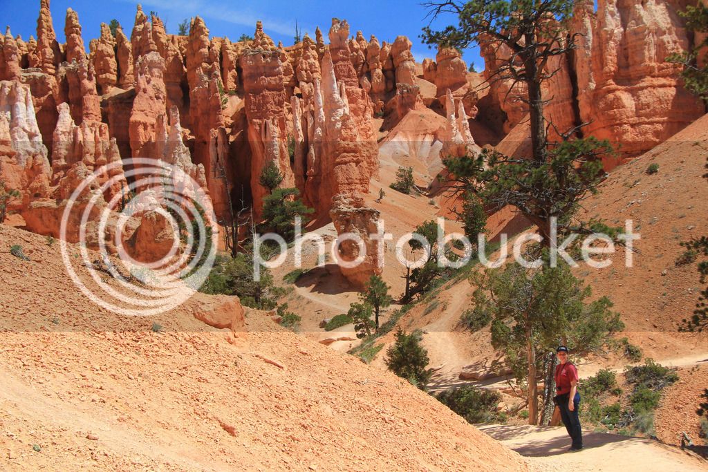
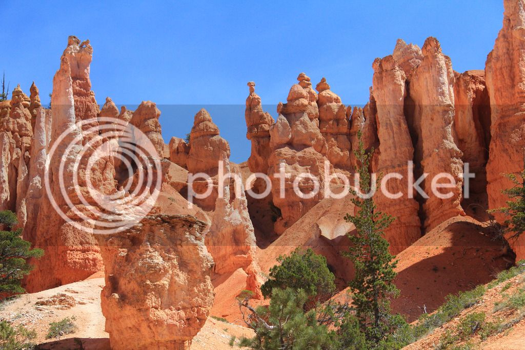
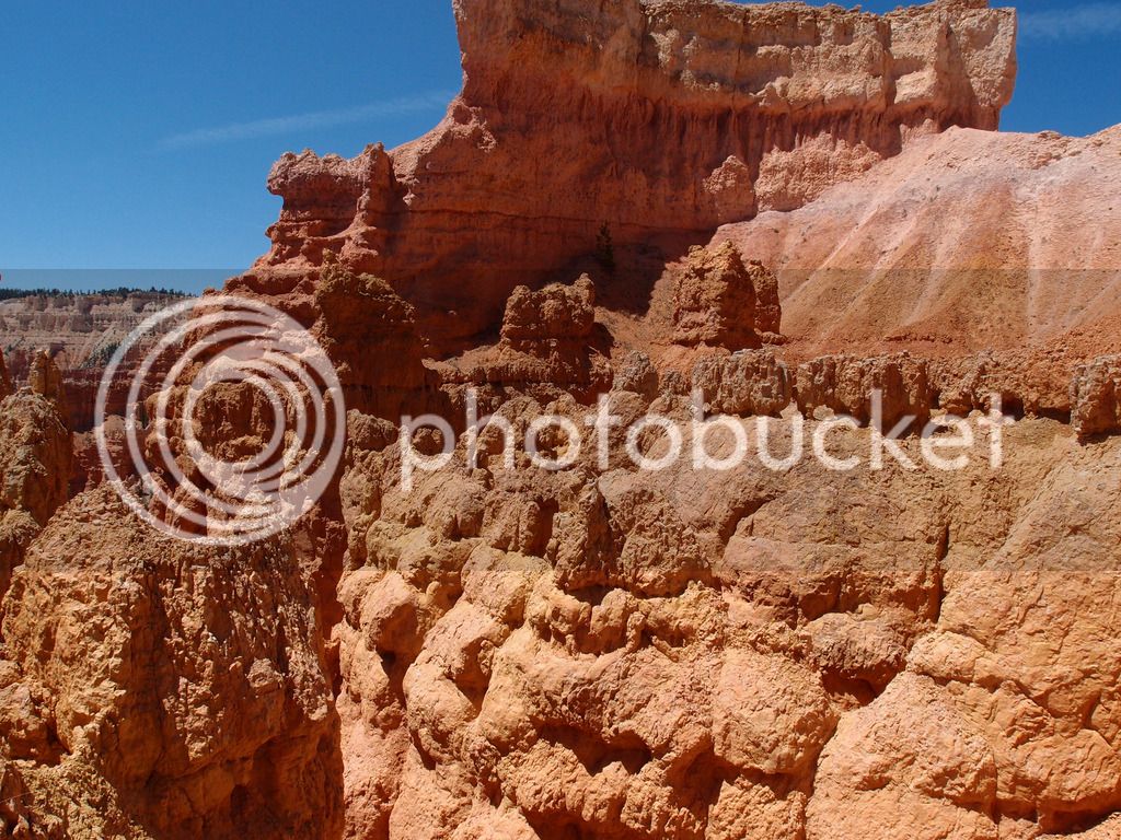
Wednesday we went back to Bryce and hiked down into the hoodoos through Navajo trail and Queens Garden loop. This was 2.4 miles total and a bit tiring at the end but was one of our favorite things. I think Bryce would have been low on my list of favorite parks if we had not done this. It ended up near the top. It is a photographers paradise for sure.

P6033529.jpg
IMG_8681.jpg
IMG_8682.jpg
IMG_8698.jpg
P6033530.jpg


P6033541.jpg


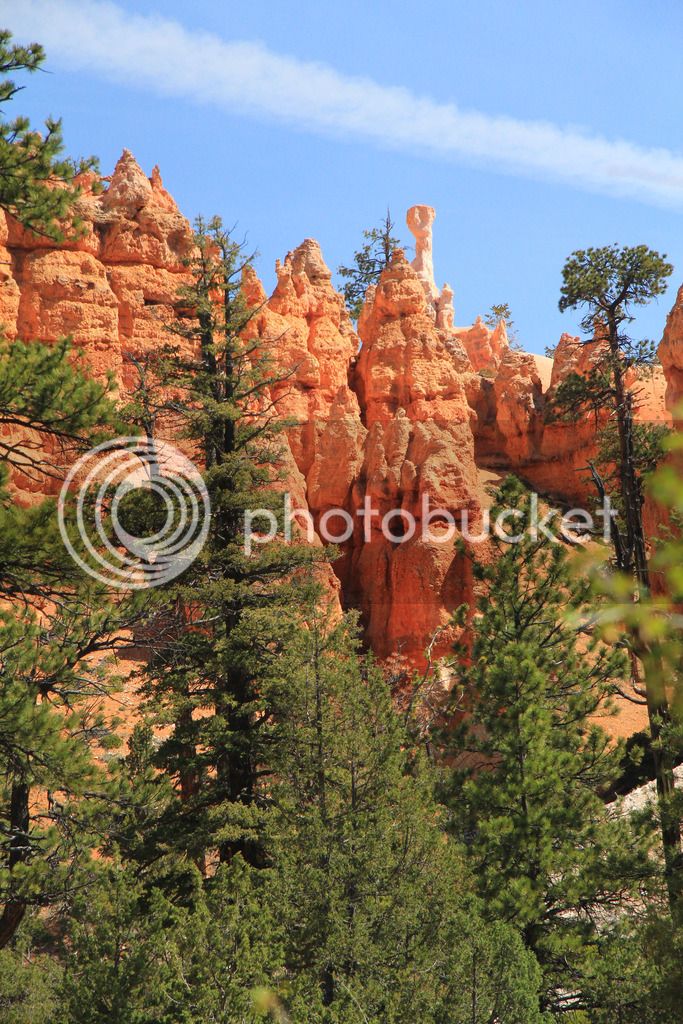
Hoodoos are formed by melting and freezing snow and ice.

IMG_8746.jpg
IMG_8731.jpg
P6033551_edited-1.jpg
IMG_8759.jpg


IMG_8762.jpg


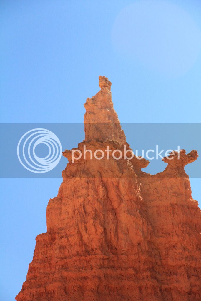
The Queen

IMG_8773.jpg
P6033557_edited-1.jpg
IMG_8774.jpg
IMG_8780.jpg
IMG_8826_edited-1.jpg
IMG_8829_edited-1.jpg
P6033582.jpg
IMG_8871.jpg
IMG_8869.jpg
P6033586.jpg


Not many bike miles day 7 with just 62 traveled.

Continued...

 
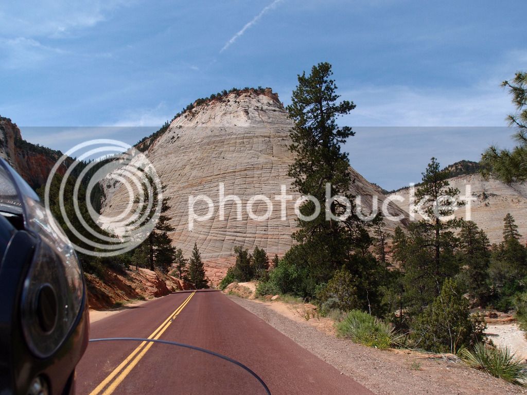
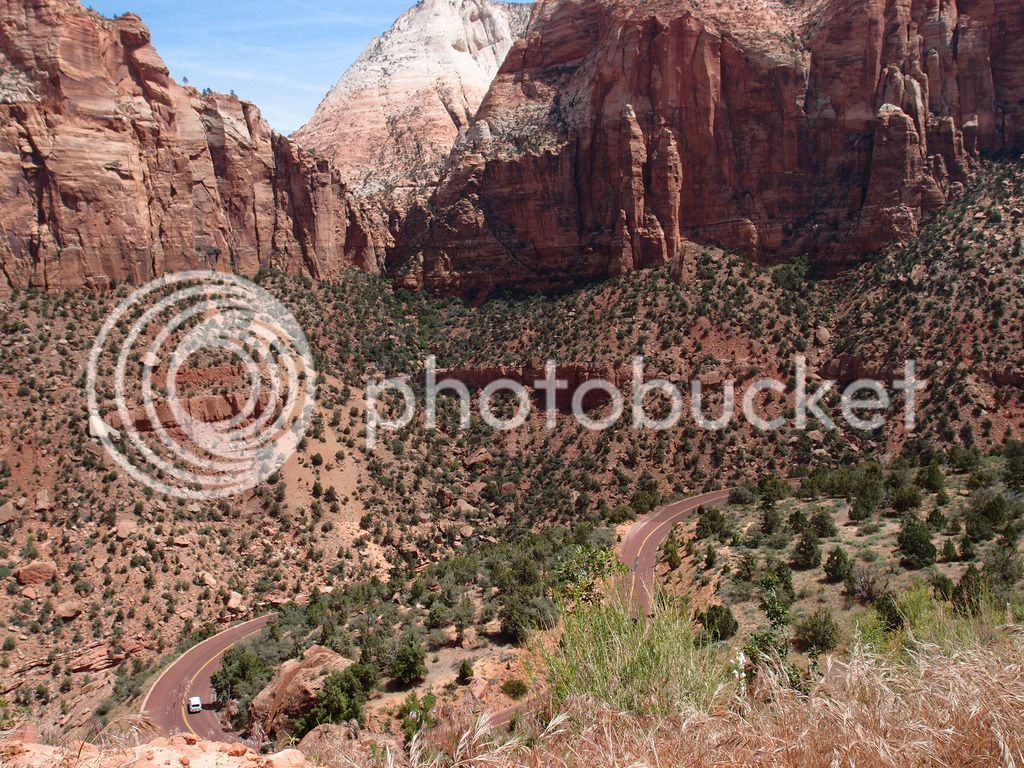
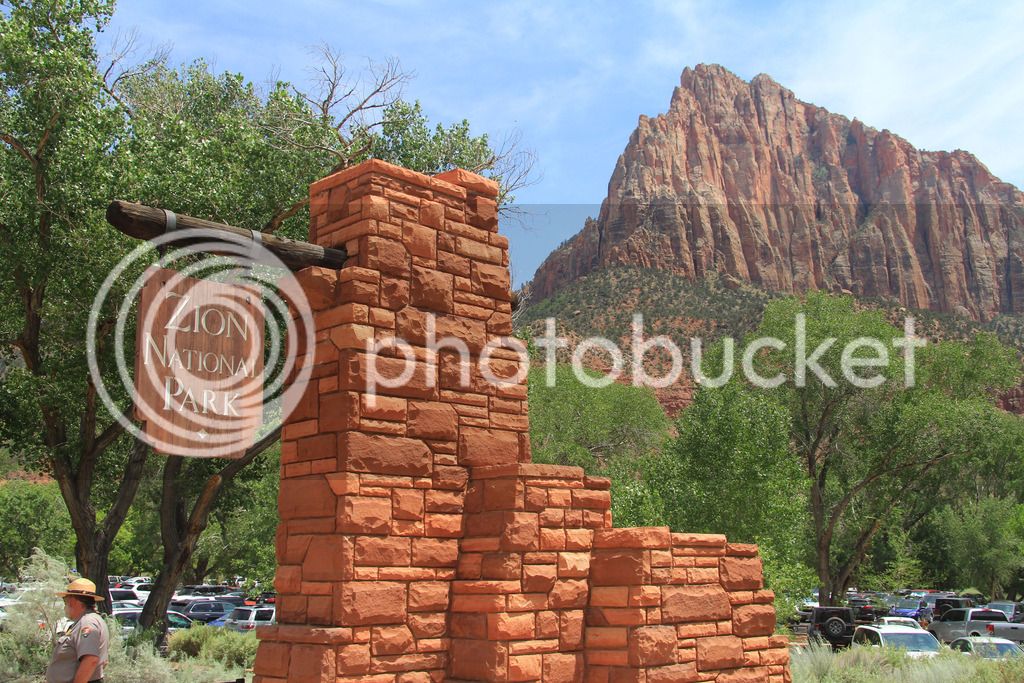
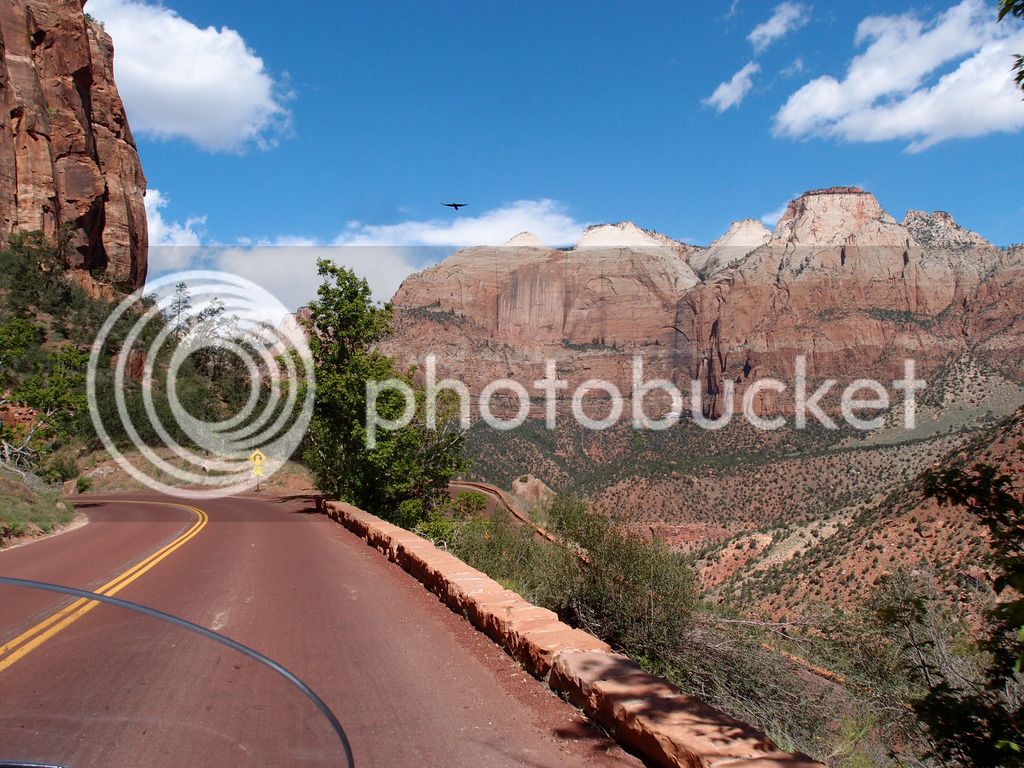
Thursday we drove down to Zion where we stayed in the town of Springdale, UT. Zion is a great ride through the main road on Hwy 9.

P6043600.jpg


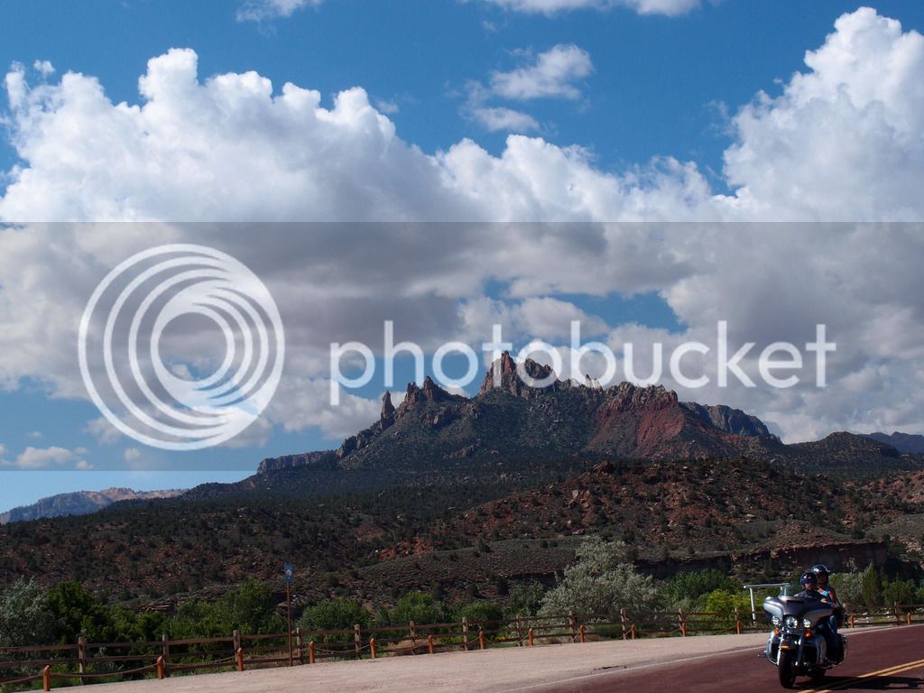
Checkerboard Mesa

P6043643.jpg
P6043658.jpg


The actual park no longer allows you to drive through it unless you are staying at the lodge. You have to take the shuttle. This turned out to be nice and worked well especially since it was hot again.

IMG_8896.jpg


The road was really beautiful but this was the only park I got slowed down by traffic in. It would've been fun driving cruising speed. I couldn't figure out why everyone was driving slow looking at the scenery. Doesn't everyone have a photographer behind them taking pictures so they can look at everything later?

We weren't sure whether we were going in the park that afternoon or the next morning, but we were glad we went ahead and did it that day. The free shuttle actually picked us up at the hotel in Springdale and then you switch to the other free touring shuttle that stops at the viewpoints in Zion.

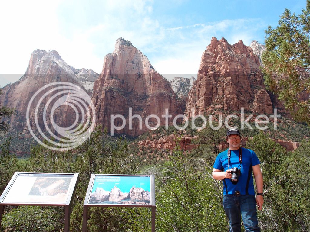
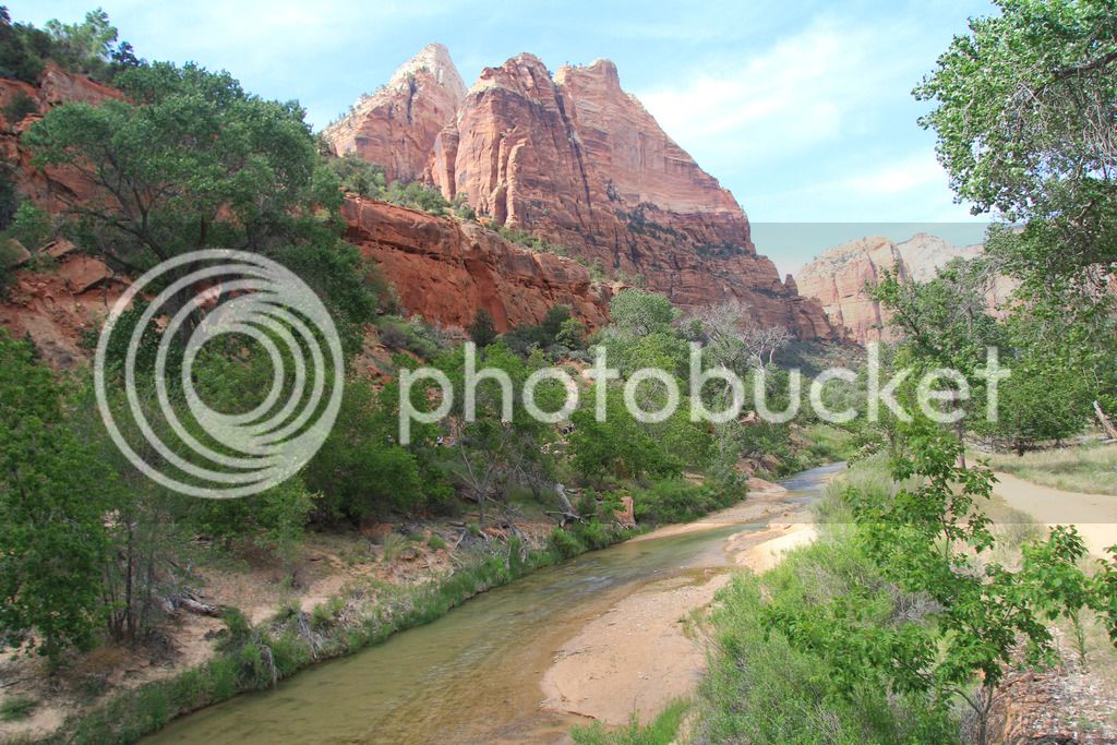
The Patriarchs

P6043674.jpg


IMG_8897.jpg
IMG_8917.jpg
IMG_8957.jpg


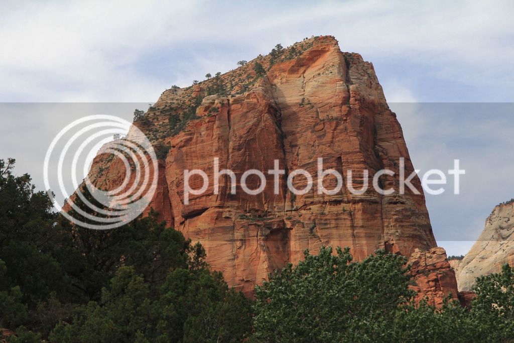
We liked Zion a lot, too, but I think you need to do either the Narrows or Angels Landing to really experience it and we are certainly not up to either of those. Angels Landing goes 4 miles straight up this mountain. If you look close you can see people near the top.

IMG_8990.jpg


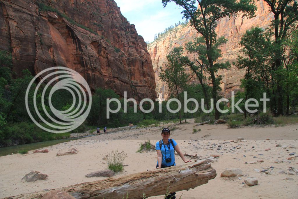
The Narrows is an 8 mile hike that is mostly wading in water through the narrow canyon that starts a mile around the corner from where Tammy is in this picture.

IMG_8987.jpg


We did the lower emerald pool hike instead which was not really worth the walk to us.

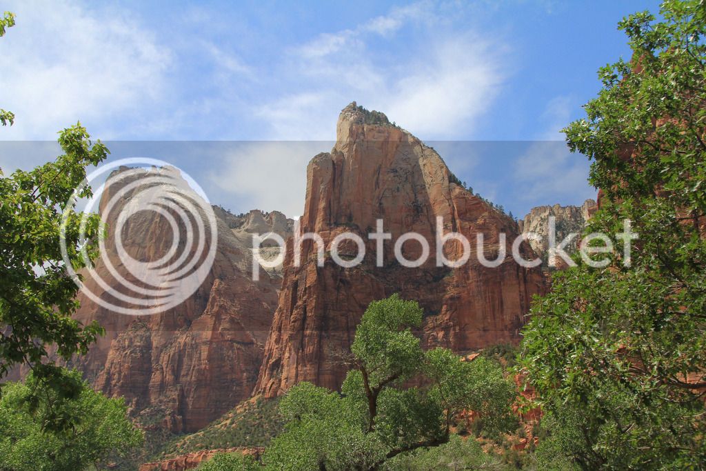
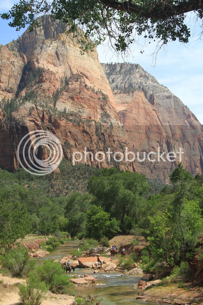
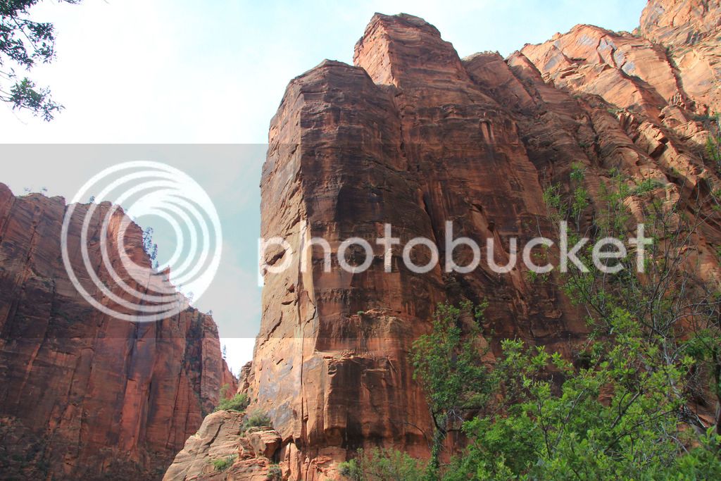
Zion is impressive not because it is more grand than the other parks, but because you are down in the canyon looking up instead of down into the canyon. It just feels more majestic. It's also very green and feels very removed from the desert.

IMG_8978.jpg


Total of 93 miles traveled from Bryce to Zion.

We drove back east on 9 in the morning to experience the roads again with maybe less traffic. It was a little better but not a lot. Still it was worth seeing again.

P6053718_edited-1.jpg
P6053695.jpg


Then we headed west toward Las Vegas to see Hoover Dam. We were planning on seeing it early Saturday morning and then stay in Kanab before going to the north rim. The weather was awesome for Vegas and was about 10 degrees cooler than it had been, so we went ahead and saw the dam that afternoon. We also had extra time so we drove through Lake Mead National Recreation Area instead of just slab.

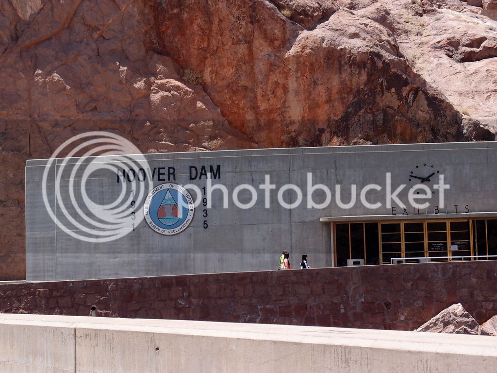
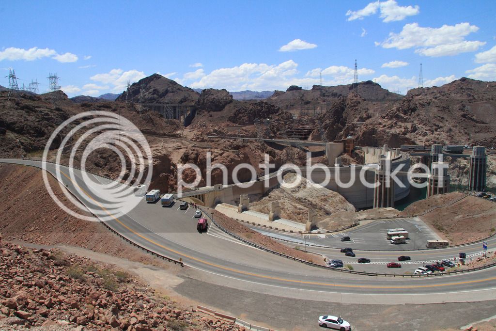
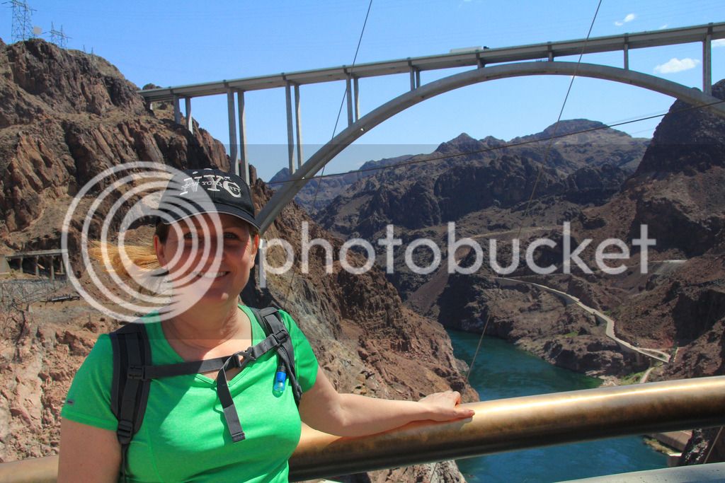
Hoover Dam was an interesting sight and we took the power plant tour. I didn't know you could drive over the dam again, so that was a pleasant surprise.

P6053783.jpg
IMG_9014.jpg
IMG_9038.jpg


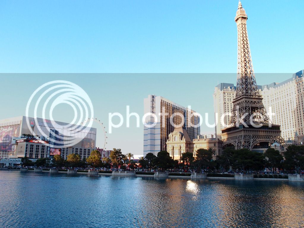
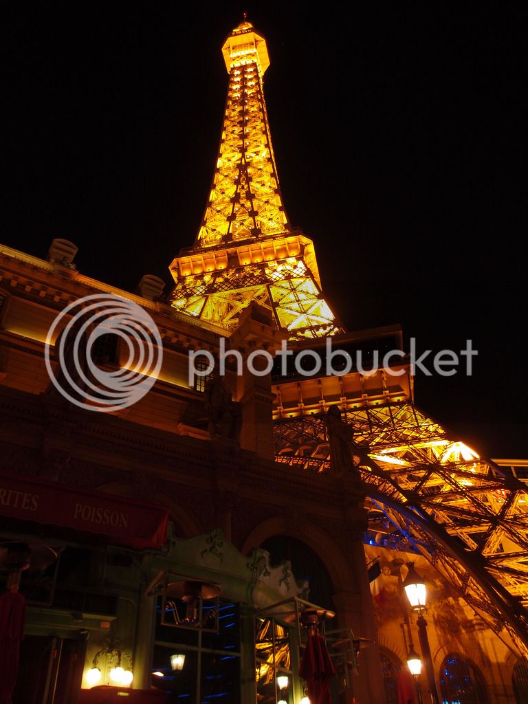
The most dangerous thing we did on the trip was driving down into Las Vegas on Friday night to see the strip. It was crazy crowded and the traffic was awful. The strip was kind of cool. Tam absolutely hated it.

P6053786.jpg
P6053791.jpg


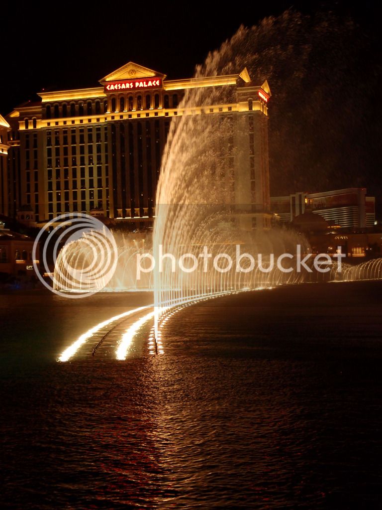
I liked the fountains at Bellagio.

P6053805.jpg


286 miles on Friday.

Continued...
 
I made another last minute call on Saturday, day 10, that turned out great. Instead of staying at Kanab, we would go ahead and see the Grand Canyon on Saturday and get to Page a day early and stay there two nights.

We headed back east that morning and as we turned south onto 67 toward the Grand Canyon, we started getting really cold and it looked like it could rain. We put the rain gear on for a layer of warmth more than for rain, but then the rain started. It rained pretty hard most of the way down to the canyon, but stopped right before we got there.

IMG_9078.jpg
IMG_9101.jpg
IMG_9102_edited-1.jpg


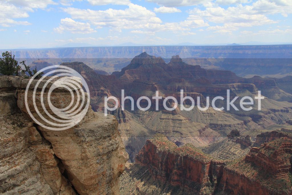
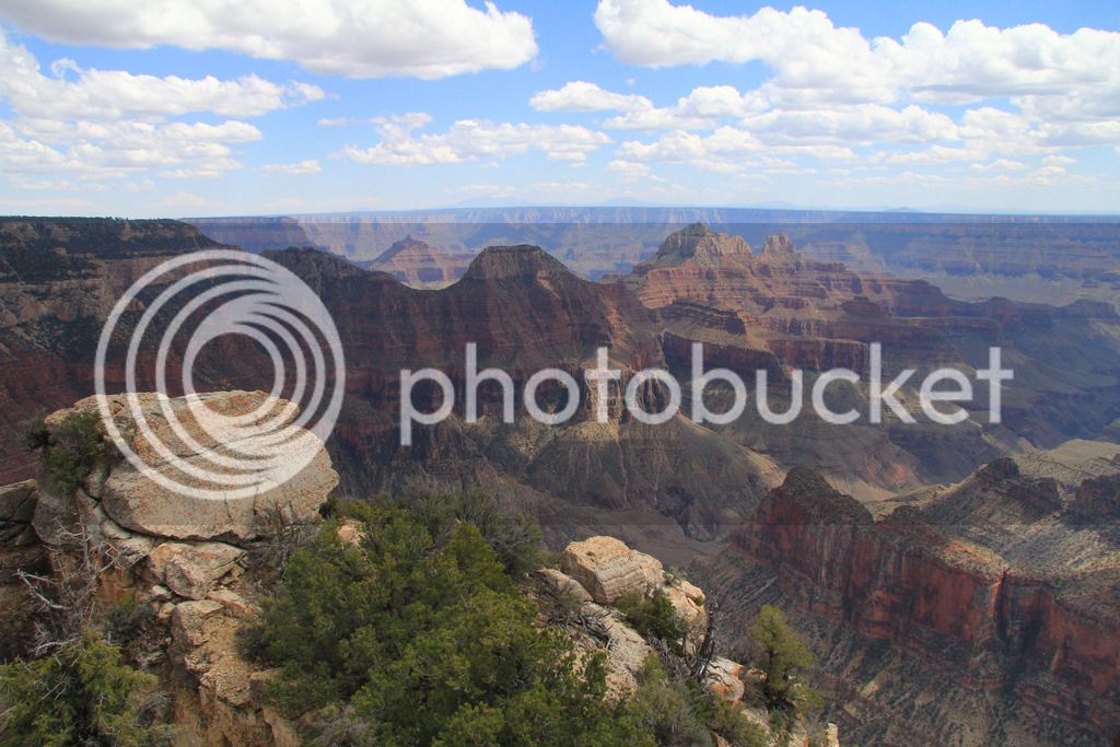
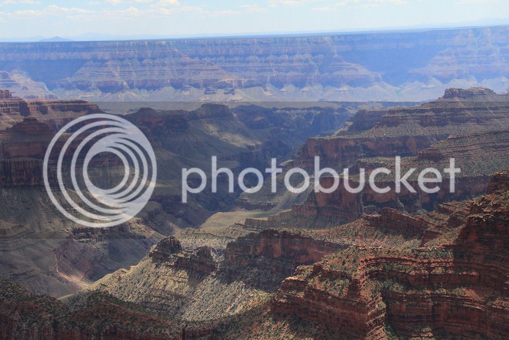
We parked and checked out the overlooks and ate lunch at the lodge. The views were great and we are so glad we've seen the Grand Canyon, but I think the views at Canyonlands stick with me more. I would still certainly recommend it, but you should make every effort to see the Utah parks, too. I'm so thankful you guys talked me into that.

From the big ditch, we headed back up then east toward Page. We knew we had to go down around this mountain area before we headed back north.

P6063868.jpg


It didn't seem to end and then we started heading into the mountain and realized it cut through and over instead of around. The picture below shows the spot we later learned was where the avalanche had 89 closed for over a year near Bitter Springs. It's in great shape now.

P6063878.jpg


Coming down into Page.

P6063882_edited-1.jpg


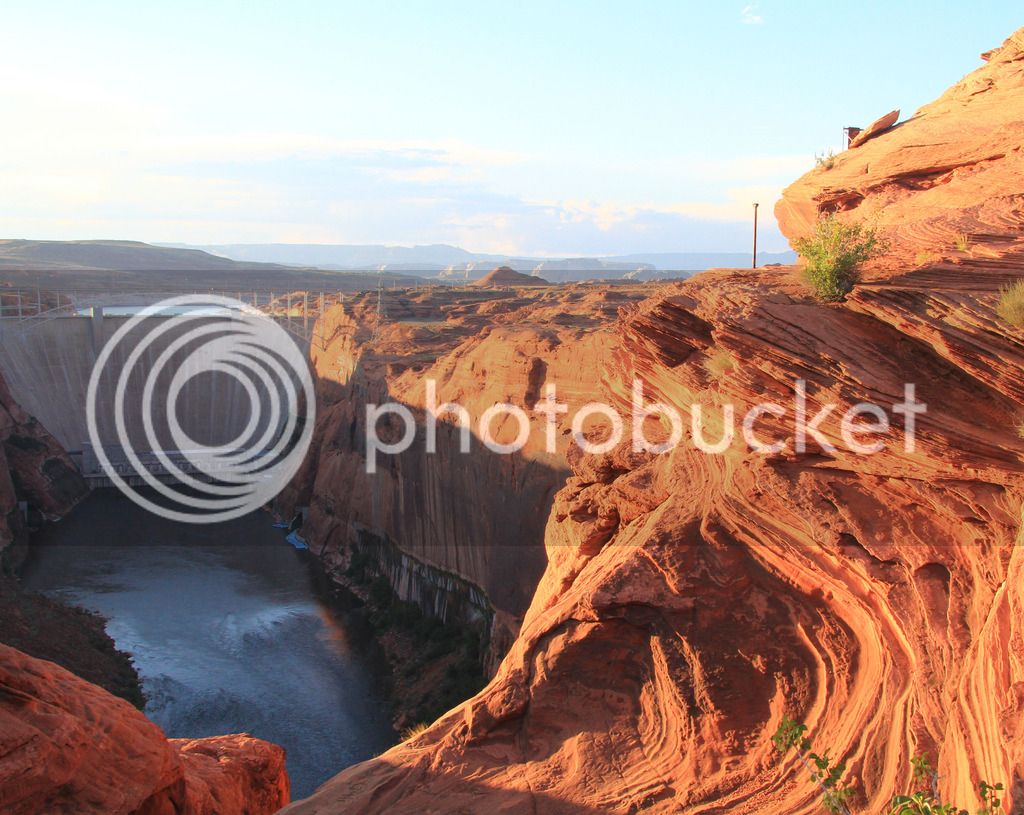
I left Tam to relax at the hotel and I drove down to get takeout from a restaurant, but first stopped at an overlook for the Glen Canyon Dam and took some pics.

IMG_9125_edited-1.jpg


400 miles traveled on day 10.

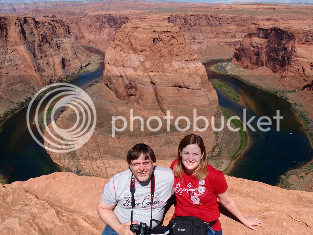
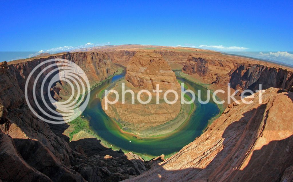
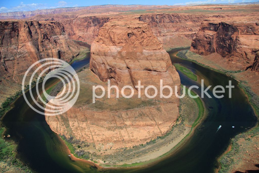
We loved Page, AZ. I'm so glad we were there all day on Sunday which was our 29th anniversary. We got up and went to Horseshoe Bend which is right outside Page on the Colorado. What a shocker!

P6073892.jpg


You just don't expect to see that view right there on that walk down from the road. This was my favorite sight of the trip.

IMG_9144_edited-1.jpg
IMG_9161.jpg


That little white thing down there is a tour boat.

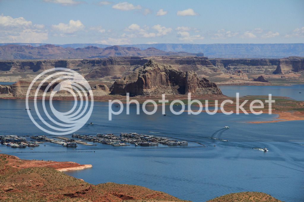
We drove out to get a better look at Lake Powell. It's a very pretty lake.

IMG_9179_edited-1.jpg


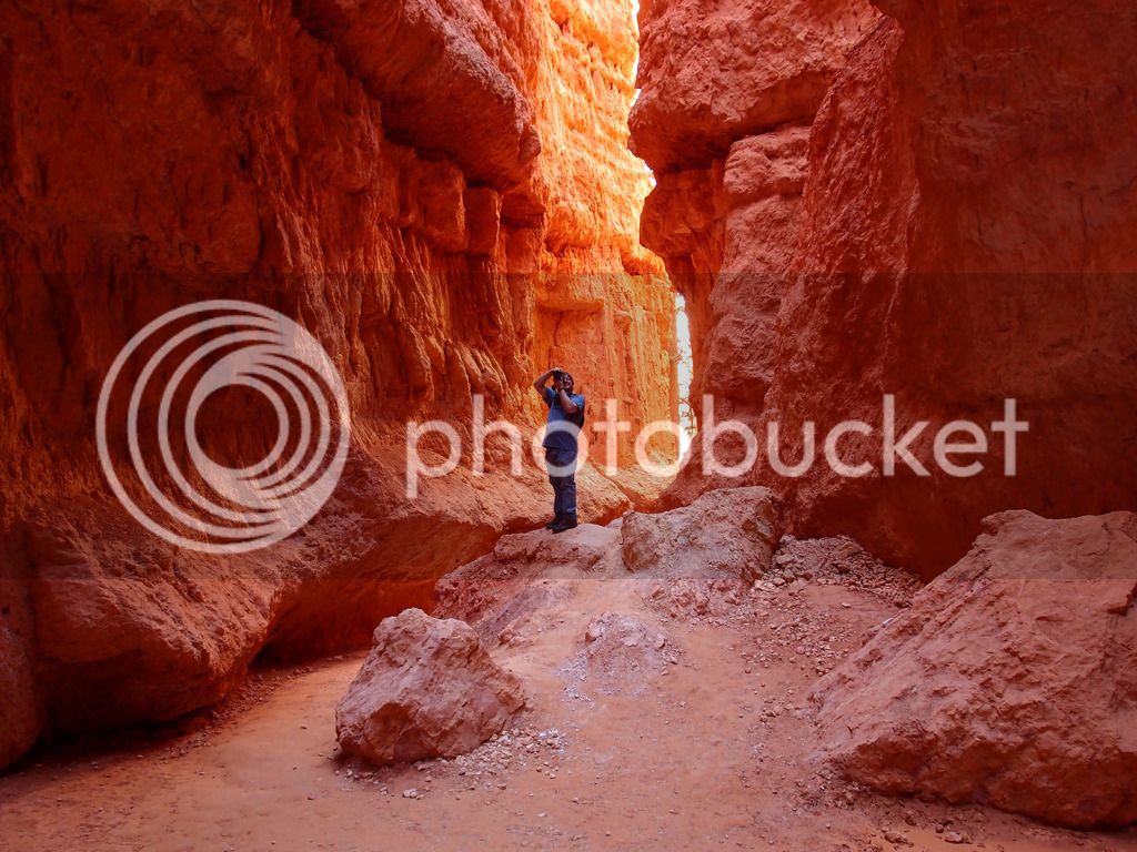
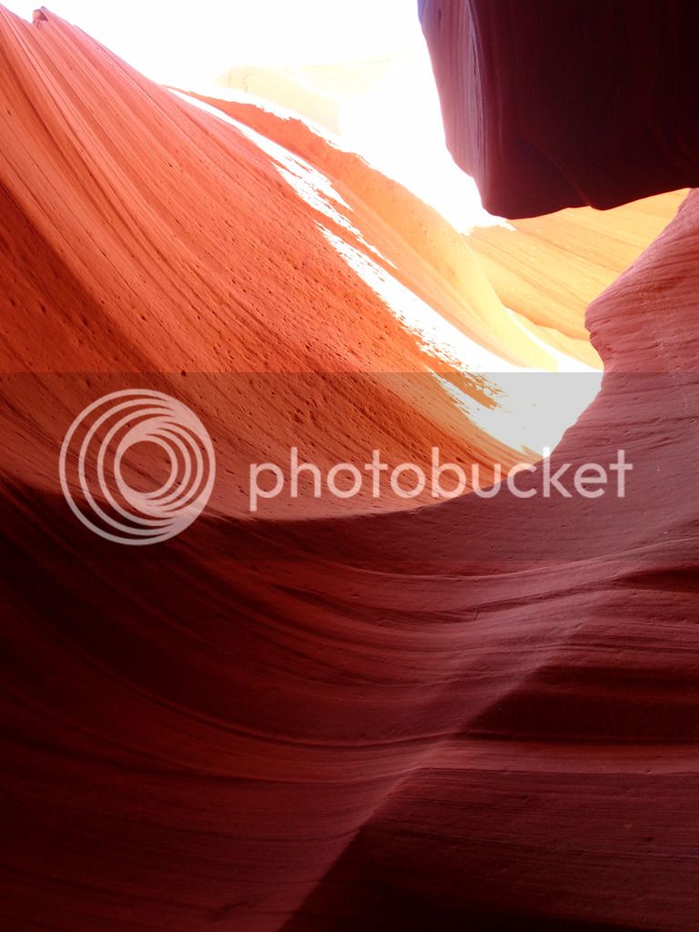
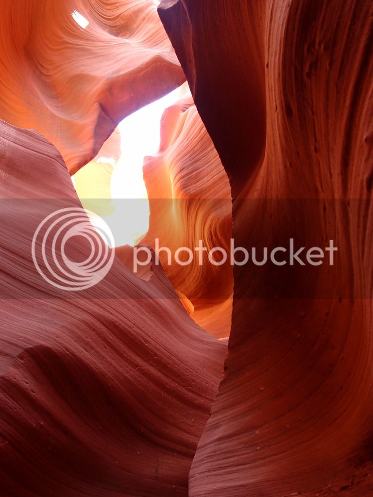
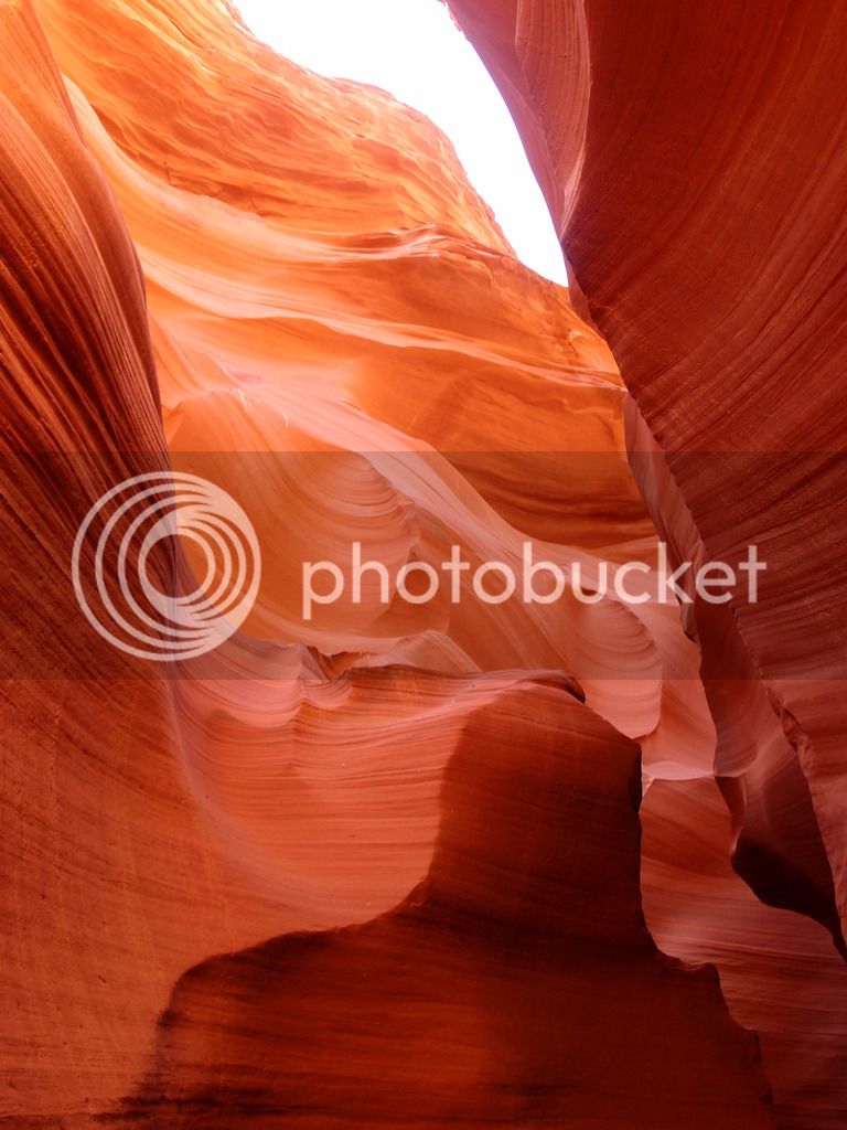
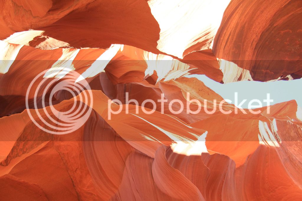
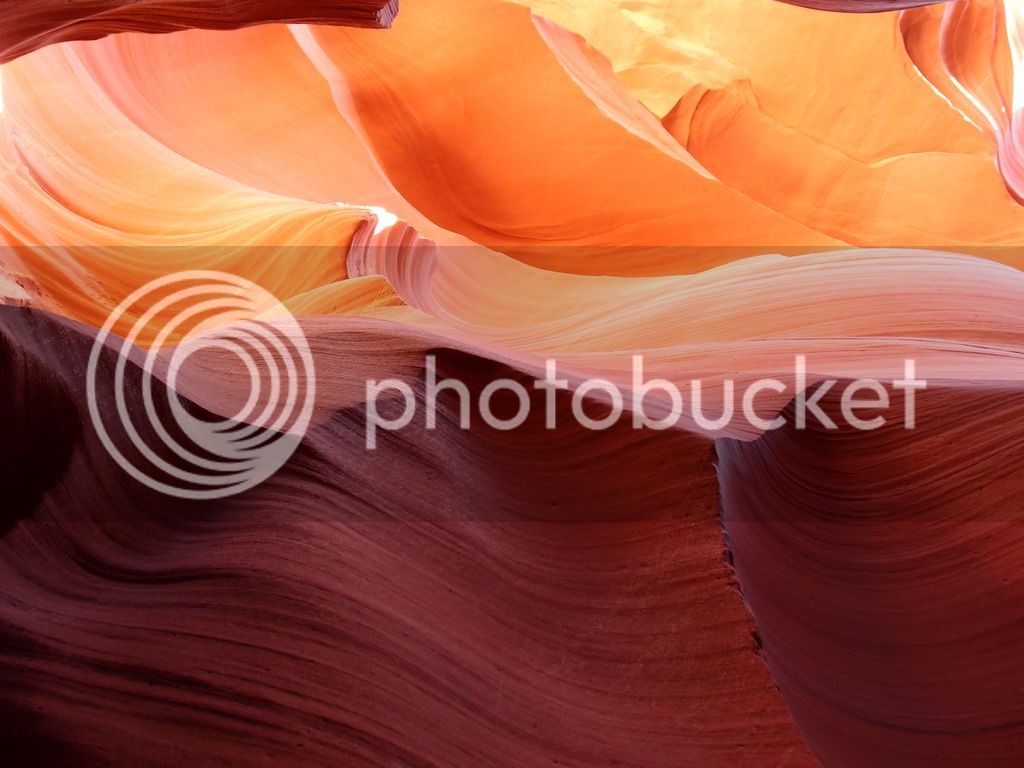
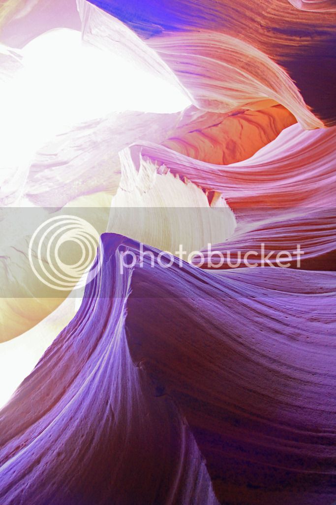
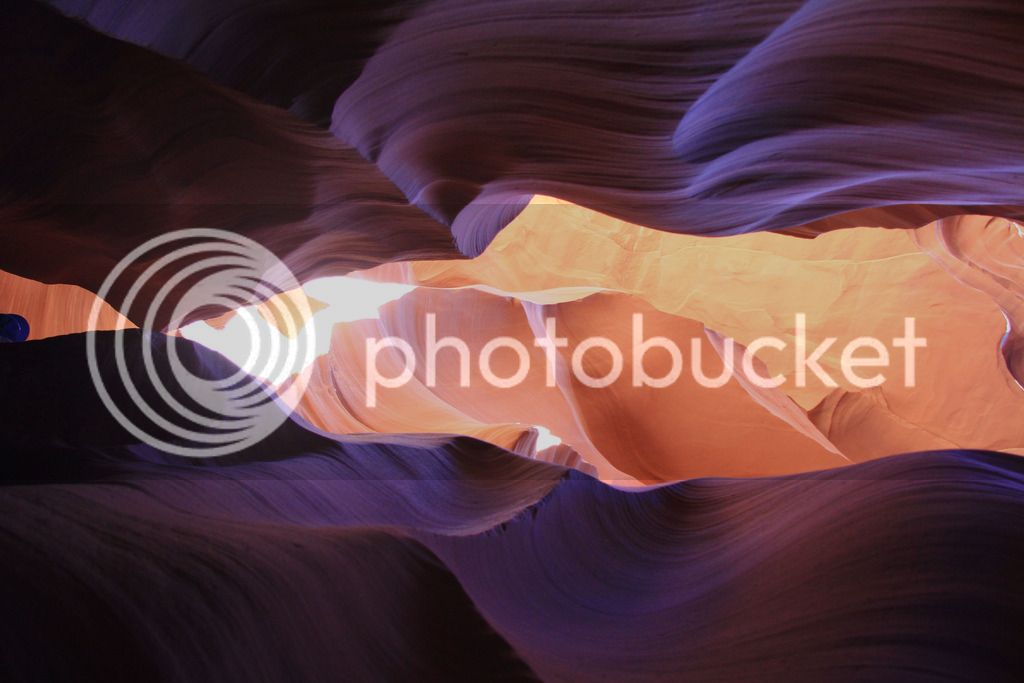
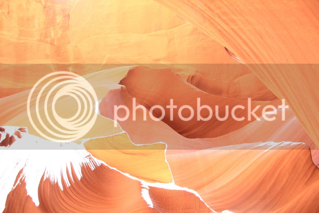
Redfish Hunter told us we needed to see Lower Antelope Canyon if we had time. With the extra day, we had time so I booked a tour with Ken's Tours. This topped Bryce Canyon for photography opportunities. We loved it! They do photographer tours at upper antelope that helps you try to capture even more creative lighting shots, but you can't go without a tripod and a DSLR. Tam doesn't have a DSLR and I sure as heck don't bring a tripod on the motorcycle, so that was out. Good thing, because it was incredibly hard going through 1000 pictures that are all interesting to pick just a few to show. If we had more I'd never have been able to get this trip report done. I narrowed it down to 11 for this report.

P6073932.jpg


P6073951.jpg


IMG_9239_1.jpg


P6073959.jpg


IMG_9258.jpg


P6073962.jpg


IMG_9337_edited-1.jpg


P6073977_edited-1.jpg


IMG_9366.jpg


IMG_9367.jpg


IMG_9413.jpg


That hole in the ground was where we took all those pictures.

Had our anniversary dinner at Mexican restaurant El Tapitios and it was GOOOD!

63 miles traveled around Page on day 11.

Continued...
 
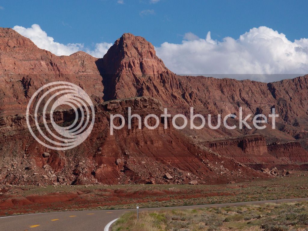
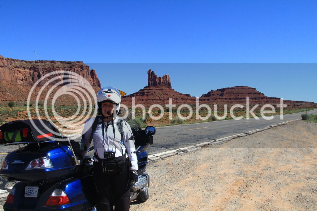
Monday, day 12, we headed toward Colorado to ride some mountain roads before heading home. First we went through Monument Valley. I pulled off to take this pic and the road dropped a lot more than expected and then there was a gully. Glad my shocks were in good shape cause it hit pretty hard. I was pretty cautious for the next few miles but it was fine.

IMG_9420.jpg


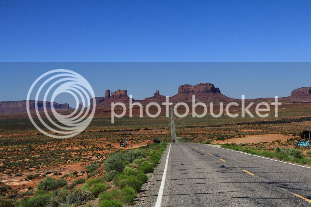
Had to get the Forrest Gump shot:

IMG_9433.jpg


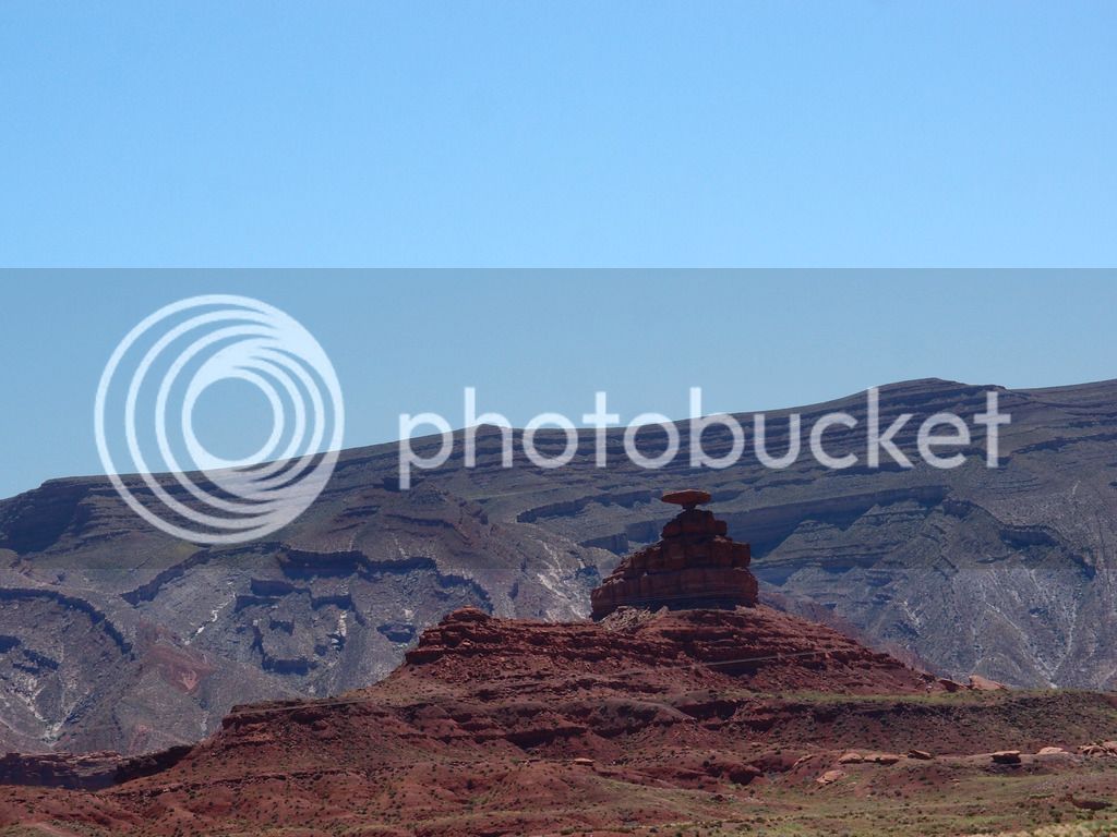
I was not that impressed with Mexican Hat after everything we had seen.

P6084014_edited-1.jpg


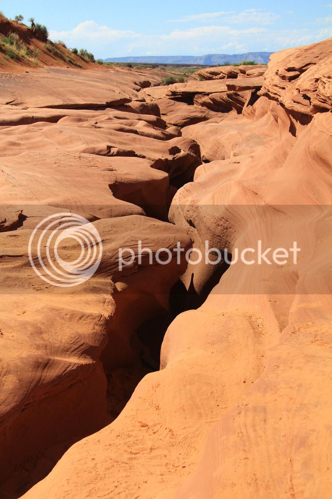
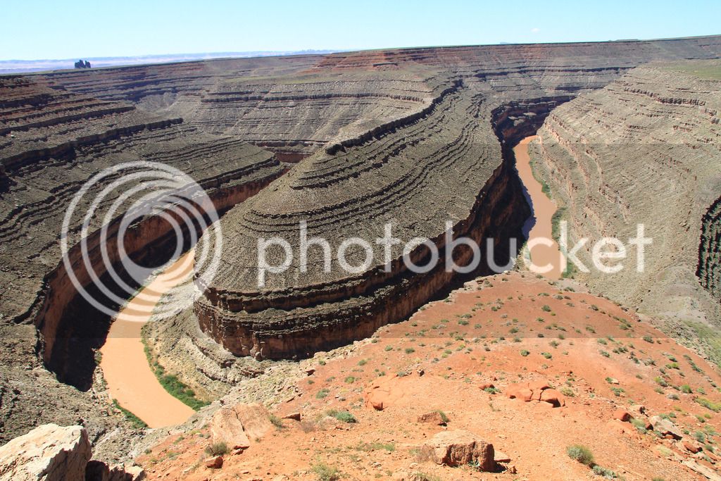
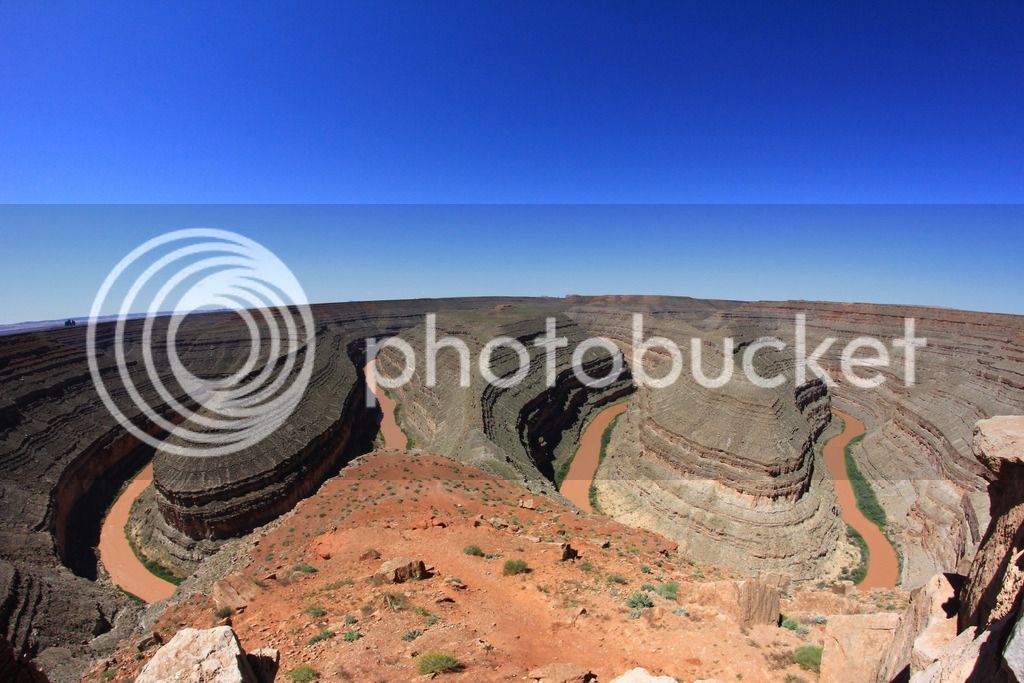
Goosenecks was surprisingly interesting though. It's not nearly as high or spectacular as Horseshoe Bend, but you get two bends.

IMG_9446.jpg
IMG_9453_edited-1.jpg


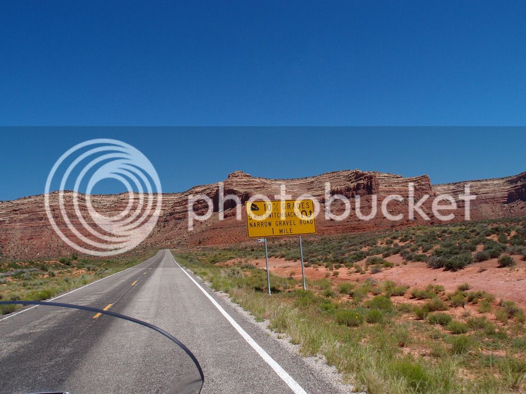
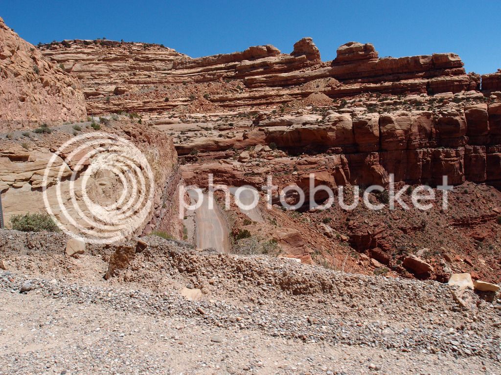
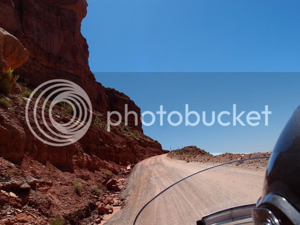
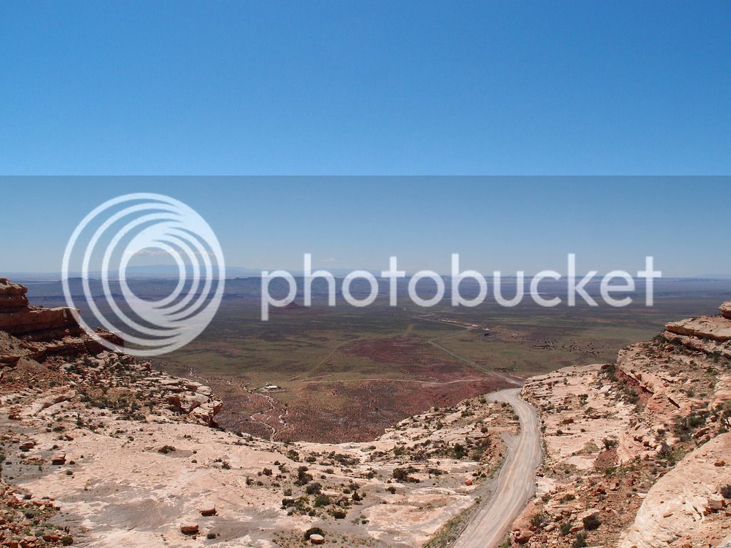
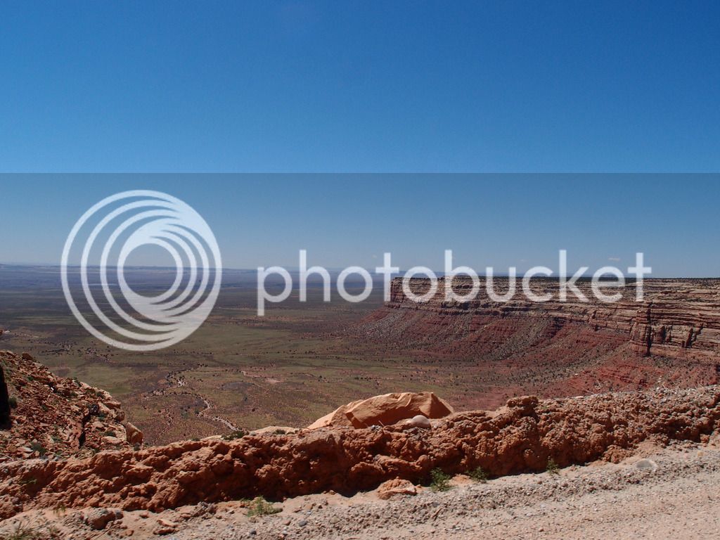
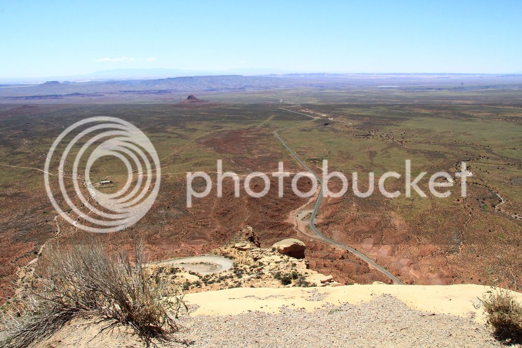
Moki Dugway is just about 6 miles north of the road to Goosenecks and I had discussed it with Tam a few times. She hates gravel roads, but I could tell she was softening to the idea, so I pushed ahead.

P6084023_edited-1.jpg


P6084037.jpg


It was really steep and between the gravel and the heights, it got to me more than I had ever dreamed it would. You sure didn't want to have to stop on a 10% incline on gravel on a big bike like a Goldwing or an FJR.

P6084029_edited-1.jpg
P6084043_edited-1.jpg
P6084050_edited-1.jpg


The root of the problem was that I started tensing up like when you start to freeze on the edge of a cliff. That doesn't work on a bike. I do ok on gravel, but I am not confident with my abilities on it and get nervous. I looked over the edge and tensed up a lot. I pulled away from the edge unknowingly and before I knew it I was hugging the inside of the road right by the ditch. Then like a newbie, I looked at the ditch. You go where you look. I was only an inch from that ditch and had trouble pulling myself back closer to the edge. It really scared me that I came that close to dumping us. Tam was saying "Paul! We're almost in that ditch! What are you doing?" I was crapping my pants, that's what I was doing. I'm still mad at myself about it and am working through the lessons learned.

IMG_9460.jpg


We went on up 261 and across 95 E toward Durango

P6084059.jpg


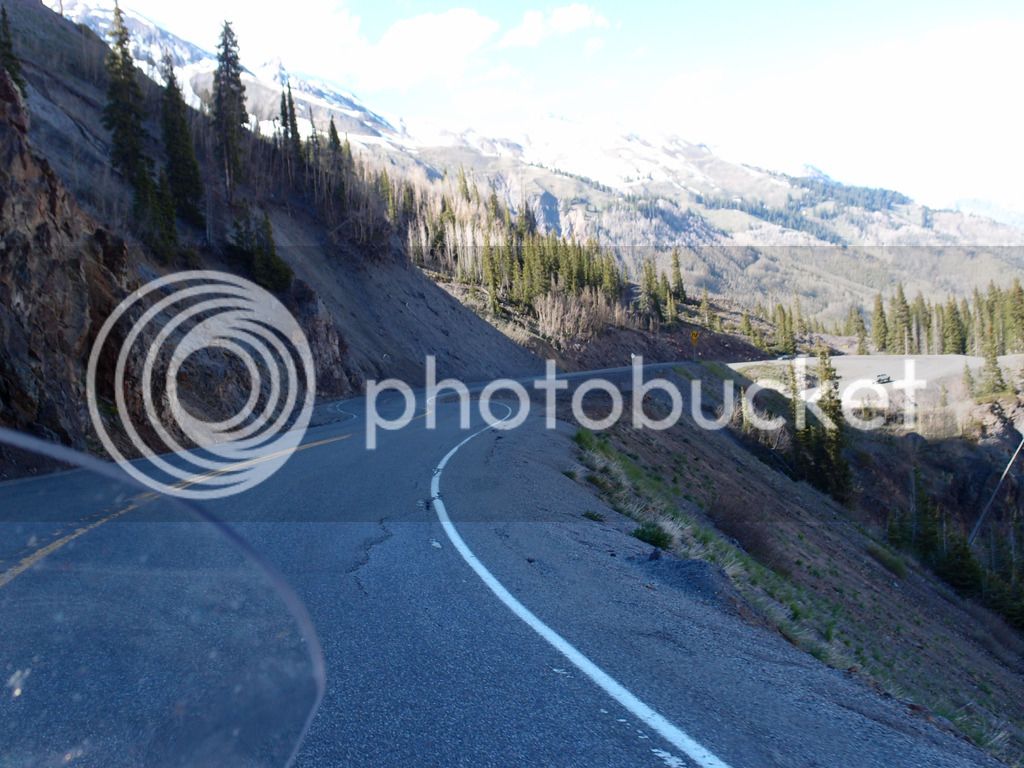
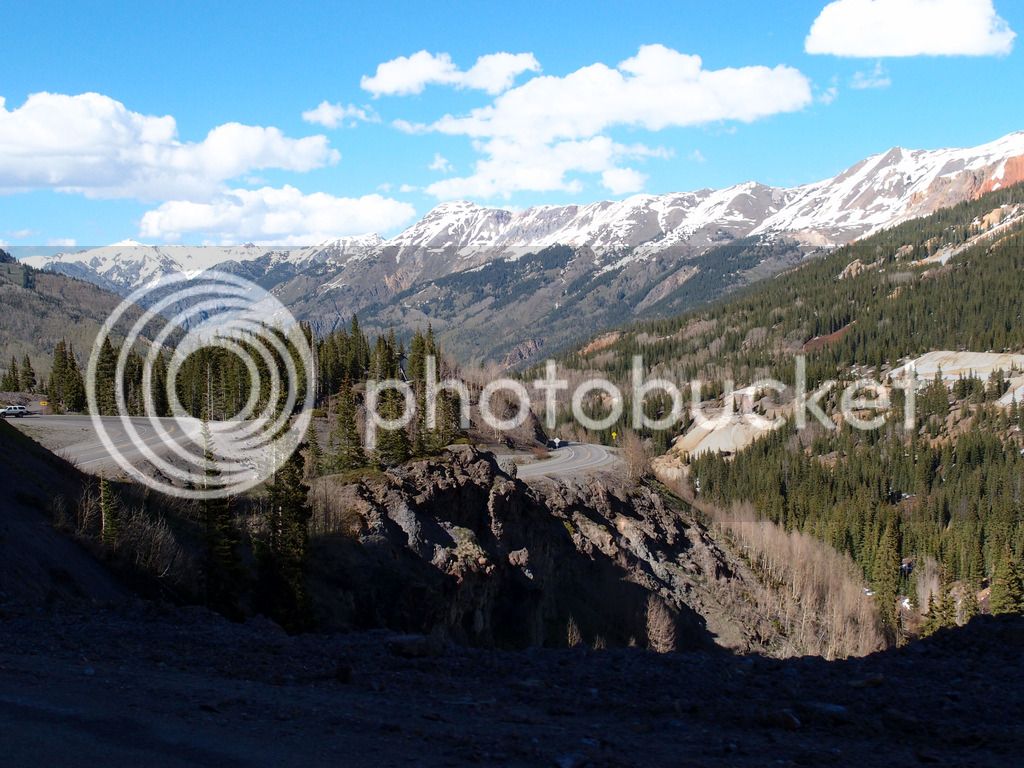
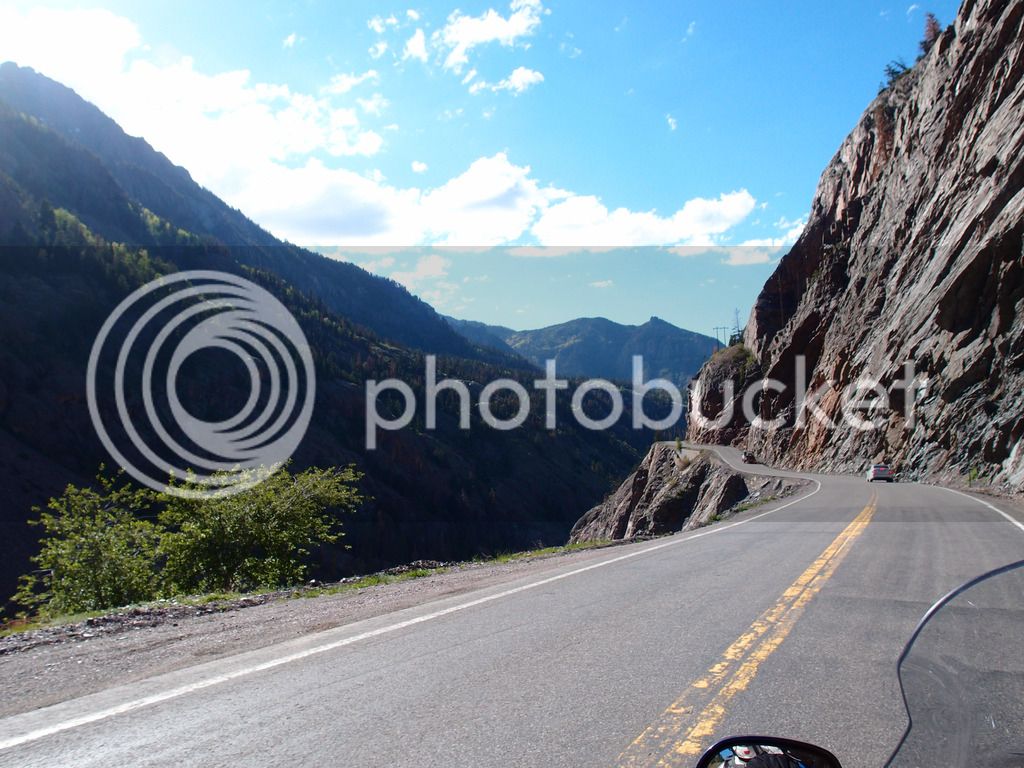
At Durango we got on the Million Dollar Highway. This was a goal of mine because now I've ridden 9 of the top 12 of AMA's top 15 Motorcycle Roads as published in 2011.

P6084161.jpg


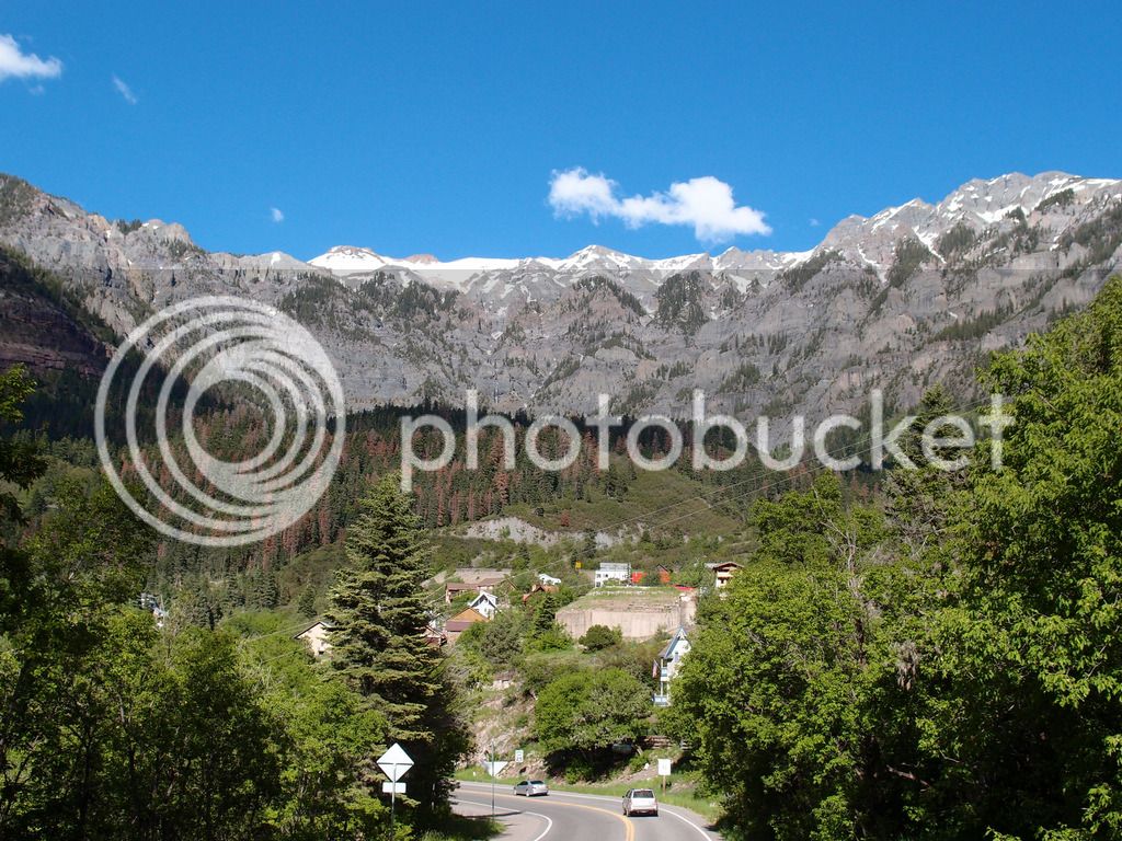
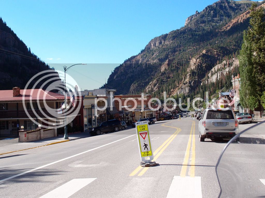
It really is a worthy road in my opinion. Great scenery, a variety of twisties and switchbacks, and we had very little traffic on that Monday afternoon.

P6084082_edited-1.jpg


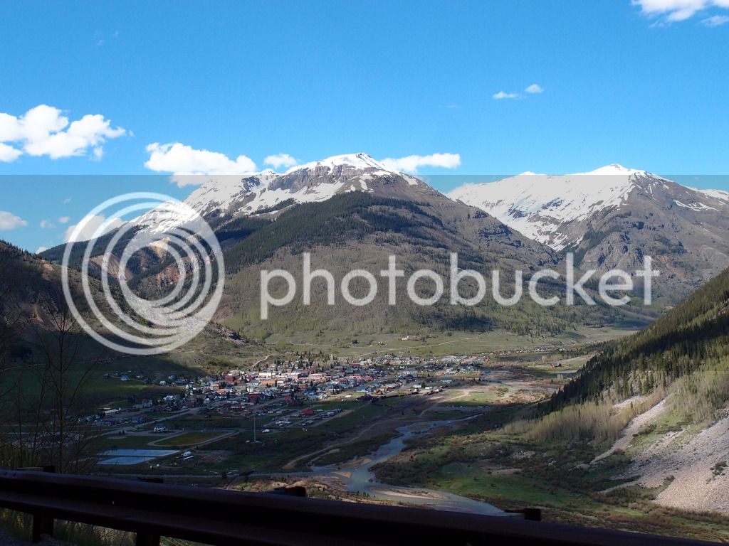
Silverton, CO

P6084140.jpg


IMG_9478_edited-2.jpg


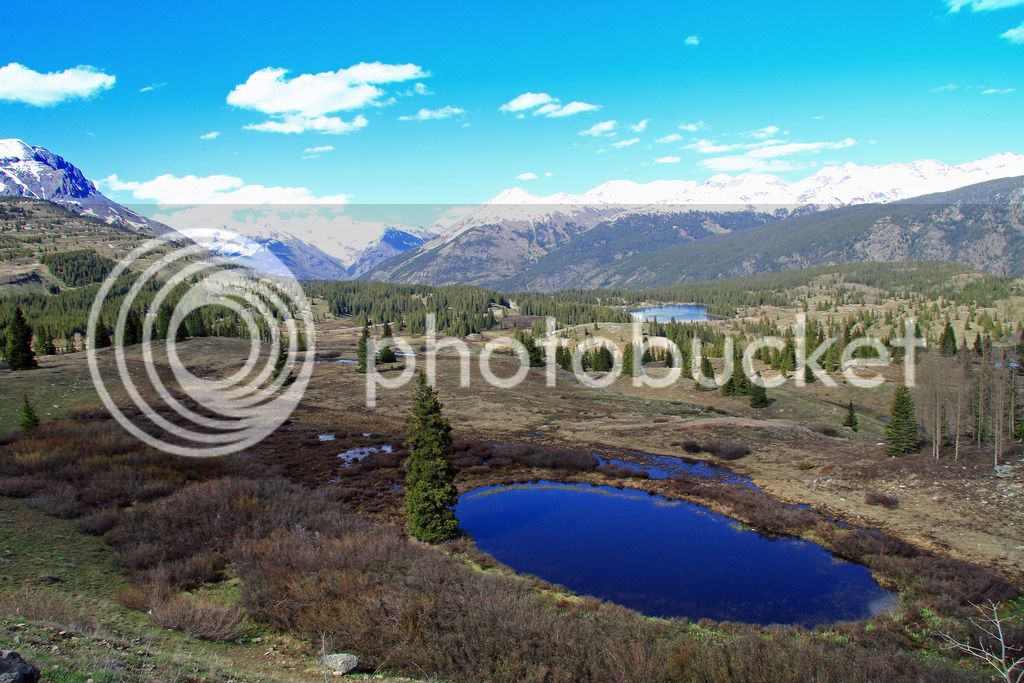
Mora Pass (Mora less)

IMG_9484.jpg
P6084166.jpg
P6084168.jpg
P6084200.jpg


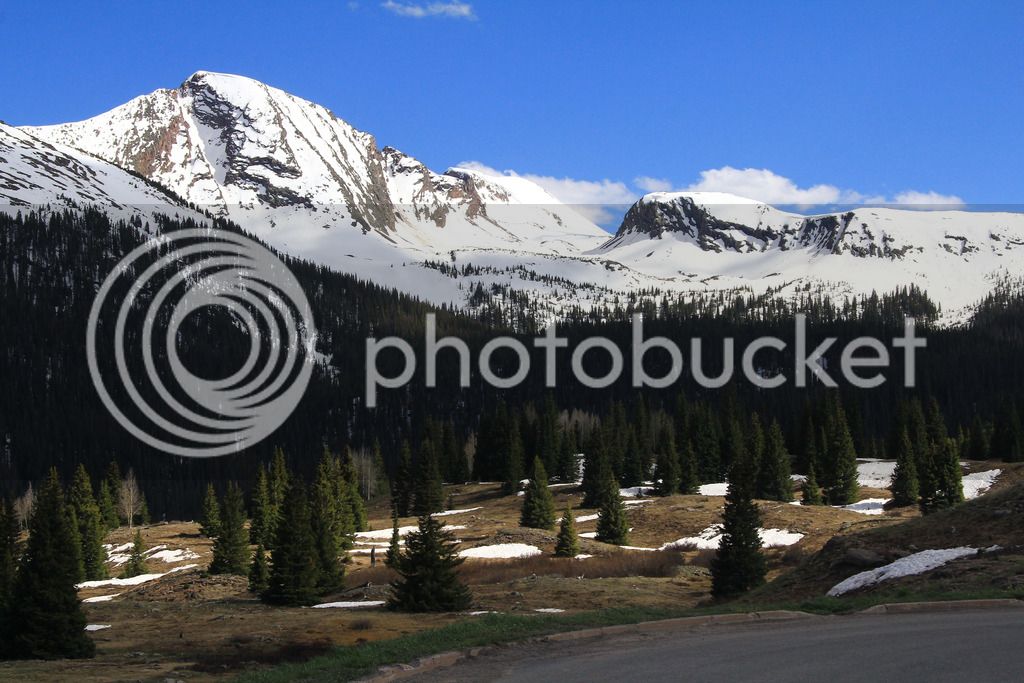
Some parts reminded me of Glacier, and other parts reminded me of Beartooth.

P6084210.jpg


Ouray

P6084212.jpg


Even though we were pretty well rested, it was a long 470 miles as many were technical miles. We were really glad to make Montrose, Colorado for the night and were happy to find a restaurant in walking distance.

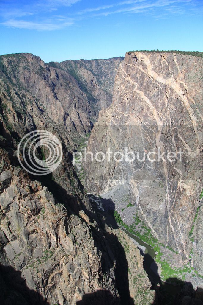
I had planned Tuesday to be another great riding day and we were ready for it after a good night's rest. First we went into Black Canyon of the Gunnison National Park and enjoyed the scenery there. I had wondered if we had seen so many canyons this trip we should skip it, but it was different than the others in many ways and was a good visit. It was smaller but very steep and right in front of you.

IMG_9523.jpg


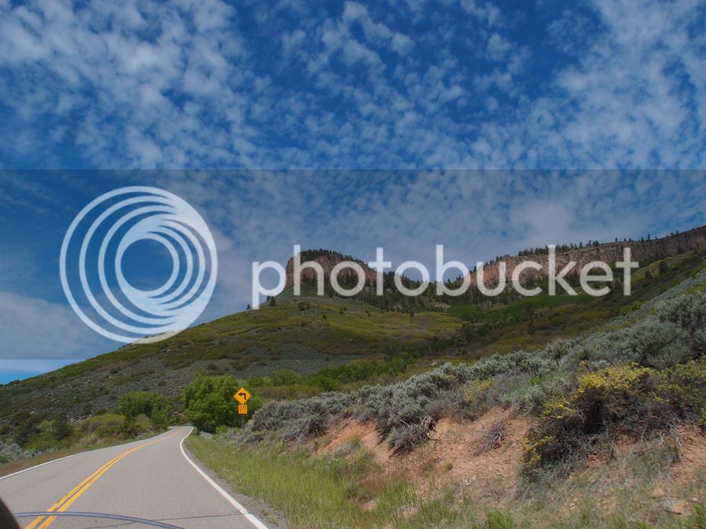
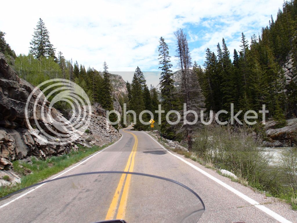
Then we headed east on 50 to ride 92. I didn't expect anything from 50 but it was fast sweepers that were really fun to navigate. Then 92 twisted up through the mountains and I could see why it is a favorite of many. It's a very fun road. Good scenery too.

P6094256.jpg


P6094283_edited-1.jpg


Tam was especially taken with the sky that morning.

P6094233.jpg


P6094238_edited-1.jpg


P6094268.jpg


P6094285_edited-1.jpg


We took 133 over McClure pass. I see why they call this town Redstone.
P6094292.jpg


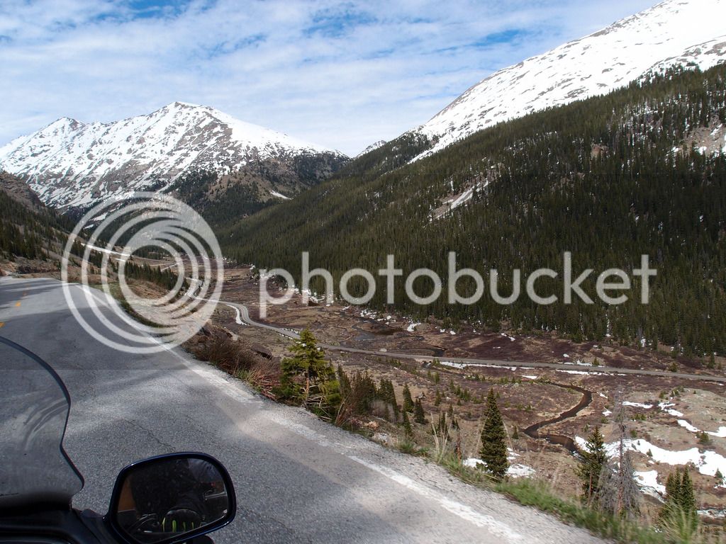
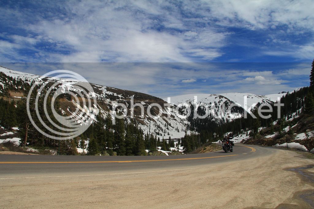
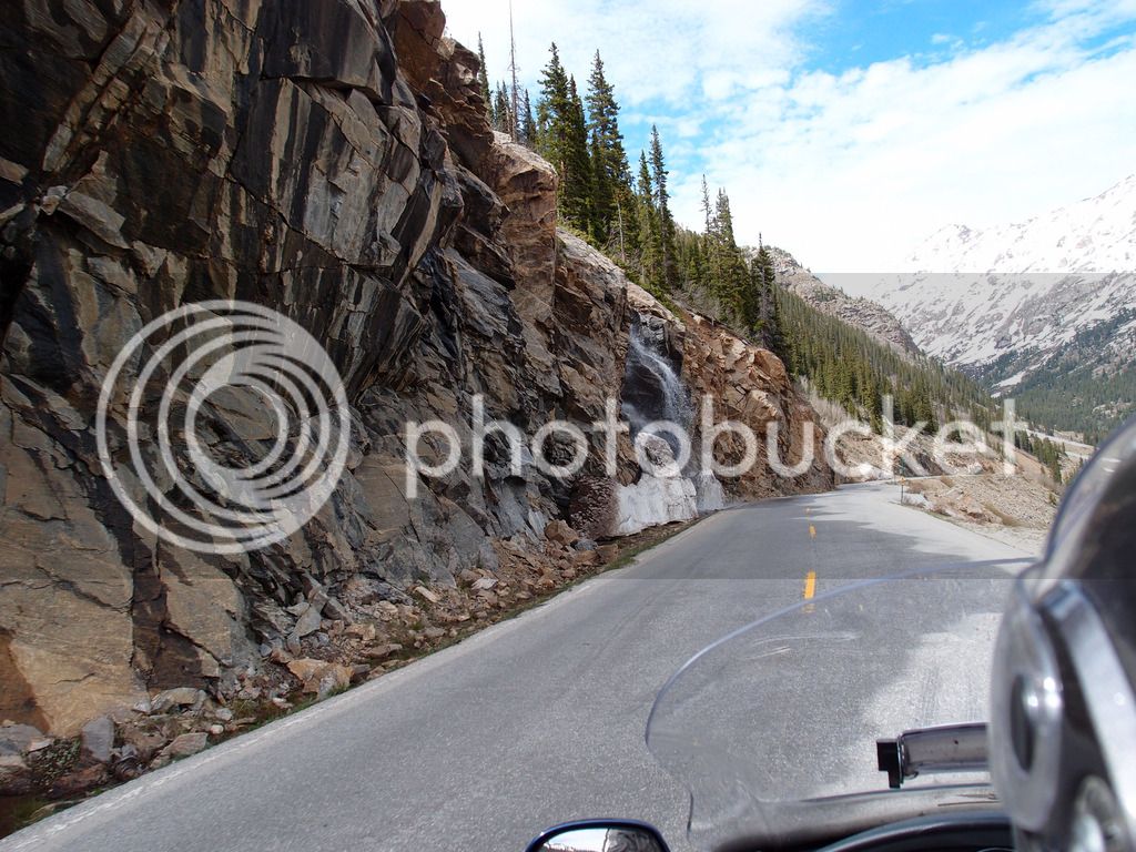
Then we took 82 east toward Independence Pass. We enjoyed 133, but on 82 the traffic was horrible up to Aspen. I didn't enjoy that very much. But right after Aspen, the road thinned and the traffic disappeared. 82 changed into a thing of beauty.

P6094300.jpg


P6094306.jpg


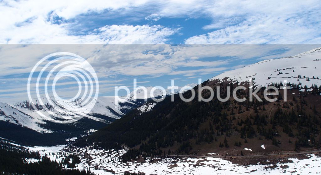
That's a great road. Once it got up in the mountains there was a LOT of snow.

P6094324_edited-1.jpg


P6094330_edited-2.jpg
P6094342.jpg
IMG_9554.jpg
P6094344.jpg


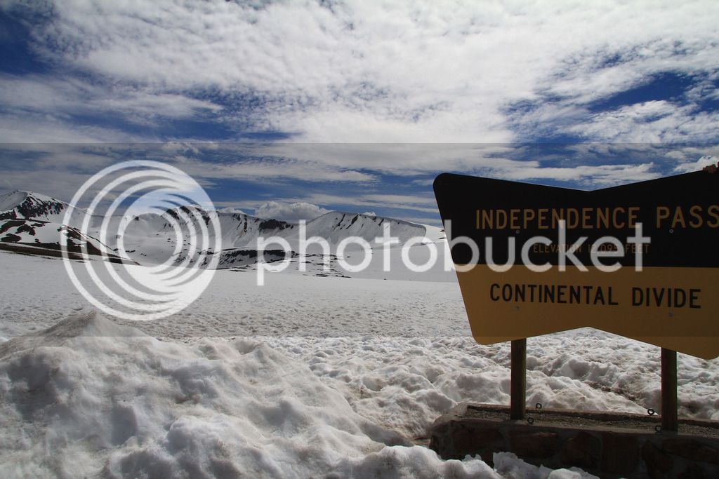
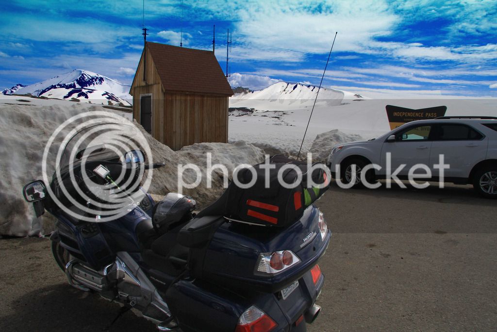
Independence Pass was a little crowded but still beautiful and deep with snow.

IMG_9562.jpg
IMG_9568_edited-2.jpg


P6094352_edited-2.jpg


Collegiate Peaks west of Buena Vista, CO.

P6094362.jpg


Rain was looming as we headed toward the Colorado Springs area but it never hit us.

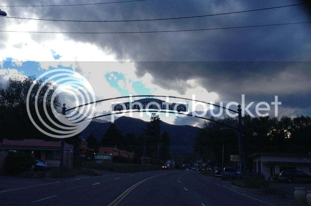
Made it to our hotel in Manitou Springs for 377 total miles on day 13.

Continued... (just one more)
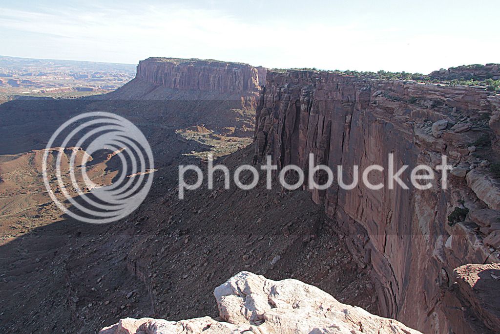
 
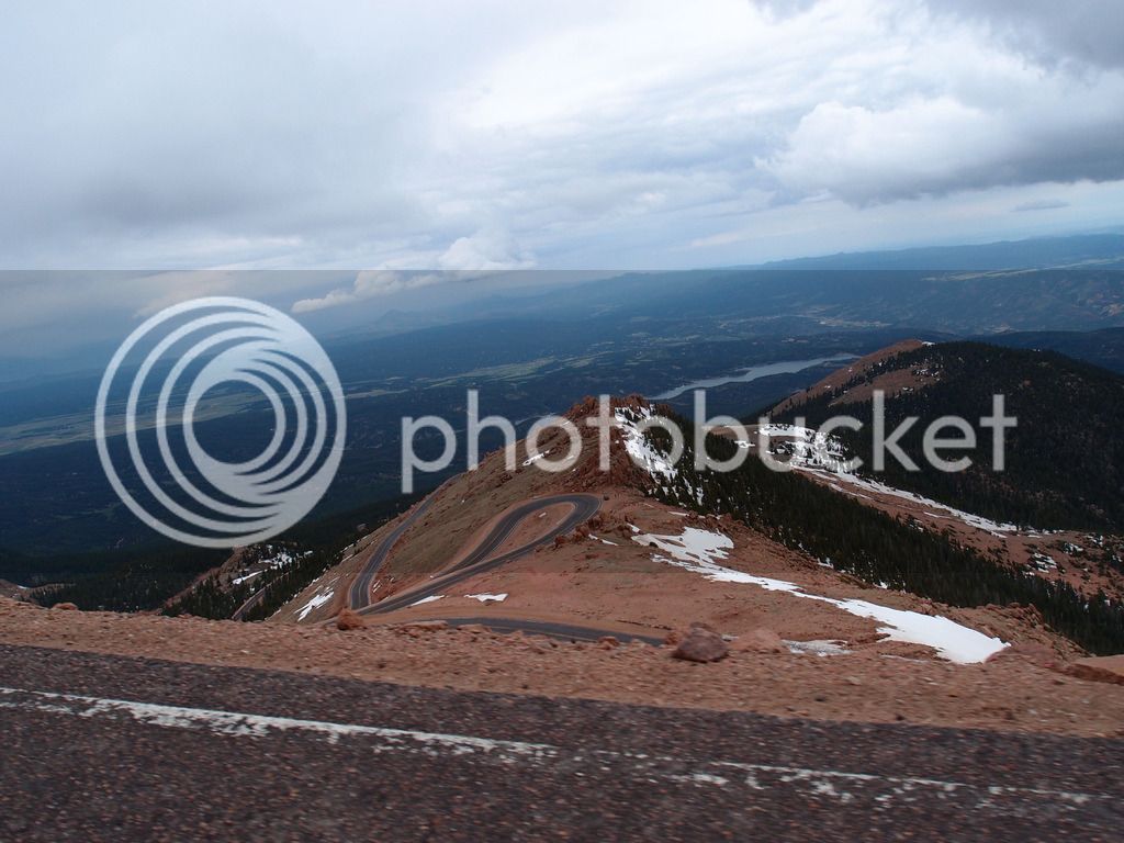
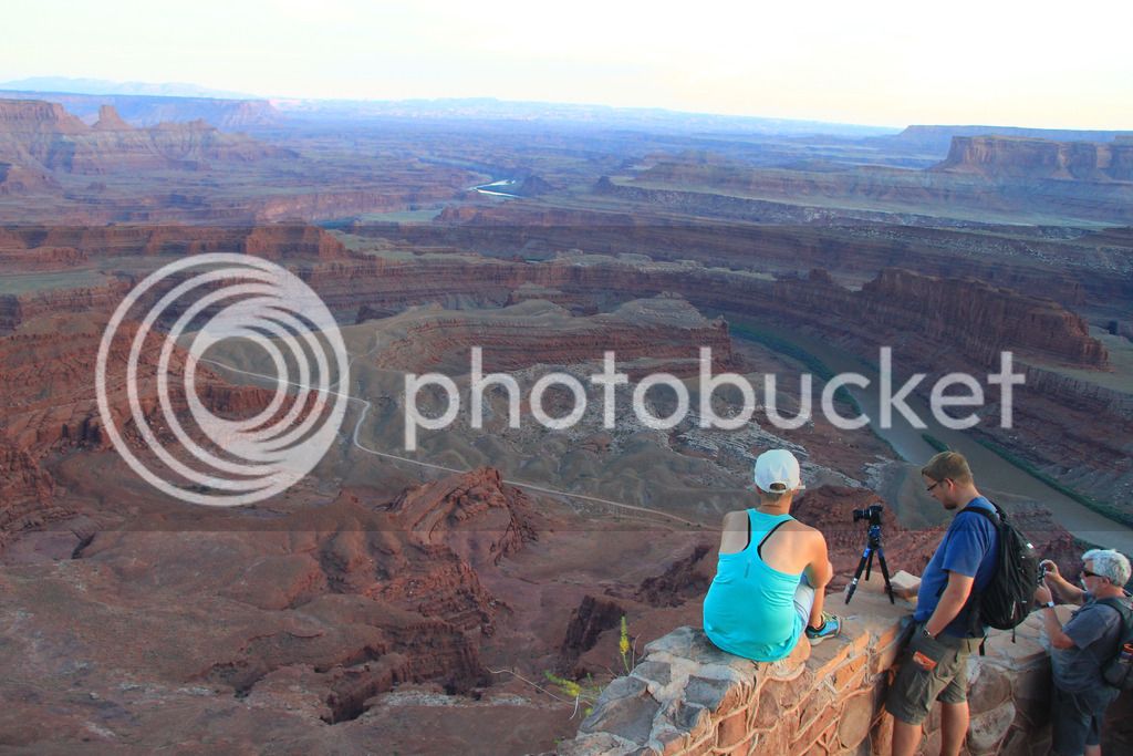
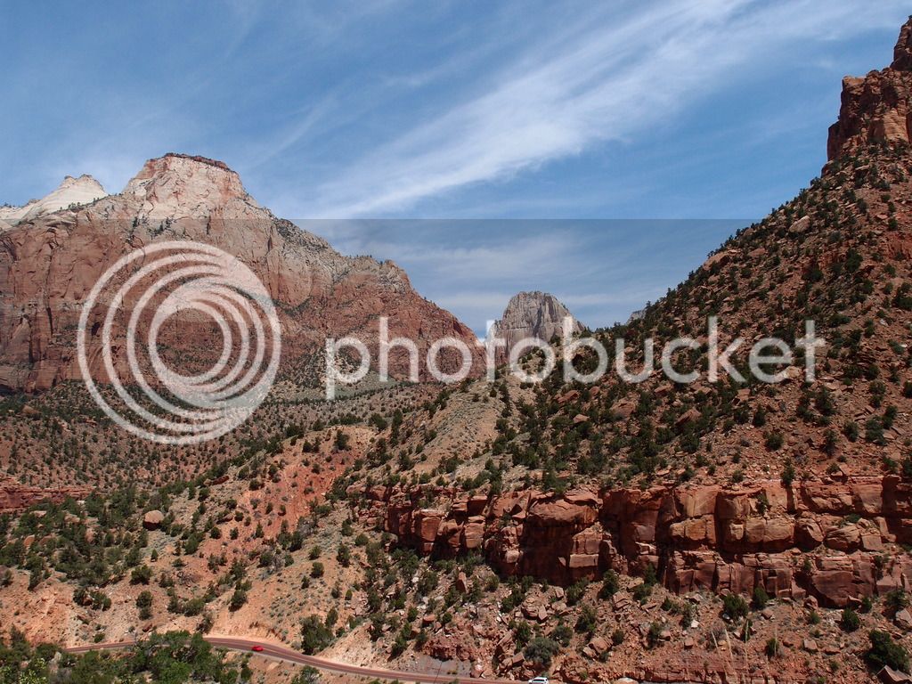
For Wednesday, day 14, we planned to ride up Pike's Peak and then go to Cripple Creek but there was a lot of rain in the forecast. We got up and it wasn't raining but it was moving in. I thought we had better go ahead and hit Pike's Peak to beat the rain.
P6104378.jpg


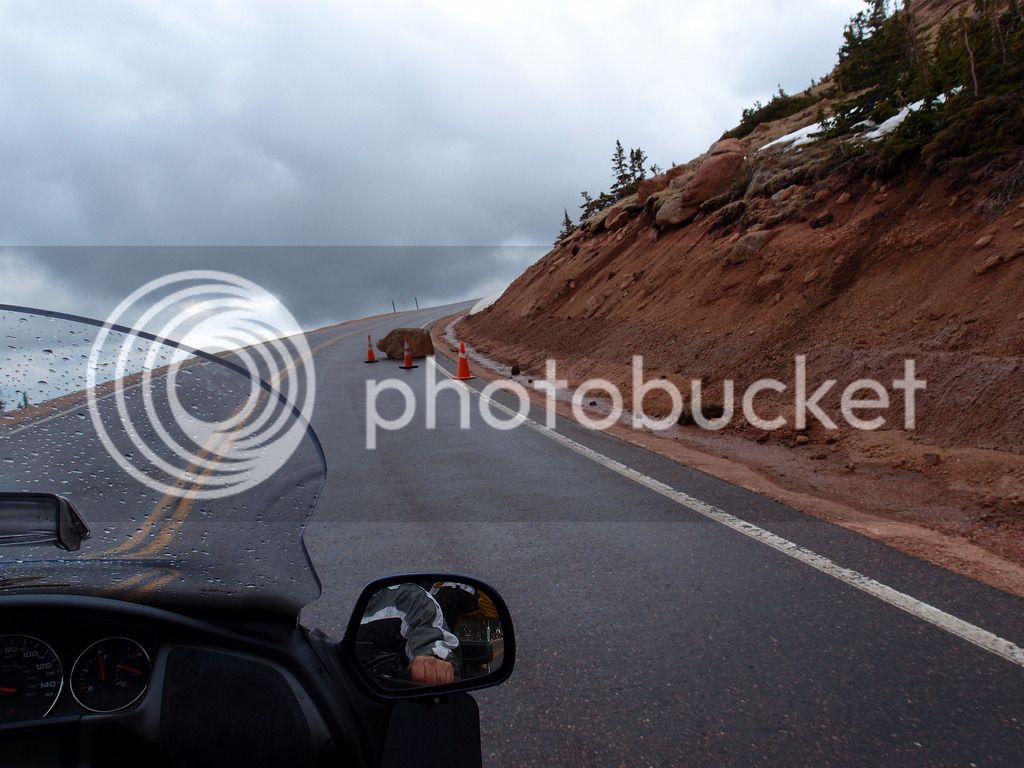
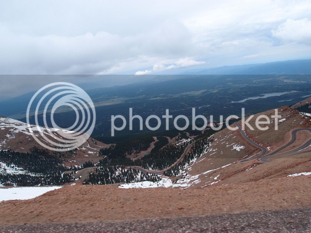
It started raining right after the entrance, but not too heavy of a rain. Very tolerable if we weren't on the side of the mountain. I do better in rain than gravel so I was ok on the switchbacks with steep incline here much more than at Moki. I was still a little tensed up from the height and once I said, "lean, lean!" and Tammy said, "I'm leaning" and I replied, "No, me! I'm talking to myself."

P6104395.jpg
P6104406_edited-1.jpg
P6104399_edited-1.jpg
P6104414.jpg


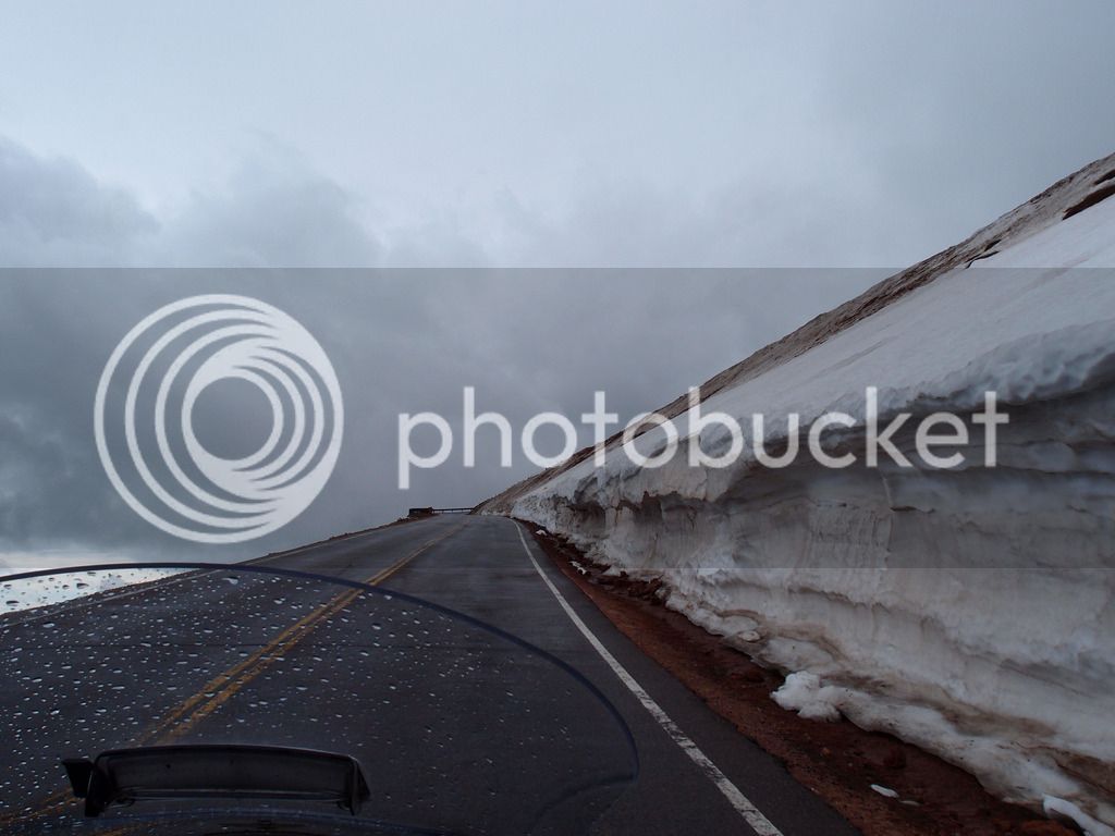
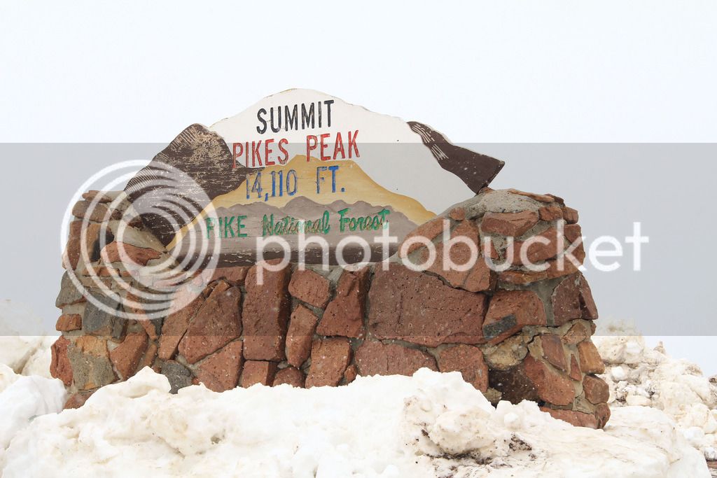
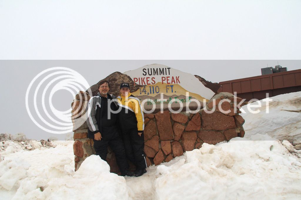
Just before we got to the top the rain turned to snow. We weren't expecting that. It was still well above freezing so the roads were safe, but still it was snow on mountain switchbacks.

IMG_9587.jpg
IMG_9589.jpg


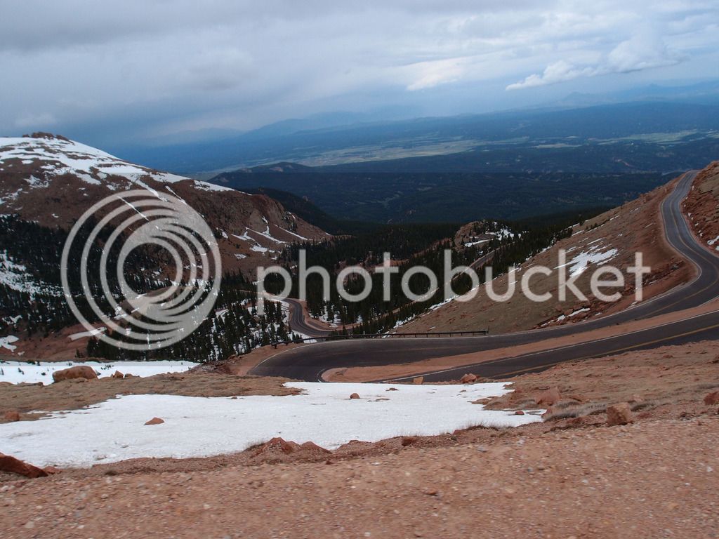
The road back down was much easier than I expected since the rain had quit. I was even brave enough to look at a little scenery.

Pike's Peak was a little scary but was a ton of fun. It was surprisingly my favorite road of the trip.

P6104449_edited-1.jpg


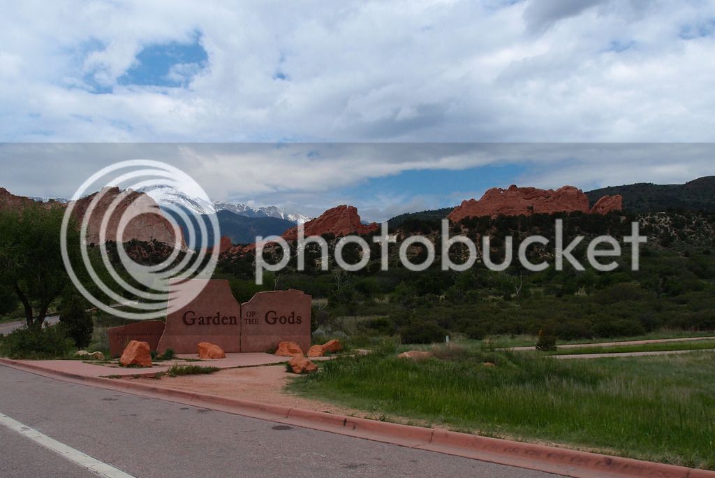
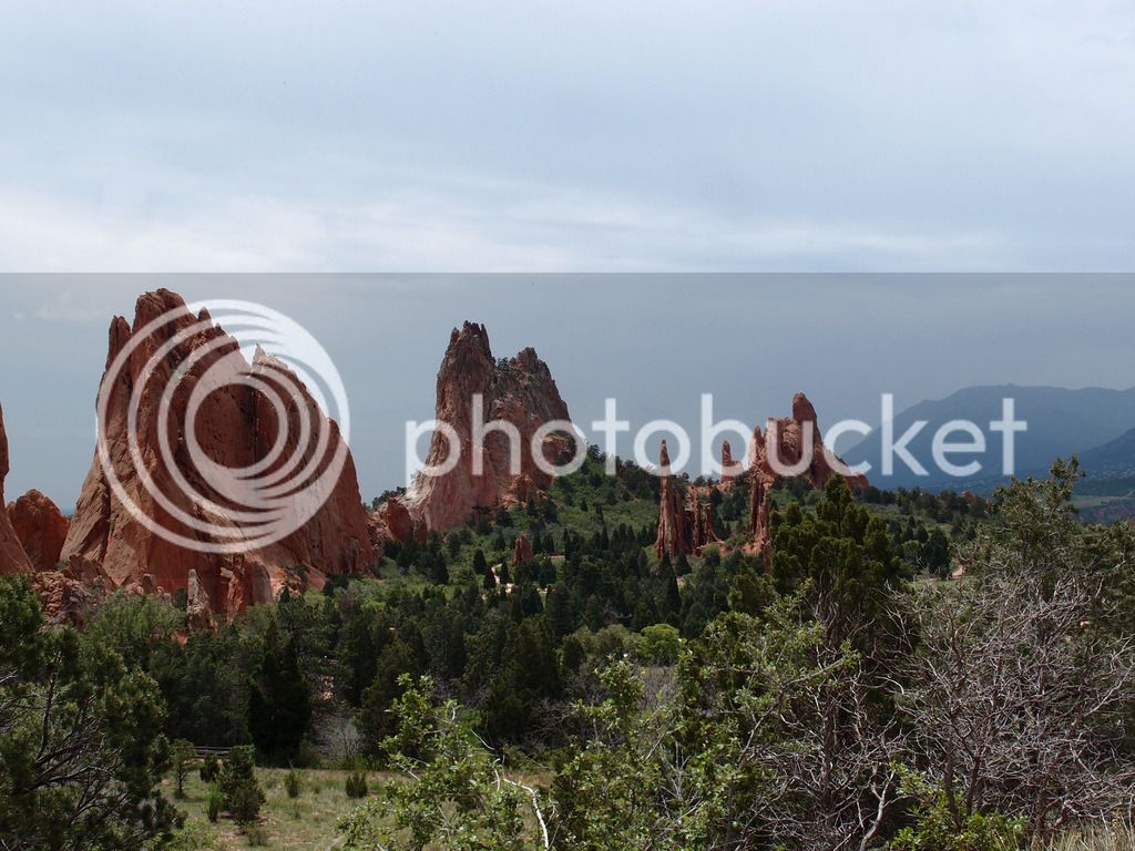
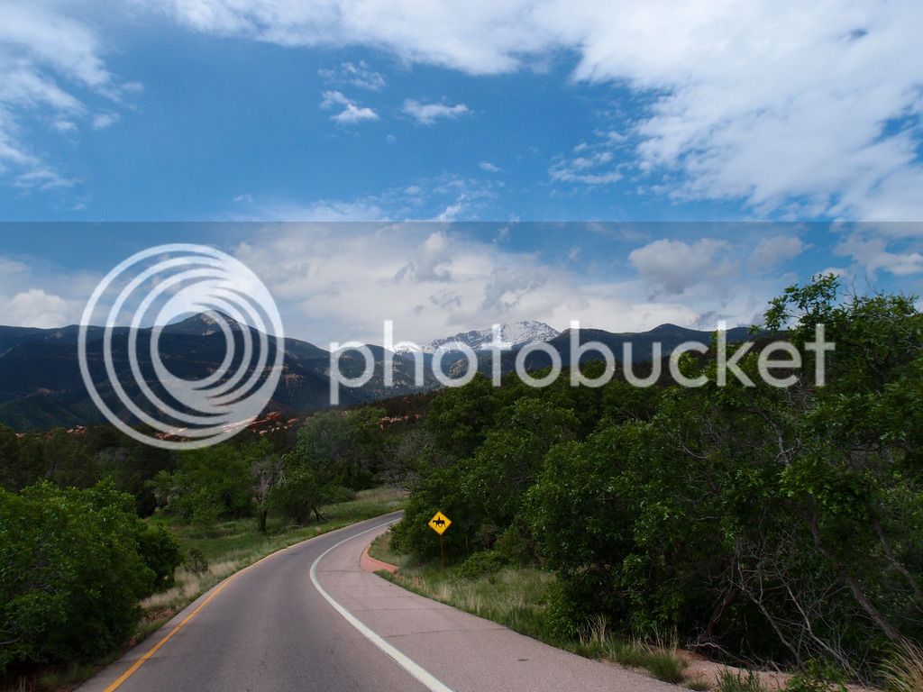
Next, we drove through Garden of the Gods and we were kind of surprised. Over 25 years ago we went there and we thought it was amazing. It was still pretty, but it made us realize how much truly spectacular scenery we had experienced this trip. In comparison it was a little boring.

P6104455_edited-1.jpg


P6104458_edited-1.jpg


The rain started again so we bailed on Cripple Creek and took it easy and went to a movie in Colorado Springs. Not very "adventure trip" of us, but it was fun.

photo%207.jpg


Thursday began the ride home. We made it to Junction City KS in 476 extremely windy miles and it got very hot and humid as we got farther east.

Heavy storms were lined up moving north just east of us as we woke up Friday. We only needed to get to Wentzville, MO where we were staying with my sister that night. We left early and punched through only about an hour of the rain avoiding the worst parts. No more rain that day and we easily made the 351 miles by early afternoon. Had a great visit and after spending the night with them, we headed on down to my other sister's who is near Tammy's mom in Southern IL. Visited with them and headed on home to Hopkinsville. 319 miles total for day 17 = 5421 total ODO miles (probably 5190 actual after ODO correction factored in).

Looking back, it was an amazing trip and we almost overloaded ourselves with scenery. If we didn't have pictures I wouldn't remember a third of it.

IMG_8622.jpg


As a follow-up, Revzilla and Rev-IT made good on the pants with no shipping costs so I am pretty happy with them and the new pair I received. I will try not to focus on my crotch in any future trip reports.

Thanks for taking the time to read this long report. I value the FJRForum and get the best advice on the internet here. I try to pay that back a little with trip reports so people who are thinking about a trip in the parts I visit can get a feel for at least what it looked like and what we experienced. Or even better, I would be thrilled if it would motivate someone to take a long trip that wouldn't have thought they could do it. Just think twice before taking your wife up Moki Dugway
rolleyes.gif


One of the best ride reports ever and an epic trip.

Well done :)

Ps - I rode with friends in southern UT last year. Utah Rocks! ;)

 
Last edited by a moderator:
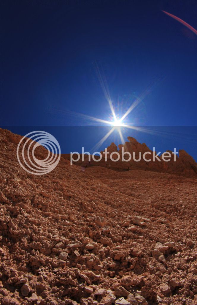
Great RR! I loved the photos, ( the one up the side of a Mesa, the the sun starburst is my favorite), but your report was even better! Really great description of your trip and emotions. I'm sure this will be a lifetime memory for you both.

Congratulations on your anniversary!

Rob

 
That was stunningly beautiful to look at. Thanks, Goodman. I did 4000 miles on my mini 18 day bucket list trip after last years EOM. It was all east of the Mississippi River but, I loved It. Planning on heading west first chance I get. Congratulations! No better way to spend your 29th anniversary.
smile.png


Last edited by a moderator:

Latest posts

Top