Riona
Well-known member
To combat the unbearable heat of a Seattle Summer (it was forecast to be over 80 degrees and sunny) a round dozen of us decided to escape the sweltering lowlands and head uphill .. to Mt Baker Ski Area and Artists Point, to be precise.
GPS said a 290 mile round trip from my house, up SR-9 (running parallel to I-5, but prettier) and then connecting to SR-542, which is the road to the mountain. To make things more interesting, I decided to see if I could eke out a single tank to cover the whole journey. Accordingly I filled up to the brim at the Shell station 4.2 miles from home and headed North.
The major rendezvous of the group was at the McDonalds in Marysville, about 40 miles North. I made it uneventfully, in cool morning air with some light mist and ground fog and met up with the Harleys, who were just fueling up. However, as we left Marysville and got to Arlington the early morning mist was burning off and the day started to warm up. When the Harleys stopped for gas at Deming, I was glad to shed a layer of clothing and switch to mesh gloves.
SR-9 was some fine riding, and provided scenic glimpses of Lake McMurry, Big Lake and Clear Lake on its way North, but the real fun starts on 542, which wends its 54 mile way up through the North Cascades, running parallel to the better known Sr-20, aka the North Cascades Highway.
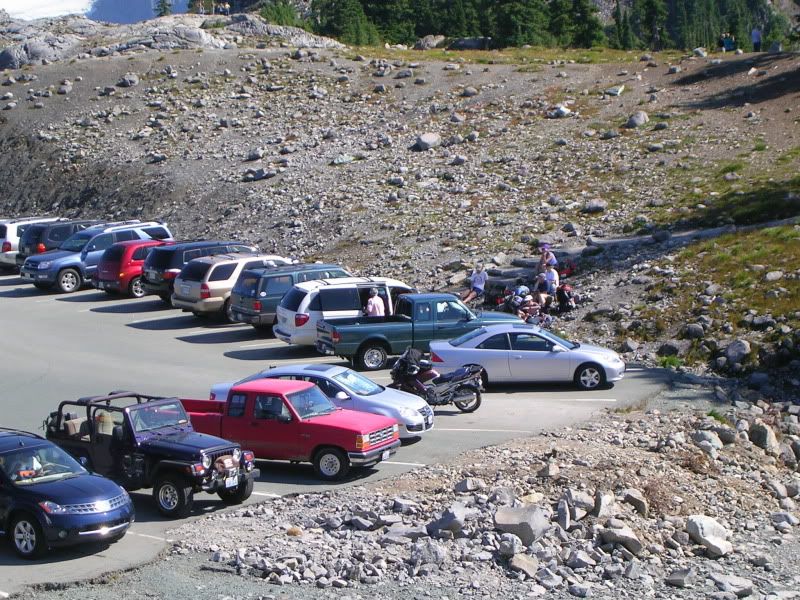
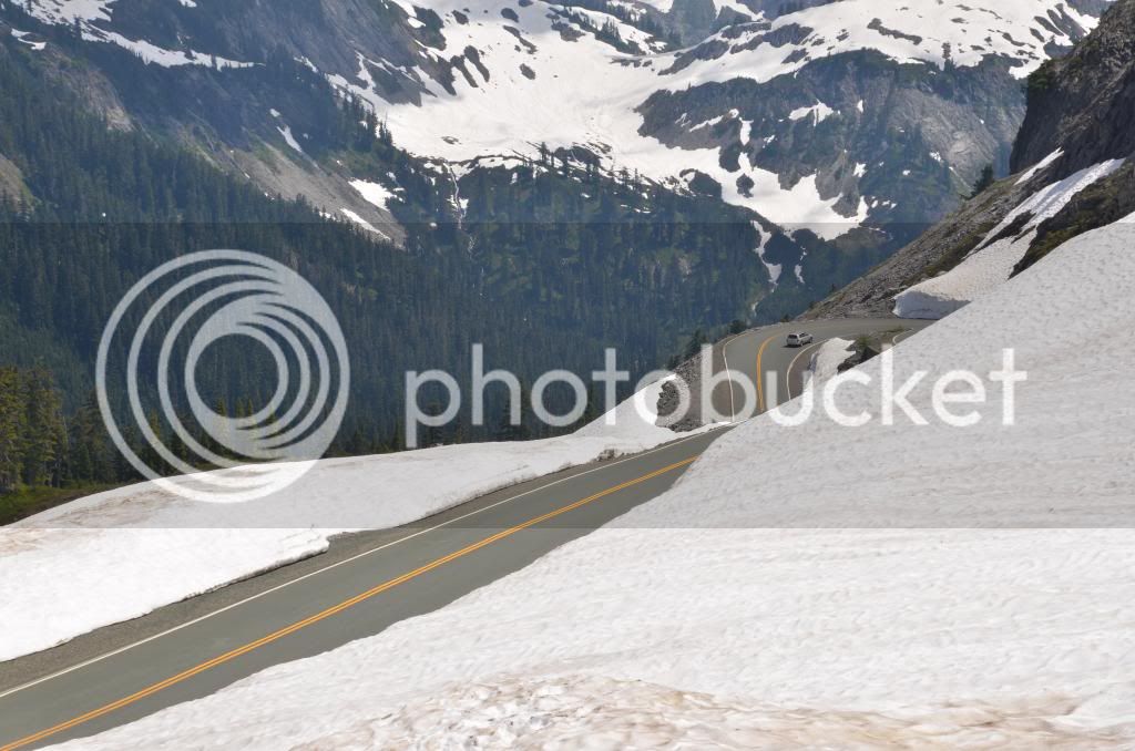
The last 10 miles or so of 542 are particularly fine - a series of 15 to 20 mph posted switch backs and hair pins that climb up to the parking lot at Artists Point - accounting for most of the 4,000 feet elevation gain.
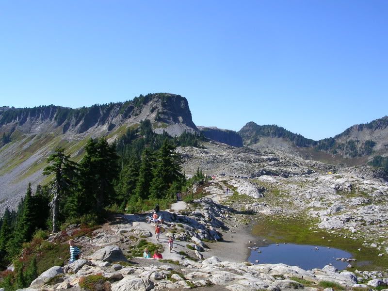
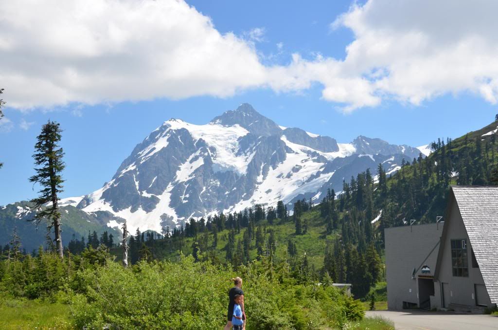
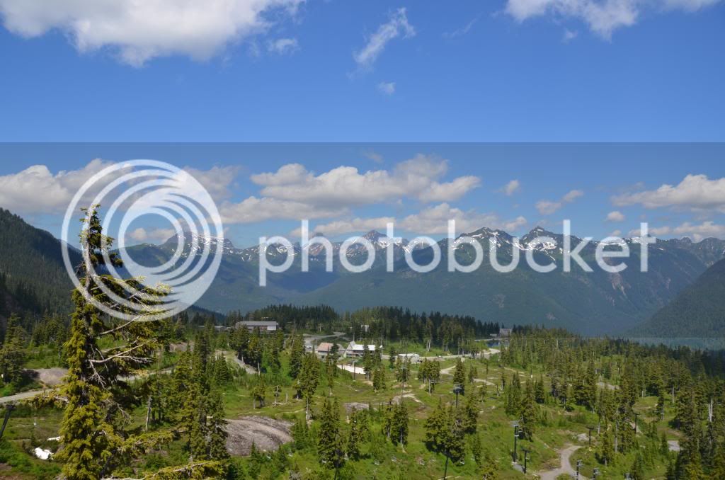
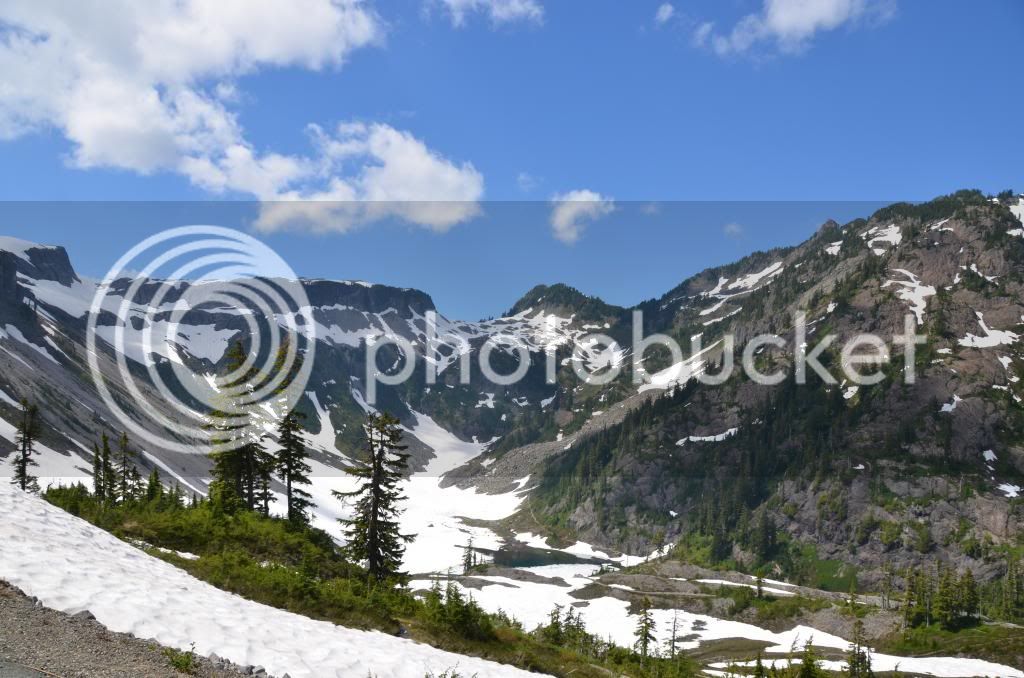
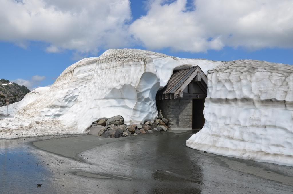
The views from the top are amazing, and I will let the pictures tell the story ...but please note in particular the restroom, still embedded in snow even on July 20th. Obviously a sister to the one on the crest of Chinook Pass ...
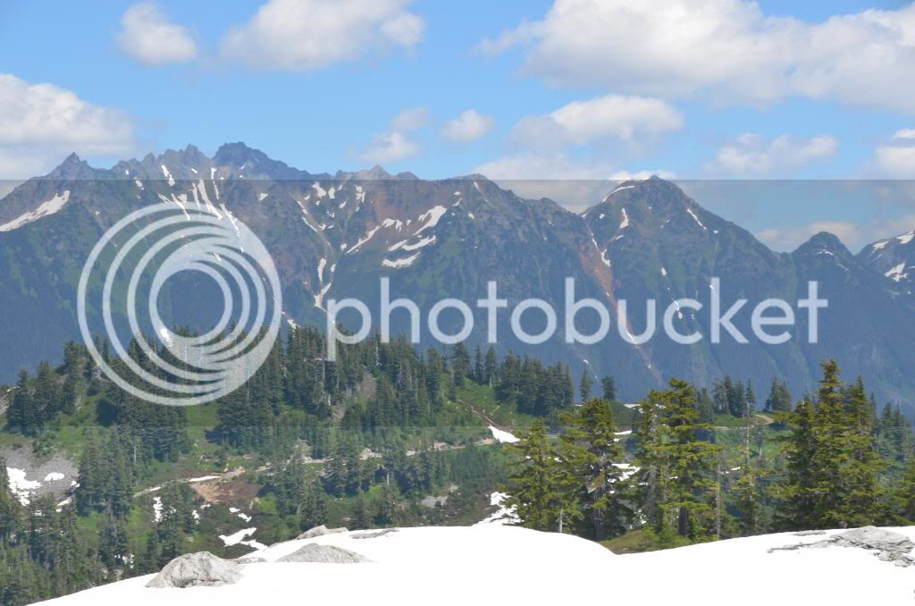
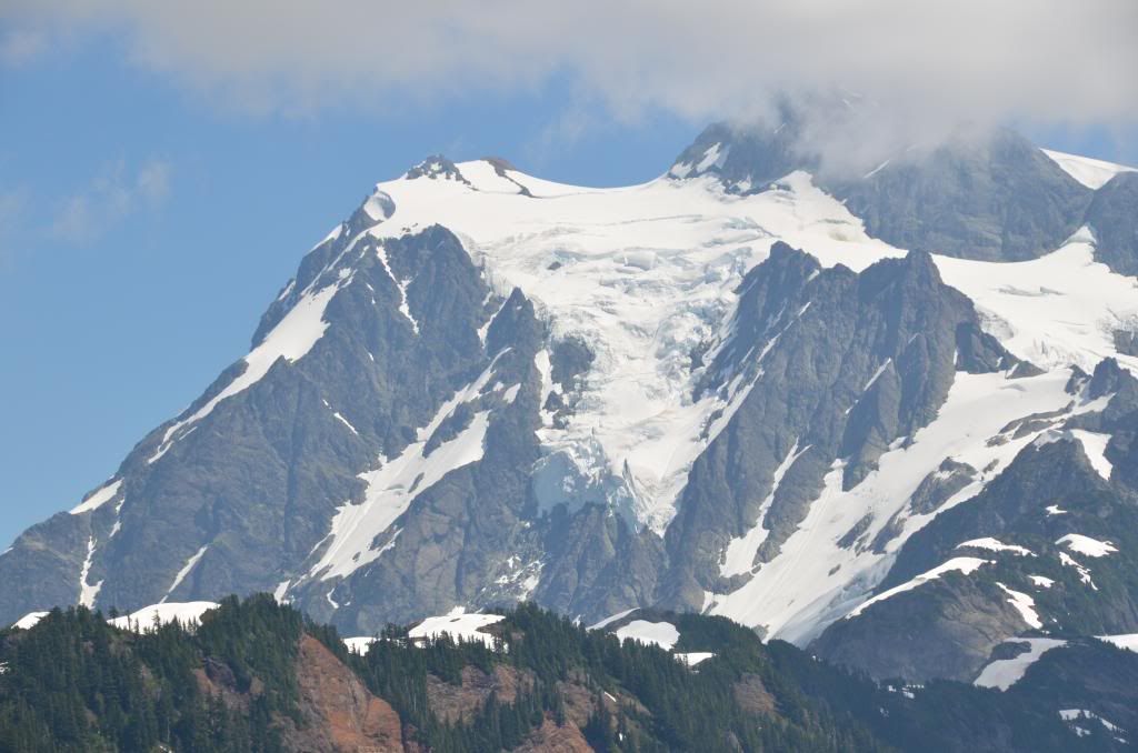
What you will see in the following pictures is the panoramic view of Mt. Baker, Mt. Shuksan, Coleman Pinnacle and the Ptarmigan Ridge .. all in the blissful coolness of a sunny day above the snow line. I can just imagine the conversations parents were having with their children:
"Its hot today, shall we go to the pool again ?"
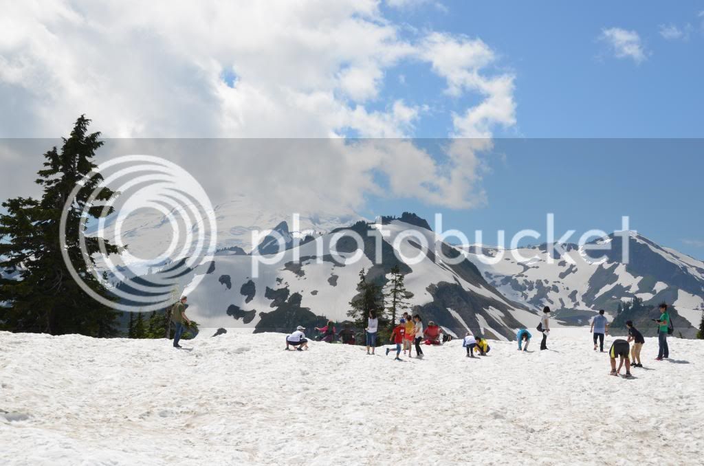
"No, bored with that, can we go sledding instead?"
The return was a descent into tropical hell - the bike temperature was showing 82 as we hit the valley again, and so the Harleys pulled into a convenient hostelry ("Chair 9" bar and grill) to have a late lunch and allow the day to cool off before proceeding to the next gas station. Thankfully the humidity wasn't too high.
After eating and refueling I made my way home, arriving back chez moi with the reserve indicator showing 40 miles since hitting reserve.
A very well spent day .. and to prove that it happened, here are the pictures:
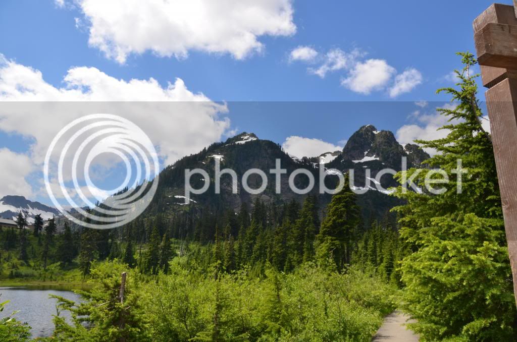
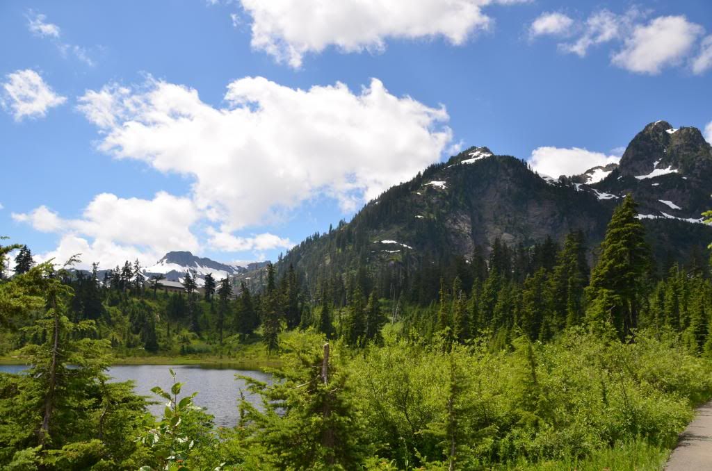
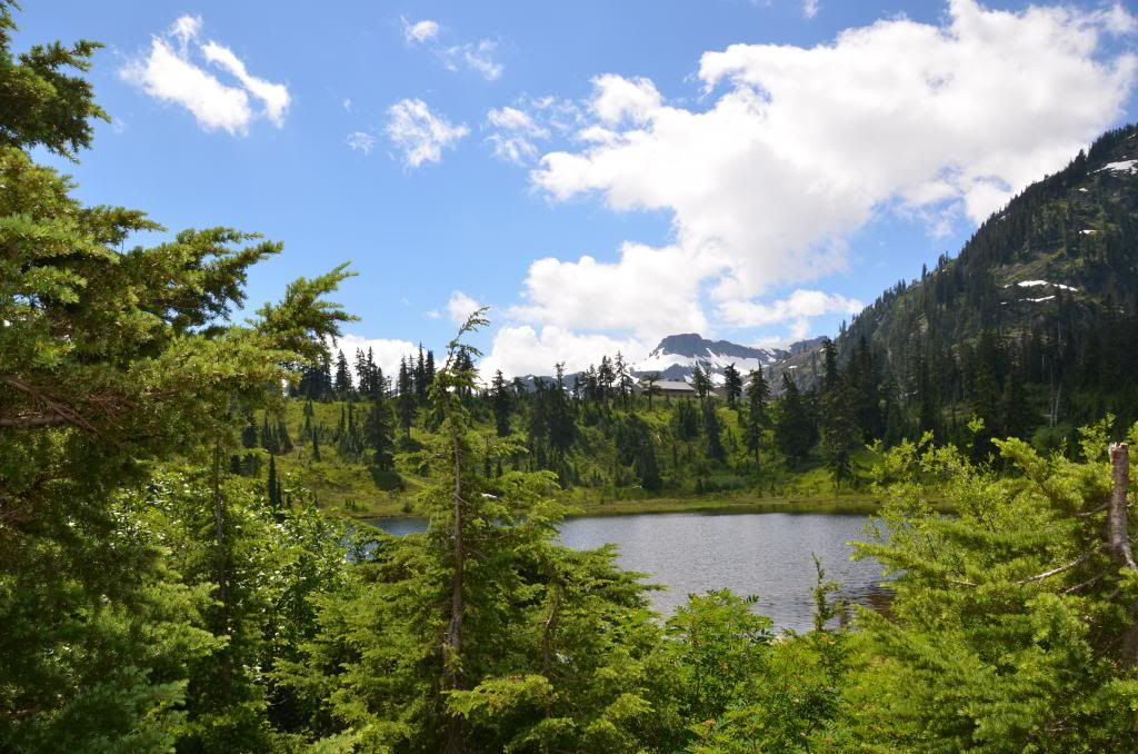
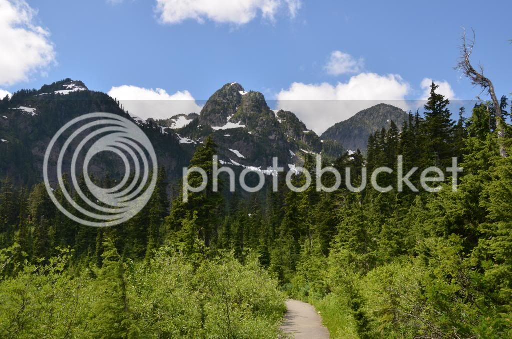
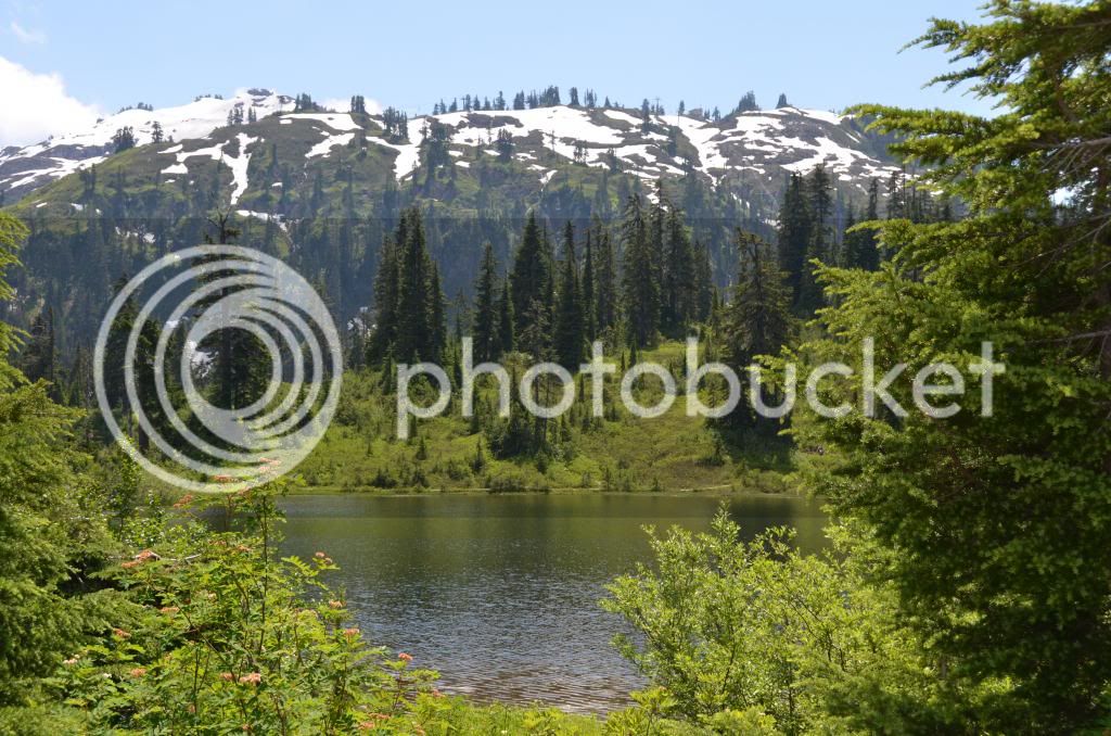
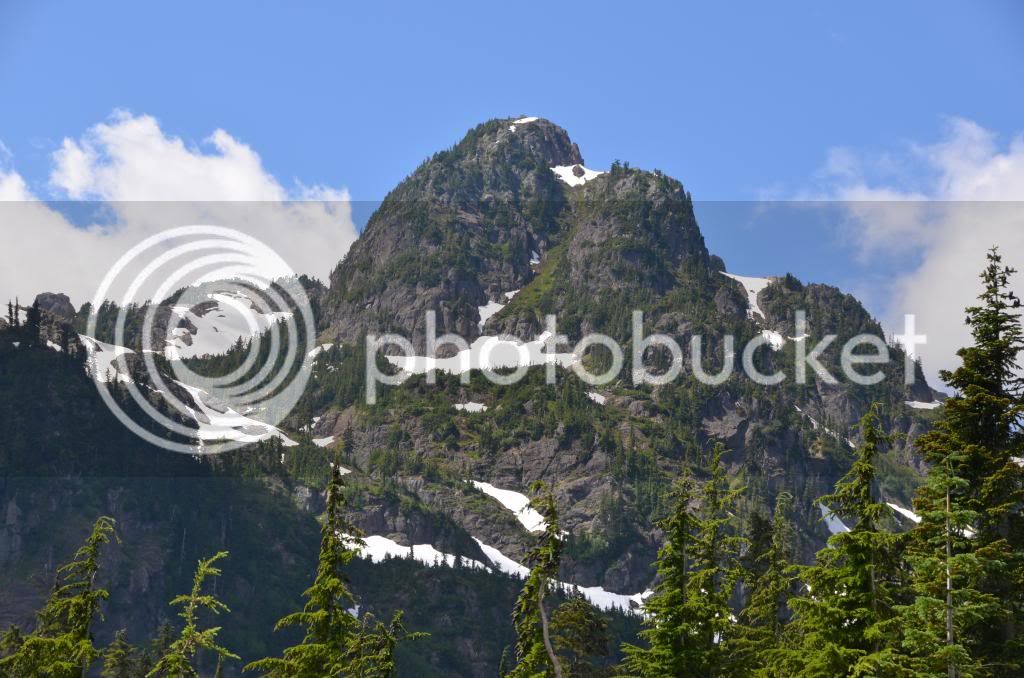
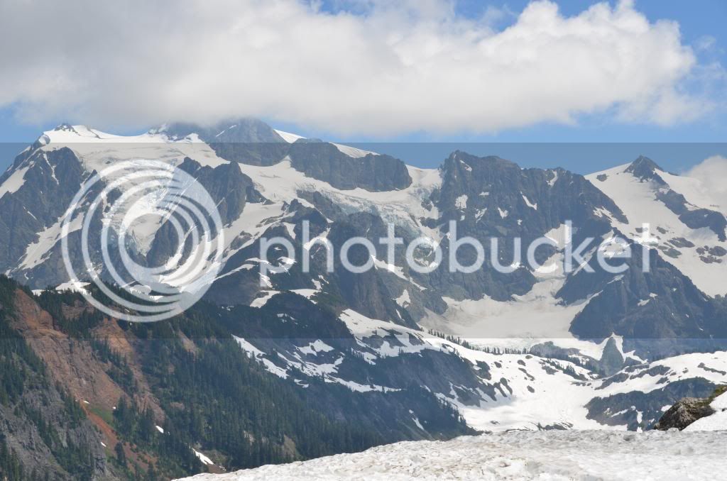
Mom, can we go have a snow ball fight, we're so bored with the pool ... (with Mt Baker behind the cloud)
And not forgetting the outhouse ...
GPS said a 290 mile round trip from my house, up SR-9 (running parallel to I-5, but prettier) and then connecting to SR-542, which is the road to the mountain. To make things more interesting, I decided to see if I could eke out a single tank to cover the whole journey. Accordingly I filled up to the brim at the Shell station 4.2 miles from home and headed North.
The major rendezvous of the group was at the McDonalds in Marysville, about 40 miles North. I made it uneventfully, in cool morning air with some light mist and ground fog and met up with the Harleys, who were just fueling up. However, as we left Marysville and got to Arlington the early morning mist was burning off and the day started to warm up. When the Harleys stopped for gas at Deming, I was glad to shed a layer of clothing and switch to mesh gloves.
SR-9 was some fine riding, and provided scenic glimpses of Lake McMurry, Big Lake and Clear Lake on its way North, but the real fun starts on 542, which wends its 54 mile way up through the North Cascades, running parallel to the better known Sr-20, aka the North Cascades Highway.
The last 10 miles or so of 542 are particularly fine - a series of 15 to 20 mph posted switch backs and hair pins that climb up to the parking lot at Artists Point - accounting for most of the 4,000 feet elevation gain.
The views from the top are amazing, and I will let the pictures tell the story ...but please note in particular the restroom, still embedded in snow even on July 20th. Obviously a sister to the one on the crest of Chinook Pass ...
What you will see in the following pictures is the panoramic view of Mt. Baker, Mt. Shuksan, Coleman Pinnacle and the Ptarmigan Ridge .. all in the blissful coolness of a sunny day above the snow line. I can just imagine the conversations parents were having with their children:
"Its hot today, shall we go to the pool again ?"
"No, bored with that, can we go sledding instead?"
The return was a descent into tropical hell - the bike temperature was showing 82 as we hit the valley again, and so the Harleys pulled into a convenient hostelry ("Chair 9" bar and grill) to have a late lunch and allow the day to cool off before proceeding to the next gas station. Thankfully the humidity wasn't too high.
After eating and refueling I made my way home, arriving back chez moi with the reserve indicator showing 40 miles since hitting reserve.
A very well spent day .. and to prove that it happened, here are the pictures:


Mom, can we go have a snow ball fight, we're so bored with the pool ... (with Mt Baker behind the cloud)

And not forgetting the outhouse ...


