Fontanaman
Robin Trower
Today I rode the FJR about 270 miles in 6.5 hours. I choose a route south of Spokane through the Palouse wheat fields then on to some of the channeled scablands scoured out from the Ice Age Floods 15-20000 years ago.
It was about 45 degrees when I left at 10:00am and I was happy to have my old Gerbing heated jacket. I zipped down Hwy 195 south of Spokane noticing the recently planted wheat is coming in. Hopefully enough rain will fall to end the drought to get the winter wheat the start it needs to survive winter. This year wheat production was down about 50% from 2020.
One of the highlights of this ride is State Hwy 194 to Almota along the Snake River. Here are a few photos.
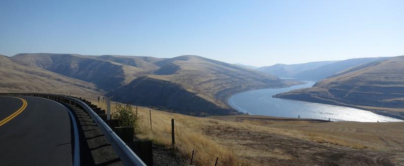
A hairpin turn with a few trees aka fall foliage.
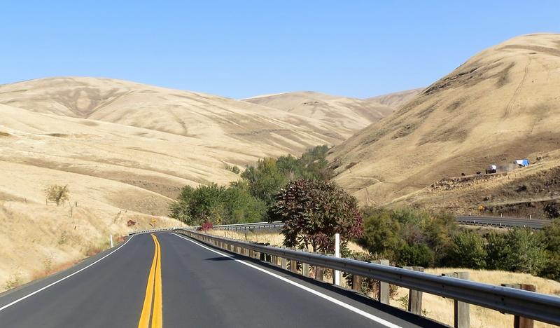
For once I stopped at the Lower Granite Dam visitor center to see a few fish in the fish ladder view window. I also talked to the guy who counts fish. JSNS.
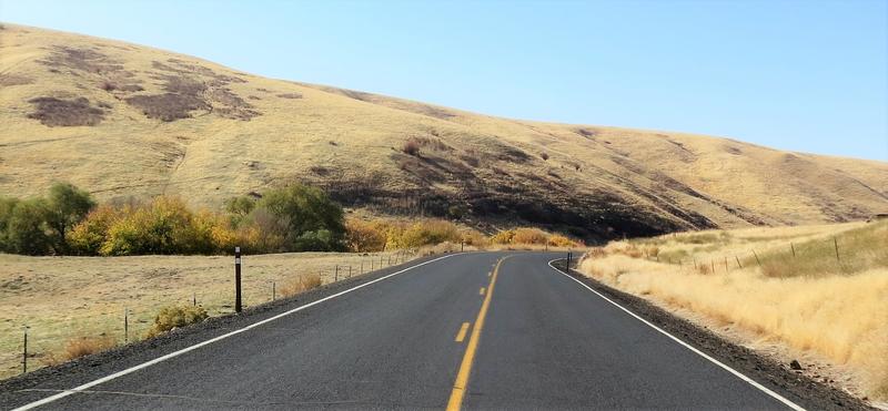
On the south side of the Snake River (aka Snake Lake) there are some nice county roads. They look like this:
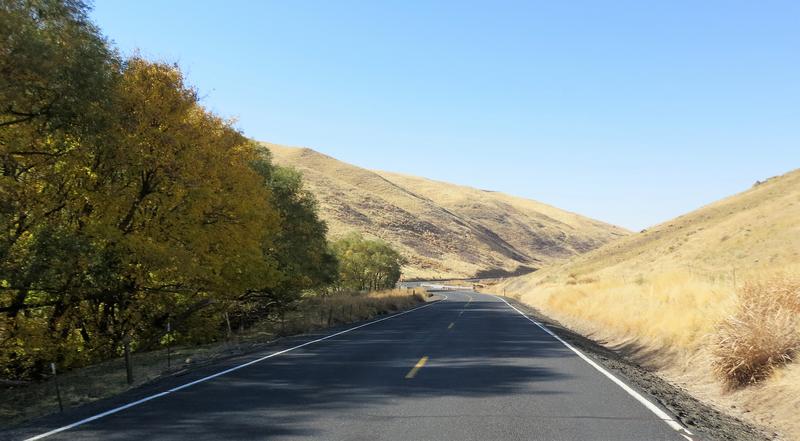
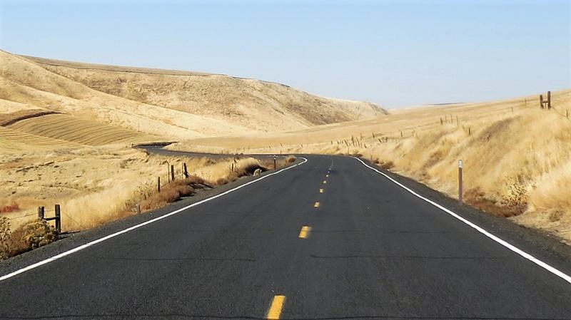
I took a detour from my planned route into the town of Pomeroy Washington in search of lunch. Not much was found as Pomeroy is a dying town with the majority of stores in the downtown core shuttered. Sad indeed.
Back on route my next destination was Hwy 261 a favorite as it features 15 miles of twisty pavement with a a decent elevation increase and it crosses a coulee.
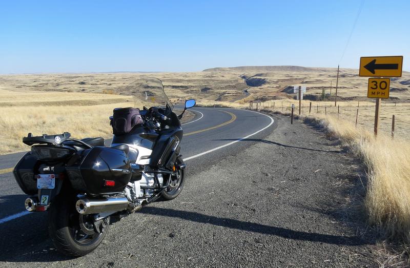
Near Palouse Falls above a Coulee. The road drops down into the Coulee and continues up on between the FJR and the yellow sign.
Here are a few photos of scablands in Eastern Washington.
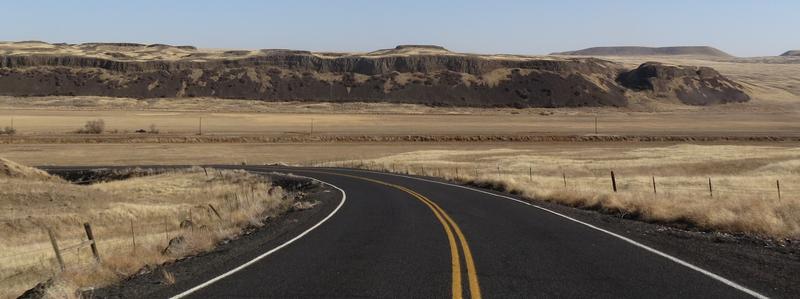
A coulee.
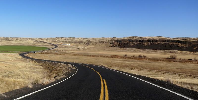
I like the lack of traffic out here.
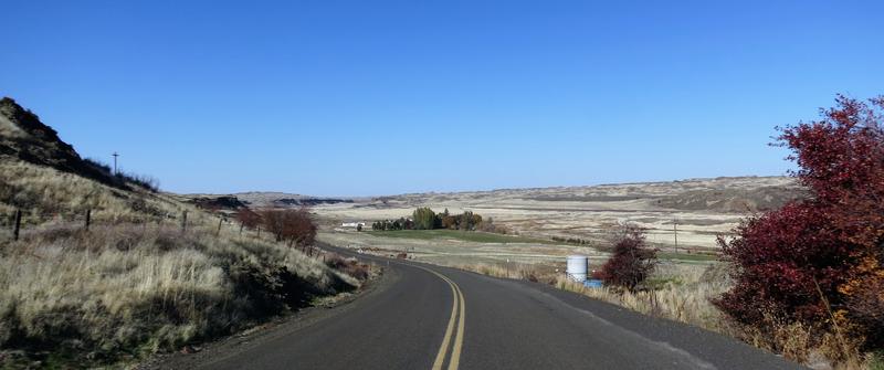
A roller coaster. It is blurry because it is extremely cropped.
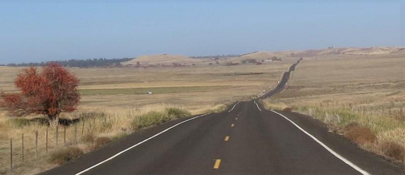
To finish up this post here is some fall colors.
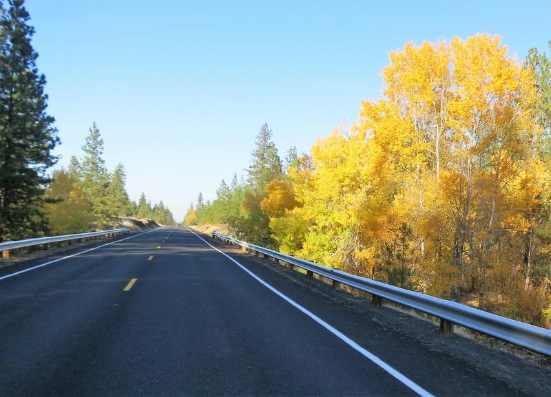
It was a great day to be on the FJR.
It was about 45 degrees when I left at 10:00am and I was happy to have my old Gerbing heated jacket. I zipped down Hwy 195 south of Spokane noticing the recently planted wheat is coming in. Hopefully enough rain will fall to end the drought to get the winter wheat the start it needs to survive winter. This year wheat production was down about 50% from 2020.
One of the highlights of this ride is State Hwy 194 to Almota along the Snake River. Here are a few photos.

A hairpin turn with a few trees aka fall foliage.

For once I stopped at the Lower Granite Dam visitor center to see a few fish in the fish ladder view window. I also talked to the guy who counts fish. JSNS.
On the south side of the Snake River (aka Snake Lake) there are some nice county roads. They look like this:


I took a detour from my planned route into the town of Pomeroy Washington in search of lunch. Not much was found as Pomeroy is a dying town with the majority of stores in the downtown core shuttered. Sad indeed.
Back on route my next destination was Hwy 261 a favorite as it features 15 miles of twisty pavement with a a decent elevation increase and it crosses a coulee.
Near Palouse Falls above a Coulee. The road drops down into the Coulee and continues up on between the FJR and the yellow sign.

Here are a few photos of scablands in Eastern Washington.

A coulee.

I like the lack of traffic out here.

A roller coaster. It is blurry because it is extremely cropped.

To finish up this post here is some fall colors.

It was a great day to be on the FJR.
Last edited:


