Searching for M,OM

Yamaha FJR Motorcycle Forum

Help Support Yamaha FJR Motorcycle Forum:

This site may earn a commission from merchant affiliate links, including eBay, Amazon, and others.
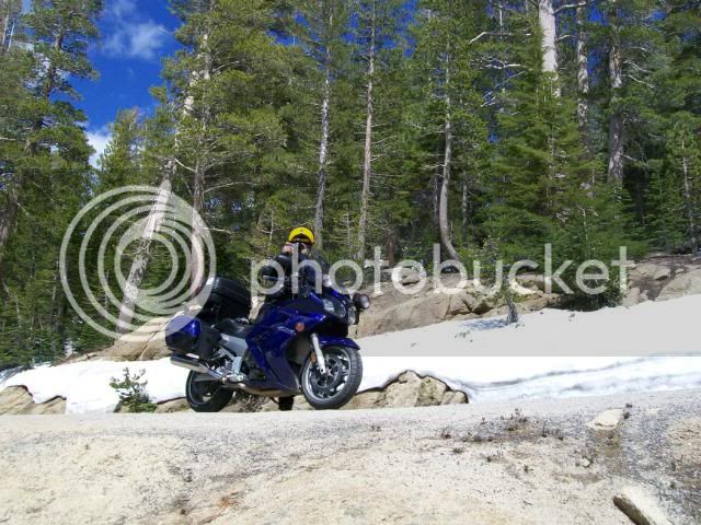
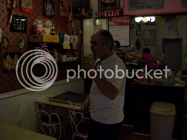
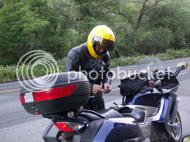
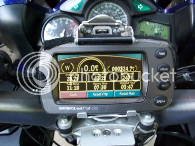
Thanks, Roger. We're just getting to the "adventurous" part..... :dribble:

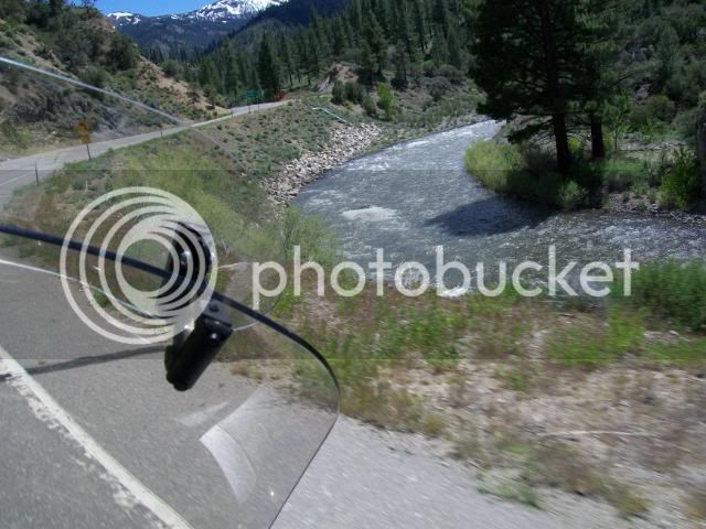
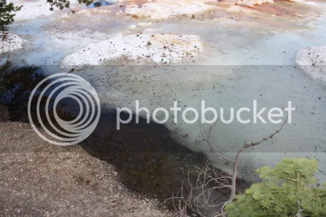
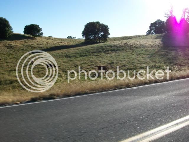
At Whitehall we took some photos of the local flora and fauna.

[SIZE=8pt]Assuming you can see the mother and two cubs on the rocks by the river.[/SIZE]

MarkleevilleviaSouthForkRd6-12-1-7.jpg


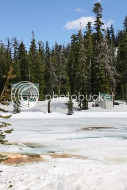
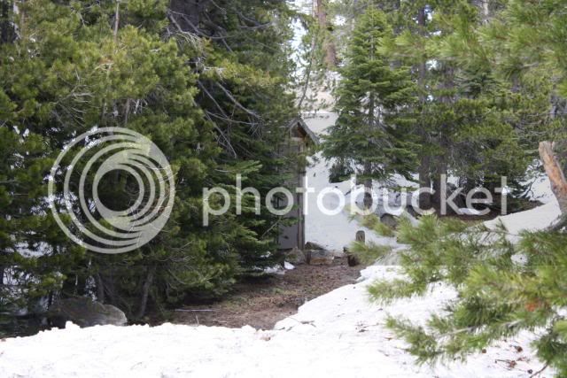
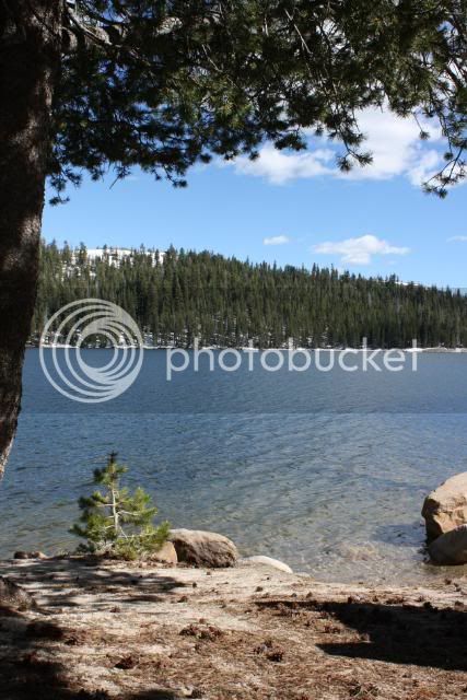
Nice little Summer cabin...

MarkleevilleviaSouthForkRd6-12-1-6.jpg


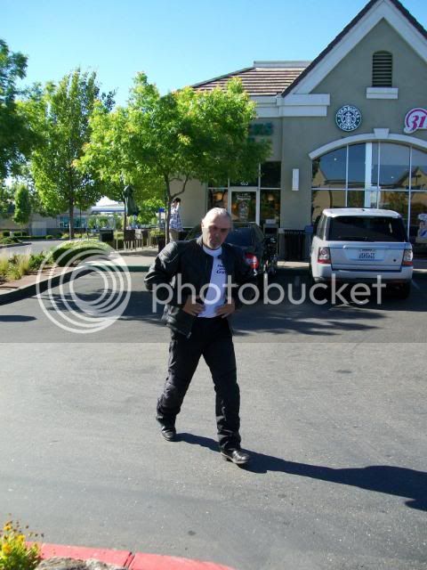
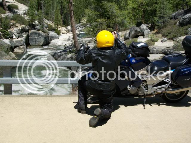
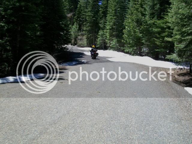
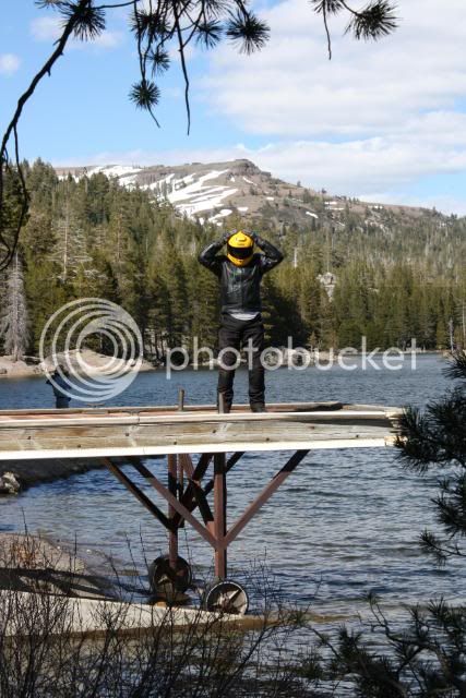
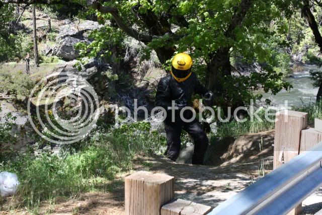
The Semi-infamous Hwy 50 Yellow Crested Sasquatch.

MarkleevilleviaSouthForkRd6-12-1-5.jpg


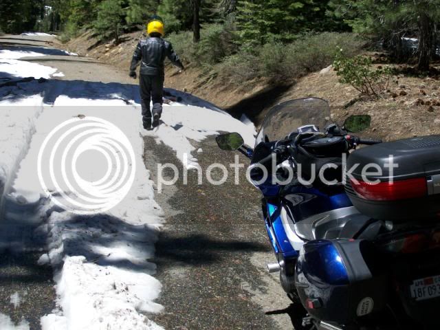
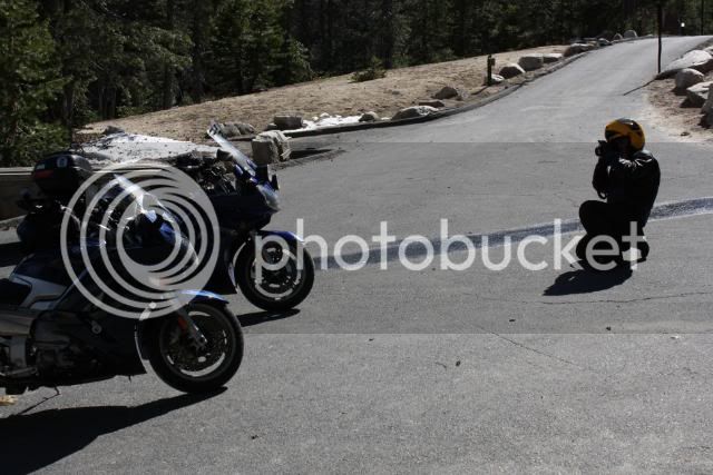
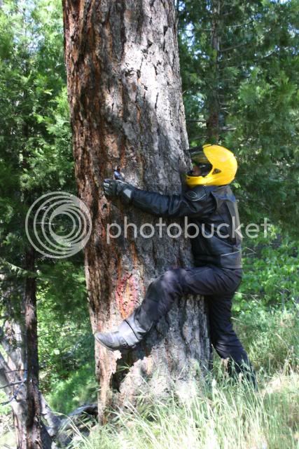
Men in Trees????? :dntknw:

MarkleevilleviaSouthForkRd6-12-1000.jpg


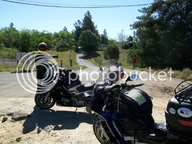
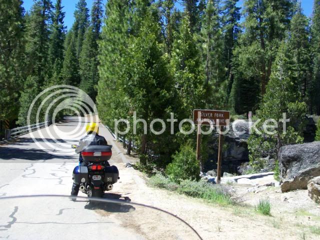
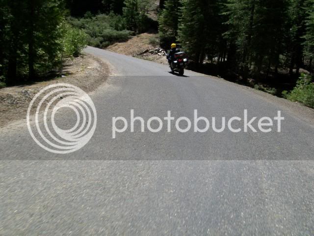
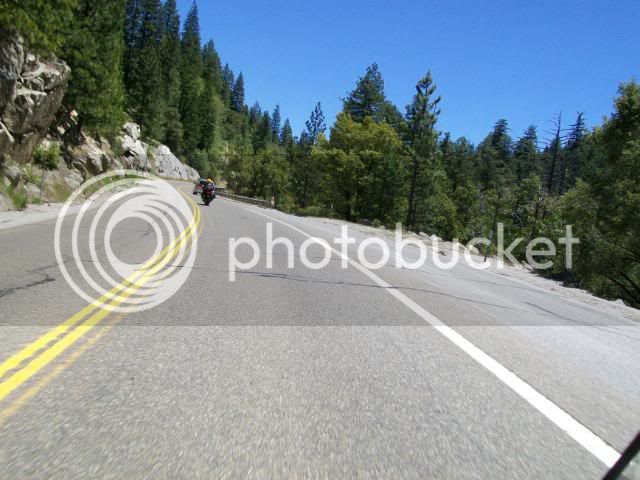
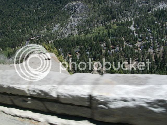
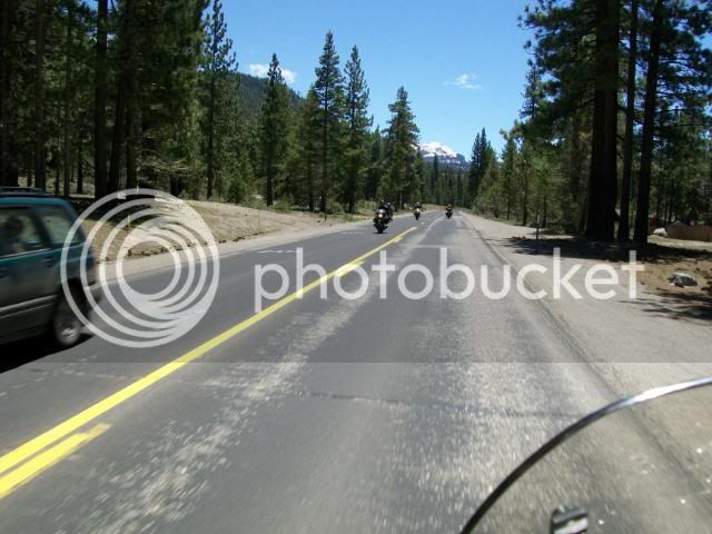
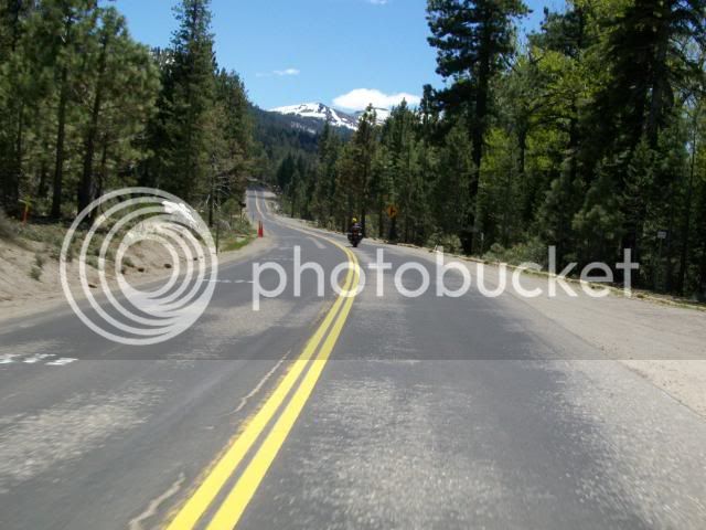
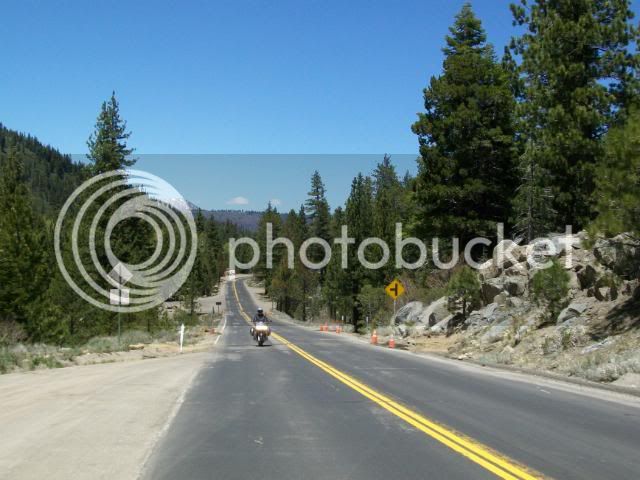
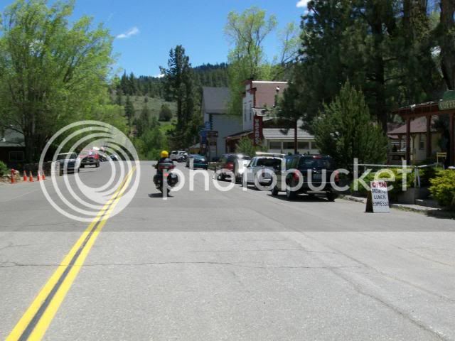
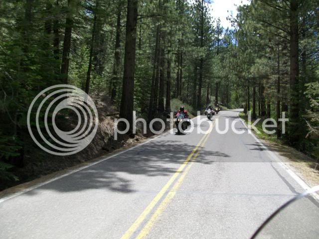
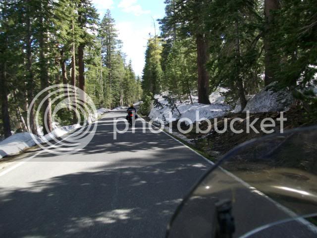
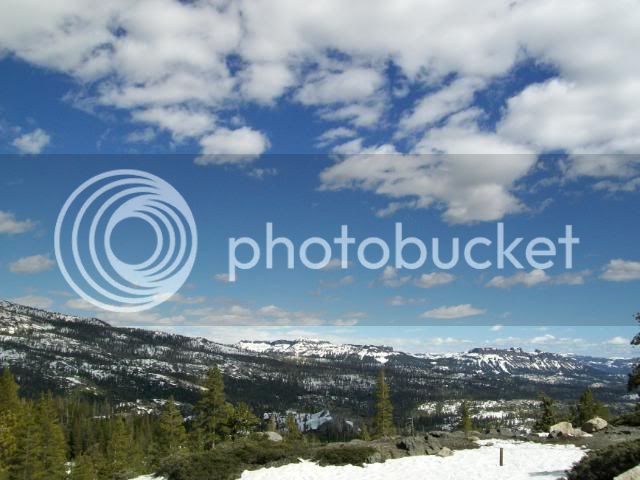
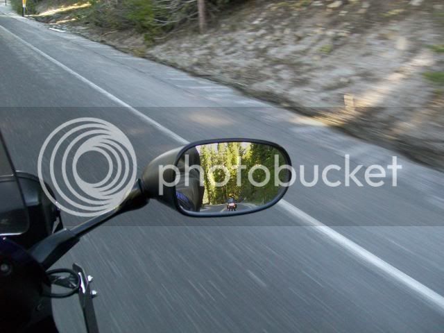
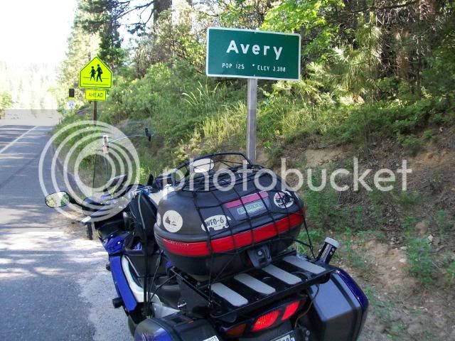
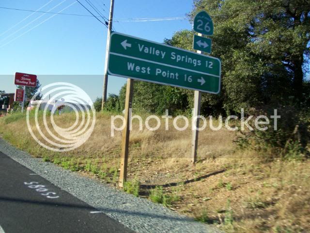
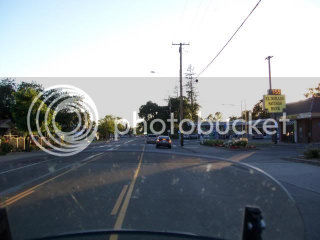
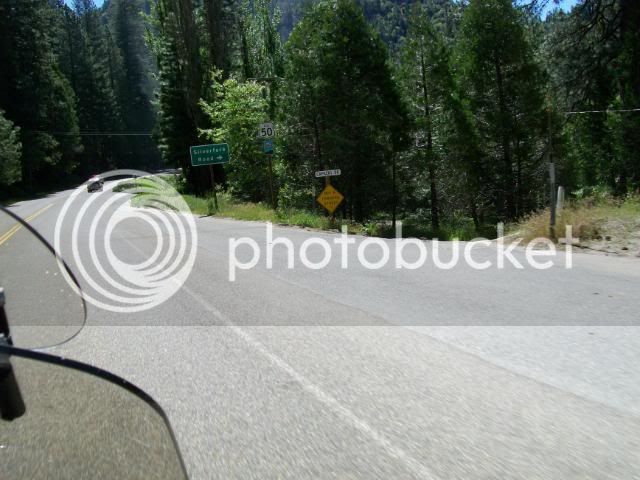
On to Kyburz and our chosen "road to adventure".

MarkleevilleviaSouthForkRd6-12-1-4.jpg


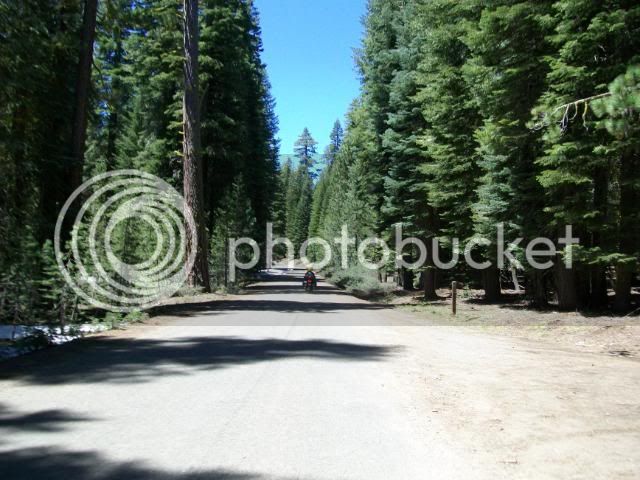
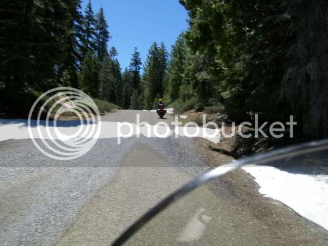
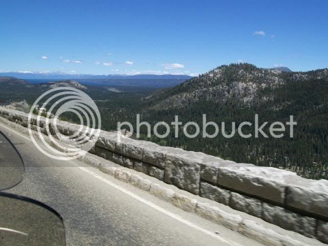
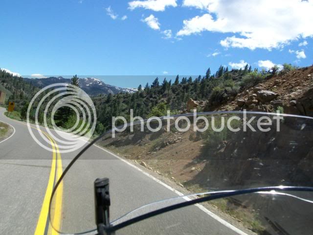
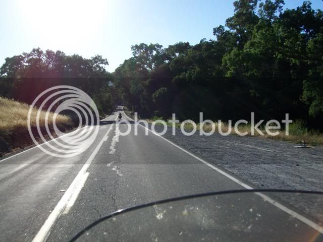
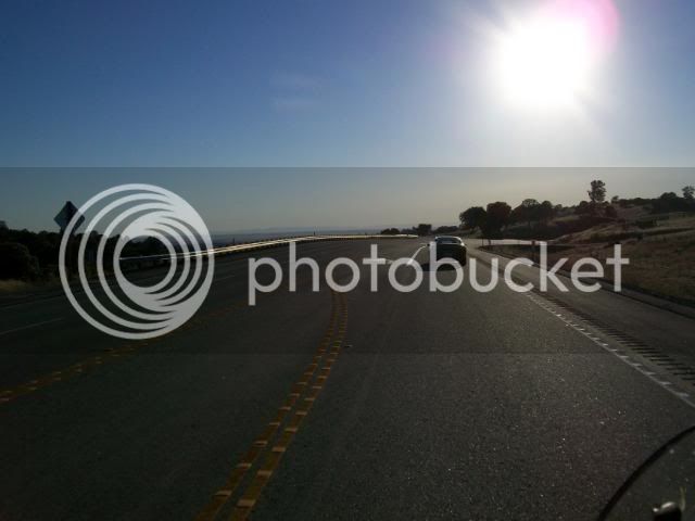
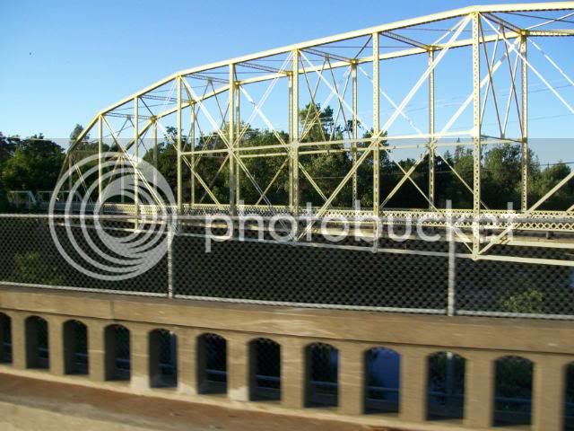
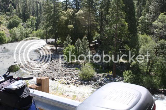
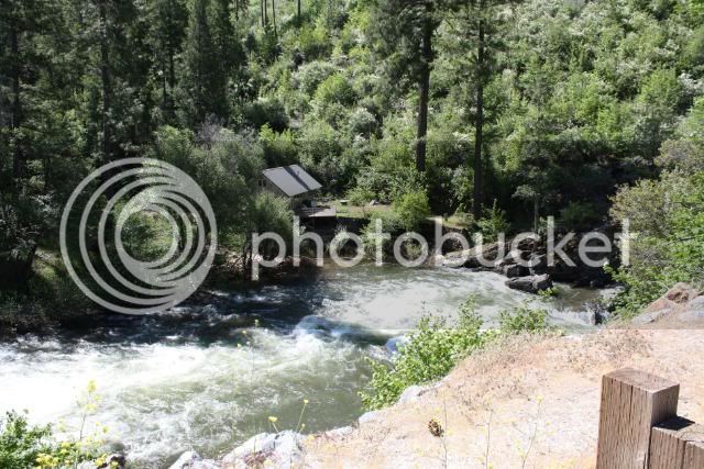
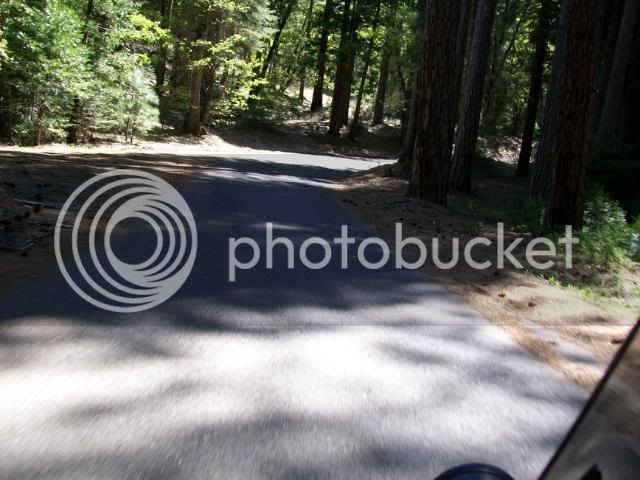
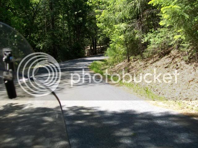
Silverfork Rd. runs along the Silver Fork of the American River and connects Hwy 50 to Mormon Emmigrant Trail 4 miles below Hwy 88. It's a lovely, though narrow, road that passes two campgrounds.

MarkleevilleviaSouthForkRd6-12-1-2.jpg


MarkleevilleviaSouthForkRd6-12-1-3.jpg


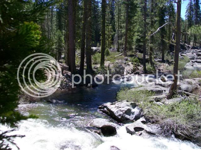
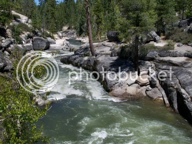
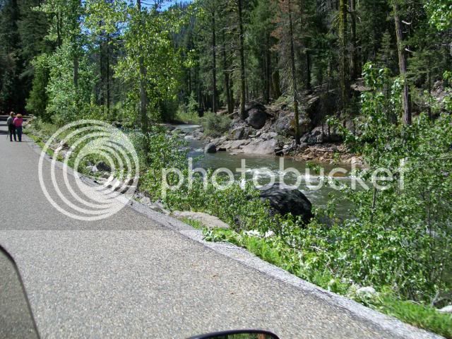
The river and a couple of camper/hikers.

MarkleevilleviaSouthForkRd6-12-1009.jpg


Welcome Center at Silverfork Campground.

MarkleevilleviaSouthForkRd6-12-1010.jpg


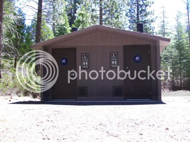
At least WE were glad to be welcomed......

More to follow later.

 
Last edited by a moderator:
Nice! Mike, what time did you have to get up to ride with OM?
Rich....we met at Eldorado Hills @ 0800.

I know...I know....a late start for him and (since you and I have left earlier) for me. I was hoping Sam could join us at that hour.

I see that I need to scout a road -- whatever one it was that you took from the Plymouth area to Sly Park Reservoir. Don't think I know about that -- need to pull a map out now.
If one rides/drives from Hwy 50 on Sly Park Rd. and continues past Mormon Emmigrant Trail....that's the road. It changes names to Mt. Aukum Rd. in Newton through Sommerset to Cyoteville where it changes to Shenandoah Rd.

When coming from Plymouth (At Mel & Marlene's Diner) stay left rather than heading right to Fiddletown, the road is continuous to Sly Park Reservoir and around to Hwy 50.

It's a "way cool" ride through the foothill farm country and connects to Hwy 50 via Pleasant Vally Rd. from Diamond Springs (also Snow's Rd. from Camino to Pleasant Valley road) at Sommerset.
There are a ton of great roads in that vicinity... Rich, if you're interested, PM me your email addy and I'll send you a few routes I've put together over the years! B)

 
MarkleevilleviaSouthForkRd6-12-1004.jpg


No Sam. Just this dapper rider and myself.

Mike, you've used a word I'm apparently not familiar with, at least in this context. My dictionary shows the definition to be "very neat and trim in appearance", or secondarily, "alert and lively in movement and manners." The consensus is, Forum wide, that you are clearly not using the word in either of these definitions. My dictionary is a small one and probably doesn't contain some of the older etymologies that perhaps are more suitable for this picture. Or maybe you just forgot to put quote marks around the word to show us that we should take it in a tongue-in-cheek context.

PS - Loved the pictures. Thanks.

 
Hope he didn't get any splinters... :blink:
Yeah, right!

More like "Come on tree!"
You sure you weren't barking up the wrong tree? :D :lol:
Please note I didn't say anything relating OM and "wood"..... :eek:

No Sam. Just this dapper rider and myself.
Mike, you've used a word I'm apparently not familiar with, at least in this context. My dictionary shows the definition to be "very neat and trim in appearance", or secondarily, "alert and lively in movement and manners." The consensus is, Forum wide, that you are clearly not using the word in either of these definitions.
Uhm...consensus? When have ever concerned myself with "consensus" of any group?

I believe I will stay within the broad theory that "Beauty is in the eye of the beholder"...and.."It's art because I SAY it's art".

Does that mean Old Michael is "Art"? Nope, he's still Michael.

Is he beautiful? Ask his mother.

Since, existentially speaking, I am in charge of my own universe and perceptions, I have decided (as god of my "world") that Michael IS dapper and a consummate gentleman. And he's a great riding/exploring/adventuring partner, which you'll see in the next posting of photos.

 
Last edited by a moderator:
Now, for the really fun and interesting part of our "journey".

After leaving the campground we again headed South on Silverfork Rd. We came to the river crossing and stopped to take some pictures.

MarkleevilleviaSouthForkRd6-12-1-32.jpg


Looking upstream toward Kirkwood (3 1/2 miles southeast).

MarkleevilleviaSouthForkRd6-12-1-31.jpg


Looking downstream.

MarkleevilleviaSouthForkRd6-12-1-29.jpg


Someone praying the HIS photos turn out....

[SIZE=8pt](Who knew???? Do you suppose it's an "Irish" thing?)[/SIZE]

MarkleevilleviaSouthForkRd6-12-1-25.jpg


Old Michael leading uphill toward Mormon Emigrant Trail.

MarkleevilleviaSouthForkRd6-12-1-28.jpg


Really pretty country! It's very serene and the road isn't pot-holed, etc.

MarkleevilleviaSouthForkRd6-12-1-27.jpg


Uh-oh...bad omen!

MarkleevilleviaSouthForkRd6-12-1-26.jpg


Oh-no...more bad omen!

MarkleevilleviaSouthForkRd6-12-1-33.jpg


Hmmmm...maybe we should stop and think about this.

MarkleevilleviaSouthForkRd6-12-1-34.jpg


Actually, we got my bike through by riding un the left and crossing at the most narrow point. Unfotunately, Old Michael got quite pelted when my rear tire spun in the snow and ice. Sorry, Michael!

I rode up the road past the snow you can see at the crest and around the bend the road is covered for some distance...and about my knee height. I didn't take a picture, I simply turned about and headed back down to where OM is standing.

We then backtracked 8-10 miles back to Hwy 50 and headed over Meyers to hwy 89 south.

 
Eastbound on Hwy 50.

MarkleevilleviaSouthForkRd6-12-1011.jpg


There are no pictures of me convincing 2 black pickups that we should ALL pass in a passing lane. Therefore...the Bart Simpson Defense applies...it didn't happen!

Over the summit and looking at Lake Tahoe. The bare area between the two foreground peaks is the Tahoe Airport.

MarkleevilleviaSouthForkRd6-12-1-35.jpg


Hwy 89 is down there....

MarkleevilleviaSouthForkRd6-12-1-36.jpg


A group of bikes coming north on Hwy 89.

MarkleevilleviaSouthForkRd6-12-1-37.jpg


OM leading the way.

MarkleevilleviaSouthForkRd6-12-1-38.jpg


When we were coming down Silverfork Road there was a Cerulean FJR headed uphill. We stopped and I told him (shouting in my helmet) that the road was closed. He followed us out and is behind on on Hwy 89. Jim from Carson City:

MarkleevilleviaSouthForkRd6-12-1012.jpg


Michael has already posted the photo of the CHP passing us on Hwy 88. We ALL breathed a sigh of relief...though we had been riding at 60 mph. One never knows!

Beautiful downtown Markleeville.

MarkleevilleviaSouthForkRd6-12-1-39.jpg


Someone dropped their camera and watched it bounce and tumble on Main Street.

After going back and picking up the batteries and memory card, carefully installing them and crossing my fingers, toes and eyes.....it still works!

Our lunch stop:

MarkleevilleviaSouthForkRd6-12-1-40.jpg


The Unknown Diner finishing his hot pastrami sandwich.

MarkleevilleviaSouthForkRd6-12-1-41.jpg


Next installment: Hwy 89 to Hwy 4, Ebbetts Pass.

 
Last edited by a moderator:
Groovy pictures, Puppy and Mikey!

You guys have this Ride Report thing down, don't ya.

I'd looked at my pics quickly, and then went to puppychow's report, and laughed seeing all the shots taken at the same spots.

Man, it was beautiful up there, huh?

And the best part (other than enjoying the company of MadMike ;) ) was the cool, crisp, fresh air.

It's been a bit hot and muggy down in the valley this week, and heading up the hill is like turning on an AC switch.

Sorry we didn't get to ride those roads with you, Sam. (You coulda helped dig snow and push Mike throught the drift. :D )

Uploading some photos now, and I'll get 'em posted shortly.

 
You really captivated my interest when you posted the picture of the Markleeville sandwich, best anywhere, but especially after a few hundred miles of twisties. Hope you got the obligatory ice cream cone afterwards. I'm thinking the pic of OM humping the tree should be posted up for best caption. Here's a few that come to mind: Woodpecker, Old Stickler, P envy, Wood you be mine?, Yellow crested leather backed bark beetle.
MarkleevilleviaSouthForkRd6-12-1000.jpg
I could go on and on, but admins would probably pull my posting privileges. Nice views guys, thanks for posting up.

 
Last edited by a moderator:
I'd looked at my pics quickly, and then went to puppychow's report, and laughed seeing all the shots taken at the same spots.
I had the exact reaction...chortling all the way. And to think he was about an hour ahead of us....I wonder if he also got gas at Bear Resort?

Okay, then.....after a nice lunch at The Deli, we headed North on Hwy 89 to Hwy 4 over Ebbetts Pass.

Hwy 89

MarkleevilleviaSouthForkRd6-12-1-42.jpg


Along the East Carson River

MarkleevilleviaSouthForkRd6-12-1013.jpg


I don't want to post all the pictures I took riding up Hwy 4 so I built a slide show. It's not as good as video but you'll get the idea.

BTW, for those who've never had the privilege to ride Hwy 4, please not that there's not much margin for error should a rider decide to get "silly" or "stupid".

Linky Thingy

God but I'm tired of photobucket messing up and losing all that I'm transferring!!!!!

I just lost an hours work....including the new slide show. :angry:

 
Last edited by a moderator:
Great pics Mike! I was having a good laugh that we even took pics of some of the same riders going the other way...

For example:

Yours:

MarkleevilleviaSouthForkRd6-12-1-46.jpg


Mine:

P1000067.jpg


Mike and Michael, I am sorry I couldn't join you guys at the meetup and I feel very bad that you guys waited. I hoped you did get my text from Friday night saying that if I am not there by 8:15AM - don't wait for me!

 
Last edited by a moderator:
Sam --Surprised you managed to take pics in Murphy's without catching a HD in one of them :lol:
AND am I glad they weren't there? Unfortunately for you, it seems all the F.'A.Gs were at Downieville plugging up the couples ride :(

 
Last edited by a moderator:
Great pics Mike! I was having a good laugh that we even took pics of some of the same riders going the other way...
Then you're going to loooove the next batch!

We stopped at the litle lake on the right.

Looking East.

MarkleevilleviaSouthForkRd6-12-1-79.jpg


View looking West.

MarkleevilleviaSouthForkRd6-12-1-78.jpg


Here's Michael taking a picture of me taking a picture of him taking a picture.....

MarkleevilleviaSouthForkRd6-12-1-77.jpg


Requisite Ebbetts Pass photo

MarkleevilleviaSouthForkRd6-12-1-76.jpg


Downhill to Mosquito Lake

MarkleevilleviaSouthForkRd6-12-1017.jpg


Arriving at Mosquito Lake @ our reserved super-secret parking location

MarkleevilleviaSouthForkRd6-12-1-75.jpg


EVERYONE'S favorite picture....at least we all take it:

MarkleevilleviaSouthForkRd6-12-1-58.jpg


Picture of the ice floating on the lake. In the picture you can't see the depth or the thickness. I don't know why I never thought that the ice was floating in the water and that the "bright" part is what is reflected on by the sun...like an iceberg. Doh!

I suppose Old Michael really could have walked to the cabins.

MarkleevilleviaSouthForkRd6-12-1-60.jpg


Y'know, I've been riding over hwy 4 for years and I've never noticed the outhouse just up the dirt road.

Observant, huh!?!?

MarkleevilleviaSouthForkRd6-12-1-61.jpg


Old Michael pondering the meaning of life...or...where we're headed...or when we'll be home...or if we're stopping in Murphys for ice cream.

MarkleevilleviaSouthForkRd6-12-1-74.jpg


Headed for Lake Alpine

MarkleevilleviaSouthForkRd6-12-1-73.jpg


View to the South

MarkleevilleviaSouthForkRd6-12-1018.jpg


Last edited by a moderator:
FJRs at Lake Alpine

MarkleevilleviaSouthForkRd6-12-1001.jpg


And, yes Sam, we took pictures of the lake.

MarkleevilleviaSouthForkRd6-12-1-63.jpg


MarkleevilleviaSouthForkRd6-12-1-62.jpg


Old Michael getting "up" in the world.

OR..."OMG, jump and you'll catch me!?!? Suuuurre!

OR..."Yes, I did use Right Guard this morning. Why do you ask?

OR...Put our hands on your head...turn around very slowly...

MarkleevilleviaSouthForkRd6-12-1002.jpg


I didn't realize what a spiritual creature Old Michael is. He's kneeling and praying again:

"O FJR gods, thank you for the safe and beautiful trip today. Keep mm2 and I safe as we journey home today..."

MarkleevilleviaSouthForkRd6-12-1-64.jpg


OM following me to Murphys

MarkleevilleviaSouthForkRd6-12-1-72.jpg


Ice cream. This is where I found out that the flash doesn't work after I dropped my camera in Markleeville.

Thankfully he stood very very still.....

MarkleevilleviaSouthForkRd6-12-1-70.jpg


I have always gone down the Old Murphys Grad to Angels Camp. OM took us down Hwy 4....there's a new bypass!

Before we got that far down the hill I saw a sign for a little town, the same name as my 3 month old granddaughter. I "had" to get a picture.

MarkleevilleviaSouthForkRd6-12-1-71.jpg


Back to the familiar Valley Oaks along Hwy 49 north.

MarkleevilleviaSouthForkRd6-12-1-69.jpg


"I have cows!"

MarkleevilleviaSouthForkRd6-12-1019.jpg


Hi, Brad & Christy. I waved.....

MarkleevilleviaSouthForkRd6-12-1-68.jpg


Technical Difficulties. A rider MUST have his tunes sorted!

This makes up for me having to pull over and change batteries in my camera.

MarkleevilleviaSouthForkRd6-12-1-67.jpg


Looking West toward Sacramento

MarkleevilleviaSouthForkRd6-12-1020.jpg


Old Hwy 16 bridge @ Rancho Murietta.

When I was in high school (a very long time ago) we used to drive up here and swim in the Consumnes River under that bridge.

MarkleevilleviaSouthForkRd6-12-1-66.jpg


Back home again...in Old Town Elk Grove....

MarkleevilleviaSouthForkRd6-12-1-65.jpg


325 miles

MarkleevilleviaSouthForkRd6-12-1021.jpg


Michael my friend, I had a wonderful time. :clapping:

The time we spent exploring (er...digging snow) and conversing simply added to the pleasure of the ride.. Let's do it again...with a different destination. :yahoo:

 
Last edited by a moderator:
What an awseome ride and report!!! :yahoo:

I've done Hwy 4 and those lakes weren't frozen then. I think I also recognized some mines in Jackson maybe?

Looked like a great time and all. Great pix from all and commentary.

 
What an awseome ride and report!!! :yahoo:
I've done Hwy 4 and those lakes weren't frozen then. I think I also recognized some mines in Jackson maybe?

Looked like a great time and all. Great pix from all and commentary.
+1,000 Tenfold Gunny! Bluesy is right (for once), this is really an Awesome Ride Report Was a truly great day of motorcycling for you gentlemen. Simon, get out of the rack and let's head to NorCal!!!

 
Top