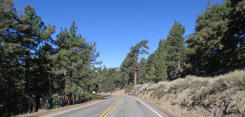
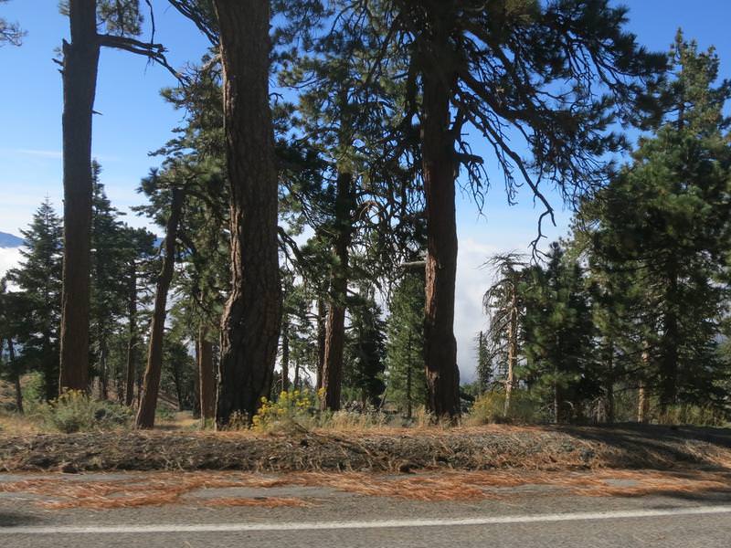
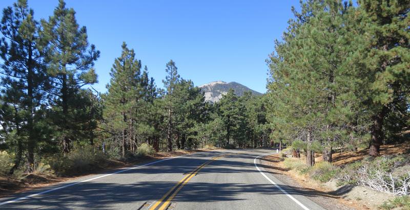
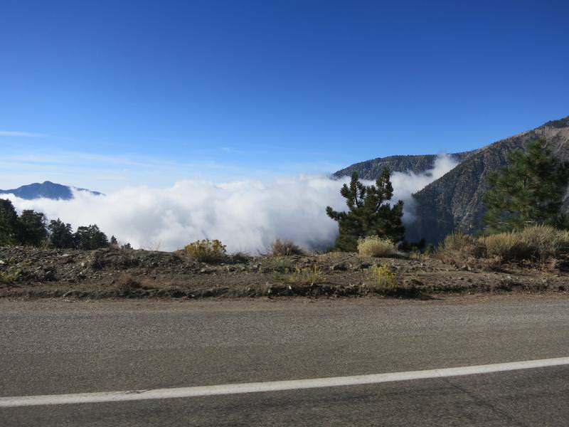
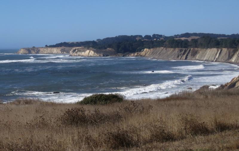
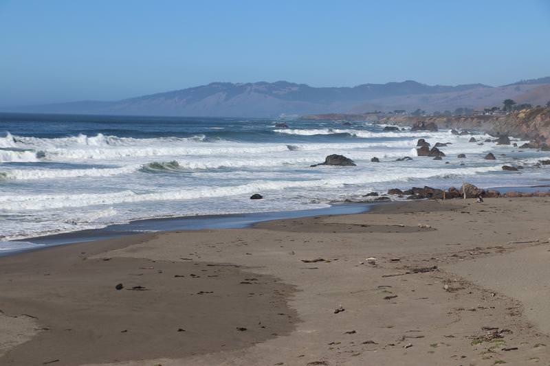
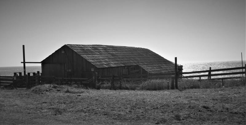
Fontanaman
Robin Trower
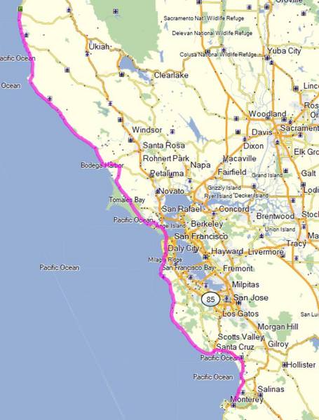
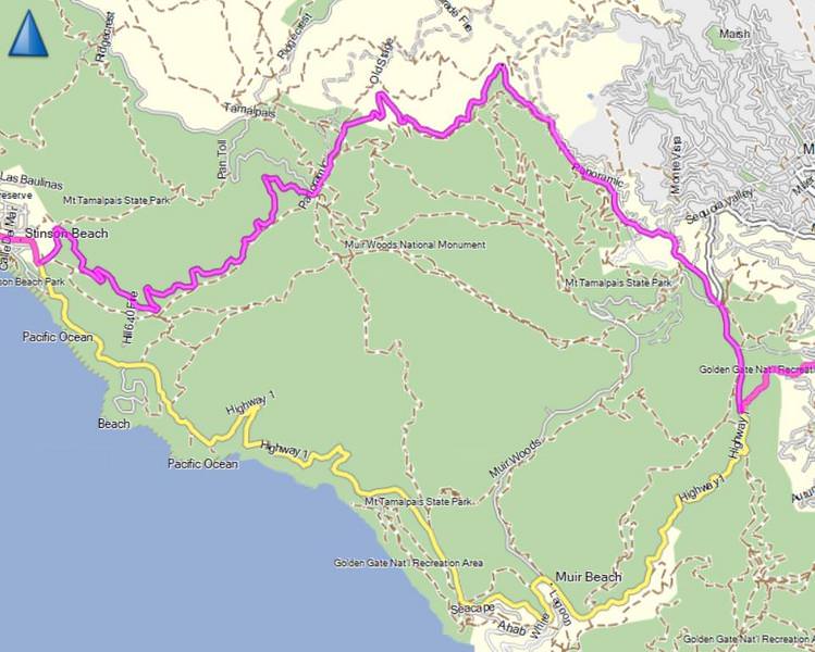
On the last day of my first post retirement trip, October 9th, I was in a motel in Fort Bragg, Ca, when I happened to change the TV channel to a local news to find fires in Napa Valley burning out of control and wrecking havoc. My route took me through the blazes and the only road south open was Hwy 1 and I wasn't really interested in riding through San Francisco - this was a camping trip after all.
I had been camping for a week. Weather at my destination, Kings Canyon National Park, called for temps in the upper 20's. Not one for cold weather camping I said nuts to it and drove home in one day with unfinished business on my mind. There was a window of good weather out of Seattle on Monday October 16 and with that I was headed back to California.
Day 1
Everything is packed. While putting on my motorcycle boot I notice the zipper tangs separating ruining the boot as there is no secondary closure. This sucks. After some fiddling I find zipping down to the damaged tangs I can just barely get the boot on. Delays, delays. I ride I-5 to Yreka.
Day 2
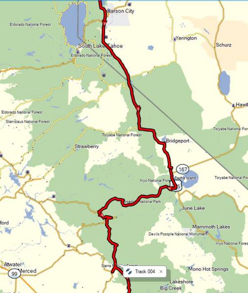
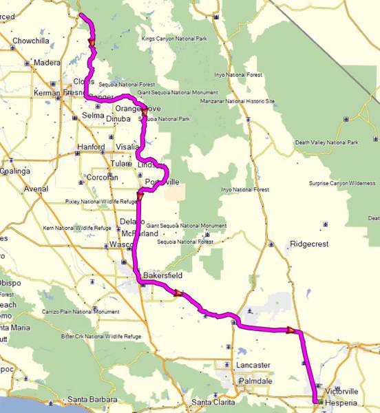
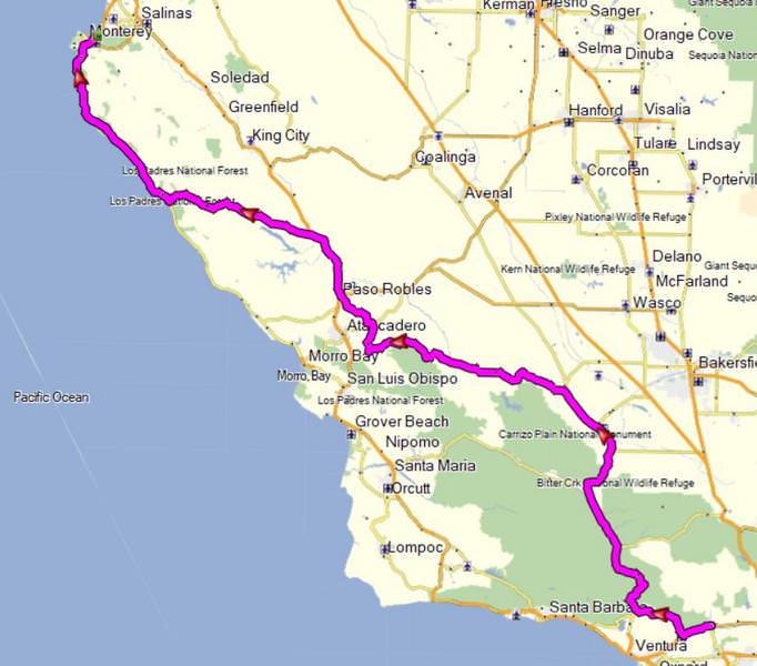
The theme of this trip is to ride roads rode not often or never, skip camping and stay in hotels. Today's route takes me to some roads in the never rode category and the route looks something like this:
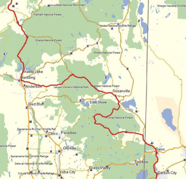
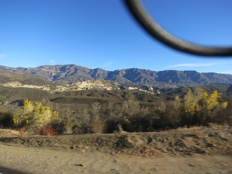
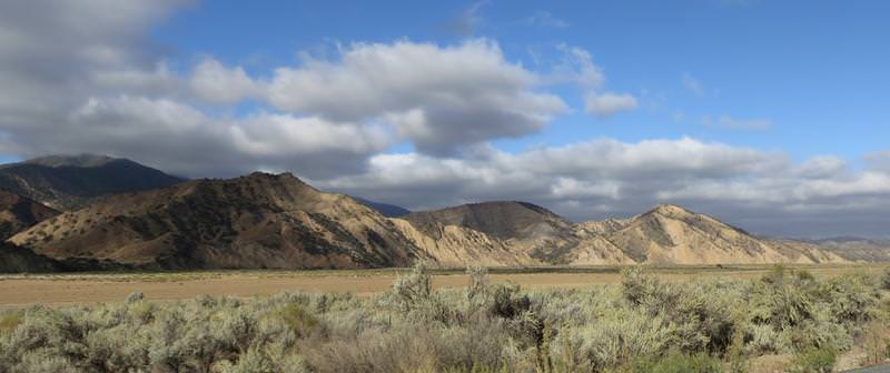
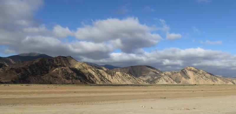
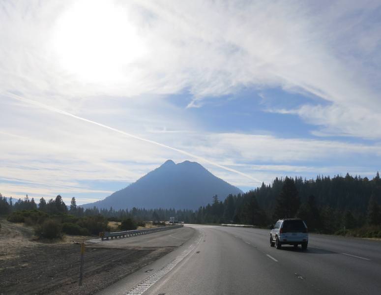
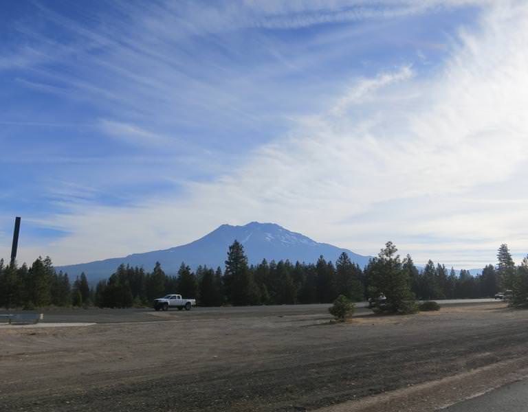
The day starts by forcing my foot into the boot with the zipper failing - unusable even. Rat in fratting fricking ratting...... Fortunately there was motorcycle dealer n Yreka, unfortunately they didn't have any suitable street boots, so I detoured to Cycle Gear in Redding California. Here are a couple of photos near Mt. Shasta. Shooting in the to the sun is a drag.
Cycle Gear has a lot of boots but nothing I really wanted but I was a man in need and want had darn little to do with this. A lot of trying on this and that I found some discontinued entry level race boots, originally priced at $185, now going for $49.95. Perfect and I had a thought these might even work out long term. It was a fleeting thought.
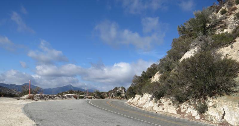
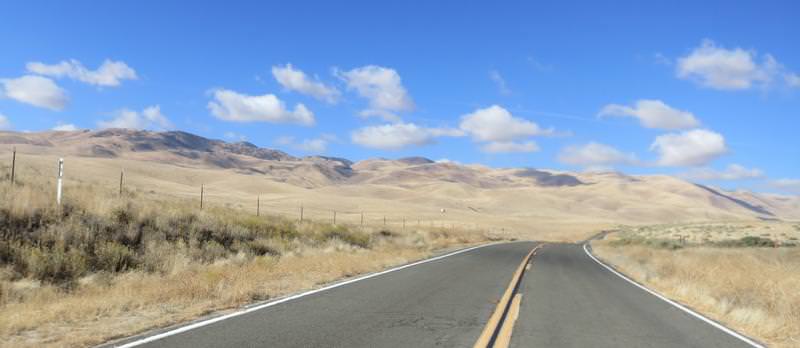
The overall goal today was to ride FSR 43/01 between Taylorsville and Janesville. Why you ask? These roads are rated a DH42 in Destination Hwy's Northern California with a twistiness factor of 30/30. I have never road it, so I am in. So after a long ride to get there from Redding it starts out with pavement like this and this was expected.
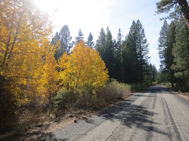
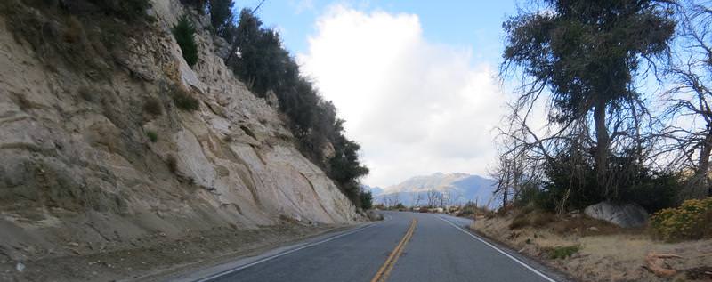
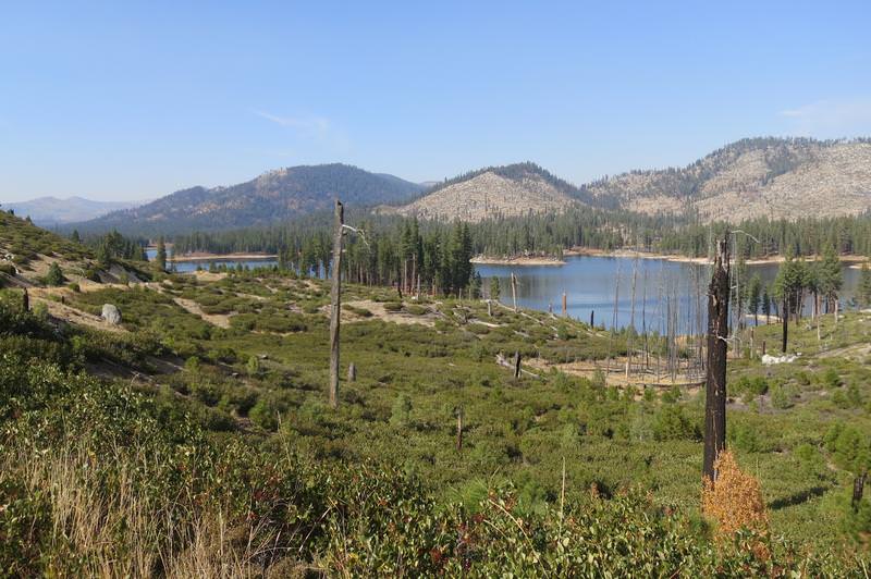
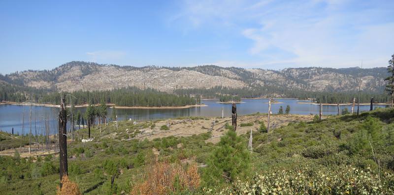
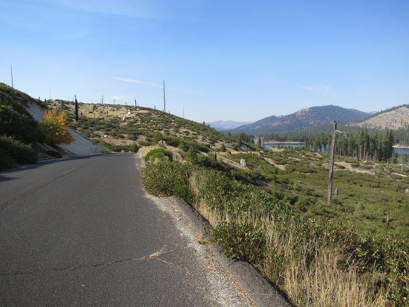
Then the pavement improved and so did the views as I approached Antelope Lake. The views improved due to a recent forest fire. Speaking of fires I had been seeing some smoke since Oregon and it lingered with me for a few days. Yuck to smoke.
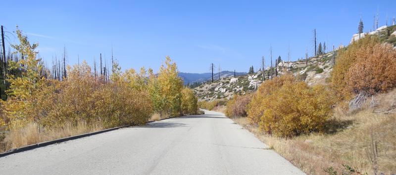
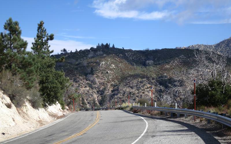
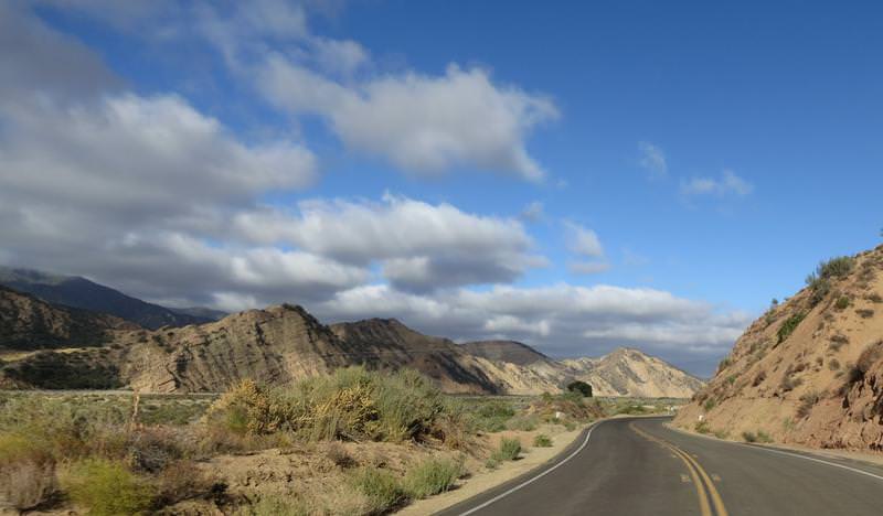
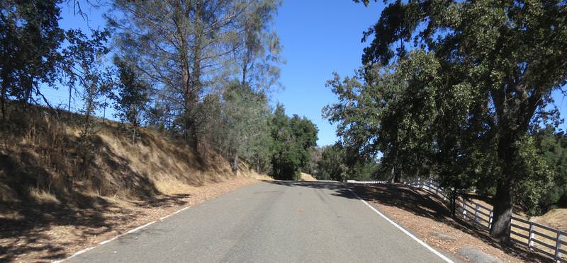
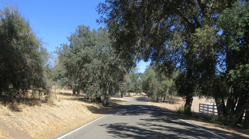
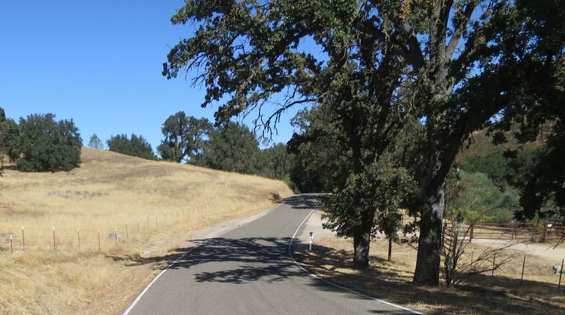
The twistiness was nice too when the pavement was good.
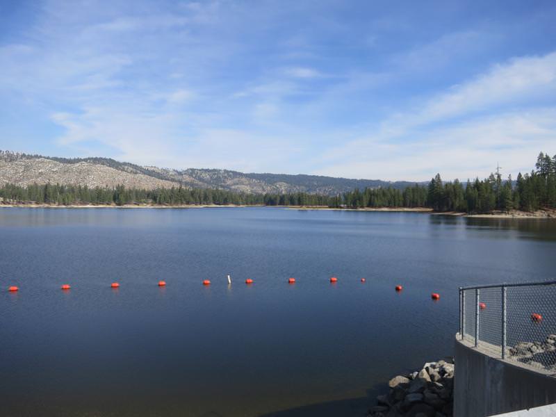
Antelope Lake
At this junction near Taylorsville, see next pic, the silly Garmin 590 decides the best route was due daft down a dirt road to Hwy 70. Later I compare the Basecamp route I created vs. the route the GPS created. The Basecamp route was as planned so why can't Garmin create a GPS that loads the route as planned in Basecamp without alteration? I have the GPS set to avoid gravel road as well and I compared the routing options in Basecamp and the GPS and they are the same. Come on Garmin get with it. We spend $800 for something that does this? BS.
Anyway I am not going down the dirt road so I went around on Hwy 89 through Quincy and then Hwy 70. About now I realized I left my Destination Hwy California Map at home. Bummer. I really like these maps as I can ride like a local finding all the good roads.
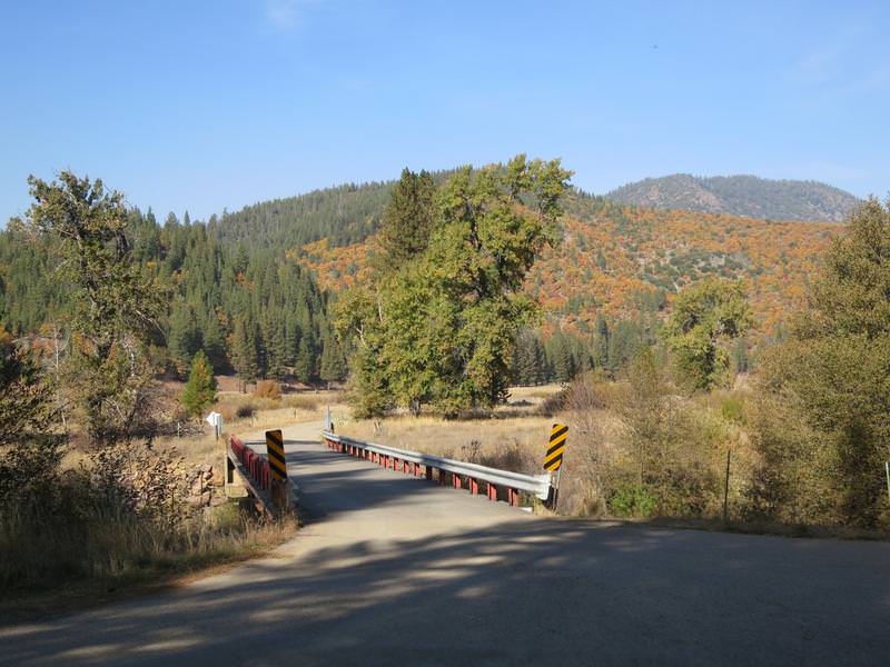
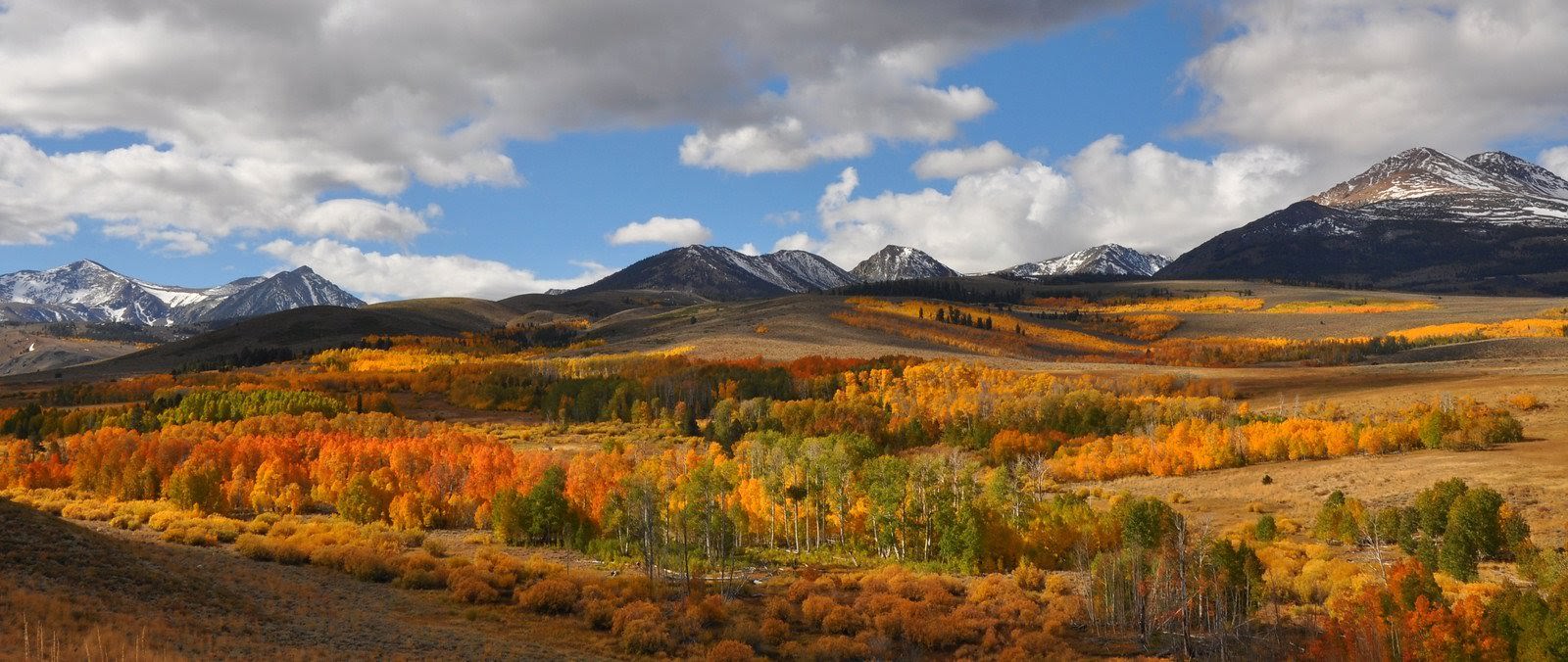
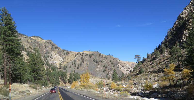
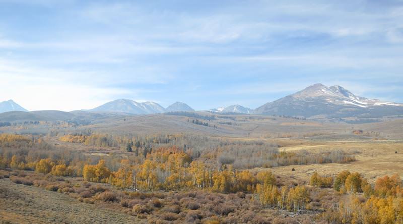
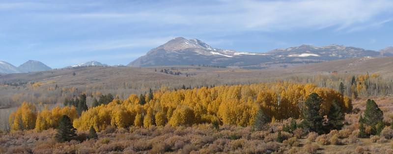
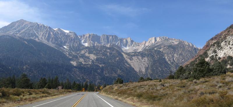
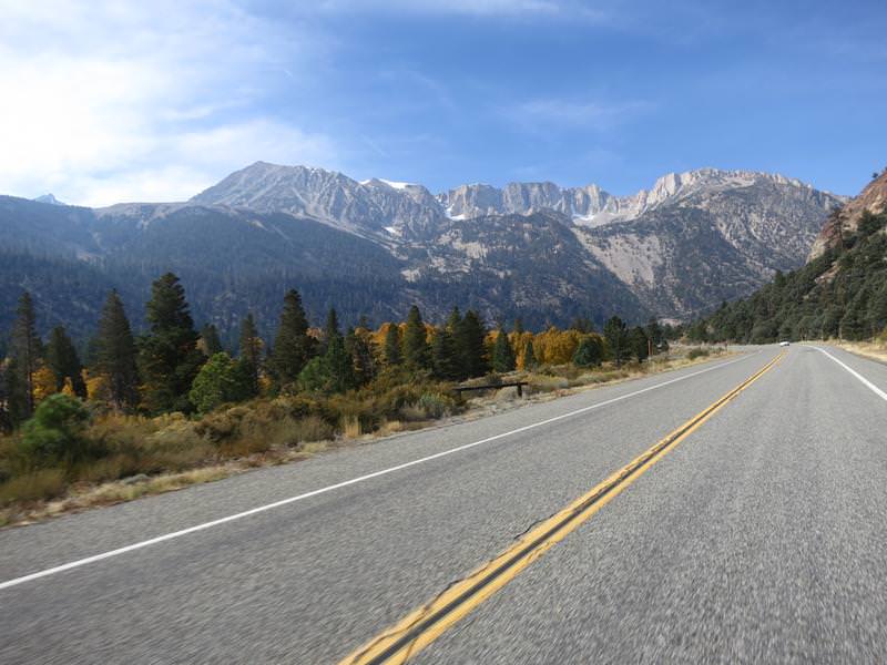
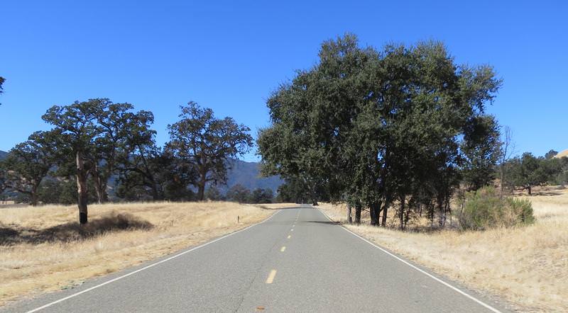
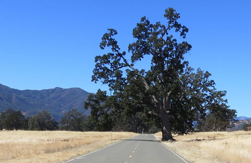
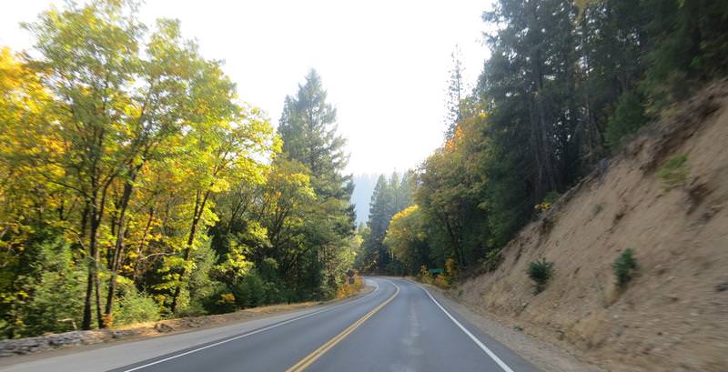
On the way to Carson City fall colors provided entertainment when the road didn't.
By now the inexpensive boot experiment had become very painful for my little toe in the left boot. The right one was fine. I stopped at a Walgreen's and got some moleskin. The toes slider nut plate was riding on my toe. The boots are Cycle Gear's in house brand Built. How about not well Built or Built like.... (add your own adjective here - I did several times.)
I get a room in Carson City right in the middle of town have good dinner at a English style pub then enjoyed a cigar while entertaining thoughts of staying in town for a couple of days. I like it here. The Nevada State Museum is nearby as is historic Virginia City and good roads are nearby too.
End of Day 2
I had been camping for a week. Weather at my destination, Kings Canyon National Park, called for temps in the upper 20's. Not one for cold weather camping I said nuts to it and drove home in one day with unfinished business on my mind. There was a window of good weather out of Seattle on Monday October 16 and with that I was headed back to California.
Day 1
Everything is packed. While putting on my motorcycle boot I notice the zipper tangs separating ruining the boot as there is no secondary closure. This sucks. After some fiddling I find zipping down to the damaged tangs I can just barely get the boot on. Delays, delays. I ride I-5 to Yreka.
Day 2
The theme of this trip is to ride roads rode not often or never, skip camping and stay in hotels. Today's route takes me to some roads in the never rode category and the route looks something like this:

The day starts by forcing my foot into the boot with the zipper failing - unusable even. Rat in fratting fricking ratting...... Fortunately there was motorcycle dealer n Yreka, unfortunately they didn't have any suitable street boots, so I detoured to Cycle Gear in Redding California. Here are a couple of photos near Mt. Shasta. Shooting in the to the sun is a drag.


Cycle Gear has a lot of boots but nothing I really wanted but I was a man in need and want had darn little to do with this. A lot of trying on this and that I found some discontinued entry level race boots, originally priced at $185, now going for $49.95. Perfect and I had a thought these might even work out long term. It was a fleeting thought.
The overall goal today was to ride FSR 43/01 between Taylorsville and Janesville. Why you ask? These roads are rated a DH42 in Destination Hwy's Northern California with a twistiness factor of 30/30. I have never road it, so I am in. So after a long ride to get there from Redding it starts out with pavement like this and this was expected.

Then the pavement improved and so did the views as I approached Antelope Lake. The views improved due to a recent forest fire. Speaking of fires I had been seeing some smoke since Oregon and it lingered with me for a few days. Yuck to smoke.

The twistiness was nice too when the pavement was good.
Antelope Lake


At this junction near Taylorsville, see next pic, the silly Garmin 590 decides the best route was due daft down a dirt road to Hwy 70. Later I compare the Basecamp route I created vs. the route the GPS created. The Basecamp route was as planned so why can't Garmin create a GPS that loads the route as planned in Basecamp without alteration? I have the GPS set to avoid gravel road as well and I compared the routing options in Basecamp and the GPS and they are the same. Come on Garmin get with it. We spend $800 for something that does this? BS.
Anyway I am not going down the dirt road so I went around on Hwy 89 through Quincy and then Hwy 70. About now I realized I left my Destination Hwy California Map at home. Bummer. I really like these maps as I can ride like a local finding all the good roads.

On the way to Carson City fall colors provided entertainment when the road didn't.

By now the inexpensive boot experiment had become very painful for my little toe in the left boot. The right one was fine. I stopped at a Walgreen's and got some moleskin. The toes slider nut plate was riding on my toe. The boots are Cycle Gear's in house brand Built. How about not well Built or Built like.... (add your own adjective here - I did several times.)
I get a room in Carson City right in the middle of town have good dinner at a English style pub then enjoyed a cigar while entertaining thoughts of staying in town for a couple of days. I like it here. The Nevada State Museum is nearby as is historic Virginia City and good roads are nearby too.
End of Day 2
Last edited by a moderator:


