DAY 2
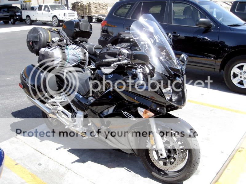
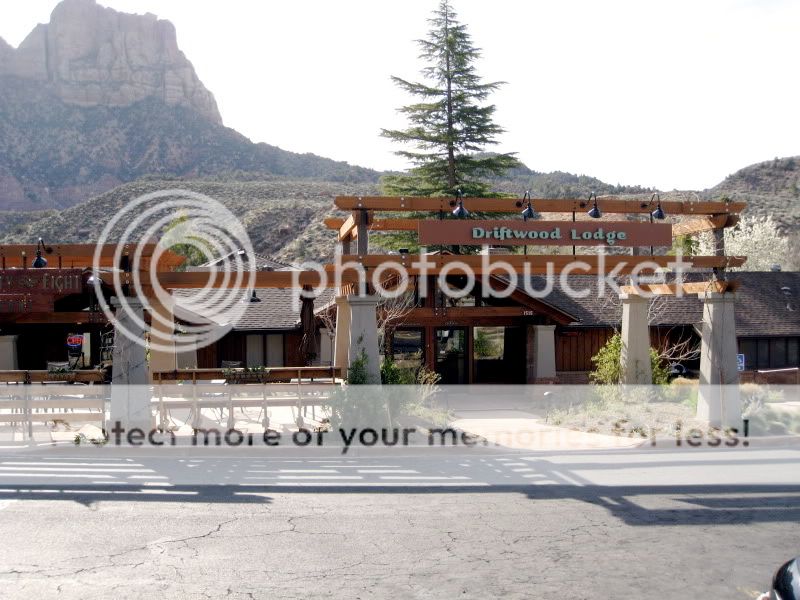
Breakfast in Springdale, UT on Highway 9
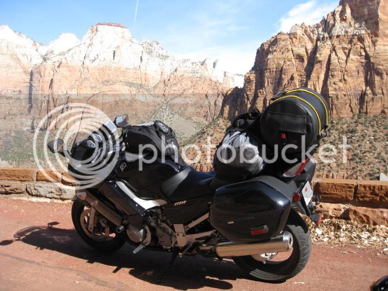
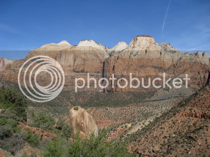
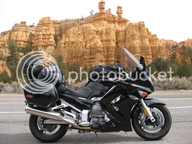
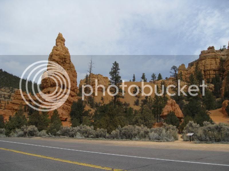
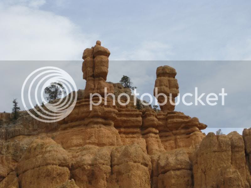
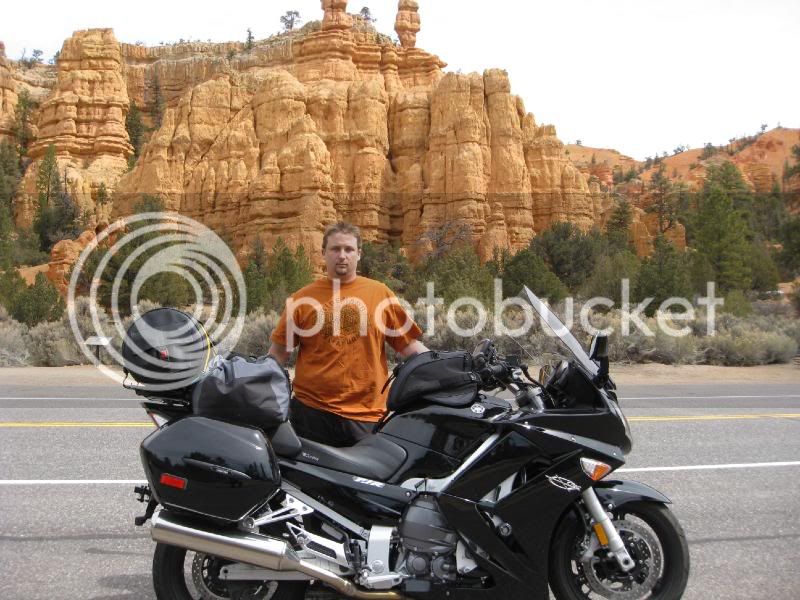
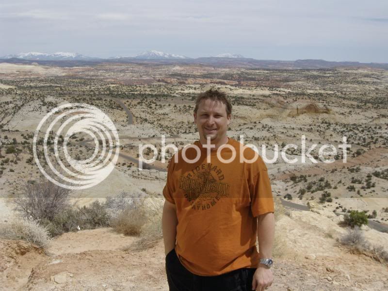
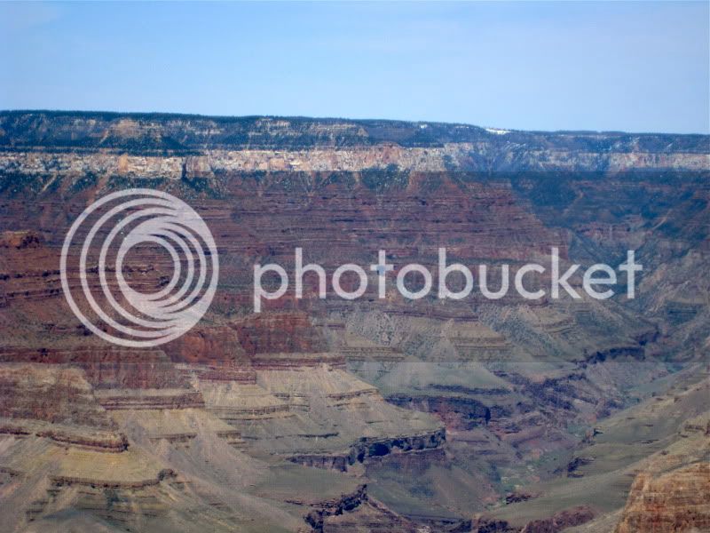
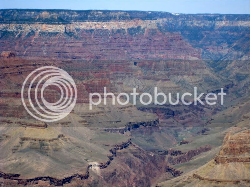
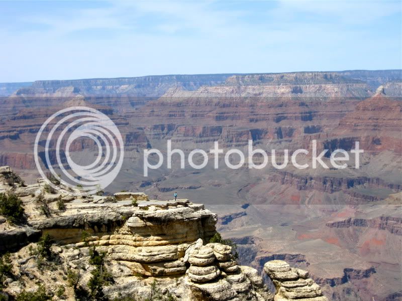
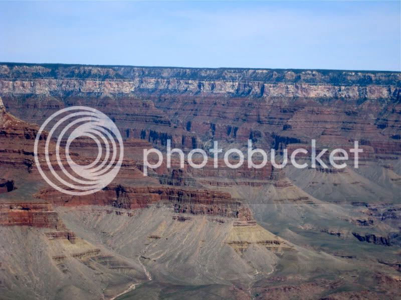
Mount Zion National Park
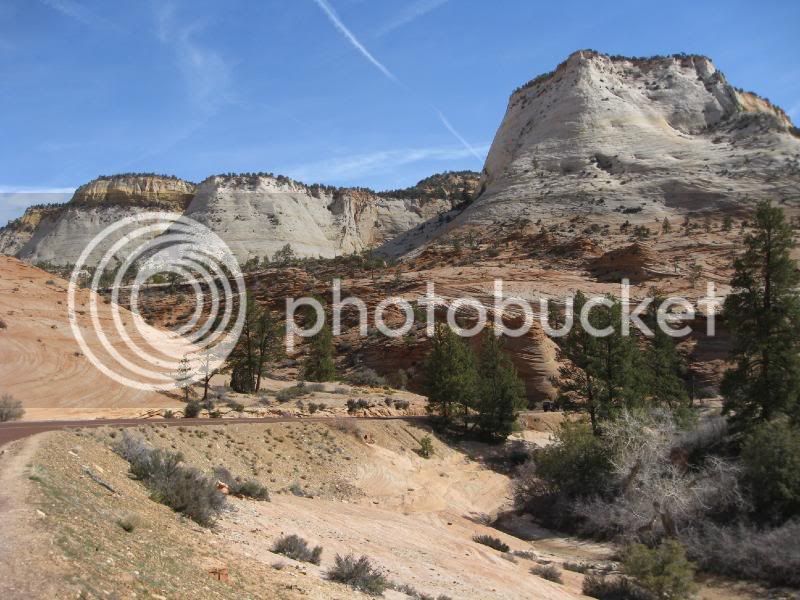
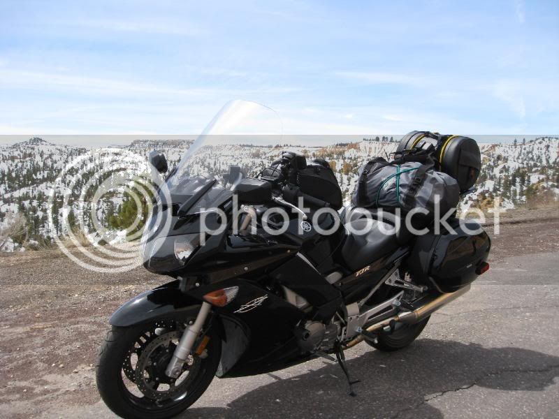
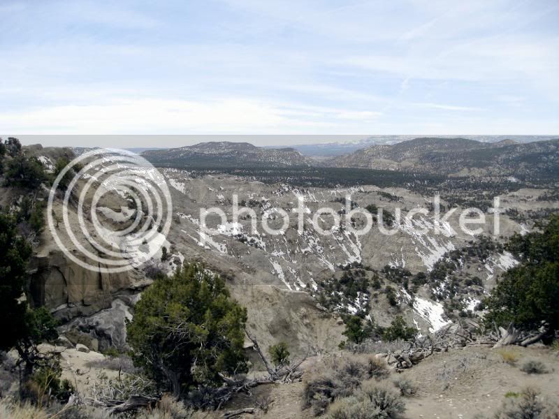
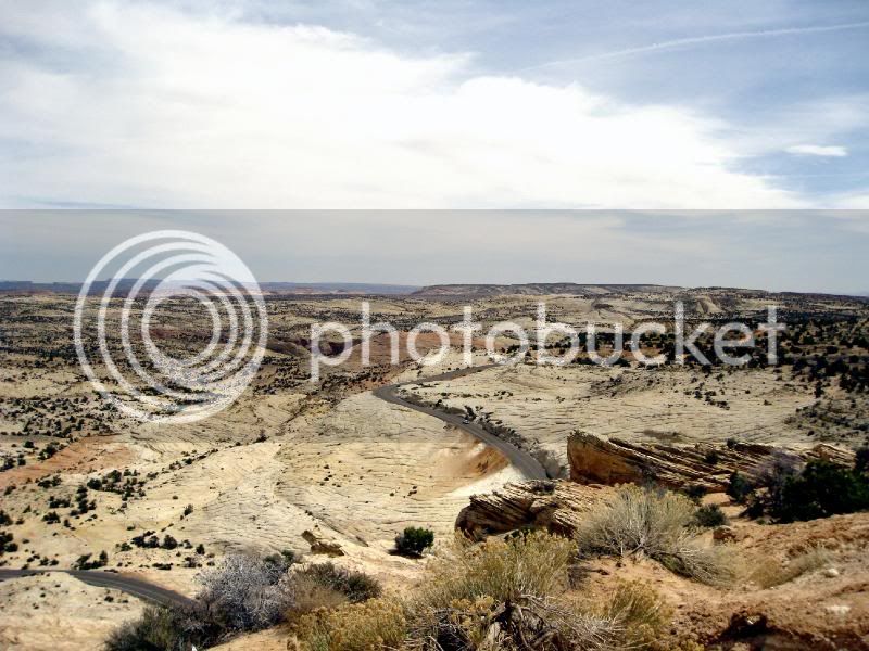
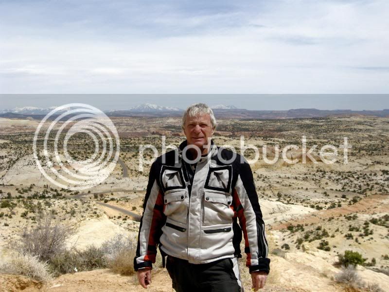
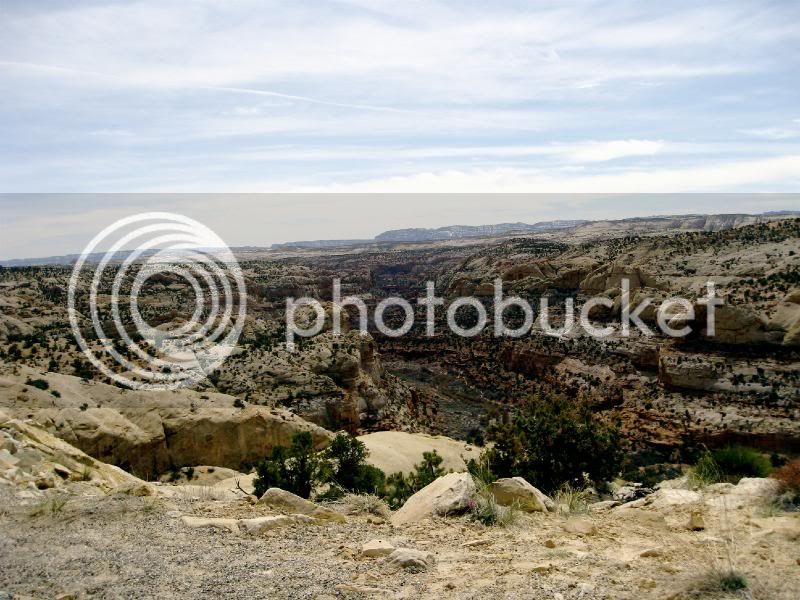
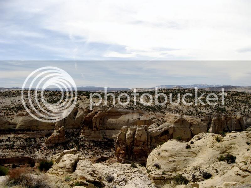
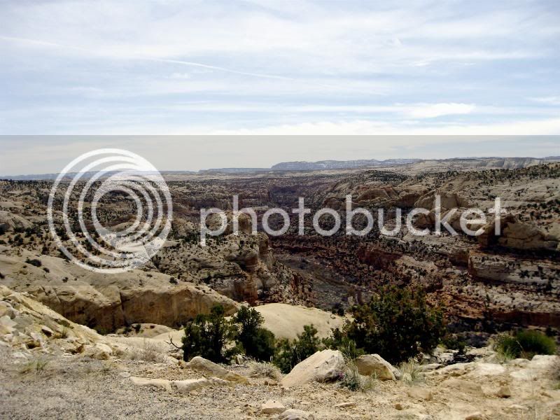
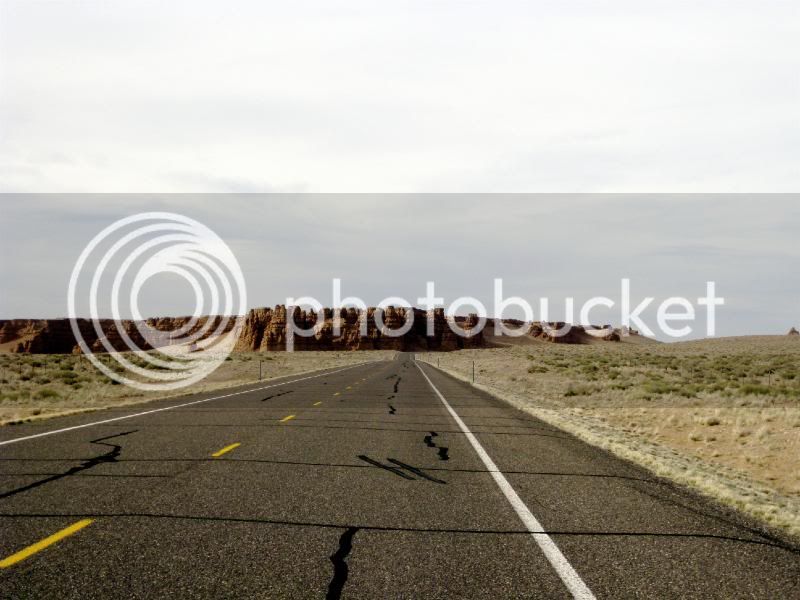
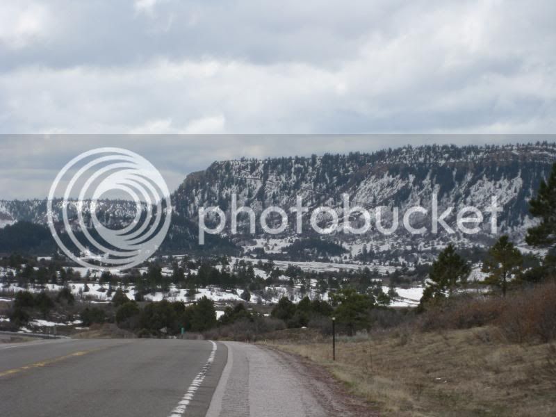
Highway 12 near Escalante
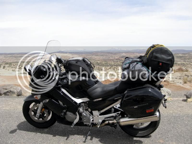
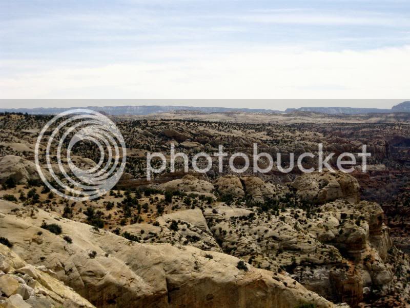
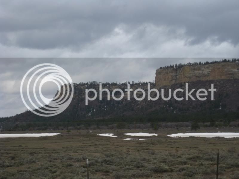
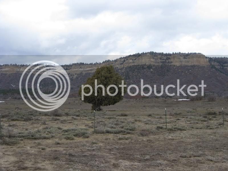
Further up the 12 Beyond Esclante Approaching Boulder
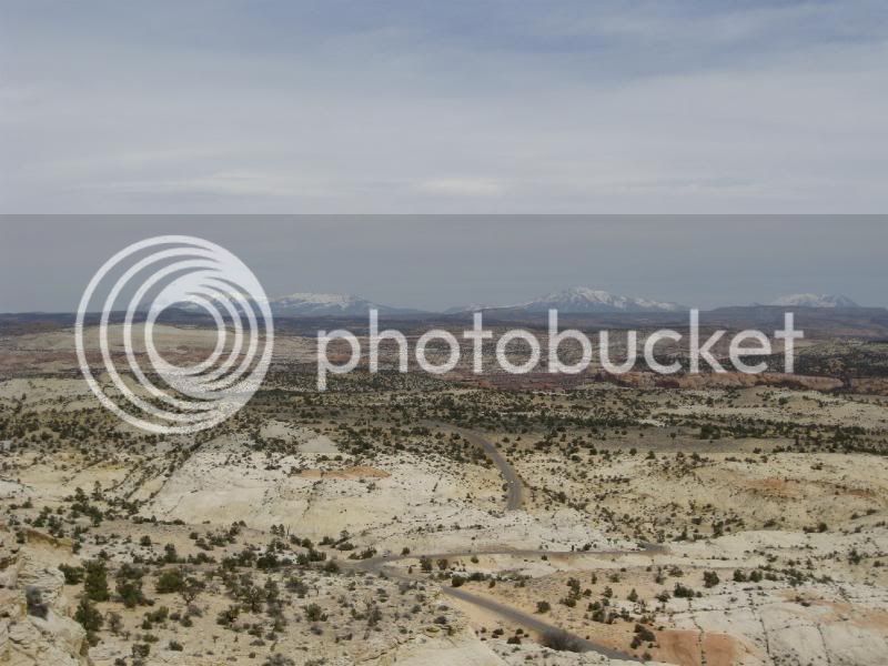
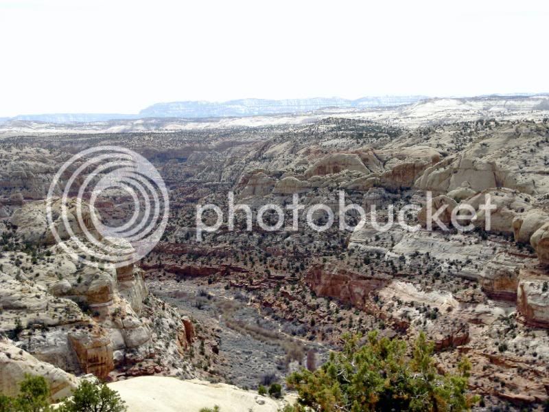
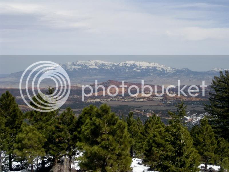
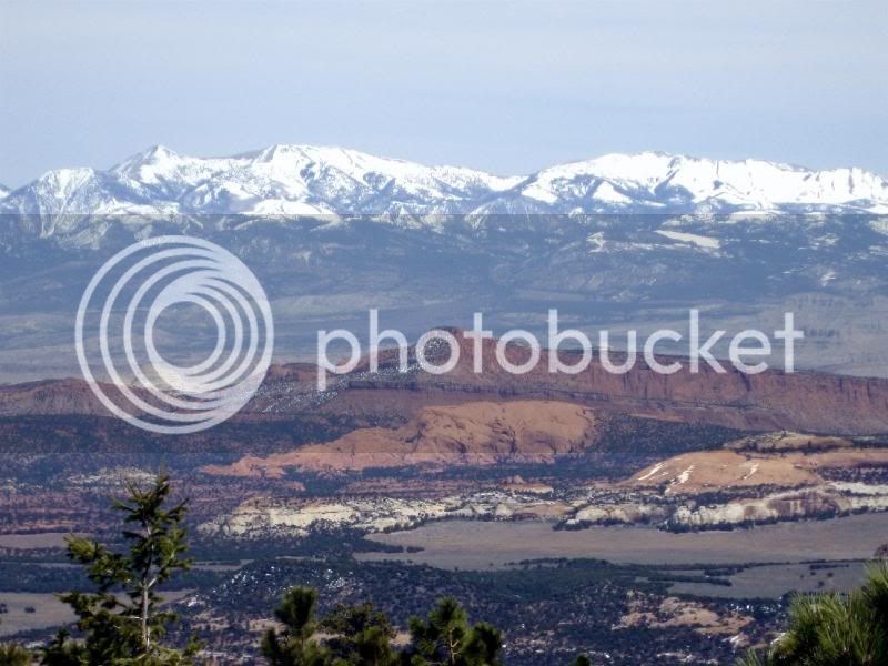
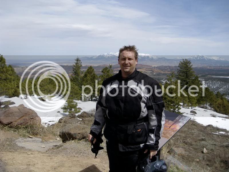
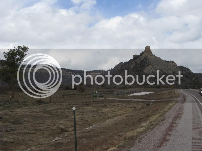
Just Under the Summit of Boulder Mountain about 45 Miles from Torrey
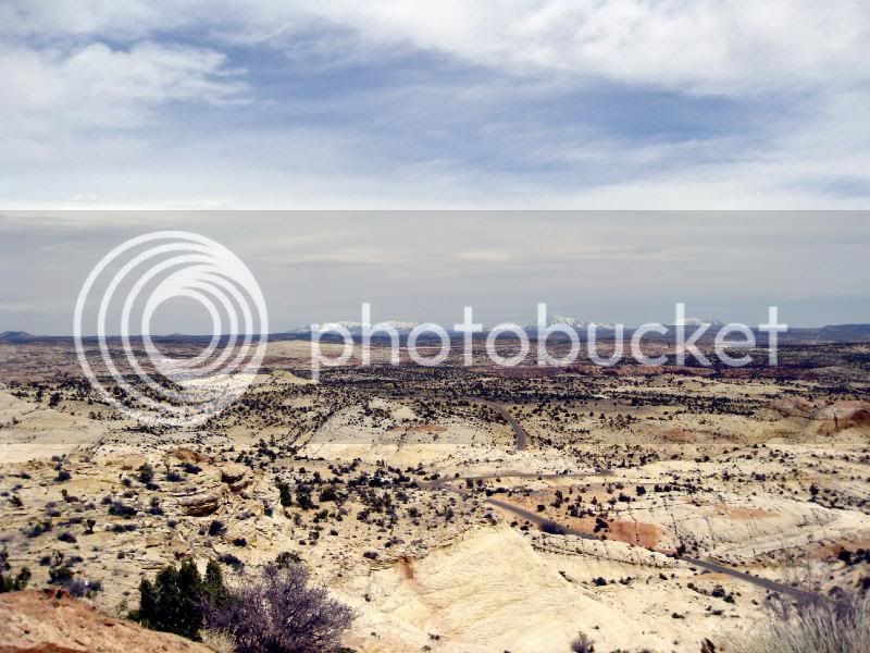
Desert after Lunch/Dinner at a Cafe in Torrey
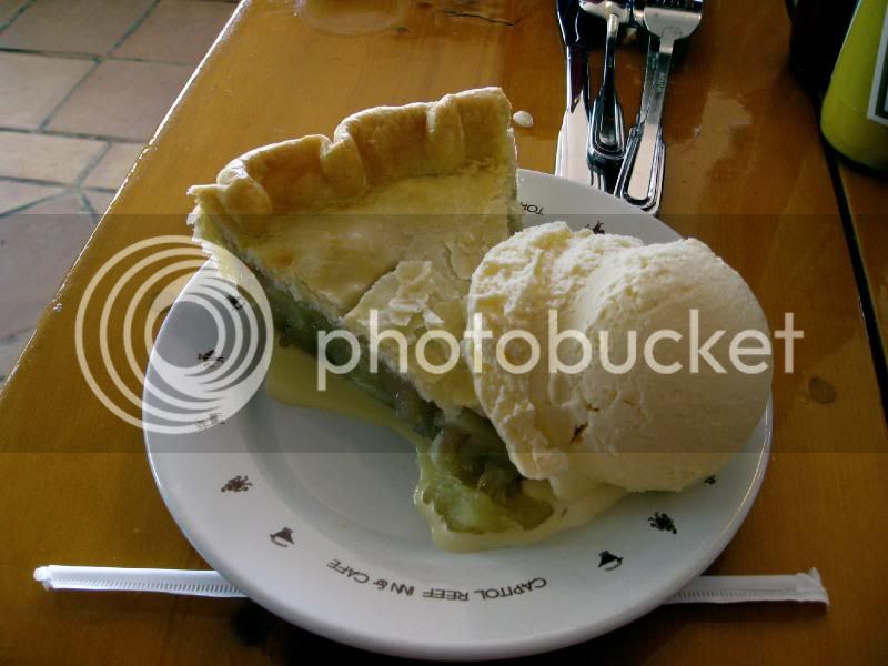
I went for the local Apple Pie Sweetened with Honey
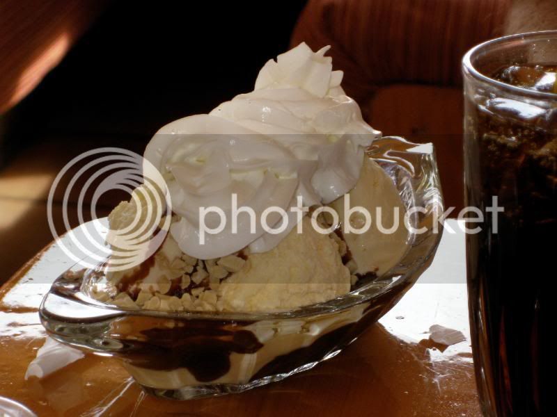
Rookie Went for the Ice Cream Sundae
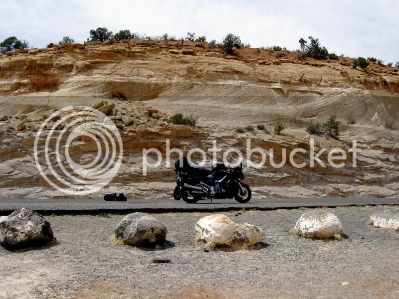
Highway 24 East - Best Stretch of Riding of the Day (To the 70 to the 191 South to Moab)
DAY 3
We rose late this morning and walked down the main drag in Moab. We found a restaurant named Dex's or Rex's. We had a big breakfast of biscuits and gravy (no pictures) and Rookie talked about how classy Moab is. Frankly, I don't see it. It's a hole in the rocky desert that specializes in selling beer to packs of guys on dirt bikes. Ok, so maybe it has it's own beauty.
We doubled back North to the I70, tucked in behind the windscreen, and jetted the 70 miles or so to Grand Junction, Colorado. The weather is unseasonably warm which is good, except the V Stream windshield is too good at redirected the air flow and I baked in my armored and insulated riding clothes.
We gassed up in Grand Junction and continued East on the I70 until we hit Route 65. Oh, Route 65. How do I love thee? I'd count the ways but after knowing her so intimately a gentlemen would never tell. But stick around, I got pictures.
Route 65 stretches for maybe 100 miles. And it is 100 miles of spectacular riding through stunning scenery. It began with aggressive riding on a two lane road the snakes through a rusty red rocky canyon. We passed through a ranch town whose 20 acre lots were each a retirement fantasy. Green ranches at the foot of an imposing granite mountain. Blue grey smoke curled skyward from each cobble stone chimney. Every yard a pasture, home to horses, ponies, cattle and llamas. Lots of llamas in red states, by the way. I bet there's a lot of harmonica in the music they play. Good folk like the harmonica.
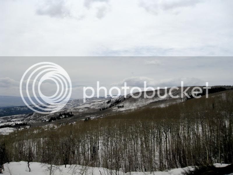
Through the town the 65 winds higher up the mountain. Snow lines the road at higher elevations. The trees change from conifer to white aspen. The road doubles back on itself like a black ribbon on a white mountain. Kinda like the reverse of a hostess cup cake but without the creamy filling. And more trees.
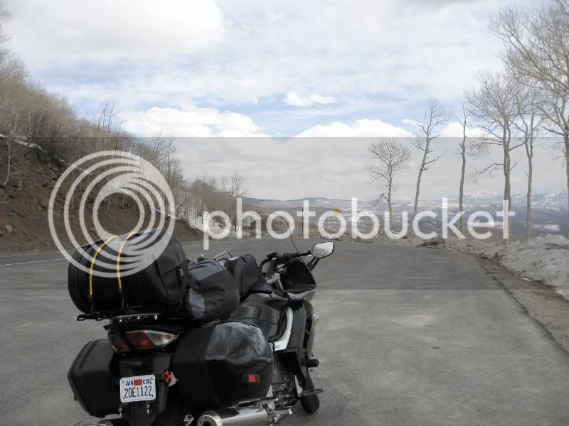
As we climbed higher, the snow banks on the sides of the road grew. At one point, the snow towered over the road leaving only the tips of the road signs visible. At 10,000 feet we rolled along the side of the mountain with a towering snow covered peak to the left and a equally intimidating cliff to the right. The mountain to the left was a vertical wall appearing to us to be a 1,000 feet high. A sign read "Avalanche Area" and another "Falling Rock." Remember how every time Bo and Luke Duke drove by a sign that said "Falling Rock" a perfectly spherical boulder would come rolling down the hill to cream Enus's squad car? As we passed the sign, I peered up at the peek and, perfectly on que, 4 large bowling balls of ice broke free and tapped the cliff face 3 times as they, and a mini avalanche of snow, crashed down onto the road in front of me. I was terrified.
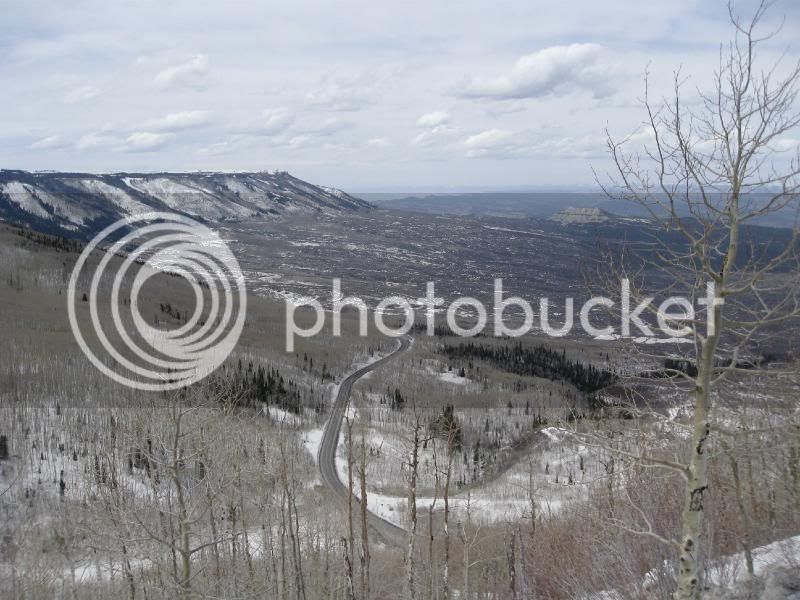
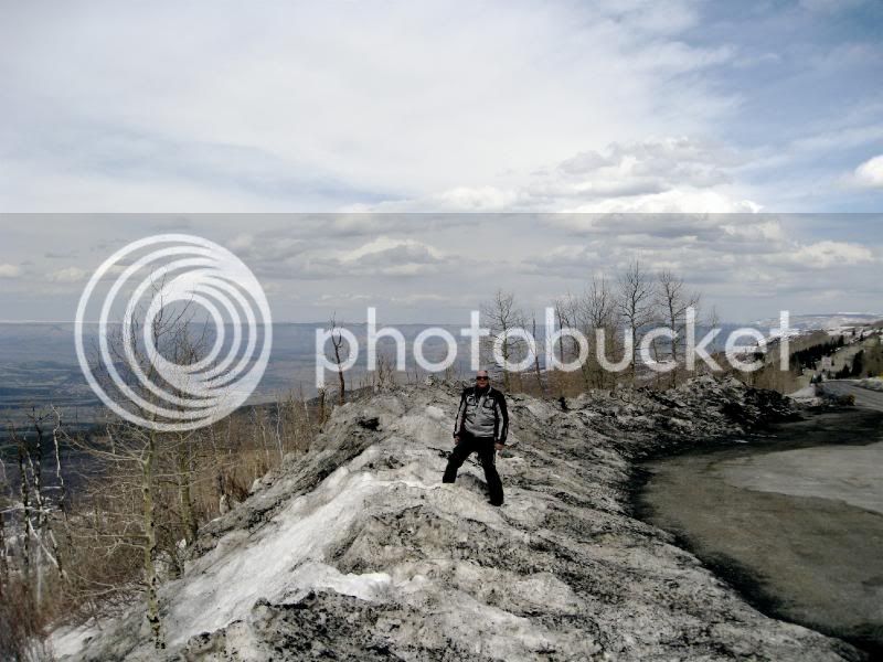
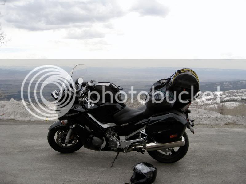
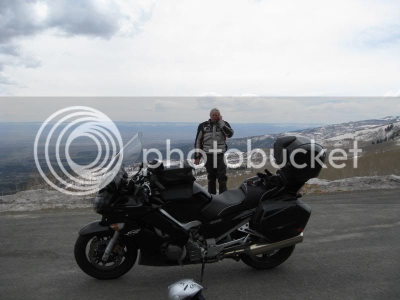
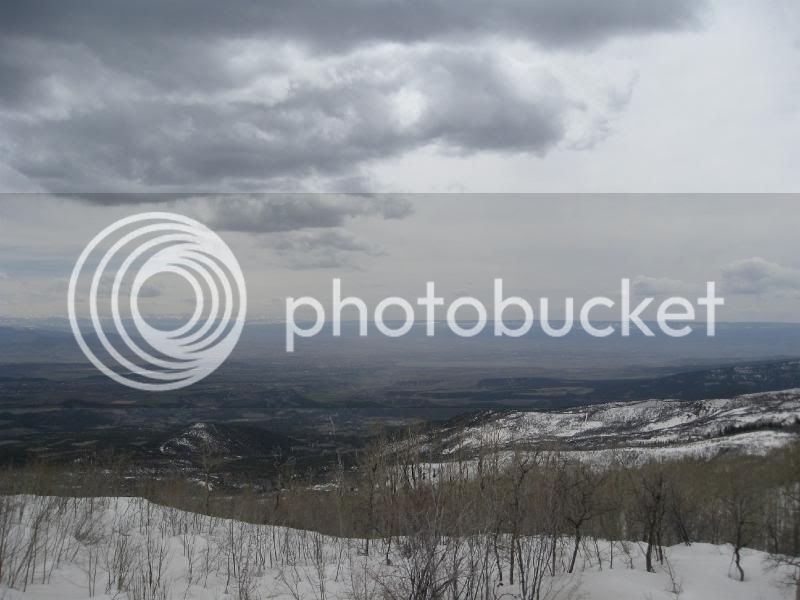
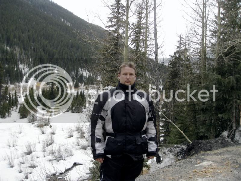
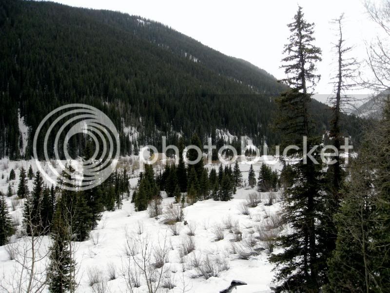
We reached the summit and pulled off to the side of the road to look out over the valley below. We took photos and then sat on a snow drift, smoked cigars, and, at 10,000 feet, listened to the wind rush through the trees.
We descended the mountain as rapidly as we ascended. We passed through several small towns whose names I don't remember. All the names sound like generic small-town USA names. They don't stand out in any way. But each has its own personality. That someone could open cider house or yet another fine art gallery housed in a dilapidated barn in a town of 400 and get by just fine thanks, makes me think that perhaps life is not as difficult as I make it out to be. In any event, none of the gas pumps in these towns have working card readers. You always have to go inside and stand in line. Motorcyclists don't do lines.
The 65 converges with the 50 in a town whose name I've already forgotten. The 50 is a true back country road. Pastures filled with snow and mule deer line the road. I suppress the thought of connecting with a muley at 60 mph but keep an eye out. I bet they'd like a little pay back.
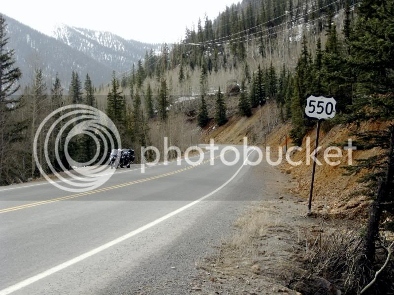
The 50 turned into the 550 in or around Oure, CO. Oure is like Santa's Village minus the overt Christmas theme. It is tucked into a cul de sac of impossible mountains. Impossible in all respects. The town is flanked to the right, left, and behind by the tallest, sheerest, most jagged mountains I've seen since I walked out of Lord of the Rings after the first 50 wasted minutes. Small cottages line the narrow road. There is an opera house, a library, book stores, and all with the same flavor to them. It has to be contrived to sell its own stereotype. Cottages mix with western saloons that are fancy in the way that Hollywood ****** bags to the trucker look. You know, it is but it isn't. Like the jerk has the right style of clothes but no dirt under the finger nails. It's the whole 2 hours to make your hair look like you just woke up thing. But damn-it, it works for this town.
The difficulty of a road is often forecasted by its speed limit. I often take corners at double the suggested speed limit for a corner. Not saying its a good idea or that I'm special. I mention that to set up that bikes usually are capable of that. Not today. A posted 10 MPH is 9 MPH. Where the 65 doubled back on it self like a ribbon of delicious frosting, the 550 through these mountain passes is more like a compressed slinky.
I will never forget this stretch of road. It is a scene straight out of the History Channel's Engineering Marvels. Two lanes. On the left, a jagged granite wall that thrusts vertically for a legitimate 1,000 feet. Every 50 yards, water falls gushed down the granite face to the side of the road and flowed along the road side, almost never wetting the road way. To the right, a true 1,000 foot drop. Beyond that, another 1,000 foot snowy mountain. I can only imagine that is what the Matterhorn looks like.
I found myself staring up at the mountains. Craning my helmet backwards to bring the peaks into view. I'd become dizzy trying to comprehend their impossibility. I spent some of the ride thinking of how I'd describe them to you. I settled on "impossible," so you're going to read it over and over again. And then I'd drift a foot closer to the cliff and its unprotected edge. The bike only went a foot by my imagination went over the edge. Occasionally, around a turn, I'd peek over the edge. Once over, a guy would kiss the cliff face 2, maybe 3, times before his problems are all over. The fancy armored riding suit would be a wet bag a lasagna. Speaking of lasagna, Rookie had a sausage lasagna tonight at Momma's Boy Italian Restaurant that he says is the best he's ever had.
The 550 took us to 11,000 feet. 11,000 feet of impossibly high, impossibly jagged, impossibly narrow, and impossibly beautiful mountain-scape. All covered in 5 to 10 feet or pure white snow. Come to think of it, not unlike the creamy center of a Hostess Cupcake.
We finally reached the summit and began winding our way down the other side. More wooded ranches and green and snowy pasture land were found. It was an unforgettable sight.
We pulled into Durango, CO around 7:00pm. Durango, on the other hand, has a disconcerting quality. The wind howls through the streets carrying sand. Not dust. Sand. Small rocks. The sidewalks are covered in the sand. The main street, named Main Street, looks like it belongs in southern Nevada. Closed shops and shuttered, abandoned buildings. We walked to dinner. We past 4 motels 2 of which had police and ambulances attending to what I get the feeling is a not uncommon news headline "Meth addict burgles motel room." Durango doesn't stand up to its neighbors. I don't know if I feel badly for this town or despise it.
No matter. We'll be gone in the morning. On to New Mexico.
Above the town with the retirement fantasy homes
At 10,000 feet on the 65 where we smoked the cigars
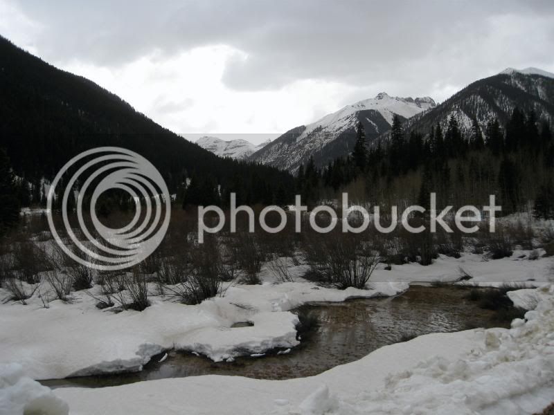
Other side of the impossibly tall, impossibly, rugged, and impossibly beautiful mountains.
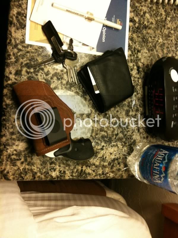
Something about Durango ain't right. A J Frame Smith & Wesson is a great room-gun when traveling.
DAY 4
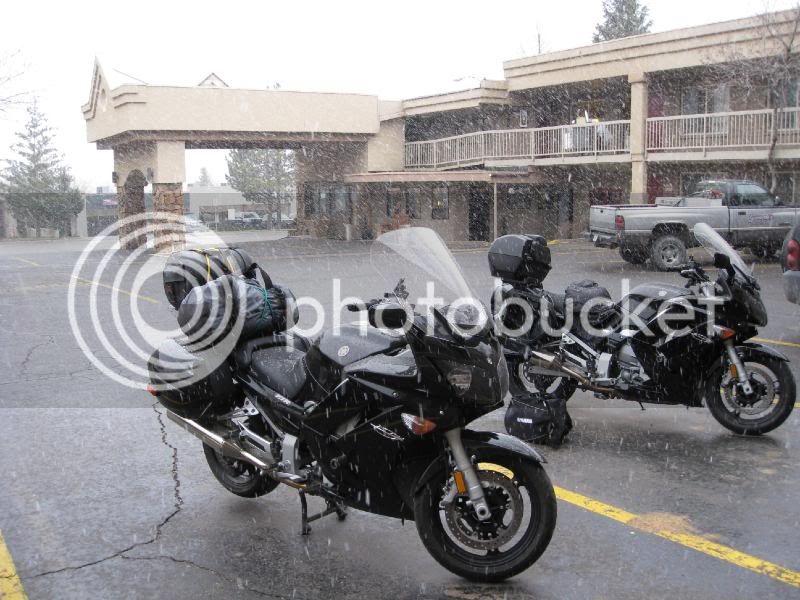
Some time between waking up this morning and stepping outside to load the bikes a snow storm hit. We quickly packed our gear and strapped it down. We pulled out of town in the thick of the storm.
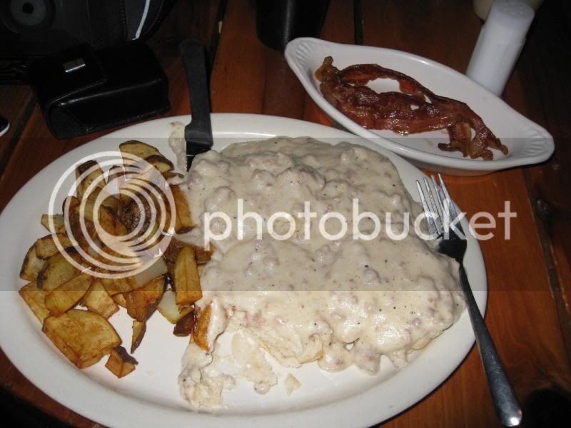
The 160 East took us to Pagossa Springs where we had breakfast. The storm let up on the way there. We stopped at some pub that served breakfast. We both ordered the biscuits and gravy. It was ok. The thin biscuits were lost in a sea of bland gravy.
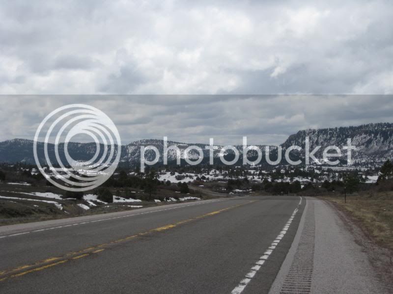
Northern New Mexico looks a lot like Colorado but not as extreme in its landscape. I'd love to hunt deer or elk in Northern New Mexico.
We planned to head directly to Santa Fe, but took a detour on the 64 to see Taos. The wind has been an annoyance throughout this trip. The wind on the road to Taos was violent. Shock and awe. At one point I was blown clear out of my lane and into the lane heading the other way. I pressed the right grip and tipped the bike over at what felt like a 30 degree angle. I slowly began to fight against the wind when a second tidal wave of atmosphere blasted the bike up right and threw me back to the center of the oncoming lane. At the same time, Rookie was caught in a dust devil that gave him the washing machine treatment.
That was the worst wind through which I've ever ridden and maybe the worst I've ever experienced. At the end of that 70 mile detour we arrived at our reward. Taos, New Mexico. People, Taos sucks. It's a crappy little town. True, we didn't see much of it. But the it reminded me of California City, California. That, and the coffee shop wouldn't let me use their bathroom. Taos sucks.
We pulled out of that two bit jerk-water-berg and headed south to Santa Fe. After 30 miles of southern progress, the wind let up, a little. As we moved south, New Mexico began to look like Arizona.
We pulled into the Best Western on Cerrillo Road around 4:30 pm. We'll hope to ride 2 Up in to the heart of some fancy pants part of town, park, and walk around. Where we are now is not all that impressive. But it's a big town. I hope we get to see some of it.
Snow Day
Biscuits and Gravy in Pagossa Springs, CO
Northern New Mexico
