WFO Big Dog Ride

Yamaha FJR Motorcycle Forum

Help Support Yamaha FJR Motorcycle Forum:

This site may earn a commission from merchant affiliate links, including eBay, Amazon, and others.

OrangevaleFJR

R.I.P. Our FJR Riding Friend
Joined
Jul 5, 2005
Messages
3,856
Reaction score
2
Location
Orangevale, CA
Let's talk about the ride group. There were four Northern California regulars in our group:

Bluestreek 2up with Cindy

fjROB 2up with Terrie

Uber Kewl 2up with Kristy

Orangevale 2up with Sherri

Special Guest from Saskatchewan (you know, the great white North eh.)

FastJoyRide solo ( We met Claudia later who needed a break after their long ride to Reno :)

So, David was in for a Northern Californian Treat. Well, okay, some of the niceness was in Nevada. I think it was smart to split Tahoe in two so that tourists could gamble and avoid taxes on one side of the lake, and well...do California stuff on the other side (eat granola, drink yogurt, ride bikes, hike, act snooty while in actuality being brazen at best). Did I just say all that?

Anyway, for the locals in California Tahoe is a mixed blessing. It is certainly one of the most beautiful lakes I have ever seen. It is also the most crowded. It gives us wonderful places to go and is surrounded by wonderful trails throughout the Desolation Wilderness. It also gives us stop-and-go traffic Eastbound on Friday and Westbound on Sunday. See? Mixed.

Enough of all that babbling. What was the route?!?!?!?! I don't even want to cut and past that much...

Click here for the route

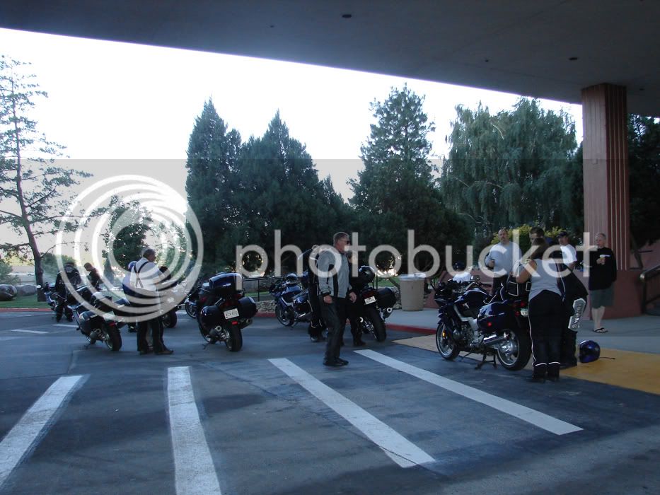
Here is the start, outside the Southern facing exit from the Hilton. There were riders from our group, riders from the next group and riders that were sitting this one out, perhaps to ride further later, and perhaps to hang out and enjoy the company of new and old friends.
DSC05595.jpg


Smack in the middle of this picture is the guy responsible for organizing the 6 groups that took this ride today! A hearty thanks to Toecutter! To his left are the Bluestreeks, Steve and Cindy and in the rear left is Tim (Mr. TwoWheelNut) and to the rear right is David (Radman) and right front? I dunno! :unsure:
DSC05593.jpg


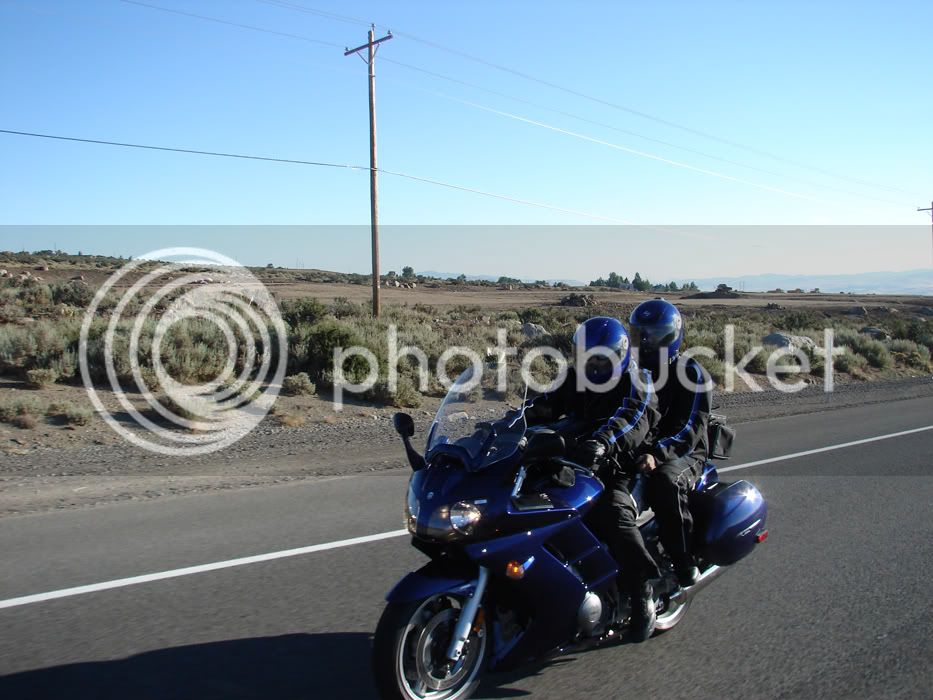
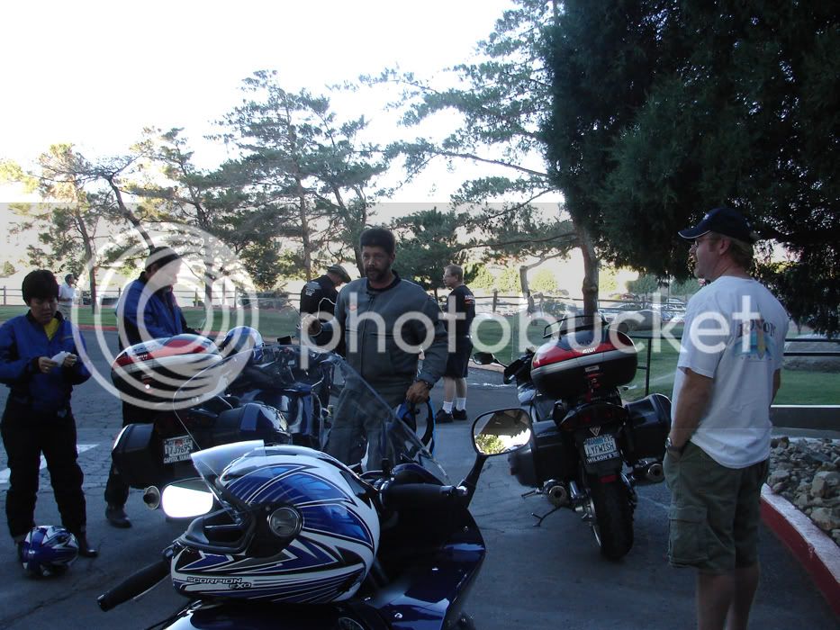
Here are fjROB and Terrie getting ready.
DSC05594.jpg


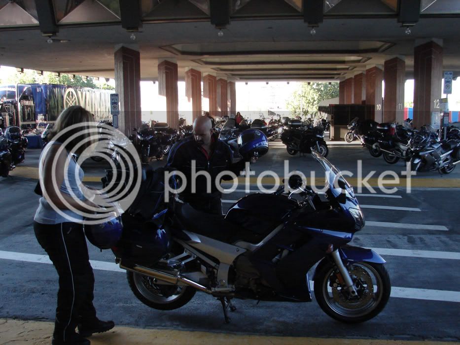
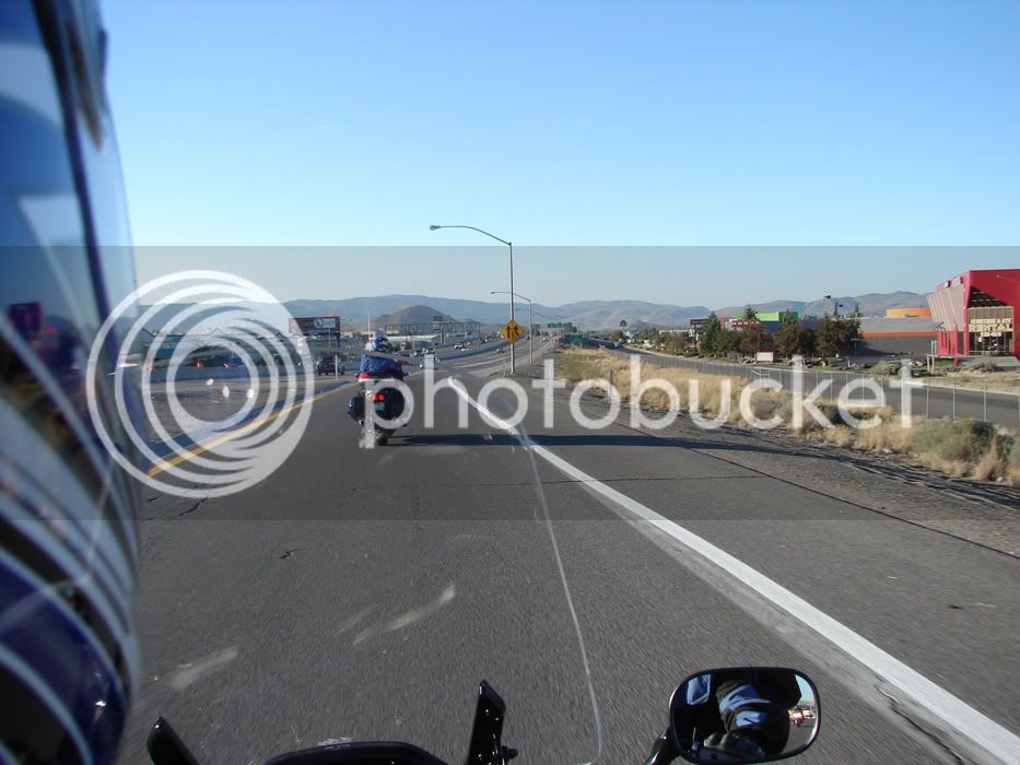
We hopped on 395 South to get out of town and down to Mt. Rose Road with Bluestreek taking the lead.
DSC05597.jpg


Formation flying with 2 second gaps on 395
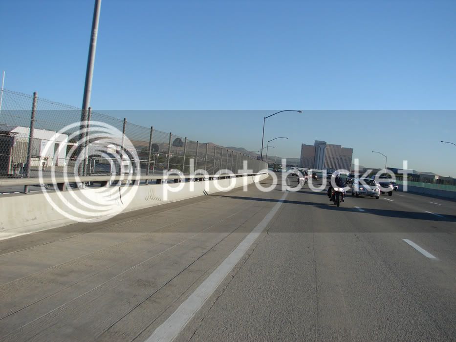
DSC05599.jpg


I snuck ahead at the exit stop light for a pic of our leaders
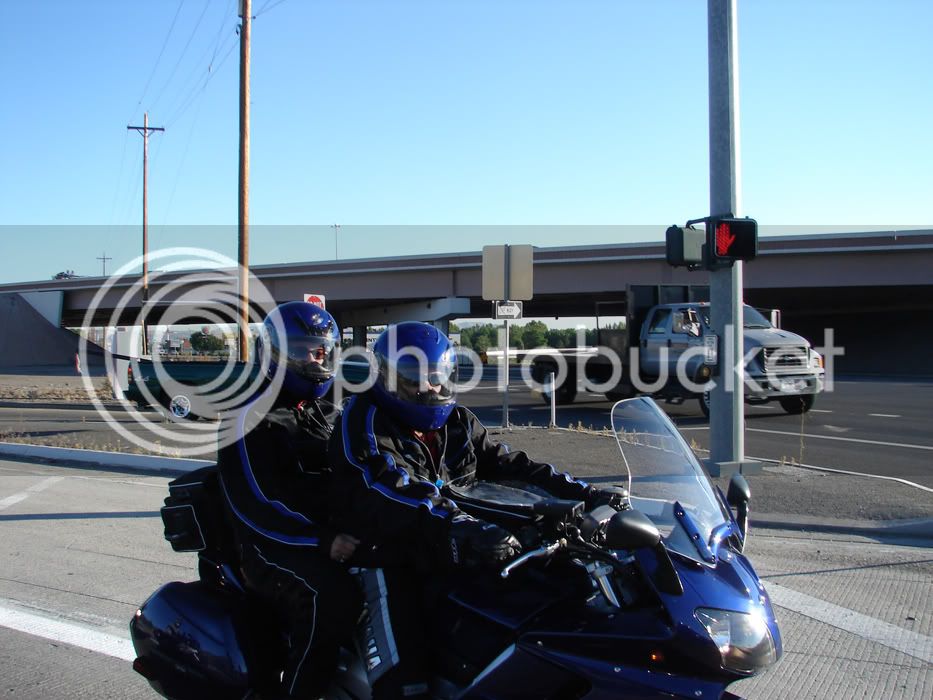
DSC05602.jpg


and then the rest of our group...ready to roll!
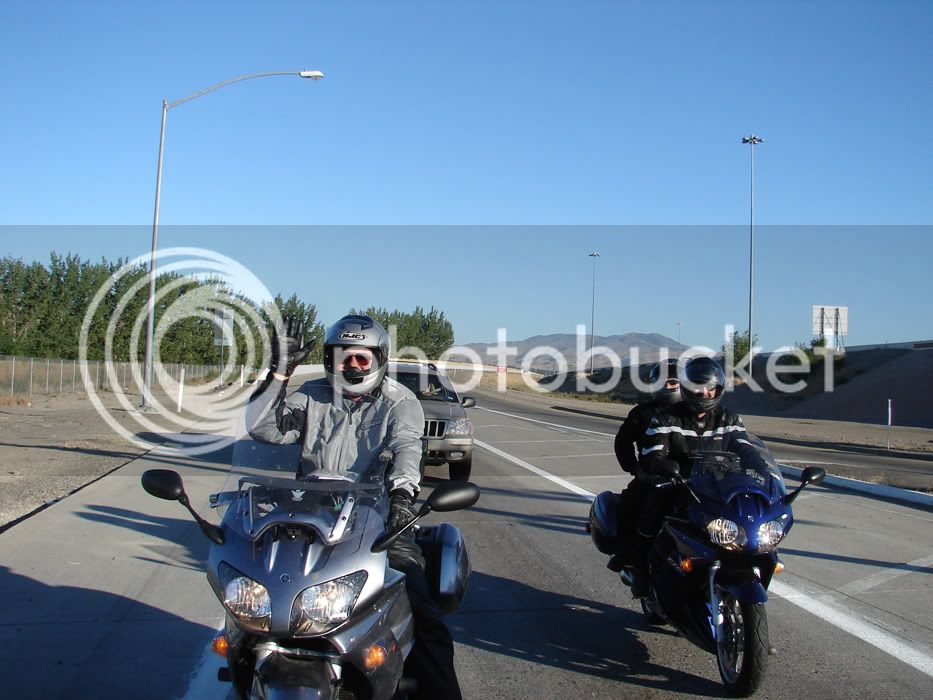
DSC05603.jpg


More to follow

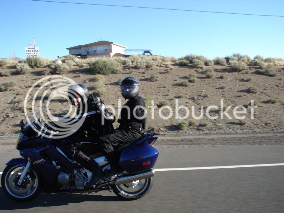
If these guys are in the lead, then Orangie must be crowding. Nobody ever told me about save distances!
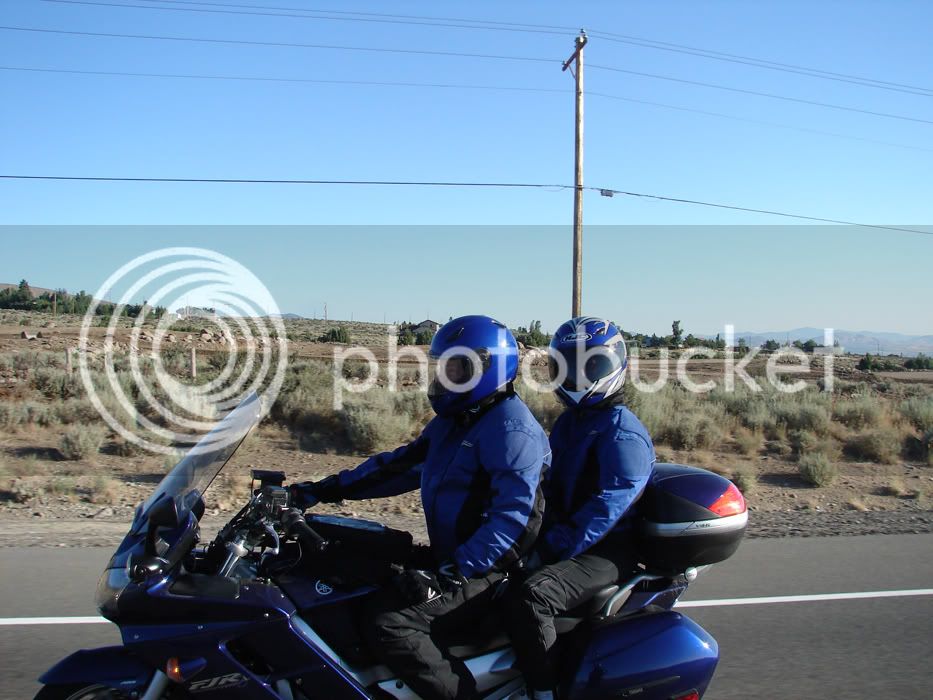
DSC05610.jpg


But Cindy forgives us with a thumbs up
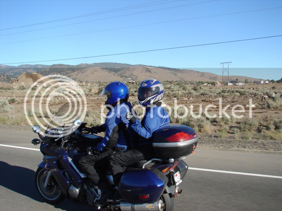
DSC05611.jpg


Brad lets us know how he feels

DSC05617.jpg


David from Saskatchewan (secret spelling of Sasquatch in my book) is congenial as always
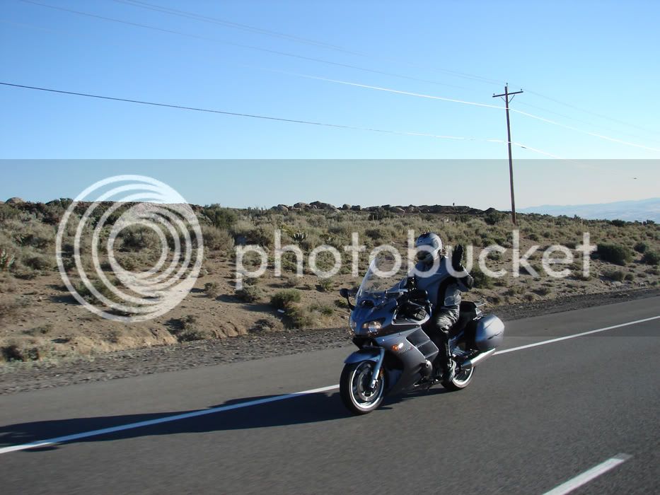
DSC05615.jpg


fjROB and Terrie

DSC05613.jpg


Uberkewl with his face shield down hiding his tongue
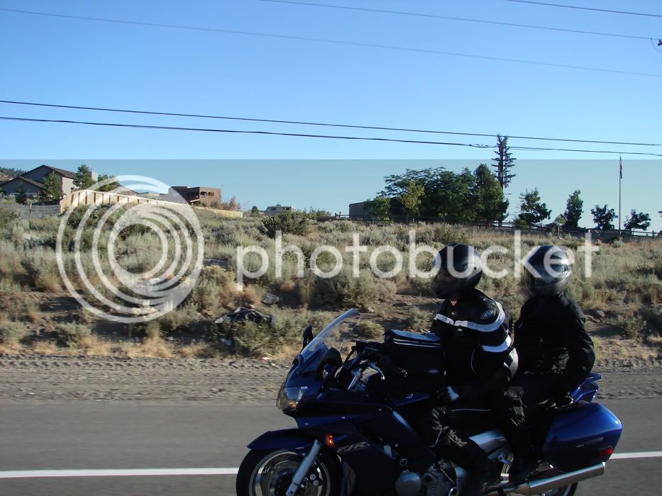
DSC05620.jpg


The road (Mt. Rose Road to Lake Tahoe) ahead.
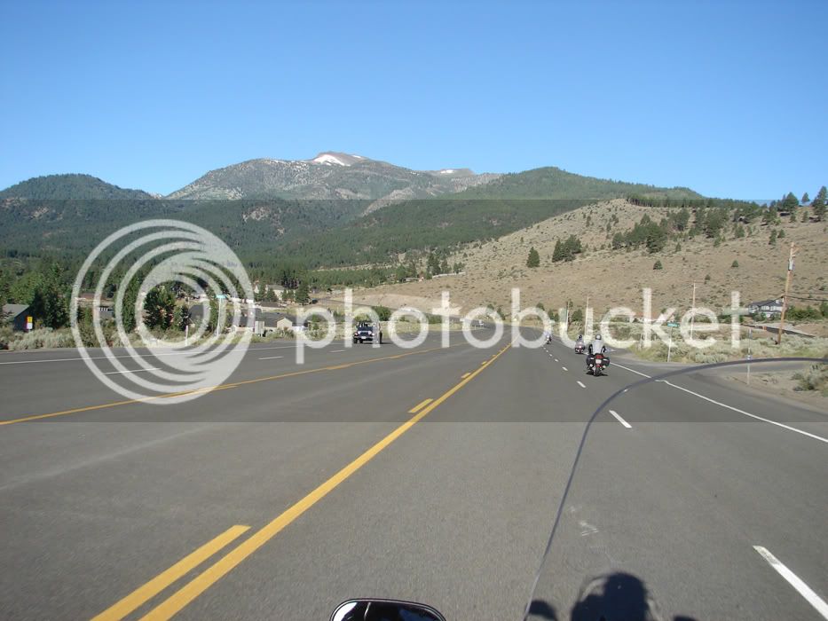
DSC05621.jpg


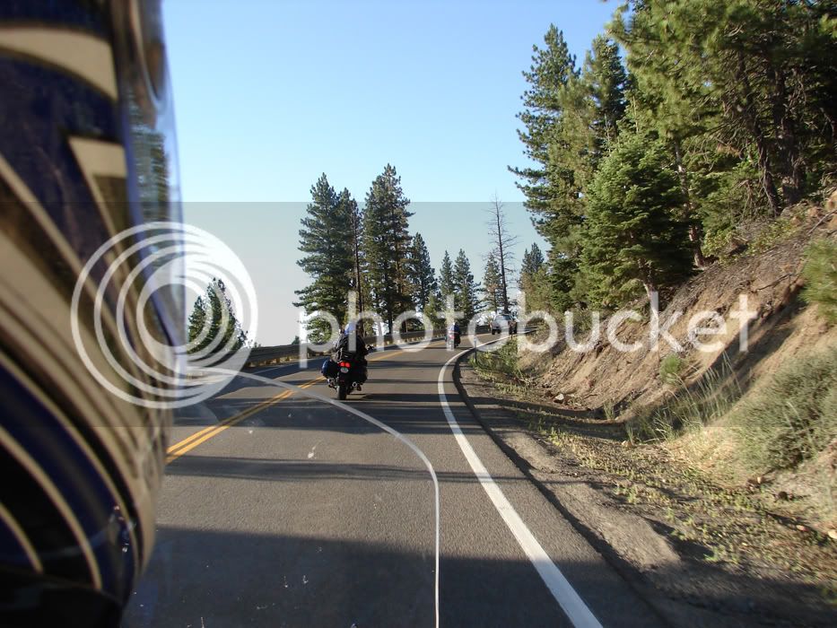
The road begins the climb. Within minutes we rise from a valley that hit 105 the previous day to heights on unmelted snow and chilly shade.
DSC05635.jpg


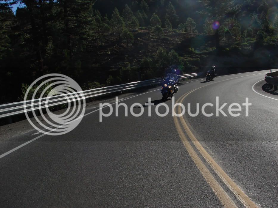
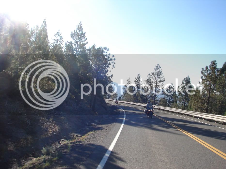
It was still early resulting in some nice sunburst photos
DSC05639.jpg


Riding in a ball of light?

DSC05642.jpg


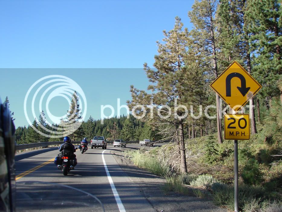
Nice turns essentially wasted by traffic
DSC05645.jpg


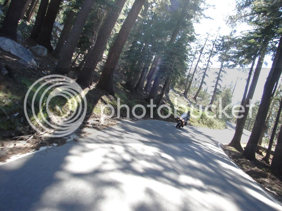
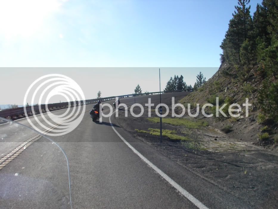
Finally, the cagers pulled over, or were passed and we had open mountain road.
DSC05661.jpg


More to follow

Mt Rose Road goes by a ski area, and a beautiful apine valley. You travel from desert to alpine color in a matter of minutes.
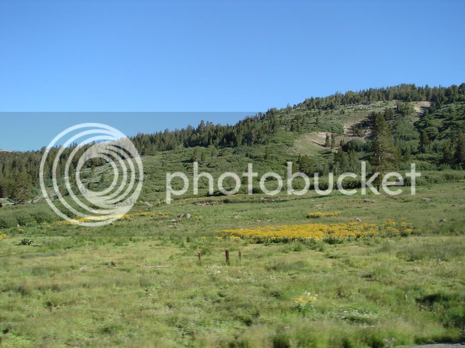
DSC05692.jpg


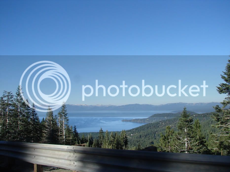
Once you've got over the top, the decent is pretty quick to views like this: Lake Tahoe
DSC05696.jpg


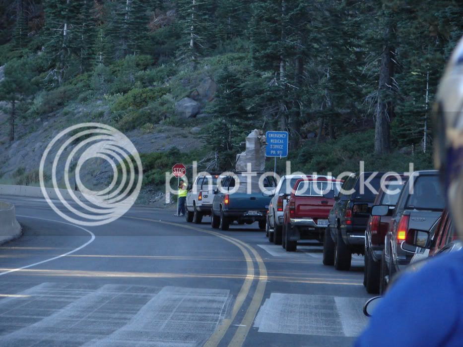
and with anticipation you descend until SCREECH!
DSC05700.jpg


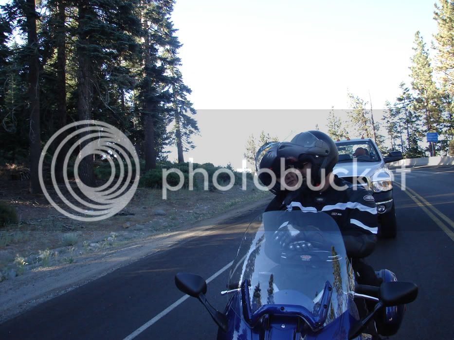
Luckily this didn't last long and was in the cool of the morning.

It also provided a photo opp

Hi FastJoyRide!
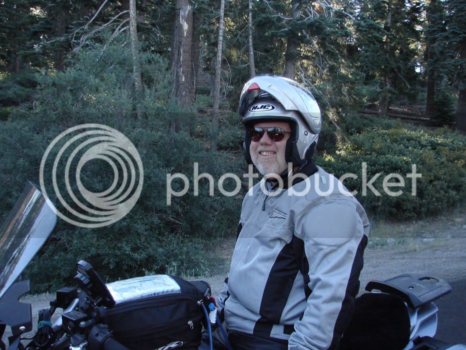
DSC05703.jpg


These two are Uber Kewl

DSC05704.jpg


Two ladies taking pics/video of each other
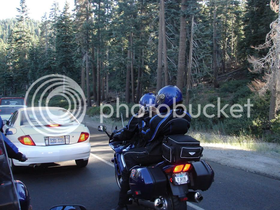
DSC05705.jpg


We cruised though Incline Village and hooked into US 50 West
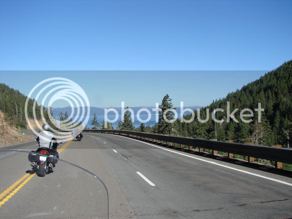
DSC05721.jpg


Nice helmet!

DSC05726.jpg


Then we hit 89 South over Luther Pass. I love Luther Pass. The Valleys it brings you to are some of the nicest I've ever seen and I'm like Johnny Cash...I've been everywhere man! :lol:
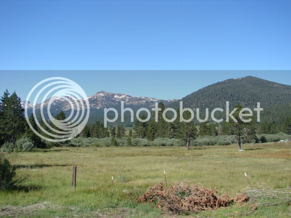
DSC05733.jpg


Turning right would take us to Carson Pass. I often come up to this intersection without clue which way I'm going to turn until I'm heading down the road. I'm always happy about my choice as both ways offer beautiful views and great roads. I also always have a slight wish I turned the other way, no matter which way I turned. Nice problem eh?
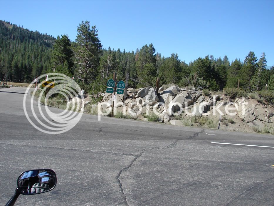
DSC05737.jpg


This picture looks West to Carson Pass
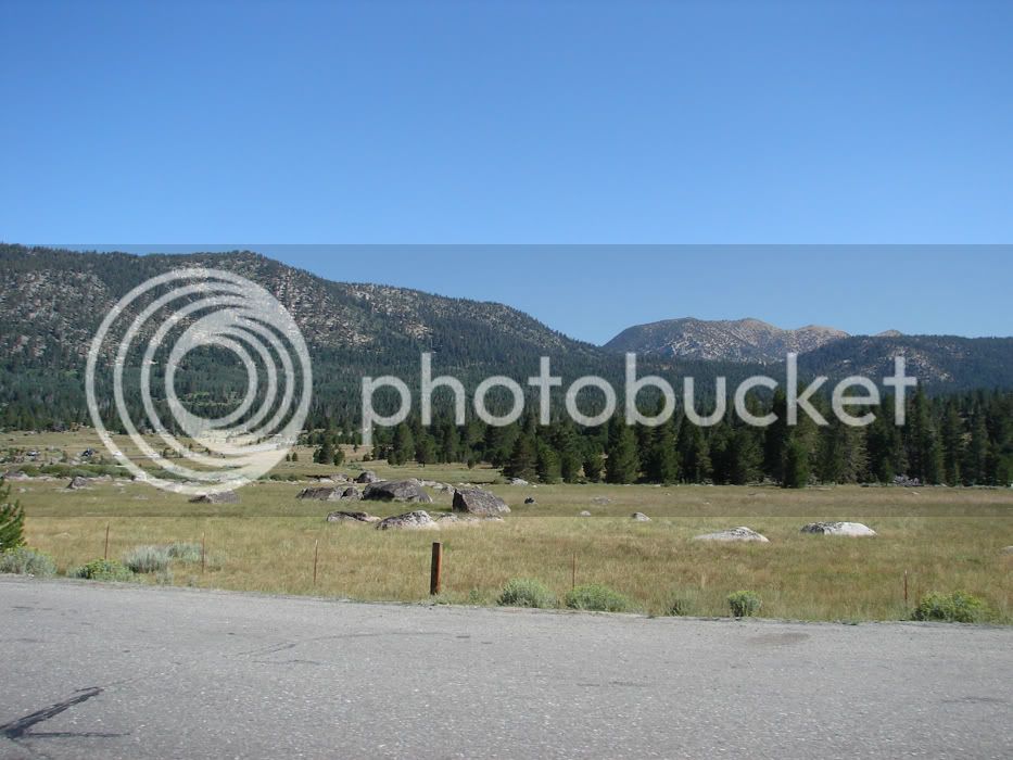
DSC05739.jpg


We turned left because Monitor awaits us.

We quickly caught a couple HDs
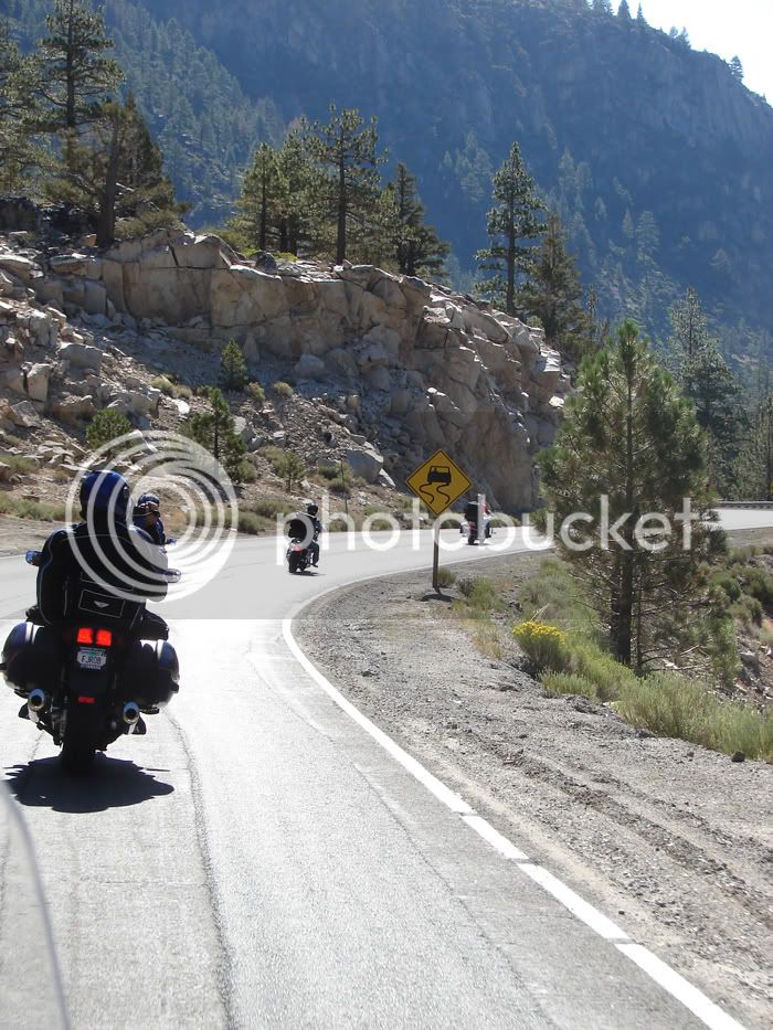
DSC05743.jpg


After awhile they eased to the right and waved us on
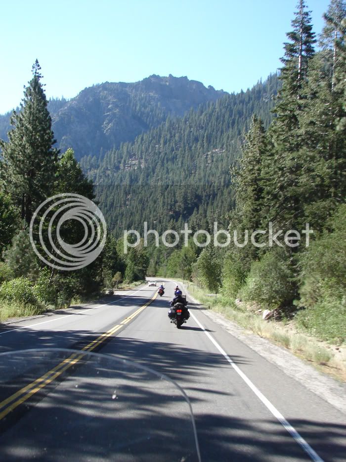
DSC05747.jpg


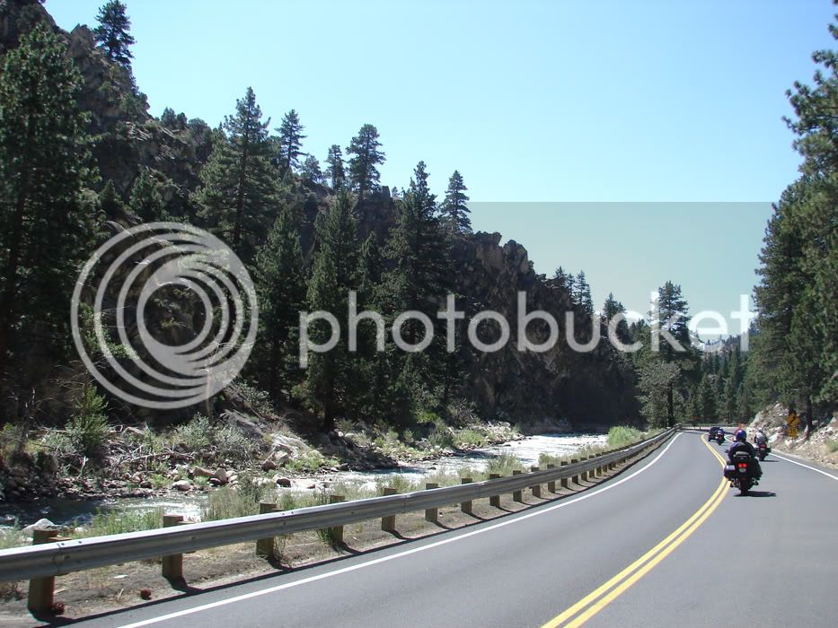
Soon we were past Markleeville and weaving next to Carson River
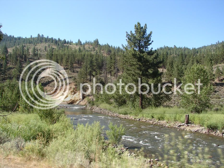
DSC05754.jpg


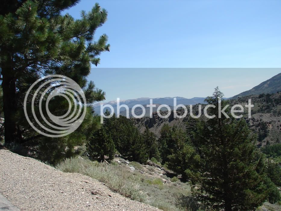
We are very close to Monitor Pass and the location of one of the views that makes humans feel very small.

 
Last edited by a moderator:
And that was just one of many spectacular rides at WFO-5.... for gorgeous scenery, the Sierra-Tahoe region kicks serious ***! B)

Awesome pics, Orange......

 
Dang, is the sky always so beautifully blue out there? :) Outstanding scenery Oval! R u gonna post anymore pics?

I could sure stand to do that ride someday! :bike:

Did anybody rent a boat and put some time in on that lake? It looks choice! :specool:

 
Yep, more pics coming. I haven't even scrathed the surface. Sherri too over 400 shots on this trip!

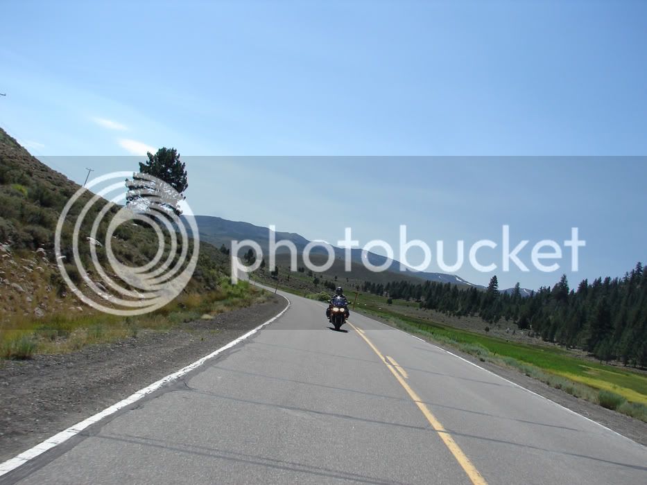
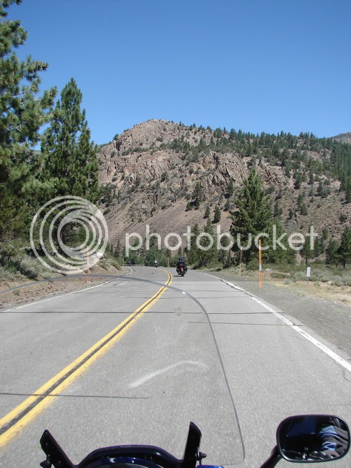
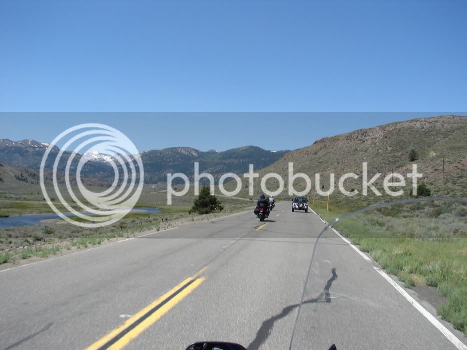
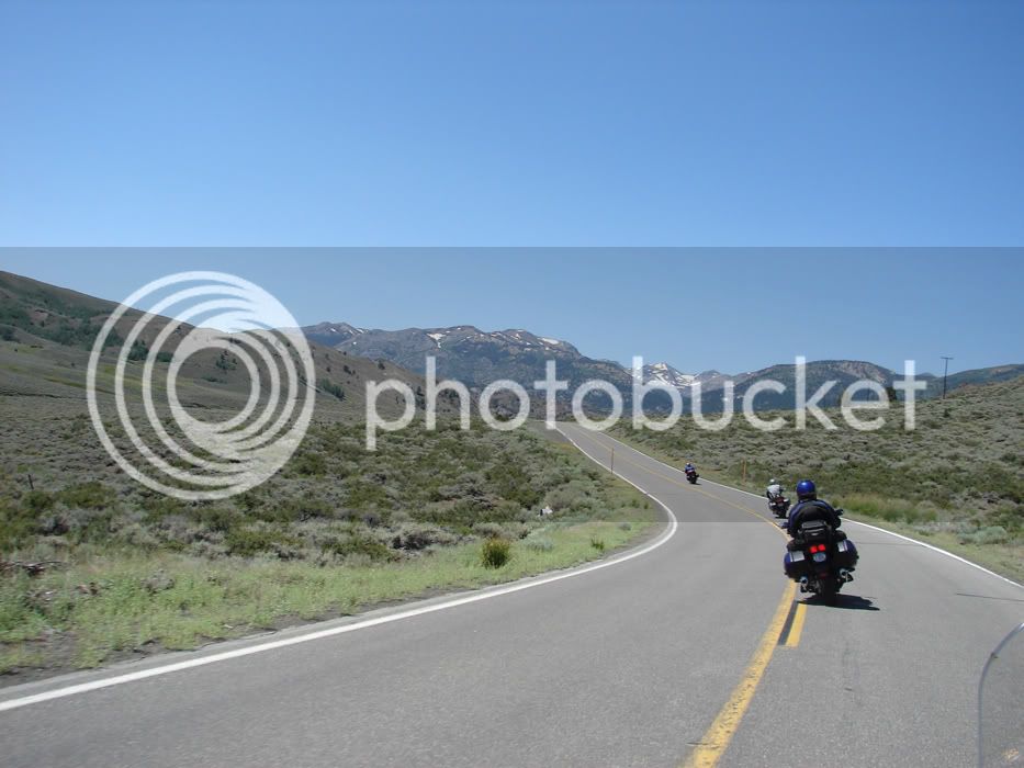
So I left off as we were approaching Monitor Pass. Monitor Pass is a great ride for various reasons. First, the road varies from high speed straights to fast sweepers to nice 'S'turns and back. There are a lot of passes like this in California so going out of your way for this one might not be something you want to do. You should. Why? There is a view from this pass that gives you a sense of being so high that I've only ever experienced this feeling in a jet, or on a 14k foot high peak! The view of 2 valleys below that are separated by a range that looks small in comaprison to your height is just incredible. No camera can capture this view. It's too big. But we'll throw up some pictures anyway ;-)

Enough words, let's look at Monitor.

It all starts without a lot of fanfare. Monitor just seems to be another road that follows a creek bed. The plantlife is colorful and diverse being the blend of desert and pine forrest. Pinion trees abound here. They take a LONG time to grow. Careful with flame please :)

DSC05755.jpg


The pace can be pretty fast trough this, and it's a lot of fun with some long views into turns.

DSC05761.jpg


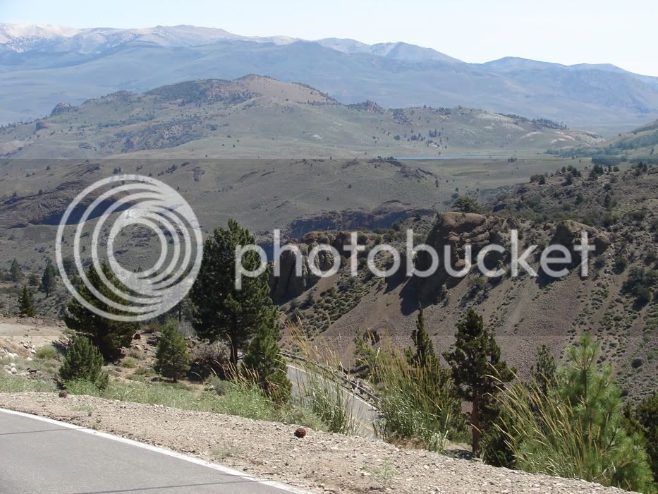
Then the earth seems to tilt suddenly as you look down on what drops your jaw the first and subsequent times that you see it. The view unfolds...

DSC05763.jpg


...

DSC05779.jpg


DSC05780.jpg


after this bend, you sense something, but you have no idea what is to come...

DSC05767.jpg


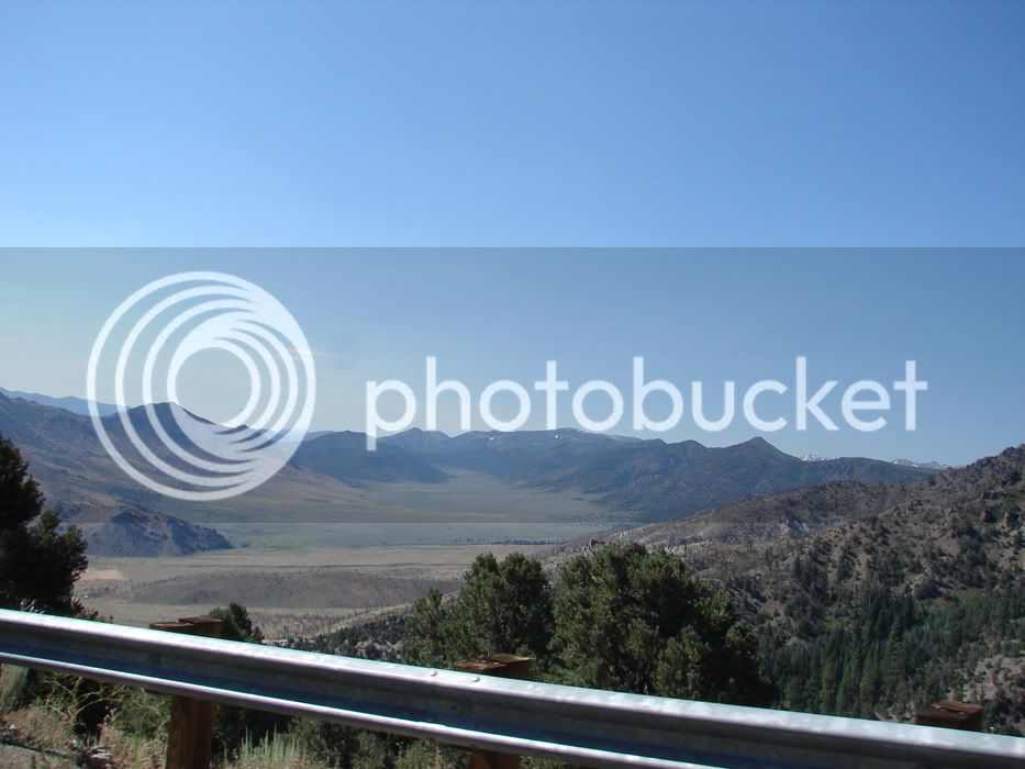
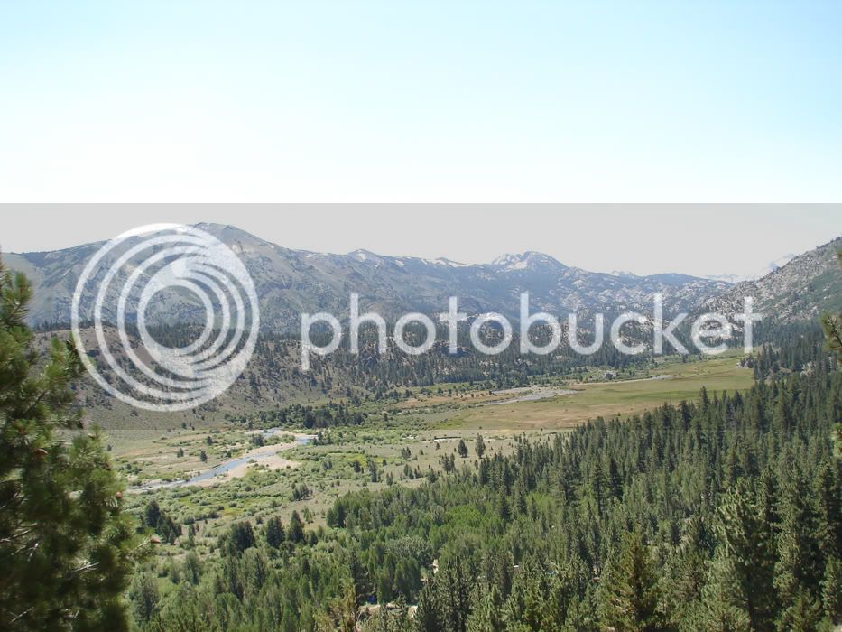
Then WHAM! The view is upon you. Here's half of it. To the left, there is a larger valley also backdropped by peaks and the sense of height and size just cannot be reproduced by camera. I'll go up there and pick a good spot and stitch some shots together one day, but let's face it; some things have to be seen in person to enable us to grasp the splendor. Then, there are views like this one that always have you striving to grasp the splendor, but you just never quite feel like you can. Perhaps this view was created for eyes better than ours, or for someone with greater vision. Maybe I just have to go up there and meditate and live amongst it for a longer period of time. I guess what I want is for you to understand that you should go see this if you haven't yet. I am so passionate about this, you can stay at my house and I'll ride up there with you if you need to economize (free lodging and food as long as I don't get flooded by WFO 05/#2 :lol:

DSC05034.jpg


Let's go check out 108, Sonora Pass...

 
Last edited by a moderator:
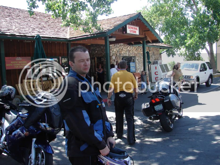
Before Sonora, we took a gas break in Topaz. This station was busy and it took a long time for us all to gas up and take care of business. Here's a view of a rider, apparently not expecting a picture, and apparently eager to go, but realizing that we'll have to wait as people are far from done here...

DSC05786.jpg


Don't I just look sad? Well, we got on the road after a bit. Topaz is North of where Monitor and 395 T off. The scoot North brings you by a nice lake and is a hoot of a ride if nobody is in the way and no performance awards are given out. This time we were slowed by cars. Better than a ticket!

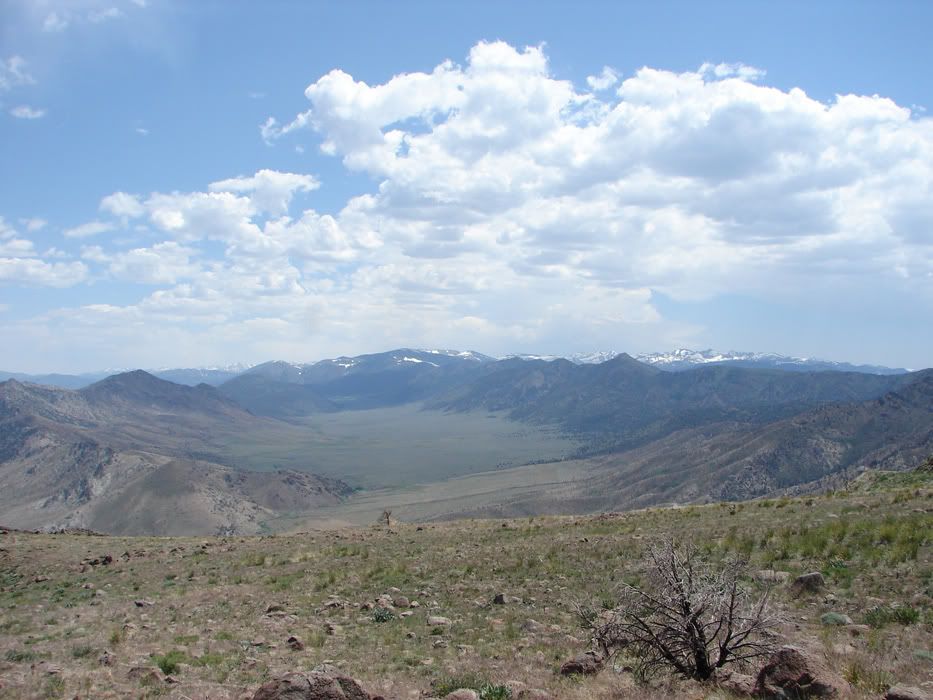
Going down 395 you realize that you are in the view that was previously amazing you from Monitor Pass. Here's the view from a lower level

DSC05788.jpg


So this ride isn't completely about technical stuff...

DSC05790.jpg


DSC05791.jpg


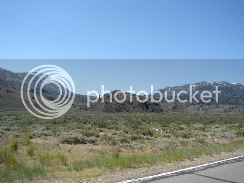
Classic Western views of sagebrush, pinion trees and rocky outcroppings

DSC05792.jpg


Yet another river to follow :) I like water.

DSC05793.jpg


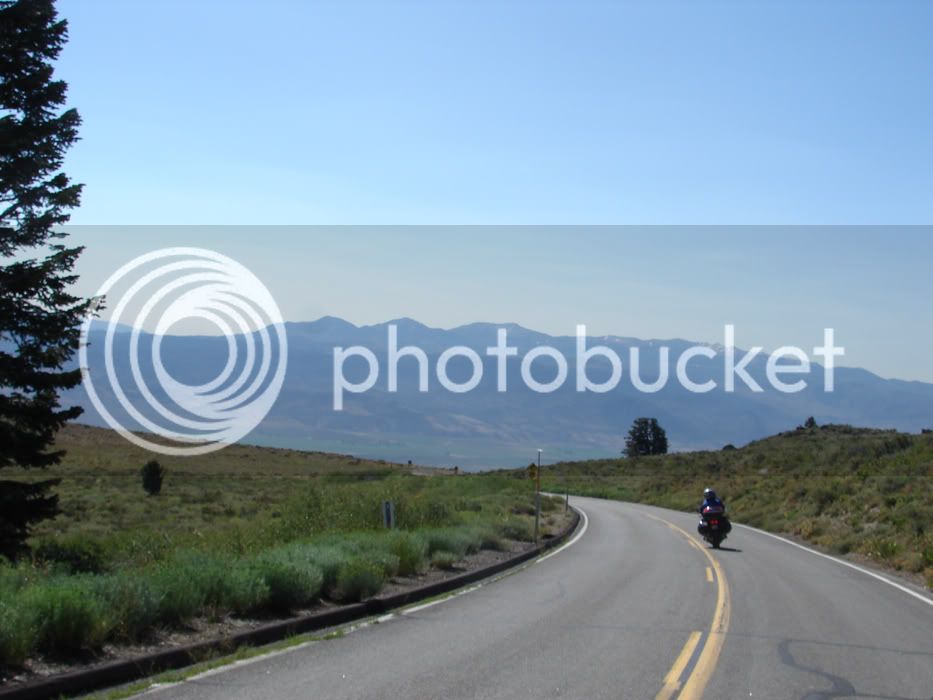
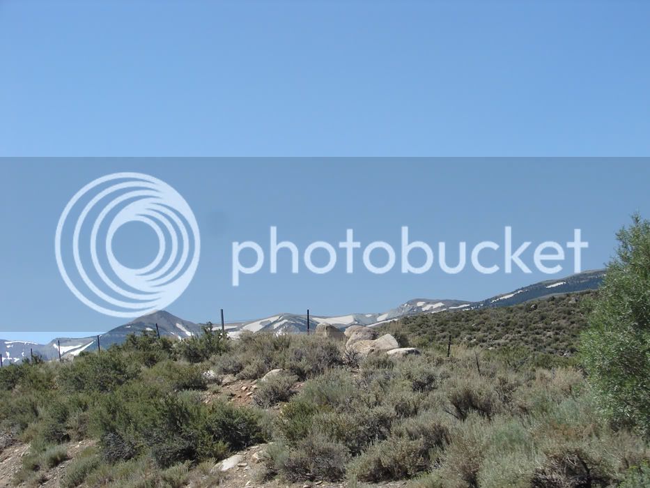
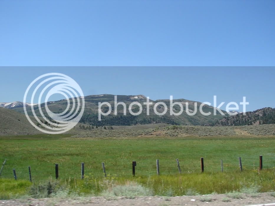
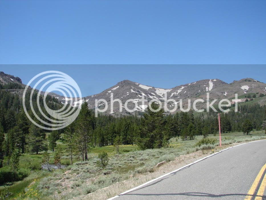
I love the views from a hot desert valley up to snow melting on the not so far away mountains

DSC05800.jpg


Another 395 shot

DSC05803.jpg


Sonora is close!

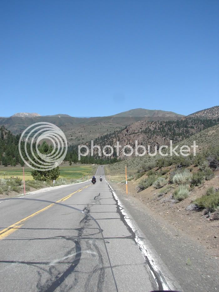
108 starts with a straight run as it aggressively heads toward the mountains.

DSC05804.jpg


Some photos provide a sense of open air, open roads and come close to capturing the feeling of 'bigness' that you can get when you ride.

DSC05806.jpg


As we enter the foothills, the turns being to sway us one way, then another.

DSC05807.jpg


Oops! I was enjoying the view and the guys are taking off! Time to downshift and catch up!

DSC05811.jpg


There...made it

DSC05813.jpg


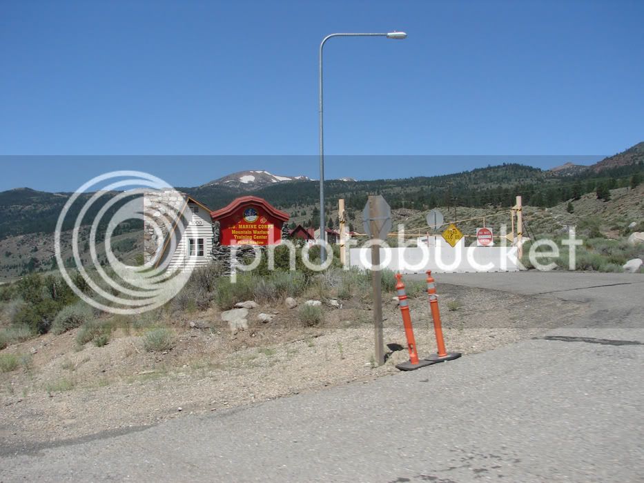
The Marines train up here.

DSC05815.jpg


These foothills are nice. Just one nice view after another. As we cruised through here I wasn't too eager for this ride to progress. At so many points I just wanted to stop and go wander.

DSC05817.jpg


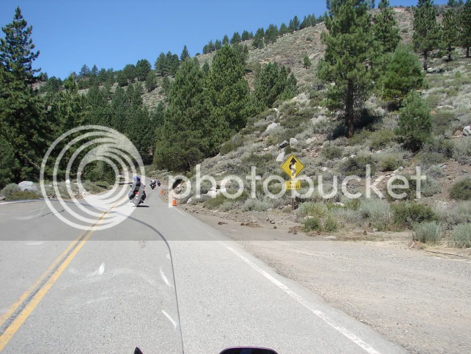
Then signs like this make going forward a LOT of fun. Twisties next 24 miles. Nice.

DSC05820.jpg


You always look like that. If Publishers Clearing House just told ya they emptied their bank account for ya, that same hang dog look would greet the news. It simply is.... :p

 
We're still at the beginning of the twisties on 108 Westbound over Sonora Pass...

How do I select these photos that I share? It isn't easy. There are so many cool shots that you all just don't even get a fraction of them. I try to select photos that bring back feelings from the ride. If I see a photo and remember the feeling I had when I was riding there, I figure that maybe the reader can get something from it too!

DSC05830.jpg


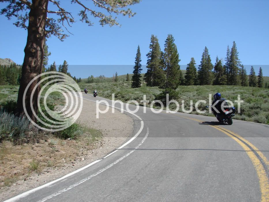
I tend to like multi-bike pics

DSC05831.jpg


and as we go further West and climb in altitude, the views change and so do the trees

DSC05833.jpg


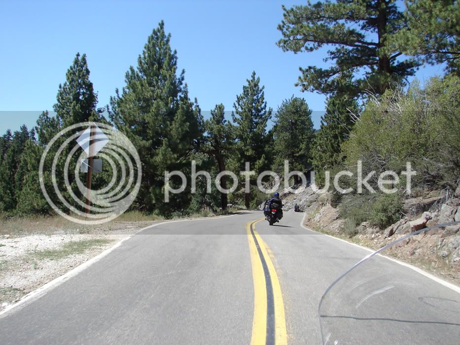
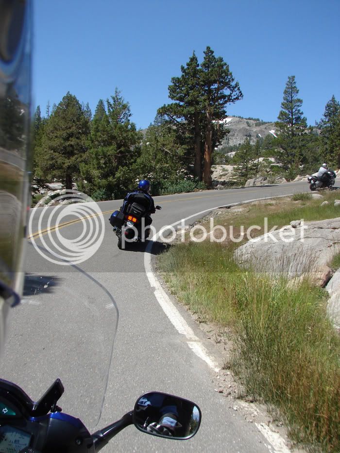
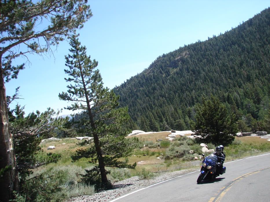
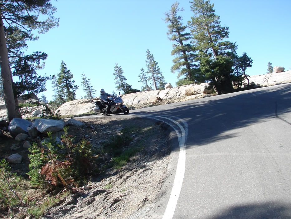
Sometimes, just one bike will do it. The snaking road behind, the granite, the plants, the blue sky...Uber Kewl sweeping up our group:

DSC05839.jpg


The first time I rode with fjROB, he was new to the FJR coming from a cruiser. Between then and now, I can tell he's been chasing his son around the hills near Grass Valley! His son Anthony rides a SV650 (upgraded from a Ninja 500). Rob is angling that FJR around turns very well with great lines into the turns and good acceleration out.

DSC05844.jpg


Now, Sherri was snapping off pictures like there was no tomorrow. The next two shots are in quick succession looking in different directions and the disparity of the view is kinda mind boggling. This just is further proof that one picture cannot capture the real sense of what is around.

1)

DSC05846.jpg


2)

DSC05847.jpg


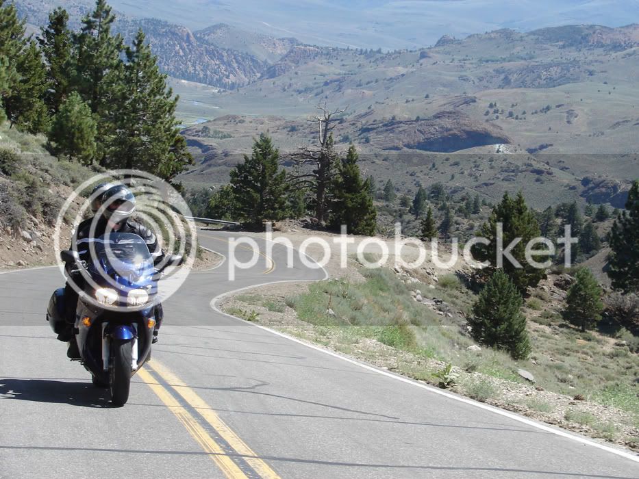
and look at this road! Too fun!

DSC05854.jpg


more to come...

You always look like that. If Publishers Clearing House just told ya they emptied their bank account for ya, that same hang dog look would greet the news. It simply is.... :p
Well, no wonder people are always asking me what's wrong :rolleyes:

Here's a view from the top of one of those tight hairpin turns that gain altitude quickly

DSC05855.jpg


Action shots are fun too

DSC05866.jpg


yep

DSC05871.jpg


The views keep changing.

DSC05882.jpg


and the group is making good time

DSC05884.jpg


This pass rocks

DSC05898.jpg


DSC05901.jpg


DSC05904.jpg


Phew...I snuck three pics in there without a word!

Action

DSC05905.jpg


and yet more variety of scenery. Is this just one pass???

DSC05906.jpg


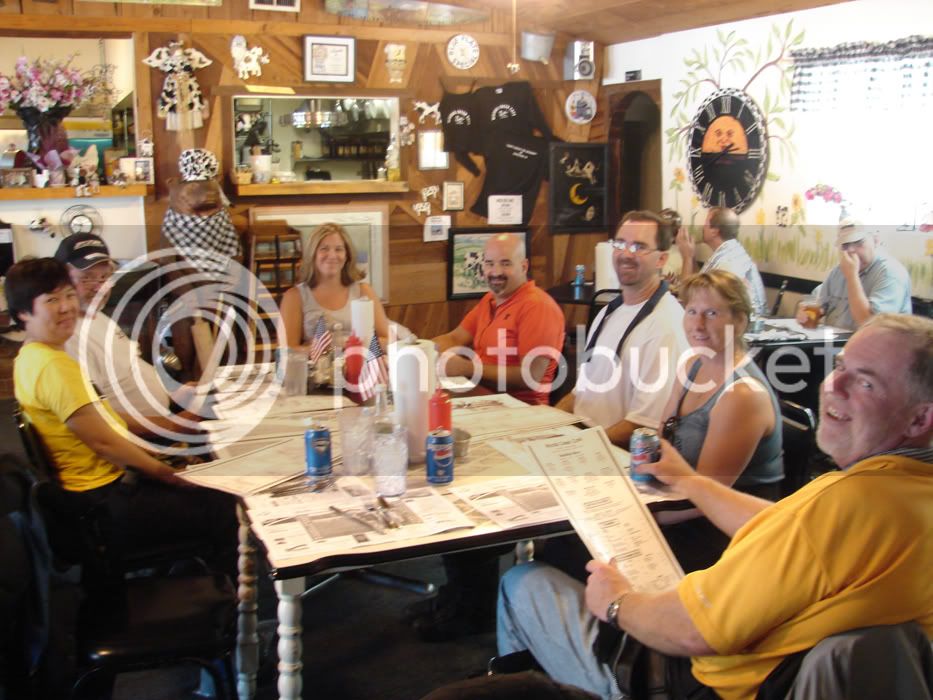
Time to eat! From Left to Right:

Cindy & Steve (Bluestreek), Terrie & Rob (fjrROB), Brad and Kristy(sp?)(Uber Kewl), and David (FastJoyRide). Missing: Me and Sherri

DSC05910.jpg


I'll come back later and finish up with our run from lunch to 4 and then Ebbett's pass...I have to do work.

Dang, is the sky always so beautifully blue out there? :) Outstanding scenery Oval! R u gonna post anymore pics?I could sure stand to do that ride someday! :bike:

Did anybody rent a boat and put some time in on that lake? It looks choice! :specool:
The sky is pretty killer anytime you are at altitude IMO. If you want to see clouds, this normally ain't the place. However, this year there are more clouds than usual because of the deep snows we got in the winter. There is more water in the ground, more snow melting, and higher lakes and rivers all resulting in some mountain thunderstorms from time to time as we learned a few weeks earlier on a ride where we were pelted by dime diameter hail :lol:

People rent boats at Tahoe all the time. They aren't cheap.

Come on out, I'll BBQ for yah.

 
So far, this ride has taken us over passes through rugged country. The roads are all in fairly good shape, but with the excess water from 55 feet of snow melting, there are numerous areas where sand, gravel and small rocks have been washed into the road. Unfortunately, water takes the easiest path, which is often across turns. Water doesn't care that the road turns, it likes to go directly to its destination! Be careful on these roads.

Other concerns to look out for:

-bicycles

-cars passing bicycles and coming into your lane

-large vehicles coming into your lane (stay away from the center line!)

Further into this ride, we get up to a pass that doesn't have a center line, The road is essentially a lane and a half wide and people like fishing and camping up there so don't think the road is all yours!

Okay...preaching off and pictures on. We left lunch and took a shortcut to 4, thereby skirting around Angels Camp with a fun road that took us by some resevoir and the road had some name, neither of which I am familiar with. Uber Kewl will have to fill in the details here. I just followed him.

DSC05912.jpg


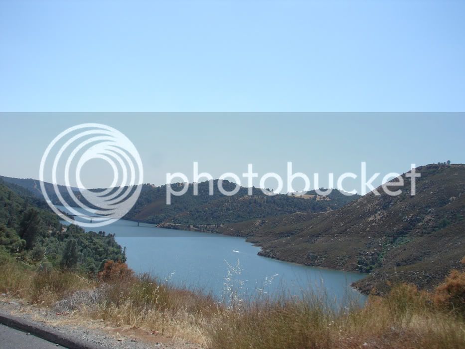
We rounded a corner for a view of this resevoir.

DSC05916.jpg


Now we are approaching the pass from the West instead of the East and you can see the difference in flora.

DSC05917.jpg


You can also see the difference in traffic :(

DSC05918.jpg


Sherri took a picture of this jerk that wouldn't use a turnout.

DSC05922.jpg


Heading toward Alpine Lake

DSC05926.jpg


The center line is now gone

DSC05929.jpg


Nice shot!

DSC05942.jpg


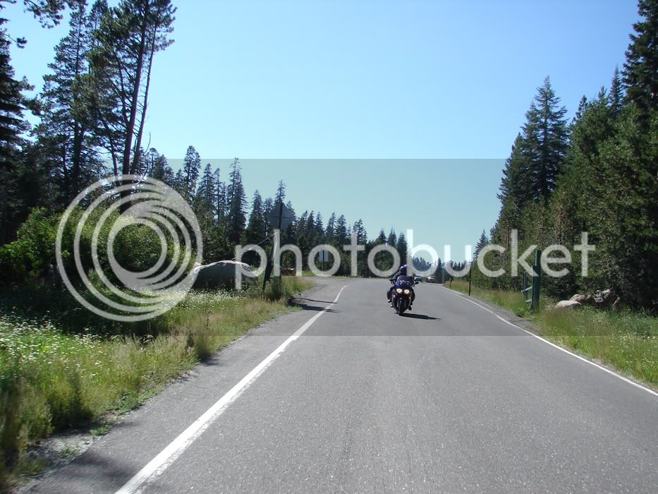
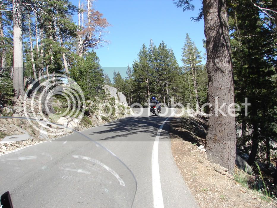
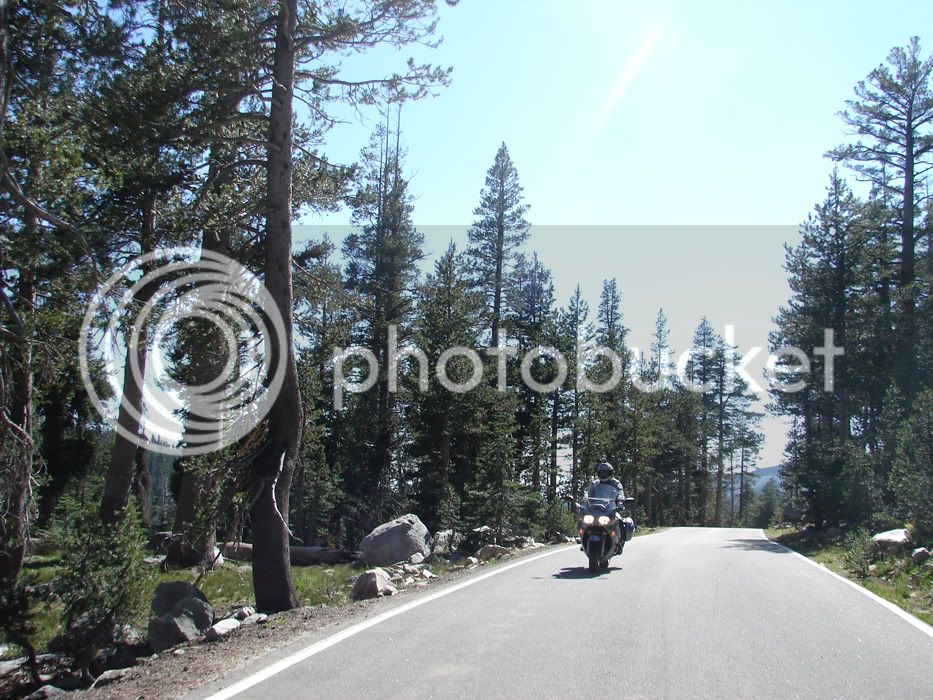
This pass is so fun, and the scenery is great with the forrest coming right to the edge of the road

DSC05970.jpg


At the start of this ride, heading West, the sun was behind us. Now, heading East, the sun is behind us yet again. It was a fun day!

DSC05972.jpg


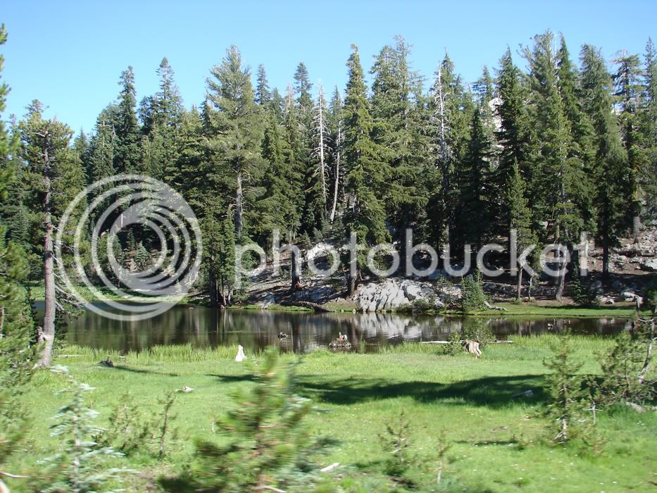
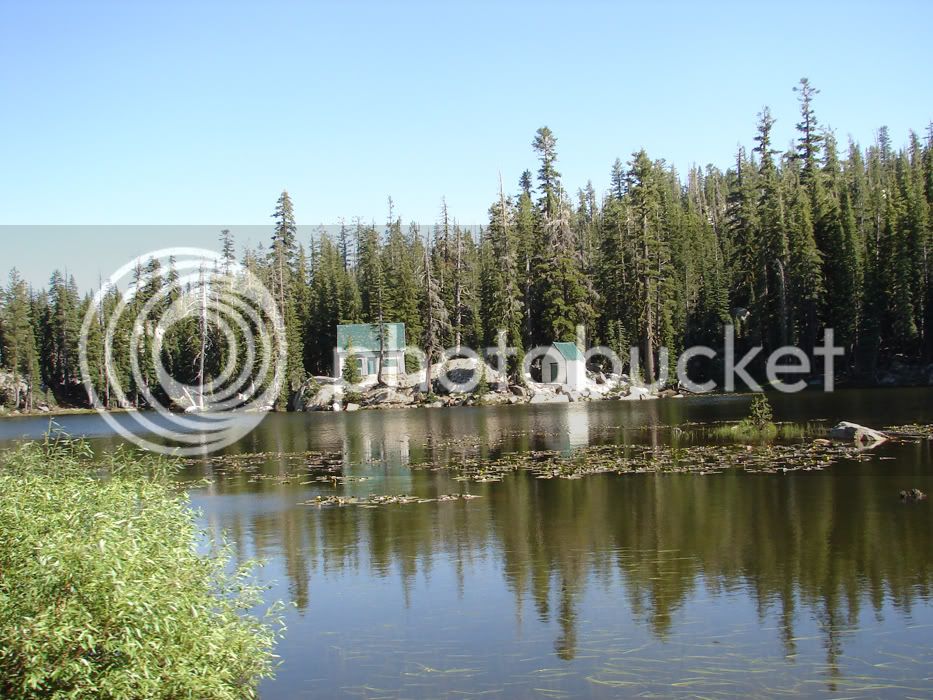
I think this is called Mosquito lake

DSC05973.jpg


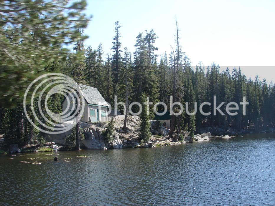
Some old cabins. On the Pashnit site, I saw a post from a guy whose grandfather took a picture from this angle in the early 1930's

DSC05979.jpg


DSC05982.jpg


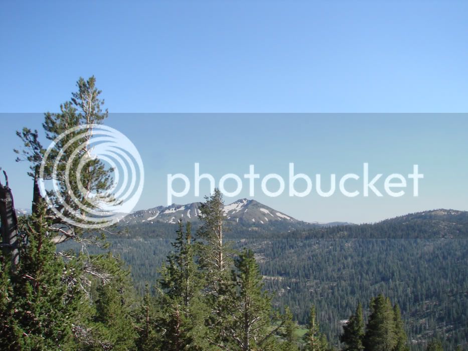
Once you climb enough, there are views

DSC05984.jpg


The earth tilts here

DSC05994.jpg


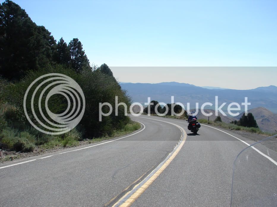
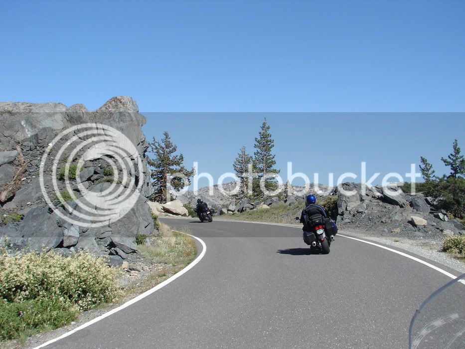
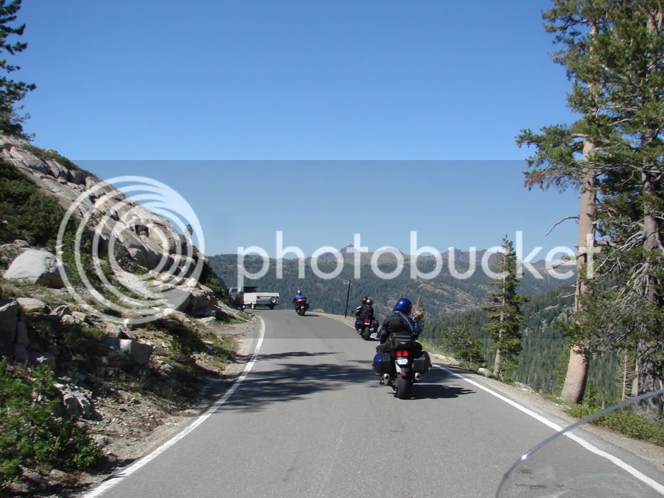
The road rises, falls, turns, sweeps, straightens and then repeats in random order

DSC05998.jpg


DSC06000.jpg


This is the last photo of the day. Both 512 memory cards were full

DSC06005.jpg


Great Pics OrangevaleFJR !!! that HWY 4 (Sonora Pass?) is just great. I didn't know such roads existed that went for so many miles with that kind of curves. I'm very glad I made it to WFO finally.

 
Great Pics OrangevaleFJR !!! that HWY 4 (Sonora Pass?) is just great. I didn't know such roads existed that went for so many miles with that kind of curves. I'm very glad I made it to WFO finally.
89 = Luther Pass then Monitor Pass

4 = Ebbett's Pass

108 = Sonora pass

Tie them together between Monitor and Sonora Pass with 395 and on the other end tie Sonora to Ebbetts with 49 (or some secret road that Uberkewl knows about).

There are plenty of long and windy roads!

 
Wow. What fantastic pics. Thanks for taking your photographer along for the ride.

 
Last edited by a moderator:
I was feeling bad about not taking a camera for this trip.. silly me. I have you and JG to take much better pix than I ever could and the narration is best..

Thanks. Sincereley.

 
Hey O'vales!

You guys ROCK!! :clapping: :clapping:

Thanks for the beautiful piccies and great commentary...

I appreciate your time, talent & efforts as always.

 
Sounds like a winner Oval, thanks for the invite! :) Followed toecutter’s “route directions” on the map. Wish I could have been there! Beautiful weather, outstanding scenery, and marvelous machines; would love to make that ride! There is hope for next year. :bike:

 
Don't know why I bother to bring my camera. Your shoots are great.

Anyone wanting to go on a ride like this give me a holler and I will show you some roads you won't soon forget.

 
89 = Luther Pass then Monitor Pass4 = Ebbett's Pass

108 = Sonora pass

Tie them together between Monitor and Sonora Pass with 395 and on the other end tie Sonora to Ebbetts with 49 (or some secret road that Uberkewl knows about).

There are plenty of long and windy roads!
Could the "uber-secret" route be Parrotts Ferry Road? It leaves Hwy 49 at Columbia, over the tail of New Melones Lake and joins Hwy 4 @ Vallecito.

 
Last edited by a moderator:
89 = Luther Pass then Monitor Pass

4 = Ebbett's Pass

108 = Sonora pass

Tie them together between Monitor and Sonora Pass with 395 and on the other end tie Sonora to Ebbetts with 49 (or some secret road that Uberkewl knows about).

There are plenty of long and windy roads!
Could the "uber-secret" route be Parrotts Ferry Road? It leaves Hwy 49 at Columbia, over the tail of New Melones Lake and joins Hwy 4 @ Vallecito.

ding ding ding!

That's it. You win.

Bluestreek. I'm hollerin. Let's go!!!

Don't know why I bother to bring my camera.
Heh...I thought you brought your camera as a roving forum fashion critic with focus on hair styling. :lol:

You were supposed to take a couple pics of Sherri and I...oh wait...what did I just ask for!?!?! :unsure:

 
Those pics look hauntingly familiar... probably because I saw all of them about an hour before they were taken! Those roads kicked serious buttage...

We had John leading our small group, and he skipped the Parrot shortcut... will have to make sure to take it if I'm ever there again!

Nice photos Sherri! :clapping:

 
Last edited by a moderator:
Top