Bridges of FJR County

Yamaha FJR Motorcycle Forum

Help Support Yamaha FJR Motorcycle Forum:

This site may earn a commission from merchant affiliate links, including eBay, Amazon, and others.
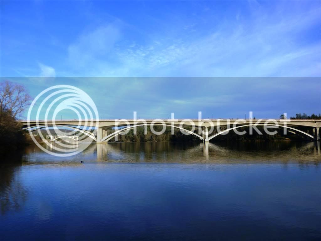
I liked my shot of the Rainbow Bridge in Folsom better, but won't double up on the new Natomas Crossing.

bridges039.jpg


Hwy 49 crosses the American River just north of Coloma near Lotus Road.

bridges057.jpg


The Coloma Bridge at the Marshal Gold Discovery site on the American River. The heart of the gold rush.

bridges063.jpg


Chile Bar on Hwy 193

bridges067.jpg


The California Poppy is the state flower. Unfortunately, these were on a very steep slope, and after snapping the picture, I found myself on a on-way slide down.

bridges071.jpg


And was again the victim of a sharpshooter.

bridges072.jpg


Taking Rock Creek Road to Mosquito is a favorite of mine, and it was fun to share it with Mike for his first time out there. Not an official bridge, but photo-worthy.

bridges073.jpg


Crossing Rock Creek, a tributary to the South Fork American River.

bridges077.jpg


Mike on the Mosquito Bridge over South Fork.

bridges083.jpg


What a gorge

bridges086.jpg


Very cool pictures Tom!
clapping.gif


I really like this one! Very Japanese Tea Garden Waterfall typish...

bridges073.jpg


Last edited by a moderator:
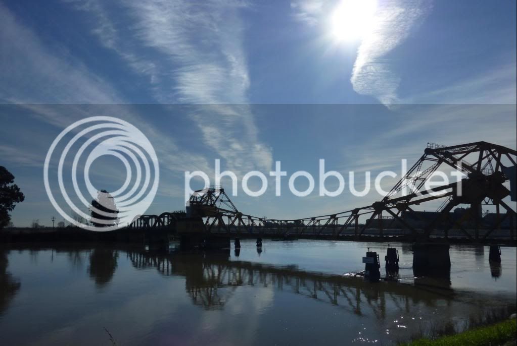
Bridge to Brannan Island in the Sacramento River Delta.

tylerislandbridge.jpg


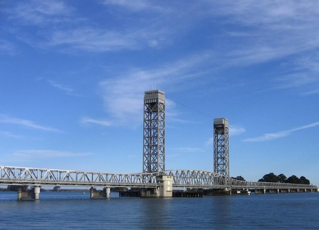
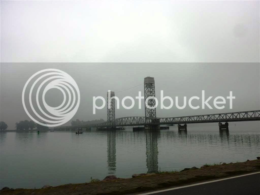
Rio Vista Bridge

riovistabridge.jpg


P1020155Large.jpg


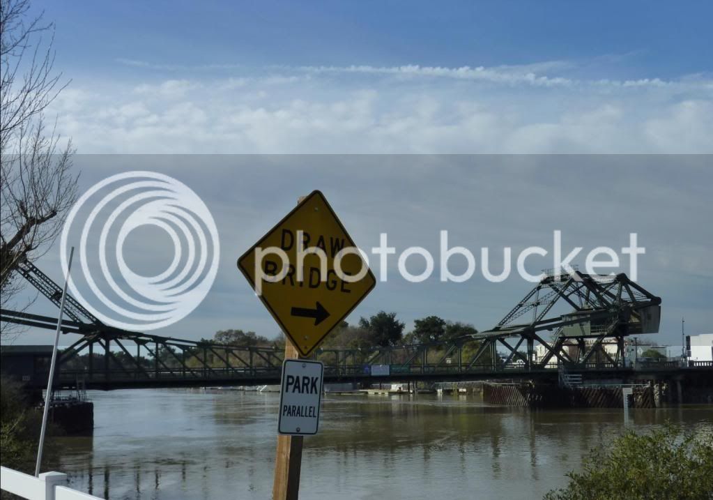
Bridge on Hwy 160 in the Delta past Isleton.

bridgeto1602.jpg


Walnut Grove Bridge in the Delta.

WalnutGrovebridge2.jpg


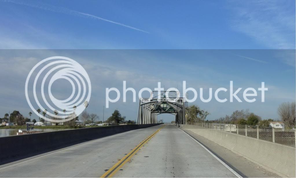
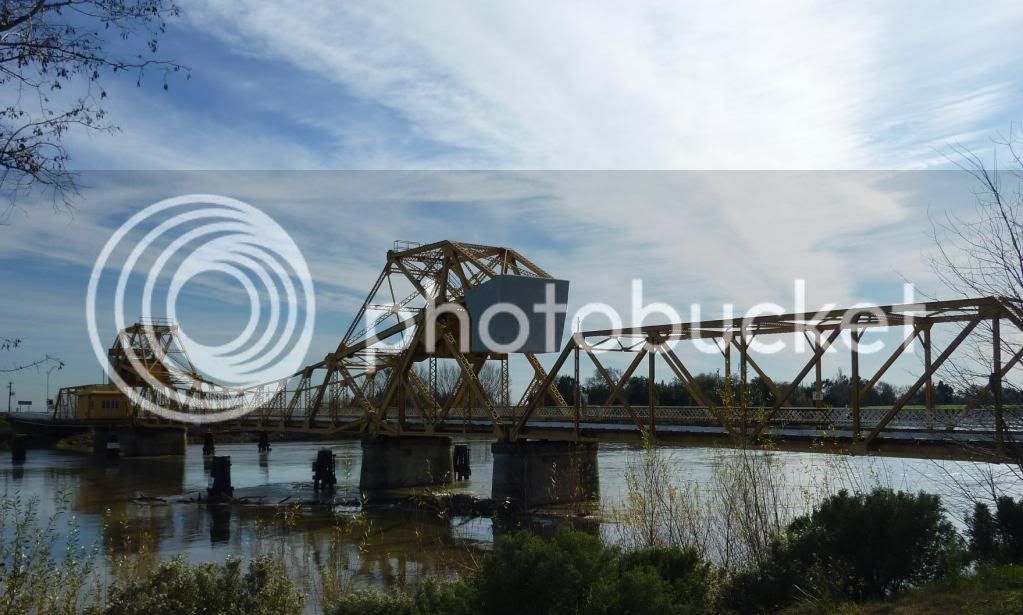
Bridge near Courtland in the Delta.

courtlandbridge2.jpg


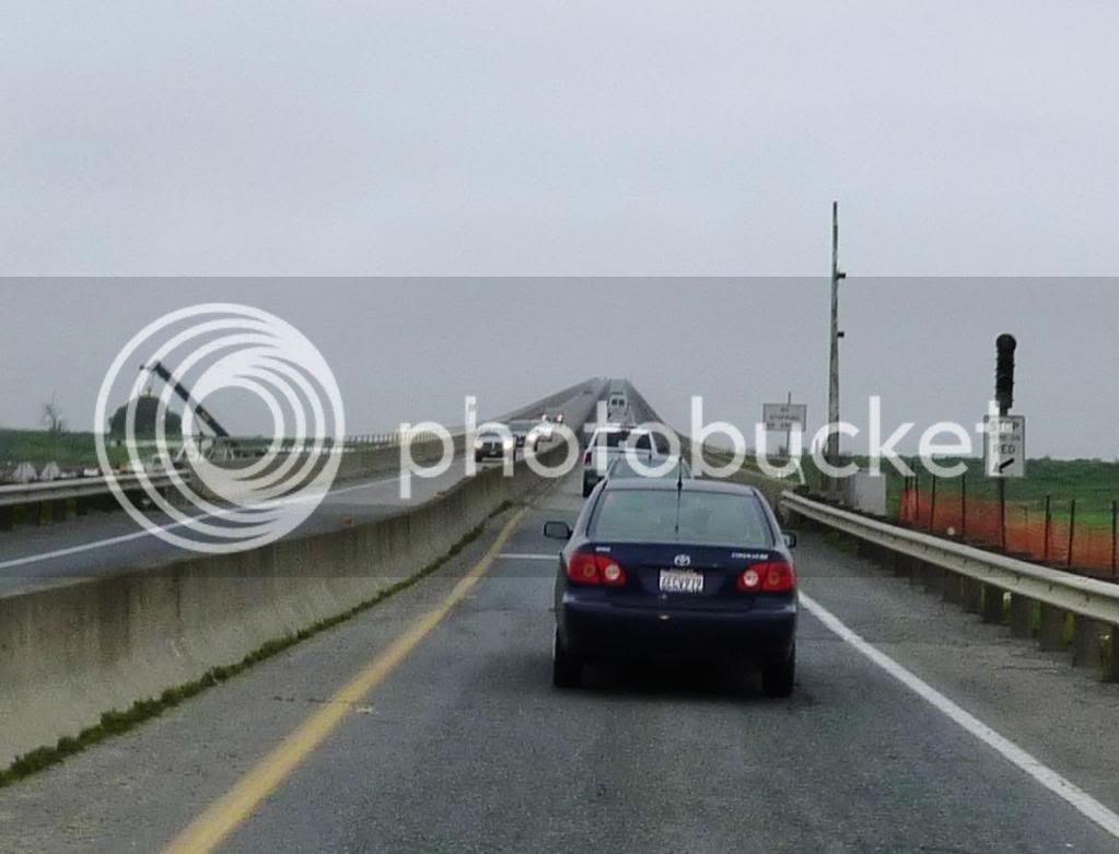
Bridge to nowhere....actually the Bridge to Antioch.

P1020161Large.jpg


The Sacramento Tower Bridge.

IMG_0022.jpg


The Natomas crossing bridge in the foreground and the Old Folsom Bridge in the background.

28jpg.jpg


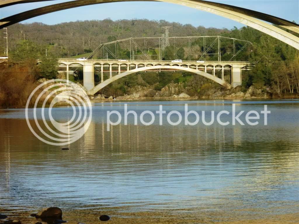
A closer look at the Old Folsom bridge with the arches of the Natoma Crossing bridge as a frame. You can also see the bicycle bridge in the background behind the Old Folsom bridge.

27jpg.jpg


Last edited by a moderator:
This is our famous Floating Bridge in Brookfield VT. Unfortunately it is closed to car traffic now. It was a blast to ride over. Last time I rode over it the water was probably covered a good third of your tire. Keep moving was the mantra of the day.

2975198200094472708S600x600Q85.jpg


Willie

 
You did NOT just call those noble Canadian Geese "ducks"!!!
You did NOT just call those noble CANADA GEESE "Canadian Geese"!!!

Around here we call them pate'. Road fodder. j/k...they don't really migrate around here but just hang around in large numbers all winter spring and summer and shit everywhere. Some local lakes hire Swans and Swan handlers to come in so the swans can come in and kick their ass. Otherwise, walks around the little lakes end up with a large amount of green crap on your shoes and pants. They also are good for mucking up football fields where the little guys get tackled in "goose crap". mmmm, good.

Seriously though MM, I am loving this thread. I will have motivation on some summer's day and evening to head out on our blessedly straight roads and see if I can spot a few isolated bridges for this thread.

Good idea MM!!

 
Seriously though MM, I am loving this thread. I will have motivation on some summer's day and evening to head out on our blessedly straight roads and see if I can spot a few isolated bridges for this thread.
That was the idea, Mark! I've wanted to plan a ride around the bridges in our local area and, on the way home, I got to thinkig that there are bridges all across this great world we live in. Different styles, different generations, different materials, but all have thei own unique personality and purpose. (I mean...er...they all lead to or from someplace!

It will be an interesting exercise and education to see the pictures and read the stories others will add here.

 
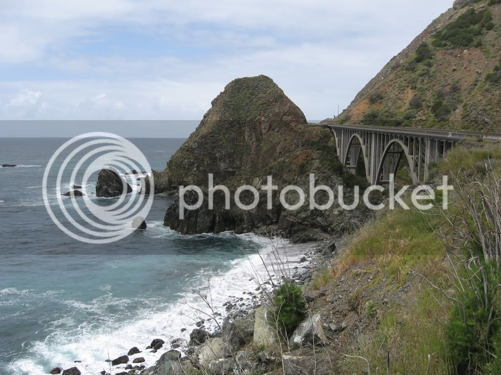
Rocky Creek Bridge. CA Coastal Hwy 1.

IMG_3092.jpg


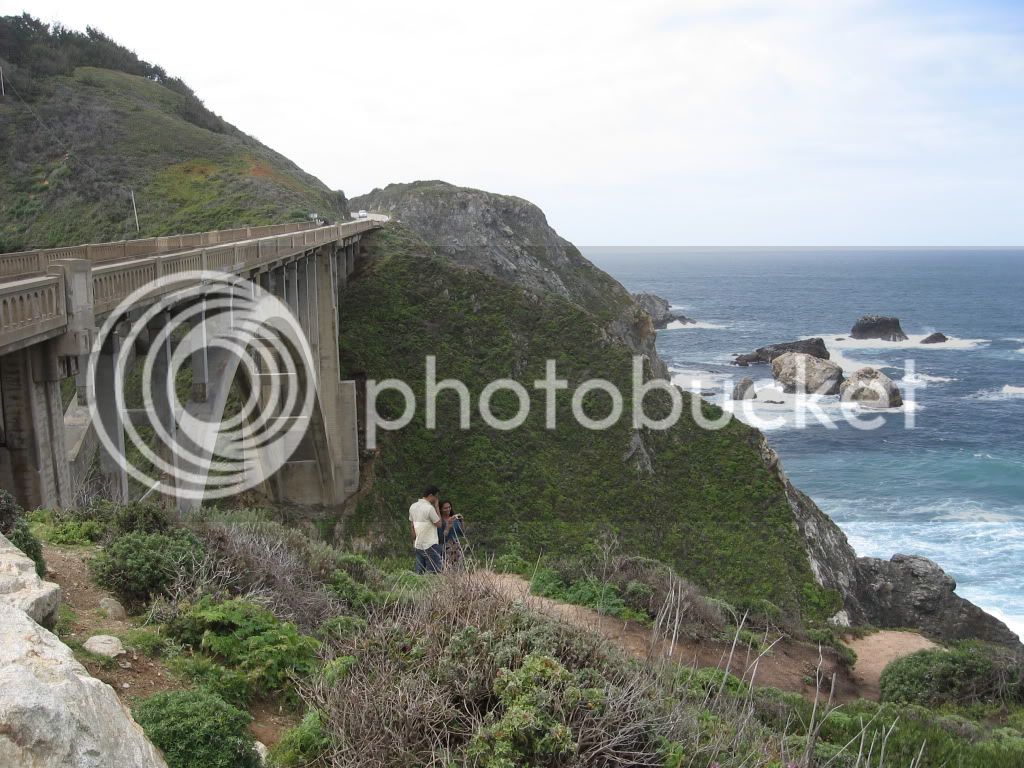
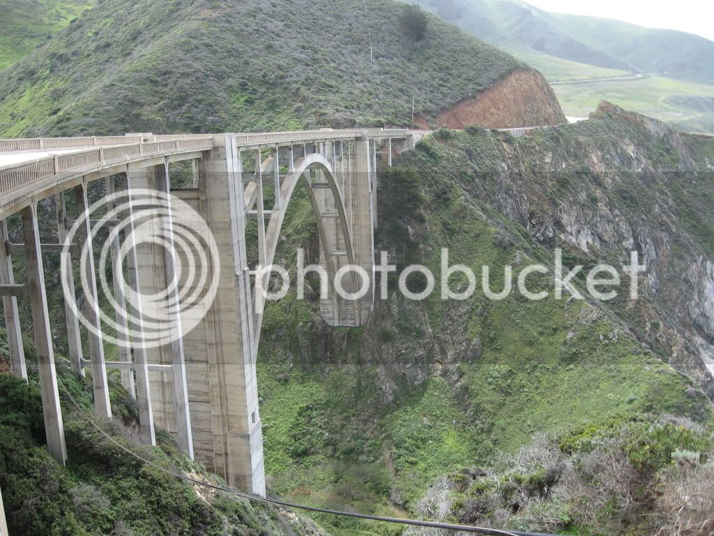
Bixby Bridge. CA Coastal Hwy 1.

IMG_3104.jpg


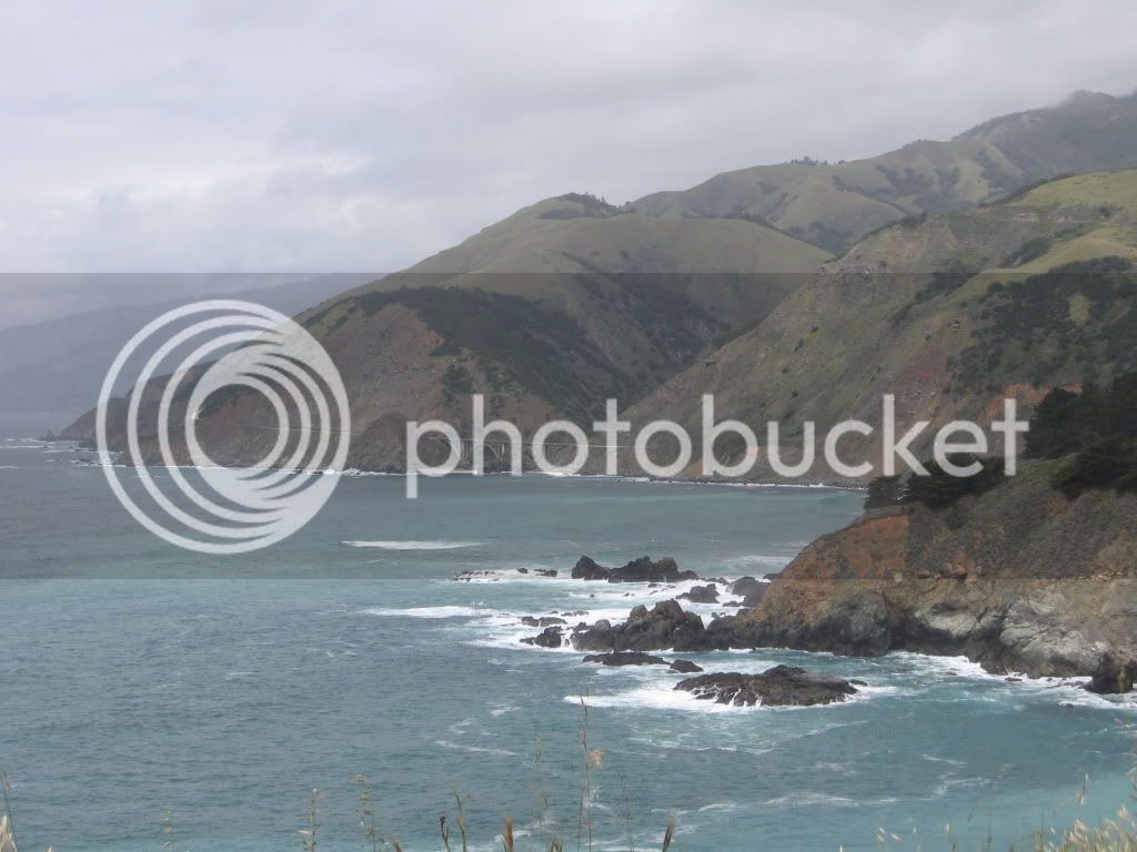
CA Coastal Hwy 1. Unsure of the name of the bridge.

IMG_3115.jpg


IMG_3119.jpg


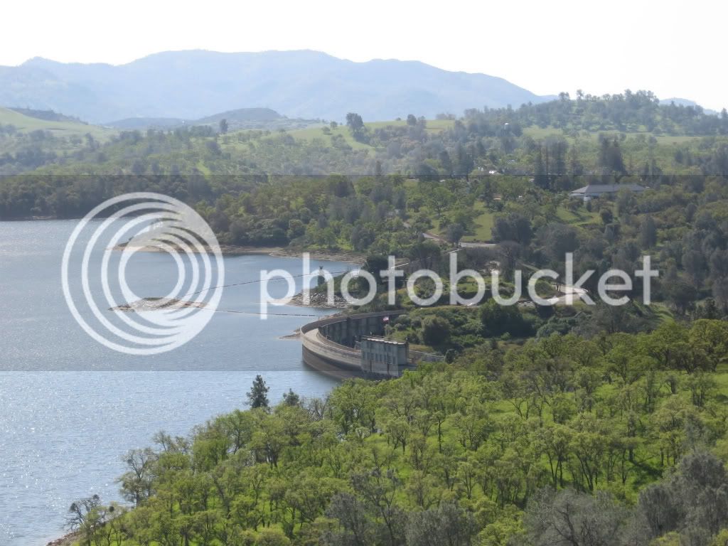
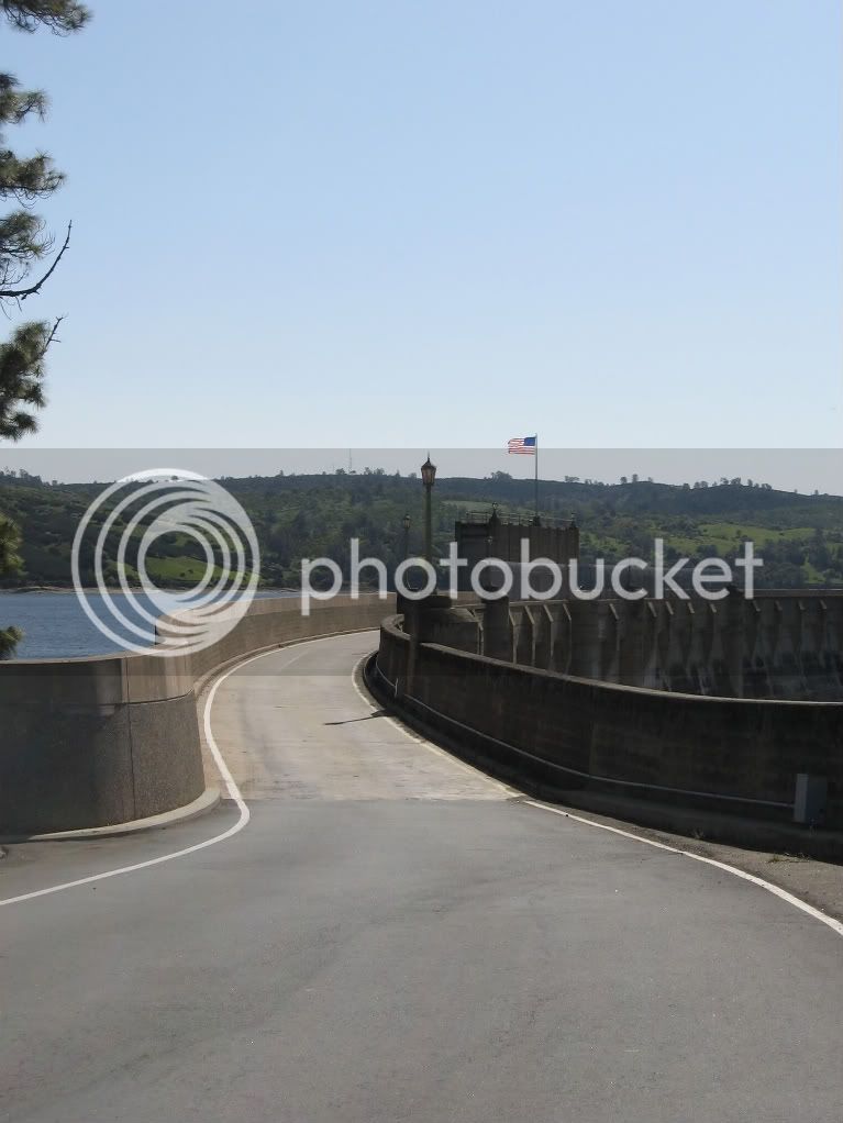
Pardee Dam and I suppose bridge...

IMG_2926.jpg


IMG_2939.jpg


Last edited by a moderator:
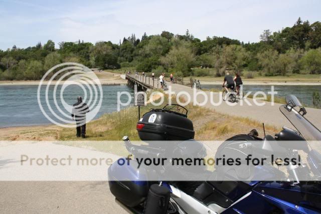
PCA Bridge. Built by PCA gravel company with they used to mine sand and gravel along the banks of the American River. Now it is used as a pedestrian/bicycle bridge. During the Spring snow melt/run-off, this bridge is under water.

036-1.jpg


Leaving Rancho Cordova we rode through Fair Oaks and took Winding Way to Hazel Avenue.......

All (or, most) photos @ My Photobucket Album
You guys were here !! :eek: Sheesh, ya should have called us to take a coffee break, we might just have been at home :)

Great thread :clapping:

 
You guys were here !! :eek: Sheesh, ya should have called us to take a coffee break, we might just have been at home :)

Great thread :clapping:
Yeah...yeah...that's what you always say. Afterward!!! :p

We prolly should'a could'a called but why ruin a perfect record of NOT calling, huh? Besides, now you know how close we were and how much you missed us! :rolleyes:

 
Oh Boy, fun thread - thanks Mikey.

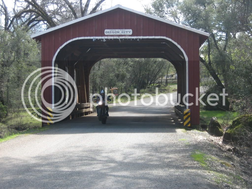
Oregon City, Ca covered bridge with a bit of a wheelie from my bud's Tuono

IMG_0003.jpg


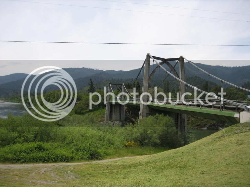
Salmon River rd. -Trinity Alps area

IMG_0053.jpg


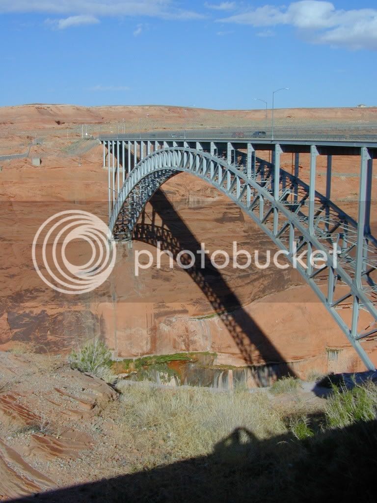
Ok Let's get out of Ca. Here's Page Arizona

Arizonatrip036.jpg


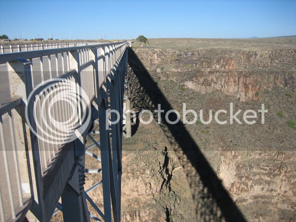
Rio Grande Gorge after SWFOG 2010

SWFOGSept172010240.jpg


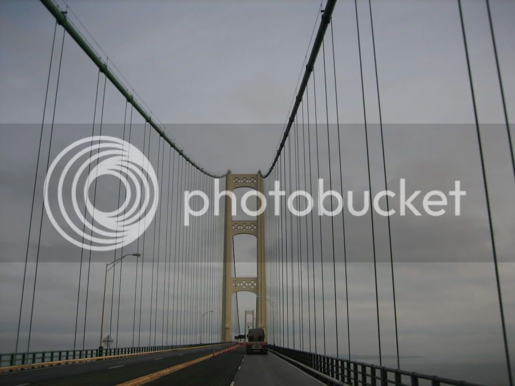
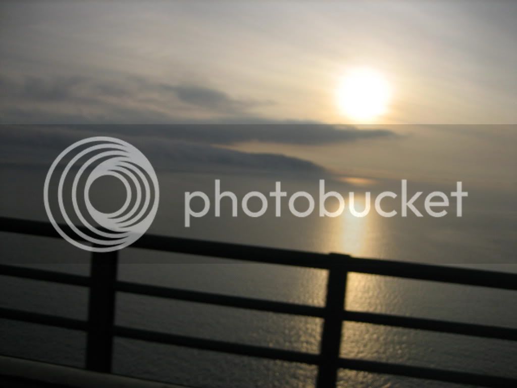
My favorite, the mighty Mackinac Bridge in Michigan after CFO 09

IMG_0202.jpg


IMG_0207.jpg


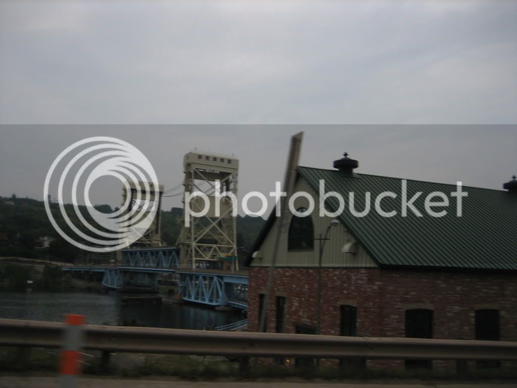
Houghton, Mi

IMG_0247.jpg


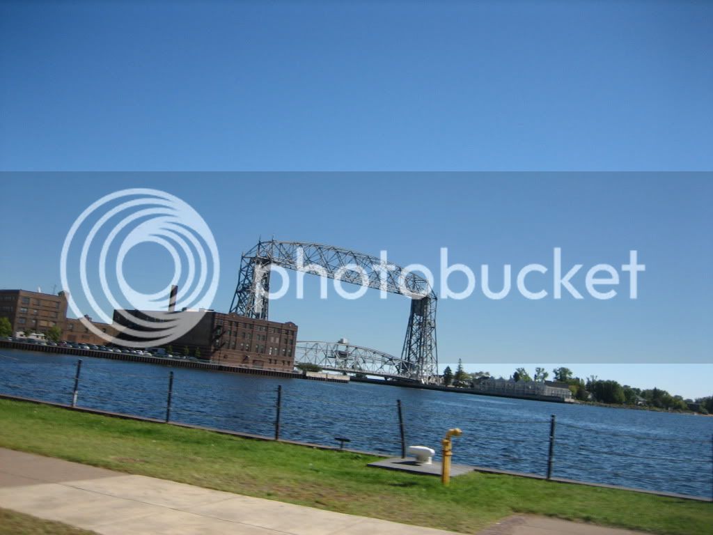
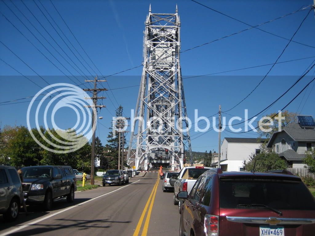
Duluth Minnesota Aerial Bridge

IMG_0409.jpg


IMG_0414.jpg


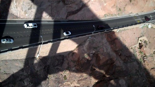
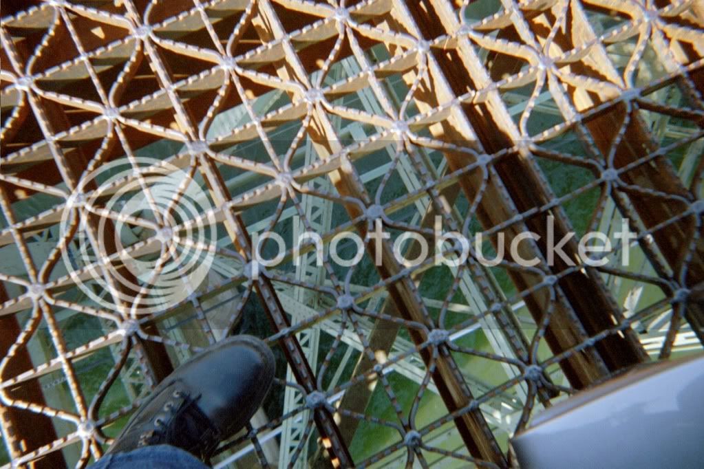
Just for fun here's the Hood River Bridge crossing the Columbia River looking down through the grated roadway. I was stopped on the bridge during construction.

IMG012.jpg


Last edited by a moderator:
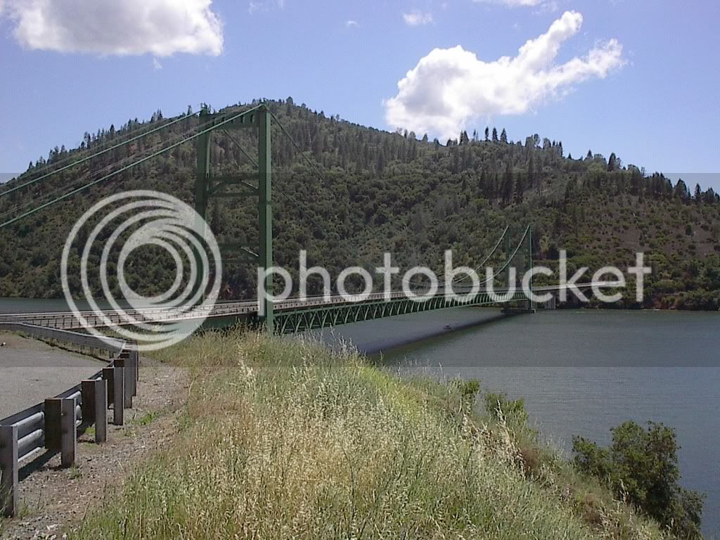
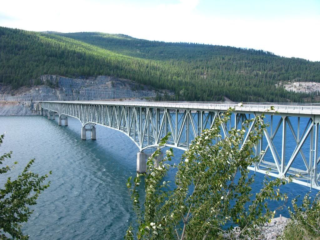
Gerry.GEG, that Western Montana bridge is the Koocanusa Bridge that crosses Lake Koocanusa along Hwy 37 between Libby and Eureka Montana.

This bridge is the tallest and longest in Montana. It spans the entire width of Lake Koocanusa, giving access to the Amish community on the west side and the Yaak Valley [and the Dirty Shame Bar] in the northwest portion of the Forest. The elevation is 3,000 feet.

 
Last edited by a moderator:
Top