Just a few local bridges, then a story about the first one. The first five pics are from today.
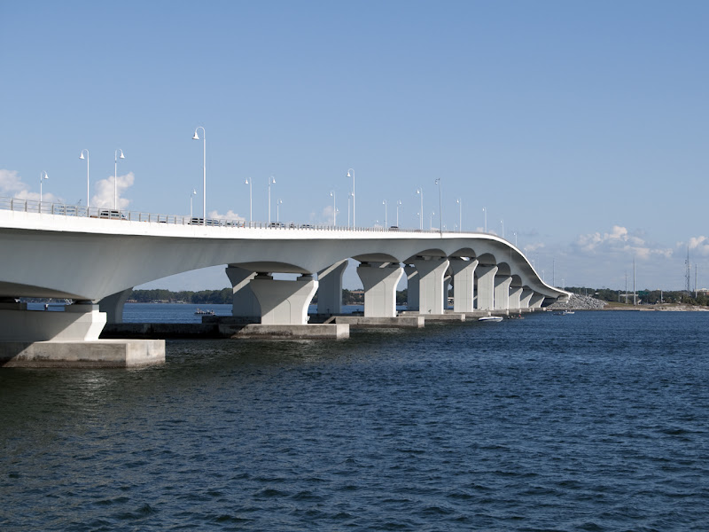
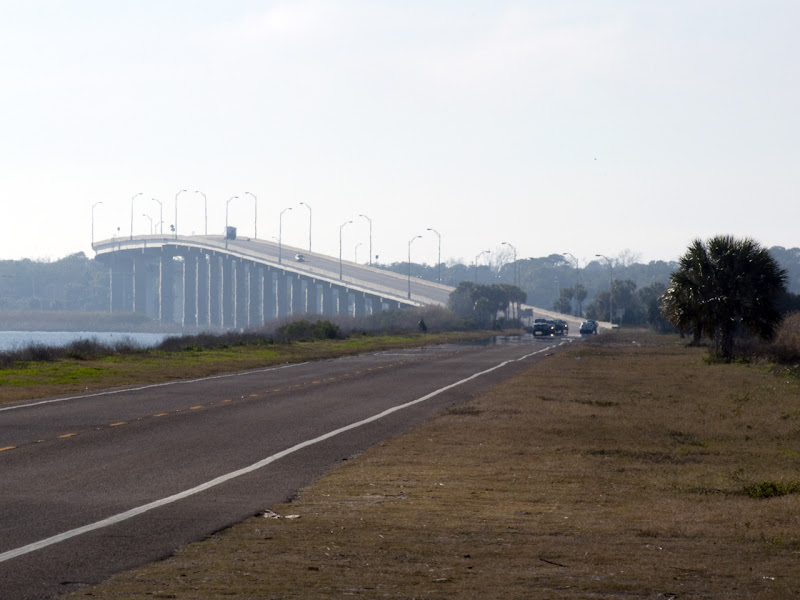
Hathaway Bridge, US 98 across St. Andrew Bay:
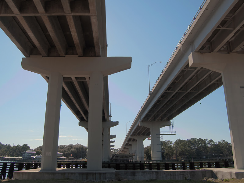
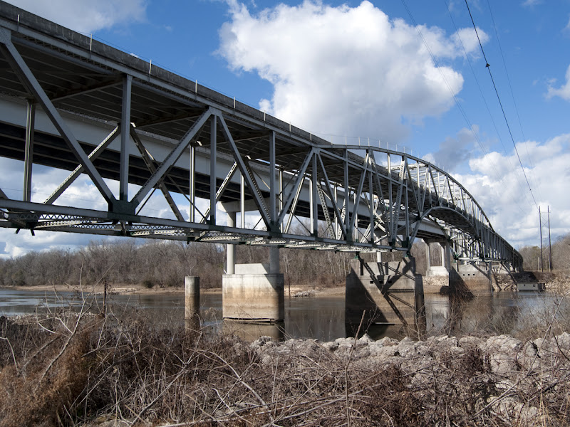
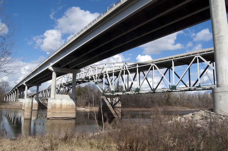
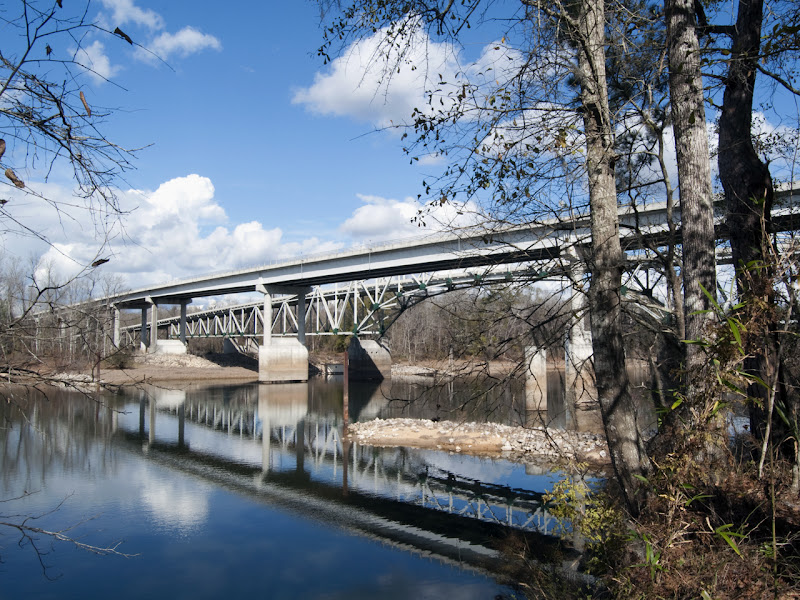
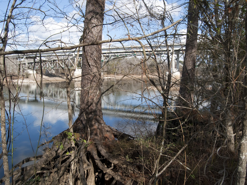
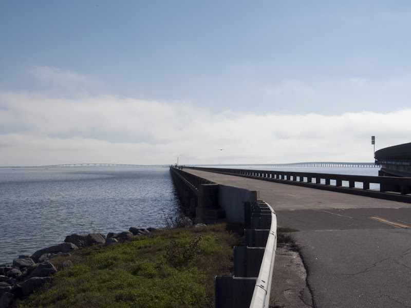
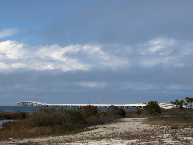
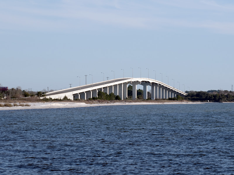
This is SR79 crossing the Intracoastal Waterway. Low in the middle you can see the remaining section of the old bridge (which was a drawbridge) configured as a fishing pier. The piers are wider than the roadway on the left span for a reason. The original drawbridge was replaced with a 2-lane high arch bridge, with enough room for a bit of a shoulder on each side. When SR79 was four-laned, they added the span on the right of this picture, and then replaced the span on the left, but using the existing piers. Didn't need a shoulder on both sides, so the roadway is narrower than before.
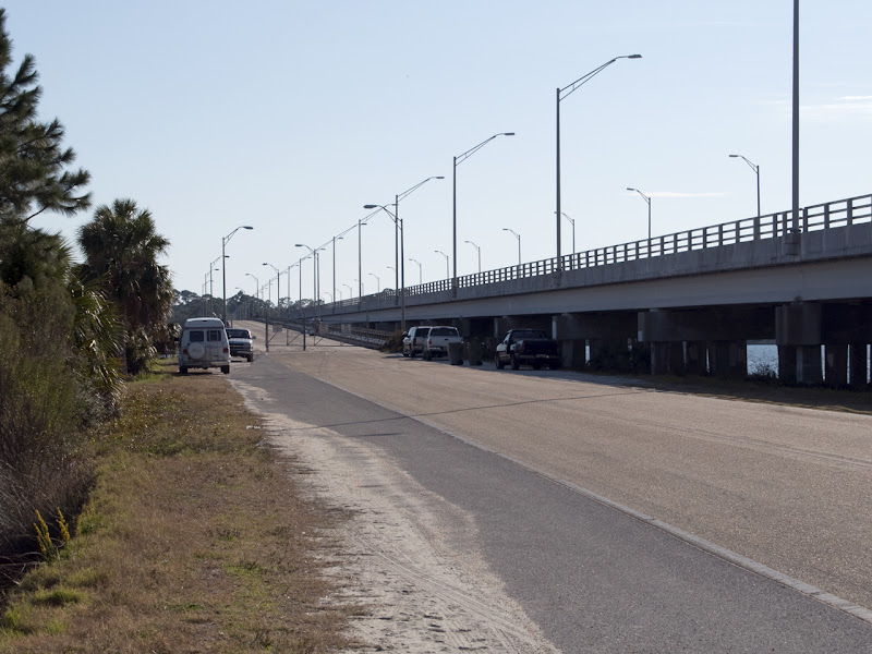
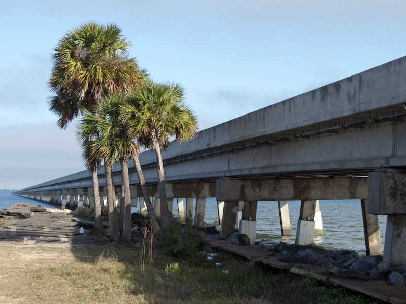
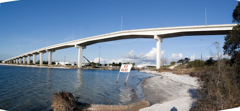
SR77 across North Bay, looking south. The new 4-lane structure is to the right, just a plain beam-on-pier construction, and we're looking down the old highway to the old 2-lane bridge, again left up for fishing. No shipping traffic under this one, so it's fairly low, just enough to clear decent-sized pleasure craft, but no way to get sailboats under it unless the mast comes down and you motor under.
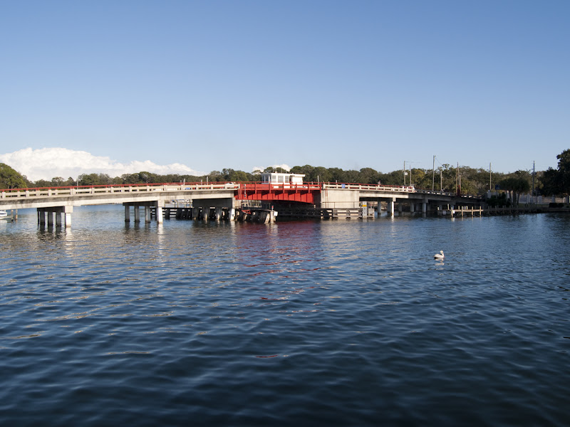
Beach Drive near downtown, crossing Massalina Bayou. Unless I'm sadly mistaken, this is the only drawbridge left in our area. There'a large marina just the other side of this bridge, with both commercial fishing vessels and numerous private boats, both motor and sail, as well as many many homes with private docks.
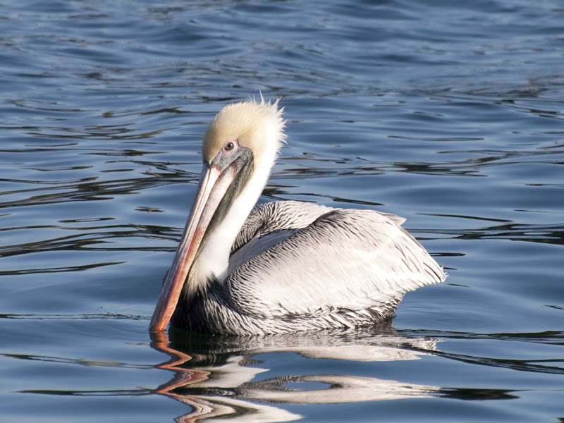
Had to switch to the 300mm and get the pelican:
It should be obvious that our bridges are different from bridges elsewhere. We're not crossing canyons or river gorges, we're just crossing waterways, and sometimes the road is only a few feet higher than the water. If the waterway carries shipping traffic, the bridge has to be high enough to clear, or it has to be a drawbridge. Drawbridges have the obvious disadvantage of stopping traffic, which has grown to be more and more unacceptable as traffic counts go up, so we build them high, now.
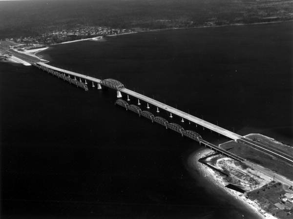
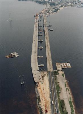
The first bridge pictured above, US98 across the bay here, is in its third iteration. First was a 2-lane truss structure with a center drawbridge, dating back to the 30s, I think. I don't know if the drawbridge was a lift bridge or swing bridge, I've not found any pictures or talked to anyone who knows. (I'm fairly sure it was a swing bridge.) In 1960 they opened the "modern" bridge, 4 lanes, elevated over the water so no interruption of traffic, and only the center span was steel trusswork. Although this bridge was 4 lanes, it had no shoulder space, and a very narrow "walkway" along the side barrier which was not separated from traffic. In 2004 they opened the current bridge, 2 spans each being 80 feet wide, and currently carrying 3 lanes of traffic each direction, with enough space for a very wide shoulder lane on the outside, and a full shoulder lane on the inside. There is also a pedestrian walkway separated from the traffic lanes by a Jersey barrier.
Here's a shot I found of the second bridge when it was new, with the old bridge left in place for diving. I mean, fishing!
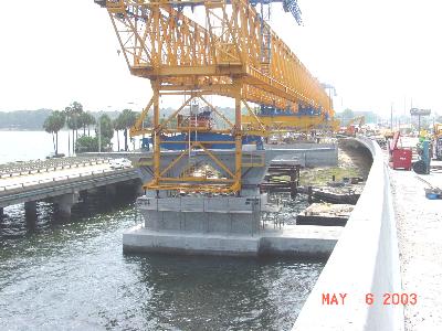
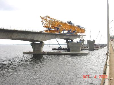
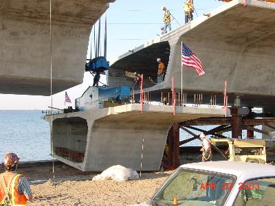
The current bridge was constructed of prefabricated box sections, fifteen feet of roadway installed at a time. These sections were cast on the job site, and floated out to the crane on barges. They built the piers, then erected a very long gantry crane to lift the roadway section into place. The crane had three footings it could put down, and it would span a couple of the piers, then lift the roadway sections and build a 'T' on each pier. When the 'T' was complete, the crane would extend itself to the next pier, put a foot down, and start work from there, basically walking across as the bridge was built. I'm told that the spans are not fastened to the piers, but merely resting on them. Here are some pictures I found of the process:
The flag is set up on this one for a ceremony about to take place, as this was the final section of the first span being lifted into place.
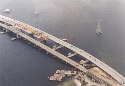
This aerial shot shows one of the new spans nearly complete, with the 1960 4-lane structure next to it. The very old bridge is completely gone.
When the first span was completed, it was opened to westbound traffic, and eastbound was left on the old bridge. As the new eastbound span neared completion, they had to shift traffic to the complete span in both directions, as they had to tear up some old roadway where the footing of the old and new would overlap. Eventually all was complete and we got 3 lanes and plenty of pull-off room in each direction.
There is a problem with the joints now undergoing repair, though. One joint on the first span has shifted much farther than allowed for, and has actually dropped pieces of road surface into the box section. They stop-gapped it by laying down a steel plate, but this winter they are closing the span, putting all traffic on the "eastbound" side, 2 lanes in each direction, while they effect repairs to that joint. They will also determine if other joints are affected, and how much repair needs to be done. Fortunately, the state got a ten-year warranty in the original contract, so this repair is on the contractor's nickel.

 ">
">
 ">
">
 ">
">
 ">
">
 ">
">
 ">
">
 ">
">


