i thought i understood this process with mapsource, but the more i dig into it , the worse i seem to get at it.
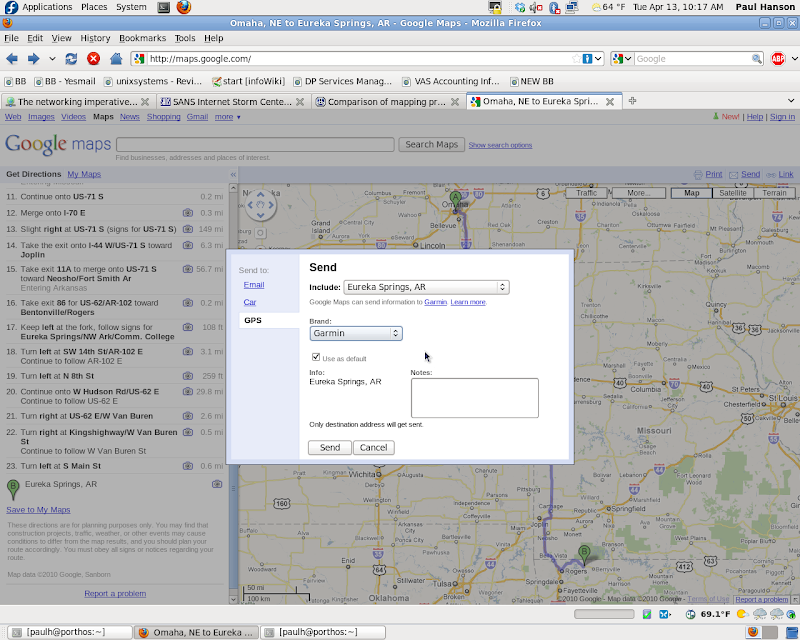
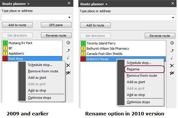
when i use mapsource to get things into my nuvi, no matter what i do, it sends all the waypoints into the "favorites folder". The only way i know around this is to tell mapsource to download the route to the sdcard i've got in the unit. I can then go to the "my data" folder in the nuvi and tell it to "import a file from a folder". it then finds the route on the card, calculates the route, and puts it in my custom folder. Things get really weird though when i open mapsource and tell it to retrieve the route from the nuvi. It changes the route untill i hit recalculate. This does not give me a warm and fuzzy feeling about how this is workding.
I cant tell what mapsource does to the file because theres no record of it anywhere on the device. I cant even find it on the sdcard. Anyone know what mapsource does with these files when you tell it to transfer it to the device? I would like to delete my test files.
Theres no record of any .gpx files on the device.
GreyGoose
The Nuvis don't actually receive the "route" from Mapsource, just the waypoints, and it recalcs. Same going the other way, transfer the route to Mapsource, you get straight lines between the points until you recalc.
The Streetpilot, and I think Zumos, take the actual route from Mapsource, but if it has to recalc (off-route, add a waypoint, whatever) it may come up quite different if you haven't been restrictive enough with waypoints along the route.
I "think" you can save a GPX file from another program to the SD card, just copy it with Windows like copying to an external disk, and then use the import menu to get it into a route on the Nuvi, but I'm not sure.


")