Cherrybark
New member
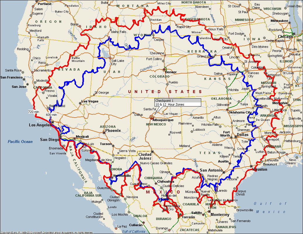
It's been great fun watching the riders range out in different directions but now, on the morning of check in, the rubber band starts pulling them back towards Albuquerque. Recognizing that every route and rider will have a different average speed, it's still interesting to estimate the miles they can cover in the remaining time, draw a circle around their destination and see which riders are going to be struggling. AFAIK neither SpotWalla nor Google Maps will let you do that but this web site will https://obeattie.github.io/gmaps-radius/?radiusInput=125&unitSelector=mi
Search for Albuquerque or any destination. Set the radius and units then click on the map at the mid-point of your desired circle. Change the radius and click again to add more circles. Right click a circle to erase. I won't bother with a screen shot because it's just a circle on a map.
Search for Albuquerque or any destination. Set the radius and units then click on the map at the mid-point of your desired circle. Change the radius and click again to add more circles. Right click a circle to erase. I won't bother with a screen shot because it's just a circle on a map.


