'Live Like You Were Dying' Trip 2009

Yamaha FJR Motorcycle Forum

Help Support Yamaha FJR Motorcycle Forum:

This site may earn a commission from merchant affiliate links, including eBay, Amazon, and others.

Murph

Well-known member
Joined
Mar 26, 2007
Messages
723
Reaction score
1
Location
Gig Harbor, WA
I'm not a raving fan of country music but I appreciate good crooning and good lyrics. One of the inspirations for this ride was


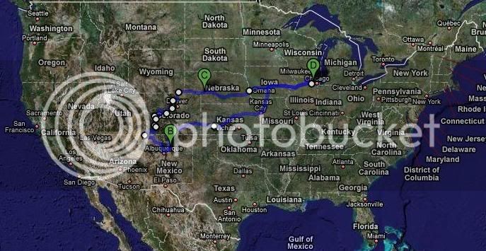
The plan was an 12-day tour of Colorado, a trip that we'd been putting off for 10 years. No more excuses. No more delays. We're going to live while we're alive!

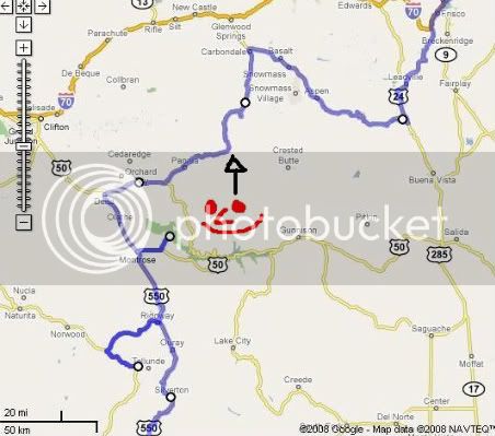
Here's the route:
1.jpg


Day 1

Already an hour behind schedule, I departed the Chicago area at 5:30am on Thursday, August 21st. As I crossed the Mississippi, I rode thru steady rain all the way thru Des Moines and Kansas City. By the time I got off the slab in the middle of Kansas, the rain had subsided.

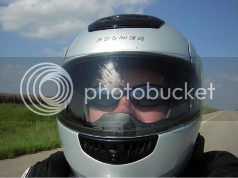
Then the bugs came out:
2-a-2.jpg


To pass the time, I found it most stimulating to count the trees in Kansas.
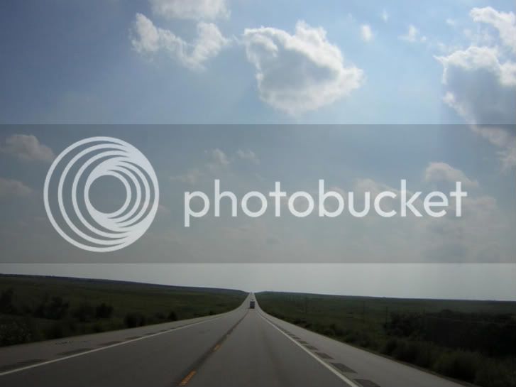
2-1.jpg


Then the sun decided to set directly on the road before me and I found myself singing Jackson Browne's "Running On Empty":

"Running on - running on empty

Running on - running blind

Running on - running into the sun

But I'm running behind"
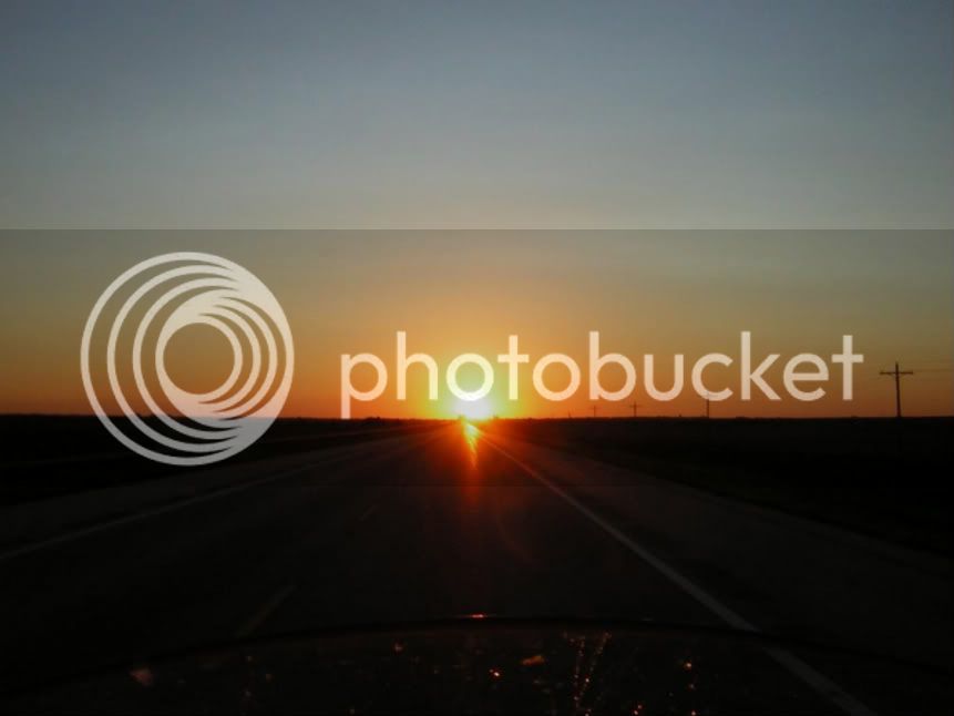
3-1.jpg


Seriously, Kansas wasn't too bad. Not nearly as flat and boring as Nebraska.

Riding the last hour in darkness, I stopped for the night in La Junta, Colorado. Beware! I stayed at a Super 8 and I contracted a rash on my foot (I'll spare you the photographs). No doubt that it came from the bed sheets. <_<

Total mileage this day: 1,075

Day 2

Setting off before dawn, I followed Rte 10 about 60 miles to Walsenburg. Although the road was mostly straight and flat, the sun started to rise at my back just as the eastern range of the Rockies came into view before me ... it turned out to be one of the most enjoyable motorcycle rides ever!
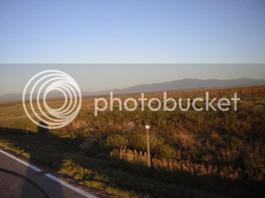
4.jpg


I continued along Rte 160 and over my first pass of the trip, La Veta Pass, and soon approached Great Sand Dunes National Park:
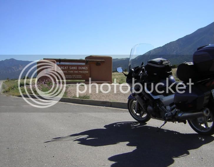
5.jpg


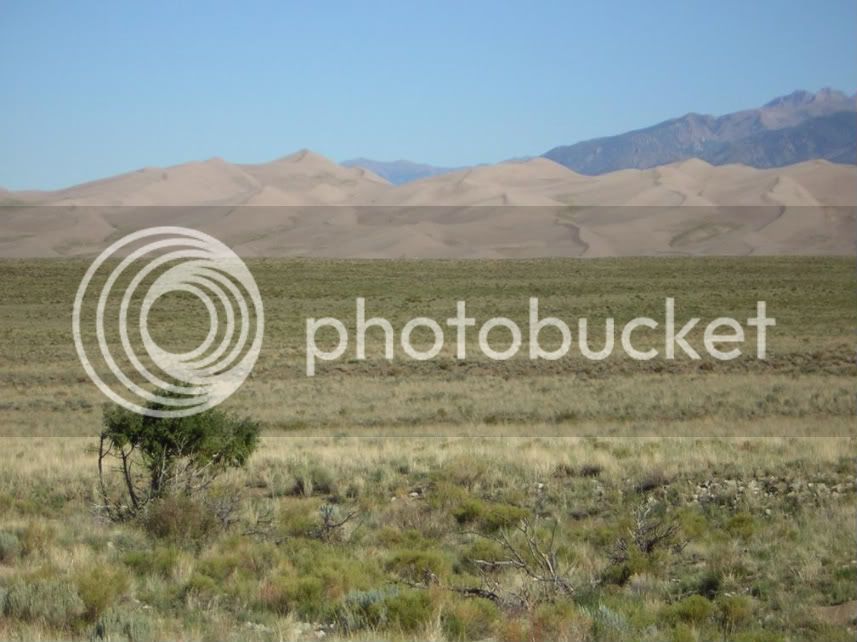
These dunes are big. This photo was taken from several miles away:
6.jpg


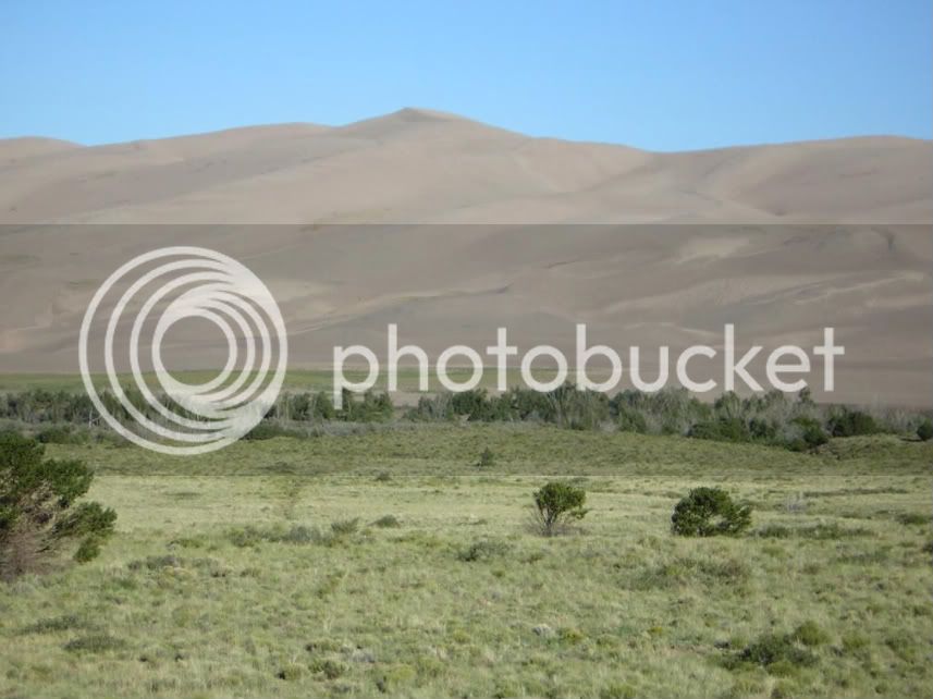
Later, I realized that I was able to see the dunes from 30 miles away! I believe the tallest dune is about 650ft. Believe it or not, there are people hiking on the dunes in this picture. I bet you can't find them.
7.jpg


I then aimed the bike south and in to New Mexico.

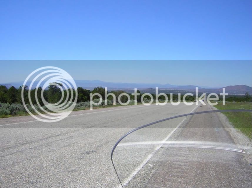
This is on Route 285 travelling south to Santa Fe. A beautiful ride.
9.jpg


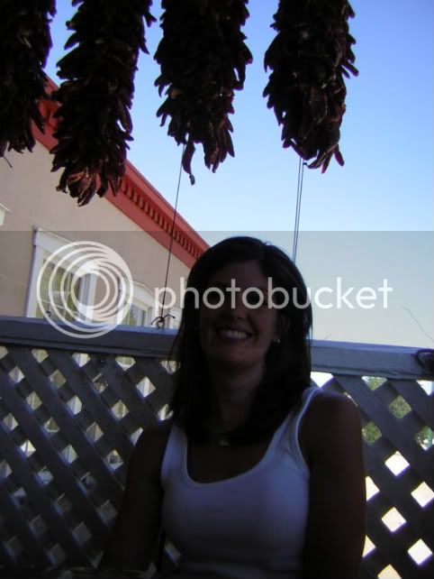
I then met up with my wife in Santa Fe. They hang chilies like we hang mistletoe at Christmastime!
10.jpg


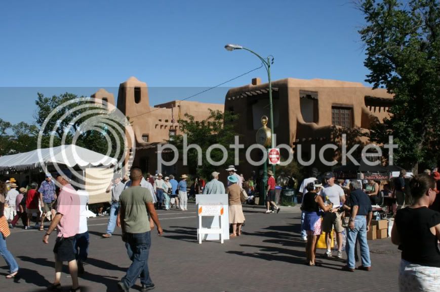
Bonus! It was the weekend of "Indian Market" in Santa Fe and we checked out the crafts and festivities...a great way to wind down after 1,400 miles in the saddle.
11.jpg


Total mileage this day: 331

 
Last edited by a moderator:
Thanks, Toe. I'll have to check out that visor. With the roads being so straight and flat in western Kansas, the sun was in my eyes for quite some time and it was really difficult to see. The photo reflects better visibility than I actually had that day.

Back to my story...

Day 3

I picked up my wife and Santa Fe and now the trip was really beginning! We headed north out of town, fueled up, and rode into the hills around Los Alamos. We rode Routes 4 and 126 and thoroughly enjoyed the twists, the turns, and the mountains. Sure, the traffic and the speed may have not what I'd dreamed of but at least we were on vacation and riding! I highly recommend this area.

14-a.jpg


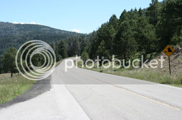
I was too busy having fun riding to take photos of the best parts but here's a shot of the road. For some reason, the falling rock signs crack me up.

13.jpg


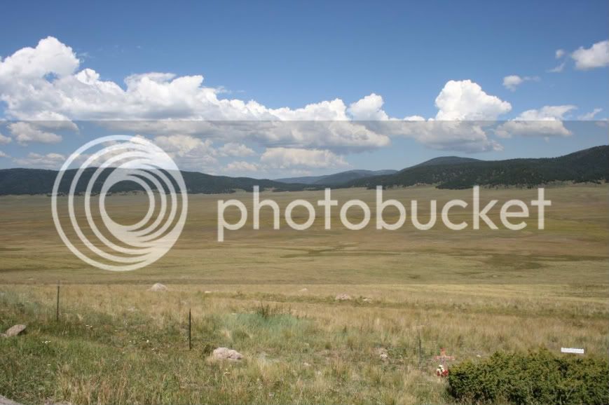
I was pleasantly surprised to find green in New Mexico. This is a beautiful area called Valle Grande within Valles Caldera. As with most sights in the west, it was huge and photos don't do it justice.

14.jpg


Soon after, we followed Rte 126 for a few miles and came upon a "Road Closed" sign. We had to turn around and find another way. It ended up taking us about an hour and a half out of our way. :(

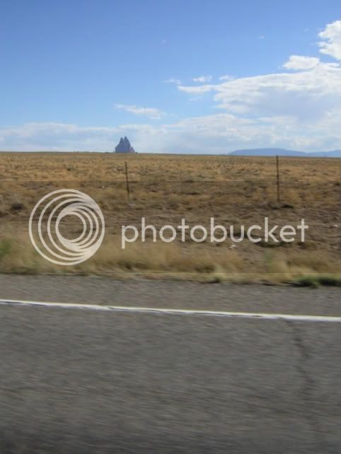
We proceeded northwest for the remainder of the afternoon and eventually passed Shiprock. If you close your eyes, cock your head, and click your heels three times, you just might see a ship...

14-b.jpg


It was H-O-T, we were running low on fuel, and I decided to put a few $$ of gas in at Teec-Nos-Pos (the location of the fuel station closest to The Four Corners). We jump off the bike, I unlock but do not lift the gas cap, and then I go inside to pay the attendant. At least two minutes pass by the time I return to the bike and, when I do so, I immediately open the cap and hear the dreaded"WHOOSH" sound that one hears just before the eruption. My wife is on the opposite side of the bike and I yell "Get back! Get back!" She steps back just in time for the fuel to spurt out of the tank and about a foot high! Fortunately, the wind was blowing away from both of us. Stupid me! Although I unlocked the cap, I hadn't cracked it open to let it "breath" prior to throwing it open. :crazy:

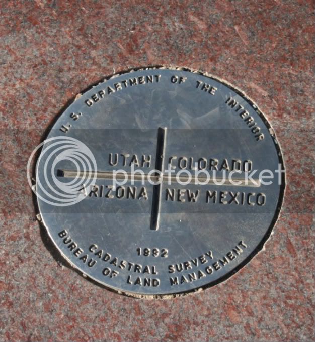
We proceeded to The Four Corners, the only spot where four contiguous states meet, but I will forever refer to it as "The Most Anti-Climactic Point in the U.S." <_<

I expected this:

15.jpg


But, for some reason, I wasn't prepared for this:

16.jpg


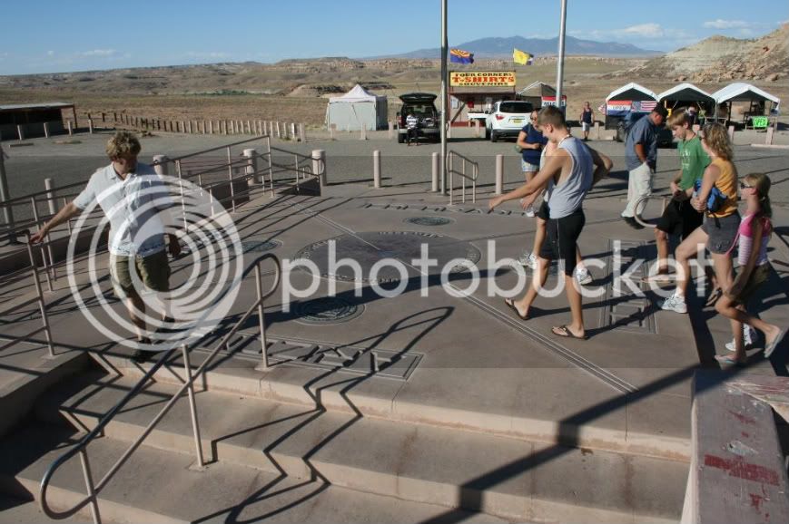
I don't know why I never thought that it would be exploited so much that it is essentially just a tourist trap. I guess I never gave it much thought. Maybe I never paid attention to others or maybe it was a big secret among those who got ripped off before me, but I will now expose the seamy underside of The Four Corners. We paid $6 to stand in line with a bunch of other tourists to view and photograph an imaginary line and this is what the surroundings look like:

17-a-1.jpg
17-b-1.jpg


Six dollars?!!!? C'mon! That's about 4 hours of work at my first job! We saddled up, rode away, and felt severely hosed. :(

Fortunately, the grandeur of the landscape as we rode north and east towards Mesa Verde National Park made up for our $6 loss.

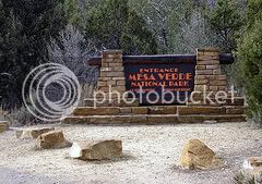
Of course, we took the obligatory picture of the national park sign (although this one is not mine)

18-a.jpg


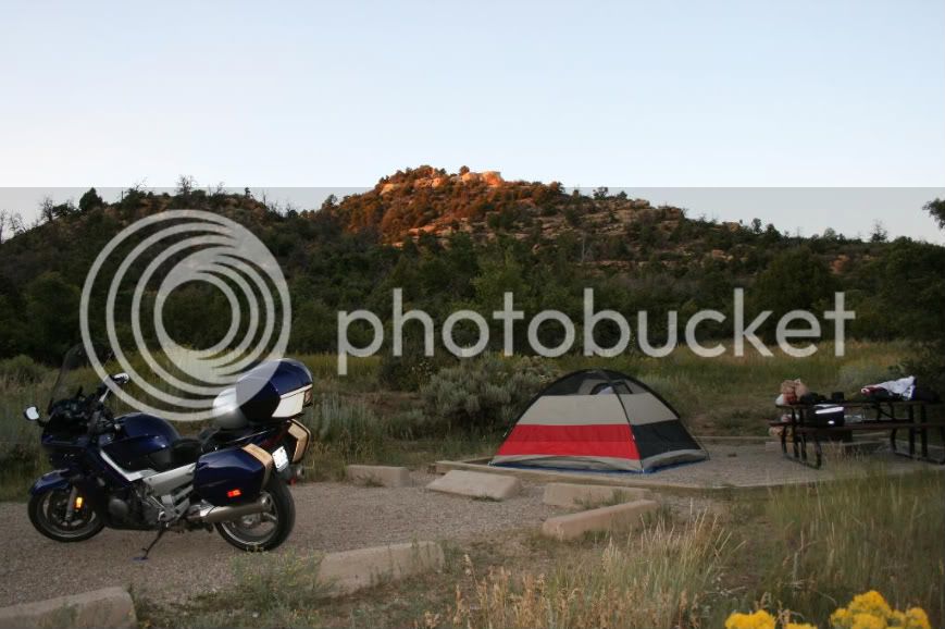
... and then we set up camp

18-b.jpg


Total mileage this day: 380

 
Last edited by a moderator:
Day 4

We awoke, broke camp, and proceeded into the heart of Mesa Verde National Park. I don't know how many of you have been to Mesa Verde, but I think it has a much better "driveway" than most other National Parks. It's about 20 miles of twisting, turning, and gaining altitude before you reach the visitor's center. Again, I wish I had photos but I was too busy having fun riding those roads!

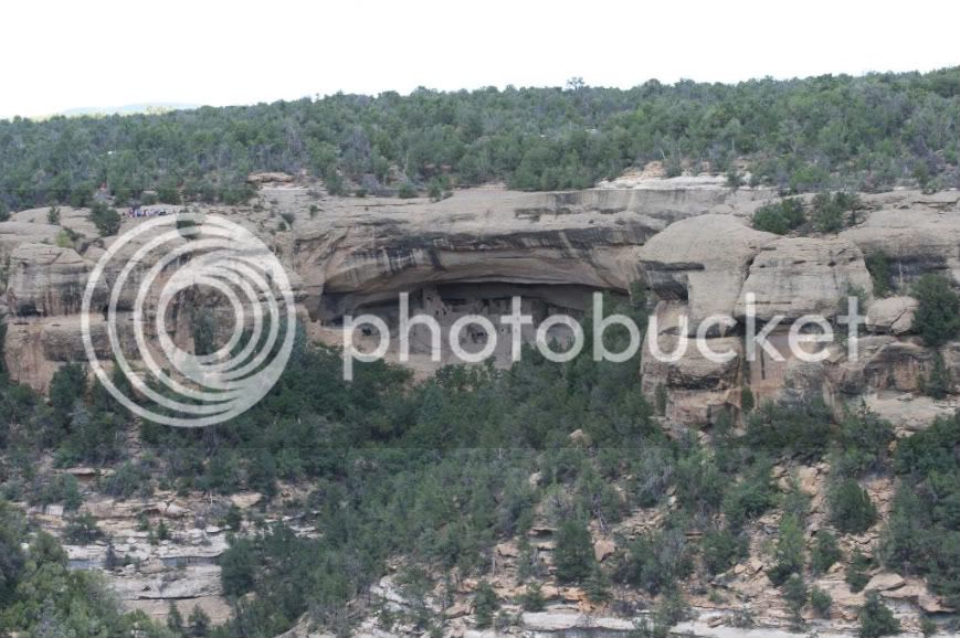
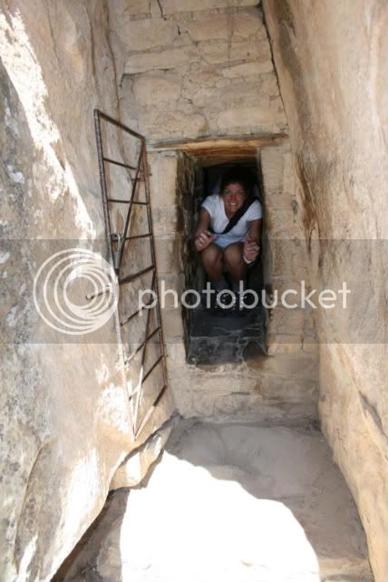
Then, you get to drive a few more miles to reach these archaelogical sites:

18-y.jpg


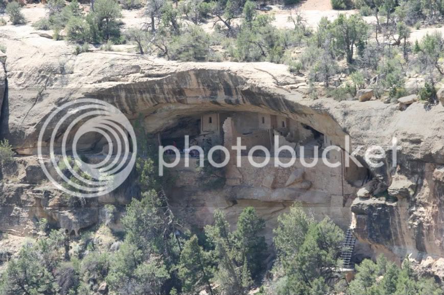
We started off the day well because, unlike the previous day, $6 got us a tour of this:

18-c.jpg


(To give you an idea of the scale of the cliff dwellings, check out the groups of people in the photos.)

The "Ancestral Puebloans" (formerly known as the "Anasazi") were short! Women were less than 5' and it is estimated that the men were no taller than 5'2".

18-h.jpg


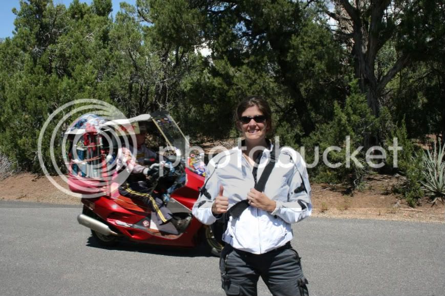
At the campground the night before, we saw this older guy riding around in a really loud and wildly farkled Honda scooter. Unfortunately, when I tried to get a photo of the scooter for you guys (because I knew you'd appreciate it so much), the guy had covered the bike. Today, however, I heard him coming (I told you his scooter was loud) and I quickly had my wife pose so that I could catch this image:

19.jpg


PLEASE ... somebody ..... post up if you've come across this guy in your travels. I think we should have some sort of contest to name everything that is on his scooter! For some reason, he has a rather large trophy tied to his scoot. :huh:

From Mesa Verde, we rode 160 west towards ominous skies over Durango and Silverton. About 2 minutes after refueling in Mancos and deciding not to don our rain gear because the attendant said that other riders had just come from that way and were dry, we ran into some rain ... and then so much rain that I couldn't see. I pulled the bike over and, as we were trying to put on our rain gear (which is now soaking wet on the inside and out), it starts to hail. Boy was I was really mad at myself for not trusting my instincts to put on my rain gear a few minutes earlier. :angry:

We then waited the brief downpour out, uncovered, on the side of the road. We were soaked and cold and .... this part really irks me .... my poor disposition at the time prevented me from taking in and enjoying The Million Dollar Highway (Rte 550) as much as I should have. Still, it was an outstanding ride and I cannot wait to go back.

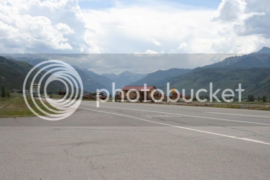
Here is a photo taken from Ridgway, just north of Ouray which serves as the gateway to The Million Dollar Highway (one of the 1,000 Things to See Before You Die). Look at those peaks!

20.jpg


Since my agreement with the wife is to spend one night in a hotel or B&B for every night of camping, we spent this evening at an inn in Telluride.

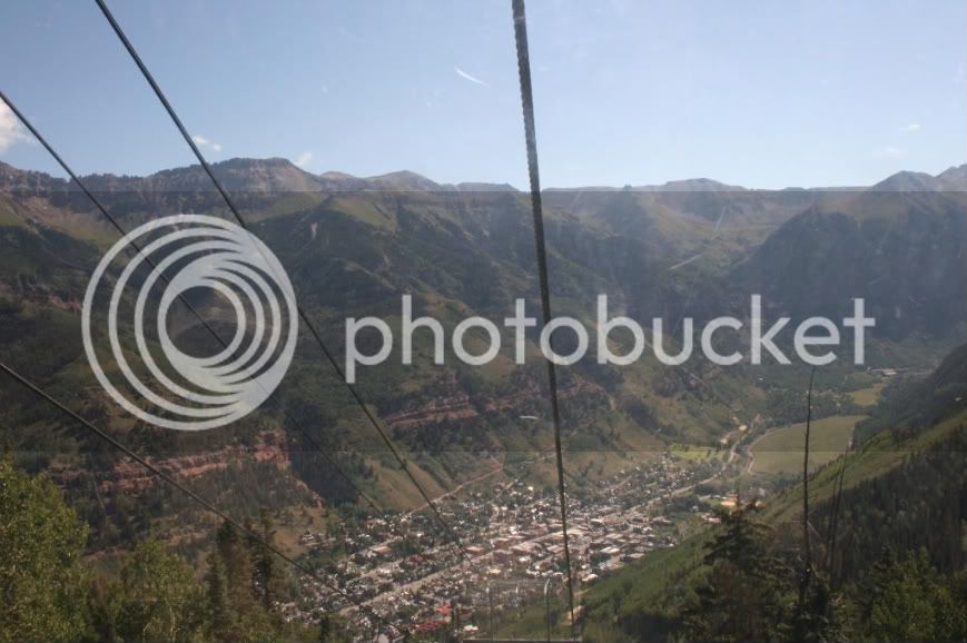
Telluride is located in a box canyon with gorgeous peaks overlooking the town:

21.jpg


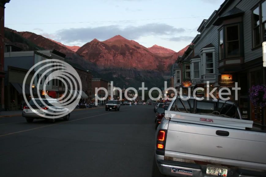
We rode the free lift to see Mountain Village on the other side of the mountain. I was sure to get some photos of downtown Telluride:

22.jpg


I'd move there if I could.

Highlights of the day:

-Cliff dwellings of the Ancestral Puebloans

-The Million Dollar Highway (the corners get pretty tight and hairy coming down into Ouray)

Today's Mileage: 211

 
Last edited by a moderator:
Thanks for following the report and for the kind words. I know you really want to see more pictures of my pretty face but I'll spare you the scantily-clad Speedo photos!

Day 5

We spent the morning taking in Telluride and then it was time to head north to the Black Canyon of the Gunnison National Park. In somewhat of a better disposition today (funny how that happens when the sun is shining and you're not shivering in rain gear that's wet on the inside and out), the ride on Routes 62 and 550 were thoroughly enjoyable. Rte 550, in particular, was nice as the road parallelled the Uncompahgre River. We briefly followed US 50 east to the entrance drive of the Black Canyon of the Gunnison which also has about 4-5 miles of pretty nice turns to the front gate. I know this because I later had to make several trips for camping supplies which I used as an excuse to push some cornering limits and get some wear on the sides of my tires. ;)

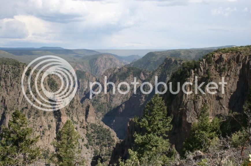
The Black Canyon of the Gunnison was stunning.

24.jpg


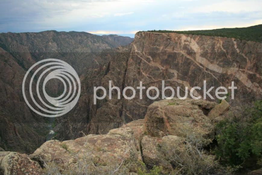
On the right is "The Painted Wall" which looks even more spectacular in person.

25.jpg


Unlike many other national parks, the Black Canyon of the Gunnison was empty. I got the feeling that it is over-looked by most tourists. If you are in the area, I urge you to stop and at the very least follow the scenic drive.

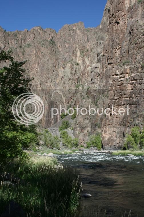
We decided to hike into the canyon so we had to get a backcountry permit because there are no easy trails to the bottom. The hike was more intense than we expected, but the reward of a beautiful, secluded spot at the bottom to enjoy the Gunnison River was our reward for the 2 hours of effort we put into climbing down.

28.jpg


As I said, the park was empty and there were very few campers. We basically had a national park to ourselves! What a day!

Total miles today: 127

Day 6

We departed the Black Canyon of the Gunnison and set out for Aspen today and ... within an hour ... we got to experience riding from a golden, dry, western Colorado to the cooler, greener, Alpine Colorado. Such a state of contrasts!

We followed this route and the riding was superb with just the right amount of technical riding mixed in among the eye-candy landscapes!

29-a.jpg


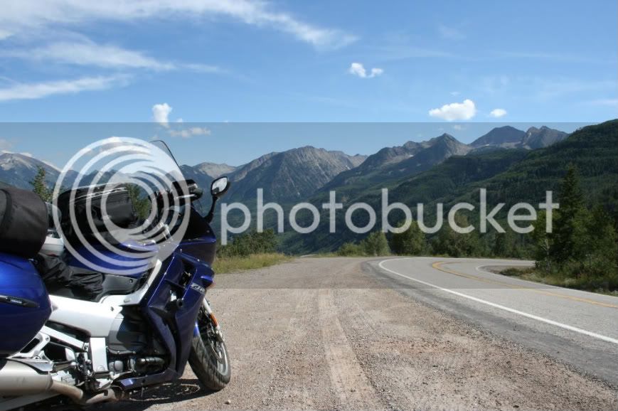
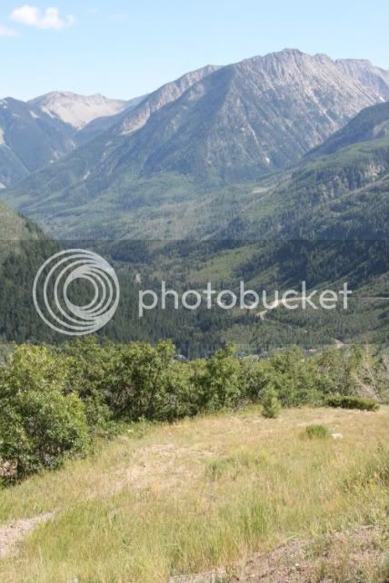
I was won over by Route 133, especially the area around Paonia Reservoir and McClure Pass.

29-b.jpg


Looking down at the road as it descends in serpentine style from McClure Pass:

30.jpg


We reached Carbondale and met Route 82, a scenic 4-lane highway that led us southeast to our reservation in Aspen.

31.jpg


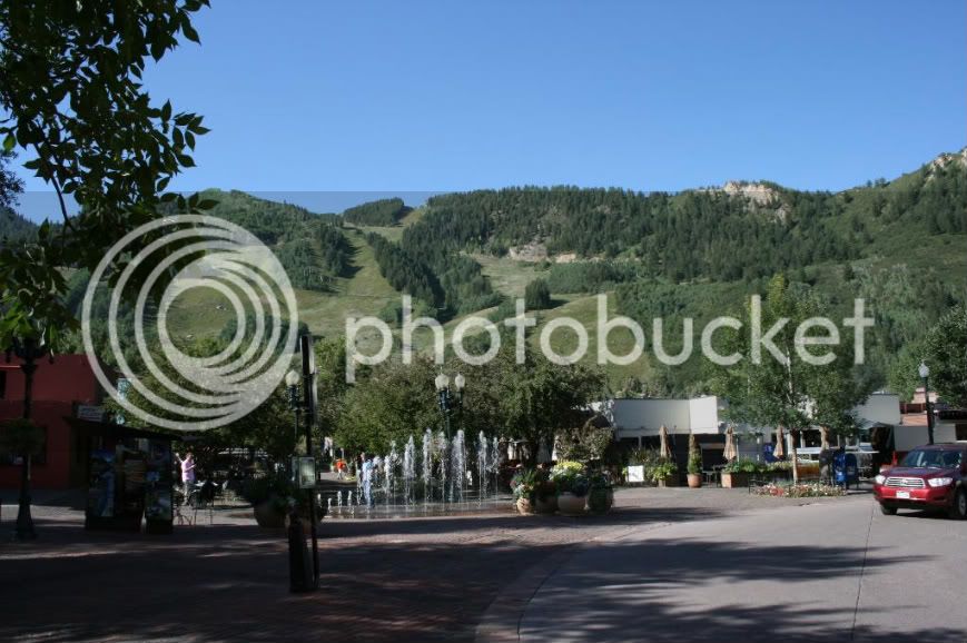
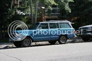
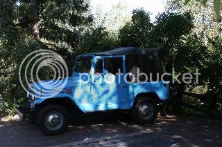
We washed the night of camping off of us and hit the town for the evening. Of course, as expected, Aspen was definitely more "lifestyles of the rich and famous" than "blue collar comedy tour." But, while my wife was admiring the clothes and art galleries, I managed to find a couple things in Aspen that attracted me.

This:
32.jpg
And this:
33.jpg


Not that blue would be my first choice, but they are cool 4x4's and I could see myself owning one of these if I lived in Colorado.

Today's mileage: 155

 
Last edited by a moderator:
I have one of those (used to be mine) parked in front of my place right now, and the owner is talking sell. Hard top, '71 w/fuel injected 350, SM420 4-speed and front disc conversion. Not real pretty, but real solid and capable.

 
Day 7

Somewhat bigger mileage day today. Normally when I go on a trip, I tend to be too busy "tagging" destinations that I reach them but I don't really experience them. Not so on this trip. I consciously kept the daily mileage significantly lower than my norm and I felt like we were getting a good balance of motorcycle riding and experiencing nature and the towns.

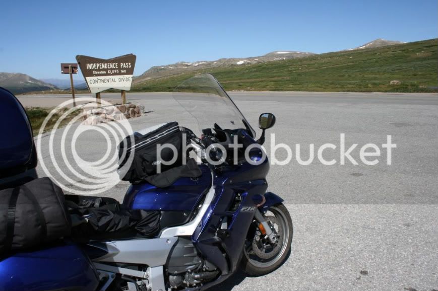
We followed Rte 82 east (which was SPECTACULAR :yahoo: ) and soon reached Independence Pass.

35.jpg


Popular place with many cars and bikes coming and going. It was almost difficult to get a shot of the sign without any other person or bike in the frame.

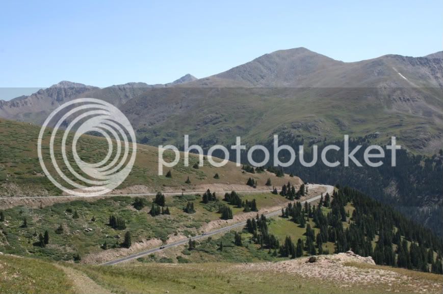
As a motorcyclist, scenes (and switchbacks) like these bring tears to my eyes :cray: ;)

34.jpg


Then we proceeded towards Leadville and we got into a routine everytime we ascended and descended a mountain:

ME: How are you doing?

SO (grumbling): I'm okay.

ME: Are you cold (or hot)?

SO: Yes.

ME: Do you need me to pull over?

SO: No.

ME: Tell me now if you need me to pull over.

SO: Ok....... can you pull over?

ME: AAAARRRRRRGGGGHHHHHH!

Ok. So it wasn't quite that bad but we did stop quite a few times so my wife could put on (or remove) her heated gear.

On one stop, I had to put the FJR into 2x2 mode. Unlike previous trips, I tried hard this time to avoid all dirt and gravel roads because I was carrying the S.O. and the bike was overloaded more than ever on this trip. But my bike seems to frequently find itself on dirt. Packed like the Beverly Hillbillies and going off pavement, I decided at this time to christen my bike the "FJR1300 GS Adventure!"

36.jpg


From Leadville, we followed US 24 north to I-70 East and on our way to the 14,264' summit of Mt. Evans!

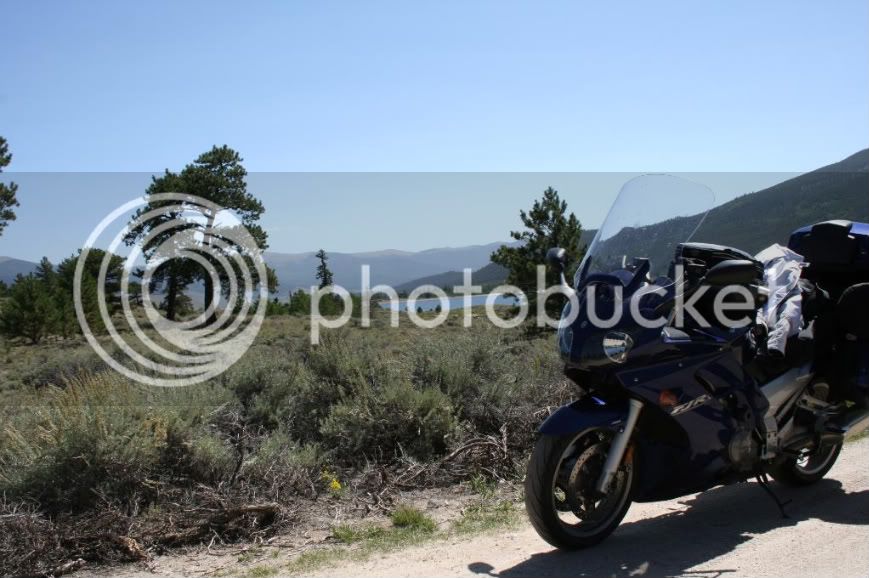
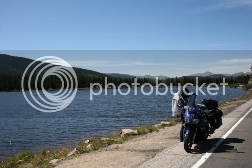
Here we are near Echo Lake (just below Mt. Evans) doing another S.O. clothing adjustment:

37.jpg


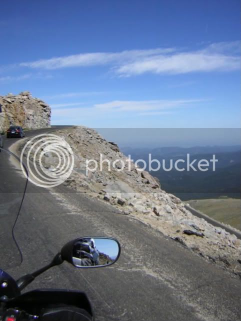
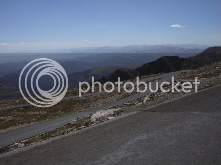
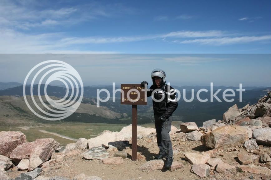
Then we drove up Mt. Evans. (Much thanks to all those who recommended it in previous posts!)

38.jpg


40.jpg


Don't the mountains in the back look unreal? Almost like a painting?

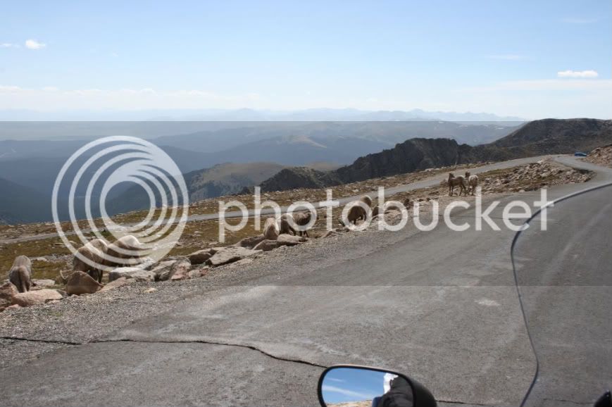
I guess these guys hang out near the road because so many people feed them.

43.jpg


We reached the top but we didn't spend much time because my wife was almost blown off the mountain.

41.jpg


From Mt. Evans, we followed Rte 103 east over yet another pass and enjoyable motorcycle road. Eventually, we picked up Routes 6 and 119 as we headed towards the eastern side of Rocky Mountain National Park.

Some observations:

-The town of Black Hawk is basically one big casino.

-Rte 72 is gorgeous but does everyone drive slowly on that road?

-Stupidity begets stupidity.

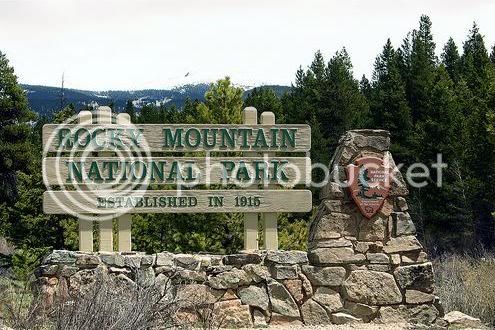
For that last observation, I was stuck behind a car but couldn't pass safely due to all the blind curves. Three helmetless Harley riders came up quickly from behind (that is, they hadn't been stuck behind this car as I had and they didn't intend to wait) and ... to our amazement.... the first rider started to pass me and the other two followed. But they were passing on a blind curve!!. The leader did it so the other two just blindly followed! :poster_stupid: Yeah, the curve was completely blind and they gambled and won. Funny thing is, the car turned off within a mile and I continued to ride my own ride. However, I was surprised when I soon caught the Harleys. After riding behind them for a short while, I figured out why. None of them could choose (or keep) a line in a corner and all of them braked throughout the corners. So they'd speed up on the straights and brake hard and go amazingly slow in the corners while I played it steady and smooth. I had fun watching them but I soon became very troubled as I witnessed more and more of their thoughtless riding habits. These guys scared me and I was glad when the time came for me to turn at Rocky Mountain National Park (obligatory entrance sign photo, albeit not mine):

44-RMNPSign.jpg


No sooner did we choose a campsite at Long's Peak Campground when the camp hosts came around warning us about a bear that was frequenting the camp. They even showed us a video of the bear that was taken by campers who were eating breakfast when the bear appeared and proceeded to make himself at home on their picnic table. Of course, their video was taken as they fled! :D Still, this is what we wanted ... that authentic Rocky Mountain experience! :lol:

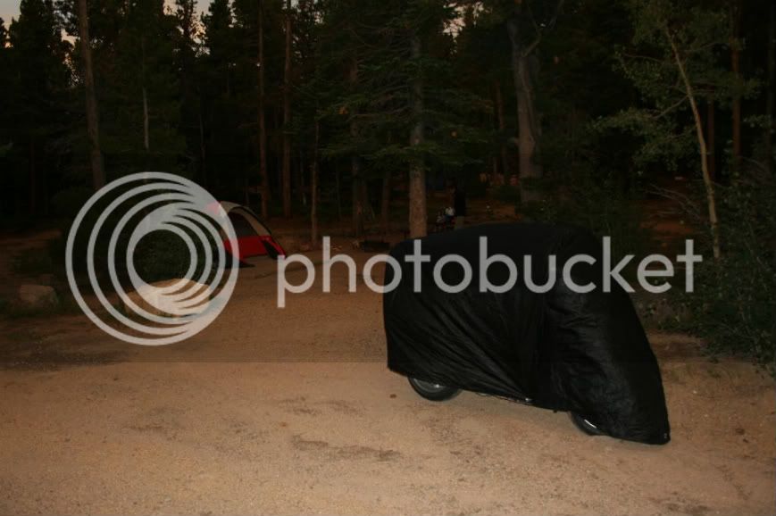
With a bear around, I decided to let the wife handle the food while I covered the bike and kept a comfortable distance from the inviting aroma of the scrumptious dinner that my wife was cooking.

44-a.jpg


Seeing that the bear was nowhere in sight, I ate quickly and then promptly left my wife to fend for herself! ;)

Total mileage today (Aspen to RMNP): 282

 
Last edited by a moderator:
I have one of those (used to be mine) parked in front of my place right now, and the owner is talking sell. Hard top, '71 w/fuel injected 350, SM420 4-speed and front disc conversion. Not real pretty, but real solid and capable.
I would be all over one of those if I lived in an area in which I could justify it. Being in Chicago, however, I couldn't even use it for recreational purposes because I don't think there is anywhere to off-road in Northern Illinois. :glare:

But I will move someday. Hopefully to someplace that I can justify owning such a cool ride!

Then again, perhaps I could just get one and convince my in-laws to let me store it at their place in Sutter Creek, CA! :punk:

 
Last edited by a moderator:
Then again, perhaps I could just get one and convince my in-laws to let me store it at their place in Sutter Creek, CA! :punk:
Yeah, it would just rot back east with all the road salt, unless you parked it next to the FJR all winter, which would be a total waste.

 
I'm loving this ride report, and pictures. Looking forward to the conclusion. We saw a lot of these places on the ride to and from NAFO. Like you, we sprung $6 to wait in line to see the brass plaque. I guess everyone does it once, then next time we'll just keep riding.

Jill

 
Really great trip report and pictures. Thanks, I have been on all of those roads and it brings back great memories.

Mac

 
Day 8

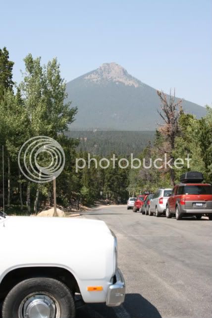
Woke up, had ourselves a nice camp breakfast (oatmeal), and decided to take a hike up this mountain (11,000ft "Estes Cone"):

54.jpg


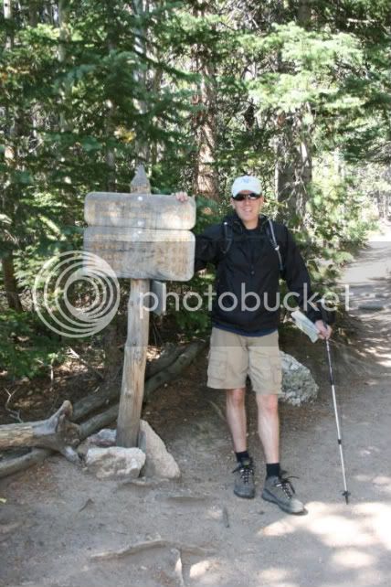
You see, this hike was just to get us prepared for what we would be attempting tomorrow which was pretty much the focus of this trip. Here I am ready to hike. I mentioned before that I had the FJR1300 GS Adventure overloaded. Where do you think I carried the trekking poles? (And, yes, they were on the bike for the entire trip.)

54-a.jpg


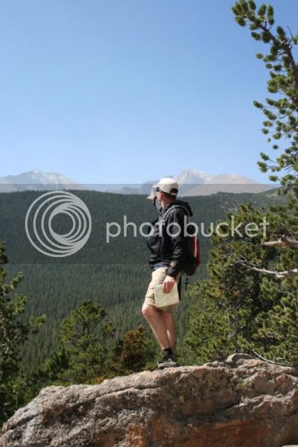
We summited Estes Cone and, on the way down, I pointed out tomorrow's goal:

55-a.jpg


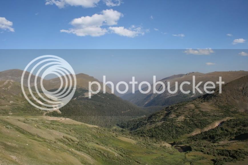
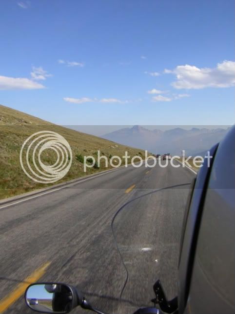
But first we needed a break! So we hopped on the FJR, rode into Estes Park for lunch, and then rode US-34 west thru Rocky Mountain National Park. This is the highest paved thru-road in North America and the sights are grand!

47.jpg


Facing south. That's 14,255' Long's Peak that you see. It is Colorado's northern-most 14,000ft mountain and visible from most everywhere in Rocky Mountain National Park.

51.jpg


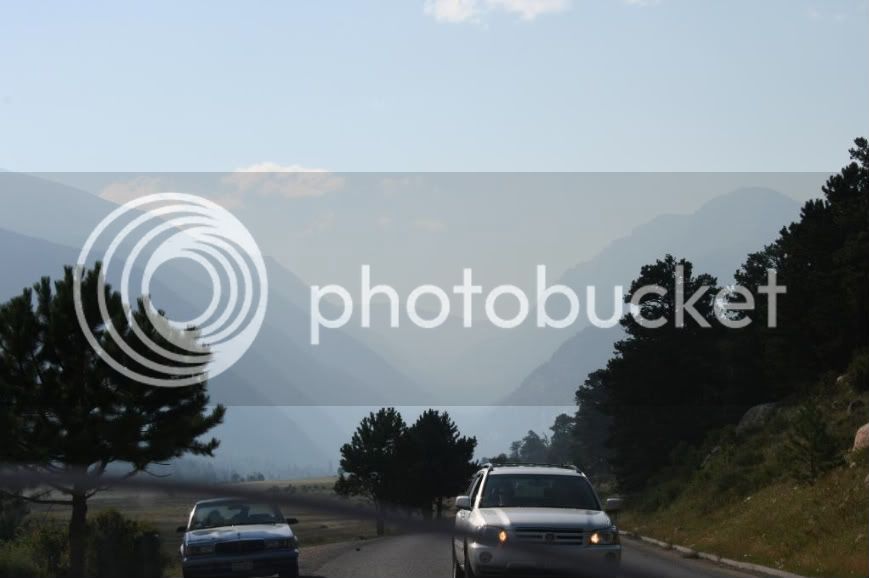
I decided to play chicken with a Toyota:

52-b.jpg


Check out those mountains in the background. It looks like a painting.

In national parks, I'm both delighted and unnerved at how the animals are so unafraid of people and so willing to beg.

53-a.jpg
53-b-1.jpg
53-c-1.jpg


A trip to RMNP would not be complete without a ride across the continental divide on US-34. Alot of traffic but a great road!

83.jpg


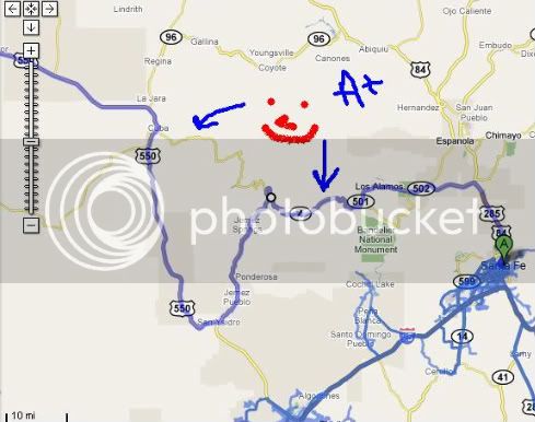
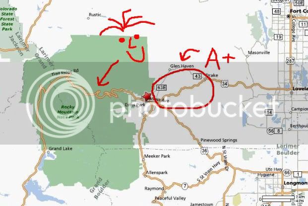
Regarding the section noted as "A+", that is the route that we took a few days later when we headed home. It parallels the Big Thompson River which carves its way thru a canyon on its way east out of Rocky Mountain National Park. Simply an outstanding ride! :clapping:

We headed back to camp and were in our sleeping bags by 8pm. Tomorrow would be the high point of the trip!

Total mileage today: 73

 
Last edited by a moderator:
Thanks for the report. I get to live it with you w/o getting monkey butt. :)
I really enjoy murph's sharing this great trip.

But....you aint lived it unless you rode it.

That's like saying I rode the Tour de France even though I just saw it on TV :)

 
Top