Fontanaman
Robin Trower
On Saturday I completed my first ride of the year. The route is around the Hood Canal a favorite winter ride. I posted a ride report on the same ride last year.
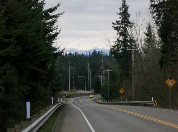
I left home about 7:15 and soon stopped to take this photo of Mt. Rainier.
It was a warm day for early March in Seattle with temps no cooler than 48 and during the ride we saw 58 even. It was overcast and I did encounter rain until the last ten miles.
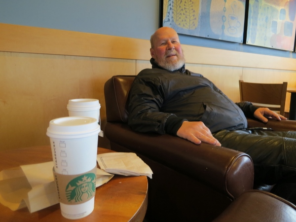
I met my friend Brian at a Starbuck's and we caught up on our lives while enjoying a coffee.
Shortly after leaving Starbucks my Garmin Zumo 550 was not routing, aka showing me the way, but it would display the map. After a few miles I just put it away. I was able fix the Zumo when after returning home but I really don't know why the routes got scrambled.
The somewhat dead Zumo set me on edge. With out my Zumo I was suffering from GPS withdrawal as I have become completely dependent on it over the last 6 years.
We cross the Narrows Bridge, drive along Hwy 302, driving though Wauna and Victor before riding along Hwy 106 to begin our ride along Hood Canal.
My mind wandered in a good way. This was not going to be a great day for photos. Have taken many photos along this route.
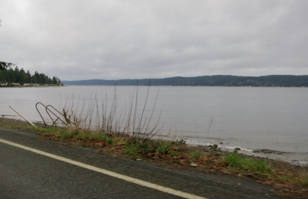
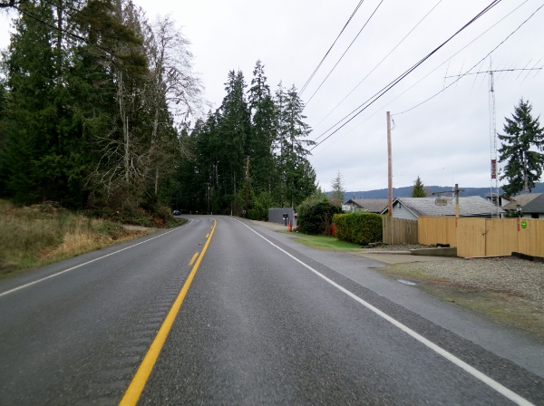
On this trip this is what we found:
In March 2011 it looked like this:
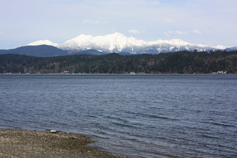
Which do you prefer? Rather like a eye exam where the Doc says is this more clear or is this more clear?
Hwy 106 near Union Washington.
Hood Canal along Hwy 101
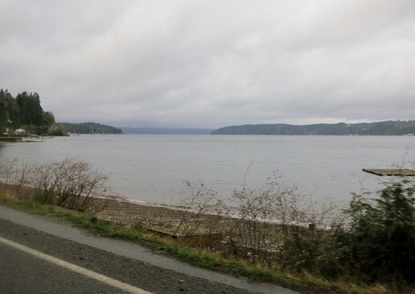
A little bit of that or a little bit of this?
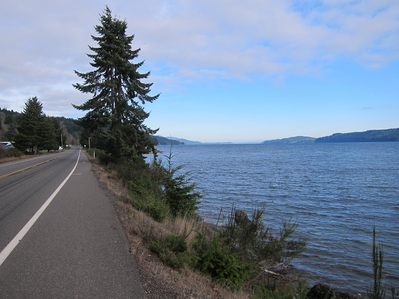
Hwy 101 along Hood Canal
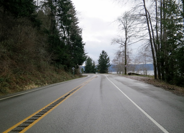
As we road north the skies cleared just a bit and the roads dried out and the wind picked up.
Brian along Dabob Road
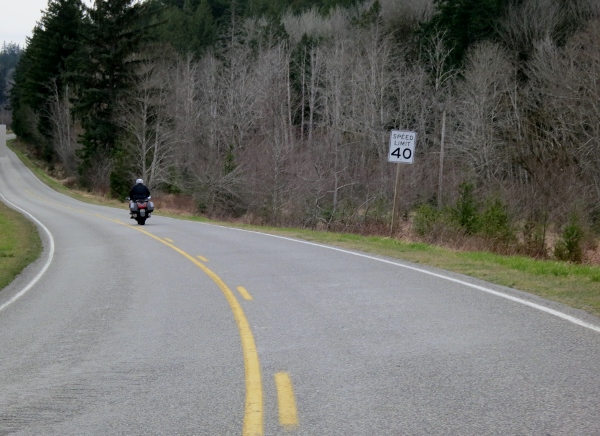
Brian near Dabob Washington
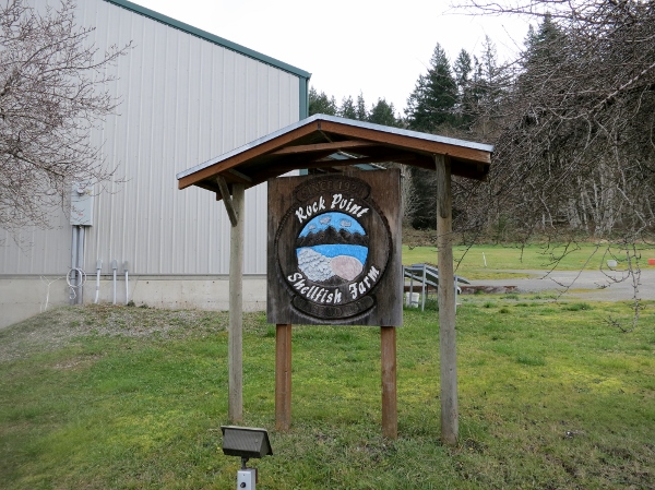
We took a little detour to the Rock Point Shellfish Farm to see the sights.
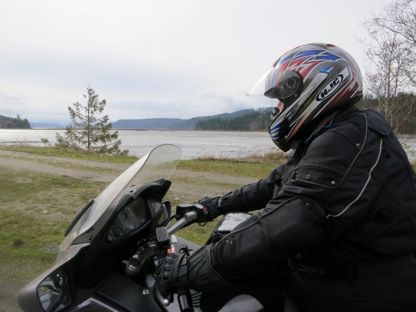
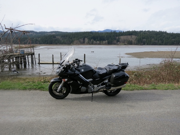
My FJR
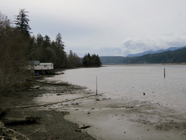
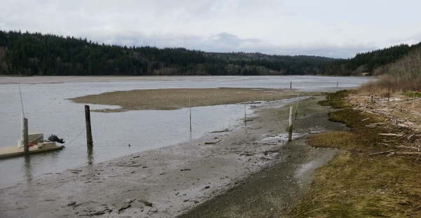
Still at the shellfish farm.
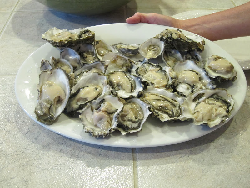
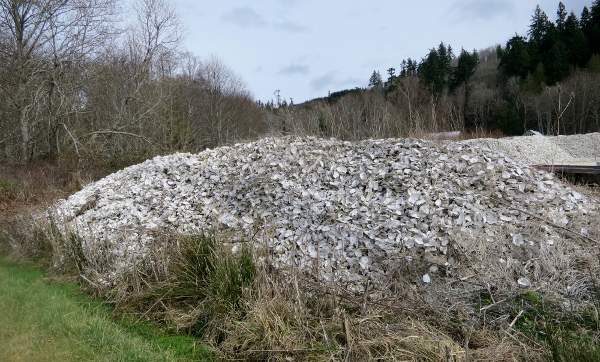
Shellfish remains.....
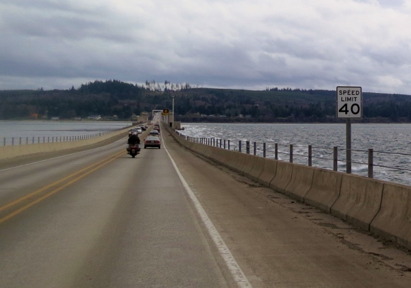
We road across the Hood Canal floating bridge. The wind was blowing pretty good. Notice the white caps on the right side while the water on the left is calm.
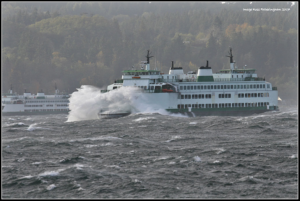
We ride on to Kingston where we catch the ferry back to the mainland.

It was a great day to be out on the FJR again and a great way to start the new riding season.
I left home about 7:15 and soon stopped to take this photo of Mt. Rainier.

It was a warm day for early March in Seattle with temps no cooler than 48 and during the ride we saw 58 even. It was overcast and I did encounter rain until the last ten miles.
I met my friend Brian at a Starbuck's and we caught up on our lives while enjoying a coffee.

Shortly after leaving Starbucks my Garmin Zumo 550 was not routing, aka showing me the way, but it would display the map. After a few miles I just put it away. I was able fix the Zumo when after returning home but I really don't know why the routes got scrambled.
The somewhat dead Zumo set me on edge. With out my Zumo I was suffering from GPS withdrawal as I have become completely dependent on it over the last 6 years.
We cross the Narrows Bridge, drive along Hwy 302, driving though Wauna and Victor before riding along Hwy 106 to begin our ride along Hood Canal.
My mind wandered in a good way. This was not going to be a great day for photos. Have taken many photos along this route.
On this trip this is what we found:

In March 2011 it looked like this:

Which do you prefer? Rather like a eye exam where the Doc says is this more clear or is this more clear?
Hwy 106 near Union Washington.

Hood Canal along Hwy 101

A little bit of that or a little bit of this?

Hwy 101 along Hood Canal

As we road north the skies cleared just a bit and the roads dried out and the wind picked up.
Brian along Dabob Road

Brian near Dabob Washington

We took a little detour to the Rock Point Shellfish Farm to see the sights.

My FJR


Still at the shellfish farm.

Shellfish remains.....

We road across the Hood Canal floating bridge. The wind was blowing pretty good. Notice the white caps on the right side while the water on the left is calm.

We ride on to Kingston where we catch the ferry back to the mainland.

It was a great day to be out on the FJR again and a great way to start the new riding season.
Last edited by a moderator:


