Clovis
Well-known member
Hi folks,
Okay, so this wasn't done on a FJR but it was done on something kind of similar. My 2007 Yamaha FZ6.
If you're not familiar with the Yamaha FZ6 (or it's big brother, the FZ1) think of it as a cross between a super sport and a sport tourer. The FZ6 is an inexpensive machine and somewhat uncommon state side. I haven't ran into many other FZ6 owners in Colorado. Even though the bike has a passenger seat, it's really a 1 person machine. The bike utilizes a R6 engine re-tuned for greater mid-range power delivery (14,000 red line), a 6 speed transmission and half fairings. Top speed is around 135mph at high-altitude (6000+ feet) -- around sea level it could probably hit 150mph.
Okay, so on the ride report!
I'm from Colorado Springs, CO so that's where this trip starts and ends.
Date: October 15 and 16, 2011.
Step 1: Target selection!
For my last trip of the season I wanted to go somewhere new.
Given the colder temperatures this time of year, going south into New Mexico was the obvious choice. I started exploring possible routes that I could complete within 1,000 miles or two days. I settled on Taos, NM.
Step 2: Plan of attack
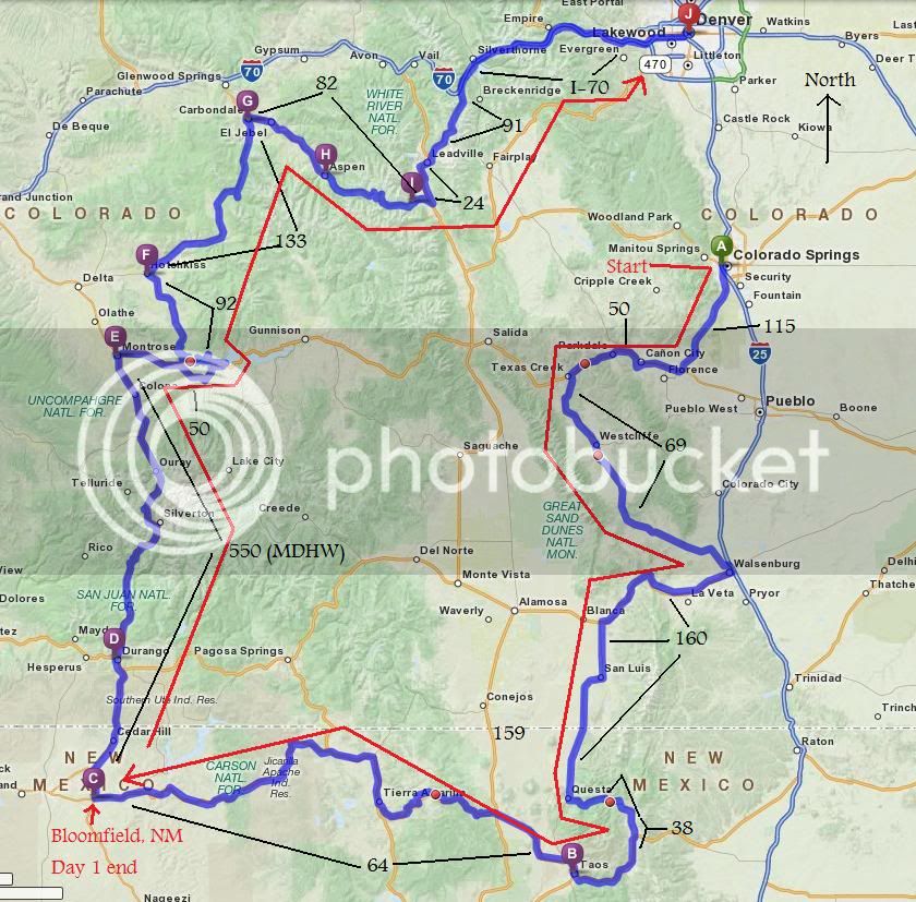
A route was drawn up that would consist of roughly 4/5 Colorado roads and 1/5 New Mexico. My good friend, Steve Farson, being familiar with the area gave me a few suggestions and I was set.
Step 3: Recruitment
I asked my riding friends if anyone would be interested in going and also asked around the local sport bike club (Colorado Sportbike Club). Initially I had 3 wingmen committed to going but as it often happens, two had last minute things come up so it was down to just me and my new friend Bob from the CSC.
Step 4: Final prep
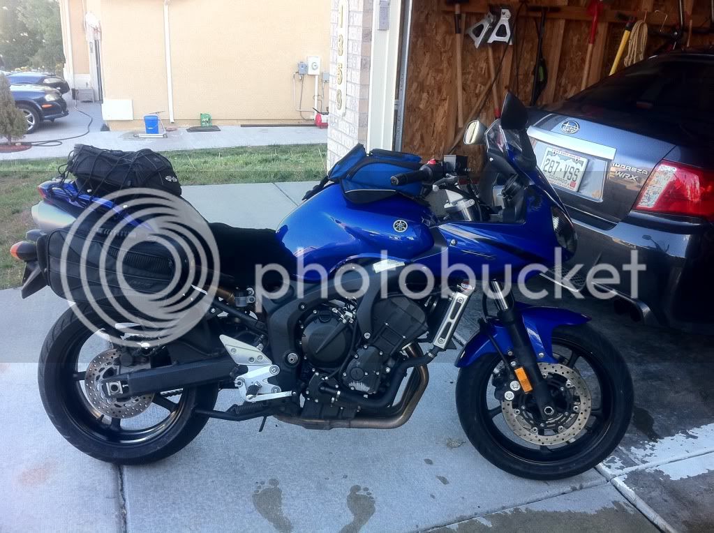
A few days before the weekend I got the bike ready for the trip. New tires, oil change, new fluids and a new sheepskin seat pad were made.
Ready to rock and roll!
Step 5: Launch
Bob left Denver, CO and we met in Colorado Springs just before 7am. It was crisp and cold with the sun just starting to come up over the horizon.
We gassed up and finished our coffee and then it was off to the races!
We made our way South West to Westcliffe, CO passing through Canon City, CO (a small prison economy based town... seriously, most of the Colorado prisons and a federal super max are in and around Canon City... The Unibomber is locked up here). A few miles from turning off Hwy 50 at Texas Creek we had our first photo op.
At this point, only an hour into our trip it was just after 8am and still pretty cold, especially at this altitude. I was starting to really wish I ordered those heated glove liners and heated vest!
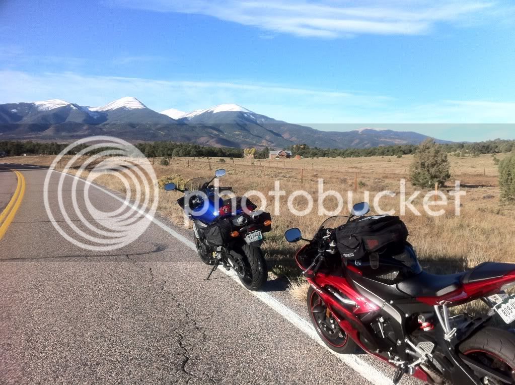
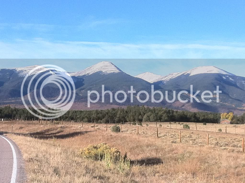
After a quick break we continued on and decided to refill our tanks in Westcliffe, CO before heading on to La Veta, CO and La Veta pass.
Bob throwing some kind of gang sign. I don't think he could feel his fingers though.
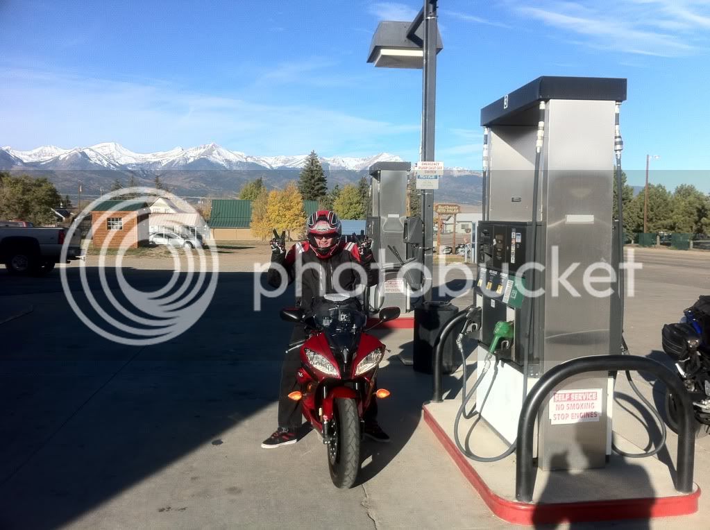
The roads after Westcliffe were long, straight with zero traffic allowing us to cruise well into the triple digit speeds for several miles at a time. As it turned out, this would be the theme for the day.
We stopped briefly in a small town around Walsenburg to make some adjustments to my rear suspension. Thankfully the sun was out in full force and things were starting to warm up.
We arrived in Le Veta and refueled again. On our way out of the sleepy little town I saw a sign for Highway 12 and I recalled Steve's suggestion of taking that road. Steve had just published The Complete Guide to Motorcycling Colorado so I figured he probably knew a thing or two about it. I told my trip companion Bob that we were changing routes, and by told I mean I hit my turn signal and abruptly turned left. Unknown at the time, this little detour would cost us lunch but it was well worth it.
Highway 12 is a pristine Colorado road running from Le Veta to Trinidad. The road is well maintained with dozens of 30-35mph (yellow sign) sweepers and no LEO presence that we encountered.
We made another quick photo stop at a dam on Hwy 12.
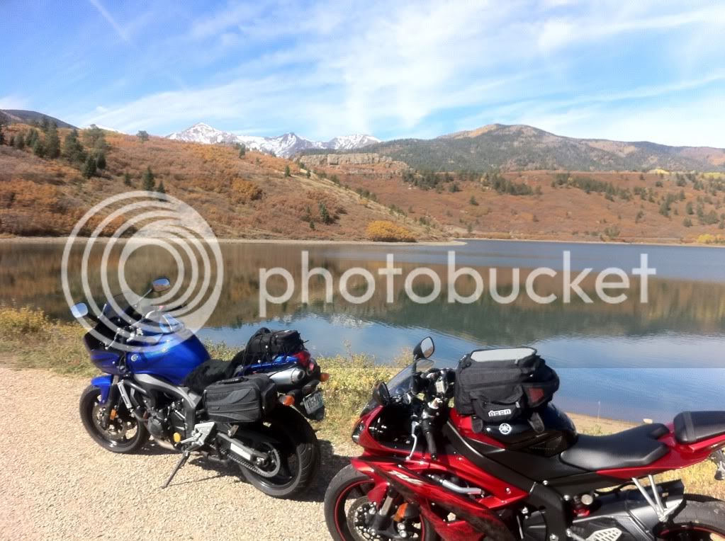
Hwy 12 put us out at Trinidad, quite a bit further west then we planned. We decided to cross over into New Mexico via I-25.
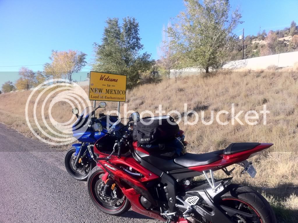
Before we crossed, Bob warned me that the New Mexico highway patrol enjoy stalking their pray close to the border and sure enough as we came on our exit for Hwy 64 just past Raton, NM there was a black and white sitting on the overpass bridge, hunting.
Now I knew what to look for. Black and whites... at least they're going to be easy to spot!
We turned on to 64 and and started our way to Eagle Nest, NM.
Hwy 64 is straight as an arrow for a few dozen miles and we were once again able to cruise at triple digit speeds. We were practically the only ones one the road. To say "there was no traffic" would be an understatement. We came across a lone car maybe every few minutes.
Following the usual rule of "fast in between towns, slow in and around towns" we came to Cimarron, NM and slowed down to around posted speeds. A sheriff was at the end of town (presumably) looking for speeders coming the other way. We waved as we rode past him at the speed limit, he waved back. As soon as we were a a mile or two away we opened the throttle back up.
A few miles past Cimarron we entered the mountains. One thing I took note of was that New Mexico uses a lot of chip sealing for their mountain roads but the roads were compacted enough to not be a problem.
A few dozen miles later we came up to Eagle Nest. Eagle nest looks like it could be straight out of a post card with his valley, lake and surrounding mountains. Highway 64 comes drops you in the middle of this and the engineers even though to include a few scenic pull offs. We made use of one here.
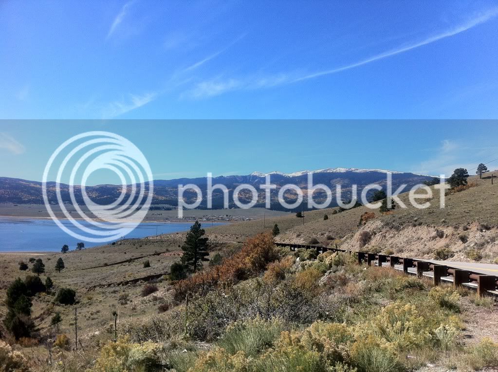
From Eagle Nest it was on to Taos. Once we hit Taos we encountered heavy traffic for the first (and only) time of the day. It was surprisingly thick going through town. It reminded me of riding through Aspen but without the ****** bags darting in front of you like deer in high heels with shopping bags. Low on fuel our first priority was finding a gas station. The town's gas stations are pretty much all at the end of town, which meant wadding back through traffic if we wanted to get lunch.
Fueling up for $3.09/gal and sweating in the 85 degree temperature provided a nice break from the $3.79 and 50 degrees we started the day with.
Since we were short on time due to the Hwy 12 detour we decided to skip lunch and push on. Despite being the trip's namesake I didn't get a single picture of Taos but take my word for it it's a nice place to visit.
We continued our push on Hwy 64 and came to the Rio Grande Gorge Bridge (or simply the "Gorge bridge" as it is known locally).
Another quick photo stop!
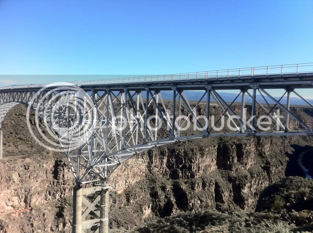
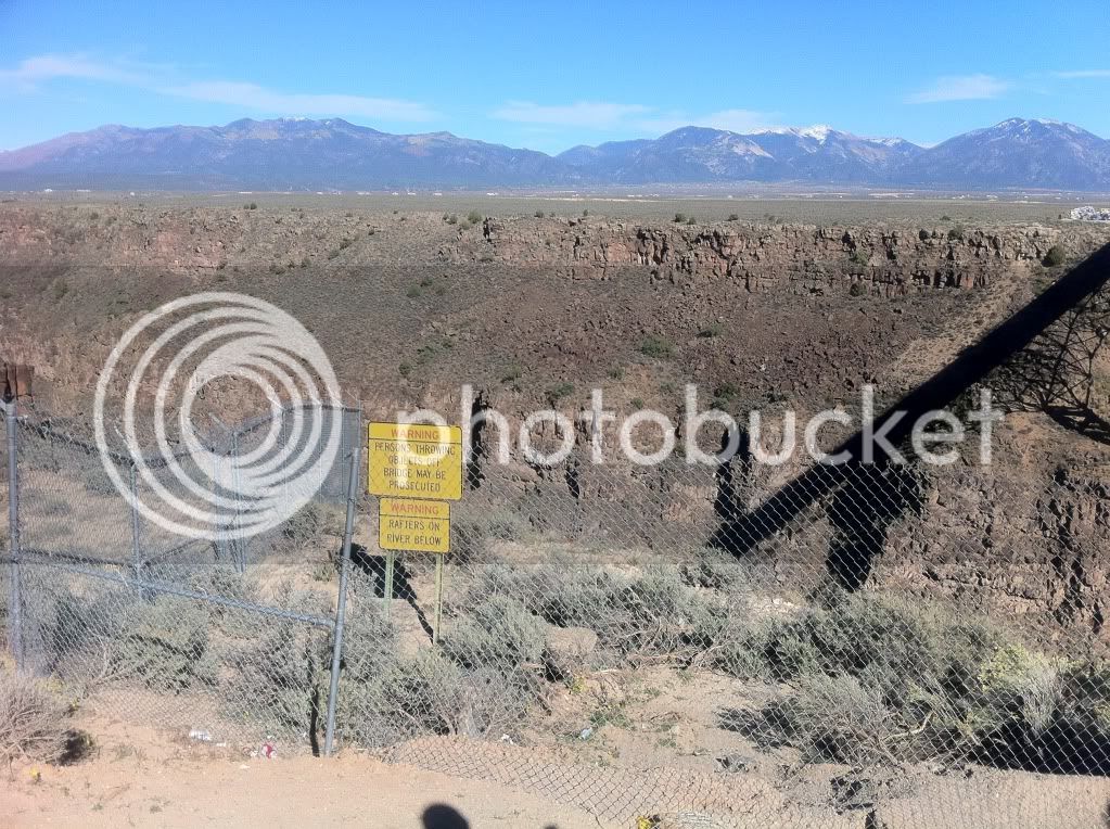
After the bridge 64 continued to be a long, straight and fairly boring road (but pretty).
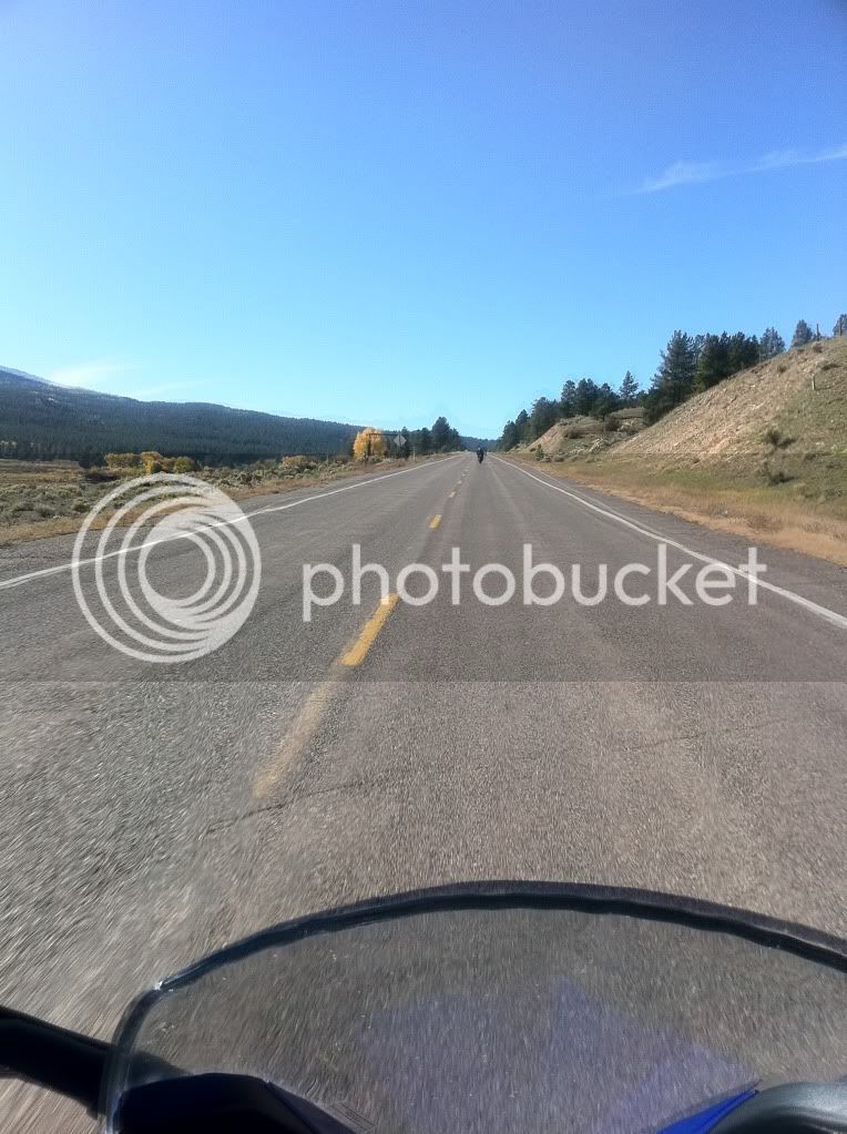
That is until we came to the very familiar highway 285 at Tres Piedras.
Crossing 285 is like crossing the rail road tracks from the bad part of town to the good part. Immediately past 285 we re-entered the mountains and the wide mounted sweepers we came for.
Ohhhh, yes!
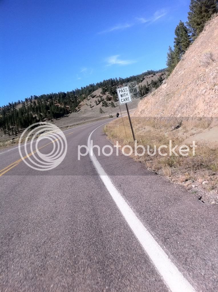
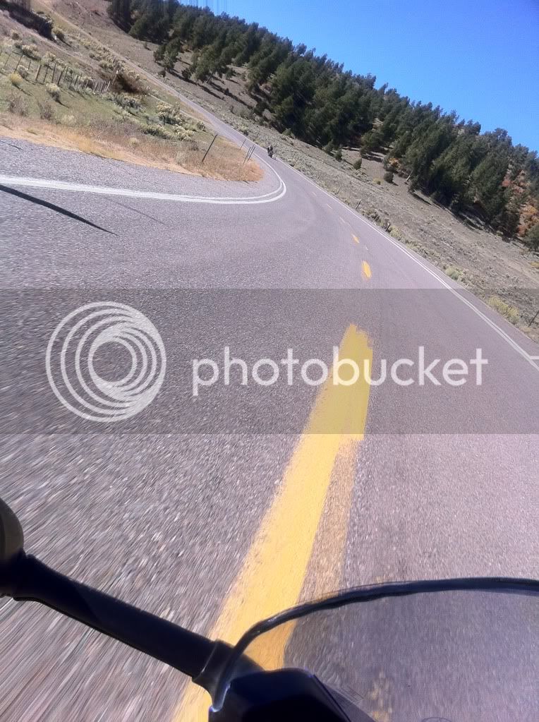
Somewhere in the Carson National Forest we came across a large scenic overlook area and we were once again, the only ones there.
Again, the pictures just can't do it justice.
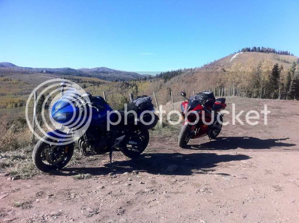
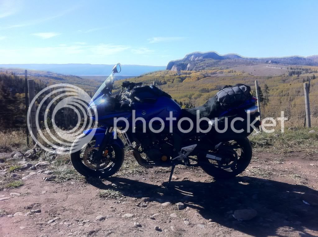
For all of the time we spent on 64 in the mountains, we saw maybe 20 other cars. This road was effectively our private race track.
We stopped for fuel in Chama. At this point it was already 5pm and I was wondering if we could make it to Farmington by the 6:30 sunset.
I calculated that we had just enough time and we set out. Until... we ran into road construction a few miles down the road. I seem to recall Steve talking about the heavy road construction west of Chama. Damnit, he was right.
They were repaving about 6 miles of road and running a pilot truck back and forth. This meant waiting for about 15 minutes for the pilot truck to circle back.
That's it... we're going to be riding in the dark, damnit.
We made the best of it though and struck up conversations with our fellow motorist took some pictures.
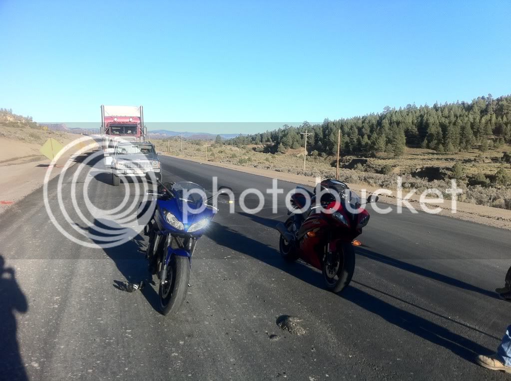
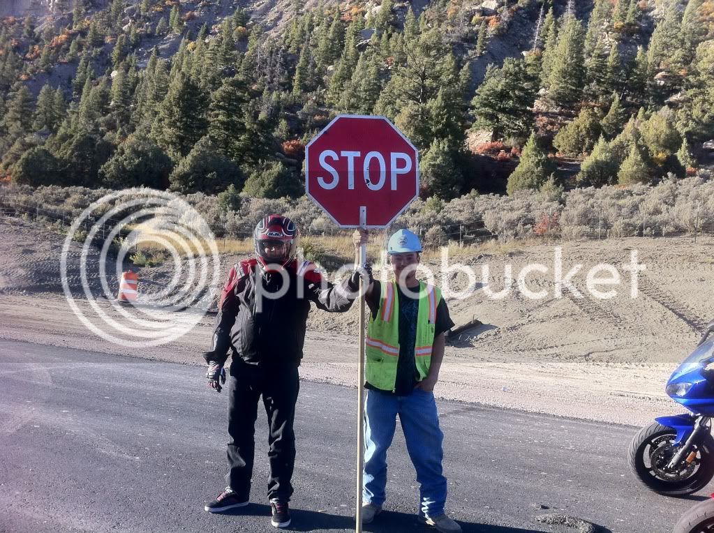
In this one, you'll notice where the sun is... yeah, that's bad.
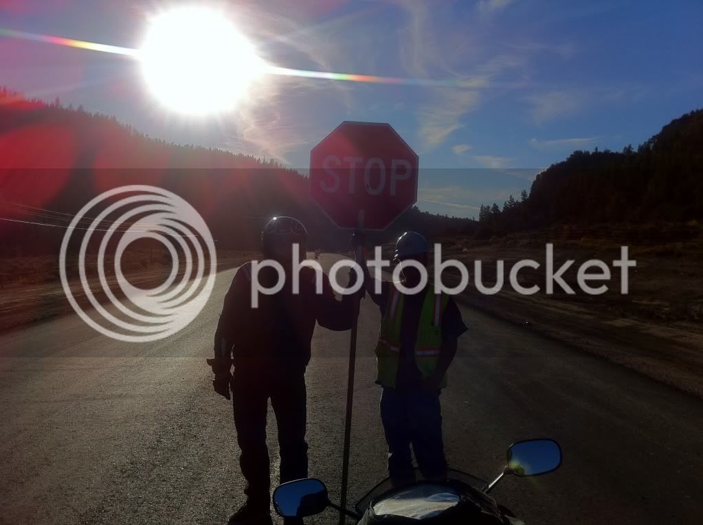
Heading west with the sun directly in front of me was not my first choice.
At Dulce I pulled over to throw some layers back on and it was at this point I realized that I had no head lights. My fuse had blown sometime earlier in the day.
OH... ****...
I felt like Will Smith in I am legend racing against the sun before the zombie vampires came out. I blew past Bob trying to cover the last 50 miles with 30 minutes of day light left and the sun in my eyes. I saw a gas station off the side of the road and pulled in but they were closed. I waited for Bob to let him know why I was in such a hurry and that plan B was to just follow behind him and his working headlights but I thought I could make it at least to Bloomfield.
Another dozen miles and another gas station but they were... you guessed it, closed. Really? Are you kidding me??
Finally about 10 miles from Bloomfield with the sun just about gone I came across a small corner store that was still opened. I wasn't sure were the fuse box on my bike was located so I pulled out my phone. For being in the middle of no-where, I had AT&T cell phone service pretty much everywhere. A quick Google search and I had the bike's electrical schematics pulled up. Thanks iPhone!
The corner store didn't have any mini fuses but Yamaha in their genius included a spare 10 and 20 amp fuse in the box. All I needed was a fuse puller since I must have lost my plyers. The girl at the corner store nice enough(and easy on the eyes!) to search through her truck looking for a puller. Amazingly she had one and even let me keep it in case it happened again (and it did).
Fuse replaced, let there be light! This was a good thing since it was now completely dark and the only light was coming from the stars and a caravan of oil/gas trucks driving into town us on their way home. Oil and natural gas is the local economy there hence the low gas prices. We booked our hotel over the phone and we were on the road again. I noticed that my highbeam headlight (re-wired to power the low beam instead) was flickering based on RPM. Not a good sign.
We made it to the hotel in Bloomfield and dropped off the luggage bags. Bloomfield however has no restaurants to speak of so I pulled up my map app on the phone and found a Chili's in Farmington just 13 miles away. What's another 13 miles and back? We got to Farmington and as soon as I turned into main street my lights went out again. Damnit!
It wasn't a problem though this time since we had street lights and a Autozone just up the road. I bought a pack o' mini fuses and determined I must have not properly grounded my high-beem light (which I had re-wired the previous week to turn on dual low beams instead of 1 low, 1 high). I would just have to make do with 1 head light. We saw a the familiar sight of Chili's and stopped there for dinner.
I know what you're thinking... travel to a foreign land just to stop at the equivalent of a sit-down McDonald's (and the oil fields of New Mexico is practically a foreign land to a guy from "******-white-ville, Colorado") Oh well... after 13 hours on the bike I wasn't up for going on a "adventure" cuisine.
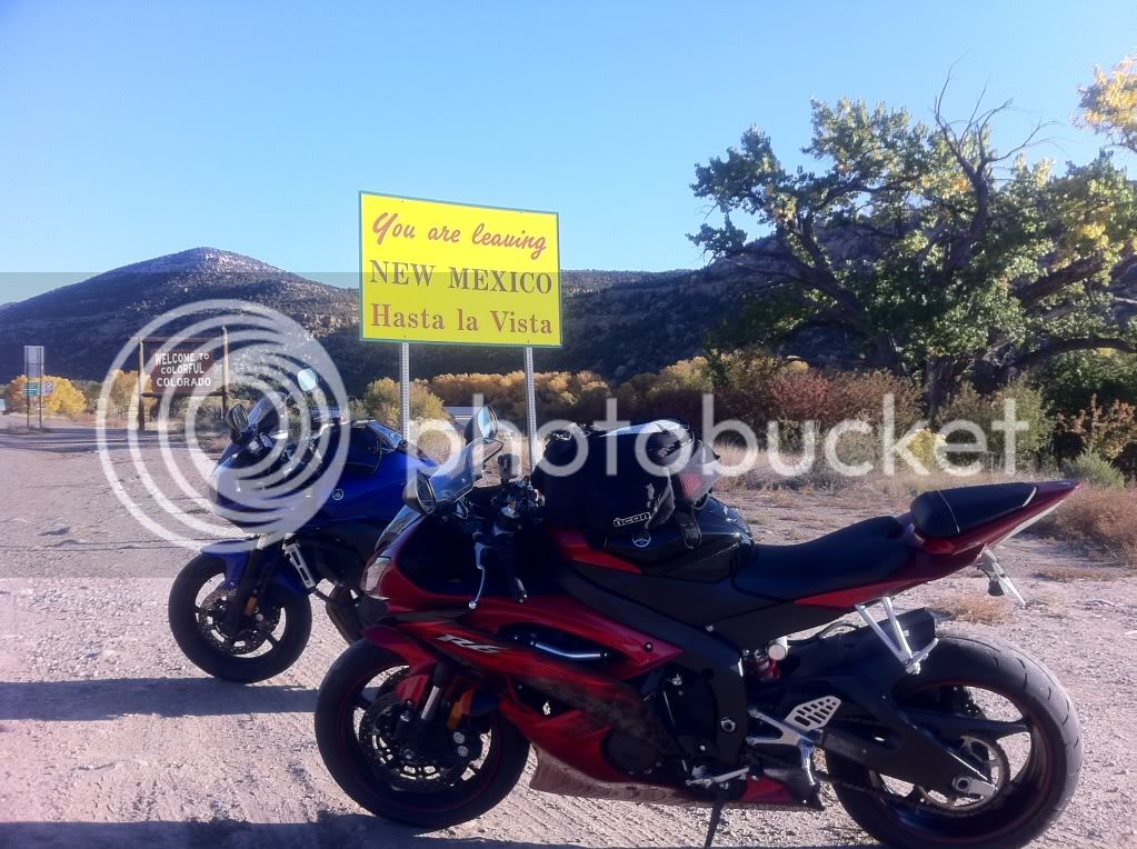
I didn't sleep too well that night. The next morning we got a late start and left Bloomfield, NM at 8am. Within 30 minutes we were crossing back into Colorado.
Hasta la vista New Mexico!
Notice how our sign (Colorado) is way cooler.
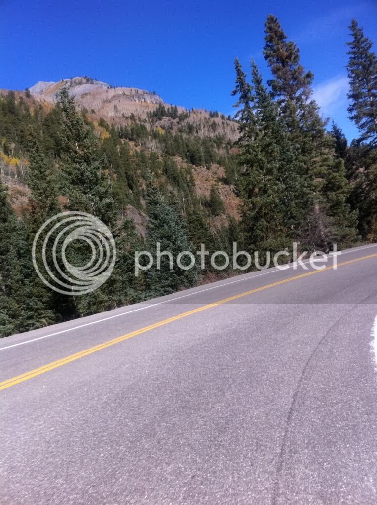
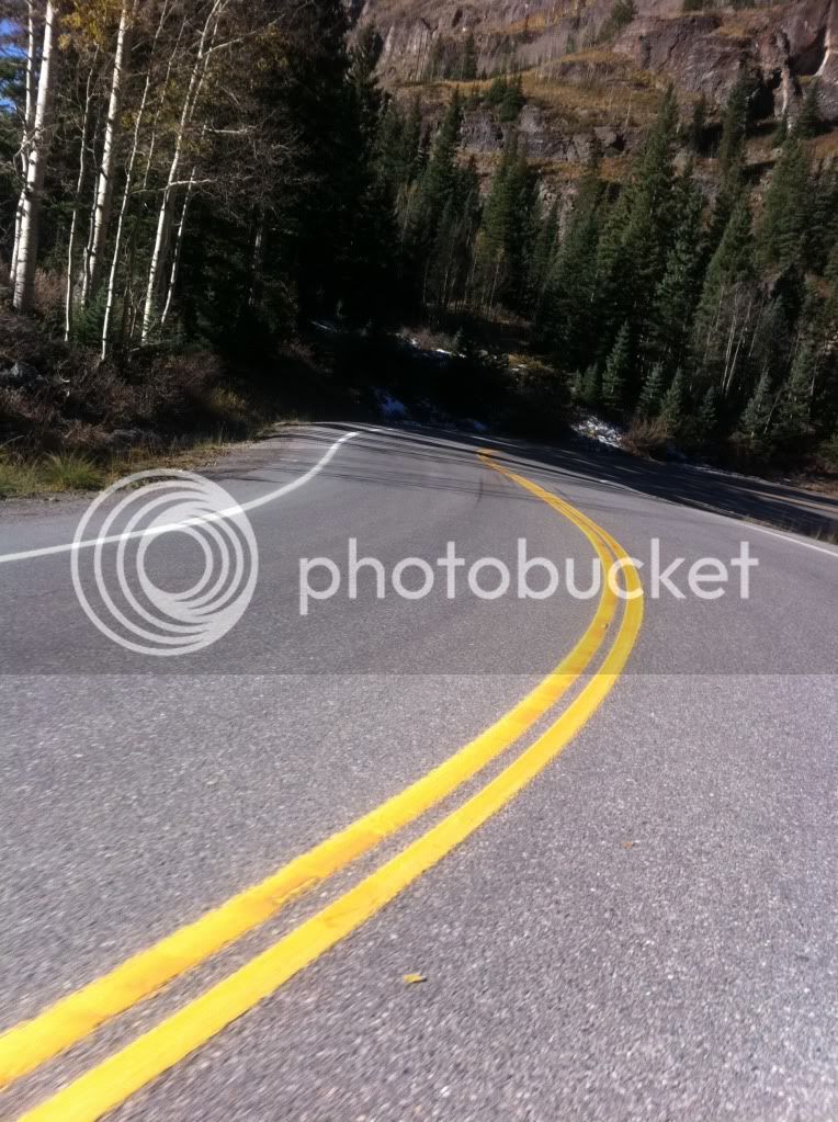
Before long we were riding past Durango, CO and heading to Silverton, CO. Red mountain awaited us.
Ahhh, it's good to be home!
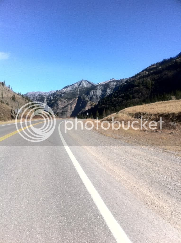
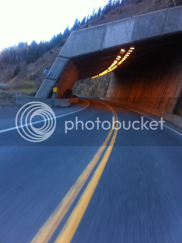
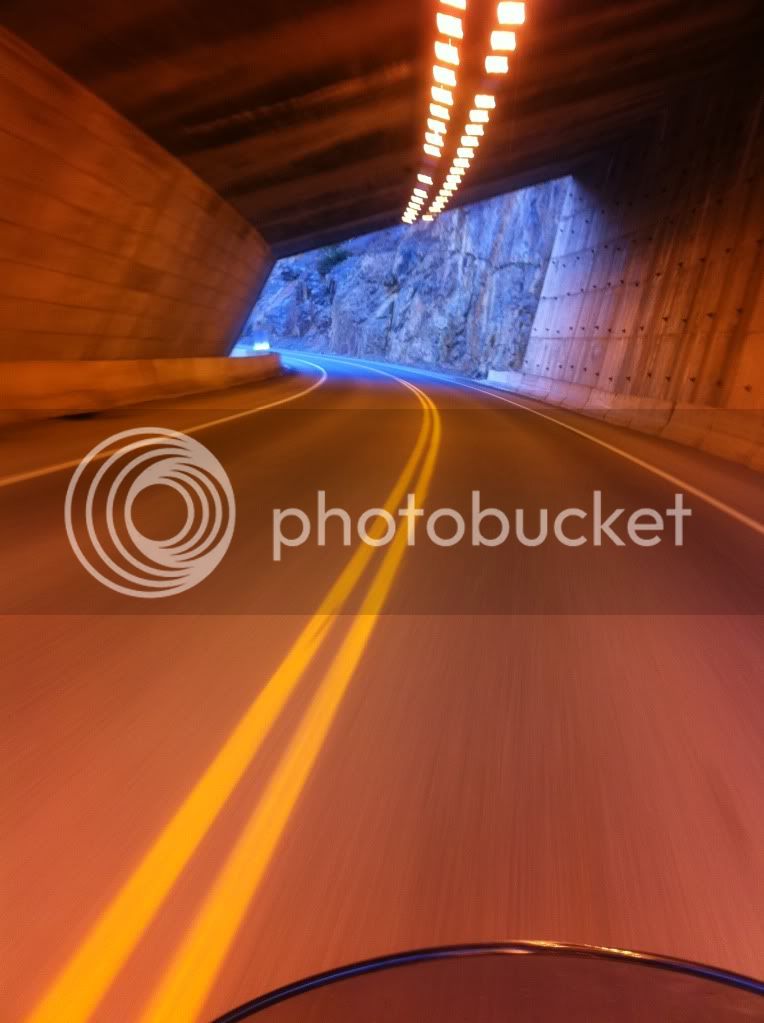
An avalanche tunnel.
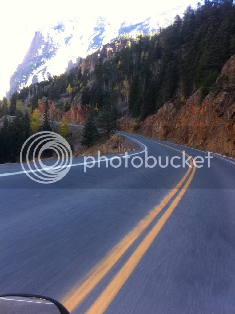
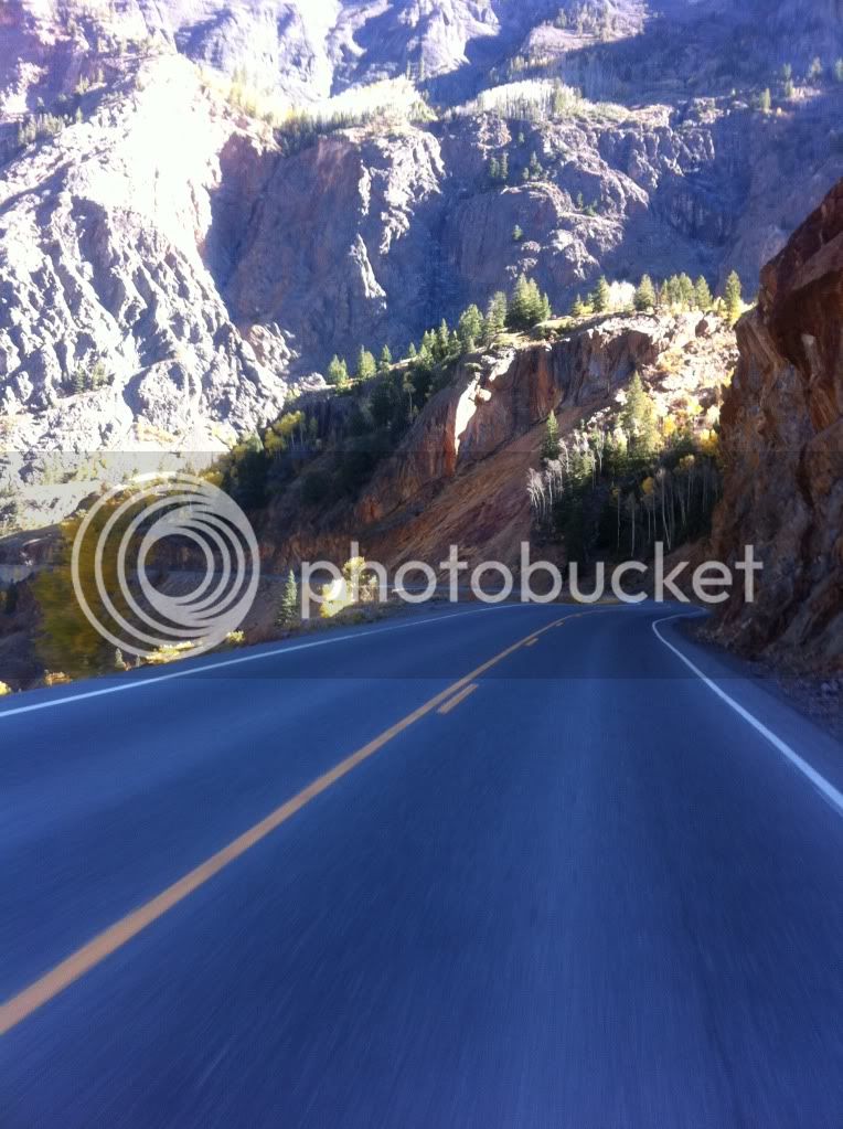
Just before Ouray, CO we stopped at a bridge that construction crews had been building all summer. Even though I had been on this same bridge a few times before but I never noticed the waterfall underneath. I was surprised to see a crew working on a Sunday. They were friendly and enjoyed showing us their work. The foreman allowed us onto the small overlook they had just built even though it wasn't technically "open" yet.
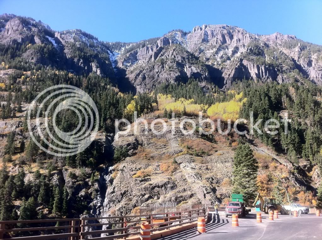
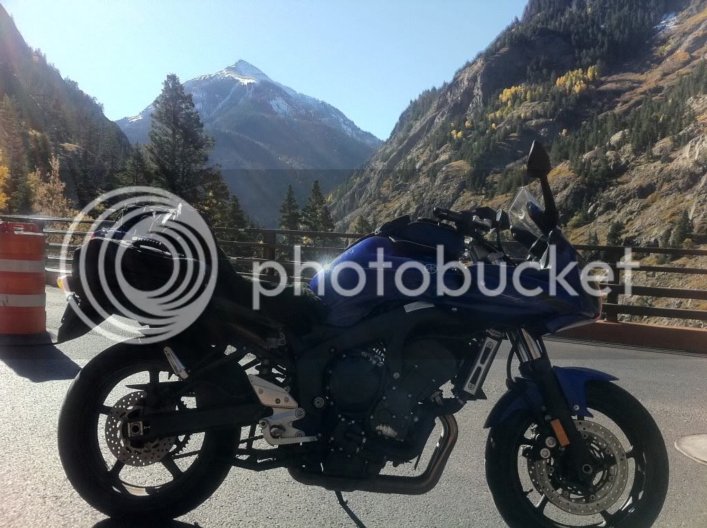
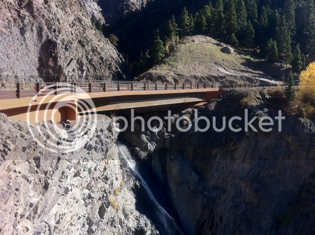
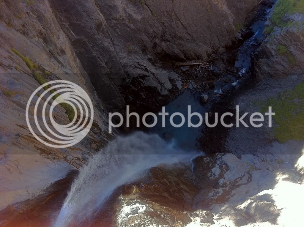
We took this opportunity to check on Bob's front tire. The afternoon before I noticed he was at his wear-bar in some sections and now after a lot of aggressively canyon riding I wanted to check on it again. The tire was now well past the wear bars and some structural rubber was starting to peak through in patches on the side. Uh oh. He still had plenty of rubber remaining in the middle of the tire (a Q2).
Being Sunday, all the motorcycle stores were closed so getting a new front tire wasn't an option.
We continued on to Ridgeway 15 miles up the road to review and come up with a game plan for the tire. By now the patches had expanded even further in just 15 miles. Even going the short way, it was still about 340 miles to home for Bob. He decided to ride to nearby Grand Junction, CO, leave the bike with a friend and get a rental car to get home. After a quick lunch stop at Qdoba in Montrose, CO Bob and I parted ways.
(Update: Bob rode down to Grand Junction and met up with his friend who was racing at a go-kart track. He met another racer that drove from Denver and had room in their trailer for Bob's bike. They offered to take the bike back and Bob rented a car to get home.
After Montrose I turned the bike east onto Highway 50 and The Black Canyon. I've done this road many times and it's always one of my favorites providing high speed sweeper after sweeper for over 50 miles.
I saw a Colorado Highway Patrol Trooper on Hwy 50 but lucky (for me) he already had someone pulled over. This would be the only CO trooper I saw on the entire trip.
Thanks budget cutbacks? WIN!
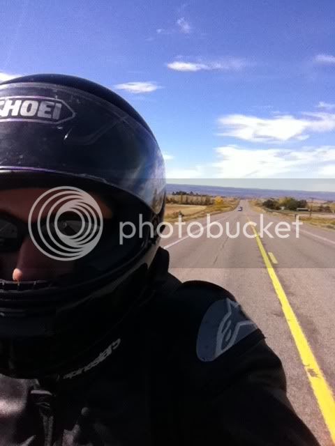
I got to Blue Mesa in about 35 minutes.
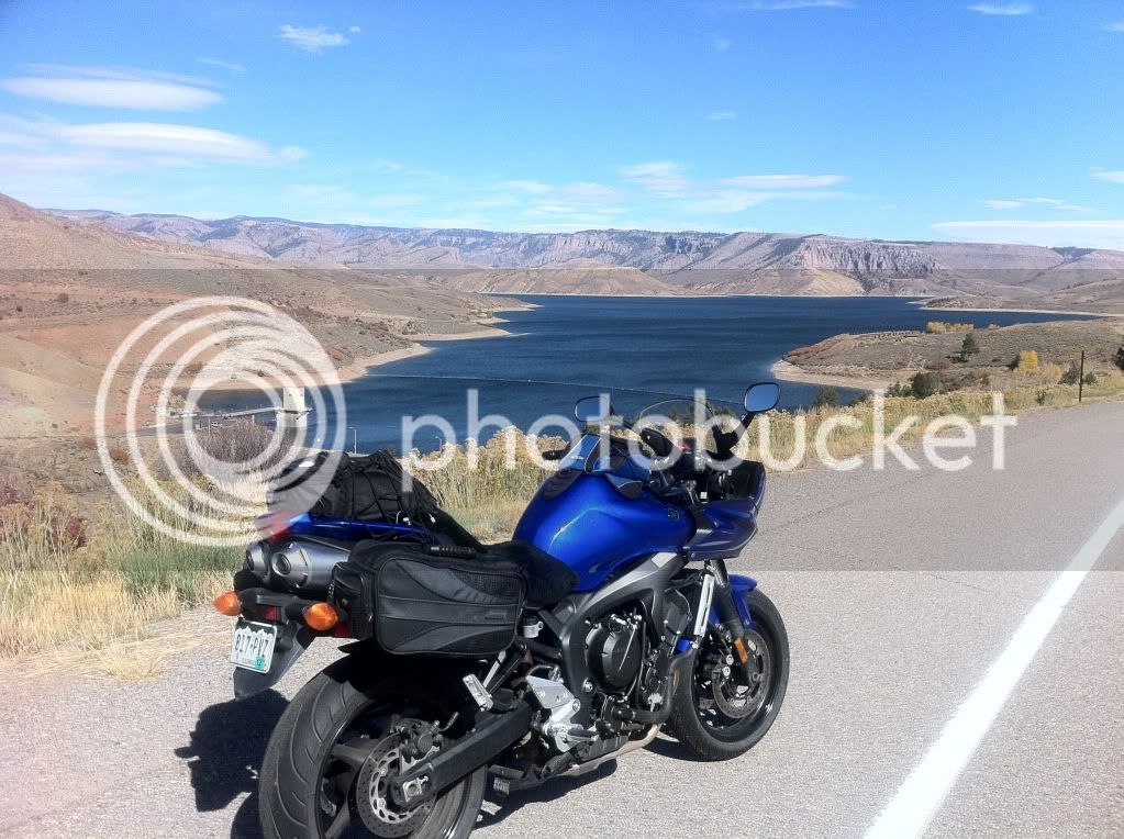
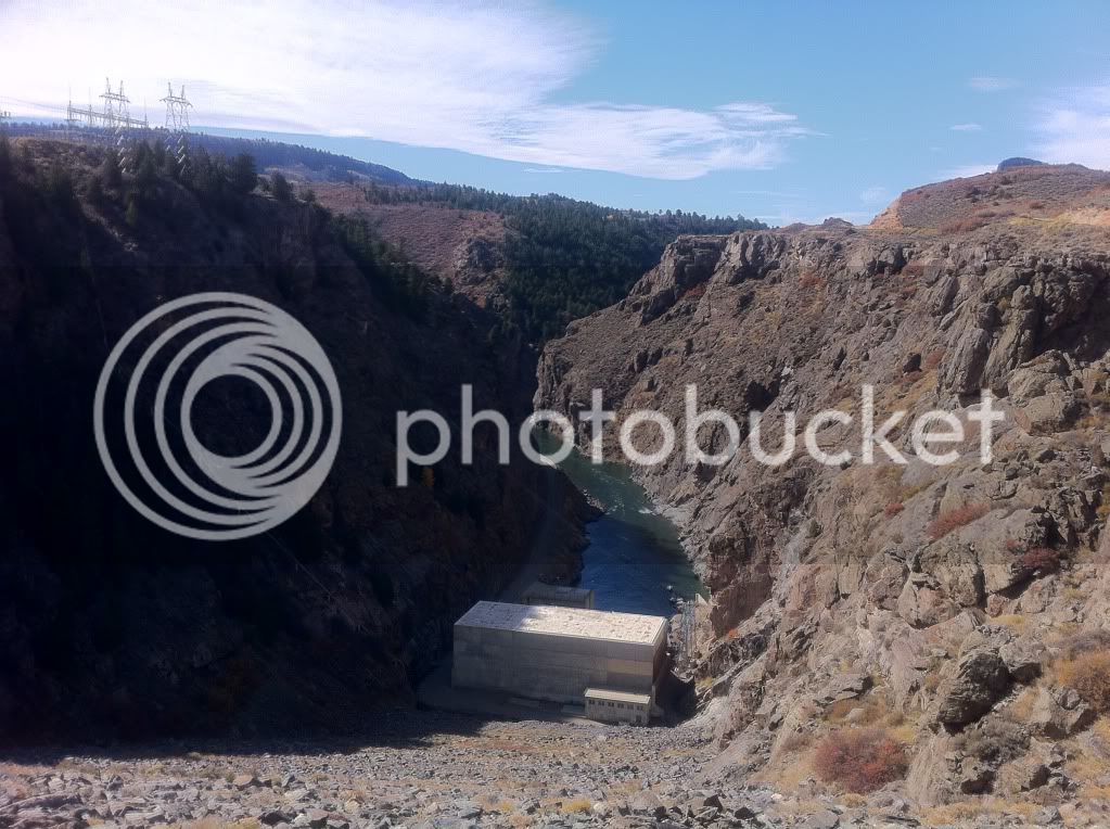
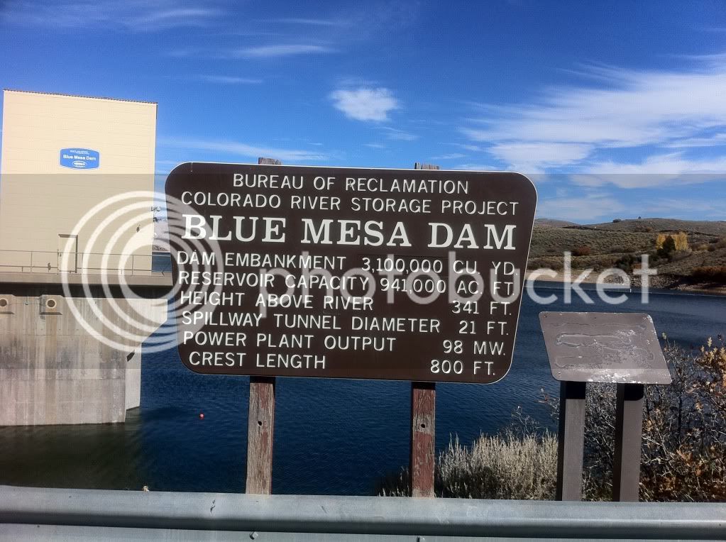
I went to the summit in The Black Canyon and took a few more pictures.
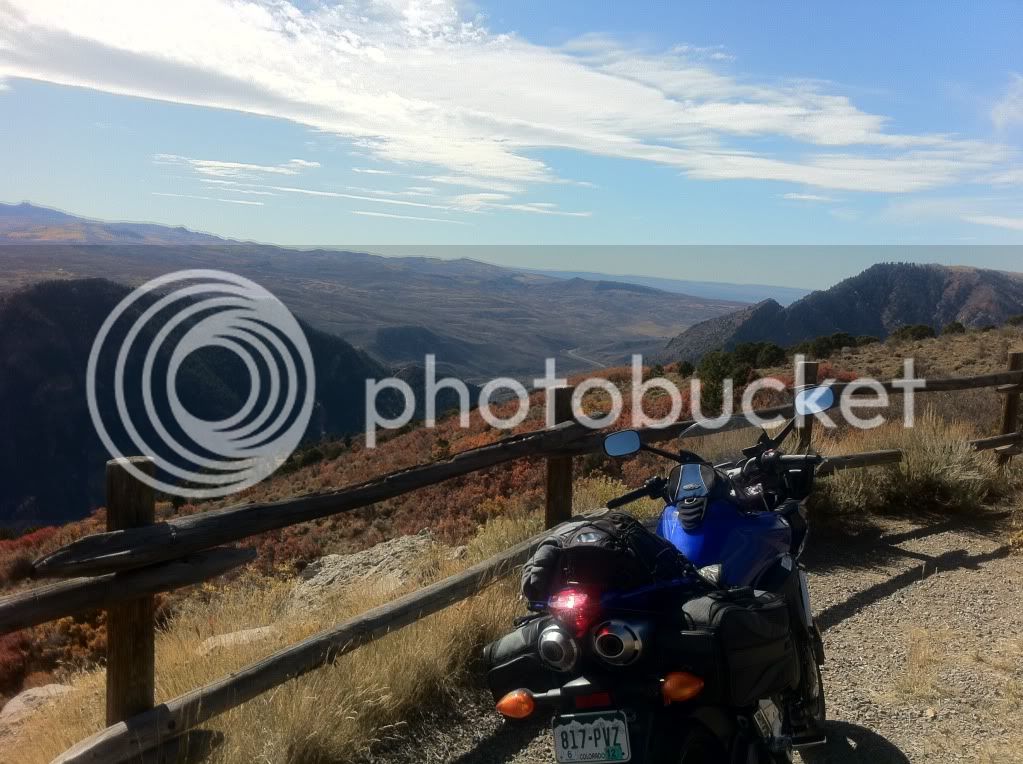
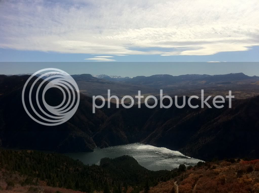
At this point it was nearing 3 o'clock in the afternoon so I knew I had about 3.5 hours of day light left. I could either ride North east to Carbondale, Aspen and Independence pass as planned but that would mean riding the last 100 miles home in the dark, something I had to do the month before (and it royally sucked! The mountains at night with a weak head light = NOT FUN!) or I could double back down the canyon and take Hwy 50 east towards Gunnison, CO and get home right around 6:30 in the evening.
I opted for the Gunnison route, which was just as fun. A lot more high speed sweepers and Monarch mountain/Monarch Pass to look forward to.
I made my last fuel stop in Gunnison before heading to Monarch Only 170ish miles from home.
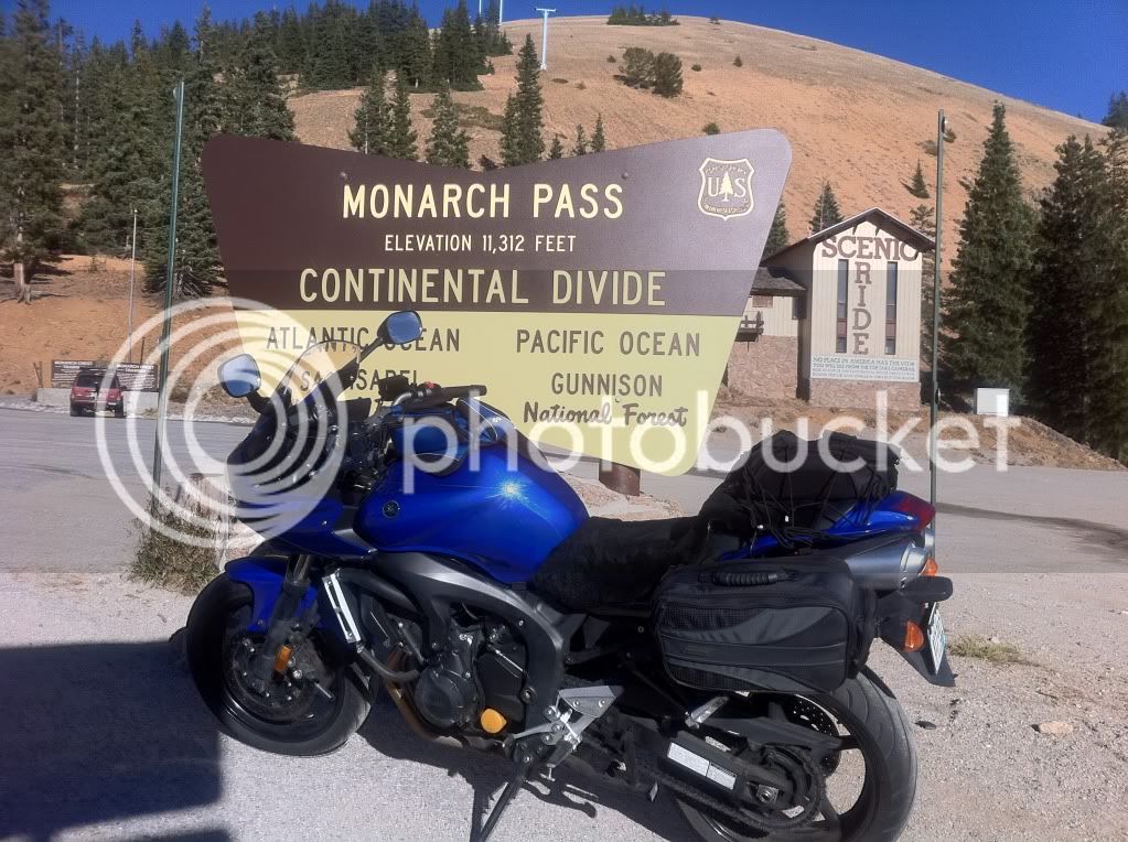
Going up Monarch I had the realization that eastbound Hwy 50 up Monarch is a hell of a lot more fun then westbound Hwy 50 (which is my usual route). I was now ahead of schedule so I made use of it for one last photo op.
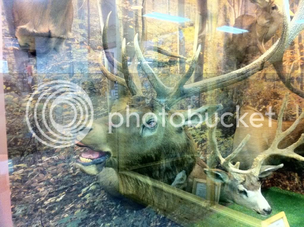
At the summit of Monarch there is a large gift shop at the summit and they have a "Animals of Colorado" taxidermy collection. Which really should be called "Animals of Colorado that want to murder you" given that I have seen every one of them run out in front of me at one point or another. Hitting (or splitting) a deer at high speed is bad enough... imagine hitting a 1,000 pound bull elk.
I probably would have to given this guy a different expression:
It's as if he's saying "Blaarrggggg ....I will murder you!!"
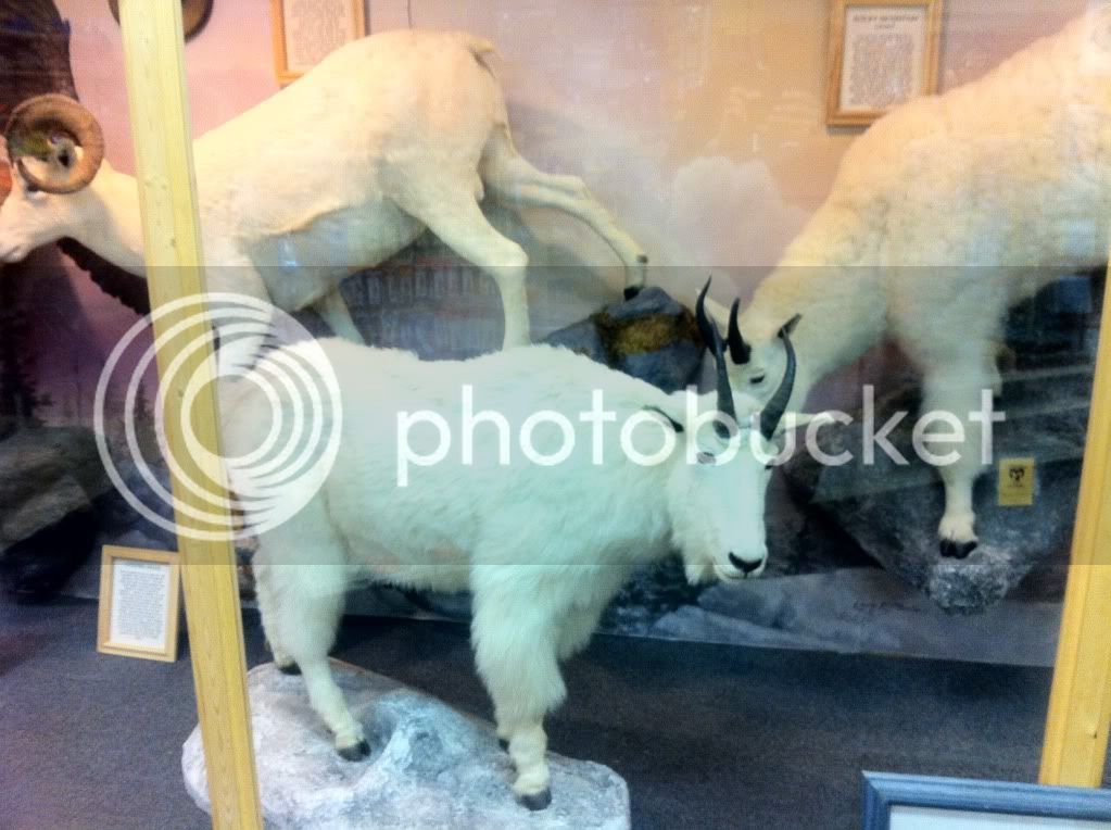
I saw a herd of these antelope between Salida and Canon City a few weeks ago:

After leaving Monarch behind me I entered Salida a short time later. The section of Hwy 50 between Salida and 10 miles west of Canon City is a real gem. I was about to make a pass of another car when I saw an accident with police and EMTs around the next corner. An elderly woman, driving on her oxygen ran out and while changing bottles she drove into the rock cliff. (She was okay by the way) I guess she was in a hurry and didn't want to pull over to change bottles. While I was waiting a few minutes to be waved through the accident I struck up a conversation with a Fremont County Sheriff (more on that in a minute). Turns out he's a rider too. I asked him what happened and if there we're any more cops between there and highway 50. After getting waved through it was back to the fun stuff. I ended up behind 2 other sport bike riders (A ninja 1000 or 1400) and a Kawi Concourse. Both had luggage. They were cruising along with traffic so I passed them to see if they wanted to play.
They did.
For the next 30 miles we had a blast going through the last real canyon road of the ride.
Once we came out of the mountains my new friends and I slowed down to normal traffic speeds and waded through Canon City before heading back to Colorado Springs via Hwy 115.
A few miles after turning onto Highway 115 a Fremont County Sheriff came out of no where and lit us up. He was after the lead guy (with the Ninja) so his buddy and me pulled over as well and waited behind the cop's car.
This was my first chance to say hello to my new friends. While we were waiting for the cop to finish he told me that they were also from Colorado Springs and rode to Ouray yesterday and were heading home. The lead guy got pinched doing 74 in a 60.
A few minutes later the cop came back with the license/reg, told us to slow down and sent us on our way without a performance award!
That was the only encounter with LEO for the entire trip.
The next weekend I went back to Highway 50 and got nailed by the first Fremont County Sheriff who was coming around a wide corner. It was the same sheriff that I *********** with for a few minutes at the rock cliff accident. He cut me a huge break on the ticket so I could just pay the fine and mail it in (instead of a mandatory appearance) but he just couldn't give me a warning for "that fast". That's the only ticket of season... almost made it!
I got home at around 7 with 1,055 miles total.
This was, easily one of my best trips ever. I can't wait to do it again!
-Clovis
Okay, so this wasn't done on a FJR but it was done on something kind of similar. My 2007 Yamaha FZ6.
If you're not familiar with the Yamaha FZ6 (or it's big brother, the FZ1) think of it as a cross between a super sport and a sport tourer. The FZ6 is an inexpensive machine and somewhat uncommon state side. I haven't ran into many other FZ6 owners in Colorado. Even though the bike has a passenger seat, it's really a 1 person machine. The bike utilizes a R6 engine re-tuned for greater mid-range power delivery (14,000 red line), a 6 speed transmission and half fairings. Top speed is around 135mph at high-altitude (6000+ feet) -- around sea level it could probably hit 150mph.
Okay, so on the ride report!
I'm from Colorado Springs, CO so that's where this trip starts and ends.
Date: October 15 and 16, 2011.
Step 1: Target selection!
For my last trip of the season I wanted to go somewhere new.
Given the colder temperatures this time of year, going south into New Mexico was the obvious choice. I started exploring possible routes that I could complete within 1,000 miles or two days. I settled on Taos, NM.
Step 2: Plan of attack
A route was drawn up that would consist of roughly 4/5 Colorado roads and 1/5 New Mexico. My good friend, Steve Farson, being familiar with the area gave me a few suggestions and I was set.

Step 3: Recruitment
I asked my riding friends if anyone would be interested in going and also asked around the local sport bike club (Colorado Sportbike Club). Initially I had 3 wingmen committed to going but as it often happens, two had last minute things come up so it was down to just me and my new friend Bob from the CSC.
Step 4: Final prep
A few days before the weekend I got the bike ready for the trip. New tires, oil change, new fluids and a new sheepskin seat pad were made.
Ready to rock and roll!

Step 5: Launch
Bob left Denver, CO and we met in Colorado Springs just before 7am. It was crisp and cold with the sun just starting to come up over the horizon.
We gassed up and finished our coffee and then it was off to the races!
We made our way South West to Westcliffe, CO passing through Canon City, CO (a small prison economy based town... seriously, most of the Colorado prisons and a federal super max are in and around Canon City... The Unibomber is locked up here). A few miles from turning off Hwy 50 at Texas Creek we had our first photo op.
At this point, only an hour into our trip it was just after 8am and still pretty cold, especially at this altitude. I was starting to really wish I ordered those heated glove liners and heated vest!


After a quick break we continued on and decided to refill our tanks in Westcliffe, CO before heading on to La Veta, CO and La Veta pass.
Bob throwing some kind of gang sign. I don't think he could feel his fingers though.

The roads after Westcliffe were long, straight with zero traffic allowing us to cruise well into the triple digit speeds for several miles at a time. As it turned out, this would be the theme for the day.
We stopped briefly in a small town around Walsenburg to make some adjustments to my rear suspension. Thankfully the sun was out in full force and things were starting to warm up.
We arrived in Le Veta and refueled again. On our way out of the sleepy little town I saw a sign for Highway 12 and I recalled Steve's suggestion of taking that road. Steve had just published The Complete Guide to Motorcycling Colorado so I figured he probably knew a thing or two about it. I told my trip companion Bob that we were changing routes, and by told I mean I hit my turn signal and abruptly turned left. Unknown at the time, this little detour would cost us lunch but it was well worth it.
Highway 12 is a pristine Colorado road running from Le Veta to Trinidad. The road is well maintained with dozens of 30-35mph (yellow sign) sweepers and no LEO presence that we encountered.
We made another quick photo stop at a dam on Hwy 12.

Hwy 12 put us out at Trinidad, quite a bit further west then we planned. We decided to cross over into New Mexico via I-25.

Before we crossed, Bob warned me that the New Mexico highway patrol enjoy stalking their pray close to the border and sure enough as we came on our exit for Hwy 64 just past Raton, NM there was a black and white sitting on the overpass bridge, hunting.
Now I knew what to look for. Black and whites... at least they're going to be easy to spot!
We turned on to 64 and and started our way to Eagle Nest, NM.
Hwy 64 is straight as an arrow for a few dozen miles and we were once again able to cruise at triple digit speeds. We were practically the only ones one the road. To say "there was no traffic" would be an understatement. We came across a lone car maybe every few minutes.
Following the usual rule of "fast in between towns, slow in and around towns" we came to Cimarron, NM and slowed down to around posted speeds. A sheriff was at the end of town (presumably) looking for speeders coming the other way. We waved as we rode past him at the speed limit, he waved back. As soon as we were a a mile or two away we opened the throttle back up.
A few miles past Cimarron we entered the mountains. One thing I took note of was that New Mexico uses a lot of chip sealing for their mountain roads but the roads were compacted enough to not be a problem.
A few dozen miles later we came up to Eagle Nest. Eagle nest looks like it could be straight out of a post card with his valley, lake and surrounding mountains. Highway 64 comes drops you in the middle of this and the engineers even though to include a few scenic pull offs. We made use of one here.

From Eagle Nest it was on to Taos. Once we hit Taos we encountered heavy traffic for the first (and only) time of the day. It was surprisingly thick going through town. It reminded me of riding through Aspen but without the ****** bags darting in front of you like deer in high heels with shopping bags. Low on fuel our first priority was finding a gas station. The town's gas stations are pretty much all at the end of town, which meant wadding back through traffic if we wanted to get lunch.
Fueling up for $3.09/gal and sweating in the 85 degree temperature provided a nice break from the $3.79 and 50 degrees we started the day with.
Since we were short on time due to the Hwy 12 detour we decided to skip lunch and push on. Despite being the trip's namesake I didn't get a single picture of Taos but take my word for it it's a nice place to visit.
We continued our push on Hwy 64 and came to the Rio Grande Gorge Bridge (or simply the "Gorge bridge" as it is known locally).
Another quick photo stop!


After the bridge 64 continued to be a long, straight and fairly boring road (but pretty).

That is until we came to the very familiar highway 285 at Tres Piedras.
Crossing 285 is like crossing the rail road tracks from the bad part of town to the good part. Immediately past 285 we re-entered the mountains and the wide mounted sweepers we came for.
Ohhhh, yes!


Somewhere in the Carson National Forest we came across a large scenic overlook area and we were once again, the only ones there.
Again, the pictures just can't do it justice.


For all of the time we spent on 64 in the mountains, we saw maybe 20 other cars. This road was effectively our private race track.
We stopped for fuel in Chama. At this point it was already 5pm and I was wondering if we could make it to Farmington by the 6:30 sunset.
I calculated that we had just enough time and we set out. Until... we ran into road construction a few miles down the road. I seem to recall Steve talking about the heavy road construction west of Chama. Damnit, he was right.
They were repaving about 6 miles of road and running a pilot truck back and forth. This meant waiting for about 15 minutes for the pilot truck to circle back.
That's it... we're going to be riding in the dark, damnit.
We made the best of it though and struck up conversations with our fellow motorist took some pictures.


In this one, you'll notice where the sun is... yeah, that's bad.

Heading west with the sun directly in front of me was not my first choice.
At Dulce I pulled over to throw some layers back on and it was at this point I realized that I had no head lights. My fuse had blown sometime earlier in the day.
OH... ****...
I felt like Will Smith in I am legend racing against the sun before the zombie vampires came out. I blew past Bob trying to cover the last 50 miles with 30 minutes of day light left and the sun in my eyes. I saw a gas station off the side of the road and pulled in but they were closed. I waited for Bob to let him know why I was in such a hurry and that plan B was to just follow behind him and his working headlights but I thought I could make it at least to Bloomfield.
Another dozen miles and another gas station but they were... you guessed it, closed. Really? Are you kidding me??
Finally about 10 miles from Bloomfield with the sun just about gone I came across a small corner store that was still opened. I wasn't sure were the fuse box on my bike was located so I pulled out my phone. For being in the middle of no-where, I had AT&T cell phone service pretty much everywhere. A quick Google search and I had the bike's electrical schematics pulled up. Thanks iPhone!
The corner store didn't have any mini fuses but Yamaha in their genius included a spare 10 and 20 amp fuse in the box. All I needed was a fuse puller since I must have lost my plyers. The girl at the corner store nice enough(and easy on the eyes!) to search through her truck looking for a puller. Amazingly she had one and even let me keep it in case it happened again (and it did).
Fuse replaced, let there be light! This was a good thing since it was now completely dark and the only light was coming from the stars and a caravan of oil/gas trucks driving into town us on their way home. Oil and natural gas is the local economy there hence the low gas prices. We booked our hotel over the phone and we were on the road again. I noticed that my highbeam headlight (re-wired to power the low beam instead) was flickering based on RPM. Not a good sign.
We made it to the hotel in Bloomfield and dropped off the luggage bags. Bloomfield however has no restaurants to speak of so I pulled up my map app on the phone and found a Chili's in Farmington just 13 miles away. What's another 13 miles and back? We got to Farmington and as soon as I turned into main street my lights went out again. Damnit!
It wasn't a problem though this time since we had street lights and a Autozone just up the road. I bought a pack o' mini fuses and determined I must have not properly grounded my high-beem light (which I had re-wired the previous week to turn on dual low beams instead of 1 low, 1 high). I would just have to make do with 1 head light. We saw a the familiar sight of Chili's and stopped there for dinner.
I know what you're thinking... travel to a foreign land just to stop at the equivalent of a sit-down McDonald's (and the oil fields of New Mexico is practically a foreign land to a guy from "******-white-ville, Colorado") Oh well... after 13 hours on the bike I wasn't up for going on a "adventure" cuisine.
I didn't sleep too well that night. The next morning we got a late start and left Bloomfield, NM at 8am. Within 30 minutes we were crossing back into Colorado.
Hasta la vista New Mexico!
Notice how our sign (Colorado) is way cooler.

Before long we were riding past Durango, CO and heading to Silverton, CO. Red mountain awaited us.
Ahhh, it's good to be home!


An avalanche tunnel.


Just before Ouray, CO we stopped at a bridge that construction crews had been building all summer. Even though I had been on this same bridge a few times before but I never noticed the waterfall underneath. I was surprised to see a crew working on a Sunday. They were friendly and enjoyed showing us their work. The foreman allowed us onto the small overlook they had just built even though it wasn't technically "open" yet.


We took this opportunity to check on Bob's front tire. The afternoon before I noticed he was at his wear-bar in some sections and now after a lot of aggressively canyon riding I wanted to check on it again. The tire was now well past the wear bars and some structural rubber was starting to peak through in patches on the side. Uh oh. He still had plenty of rubber remaining in the middle of the tire (a Q2).
Being Sunday, all the motorcycle stores were closed so getting a new front tire wasn't an option.
We continued on to Ridgeway 15 miles up the road to review and come up with a game plan for the tire. By now the patches had expanded even further in just 15 miles. Even going the short way, it was still about 340 miles to home for Bob. He decided to ride to nearby Grand Junction, CO, leave the bike with a friend and get a rental car to get home. After a quick lunch stop at Qdoba in Montrose, CO Bob and I parted ways.
(Update: Bob rode down to Grand Junction and met up with his friend who was racing at a go-kart track. He met another racer that drove from Denver and had room in their trailer for Bob's bike. They offered to take the bike back and Bob rented a car to get home.
After Montrose I turned the bike east onto Highway 50 and The Black Canyon. I've done this road many times and it's always one of my favorites providing high speed sweeper after sweeper for over 50 miles.
I saw a Colorado Highway Patrol Trooper on Hwy 50 but lucky (for me) he already had someone pulled over. This would be the only CO trooper I saw on the entire trip.
Thanks budget cutbacks? WIN!

I got to Blue Mesa in about 35 minutes.


I went to the summit in The Black Canyon and took a few more pictures.


At this point it was nearing 3 o'clock in the afternoon so I knew I had about 3.5 hours of day light left. I could either ride North east to Carbondale, Aspen and Independence pass as planned but that would mean riding the last 100 miles home in the dark, something I had to do the month before (and it royally sucked! The mountains at night with a weak head light = NOT FUN!) or I could double back down the canyon and take Hwy 50 east towards Gunnison, CO and get home right around 6:30 in the evening.
I opted for the Gunnison route, which was just as fun. A lot more high speed sweepers and Monarch mountain/Monarch Pass to look forward to.
I made my last fuel stop in Gunnison before heading to Monarch Only 170ish miles from home.
Going up Monarch I had the realization that eastbound Hwy 50 up Monarch is a hell of a lot more fun then westbound Hwy 50 (which is my usual route). I was now ahead of schedule so I made use of it for one last photo op.

At the summit of Monarch there is a large gift shop at the summit and they have a "Animals of Colorado" taxidermy collection. Which really should be called "Animals of Colorado that want to murder you" given that I have seen every one of them run out in front of me at one point or another. Hitting (or splitting) a deer at high speed is bad enough... imagine hitting a 1,000 pound bull elk.
I probably would have to given this guy a different expression:
It's as if he's saying "Blaarrggggg ....I will murder you!!"


I saw a herd of these antelope between Salida and Canon City a few weeks ago:

After leaving Monarch behind me I entered Salida a short time later. The section of Hwy 50 between Salida and 10 miles west of Canon City is a real gem. I was about to make a pass of another car when I saw an accident with police and EMTs around the next corner. An elderly woman, driving on her oxygen ran out and while changing bottles she drove into the rock cliff. (She was okay by the way) I guess she was in a hurry and didn't want to pull over to change bottles. While I was waiting a few minutes to be waved through the accident I struck up a conversation with a Fremont County Sheriff (more on that in a minute). Turns out he's a rider too. I asked him what happened and if there we're any more cops between there and highway 50. After getting waved through it was back to the fun stuff. I ended up behind 2 other sport bike riders (A ninja 1000 or 1400) and a Kawi Concourse. Both had luggage. They were cruising along with traffic so I passed them to see if they wanted to play.
They did.
For the next 30 miles we had a blast going through the last real canyon road of the ride.
Once we came out of the mountains my new friends and I slowed down to normal traffic speeds and waded through Canon City before heading back to Colorado Springs via Hwy 115.
A few miles after turning onto Highway 115 a Fremont County Sheriff came out of no where and lit us up. He was after the lead guy (with the Ninja) so his buddy and me pulled over as well and waited behind the cop's car.
This was my first chance to say hello to my new friends. While we were waiting for the cop to finish he told me that they were also from Colorado Springs and rode to Ouray yesterday and were heading home. The lead guy got pinched doing 74 in a 60.
A few minutes later the cop came back with the license/reg, told us to slow down and sent us on our way without a performance award!
That was the only encounter with LEO for the entire trip.
The next weekend I went back to Highway 50 and got nailed by the first Fremont County Sheriff who was coming around a wide corner. It was the same sheriff that I *********** with for a few minutes at the rock cliff accident. He cut me a huge break on the ticket so I could just pay the fine and mail it in (instead of a mandatory appearance) but he just couldn't give me a warning for "that fast". That's the only ticket of season... almost made it!
I got home at around 7 with 1,055 miles total.
This was, easily one of my best trips ever. I can't wait to do it again!
-Clovis
Last edited by a moderator:


