dcarver
Well-known member
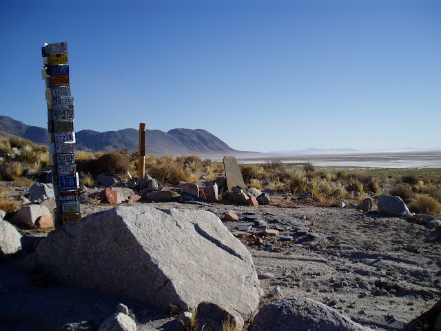
Looking for gps coords for above. Heading east soon, wanna see them.


![fjackets Real Lambskin Leather Biker Jacket — Quilted Cafe Racer Zip Up Moto Leather Jackets For Men | [1100085] Johnson Brown, XL](https://m.media-amazon.com/images/I/41I7Pm1f+vL._SL500_.jpg)


That could be it but all the rocks out there look alike :huh:Is this the turnoff? Could be a little "loose" getting up there

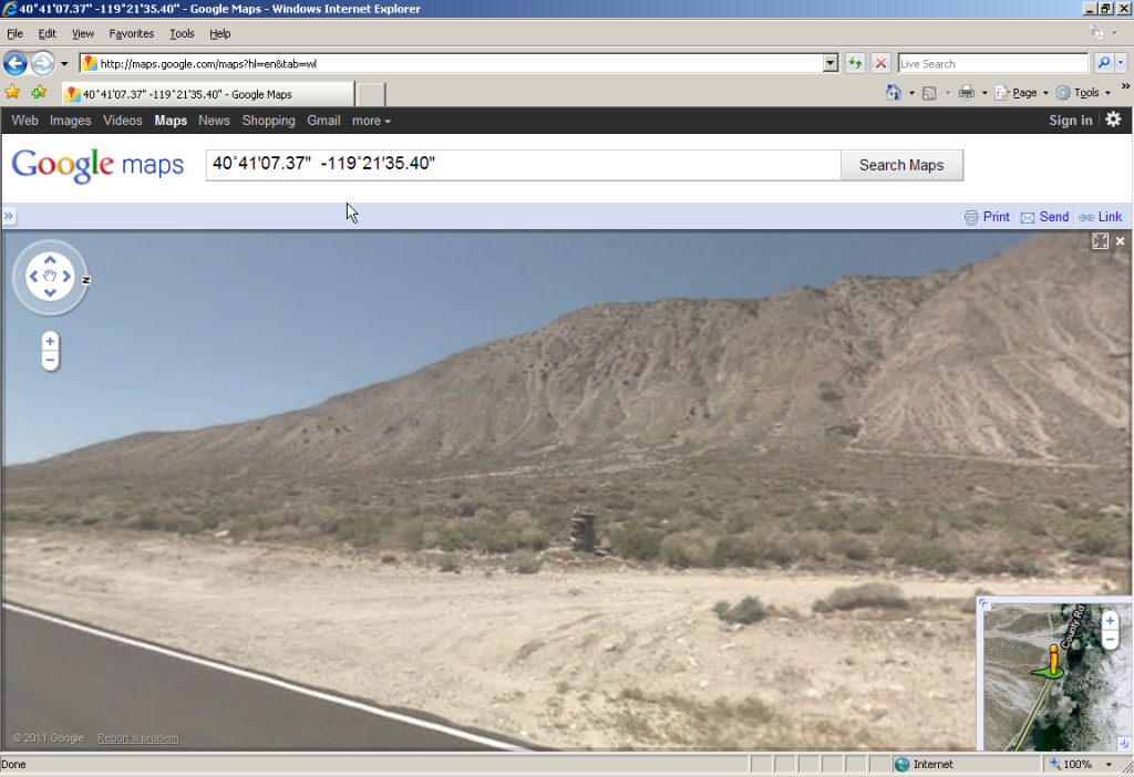
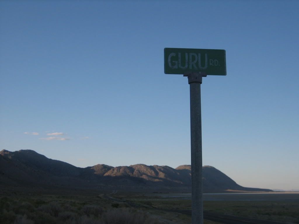
hmm. how to get google maps/earth to display this format? 40˚41'07.37"N 119˚21'35.40"WIBA Memorial is about 40˚41'07.37"N 119˚21'35.40"W I say about because I got the coords off of Google Earth, this will get you very close. It's on a small gravel road the parallels Co Rd 34 just a bit north of Gerlach. Look for the license plate tree.

You can convert it here and enter it manually into google...hmm. how to get google maps/earth to display this format? 40˚41'07.37"N 119˚21'35.40"W
Clicky not working, well for me anyway.DC - the shoe tree was cut down by vandals this last Spring. Clicky">ABC News
Don't know about google maps, or if it even takes long/lat. But Google Earth takes miuntes/seconds as well as decimals.I'm an id10t.. what format does google want?


Do you happen to have the GPS Coordinates for the new tree. All I can find is the old tree is just east of Middlegate, NV. We will be out there in August and would like to mark in the GPS so we don't miss it...I was out that way a week ago.
The shoe tree
Enter your email address to join: