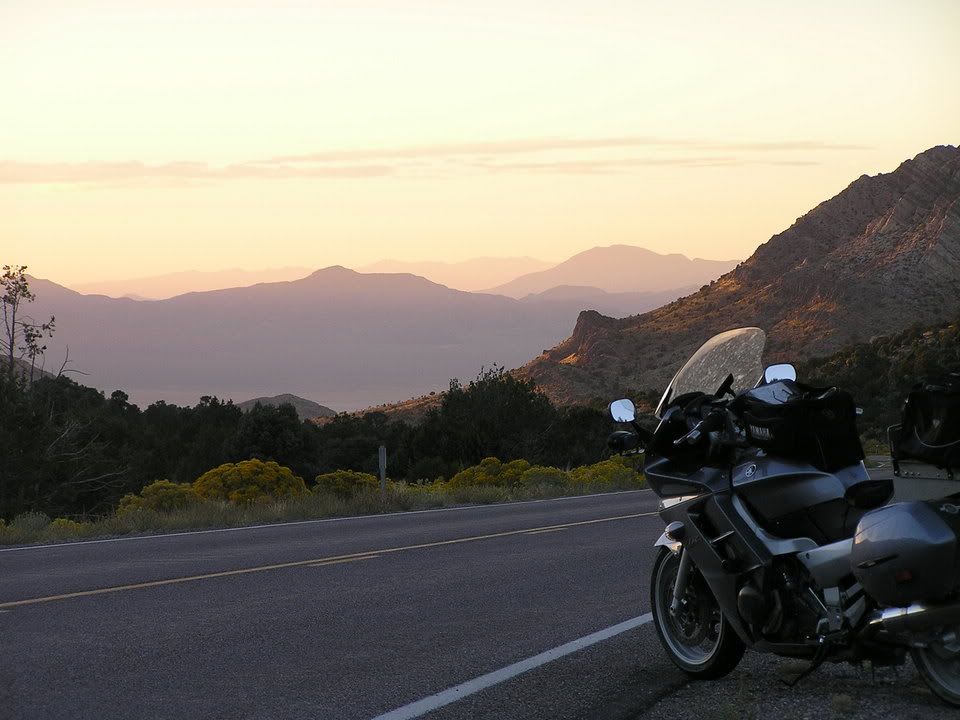
US 50 in Nevada

Yamaha FJR Motorcycle Forum

Help Support Yamaha FJR Motorcycle Forum:

This site may earn a commission from merchant affiliate links, including eBay, Amazon, and others.

tcfjr

Well-known member
Joined
Jul 21, 2005
Messages
850
Reaction score
64
Location
Apple Valley, CA
Here's a question: can I average 65mph (slightly above the required BBG average speed) over this section of US50 in Nevada and SR-21 in Utah, during daylight hours on a Sunday in late September/early October? Would a weekday be better? Thanks.

bbg-section.jpg


I dont see why not. Keep in mind that alot of the small towns in Nevada have their speeds drop to 35mph or less that will slow you down.

 
Here's a question: can I average 65mph (slightly above the required BBG average speed) over this section of US50 in Nevada and SR-21 in Utah, during daylight hours on a Sunday in late September/early October? Would a weekday be better? Thanks.
bbg-section.jpg
I recently travelled this highway between Ely and Fallon. Unless there is any snow in the area on your travel date, I can confirm that you will indeed be able to average 65mph on this highway. There are couple of slower spots with some twisty stuff and be careful of leo activity along this highway. Radar is highly recommended and slow down in advance of Fallon.

 
Between Austin and Middlegate, you can drop down onto 2 for a little ways, through "Railroad Pass". Is that a good diversion? Good road? Desolate? Wick it up? Bypass Winnebagos on 50? About 60 miles off the unbeaten path?

 
If your goal is to get Point A in Utah to Reno as quickly as possible then I can confirm the speed thing. Much of it is posted 70 mph.

If your goal is to accumulate miles I highly suggest 6 out of Ely to Warm Springs on to Tonopah and then 361 through Gabbs or 95'ish over towards Fallon or sideways to Reno.

I became VERY familiar with that stretch between Ely and Tonopah recently and am convinced that Japanese engineers secretly visited Area 51 nearby and and purposely built the FJR for this stretch of road.

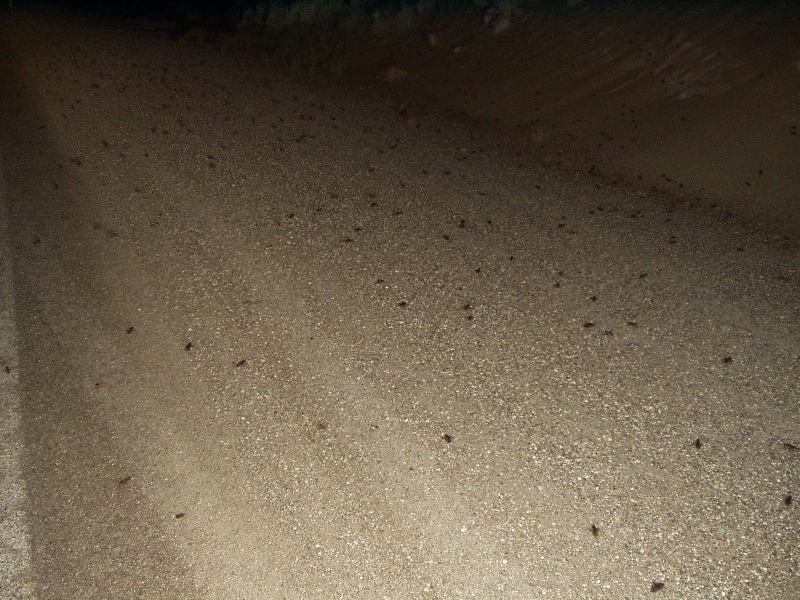
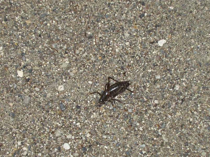
Concur on the twisties around Austin and a Mormon Cricket infestation that is smelly, scary, and surreal. I found going 25 mph was too fast and had to use ABS before coming to stop 10 feet short of a guard rail. :huh:

20060710%20085.jpg


20060710%20086.jpg


20060710%20084.jpg


Here's a question: can I average 65mph (slightly above the required BBG average speed) over this section of US50 in Nevada
Why, as it happens, I just recently traveled over this very exact same region myself - a few times - and there were indeed more than one stretch of desolate roadway, where, if all alone in the desert, one might theoretically explore the upper regions of the performance envelope of one's machine, if one felt so incline..... :whistle:

erp.jpg


Sadly enough, given the coarse nature of most road surfaces in the Nevada Outback, such displays of brutish power are very hard on one's rear tire....

smokedtire.jpg


Still an all, if you're cruising through Nevada, I consider HWY 50 a "must-do" road, just to say you've "Survived" it, as the ad slogon goes.

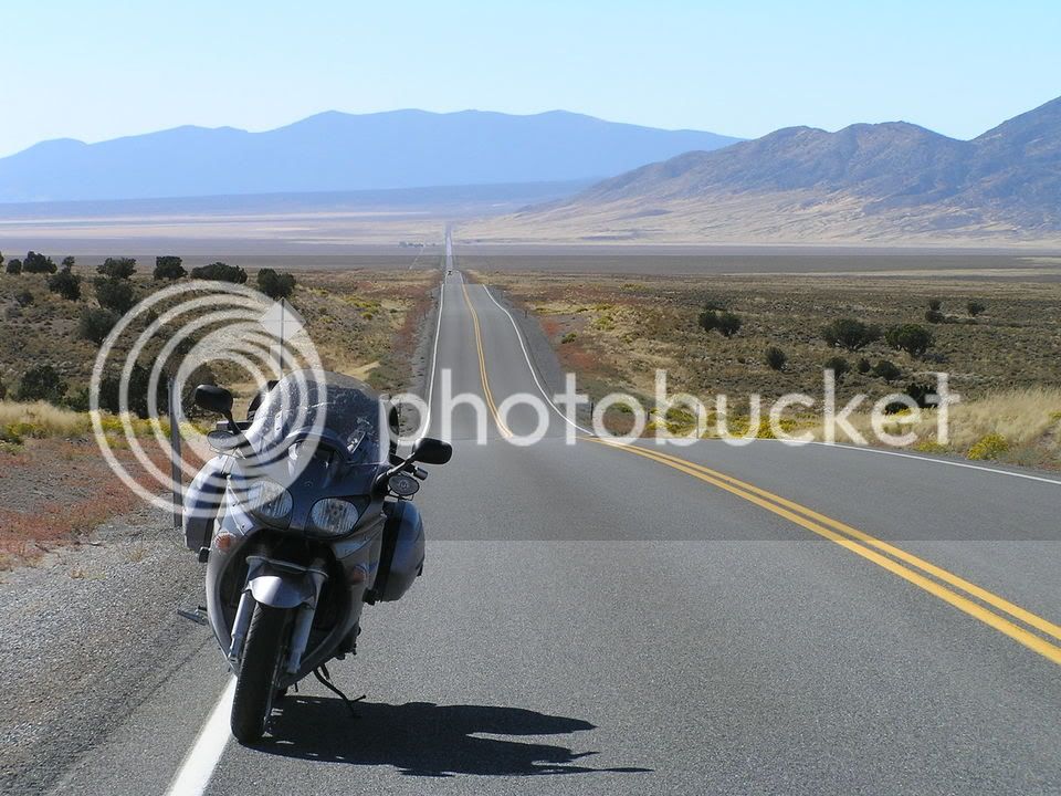
Here is a shot of HWY 50 climbing west up to Mt Austin. This was taken a pull-off at the crossroads at HWY 50 and HWY 376, just east of Mt. Austin. Just a few miles up this road, the asphalt has turned red with the squashed carcasses of those nasty-ass Morman Crickets:

MtAustin.jpg


Last edited by a moderator:
Funny. I was just there myself. I wonder if we rode by each other and didn't realize it? Where I disliked US50 I loved 376 south of Round Mountain....a few times.

I can't believe that Sigma reading. Nobody can go that fast. You must have put your bike on the centerstand for that shot ;)

 
Last edited by a moderator:
Here's the full map of my original planned route, starting in SoCal; numbers are gas stops (I do not have an external fuel cell):

bbg-rte1.jpg


Here's an alternate, based on Matt's suggestions:

bbg-rte2.jpg


Either one looks like a great ride, but I'm leaning towards the original US-50 route, possibly adding the SR-2 bypass from Austin to Middlegate per FJRocket.

Are the crickets still active in the early fall?

 
Well, I planned riding SR 2, but I dunno if it's even PAVED! I was asking the knowed bretheren who may have traveled before.

So does 2 suck or rule? Just stay on the main? Heck I dunno. I've never driven west of Dallas. Maybe I'm not worthy.... But I ain't skeert, either.

Just glad I asked about riding the ET highway at night. Free Range Critters=Baaad Nuus N D Dark.

Was wondering about some N/S roads in ID to US 50, too. Elko to Eureka. Or is 50 worth starting from the eastern boarder of NV?

I better start my own thread....

 
Last edited by a moderator:
Now that I see your ride plan in it's entirety......I'd add to that 6 recommendation. 375 from Alamo to Tonopah is possibly even better than 6. That's the Extraterrestial Highway that goes by the berg of Rachel and Area 51. Try this for some perspective. You're seeing an 18 miles stretch of perfectly straight road that you can see every car on.

Only problem is as FJRocket said. I swear they must paint those brown cows with light absorbing paint. Even my Hella HID lights wouldn't illuminate them adequately for triple digit speeds.

Surreal and it was like they designed the FJR for this road. My Sigma mighta shown 152 on this stretch....or I might have put it on the centerstand like Warchild ;)

 
Last edited by a moderator:
After adding Matt's suggestion on SR-375, here's the latest BBG Tour of Nevada route:

bbg-rte3.jpg


It looks like a fun route - some US-6, some US-50, a little US-93, plus SR-375 and SR-376. I'd need to tweak it a little - it's only 1501 miles on S&T.

The plan is to hit St. George around 9:30am, so the only night riding would be on the interstates.

 
Last edited by a moderator:
Let me tell you. 3 to 6 is sexy and fun. If you like open, uninterrupted open spaces that the posted speed limit of 70 is a joke--you're going to love it to.

Skooter's about to chime in and can tell you that the FJR is capable of WFO (the version of of the abbreviation that has 'wide' and 'open' in it) for extended periods.

Any shortage on mileage with this route can be easily accomodated for by adding another leg as you'll be making some serious time here. I can attest that Alamo to Austin can be done in 2 hours and 40 minutes ;)

 
Funny.........I too became very familiar with some of those stretches of Nevada asphalt recently.

That is a great route as you have it now. US50 is a great road, but can slow you down somewhat in the towns, and while not crowded, will have more traffic and LEO presence than some of the other roads.

375, the E.T. highway is one of my favorite roads of all time. You can easily average 130mph on that road. Just realize fuel mileage and range will go down correspondingly. Don't ask me how I know.

As for Warchild's 157, and Iggy's paltry 152, pfffft! Lame. And that's all I have got to say about that. (Insert faggoty-assed winky smily here)

On your route, the Fallon to Fernley portion will be very slow with a high LEO presence. If it were me, I would avoid that section like the plague and find a an alternate way.

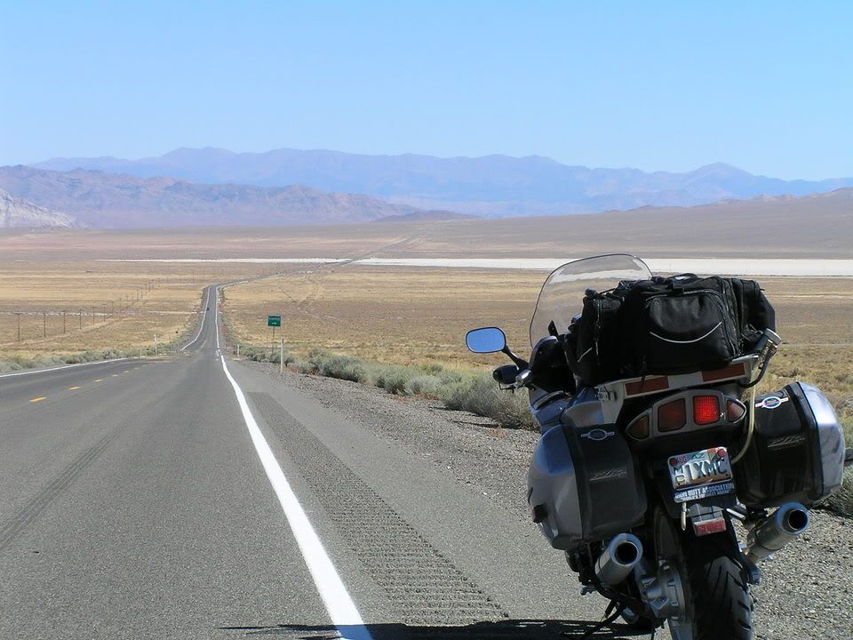
Here are some photos of my time on US50 last September when I headed from Fernley to Ely.

Gerlachfest05112.jpg


Gerlachfest05099.jpg


And on US93 west of Caliente.

2e9ece0f.jpg


Your original planned route was basically what I was planning on doing from Cedar City to Reno on my last day going to WFO, I.E. Hwy 50 all the way across... guess I'll be tweaking the GPS route to got 3 to 7 like your BBG Tour of Nevada route, only leaving from CC instead of St. George. Nice BBG route by the way... mine to KC won't be nearly as scenic I don't think...

(Just plugged the route into Mapsource... it adds 50 miles to the total, but what the heck, if it's a prettier ride...)

So going 3 to 7 on the BBG Tour of Nevada map, where would the wisemen stop for gas?

 
Last edited by a moderator:
So going 3 to 7 on the BBG Tour of Nevada map, where would the wisemen stop for gas?
The numbers on the map are planned gas stops, based on MS S&T 2005. I run a stock tank, so I get from 180 to 240 miles per tank, depending on headwinds, traffic, hills, and speed.

It's 95 miles from Cedar City to Caliente; 191 from Caliente to Tonopah; 117 from Tonopah to Austin; 172 from Austin to Reno.

For an extra 24 miles, you can skip Caliente and get gas in Alamo. It's 150 miles from Cedar City to Alamo, and 160 from Alamo to Tonopah. I'm strongly considering switching my gas stop from Caliente to Alamo, based on the lower-than-usual gas mileage expected for that stretch, and a need to add a few miles to the trip.

 
Top