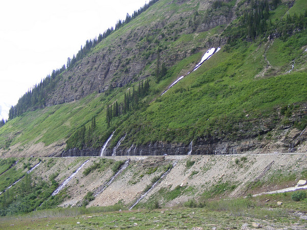
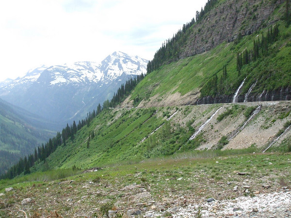
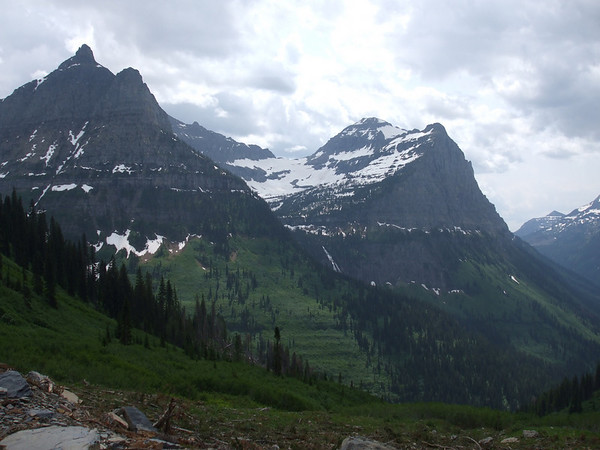
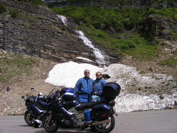
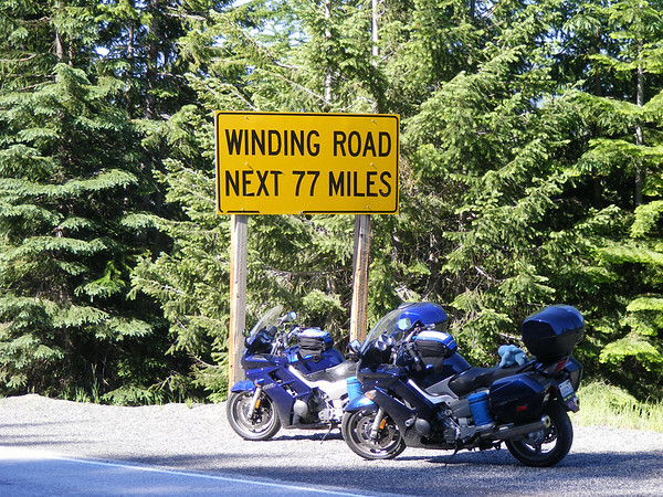
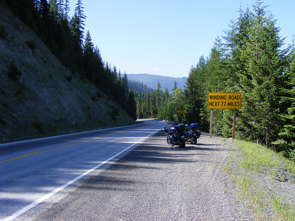
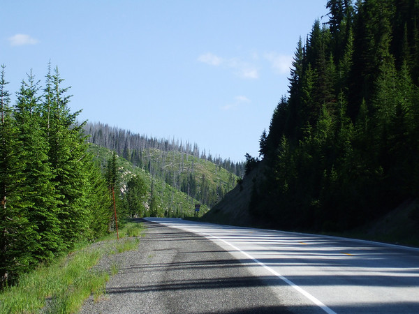
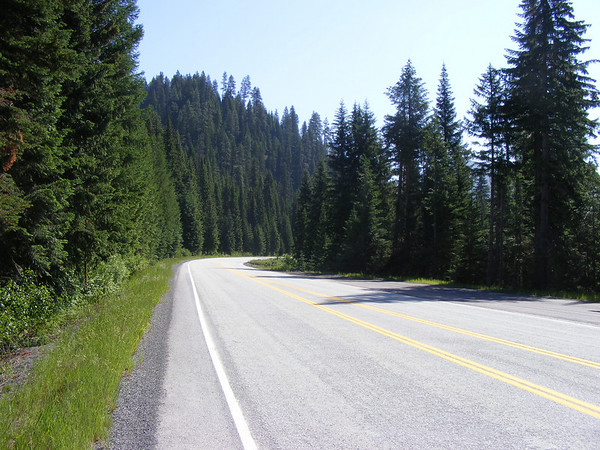
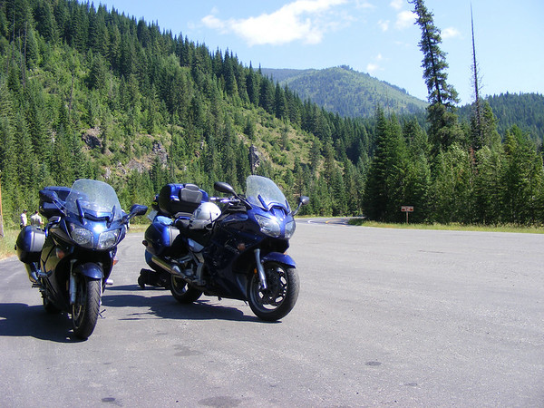
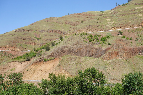
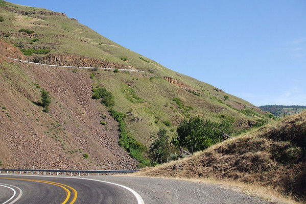
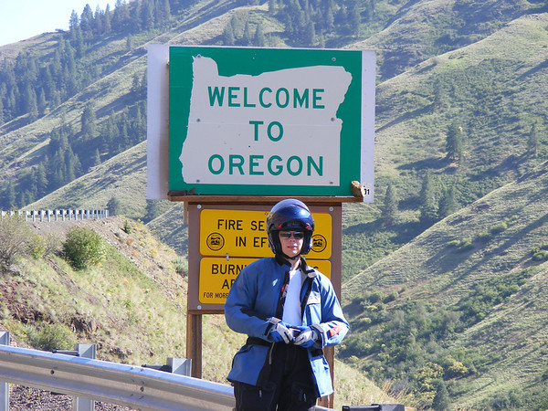
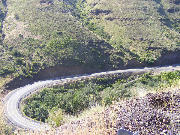
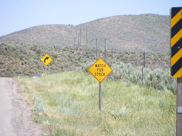
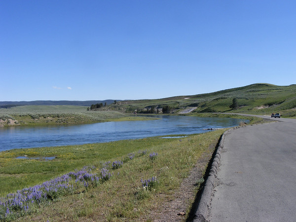
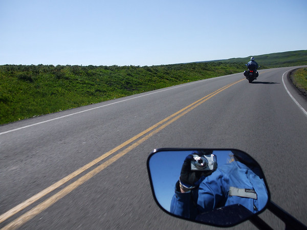
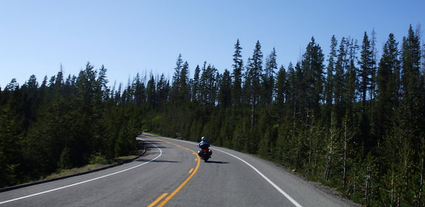
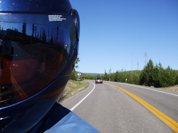
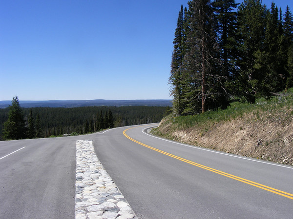
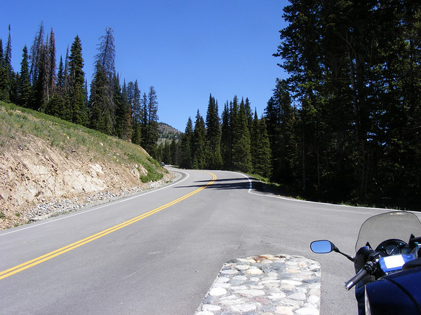
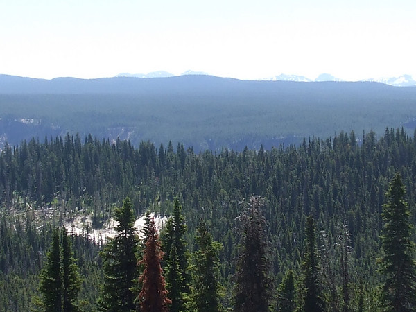
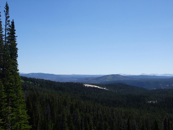
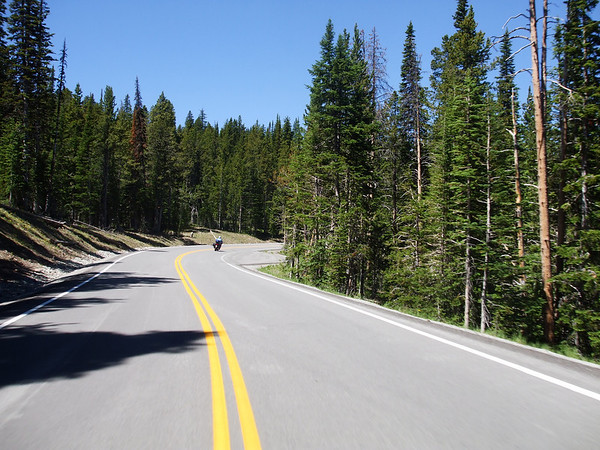
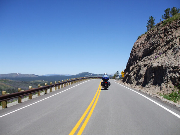
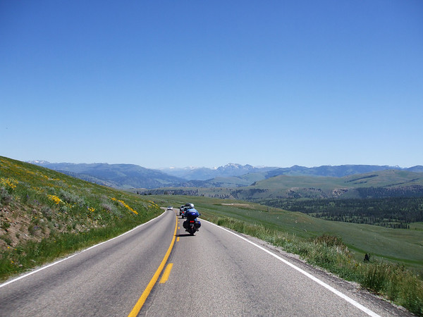
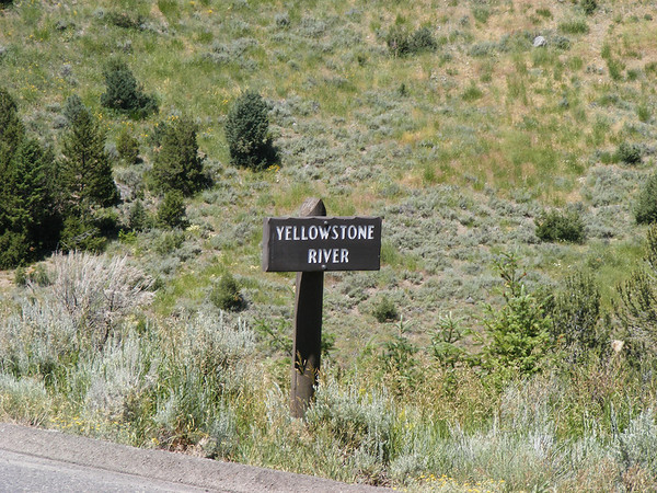
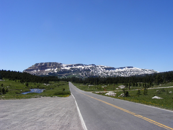
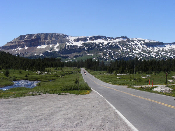
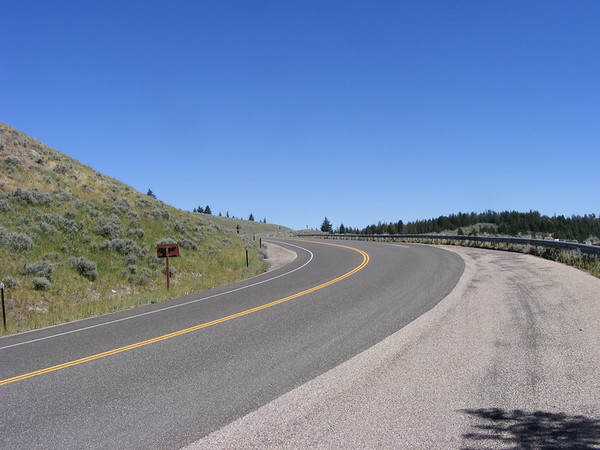
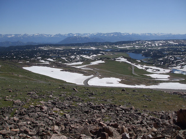
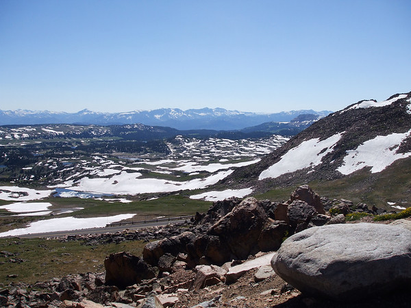
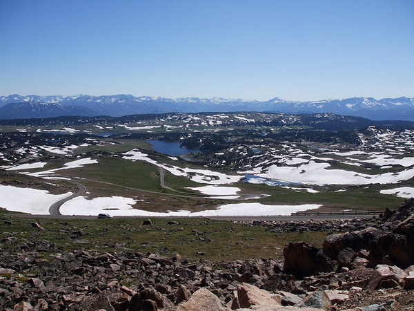
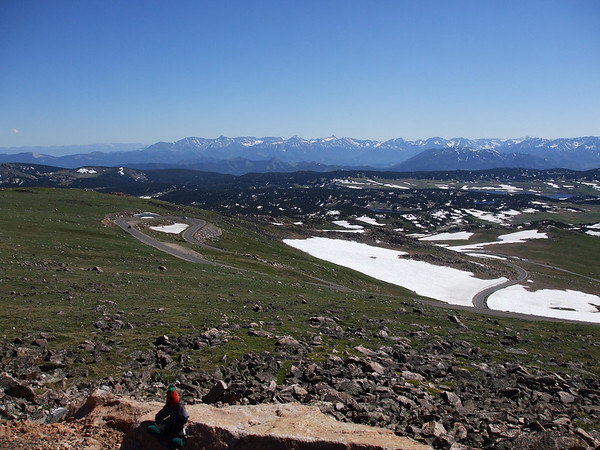
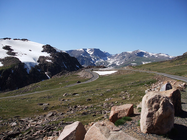
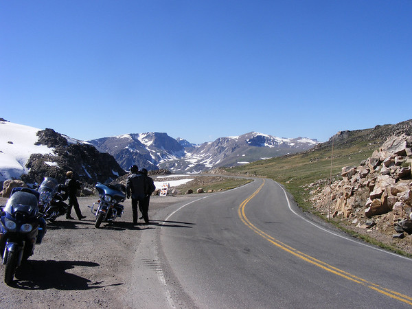
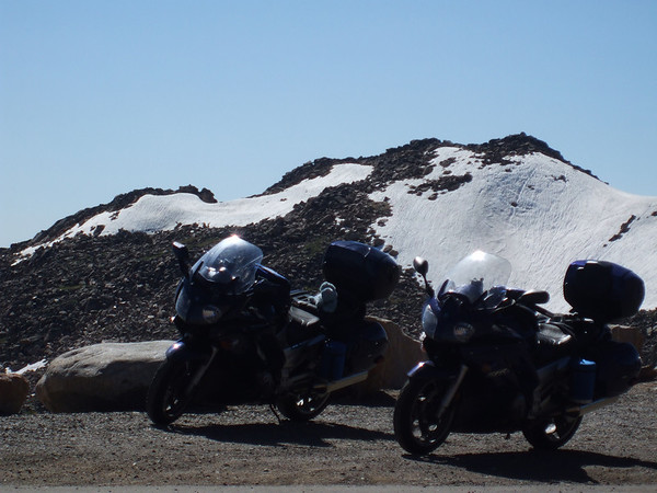
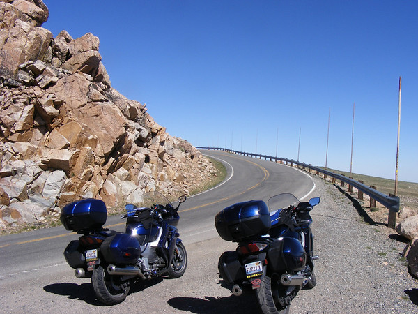
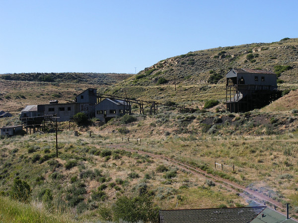
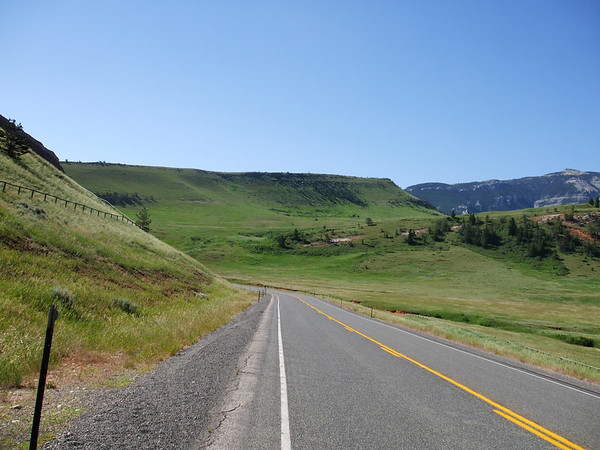
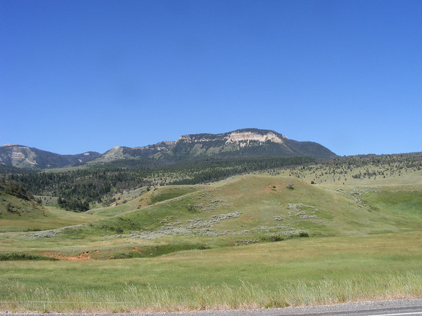
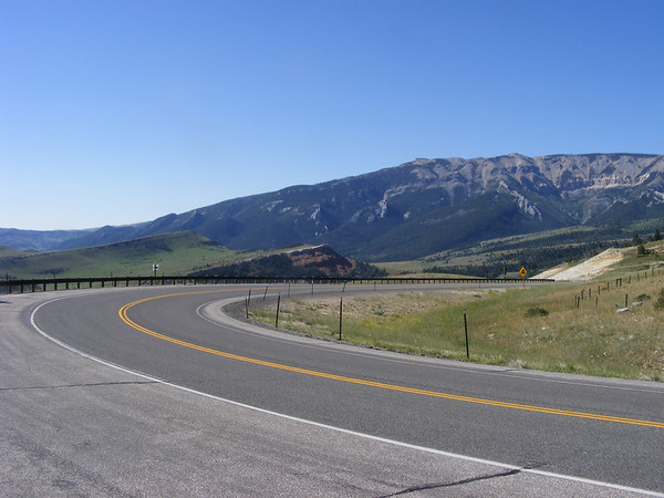
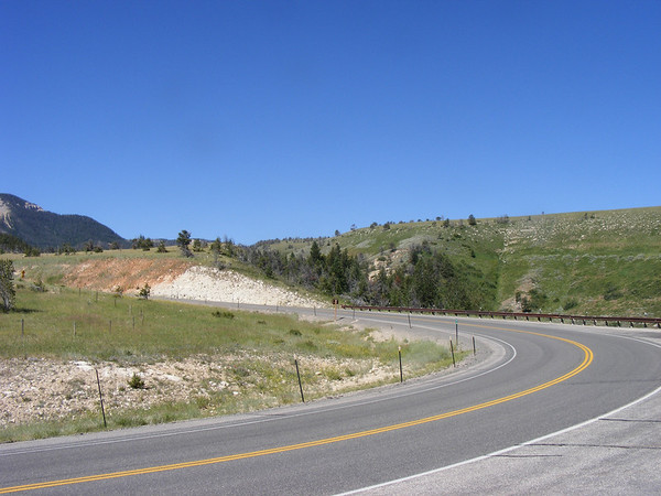
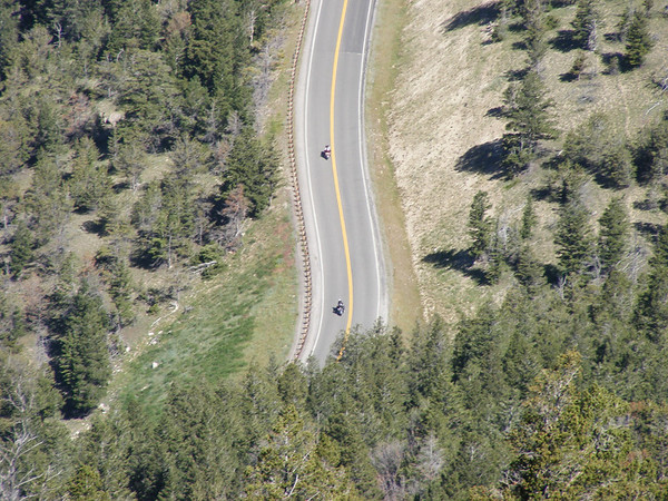
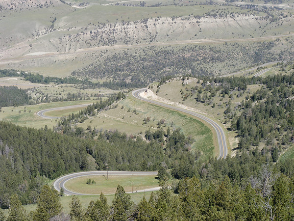
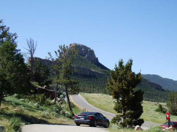
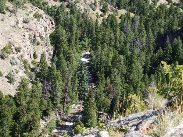
Westward Ho!!

Yamaha FJR Motorcycle Forum

Help Support Yamaha FJR Motorcycle Forum:

This site may earn a commission from merchant affiliate links, including eBay, Amazon, and others.

grnarrowe

Well-known member
Joined
Jun 14, 2005
Messages
154
Reaction score
40
Location
Round Lake, IL
As some of you may know last year we had gone west to Custer SD for vacation, on the return trip Bluebear06, Vickis, ignition had crapped out in Valentine, NE and we ended up having to backtrack 200 miles to Rapid City SD to get a truck to bring home her 06. We also stuck mine in there as well and trucked both bikes home. Since then the ignition was replaced by Yamaha and it has worked as it should since then.

SO, being the adventurous soles we are we started planning for vacation 2008. But where do we go? (Quiet Radman!) Well, we'll have to go a little further west this time and while we're at it let's go further north and south as well, so I started to plan the Westward Ho! trip back in November of 07.

We had heard of all these roads out west that are a must ride type of road, you know the Going to the Sun Hwy, Lolo Pass, Rattle Snake Ridge, Beartooh Pass, Chief Joseph and Spearfish Caynon so I got about to planning a trip that would include ALL OF THESES roads. Ambitious, yes but what the heck lets go. At first Canada was not included but when Vicki saw the route I had planned she said why not go to Canada, eh? So I penciled in Canada, eh? Mapped out the routes made all the hotel reservations then changed them after we made a change to stay an extra day in Cody, WY. Then sat back and waited, and waited for the first day of our journey. This year we would go from home in IL thru WI, MN to ND then north into Sask, west to Alberta then south into MT across ID to WA south into OR then further south to NV then east to clip Utah, north back into ID east thru WY back into MT then back into WY then SD, MN, WI and back home to IL. Just over 5500 miles in 13 days.

Let us begin.

DAY 1
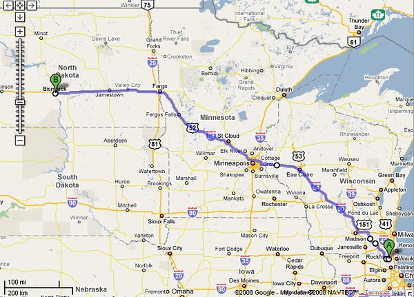
Today would be a quick 800 mile jaunt from home to Bismarck, ND.

Today's route..
336683295_4faKG-M.jpg


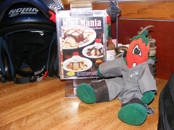
And for those of you who are familure with the Sport Touring site we had a traveling companion with us for this little journey.
337712503_6hzAA-M.jpg


Chili, the official unofficial mascot of Sport-Touring.net

We didn't take any pictures as it was all interstate riding. We had left home at 3:40 AM or OHdarkthirty. After our first gas stop and breakfast we continued north & west along I-94, and as the sun came up so did the temps. It was going to be a hot day. By the time we got around Eau Claire,WI it got windy and it stayed that way all the way to Bismarck. We had gotten rained on shortly after entering ND but that only lasted 10 minutes at most. It then got back to being hot.

We pulled into Bismarck about 8:00 PM, got some dinner, took a shower, and got some sleep as we would be leaving tomorrow at about the same OHdarkthirty hour again, about 4AM this time.

DAY 2
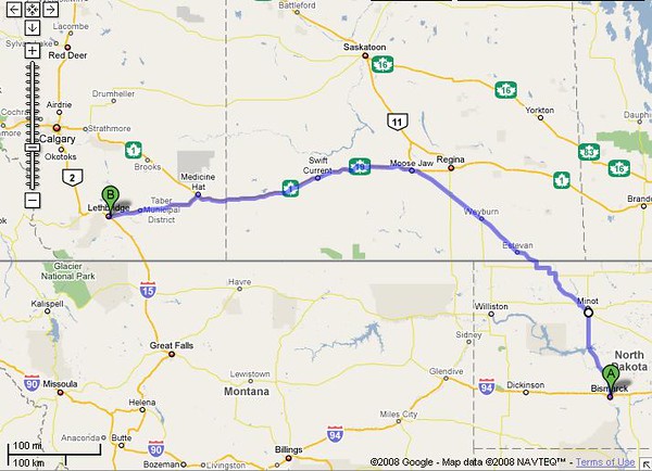
Today's route..
336833837_PUj3f-M-1.jpg


Today would take us from Bismarck, ND to Lethbridge, Alberta Canada. As stated we left at 4 AM and headed north on US-83 towards Sask, Canada. Today we would take a few more pictures.
337714913_bYRJ5-M.jpg


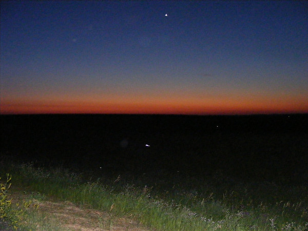
Sunrise along US-83 in North Dakota.

336340120_Gimv9-M-1.jpg


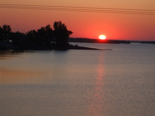
Sunrise by Audubon Lake in ND.

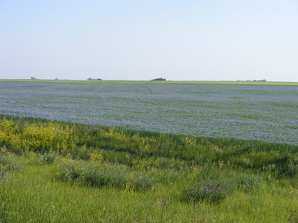
After watching the sunrise we continued to Minot ND for breakfast and fuel. As we continued north & west on US-52 we came upon this.
337716616_iM9E8-M.jpg


337716975_fKqG3-M.jpg


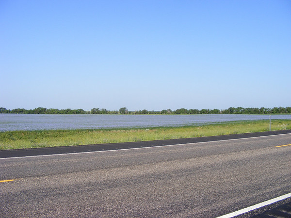
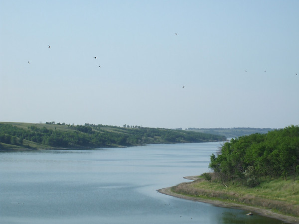
From a distance it looked like there was water on either side of the road, turned out to be a sea of blue flowers, neat. The real lake was just up the road a piece.
336342234_8Qi4V-M-1.jpg


Des Lacs lake

After this it was a hop, skip and a jump to the Canadian border. We had gotten our passports back in March so we were set to go out of country, sort of.

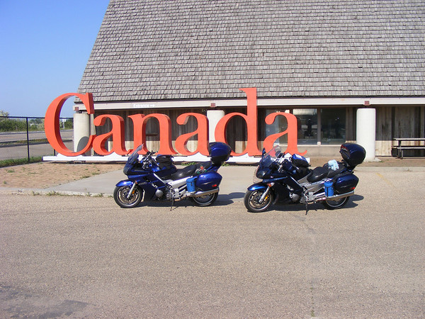
As we pulled up to the crossing the last tune finished on my Ipod, and appropriately it was a Rush tune. I went to the crossing first telling the border agent that the other bike was my wife and we were on vacation and had not stopped at the duty free store he had me pull up. After he talked to Vicki they asked us to come inside, we have different last names so they wanted to check things out. That took all of 5 minutes and we were on our way, no cavity searces for us today thank you very much.
337717340_kB2nr-M.jpg


336343836_Bhqss-M-1.jpg


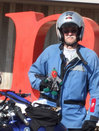
Crossing into Canada. Don't tell anyone but Chili didn't have a passport so I smuggled him in, ssshhhhhhhhh!!!!

We then headed north on PR-37 to the Trans Canadian Highway but as we entered Estevan, Sask this semi goes flying past the other way and hey is that an aiplane in the sky, THUD!!!! Nope, it was a rock which landed on the top of my helmet shatering the vent cover, see.
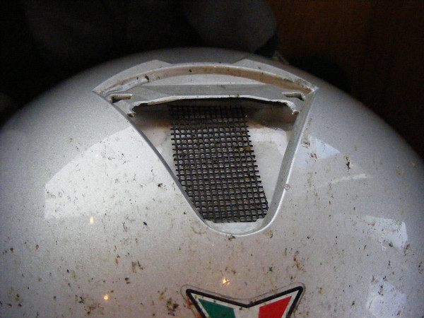
337721672_LfiAt-M.jpg


That would prove to be the only excitment of the day. We got the the TCHwy with out further incident and headed west.
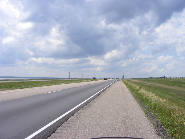
337718466_3Pfh6-M.jpg


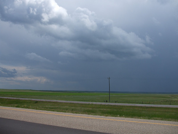
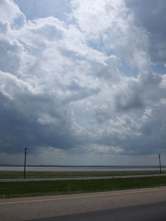
It looked as if it might rain on us..
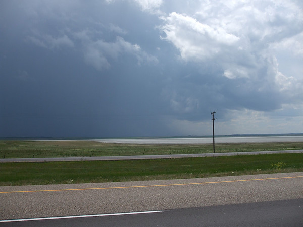
336344185_8cqSD-M-1.jpg


336344510_x7UnY-M-1.jpg


336344622_sbANM-M-1.jpg


But it never did. It turned into a beautiful afternoon but it was still windy.
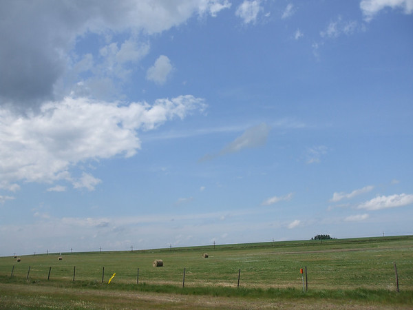
336344915_EoM9P-M-1.jpg


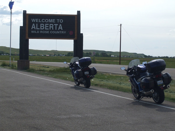
We then entered Alberta..

336345529_Nitbe-M-1.jpg


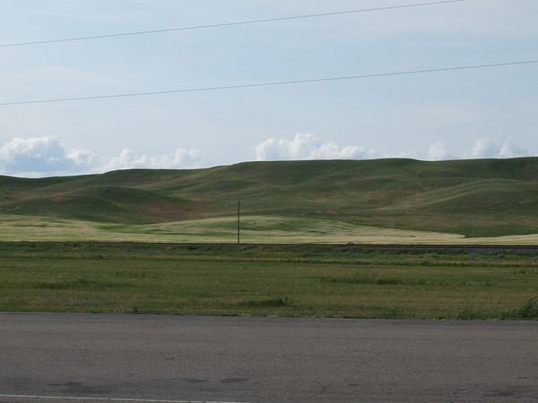
Again, beautiful contry side here too..
336345844_TazcN-M-1.jpg


336346125_VfP5T-M-1.jpg


Then it was onto Leathbridge, Alberta for the night. Our usual routine would follow, food, shower, sleep. And after another 700+ mile day we would need it.

To be continued.....

 
Last edited by a moderator:
Very nice report and piccies so far... :clapping:

...except for the hiding the puppet part. :blink: :lol:

I see you have a great report at ST.n ...clicky

Reviewing the report at STN....that is one OUTSTANDING trip report. :yahoo: Kudos there Pete. :clapping:

 
Last edited by a moderator:
Let us continue...

DAY 3
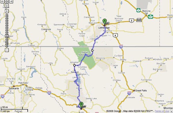
Todays route....

336836900_hQVpM-M-1.jpg


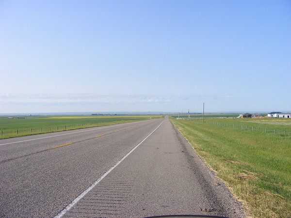
Today would take us from Lethbridge, Alberta Canada thru Glacier National Park and down to Missoula, MT. This would be a short, mielage wise, day, only about 300 miles. We left Lethbridge about 8AM and headed south towards Montana.

337717758_QqYFe-M.jpg


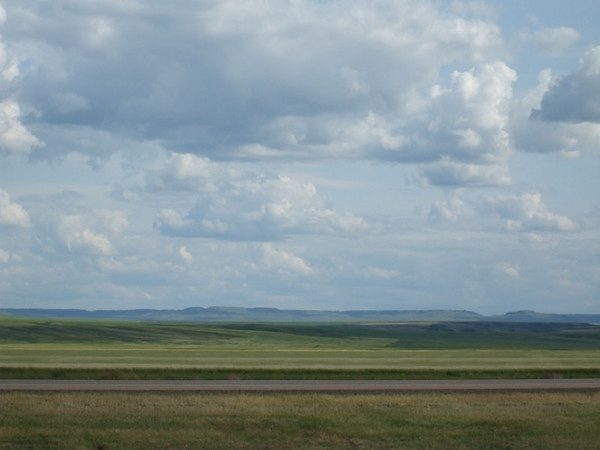
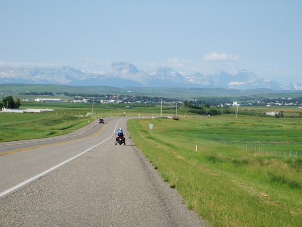
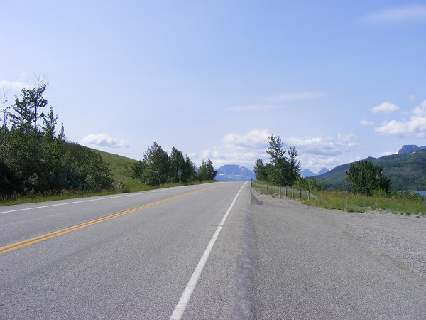
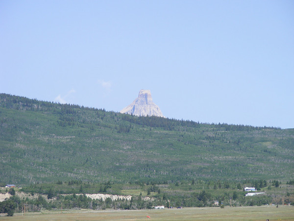
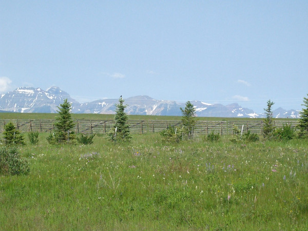
WAY off in the distance you can see the mountains.

337718110_fqZF8-M.jpg


Still a ways off.

336353316_EsUMj-M-1.jpg


A little closer

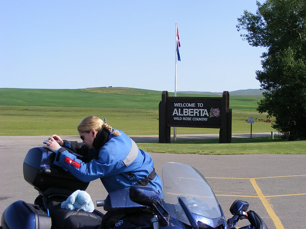
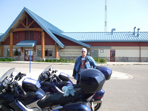
As we got to the border crossing Vicki stopped at the duty free store, I did not see this. I went around the building that is the Canadian check point and stopped before crossing back into the states. I can see Vicki over by the Duty Free shop and she's waving for me to come back and I'm waving for her to come forward. I then go back to her and by-pass the border gaurds. I would not recomend this as they tend to get wee bit upset no ANNOYED actually. One of the gaurds came running up to us and was thinking I had jumped the border. He had me go back to the check point and I talked to a different gaurd and told him that I didn't see Vicki stop and I was just going back to the Duty Free store. He understood and sent me back to the store. The lady at the DF store said that the border gaurds were colledge kids and a bit over zealous and power hungry. She said that she would be glad when they went back to school.

337720273_KBdzQ-M.jpg


At the Duty Free store.

337719879_SojXH-M.jpg


336356166_ViLhi-M-1.jpg


336356507_4TNqK-M-1.jpg


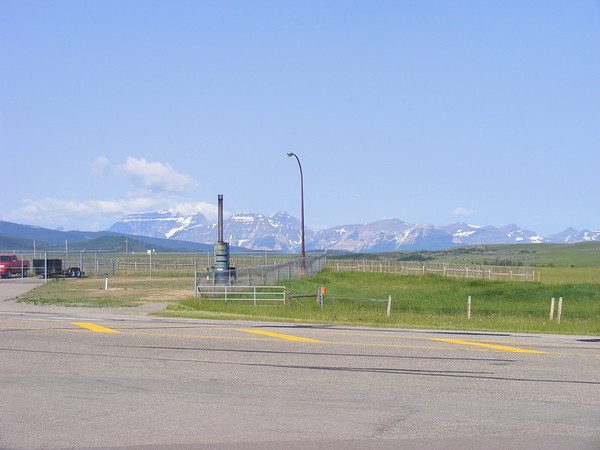
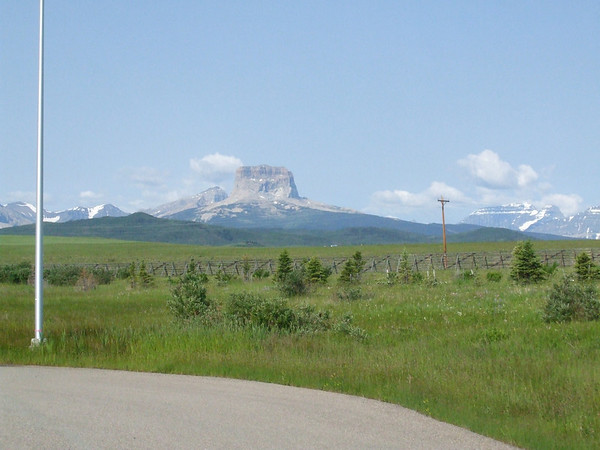
Some views from the border crossing

We left the Duty Free store and crossed back into the states. There was a wait to get back into the states, they asked us the usual questions but they never asked if we bought anything at the DF store, they also let us bypass the viehcle inspection so we stoped here for a bathroom break.

336356865_XMxdt-M-1.jpg


Bathroom break.

Then it was south to Glacier National Park.

337720483_7KTNp-M.jpg


337720695_Y4wwa-M.jpg


337720895_7HUKA-M.jpg


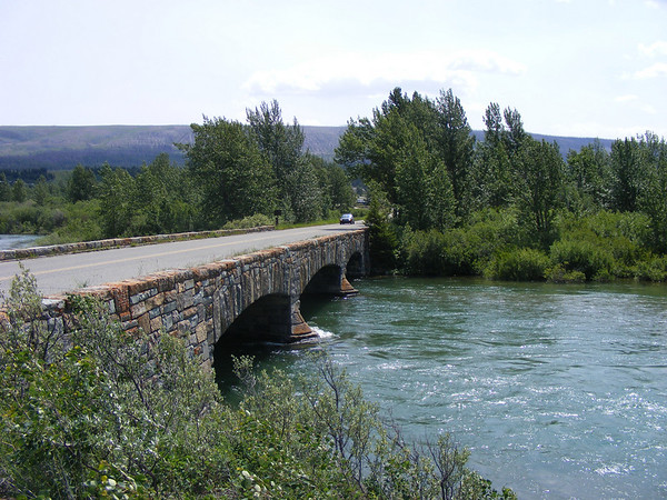
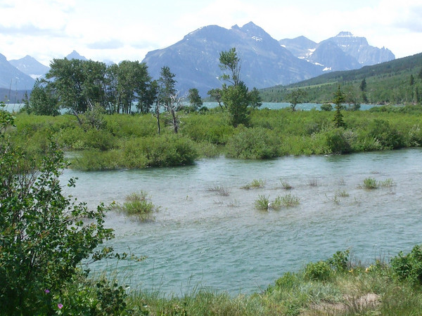
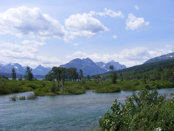
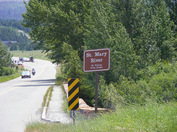
Along the St Mary river, I believe.

We then got into St Mary where I wanted to stop for a late breakfast. I saw a place where we could get something to eat so I pulled over. We had met a couple from Michigan and their 2 daughters. They were on 2 Goldwings and both had trailers. We talked with them for about 20 minutes, he said that the entrance for GNP was back the way we came from. The place we had stopped at was busy and thw couple told us there might be something a little further down US-8, so we left and we found the entrance to the park and the St Mary resort. We had breakfast here and did a little merchandising here, got gas for the bikes then headed into the park.

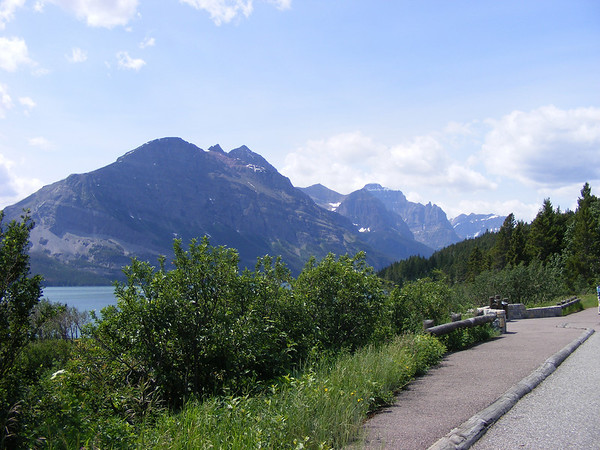
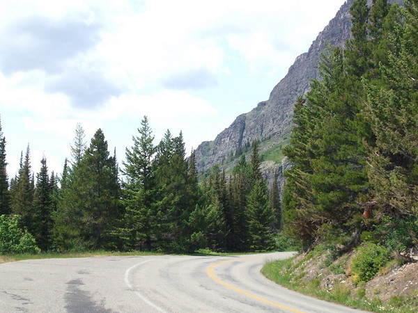
Now if you have not been to GNP, GO! The views and the smells were fantastic! As we went thru the wooded areas it smelled like a fresh cut Christmas tree. As fo rthe views, well take a look.

337722262_BHX4u-M.jpg


First view after the entrance from St Mary off of US-89.

336360103_pz7kB-M-1.jpg


337722476_2f8oS-M.jpg


337723156_radd5-M.jpg


337723563_77kHU-M.jpg


336362177_kvHzd-M-1.jpg


336362781_tupo6-M-1.jpg


336363789_2nxHW-M-1.jpg


337724124_PgVkc-M.jpg


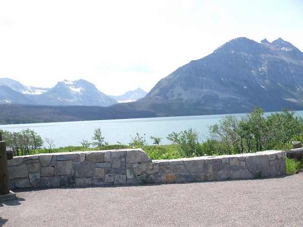
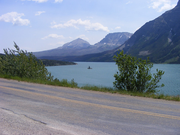
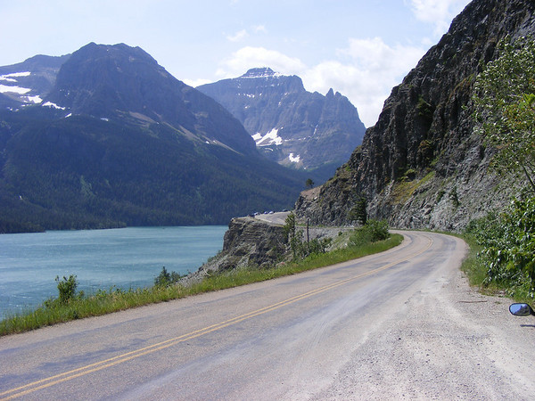
Along the Going to the Sun Highway, Lake Saint Mary.

337724354_dzicr-M.jpg


336364572_coSA7-M-1.jpg


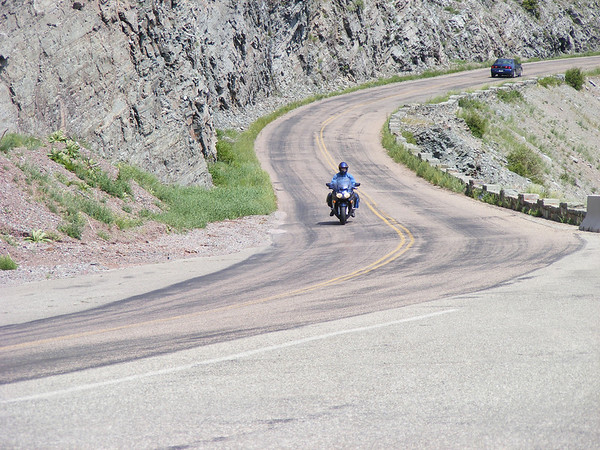
Me going along the Going to the Sun.

337724998_FSzQn-M.jpg


Vicki along the same strech of road.

336366580_STmAp-M-1.jpg


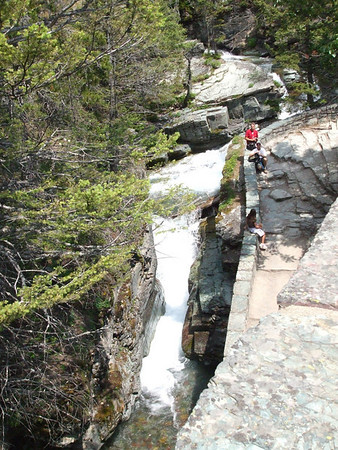
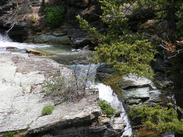
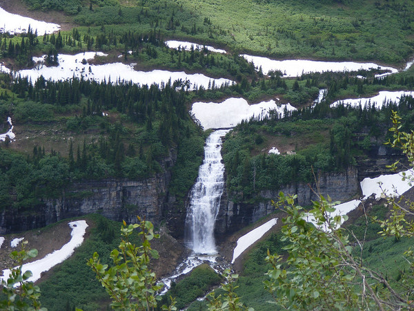
Water falls abound throughout the park.

337726881_aaoG3-M.jpg


337726881_aaoG3-M.jpg


337727513_dRBsa-M.jpg


Along a trail leading to a view for St Mary falls. The trail was about a mile to the viewing area but we didn't go very far as we did not have the right gear for hiking.

337728810_ktYcm-M.jpg


336369590_Wqa9d-M-1.jpg


We took the time to stop to smell the flowers along the trail.

 
DAY 3 Continued
We went a littler further down the road and were treated to these views. It also was quite a bit cooler up here, most welcomed after the first 2 days of heat.

337750296_jHqhr-M.jpg


336370707_dnStA-M-1.jpg


I got talking to a park ranger and she said that you really need binoculars to see up some of the mountains. She said that you could see mountain goats deer and bears up in the higher elevations.

336371021_kp7Fg-M-1.jpg


336371546_ucTbz-M-1.jpg

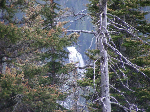
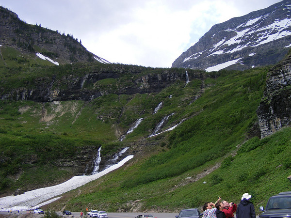
A waterfall way up there, cool.

337751049_DGXwk-M.jpg


337751250_d4PaZ-M.jpg

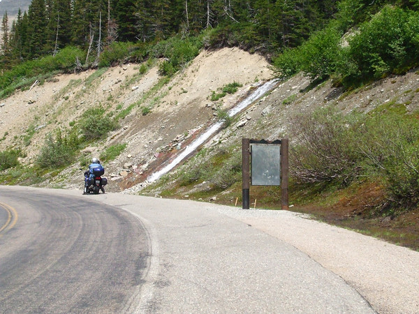
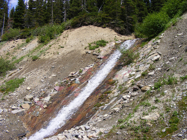
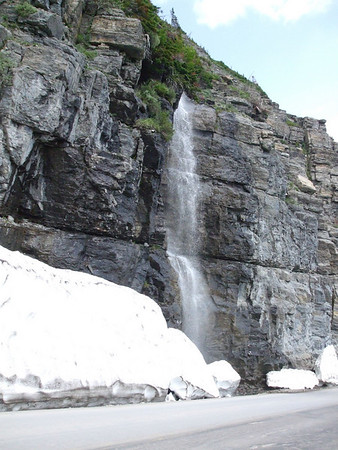
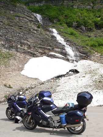
They even have a waterfall by the side of the road!!

336373479_TuyiT-M-1.jpg

Vicki takes a pic of me taking a picture of...

337751623_E7NXr-M.jpg

this here.

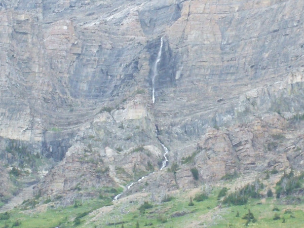
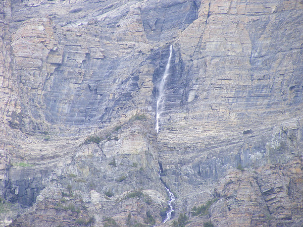
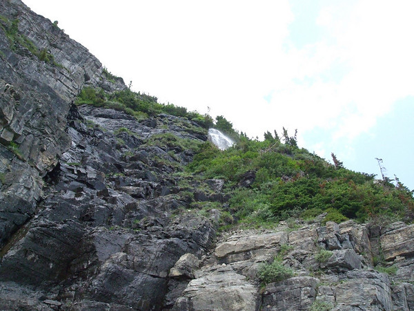
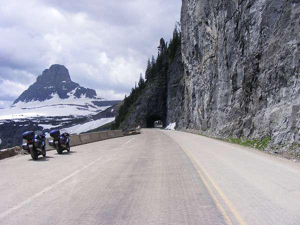
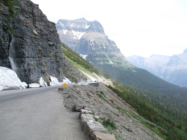
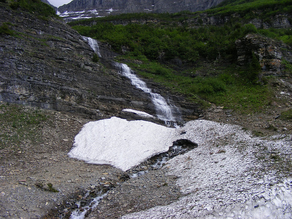
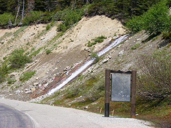
Just before we got to the Logan Pass Vistor Center part of the road had been damaged by a slide. Just a bit of gravel, just after the road reappeared we pulled over and while looking up you could see where a waterfall started.

336373873_WGs9W-M-1.jpg

It starts up there.

336373625_5g3RP-M-1.jpg

And comes down here.

336374169_uXnpE-M-1.jpg

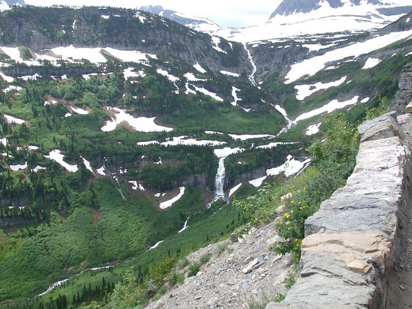
Snow & waterfalls across the valley from where we stopped.

336375307_oBfnb-M-1.jpg


337752533_93sL2-M.jpg

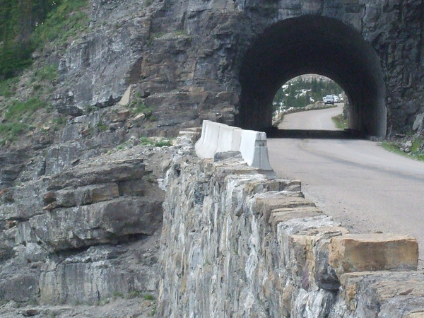
A short tunnel before Logan Pass.

337751962_NtPD7-M.jpg

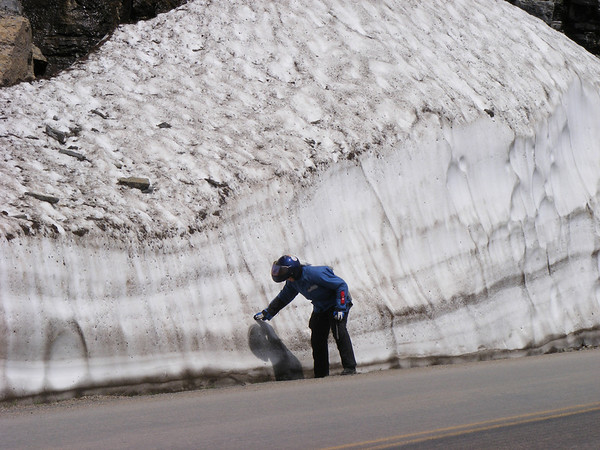
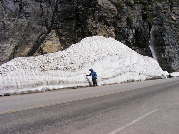
And just a little snow up here too.

337752167_PatTW-M.jpg

A little snow???? :blink:
336374975_VFXFm-M-1.jpg

Looking back at the gravel road we just came across.

337753518_WS47m-M.jpg

Waterfall across the valley.

337754382_nCpvG-M.jpg

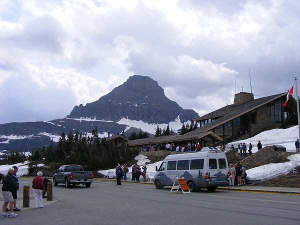
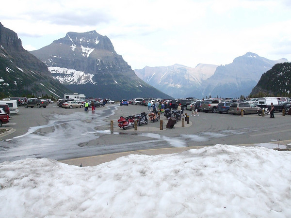
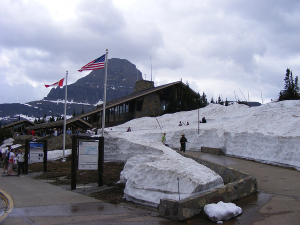
Logan Pass Visitor Center. Just a bit of snow left here. Elevation 6600 feet.

336376315_j83bv-M-1.jpg


337756231_ktcCG-M.jpg

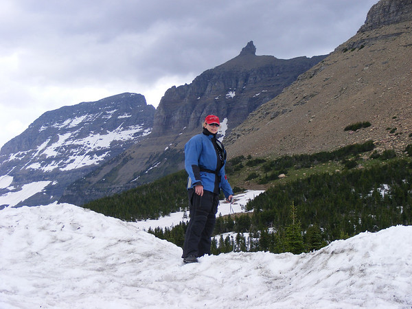
Vicki playing in the snow, IN JULY?!?!?!?!?! :dribble:

337757020_tbyQd-M.jpg

Lots of snow still here. The park ranger I talked to said that there is one trail up here that is never free of snow. It was quite comfortable up here with our Darien jackets and a sweat shirt it was just right.

After we left Logan Pass we got caught up in a traffic jam. It turns out everyone was looking up at a mountain goat that was looking down on the road. Couldn't stop to take a picture thou. But we did stop at this one stop just before we got to the Weeping Wall.

337757464_XX6WW-M.jpg


337757902_4a64E-M.jpg


336377564_yyEqh-M-2.jpg

The above pics are just before the Weeping Wall.

337758852_5CpjN-M.jpg


336378114_9Eez7-M-1.jpg

The Weeping Wall. Several water falls hit the side of the road here then they go under the road and on down the mountain. It was pretty neat going by this, the water even smelled fresh.

336378686_JN7xo-M-1.jpg

Looking across the valley from the weeping wall.

337760734_J3Eau-M.jpg

A couple going back to L.A. took this for us. Still by the Weeping Wall.

336379531_5KKwr-M-1.jpg

337761728_aZ3rF-M.jpg

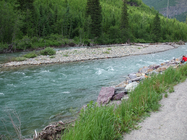
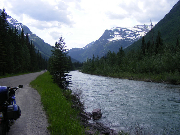
It seemed like there was a river running alongside each road out here.

At about this point we exited the park. It was about 4:30 in the afternoon, we entered the park about noon time and we still had to get to Missoula. We exited the park and picked up US-2 to US-93 south to Missoula. As we headed south the temp started to rise again, we stopped for some ice & water and to get rid of our sweat shirts. As we got to Kalispell traffic backed up, plus there was an accident going north so that didn't help. This also had the added bennifit of raising the temp on both bikes. Mine was running at the halfway mark, it would go to 4 bars then the fan would kick in and bring the temp back down. We got out of Kalispell and started to run at speeds that brought the temps back down to normal levels.

We got into Missoula about 7:30 got our gear of f of the bikes and our usuall routine followed, food, shower sleep.

Tomorrow would be a long HOT day.

To be continued.....


Wow! Clicked on the link above for the full trip report you posted in Adv. Rider (think that's where it was). Hell of a report. Enjoyed it extra cuz it reminded me of my last two trips--you seem to have done both of them and lots more. This year it was the Oregon, Idaho, and Glacier part--and we were there at the same time, looks like. I was there the week before NAFO and never once saw a single other FJR! Sorry I missed you there. Thanks for the excellent pics.

 
We did see a few other FJRs along the way. We meet one guy from Florida at Yellowstone and we meet Drewvanracer at Custer State Park. We did see quite a few BMW's on their way to the BMW ralley in WY as well.

Let us continue, shall we?

DAY 4
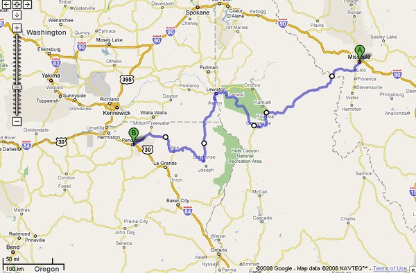
Today's route..

336839203_NRJhF-M-1.jpg


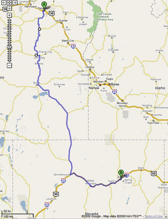
This day would take us from Missoula MT to Pendleton, OR. About 437 miles, we would be going across the Lolo Pass then down the Rattle Snake Ridge. When I first started planning this I had not heard of the Rattle Snake until Vicki had mentioned it. I did a google search on it and came up with ride directions from WFO 3 of all places. SO I made some changes to our route to include WA-129/OR-3. Glad I did!

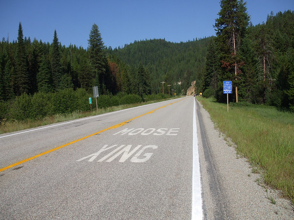
We had gotten up about 5:30 AM, packed up our things and loaded the bikes. We then had breakfast at the hotel then left about 8 AM. A stop for gas, water & ice and we were on our way west on US-12. Now we live 3 miles from US-12 and it is NOTHING like whats in MT & ID. Take this for instance..

336485560_Tgkwg-M-1.jpg


We don't have this painted on the road around here.

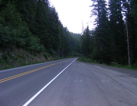
337729532_CgG5p-M-1.jpg


US-12 around here is not at all like this!

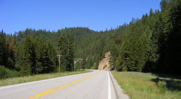
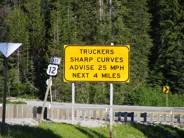
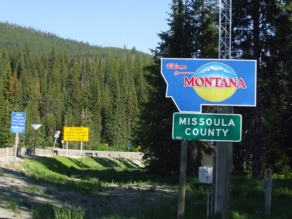
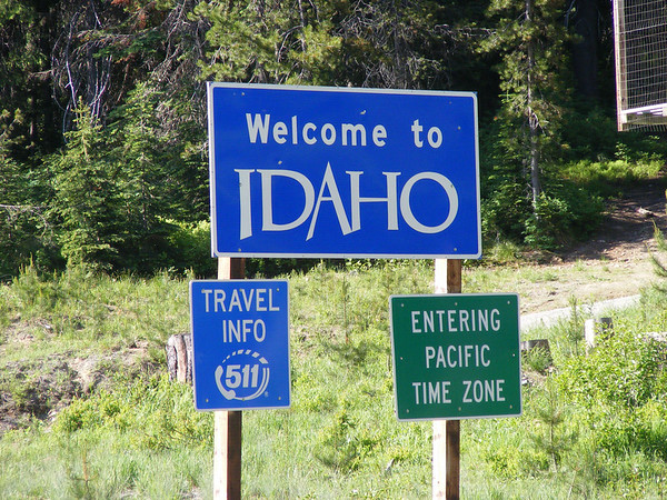
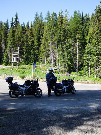
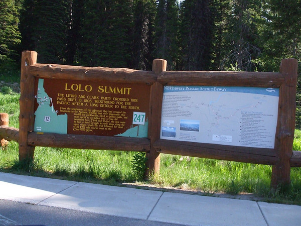
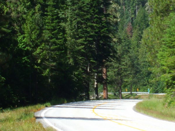
After we got out of Missoula/Lolo US-12 went to a two lane road. It was well maintianed and curvey, not at all like the pot hole filled pavement that passes for a US highway here. As we got closer to the ID border I noticed an 18 wheeler behind us, AND GAINING!! As we got to the MT/ID border I pulled over into the Lolo Pass visitor center for some picture taking.

337730523_vicpM-M.jpg


The trucker may not have seen this sign as it is a SMALL one.

336486627_BWhh7-M-1.jpg


Montana that way.

337730726_fERya-M.jpg


Idaho this way.

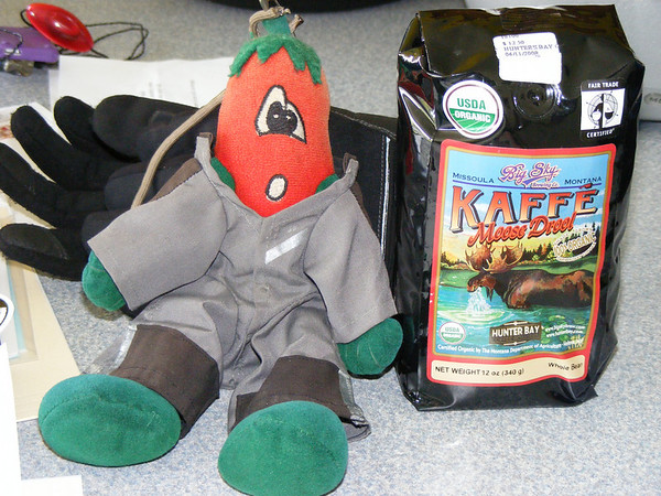
We then went into the VC and picked up a few things. Last year I had found some Moose Drool Ale made by the Big Sky brewing Co. good stuff! I found something else made by them, Coffee! Yup, Kaffe Moose Drool.

337876972_V5rZc-M.jpg


We'll be having this at a pizza meet later this year here at the house.

I also picked up a t-shirt and Vicki also got a few items here as well. We were doing our part to help stimulate the economy.

336487555_rHcaG-M-1.jpg


336486182_5MfqE-M-1.jpg


336486478_EYayH-M-1.jpg


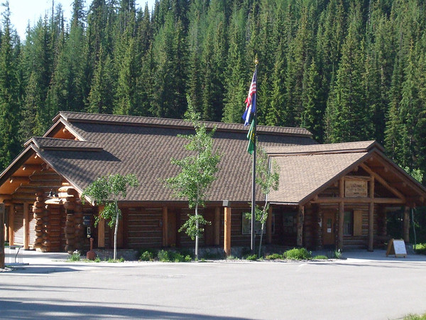
Lolo Pass VC just over the border in Idaho.

It was then time to move on and we continued west to this famous landmark.

337731778_qN7ai-M.jpg


I had seen a picture of this over on STN last year and asked where was this? Found out it was in Idaho, so it's been a thought of mine to ride this road and we did!

337731992_LSMKH-M.jpg


This was just a few miles from the VC and the road just got better. Nice long sweepers and the speed limit I belive was 55 MPH. We did go just a little faster a few times and we eventually caught up to the semi that was gaining on us when we first got into ID. He moved over for us and we went on by, when we stopped a second time for photos he passed us again then he must have turned off as I don't remember seeing him after that.

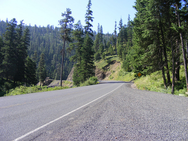
Some more US-12 photos..

336488907_o9CCT-M-1.jpg


337732589_dQ3ng-M.jpg


337732989_gtapN-M.jpg


337733660_7goUx-M.jpg


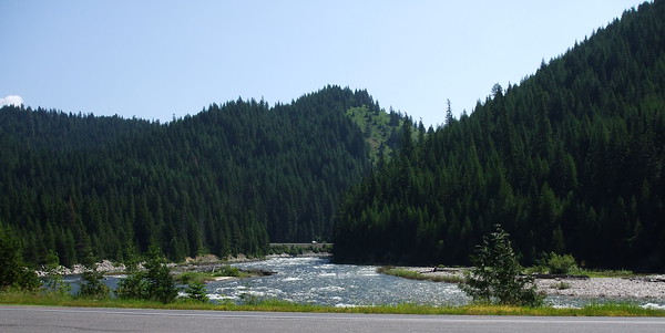
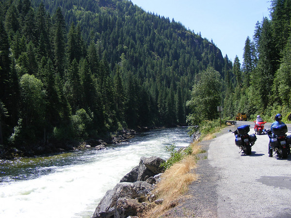
Off on the right there is a river that runs along US-12. It seemed like there was a river along every road we were on. And the rivers out here moved along at a brisk pace, not at all like here. When we would stop it was very quiet and if there were no tress to block the view all you would here is the sound of rushing water, beautiful!

337734048_YEvSR-M.jpg


337734436_UyMmC-M.jpg


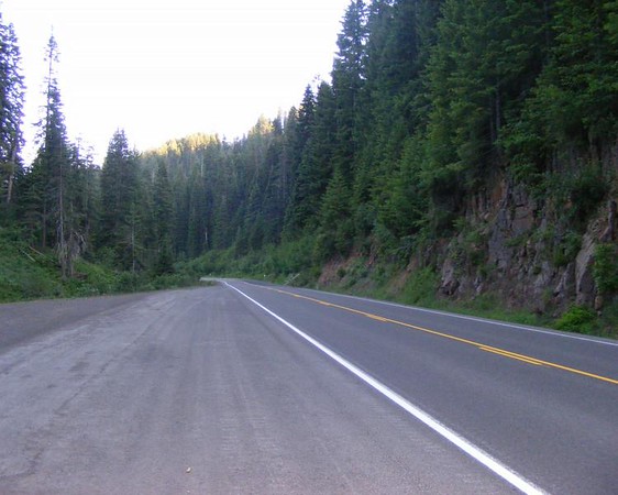
Low angle along US-12 in ID.

336492140_Wx5kk-M-1.jpg


Why we're out here. Nice twisty roads. :yahoo:

337735899_SGn3D-M.jpg


336493015_Z5LYL-M-2.jpg


337736802_L3gc5-M.jpg


Like I said, US-12 here is nothing like this!

After riding for most of the morning we got into Kooskia, ID where we stopped for lunch, gas, water & ice. We have Skyways hydration system on our bikes so we did not have to stop for water, just to get rid of it.

We stopped here for lunch..

336497288_32KYt-M-1.jpg


It was a nice mom & pop place, service was fast and the food was good. I had seen a ride report when I googled Lolo Pass. So I made this one of our stopping points.

336496909_AkXyw-M-1.jpg


336497104_HJR5o-M-1.jpg


Kooskia, Idaho.

After gassing up the bikes, getting ice & water for us we continued on. As we left the mountains of Idaho and got into Washington state the temps rose into the mid 90's. It was going to be a hot ride to Pendleton, we were glad to have the hydration system on our bikes.

Before crossing into WA we crossed over the river and now it was on our right side.

336497849_pSW5w-M-1.jpg


We stopped here so I could remove my jeans. I was wearing under armor so don't read too much into this statement. This would end up being our riding attire for a good portion of this trip, under armor, t-shirt, riding pants, AD1 for me Joe Rocket for Vicki, Darien jackets and helmet, plus a little Gold Bond for me in the morning and we were set.

 
Day 4 Continued...
After crossing into Clarkston WA we headed south on WA-129. US-129 has NOTHING on this road.

336498066_7husL-M-1.jpg

After stopping in Asutin,WA for gas, water, ice & a pit stop we let the bikes cool off a bit as we werre running at half way up the temp gauge. After leaving here we got into some switch backs as we climbed up the side of another mountain. As we went up and around one of the turns it was filled with tar snakes. I could feel the bike start to slide towards the center line as I was half way through the turn. There were no cars coming the other way which was good, never did cross the line but it was a little unnerving. Same thing happened to Vicki as well.

We did not stop at this point as there was a truck with a horse trailer in front of us, he pulled over and let us through which was nice of him. I was going to stop but I did not want to have to pass him a second time so we did not get any photos of the switch backs, oh well. There would be some more up ahead as we crossed into OR.

After climbing out onto WA-129 we continued south the terrian was kind of flat until we got closer to OR.
337737145_eND4G-M.jpg


337737511_NzL2A-M.jpg

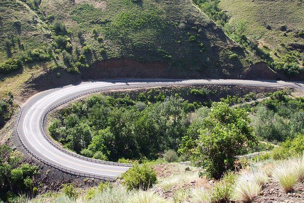
The road went from straight & gentel turns to hilly and sharper turns. FUN!!

337738237_bUK8c-M.jpg

Beautiful views.

337738436_ebdzc-M.jpg


337738627_wC8Uy-M-1.jpg

Beautiful curves.

336500548_ZSQMd-M-1.jpg


336500739_VqoEo-M-1.jpg

Then as we got to the WA/OR border we had to climb again.

336500921_pm7D3-M-1.jpg


336501297_sdKKk-M-1.jpg


337739293_azsQQ-M.jpg

You eventually end up here.

337739492_mUkyo-M.jpg


336503647_NjxE9-M-1.jpg

Looking down at where we had just been.

After crossing into OR we continued south to Enterprise where we stopped for a bit.

336503931_L4pCG-M-1.jpg

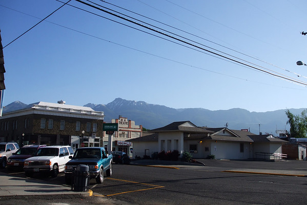
Enterprise OR.

We then headed weat on OR-84 to Elgin, OR where we picked up OR-204 and thru the Umatilla wilderness area. It was now late afternoon and the sun was setting and at times it was quite difficult to see.

336504630_rNpTm-M-1.jpg


As we got into the wilderness area we had to stop and put on a sweat shirt as it cooled off considerably.

337740667_qRo4N-M-1.jpg


337740837_2MsSW-M-1.jpg

Along OR-204 where we pulled over to get warm gear.

337741007_sxBAd-M.jpg

Also along 204, I guess trees grow anywhere they can out here.

After getting our sweat shirts on we continued west on OR-204, nice road & area to ride thru, until we got to OR-11 where we turned south to Pendleton. We arrived at our hotel about 9PM. We got checked in then walked to the nearby resturant then back to the hotel for a shower and some sleep as tomorrow would be a very long and hot day.


To be continued.......
 
I grew up in northern Illinois and moved west to California and 5 years in Colorado after graduating from U of Illinois. I can see by the wonder in your report the same thing I felt when I moved west. I now tell everyone, including my family still in northern Illinois, that I will never live east of I-25. Enjoying your ride reports. :clapping:

 
Yorkmister,

I was in AWE of the mountains, the views and the roads. We have been to the Smokey Mtns, and in the Ozarks, but the Rockies were by far the most increidable, loved it and can't wait to go back. Maybe Colorado next year???

Anyway, back to the festivities!!

DAY 5
Today's route

336841513_sNq6R-M-1.jpg


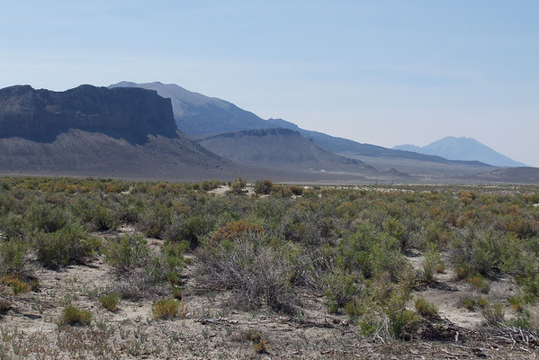
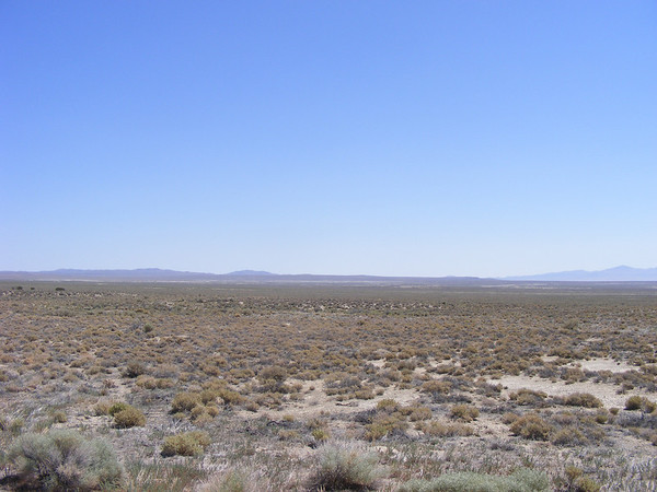
We would be going from Pendleton,OR to Elko, NV. A rather long day, about 540 miles plus we would be going through the high dessert of OR and NV. Now when I think of OR I think of a green state, you know lots of trees and cool temps. But NO, not in southern OR, dessert!

We left the hotel around 8 AM, got ice & water for us and fuel for the bikes we then headed west on I-84 for a few miles to pick up US-395 south.

337744993_JjA4A-M.jpg


336507472_cdUMu-M-1.jpg


Along 395, great road not real hot, yet.

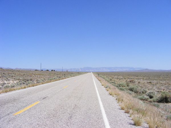
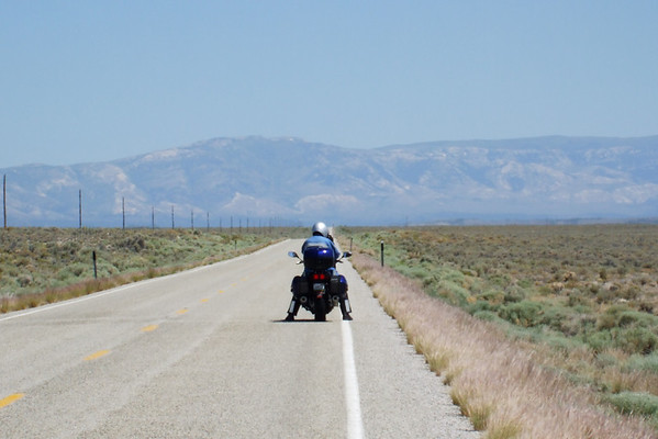
There were only a few others travling along this route, while we were stopped for the pics above several cars and one bike passed by. They would be the only ones we saw until later on down the road. At some point I noticed this white Caddy coming up behind us. I believe the speed limit thru here was 55, I was doing about 60 not pushing it cause I did not know the road. So I was looking back at him and watching the road trying to find a spot to pull over to let him by, this caused me to miss a sign for the 45th parallel, the half way point between the equator and the artic, DAMM!! Well the Caddy finally did pass us and he got to moving around 70ish? Yea, he was a local, see ya. Anyway we continued on and stopped at a rest are that was just off the road and in a stand of trees.

337745612_Jhc36-M.jpg


336507831_ViKDj-M-1.jpg


336508010_8knXx-M-1.jpg


337745956_d8FXh-M.jpg


Rest stop along US-395 somewhere in OR.

We then got into John Day, OR where we fueled up and replenished our ice & water as it was getting very hot again.

336508366_2fRGR-M-1.jpg


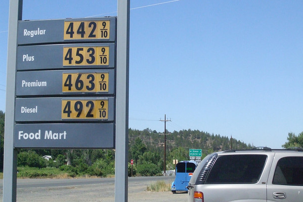
Gas was a little high in John Day. We also found out that OR does not have self serve but they let motorcyclist pump their own.

Continuing on south US-395 the landscape changed to this...

336508539_sZF4g-M-1.jpg


336509092_qYZ5U-M-1.jpg


From this point on both bikes were running half way up the temp gauge. We continued south to Burns OR took a bathroom break and then headed SE on OR-78. There was nothing down this road just more dessert as 78 turned south we passed thru Crane OR and saw a diner/gas pump at the end of the town. After we passed it we saw a sign saying "Last gas for 120 miles" so looking at the trip meeter and seeing we just did 102 miles we turned around and gassed up the bikes and got some lunch. We also got more ice & water as it was getting hotter, if that was possible.

After replenisihing ourselves and the bikes , mine had actually cooled down to 2 bars on the temp gauge, we continued south east on OR-78 to US-95 and into Nevada.

336509681_zKhfj-M-1.jpg


McDermitt, NV on the border .

We stopped here for gas and it was 119.7 miles from where we last stopped, they weren't kidding. The attendant here was a bit snippy, must have been the heat I guess. But after a bathroom break, ice & water we went next door for an ice cream cone, they were a LOT friendlier.

336510082_vWysL-M-1.jpg


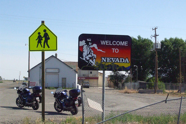
The OR/NV border

337746874_ZebMY-M-1.jpg


Looking back into OR from the NV border.

After leaving our gas/ice cream stop we continued south on US-95 into NV and had to stop a few miles down the road as they were chip sealing it, great. We only stopped for a few minutes and we got going again but we were stuck behind quite a number of cars and trucks. After we cleared the chip sealing crews the cars in front of us started leap frogging the trucks, we joined in on the fun as well. At one point we got behind a suburban and he waved us by, which was cool, we waved a thanks to him as we passed by. After a while he ended up passing us and we were doing 70-75MPH at the time.

About 6 PM we pulled into Winnemucca NV. We stopped for gas, ICE, water and a break. When I opened my gas cap it opened with a WOOOSH!! When I looked into it I swear the gas was starting to boil! :blink: When I topped up it did cool down a bit but we took a 15 minute break to let both bike cool down.

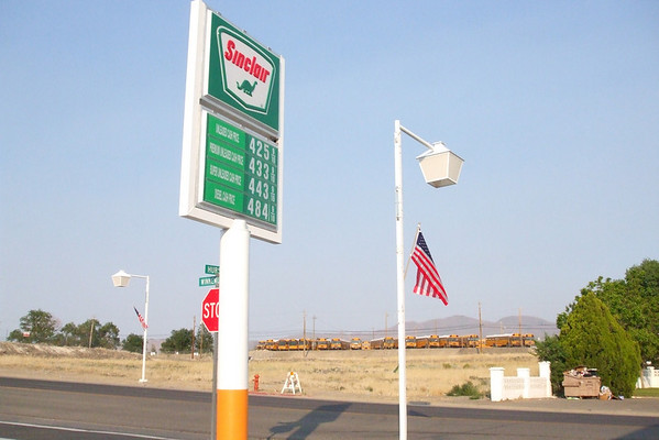
336510720_o8ZZb-M-1.jpg


Gas was a little cheaped that in McDermitt

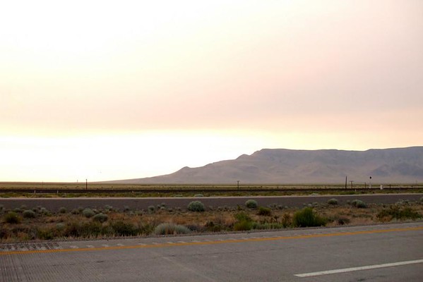
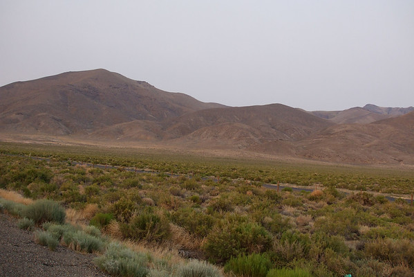
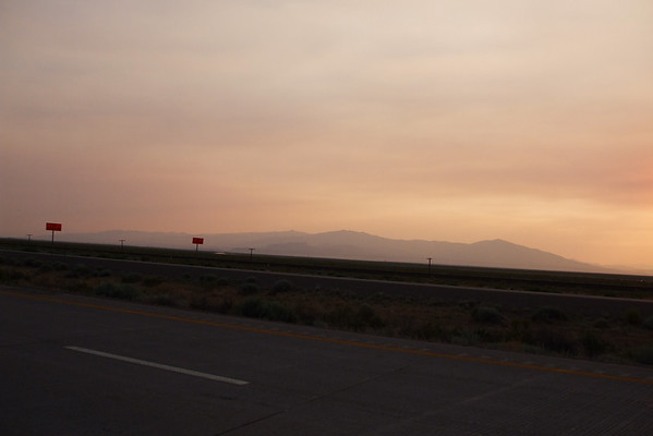
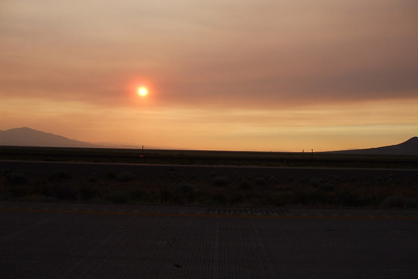
After both bikes had a chance to cool down a little we got on I-80 and headed east towards Elko where we would be stopping for the night. Even along the Interstate the views were great.

336511731_RAeDK-M-3.jpg


336511927_icQf4-M-1.jpg


336512535_mBEdx-M-1.jpg


336512707_Gckwt-M-1.jpg


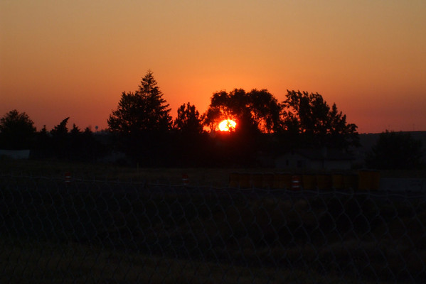
Sunset somewhere along I-80 in NV.

At one point along I-80 these 3 bikes got onto the Interstate and just take off. Not sure what the first one was, the second was a crusier and the third was a ST13. Well they just up and HAULED major buttage, we were doing 75-80 and they made us look like we were standing still. A little later we noticed that the NVSP use 4 door trucks for their weapon of choice, one NVSP had a new Connie pulled over, not sure if he was one of the three we saw earlier but he was getting an award, note to self, watch out for 4 dr pickups while in NV.

Anyway we pulled into Elko about 8:30 PM got to our hotel and our usual routine ensued, food, shower, sleep.

Day 6 would not be as long but it would be another hot day.

To be continued...........

 
When I opened my gas cap it opened with a WOOOSH!! When I looked into it I swear the gas was starting to boil!
:D I read about this quite a bit but never experienced it until last week when I was in New Mexico. The trick is to unlock the cap but not open it up right away. Of course, I forgot this when I refueled at the station closest to The Four Corners and I had to jump out of the way of the geyser eruption! <_<

Glad to hear about your discovery of the western roads. It's a much different type of riding than what we experience daily in the midwest, eh?

 
Murph,

Riding out west IS very different than here. As for the gas tank I've never heard of this happening. Luckily there was no eruption of gas from the tank. At least I know what to do if we're riding out west in the heat again.

Lets continue...

DAY 6
Today's route..

336847877_QN3xi-M.jpg


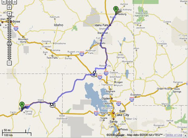
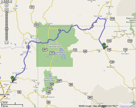
Today we'll be going from Elko NV thru Utah to Rexburg Idaho. Milage wise it was a shorter day but it would still be VERY HOT!

We got up early, about 6AM packed up the bikes and got some breakfast. The hotel where we stayed in Elko was okay, the room was nice but the continental breakfast was lacking. The breakfast goodies were at the front desk and the are where the front desk was, well small would be an overstatement. Basically you got what you wanted and went back to your room with it, which we did. We then geared up made a final check of the room then checked out about 7:30AM.

We then returned to I-80 and headed east to Wells, NV where we gassed up. NO escaping air from the tank as it wasn't real hot, yet.

336932325_VEceJ-M.jpg


337753102_hrE9p-M.jpg


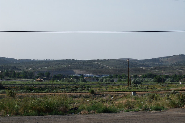
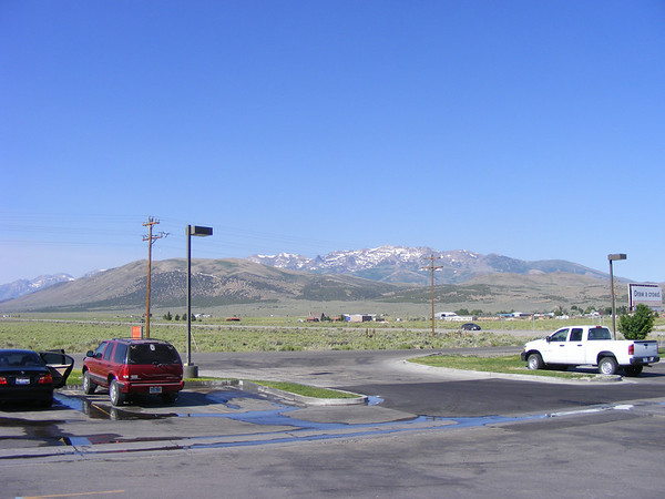
A couple of views from our first gas stop in Wells NV.

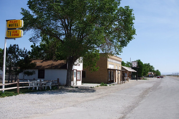
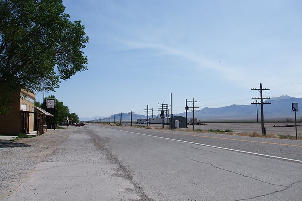
After gassing up we got back on I-80 to NV-233. There was NOTHING at this exit, at least until we got to Montello, NV.

336934885_tHGuk-M.jpg


We stoped for a bathroom break and to remove our jeans so our gear was now underarmour, riding pants, boots, t-shirt, Darien, gloves & helmet.

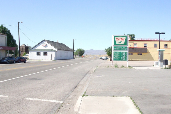
It was about 9AM when we got in to Montello and it was already HOT. And the people here we much nicer that the attendant in McDermitt.

336935215_YrcWk-M.jpg


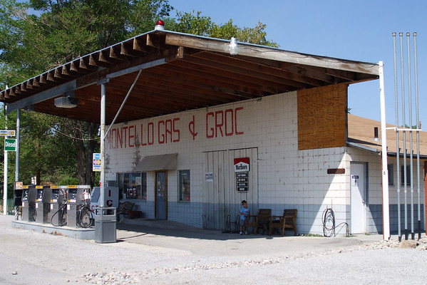
Downtown Montello, NV.

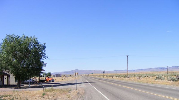
336934128_Q2cVC-M.jpg


Utah is just down that way.

We left Montello and headed east towards Utah

336935993_RcW9x-M-1.jpg


The UT/NV border looking into NV.

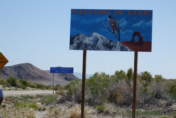
336937118_RjYhj-M.jpg


Entering UT. See the sign in the backround? Vicki missed it. And it was about 93 miles until we got into Snowville, UT. There were 2 towns between Montello and Snowville but there were no facilities, not even a tree to hide behind.

336938322_LqcDE-M.jpg


337756500_QsPmW-M.jpg


337756913_SKADS-M.jpg


Just open dessert, we had seen a couple of cars going the other wayb ut nothing behind us until we got into UT. Two cars had passed us and we were doing 70-75MPH. No cops=no speed limit I guess. I then saw Vicki waving her arm and pointing to the north when I looked I saw a twin engine jet, F-15 or -18, not sure, banking away from us. He was quite a ways in the distance over some mountains. Vicki said that there were 2 others as well, I never saw them, darn!

336941327_NSEB6-M.jpg


Along NV-30.

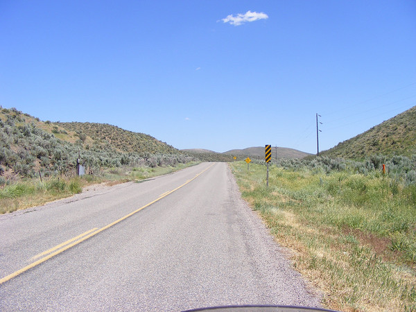
We finally pulled into Snowville and found a gas station, first order of business, FIND A BATHROOM!!! AHHH, with that taken care of we fueled the bikes and since they had a few minutes to cool off there was no whooshing from my tank. We also got some lunch and more ice & water. We also meet a guy from MI on a ST13 going to meet up with his brother. We talked a few minutes then we headed north into ID where we picked up ID-38. At one point we had to slow down as there was a cow on the side of the road, but we were warned.

337758174_CtNhL-M.jpg


336942755_vsoSb-M.jpg


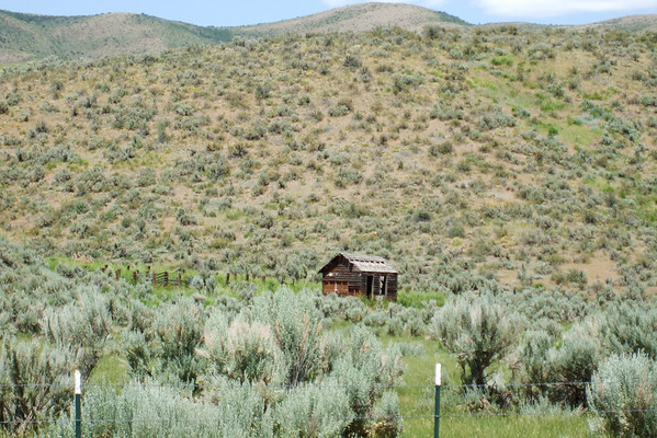
Little shack in the dessert along ID-38.

ID-38 was a neat road, nice curves and no traffic.

337758631_jzvSD-M.jpg


Along ID-38

We then got to I-15 and headed north towards Rexburg. It was a HOT day with very little cloud cover and we were going thru our water quite fast. At one point I saw some shade about a mile ahead of us but by the time we got there it was gone. So we pulled off into a rest area, Flying J, and took a bathroom break and shared a ice cream sundae. As we were getting ready to leave I was checking my front tire as the front end seemed to be acting a bit odd. At first I thought it was the road but Vicki said she was feeling the same vibes and it was then that we discovered our front tires had cupped, again! The same thing happed to us last year around labor day but I put that down to not checking the tire presure often enough. This trip we had been checking it every morning and keeping it at 42psi front 44 rear. Well from this point on any agressive cornering would be an adventure.

336945205_6CsTR-M.jpg


A view from the rest area.

337760392_3sgbZ-M.jpg


This group was on their way back to Kansas from Yellowstone.

337760868_oTKka-M.jpg


Another view from the rest area.

After talking to the group from Kansas we got back on I-15 and headed north. We arrived in Rexburg about 4:30PM which was way early for us. After checking in and unloading our gear we got our swiming gear and went to the hot tub to soak our knees. We were staying at the AmericInn, very nice hotel and fairly new as well. We also noticed that if you show your key card at the Applebees right next door you get 10% off, sweet! So after soaking our tired knees and finding out where their laundry room was we went back to our room and sorted our clothes and headed down to wash them. Well they only had one washer and one dryer and both were in use so we went to the front lobby to use the computer to see if there was a motorcycle dealer close by that could change the oil & filter on both bikes. We had already cover 3200 mile at this point. We found one not more than a mile from the hotel and they are a Yamaha dealer so we'll go there in the morning and see if they can change the oil & filter for both bikes, I brought filters with just in case.

That done we go back to the laundry room with a menu for Applebees, found some at the front desk, and by this time the washer was free so we started our first load and looked over the menu and decided what we wanted. I then went back to our room and ordered. Good thing they had take out as the only clean stuff I had was my swim trunks and one tshirt. They said it would be about 20 minutes so after lounging about our room for 15 I walk over to Applebees and tell them I'm there for our order, they said it would be a few minutes more, no problem. So I sit down on this long bench they have and there is a family of 3, mom, dad and junior, waitng at the other end.

Well Jr being about 10 and restless as any 10 year old, is bouncing his leg off the cussion on the bench and I'm thinking great I got to put up with this after riding all day. Well he stops as they bring out their order and as they're dealing with that I show my keycard to a different waitress and she says she'll be right back with my order and bill. The other couple sees this and since they're staying at the same hotel show their key card for their discount. Now had they LOOKED at the key card they would have SEEN that it was on the card. So they take their card and come back with the corrected bill and the 3 LARGE INDUSTRIAL STRENGTH sized milk shakes, one vanillia 2 choch and hand it to jr. Now this is the fun part, all jr has to do is HOLD them, they're in a cardboard holder so this shouldn't be to difficult. BUT, being the restless little puke he is he DROPS THEM!!!! AAAAHHHHAHAHAHAHAHAHHAHAHAHA!!!! :lol: I'm saying to myself, yes karma is a wonderful thing. This is how I know what flavors they had, had mind you. Now they have a mess on the floor and jr keeps saying "I'm sorry" over and over. Well mom and dad are REAL quiet and I figure once back at the hotel jr is in for an *** whoopin and I expect the police to be there in about 40 minutes from now.

Well the cops never did come to the hotel so I guess he lived. After I got our order and did not drop anything I returned to the laundry room where we enjoyed our meal. After finishing dinner I took what laundry was done back up to our room and relaxed. Vicki came up a little while later with the rest of the clothes which were put away and then we relaxed for a bit and then off to bed for tomorrow we would be in Yellowstone National Park.

Tune in next time for...

337758099_8TNrv-M.jpg


YNP

 
DAY 7
Today's route..
336859430_pyMXg-M.jpg


Today would just be a ride through Yellowstone National Park. The first national park.

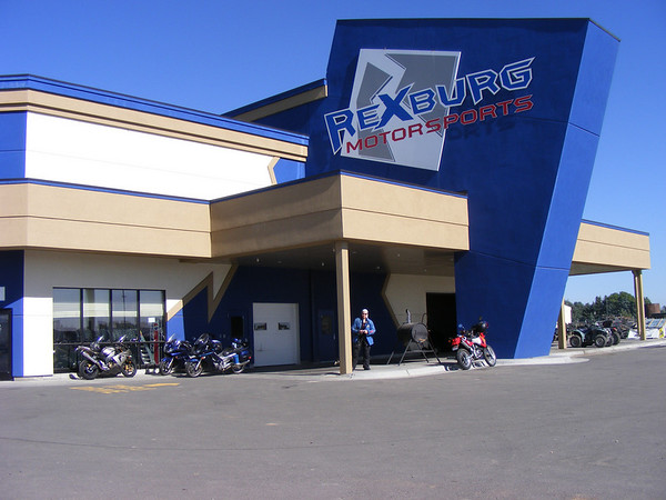
But first we would need to get the oil changed for both bikes, we had found a dealer that was about a mile from where we were staying. They opened at 8AM so we got up early and headed over, got there at 8:30 but the service dept was in a meeting. Yea, the whole service dept was in a meeting, according to the parts manager. Well one of the service guys came back and was able to get us in. I already had the filters and they had the oil so 30 minutes later both bikes were done. So :thumbsupsmiley: to...

337753969_ARgGF-M.jpg

Rexburg Motorsport

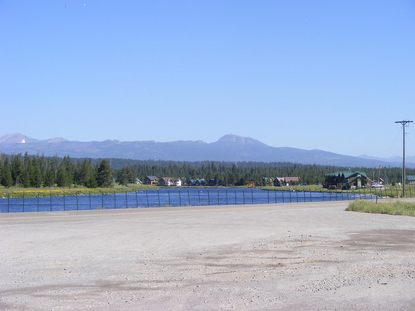
After getting the bikes done we were off to YNP. We head north on US-20 to Island Park, ID for gas.

337755371_EVS8y-M.jpg

View from gas stop in Island Park, ID

Then into Yellowstone,
337757226_yeNdj-M.jpg

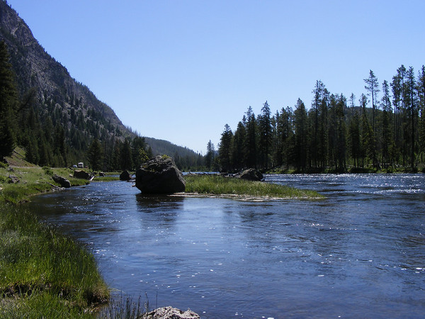
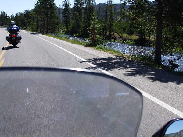
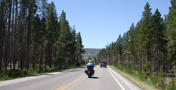
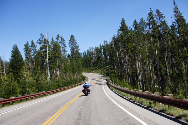
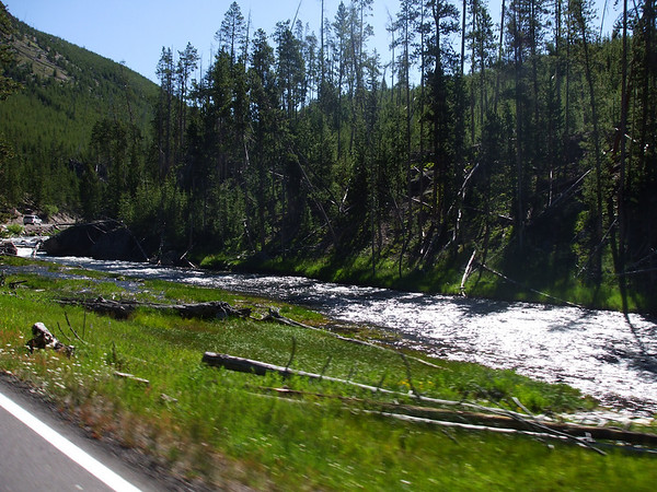
Along the Grand Loop Road the Firehole River runs along side.

337759033_S3XTd-M.jpg

Along the Firehole River.

336967180_MNGvf-M.jpg

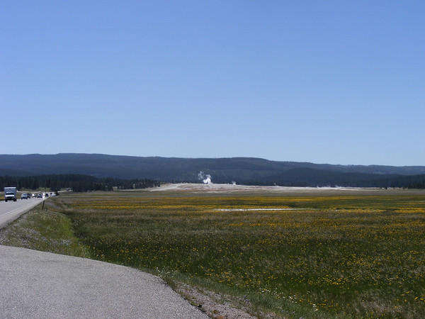
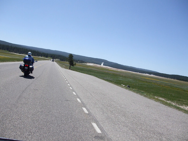
Going towards Old Faithful by the Lower Geyser Basin.

337760875_DatAw-M.jpg

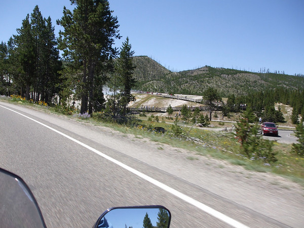
Lower Geyser Basin

336971640_5RKSS-M.jpg


336973955_DU3AU-M.jpg


336982656_MZM5t-M-1.jpg


336991061_Sv99Z-M.jpg

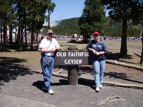
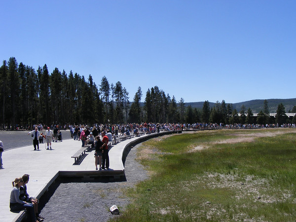
Me, Chili and Vicki at Old Faithful. This was a rather popular place, go figure.

337762905_KQmG2-M.jpg

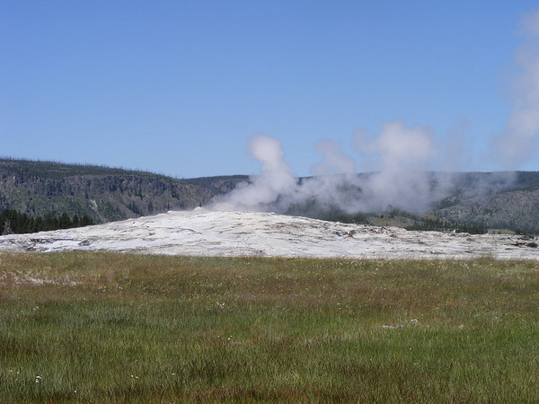
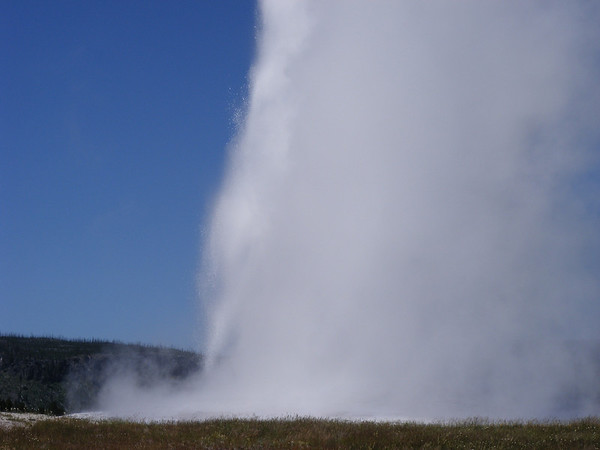
Old Faithful herself

337764961_dEumA-M.jpg

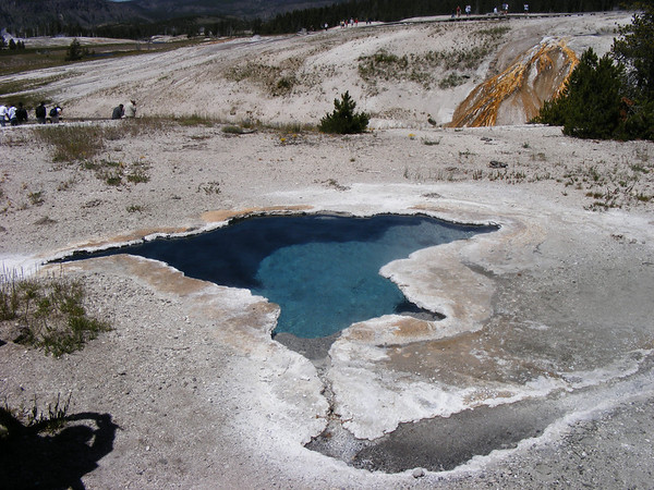
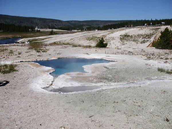
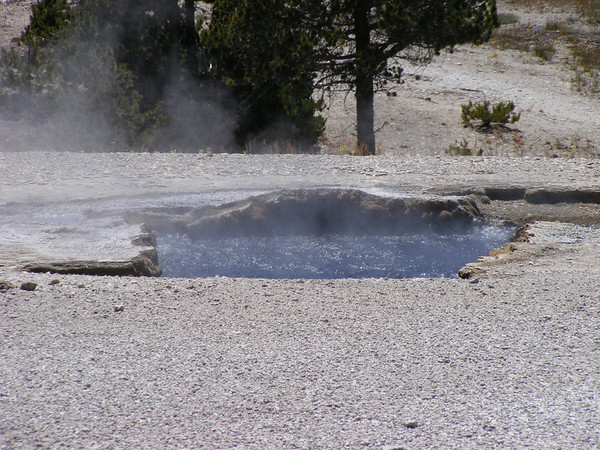
Behind Old Faithful there are other smaller geysers and these. The temps in some of these are 170 degrees, so no skinny dippin here!

337766830_G3T5L-M.jpg

336994120_yeLVE-M.jpg


337772637_UaTYP-M.jpg

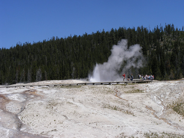
One of the other geysers behind Old Faithful.

337773922_w4sju-M.jpg

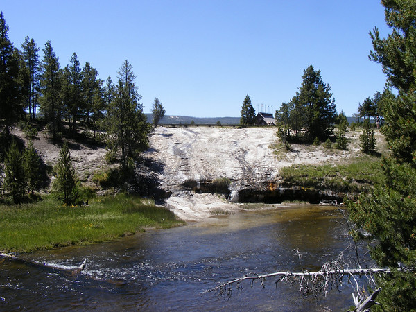
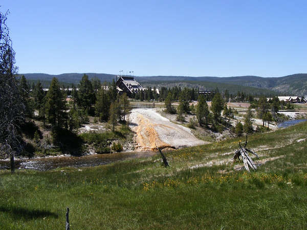
The geysers empty into the Firehole River. You can see how the minerals have discolored the rock. Not sure if anything can live in the river by these.

337775411_berRr-M.jpg

Old Faithful Lodge in the backround.

337777627_QWLrF-M.jpg

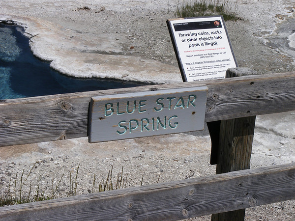
No swiming here.

337009480_5gXDd-M.jpg


337790721_A2RyA-M.jpg

Old Faithful

337796088_45RUt-M.jpg

The crowd starts to thin out after Old Faithfuls eruption.

After leaving Old Faithful we headed towards West Thumb but we first stopped here.

337796798_Txxrf-M.jpg


337798237_Rz4Cz-M.jpg

It's amazing, we were at a higher elevation here than at Logan Pass in Glacier NP and it was warmer in Yellowstone, go figure.

337048934_fzBFU-M.jpg


337056334_MGQyr-M-1.jpg

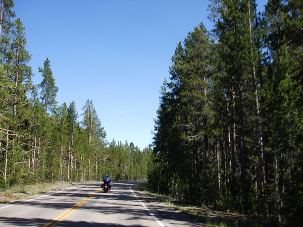
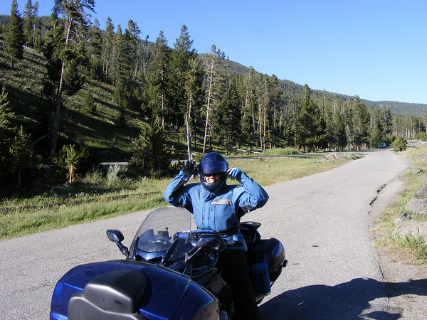
It was then on to West Thumb and along Yellowstone Lake. As we passed by a rest area that I missed I started looking for a place to turn around so we could take a break. I found a place to pull over to the side of the road, the shoulder was sloped a little away from the road. As I start to turn around I either cut the front to hard or I was going to slow but I went down. Somehow I manage to hit the kill switch as I went over but now my left ankle is pinned under the center stand and my left hand is pinned under the faring, how that happened I'm not sure. Anyway the center stand is digging into my left leg just above my ankle and it HURTS!! At this point Vicki runs up and is able to lift the bike enough so I can get my hand out from under the faring this allows me to get a better angle on the bike and I'm able to push the bike off of my leg and I start to push the bike up. Just then 2 guys in a car going the other way stopped and helped get the bike upright and to the side of the road. We thanked them and after they made sure I was okay they left. This opend up the road for everone else. One car that had come up behind us stopped to make sure we were okay, I said we were and the Pickup behind her starts honking his horn! WTF! What a tourist.

Anyway, there was some minimal damage to the bike, some scratches on the left engine cover, some on the faring, on the thermos holder and a few on the left bag. We stayed on the side of the road for a few minutes to let the adrenilin rush subside. We took off and found a different spot to stop for a bathroom break.

 
DAY 7 Continued
337801405_5vxRr-M.jpg

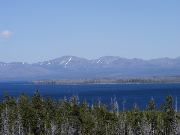
Yellowstone Lake

337091919_kqAeM-M.jpg

Along the north end of Yellowstone Lake.

337114388_xw86j-M.jpg


337803189_Y4C4B-M.jpg

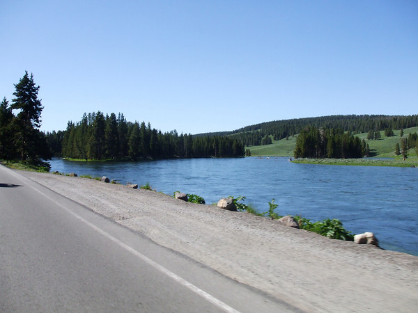
Yellowstone River along the Grand Loop Road

337120179_Akk4J-M.jpg

Heading towards Canyon Village

337137967_5r7gx-M-1.jpg


337157455_5wQnW-M.jpg

Vicki took this self portrait as we started to head back to the park entrance in West Yellowstone, MT. I like this shot, pretty cool if I say so myself.

337804044_7hfUy-M.jpg

Just before leaving YNP, just lighting the mood.

We left YNP and headed back to Rexburg, we got back about 6PM we did the entire day on one tank of gas. We went to Applebees for dinner, remember we get 10% off, for a light dinner, shower and sleep. We got everything packed up before turing in so all we would have to do is load the bikes in the morning and leave.

Tomorrow we would go thru YNP to pick up US-212 and to the Beartooth Pass. Now that would be FUN!!


To be continued..........
 
DAY 8
Today's route.
336865387_3td4U-M.jpg


Today would take us from Rexburg, ID thru Yellowstone across the Beartooth Pass the down to Cdy, WY. My original plan was to do the Beartooth and turn around in Red Lodge MT and head back up the Beartooth to pick up the Chief Joseph Hwy into Cody so we could go to the Gran Tetons the next day. But due to the amount of time it took us to get thru YNP I had to change our plans and go directly to Cody.

We left Rexburg about 8AM fueled up the bikes and got some water, we got ice at the hotel, then headed back to Yellowstone. A few miles after entering YNP there was a sign that said no stoping or parking next 1/4 mile. This was due to a Eagle nest that was close to the road, and naturally some maroons just had to stop and see it. What part of NO STOPPING OR PARKING don't you understand? Some peoples kids!

Anyway after reacing the Grand Loop Rd we turned north and headed towards Norris. We made a stop here..
337242759_SNXyT-M.jpg


337242542_Txd4V-M.jpg


337762895_kqioz-M.jpg

Hey, we all had to go.

After a quick bathroom break we continued on to here
337244792_pBQEF-M.jpg


337763676_v3VqV-M.jpg


337768533_uiQsM-M.jpg


Not as many waterfalls as Glaicer but just as beautiful.

337246298_3L8Lb-M.jpg

And of course there is a rive alongside the road. The Gibbon River I think. After getting to Norris we headed to Canyon Village where we stopped for another break, no pics this time but we did meet up with a guy from Florida on an FJR. He told us that the road from Silver Gate to Cooke City had been taken out by a slid but was open. It was 4 miles of gravel & packed dirt, great. Well we takled to him for almost an hour, this is what threw off our time but no big deal.

After leaving our rest stop there was a sign that said Caution winding narrow road, didn't look narrow to me, what do you think?

337248201_8mEgL-M.jpg


337248907_Bbbdj-M.jpg


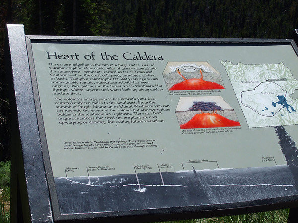
We also stopped at a point that has info on the volcano that is underneath Yellowstone.
337257894_LjKyu-M.jpg


337769494_3KKBZ-M.jpg

337769953_PQCng-M.jpg

The road by the overlook

337253263_VHjYW-M.jpg

337254748_yVfnE-M.jpg

A couple of views towards the Caldera.

337260286_aSEUk-M.jpg


337262294_kNzB6-M.jpg


337268646_PyoSJ-M.jpg

This still doesn't look narrow to me. But I do notice that I ride a bit close to the center line, maybe I should move over a bit. Anyway at Tower Junction we headed out the Northeast entrance road where we crossed another river.

337774194_yfX6F-M.jpg

337775417_9GPbS-M.jpg

337775808_r3EWb-M.jpg


As we got further north into the park there were fewer people and less traffic, which was great. In my opinion the north end of the park has some really GREAT views.
337274328_LNPxX-M.jpg

337774634_dbgpB-M.jpg

Still by the Yellowstone River

337778807_a7XPe-M.jpg

Even some twistyness by the river.

337279213_6qwh6-M.jpg

337280628_tQPdC-M.jpg

These two are of the Lamar River before we exited the park. The views and the fact that there are fewer people up here just made for much more enjoyable experience. IF you go to YNP go to the nrth end of the park, you won't be dissappointed. I want to go back to check out the east side and the south end of the park, maybe next year????

337282309_xM5LW-M.jpg

337780004_M5dSC-M.jpg

Closer to the Northeast entrance.

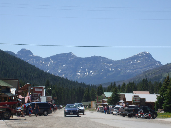
We then exited the park and sure enough as we got into Silver Gate the road turned into gravel & packed dirt, about 4 miles of it until we got to Cooke City, MT.

337284479_WdLQt-M.jpg


You can see that even in Cooke City the road was under repair. Just for the record I don't like gravel roads, not that I'm afraid of falling I'm just afraid of getting a flat. We have a repair kit and a pump but if a tire had been cut, well we are in Cooke City MT, not much there in the way of MC Tires.

But we made it through so we got lunch for the bikes and we had lunch here.
337786264_2AN7P-M.jpg


DAY 8 Continued
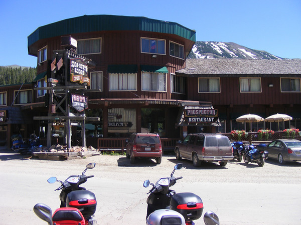
We also went across the street to the Yellowstone Trading Post to help stimulate the economy a little more.
337782833_C2y2A-M.jpg


Then it was onward and upward to the Beartooth Pass.
337289144_hxCLH-M.jpg

337786839_Qp2PF-M.jpg


US-212 is an amazing road, there are a few spots that could stand to be repaved but it is better than most of the roads around here.

337791541_fDgVC-M.jpg

337791863_zdRMJ-M.jpg

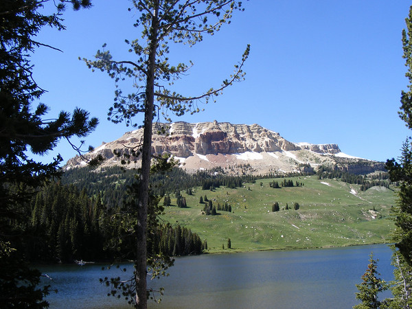
At one turn out we found this alpine lake(?)

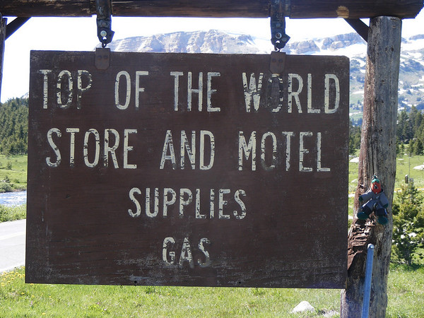
We then came up to a clearing and found the Top of the World store & motel.
337793233_LK5ti-M.jpg


This wasnt the top of the world but it was close. A couple on a gold wing told us the views up ahead were much better.

337792560_zSohc-M.jpg

337792893_596zs-M.jpg

Another group finds the Top of the World store.

337787512_PyEpk-M.jpg

Getting closer to the top.

337297562_8XkMs-M.jpg

HERE IT IS!! Now THIS is the top of the world.

337299736_gzEMC-M.jpg


337300464_XUGsn-M.jpg

I loved the way the road just turned back on itself. We really enjoyed this part of the day.

337301228_U2x7x-M.jpg

337303002_PmAM5-M.jpg

337795494_3UyUm-M.jpg

Not sure but I think one of the HD riders may have fallen over a little further down the road. Noting major, just a tip over. They left this spot before us and as we came up the road I saw one of them on the shoulder of the road and it looked like he had just picked his bike up. Like I said not sure about this.

337305779_JioQc-M.jpg

This may be the only time that our FJRs see snow while riding..

337796101_xTTy2-M.jpg

After coming around a curve like this one there was a car stopped in the middle of the road! It was a good thing we weren't going to fast otherwise it may have hurt! Who in their right mind would just stop on a blind curve? Well this rocket scientist did move and pull off of the road but really!

We then desended into Red Lodge MT, but as we were coming down the mountain this bike started to come up on us from behind quite fast. I saw that he had passed Vicki so I moved to the right and waved him through. He passed by and waved and was GONE!! He took a few of the corners on the wrong side but he was not reckless. He must have been local, there was a temp tag on the back that looked like it may come loose. Well we got into Red Lodge, he did slow down to the point where I could have repassed him but he turned off. We than turned east on MT-308 which turned out to be a nice road itself. Nice sweepers and almost no traffic.

337799065_FnJdB-M.jpg

337797895_AvPna-M.jpg

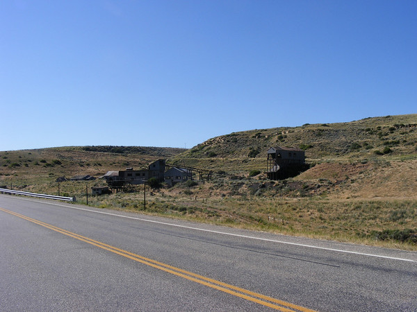
The Smith mine along MT-308

337798305_YemYr-M.jpg

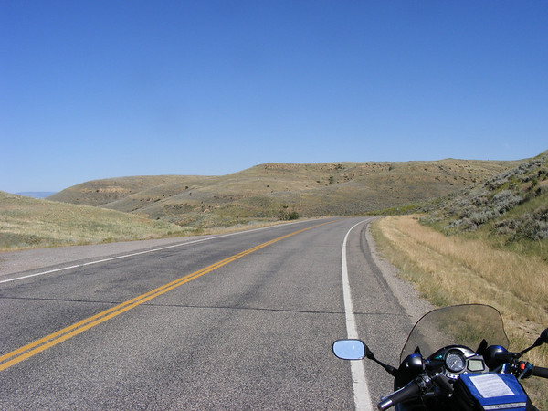
MT-308

After getting to MT-72 we headed south to WY where MT-72 turned into WY-120. We followed this into Cody, WY where we would be staying for the next 2 days. We got into Cody about 7 PM, there was a restaurant next door to the hotel so we got some dinner and then took a walk into downtown Cody.

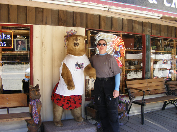
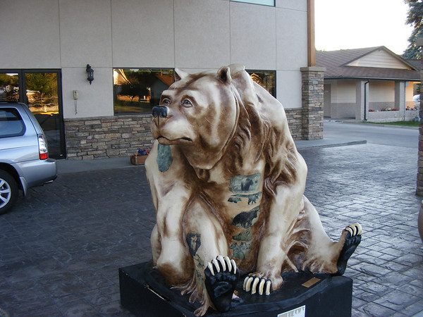
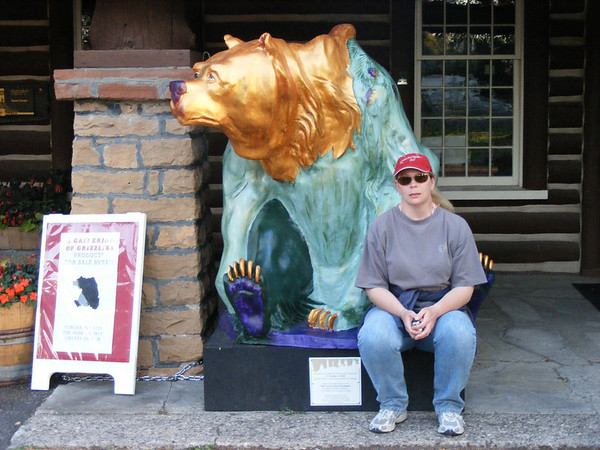
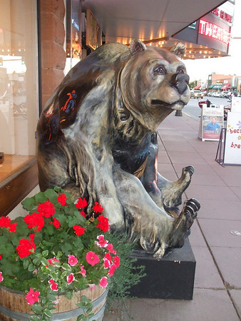
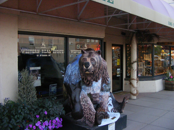
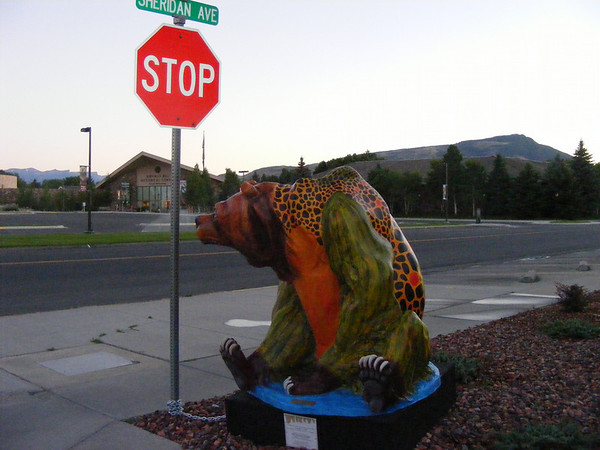
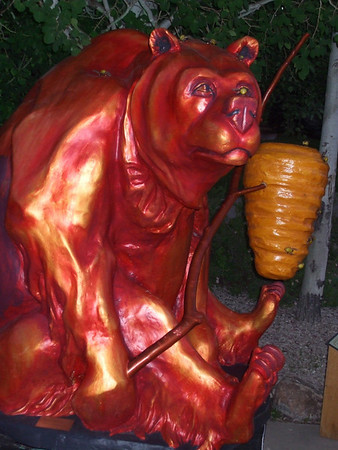
They had bears along the sidewalks like Chicago had the cows.
337799746_57uuc-M.jpg

Out in front of our hotel.

337800367_qToNG-M.jpg

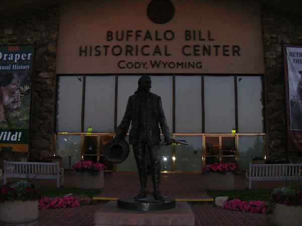
The visitors center.

337309327_vXS6S-M.jpg

By an art gallery

337801400_fZoda-M.jpg

Real estate market is a bear in Cody, (insert rim shot here)

337801991_iMZXC-M.jpg

This one keeps an eye on traffic.

337314856_kSkDZ-M.jpg

Getting some honey.

337803810_asCNN-M.jpg


It was then back to the hotel for a shower and some sleep. Tomorrw would be a quick run to the Chief Joseph Byway to Cooke City and back.


to be continued....
 
DAY 9
Todays route...
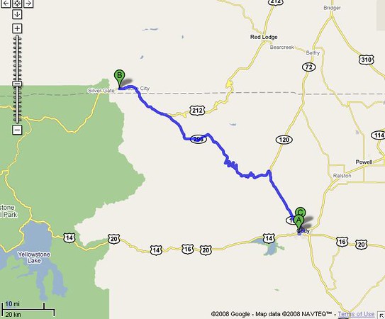
336872098_kn3bc-M.jpg


I had actually planned to go to the Grand Tetons today, but time constraints had me cjange our plans. Maybe next year we'll get back out this way and see the east & south end of YNP and the Tetons.

We awoke to another bueatiful day about 6AM got some breakfast then geared up, gassed up and headed out towards the Chief.

337249440_PTX4S-M.jpg


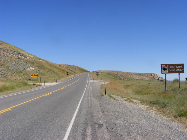
Right from the start the road started to climb. Not a steep grade but you could tell you were on your way up.

337764709_ti9iC-M.jpg


337249916_ATcmH-M.jpg

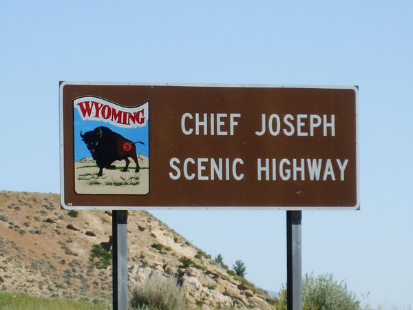
Along the Chief Joseph just off of WY-120 where we started.

337765101_t3jnD-M.jpg

Climbing and turnning.

337253205_WKacq-M.jpg

This is just the begining and it just got better!

We haven't even gotten to an overlook and we had stopped 3 times already. The views along here are..... well just look.

337251789_emust-M.jpg


337252278_epCgd-M.jpg


337765952_jdZVs-M.jpg

Amazing comes to mind.

337766970_LRY3a-M.jpg


337767500_srEjT-M.jpg


337254955_35gSZ-M.jpg

From our 3rd stop along the Chief.

337257255_JezL8-M.jpg

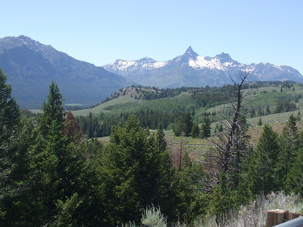
We continued onwards but had to stop for this view. There are NO mountains here in the midwest so seeing this and all the other views like this we just had to stop. Now you see why time was an issue, there just wasn't enough of it! I should have planned for a third day in Cody.

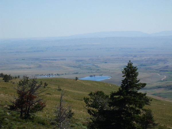
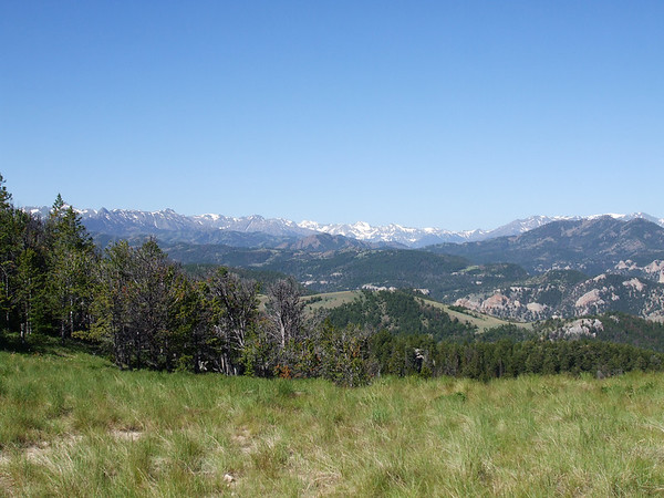
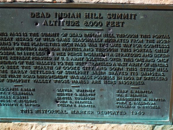
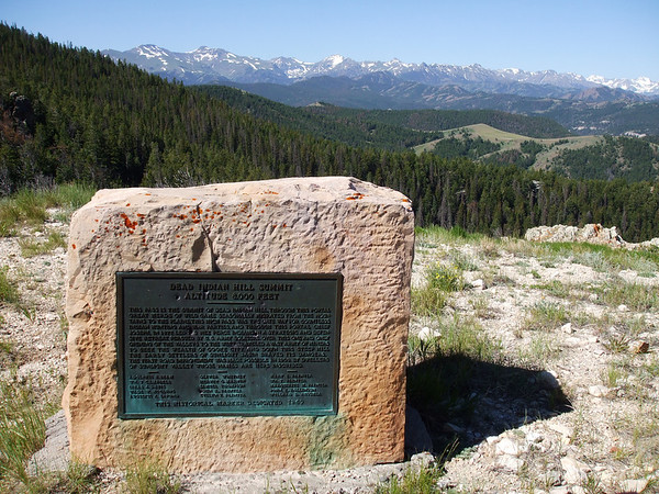
We finally got to the Dead Indian overlook.

337258419_ciFMk-M.jpg


337259102_c9oBs-M.jpg

More stunning views from up here.

337259675_oLU7y-M.jpg

You can see part of the road down there, looks like FUN!!!

337260303_STQeM-M.jpg

One of the locals

337260845_KjYnf-M.jpg

Oh yea! That definitely looks like fun.

337263025_fVGjM-M.jpg

The overlook.

337772753_7WgqA-M.jpg

We could hear these two working the road . We saw then go by the overlook, 2 BMW's, and you could hear them as they went into then out of the turns. Aftermarket exaust systems, not loud and obnoxious, just enough to hear them, and we did.

337773159_5kuvN-M.jpg

Just, WOW!

We left the Dead Indian Overlook and feasted on the curves of the Chief Joseph see above. Even with a cupped front tire it was a hoot! Must get back out here!

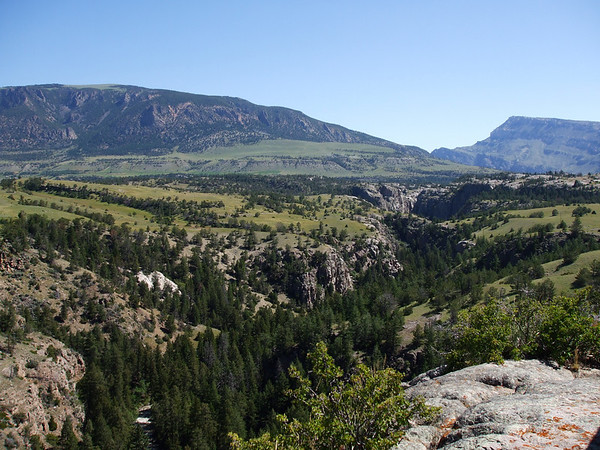
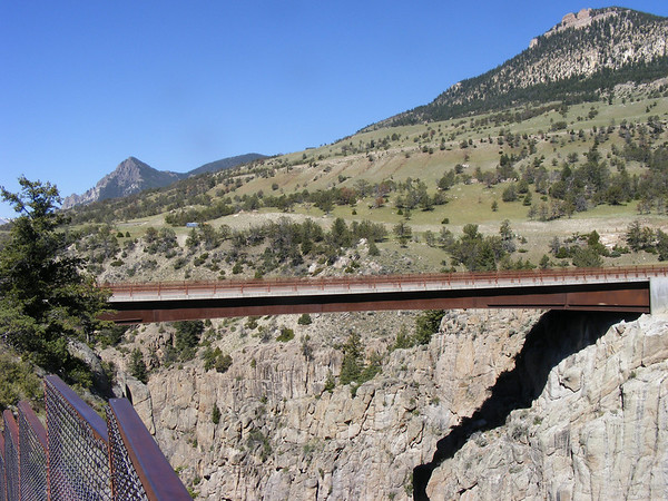
Our next photo opp came at the Sunlight bridge that spans a gorge.

337263611_CTDys-M.jpg


337264725_vQUYi-M.jpg

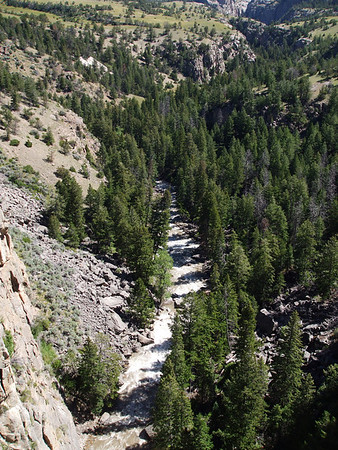
Looking down from the parking area.

337266547_wzWh5-M.jpg

There is a river down in there, somewhere.

337267681_kojaz-M.jpg

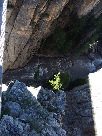
There it is!

337270611_Gi69Y-M.jpg

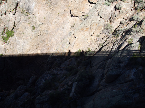
Looking down from the bridge. It's a looong way down there.

337271193_YQKUB-M.jpg


337779572_acVzG-M.jpg

The Sunlight bridge.

337782467_hQreq-M.jpg

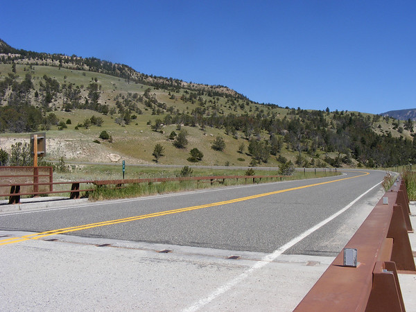
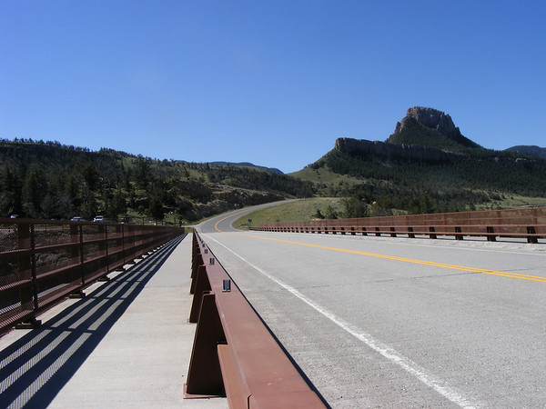
The other side of the bridge, this way to Cooke City, MT. I had to goole the Chief to find the name of this bridge.

337782114_8miZf-M.jpg

That way back to Cody, WY.

 
Top