grnarrowe
Well-known member
As some of you may know last year we had gone west to Custer SD for vacation, on the return trip Bluebear06, Vickis, ignition had crapped out in Valentine, NE and we ended up having to backtrack 200 miles to Rapid City SD to get a truck to bring home her 06. We also stuck mine in there as well and trucked both bikes home. Since then the ignition was replaced by Yamaha and it has worked as it should since then.
SO, being the adventurous soles we are we started planning for vacation 2008. But where do we go? (Quiet Radman!) Well, we'll have to go a little further west this time and while we're at it let's go further north and south as well, so I started to plan the Westward Ho! trip back in November of 07.
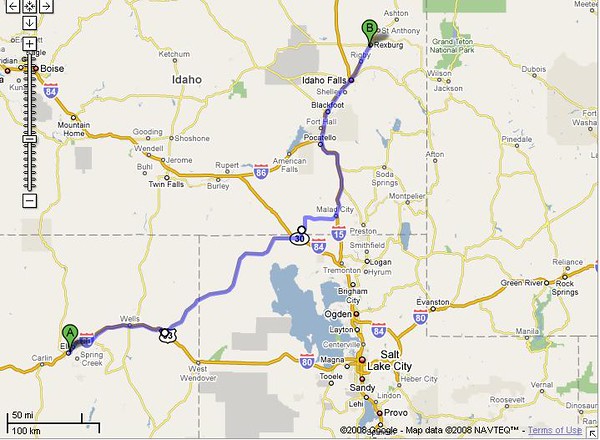
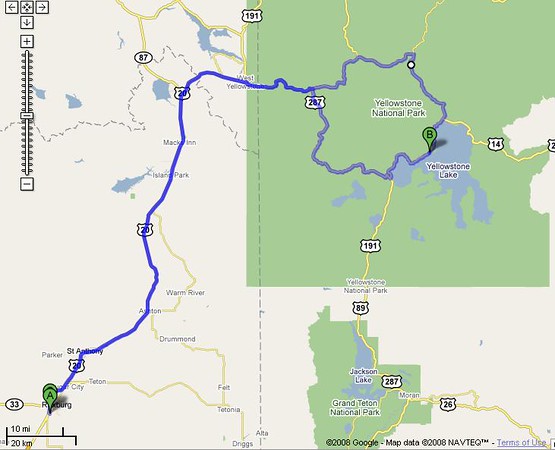
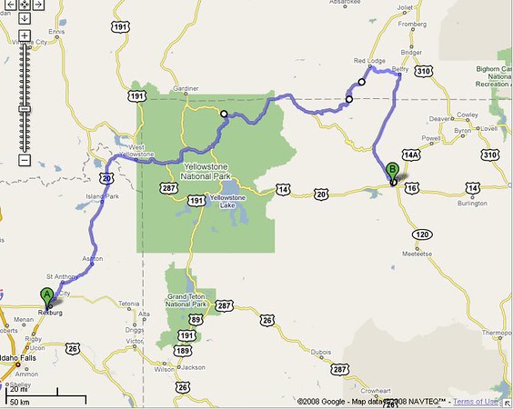
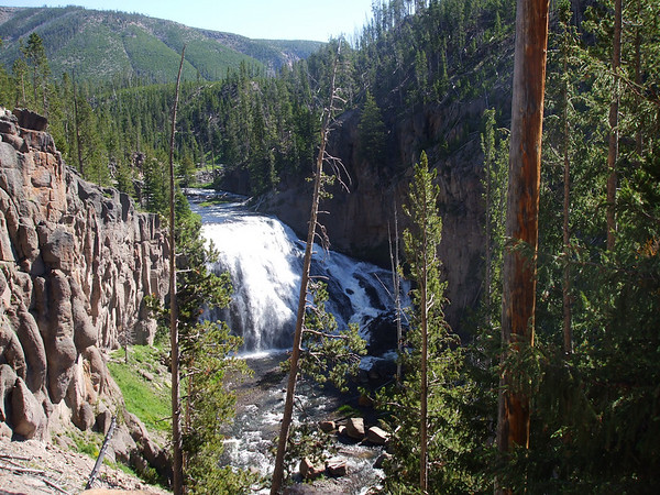
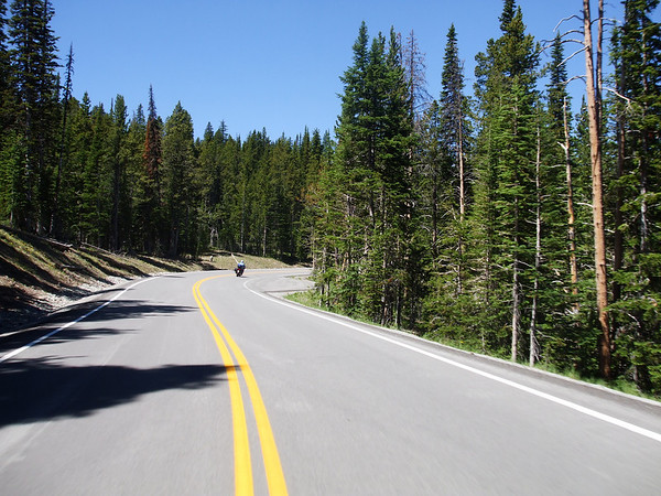
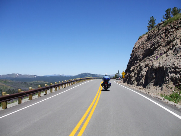
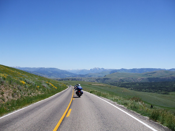
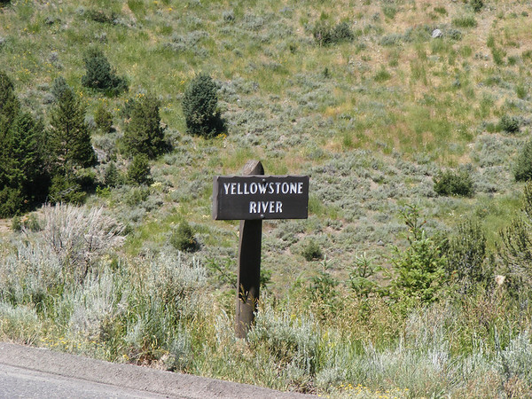
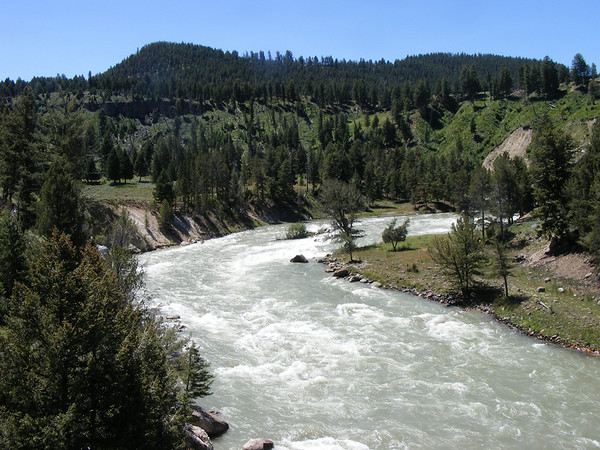
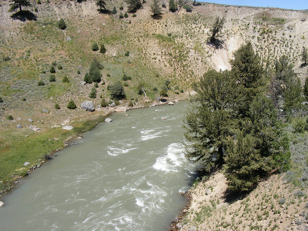
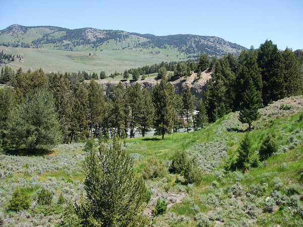
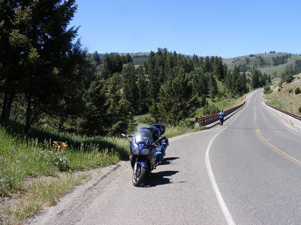
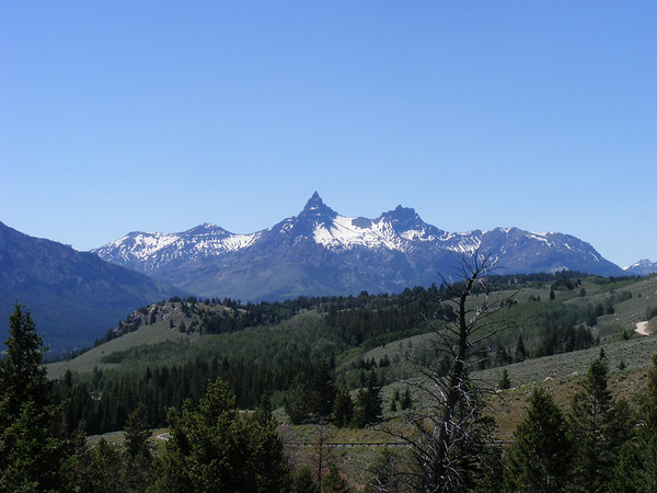
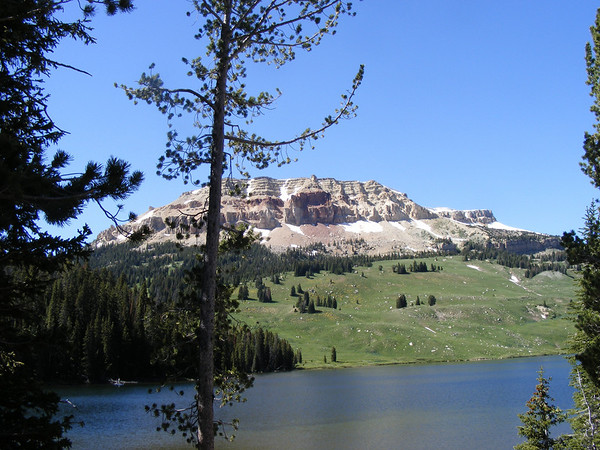
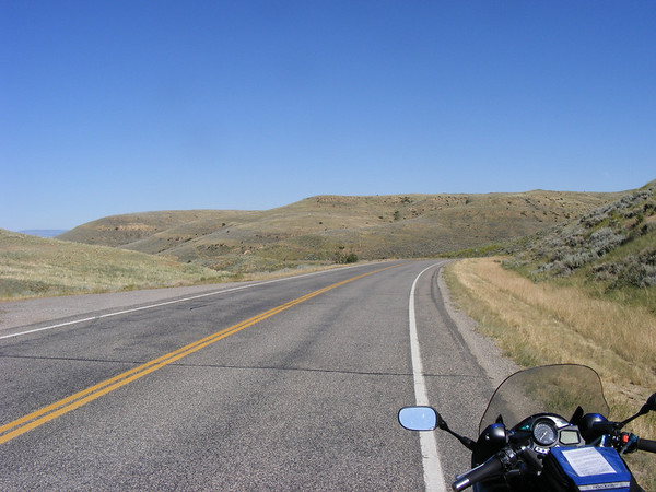
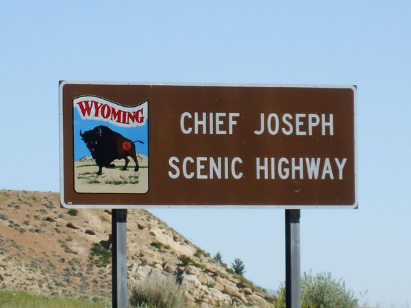
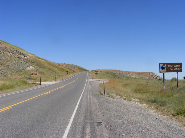
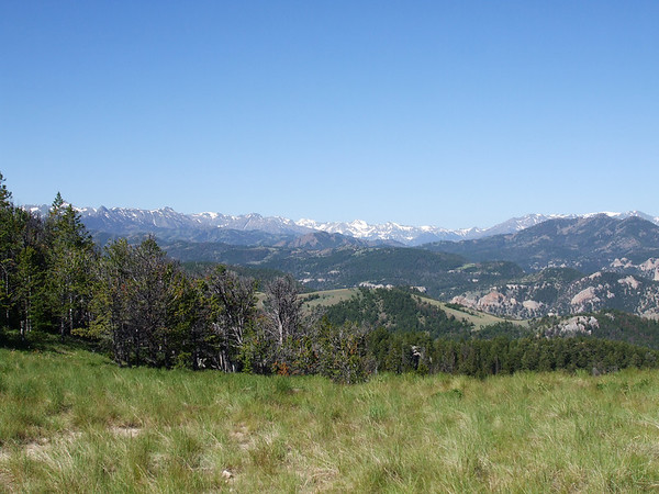
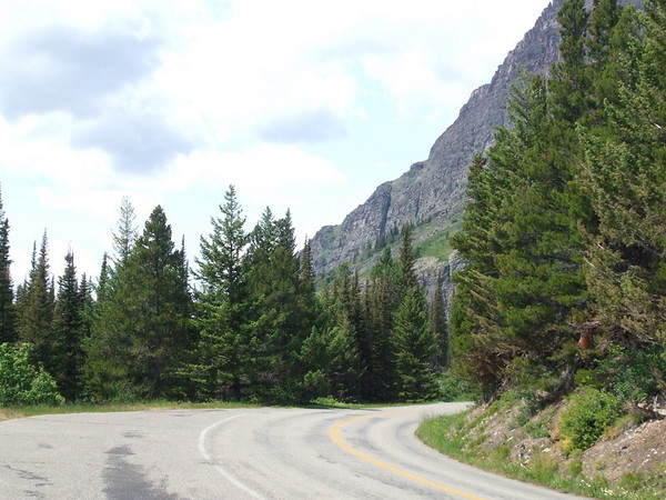
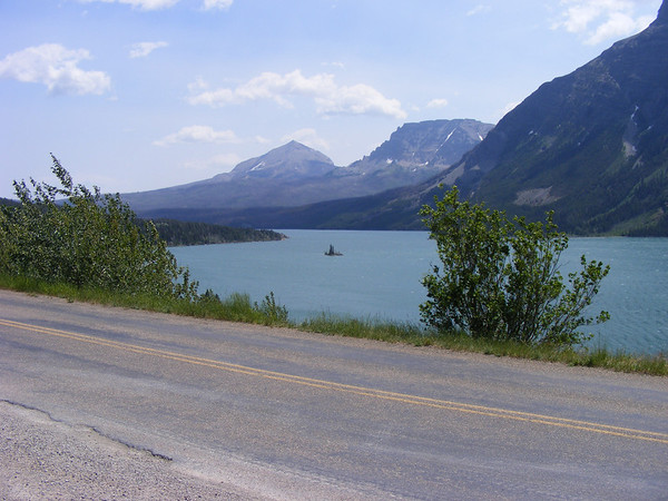
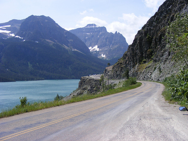
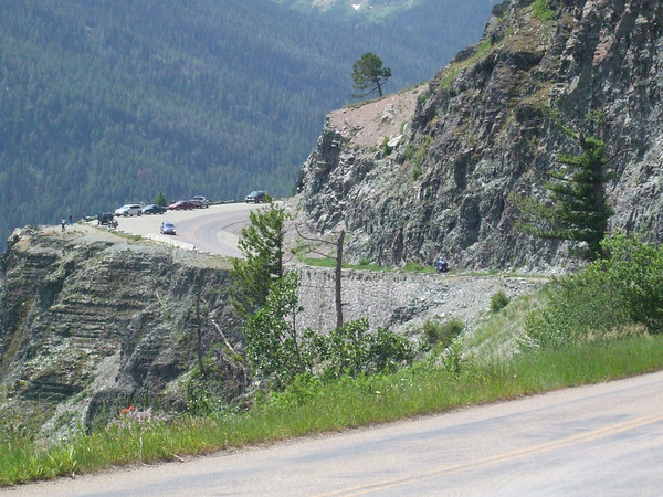
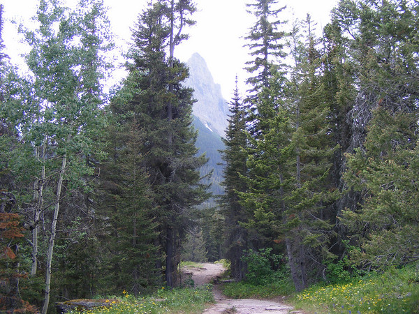
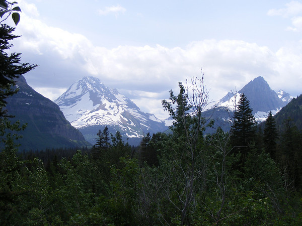
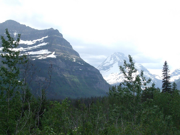
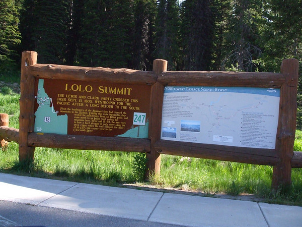
We had heard of all these roads out west that are a must ride type of road, you know the Going to the Sun Hwy, Lolo Pass, Rattle Snake Ridge, Beartooh Pass, Chief Joseph and Spearfish Caynon so I got about to planning a trip that would include ALL OF THESES roads. Ambitious, yes but what the heck lets go. At first Canada was not included but when Vicki saw the route I had planned she said why not go to Canada, eh? So I penciled in Canada, eh? Mapped out the routes made all the hotel reservations then changed them after we made a change to stay an extra day in Cody, WY. Then sat back and waited, and waited for the first day of our journey. This year we would go from home in IL thru WI, MN to ND then north into Sask, west to Alberta then south into MT across ID to WA south into OR then further south to NV then east to clip Utah, north back into ID east thru WY back into MT then back into WY then SD, MN, WI and back home to IL. Just over 5500 miles in 13 days.
Let us begin.
DAY 1
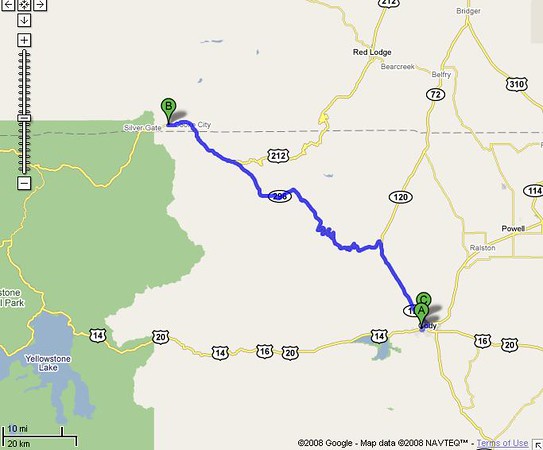
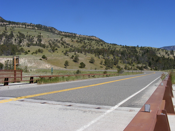
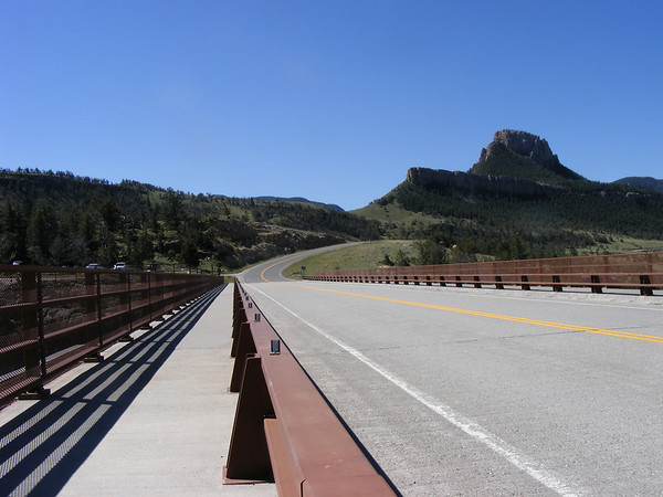
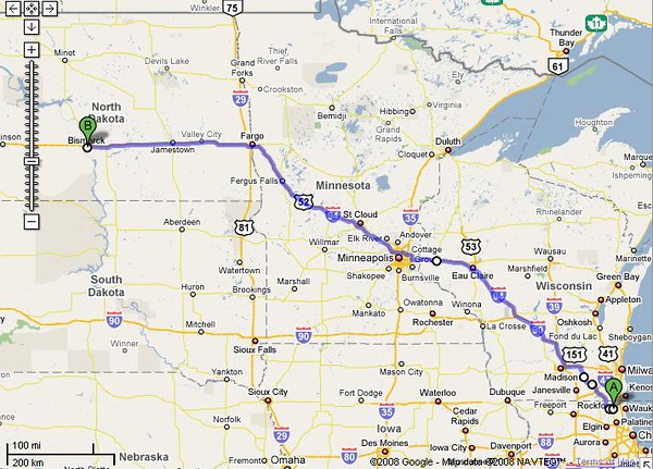
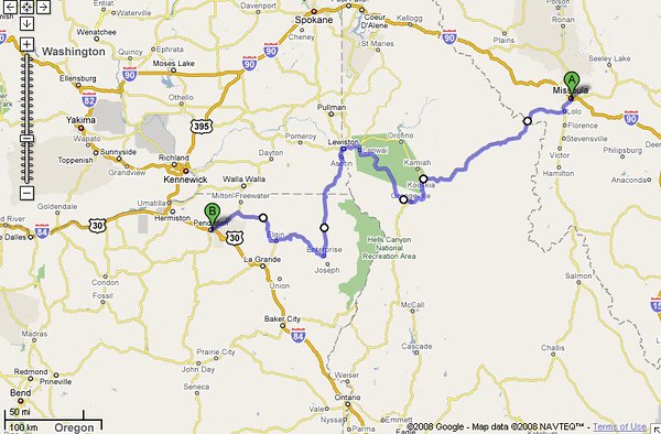
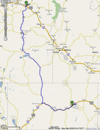
Today would be a quick 800 mile jaunt from home to Bismarck, ND.
Today's route..
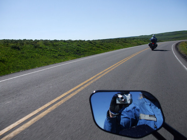
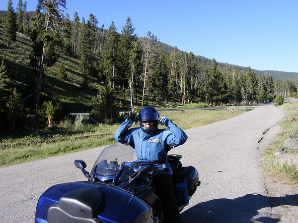
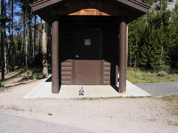
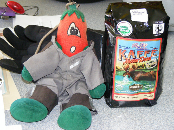
And for those of you who are familure with the Sport Touring site we had a traveling companion with us for this little journey.
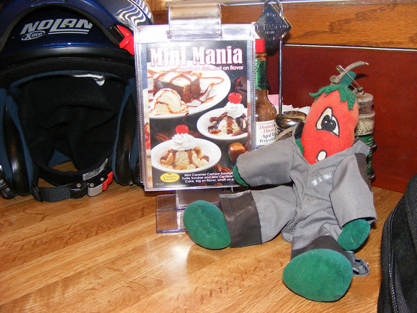
Chili, the official unofficial mascot of Sport-Touring.net
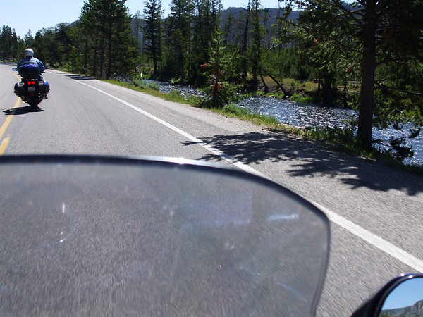
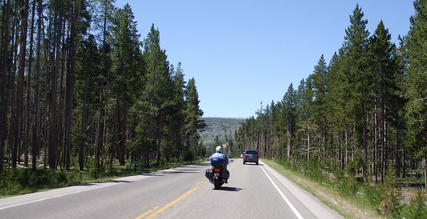
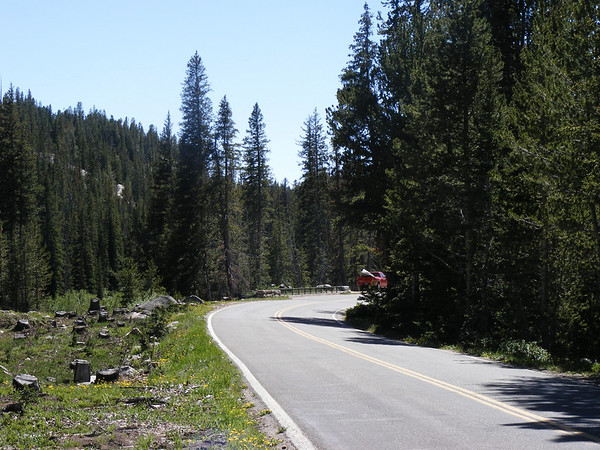
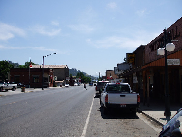
We didn't take any pictures as it was all interstate riding. We had left home at 3:40 AM or OHdarkthirty. After our first gas stop and breakfast we continued north & west along I-94, and as the sun came up so did the temps. It was going to be a hot day. By the time we got around Eau Claire,WI it got windy and it stayed that way all the way to Bismarck. We had gotten rained on shortly after entering ND but that only lasted 10 minutes at most. It then got back to being hot.
We pulled into Bismarck about 8:00 PM, got some dinner, took a shower, and got some sleep as we would be leaving tomorrow at about the same OHdarkthirty hour again, about 4AM this time.
DAY 2
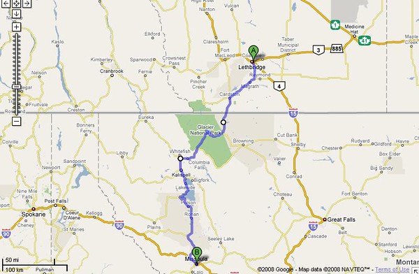
Today's route..
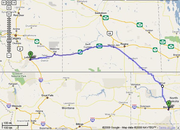
Today would take us from Bismarck, ND to Lethbridge, Alberta Canada. As stated we left at 4 AM and headed north on US-83 towards Sask, Canada. Today we would take a few more pictures.
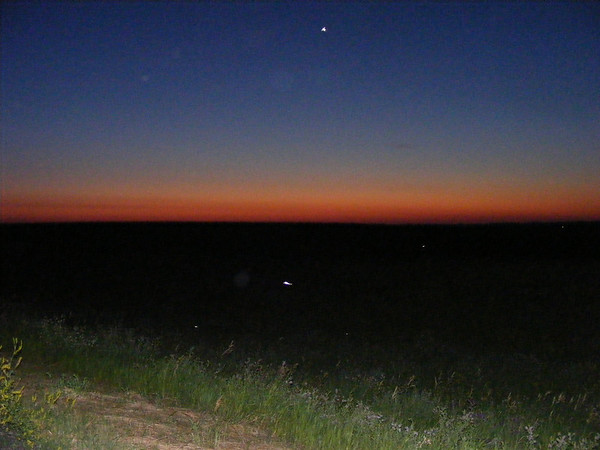
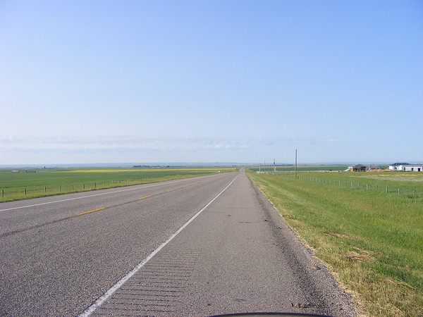
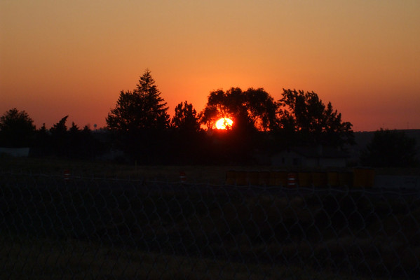
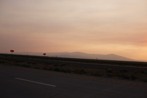
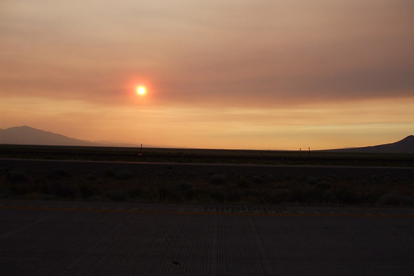
Sunrise along US-83 in North Dakota.
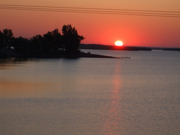
Sunrise by Audubon Lake in ND.
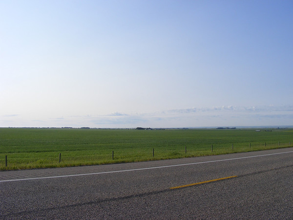
After watching the sunrise we continued to Minot ND for breakfast and fuel. As we continued north & west on US-52 we came upon this.
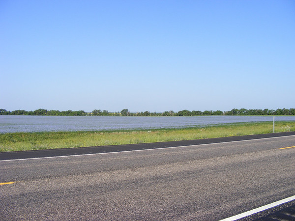
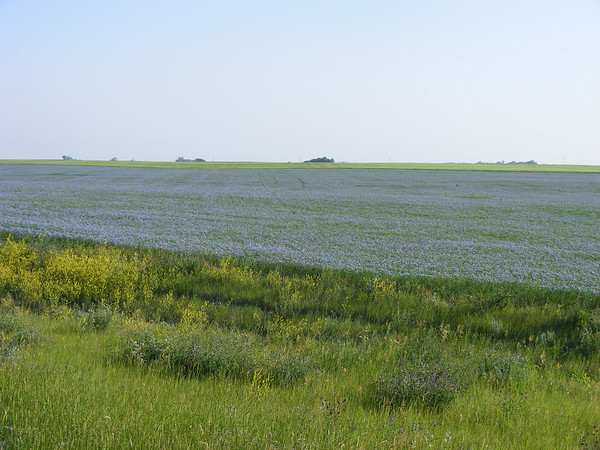
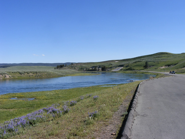
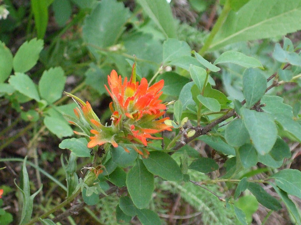
From a distance it looked like there was water on either side of the road, turned out to be a sea of blue flowers, neat. The real lake was just up the road a piece.
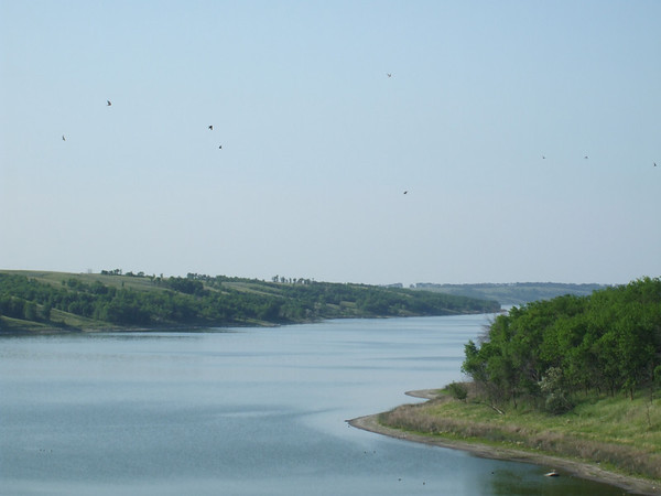
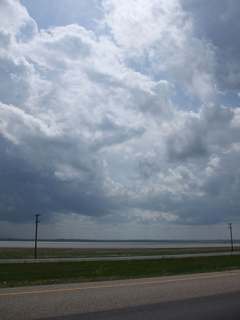
Des Lacs lake
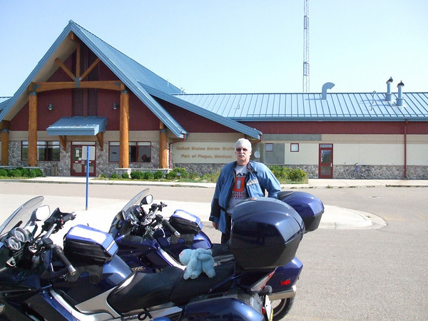
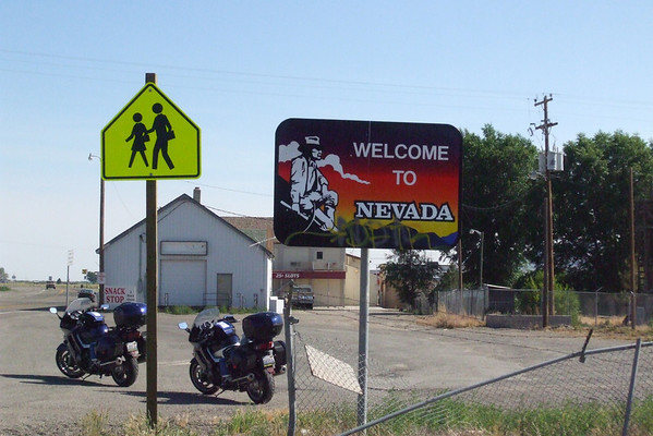
After this it was a hop, skip and a jump to the Canadian border. We had gotten our passports back in March so we were set to go out of country, sort of.
As we pulled up to the crossing the last tune finished on my Ipod, and appropriately it was a Rush tune. I went to the crossing first telling the border agent that the other bike was my wife and we were on vacation and had not stopped at the duty free store he had me pull up. After he talked to Vicki they asked us to come inside, we have different last names so they wanted to check things out. That took all of 5 minutes and we were on our way, no cavity searces for us today thank you very much.
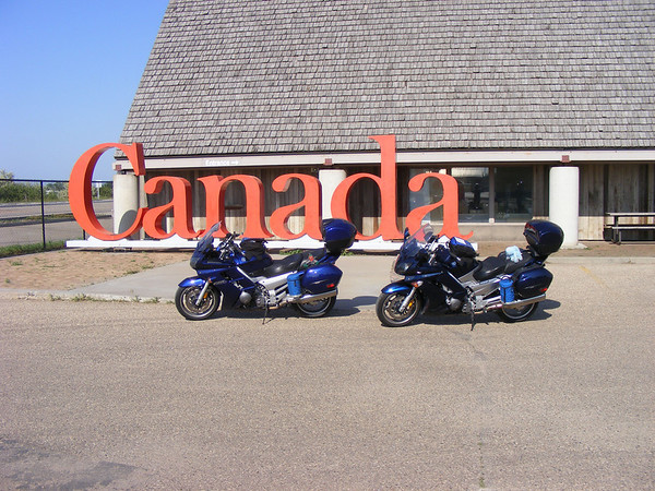
Crossing into Canada. Don't tell anyone but Chili didn't have a passport so I smuggled him in, ssshhhhhhhhh!!!!
We then headed north on PR-37 to the Trans Canadian Highway but as we entered Estevan, Sask this semi goes flying past the other way and hey is that an aiplane in the sky, THUD!!!! Nope, it was a rock which landed on the top of my helmet shatering the vent cover, see.
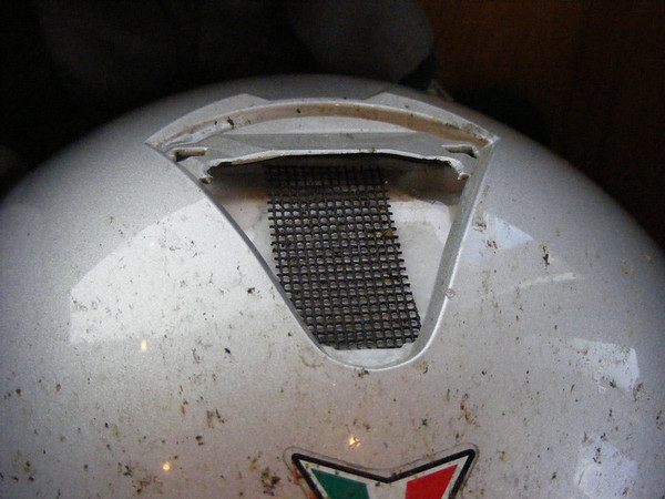
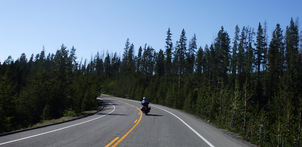
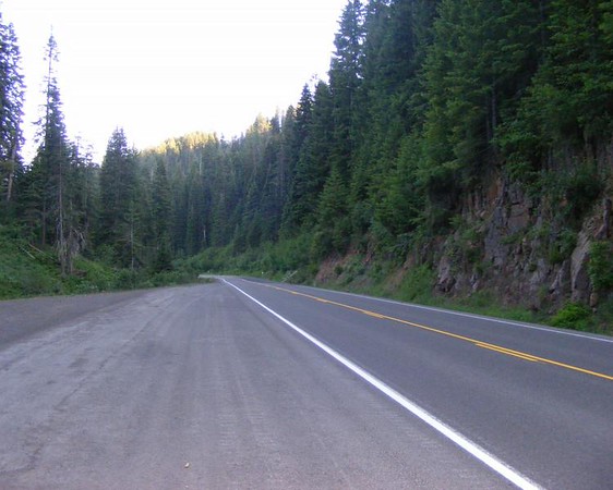
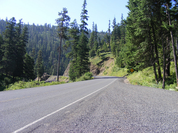
That would prove to be the only excitment of the day. We got the the TCHwy with out further incident and headed west.
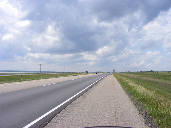
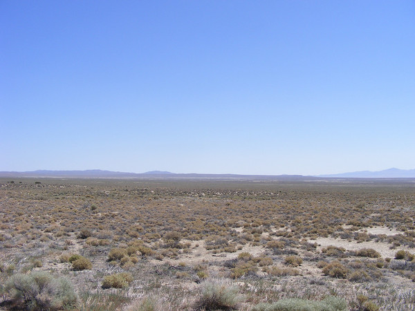
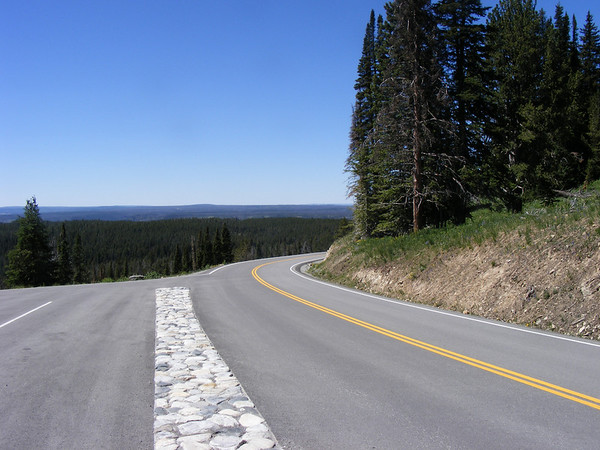
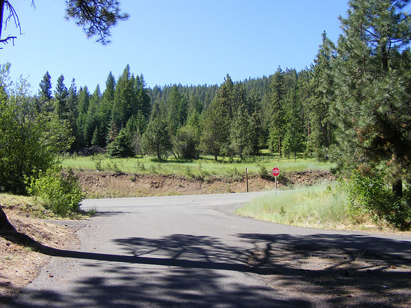
It looked as if it might rain on us..
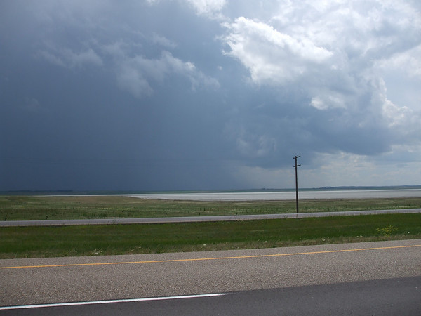
But it never did. It turned into a beautiful afternoon but it was still windy.
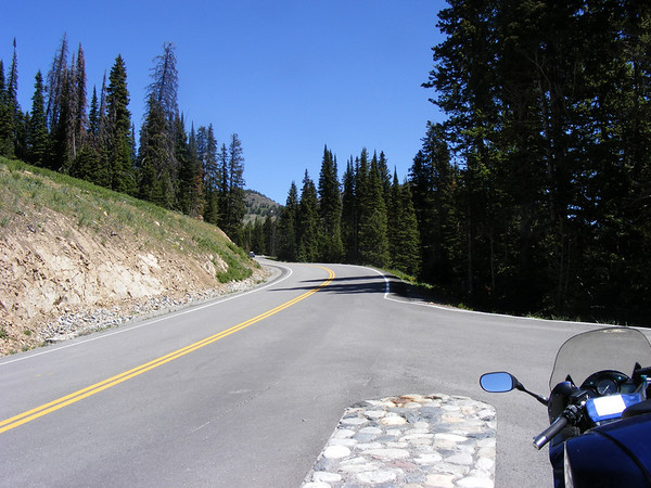
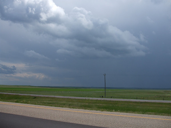
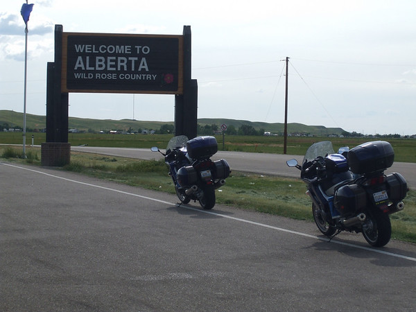
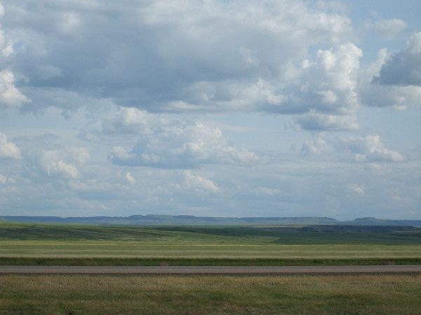
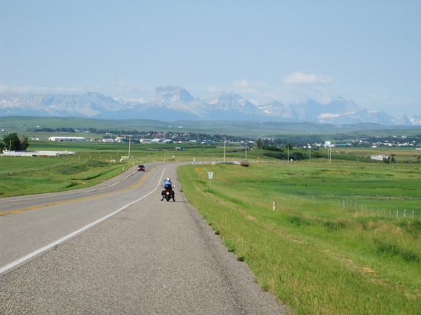
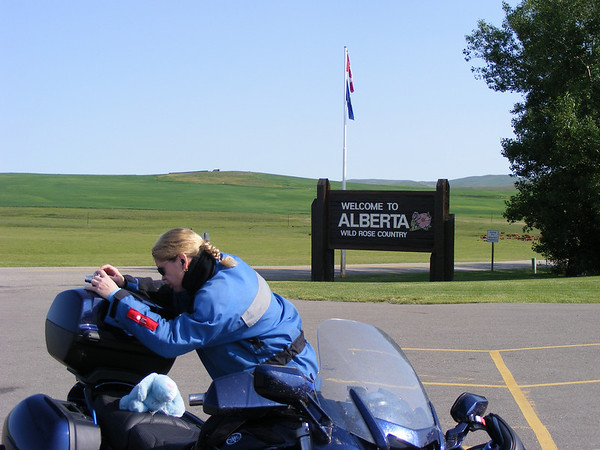
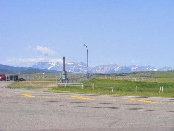
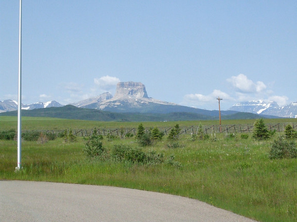
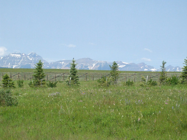
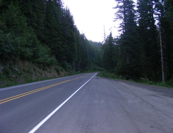
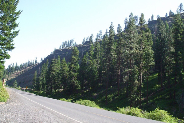
We then entered Alberta..
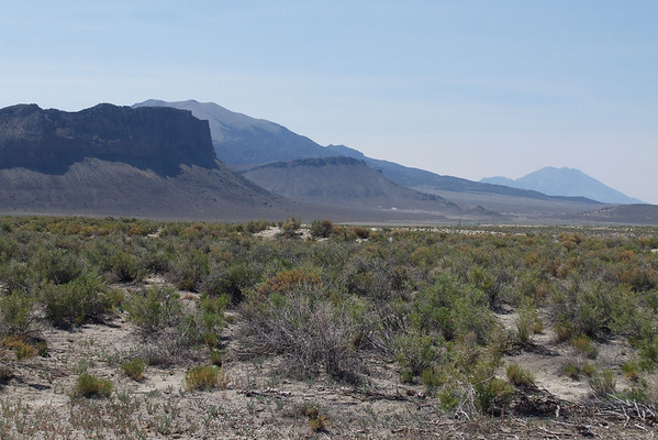
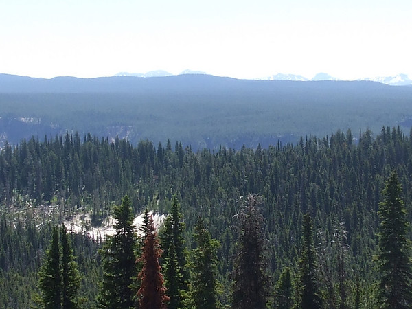
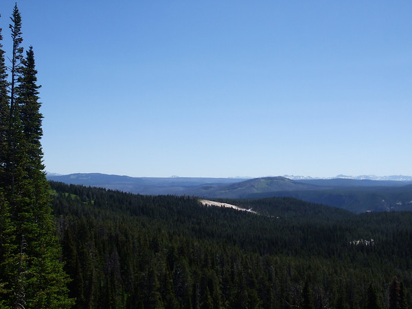
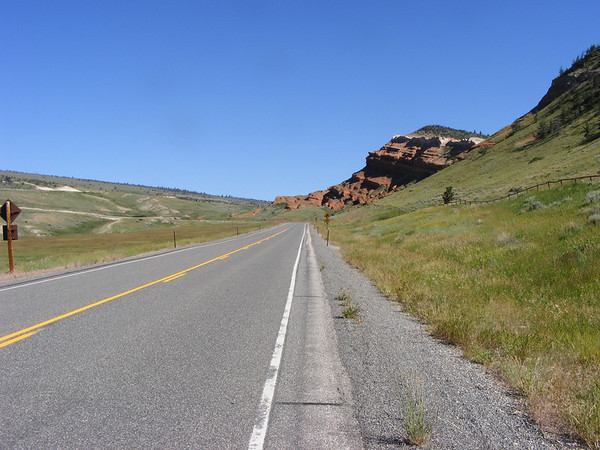
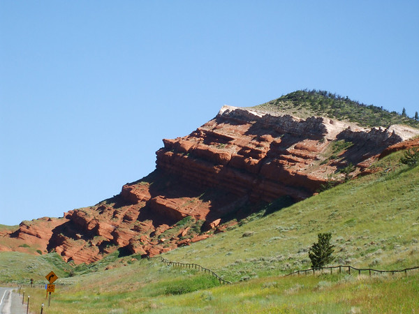
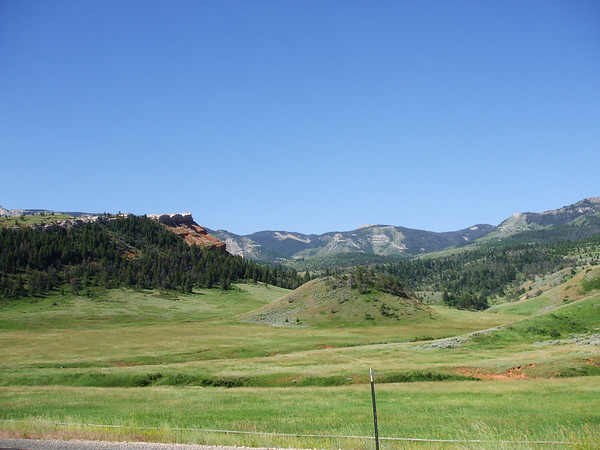
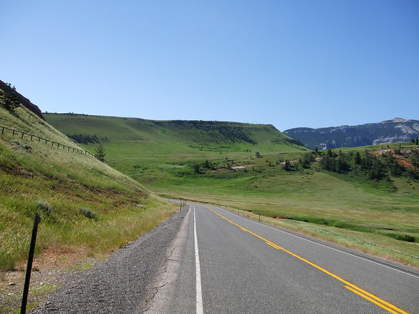
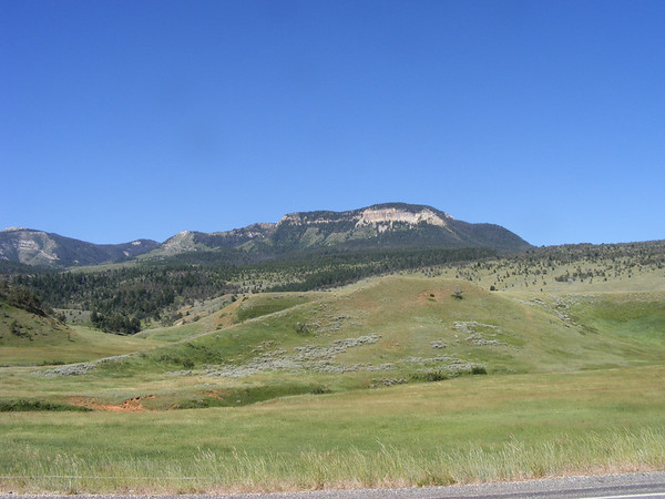
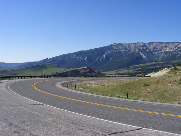
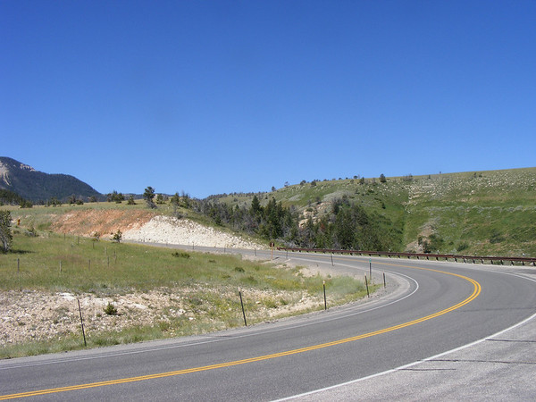
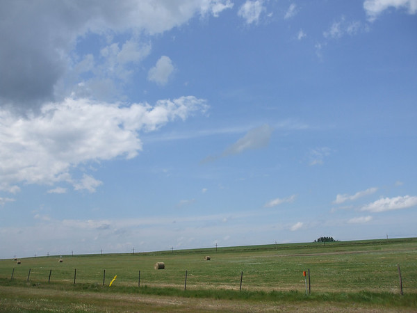
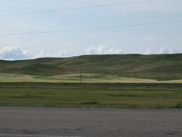
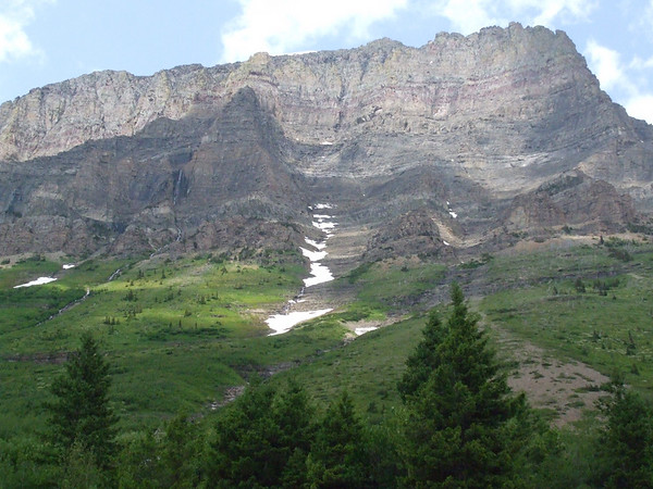
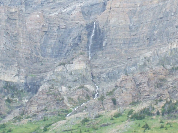
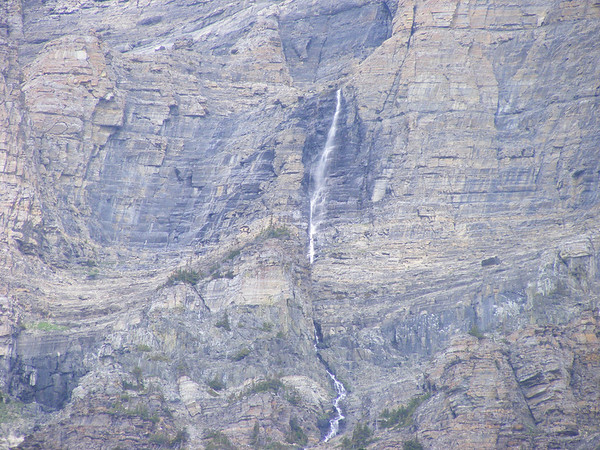
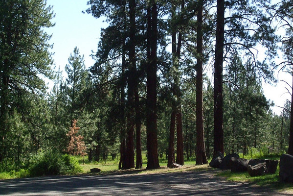
Again, beautiful contry side here too..
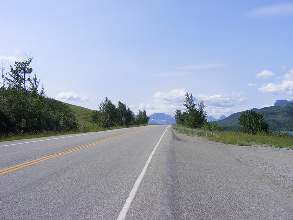
Then it was onto Leathbridge, Alberta for the night. Our usual routine would follow, food, shower, sleep. And after another 700+ mile day we would need it.
To be continued.....
SO, being the adventurous soles we are we started planning for vacation 2008. But where do we go? (Quiet Radman!) Well, we'll have to go a little further west this time and while we're at it let's go further north and south as well, so I started to plan the Westward Ho! trip back in November of 07.
We had heard of all these roads out west that are a must ride type of road, you know the Going to the Sun Hwy, Lolo Pass, Rattle Snake Ridge, Beartooh Pass, Chief Joseph and Spearfish Caynon so I got about to planning a trip that would include ALL OF THESES roads. Ambitious, yes but what the heck lets go. At first Canada was not included but when Vicki saw the route I had planned she said why not go to Canada, eh? So I penciled in Canada, eh? Mapped out the routes made all the hotel reservations then changed them after we made a change to stay an extra day in Cody, WY. Then sat back and waited, and waited for the first day of our journey. This year we would go from home in IL thru WI, MN to ND then north into Sask, west to Alberta then south into MT across ID to WA south into OR then further south to NV then east to clip Utah, north back into ID east thru WY back into MT then back into WY then SD, MN, WI and back home to IL. Just over 5500 miles in 13 days.
Let us begin.
DAY 1
Today would be a quick 800 mile jaunt from home to Bismarck, ND.
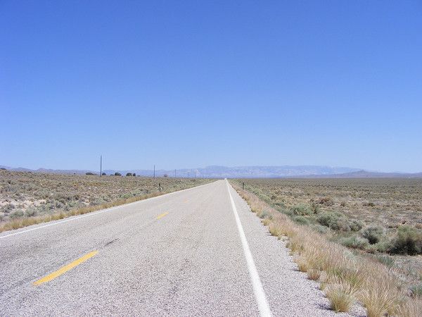
Today's route..
And for those of you who are familure with the Sport Touring site we had a traveling companion with us for this little journey.
Chili, the official unofficial mascot of Sport-Touring.net
We didn't take any pictures as it was all interstate riding. We had left home at 3:40 AM or OHdarkthirty. After our first gas stop and breakfast we continued north & west along I-94, and as the sun came up so did the temps. It was going to be a hot day. By the time we got around Eau Claire,WI it got windy and it stayed that way all the way to Bismarck. We had gotten rained on shortly after entering ND but that only lasted 10 minutes at most. It then got back to being hot.
We pulled into Bismarck about 8:00 PM, got some dinner, took a shower, and got some sleep as we would be leaving tomorrow at about the same OHdarkthirty hour again, about 4AM this time.
DAY 2
Today's route..
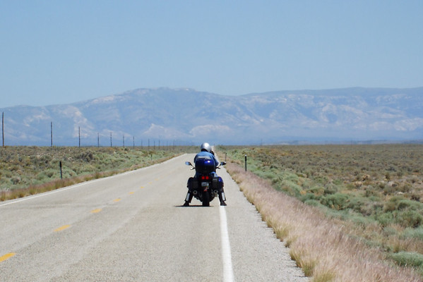
Today would take us from Bismarck, ND to Lethbridge, Alberta Canada. As stated we left at 4 AM and headed north on US-83 towards Sask, Canada. Today we would take a few more pictures.
Sunrise along US-83 in North Dakota.
Sunrise by Audubon Lake in ND.
After watching the sunrise we continued to Minot ND for breakfast and fuel. As we continued north & west on US-52 we came upon this.
From a distance it looked like there was water on either side of the road, turned out to be a sea of blue flowers, neat. The real lake was just up the road a piece.
Des Lacs lake
After this it was a hop, skip and a jump to the Canadian border. We had gotten our passports back in March so we were set to go out of country, sort of.
As we pulled up to the crossing the last tune finished on my Ipod, and appropriately it was a Rush tune. I went to the crossing first telling the border agent that the other bike was my wife and we were on vacation and had not stopped at the duty free store he had me pull up. After he talked to Vicki they asked us to come inside, we have different last names so they wanted to check things out. That took all of 5 minutes and we were on our way, no cavity searces for us today thank you very much.
Crossing into Canada. Don't tell anyone but Chili didn't have a passport so I smuggled him in, ssshhhhhhhhh!!!!
We then headed north on PR-37 to the Trans Canadian Highway but as we entered Estevan, Sask this semi goes flying past the other way and hey is that an aiplane in the sky, THUD!!!! Nope, it was a rock which landed on the top of my helmet shatering the vent cover, see.
That would prove to be the only excitment of the day. We got the the TCHwy with out further incident and headed west.
It looked as if it might rain on us..
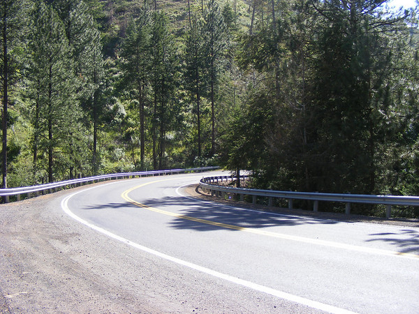
But it never did. It turned into a beautiful afternoon but it was still windy.
We then entered Alberta..
Again, beautiful contry side here too..
Then it was onto Leathbridge, Alberta for the night. Our usual routine would follow, food, shower, sleep. And after another 700+ mile day we would need it.
To be continued.....
Last edited by a moderator:
 I read about this quite a bit but never experienced it until last week when I was in New Mexico. The trick is to unlock the cap but not open it up right away. Of course, I forgot this when I refueled at the station closest to The Four Corners and I had to jump out of the way of the geyser eruption! <_<