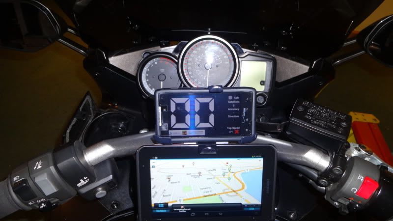
I have used my iphone 4s for about 12k miles. I use Navigon for the GPS app. That allows me to have a reliable GPS outside cellular signal. I have found an easy way to create custom routes without jailbreaking and I am using a 4Lock handlbar mount with a Ultimate Addons direct to battery charger. I currently have this in my FZ1, but I will be replicating it on the FJR.
Here's a post I wrote from another forum I am on carolinariders.com. This explains how I use google maps on a computer to make my route. You have to build extra destinations into your google route to force the GPS to take you preferred route. This will take some practice, but I am much faster at it now than I used to be.
"I have been trying to find a good easy way to use a GPS for turn by turn directions using custom routes.
I think I finally have an easy system to use. I had a complex system, but it really was a lot of trouble.
Here's what I have:
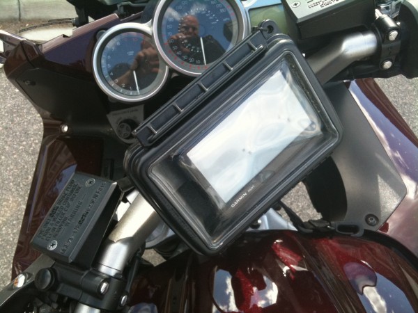
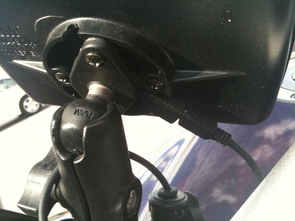
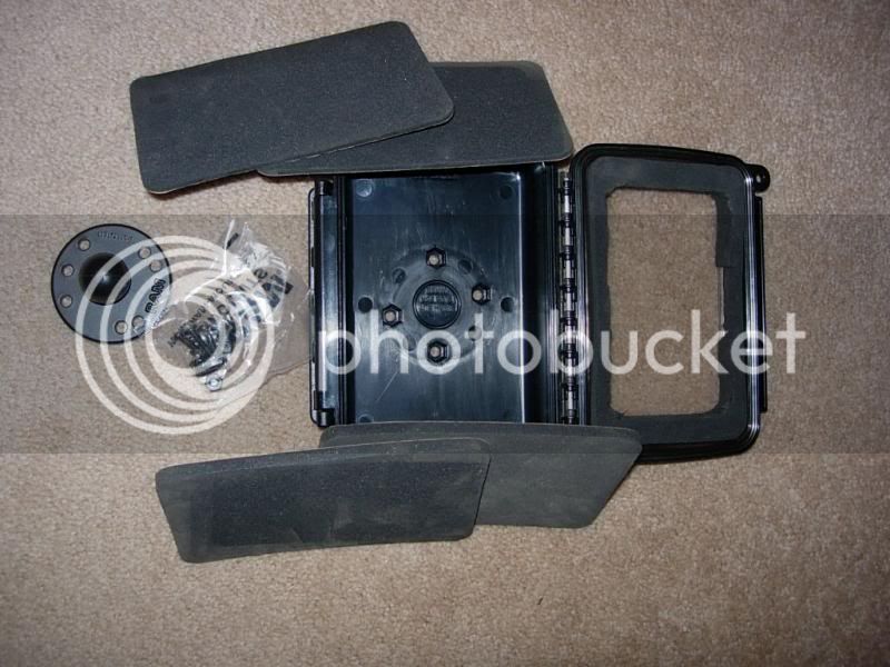
4Lock handlebar mount for iPhone with raincover
Ultimate add-ons direct to battery iphone charger
Navigon GPS App
and of course an iPhone. I use an iphone 4, but should work with any version with appropriate mount
Go to Google maps and plan your route. Make sure you add destinations to plan your route and not just waypoints or dragging the streets around. This will take a little practice, but you need to place the destinations strategically to make it go where you want it to. Navigon will see this route as a string of destinations.
Then save the route to "My Places". After you save it you will see a small link that says KML. Download that file.
Now download route converter here:
https://www.routeconverter.de/home/de
Open the KML file you just saved. (You could also build your route in this program)
After you open the KML, save the route as a Navigon URL. This will create a txt file with a link. You can copy this text and email it to yourself.
Now take your iPhone, that already has Navigon installed, and check your email. Click on the link and Navigon will open with the route you just planned.
Hit the little calculator icon at the top and go ride your custom route.
I took it a step further. I like to archive my routes and use them again later. I use dropbox on all my computers and iphone. This allows me an easy way to keep a few things synched between all my devices and allows for offline copies in case you lose your data connection.
I created a txt file that contained two navigon links. One to get there, and an oposite return route. Now I can use it over and over with ease.
I know this sounds like a long process, but it is really very easy.
If you guys know of something even better let me know, and I wil try it out."


")