The Great White North Liberation Army Launches Attack

Yamaha FJR Motorcycle Forum

Help Support Yamaha FJR Motorcycle Forum:

This site may earn a commission from merchant affiliate links, including eBay, Amazon, and others.
Have it your way, Diablo Lake. Now if I don't get anymore interruptions from Bungie I can finish yesterday's report.

One more photo from Diablo Lake...
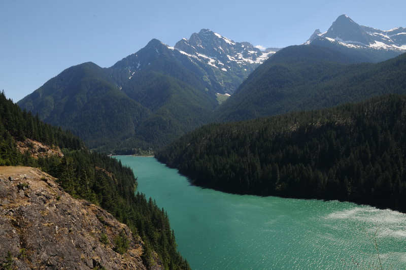
DSC_0444-L.jpg


It seems everytime I get anywhere near Seattle my motorcycle is in need of some kind of repair. Once again members of the PNW crew came to the rescue and once again I found myself on the fun roads that lead the back way to George's place. Ray was not happy that I took about 50 kilometers of I5 to get there but my thinking was that we had already had a long day in the saddle and just wanted to get to George's ASAP, get the bike fixed, find a motel and get some sleep. It all went to plan as it was a quick ride southdown against the commuter traffic coming out of Seattle and George's wife had ice tea waiting for us when we arrived. George already had the tools laid out and repairs were effected quickly and efficiently.

Thank you George for once again coming to the rescue.

In the meantime the Great White North Liberation Army left a note for Wheaton who had left his bike with George....
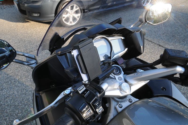
DSC_0445-L.jpg


With repairs made we said our goodbyes and headed into Monroe to bunk down for the night. Ray picked out a motel room that has the main railway line running right through the middle of it judging from the volume of the air horn.

- to be continued -

 
What is your ETA in Spearfish Ray or Billy, want to make sure I can ride the ride with you guys.
I'll have my new tires on Ray, so you can lead from the back.

AbercrombieFJR tells me the Hill City to Keystone road is a favorite of yours but that you ride it like an Old Woman - JSNS
Liked the Hill City Rd also, well except for all the RR track crossings that it keeps dipping in and out of.

BigJ- missed you in/at CFR! :(

 
Monroe to Randle

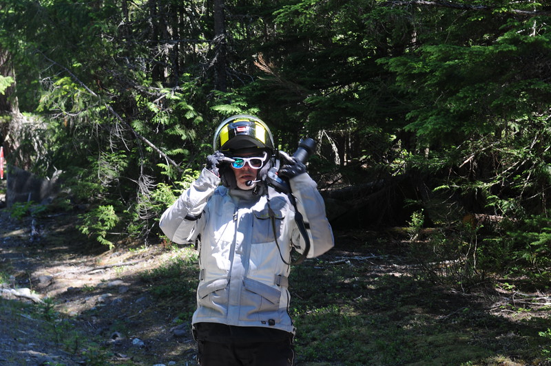
We started out in overcast and worked our way to the east and south staying clear of Seattle commuter traffic. Once we got close to Mt Rainier Jeff thought he would view the scenery in 3D....

DSC_0449-L.jpg


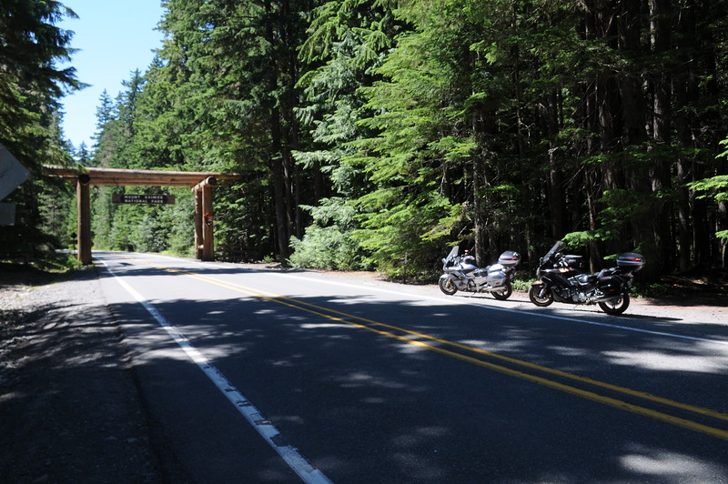
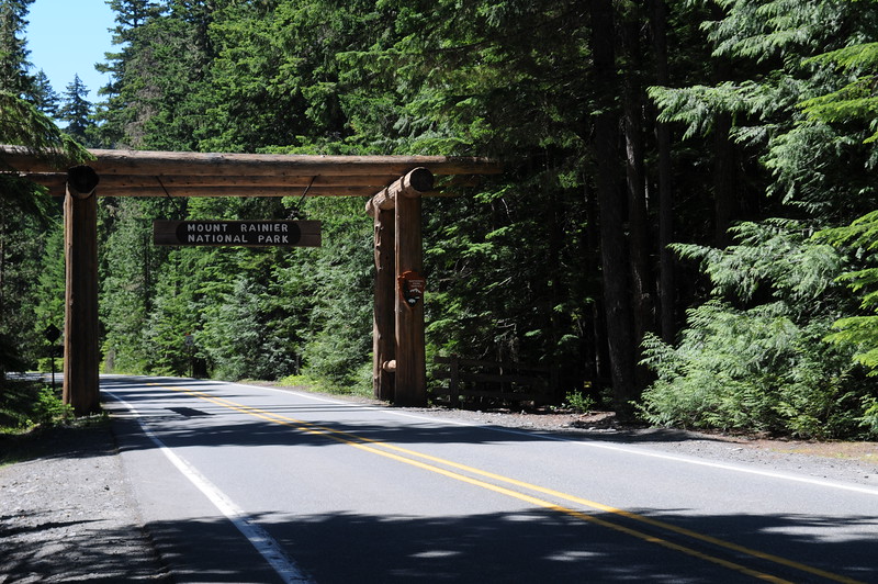
We stopped at the entrance of the park for a photo op....

DSC_0450-L.jpg


DSC_0451-L.jpg


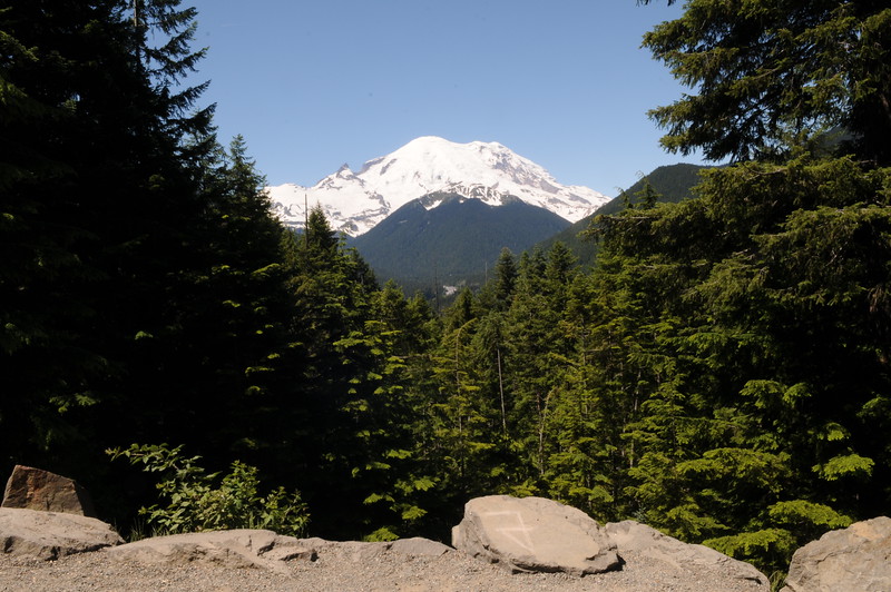
We found one pullout that had a nice view of the mountain...

DSC_0457-L.jpg


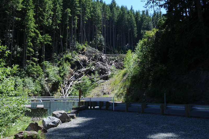
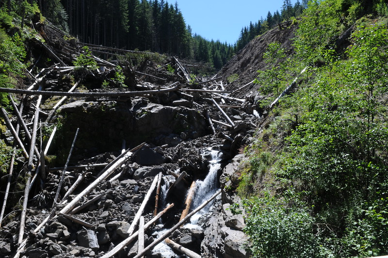
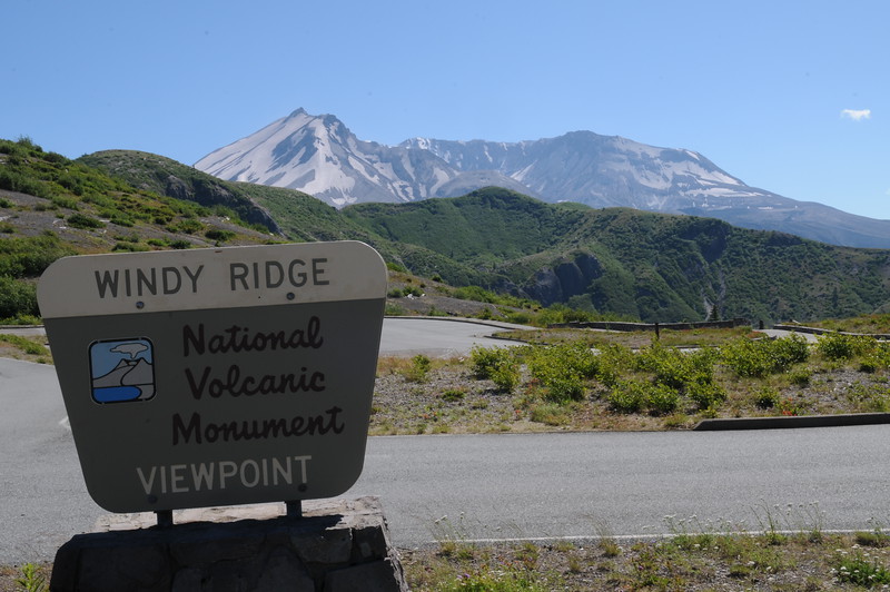
Ray being a stingy old curmudgeon wouldn't part with the money to take the road to Paradise so we took the boring way to Randle. We stopped in town for lunch and then headed south on Forest Road 25 and make the run up to Windy Ridge to view Mt St Helens. The was a slide a number of years after the eruption that took out the bridge on FR25. The bridge has now been replaced....

DSC_0458-L.jpg


DSC_0462-L.jpg


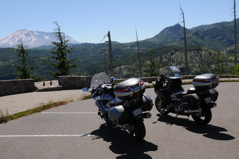
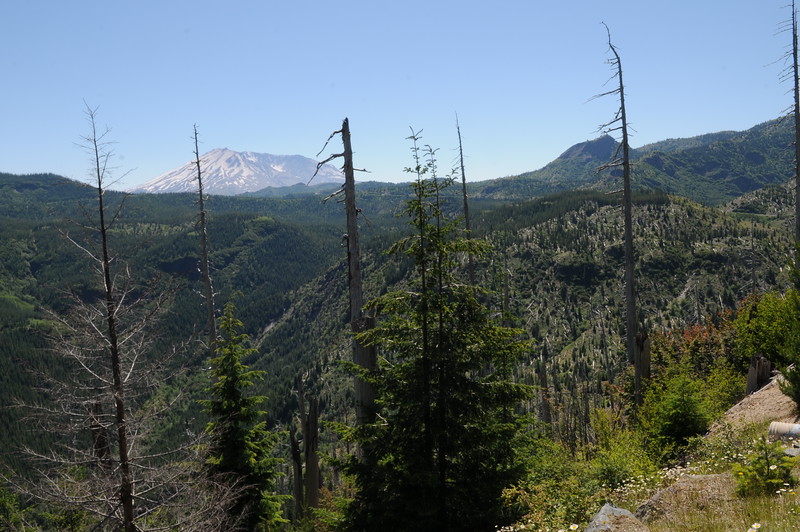
I have video that I will be posting later from the bottom of NF99 up to the blowdown lookout. Let us just say it was a most enjoyable ride. The blowdown area is not quite a barren as it was last time I was there but it is still obvious that something massive happened...

DSC_0463-L.jpg


DSC_0465-L.jpg


If you look closely you can see all the logs that were blown over by the blast.

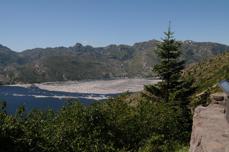
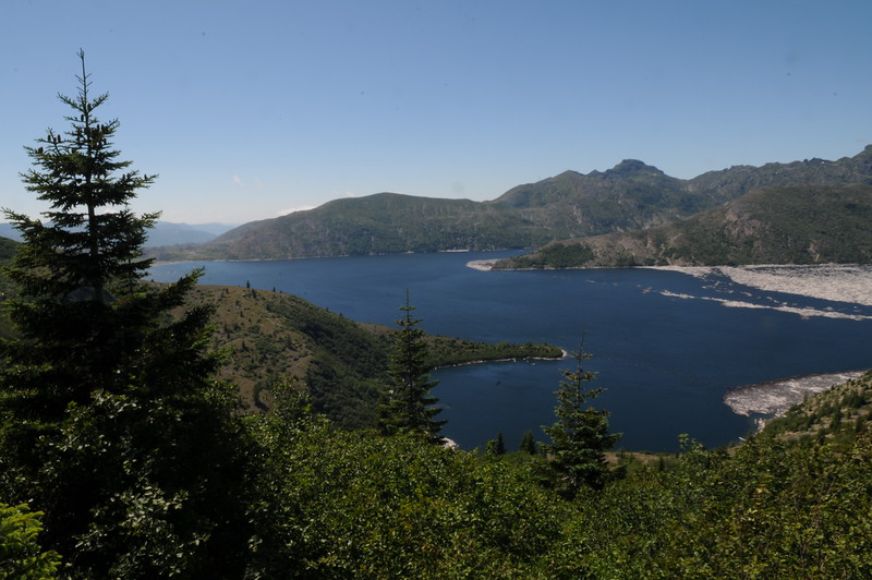
A little further up the road you come to the lookout for Spirit Lake and can still see the log boom that formed when all the logs were blown into the lake...

DSC_0467-L.jpg


DSC_0470-L.jpg


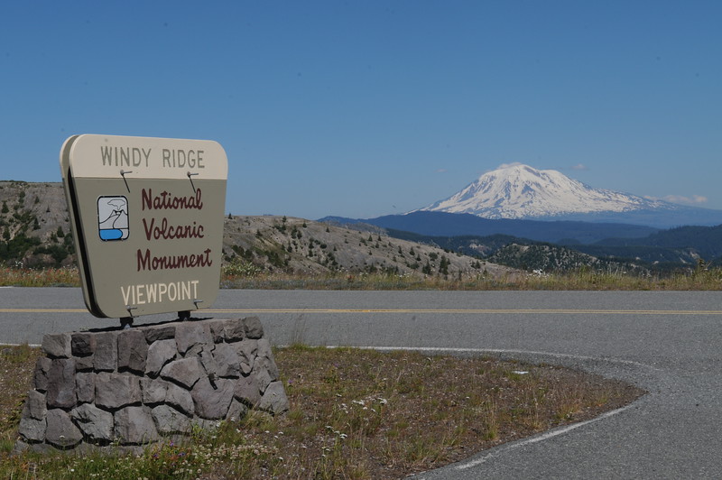
We finally reach the parking lot at the end of the road. It was fairly obvious where the name Windy Ridge came from. It was difficult to hold the camera steady enough to get decent photos....

DSC_0475-L.jpg


We think that is Mt Hood looking in the other direction....

DSC_0473-L.jpg


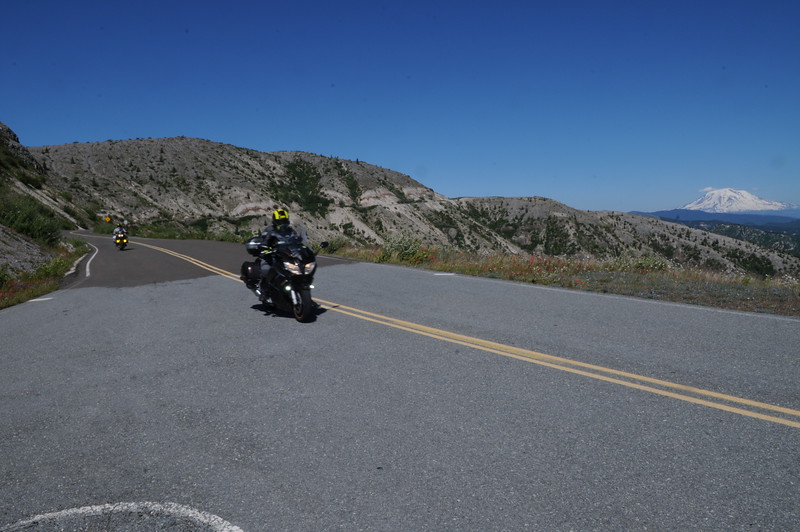
Ray and Jeff were behind me at this point so I documented their arrival....

DSC_0484-L.jpg


We took a rather gentle ride back down the hill to Randle due to the road conditions on FR25 where we are staying the night.

- to be continued -

 
I trust --G sent to you on your way with directions to take the roads of twisty righteousness, thus avoiding all Seattle freeways, which are not longer free in a traffic sense of the word. Freeways on weekdays are a congested kluster fuke here in Seattle anymore.

I was following you fellows for a while. On Tuesday I left Sandpoint ID at 6:00am and rolled through Newport Wa about shortly thereafter. Did not see any signs of the Liberation Army.

My route diverged at this point favoring little known twisty roads North and East of Spokane to avoid the 60 mile freeway slog from Arlington to Renton Washington.

It is great riding around Western Washington right now with temps in the 70's and low overcast. The overcast is just a marine layer and areas at elevation such as Mt. Rainier should be clear most of the day.

Great ride report. Looking forward to more.

PS. Given the route don't regret skipping the road to Paradise. It is a nice road with several great view of Mt. Rainier however there are only two options to get to Randle. The first is the Skate Creek road, a goat trail of the first order, or going down to Elbe, to Morton and back to Randle adding a few miles to your day.

 
Last edited by a moderator:
George, by God, you didn't let those HOSERS touch my bike didya?
biggrin.png
...I tried buddy, but two of them distracted me while Ray made his move! Niehart was a no-show so I was running solo dealing with the invasion force!

Great RR Bill...my garage is always open!
smile.png


--G
Good thinking about keeping Bill in the garage. I wouldn't let him in the house either.
no.gif


I think I'm starting to understand the Liberation Army's Strategy - "Let's take over places where no one lives". Clever.....

 
George, by God, you didn't let those HOSERS touch my bike didya? :D
...I tried buddy, but two of them distracted me while Ray made his move! Niehart was a no-show so I was running solo dealing with the invasion force!

Great RR Bill...my garage is always open! :)

--G
Just think about it Wheaties --G' garage is ALWAYS open. :D

 
Dangit...I hope those Ontarioites get tired of a land without Timmy's.
8 more days and I get to commence a counterattack.
I have been secretly conducting recon behind enemy lines for a week now, and may be able to provide some intel. I still have a week 'in-country' and will report when I return. To camouflage my self, I have been traveling incognito...or in an RV for those who don't speak French...

 
I trust --G sent to you on your way with directions to take the roads of twisty righteousness, thus avoiding all Seattle freeways, which are not longer free in a traffic sense of the word. Freeways on weekdays are a congested kluster fuke here in Seattle anymore.
I was following you fellows for a while. On Tuesday I left Sandpoint ID at 6:00am and rolled through Newport Wa about shortly thereafter. Did not see any signs of the Liberation Army.

My route diverged at this point favoring little known twisty roads North and East of Spokane to avoid the 60 mile freeway slog from Arlington to Renton Washington.

It is great riding around Western Washington right now with temps in the 70's and low overcast. The overcast is just a marine layer and areas at elevation such as Mt. Rainier should be clear most of the day.

Great ride report. Looking forward to more.

PS. Given the route don't regret skipping the road to Paradise. It is a nice road with several great view of Mt. Rainier however there are only two options to get to Randle. The first is the Skate Creek road, a goat trail of the first order, or going down to Elbe, to Morton and back to Randle adding a few miles to your day.
Second the Skate Creek road as a Goat Trail, several years ago did that as a bucket list road, looked so good on the map.

 
We think that is Mt Hood looking in the other direction....

DSC_0473-L.jpg


The Army's homing device must be on, because you are looking east to Mt. Adams. You need to march south if you are going to make it to Crater Lake.

Looks like fun!

 
The Army's homing device must be on, because you are looking east to Mt. Adams. You need to march south if you are going to make it to Crater Lake.
Looks like fun!
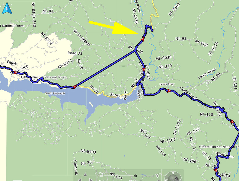
You are correct that was Mt Adams, our recon map reading sergeant Ray is about to be stripped of rank. Look at what he did today....

Rays%20Bungie-L.jpg


Both Jeff and I had GPS routes that told us that Ray had missed the turn but it took the barrier at the south end of NF25 to get Ray to stop and turn around. It was an epic Bungie move. Ray was getting flustered that his Samsung Etch-A-Sketch GPS only had a base map for that part of the route. My far superior Apple sponsored GPS had a highly detailed map of the area so I relegated Ray to the rear and took over.

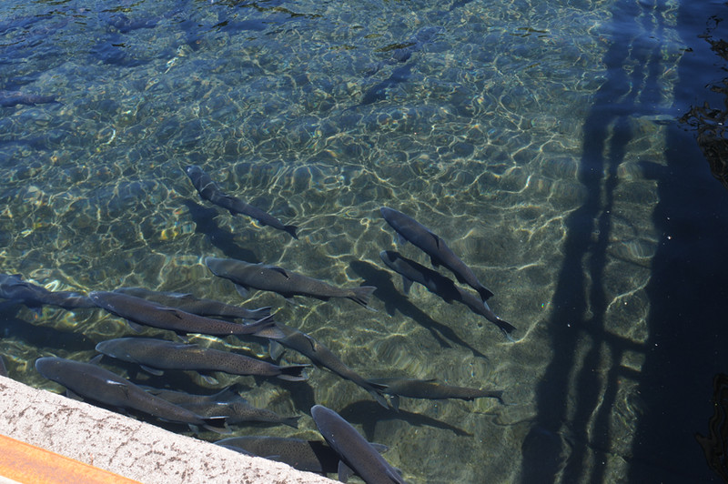
We stopped in at the Carson Salmon Hatchery to check out some of the salmon about to be released....

Thursday1-L.jpg


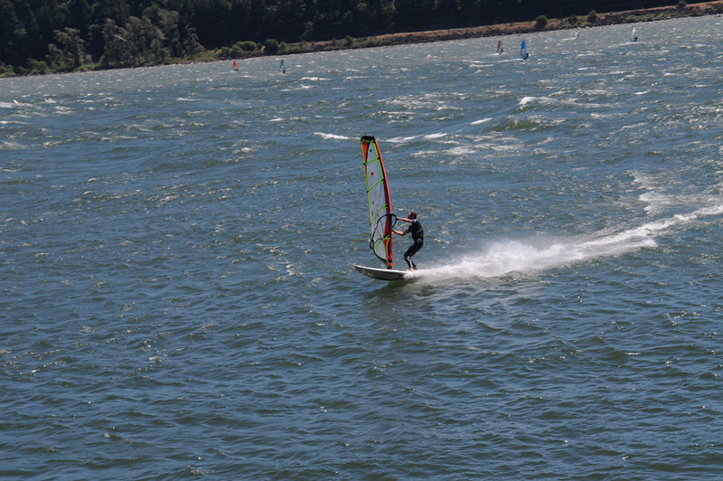
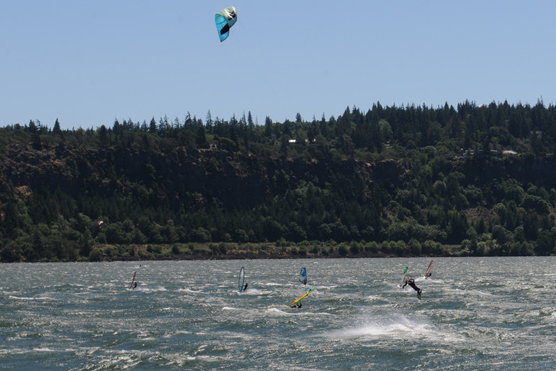
After that stop we followed the north shore of the Columbia River stopping near Hood River to check out the windsurfing and kite surfing action....

Thursday2-L.jpg


Thursday3-L.jpg


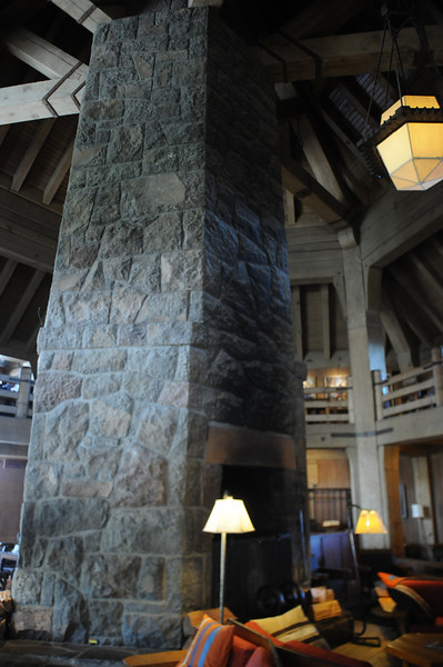
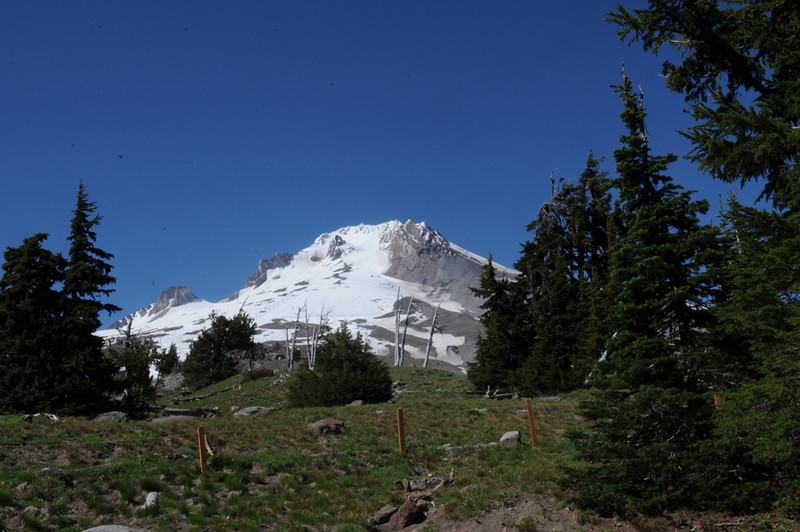
Ray then took the lead back and proceeded to go in circles around Hood River looking for a vegetarian deli. Yes I know what the hell is a vegetarian deli but Ray had a hankering for some tofu in lieu of real food. After Ray finished his foo-foo lunch we headed south to Mt Hood and rode up to the Timberline Lodge...

IMG_3467-L.jpg


Thursday6-L.jpg


Thursday7-L.jpg


The ski camps were still is full swing....

Thursday5-L.jpg


After our stop at the lodge we headed south and stopped for the night in Maupin. After riding most of the day in the lower 20C temps as soon as we left the mountains the temps went up into the high 80'sF.

- to be continued -

 
Last edited by a moderator:
Top