Ramble gdb files emailed.
I gave them a good looking over last night and sent them to my Garmin. I was so glad to see Stanleysville Rd on there. I've been drooling over that pic in this thread since it was first posted.
2 things though. You have them both labeled as the east route, and, you used lots of waypoints (good) in the east route, but instead switched to viapoints on the west route. That makes it REALLY hard to check!
Truth be told, I only check to see that the waypoints are AFTER the turns, not ON the turns.
Tip, when labeling way points, number them as you did, but pad them with a few leading zeros. This keeps them in order and, if you space out the numbering, you can insert between two points easily. So you end up with something that looks like '000-Start' .. '0050-Left on Main' .. '0100 Left on Elm'... etc.
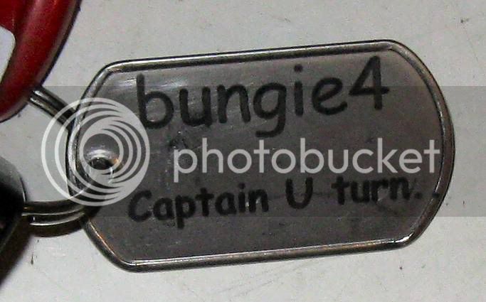
Then again, should you take suggestions from Captain Uturn?
I can't remember when or where but I remember I was trying to follow a route (tuff at the best of times with me) and the GPS wouldn't announce a turn until AFTER you had made the wrong one. You did good Wheatness!


")